
Wednesday, April 15th 2026
This day would be a very long and hard slog.
I knew it was coming, but this particular part of the trail has a whole bunch of different ridge lines that the PCT ran along, but also wove its way between the south and the north sides of those ridges. Repeatedly.
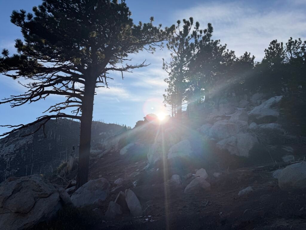
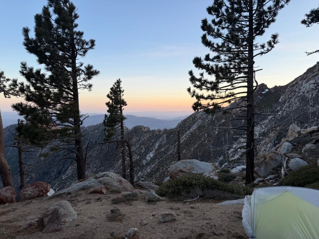
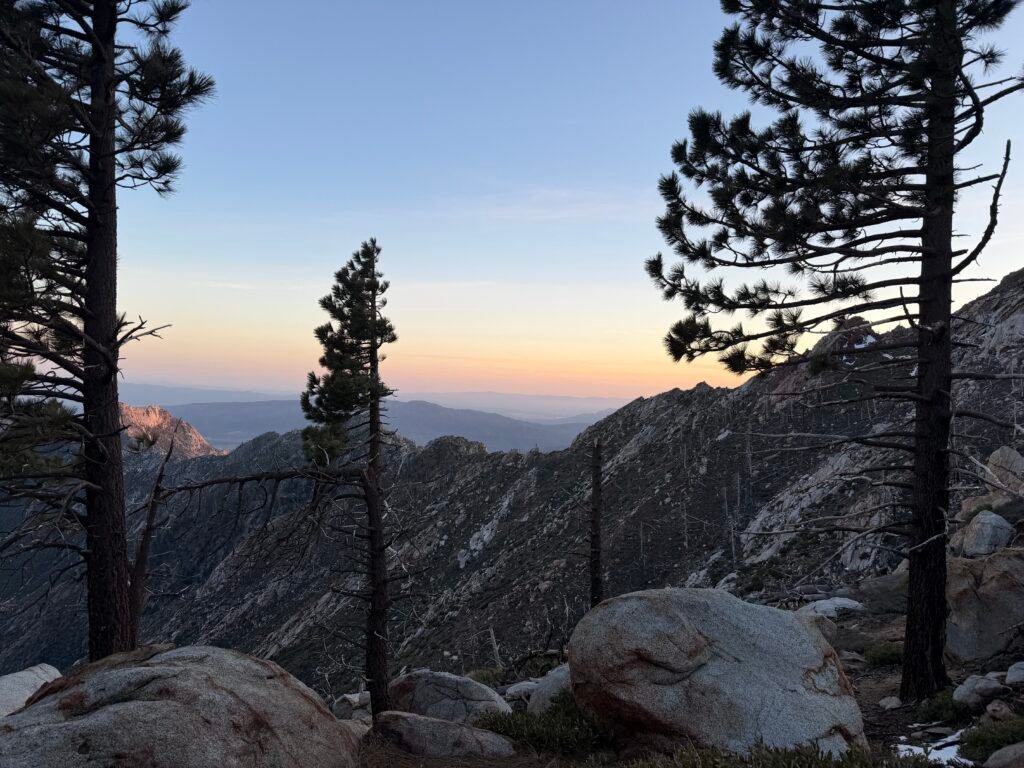
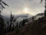
But first, I enjoyed the Sunrise that I worked so hard to find a tent site with a view of it the evening before.

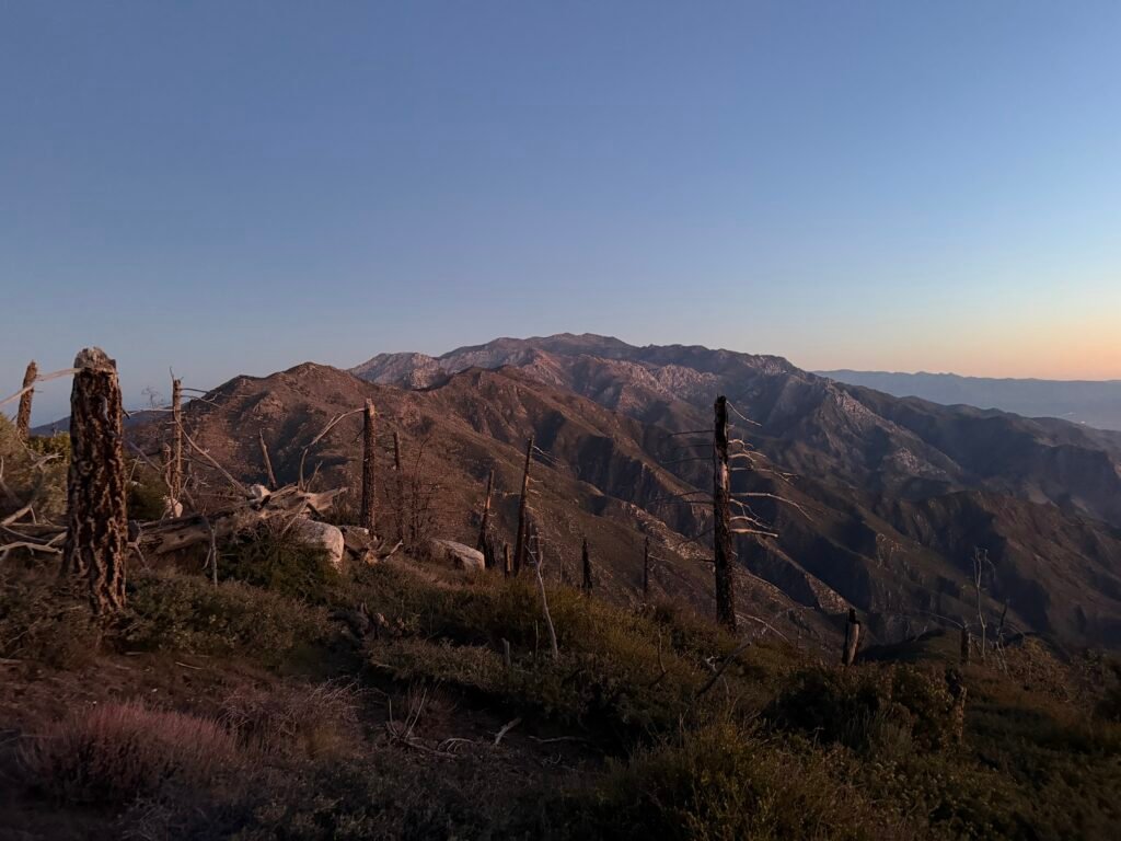
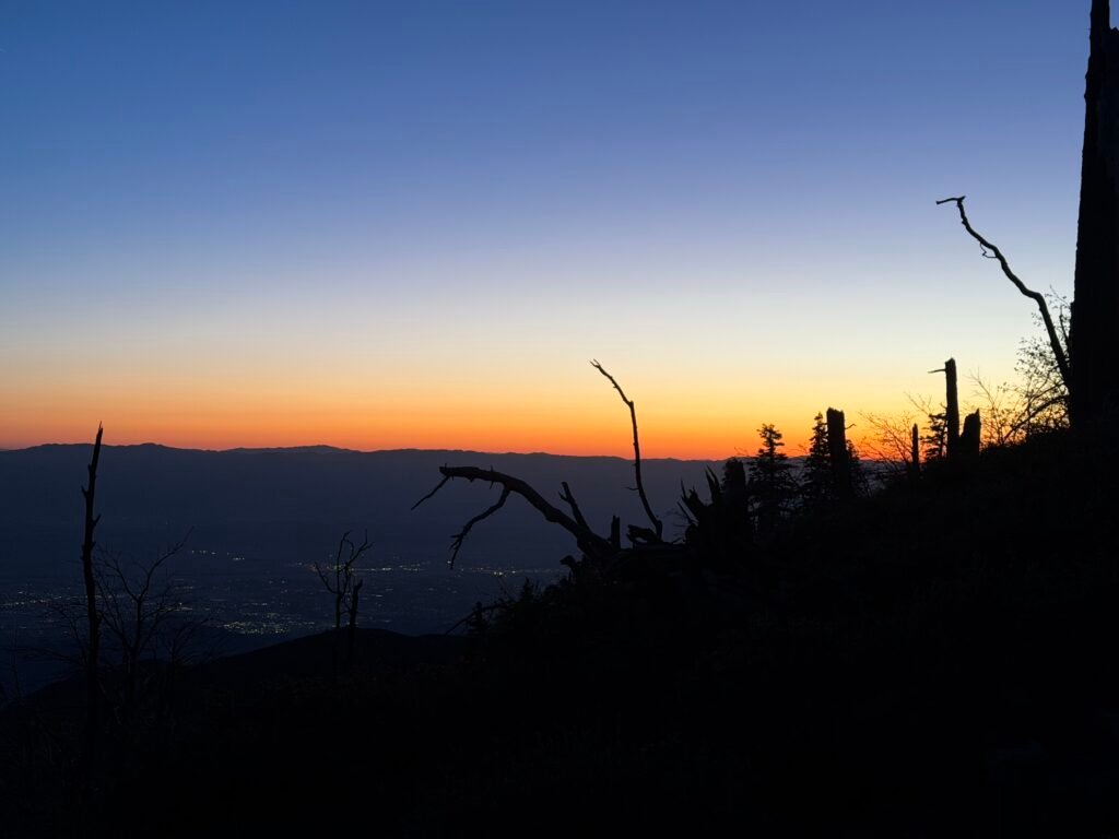
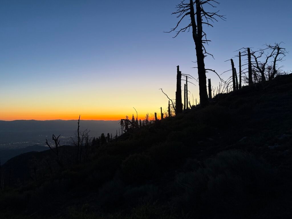
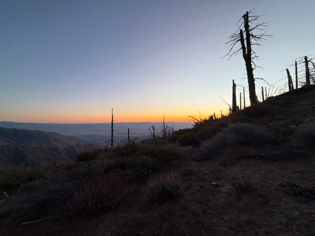

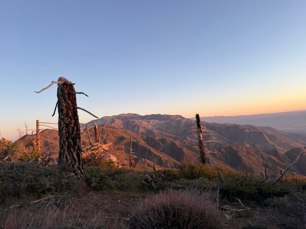

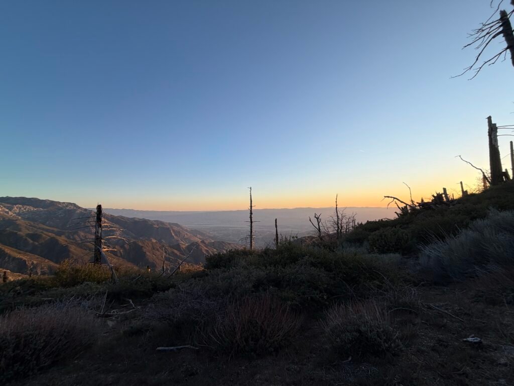
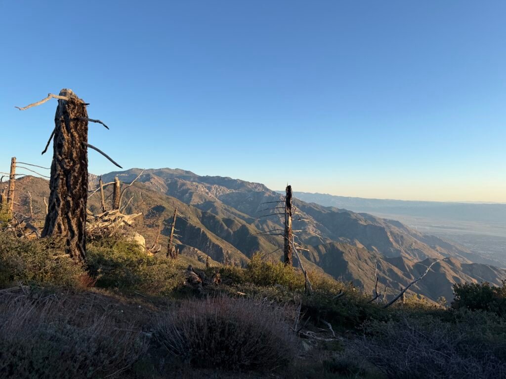
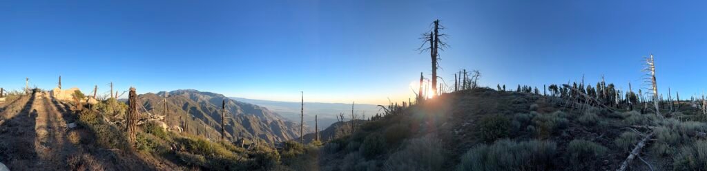

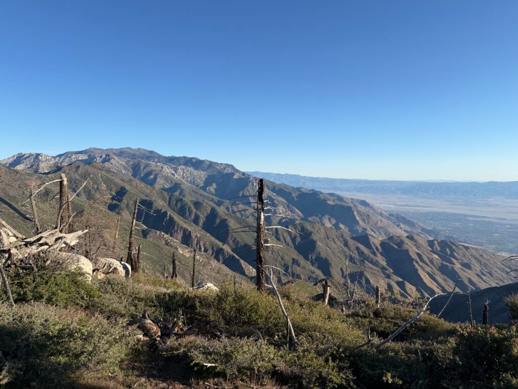

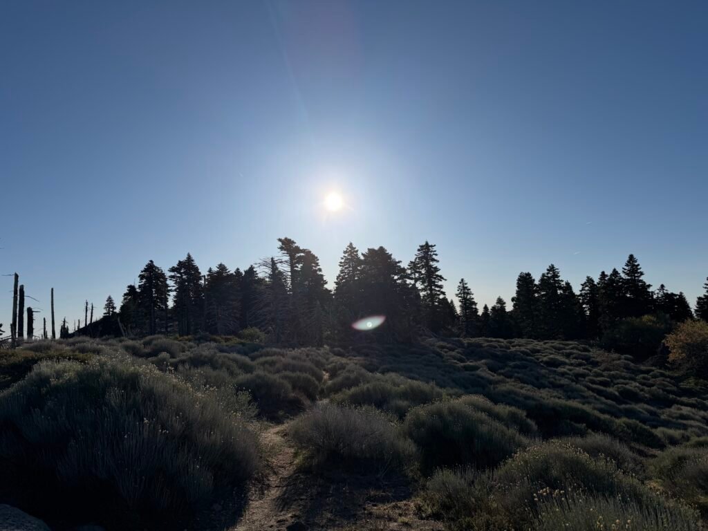
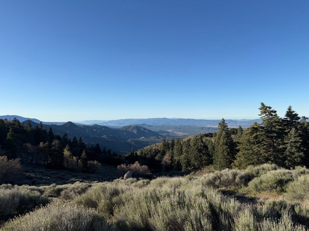
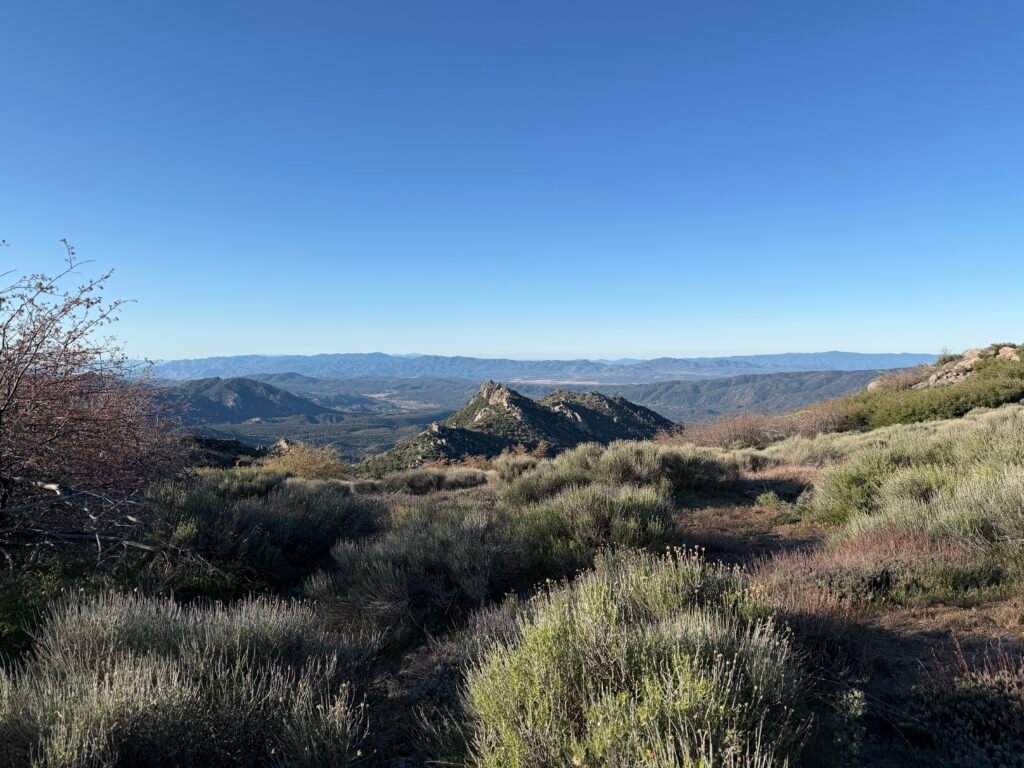
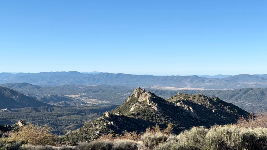
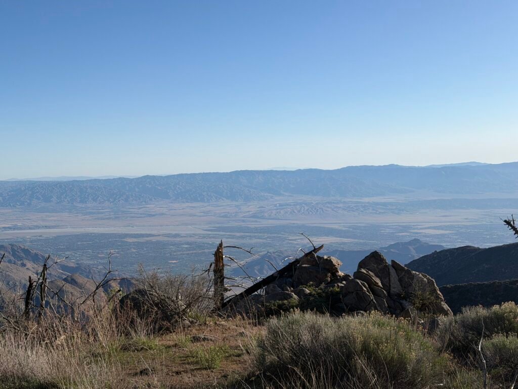
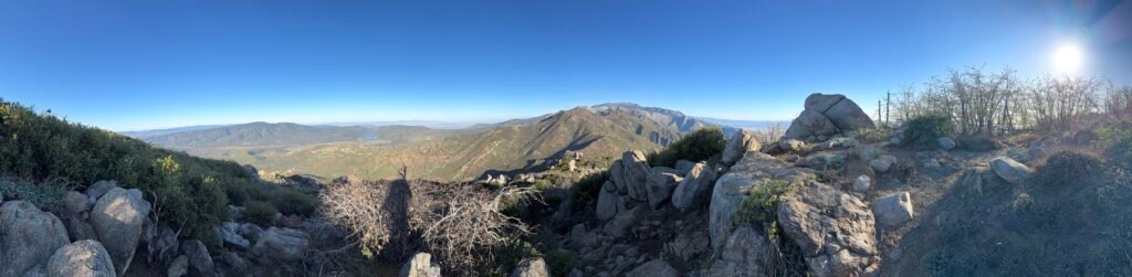
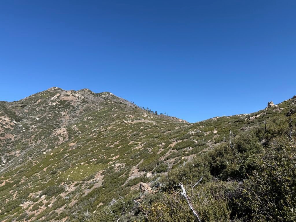
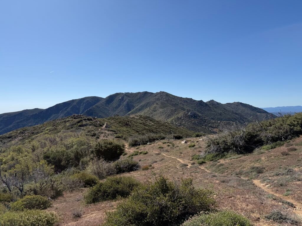
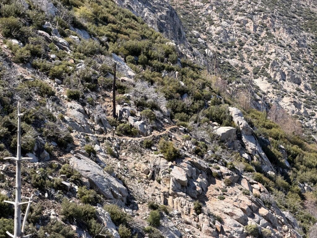
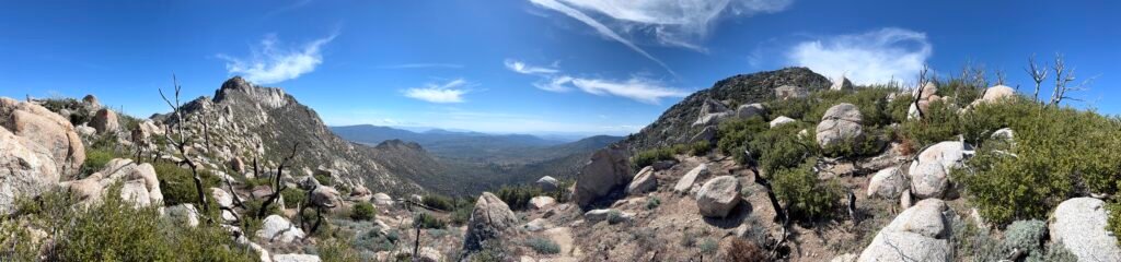
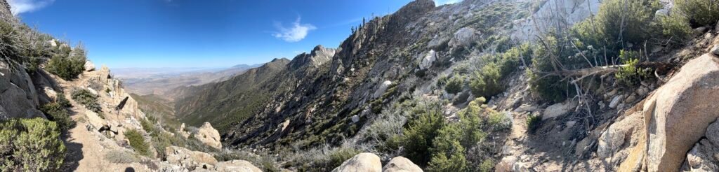
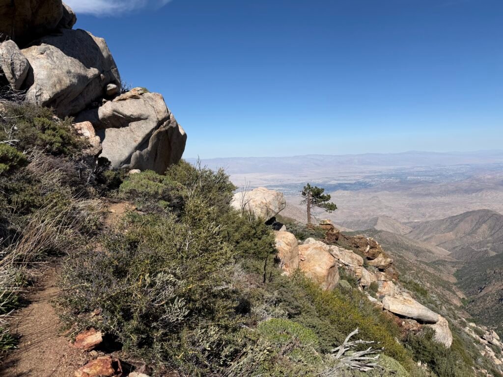
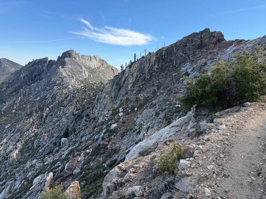
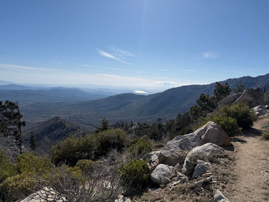
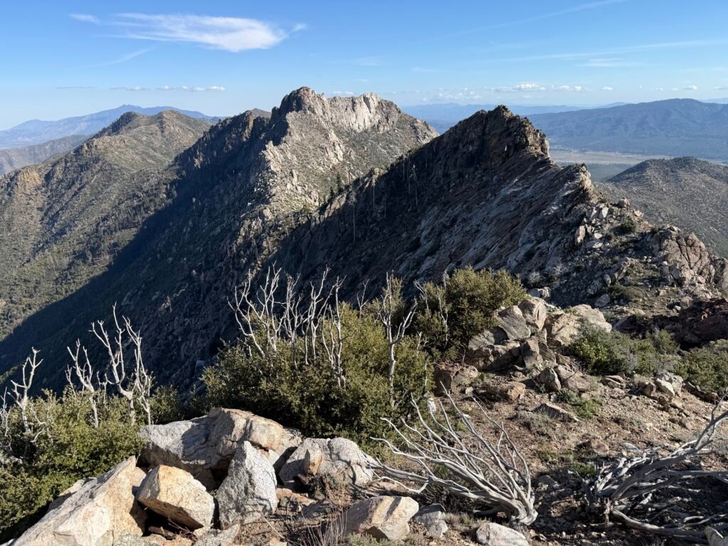
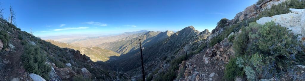
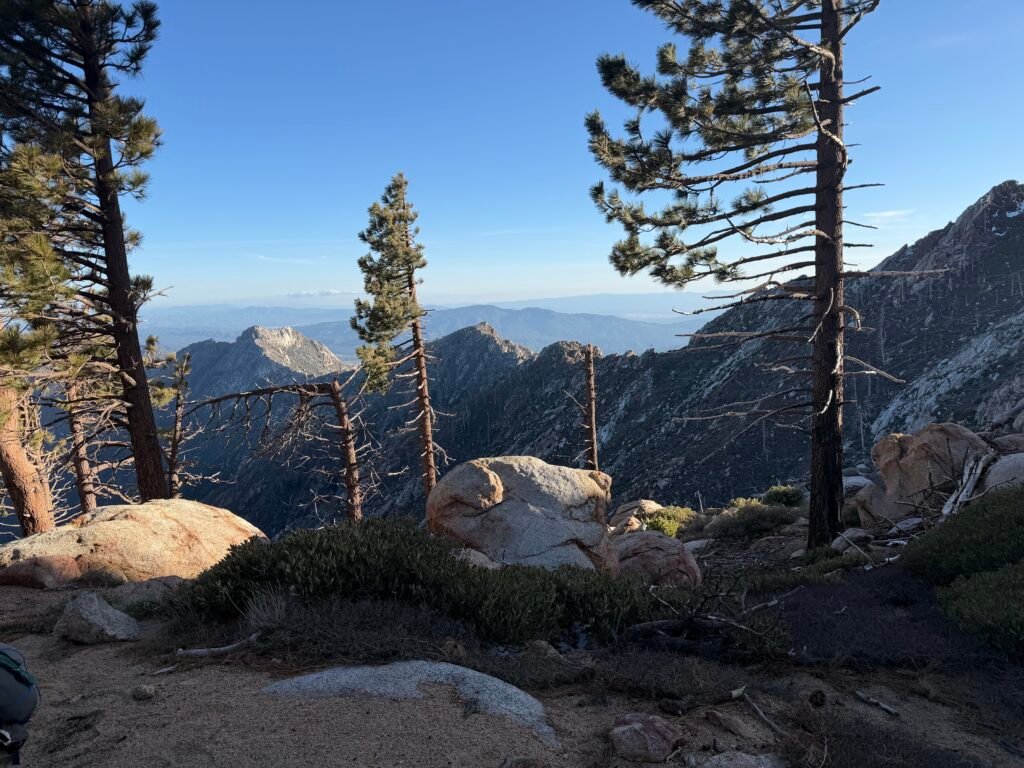
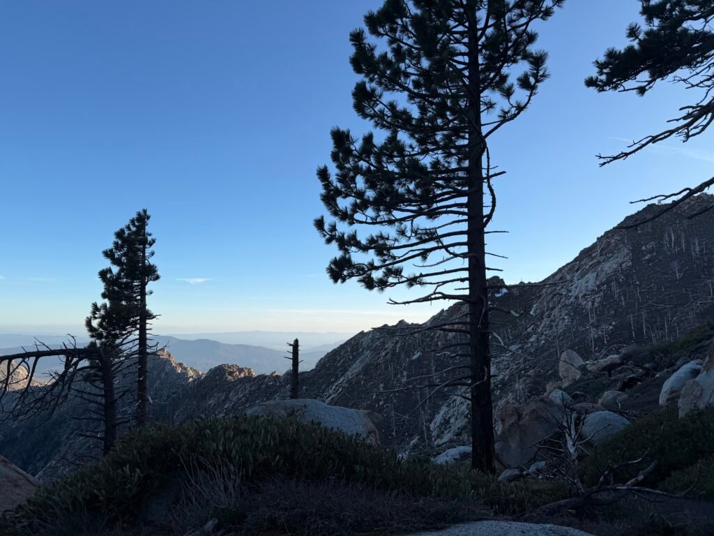
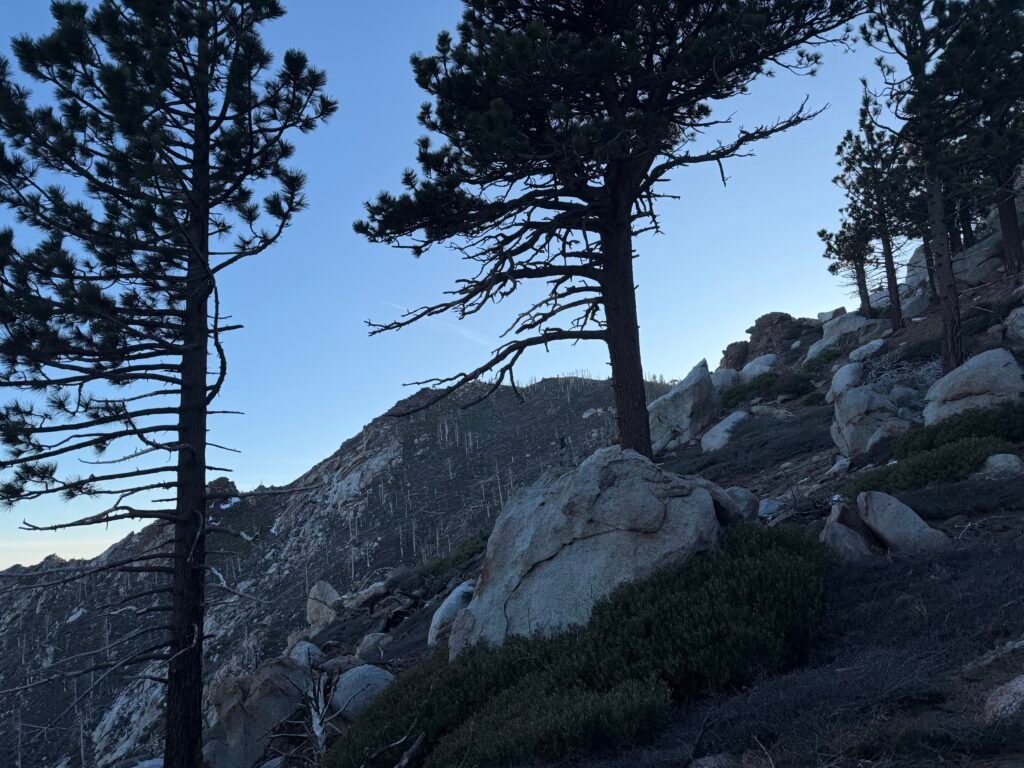
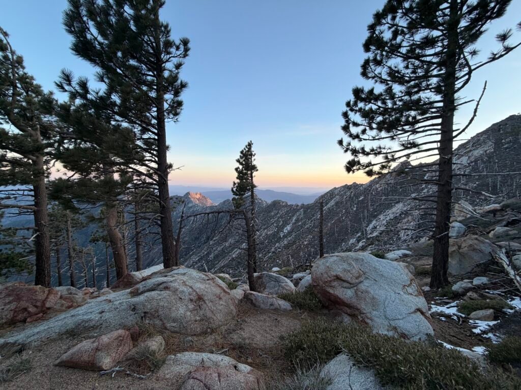
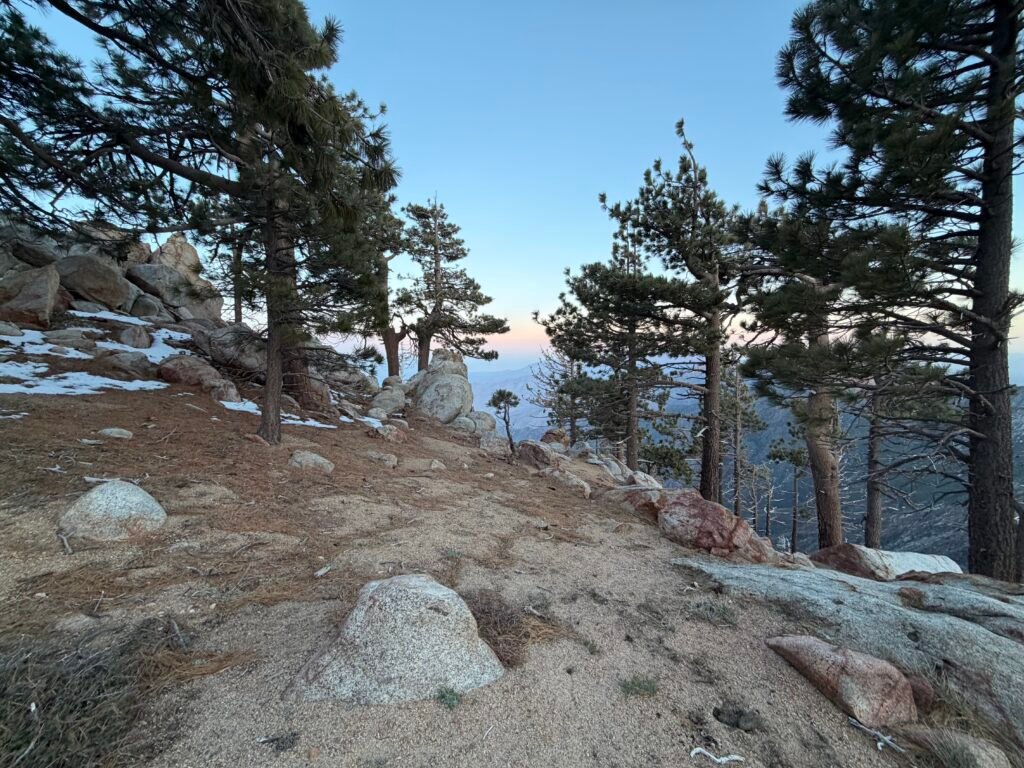
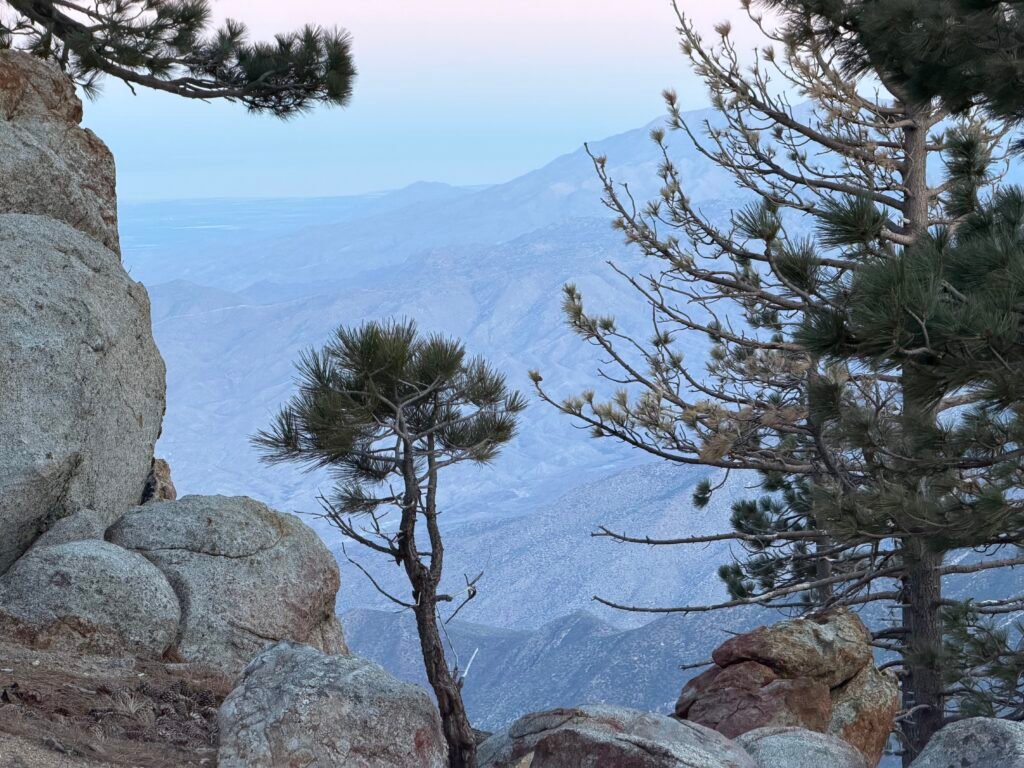
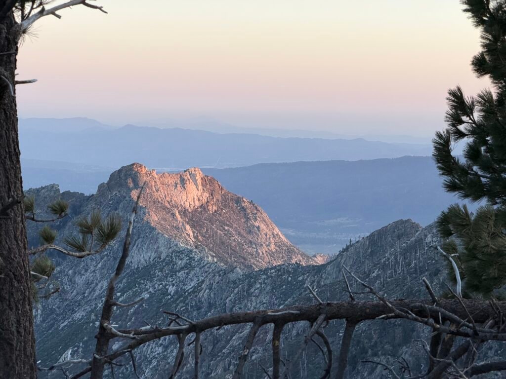
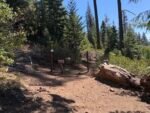
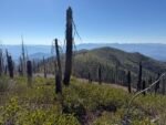
It’s hard to get the real picture of how rough this hike was by just seeing the pictures below.
Hopefully, the March heat wave in the area had melted out most of the snow and ice, but I’d be on the lookout for any dangerous iced over trail.
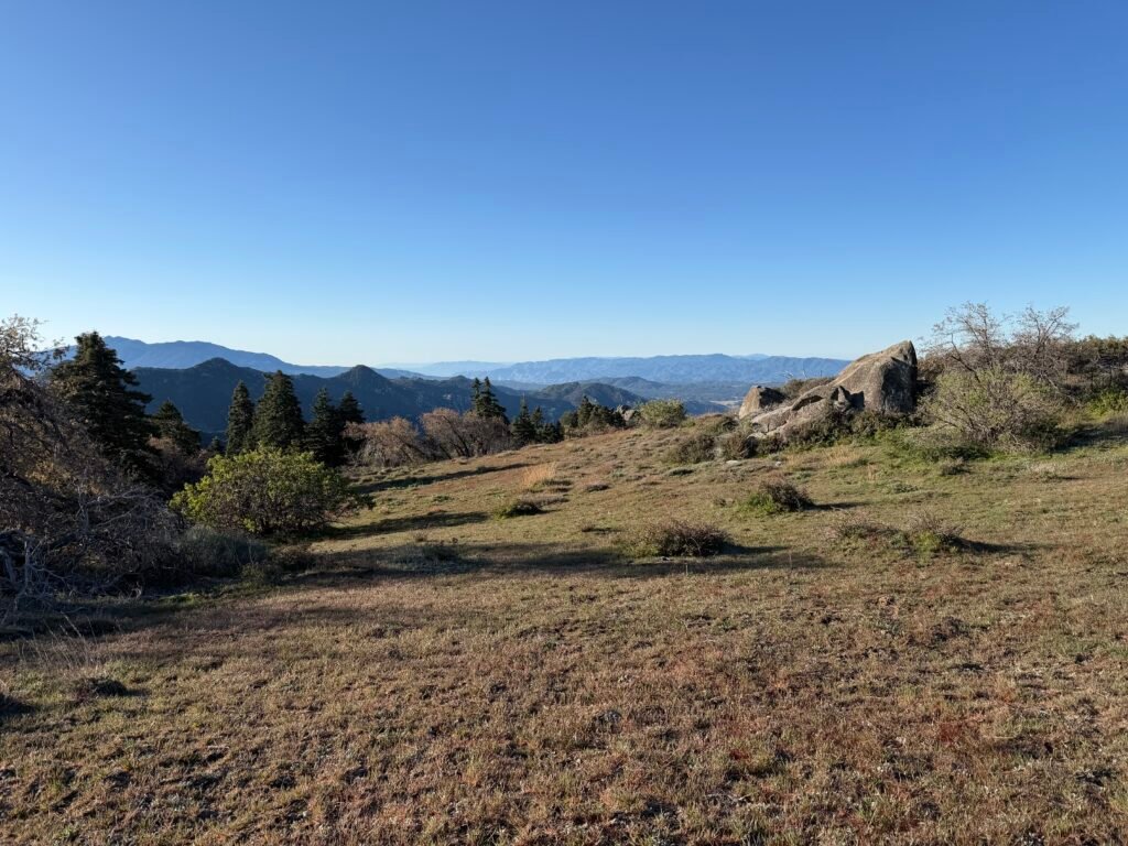

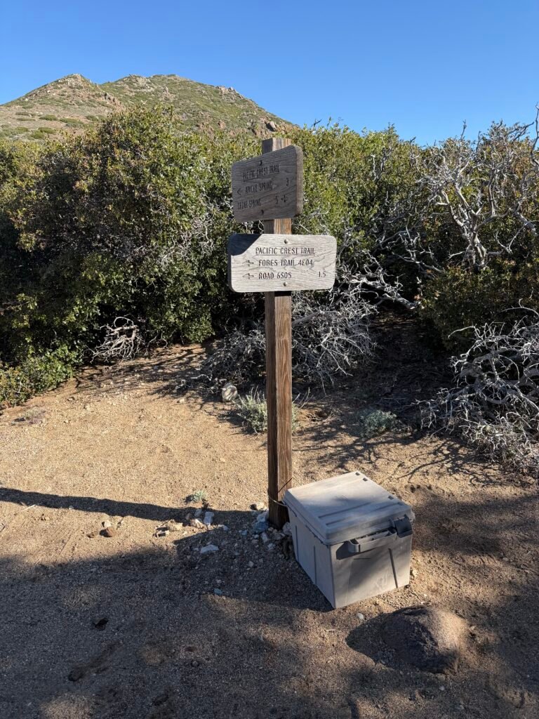
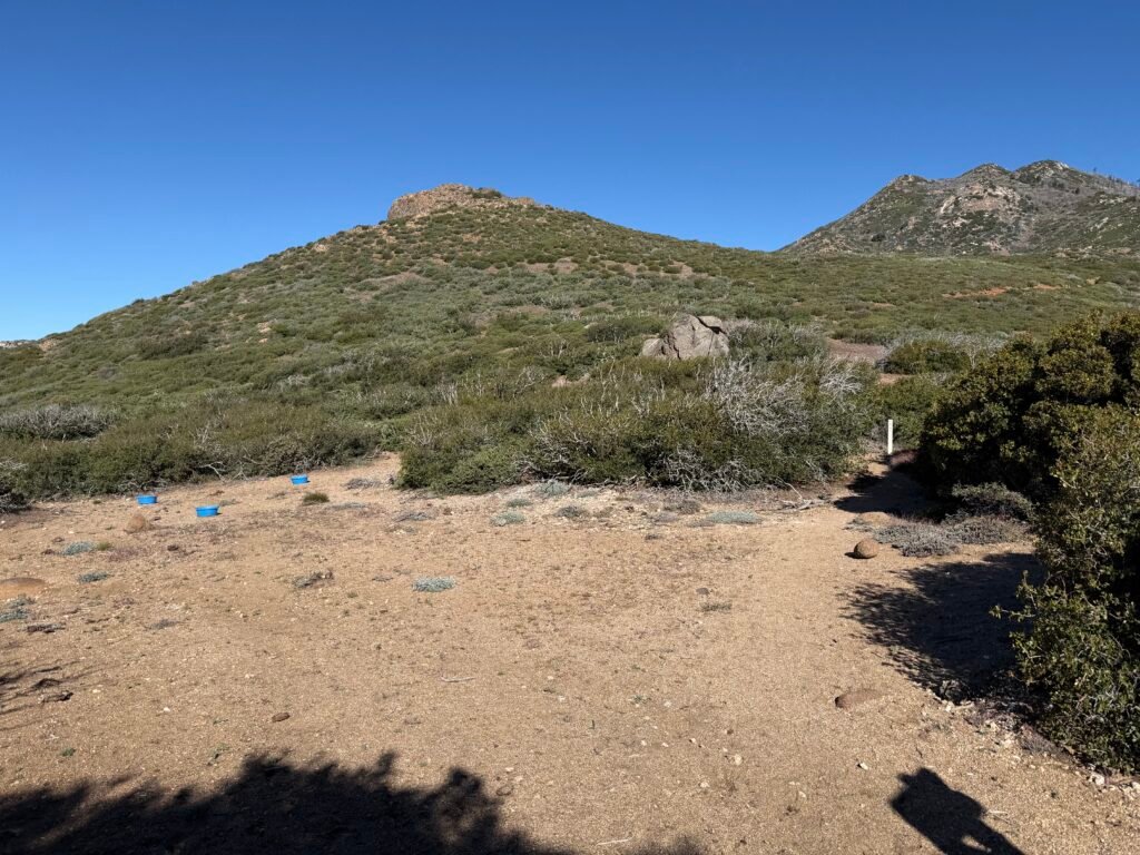
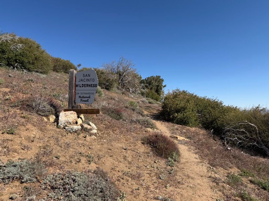
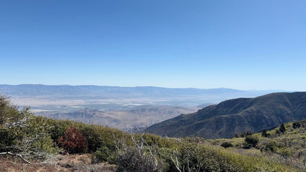
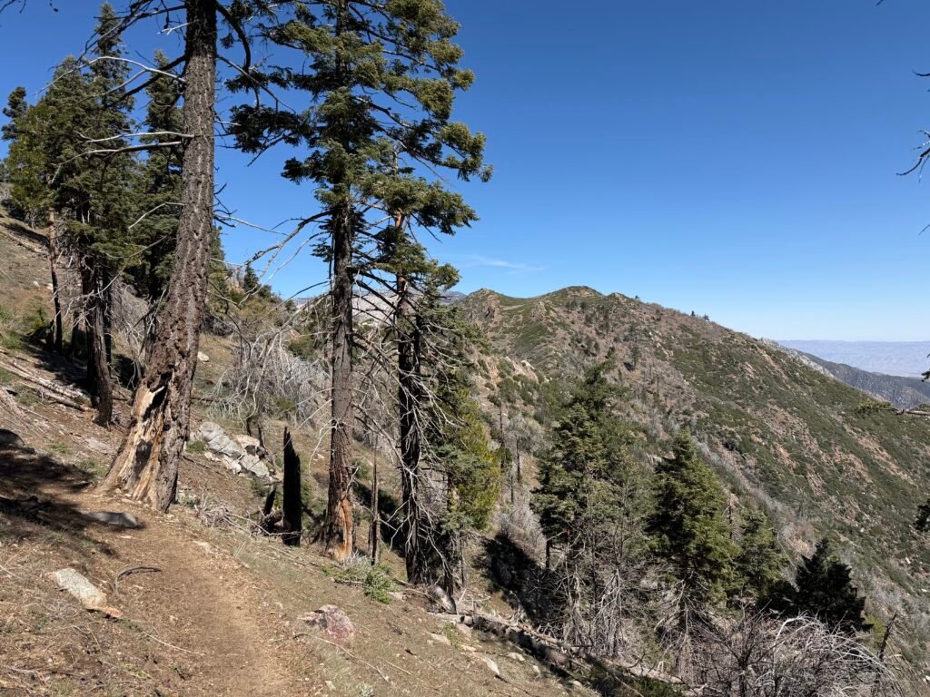
I reached a small patch of snow besides the trail, but it wasn’t anything to write here about (but I guess I just did).
Hopefully, there wouldn’t be any significant snow and ice further North on the trail. These ridges could get very dangerous to cross if there was.

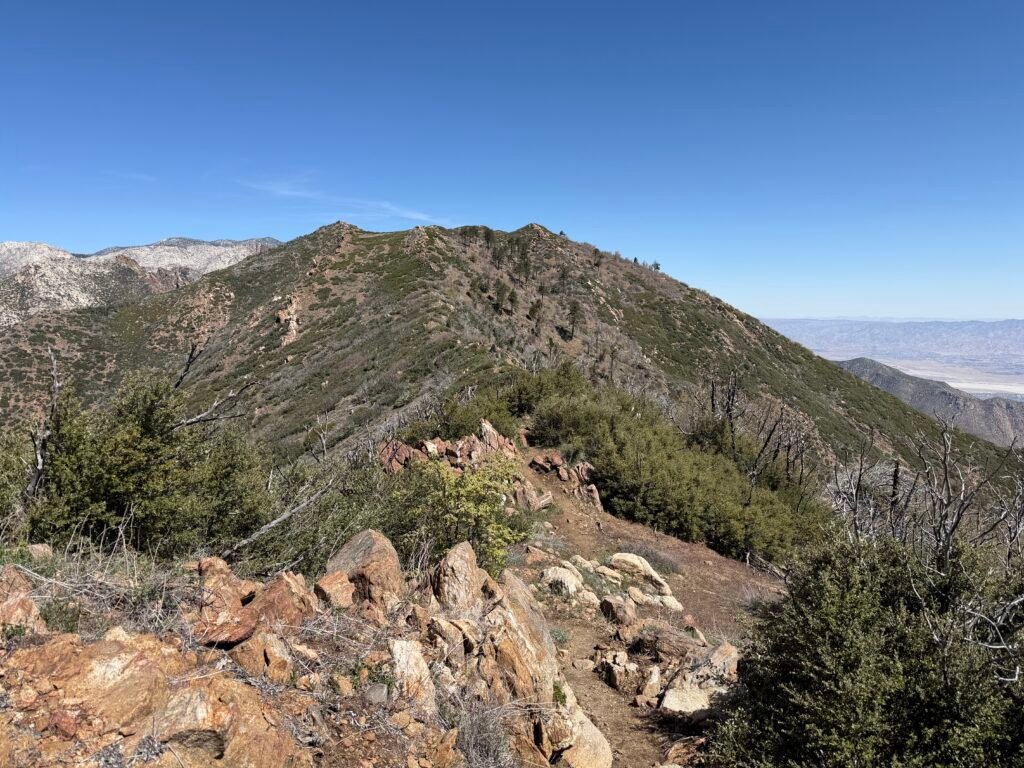
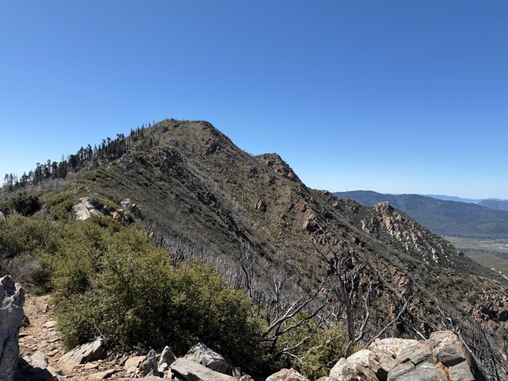
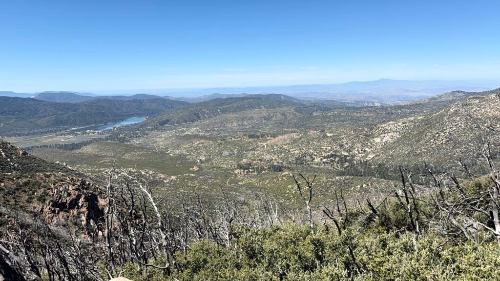
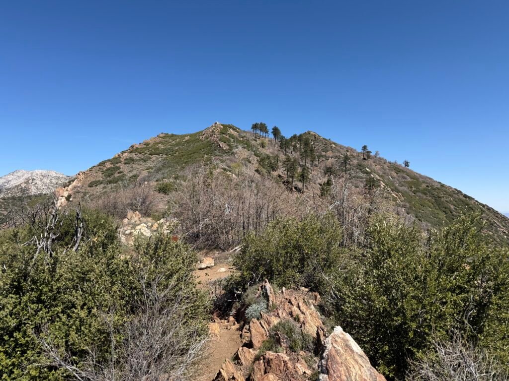

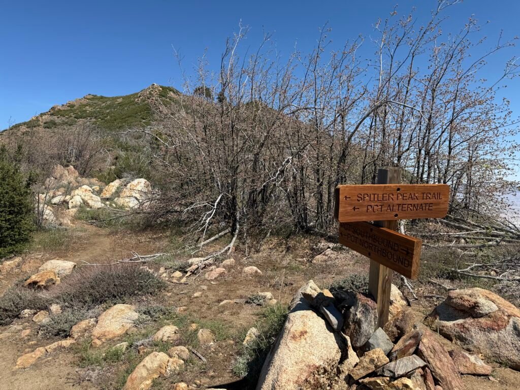
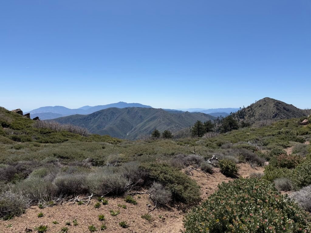
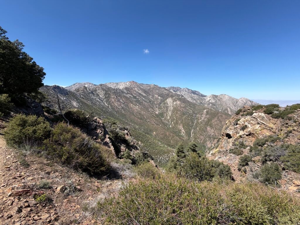
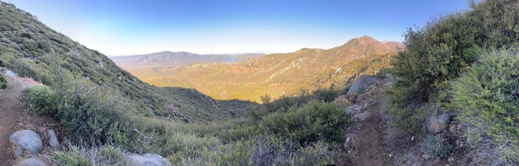
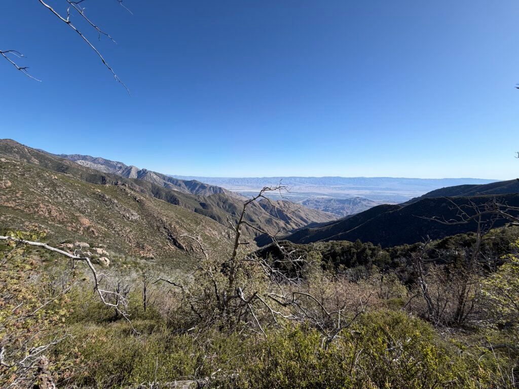
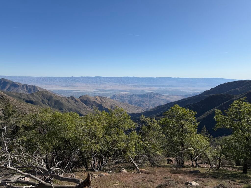
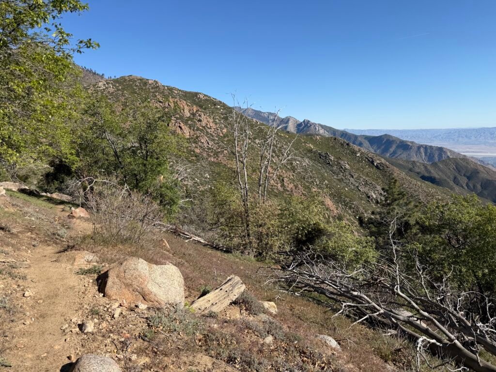
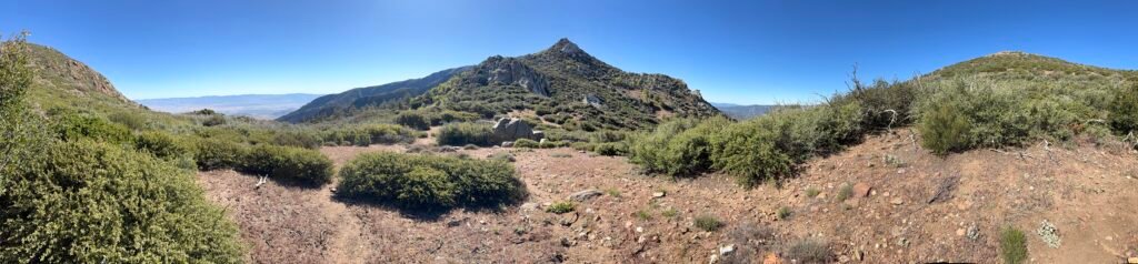
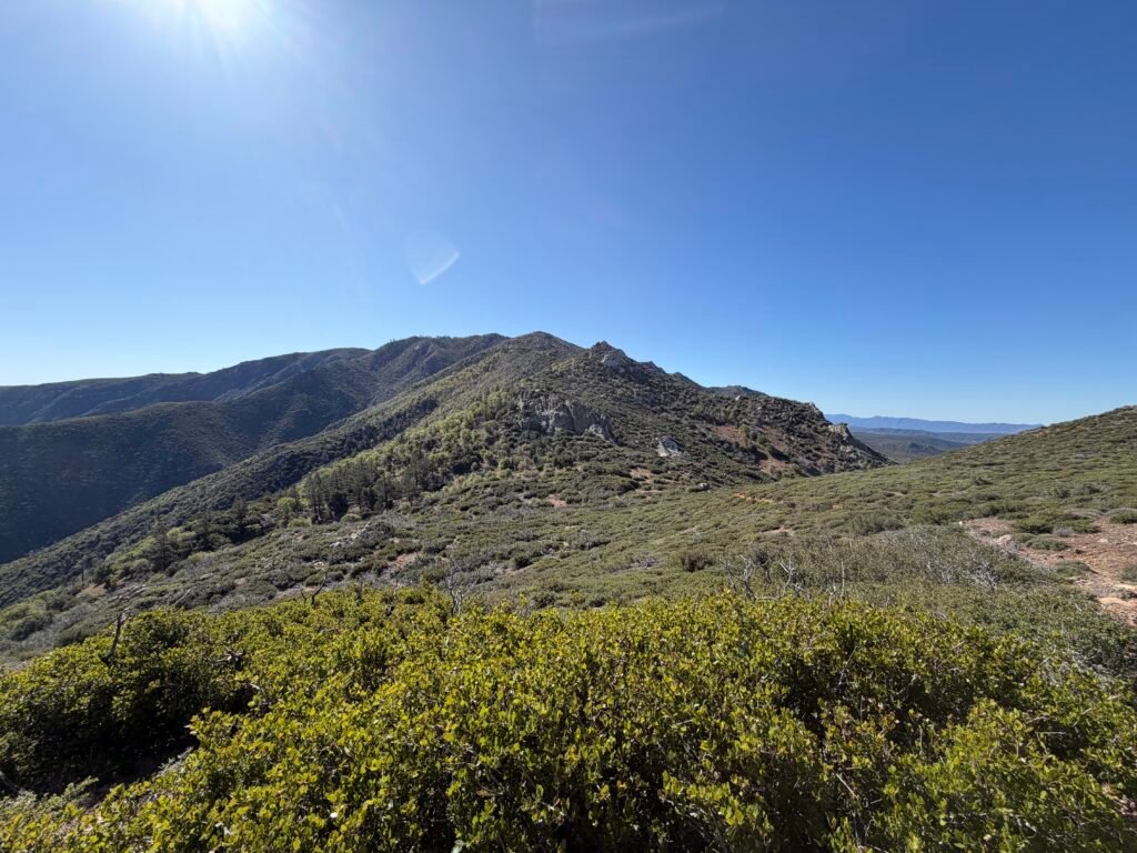
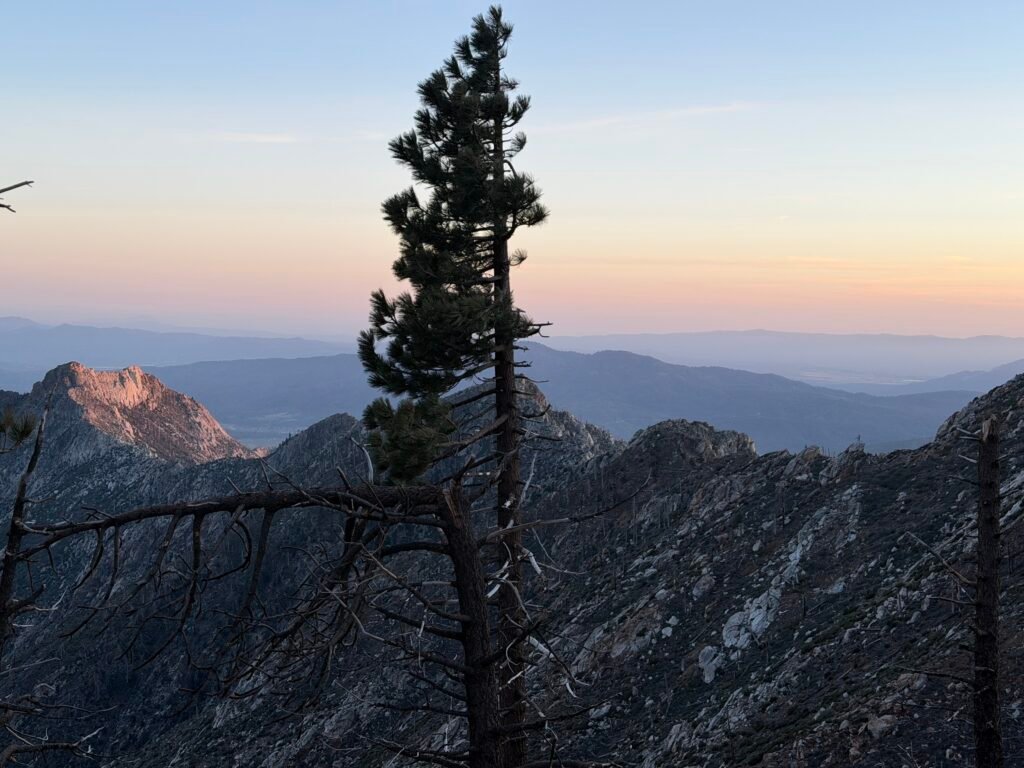
I got a good view of some of the ridge line I’d have to cross that day.
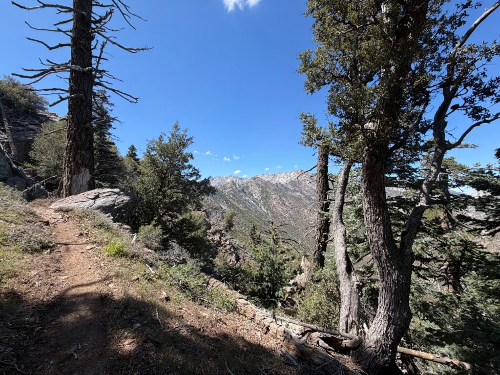
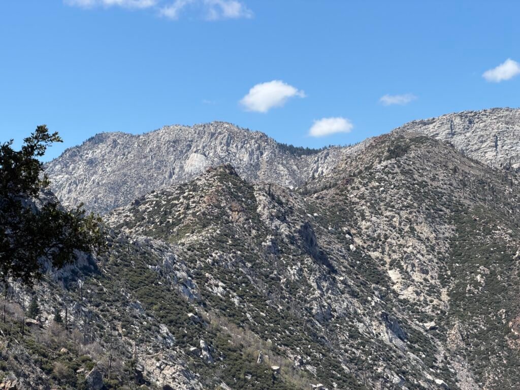
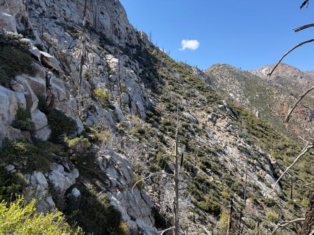
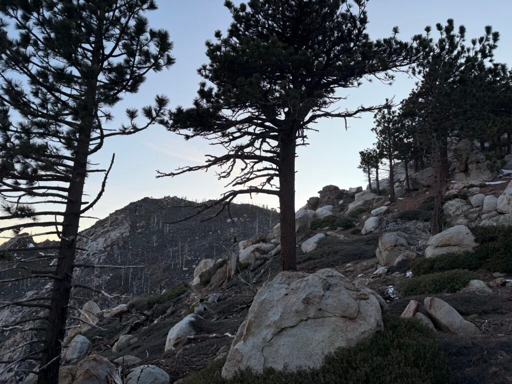
Below are just a small sample of the steep ‘trail’ that wound it’s way along these ridge lines. I was glad I hadn’t seen any sign of snow or ice on the actual trail at that point.
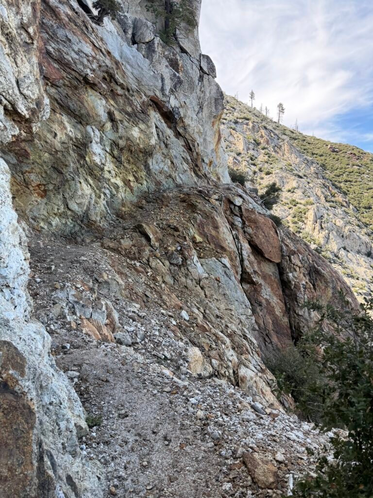
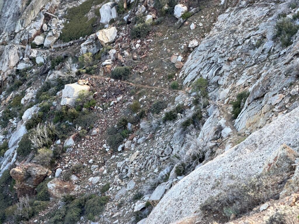
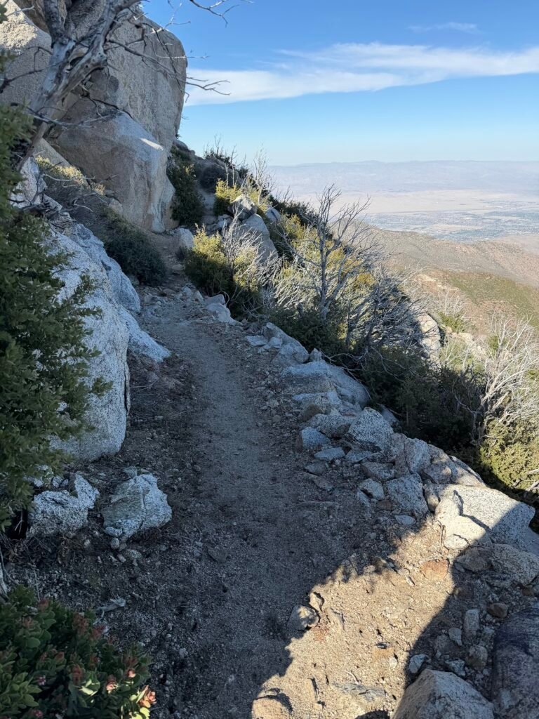
Apparently, small plane pilots liked to fly between the ridge peaks, as well.
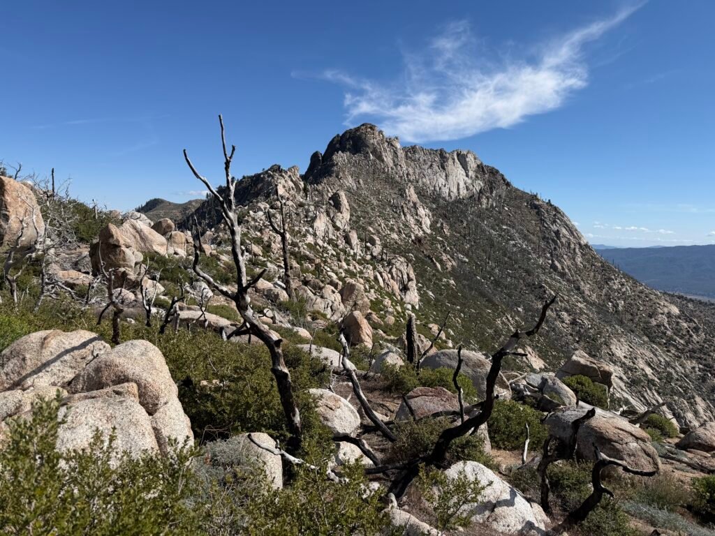


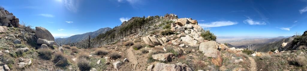
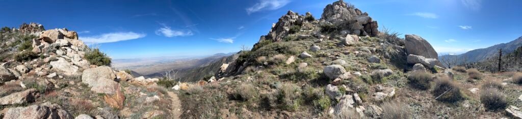
As evening approached, I started thinking about just finding any kind of campsite along the ridge. But the only places I found were very exposed to the wind and very small, so I forged on.
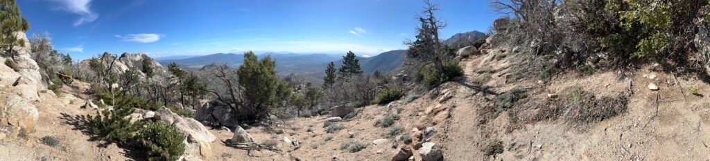
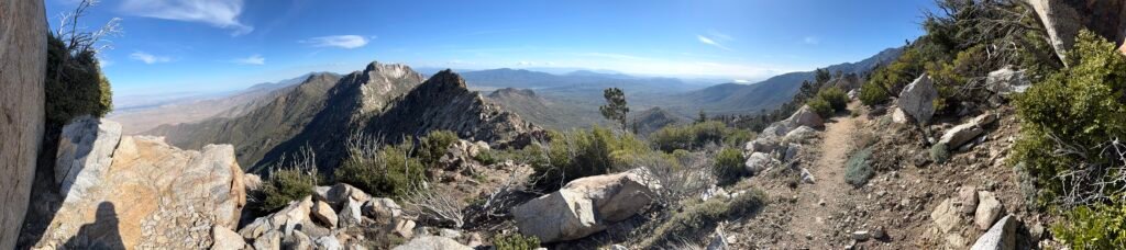

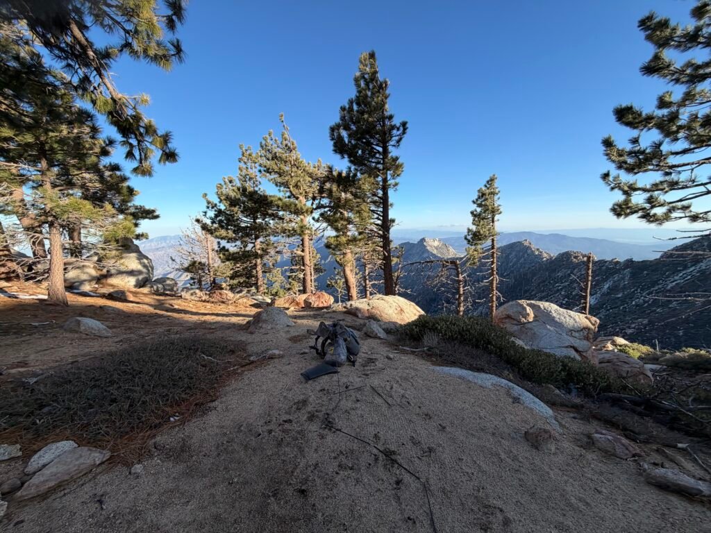
At last, a very popular camp area appeared before me! A few people were there already, but there was more than enough space for me.
Still a little windy, but a great view and I was glad to have finished most of the ridge lines before nighttime. I would have a little more ridge line to complete in the morning, but they’re always challenges on every part of the PCT.
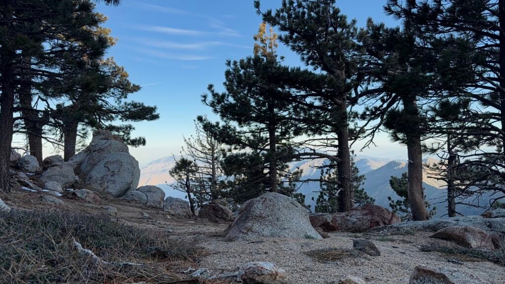

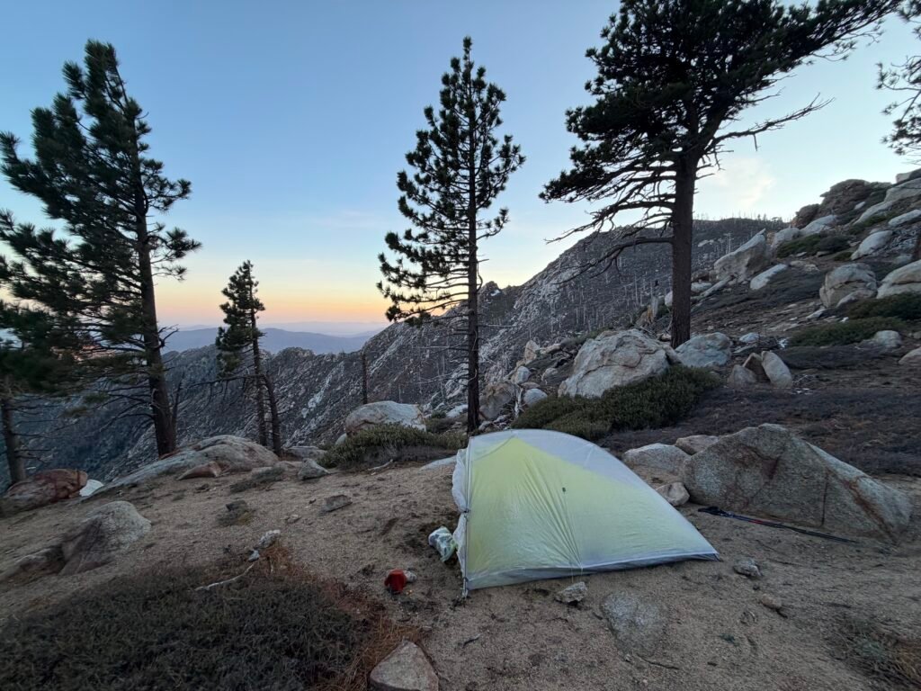
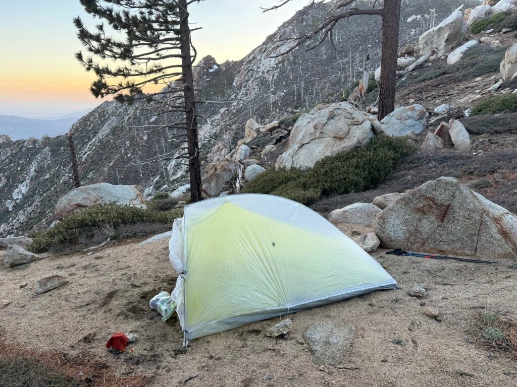
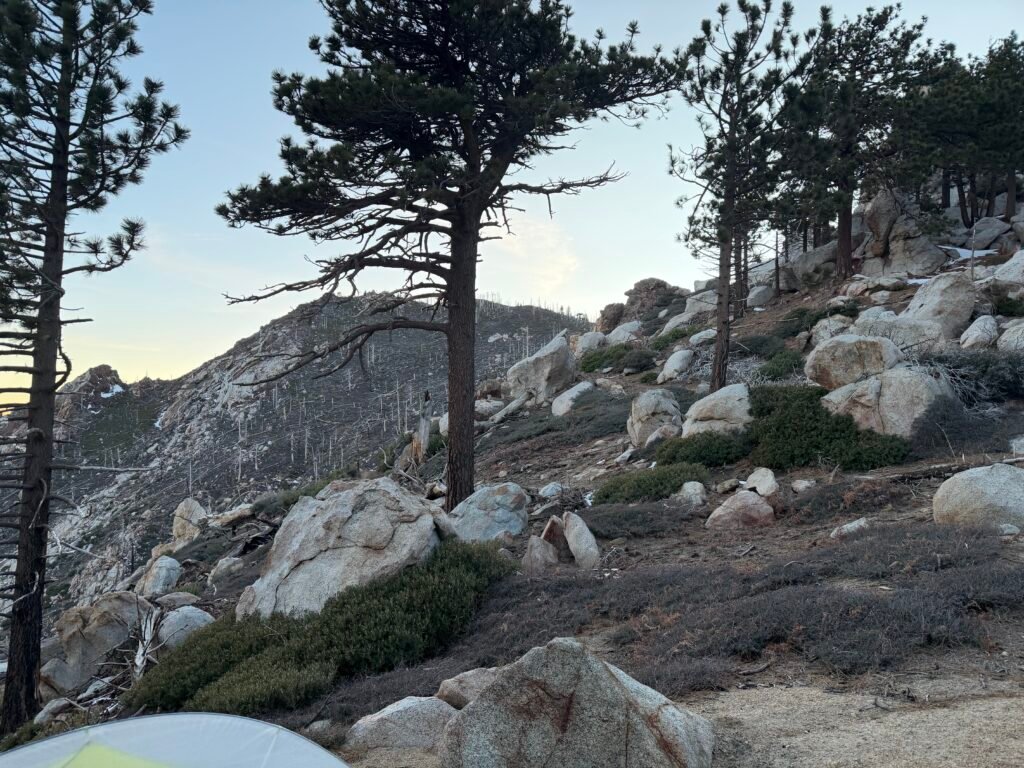

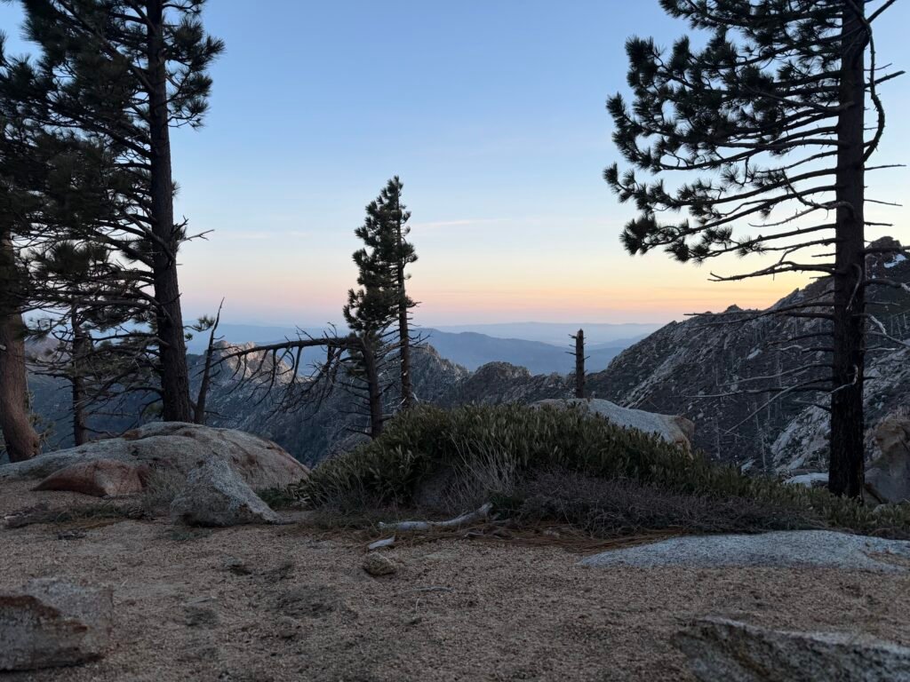
Mile 164.2 to 175 – 10.8 miles total hiked
PCT 2026 Day 16 Photos and Movies

Flickr collection of all PCT 2026 Photos and Movies, Organized by Trail Day: https://www.flickr.com/photos/wanderingjim/collections/72157727360883240




Comments by WanderingJim
PCT Mile 1528 and then…
"Yes, got home safe, but got trail sick and wanted to get..."
PCT DAY 85 – CA Section H
"No cell service in many parts of the PCT. Not dead yet."
PCT or BUST!
"Yes, I’ll be going through there by early August"
JMT 2020 Day 3
"I'm afraid I have no idea. Not really a fisherman, so don't..."
JMT 2020 Trek Day by Day
"Yeah, but with 9,000 pictures, it's hard to label each one..."