
Thursday, May 7th, 2026
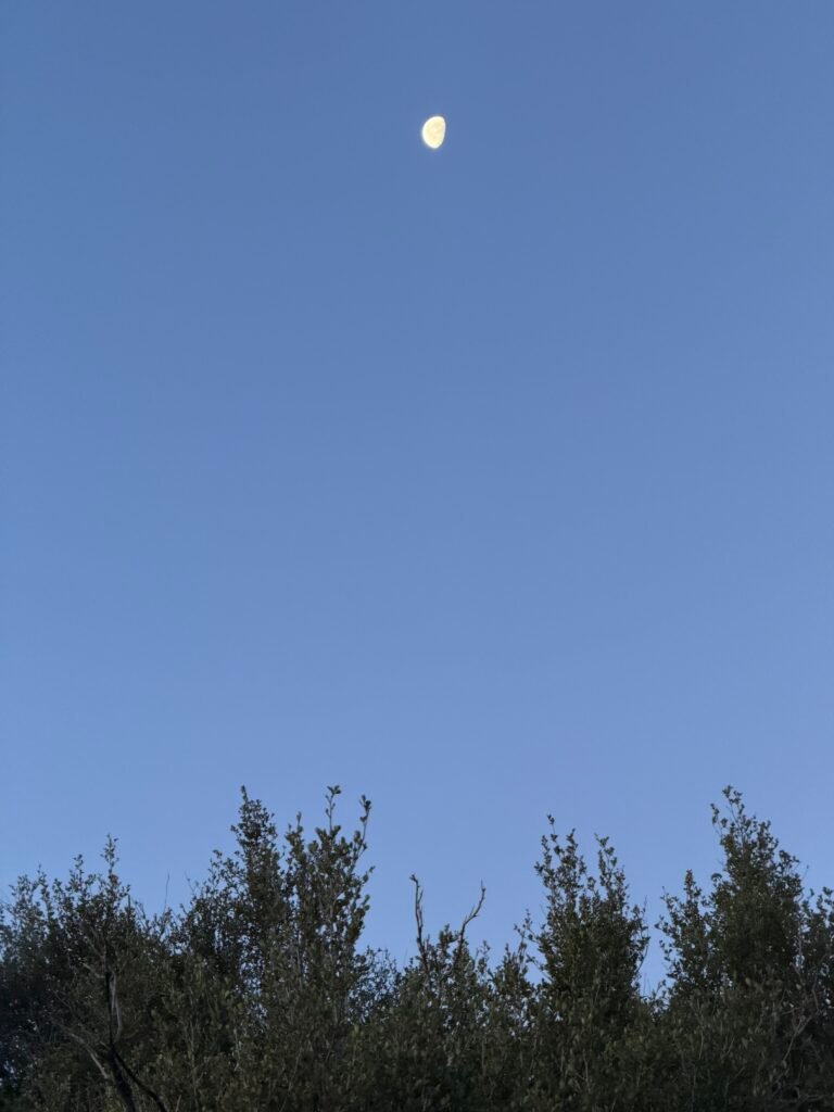
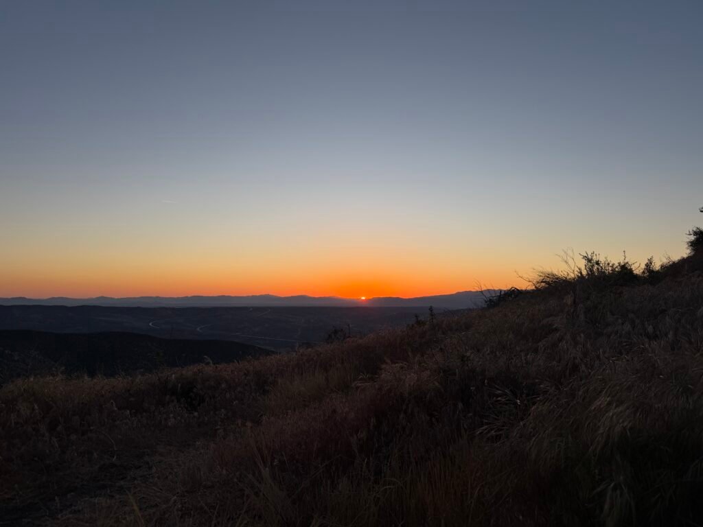
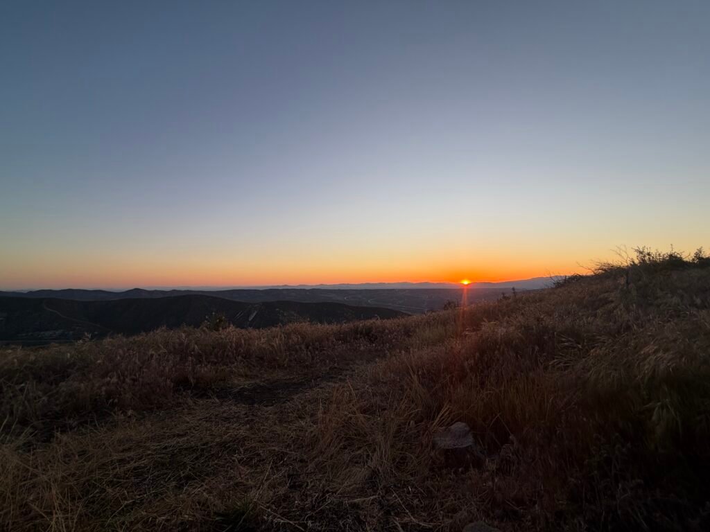
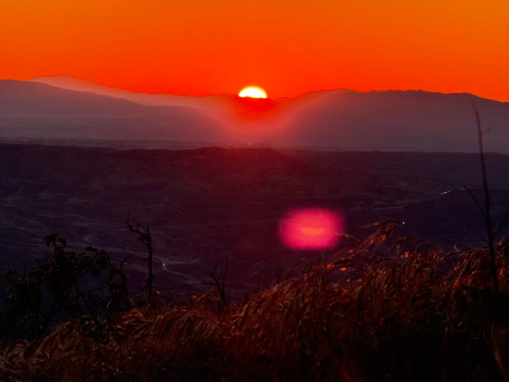
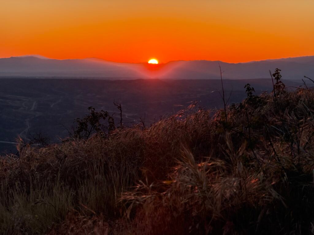
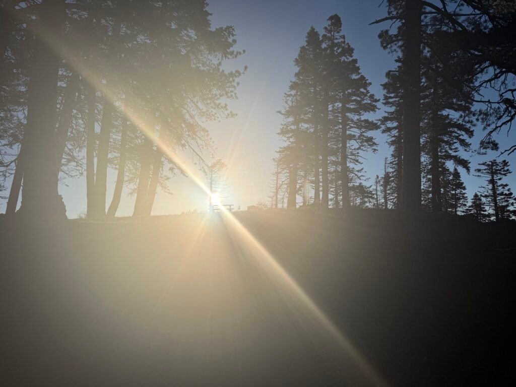
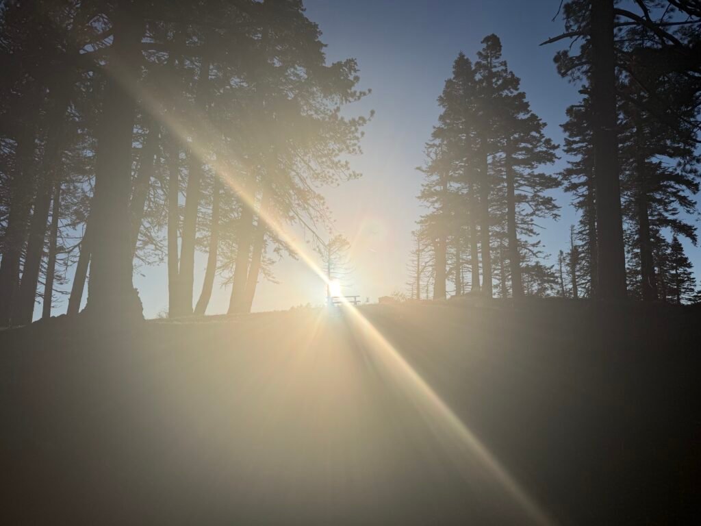
My campsite gave me a great view of the Sunrise.
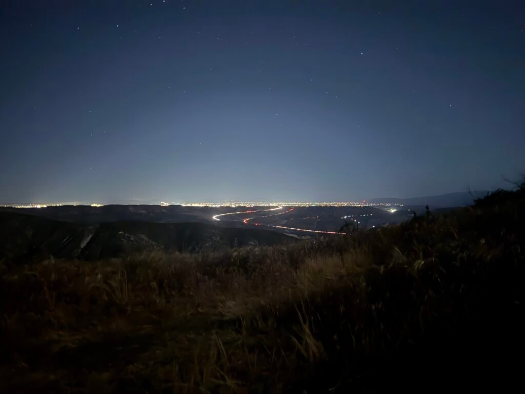
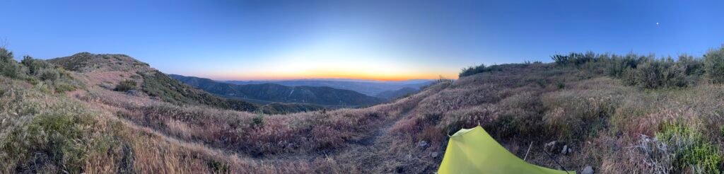
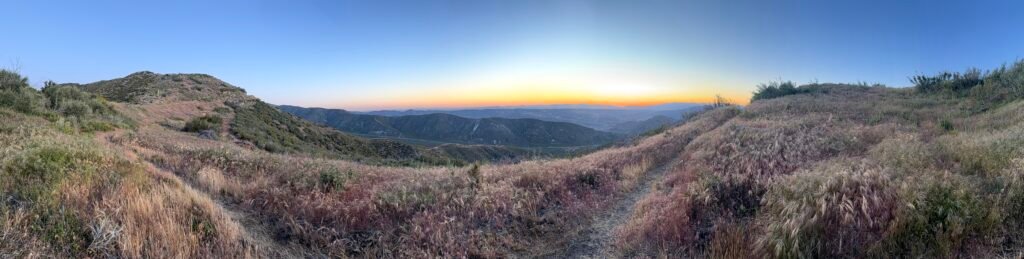
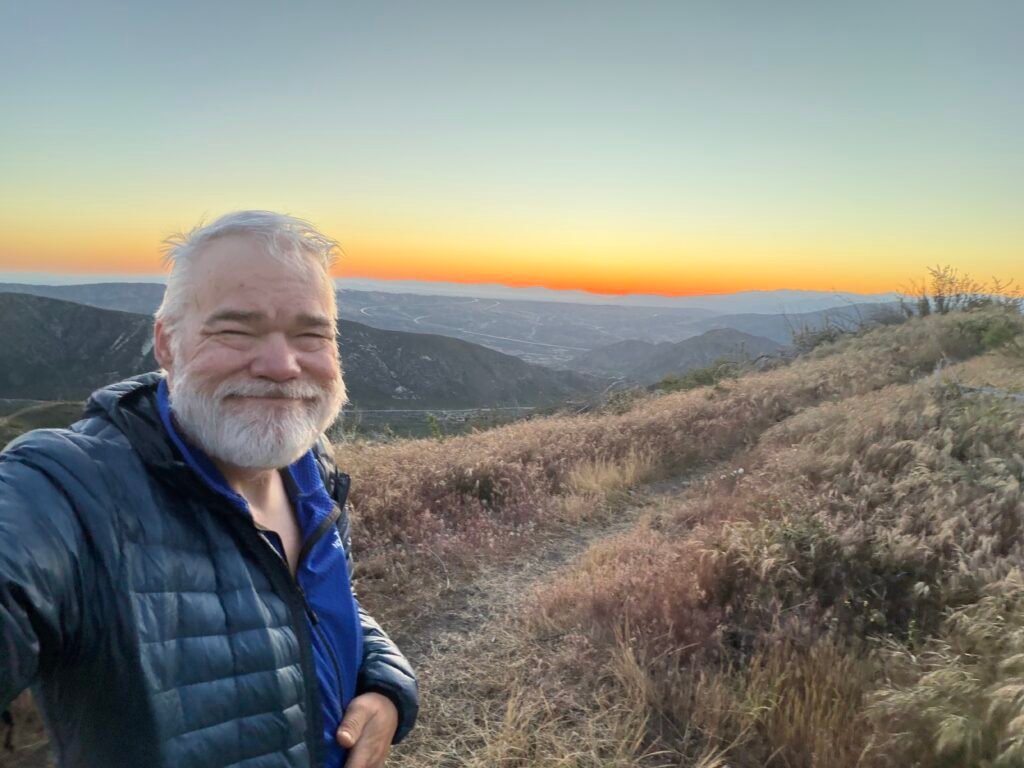
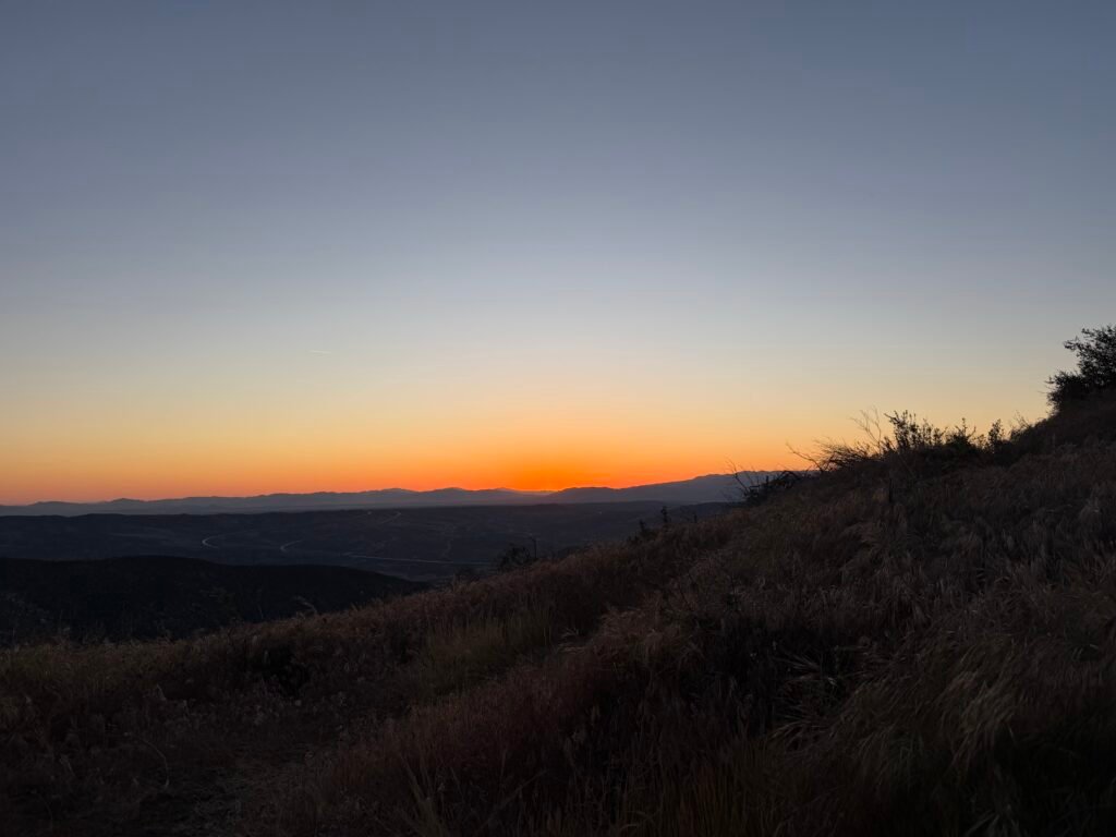
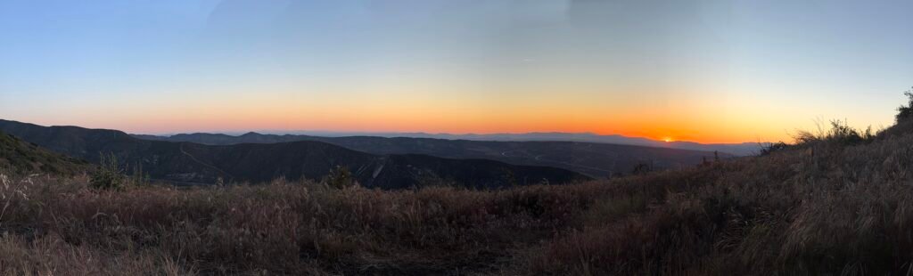
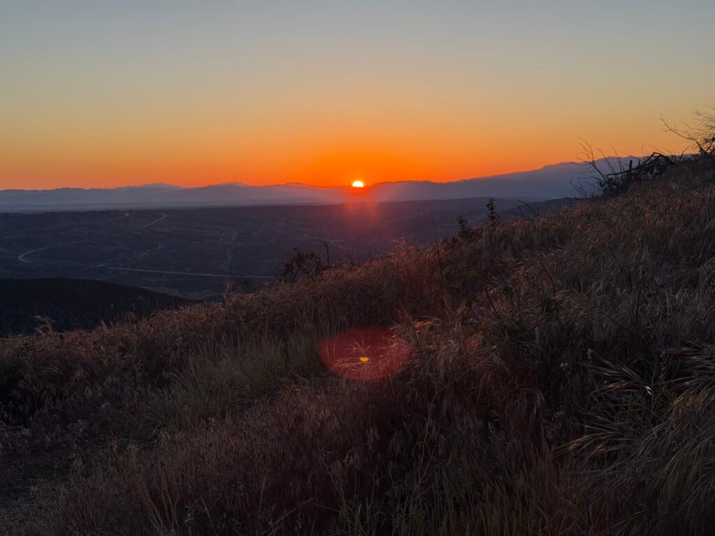
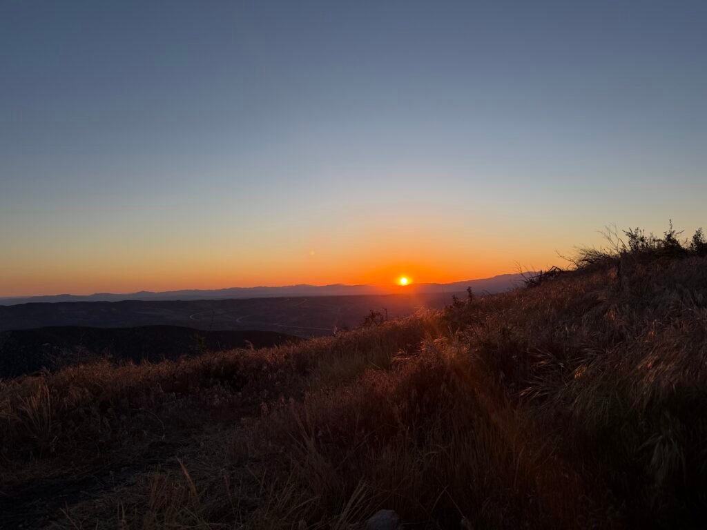
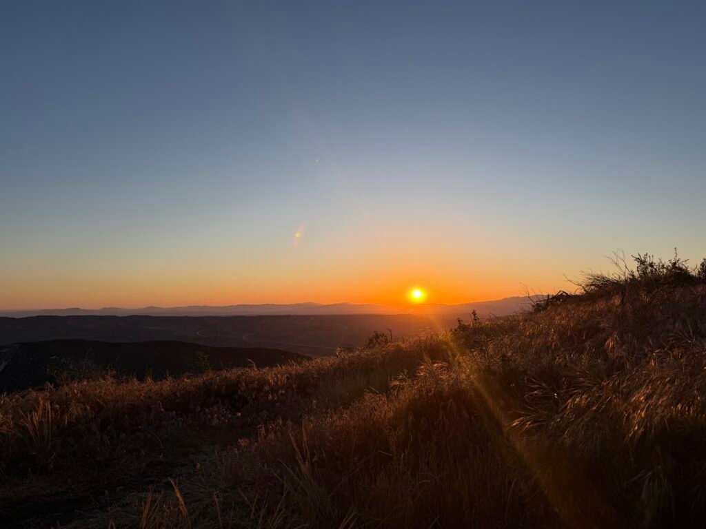
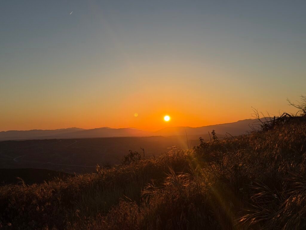
This day would be mostly uphill, but didn’t look too bad in the altitude profile in the FarOut app. No real steep sections.
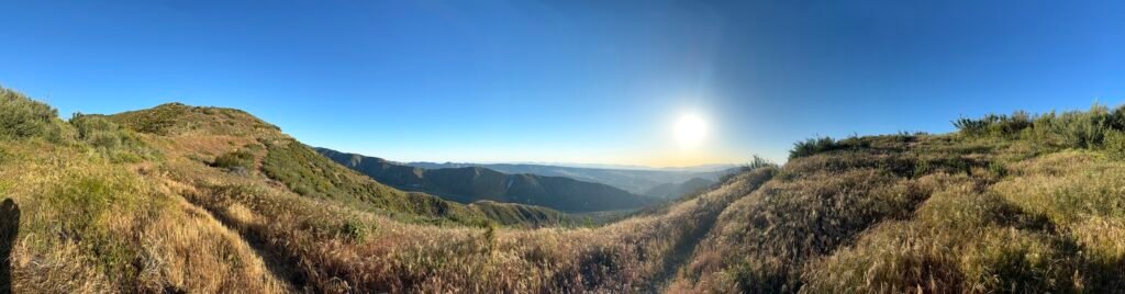
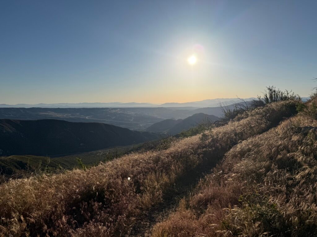
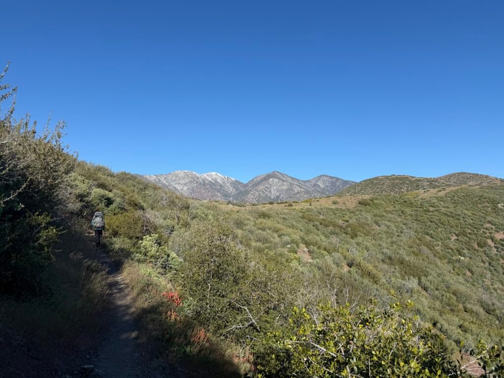
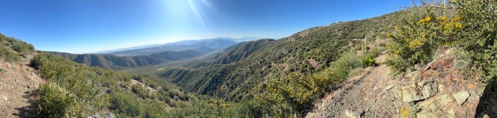
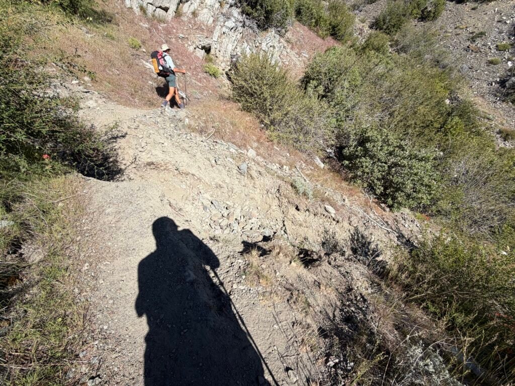
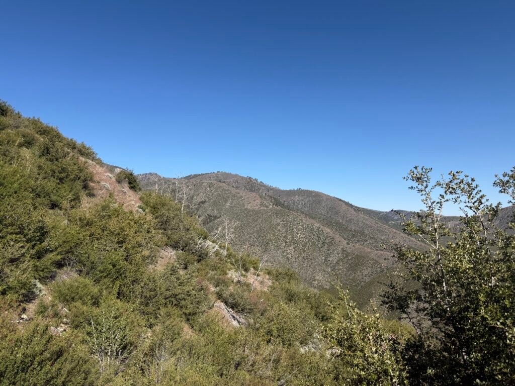
Still no Poodle Dog Bush.
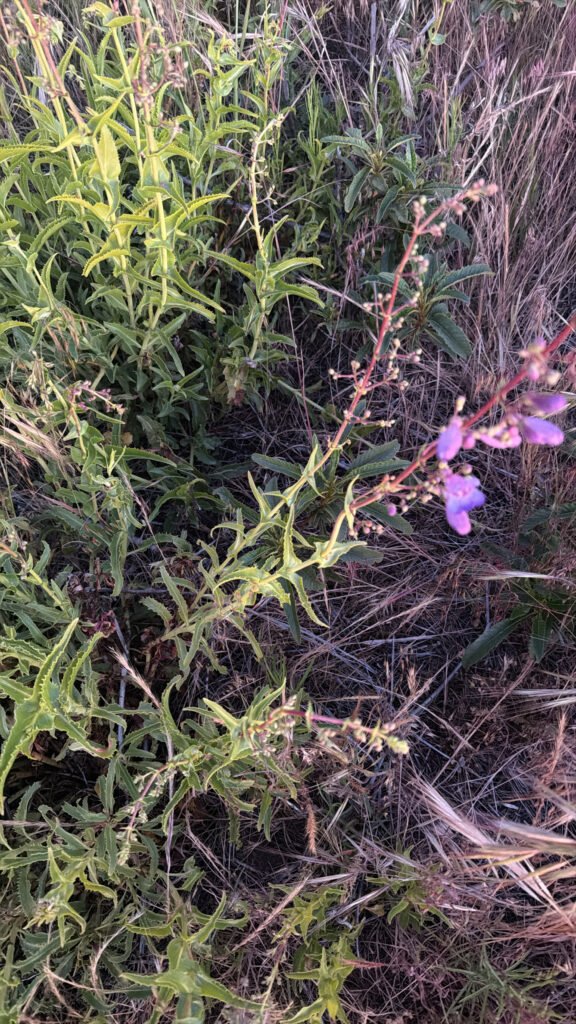
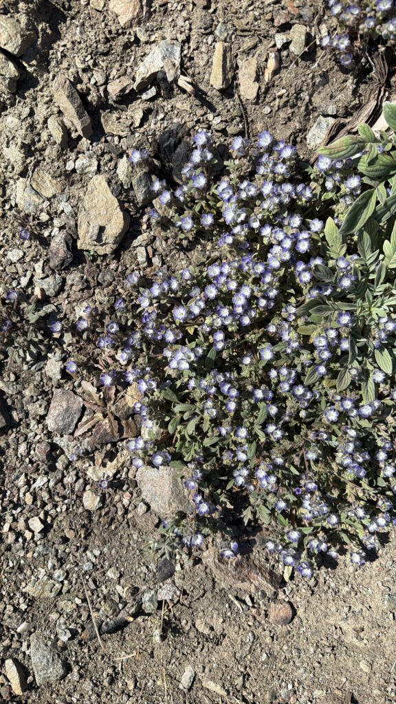
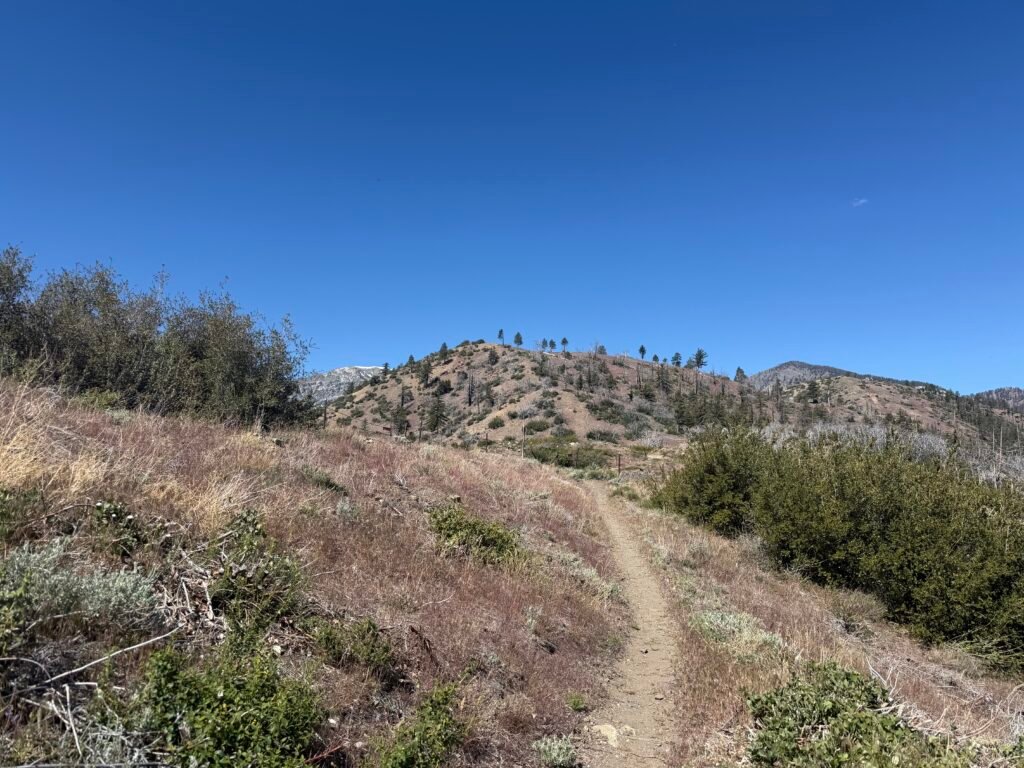
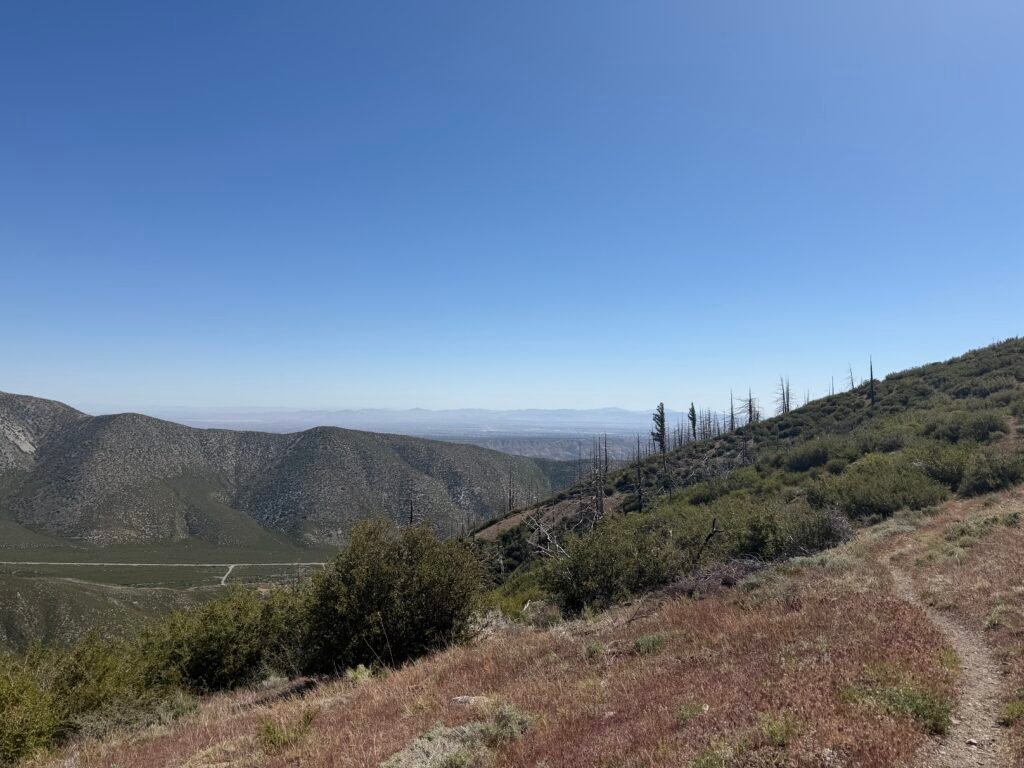
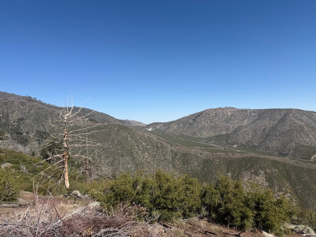
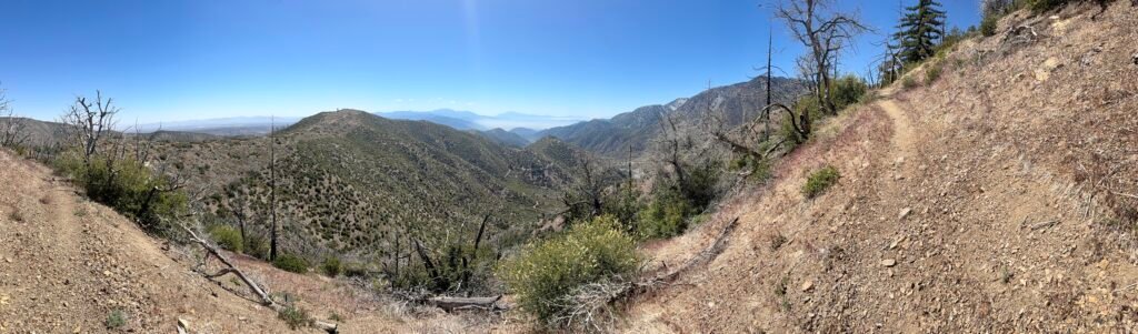
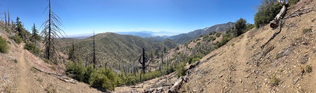
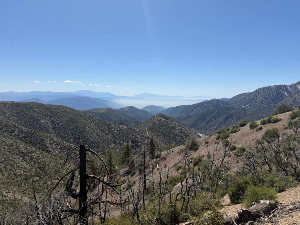
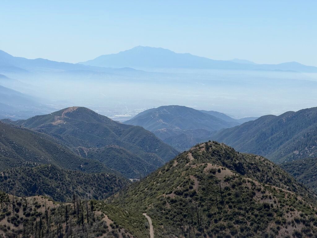
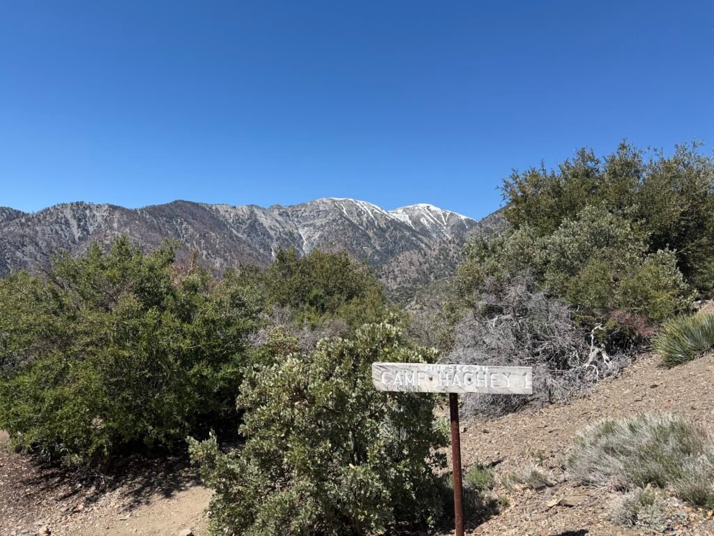
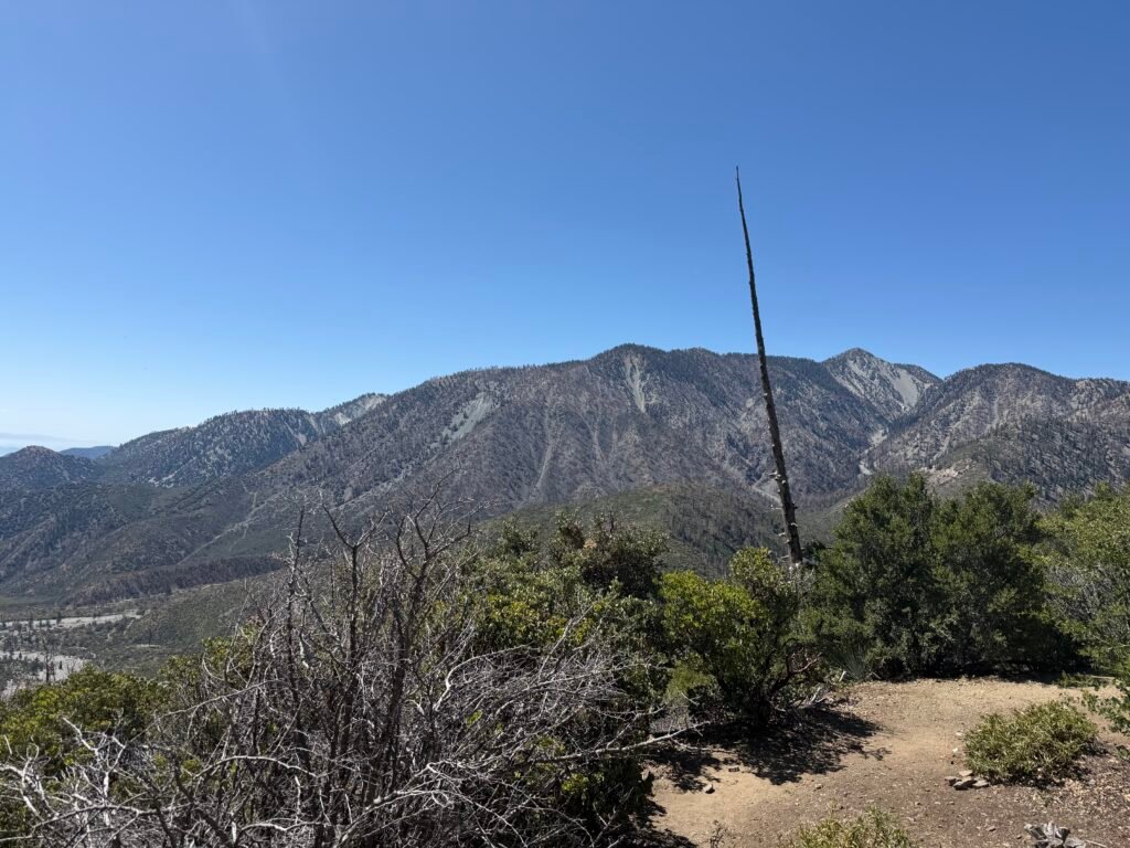
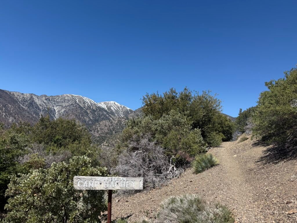
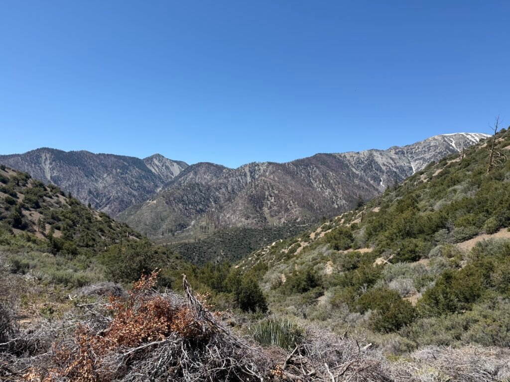
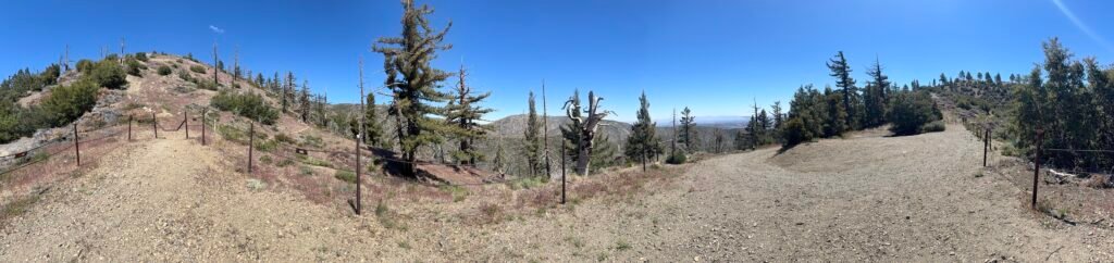
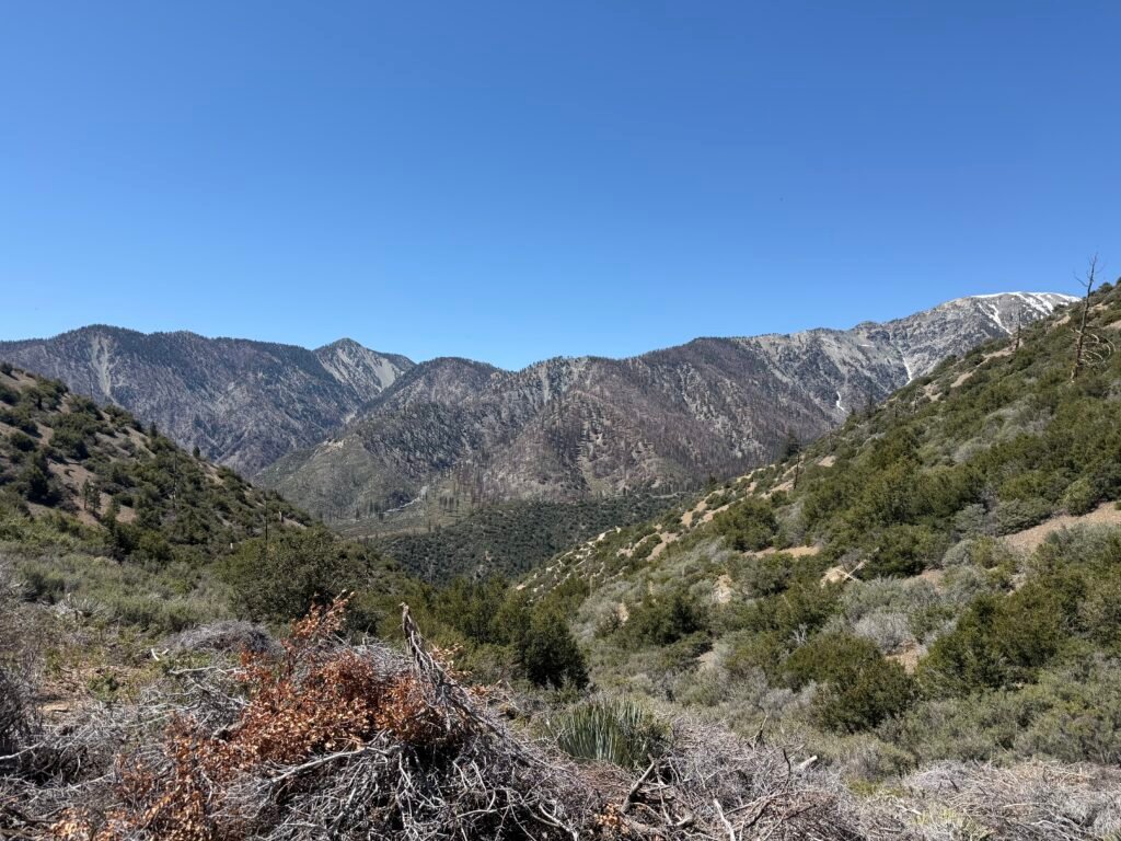
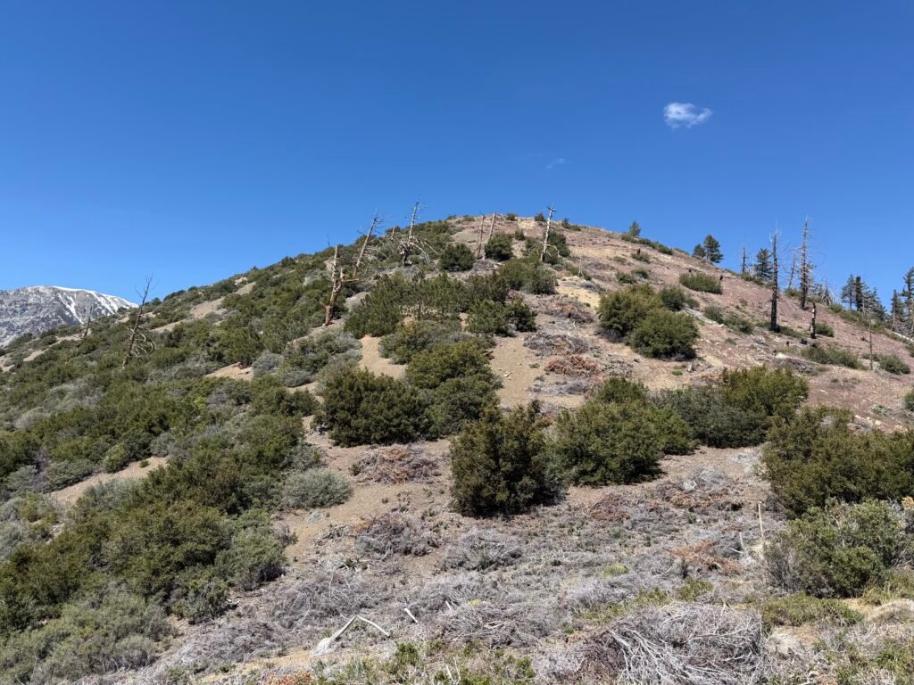
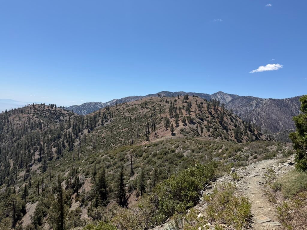
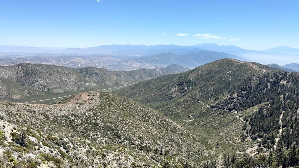
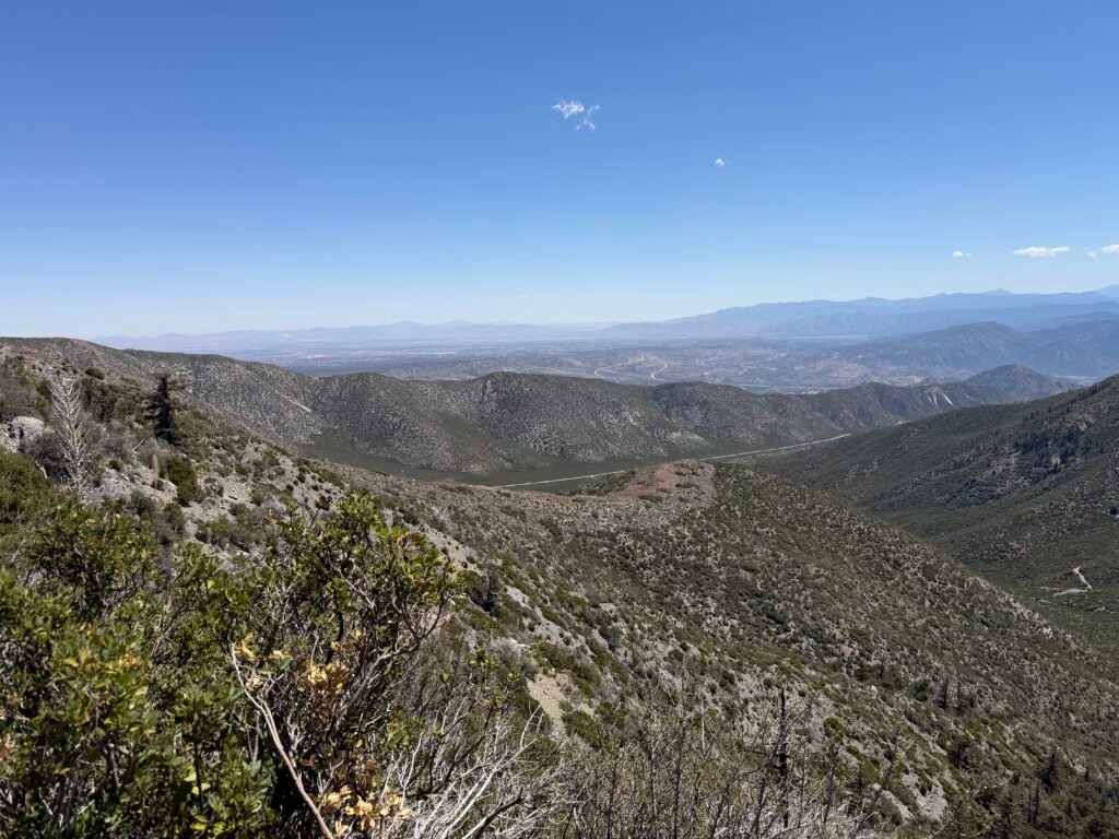
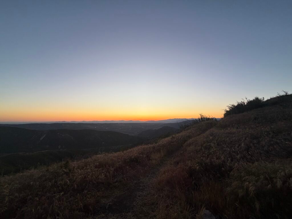
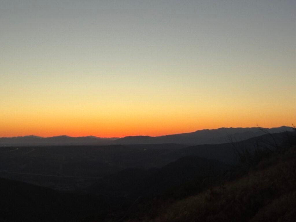
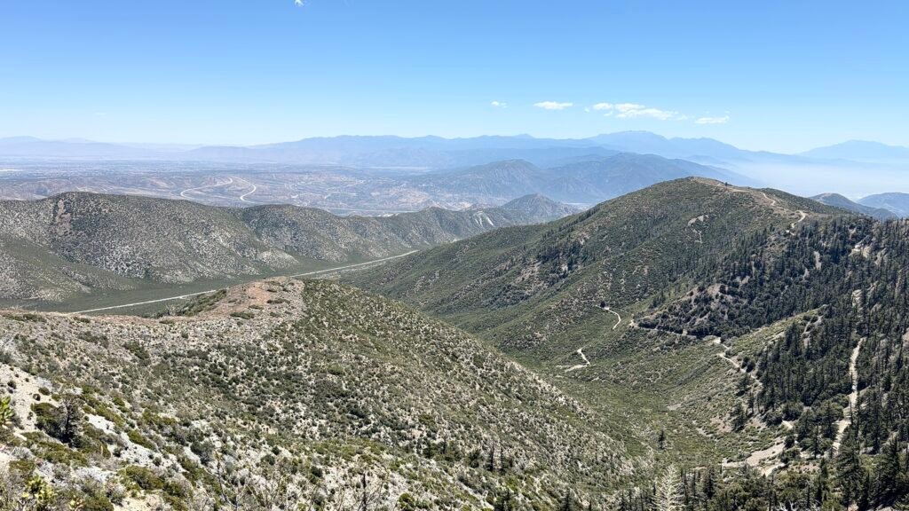
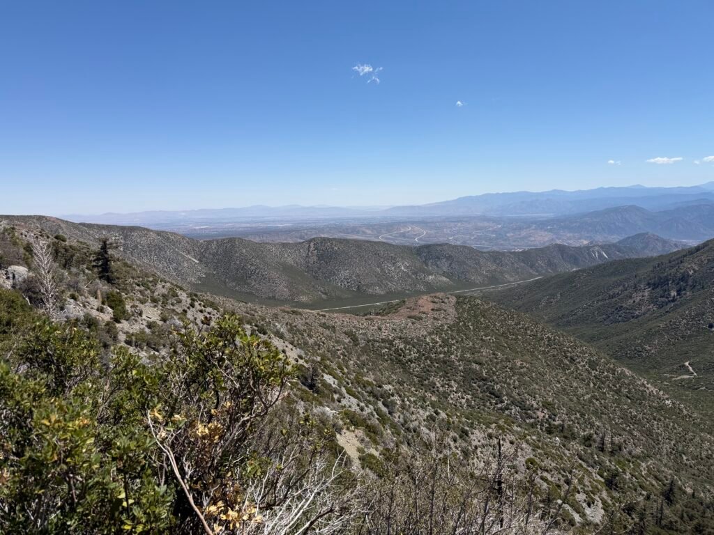
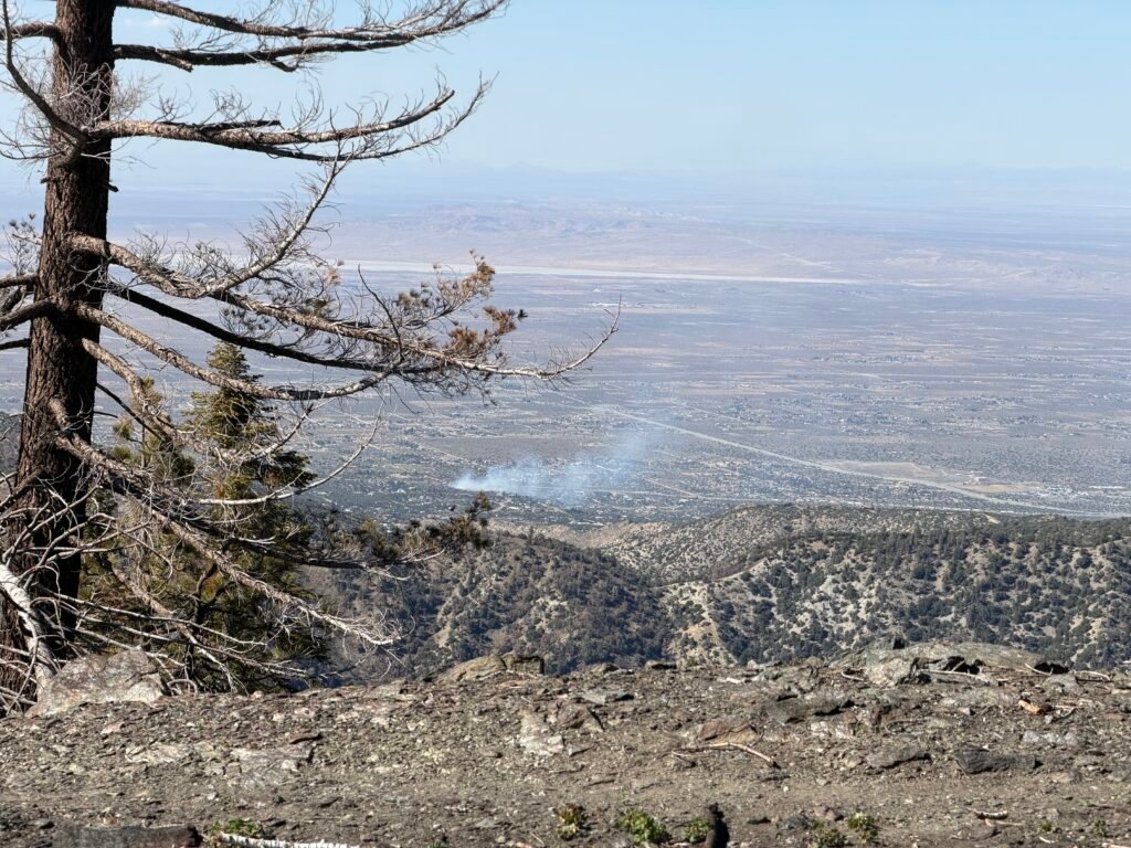
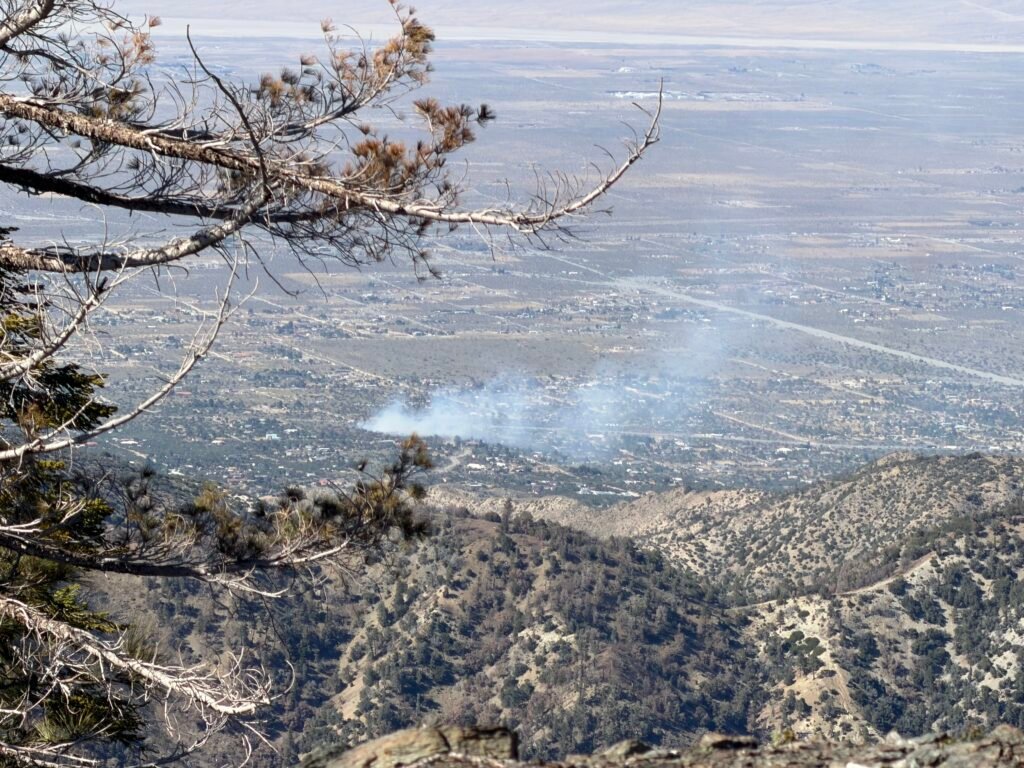
Looking back to see how far and high I’ve come since leaving Cajon Pass.
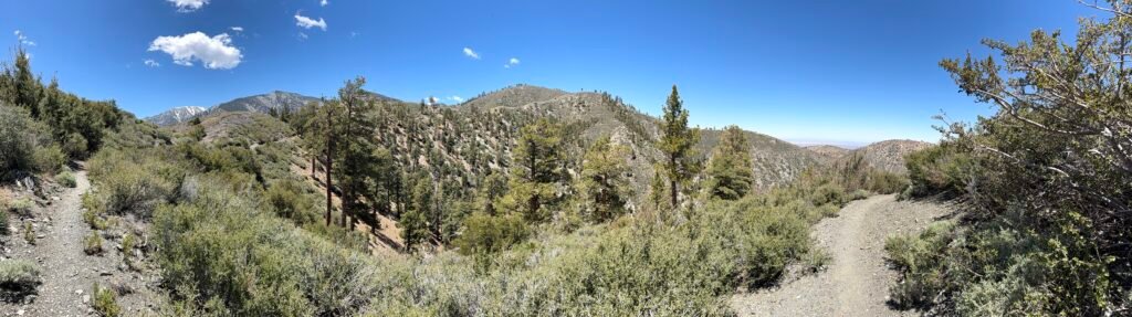
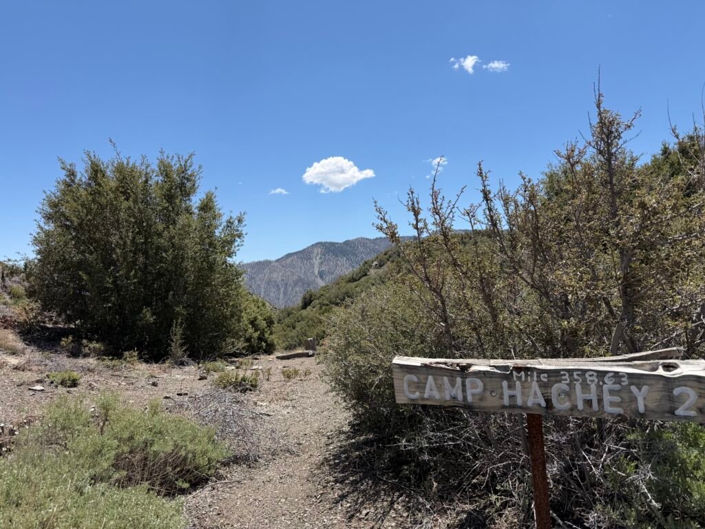
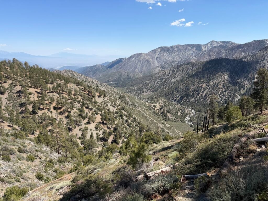
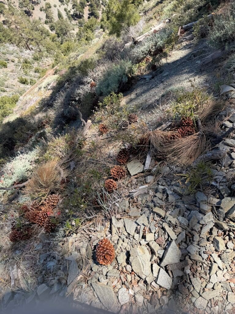
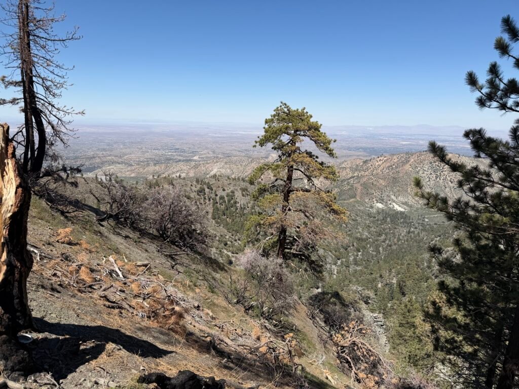
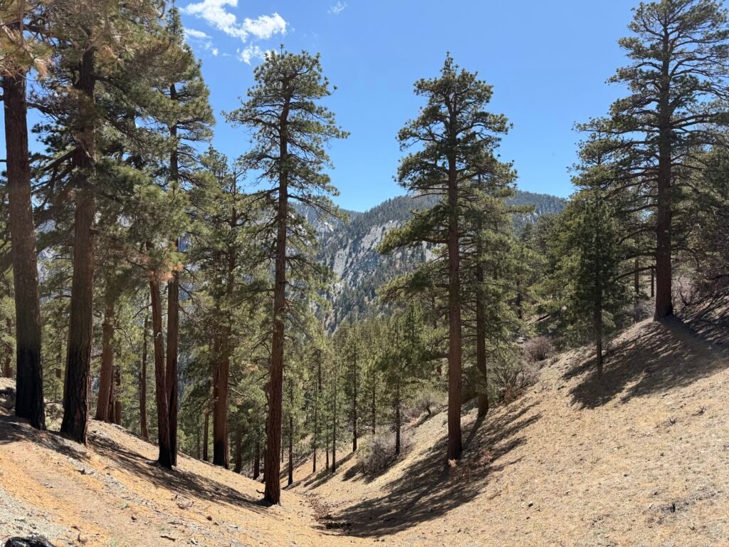
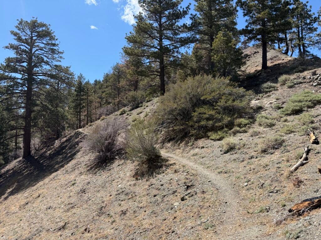
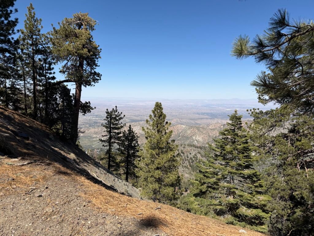
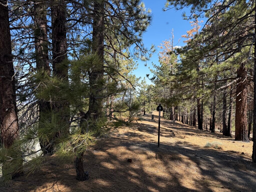
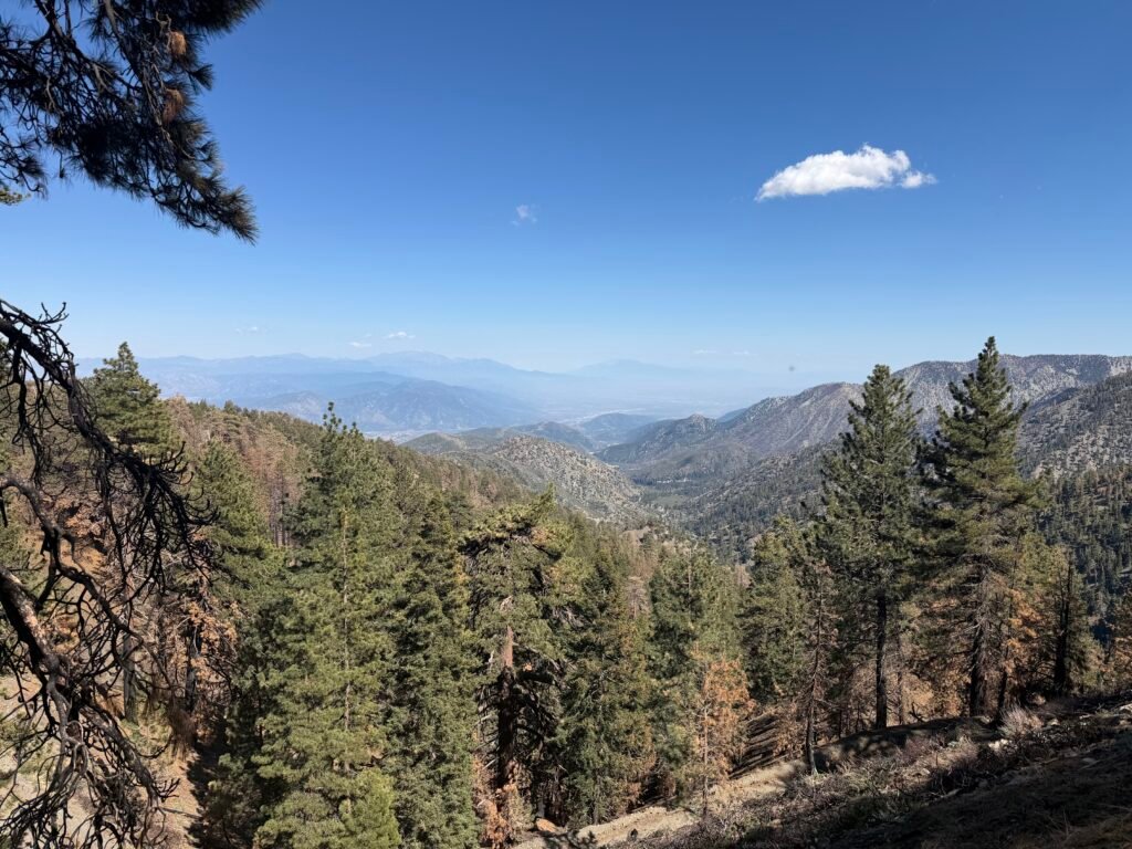
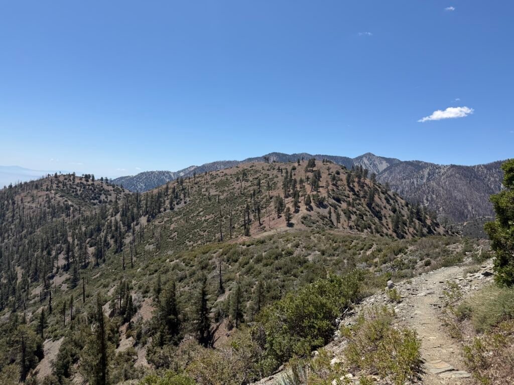
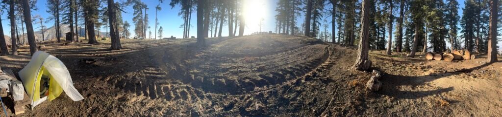
Sadly, as I got closer to Wrightwood I could see the burn scare from some recent fires. Fortunately, most of the trail was still visible.
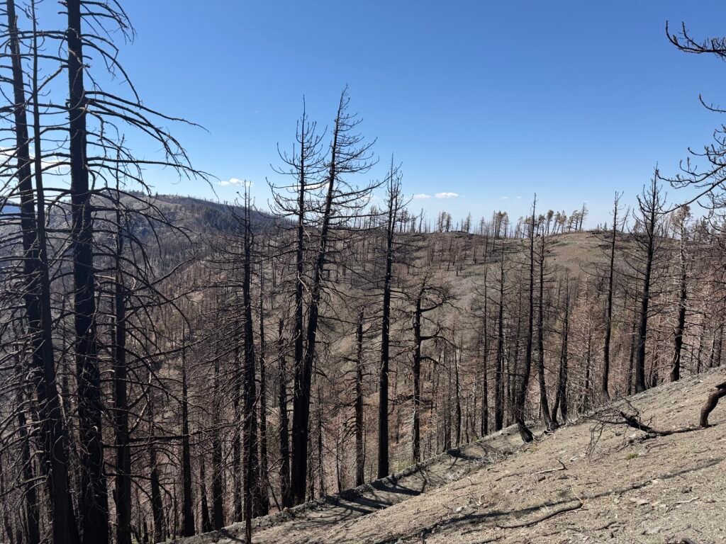
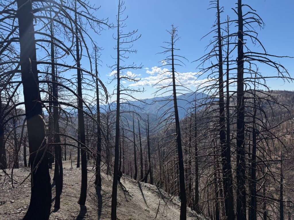
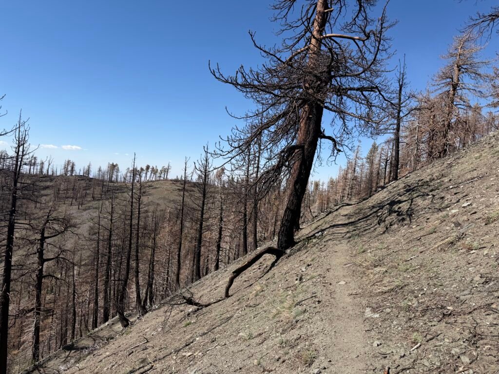
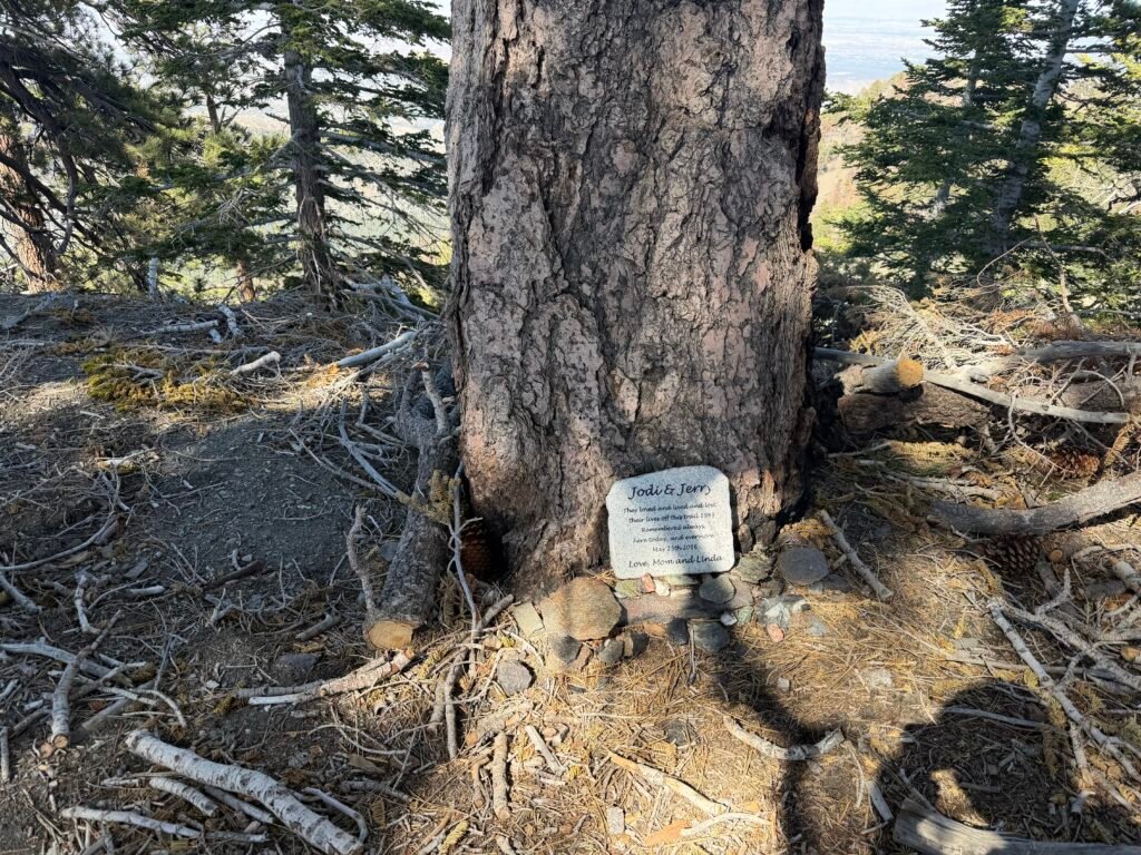
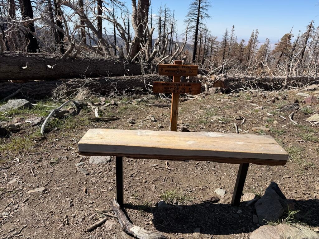
There were a couple hills sticking up from some 4×4 that ran alongside the PCT (which went over the hills.
Problem was, there were a lot of burnt tree that had been cut down and were laying all over the trail. For the first hill, I managed to follow most of the trail with only walking around the logs a couple times.
The second hill wasn’t as forgiving. I tried sever routes, one that almost had me taking the Acorn Trail down to Wrightwood (it’s not an easy trail, so I was planning on getting a hitch at Highway 2 where it crosses the PCT.
In the end, I had to give up on that hill and walk around using the dirt road.
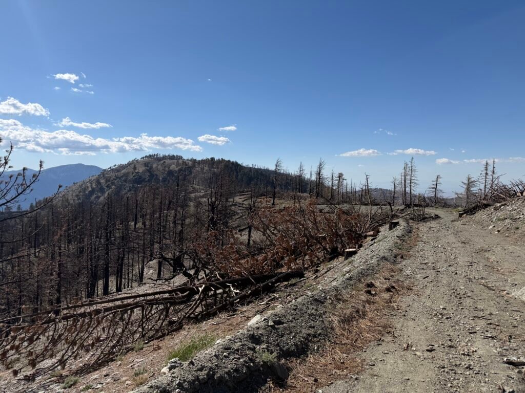
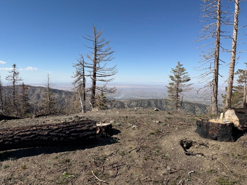
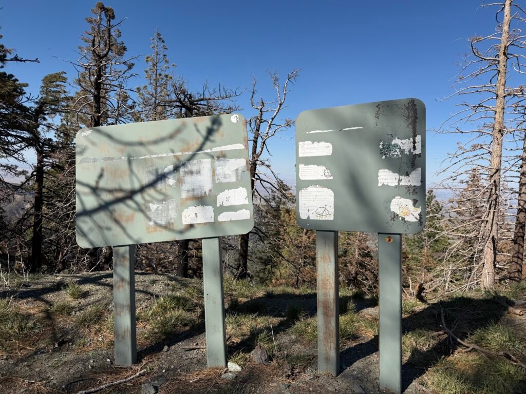
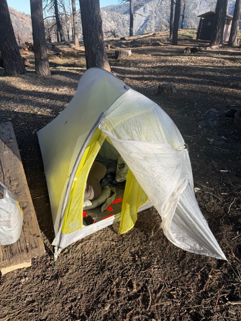
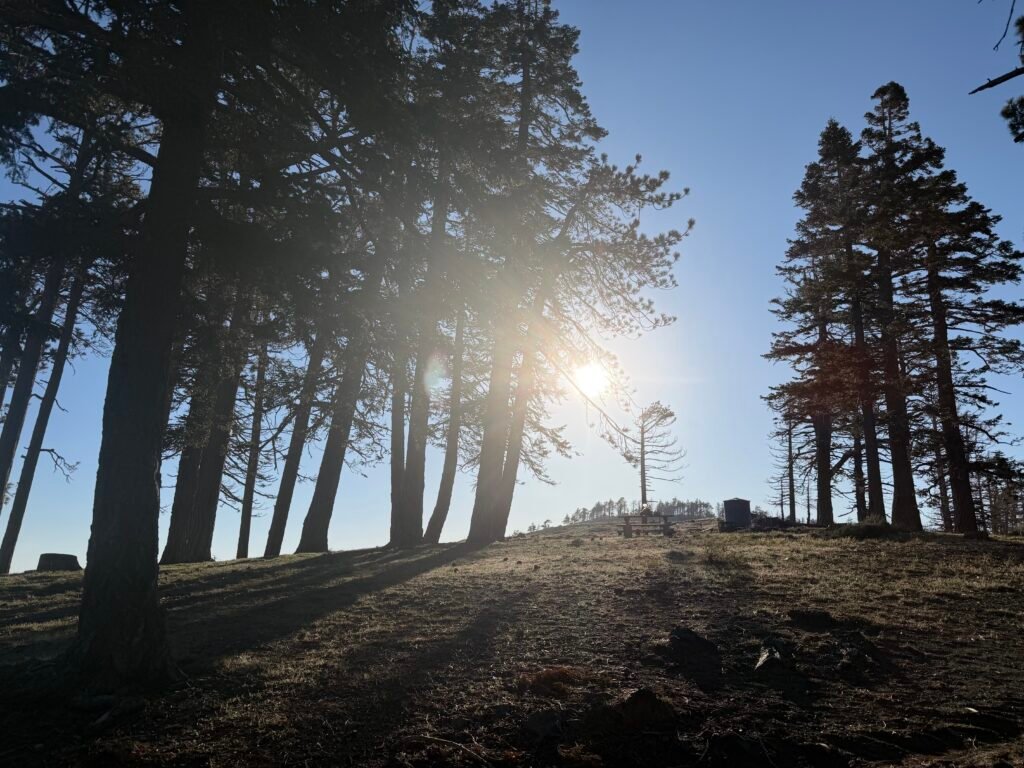
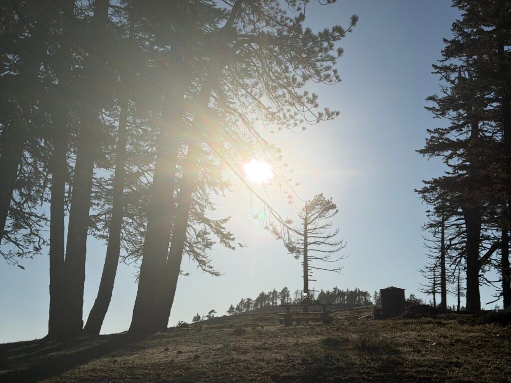
I ended up at Guffy Campground. This was drive-in campground that had been partly burned. Some cleanup work had already been done, so I had an easy flat surface to put my tent on, a picnic table to use, and a pit toilet nearby. There were about a half dozen PCT hikers there.
Mile 352.7 to 364.4 – 12.3 miles total hiked on the PCT
PCT 2026 Day 34 Photos and Movies

Flickr collection of all PCT 2026 Photos and Movies, Organized by Trail Day: https://www.flickr.com/photos/wanderingjim/collections/72157727360883240


Comments by WanderingJim
PCT Mile 1528 and then…
"Yes, got home safe, but got trail sick and wanted to get..."
PCT DAY 85 – CA Section H
"No cell service in many parts of the PCT. Not dead yet."
PCT or BUST!
"Yes, I’ll be going through there by early August"
JMT 2020 Day 3
"I'm afraid I have no idea. Not really a fisherman, so don't..."
JMT 2020 Trek Day by Day
"Yeah, but with 9,000 pictures, it's hard to label each one..."