Wednesday, September 30th, 2026
As usual during this restart of my PCT hike, I woke up about 6:30 AM in the dark, had breakfast, enjoyed the sunlight from the sunrise, and packed up my gear.
Fortunately, I was still alive, so none of the dead trees or branches fell on me overnight. 😄
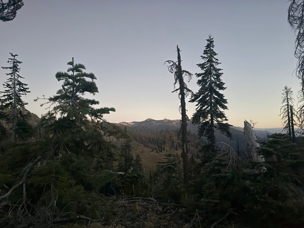
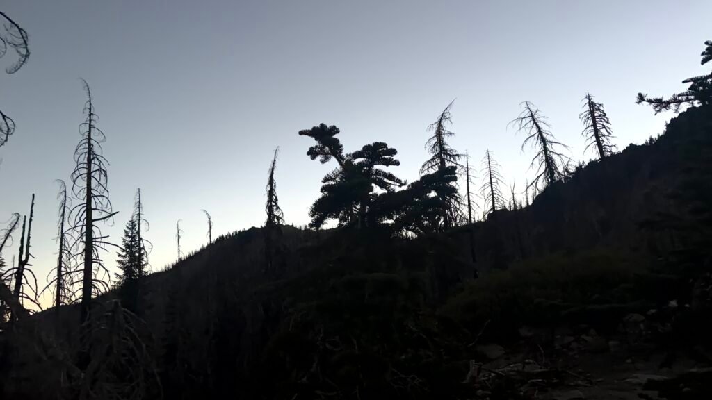
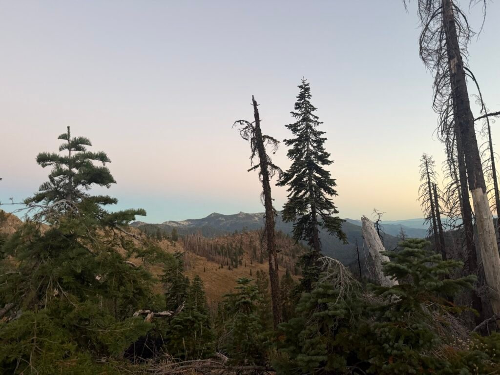
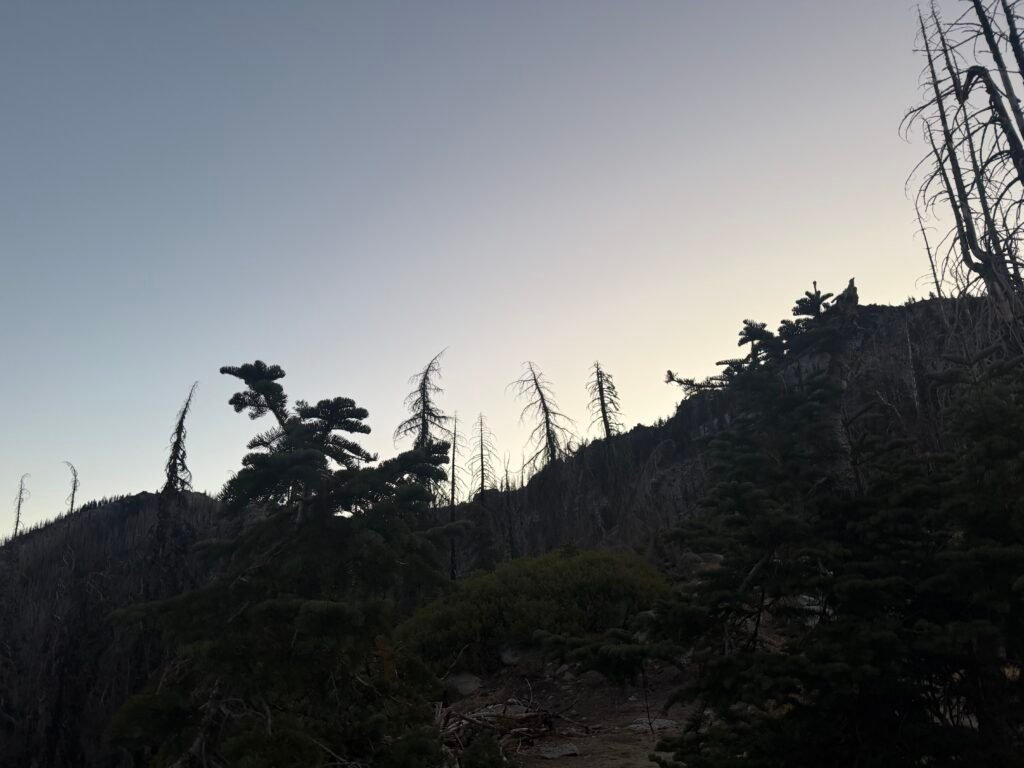
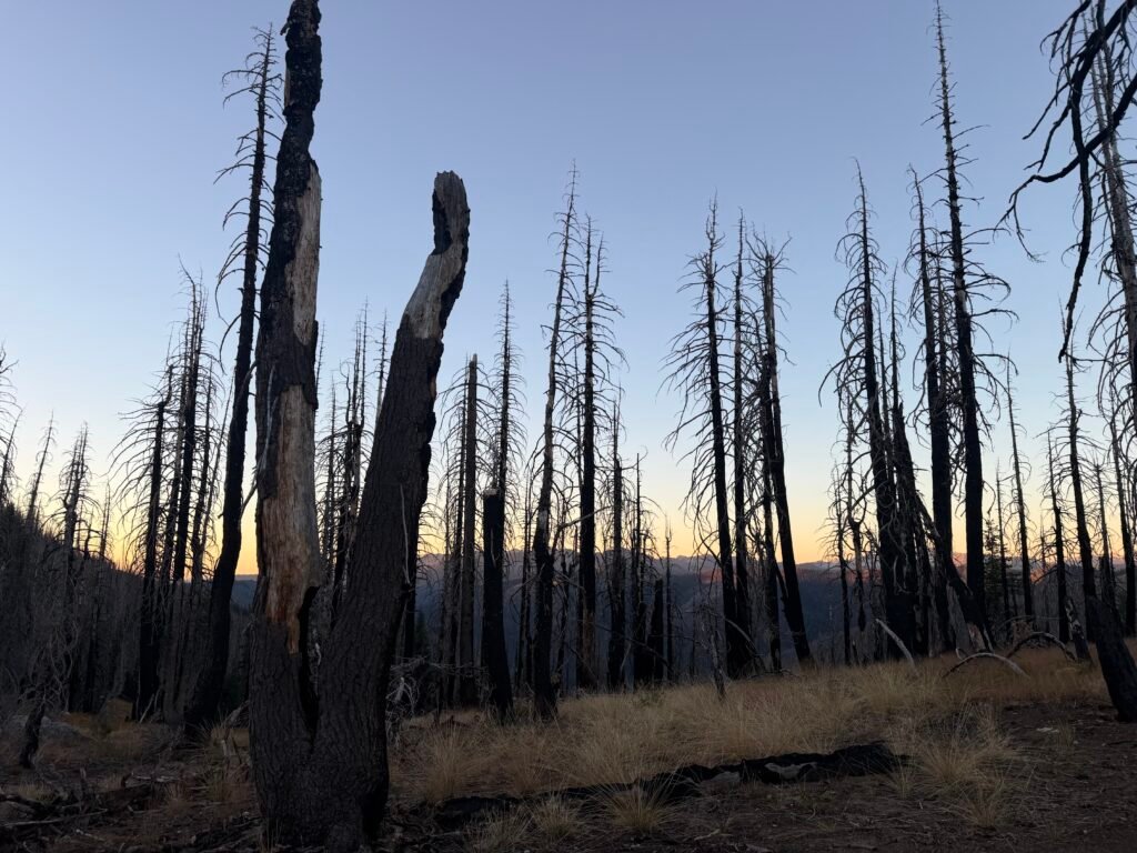
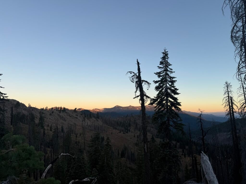

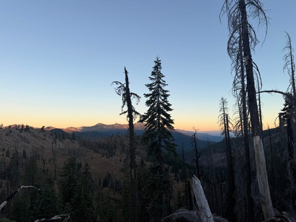


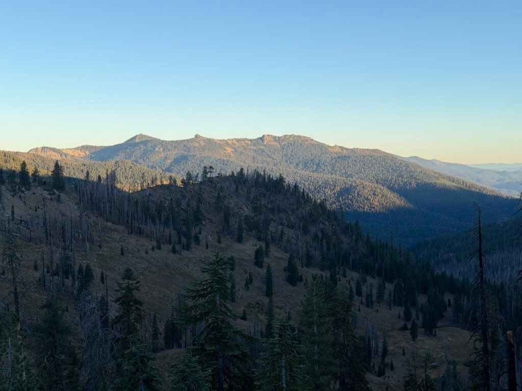
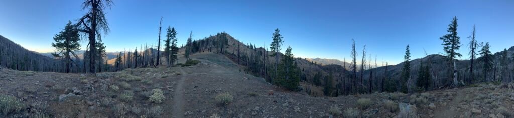
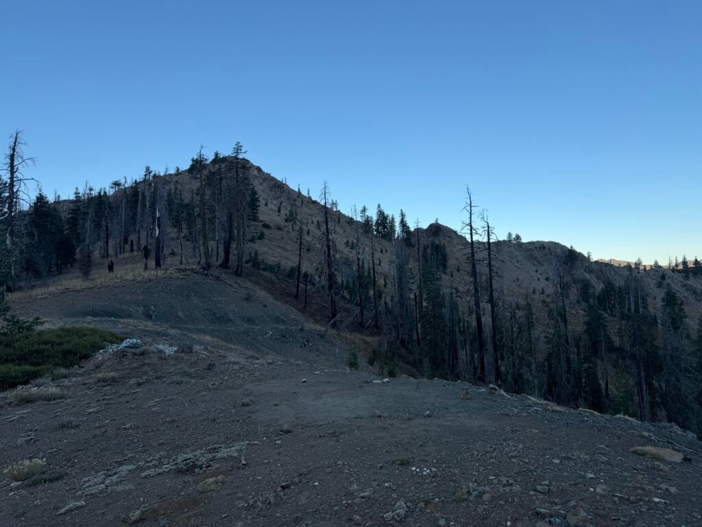
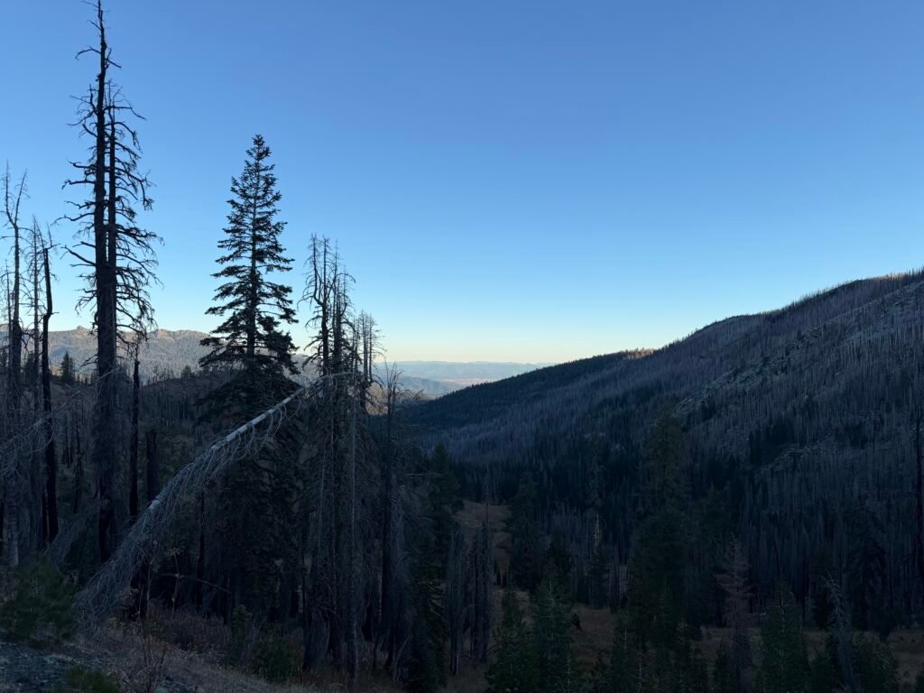
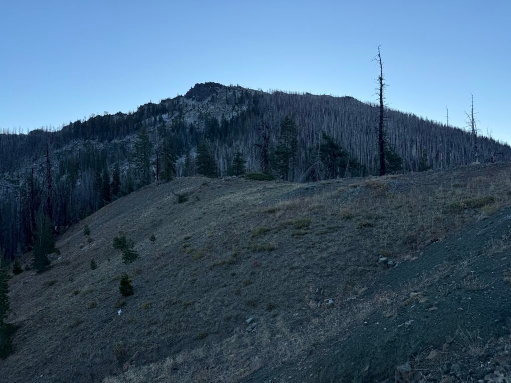
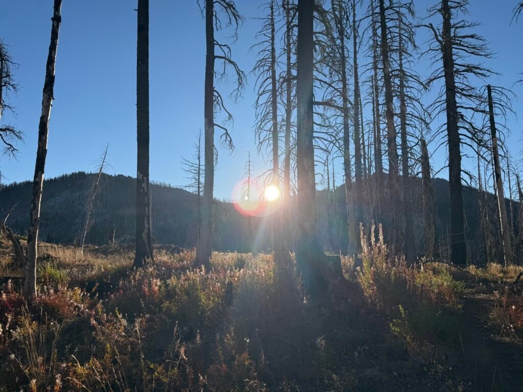
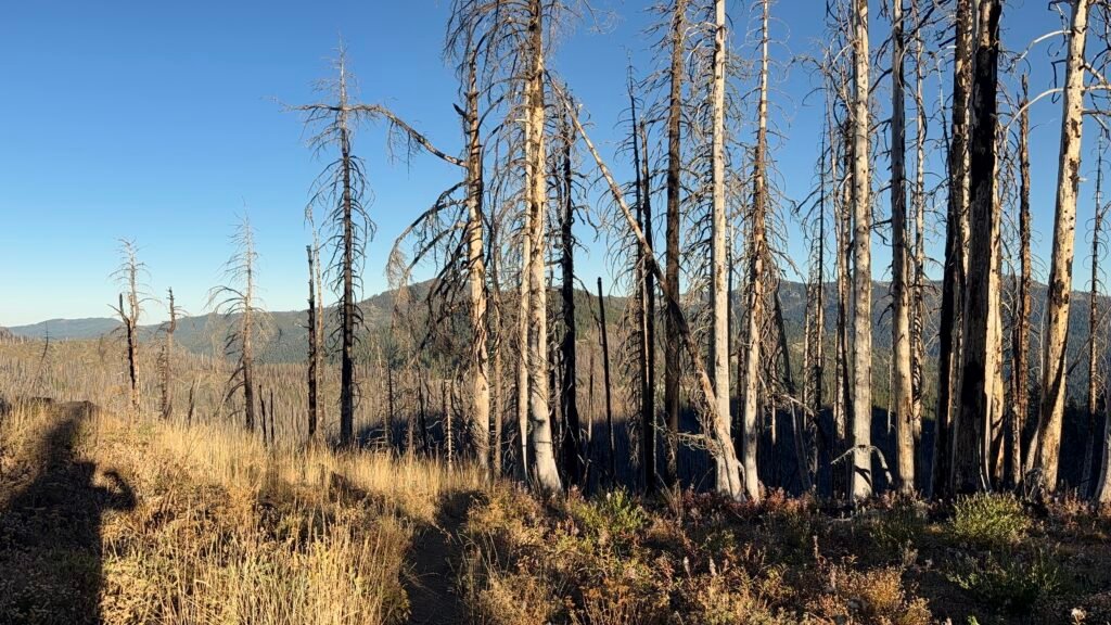
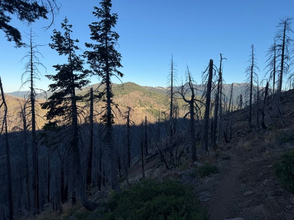

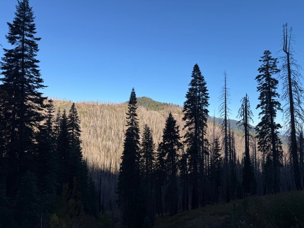
The day started off descending to another campsite and creek that I could’ve gone to the previous day, but there wasn’t any view at all.
After that, it was a climb up towards Highway 93 and the end of the Shasta–Trinity Wilderness.
It wasn’t that bad of a climb. But looking at the elevation profile for the day looks like I would be going up and down a lot. Fortunately, in small pieces, so I wouldn’t get exhausted (too much).
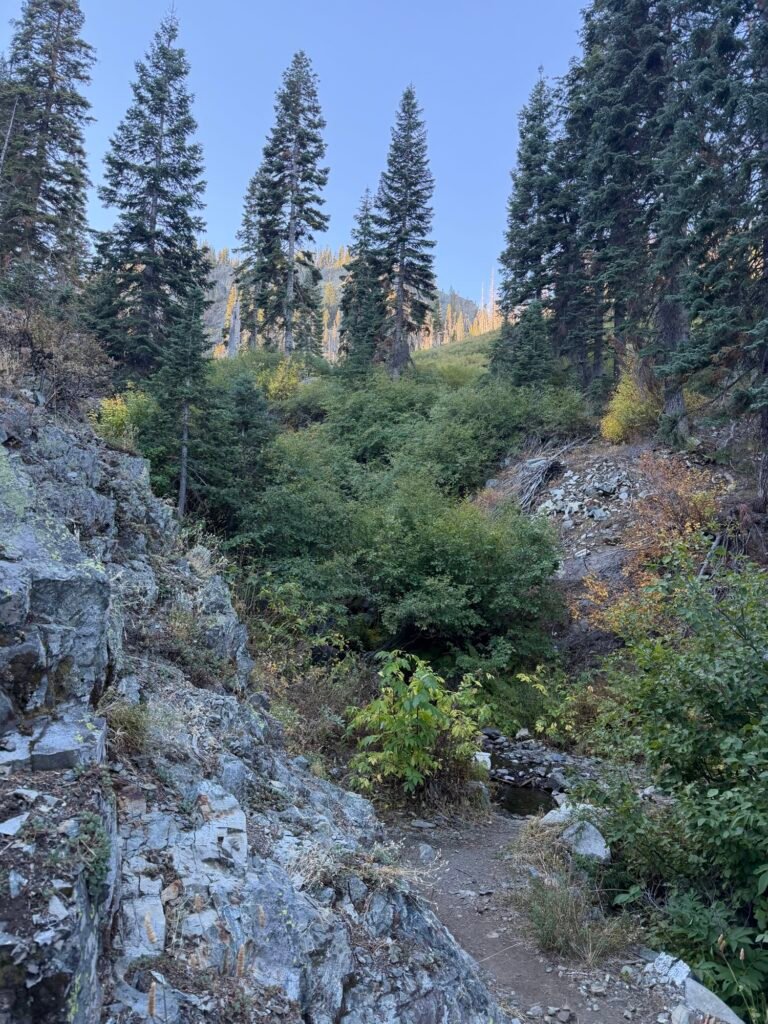
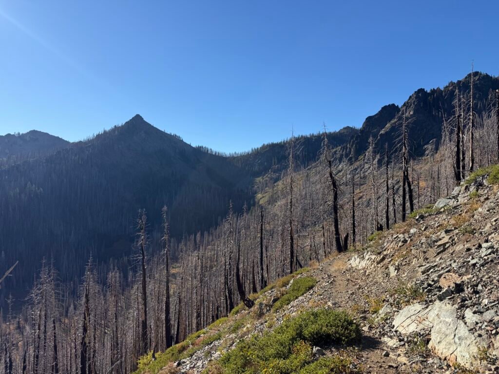
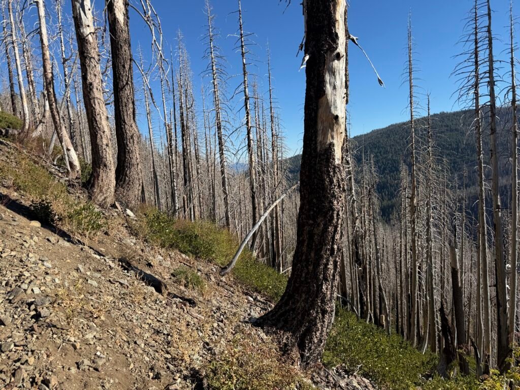
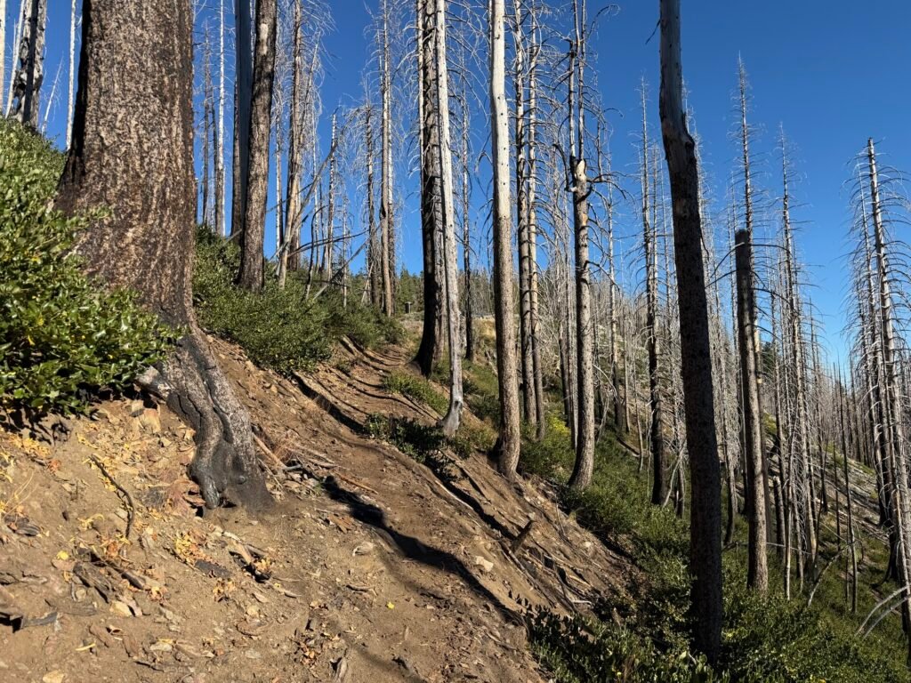
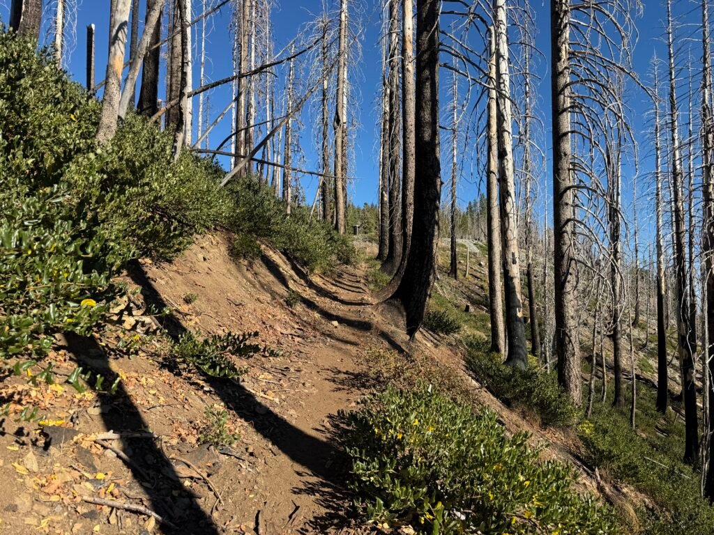
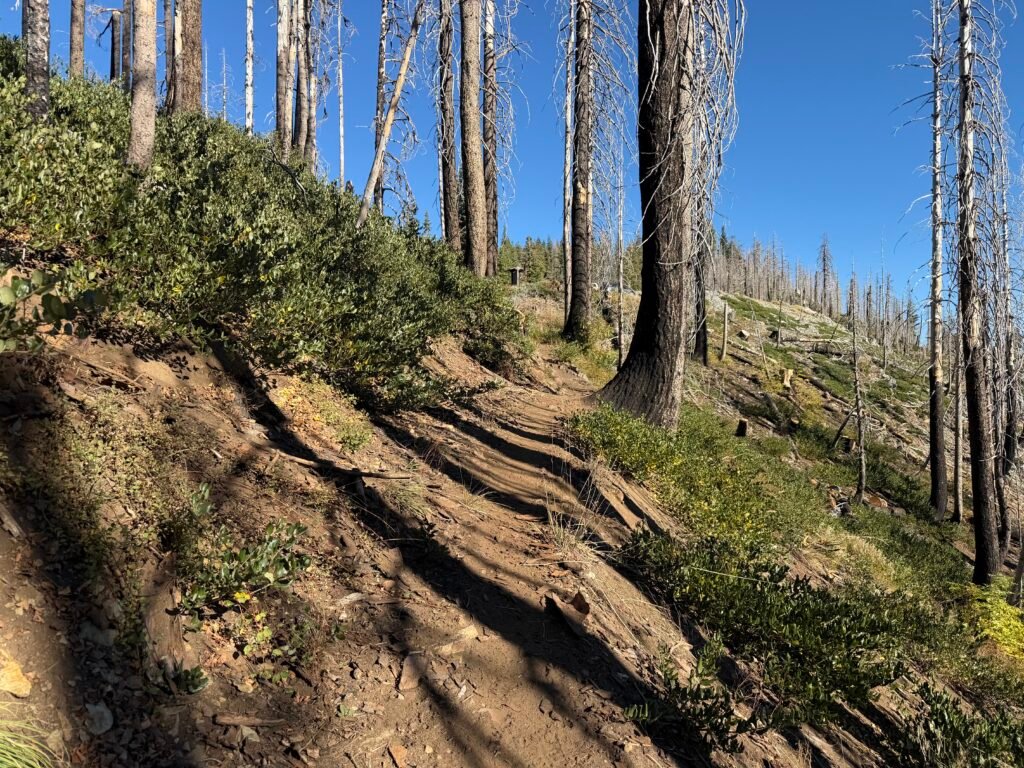
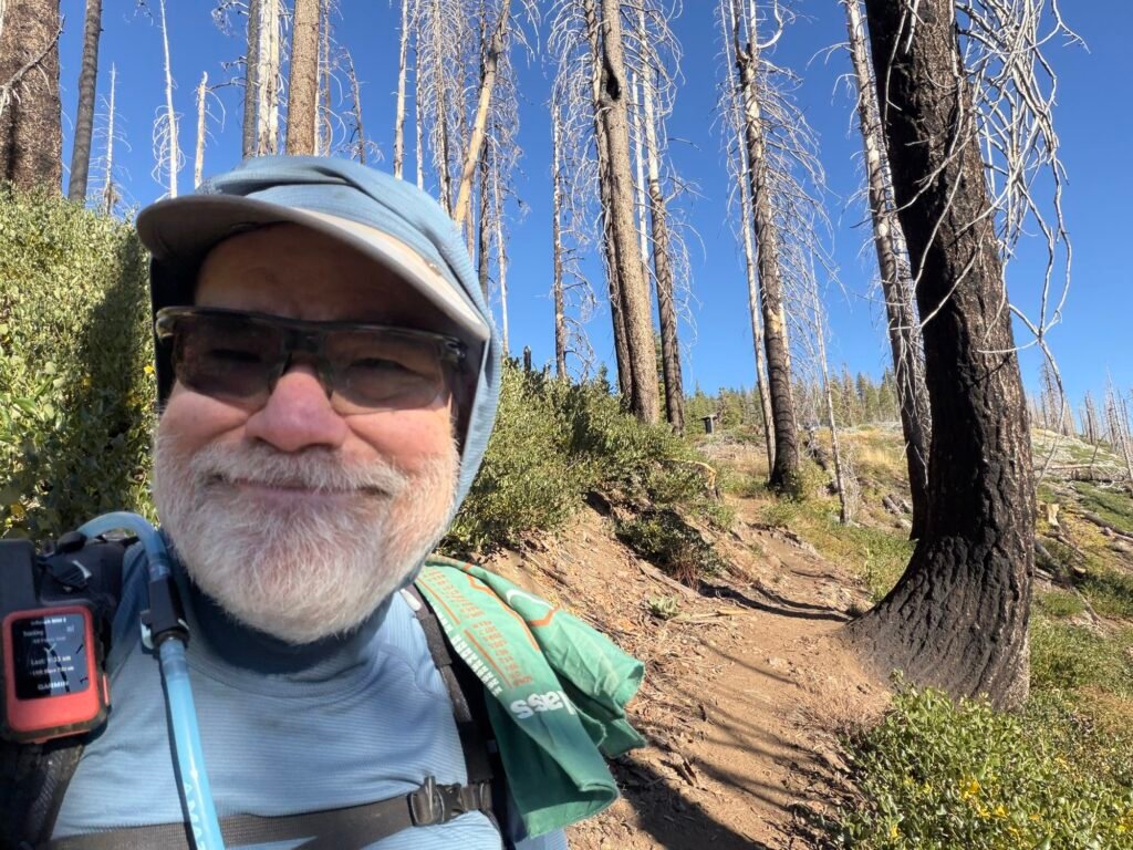
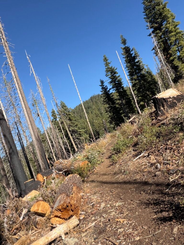
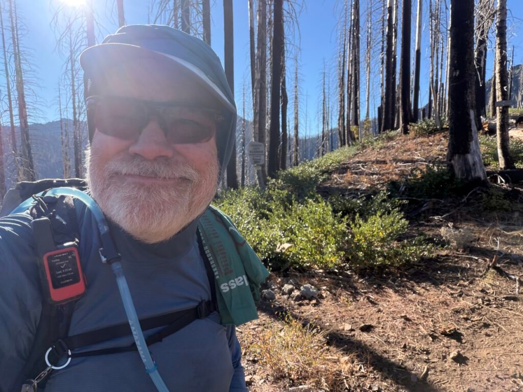
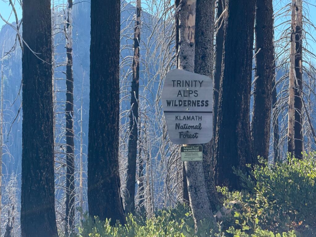
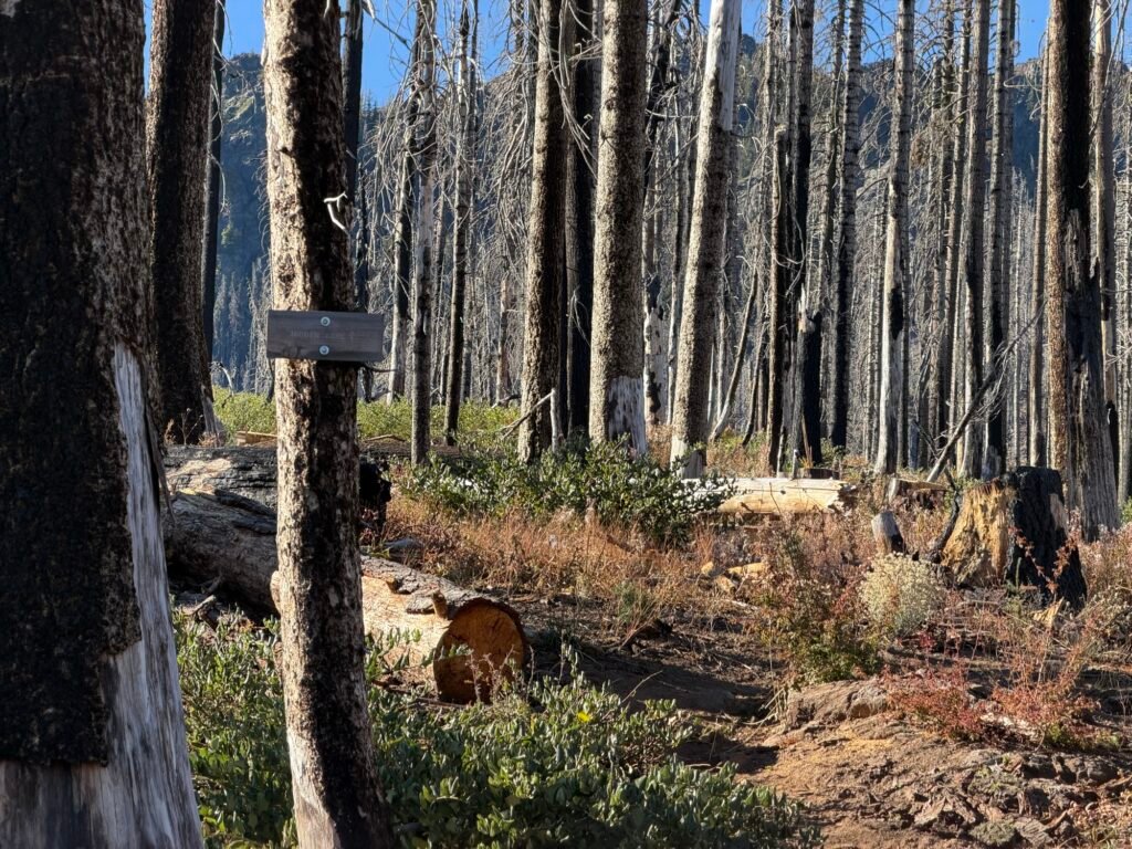
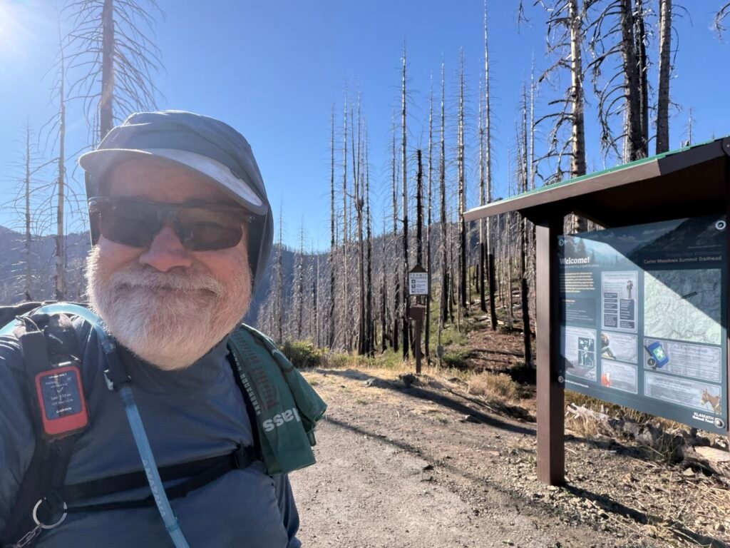
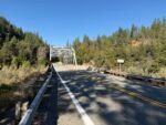
Reaching Highway 93, I did what any through hiker would do: Look to see if anyone had left any trail magic or see someone was at the trailhead. 😛
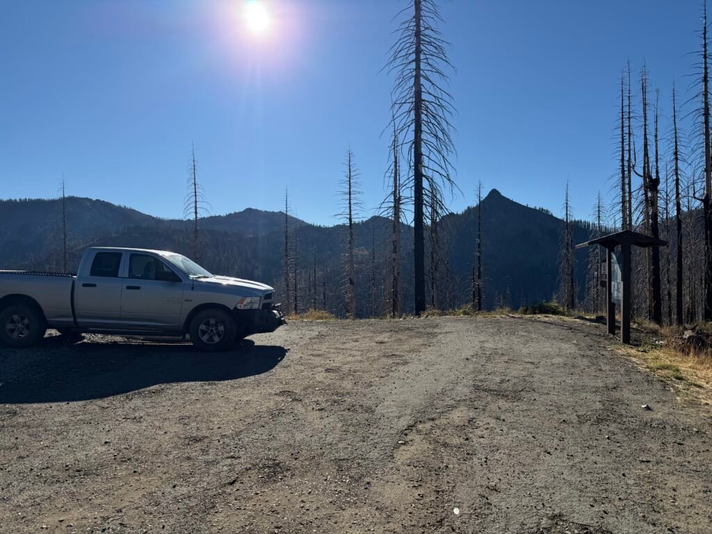
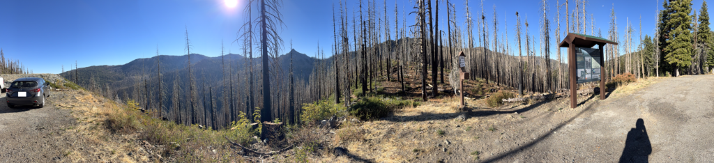
There were a couple cars parked there, but no trail magic. Not surprising since it was so late in the season, but doesn’t hurt to check.
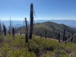
Crossing the highway, I again had to start climbing, but fortunately it was through a green forest. The burn scar pretty much ended at the highway.
The highway must’ve made a good firebreak, either intentionally by the firefighters or just because it’s a gap in the trees.
So, only the previous afternoon and a couple of hours in the morning of having to hike through a burn scar this time.


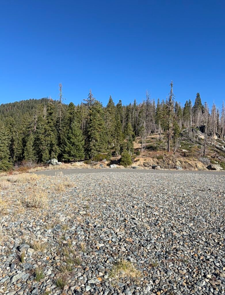
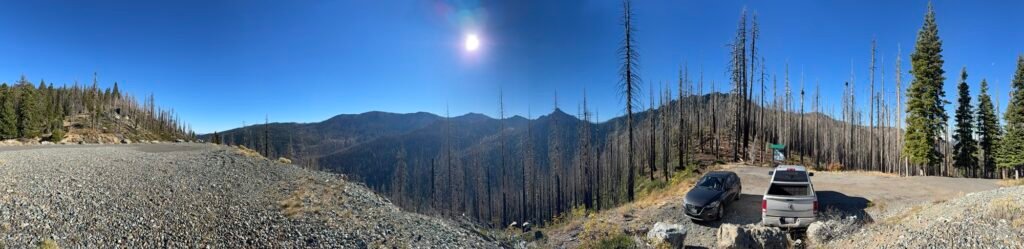
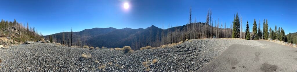

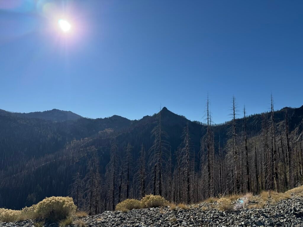
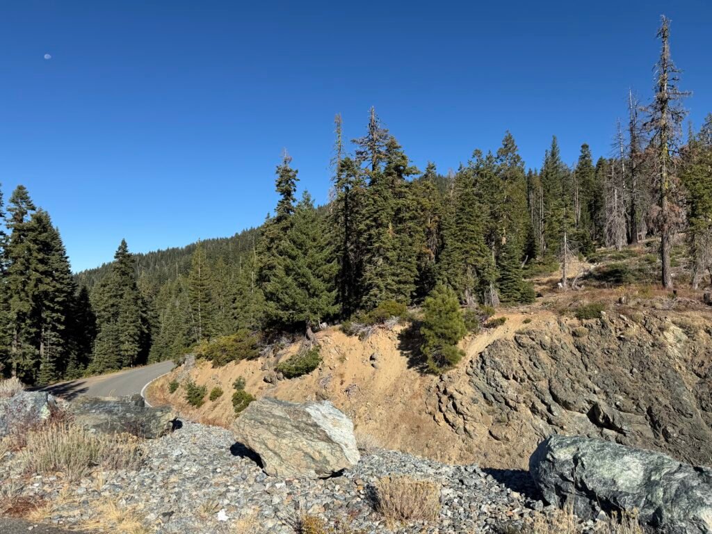

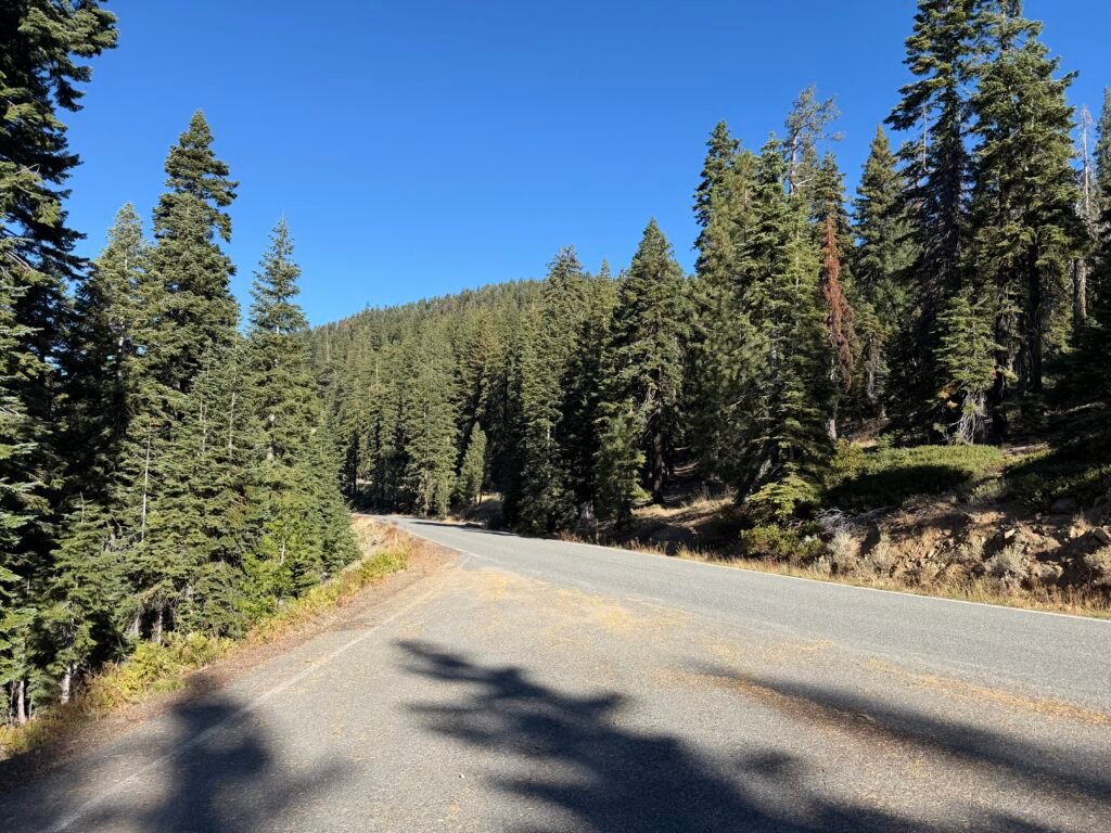
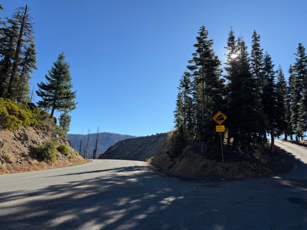
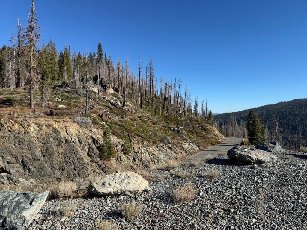
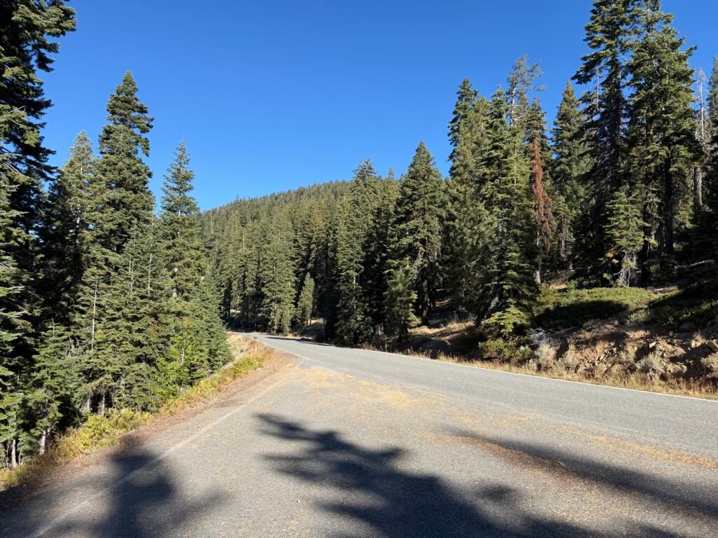
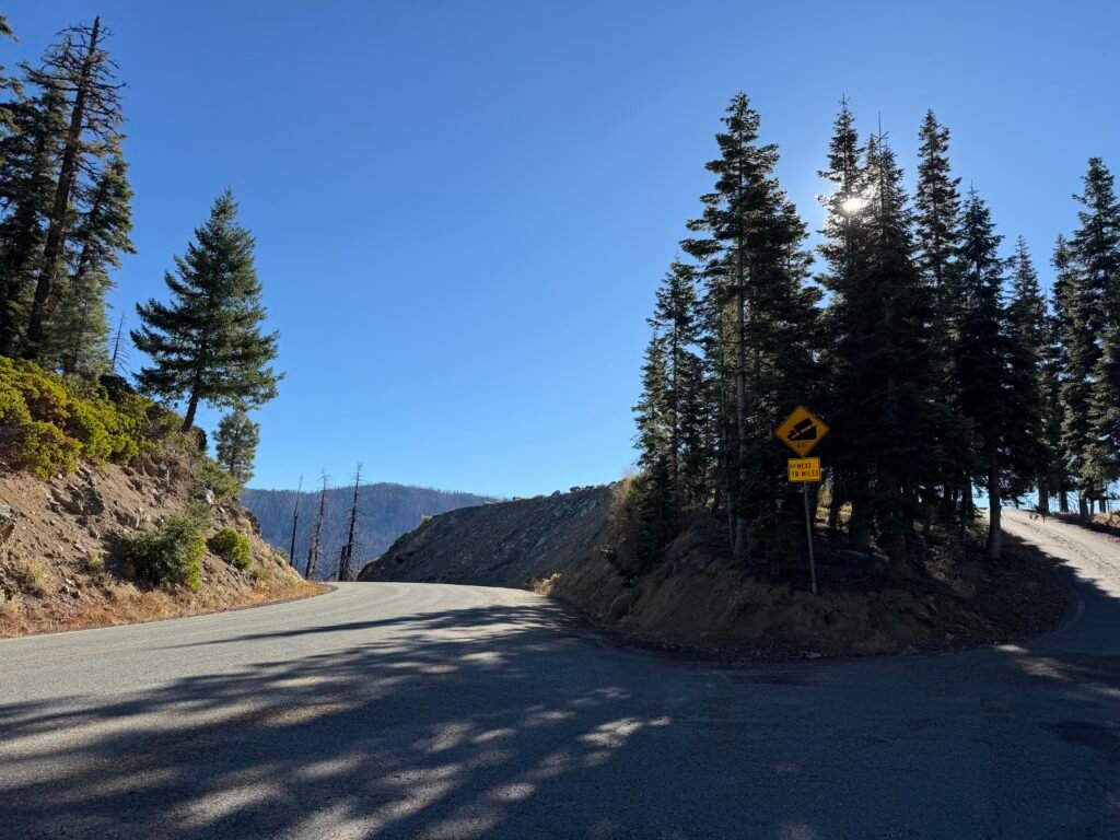
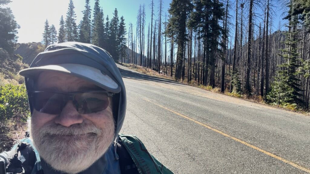
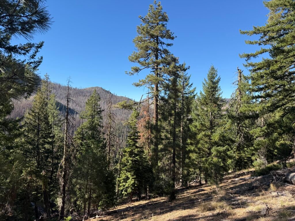
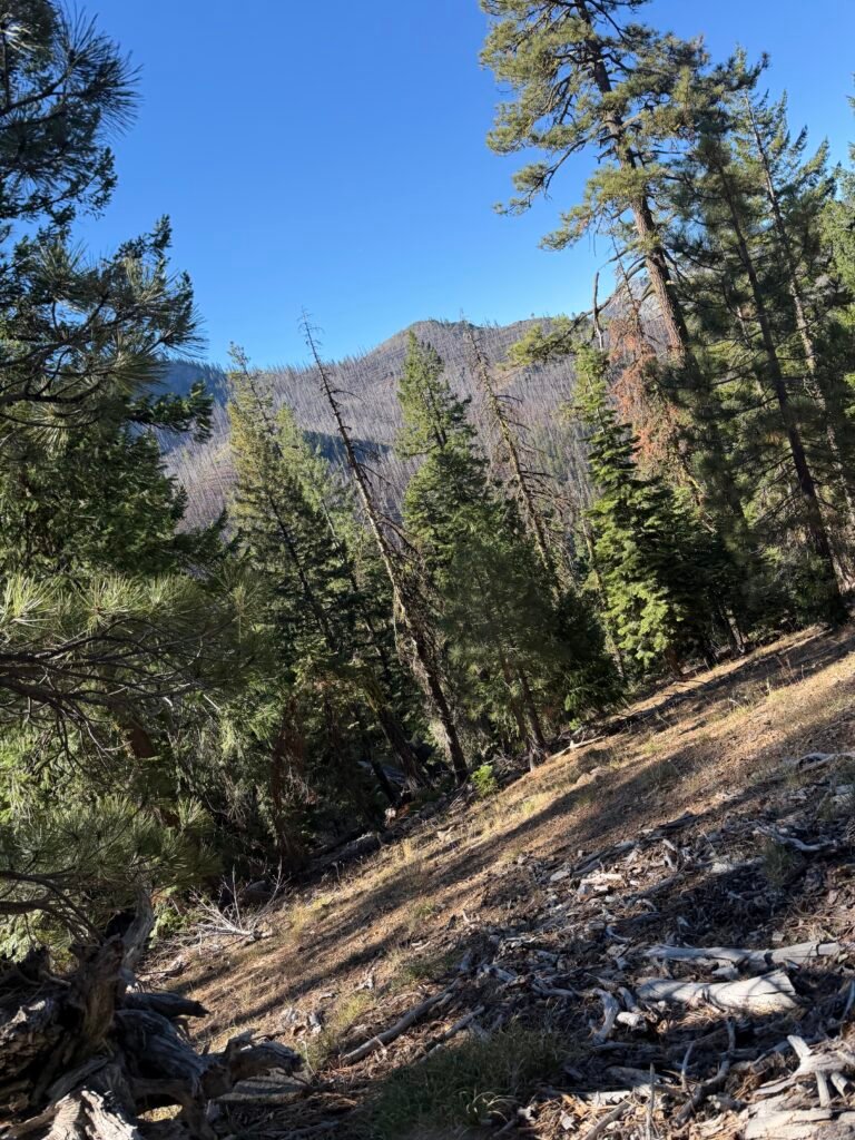

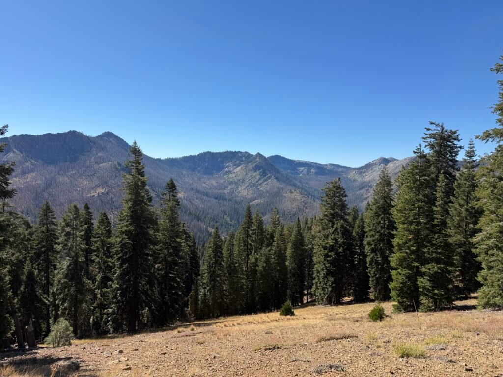
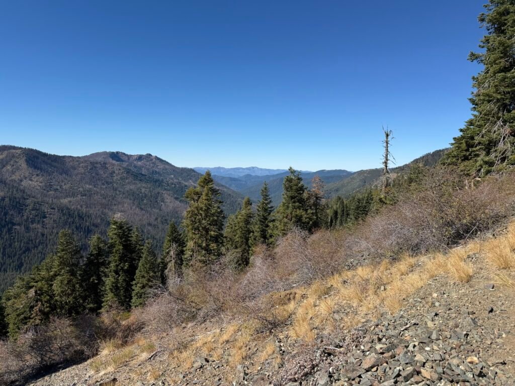
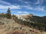
As mentioned, the afternoon was spent mostly hiking along a ridge line that went up and down a bit.
By mid afternoon, I was making slow progress. I started to think that I may have to stop sooner than I thought. Will have to wait and see.
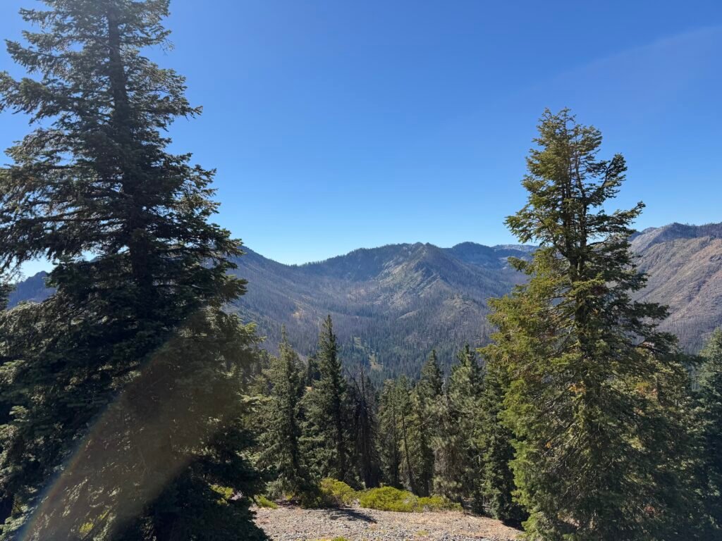
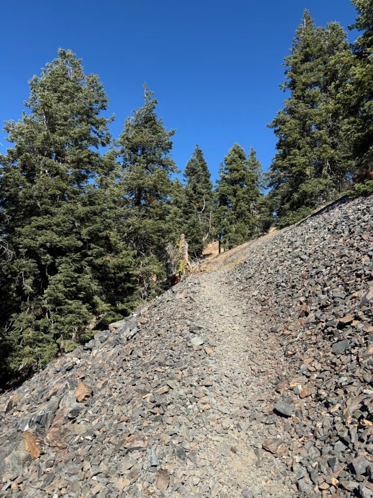
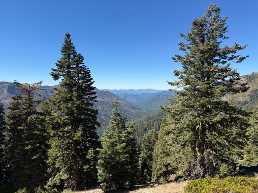
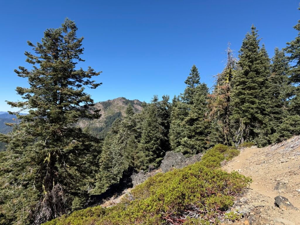

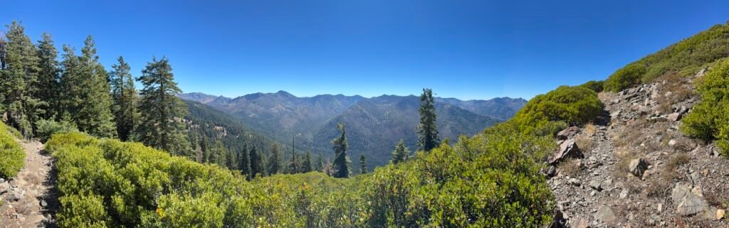

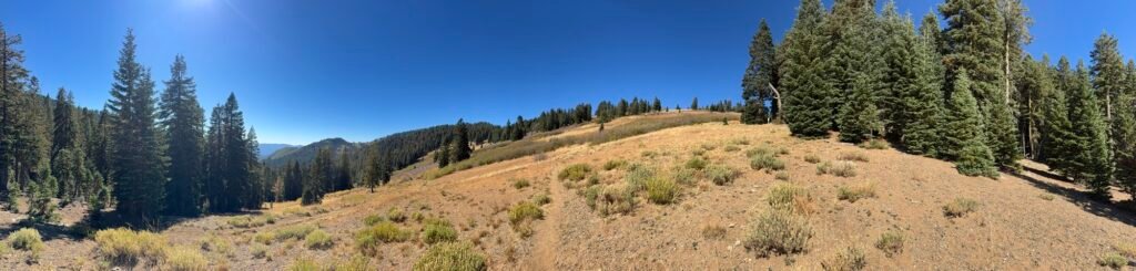
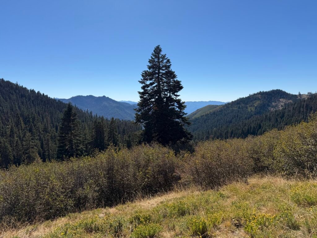


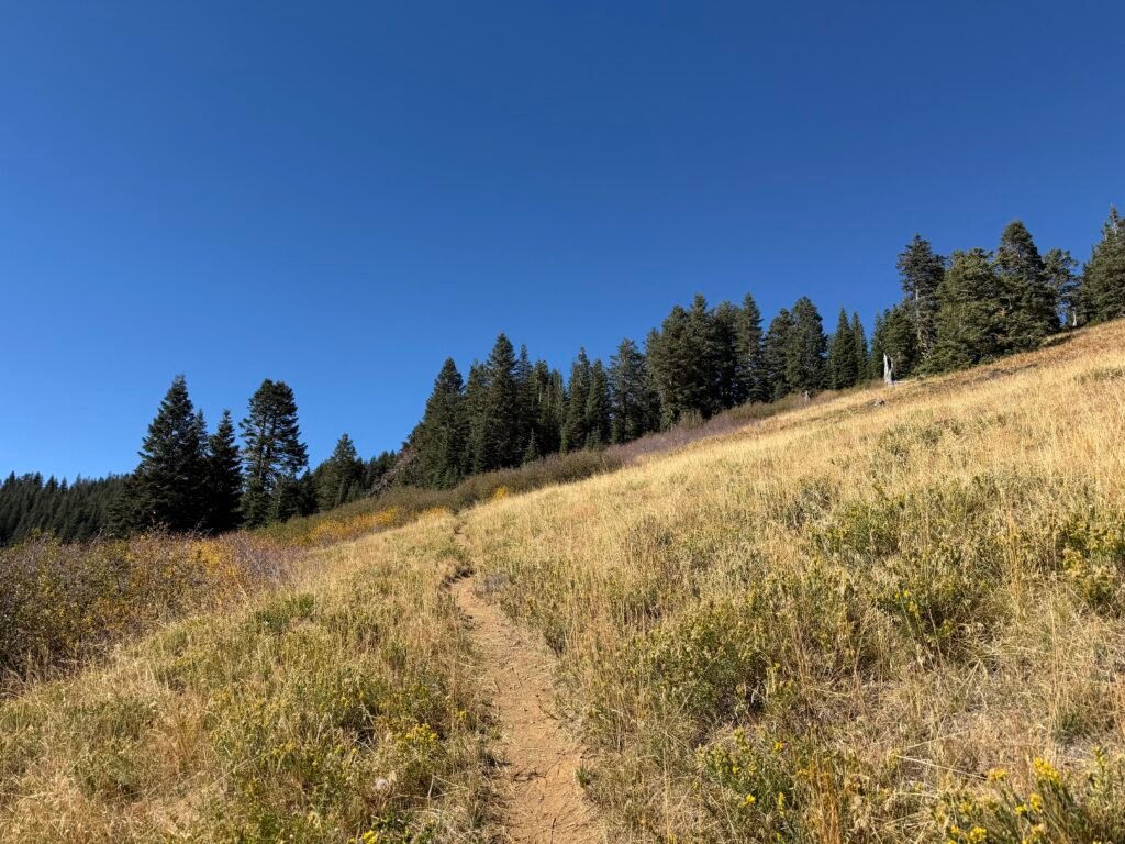
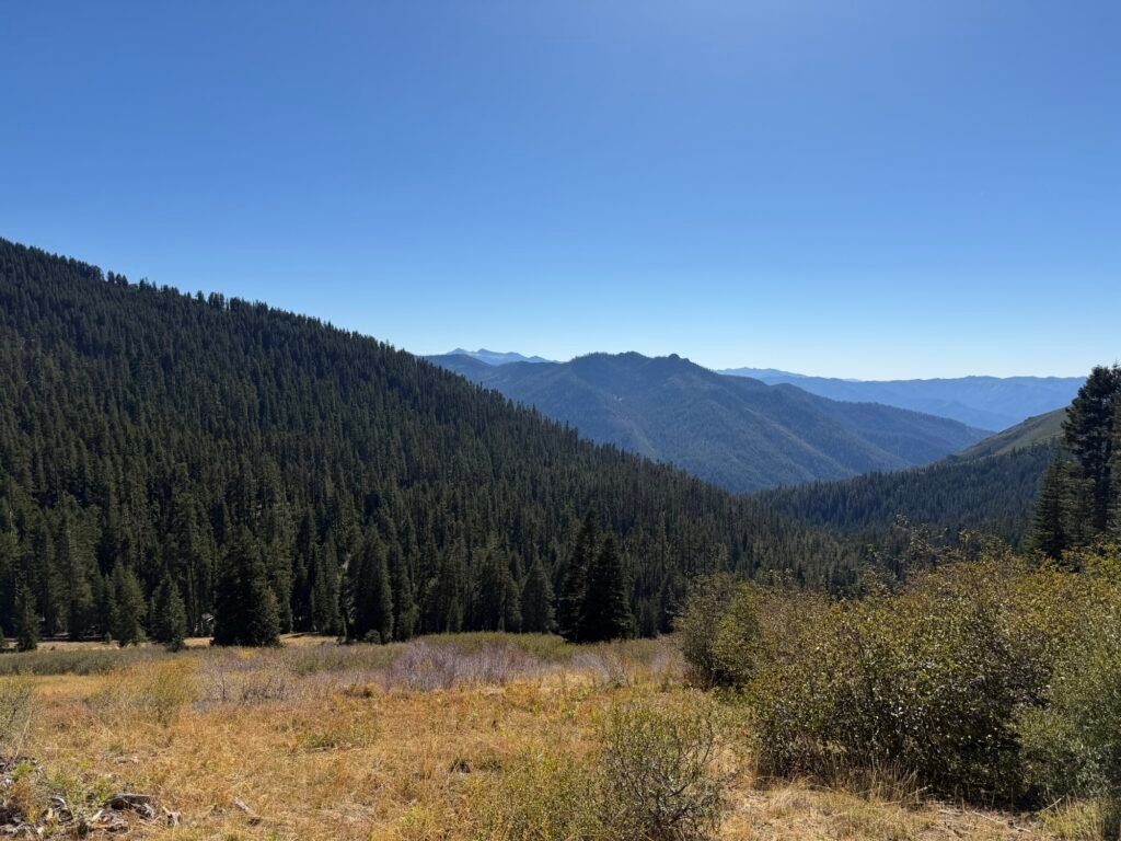
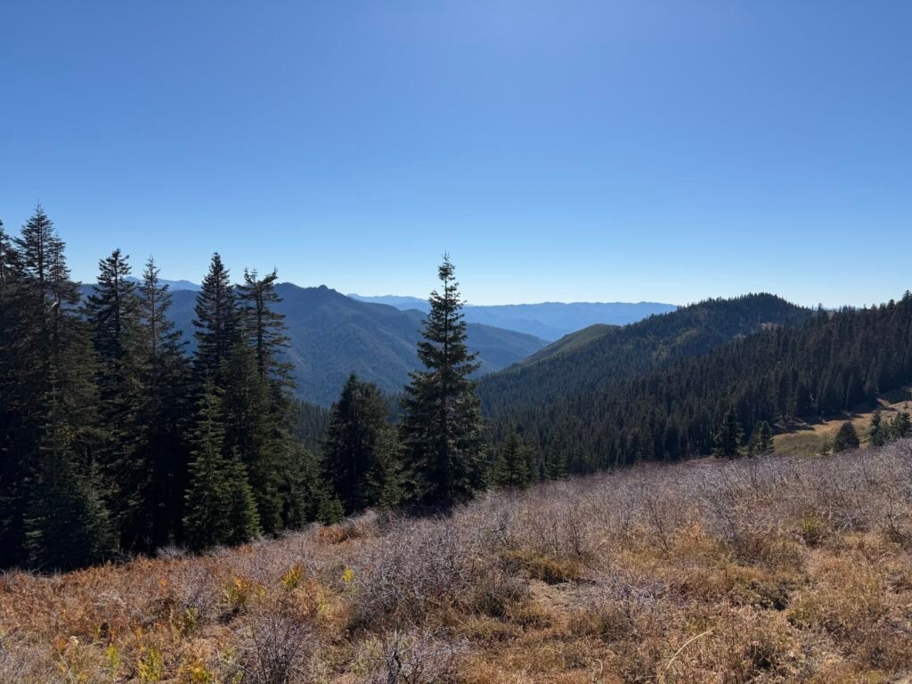
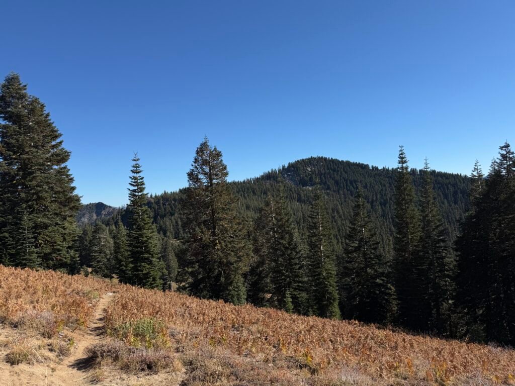
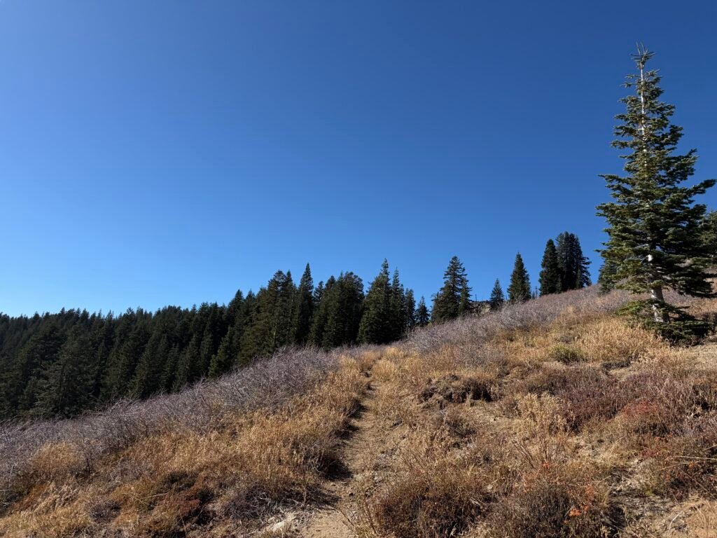
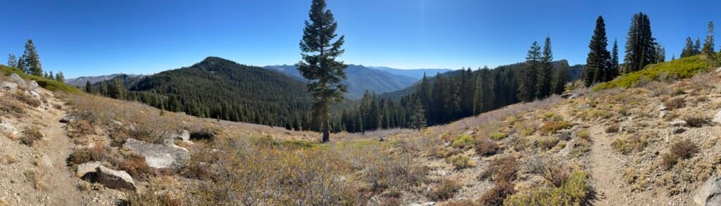

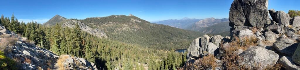
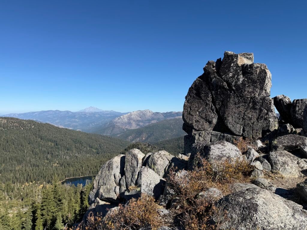
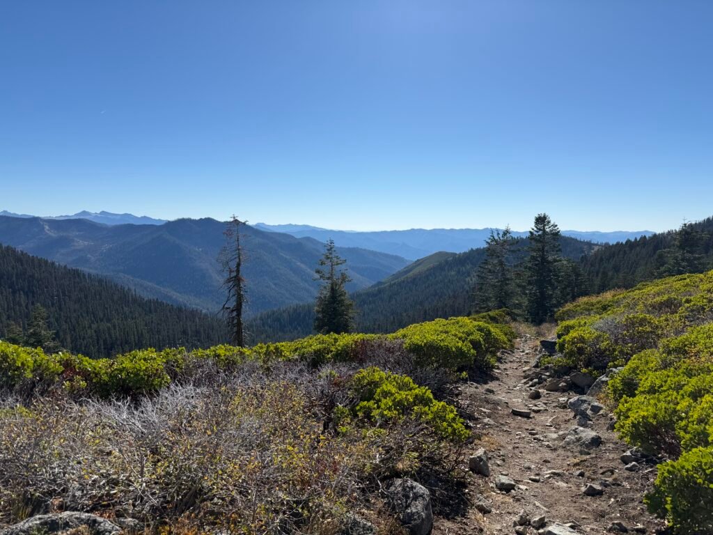

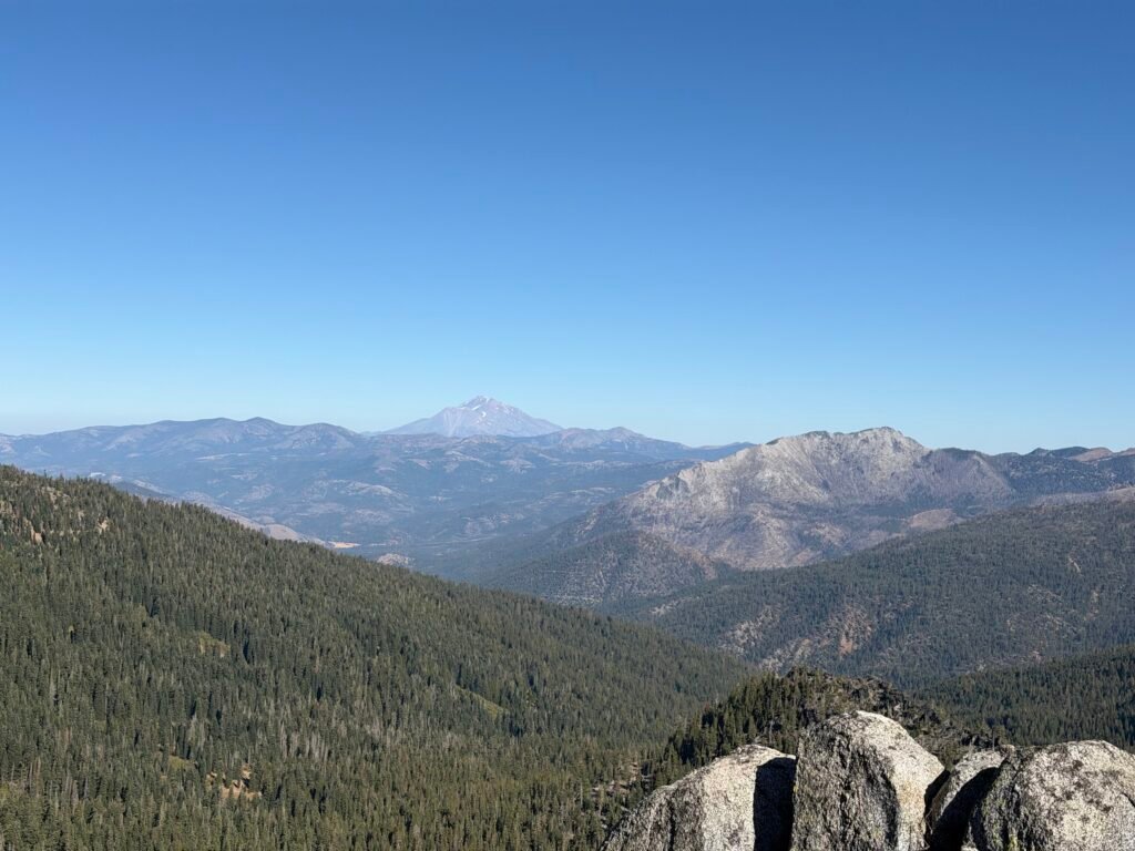
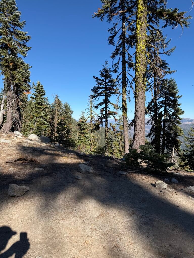
So, I found a campsite that had a view of Mount Shasta. And then I was tempted to stop early for the day and enjoy it.
But since it wasn’t even 3 PM yet. I decided I had to continue.
The biggest problem with that is the next section had a very long ridge without any campsites listed in the far out app. Being on a ridge, there are sometimes very few flat areas to camp on.
So it was possibly a bad decision to continue hiking.
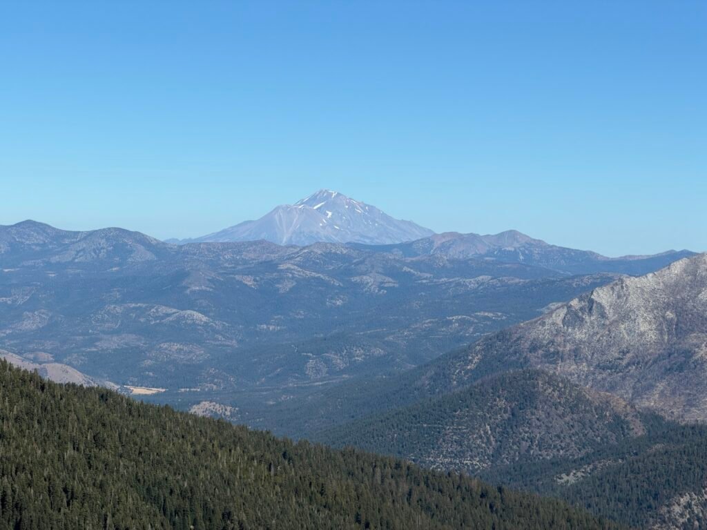
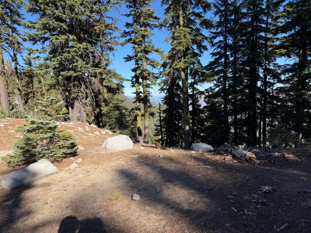
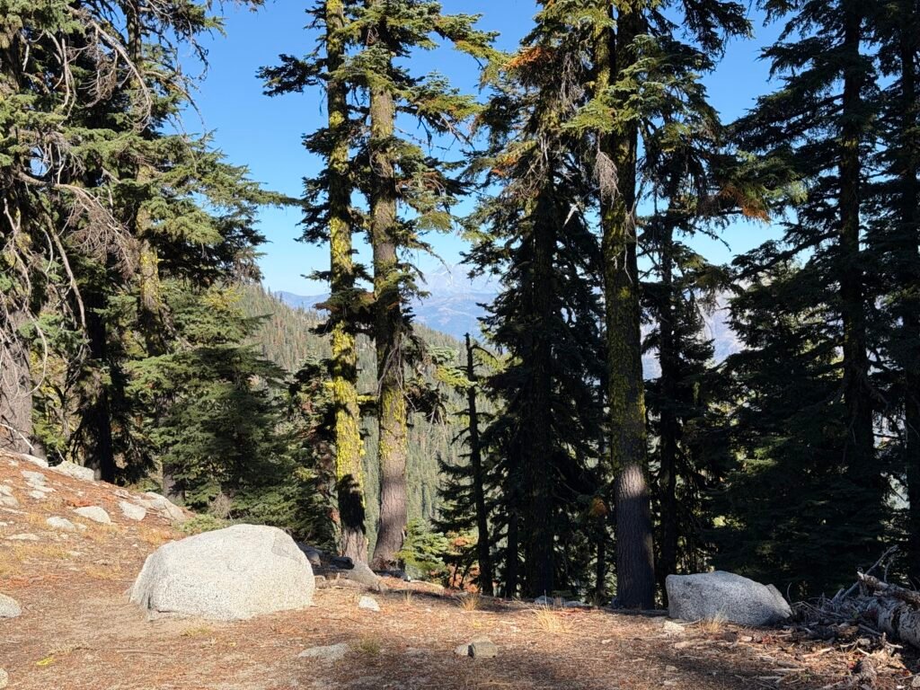
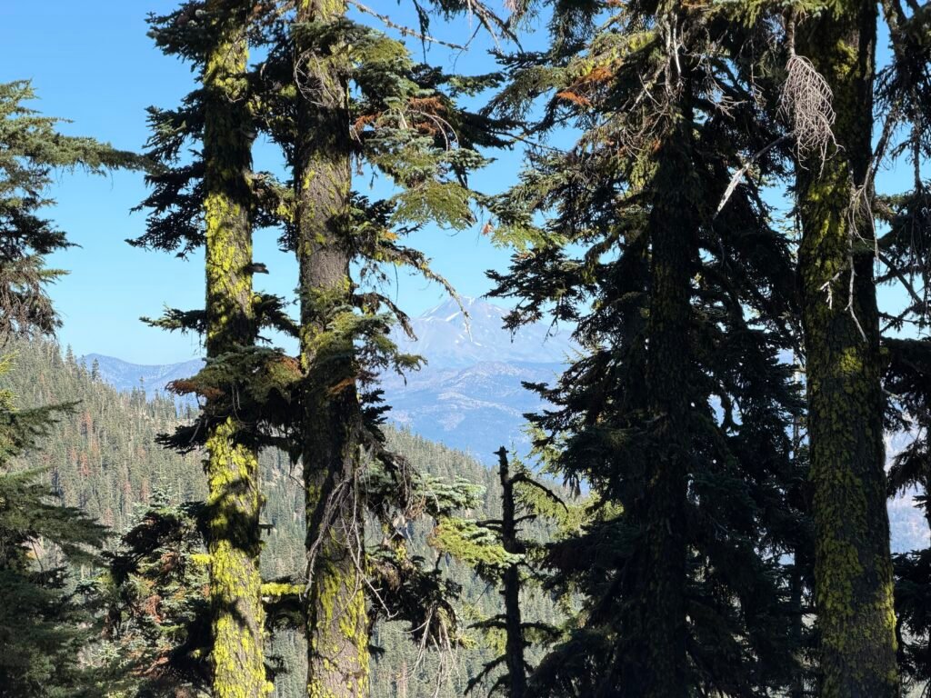
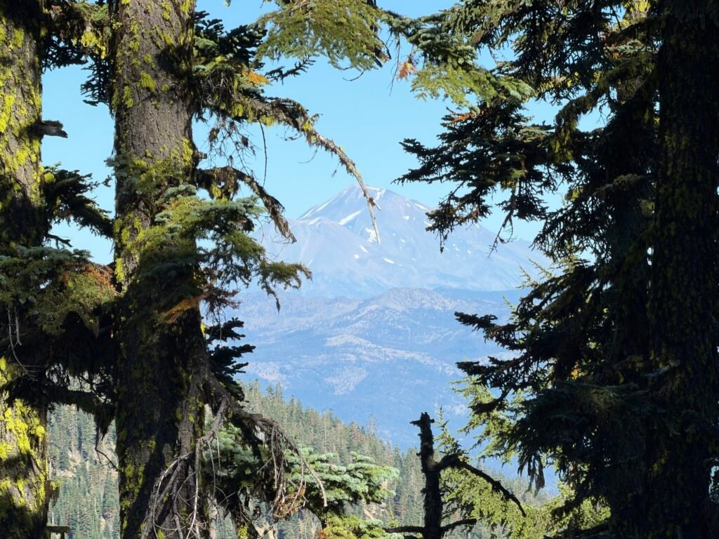
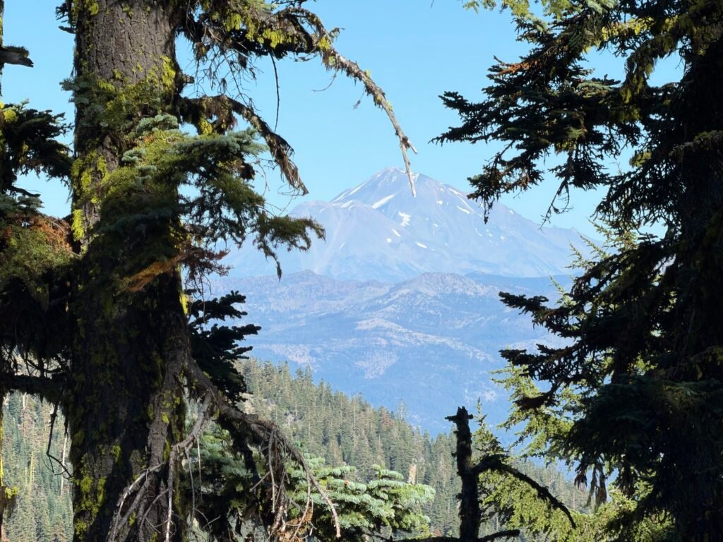
Wait a second…
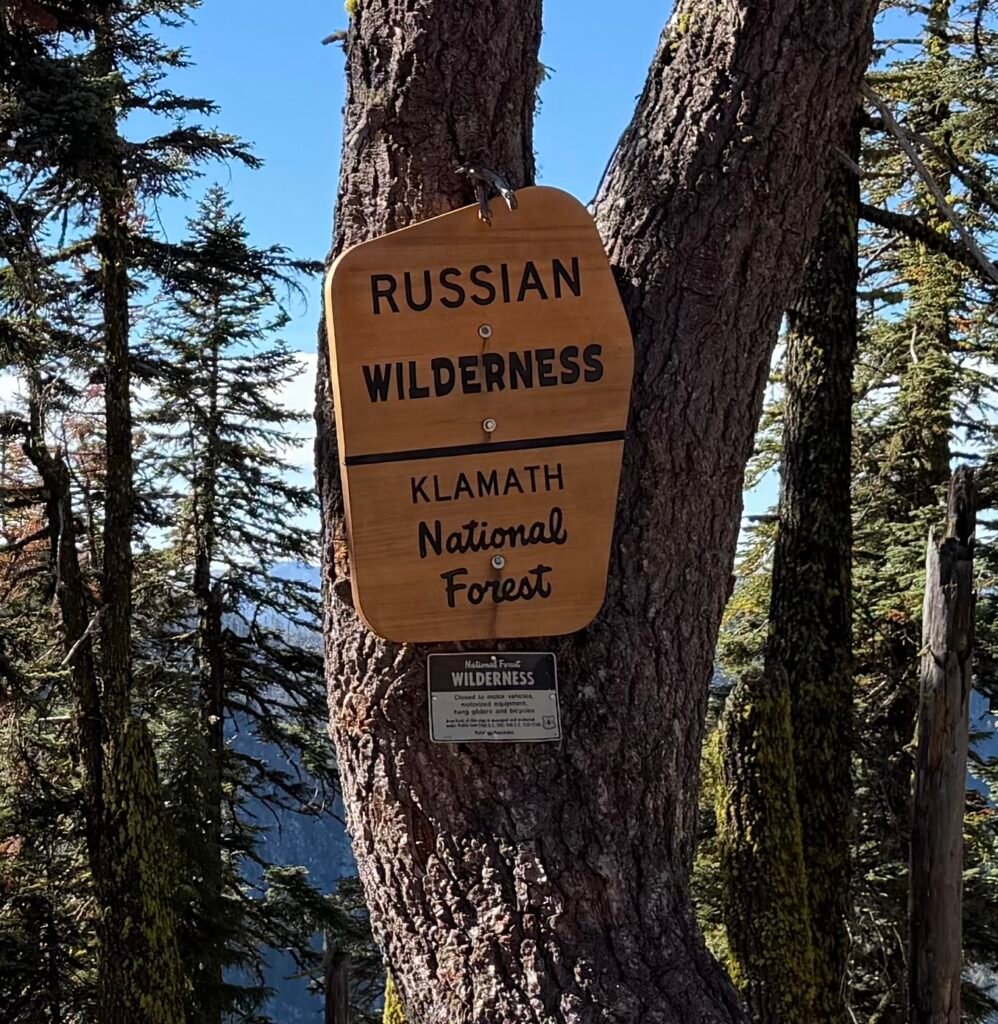
I somehow missed Oregon, Washington, and Canada, and somehow ended up in the Russian wilderness!!!
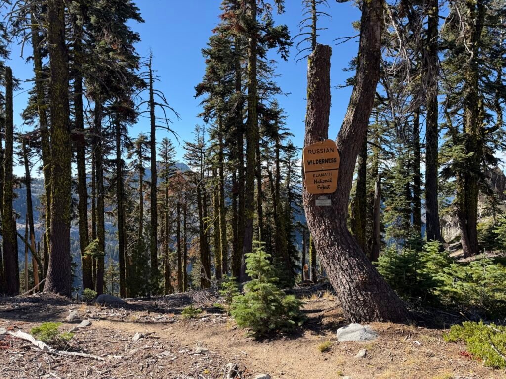
And I don’t have my passport with me. 🤣

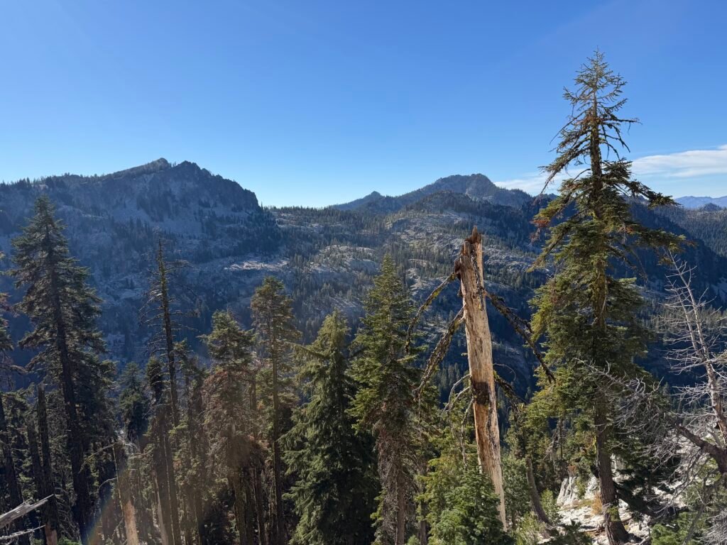
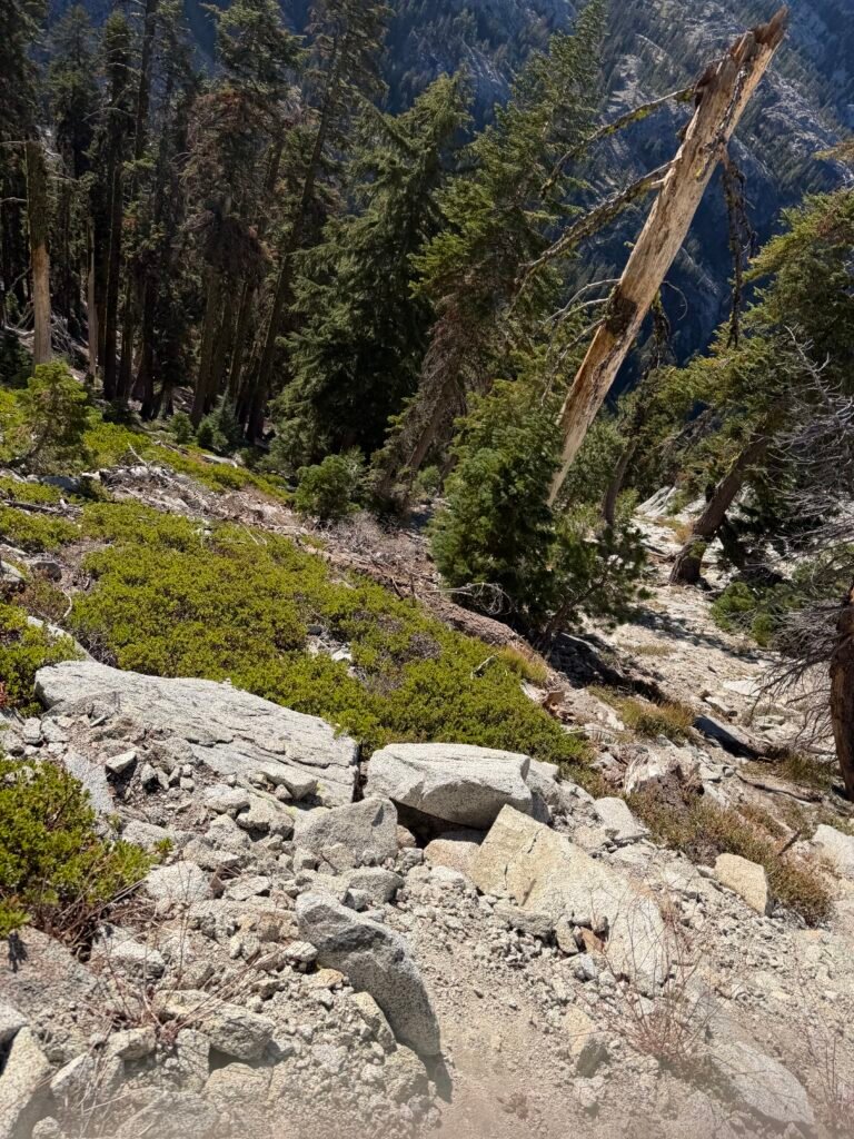

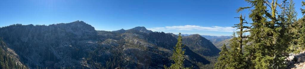
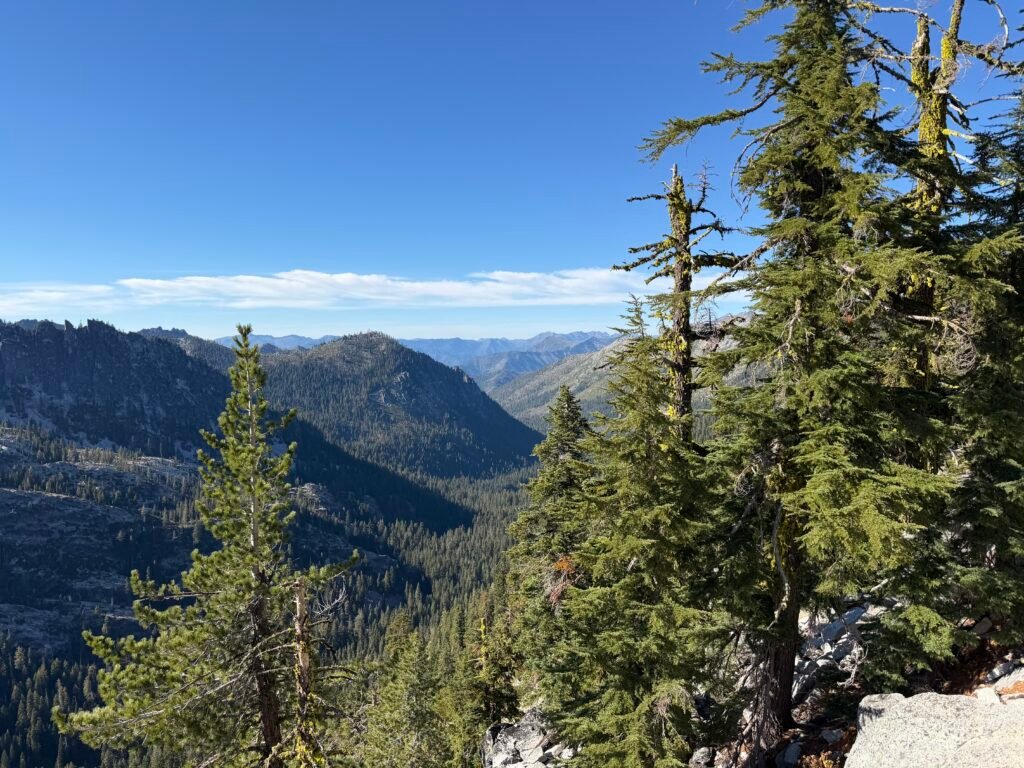
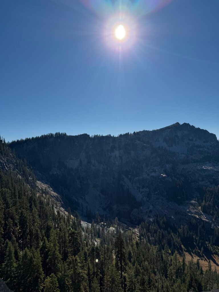
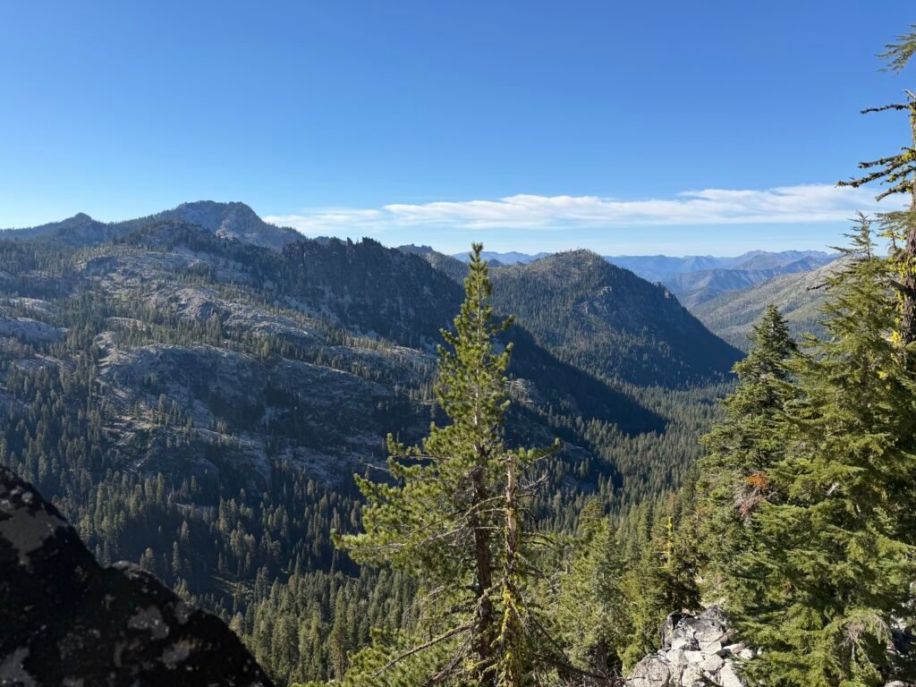

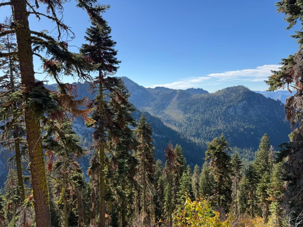

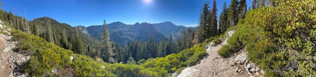
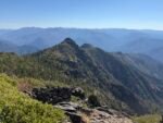
What you see below is a big, flat granite boulder sticking out over the valley below
You think no one was crazy enough to actually camp on top of that boulder? But if you look closely, there’s a row of rocks lined up to act as a windbreak. So there are people crazy enough to actually try to sleep on top of that.
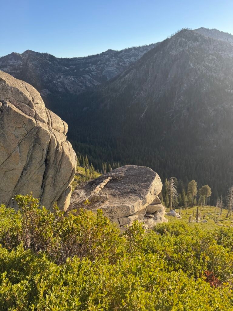
*I* am not one of those people. 😄
So, I continued my hike along the ridgeline in search of a campsite for the night.
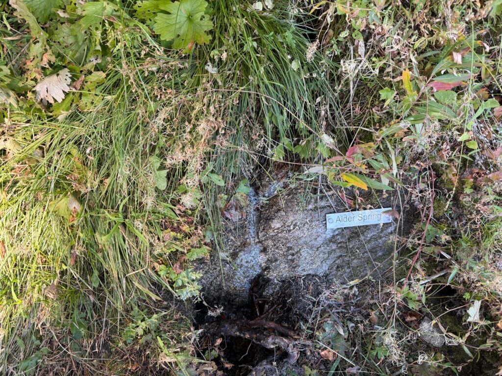
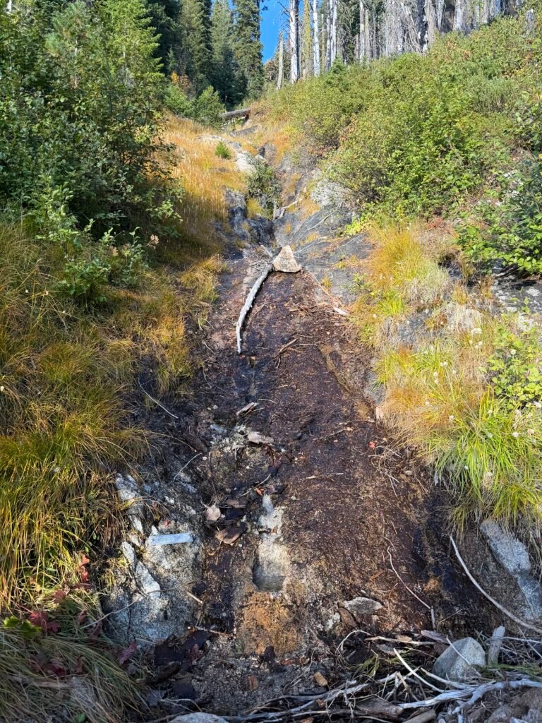
I got to the first flowing water along the ridgeline and started to fill up. Still needed to find a campsite at some point along the ridge.

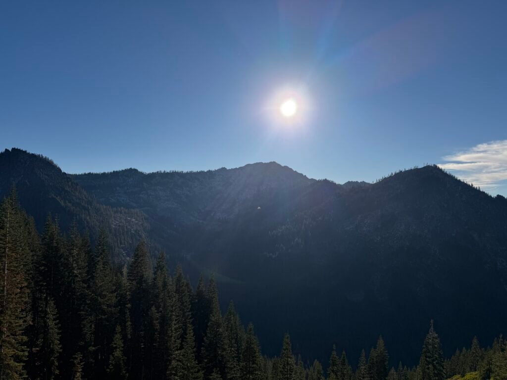

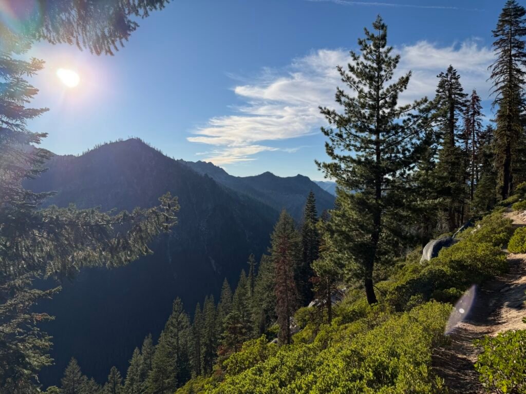
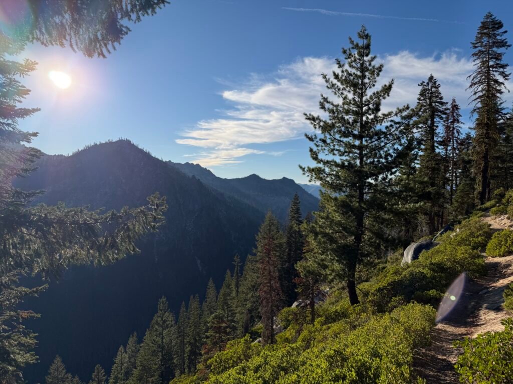

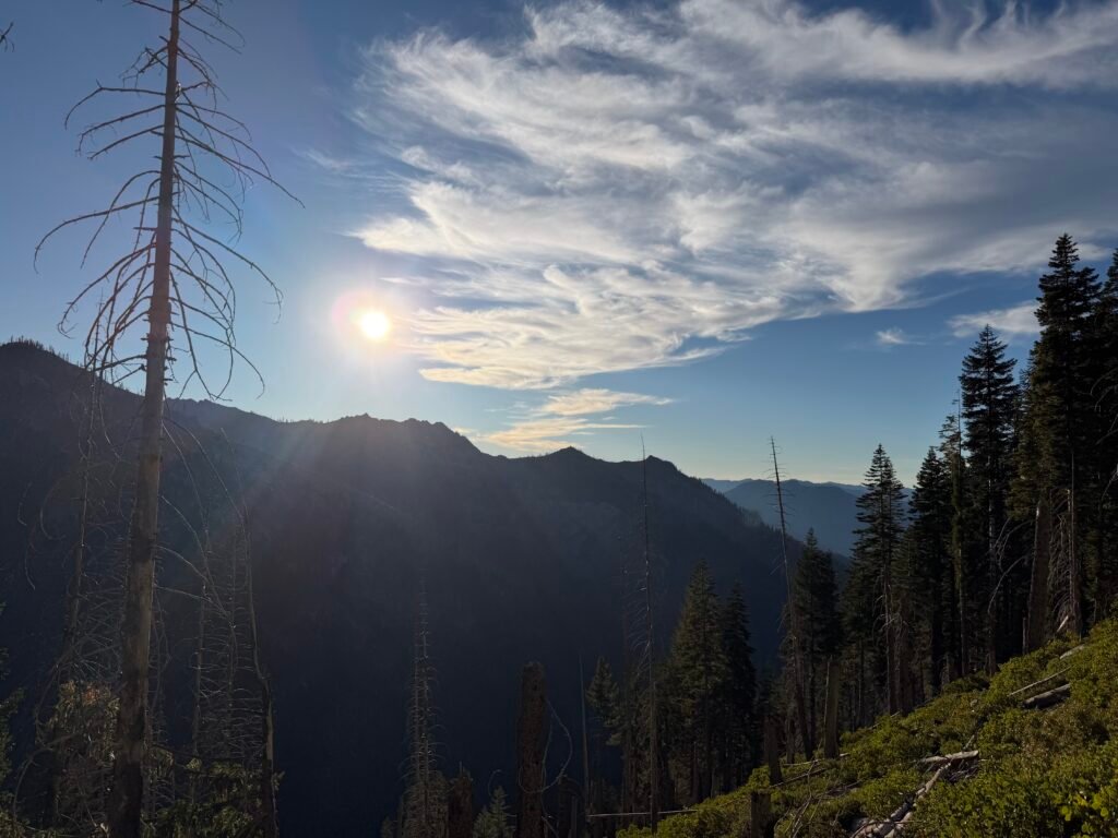
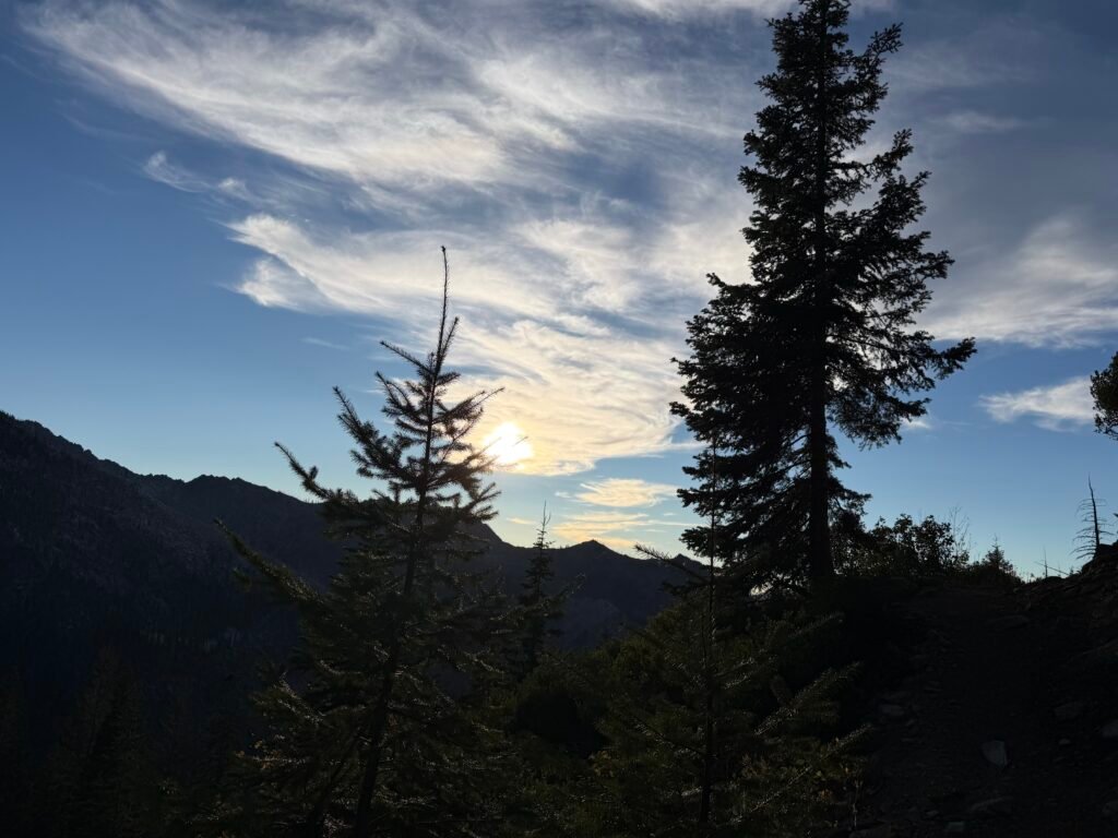
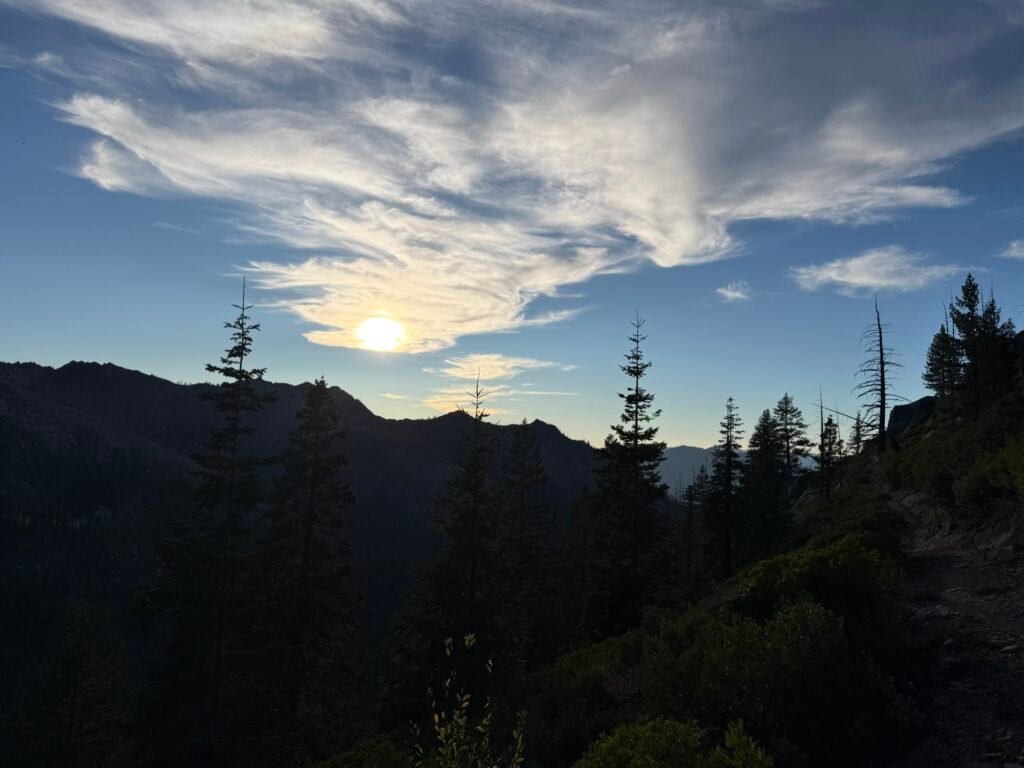
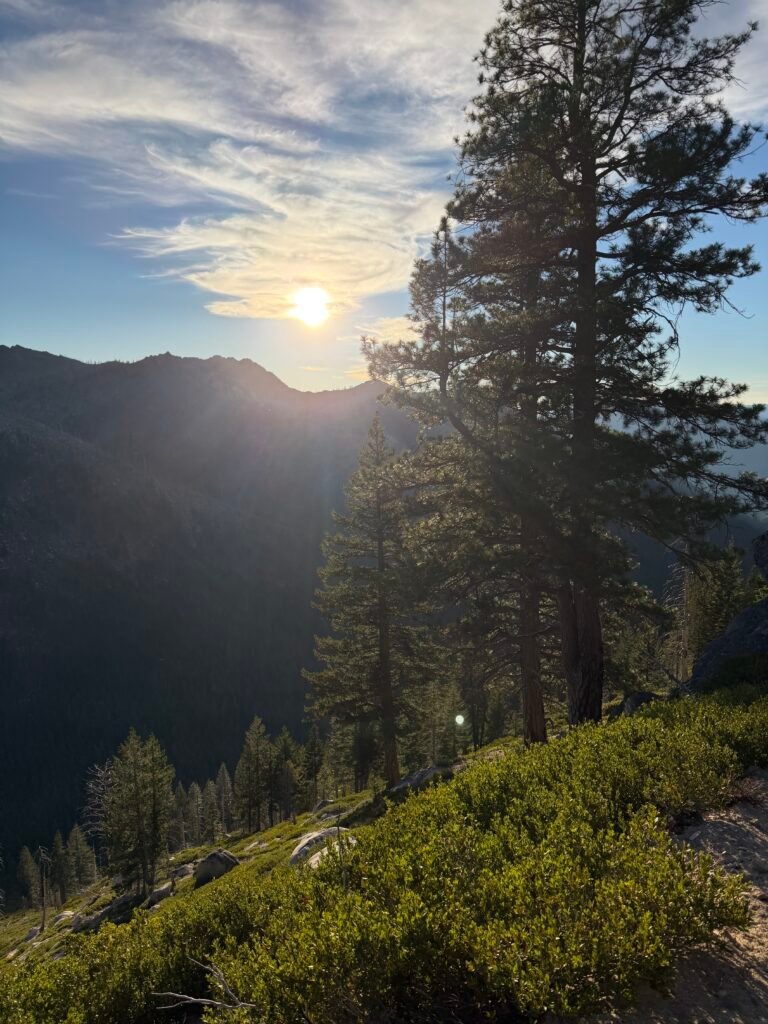

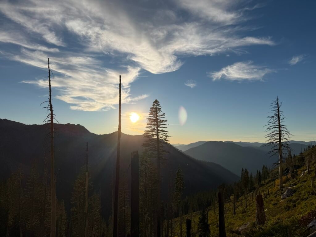

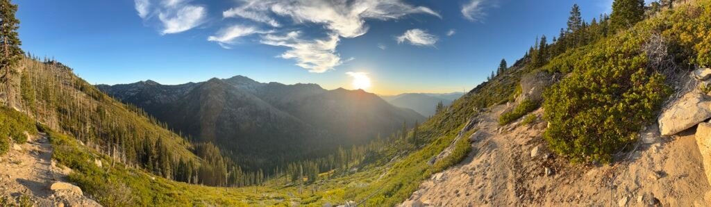

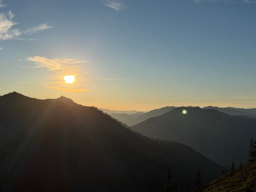
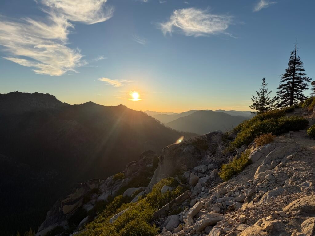

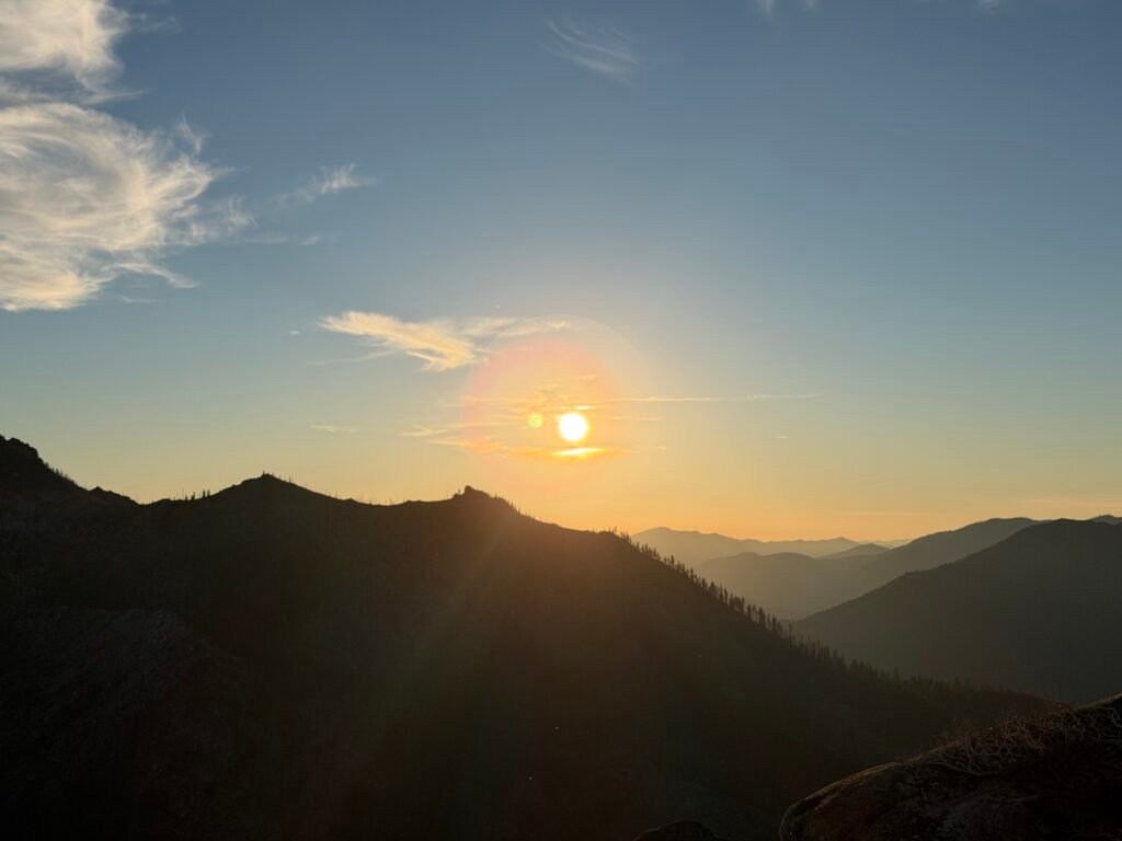
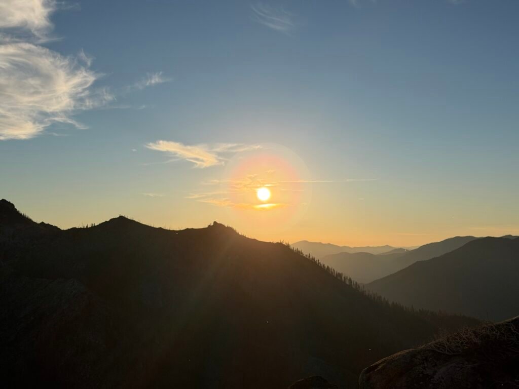
As the day went on and the sun started to get close to the horizon, I grew worried that I would need to finish hiking in the dark after the sun set.

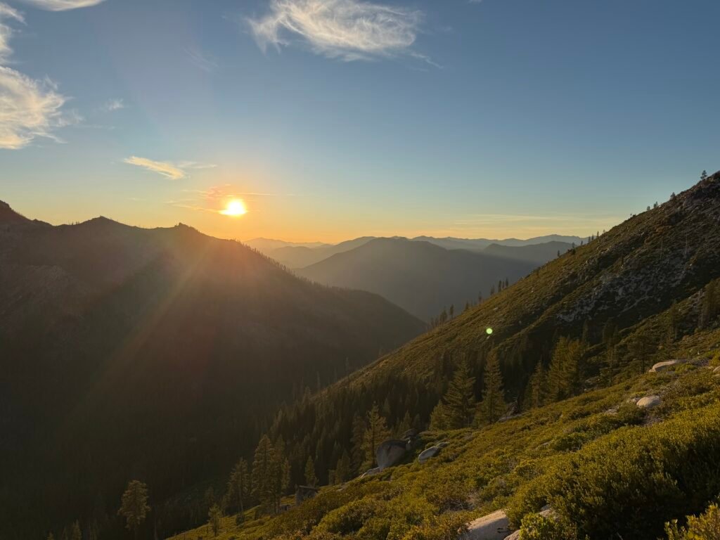
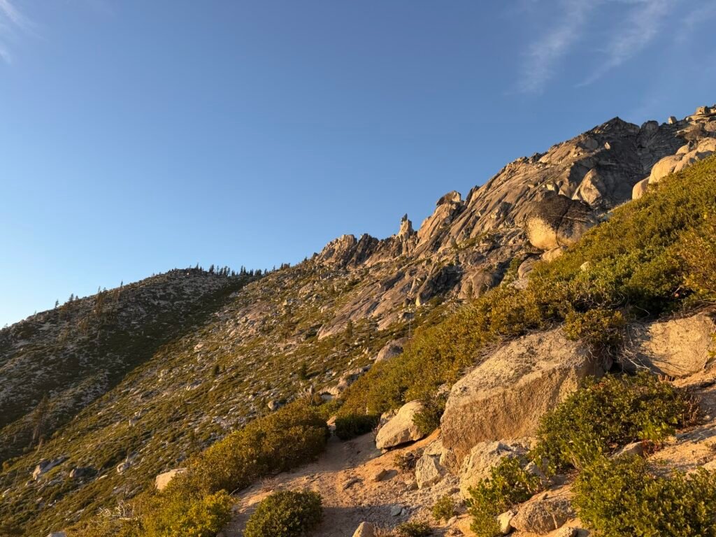
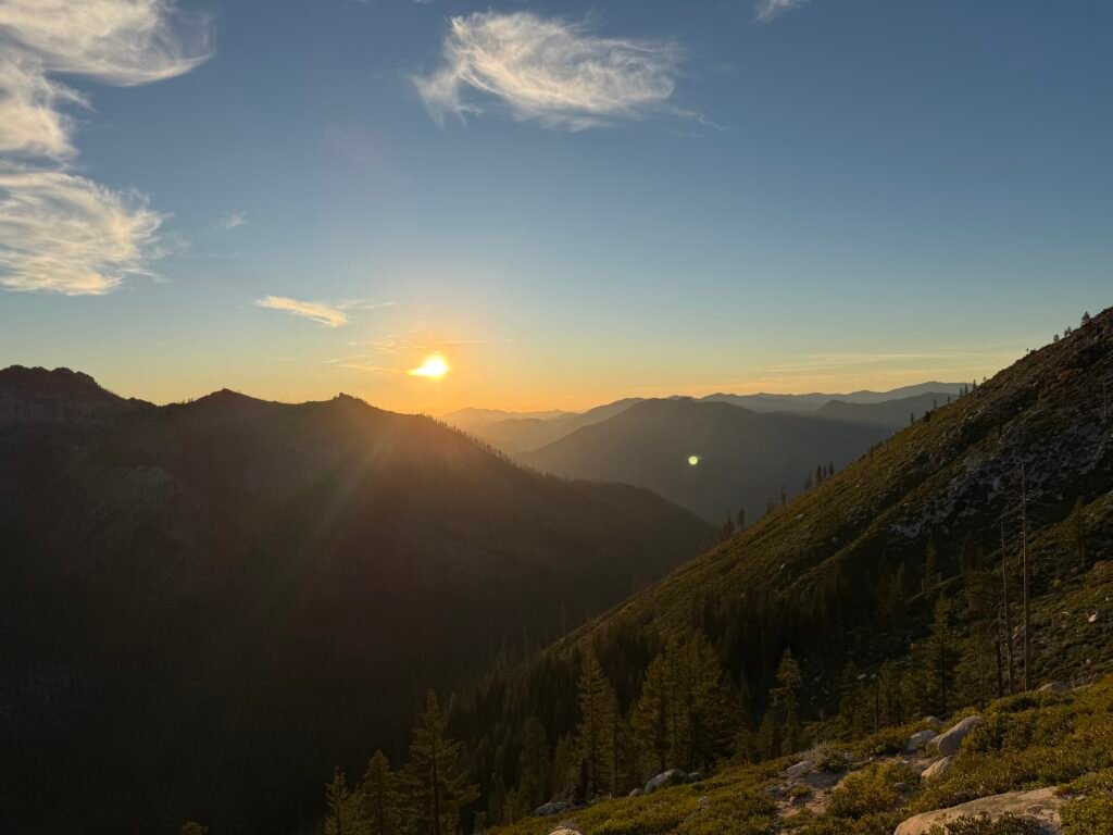


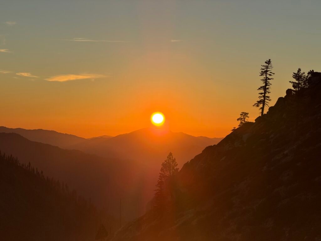
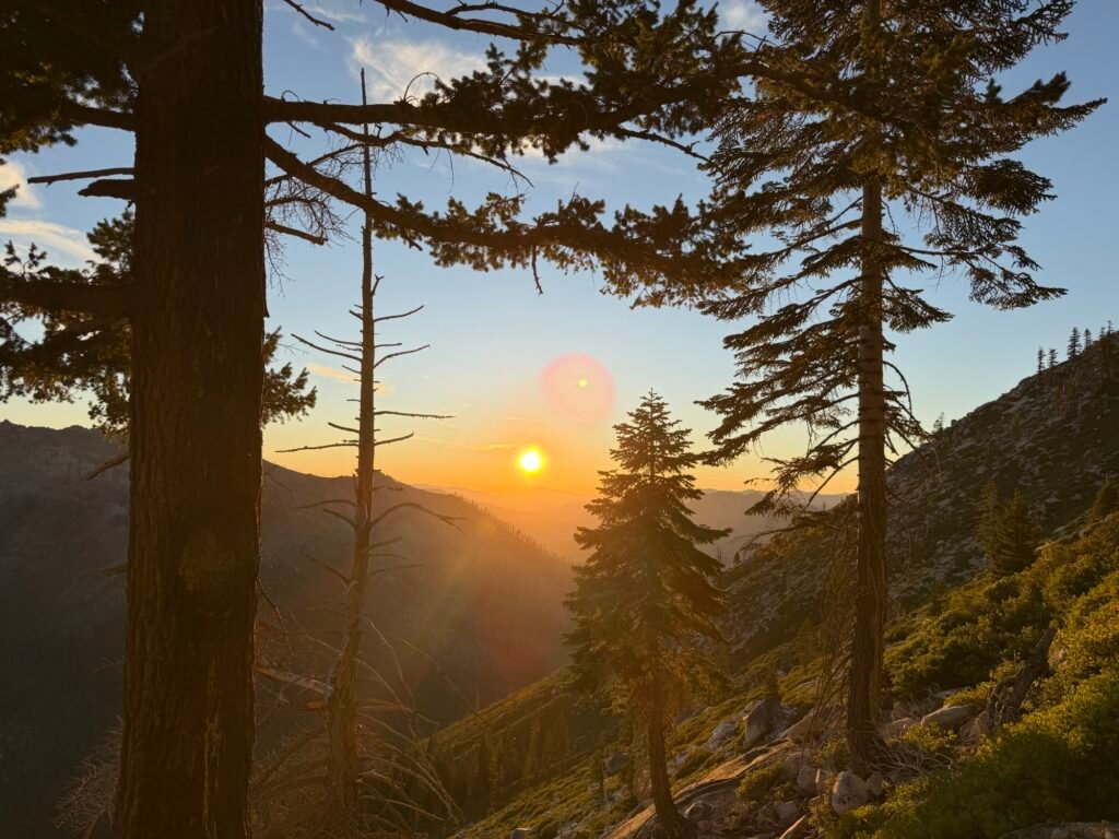
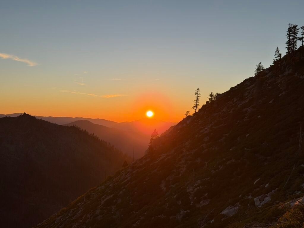
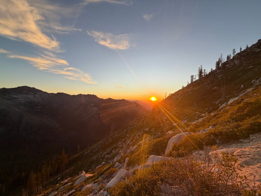
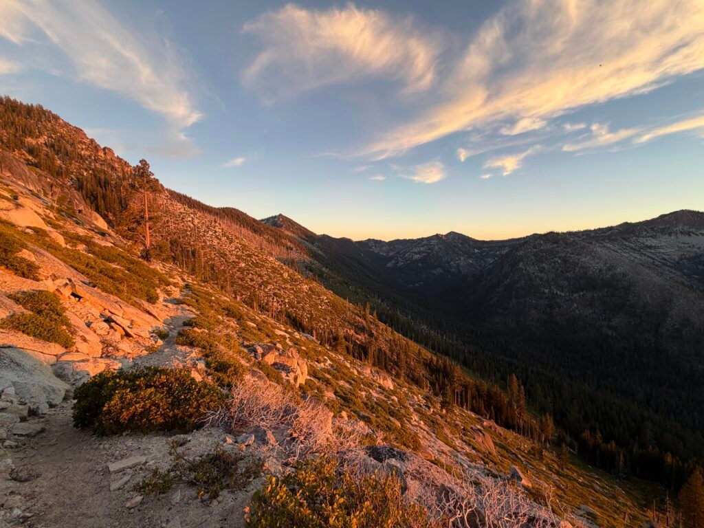

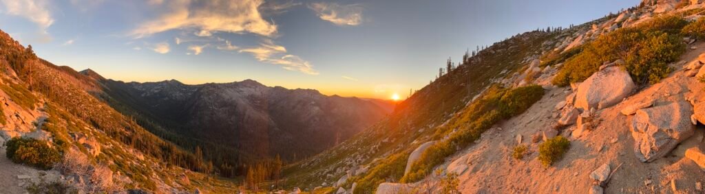
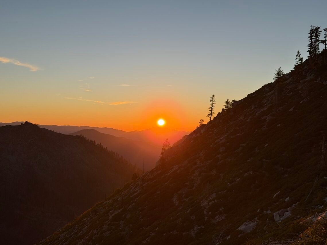
I was partially right. The sun set while I was still on the ridge, but it did give me some unique views and angles on the sunset.
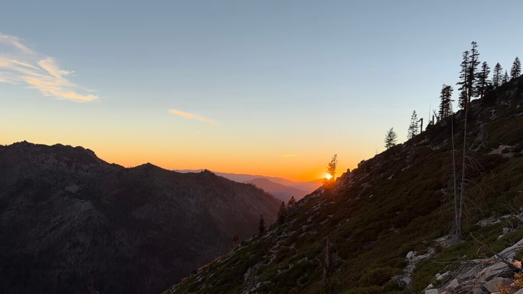
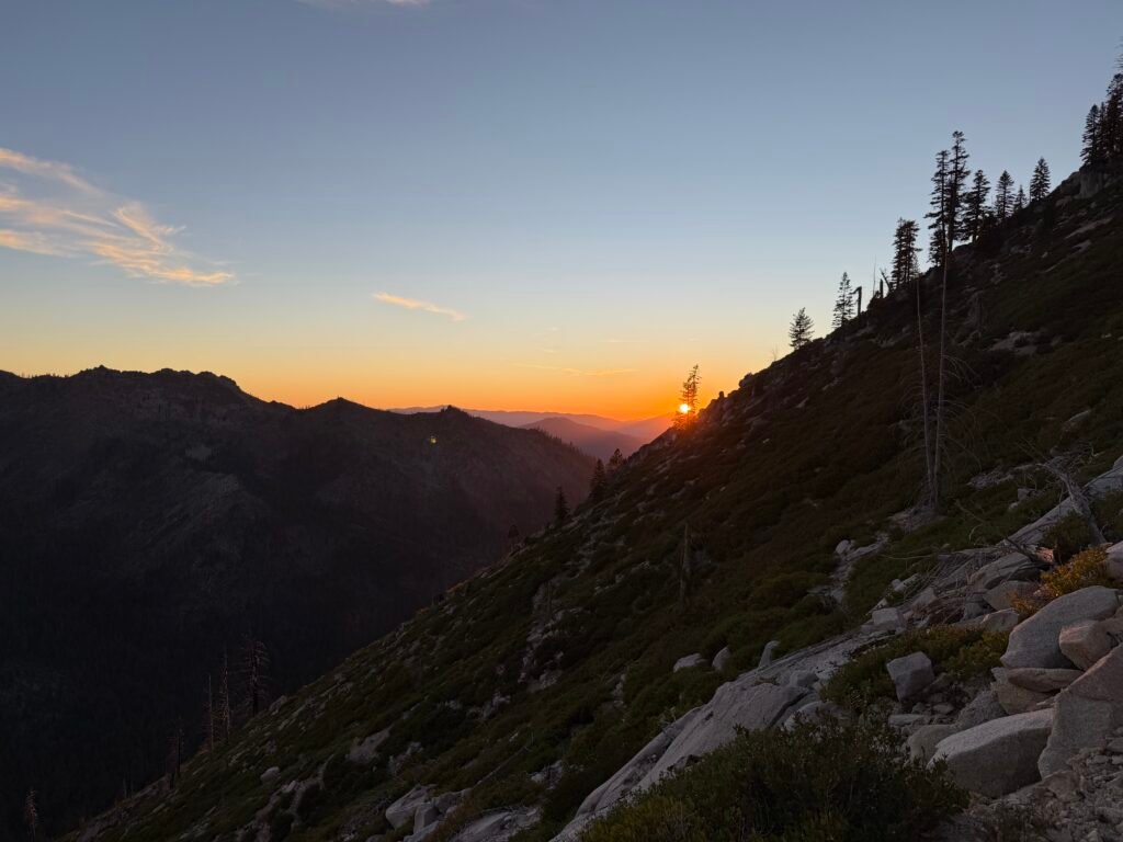

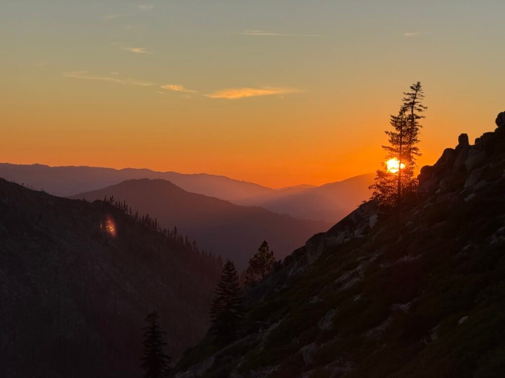

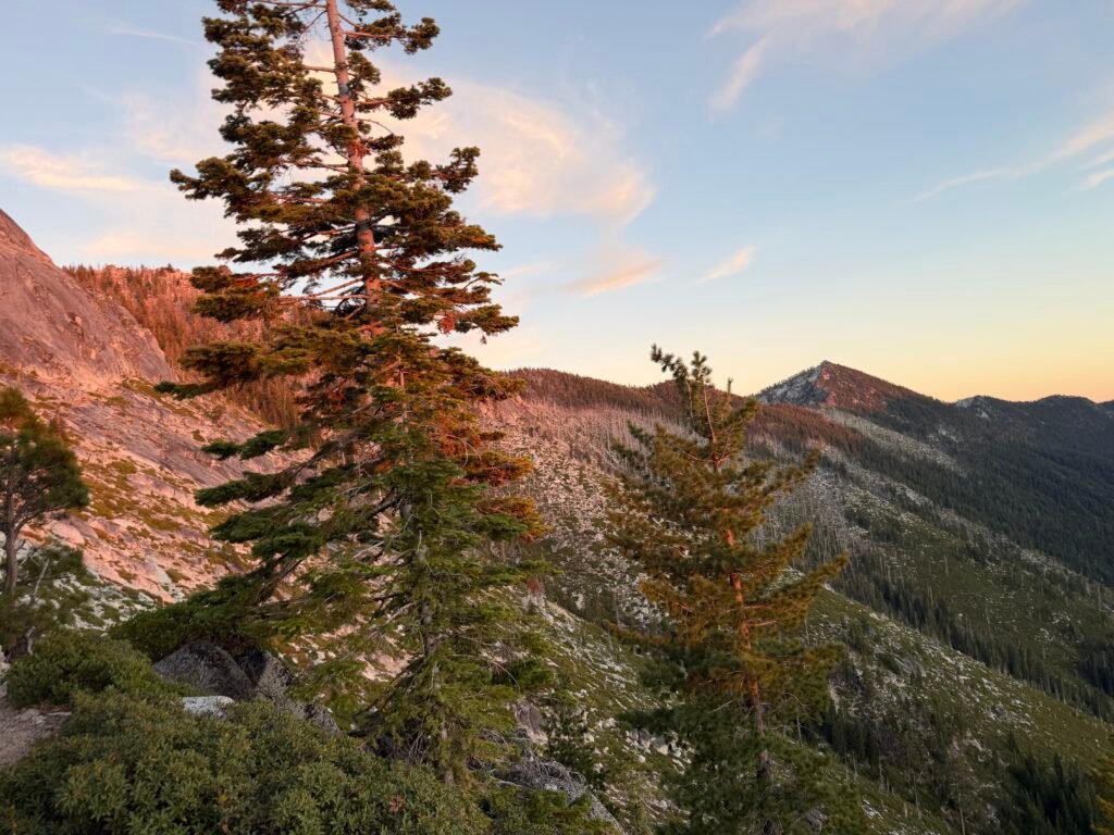

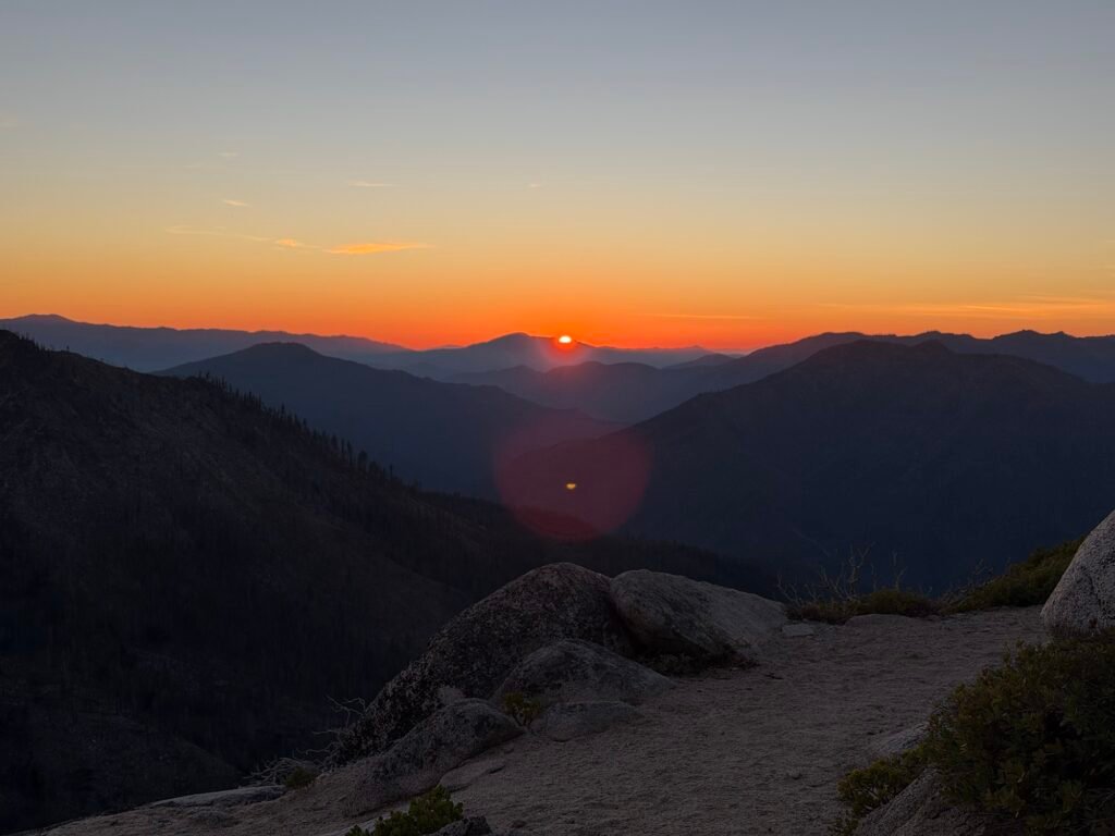
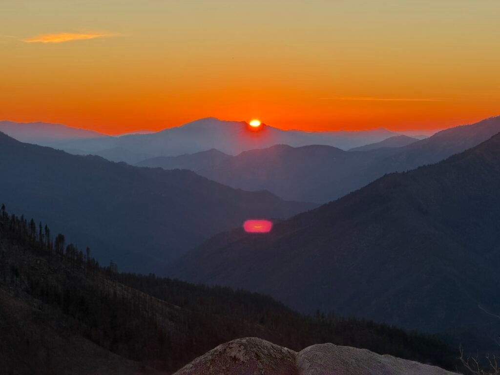
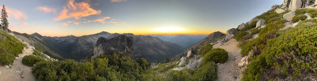
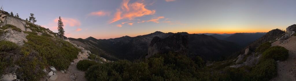
After the sun had set, I did have to walk with just the light of dusk.
Fortunately, after climbing up and over a saddle, I found a single campsite tucked into the trees.
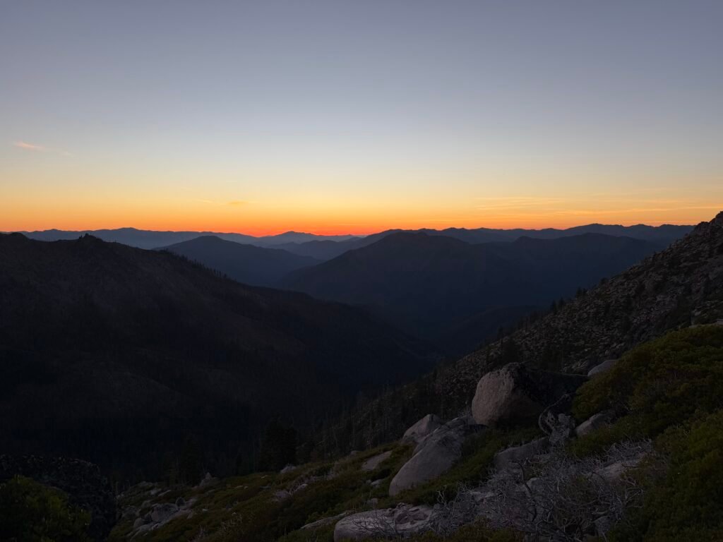

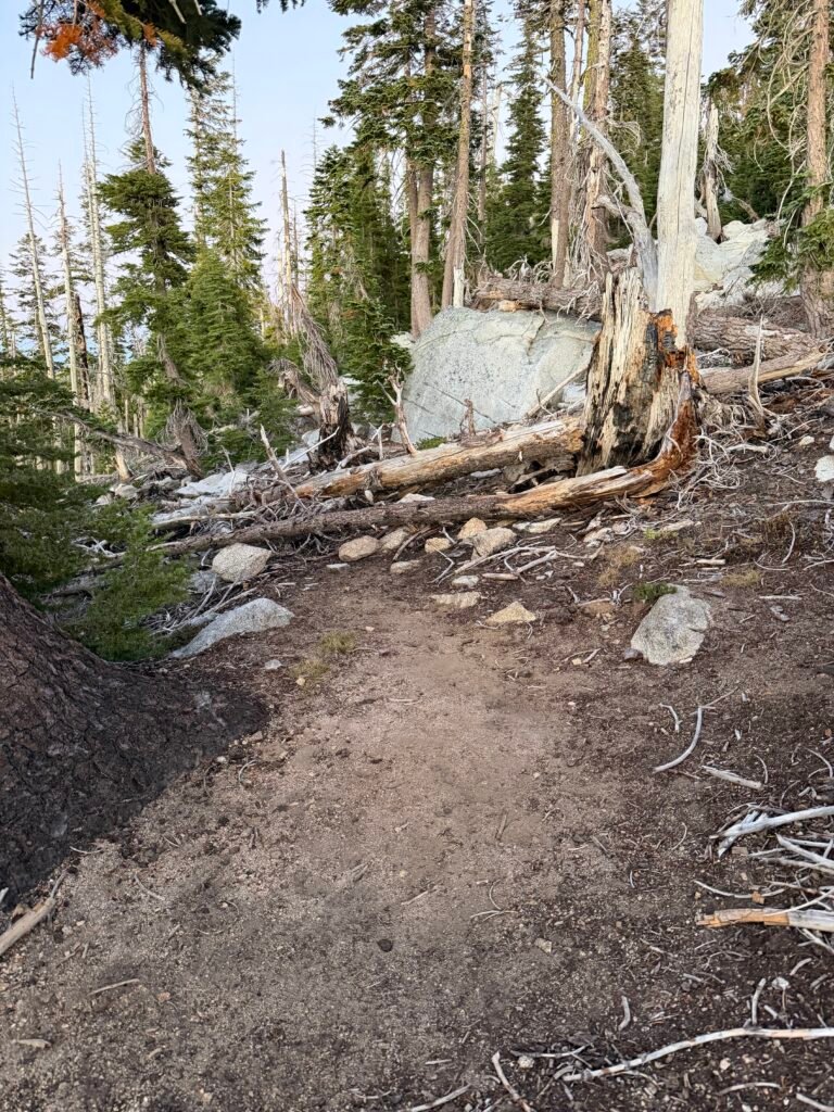

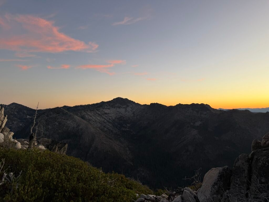
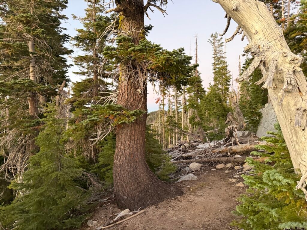
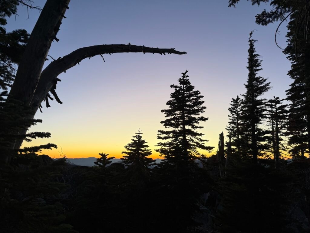
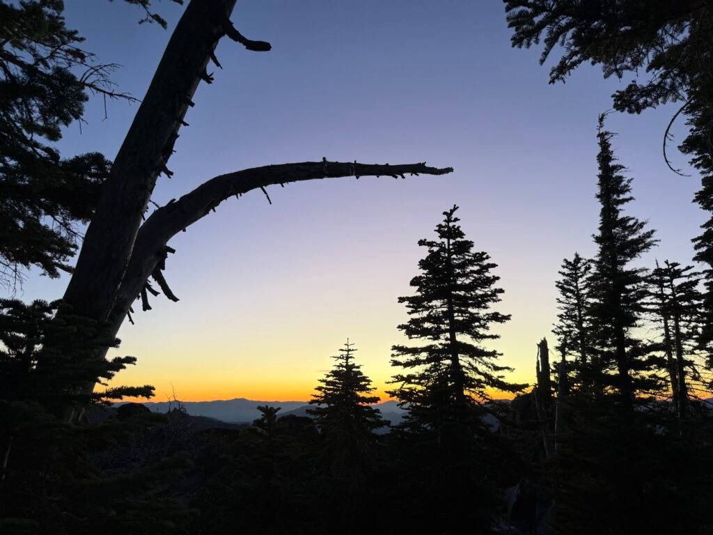
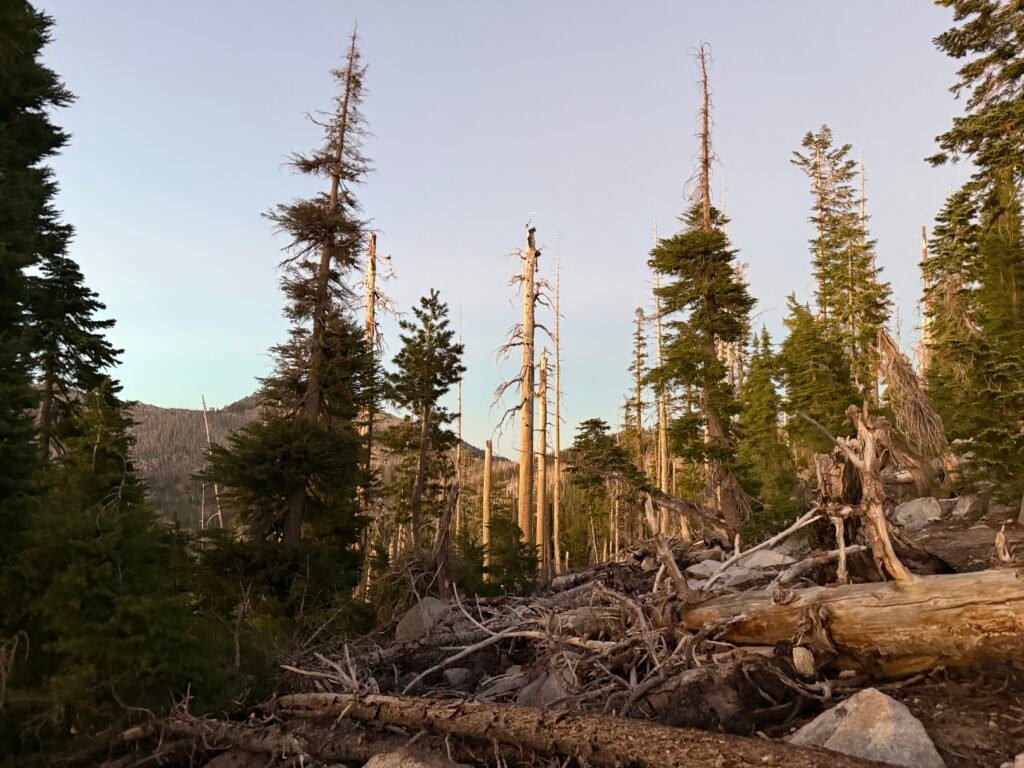
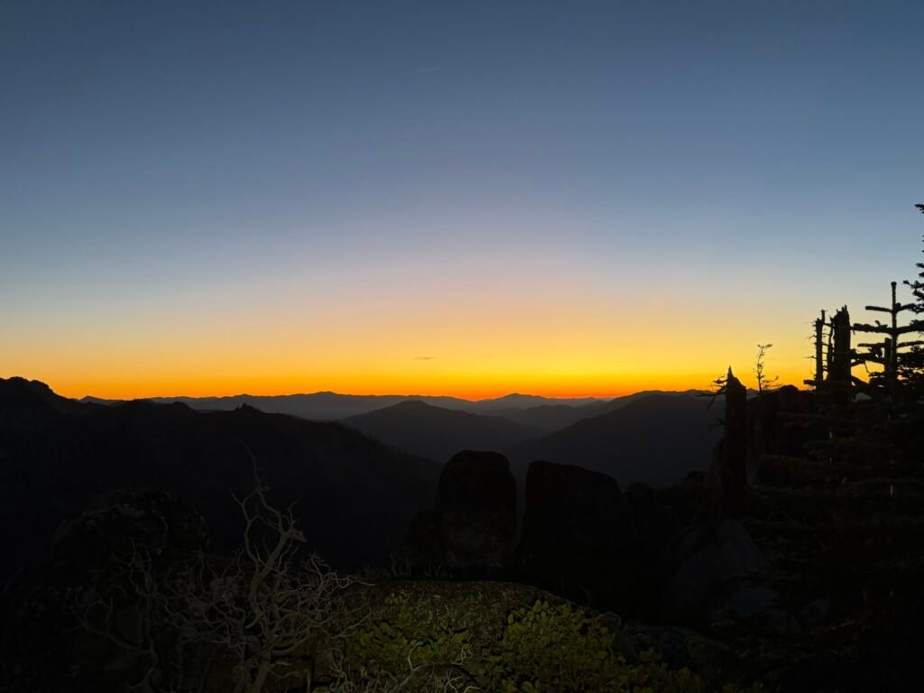
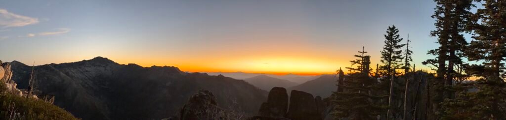
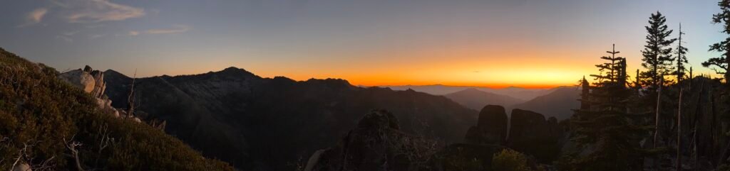
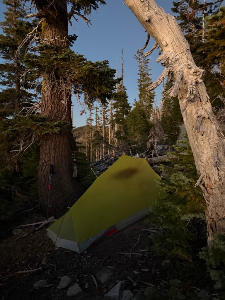
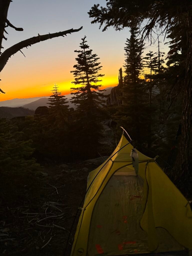
You even had some nice views. It was too bad I couldn’t found it sooner and seen the whole sunset from this camp site.
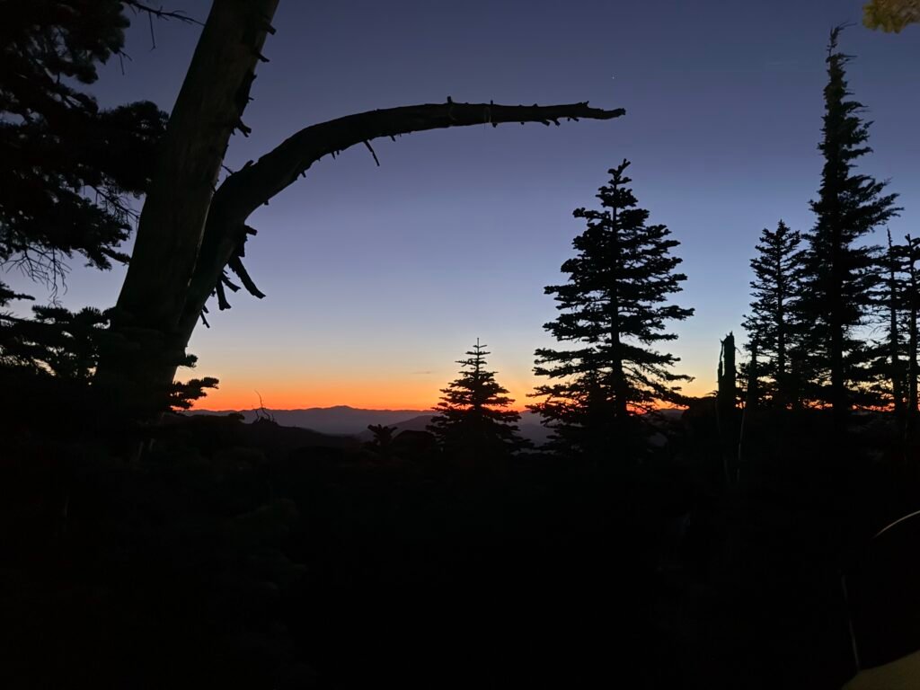
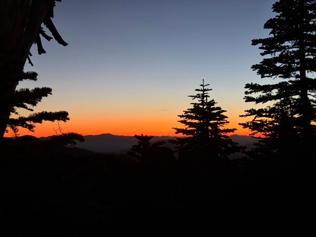
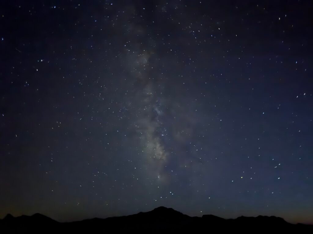
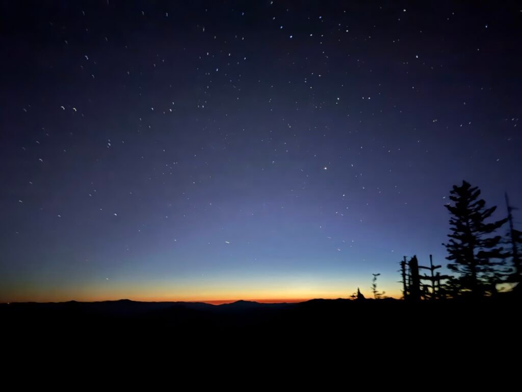
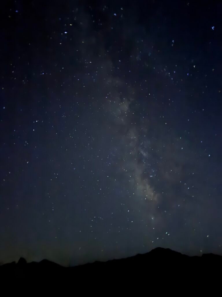
But I did enjoy the stars in the Milky Way I could see from there.
I think the new iPhone OS update that just came out (iOS 27) improved the night photos.

Mile 1578.3 to 1591.9 – 13.6 miles total hiked on PCT

Comments by WanderingJim
PCT Mile 1528 and then…
"Yes, got home safe, but got trail sick and wanted to get..."
PCT DAY 85 – CA Section H
"No cell service in many parts of the PCT. Not dead yet."
PCT or BUST!
"Yes, I’ll be going through there by early August"
JMT 2020 Day 3
"I'm afraid I have no idea. Not really a fisherman, so don't..."
JMT 2020 Trek Day by Day
"Yeah, but with 9,000 pictures, it's hard to label each one..."