
Tuesday, May 12th, 2026
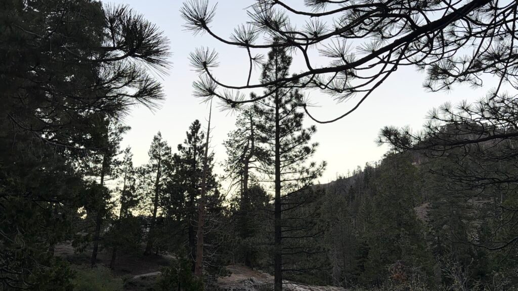
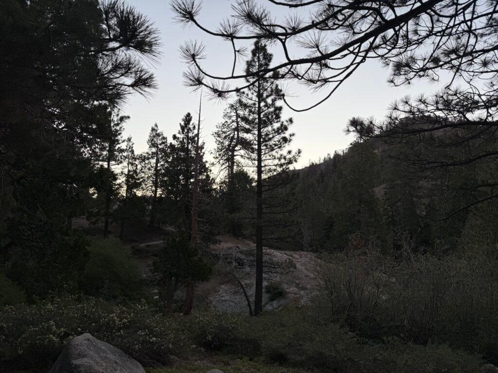
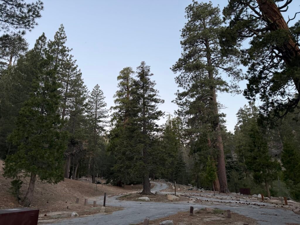
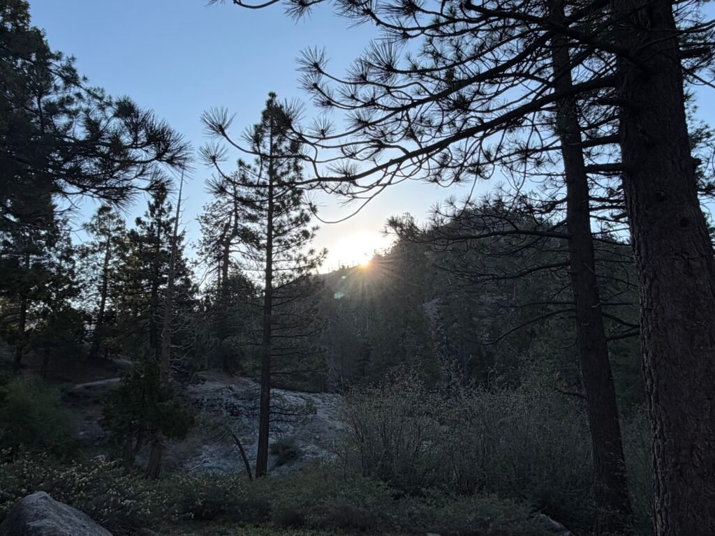
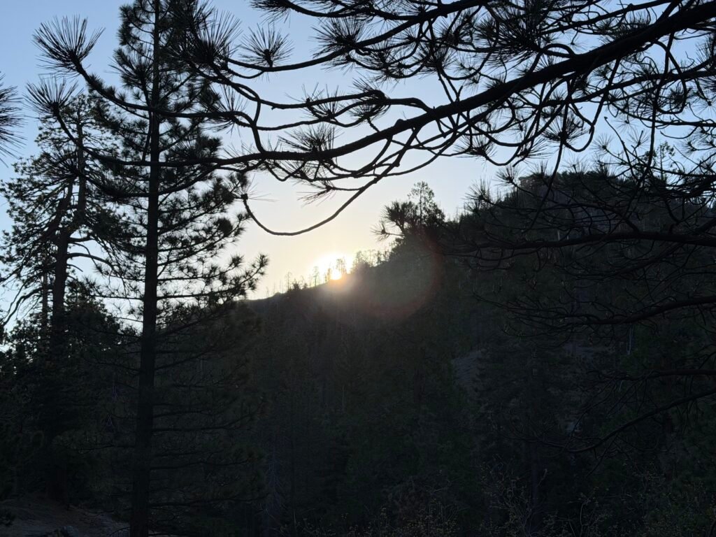
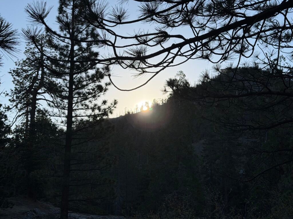
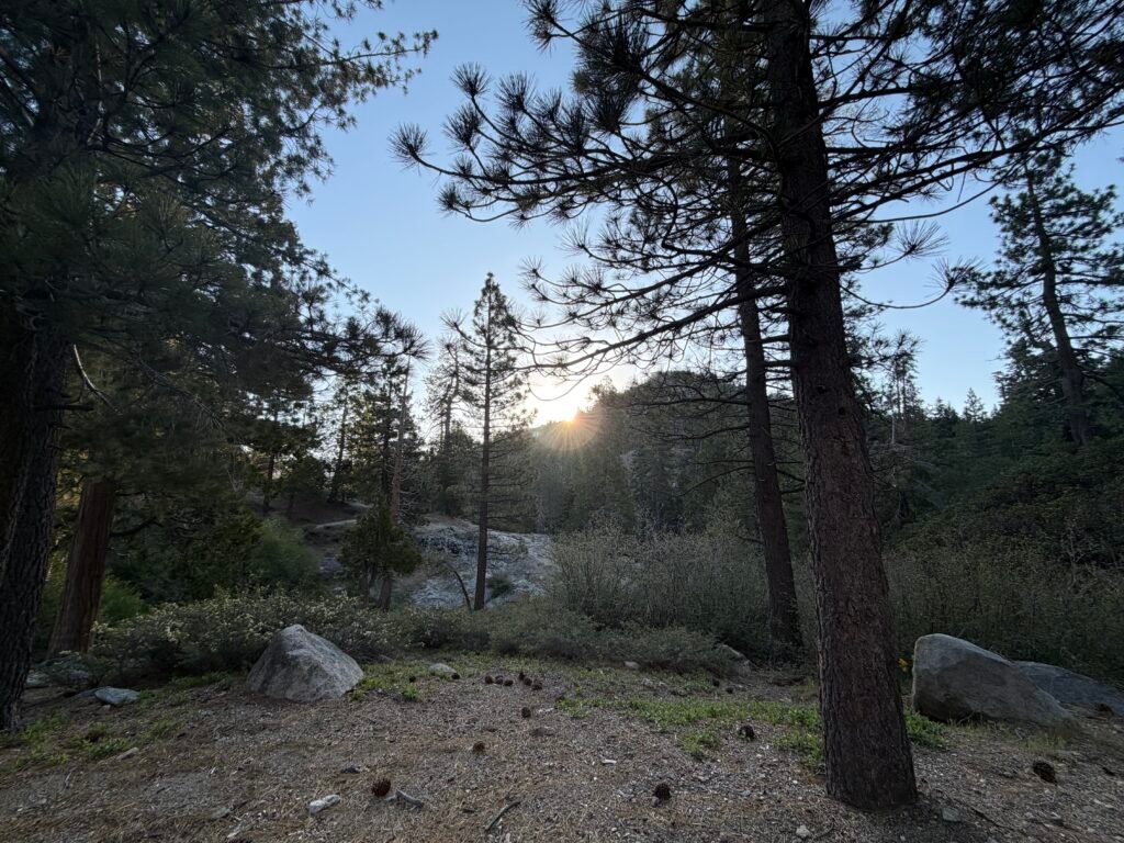
Morning came and with no reason to dawdle at the campground, I packed up and hit the trail that would get me back to the PCT trail.

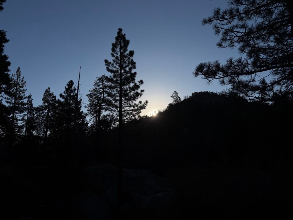
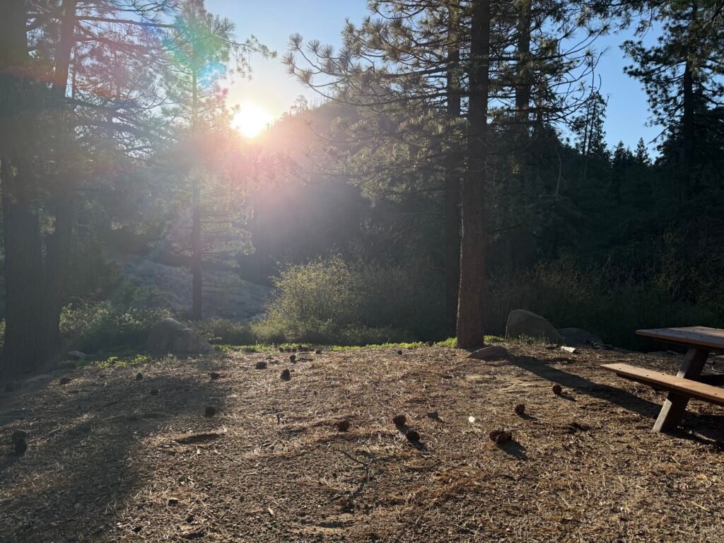
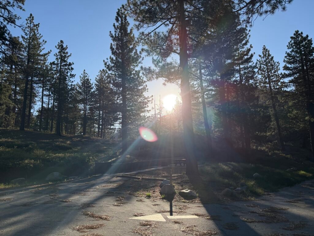
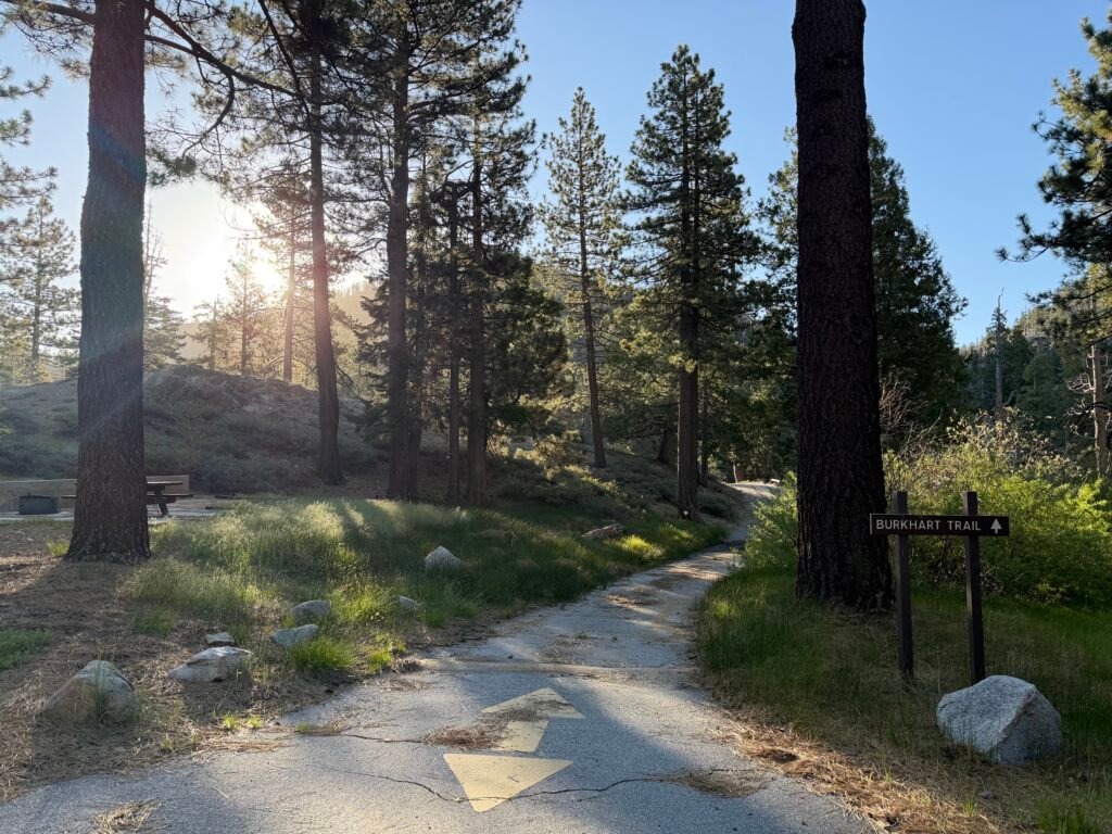
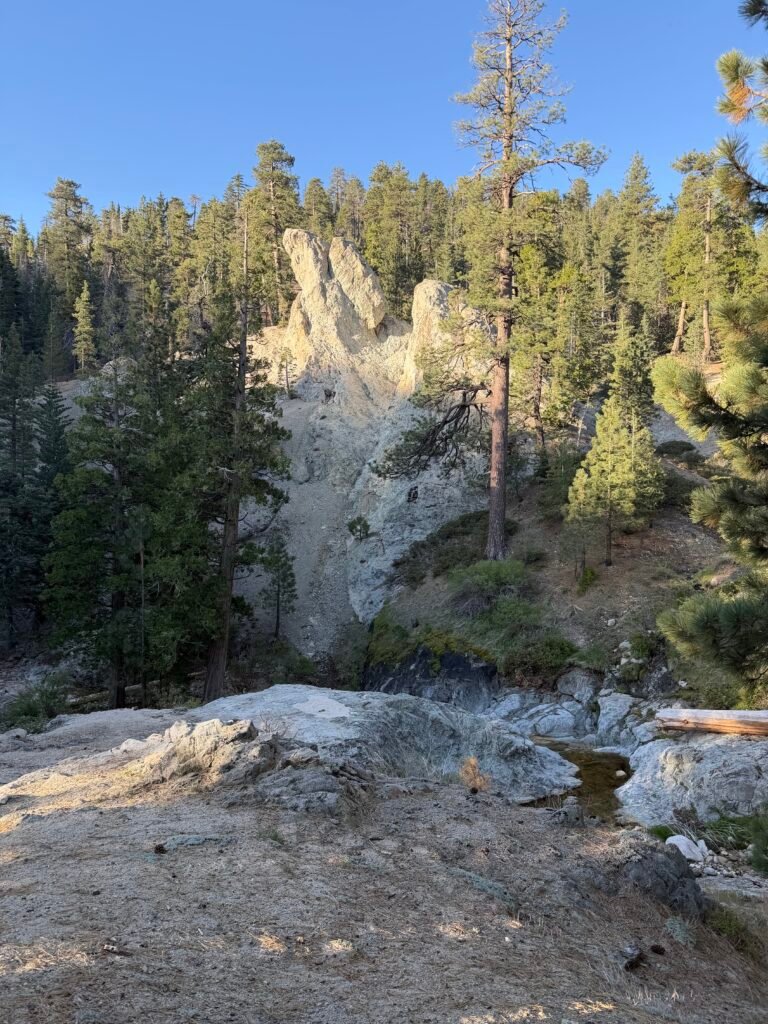
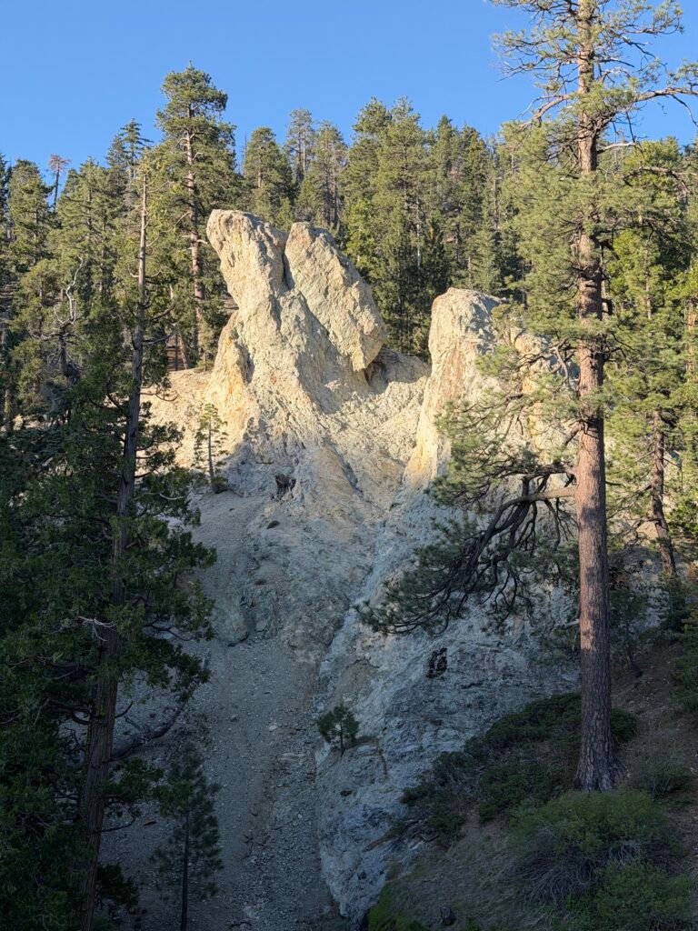
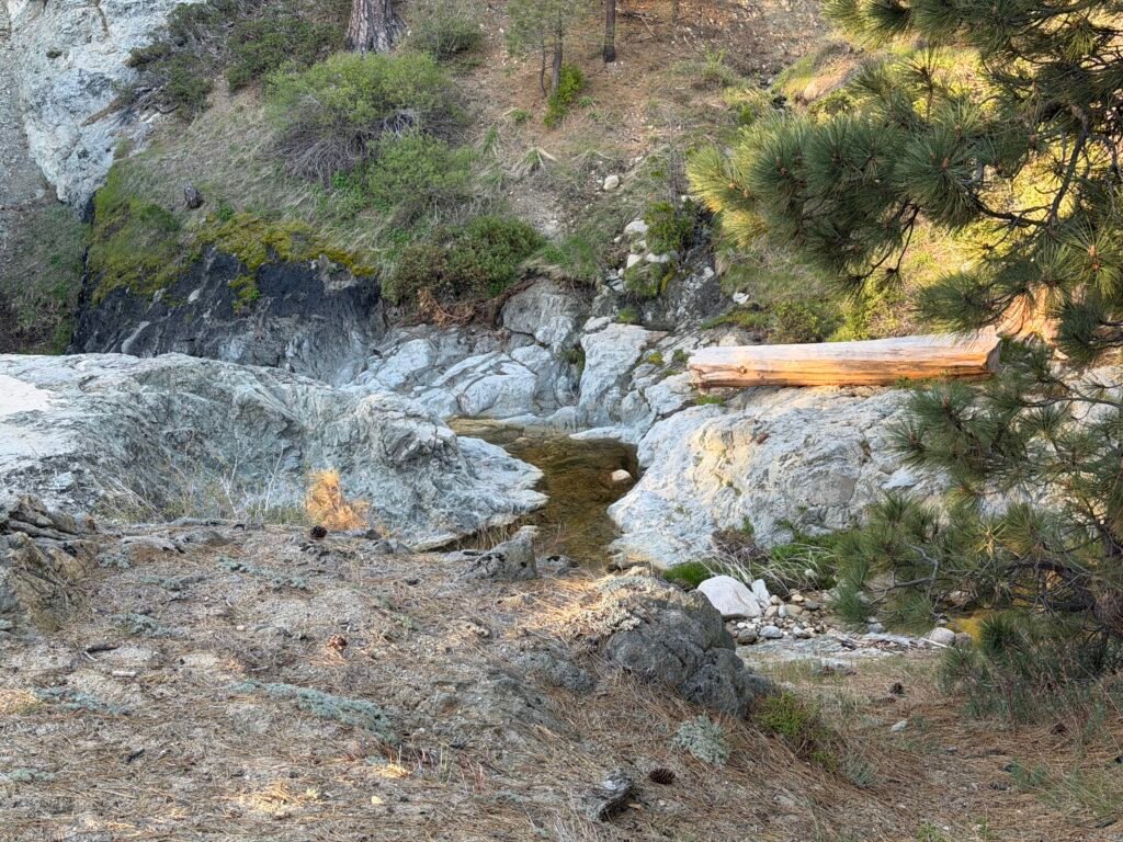
–
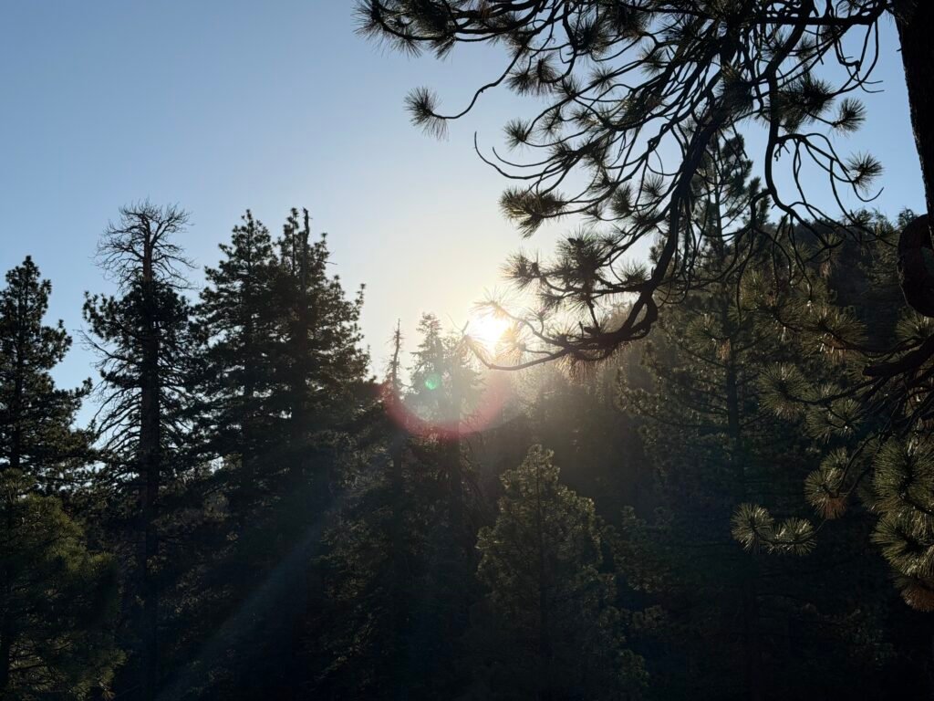
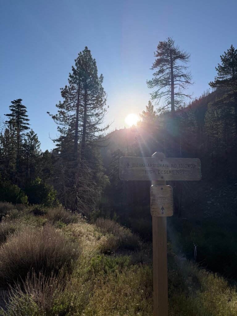

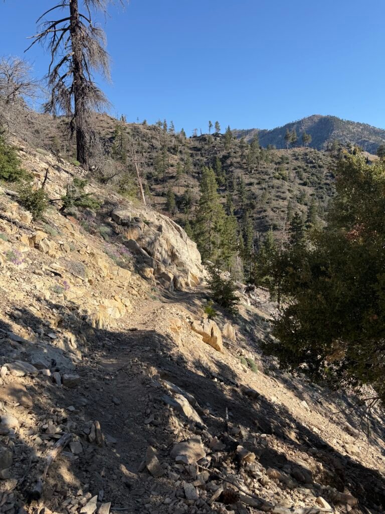
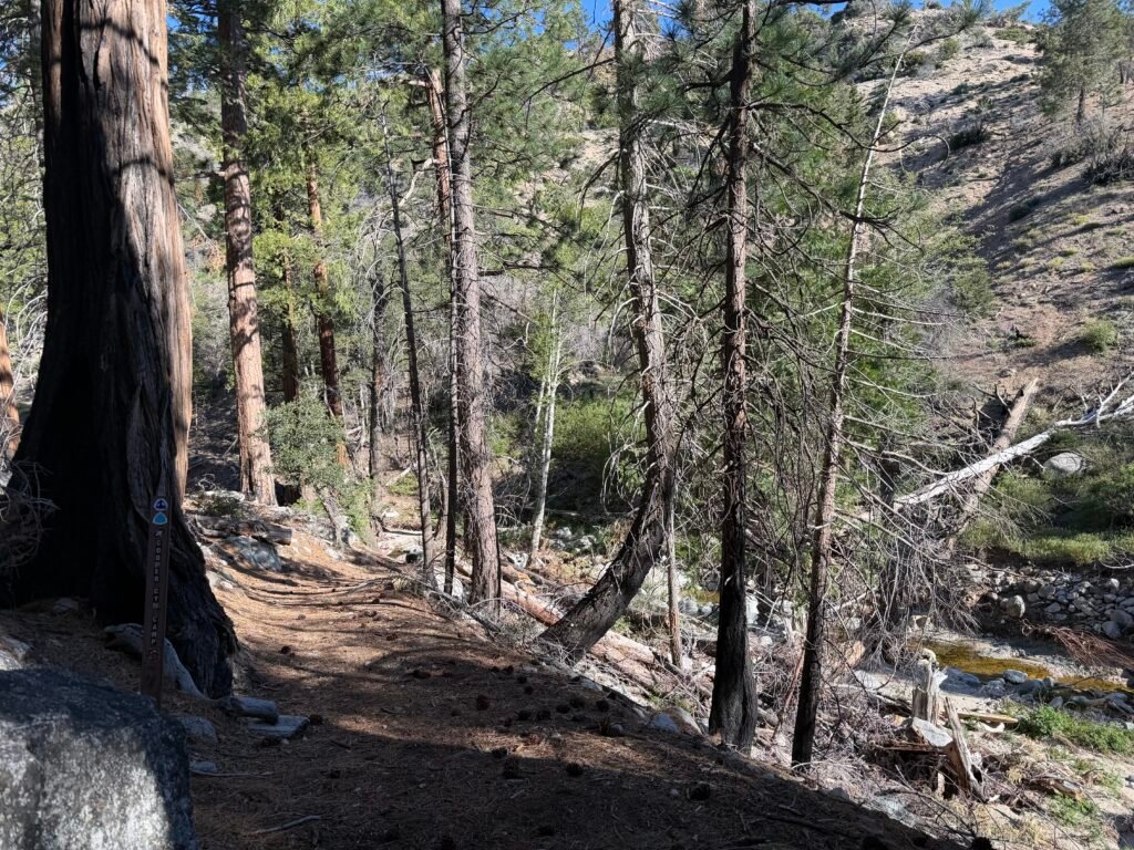


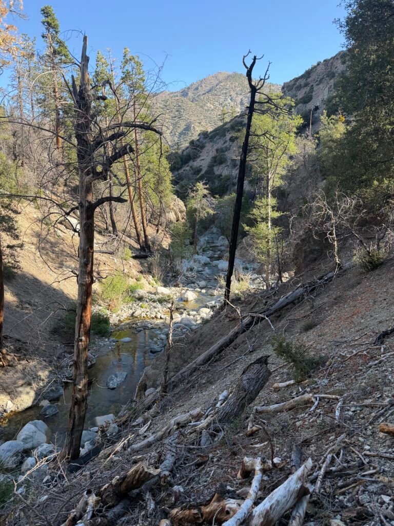
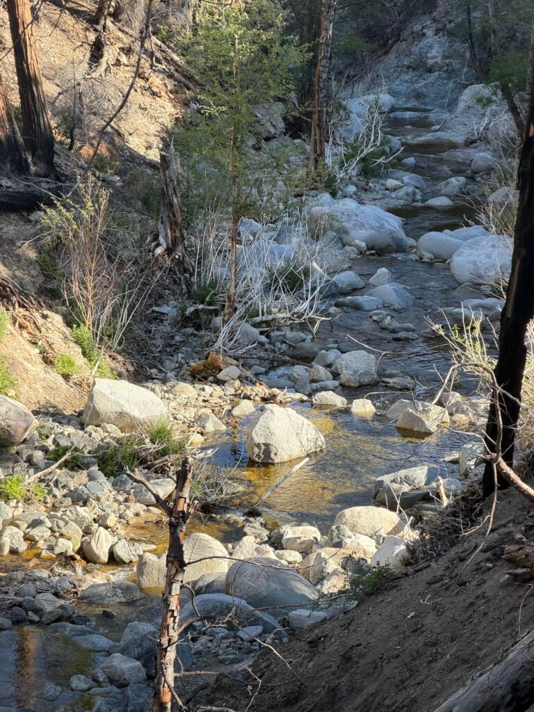
Upon reaching the PCT trail, I turned SOUTH instead of NORTH.
Why? Because the actual closed part of the PCT ended up about a quarter mile north of where the detour trail rejoined the PCT. Have to hike every foot of the PCT that I can to stay honest (with myself, mostly).
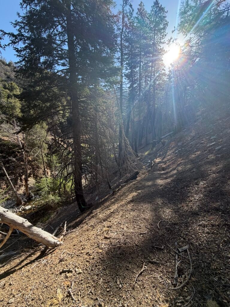
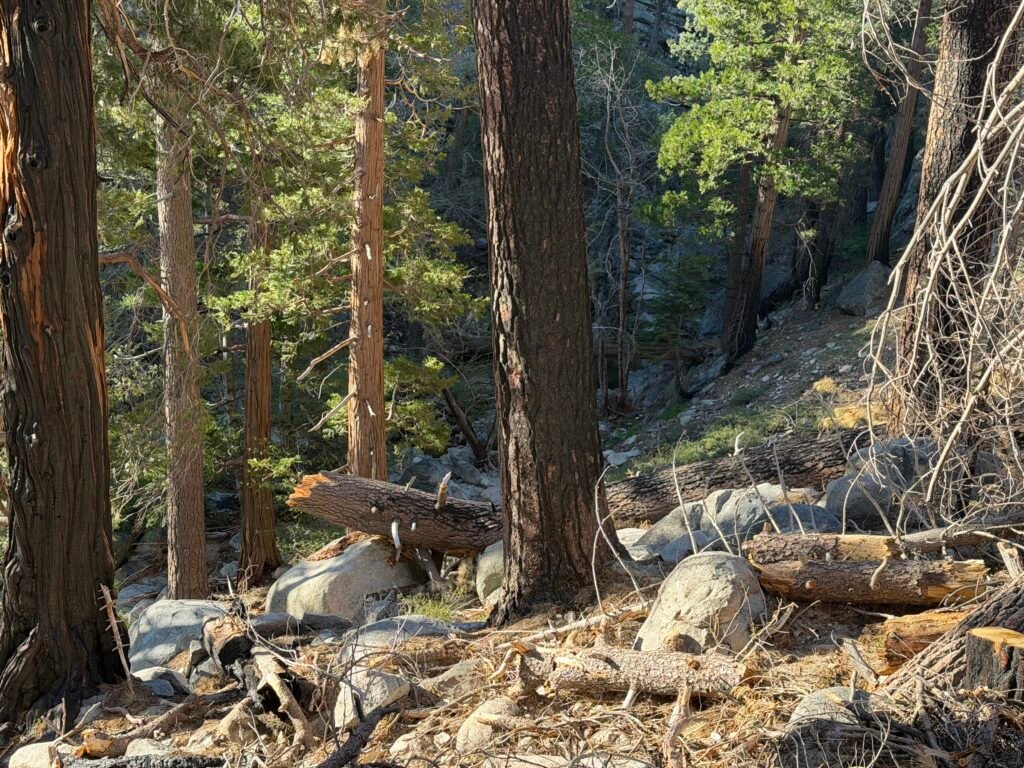
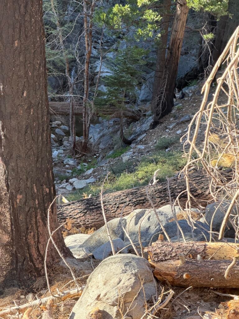
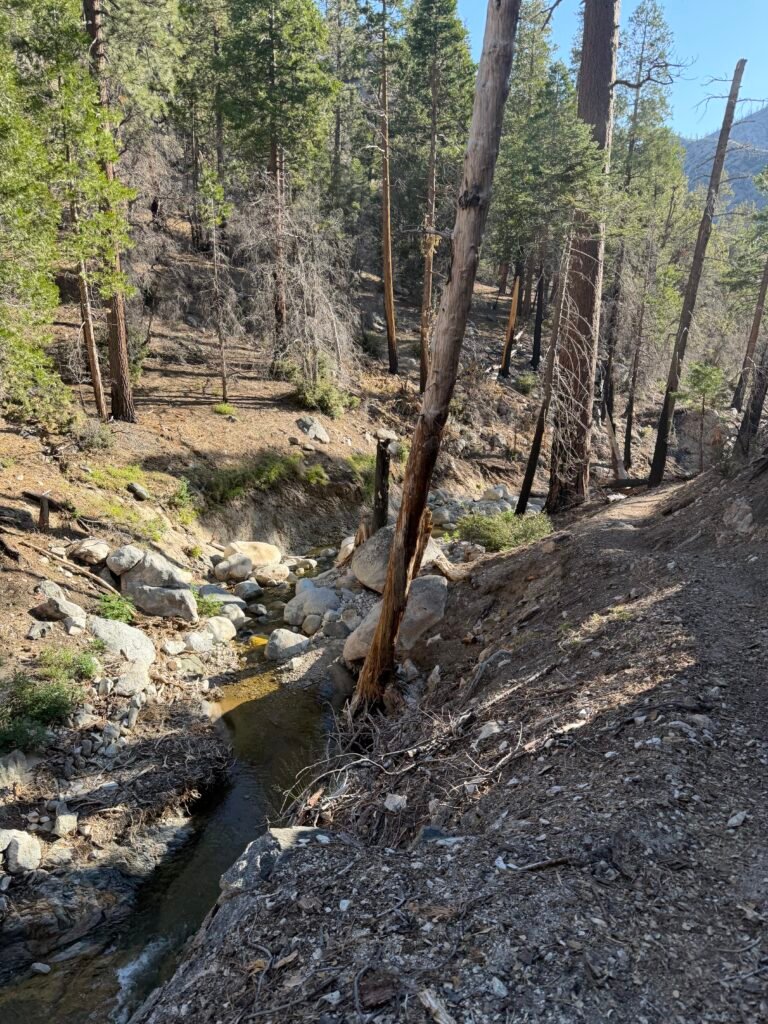
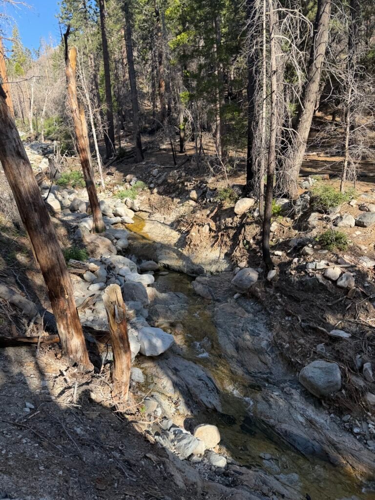
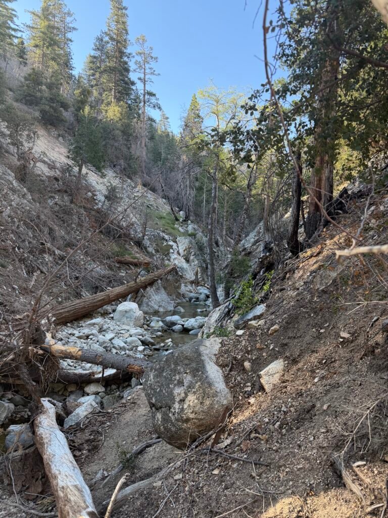
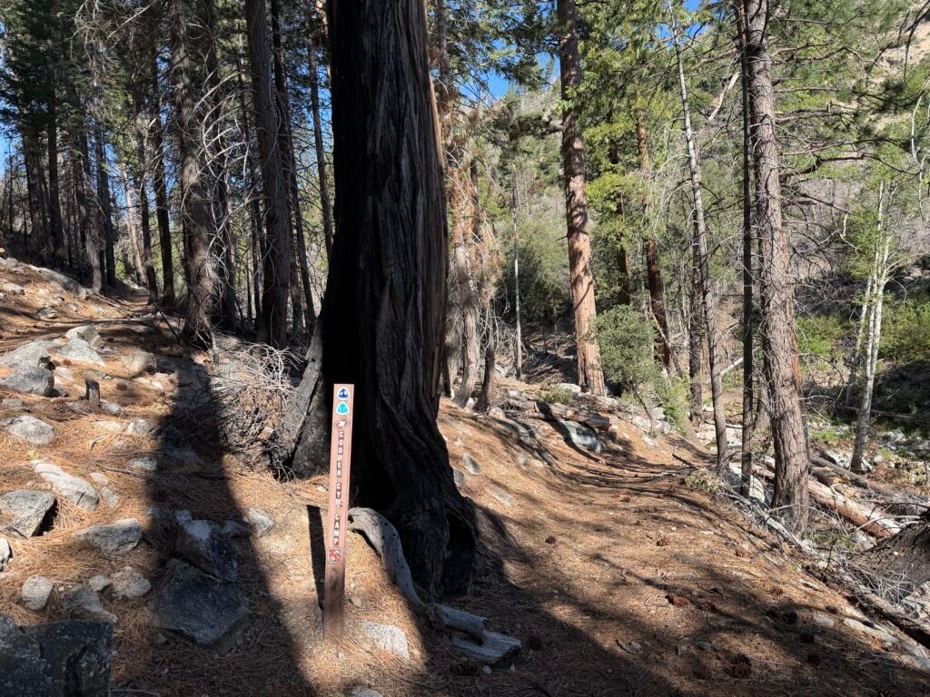
The trail ran alongside the Cooper Canyon Creek.
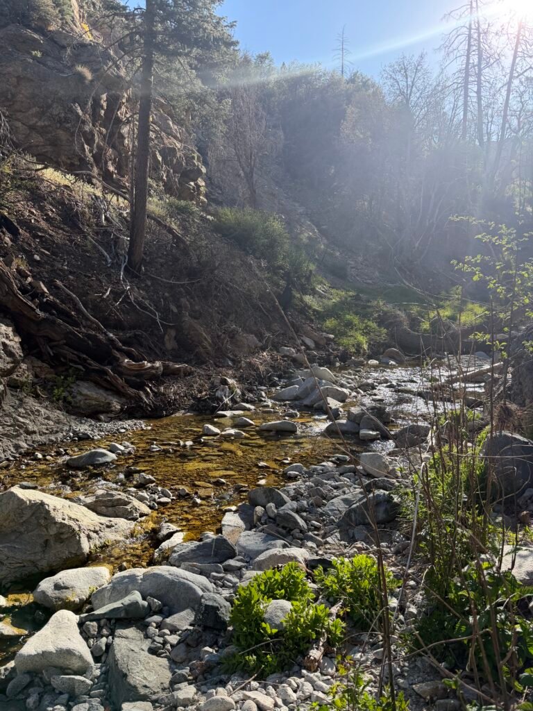

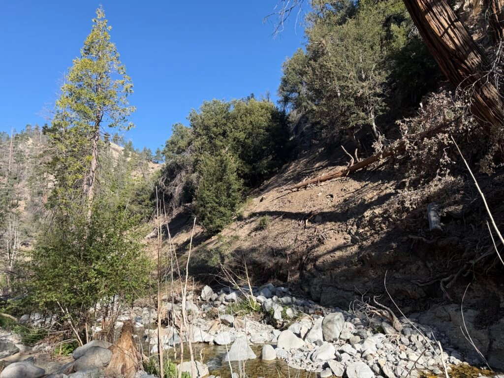
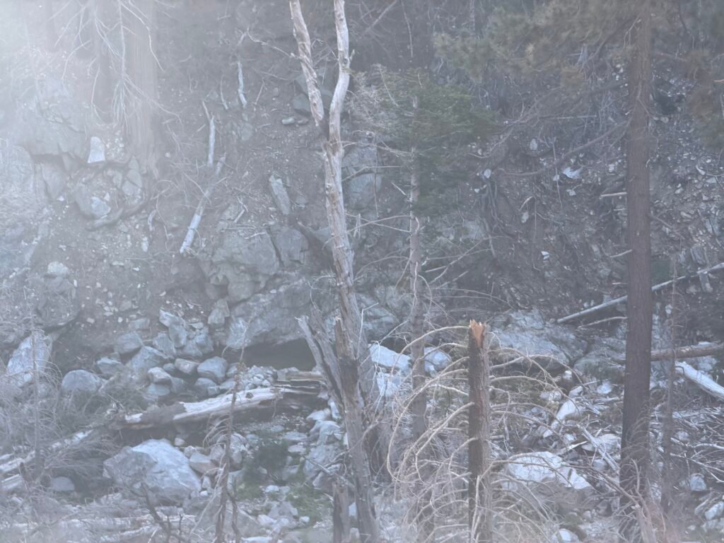
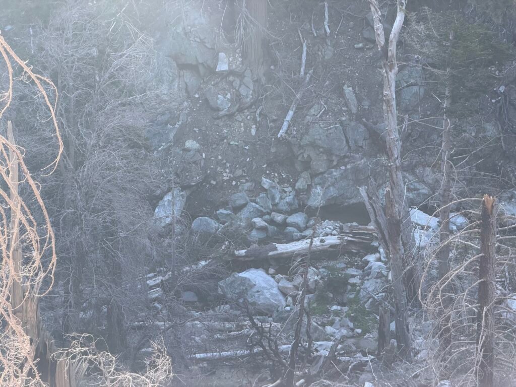
After a short hike, I reached the point at which the PCT was closed on the North side. By the look of it, the lack of use and maintenance made the trail ahead barely visible.
Another good reason NOT to take the original trail in this closure area.
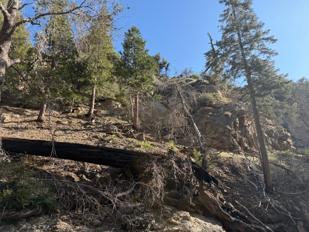
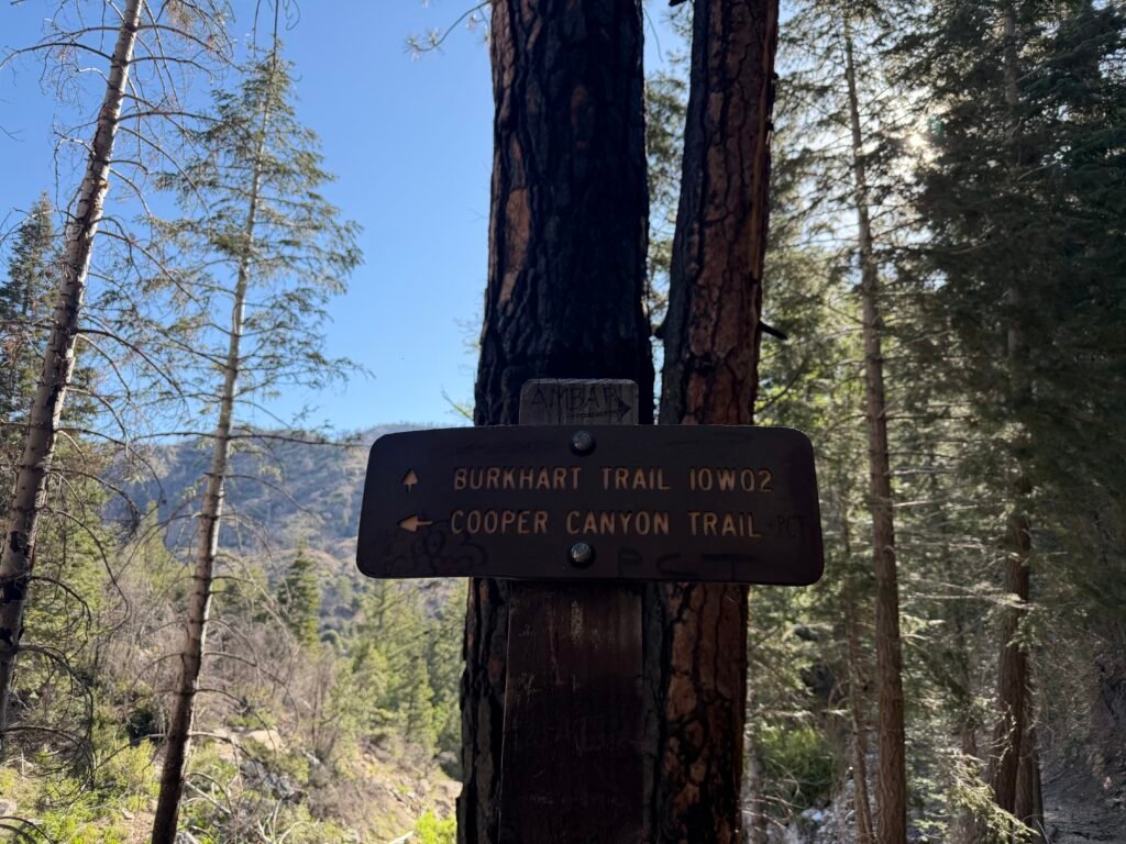
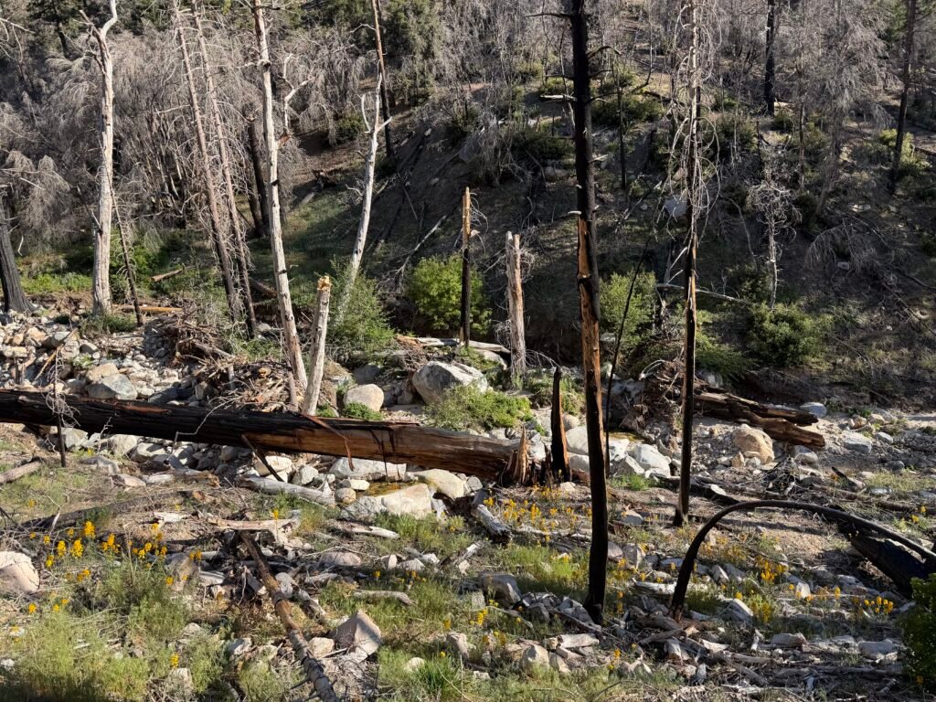
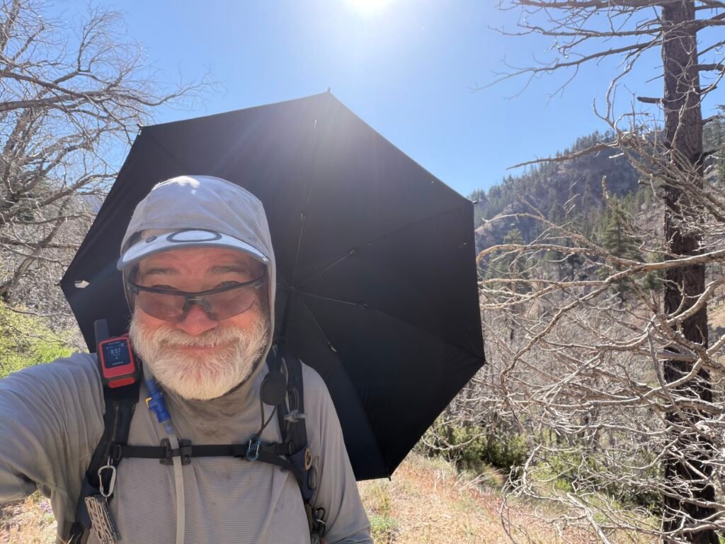
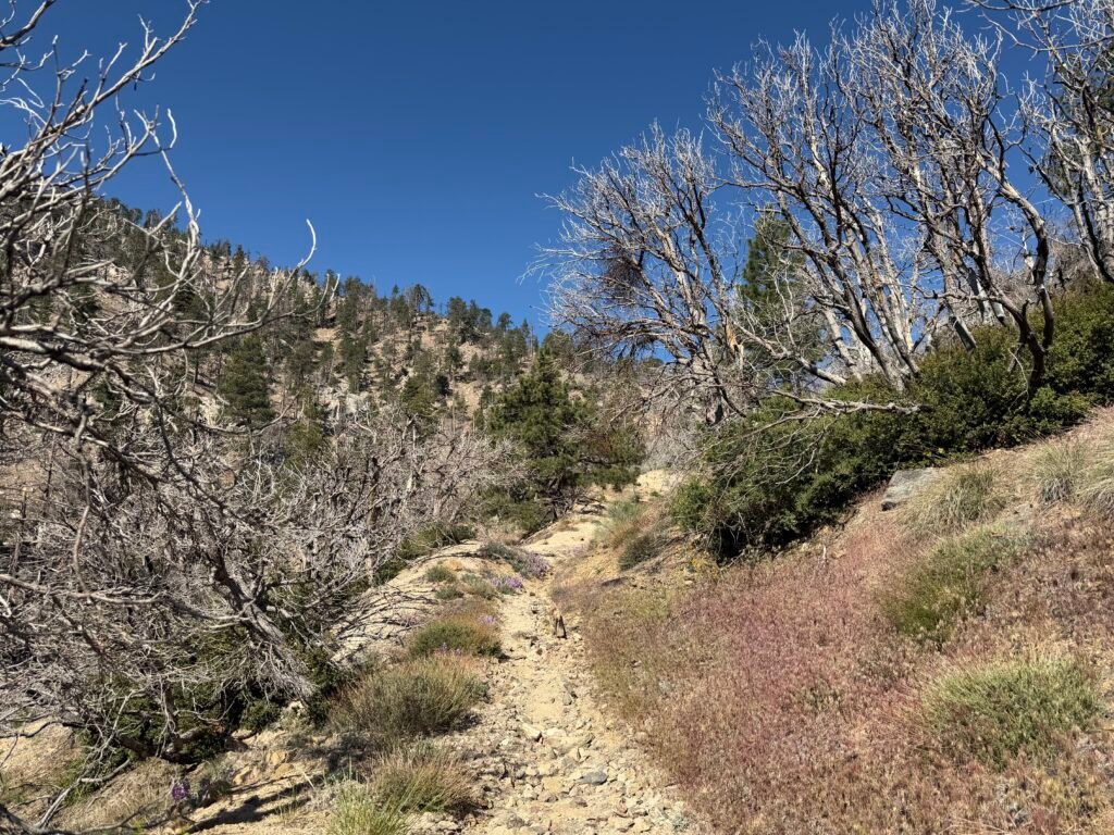
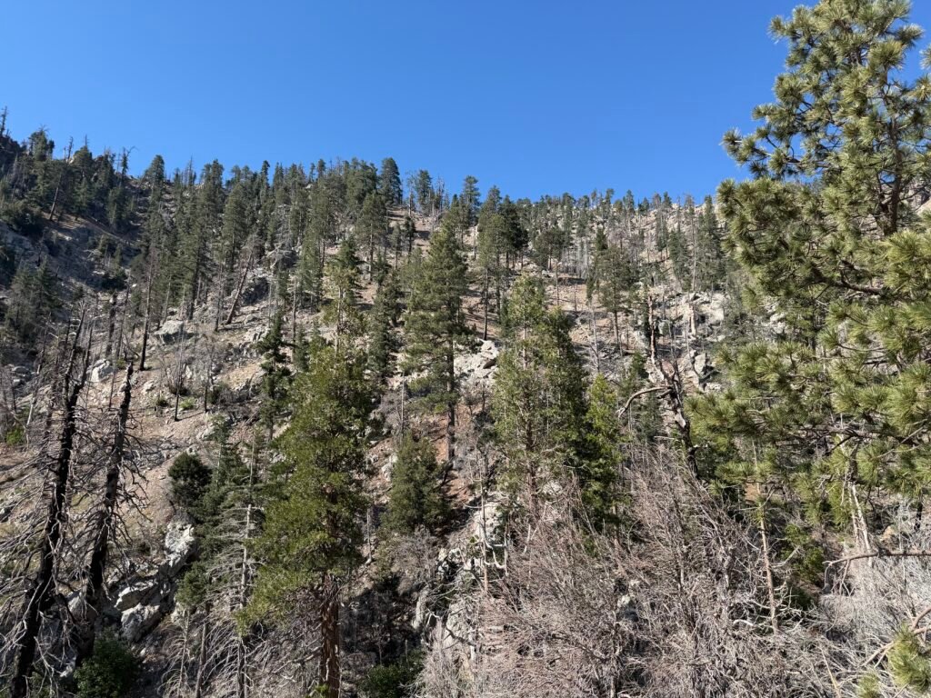
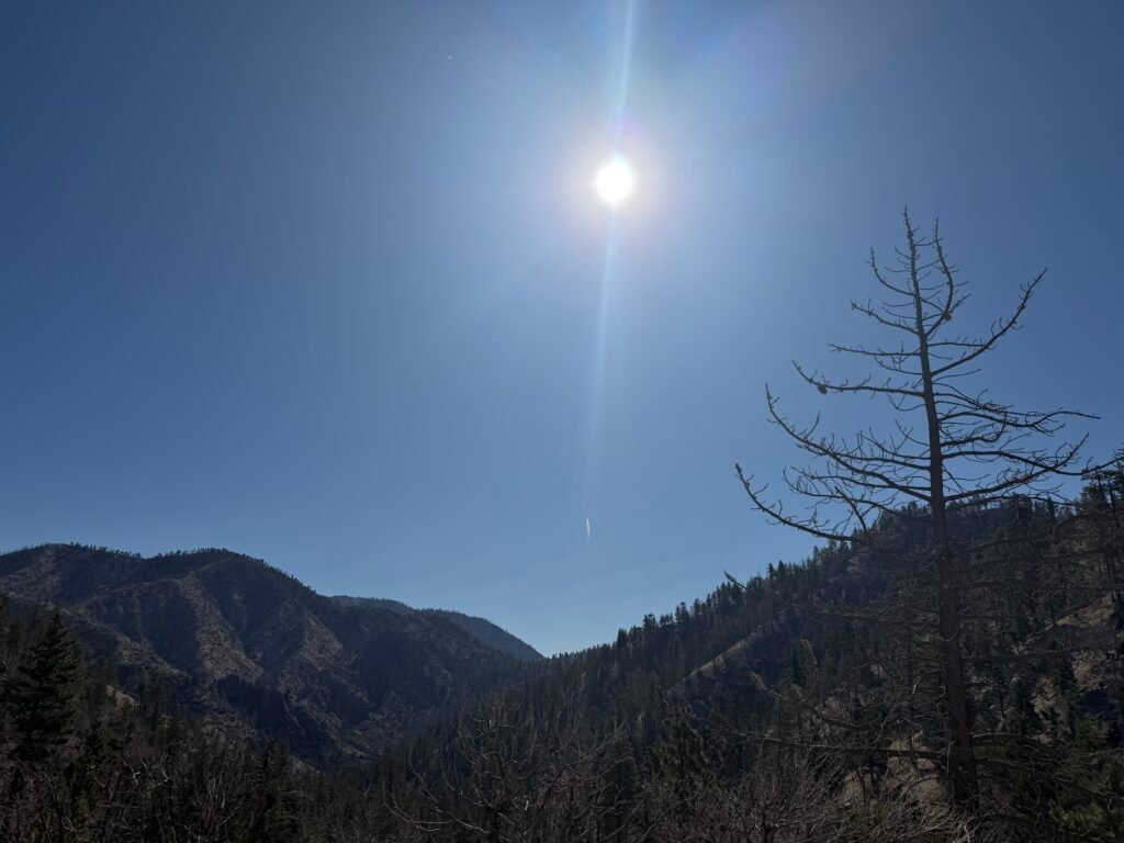
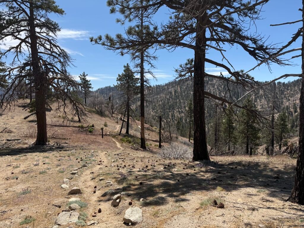
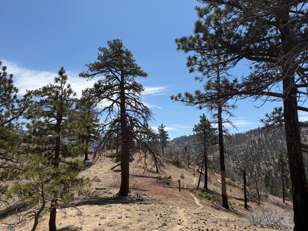
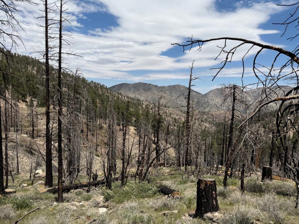
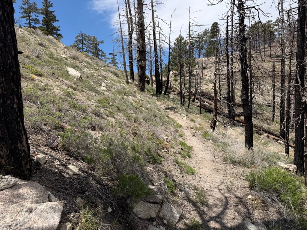
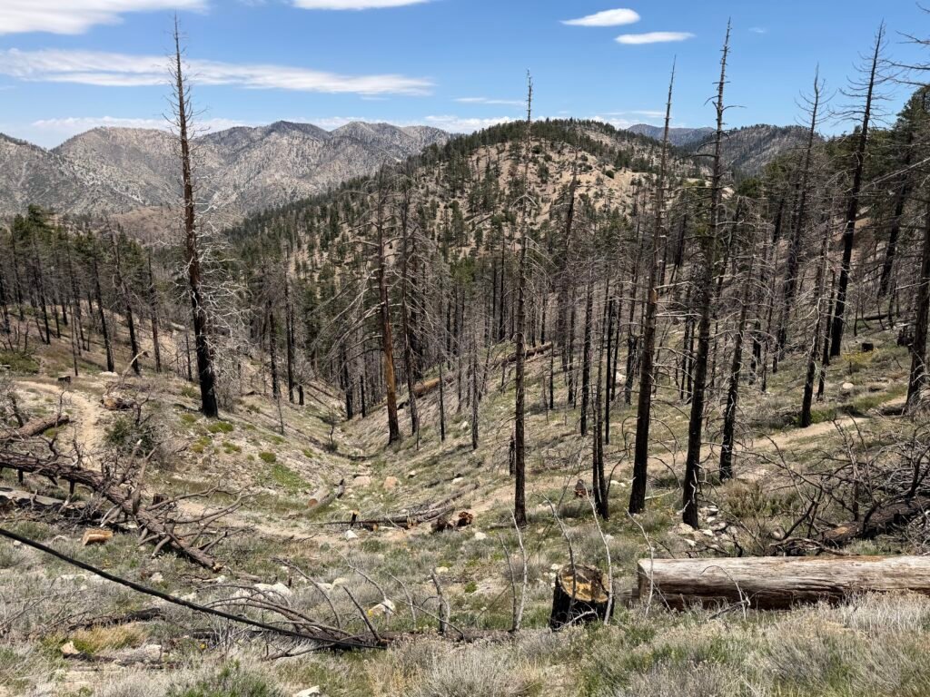
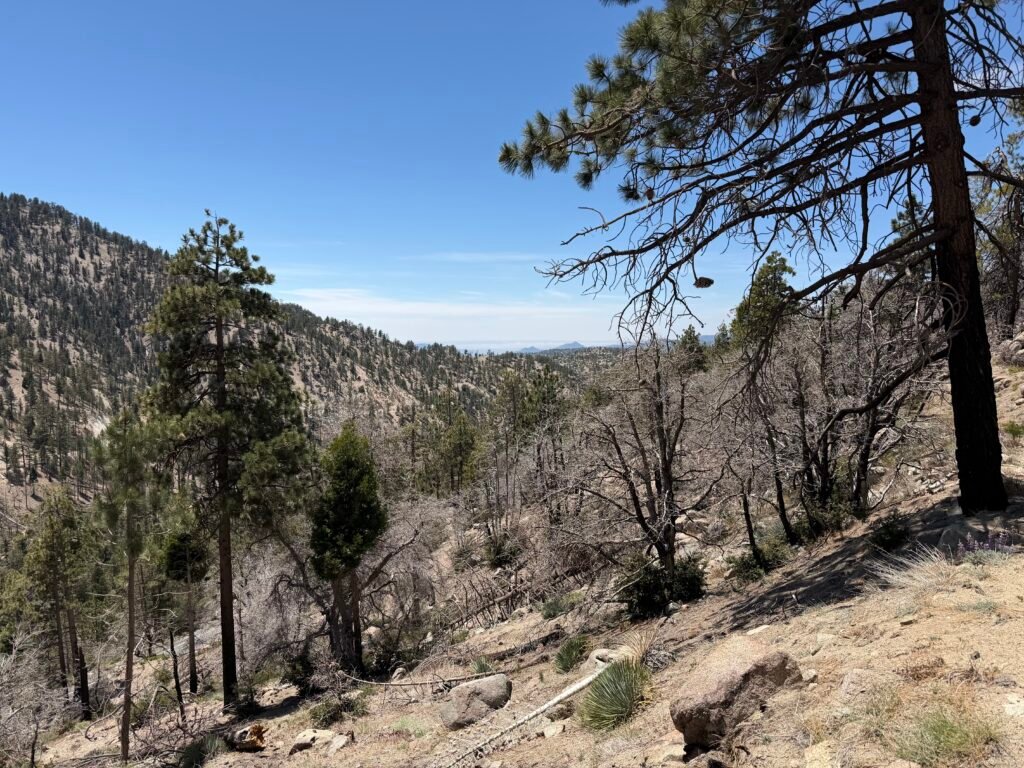
The burned forest left little shade, so I used my umbrella to keep the Sun from baking my brain.

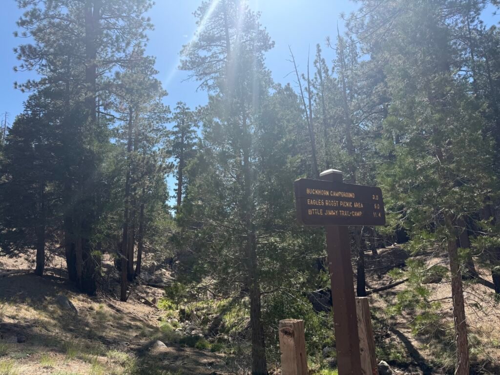
I reached Cooper Canyon Camp, but didn’t have to ‘go’. so I continued West on the trail.

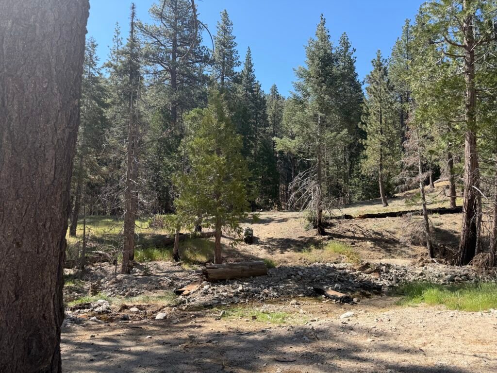
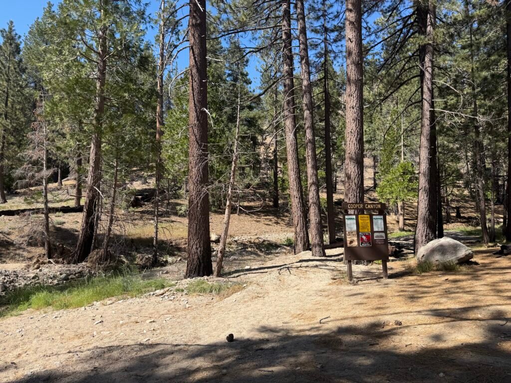
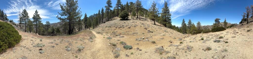
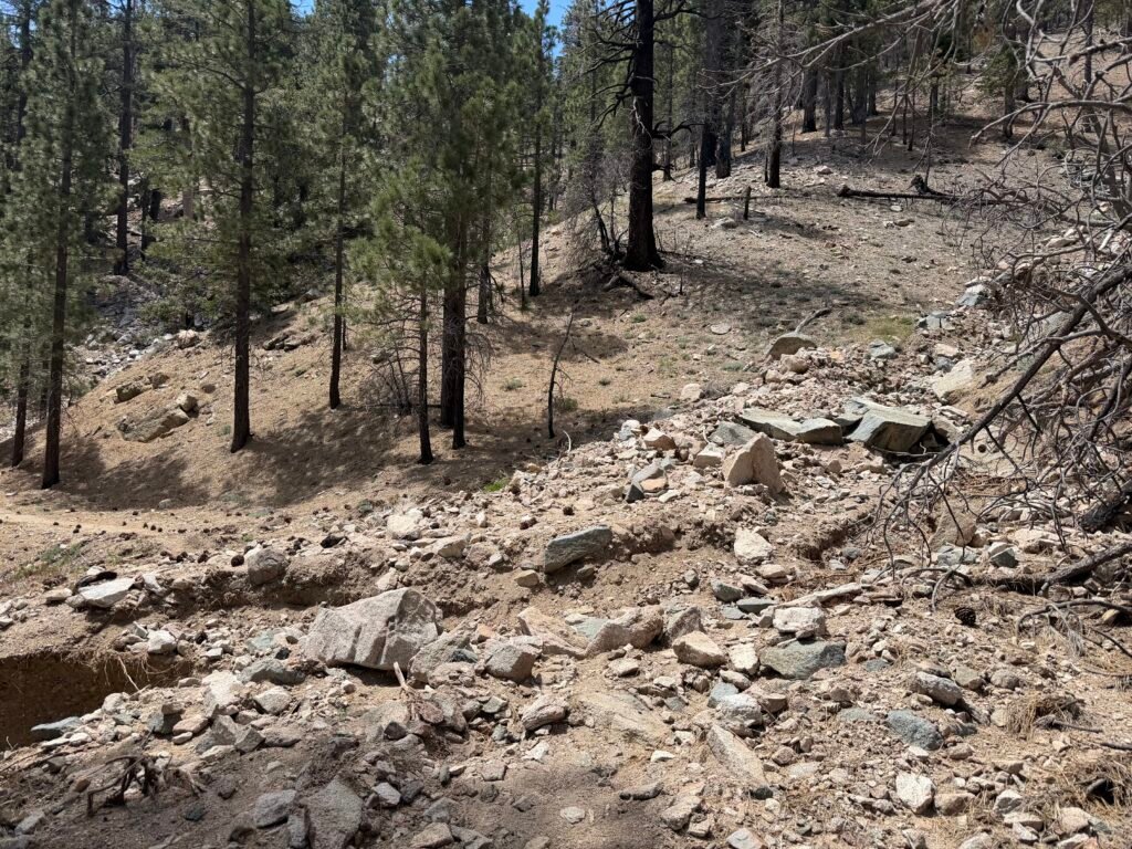
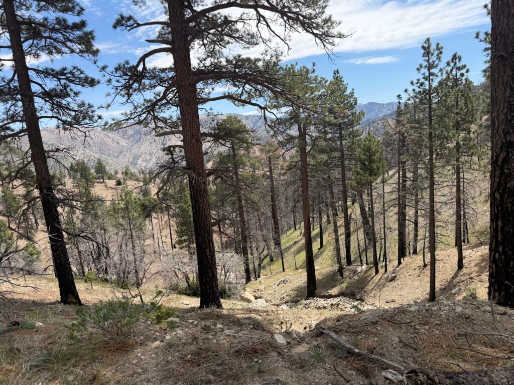
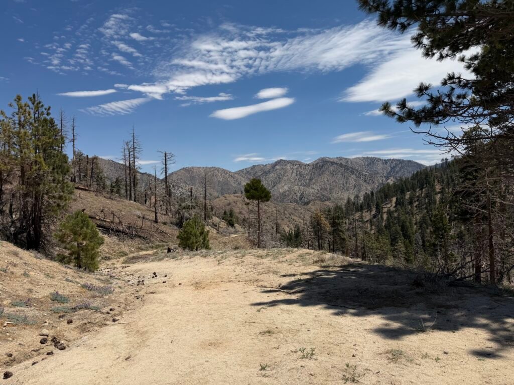
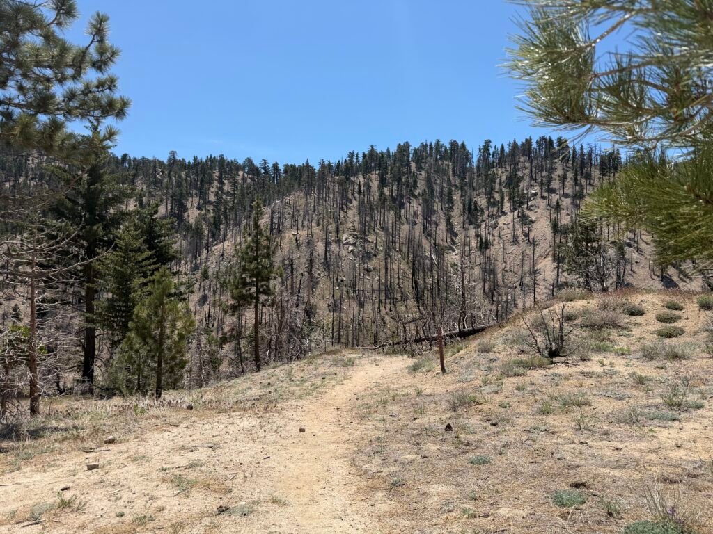
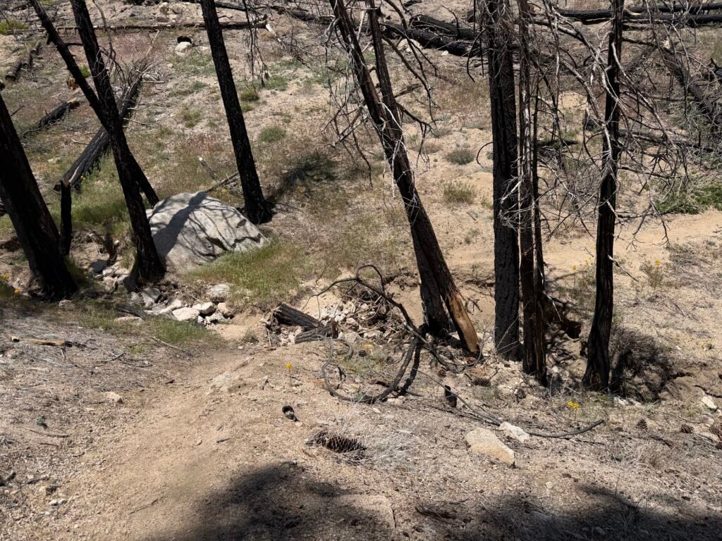

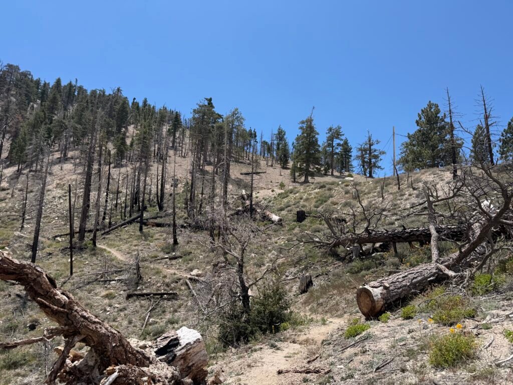
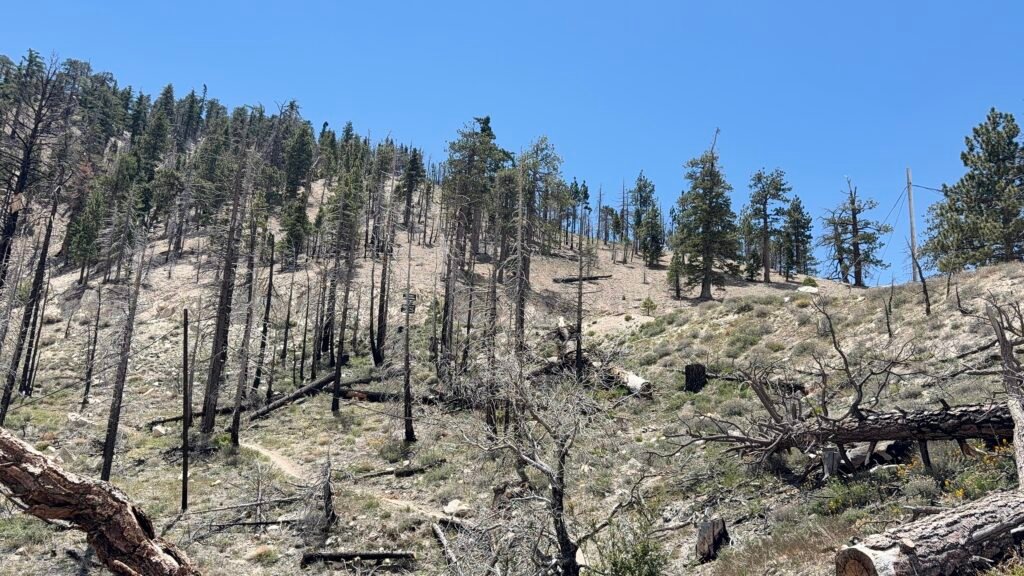
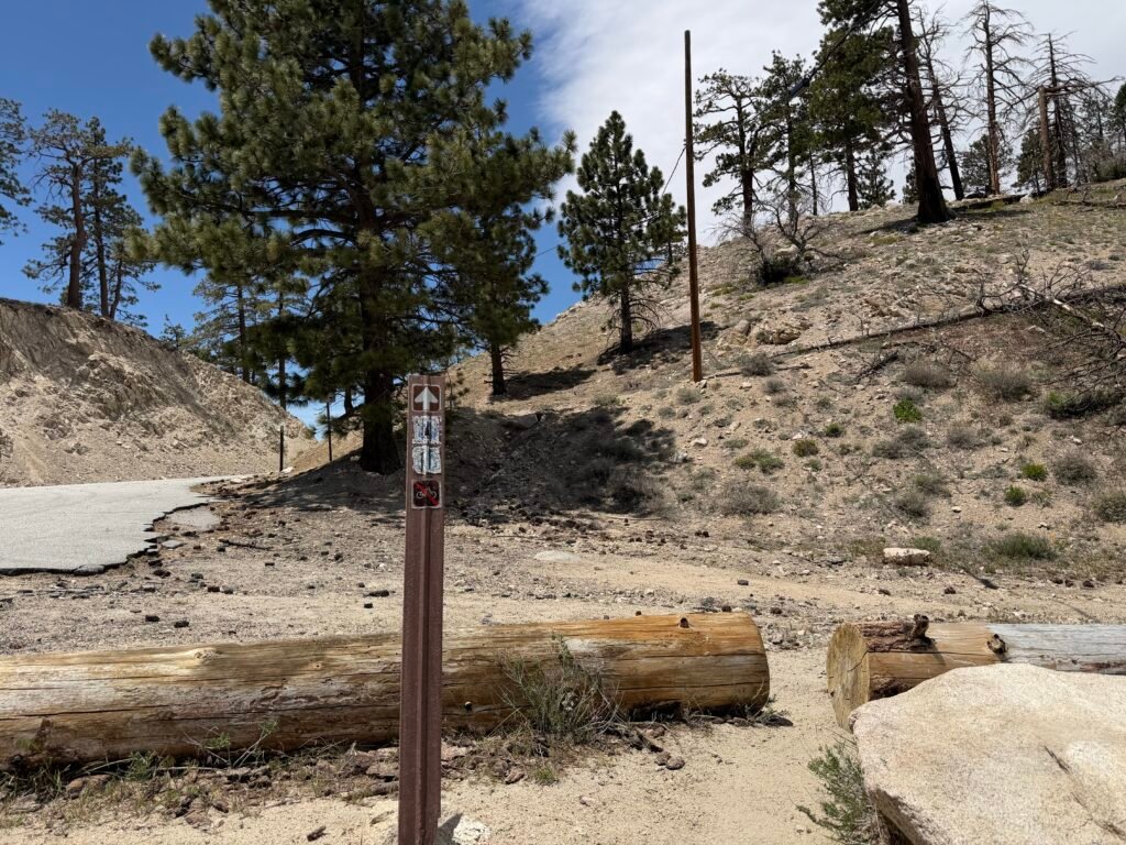
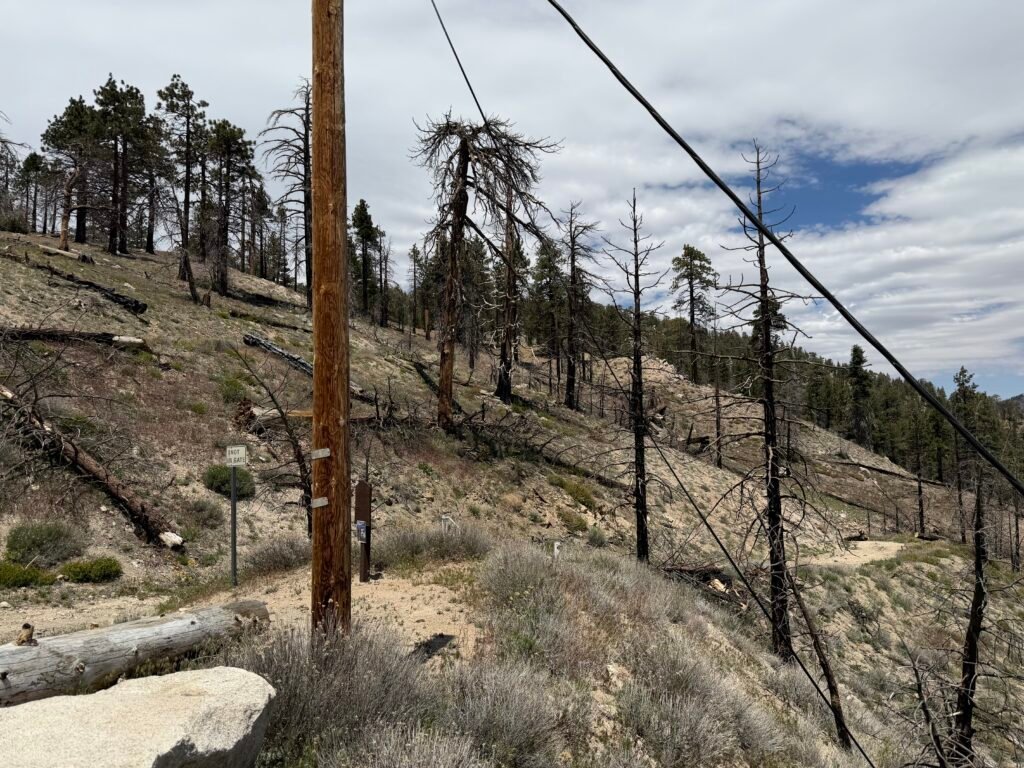
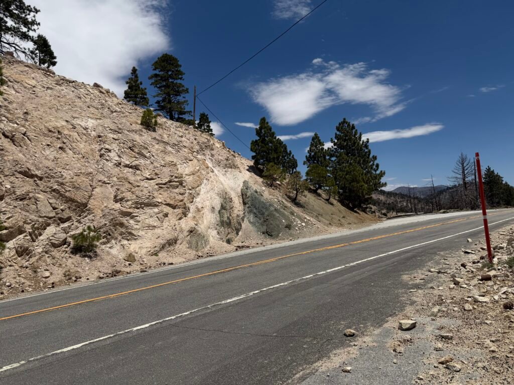
Sixth crossing of Highway 2 followed shortly after by…
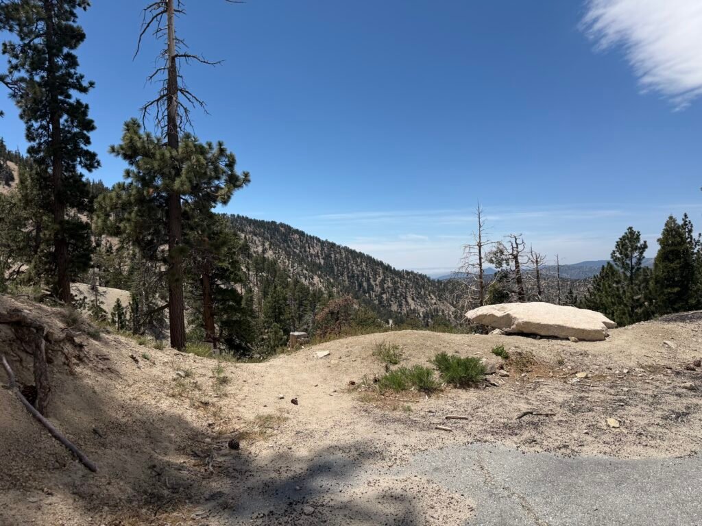
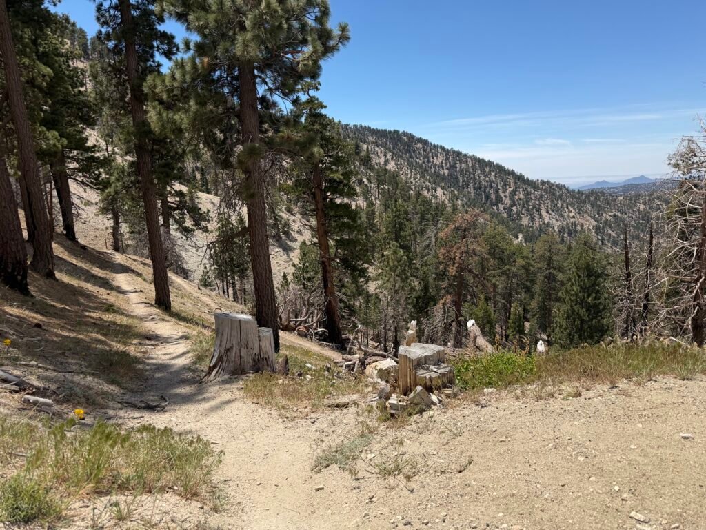

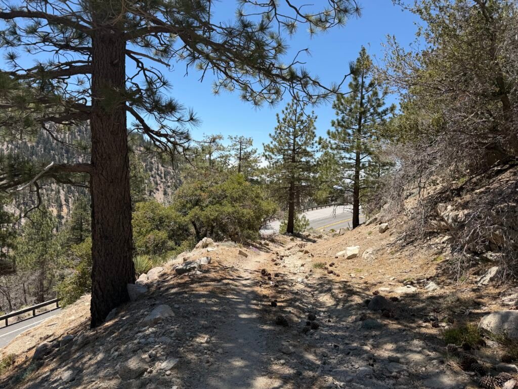
…the seventh crossing of Highway 2!
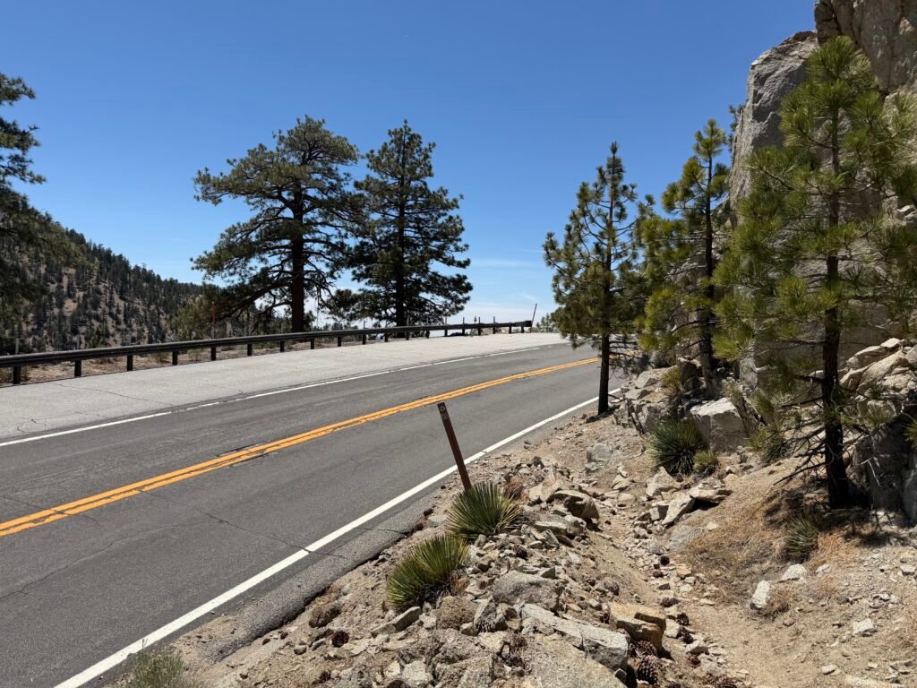
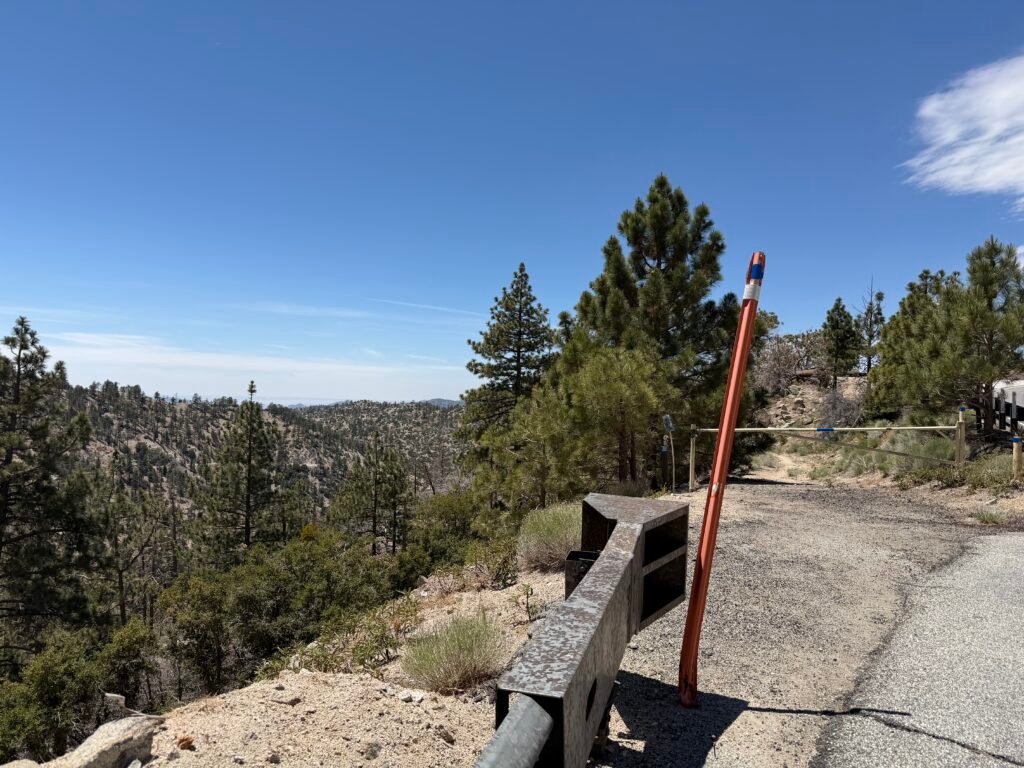
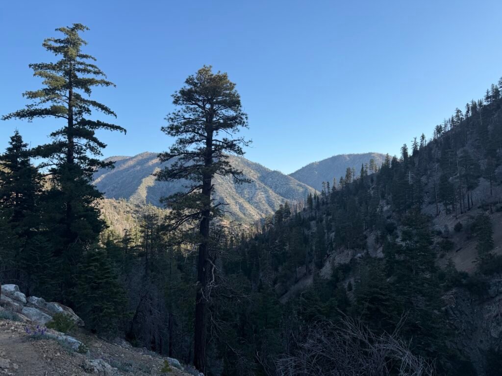
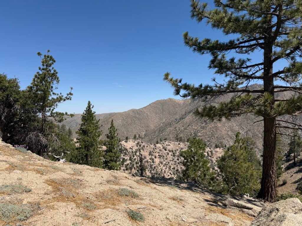
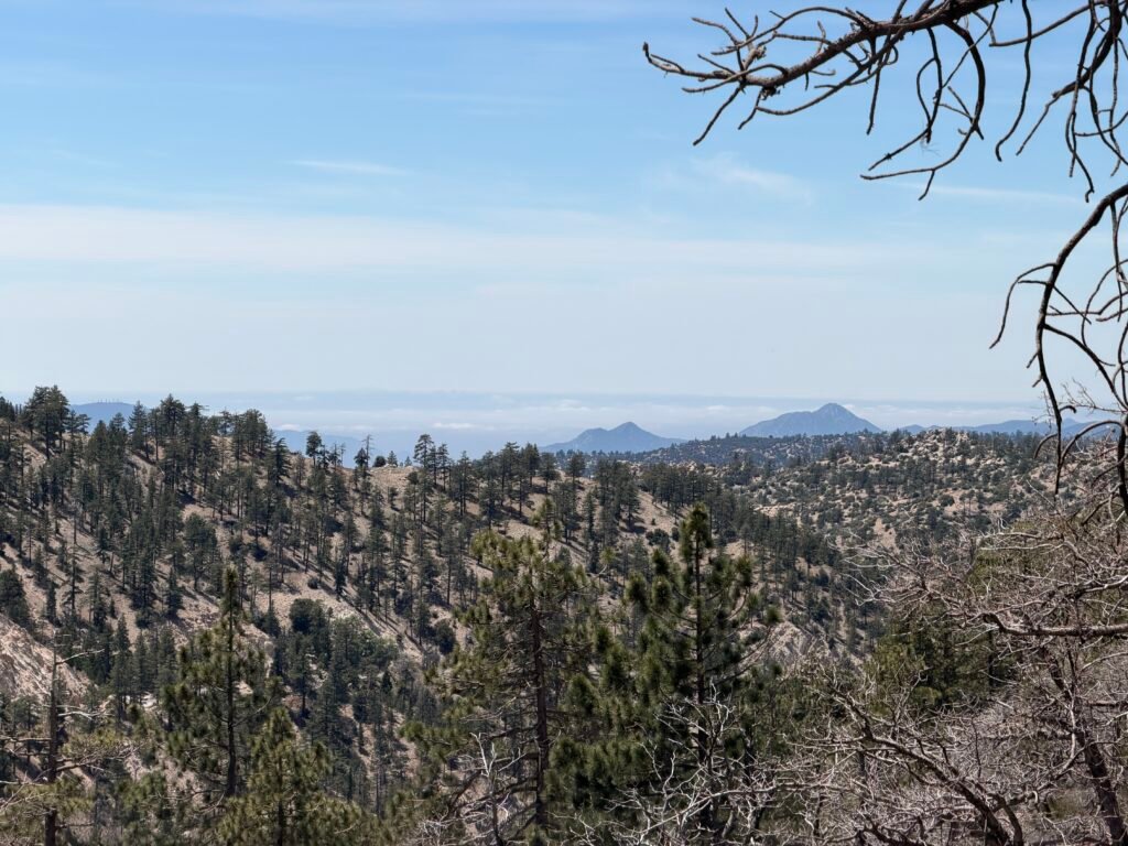
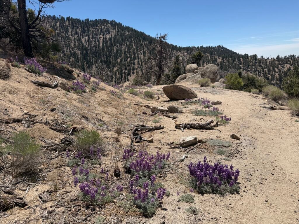
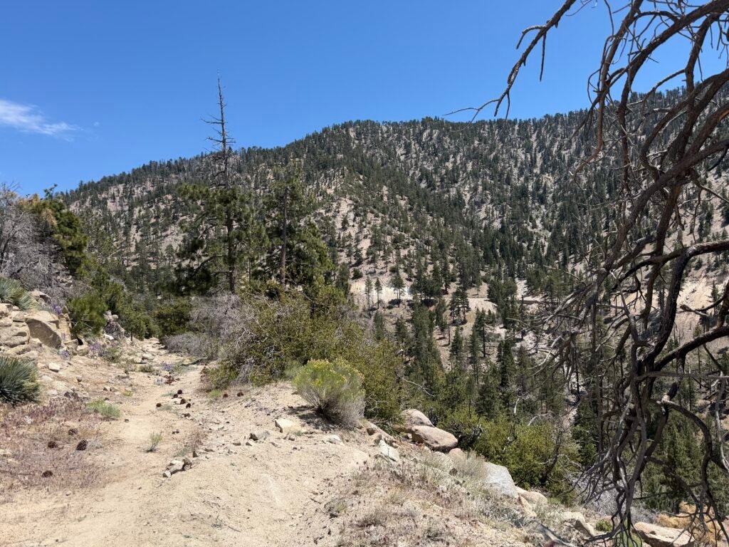
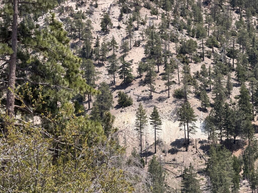
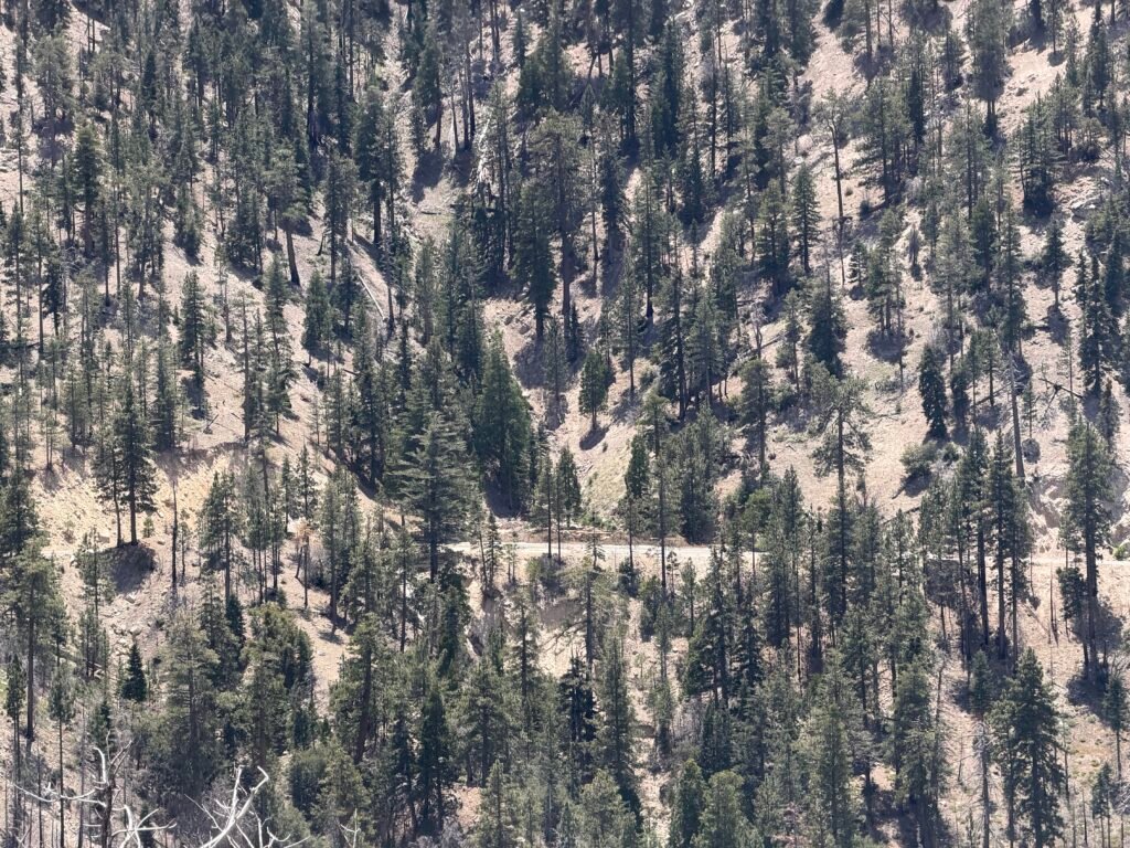
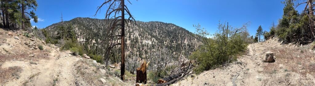
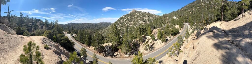
It was a long and (at times) a difficult hike that day, but beautiful scenery. No wonder Highway 2 was a famous ‘scenic byway’. But I think I got a better view from the PCT, that if I drove the pavement.
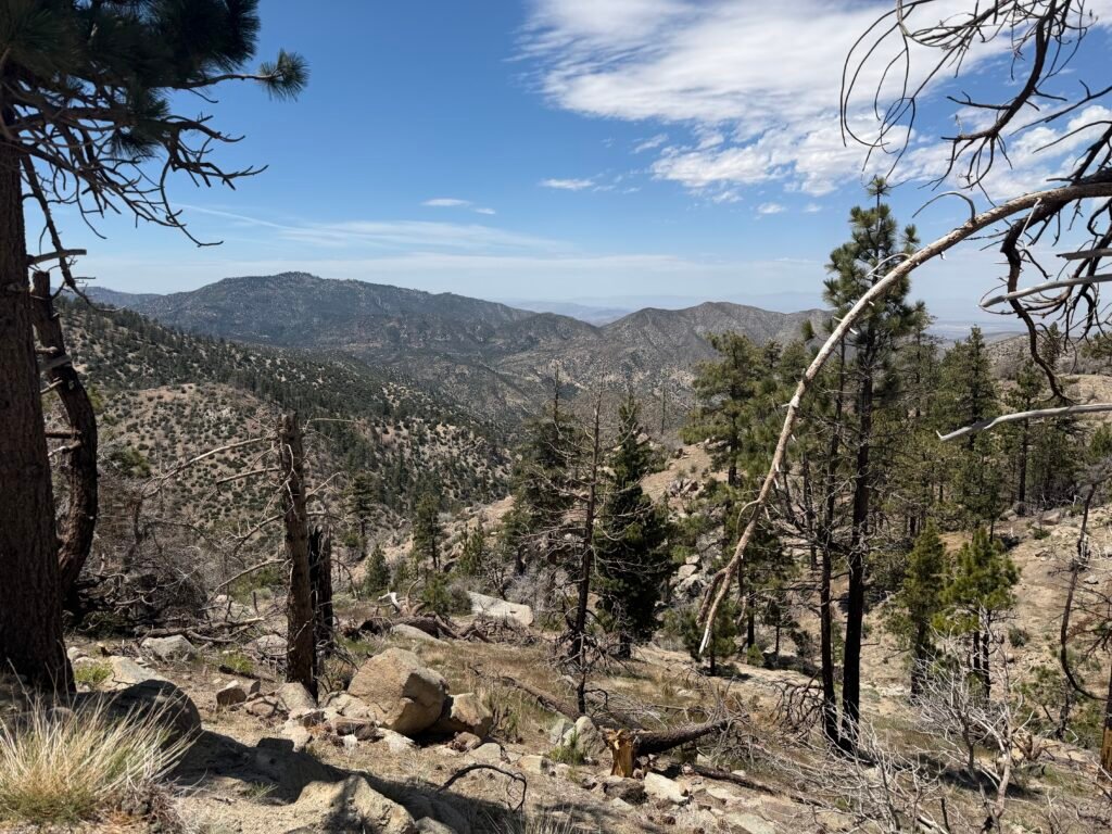
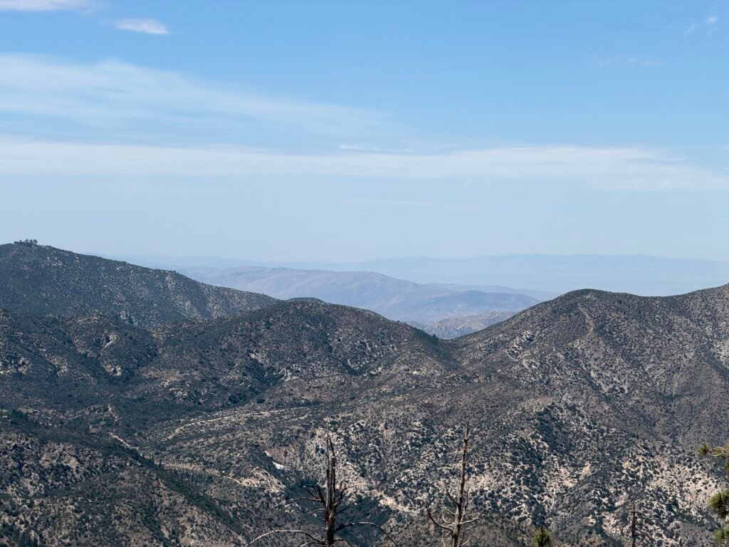
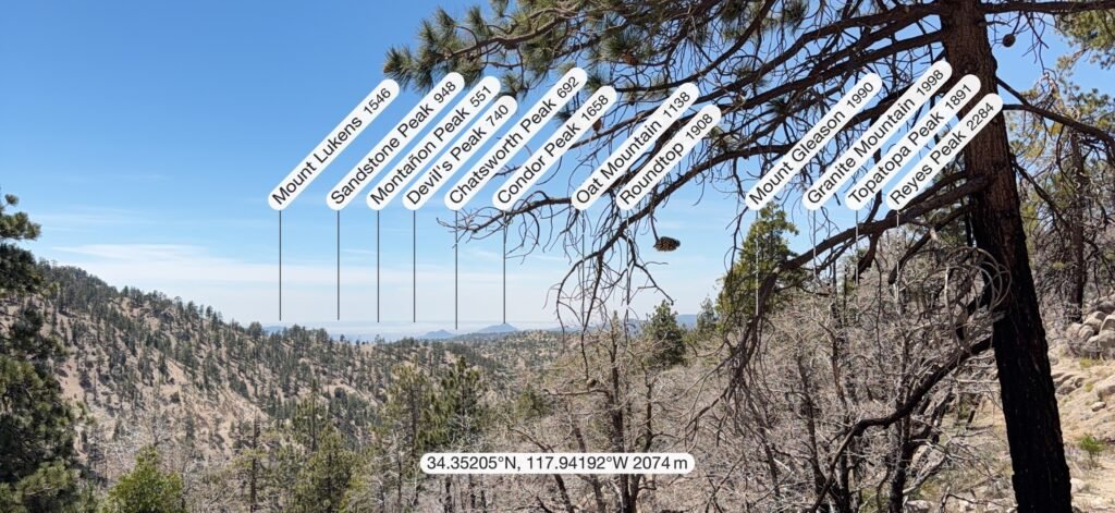
Mid-afternoon, I decided to take a first person video of my hike along the trail for no particular reason.

400 Miles, Baby!!! 😀😀😀😀
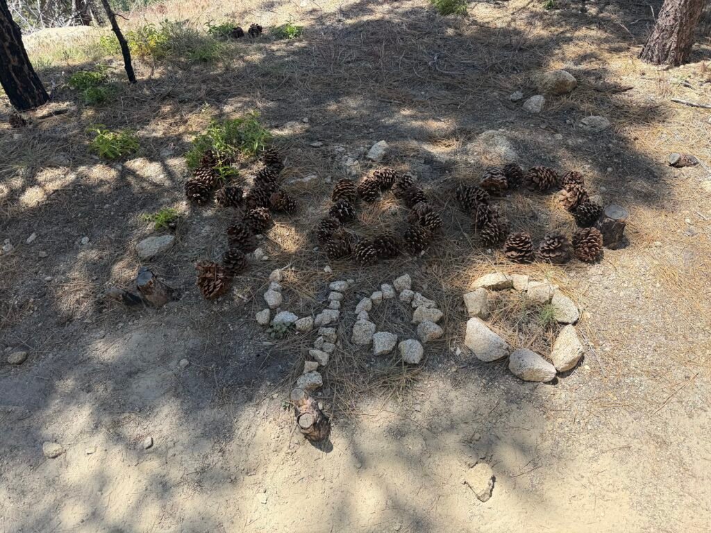


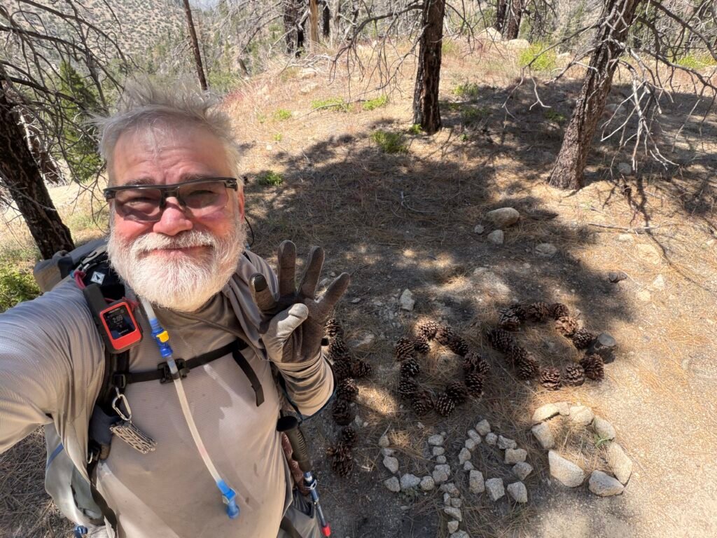
I’ve kept going almost twice the length of the John Muir Trail to reach this point, amazing myself and exceeding my grandest dreams of my progress. Especially after the head injury I suffered near Big Bear48 miles South of this milestone.
Another marker shortly after the first.
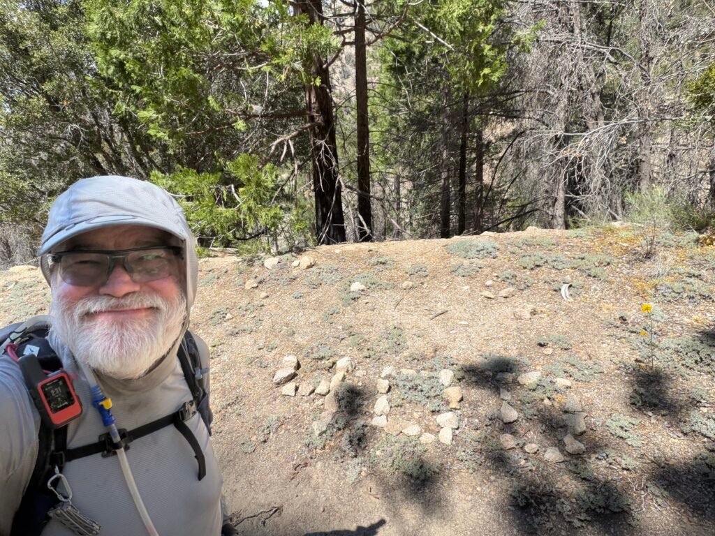
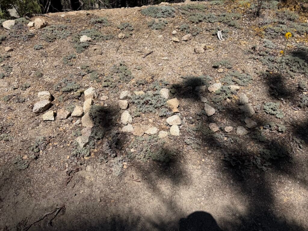
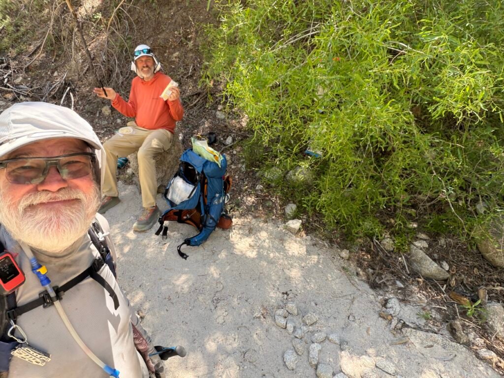
The big mile marks also tend to be good places for PCT hikers to take a break.
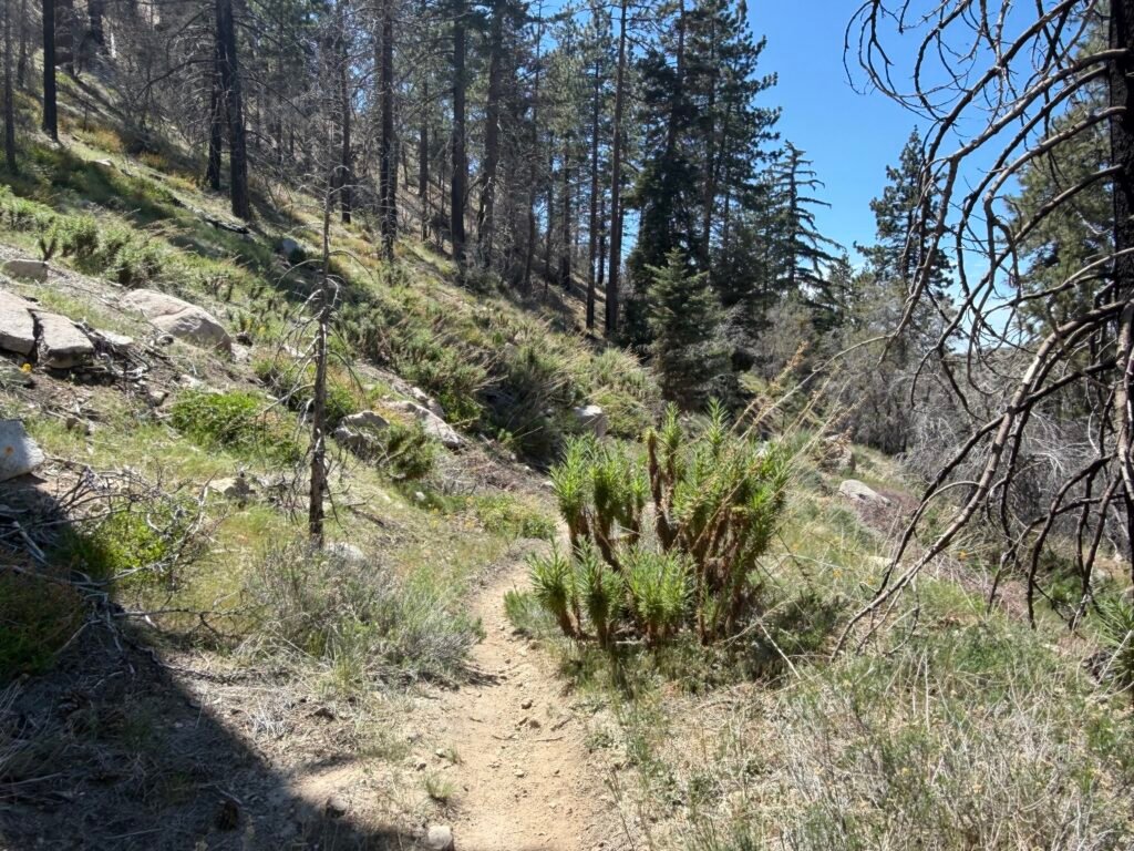
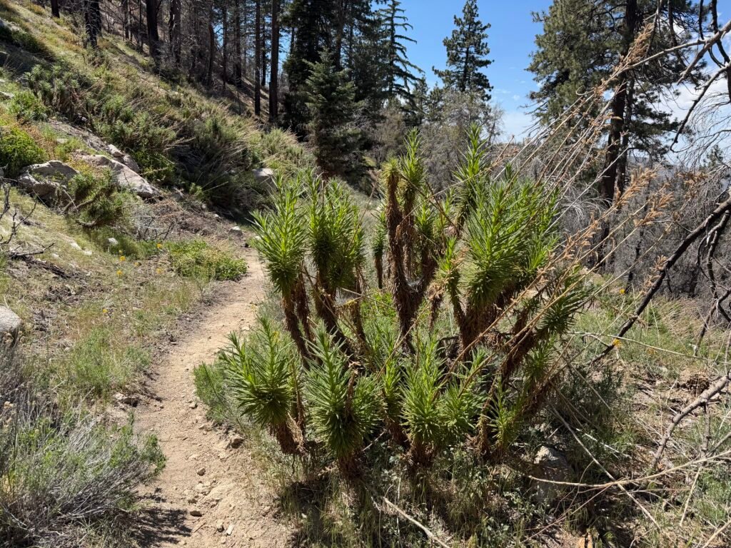
DANGER WILL ROBINSON!
A big group of Poodle Dog Bush wanted to celebrate my reaching mile 400.
I gave it a lot of sace as I inched past it.
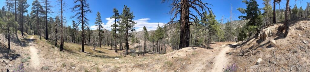
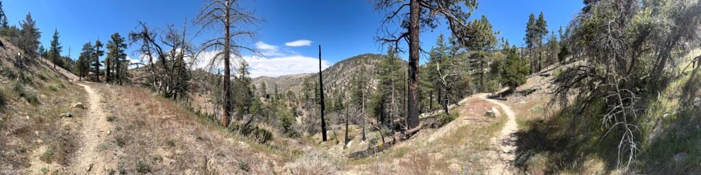
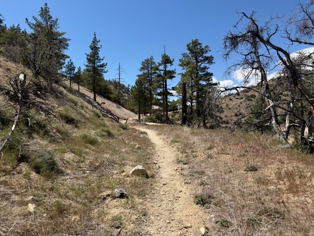
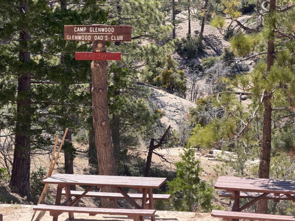
As expected, Camp Glenwood came into view.
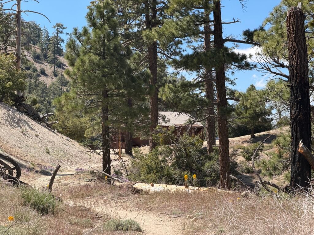
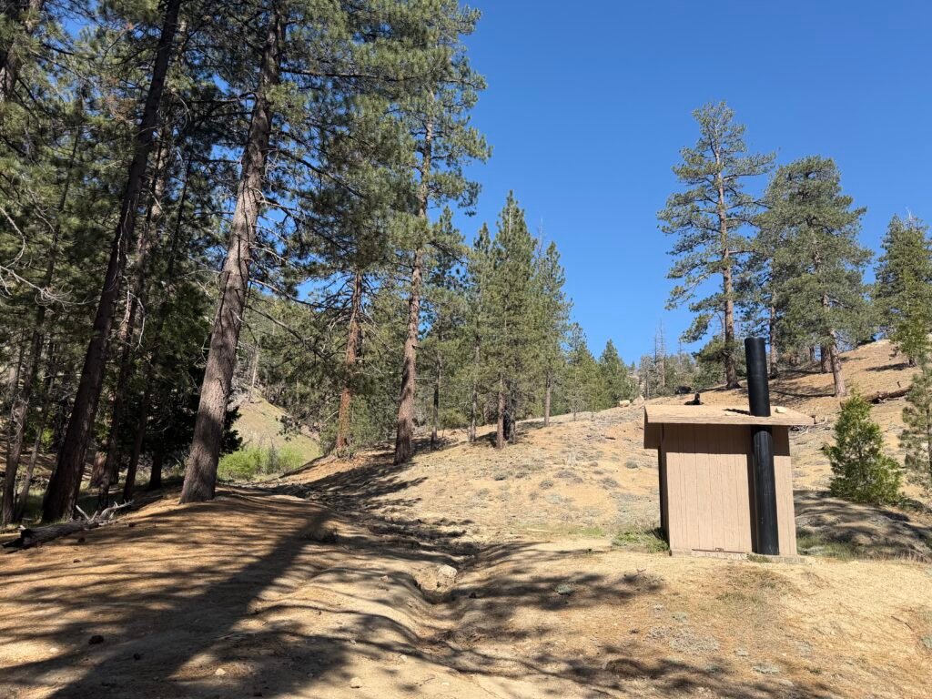
For some reason, I took 6 pictures of the outhouse as aI approached the camp. And I didn’t even need to use it at that time. 😀

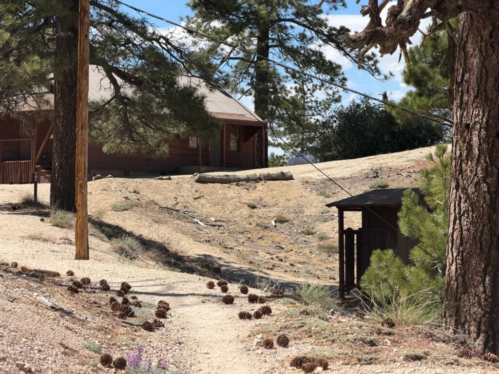
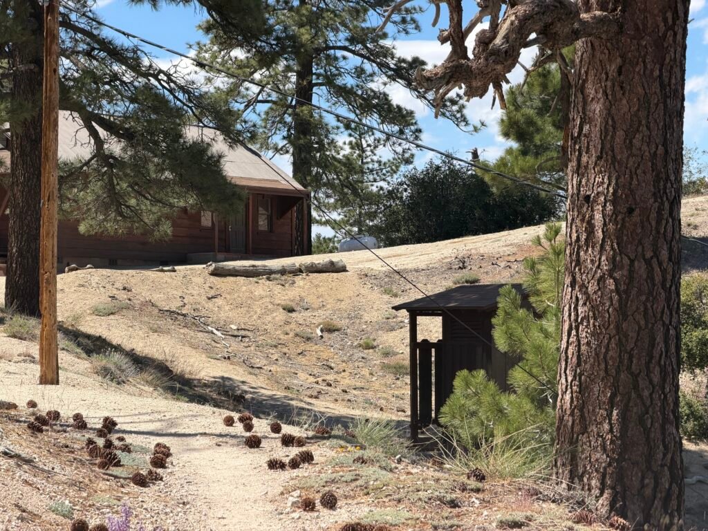

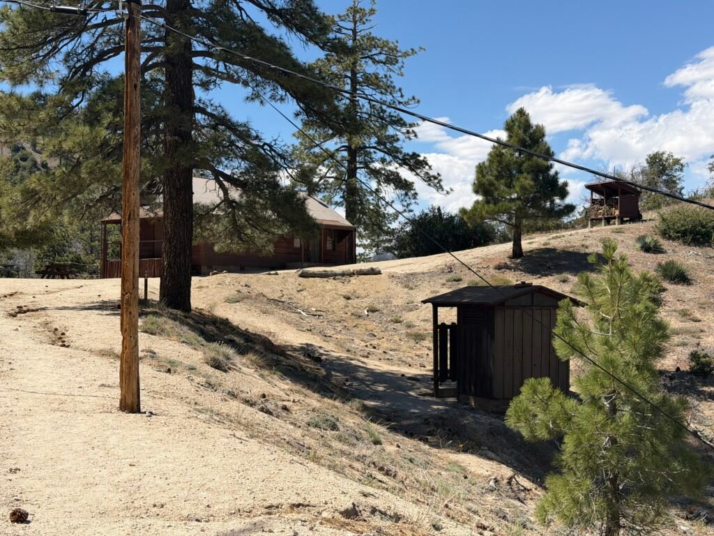
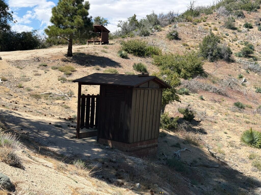
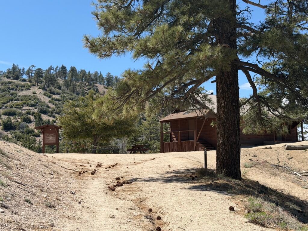
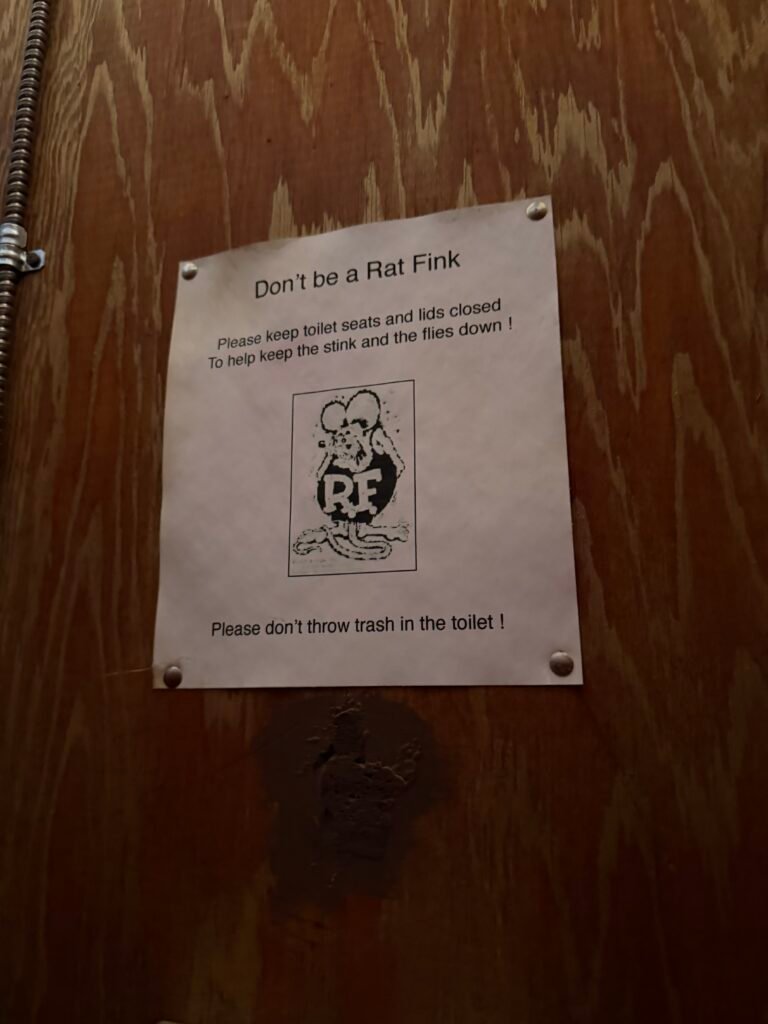
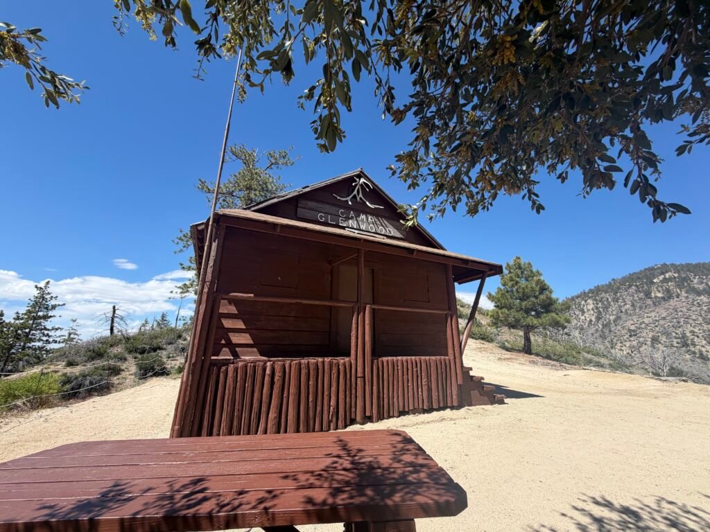
The cabin had been restored, so was in good condition (although you couldn’t go inside).

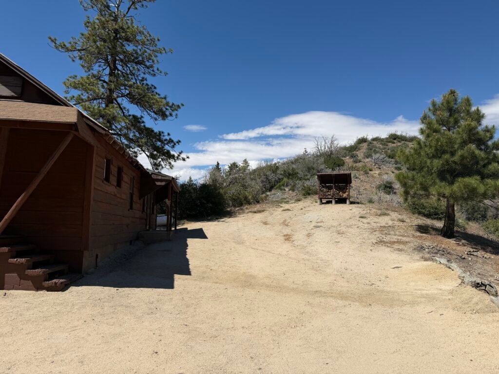
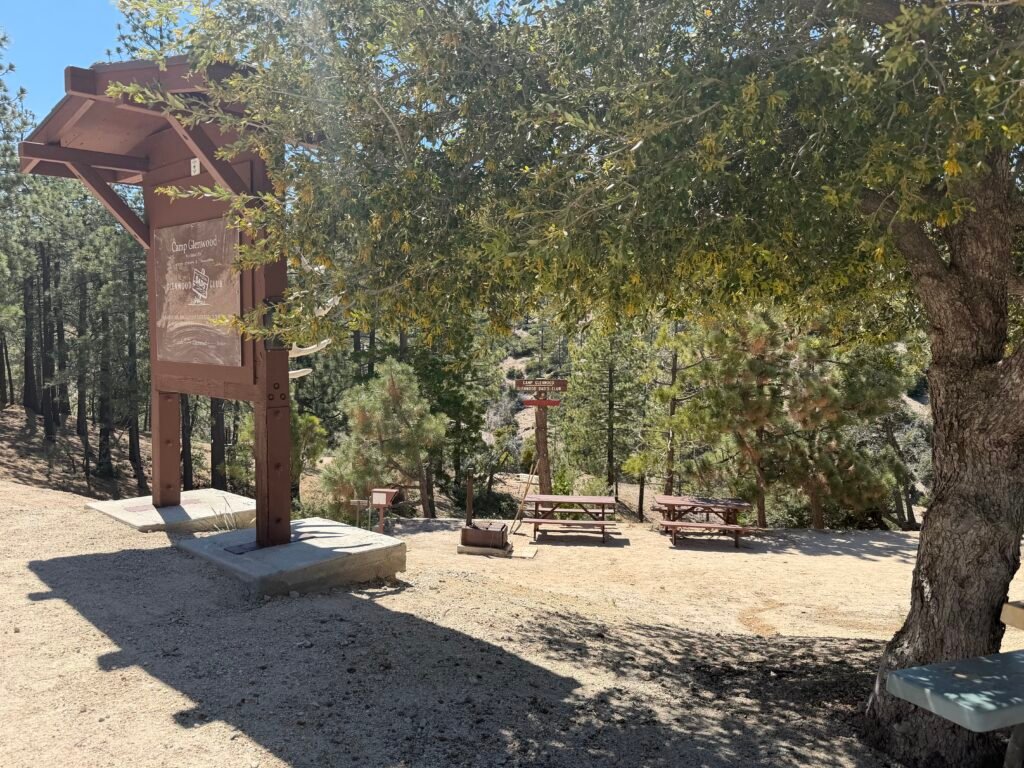

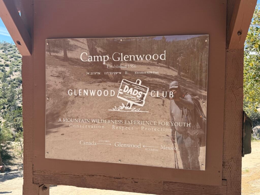

It was a nice place to get a short rest and also fill up on water from a piped spring.
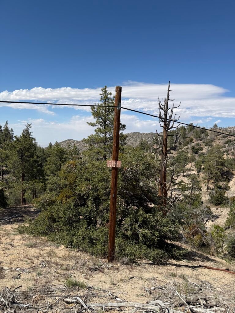
As I left, I found a Cell Phone nailed to a telephone pole. 😀
More like a sign with ‘cell phone’ carved into it. More than likely it was just a sign for campers and PCT hikers to know there was cell service at that point (although it wasn’t very strong).
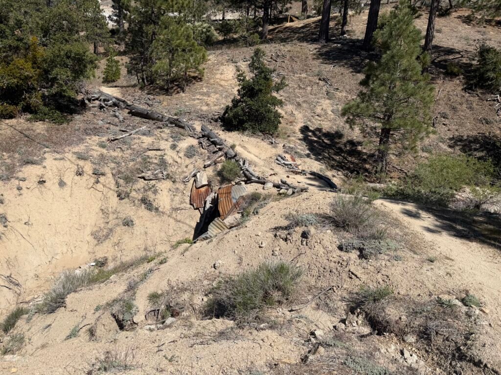
After crossing over Highway 2 for the eight time, the trail ran above the highway for a short time.
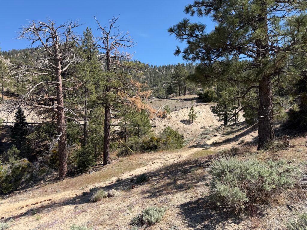
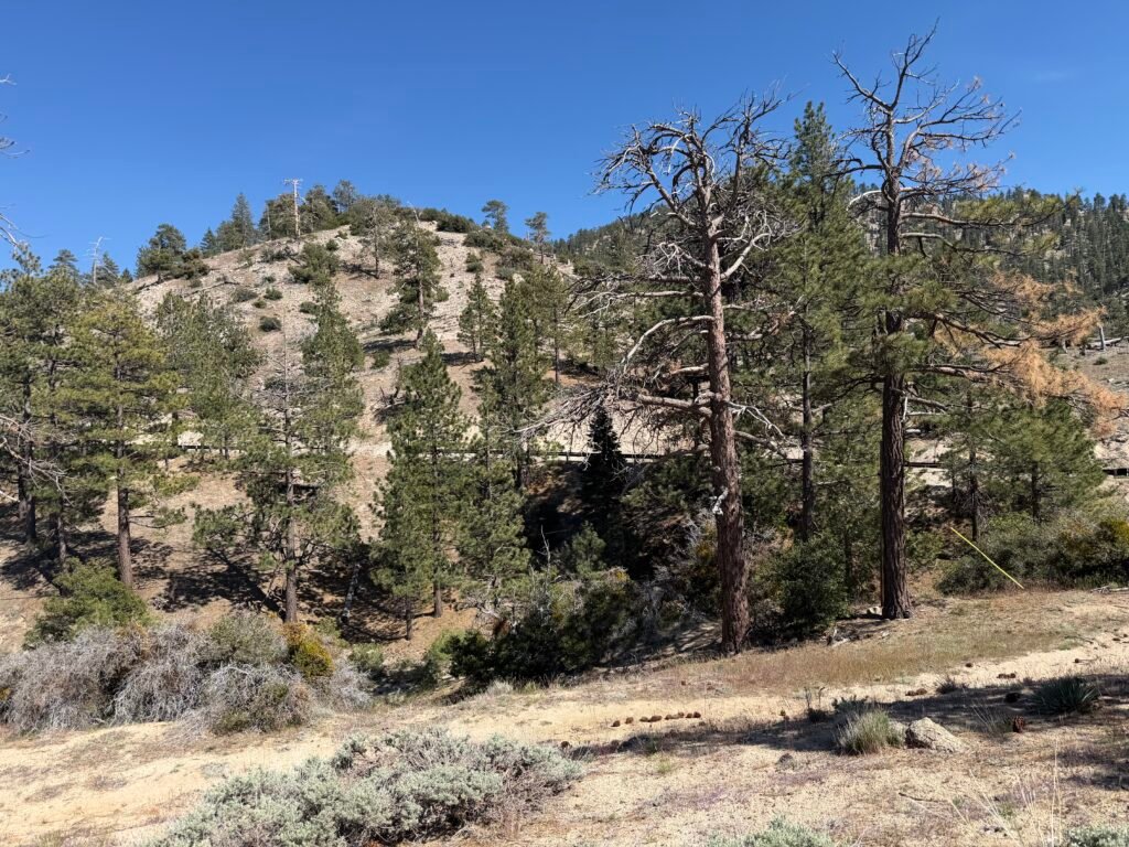
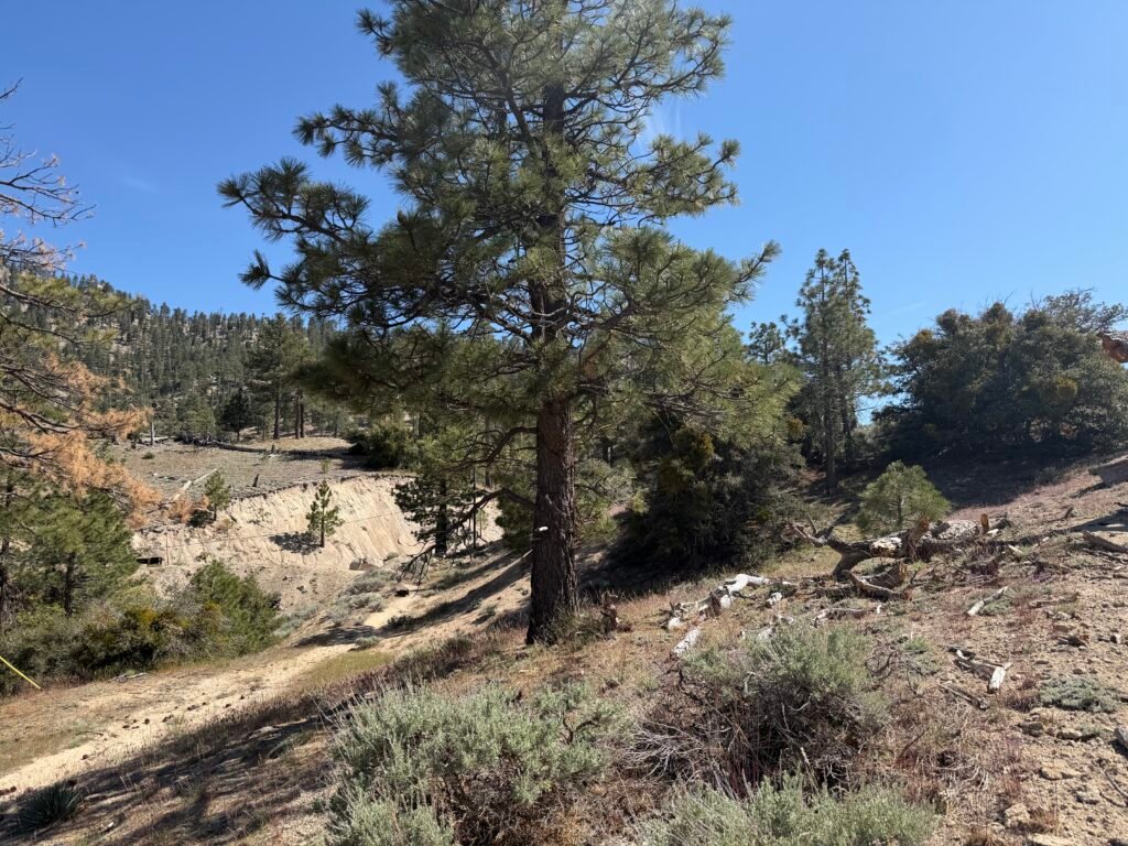
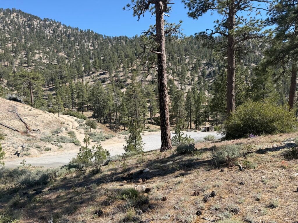
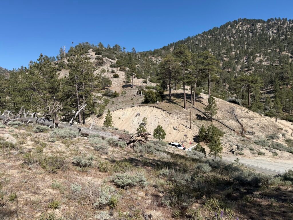

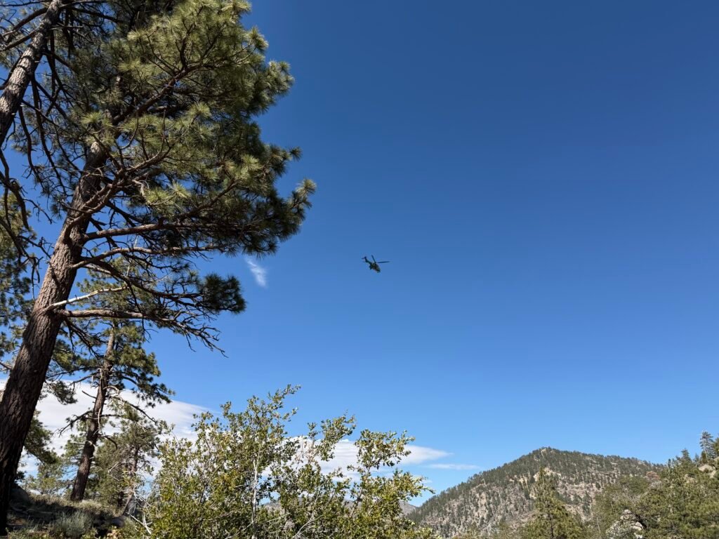
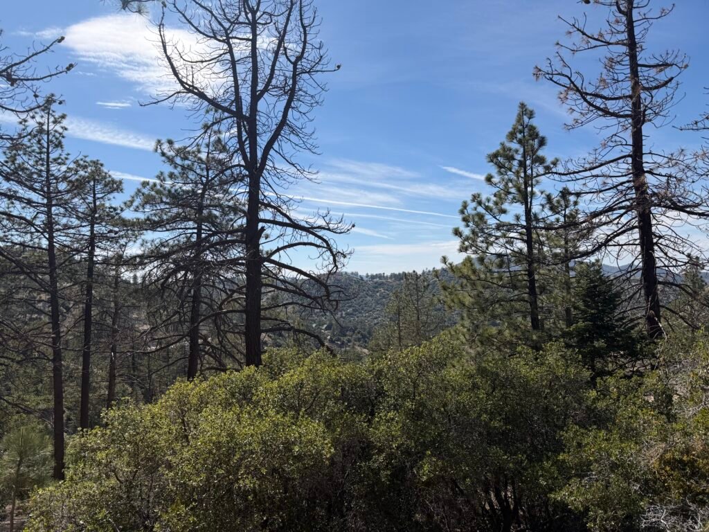
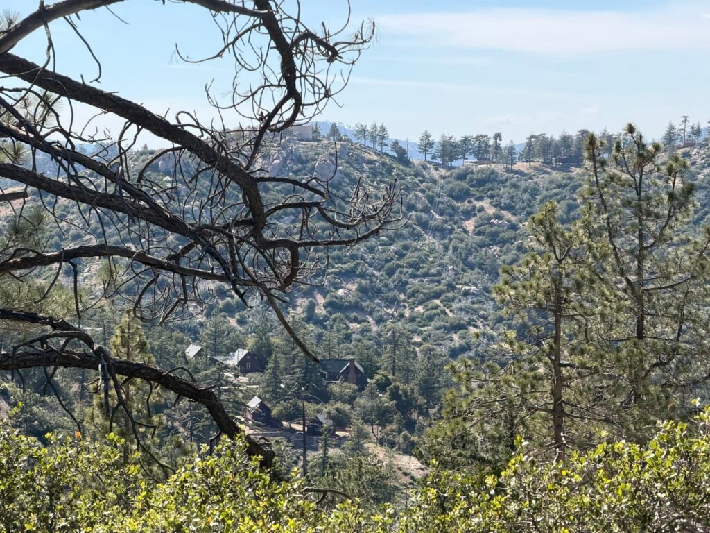
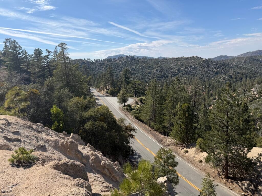

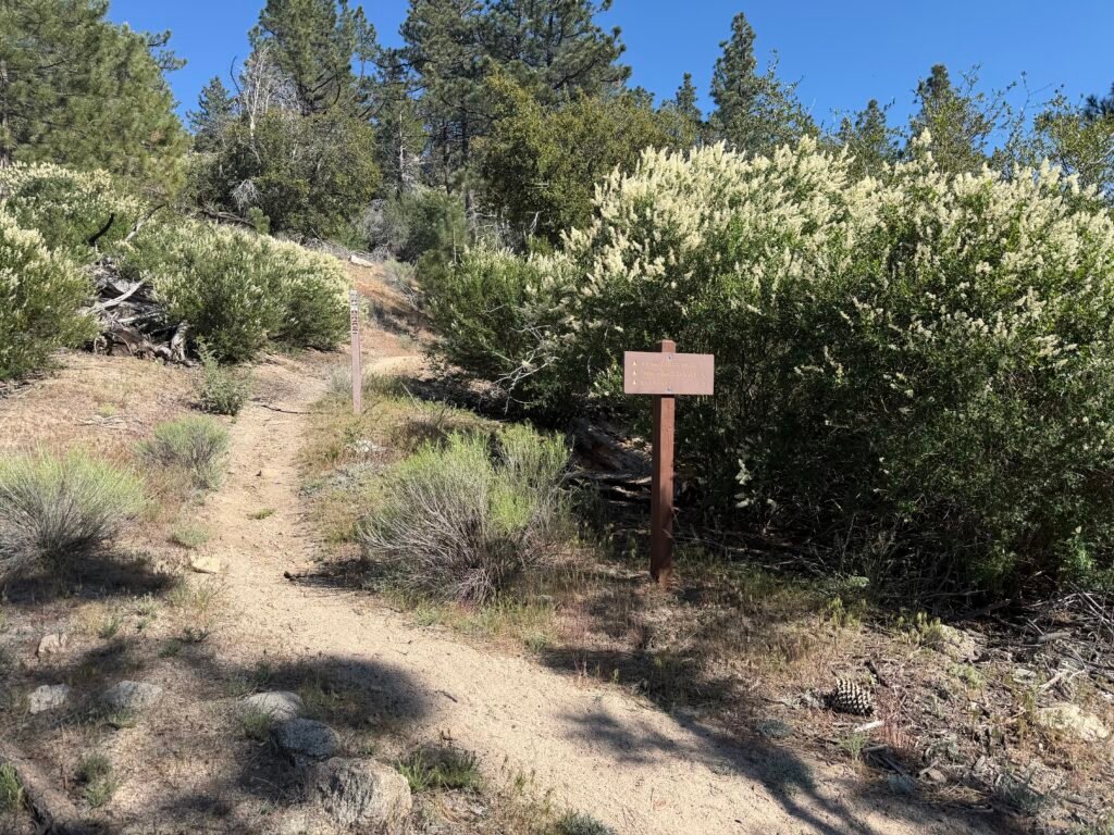


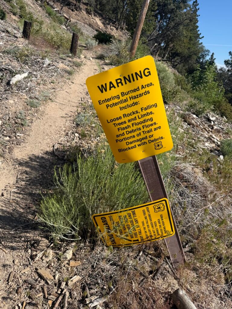
Three Points is the ninth (and last) time the PCT crosses Highway 2 at a 3 way intersection. Hence ‘Three Points’.
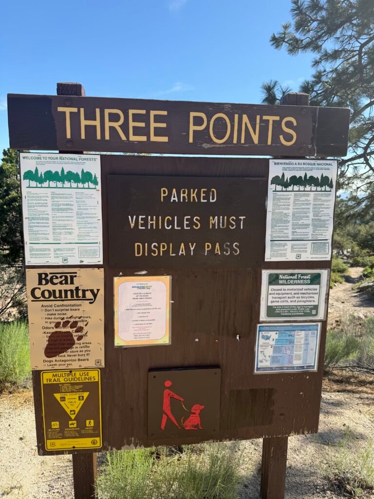
From there, the PCT climb up slowly away from Highway 2.

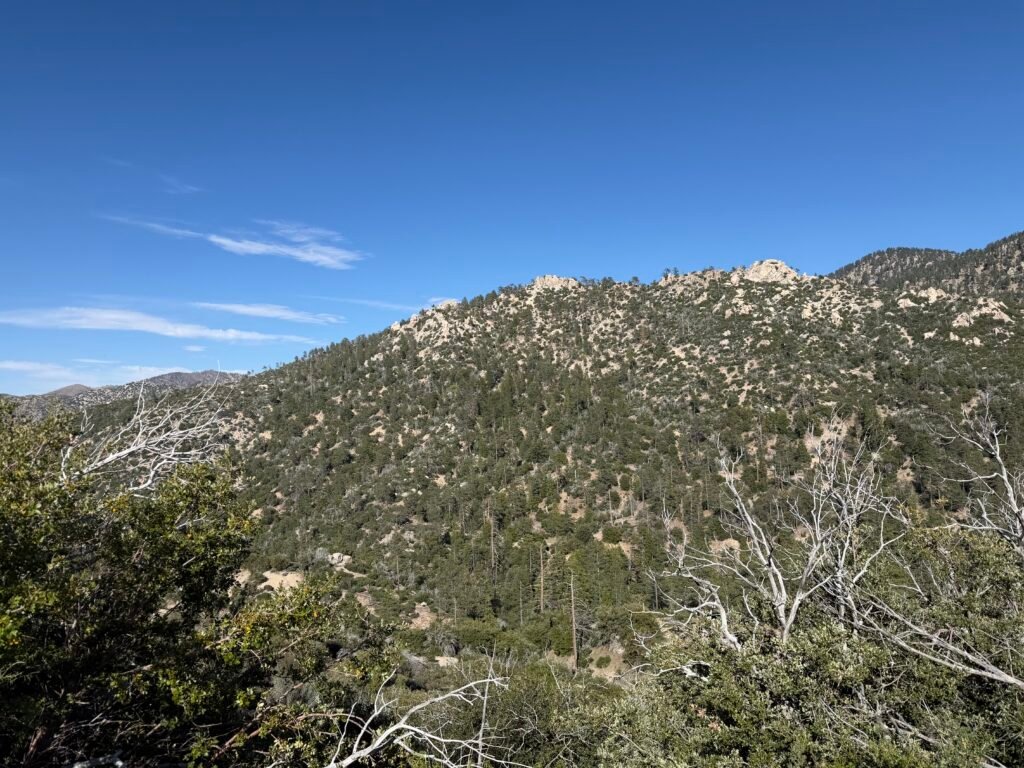

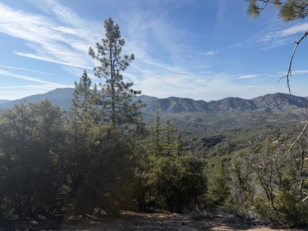
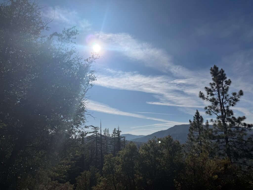
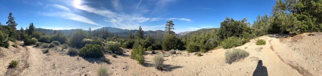
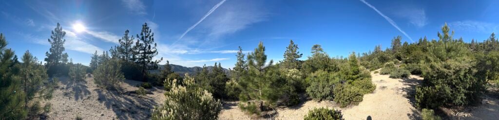
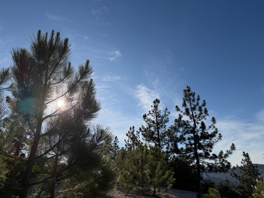
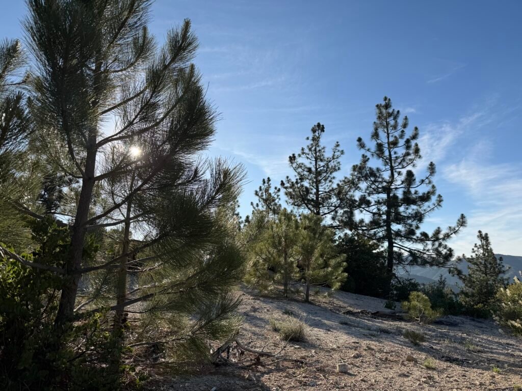
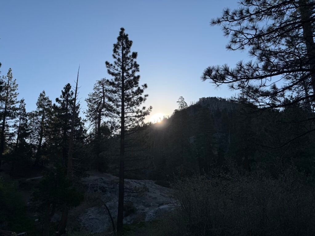
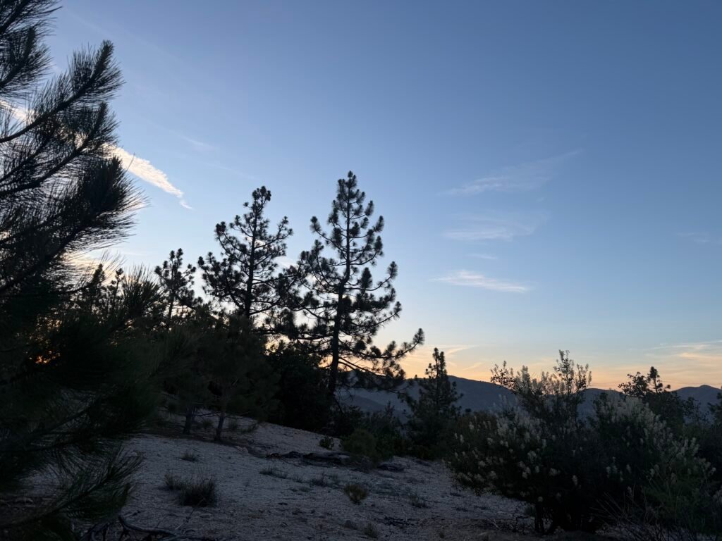
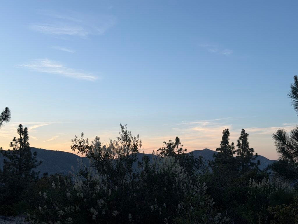
Late afternoon I found a nice place to camp and settled in for the night.
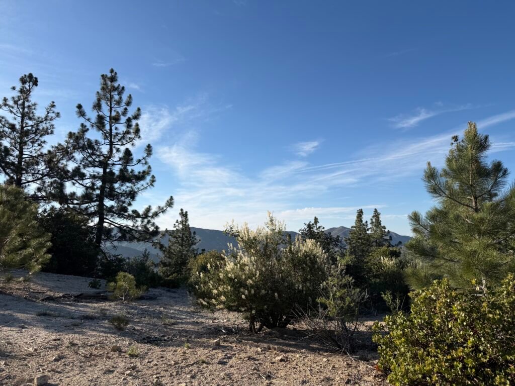


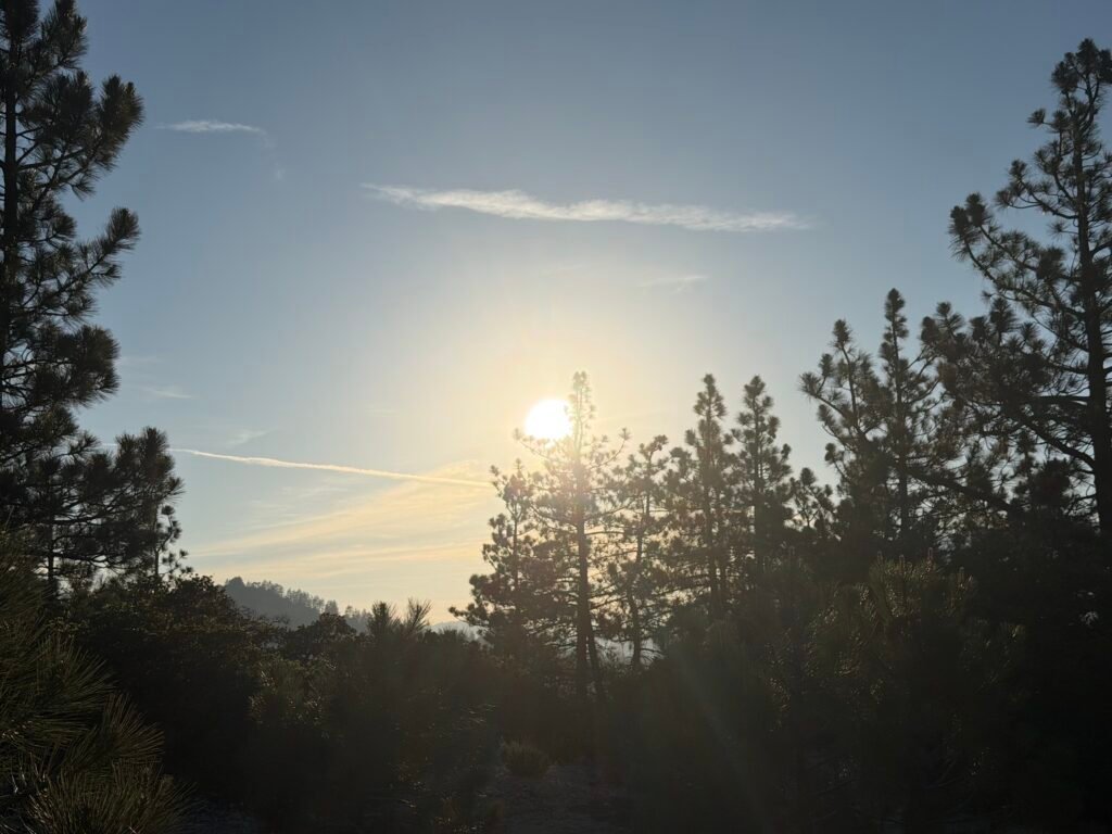
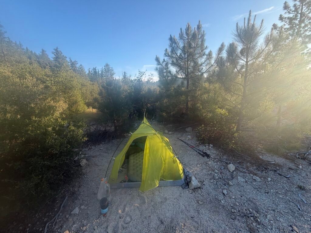
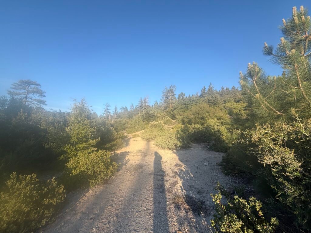
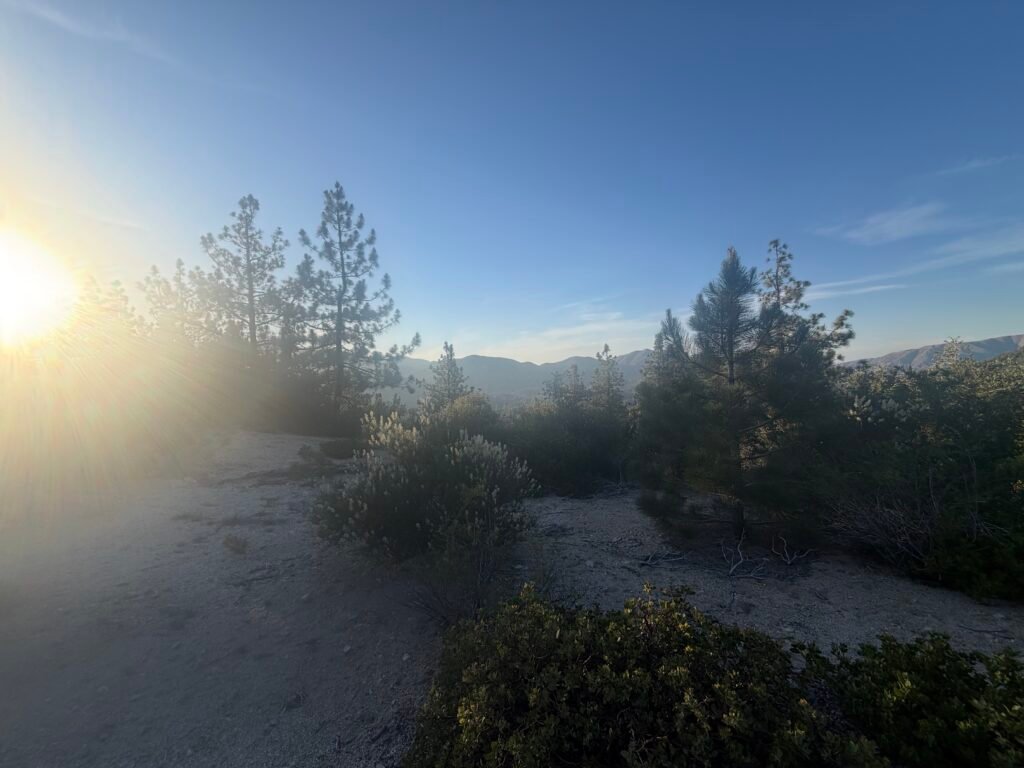
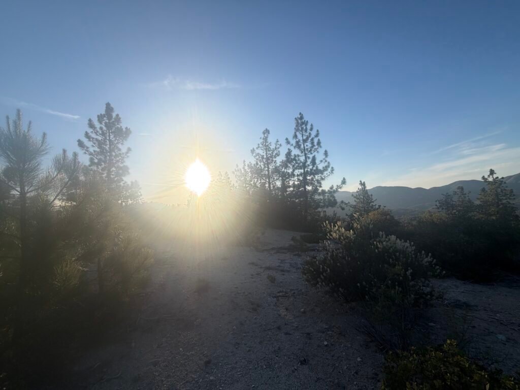

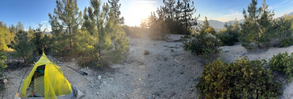
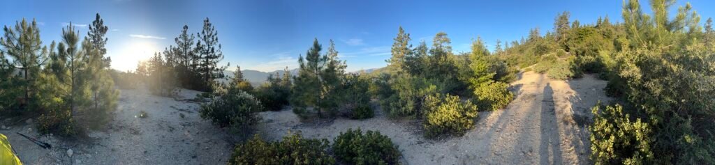
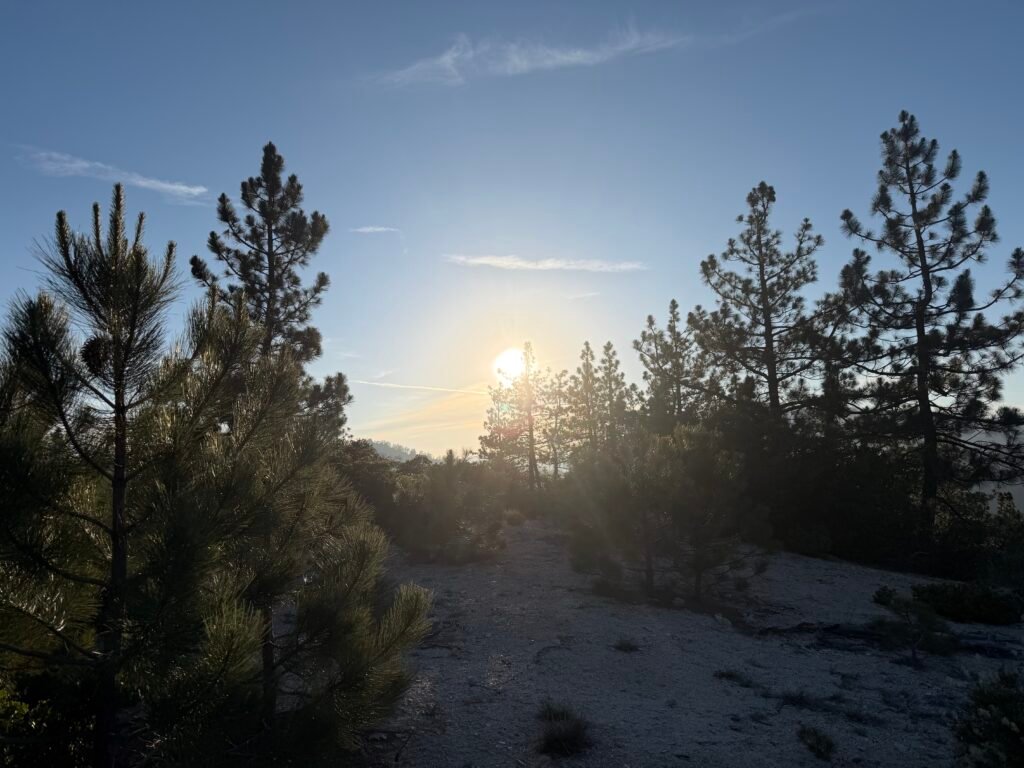
Sunset from the ridge:
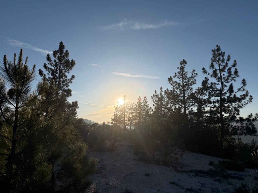
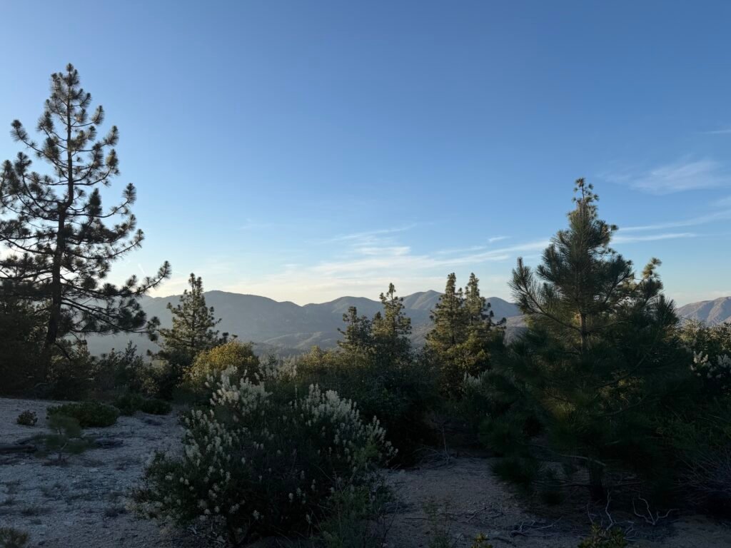
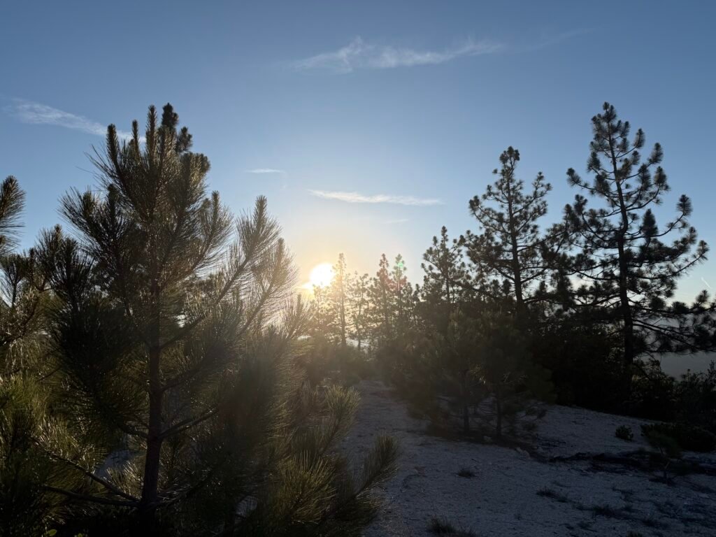

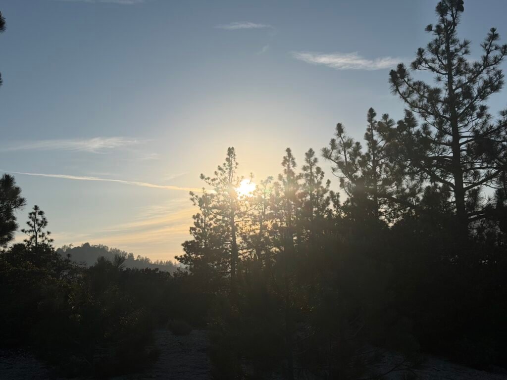
PCT Mile 393.8 to 404.8 – 11 miles total hiked on PCT + 2.2 mile detour trail = 13.2 total miles hiked this day
PCT 2026 Day 38 Photos and Movies

Flickr collection of all PCT 2026 Photos and Movies, Organized by Trail Day: https://www.flickr.com/photos/wanderingjim/collections/72157727360883240



Comments by WanderingJim
PCT Mile 1528 and then…
"Yes, got home safe, but got trail sick and wanted to get..."
PCT DAY 85 – CA Section H
"No cell service in many parts of the PCT. Not dead yet."
PCT or BUST!
"Yes, I’ll be going through there by early August"
JMT 2020 Day 3
"I'm afraid I have no idea. Not really a fisherman, so don't..."
JMT 2020 Trek Day by Day
"Yeah, but with 9,000 pictures, it's hard to label each one..."