Wednesday, October 7th, 2026
That morning, I got up and checked the weather report. Still warm for the next 4-5 days, with a slight cooling trend later that week. But still no rain in any forecast I checked.
I found myself still hesitant to commit to starting to hike that morning as I heated up and ate my breakfast burrito. It wasn’t until I took another shower that I came to the conclusion that I should return to the trail and continue north towards Oregon.
Sometimes a hot shower is just what you need to make a decision on the PCT. 😀
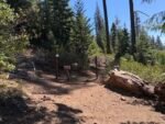
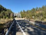
After a short road walk, I started up the steep trail that led north from the highway.
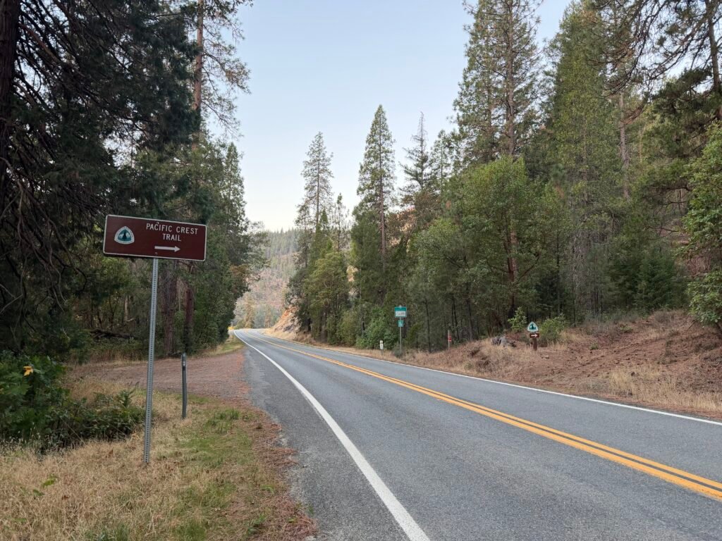
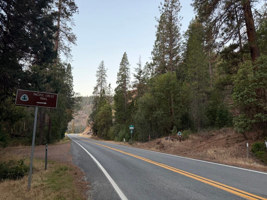
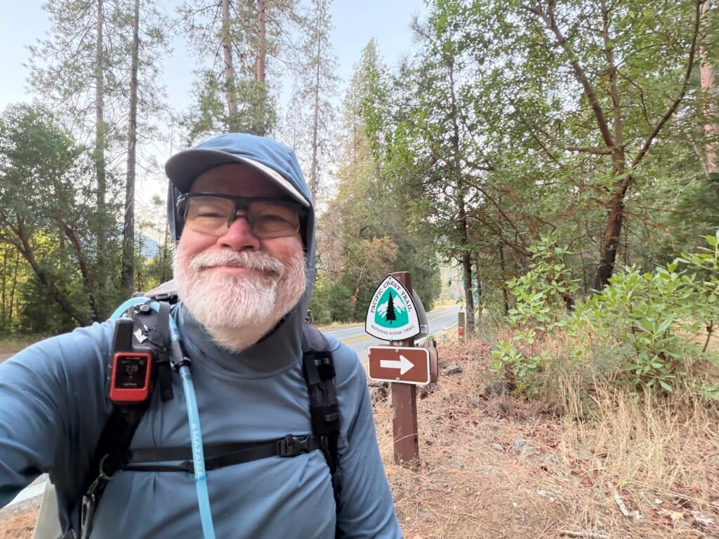
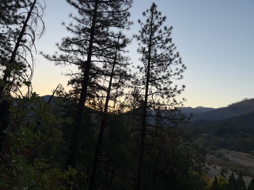
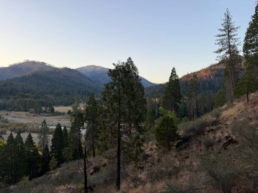
It was still early enough to catch some of the morning light from the rising sun over the mountains to the east.
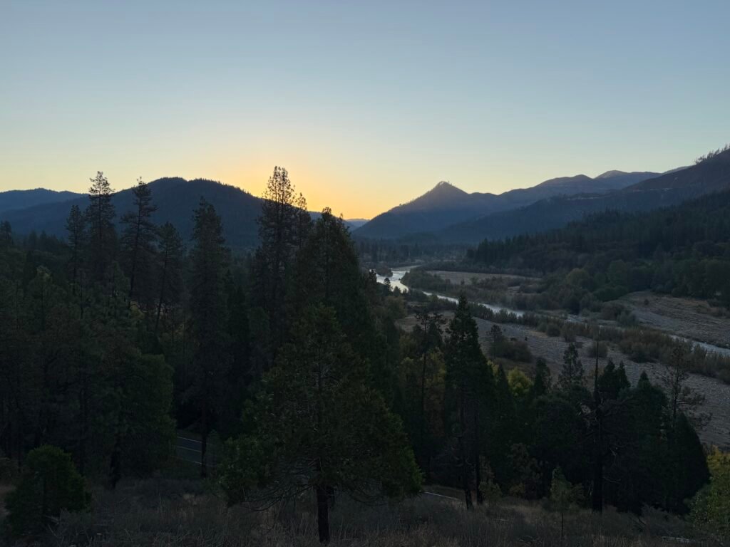
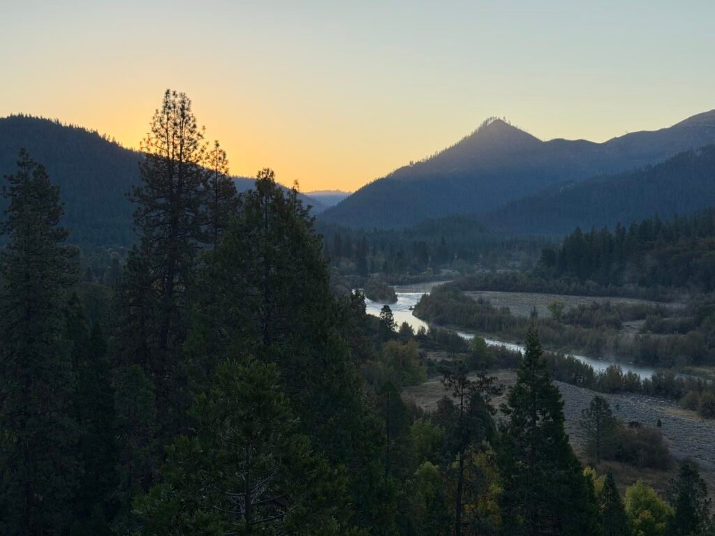
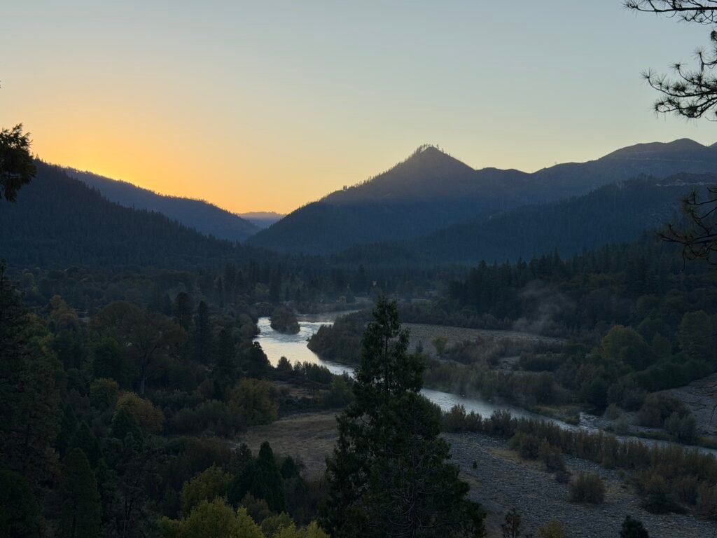
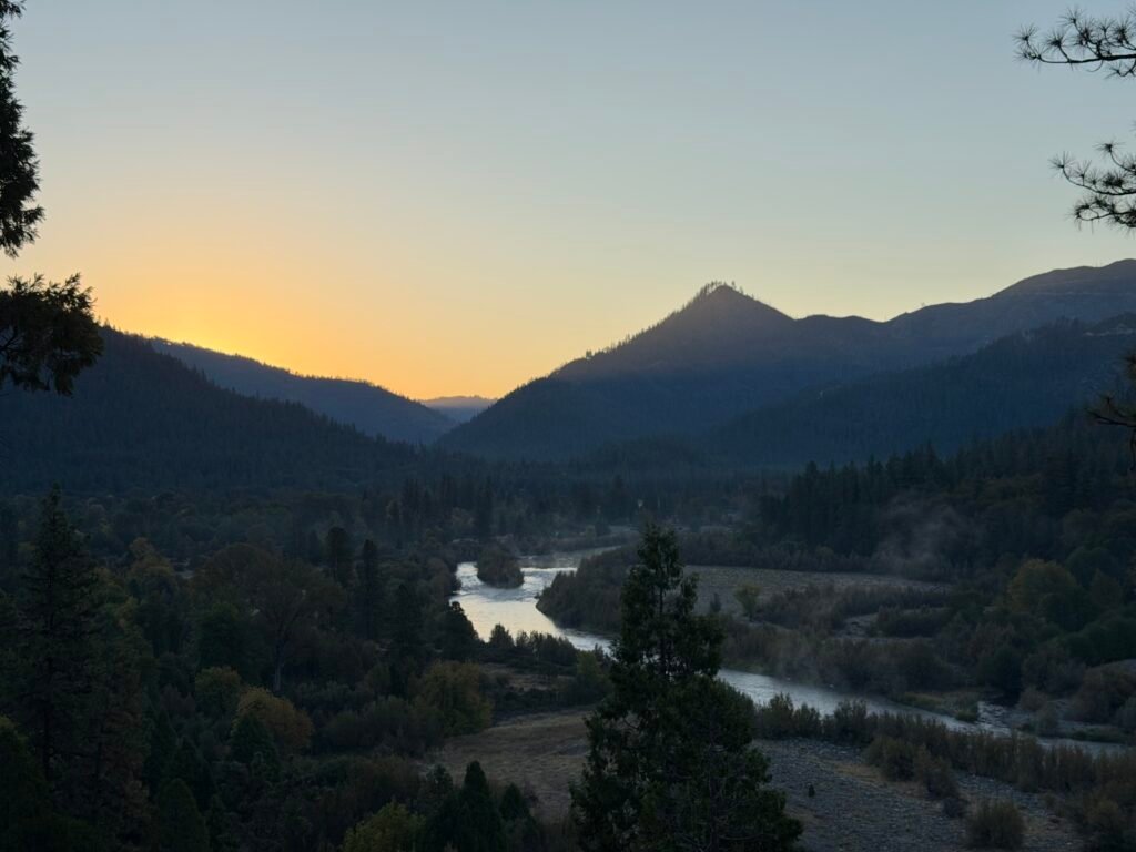
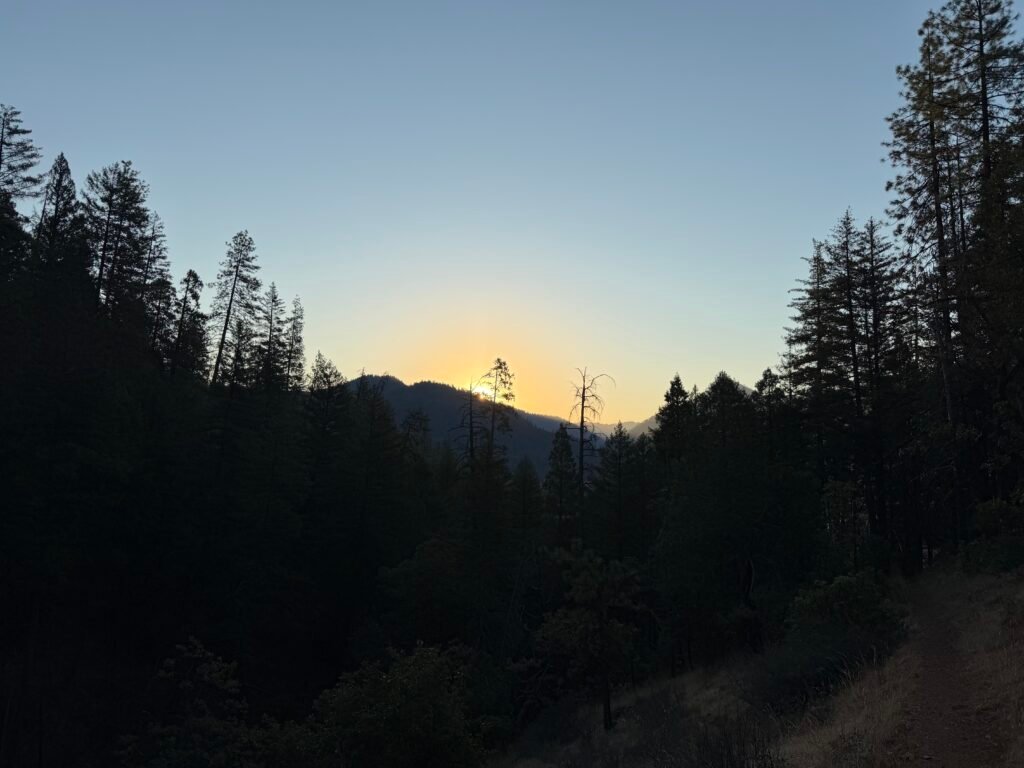
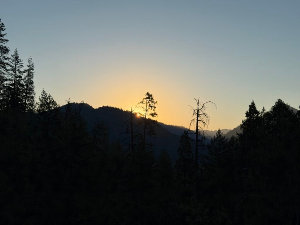
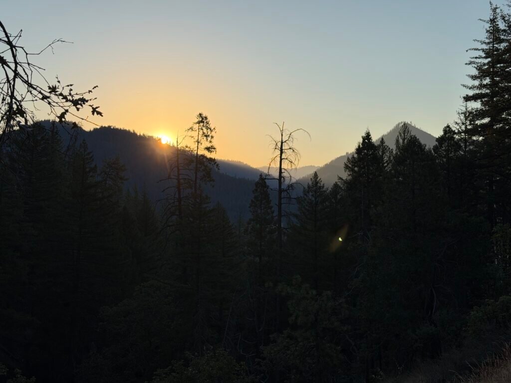
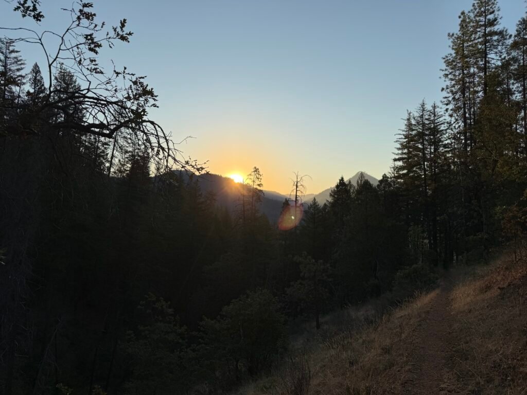
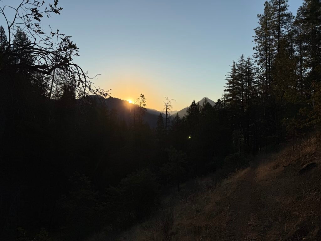
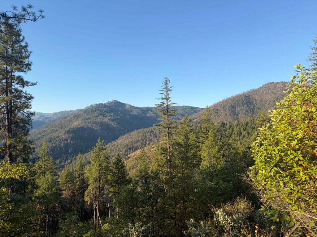
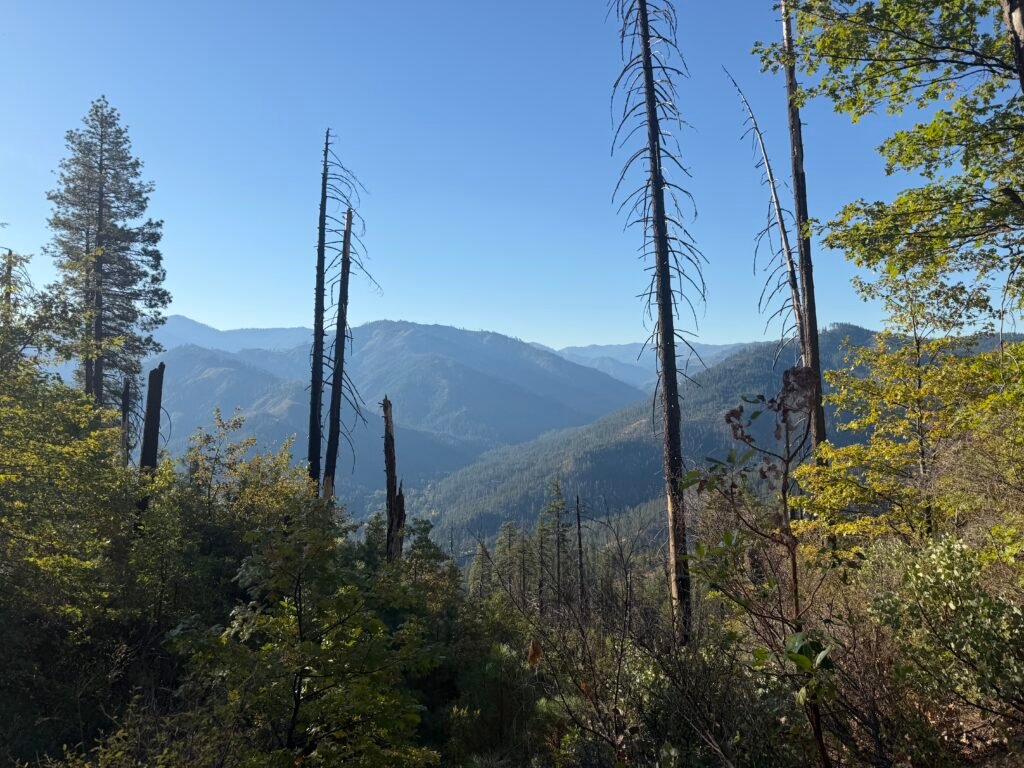
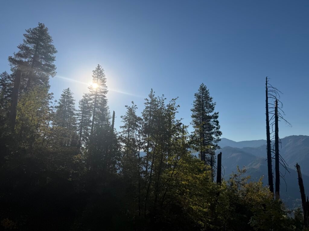
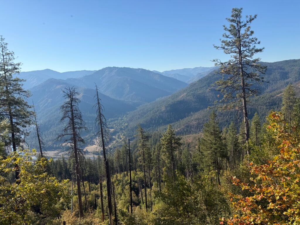
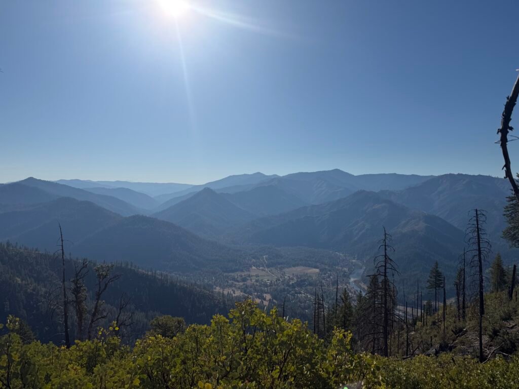
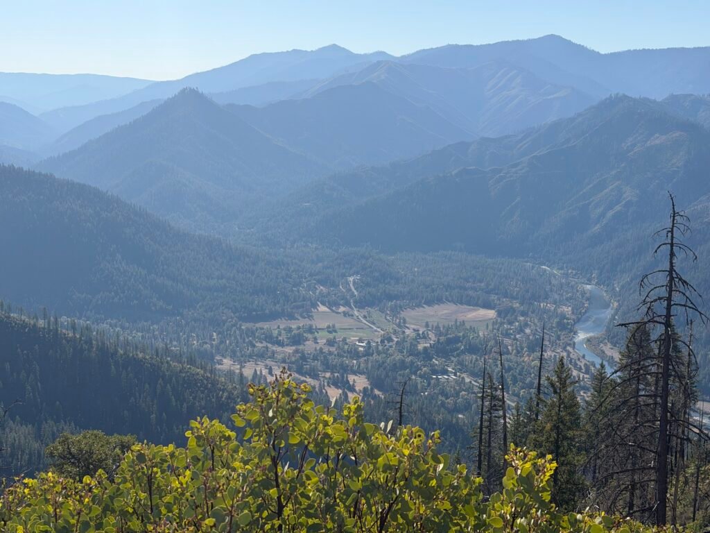
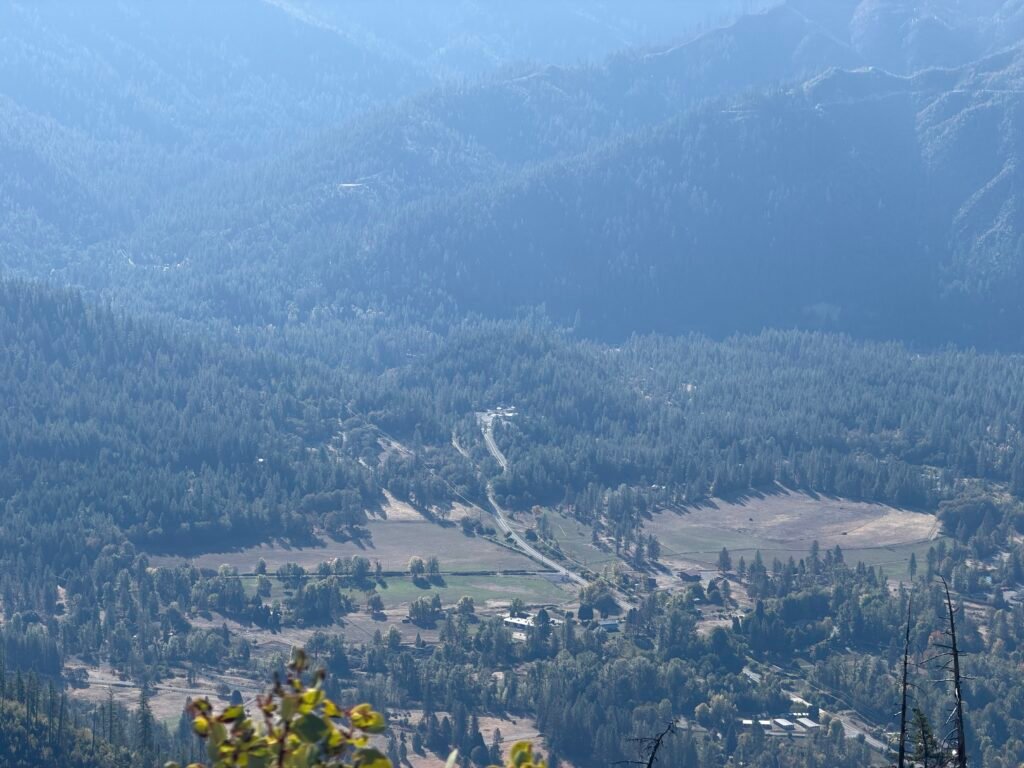
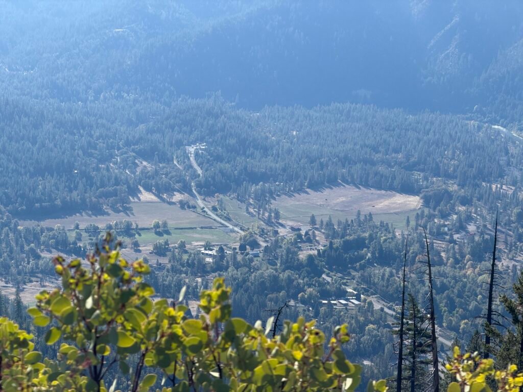
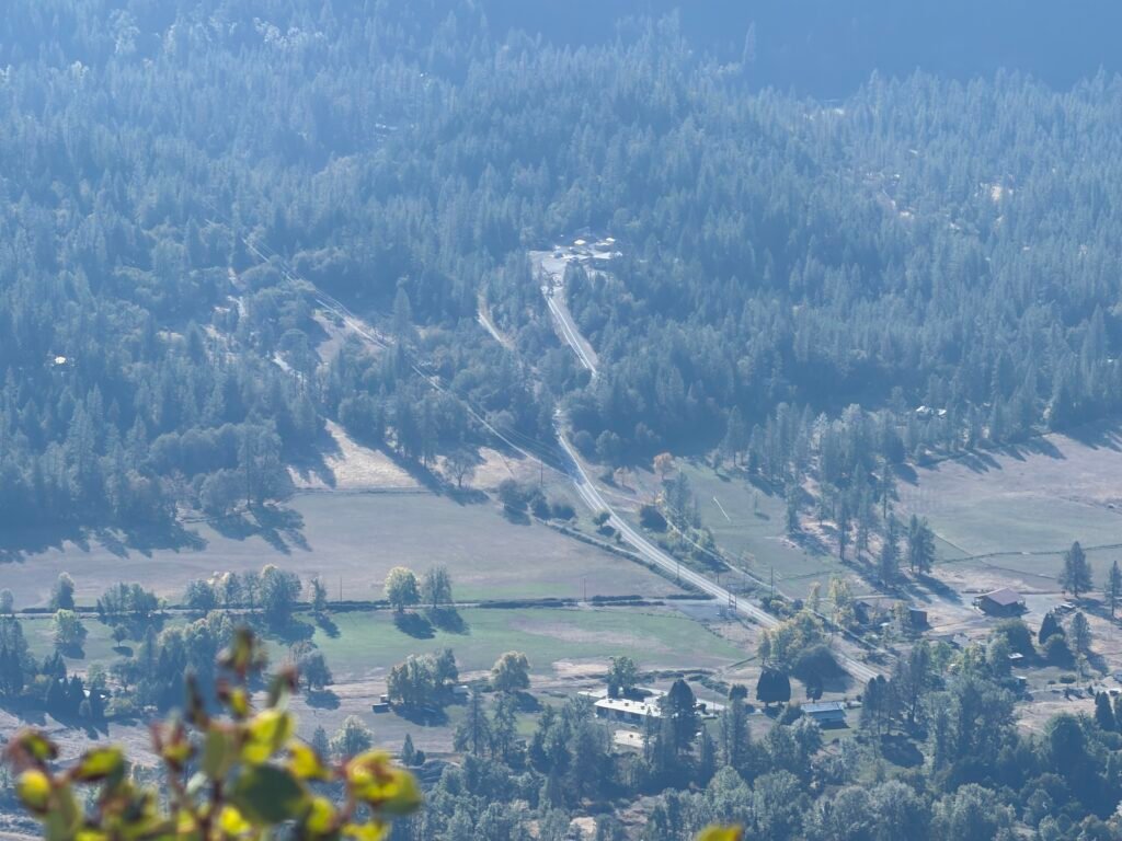
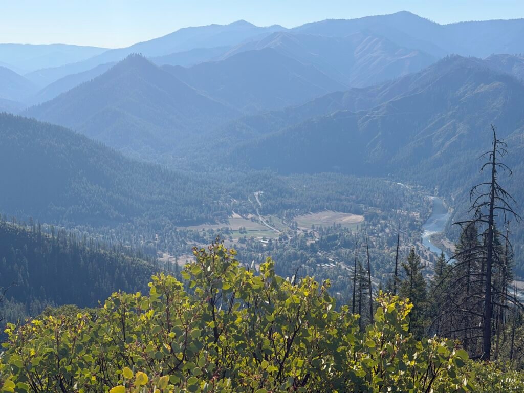
As expected, the first two miles weren’t that bad. Meaning they weren’t a 90 degree vertical climb. 😀
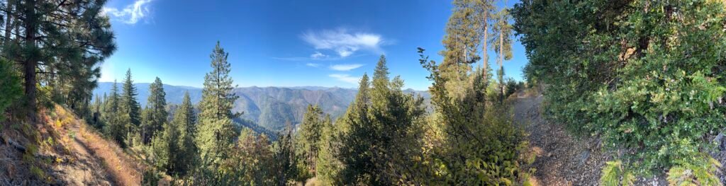
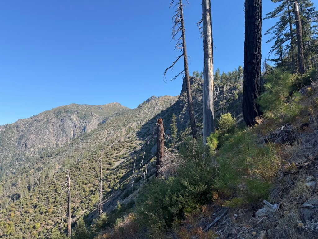
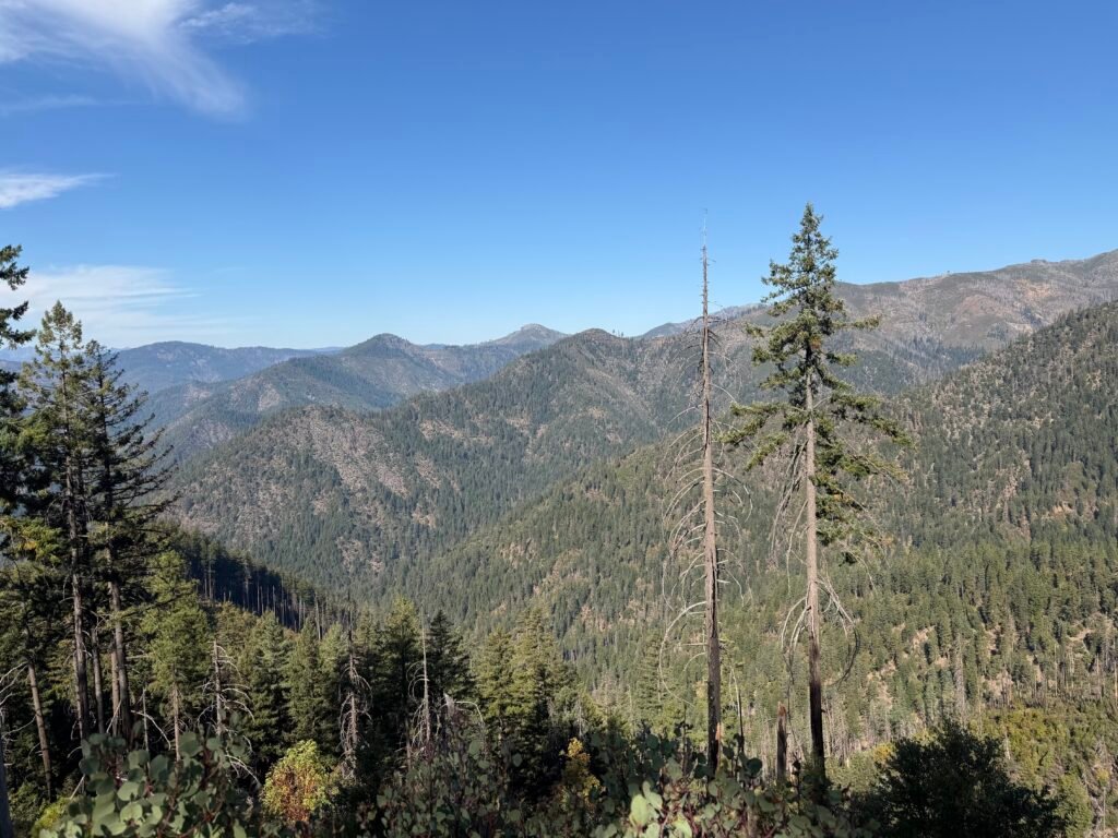
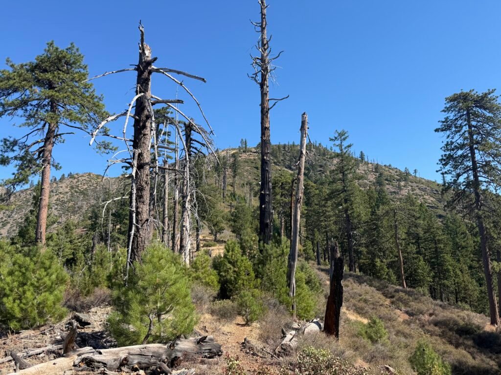
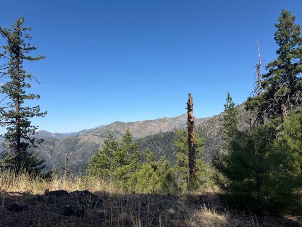
Oddly, the next 2 miles were also not that bad. I was pleasantly surprised at my speed in climbing the first 4 miles. It was a steep climb, but not anything I haven’t climbed countless number of times on the PCT this year.
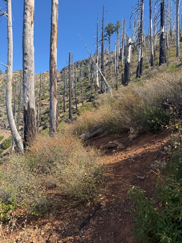
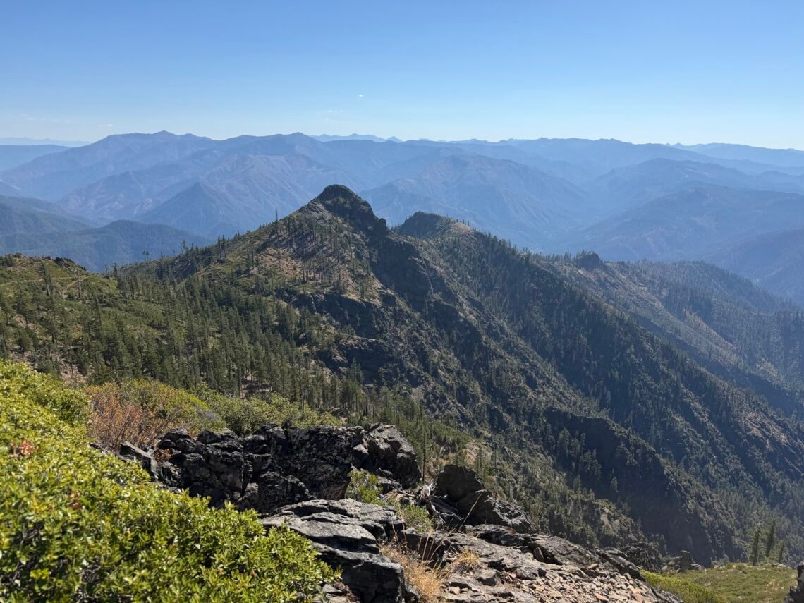
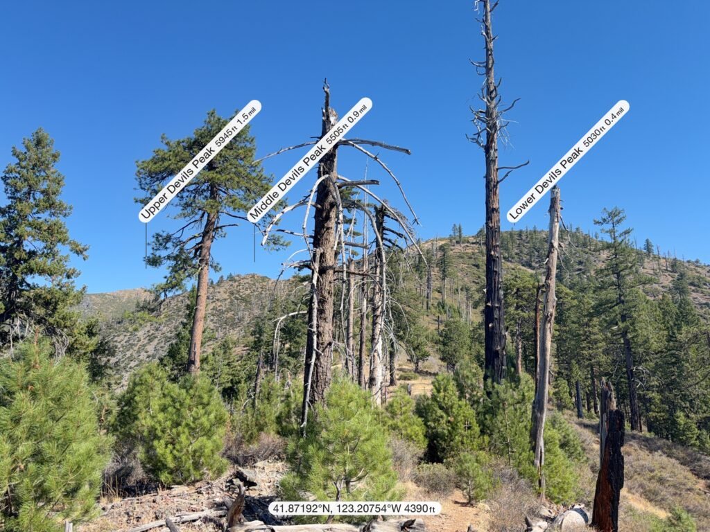
The trail climbed past three mountain peaks that made up the three “Devils Peaks”. Lower, Middle, and Upper.
That and the large boulder along the trail should have warned me of what was to come.
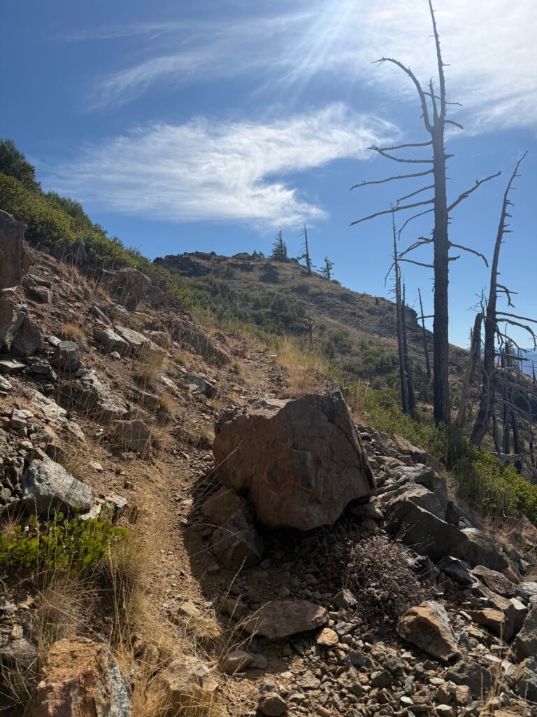
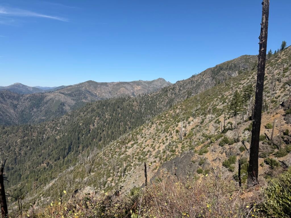
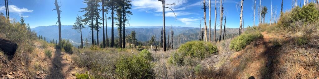
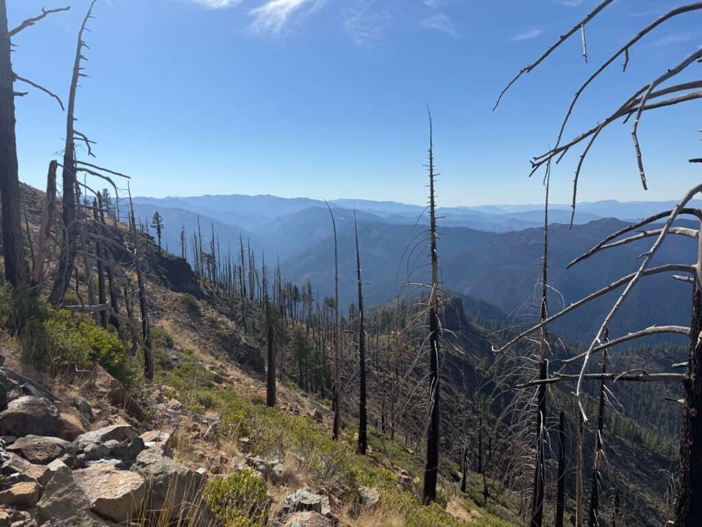
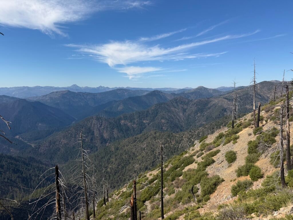
The trail started to get steeper. Much steeper.
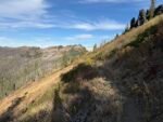
In many cases, it just went straight up the steep mountain side. As much as I badmouthed switchbacks as I climb them (partially in just… partially), I wish there were more on this particular part of the trail.
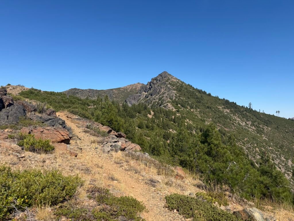
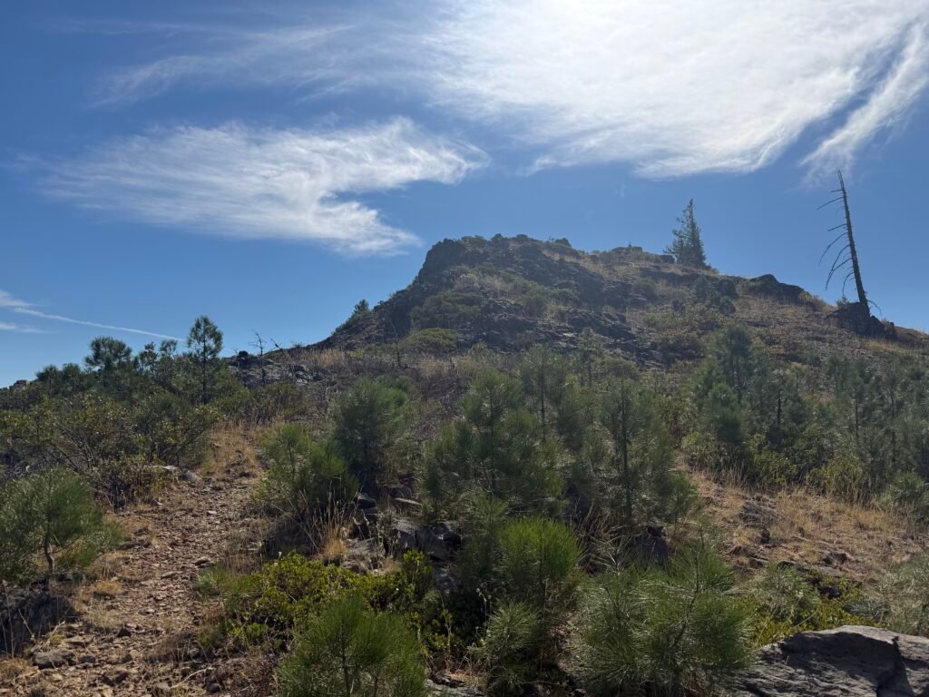
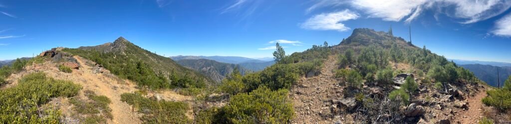
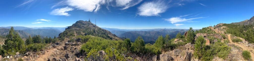
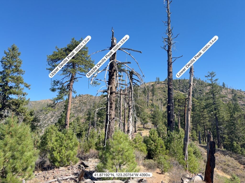
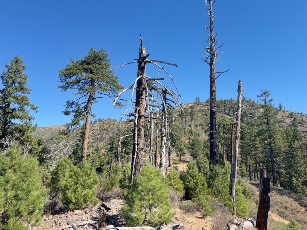
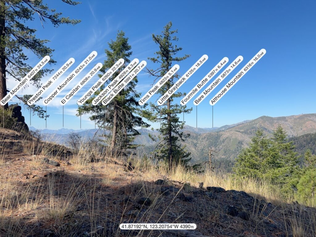
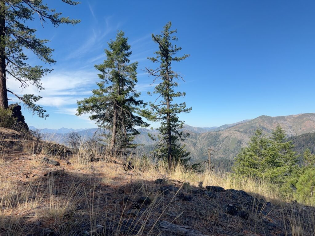
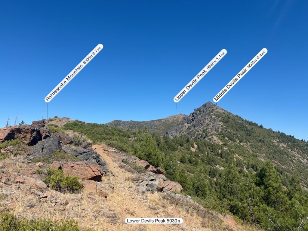
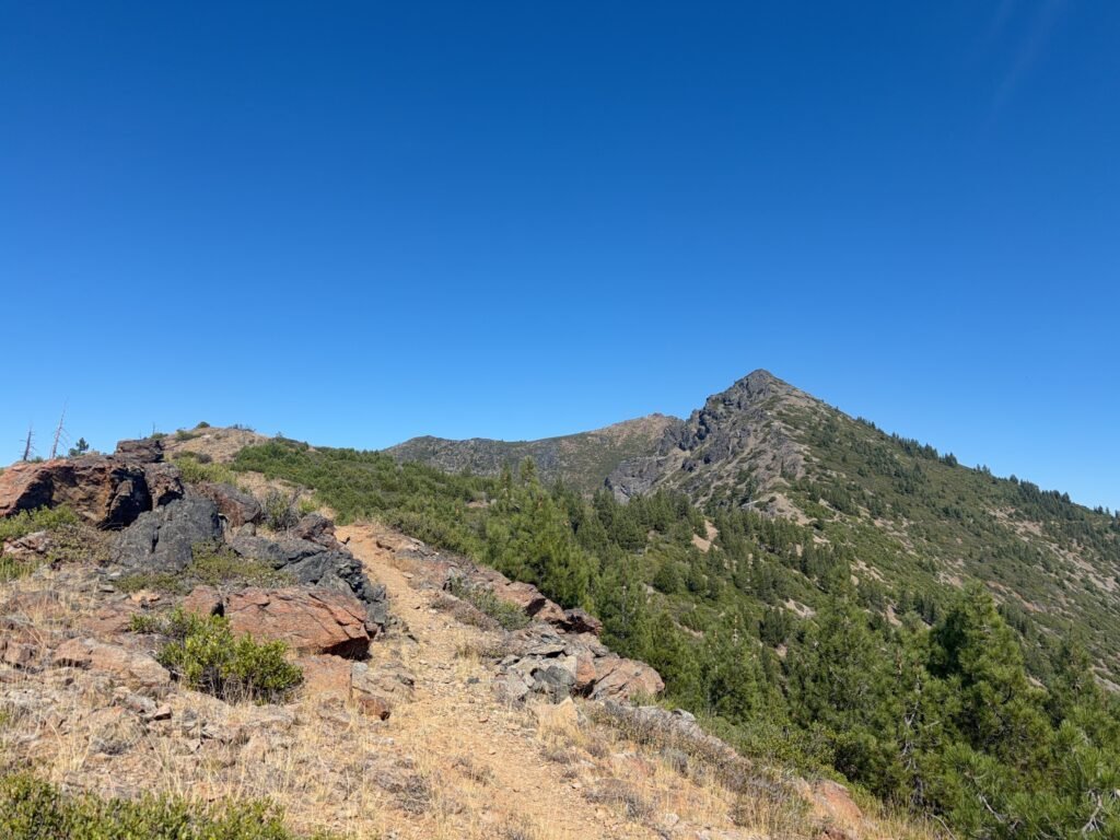
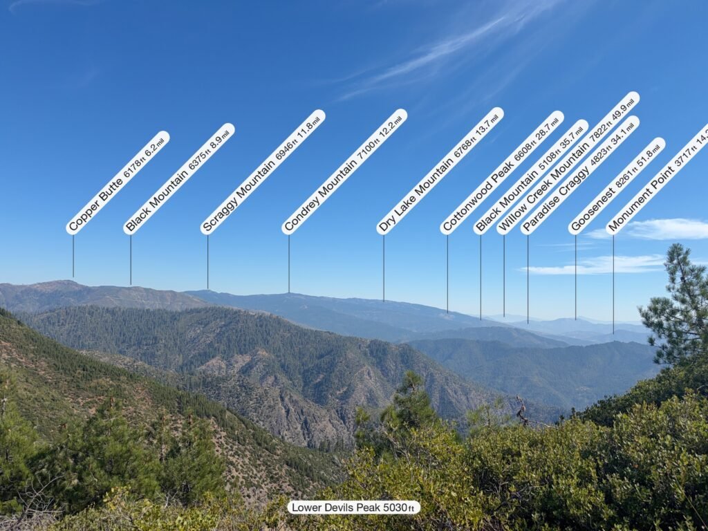
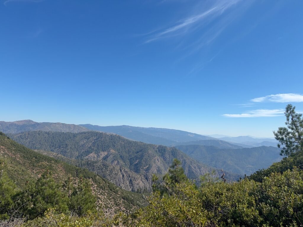
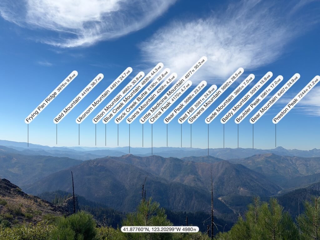
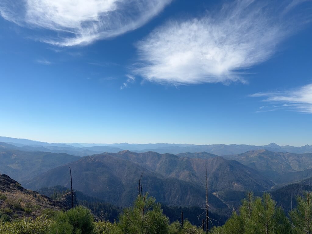
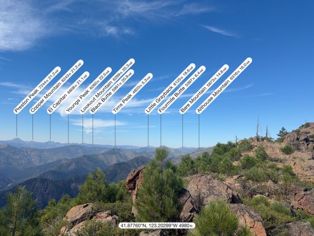
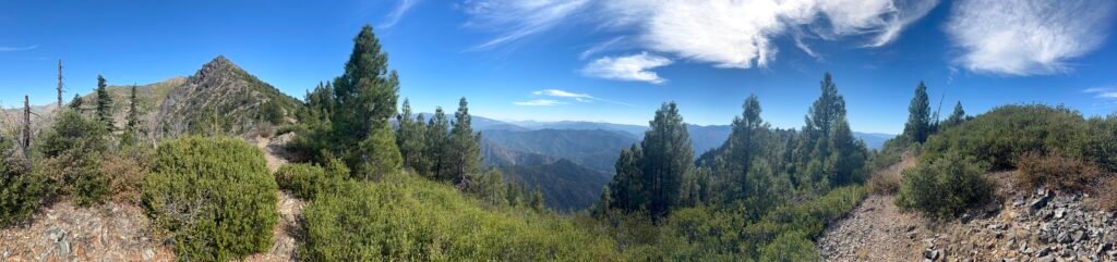
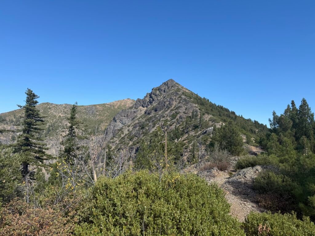
Although there was a mostly level trail to the top of Lower Devils Peak where there was a old fire lookout, I decided to focus on the actual PCT and kept climbing. The other two peaks were connected to the PCT by longer and steeper trails, so I was also not going to climb those either.
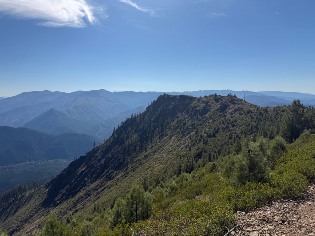
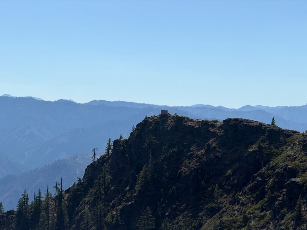
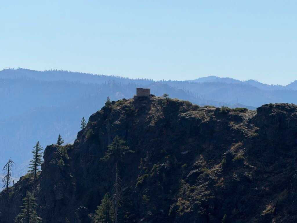
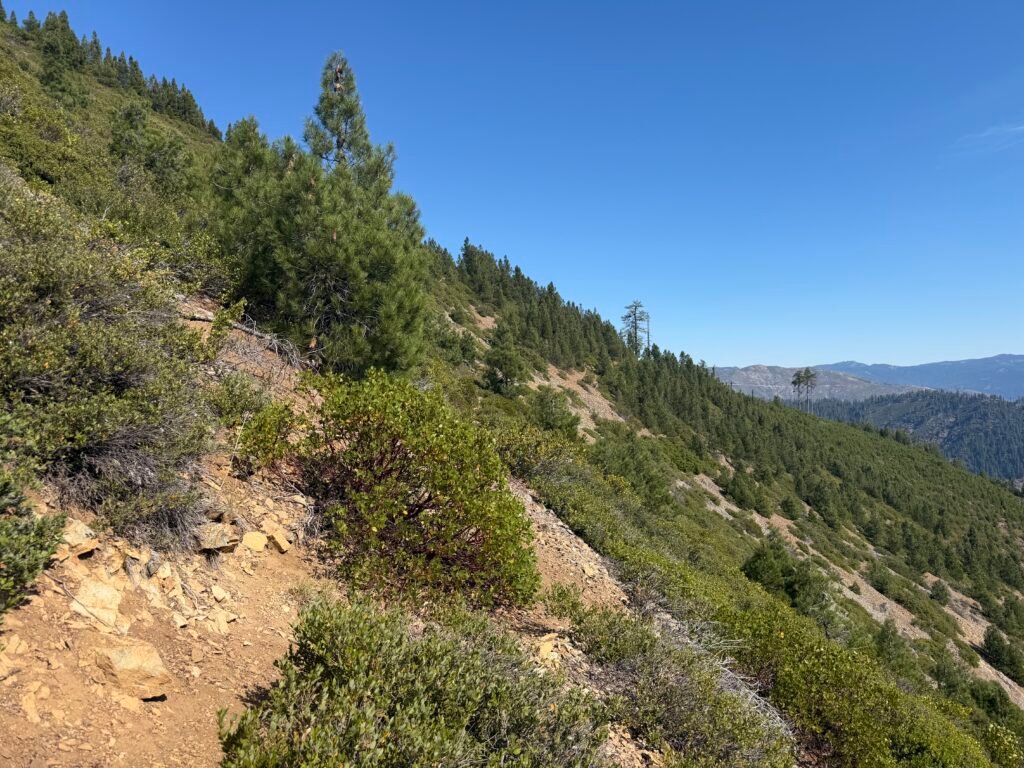
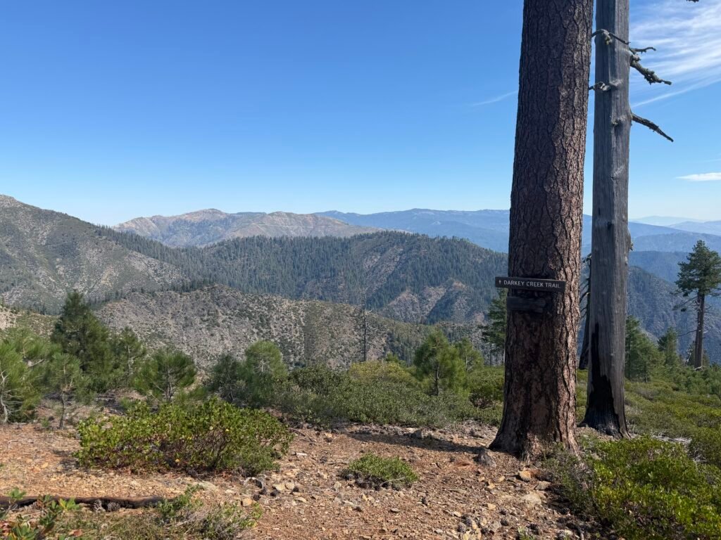
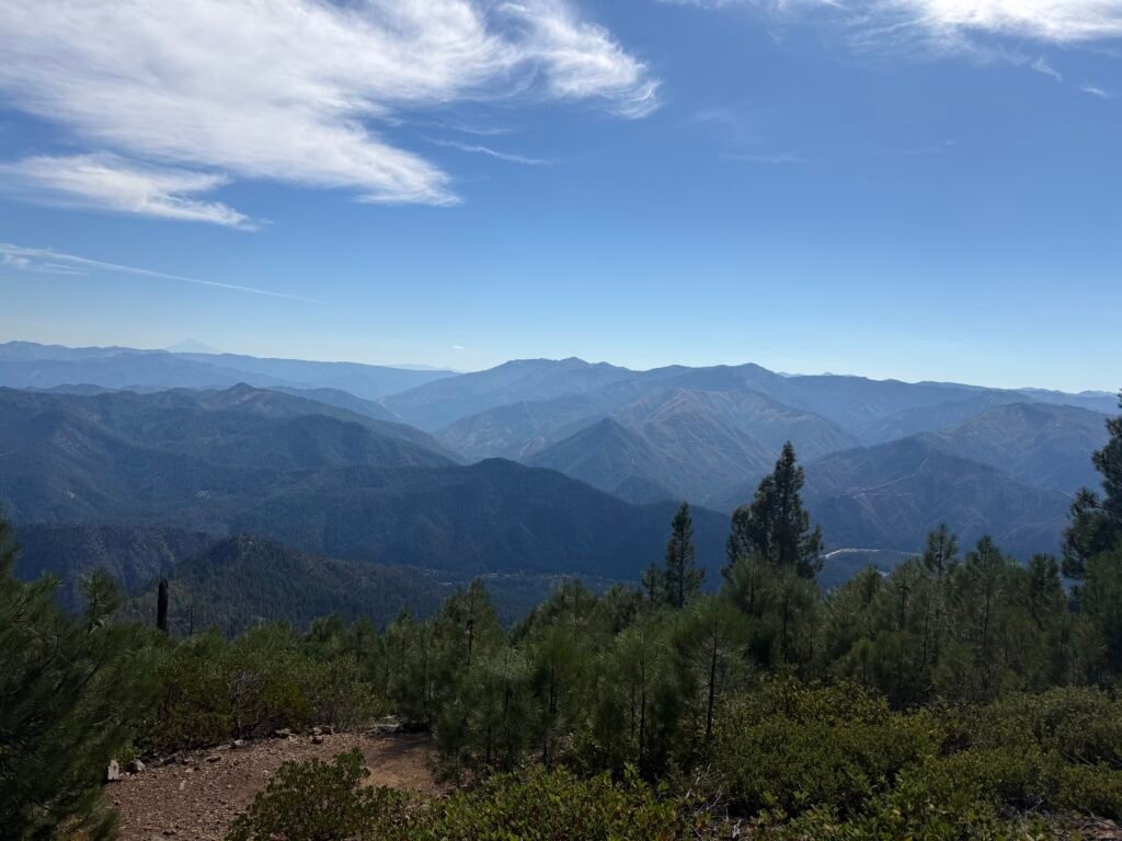
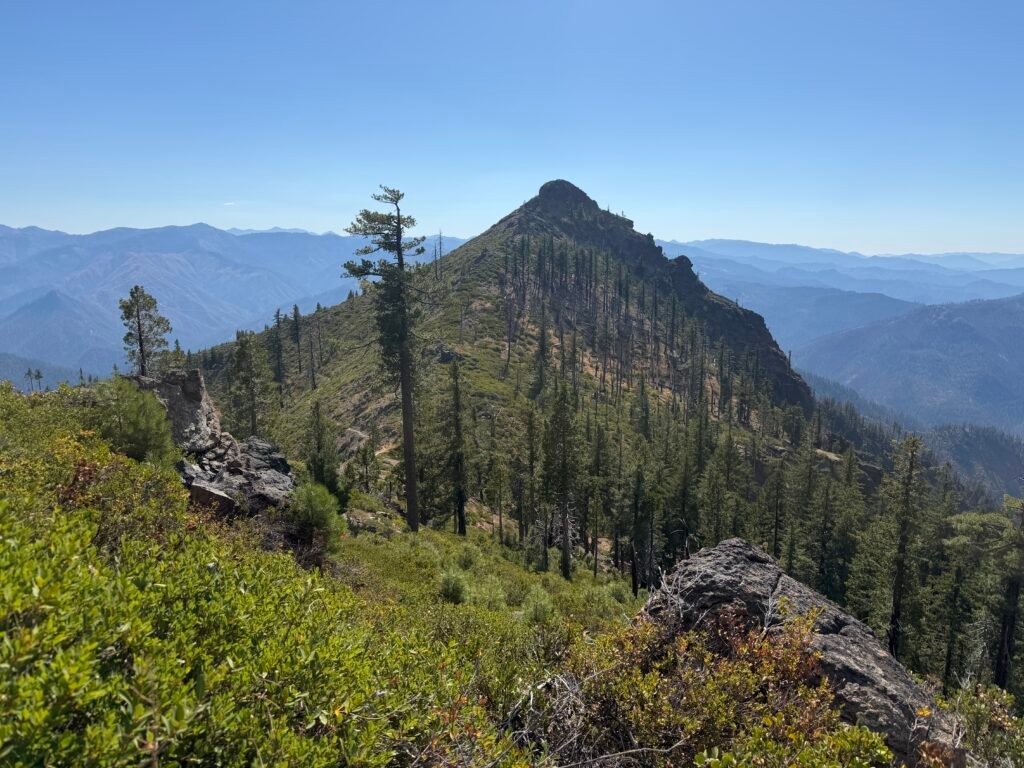
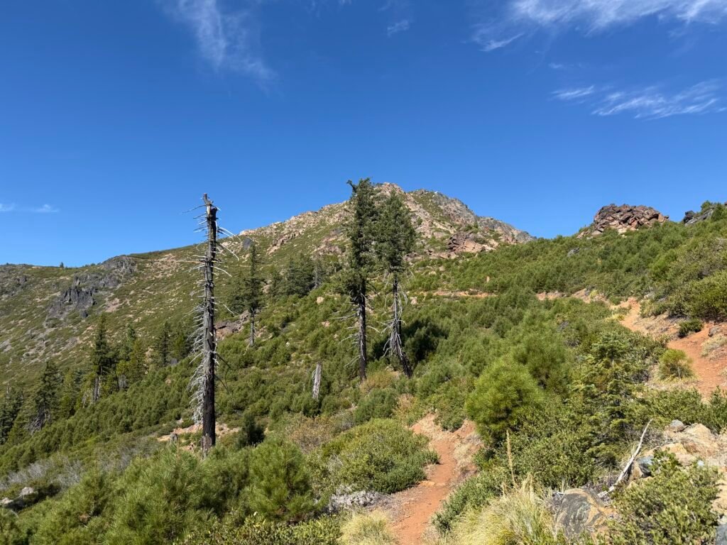
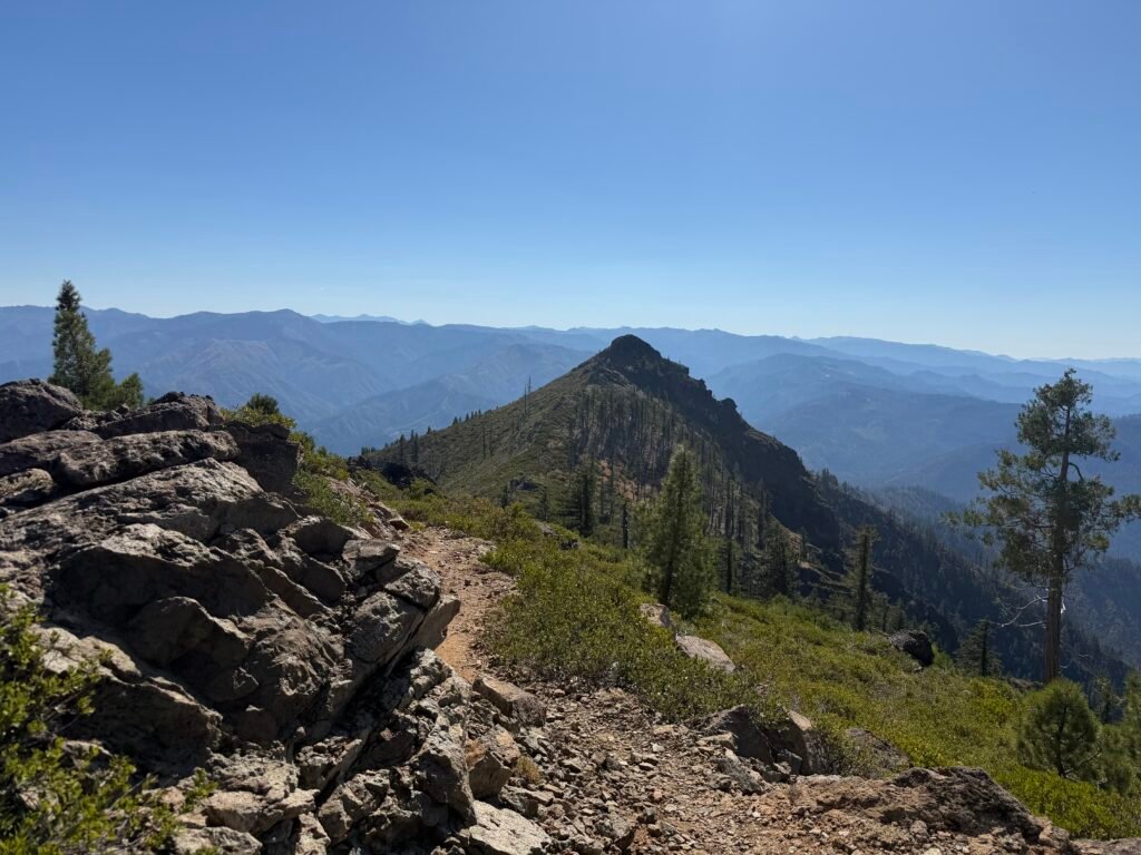
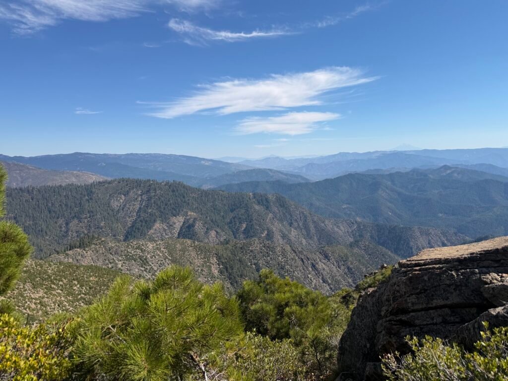
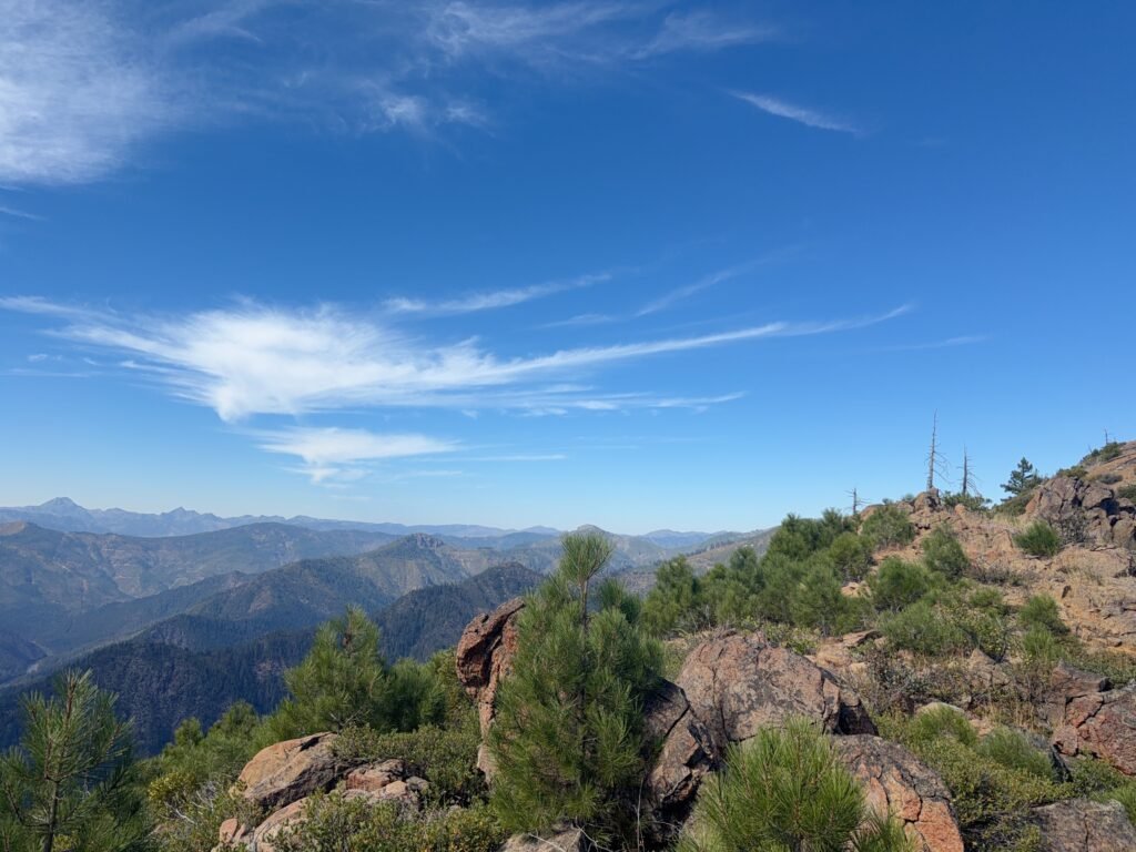
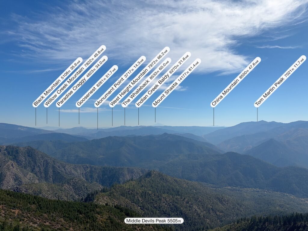
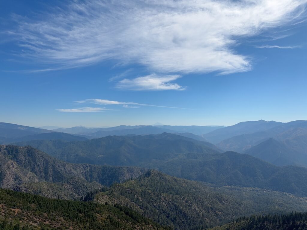
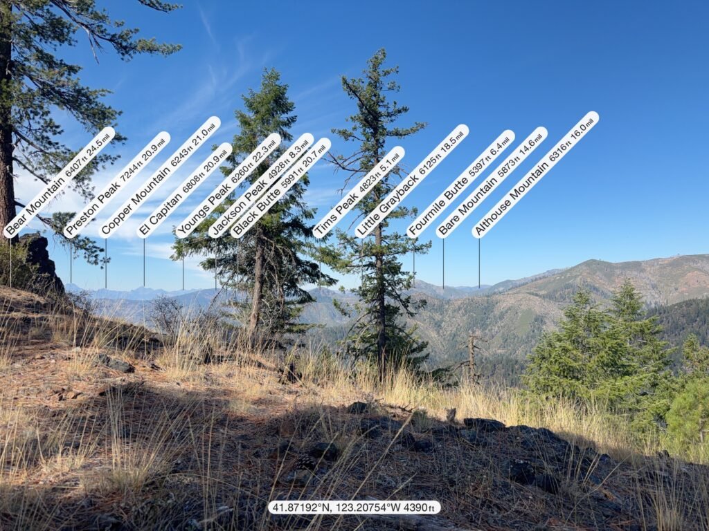
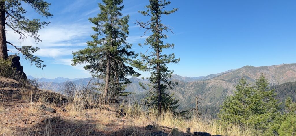
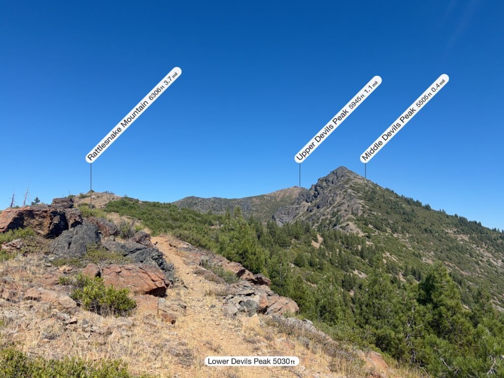
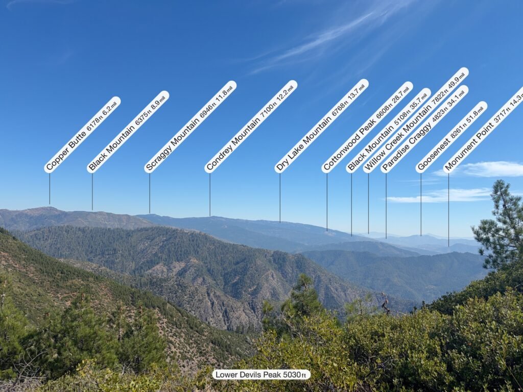
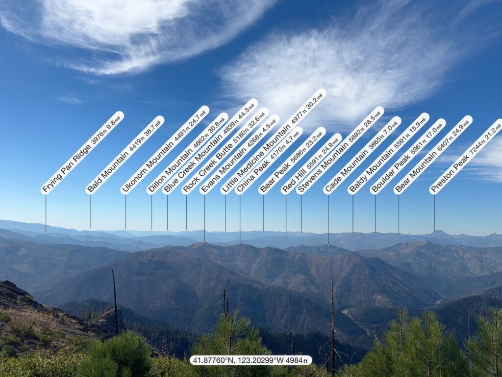
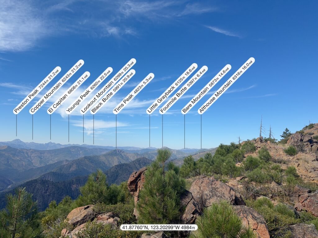
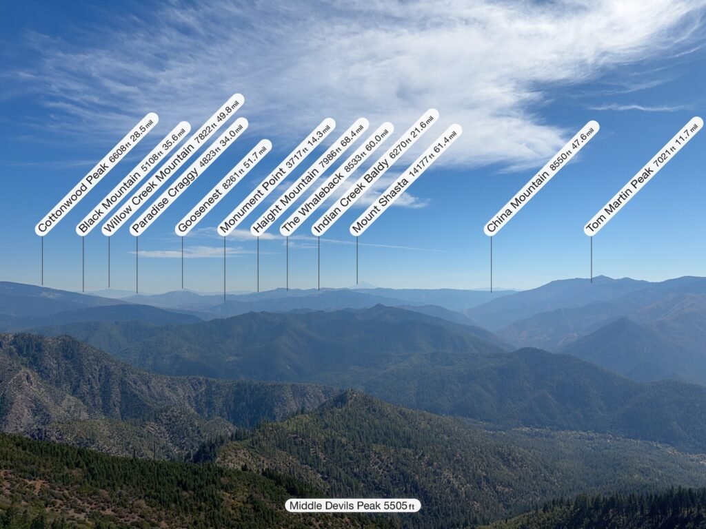
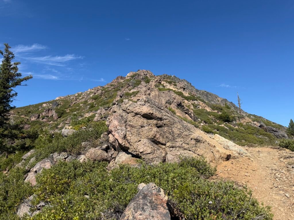
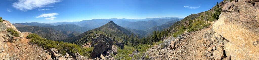
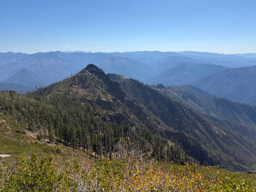
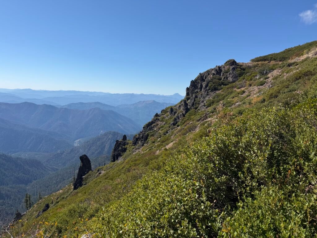
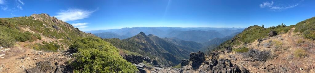
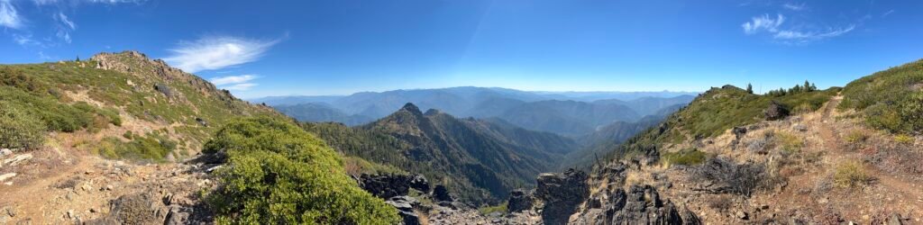
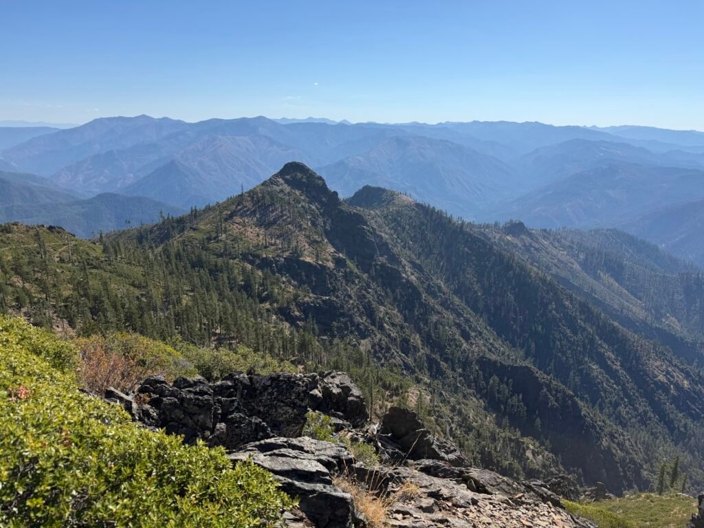
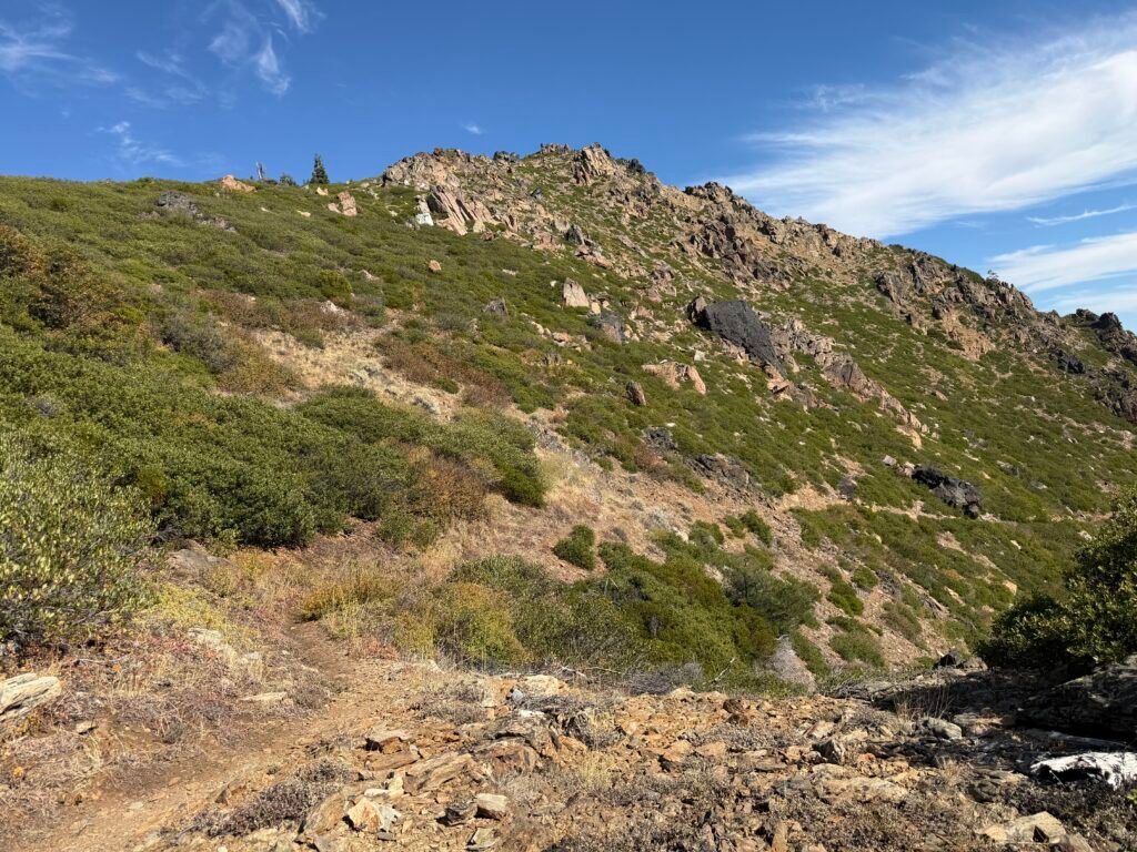
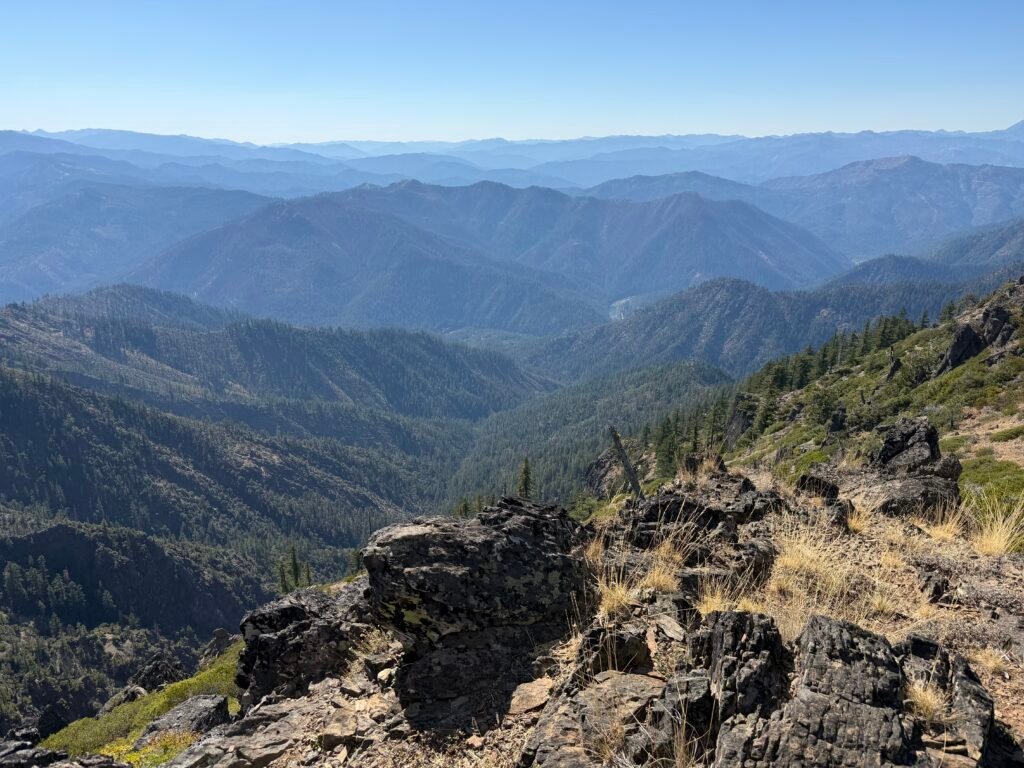
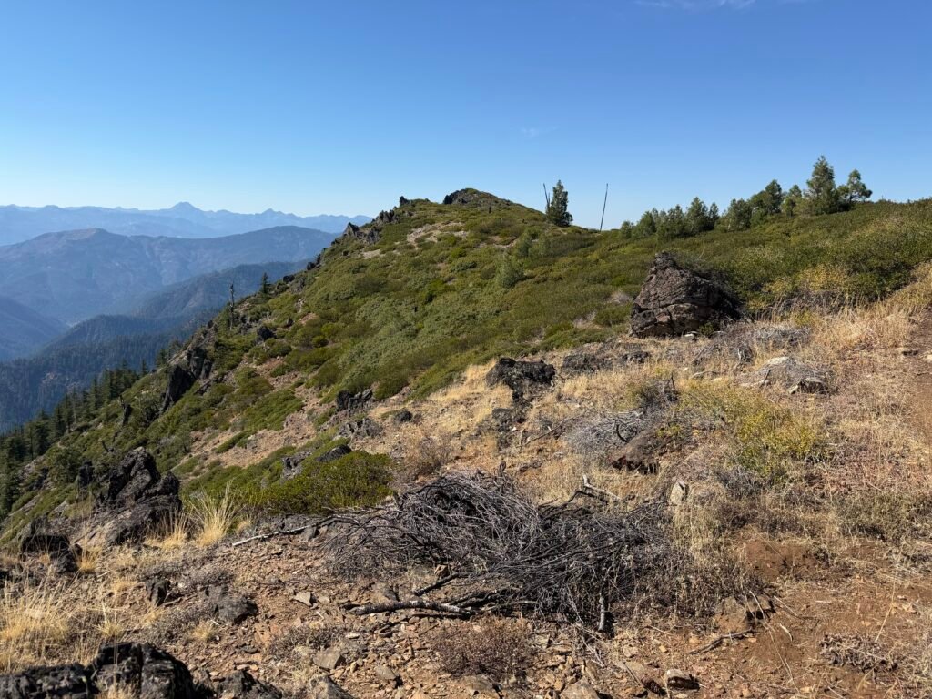
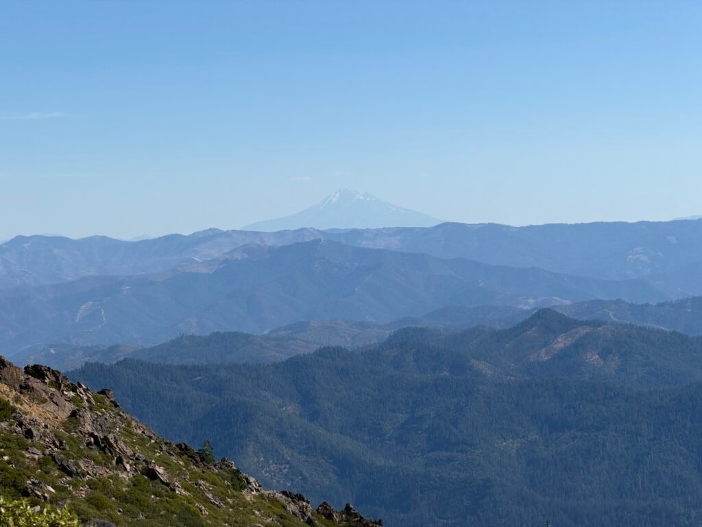
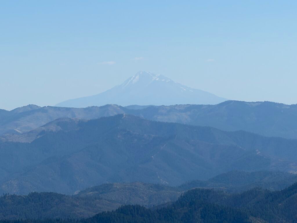
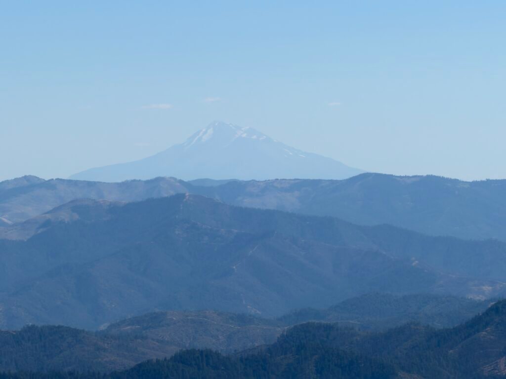
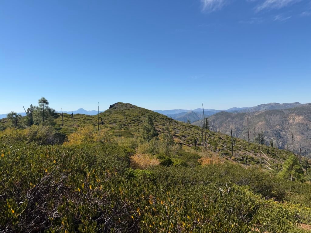
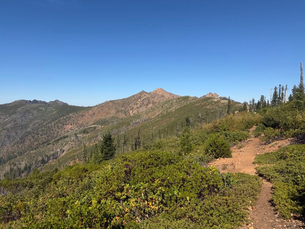
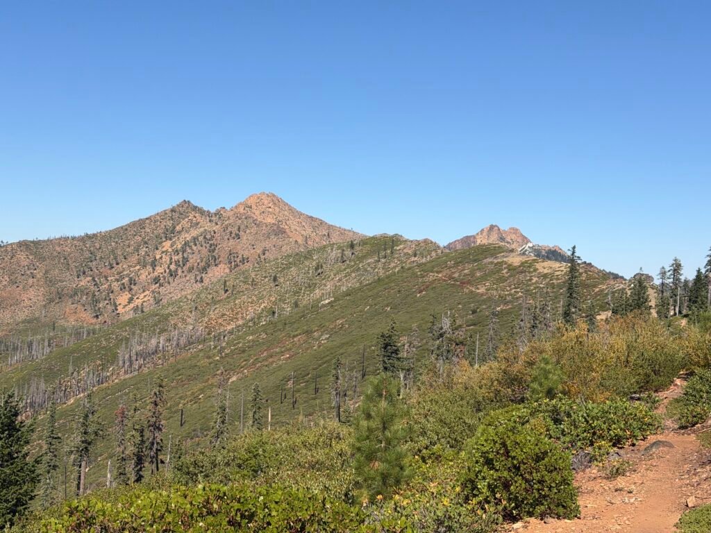
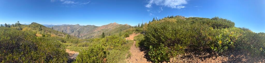
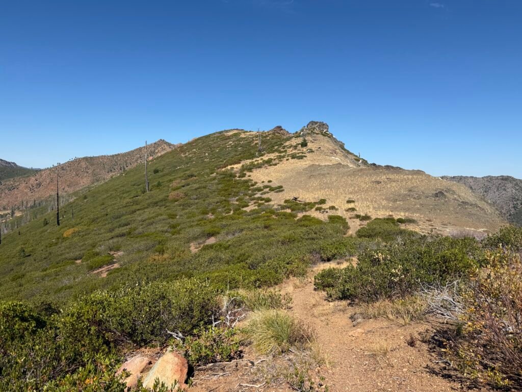
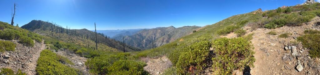
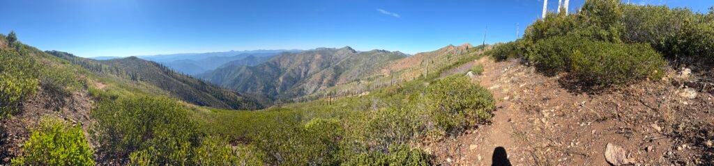
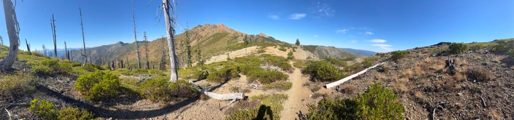
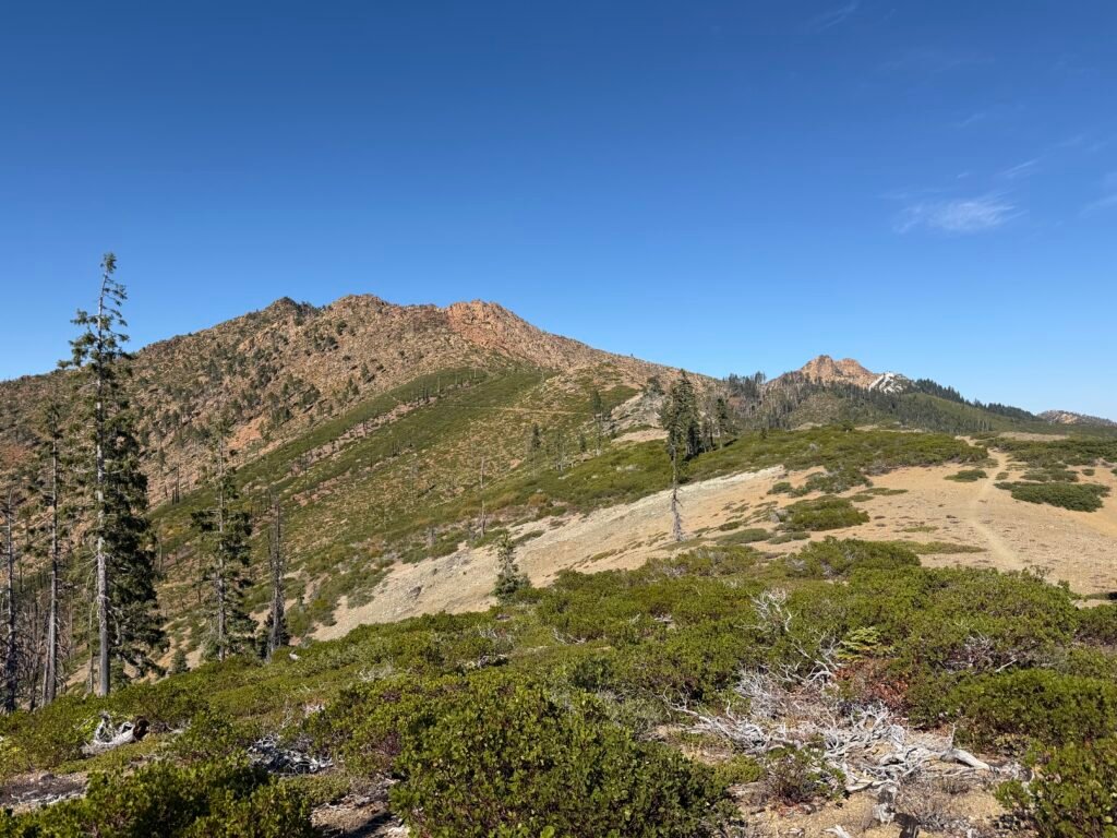
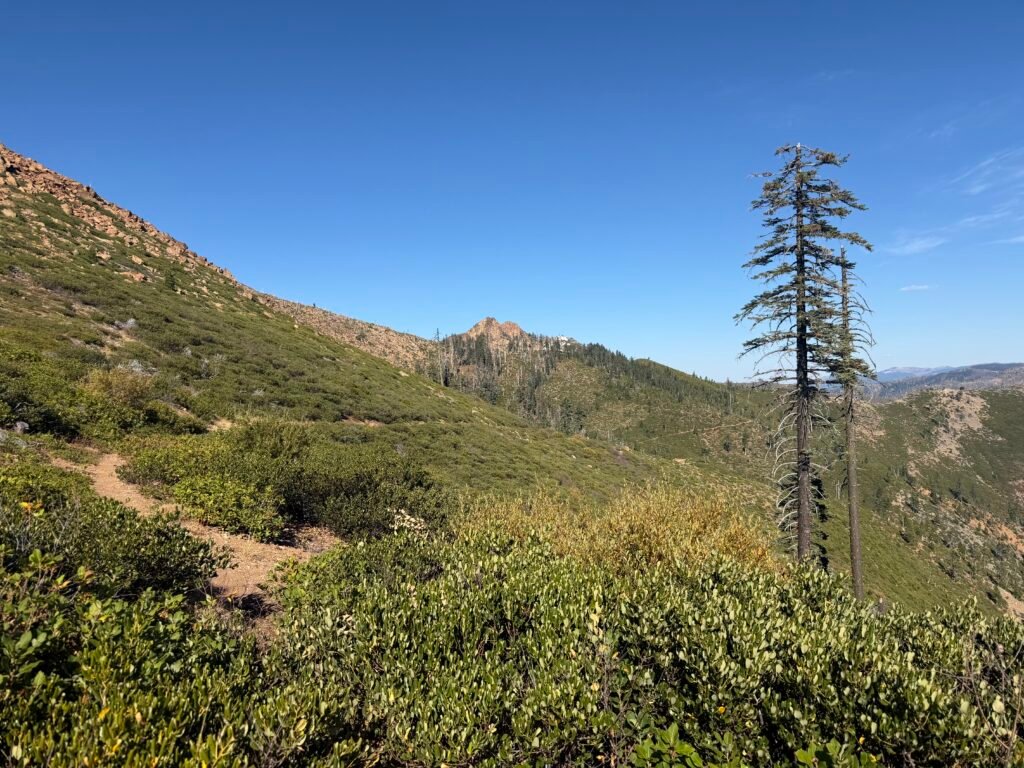
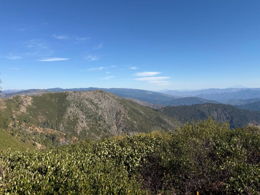
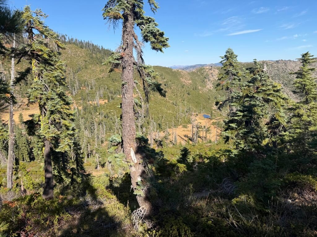
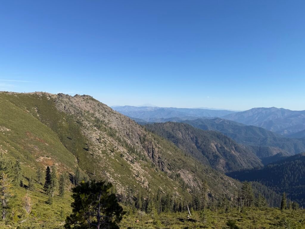
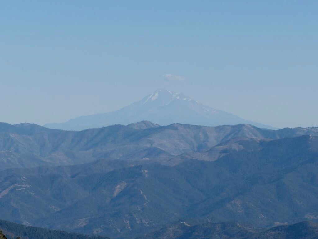
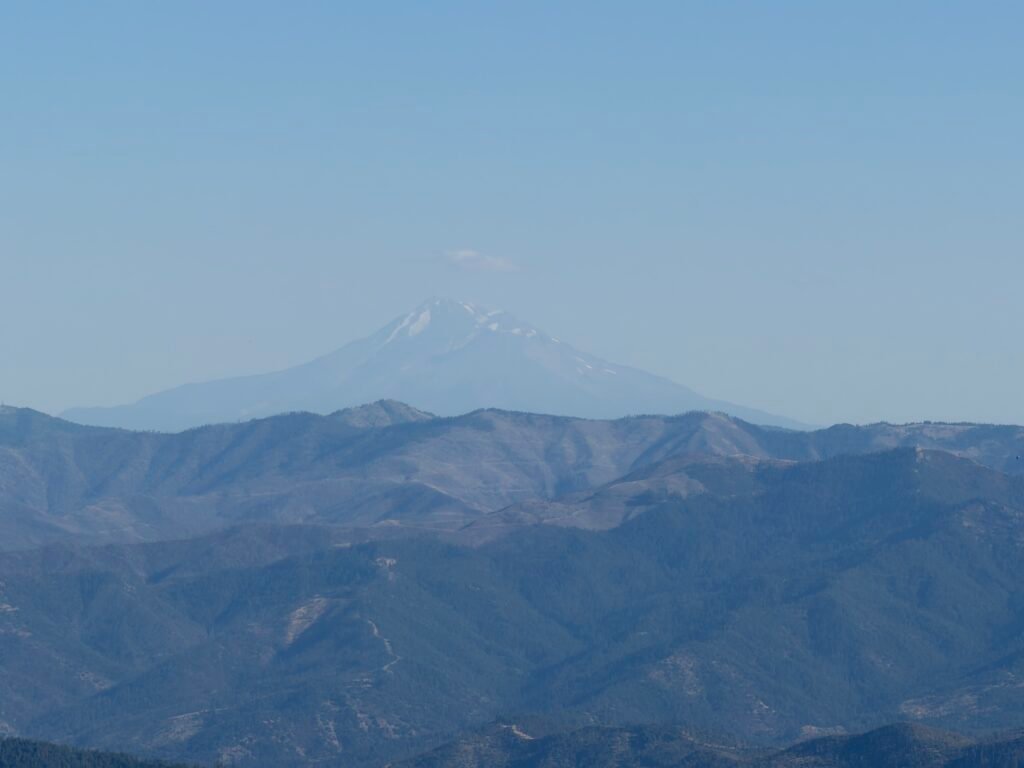
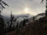
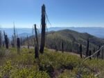
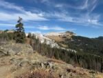
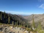
Although the scenic views on the way up were beautiful, I was happy when I finished the climb up from the valley.
But I was not happy that the last 2 miles had taken at least three times the time the first 4 miles had taken. It was mid afternoon.
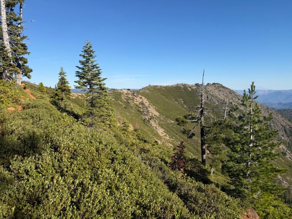
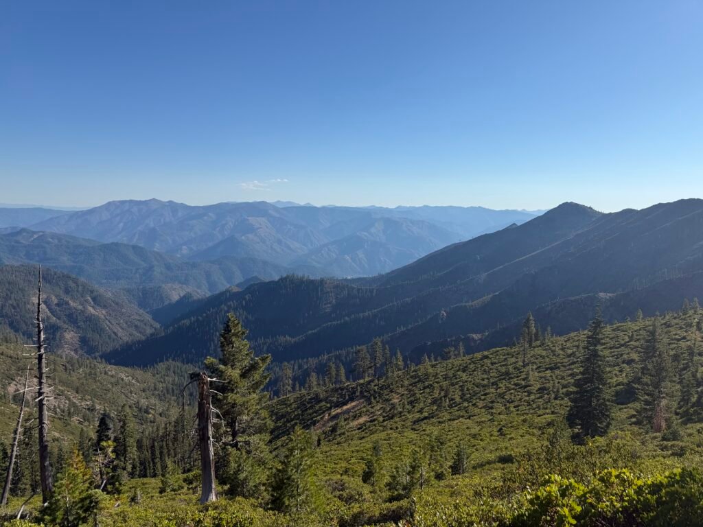
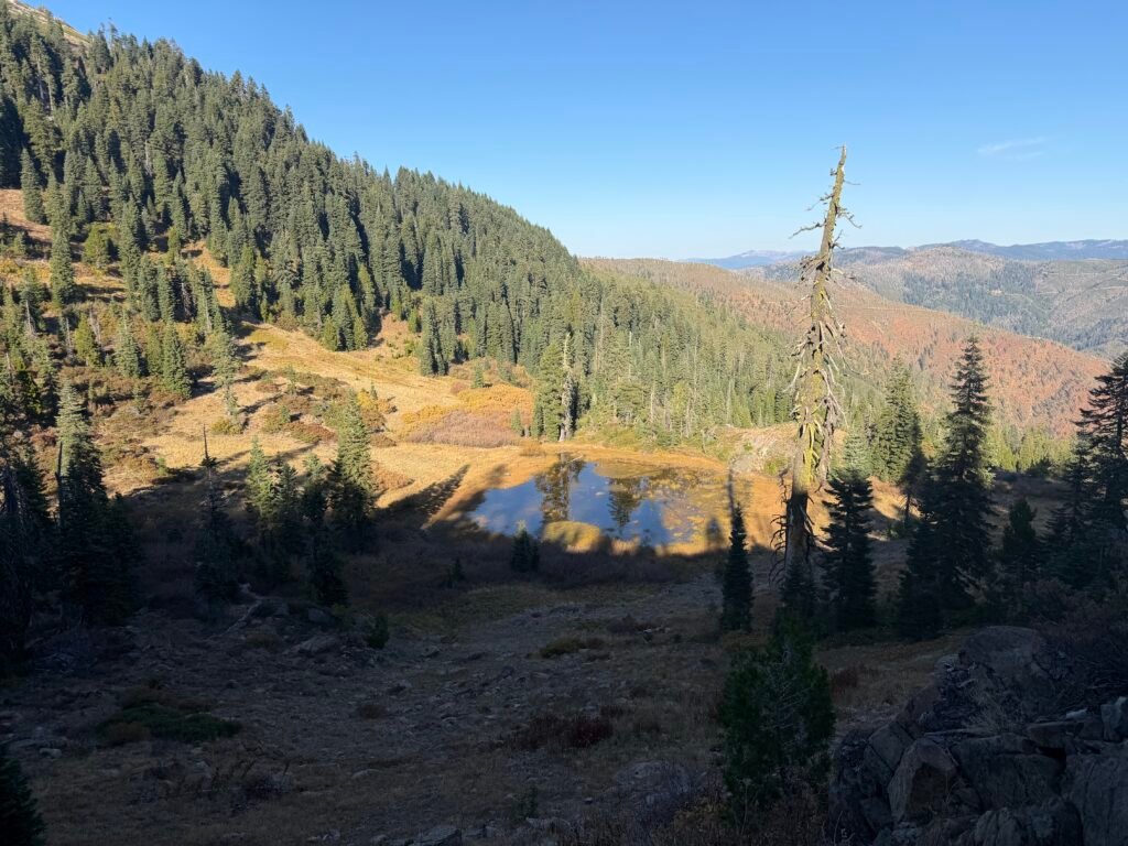
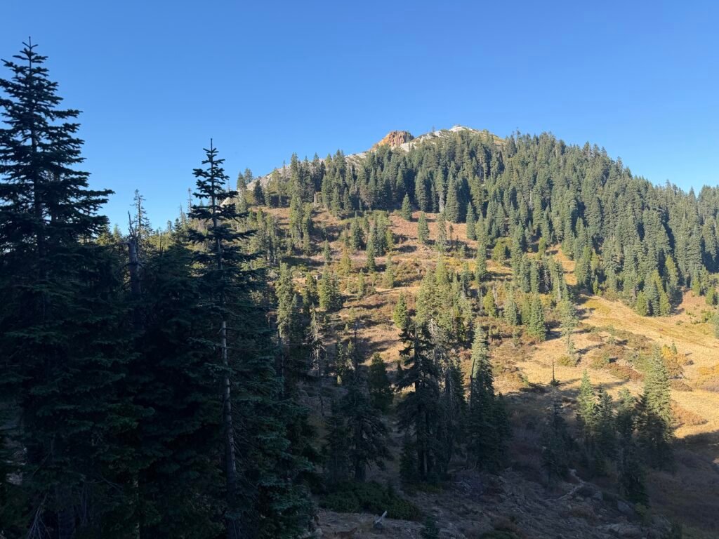
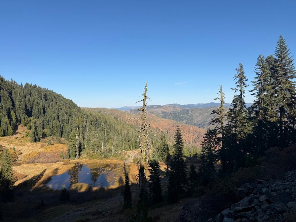
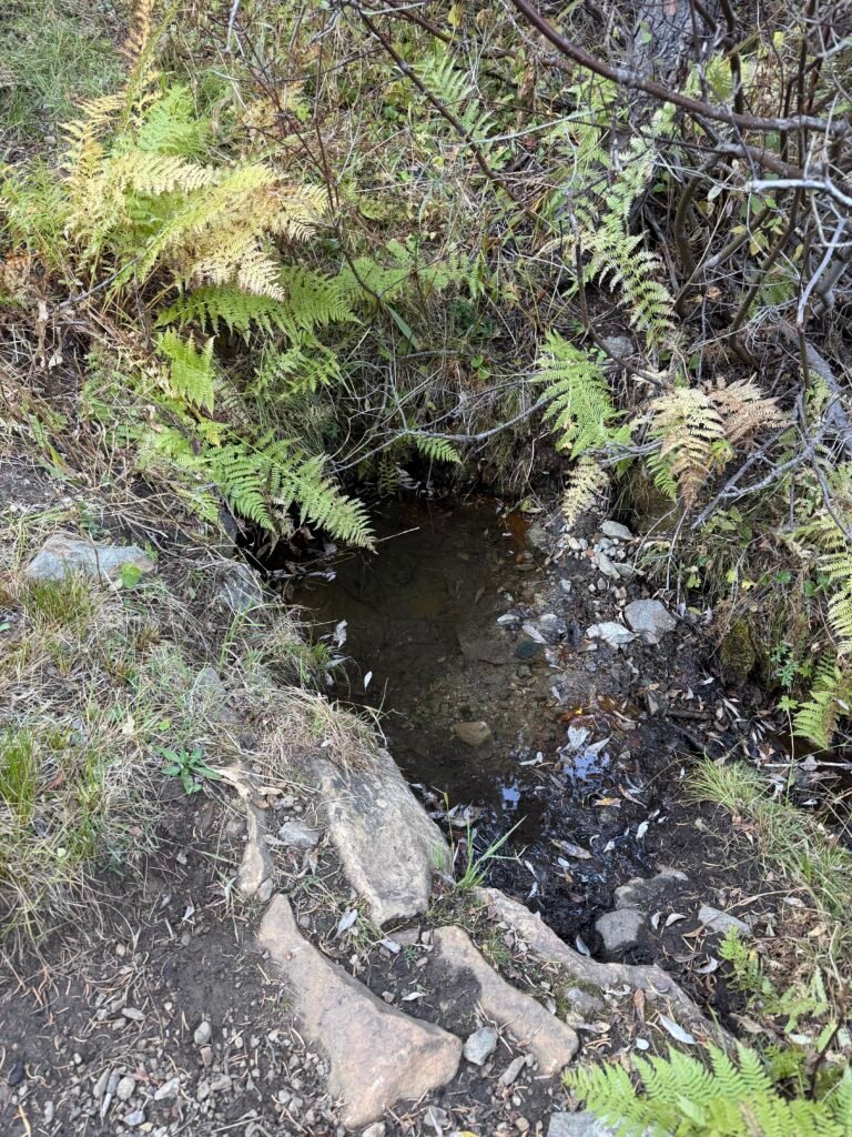
The trail then went along the ridge in a pleasant horizontal direction. There were two dips in the trail that had springs in them. Sadly, the springs weren’t currently flowing, but there were some stagnate pools still available to gather water. There were a couple miles between the pools.
There was a possible dripping spring a couple miles after the second pool, but after that it could be as far as 18 miles to the next water source. As much as I prefer FLOWING water for drinking and cooking on the trail, I knew I had to fill up on water at these two pool sources.
I also couldn’t be sure about the quality of water from either pool, so I made sure to get enough from the first pool. I did end up replacing some of that water with water from the second pool, which was a bit more clear and less-buggy than the first pool.
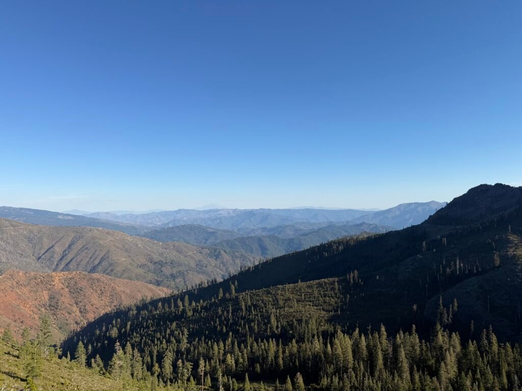
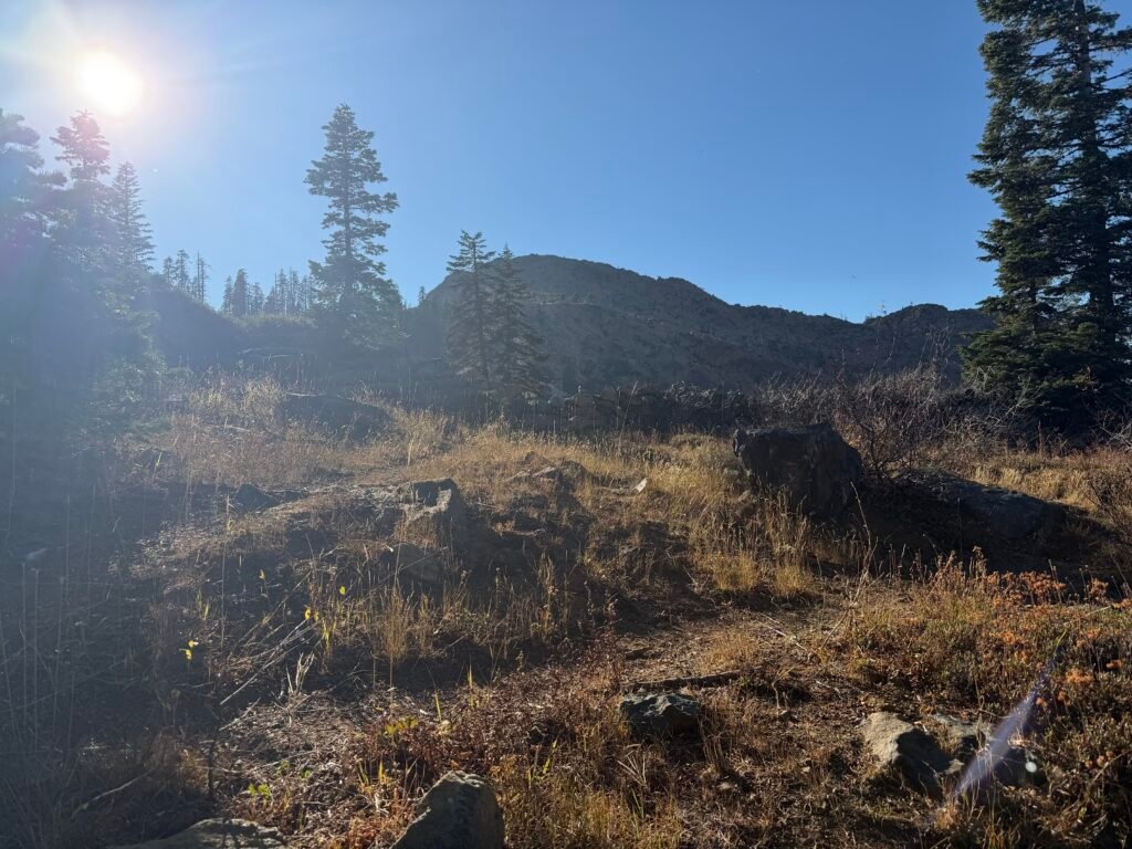
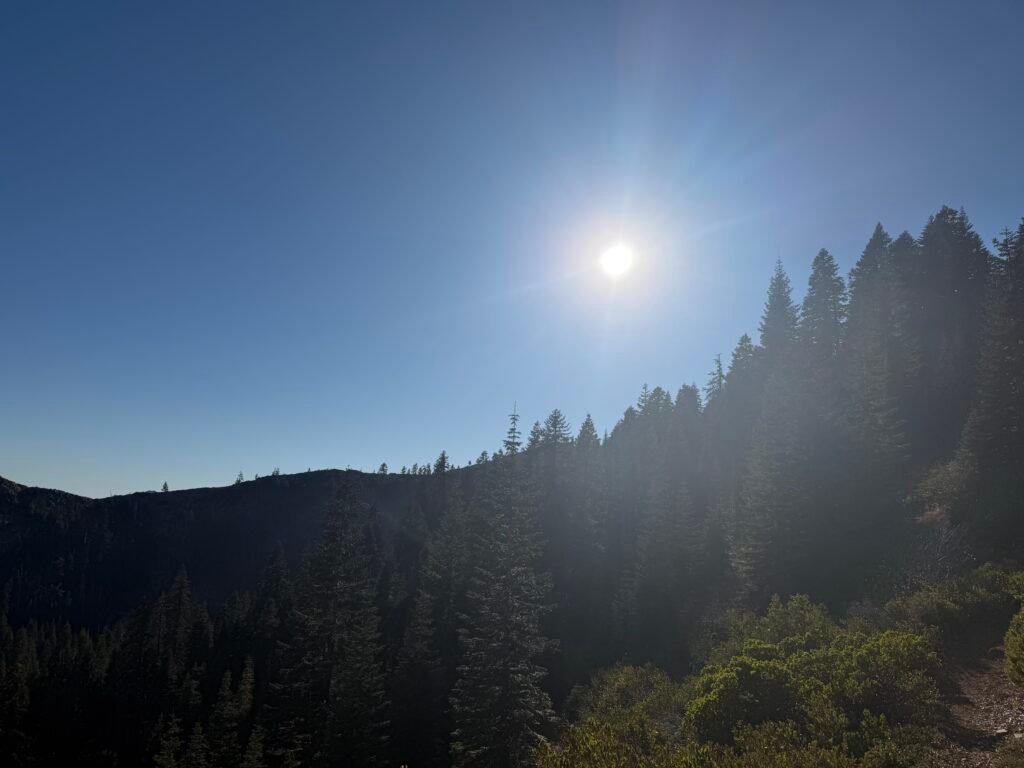
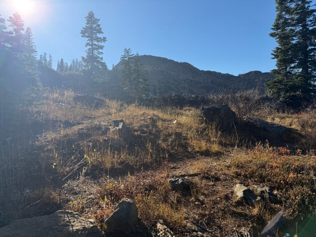
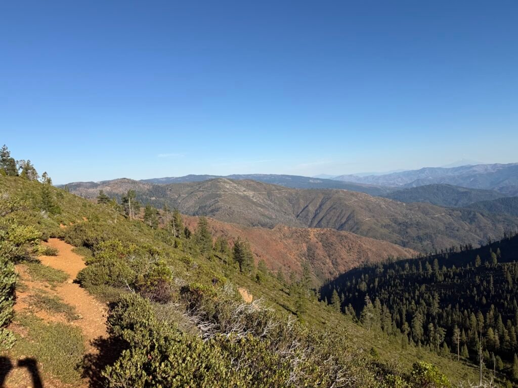
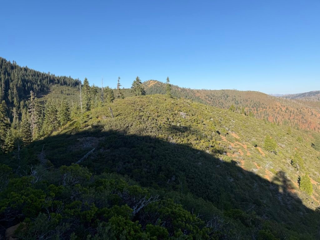
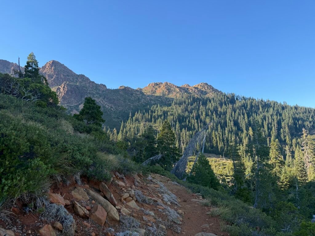
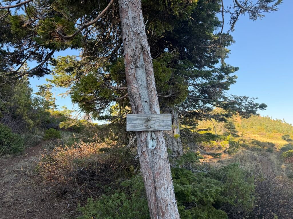
As the daylight grew short, I started to look for a good place to camp.
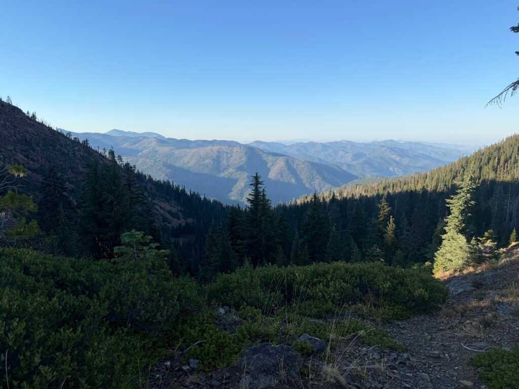
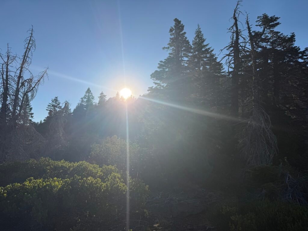
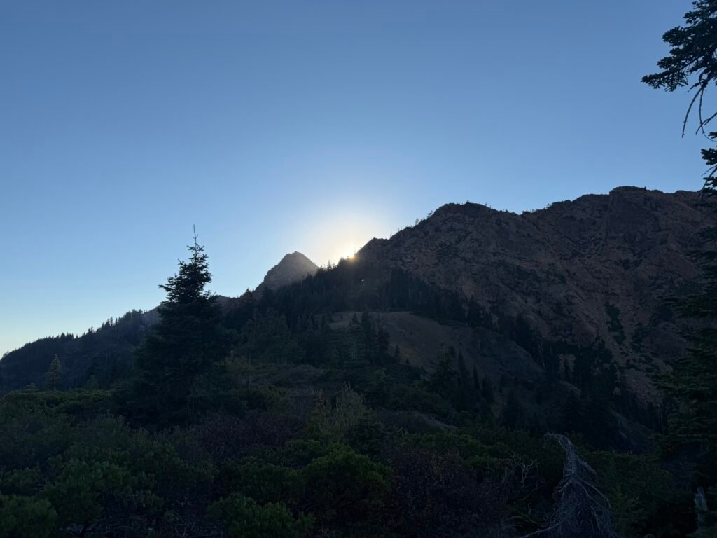
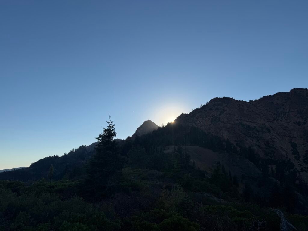
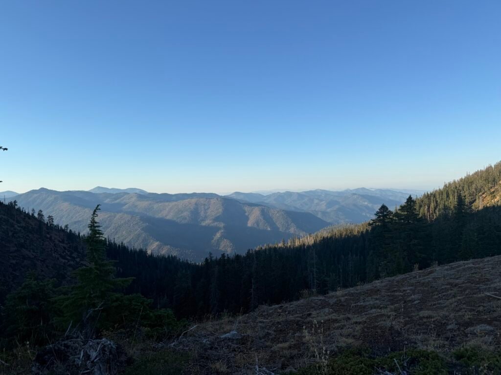
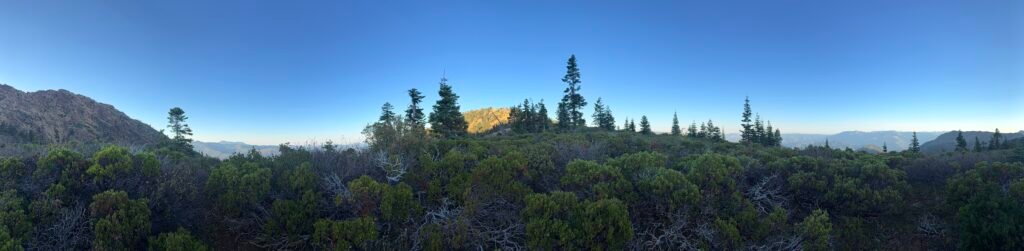
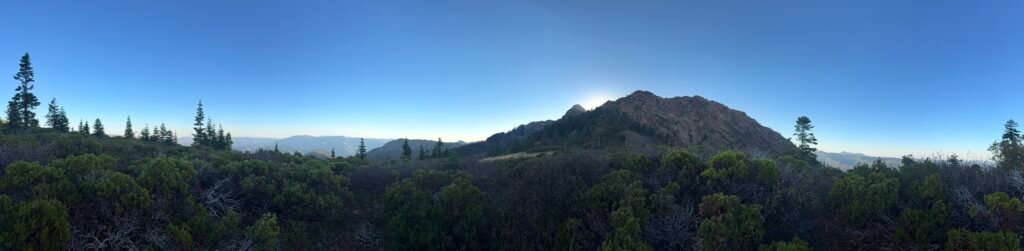
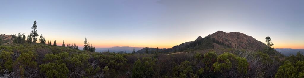
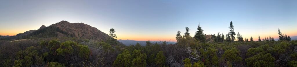
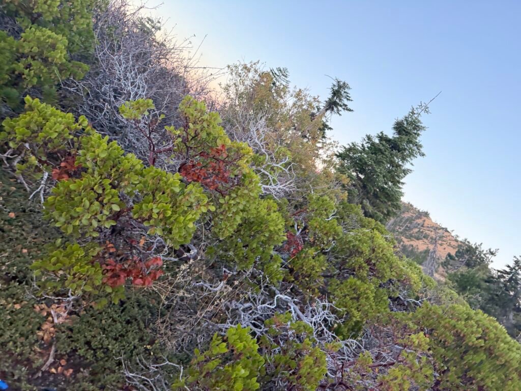
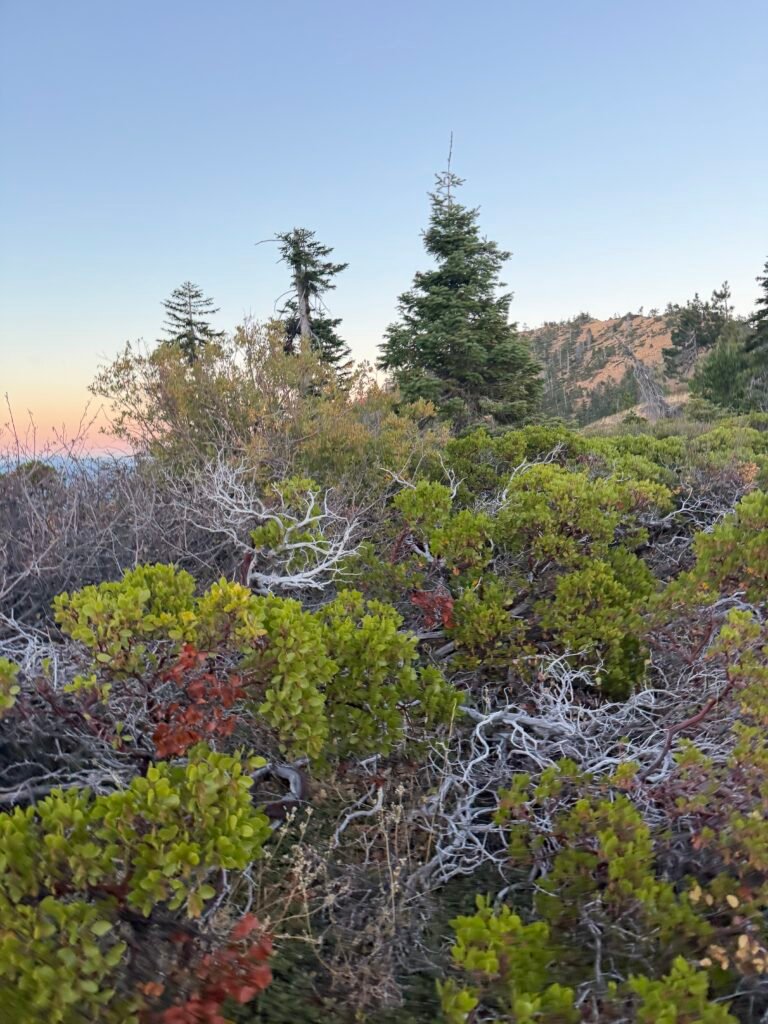
I found one on a saddle before a long descent and re-climb, which I decided could wait until the next day (always put off tough parts of the trail if you don’t feel like hiking them at the end of the day 😀 ). Bonus points for it having a damn good view of the area and Mount Shasta in particular.
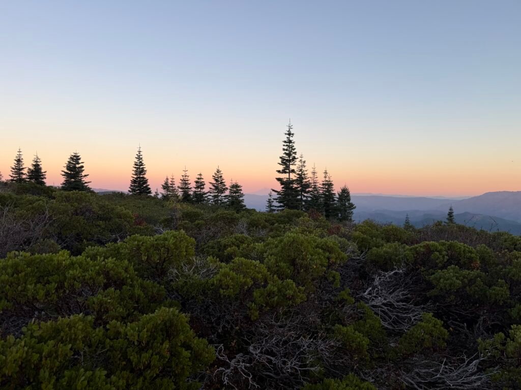
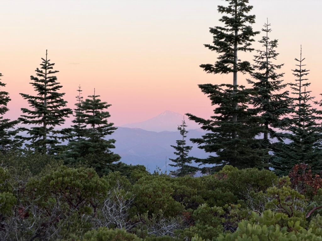
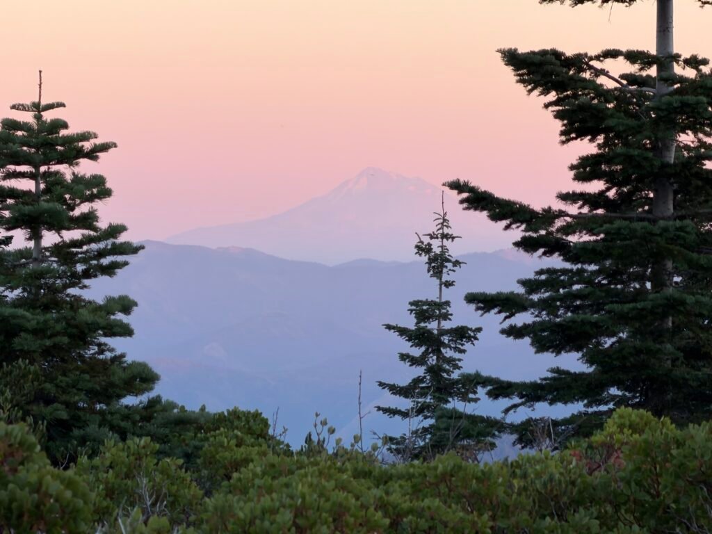
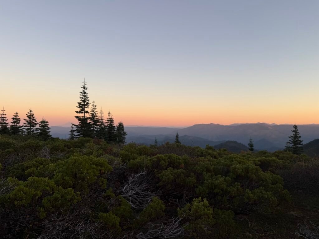
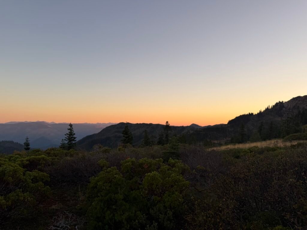
In total, I hiked 12 miles on the PCT. Pretty good distance considering that climbing two of those miles took at least half of the day, if not longer.
Mile 1657.9 to 1669.9 – 12 miles total hiked on PCT

Comments by WanderingJim
PCT Mile 1528 and then…
"Yes, got home safe, but got trail sick and wanted to get..."
PCT DAY 85 – CA Section H
"No cell service in many parts of the PCT. Not dead yet."
PCT or BUST!
"Yes, I’ll be going through there by early August"
JMT 2020 Day 3
"I'm afraid I have no idea. Not really a fisherman, so don't..."
JMT 2020 Trek Day by Day
"Yeah, but with 9,000 pictures, it's hard to label each one..."