Thursday, October 8th, 2026
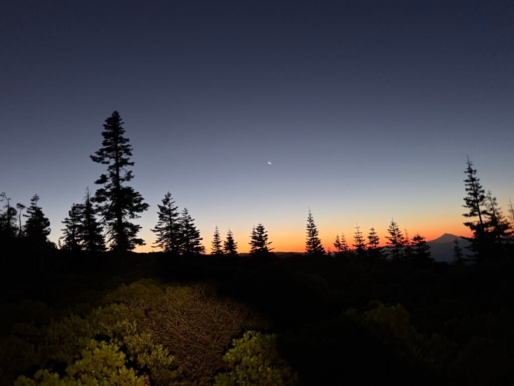
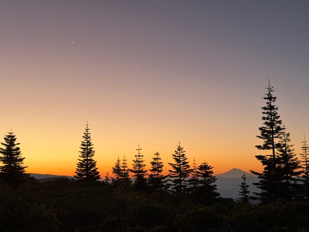
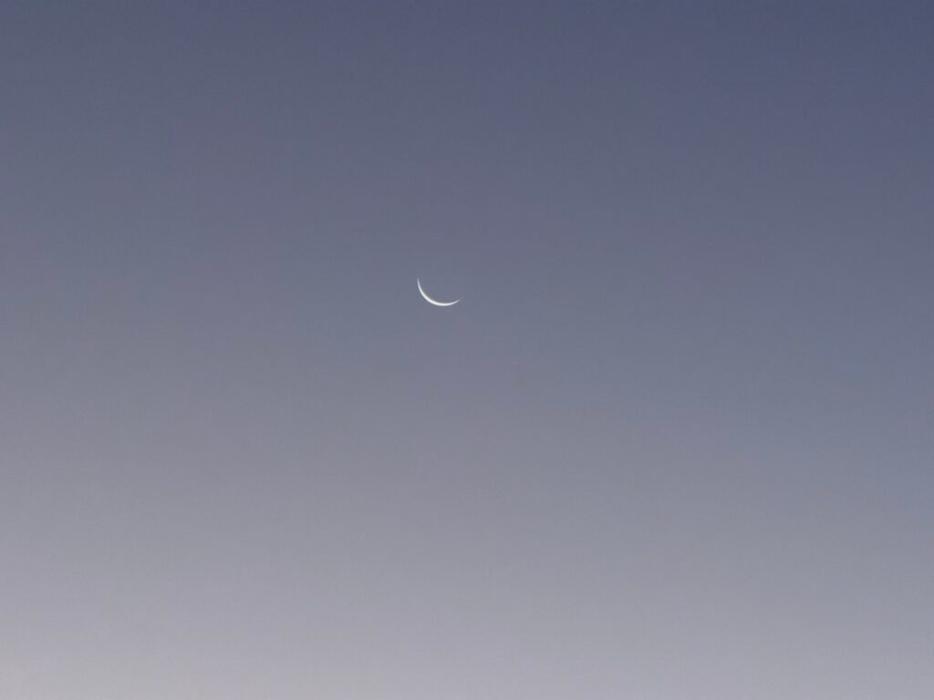
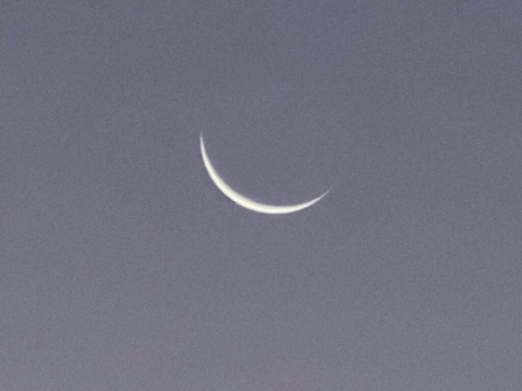
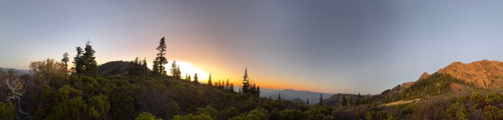
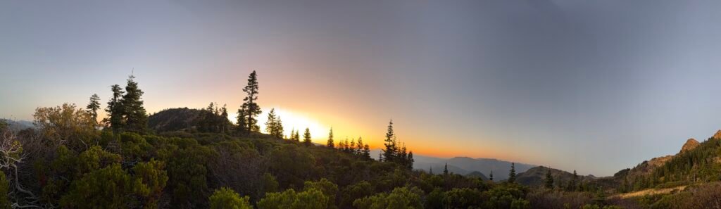
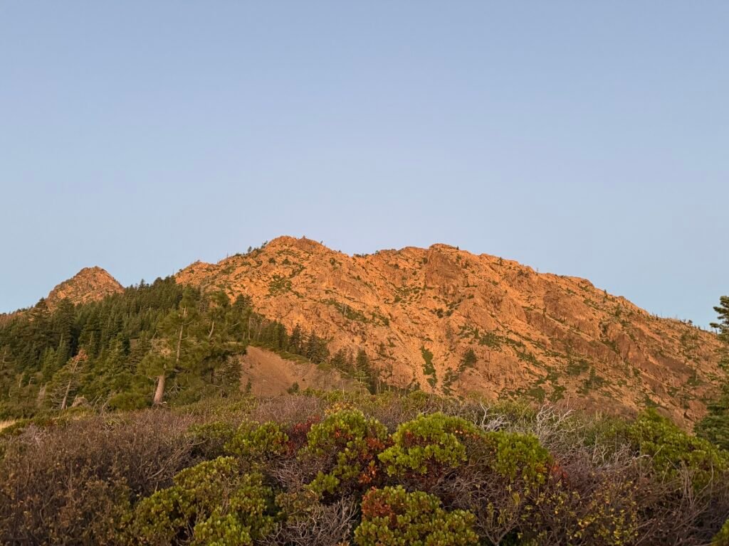
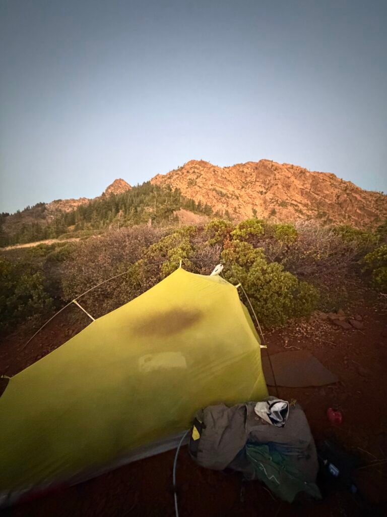
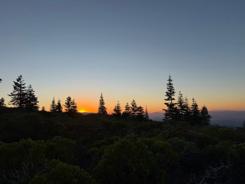
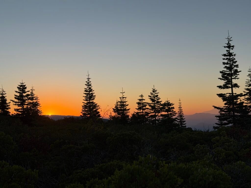
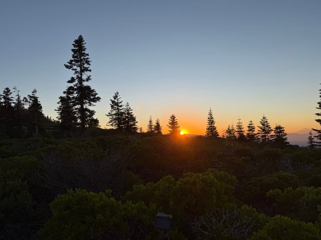
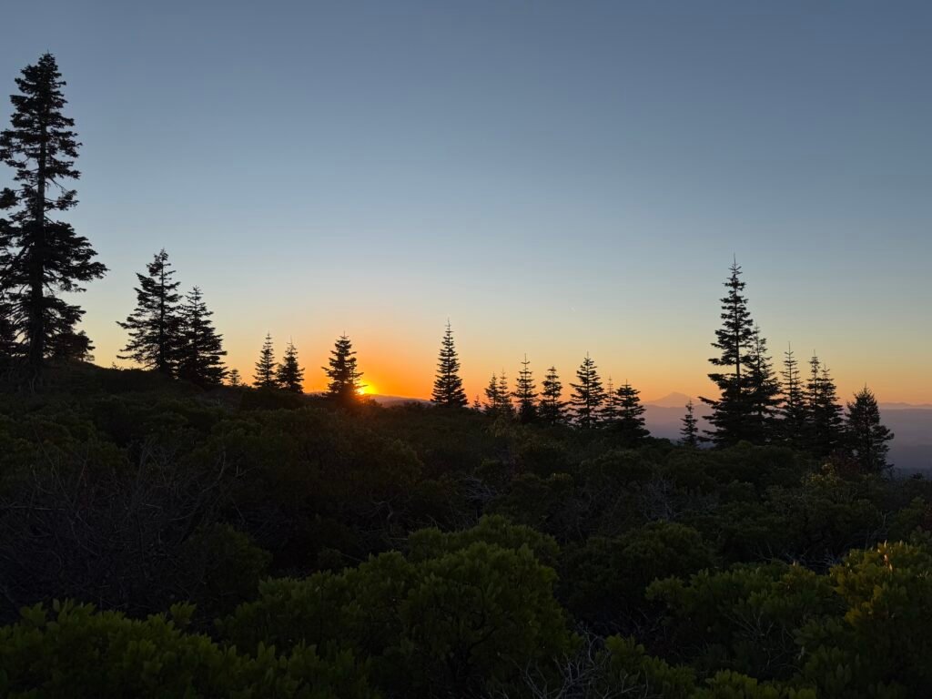
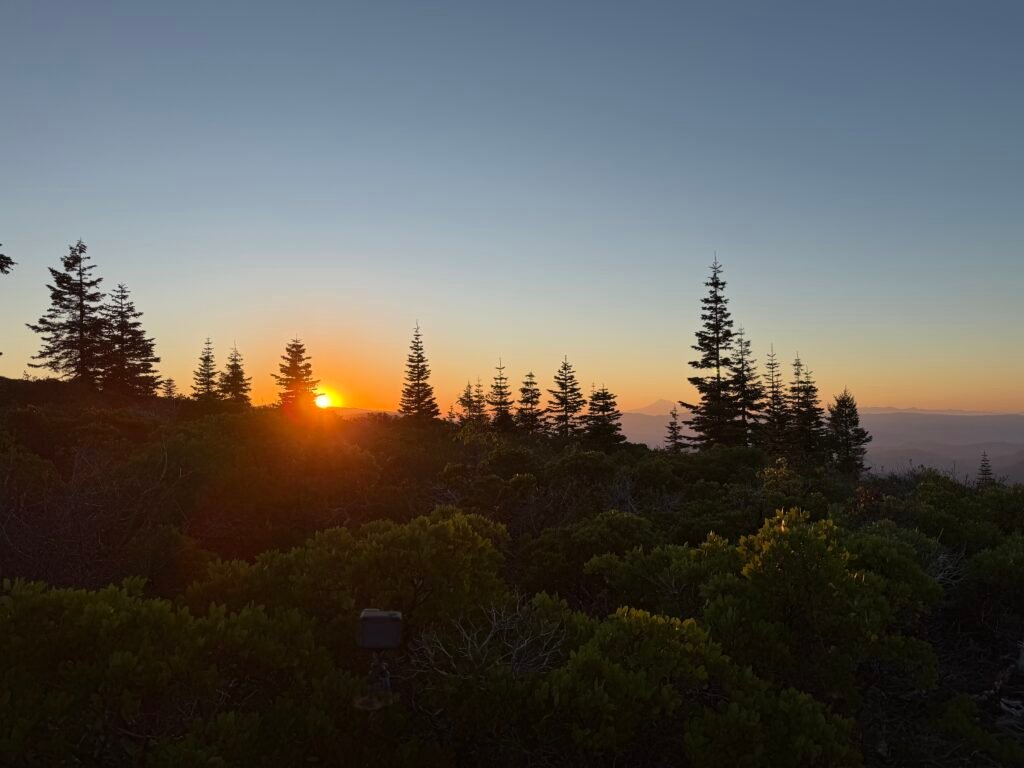
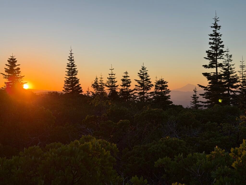
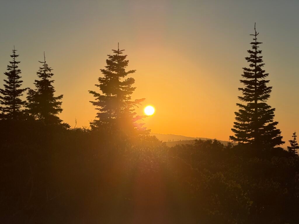
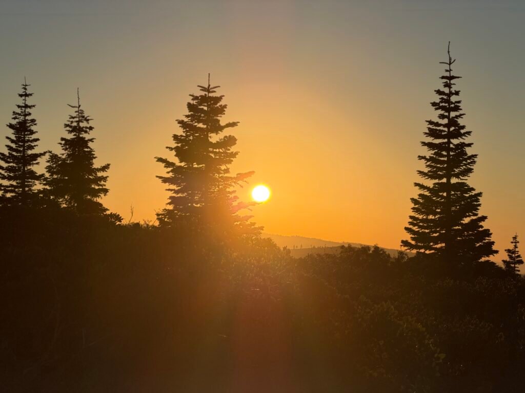
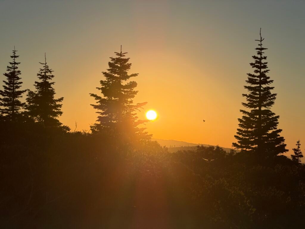
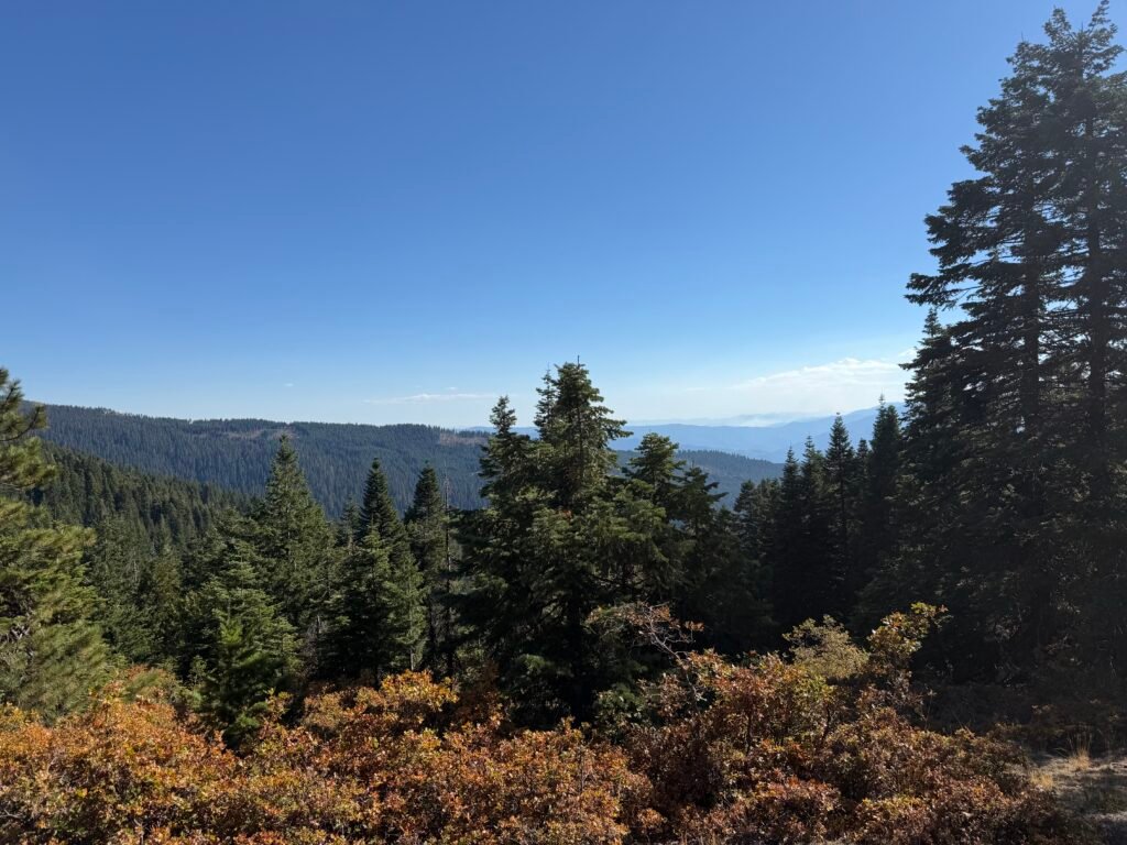
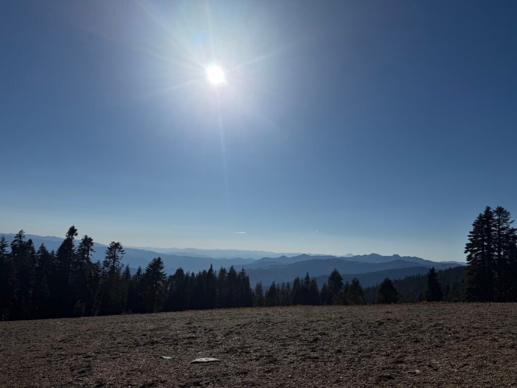
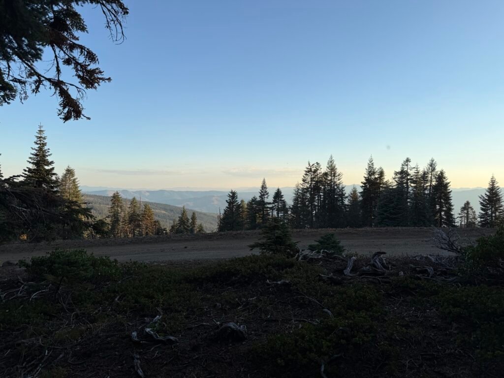
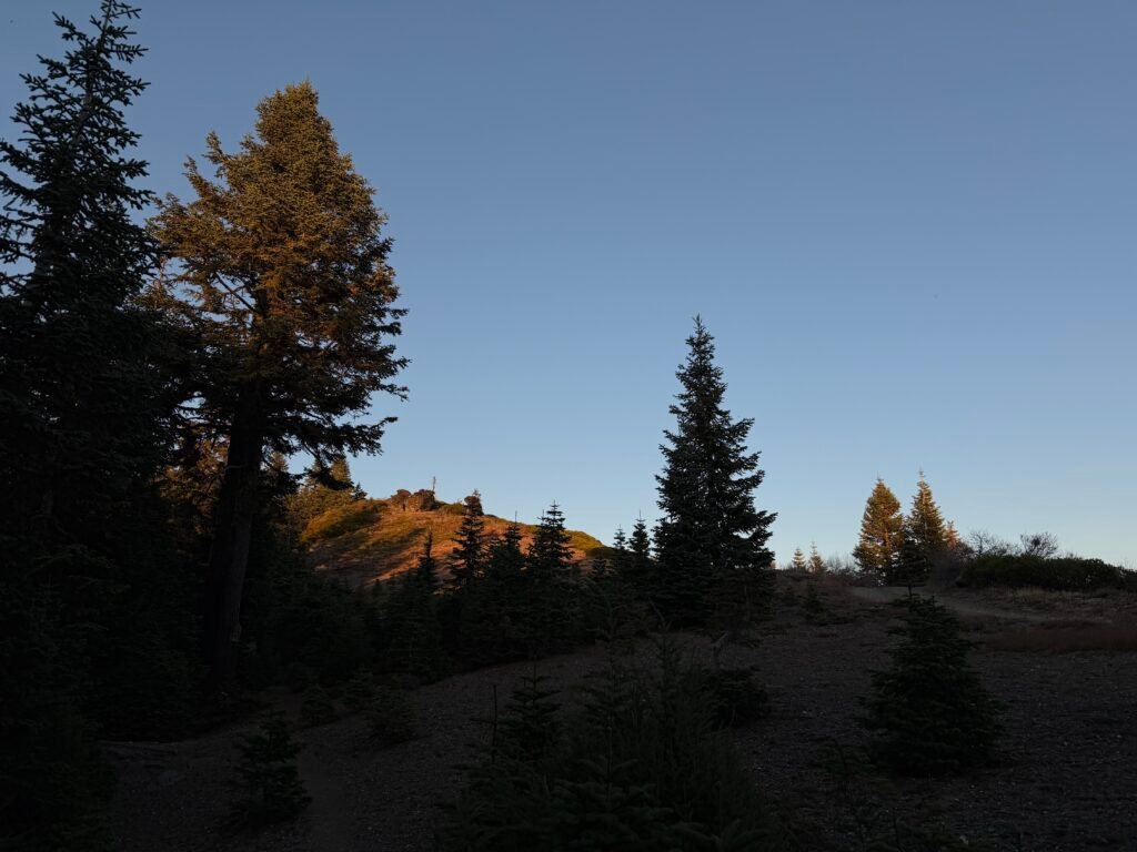
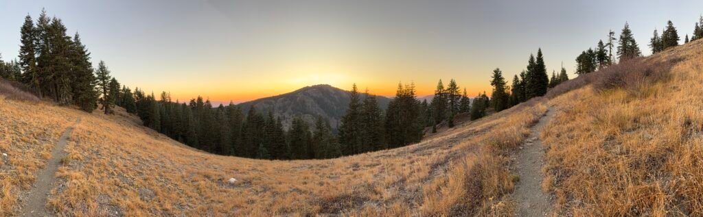
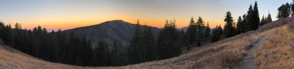
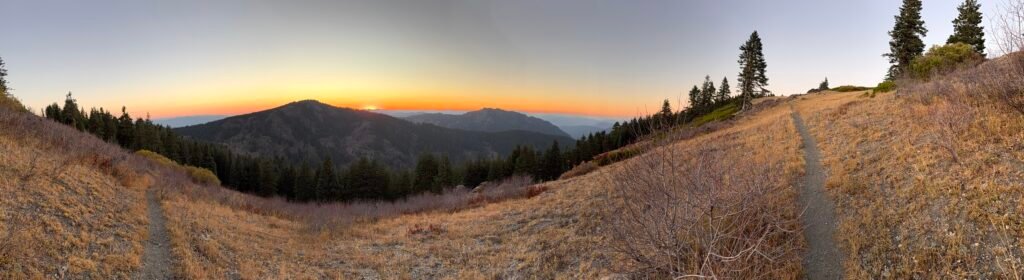
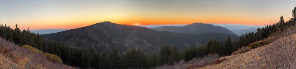
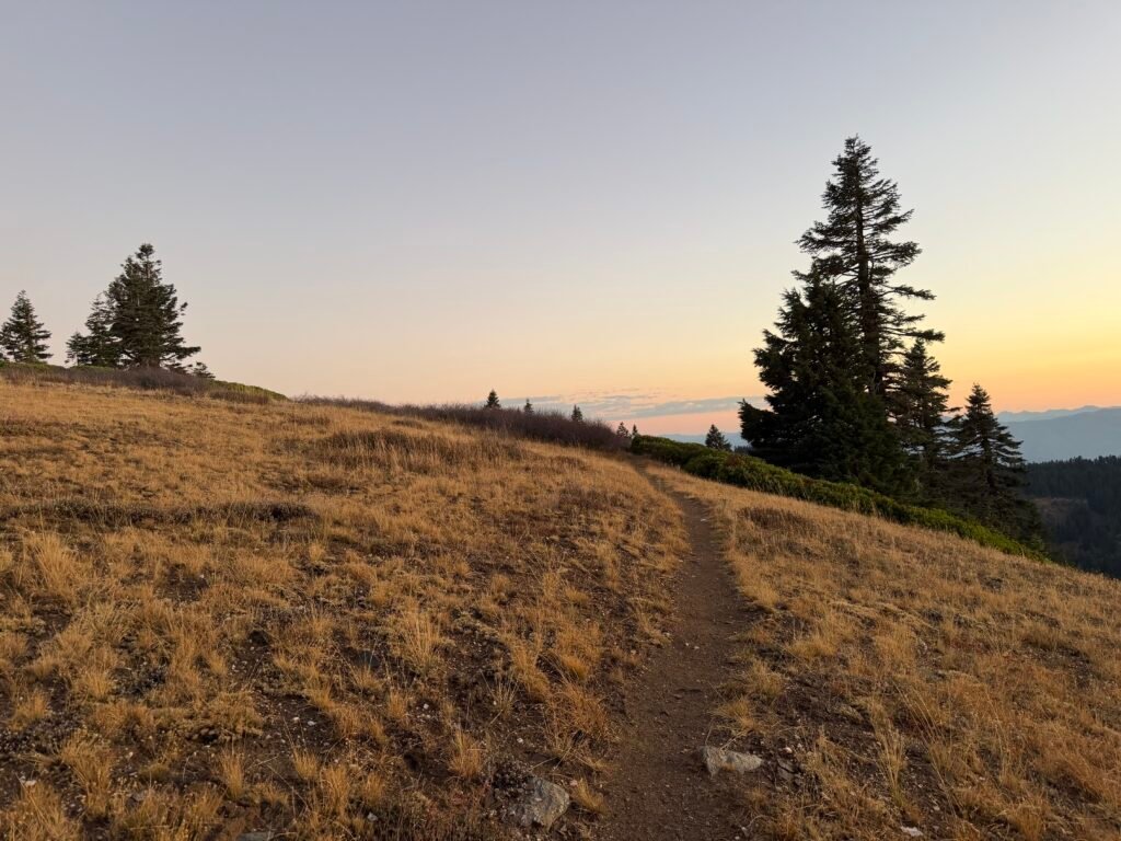
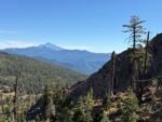
Not for the first time, I awoke to a beautiful view.
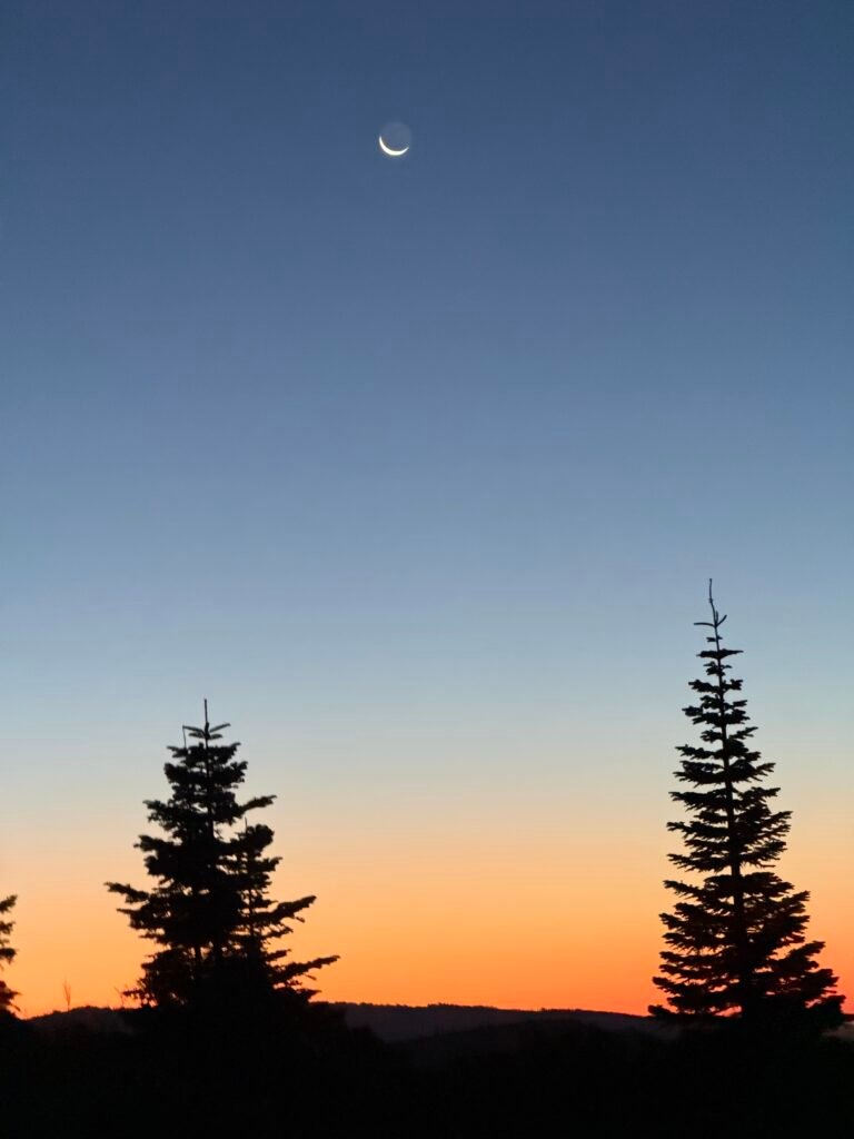
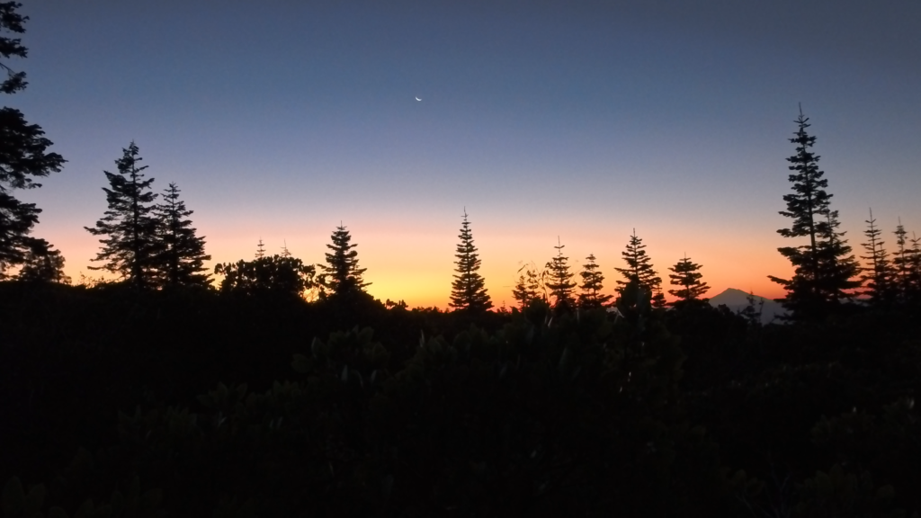
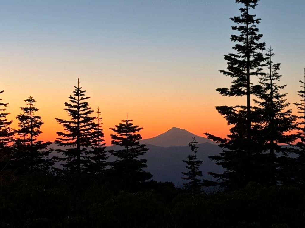
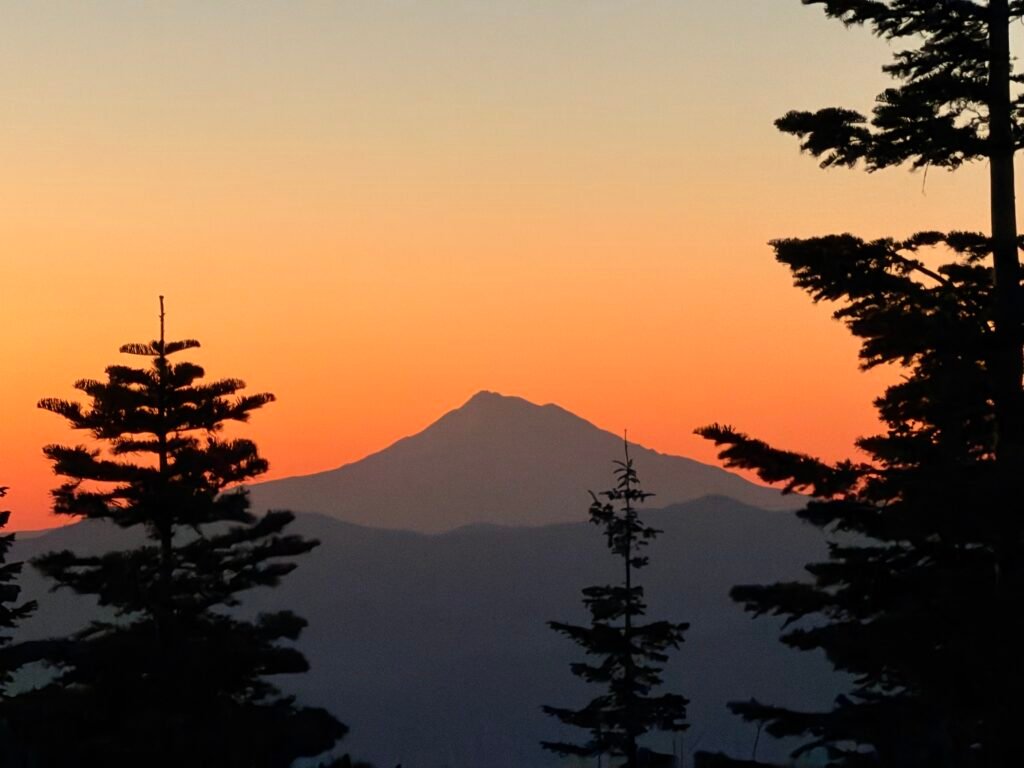
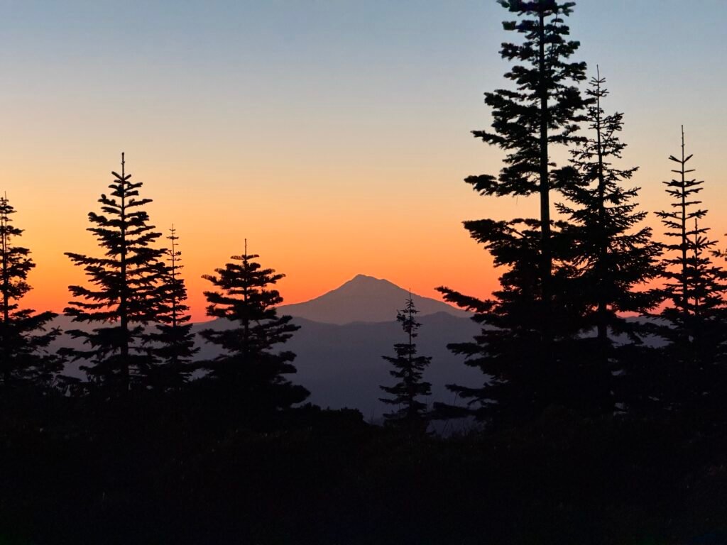
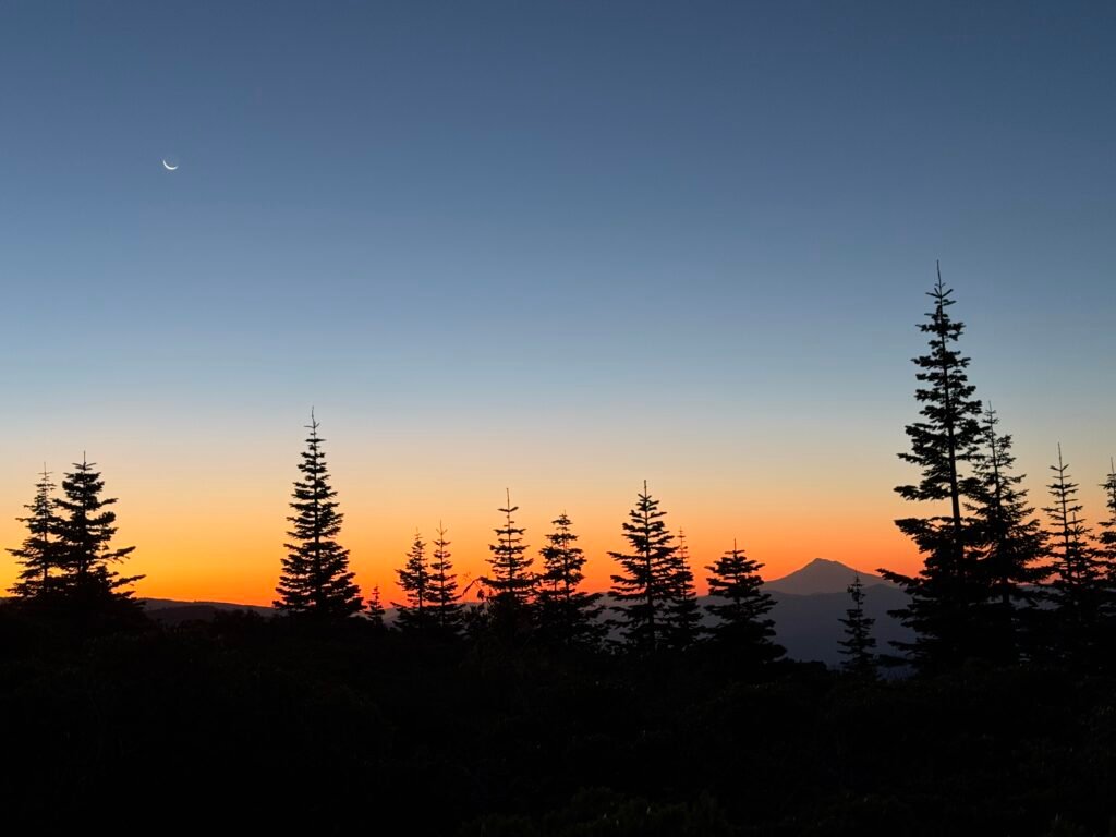
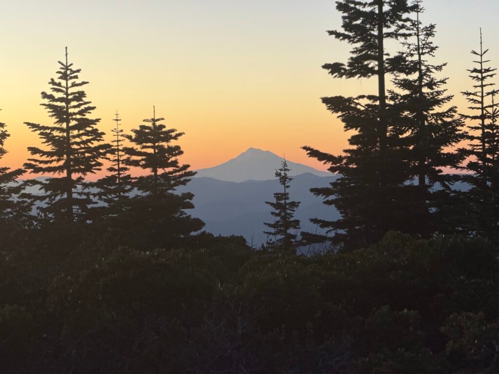
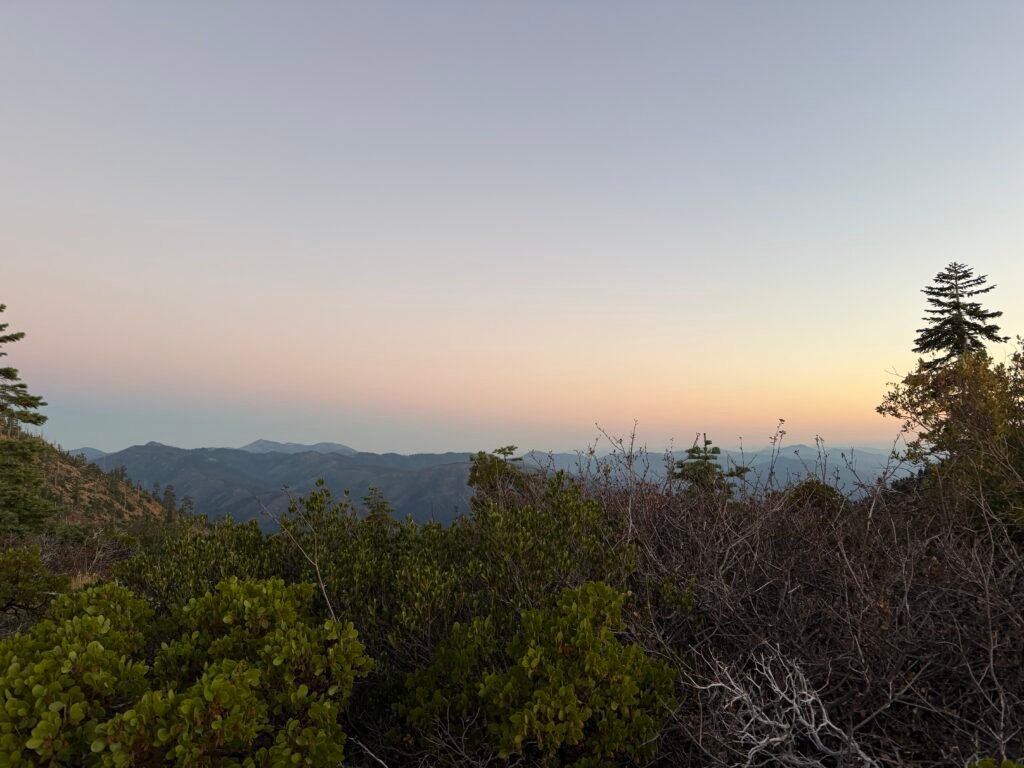
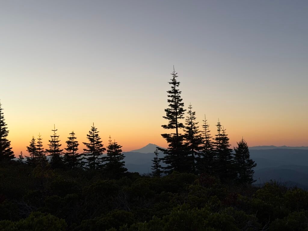
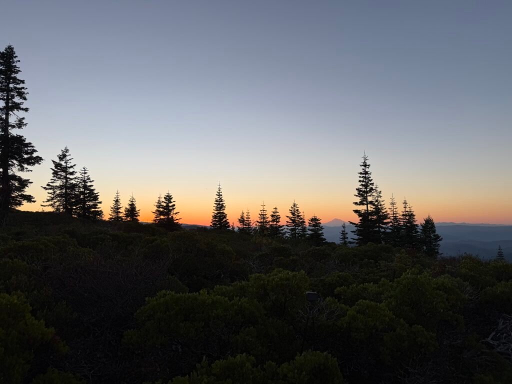
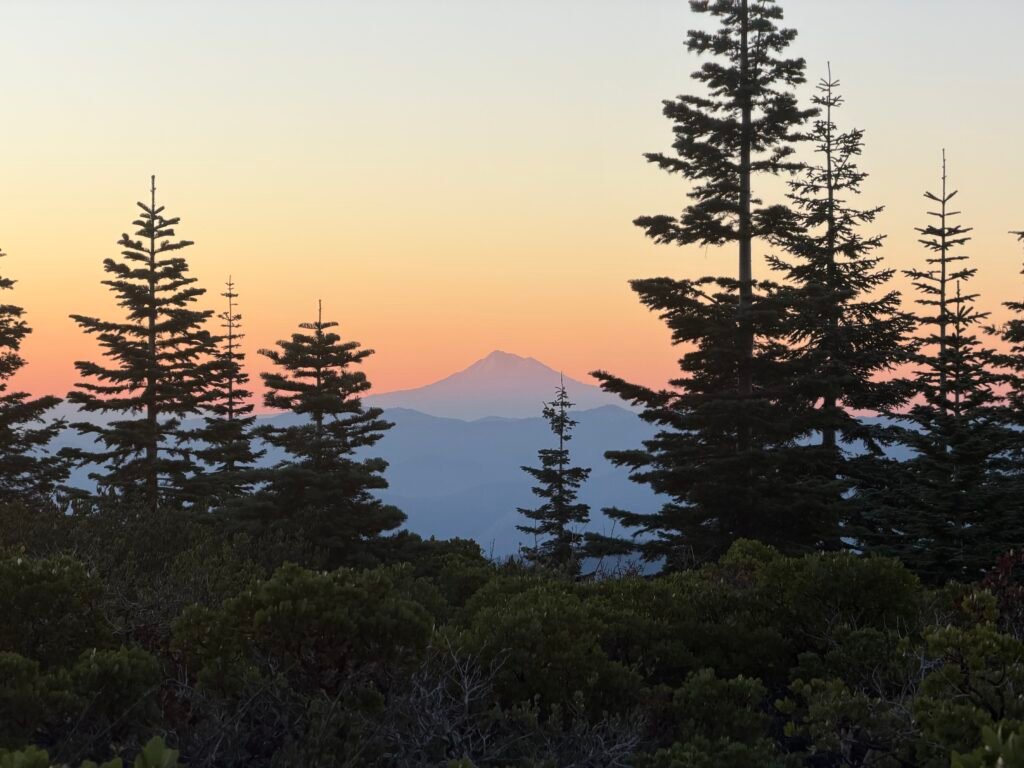
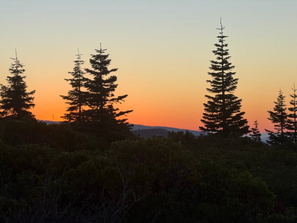
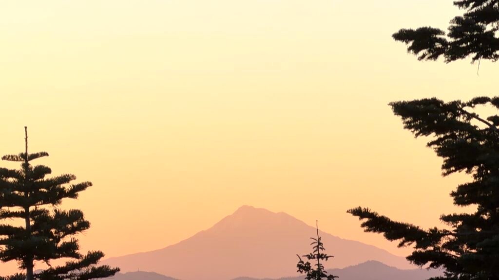
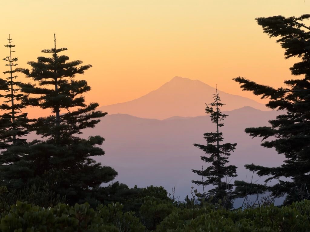
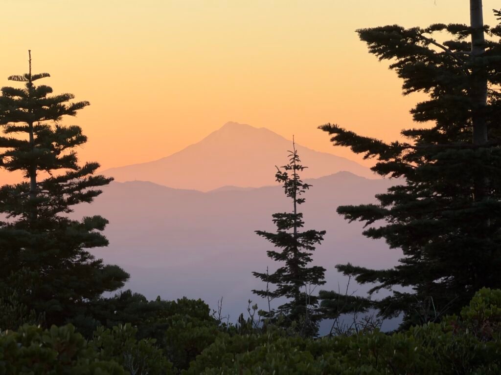
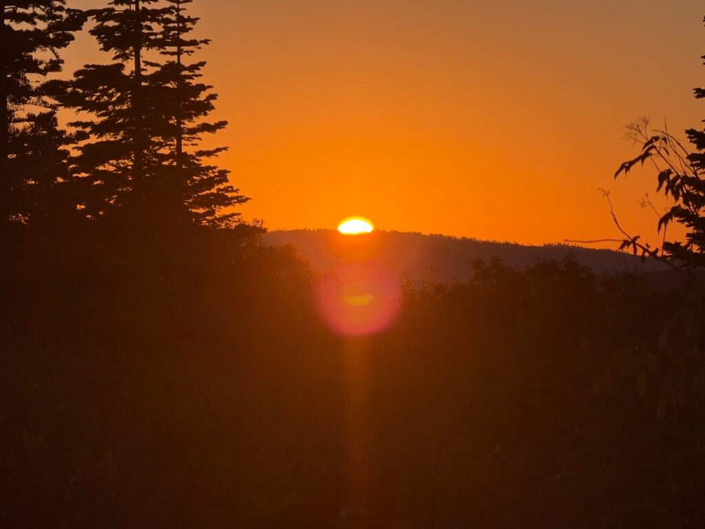
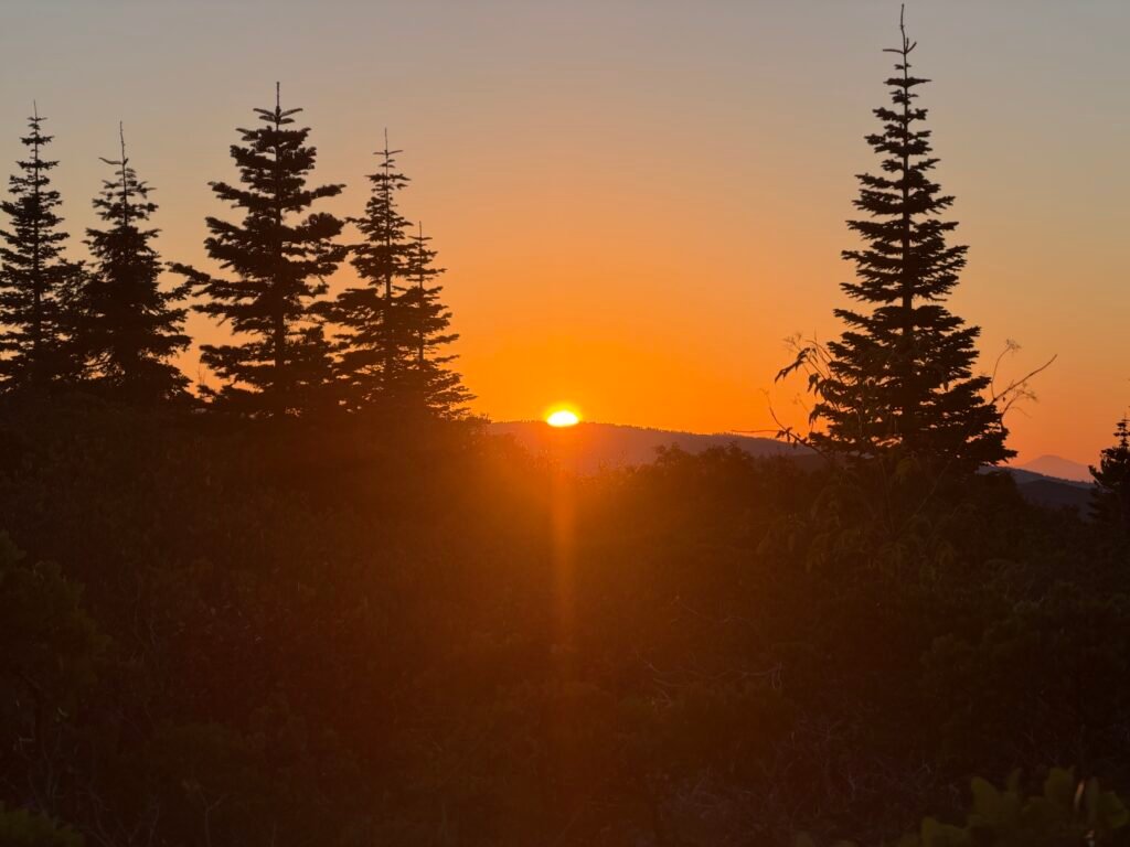
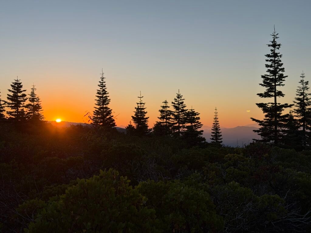
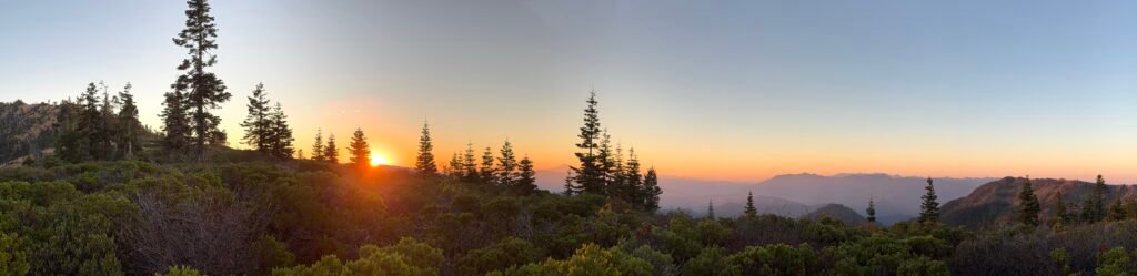
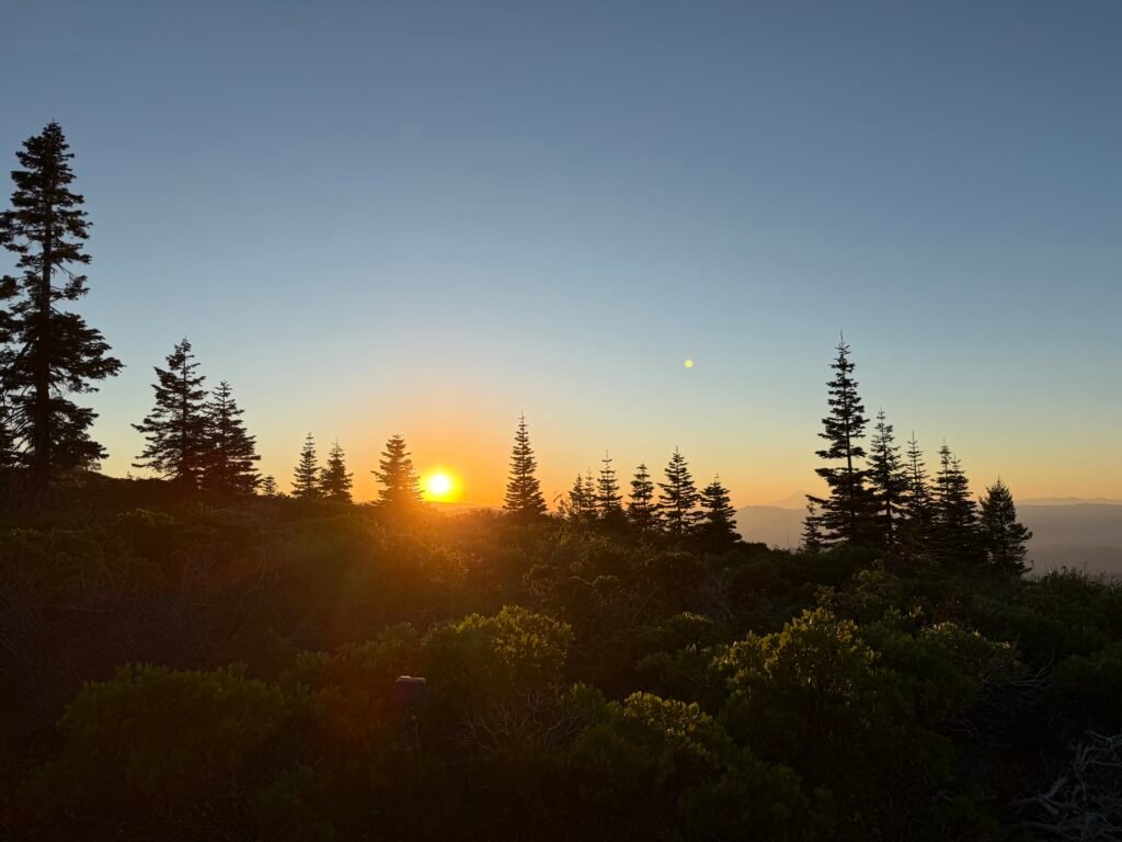
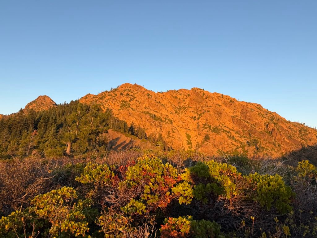
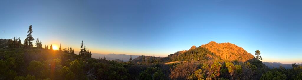
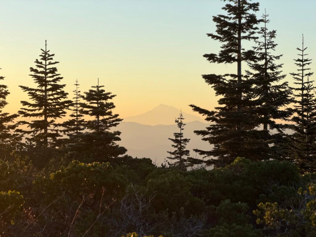
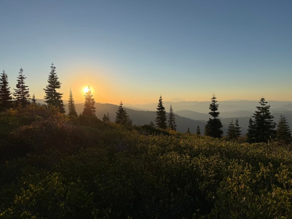
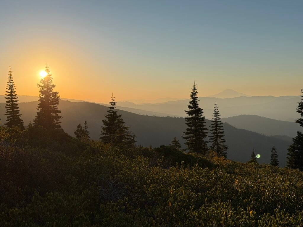
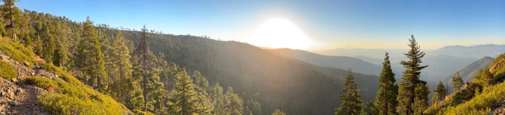
I’d like to say that this day would be a lot easier than the prior day’s steep climb, but it was a challenge of a different sort.
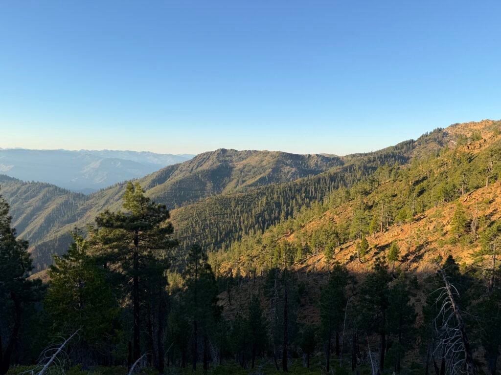
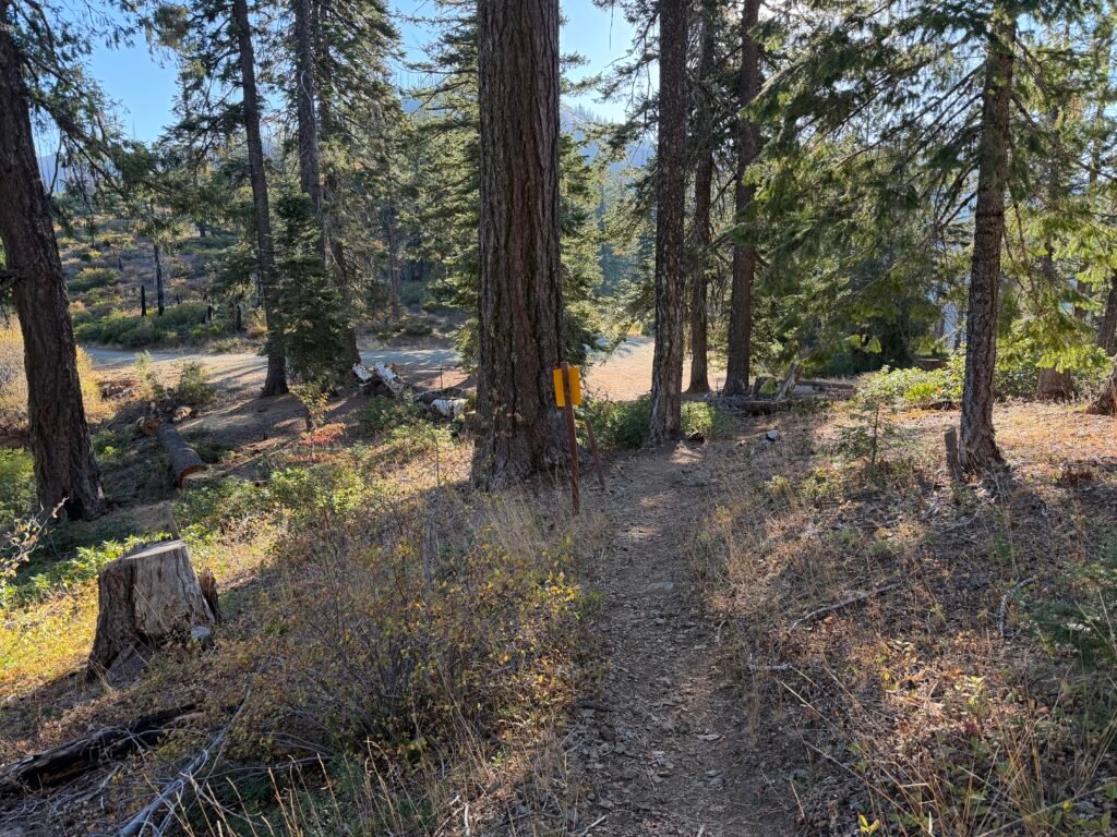
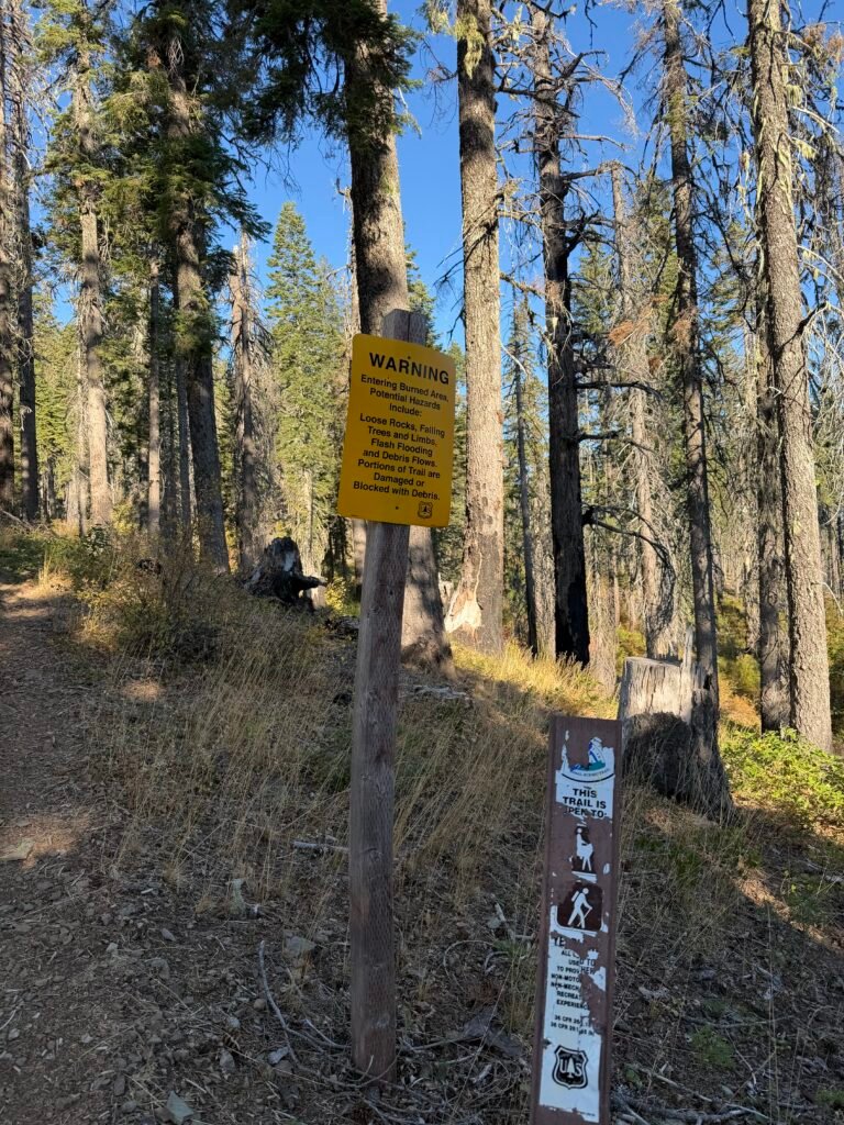
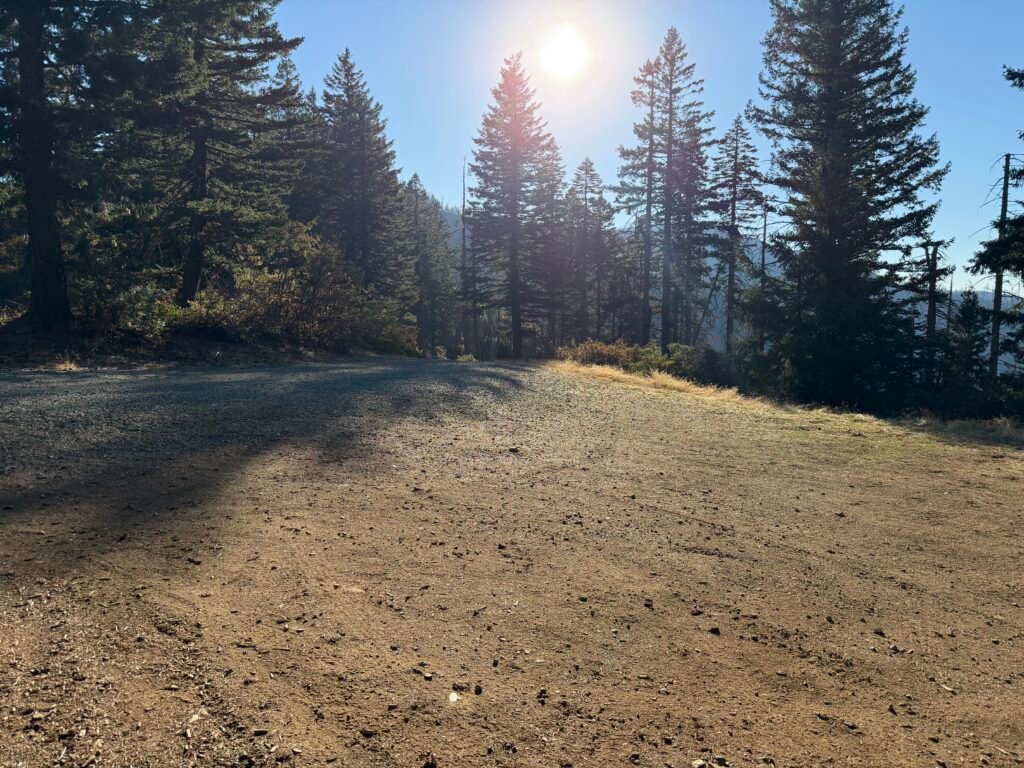
The first descent was easy, but the major dirt road that crossed the PCT presented a little temptation to return to civilization. It led back to Seiad Valley.
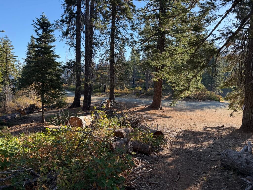
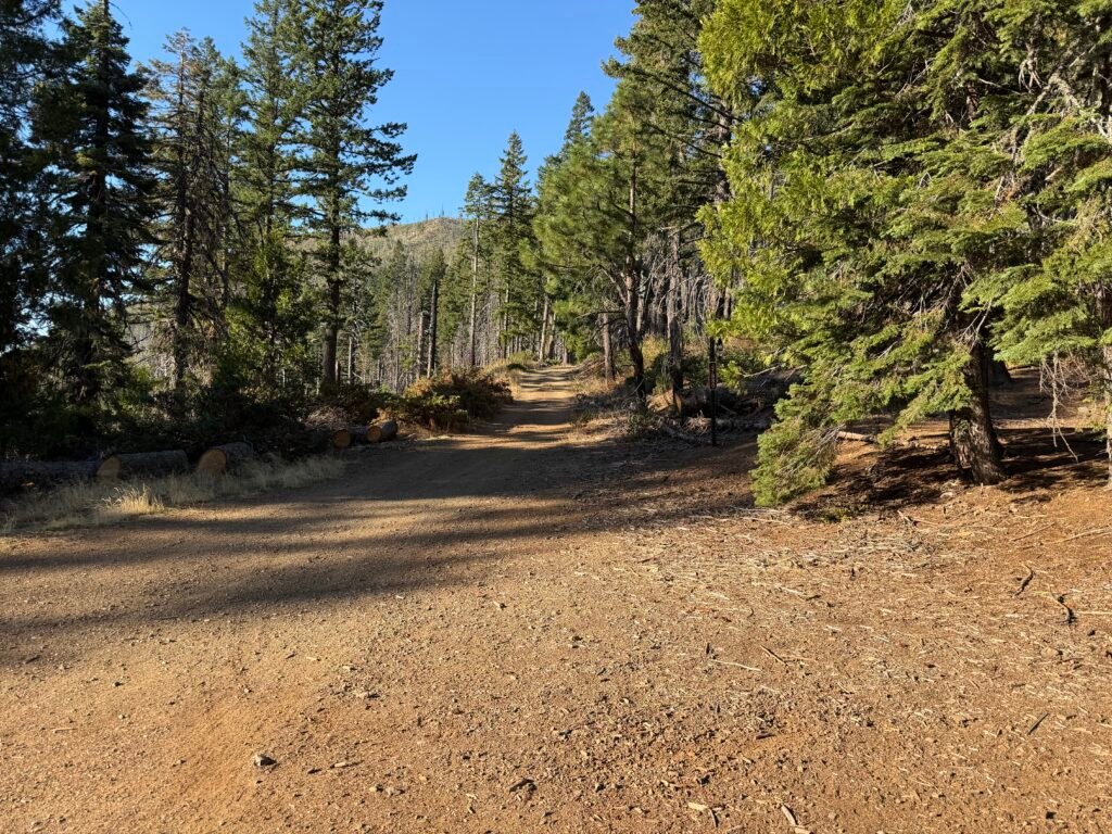
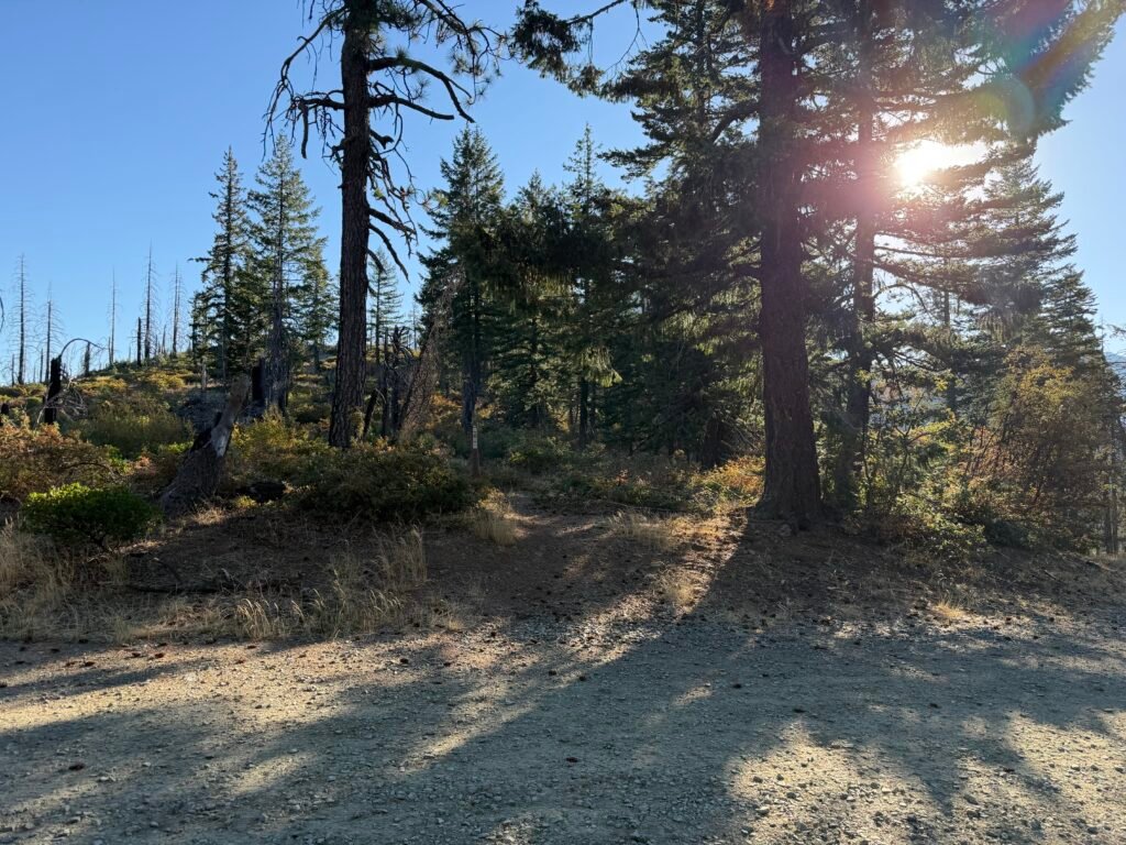
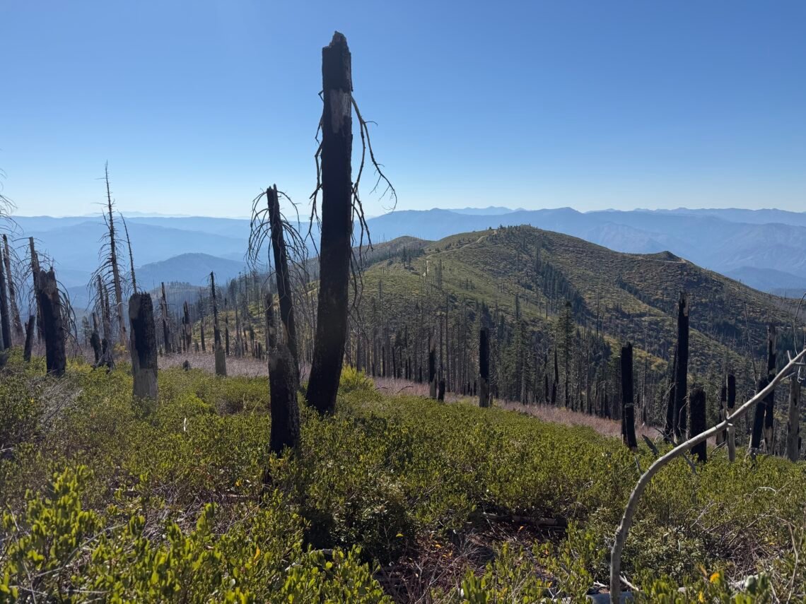
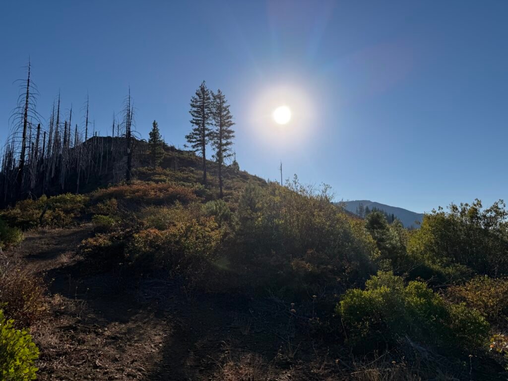
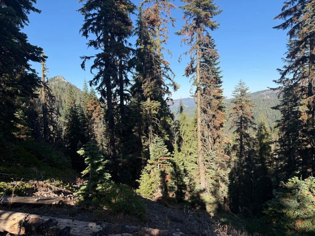
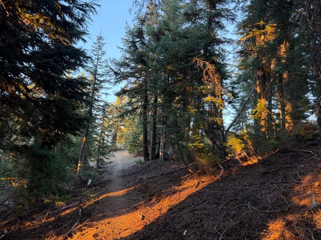
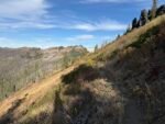
I managed to resist the temptation and started up the ridge ahead of me. It was nowhere near as steep as the prior day’s climb, but it was through a burn zone, so there wasn’t a lot of shade to keep the Sun from heating things up. The heat wave that Northern California was experiencing was in full effect, even at the higher altitude.
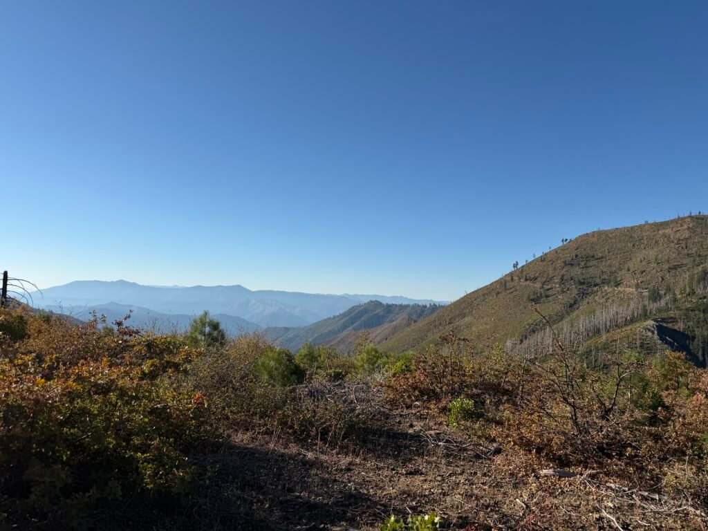
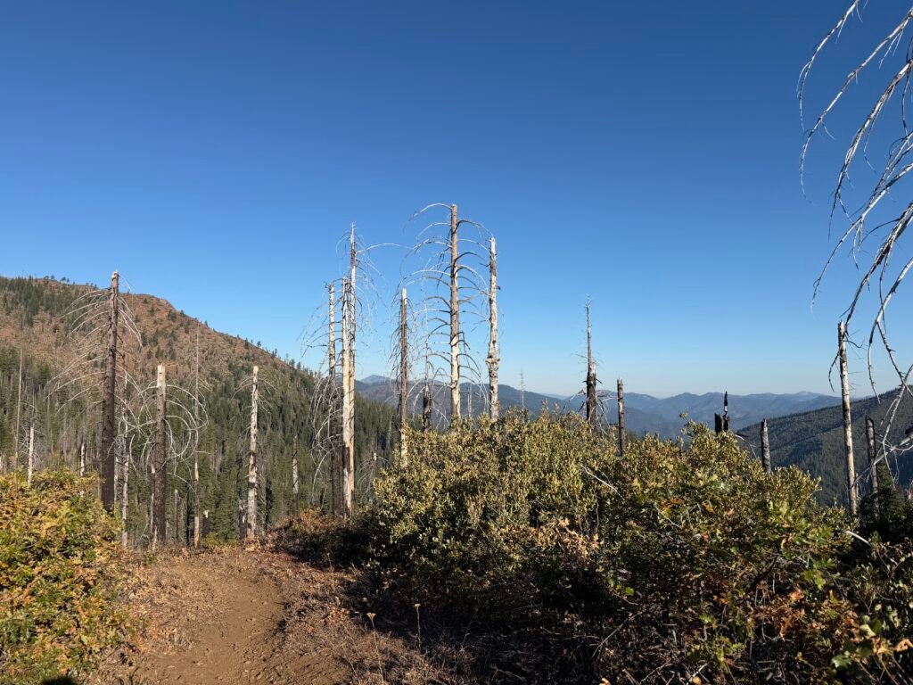
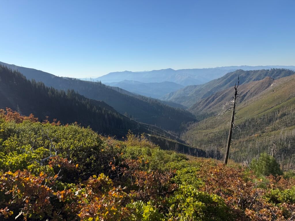
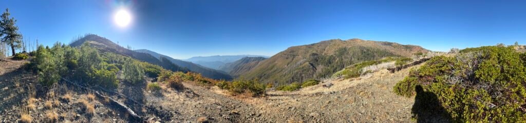
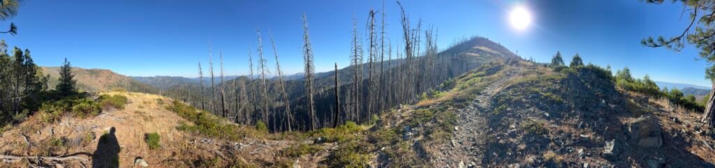
As I finished the big climb for the day and the hike began to level off more, I checked the weather forecast and got a surprise.
The forecast suddenly had overnight rain in it for two nights from then. AND the ‘cooling trend’ turned into freezing temperatures for that night and the following days.
I know weather in the mountains can change suddenly, but this seemed to come out of nowhere. Maybe the long stretch of unusually good weather for the time of year had me fooled into ignoring the possibility.
I was tempted to turn around and abort several times, but with the California-Oregon border less than a day away, I decided to press on. I’d at least get to Oregon before getting wet.
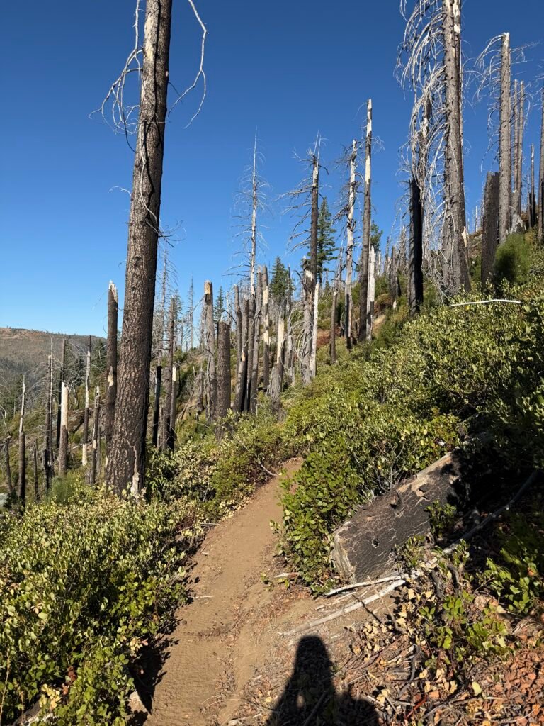
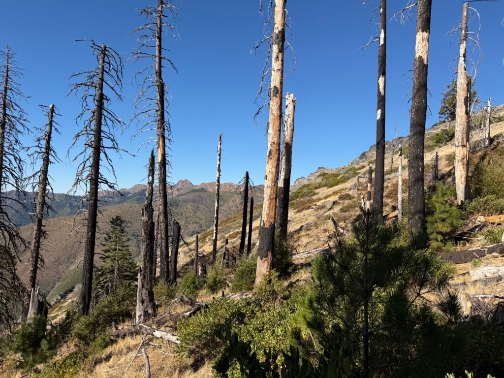
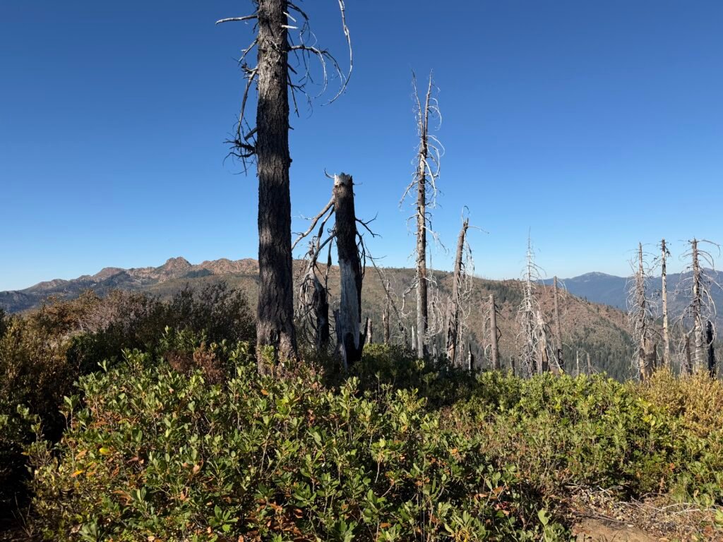
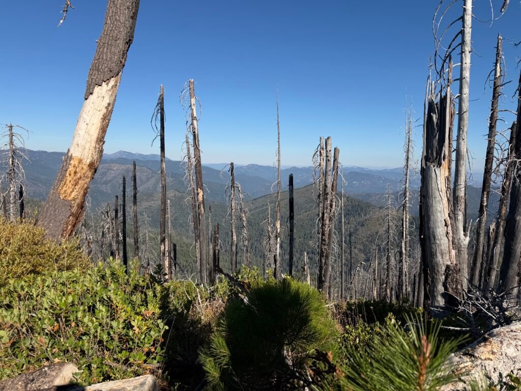
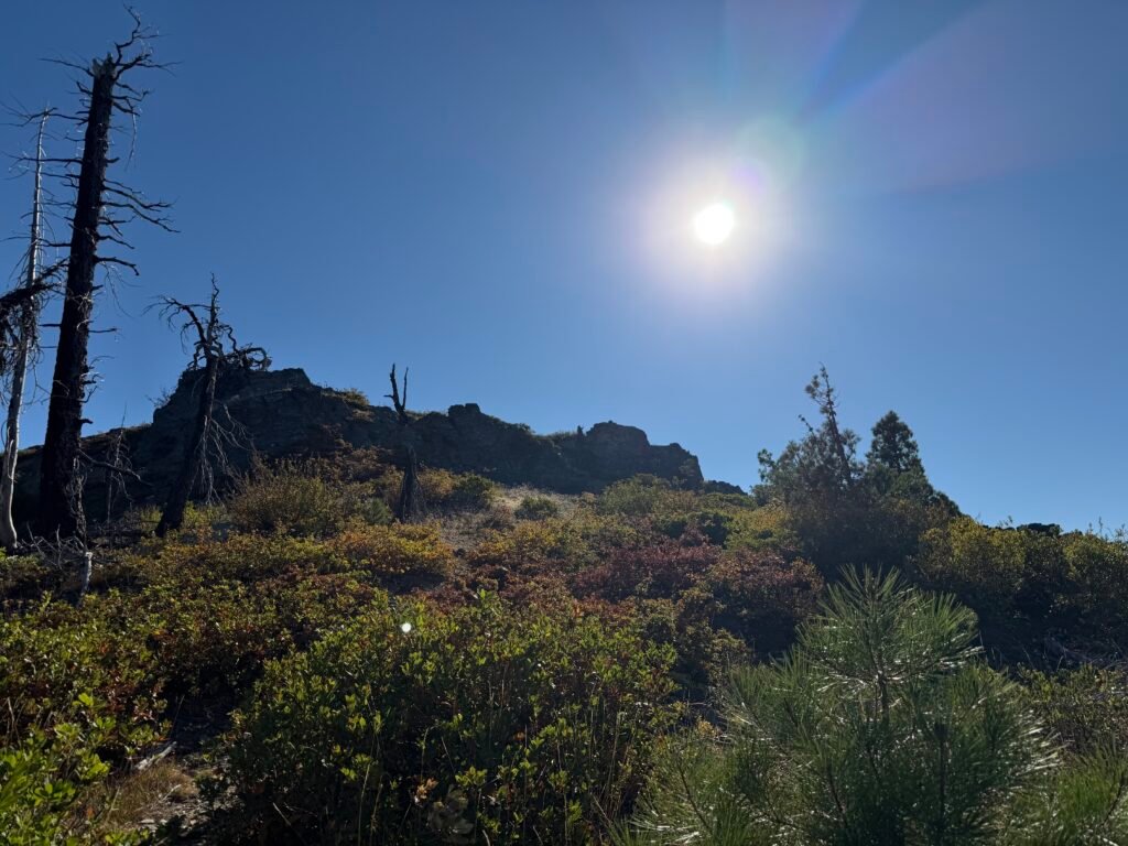
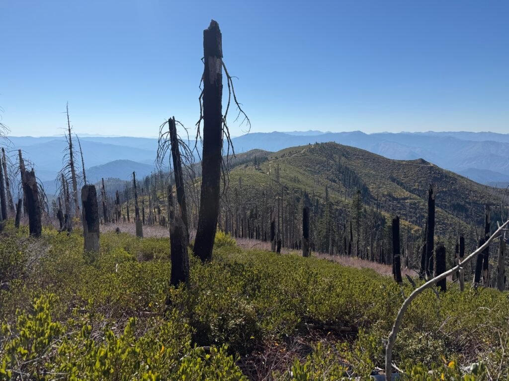
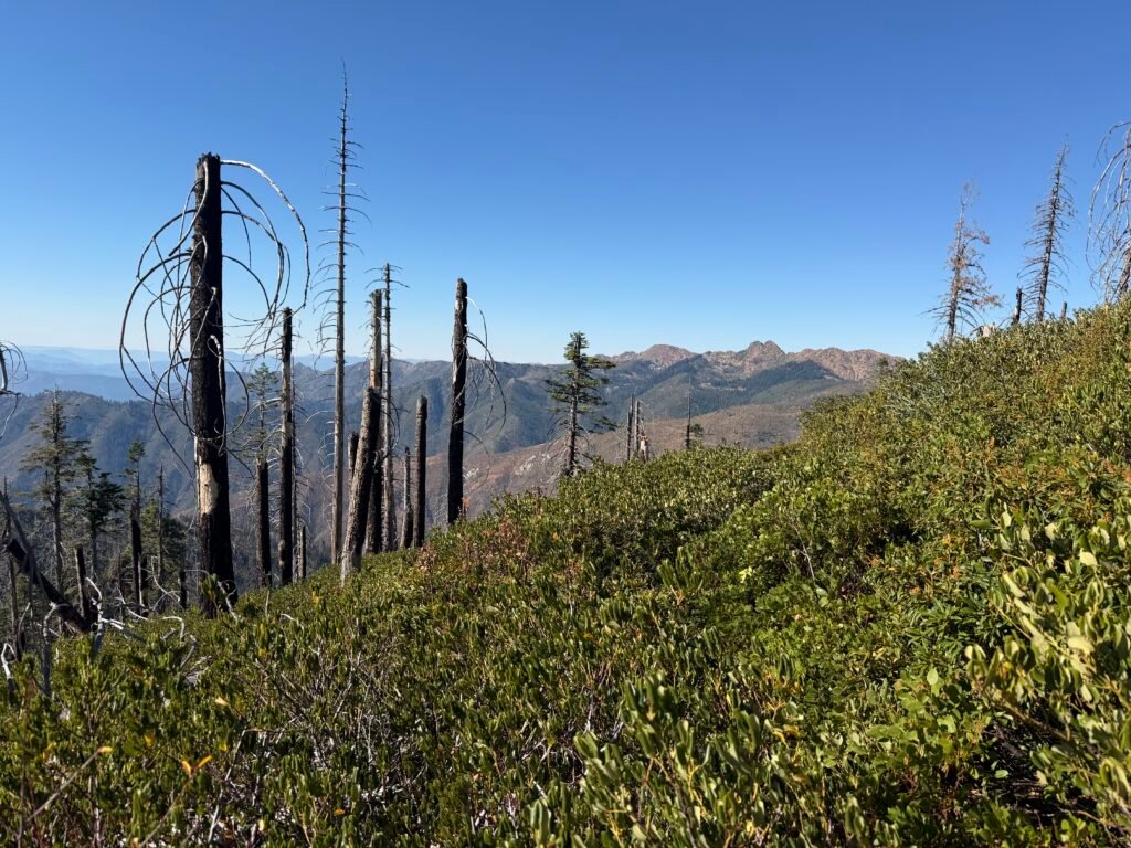
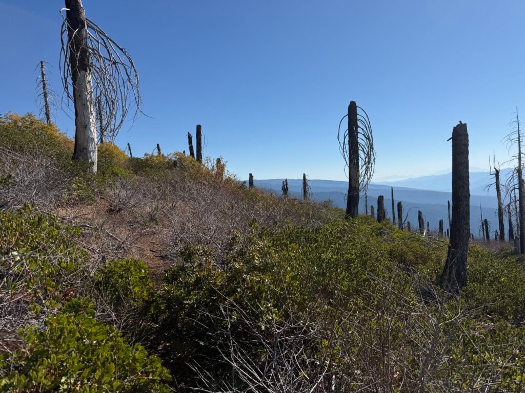
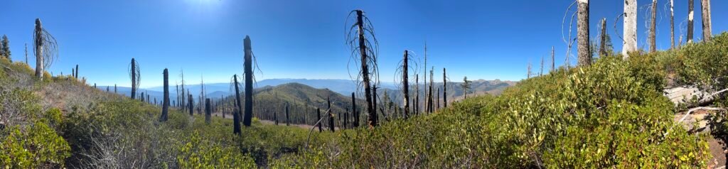
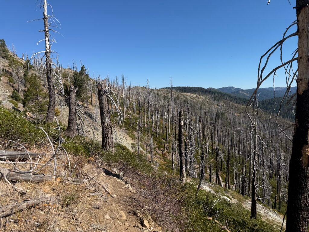
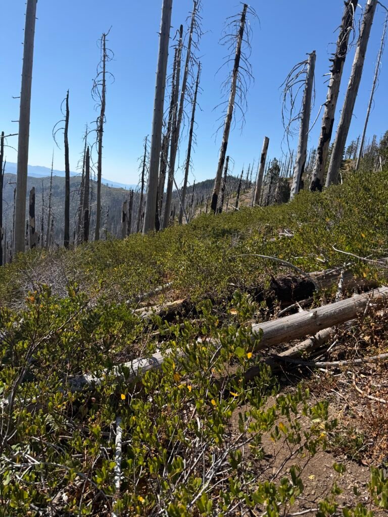
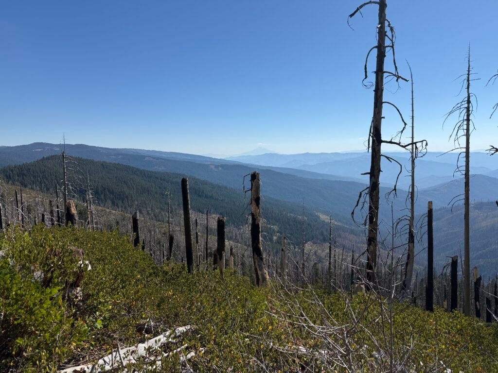
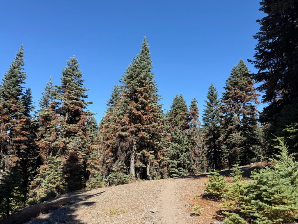
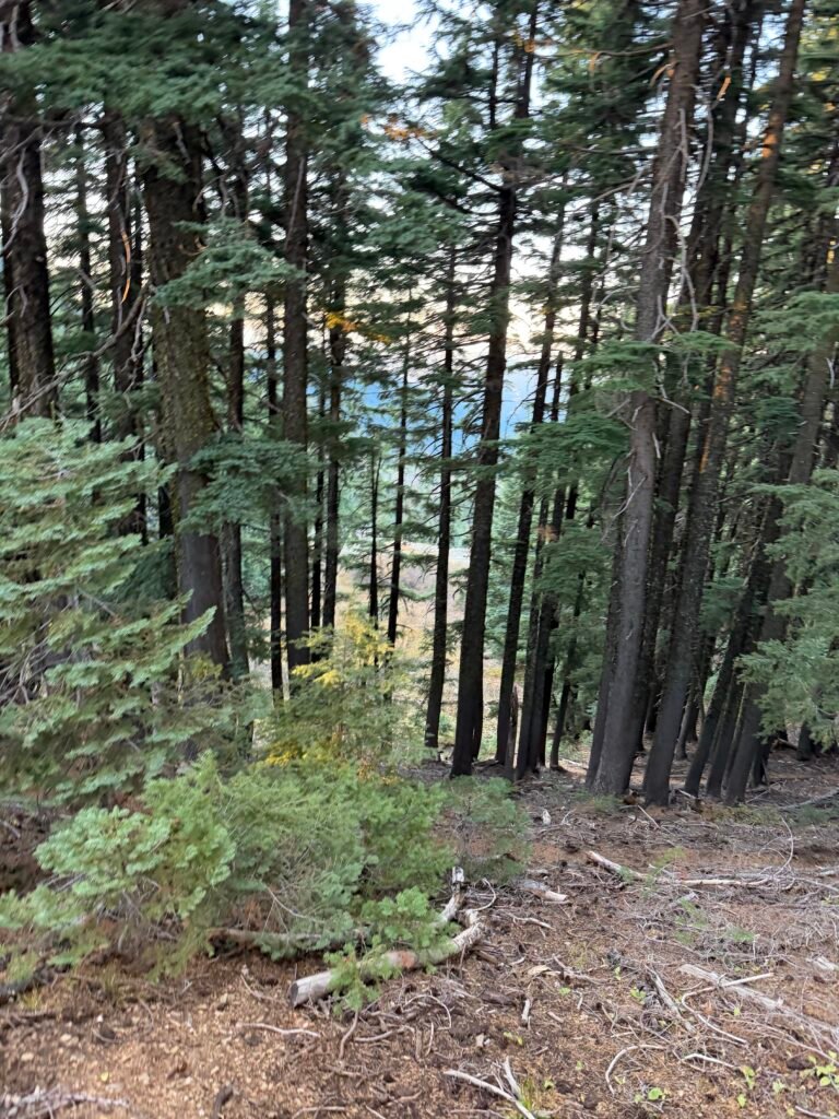
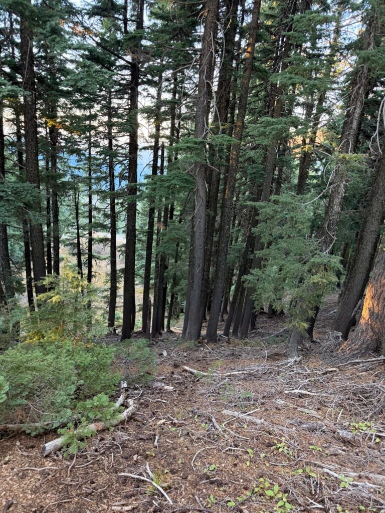
It was a relief once I finally got out of the burn zone and could finish the day among living trees. I was hoping to find a campsite with a clear view of the northern sky to possibly see the Draconid meteor shower.
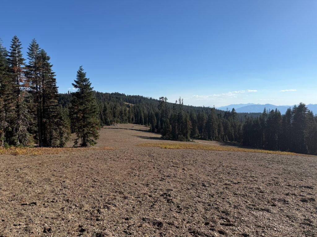
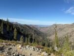
This part of the trail was a long stretch that ran along a wide crest. Not too steep and plenty of flat-ish area that could be good for a campsite. It was also used by ATV users and hunters, so if I wanted a quiet night to enjoy the night skies, I’d have to choose my campsite wisely.
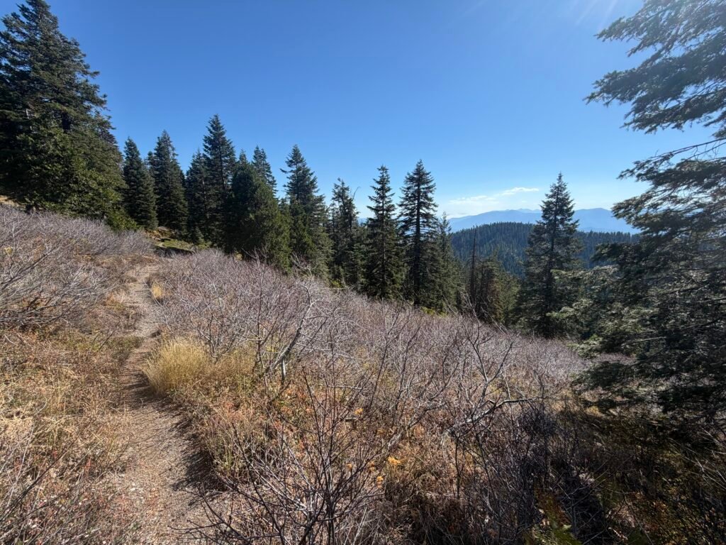
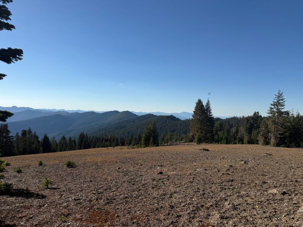
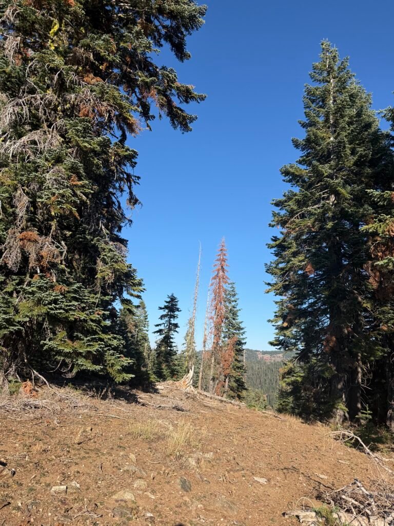
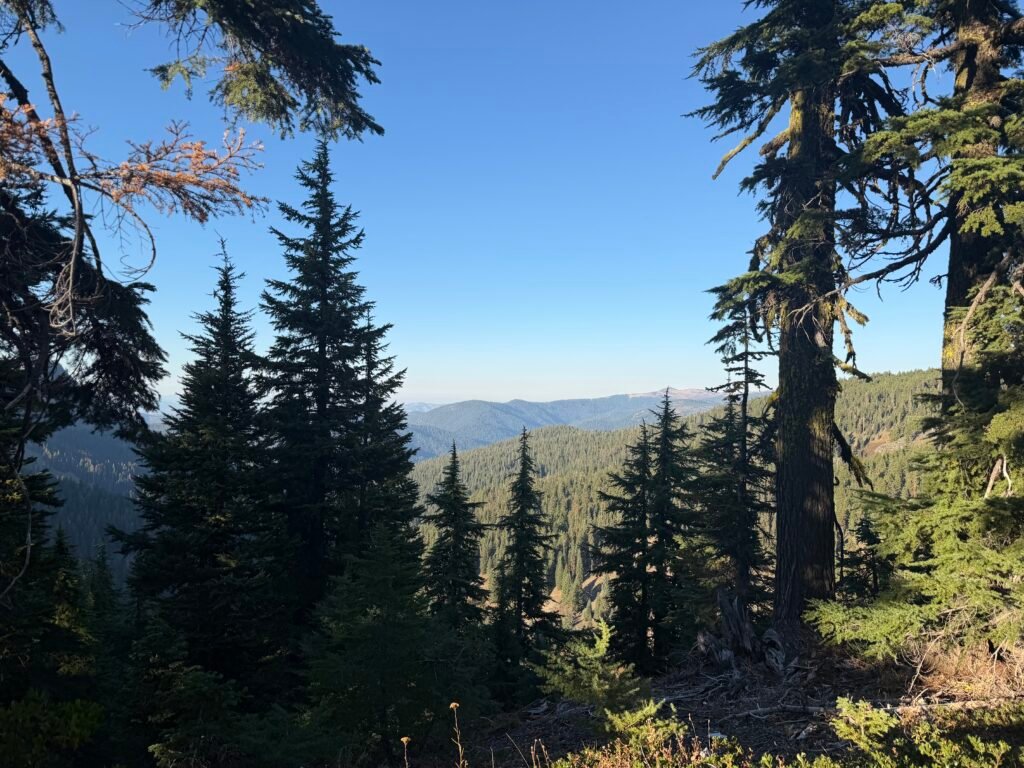
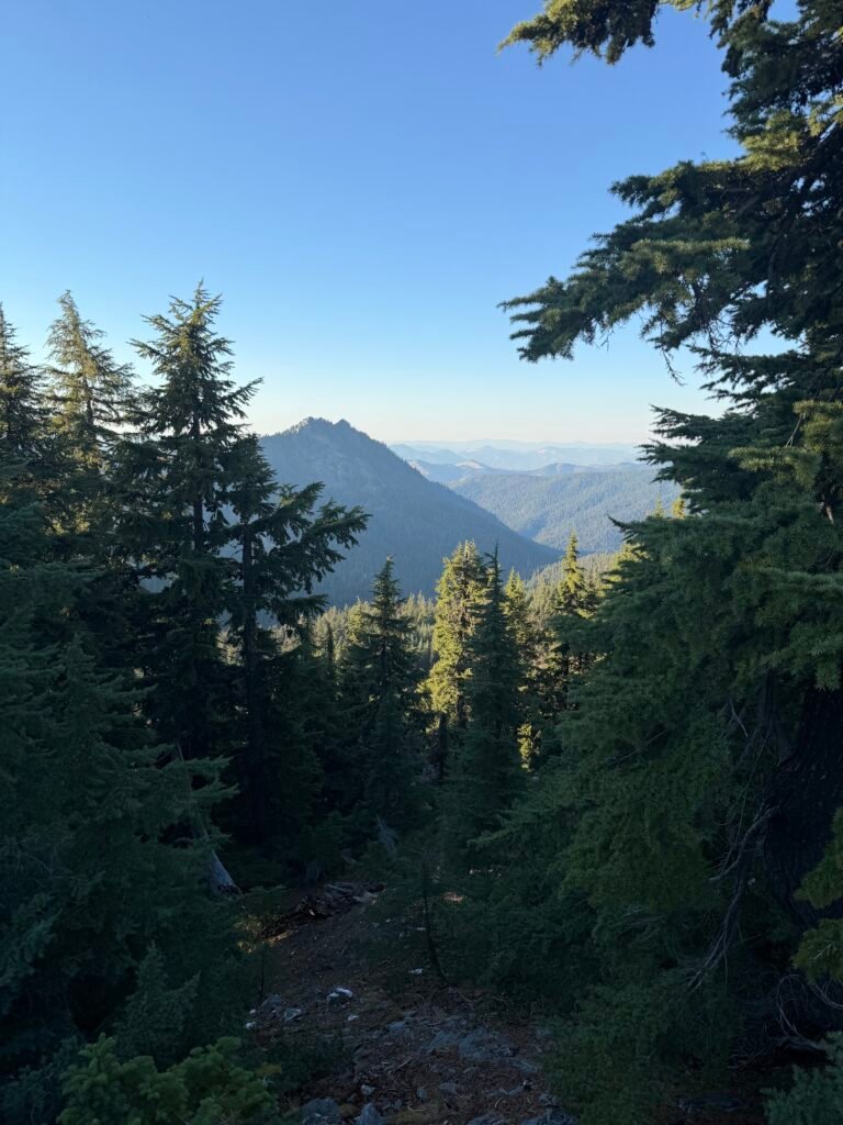
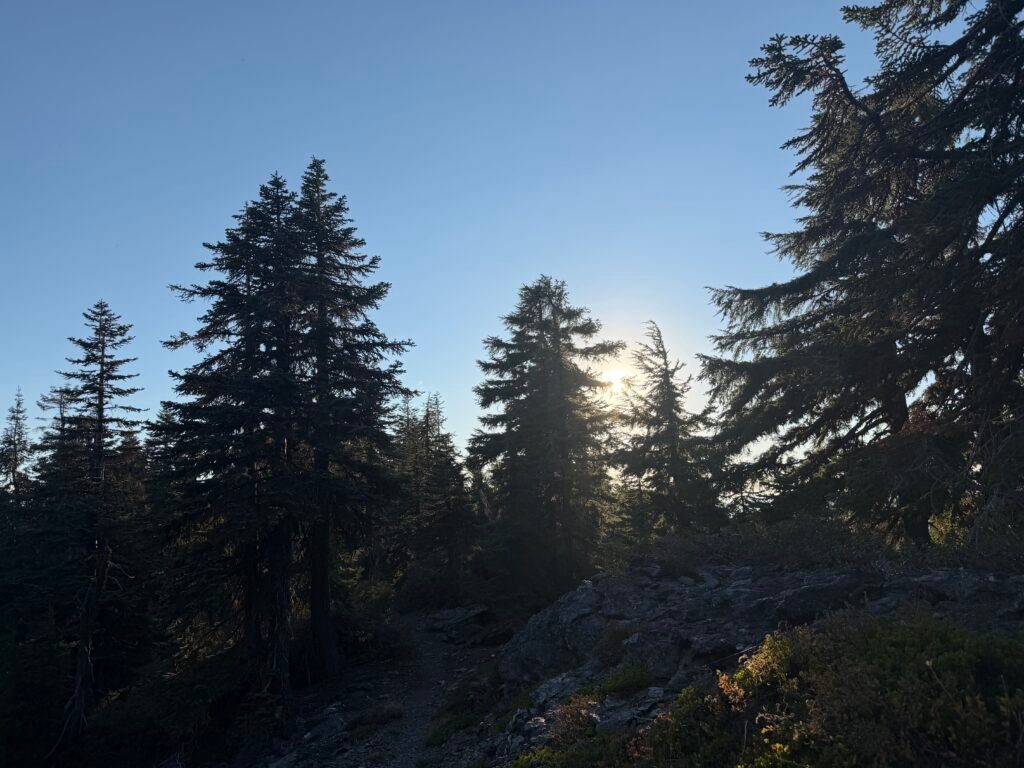
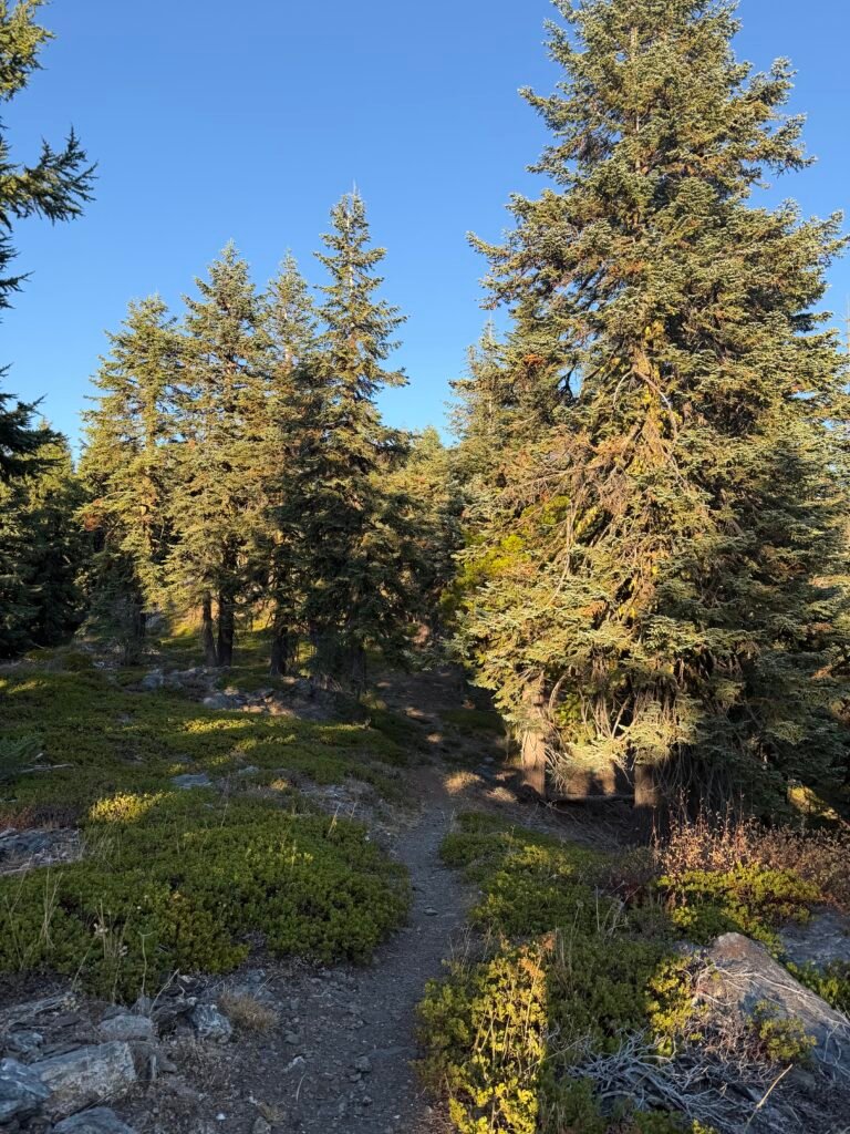
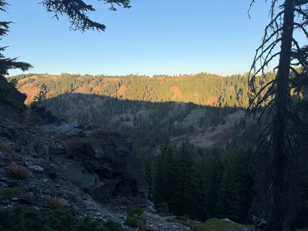
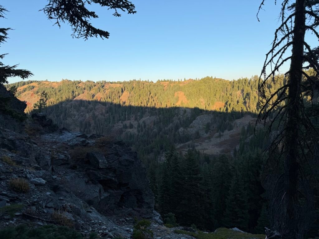
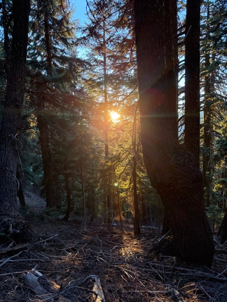
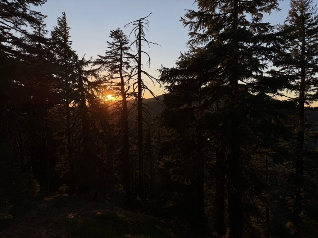
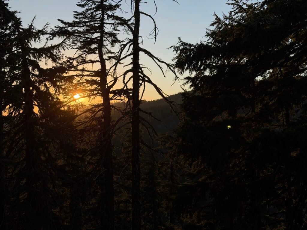
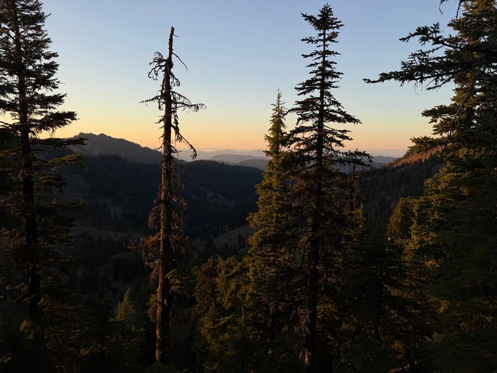
As the day grew short, I was reminded of my quest to reach Oregon and the fate of other people who once tried to reach Oregon.
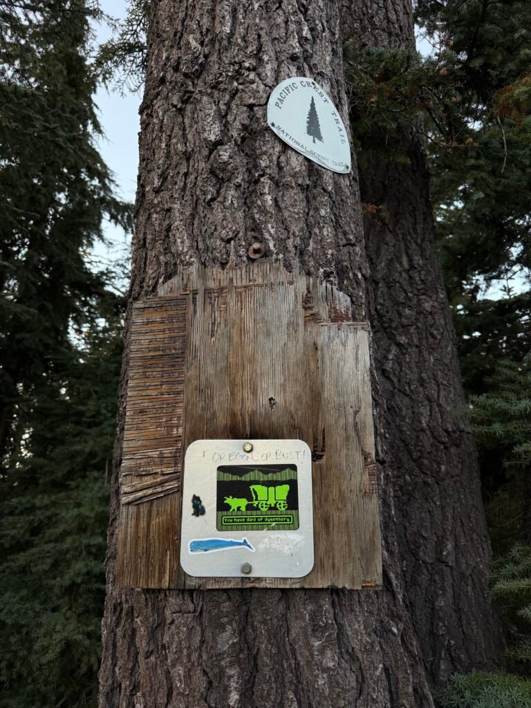
I assumed my quest would turn out better than that.
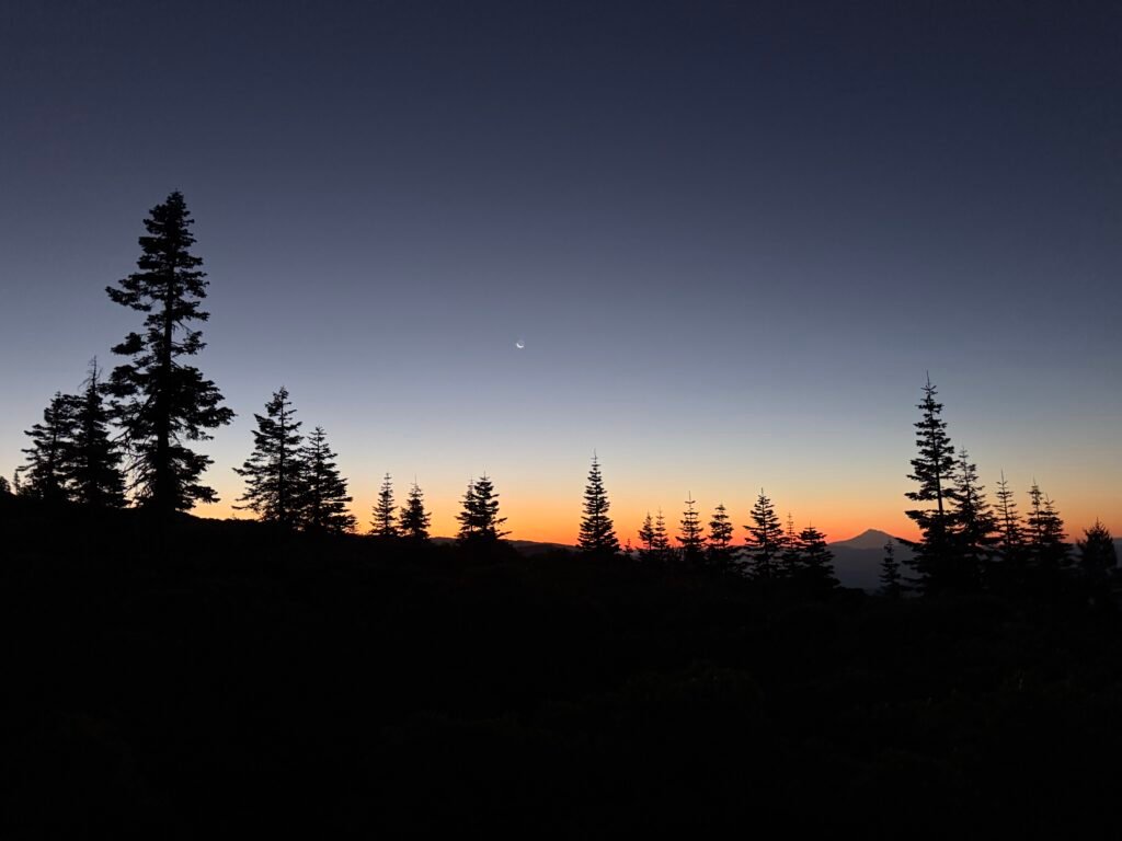
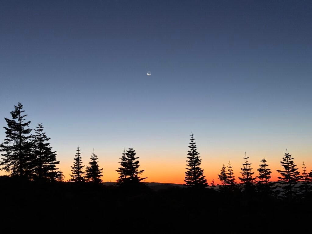
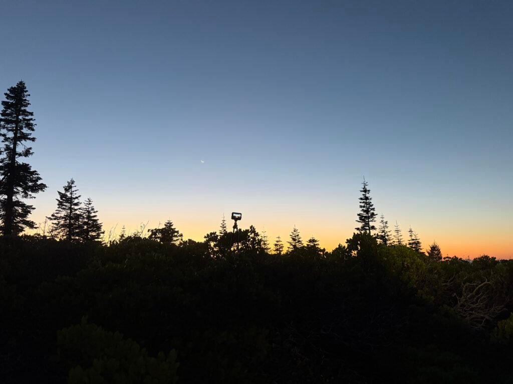
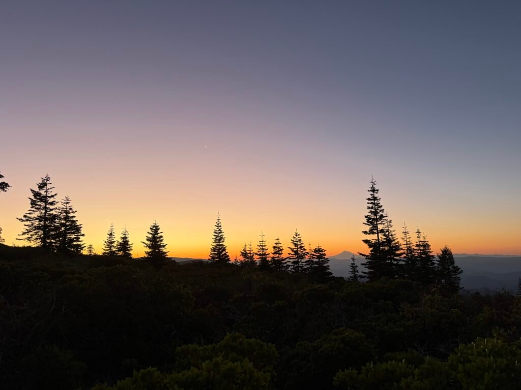
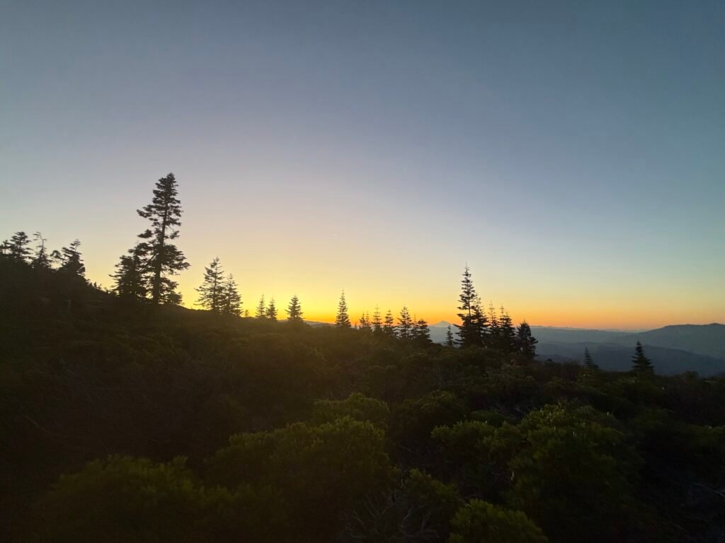
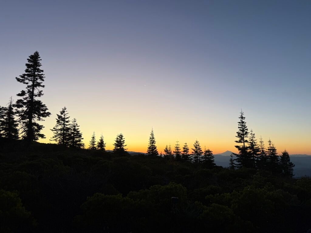
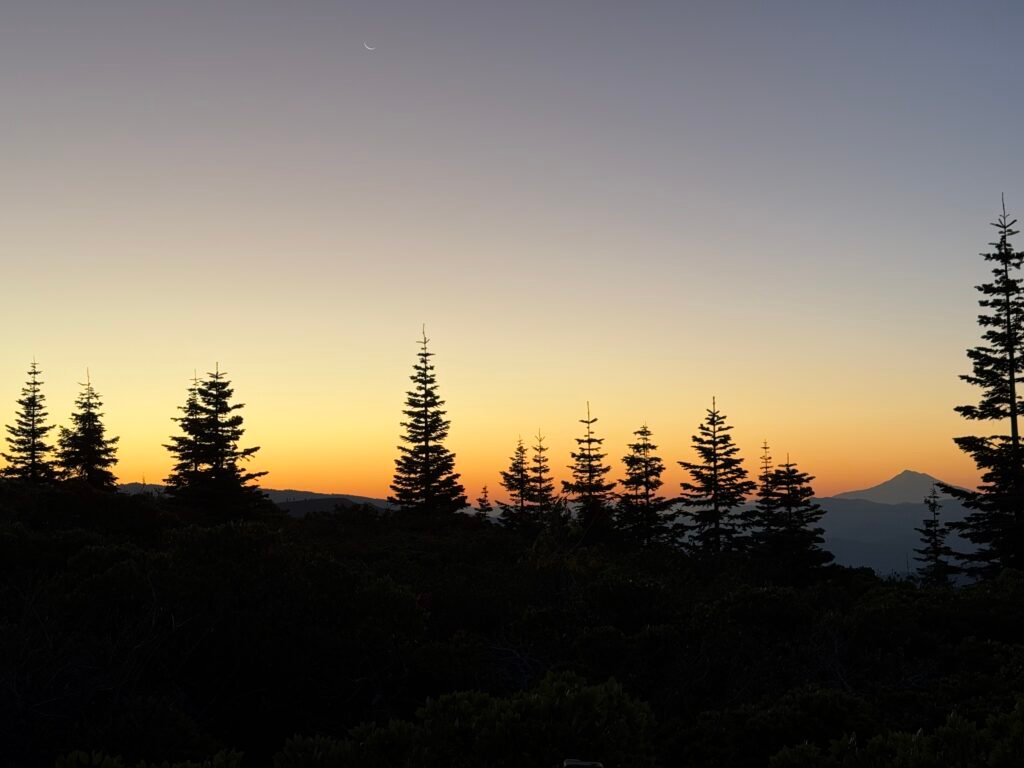
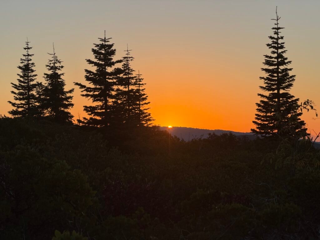
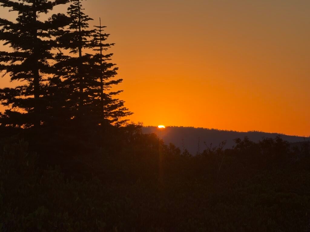
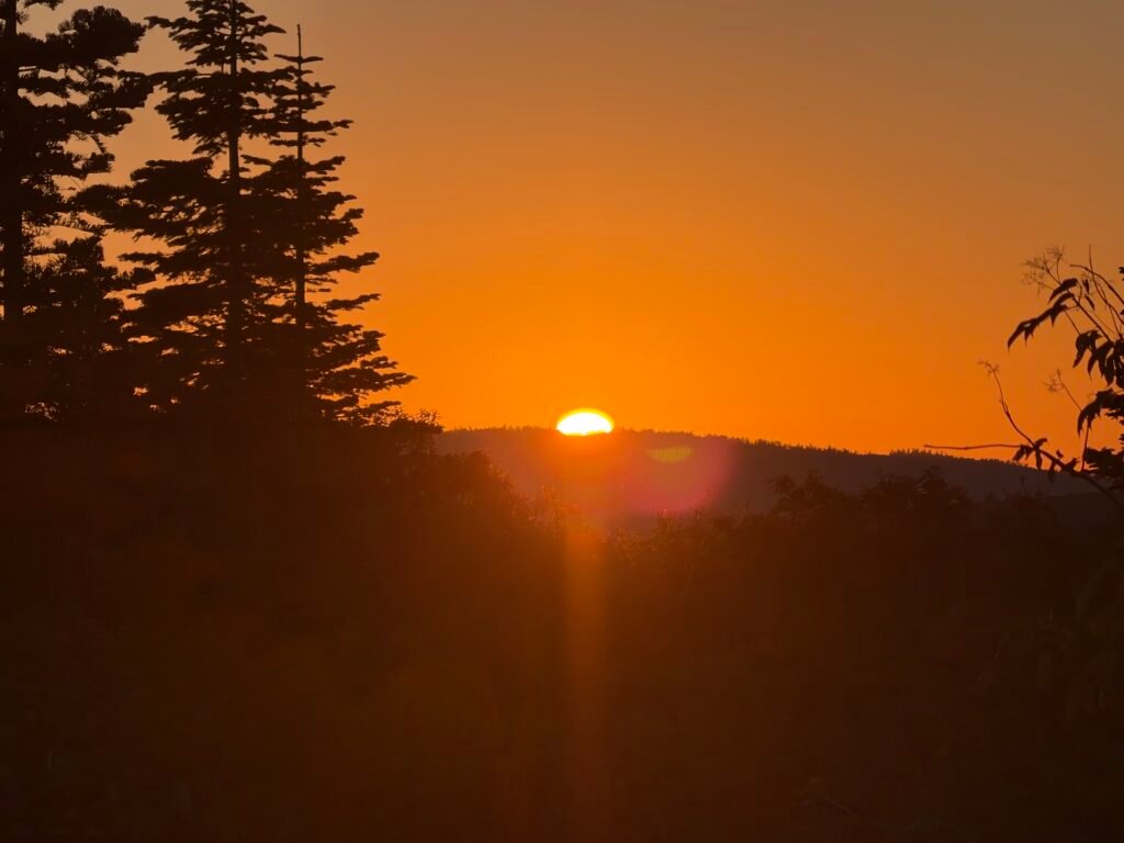
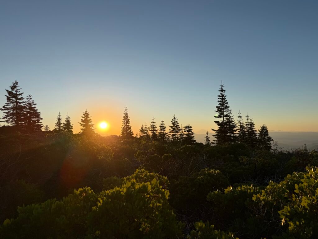
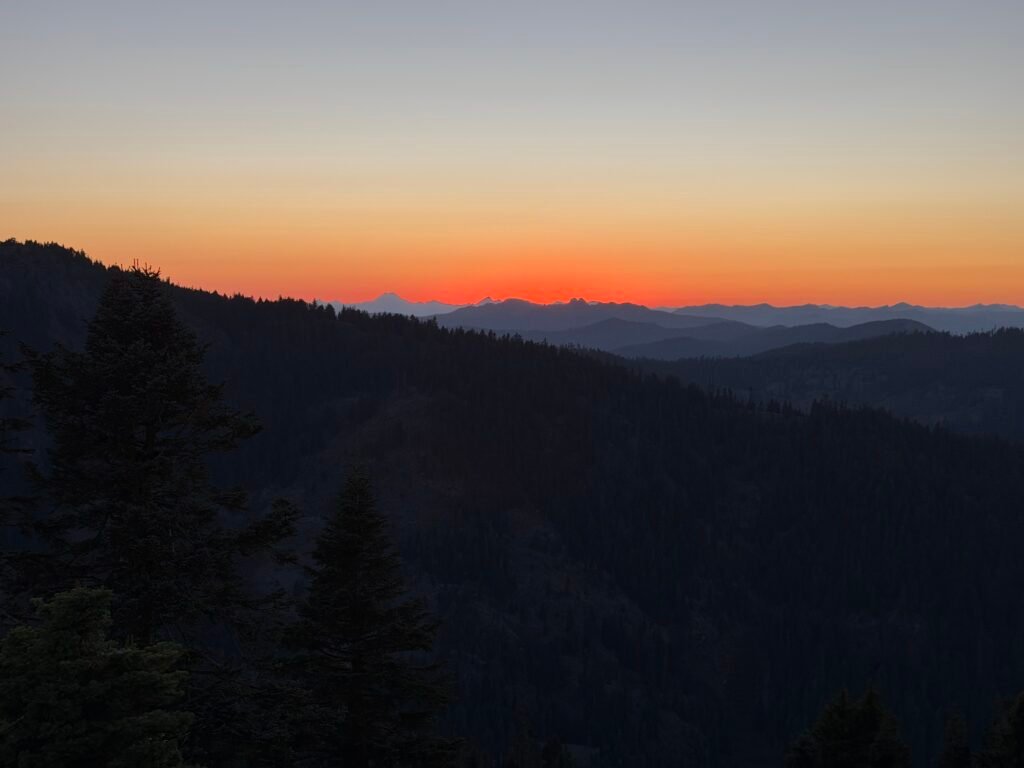
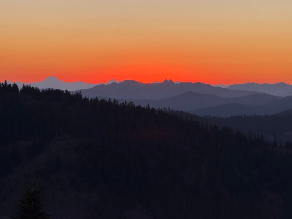
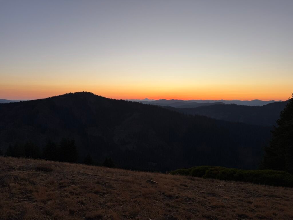
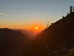
After seeing the sunset from the trail (again), I finally found (or more accurately ‘made’) a flat area with a clear view of the northern sky.
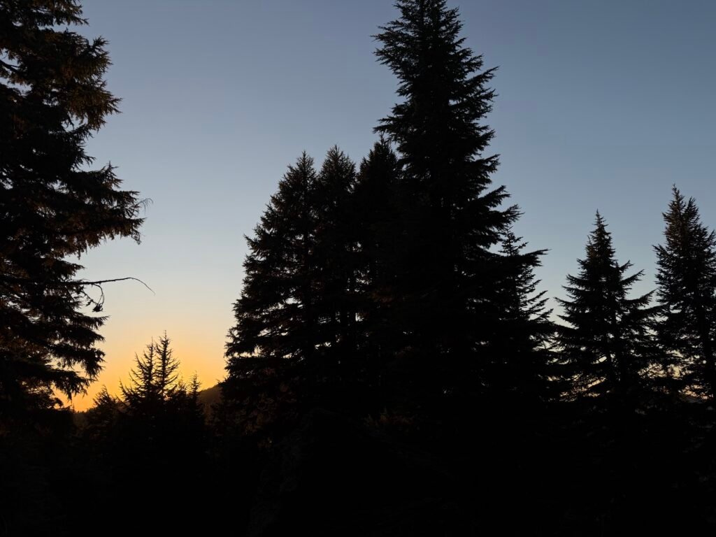
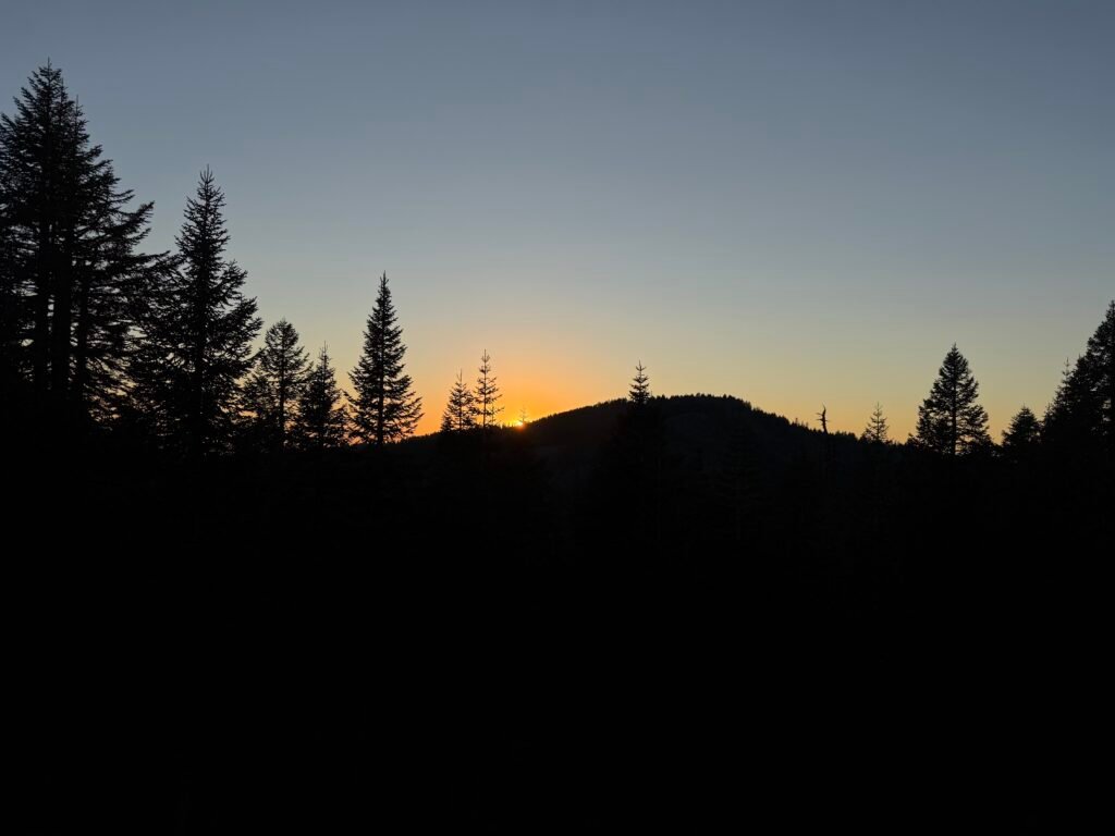
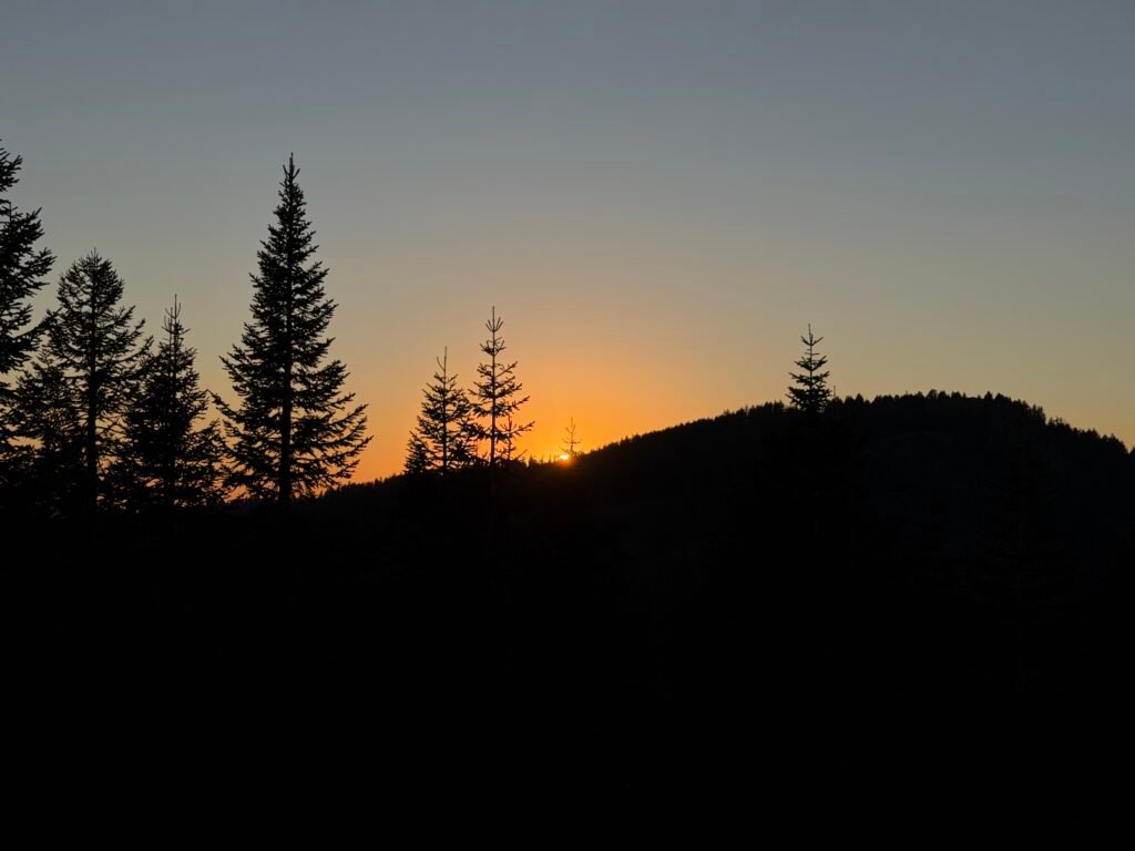
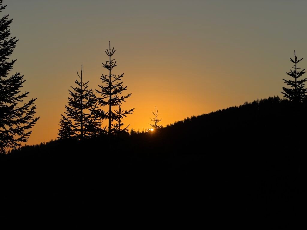
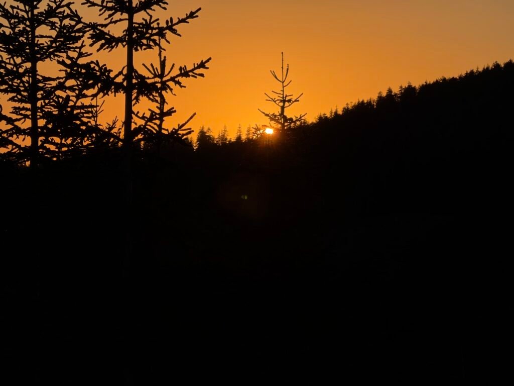
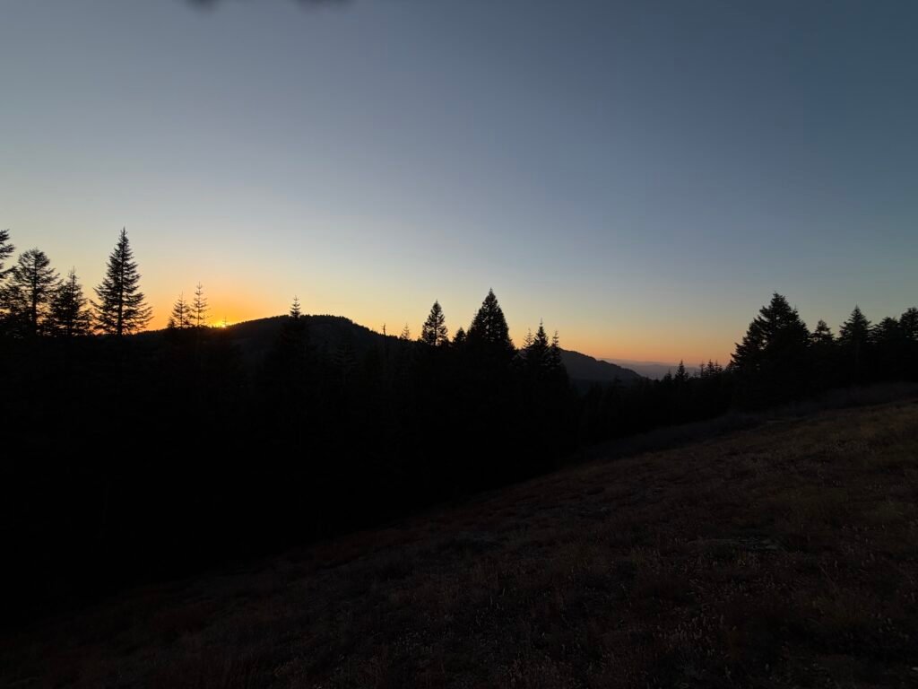
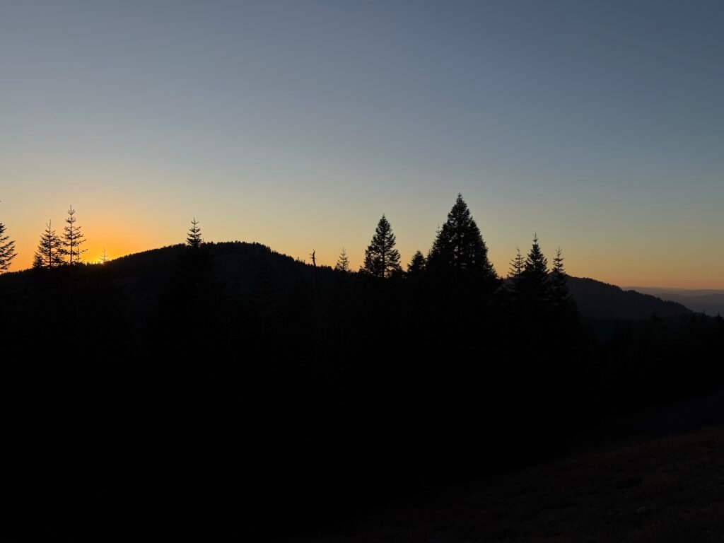
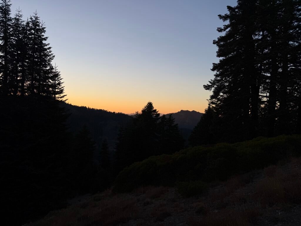
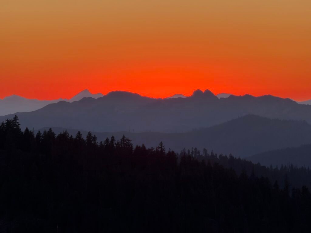
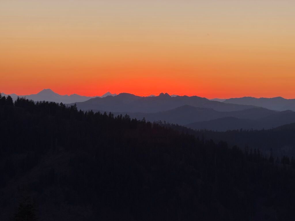
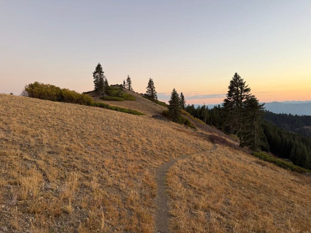
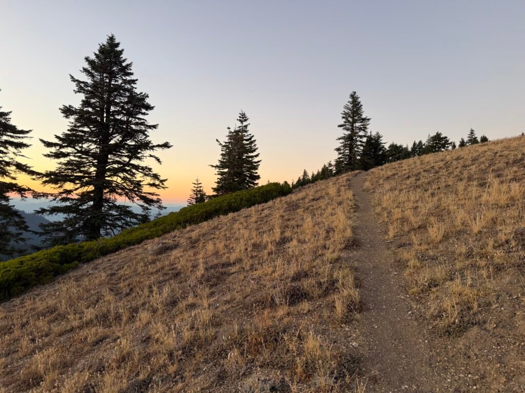
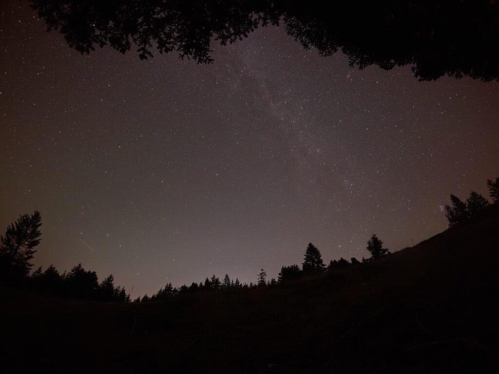
I did see some meteors live, but the time lapse movie I took helps spot a few probable sightings.
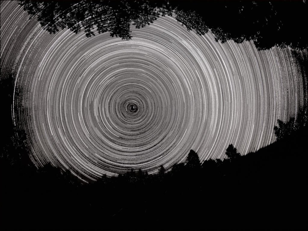
It was hard to know what was a meteor in the time lapse movie and what was a airplane, but here are a few stills of likely suspects.
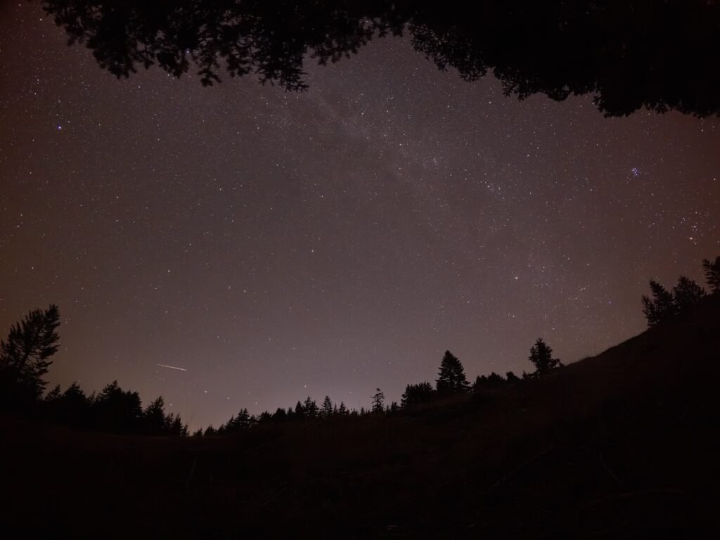
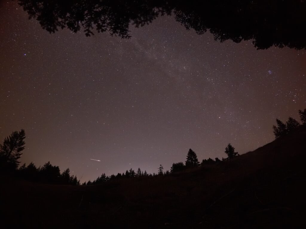
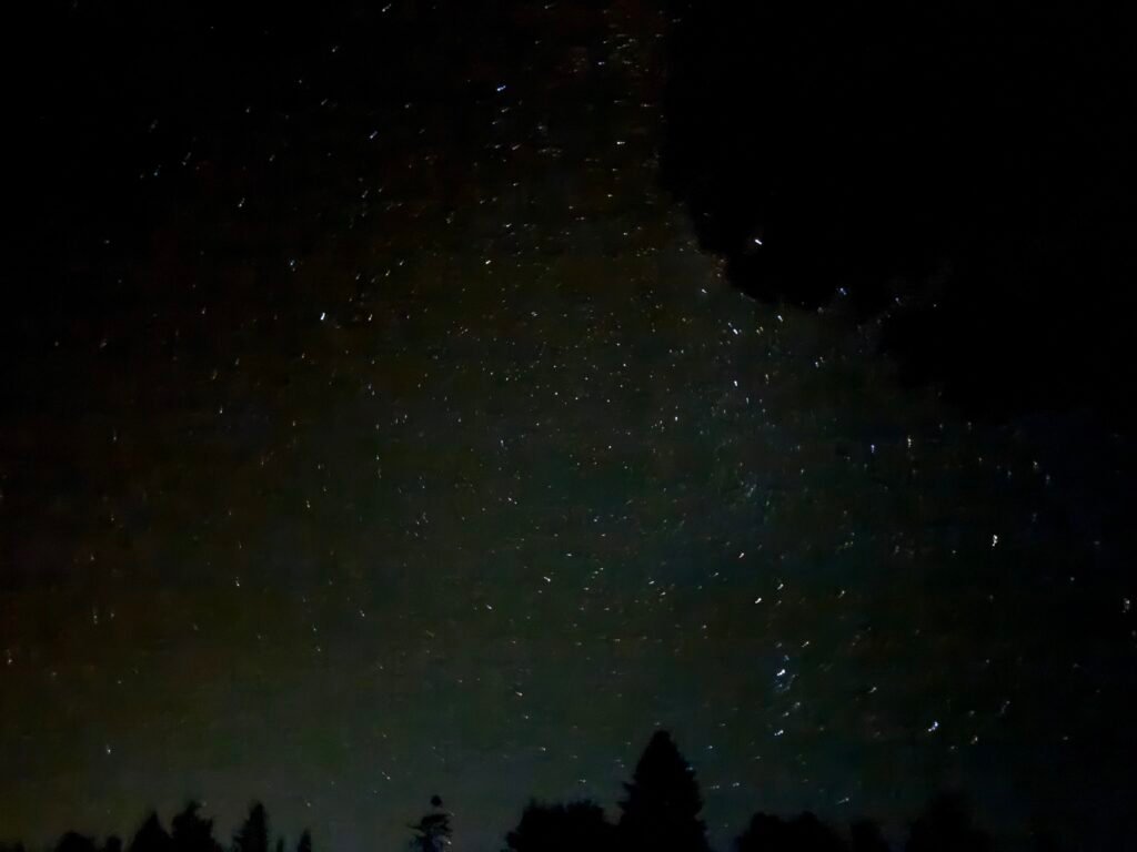
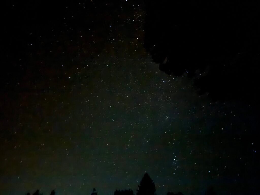
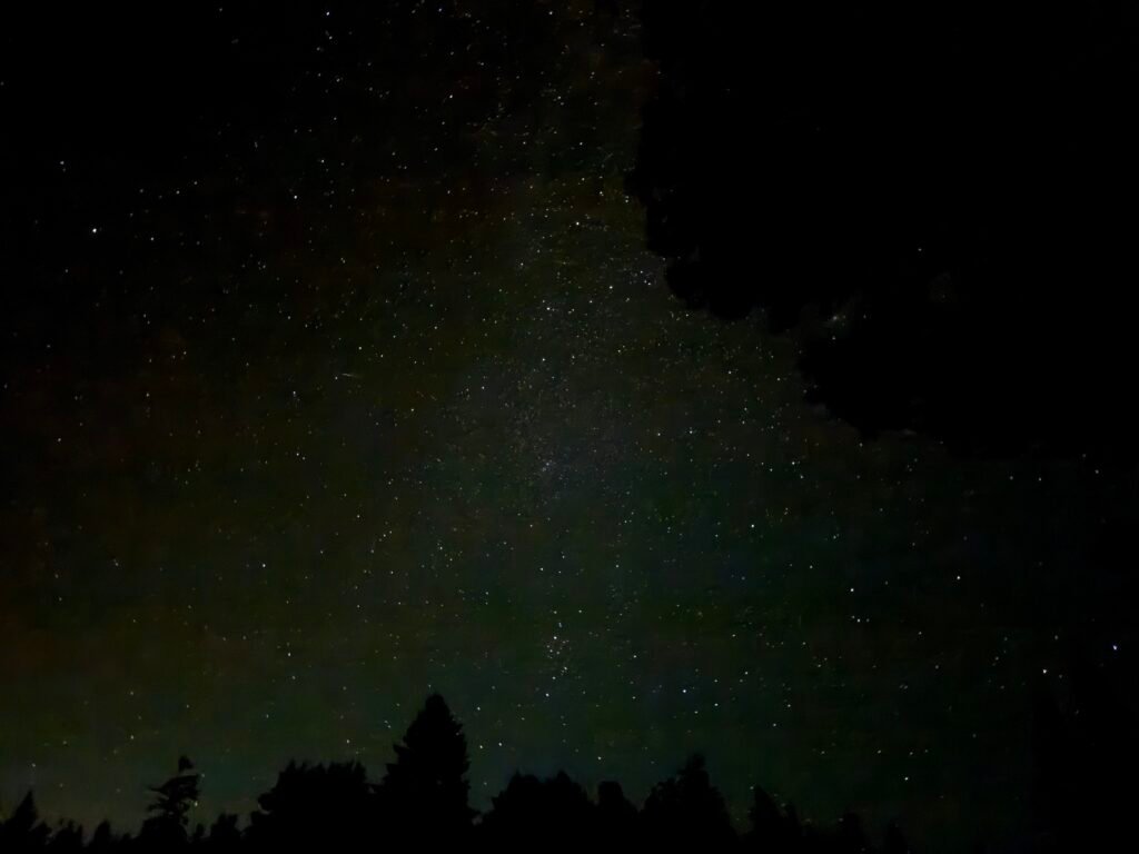
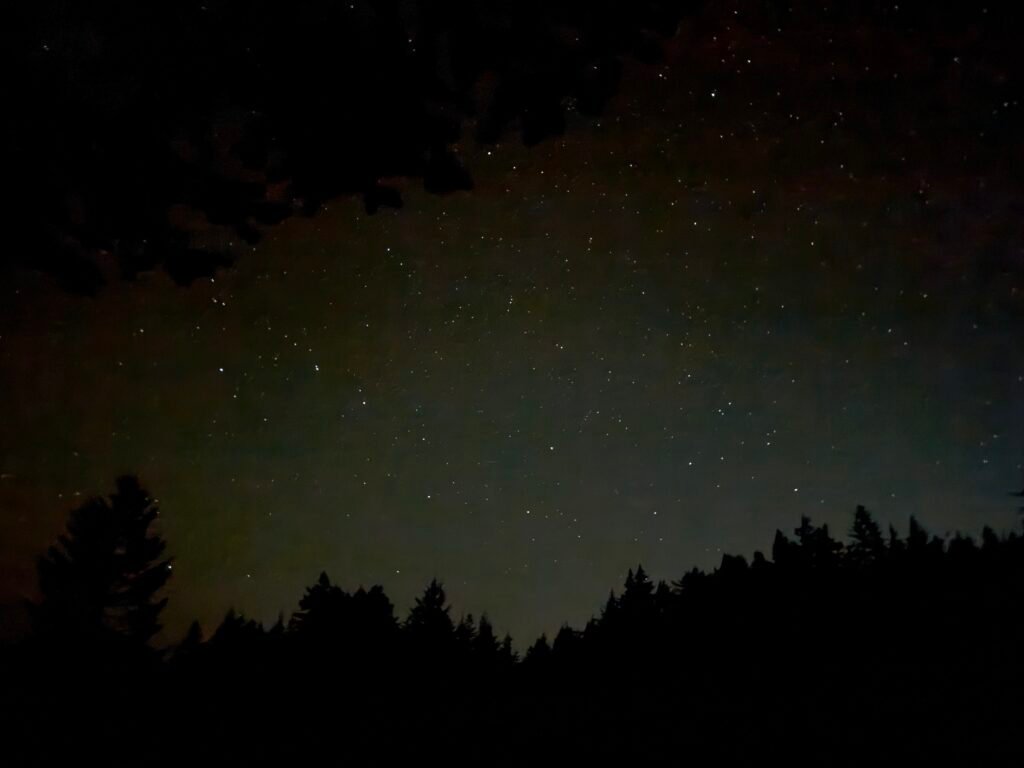
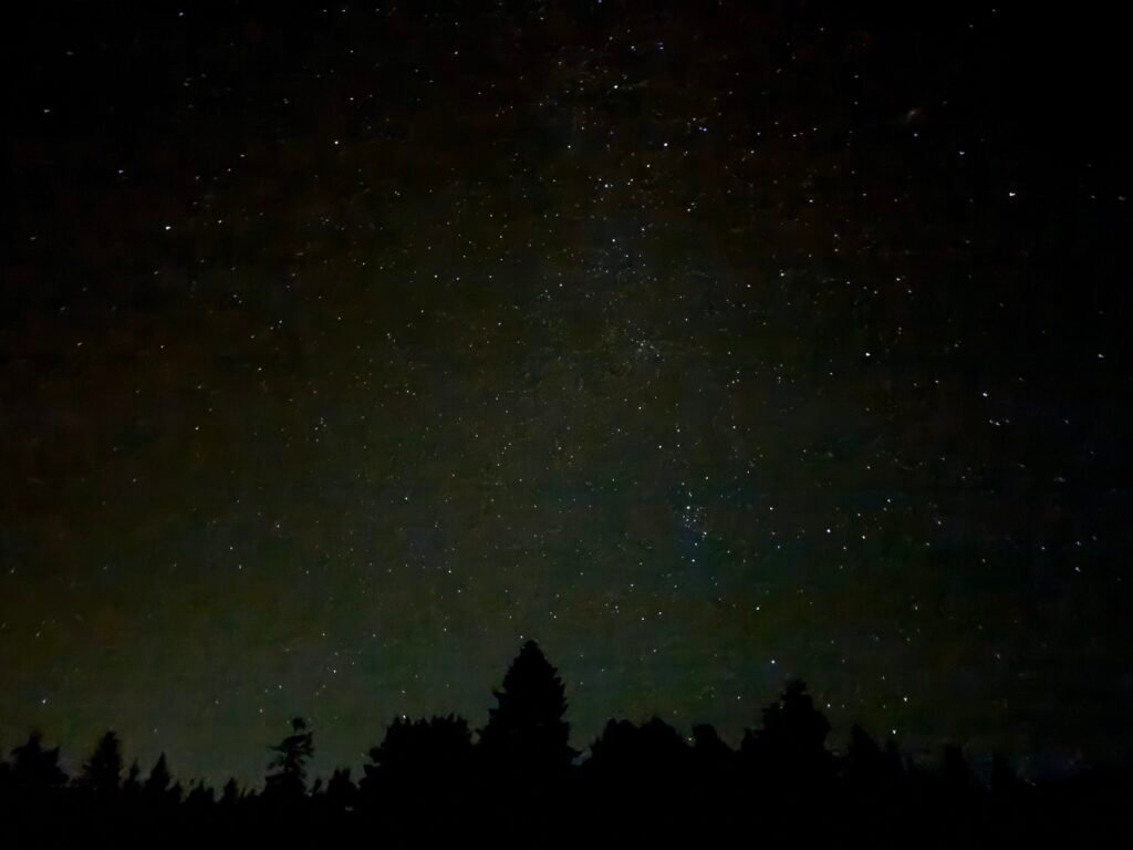
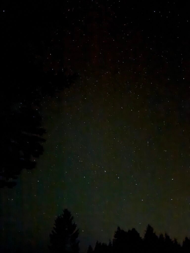
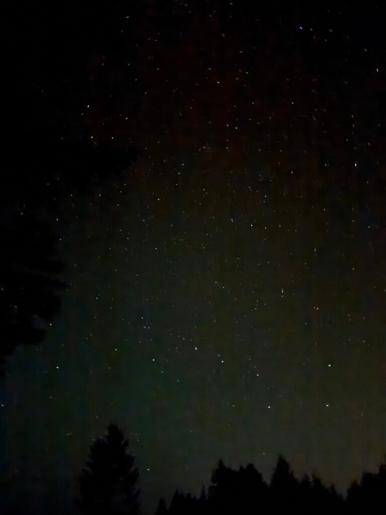
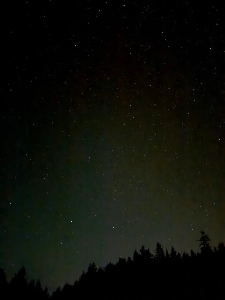
With the push to find a northern view of the sky, I ended up with just over 7 miles to hike the next day in order to reach the Oregon border! While not the Canada border I had hoped to celebrate reaching this year, this new goal was within reach.
Mile 1669.9 to 1686.1 – 16.2 miles total hiked on PCT
7.1 miles to the California/Oregon border!!

Comments by WanderingJim
PCT Mile 1528 and then…
"Yes, got home safe, but got trail sick and wanted to get..."
PCT DAY 85 – CA Section H
"No cell service in many parts of the PCT. Not dead yet."
PCT or BUST!
"Yes, I’ll be going through there by early August"
JMT 2020 Day 3
"I'm afraid I have no idea. Not really a fisherman, so don't..."
JMT 2020 Trek Day by Day
"Yeah, but with 9,000 pictures, it's hard to label each one..."