Saturday, October 10th, 2026
My hope that the forecasted rain wouldn’t happen overnight was dashed pretty quickly that night. I wouldn’t call it a hard downpour of rain (although I avoided going out to water the bushes as much as possible), but it did rain.
Despite my staking our my rain fly tightly, I did get a few small water intrusions into my tent. Nothing major, but I did have to wipe up a few puddles that made their way inside either by holes or by condensation. Overall, it held up better than during the last rain on trail before I reached Mount Shasta.
It was cold, but I can’t say it was bitterly cold inside the tent. I only wore one pair of socks (but added another pair sometime in the middle of the night), my fleece pants, and fleece shirt. Plus my puffy jacket on top and my sleeping bag, of course.
A couple trips outside before dawn did reinforce the feeling that it was at or near freezing. The frost on the trees and bushes made the ‘freezing’ part of the weather forecast more likely than not.
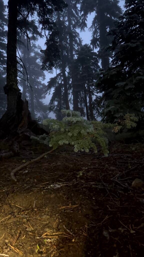
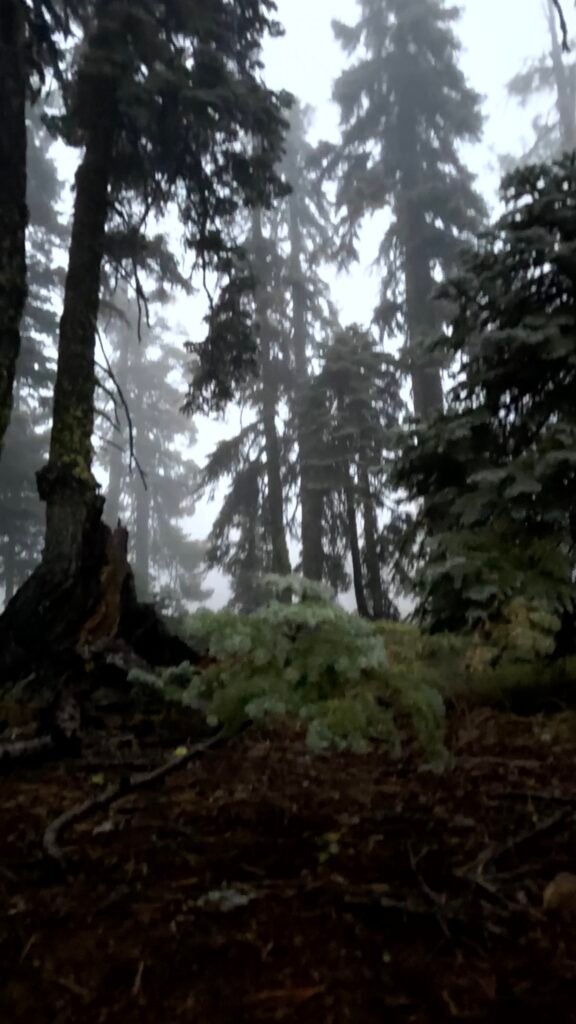
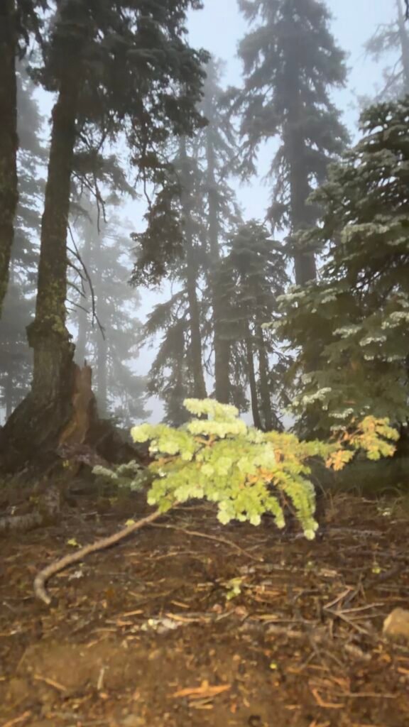
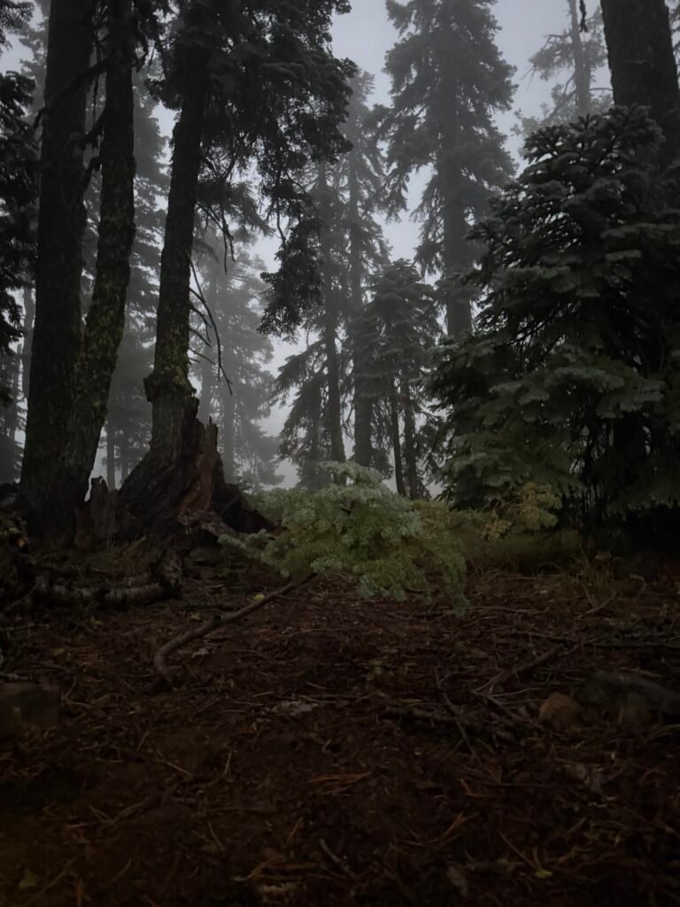
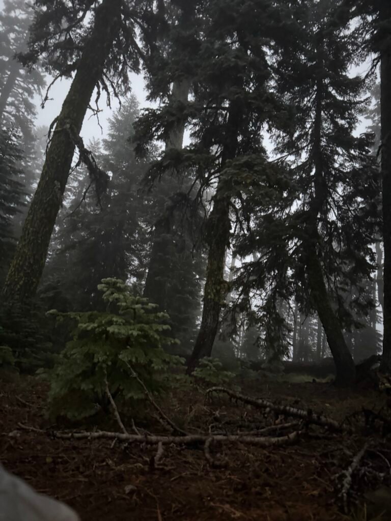
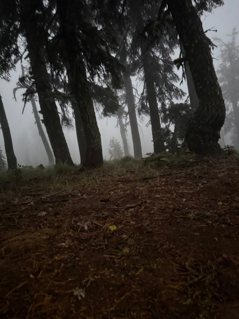
I did cook up a hot breakfast to try to warm up as the sun came up. It wasn’t until I got out of the tent and started packing up my gear that I confirmed the freezing, overnight temperatures.
The tent’s fain fly was completely covered in sheets of ice.
Ironically, that probably helped keep water from getting inside the tent. The ridge ice covering kept the rain fly from blowing against the inside tent and transferring moisture while at the same time providing me with a little insulation from the cold outside.
Somewhat like a igloo made out of freezing snow/ice can still be warmer than the outside environment. That was probably why I didn’t feel that cold the previous night.
But outside the tent that morning, I felt very cold. 🙂
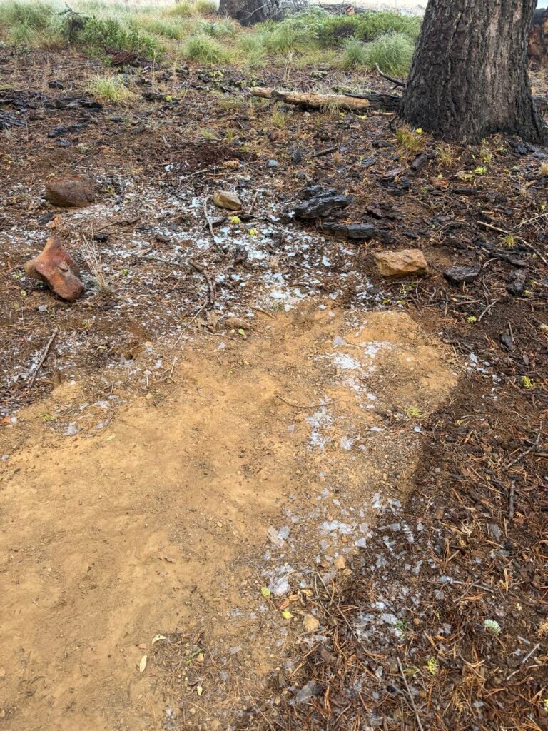
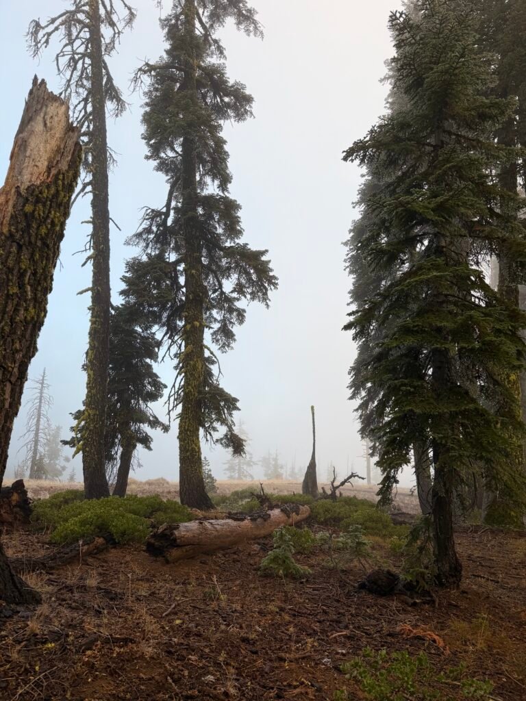
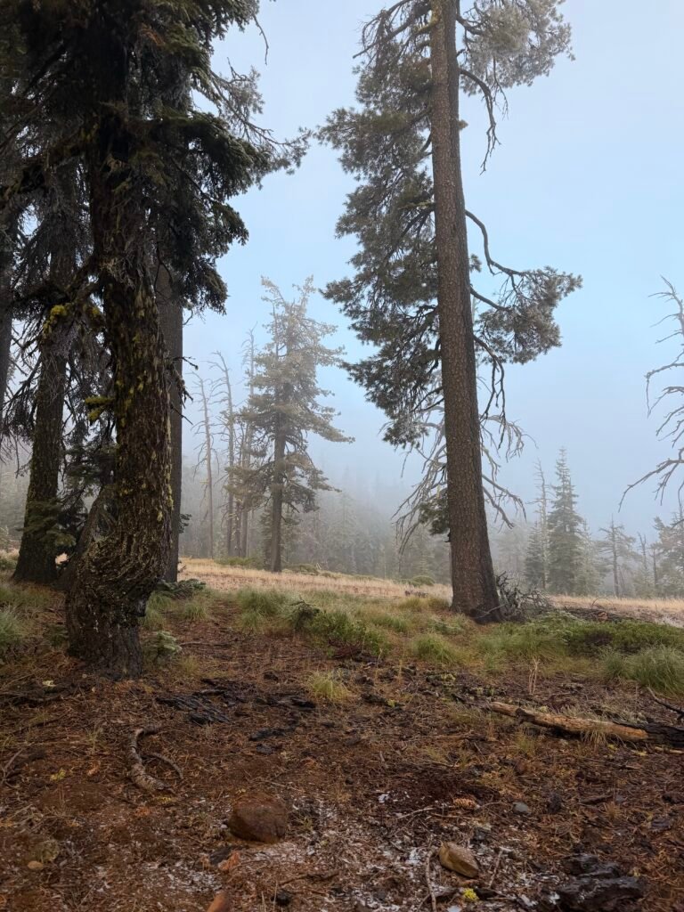
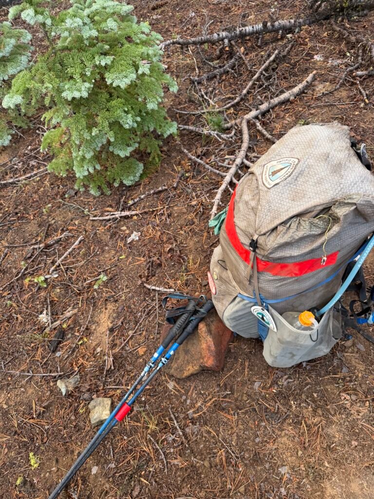
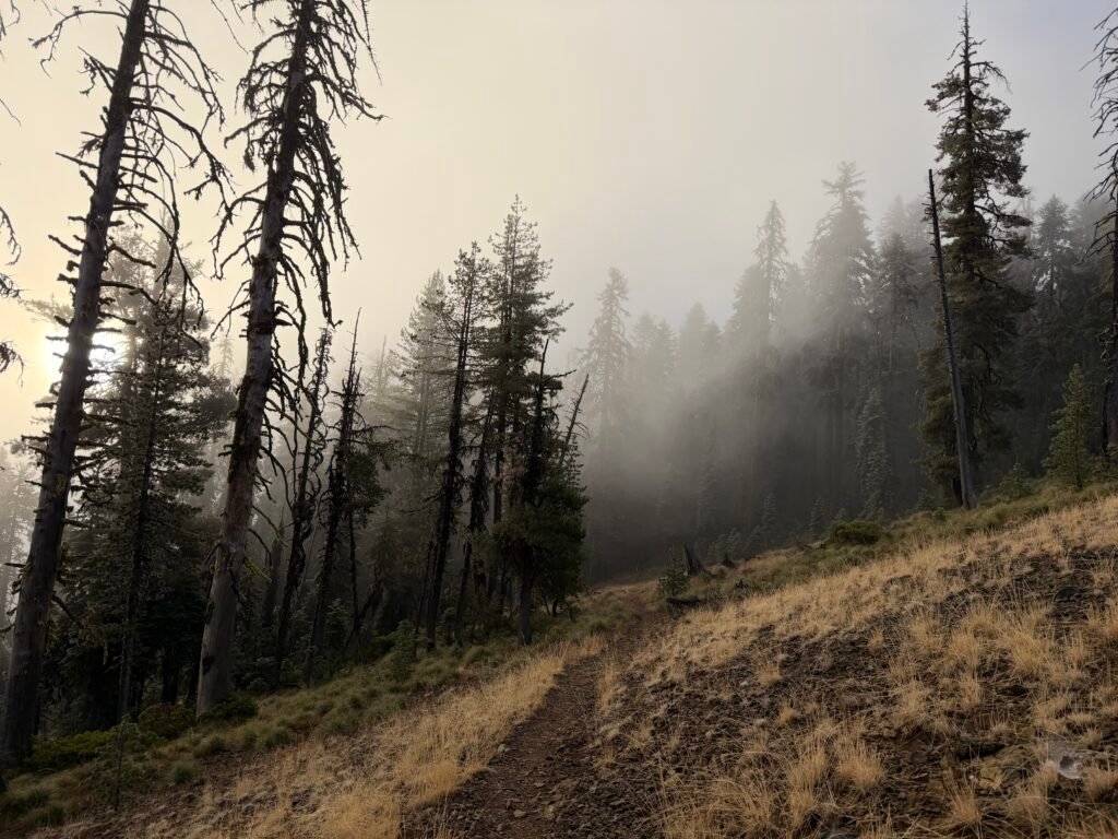
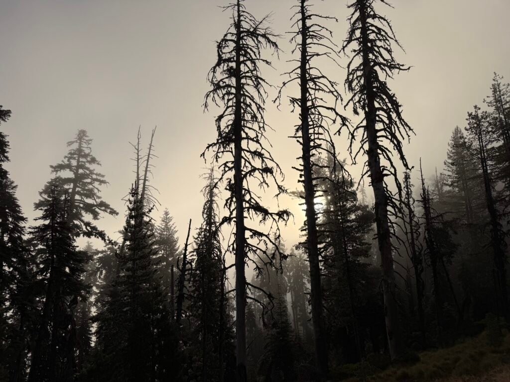
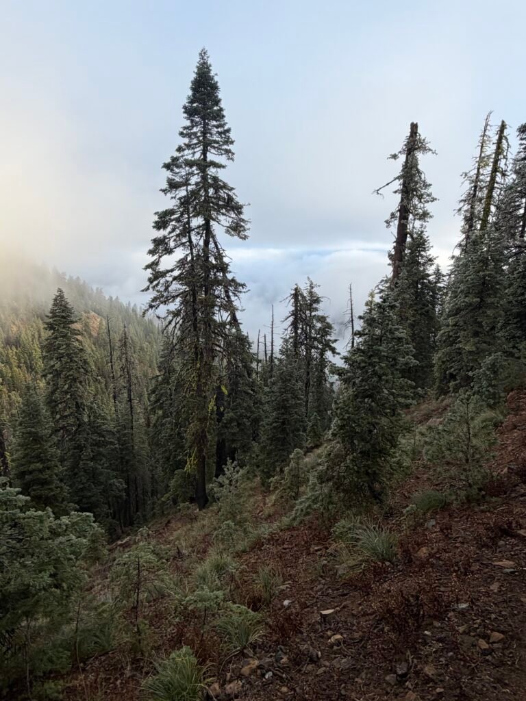
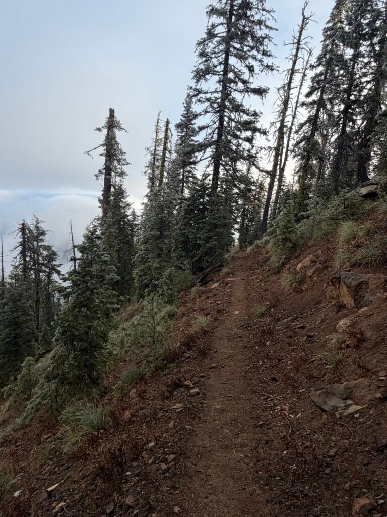
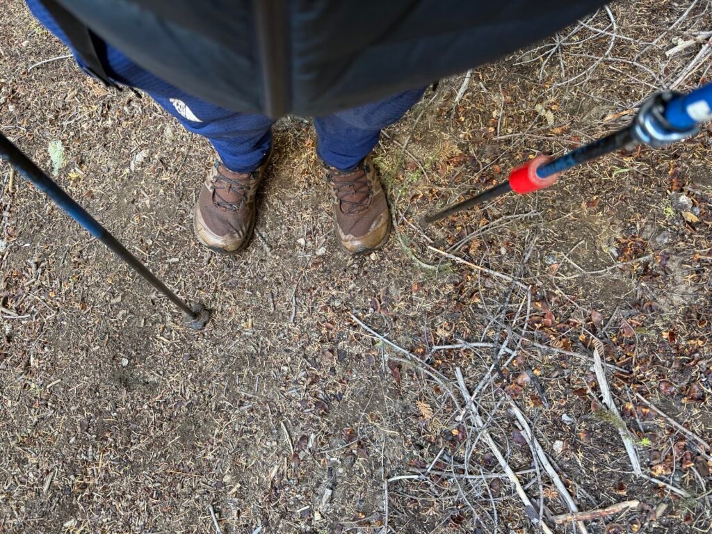
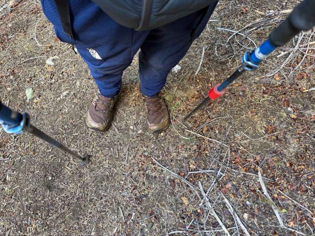
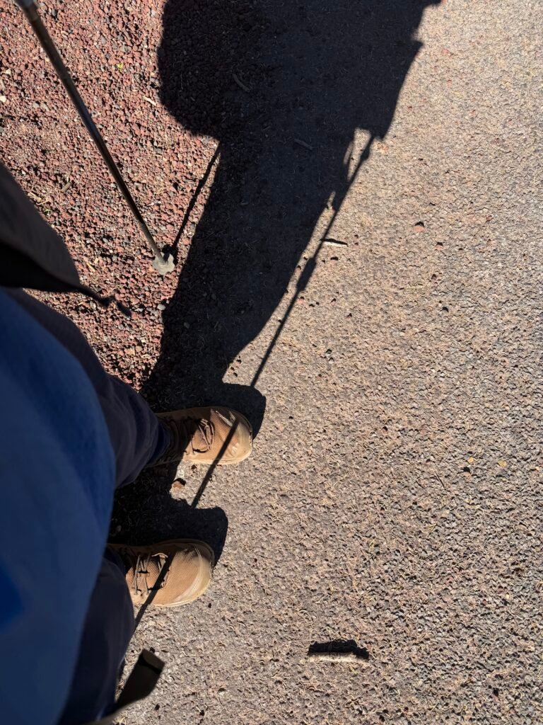
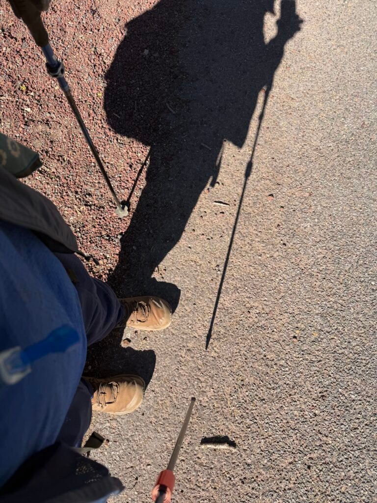
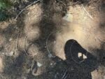
How cold did I feel? This cold:
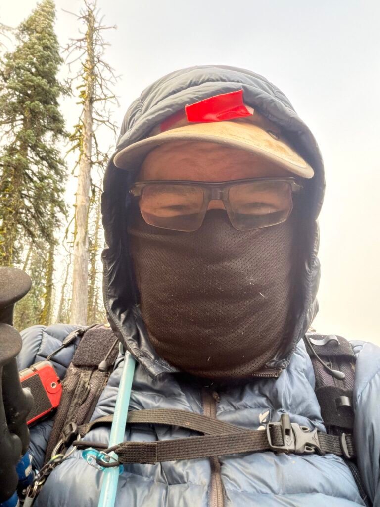
For the first time on the trail that year, I was wearing both my hiking pants AND my fleece pants. I also kept wearing my fleece shirt and puffy jacket for most of the day. Usually, I don’t need either my light or puffy jacket past the first hour or two in the morning.
The cold and the strong wind led me to using my neck gaiter to keep my neck and face warm as the cold day continued as I kept going on my hike through the frozen wasteland (also known as Southern Oregon 😀 ).
It didn’t help that there was a steep climb to start the day.
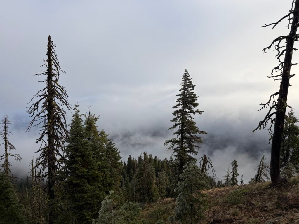
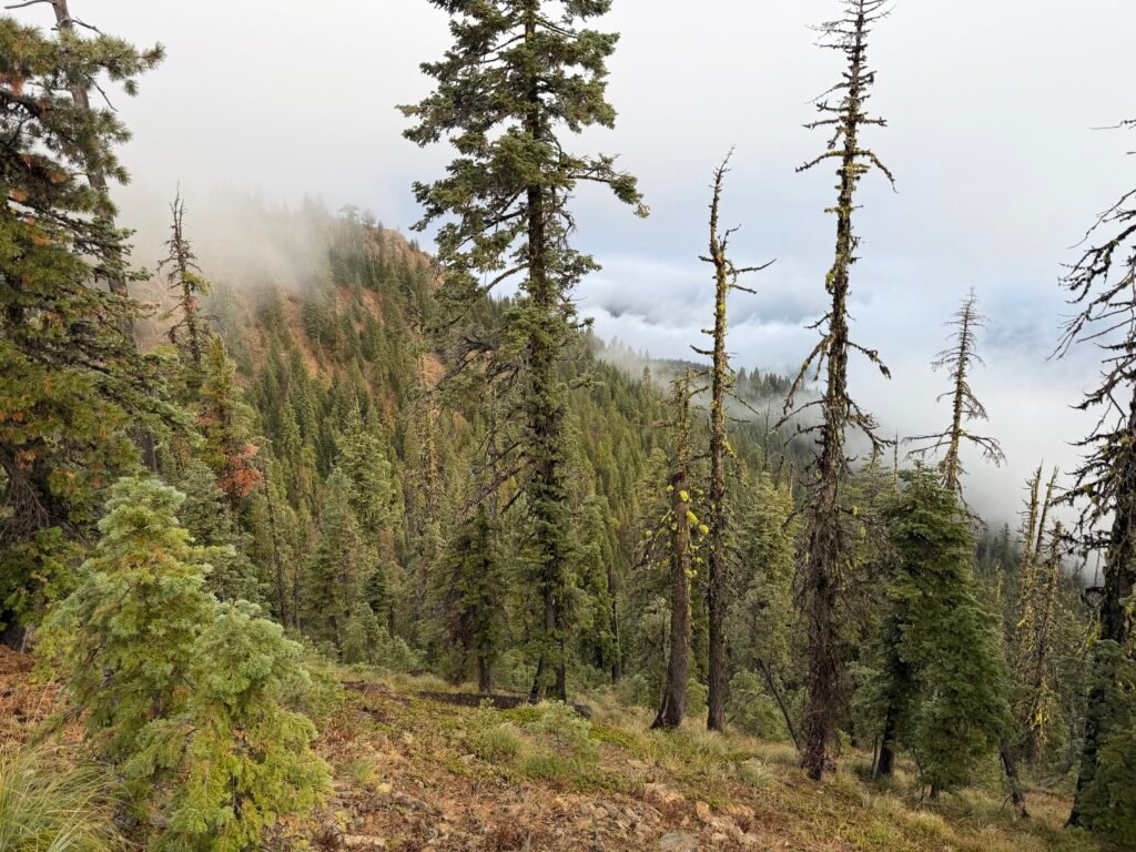
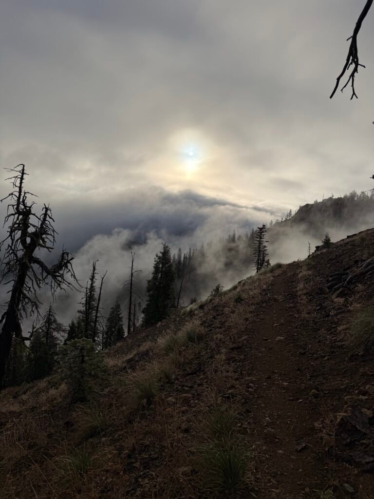
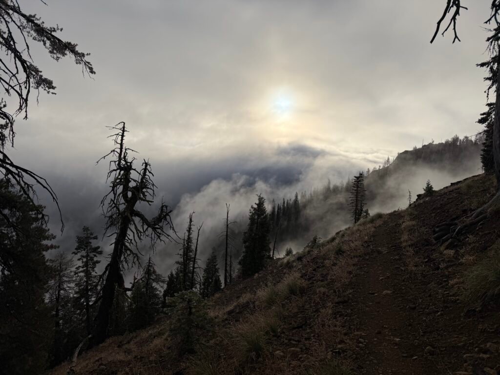
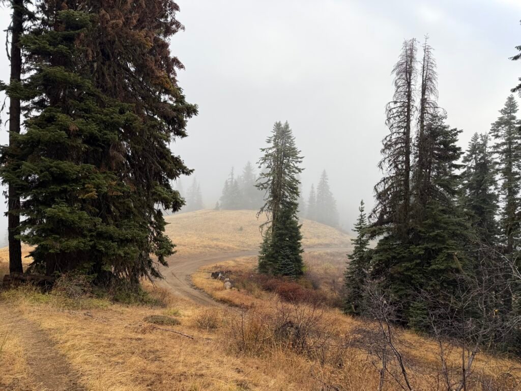
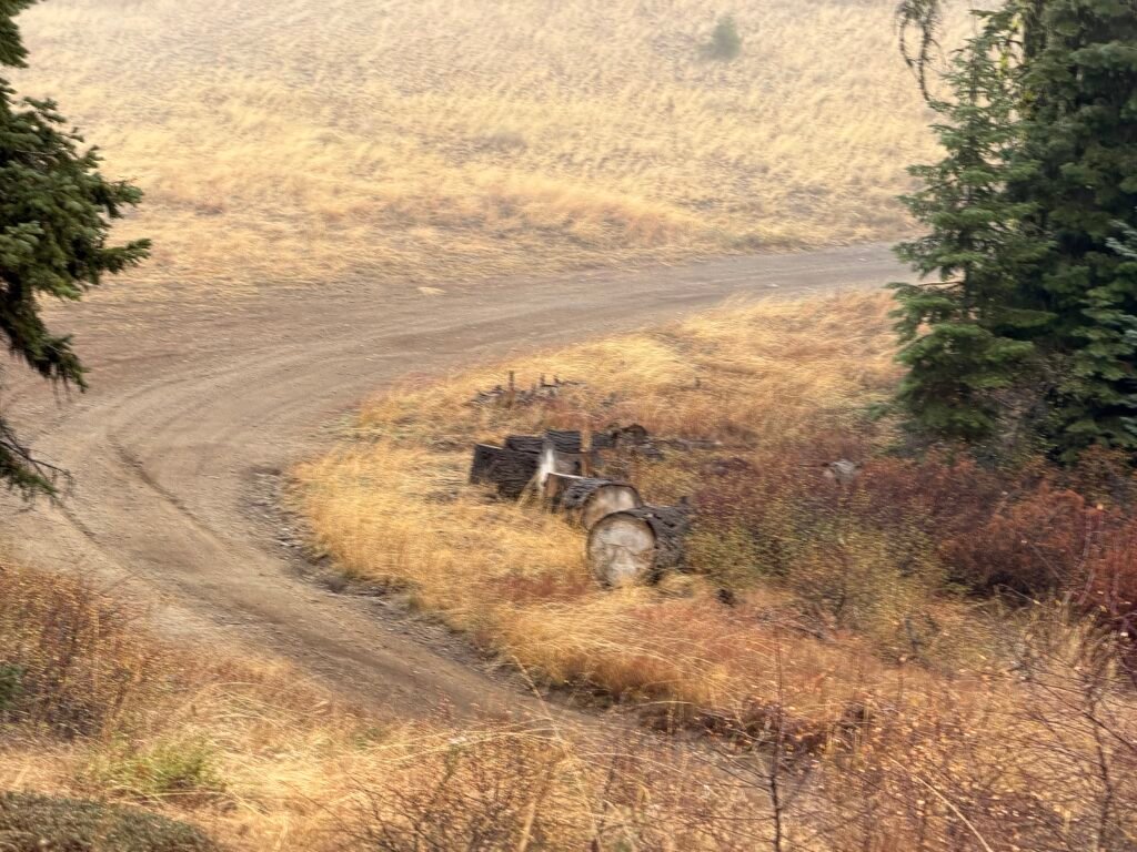
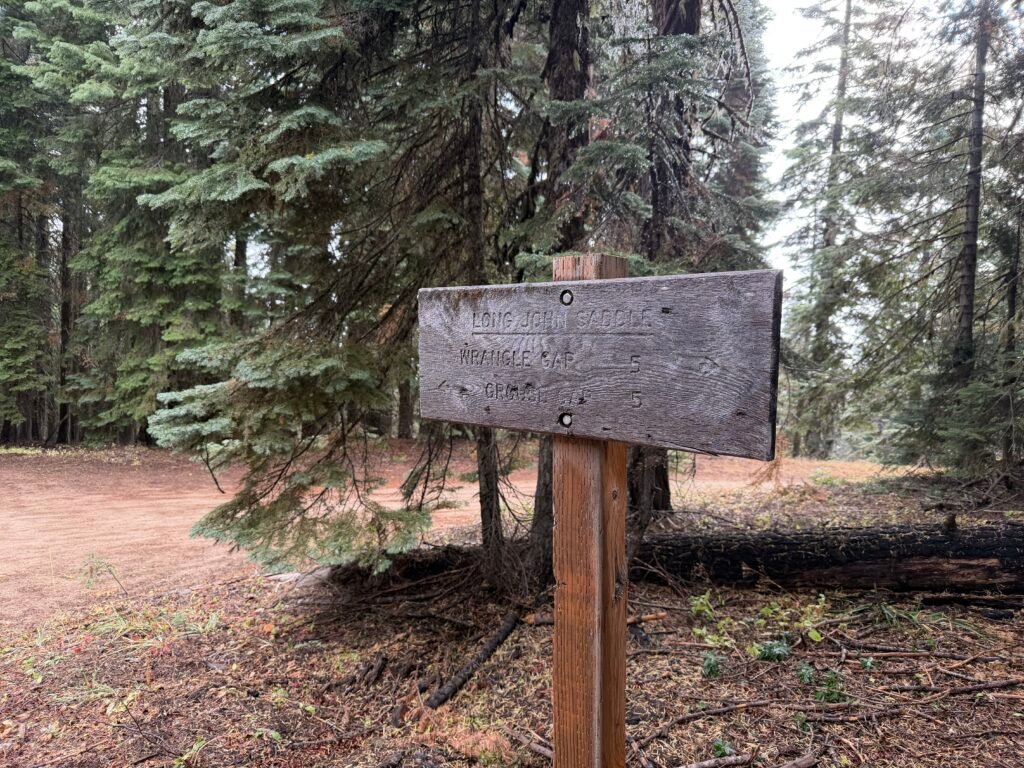
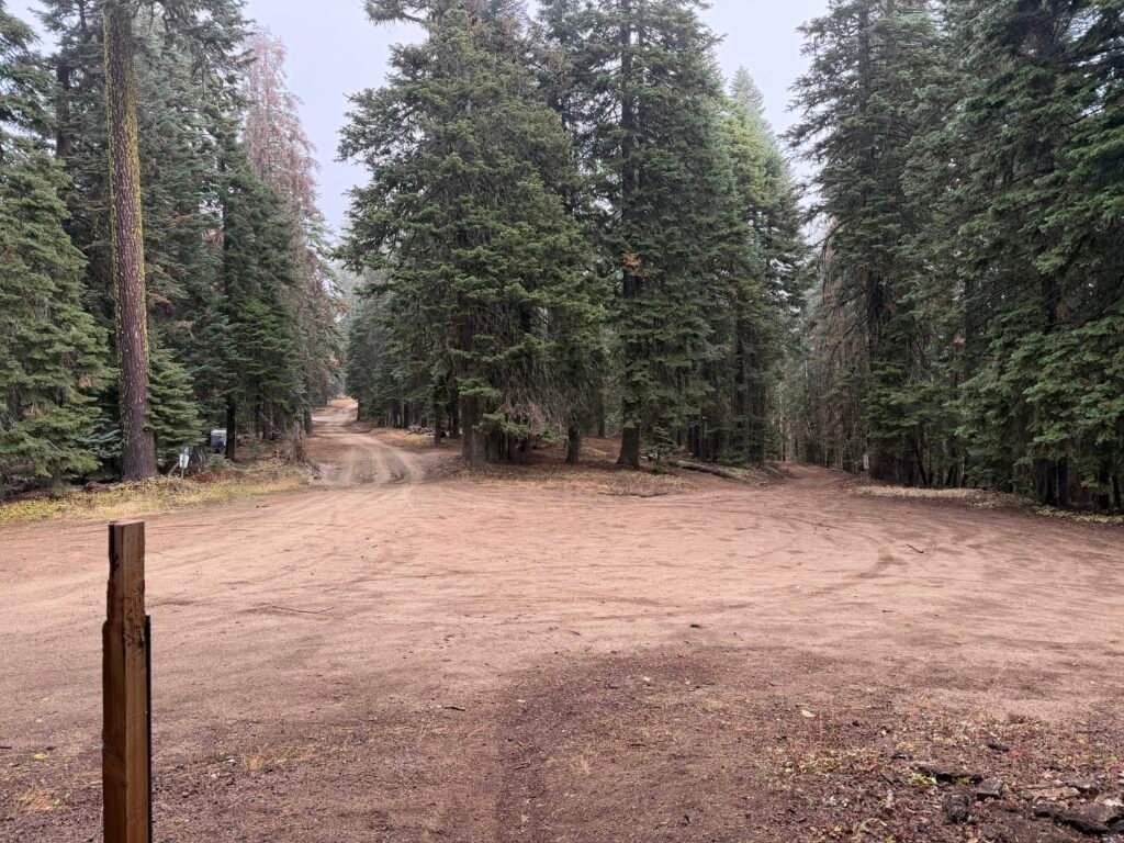
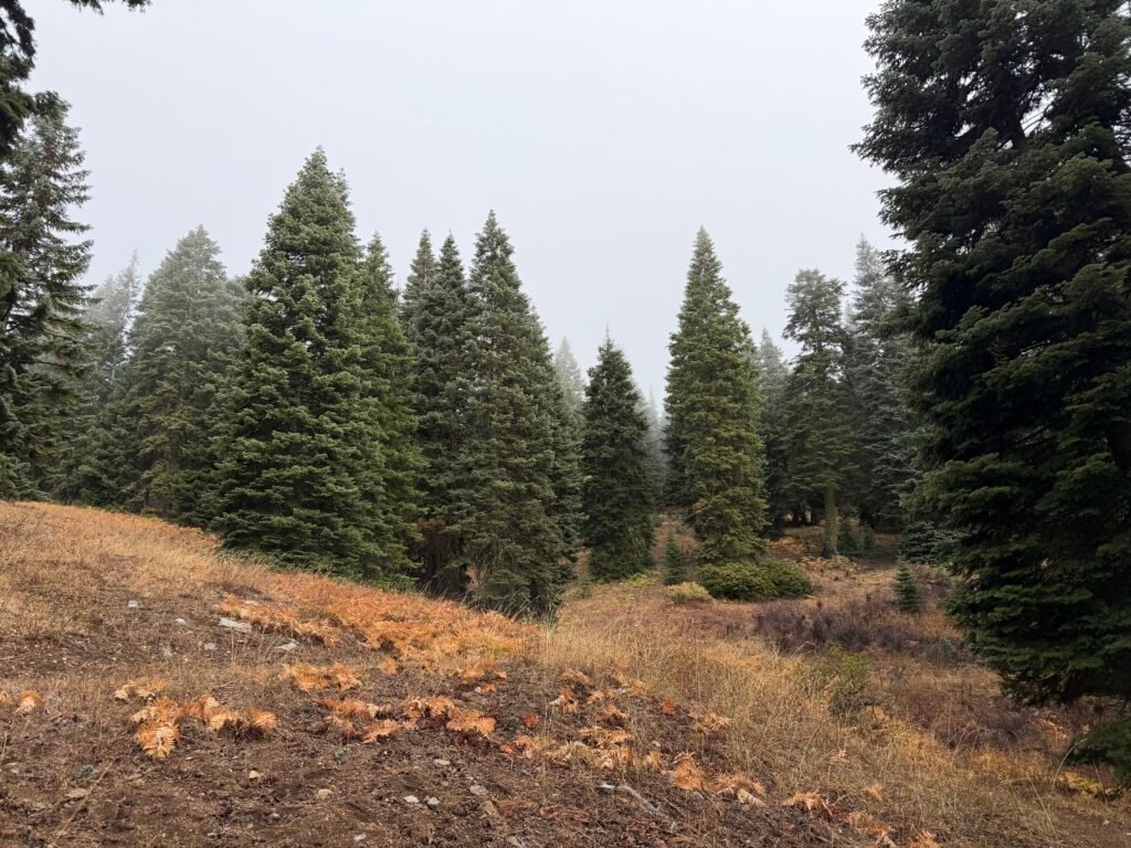
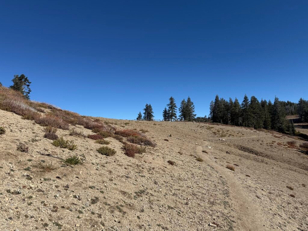
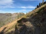
After finishing the steep climb, it was mostly downhill towards the end of PCT California section R / Oregon section A. But while ‘downhill’ was a nice change, there are times when downhills on the PCT can be steep, rocky, or full of switchbacks that slow you down. Or all three.
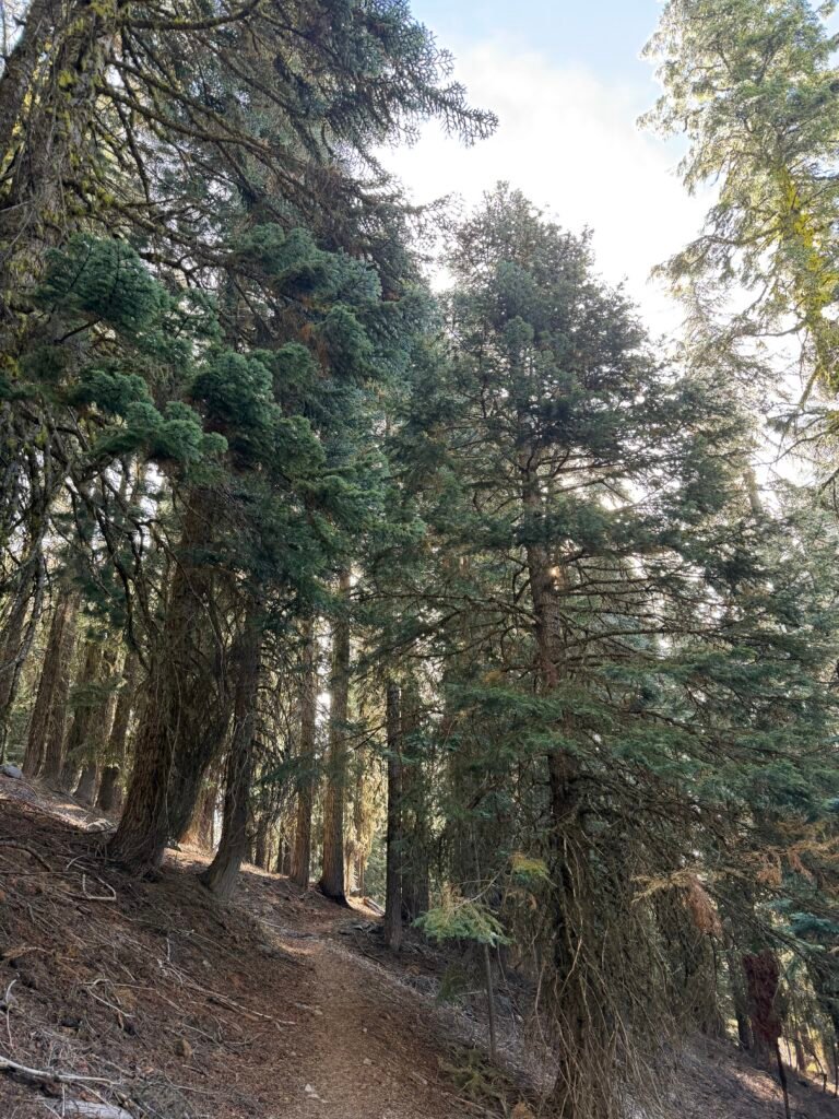
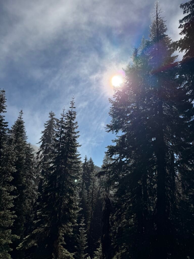
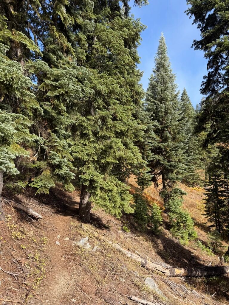
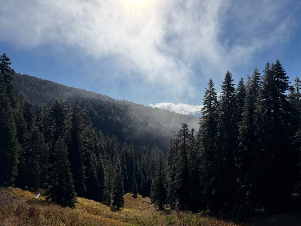
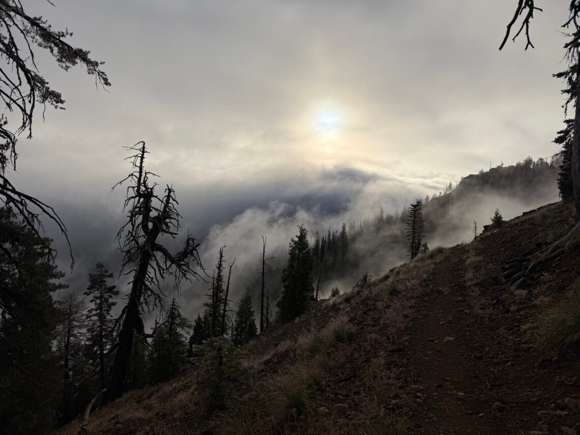
The skies started to clear mid-morning, but even the direct Sun rays couldn’t fully warm me up in the cold wind.
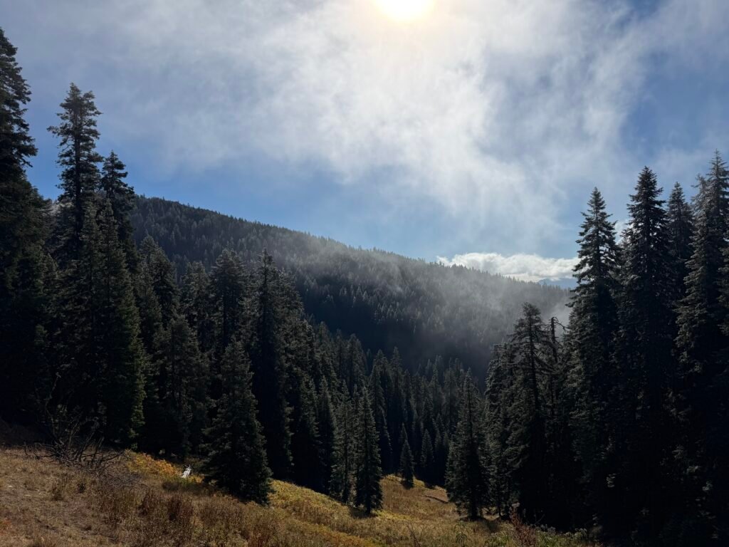
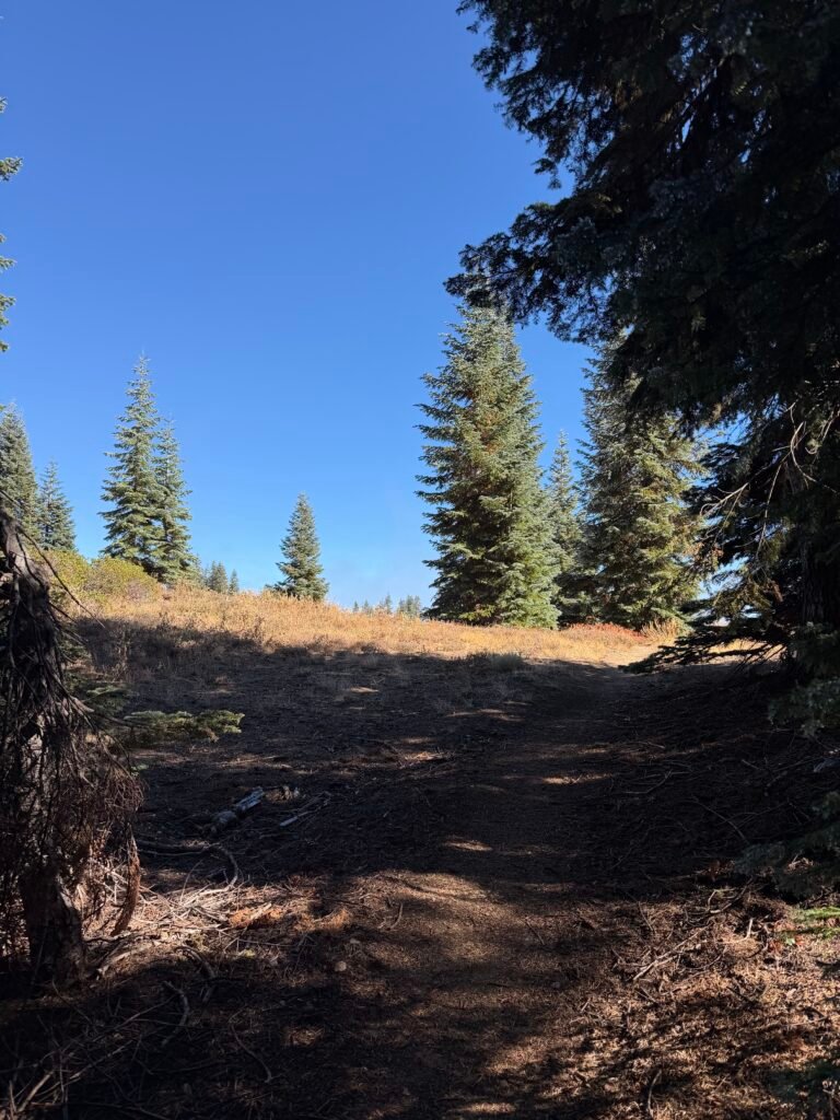
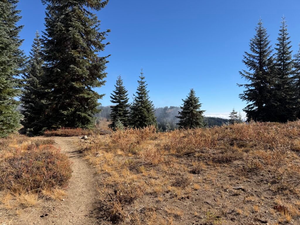
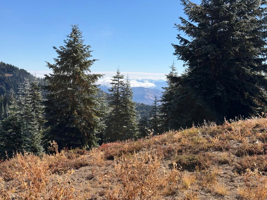
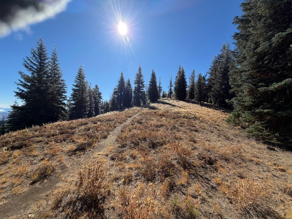
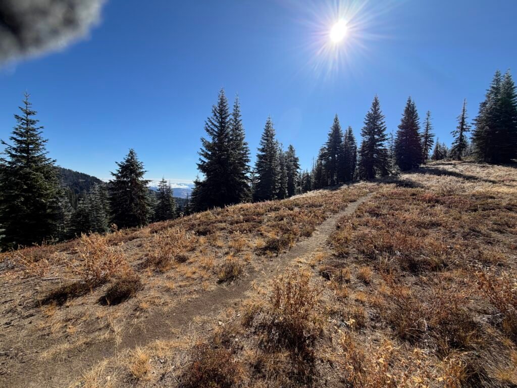
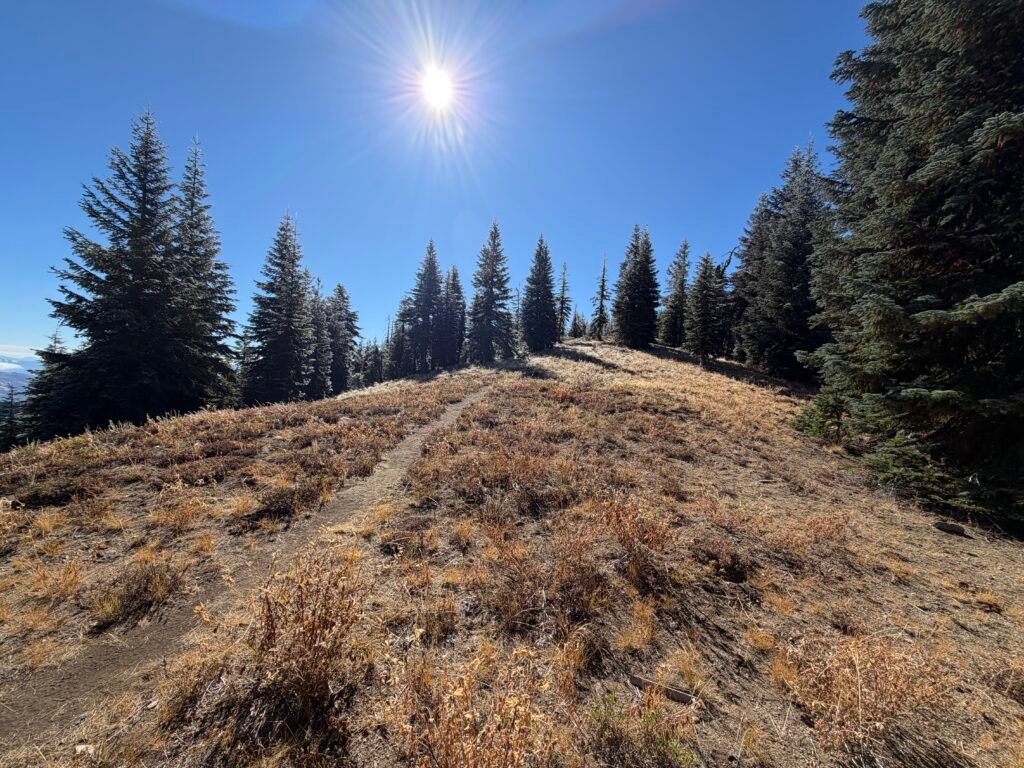
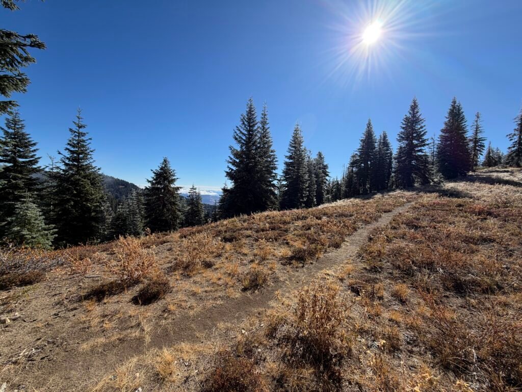
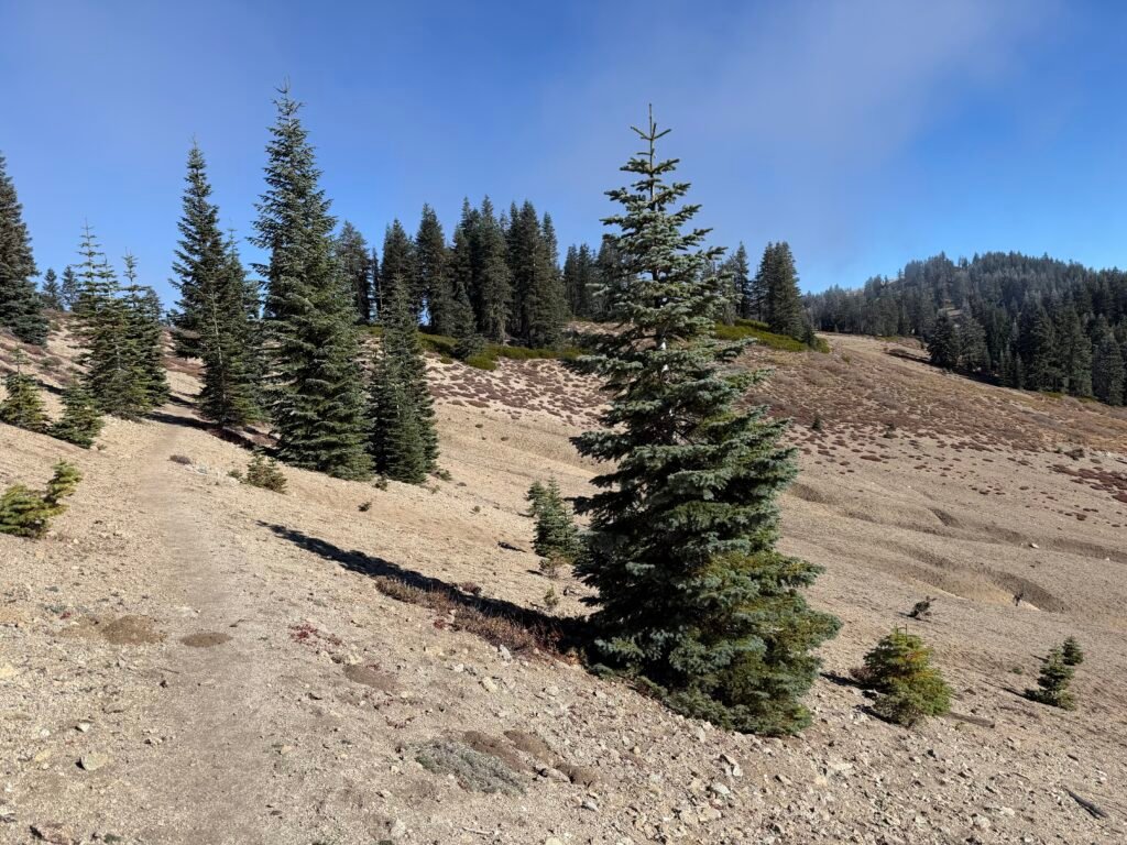
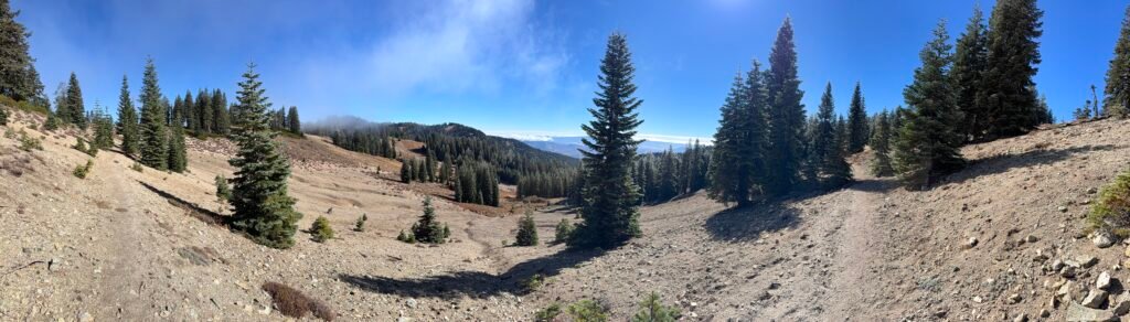
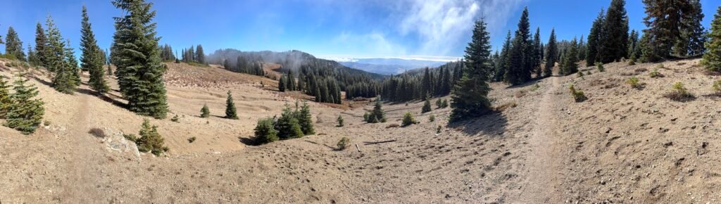
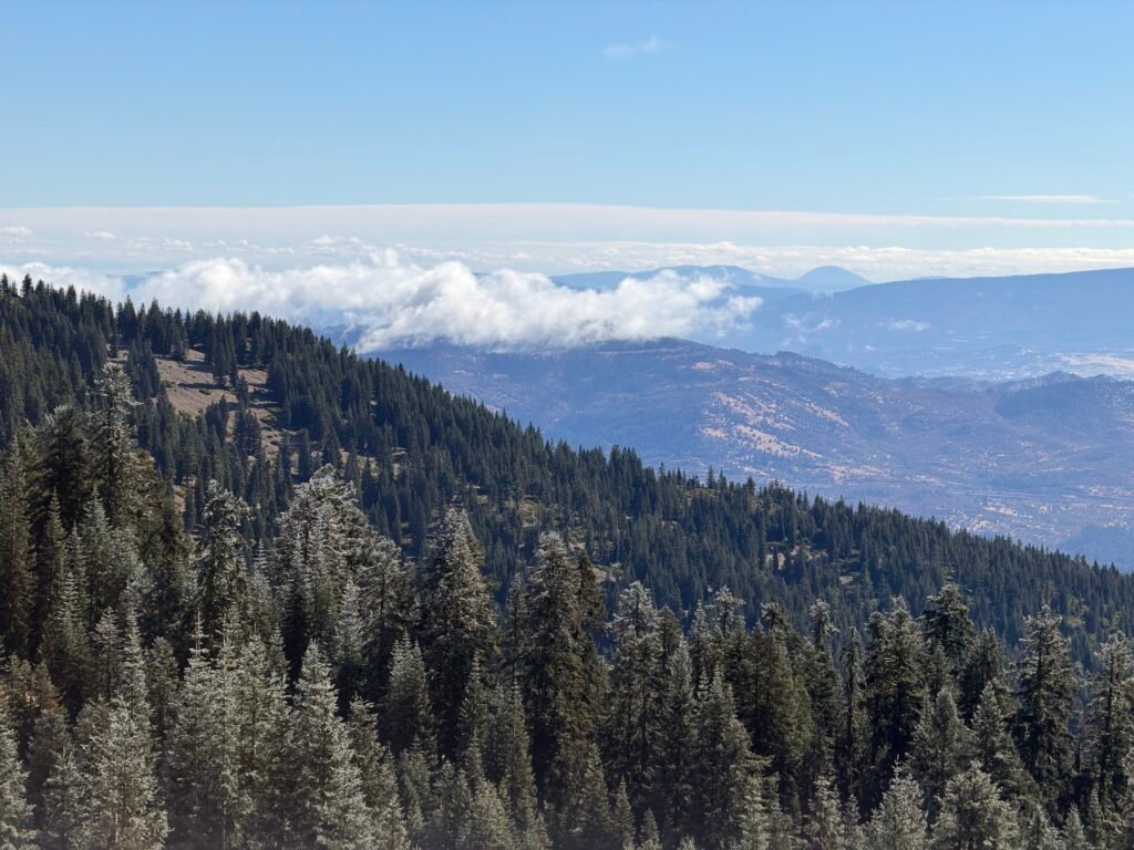
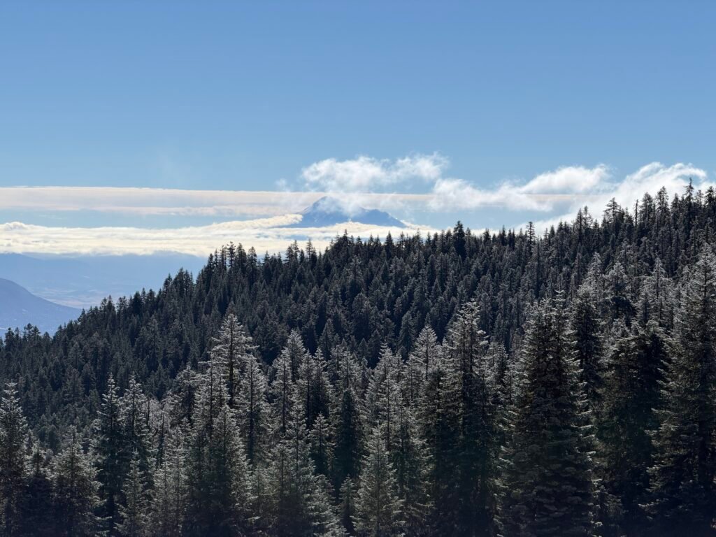
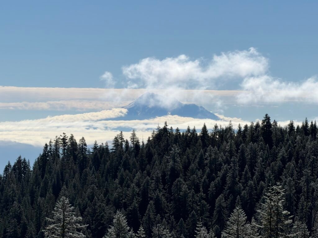
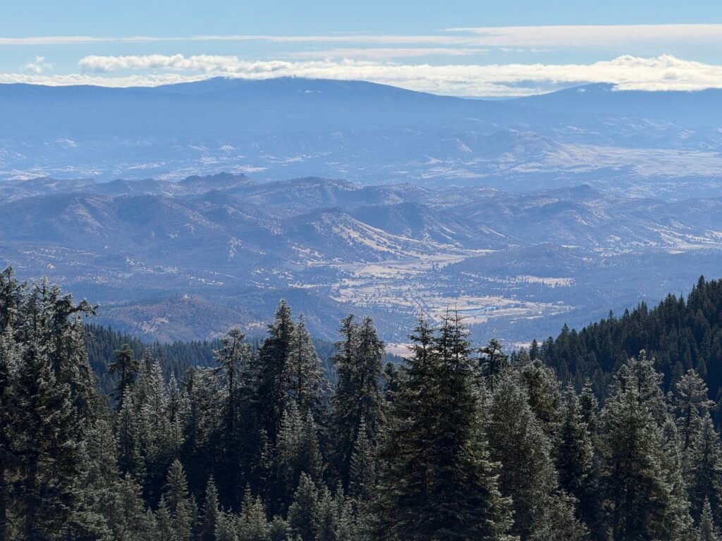
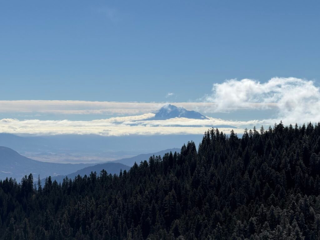
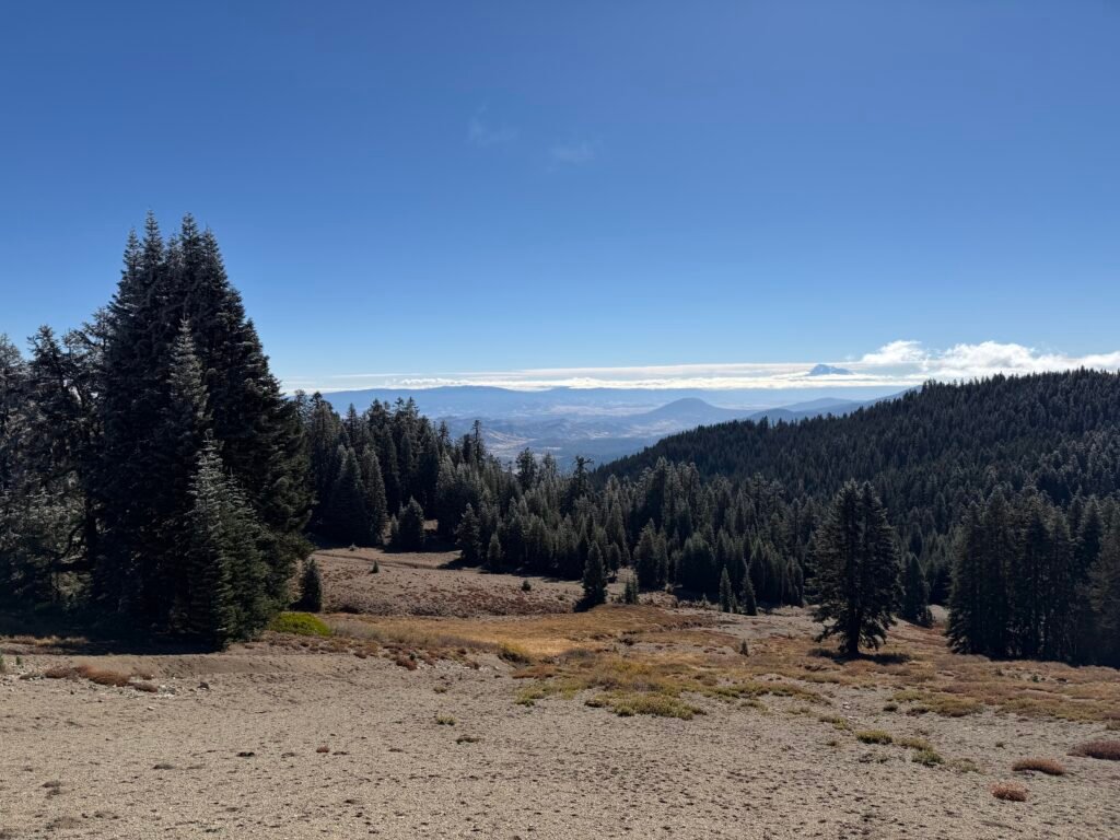
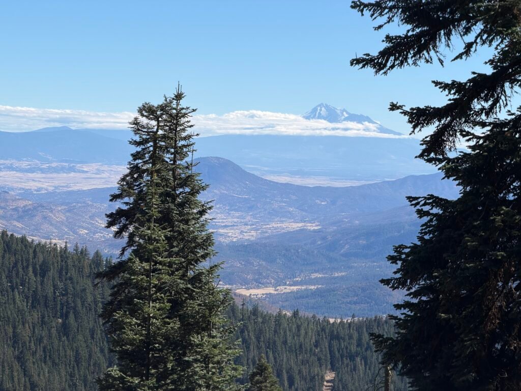
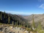
Since the trail once again faced south, I had Mount Shasta as a view for a good chunk of the day.
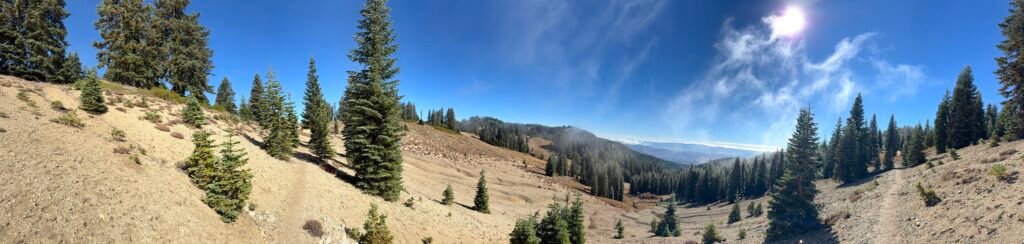
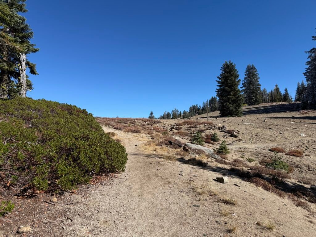
And then Christmas came early! 😀
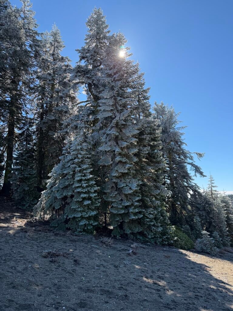
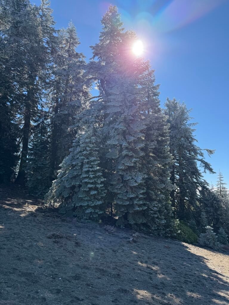
The north side of many trees were covered in frozen ice, not looking that different from flocking used on Christmas trees. When I noticed that the Sun was near the same level as the top of the trees, I went off trail and got an angle where the Sun was at the very top of the iced tree.
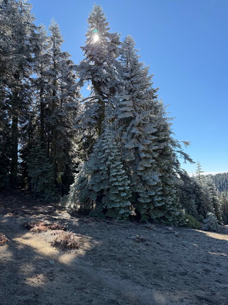
The effect was very much a Christmas tree. Just no presents underneath. 😀
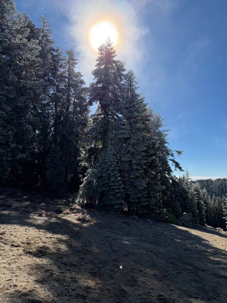
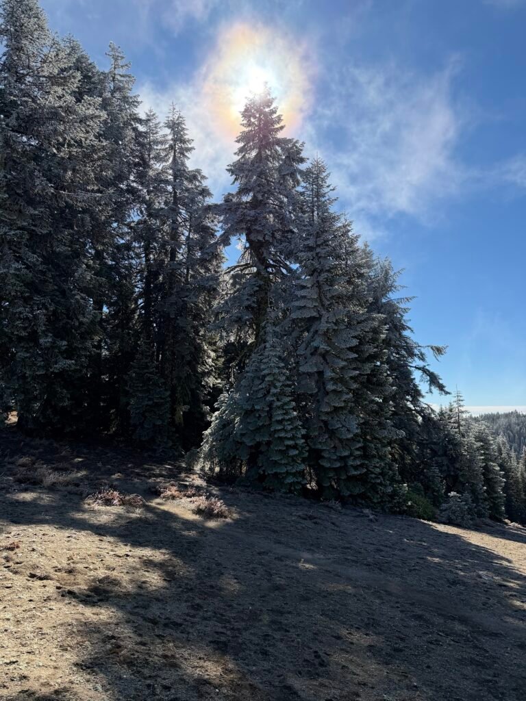
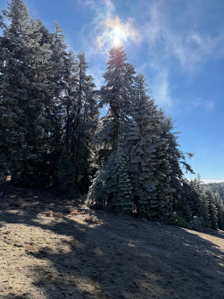
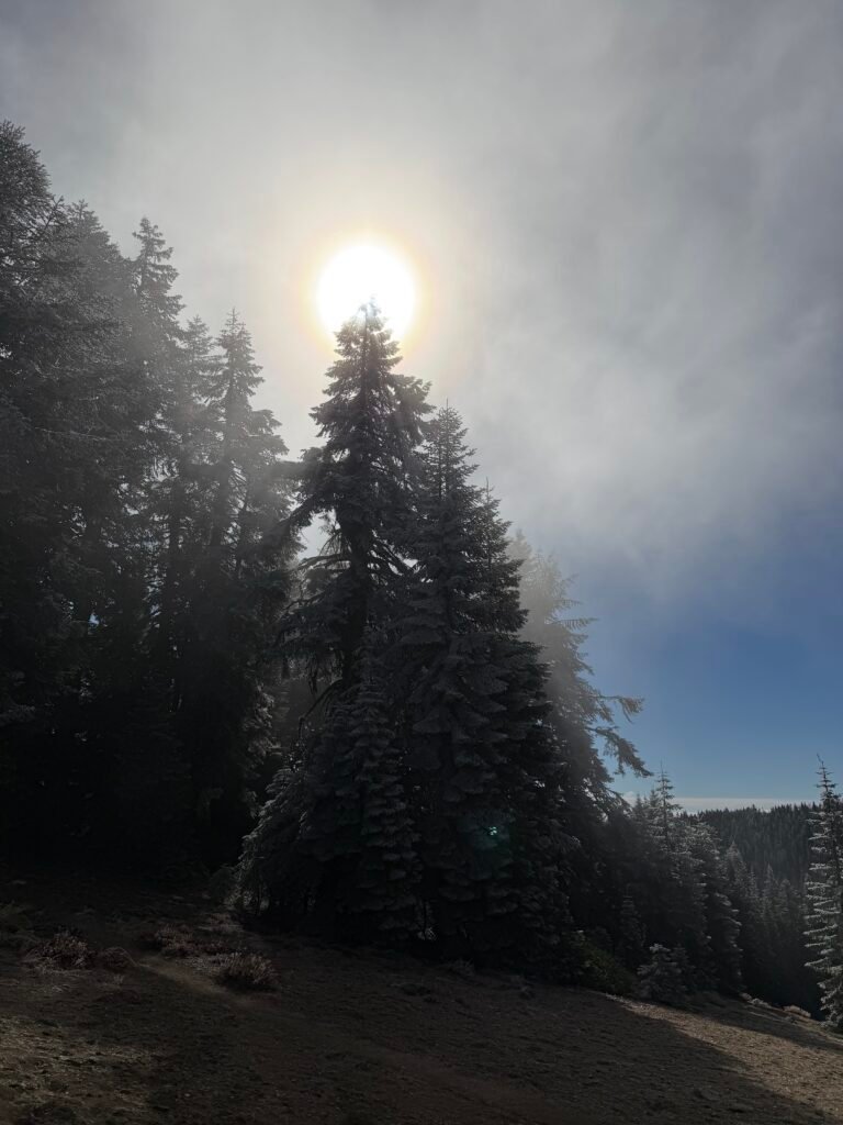
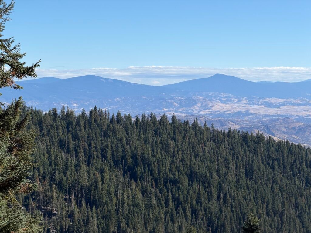
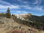
The trail ran across the southern side of Mount Ashland, but I never really could see the top of the mountain from the trail.
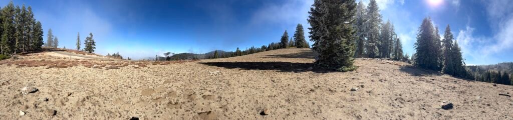
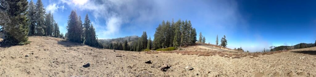
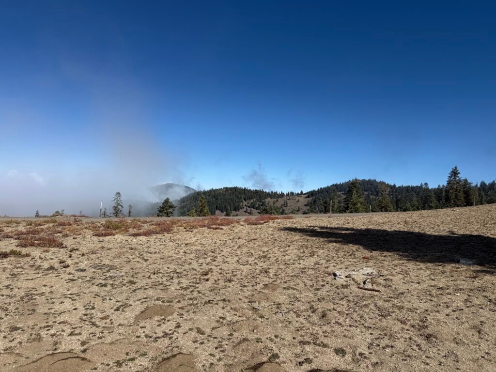
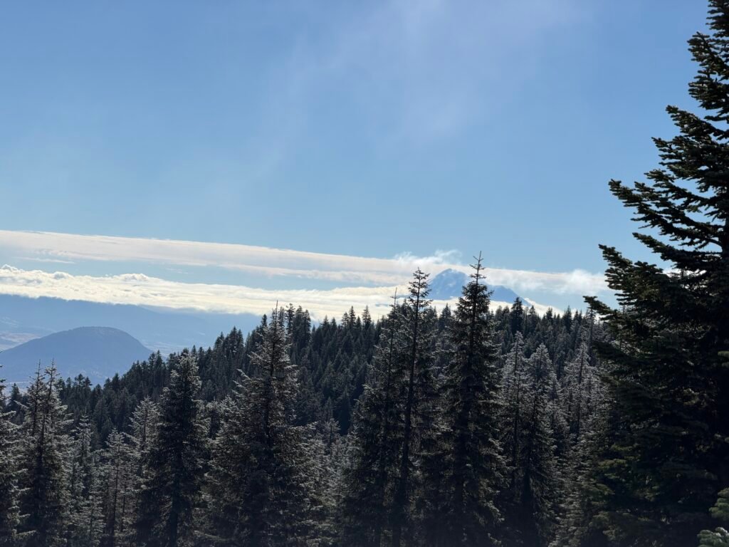
But I did see the top of Mount Shasta, once again.
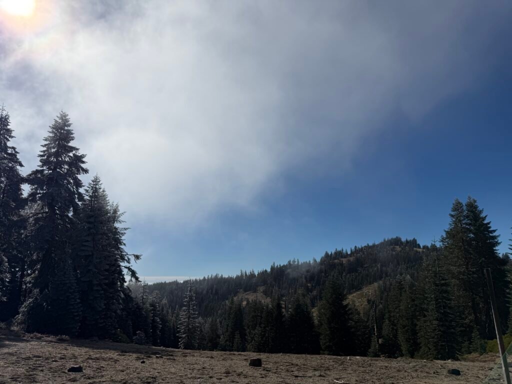
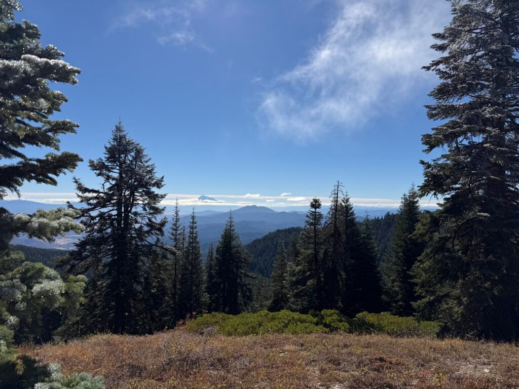
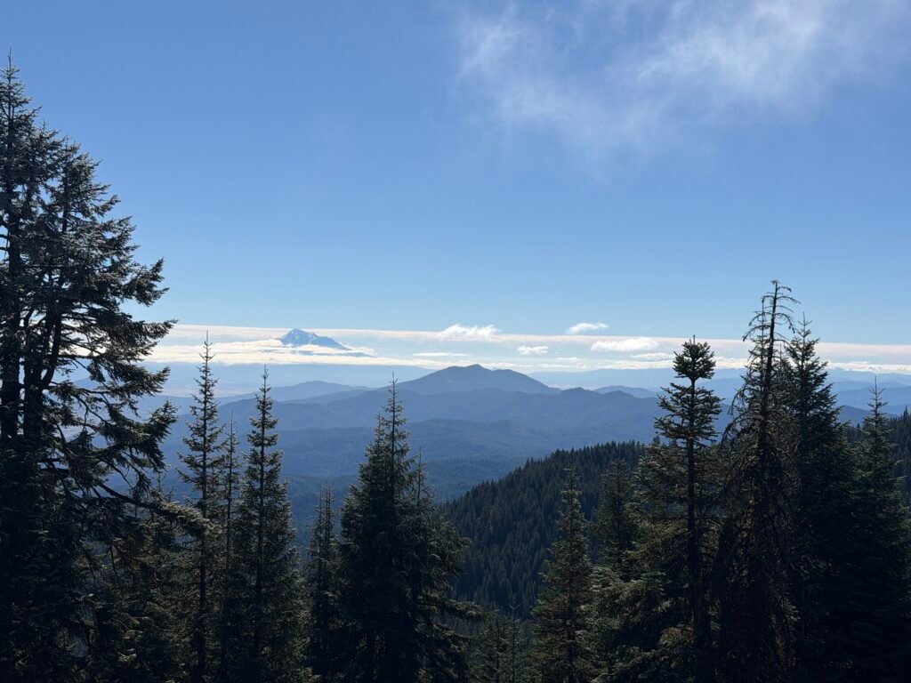
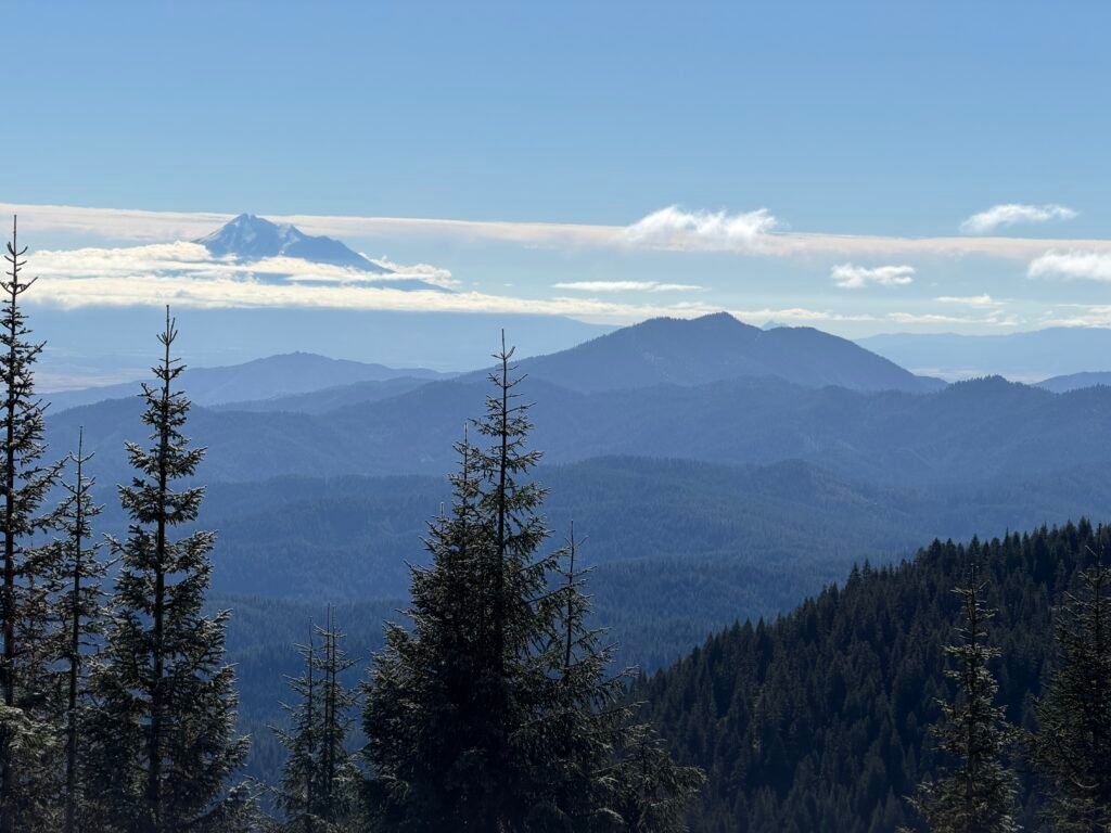
While I had seen a number of hunters since Seiad Valley and one through-hiker trying to fill in the gaps he had missed on the trail that year, by this point on the trail I was encountering many day hikers enjoying the clear skies and freezing weather.
I had to resist the urge to get a ride back to civilization from one of them. Despite the cold, I was making pretty good time descending towards the end of this segment.
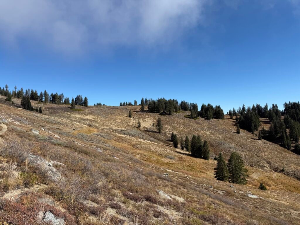
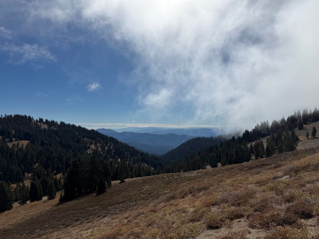
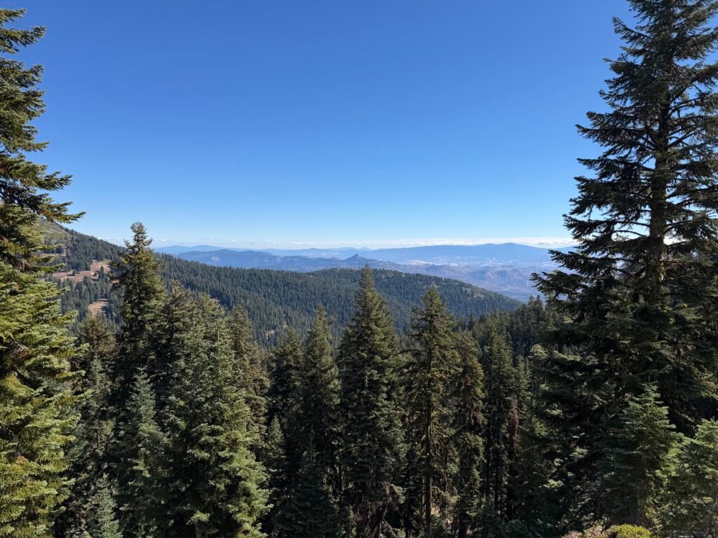
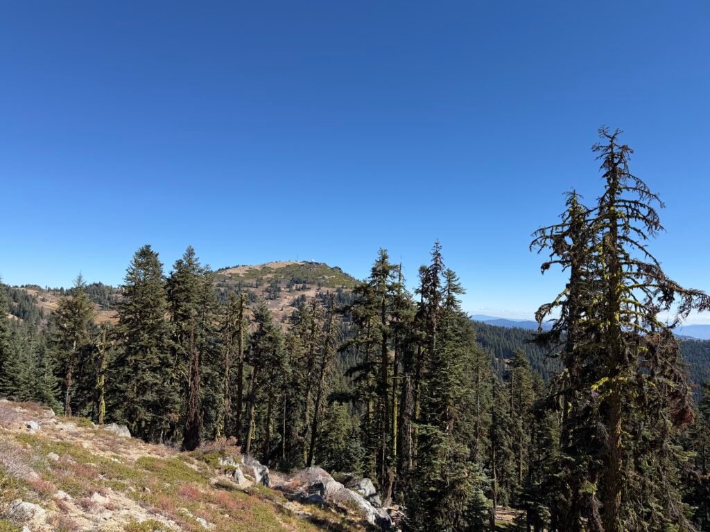
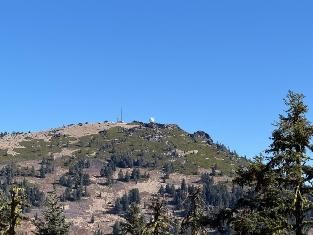
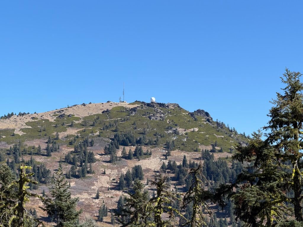
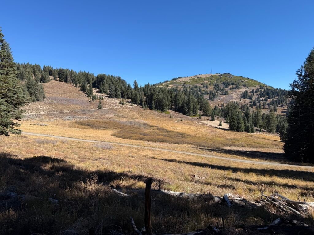
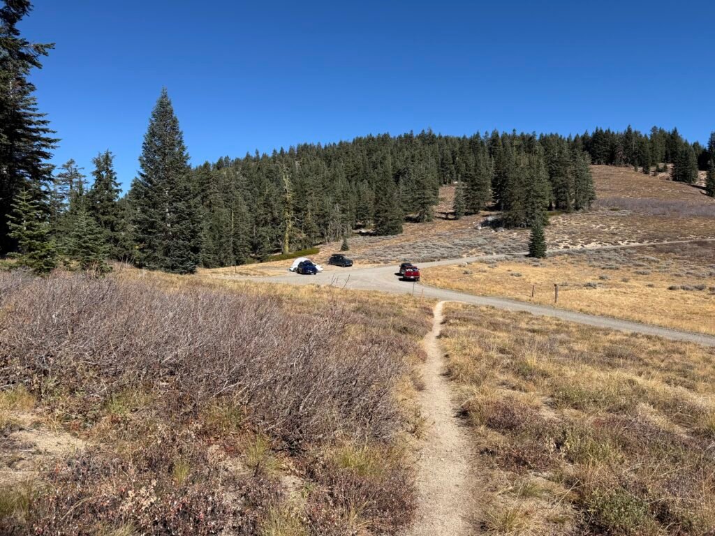
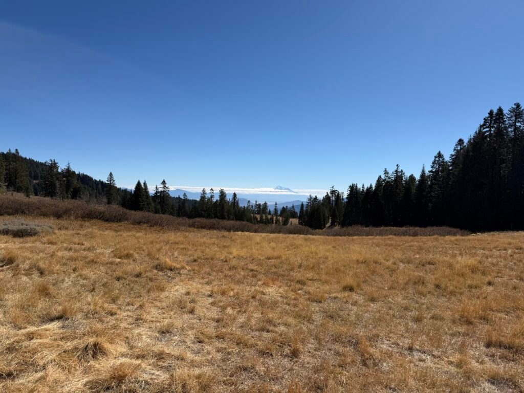
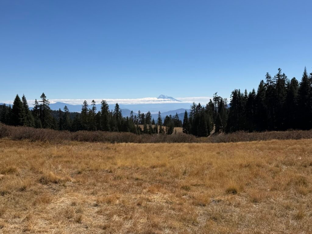
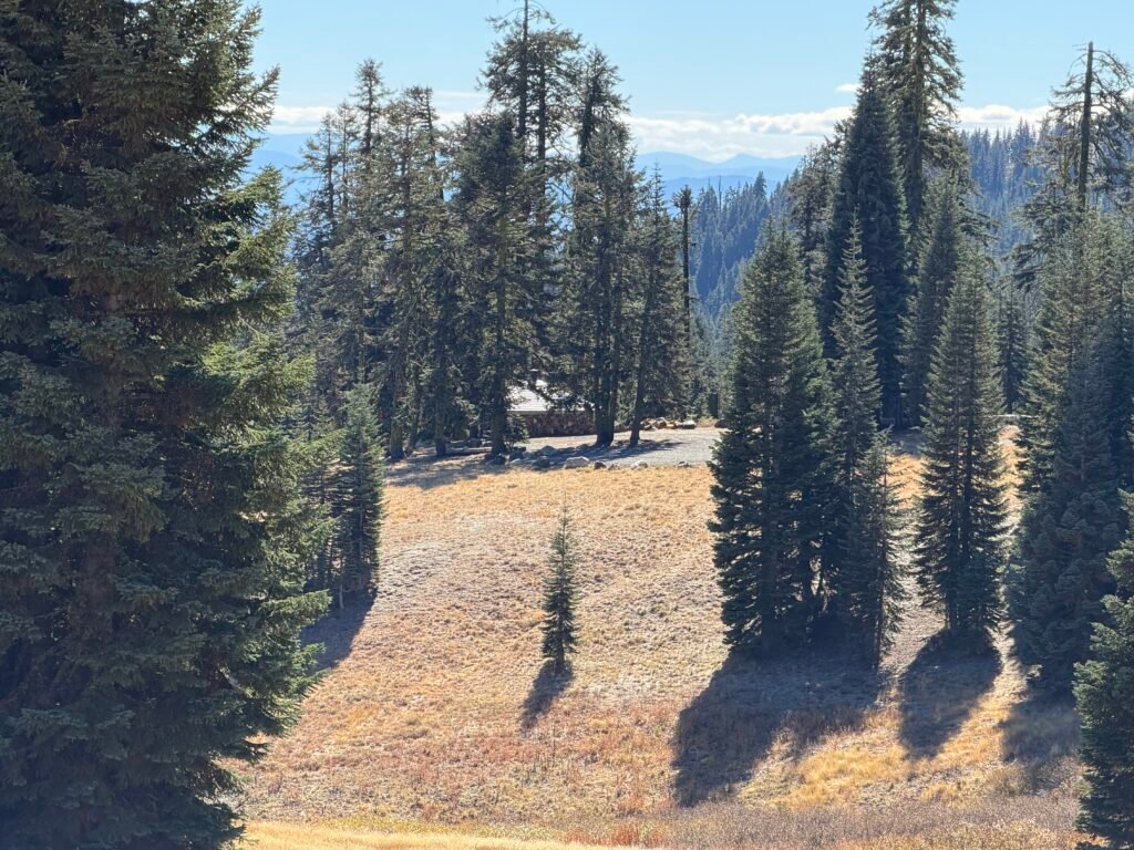
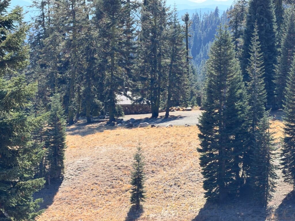
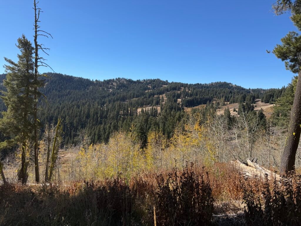
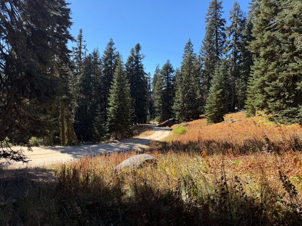
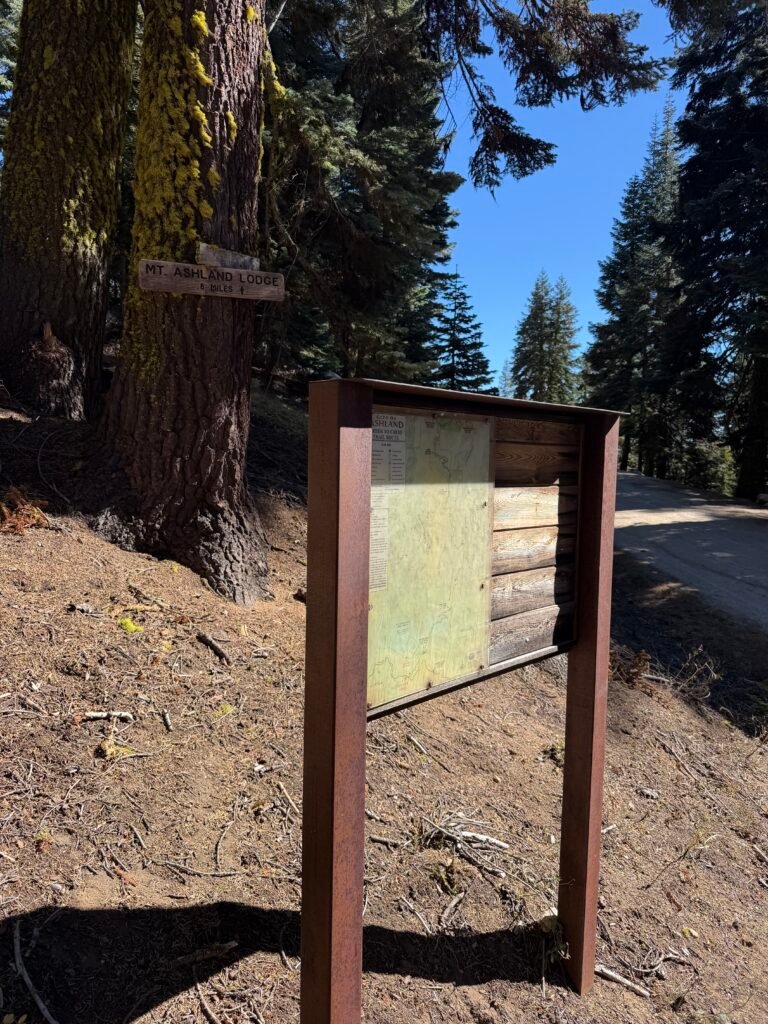
More temptation. 😀
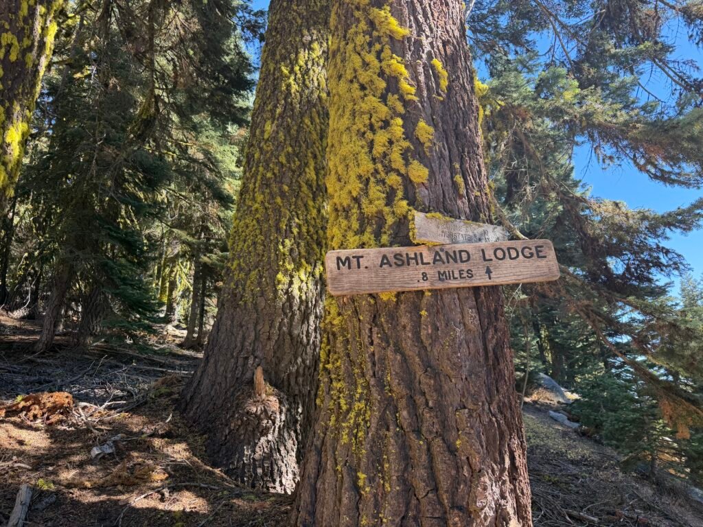
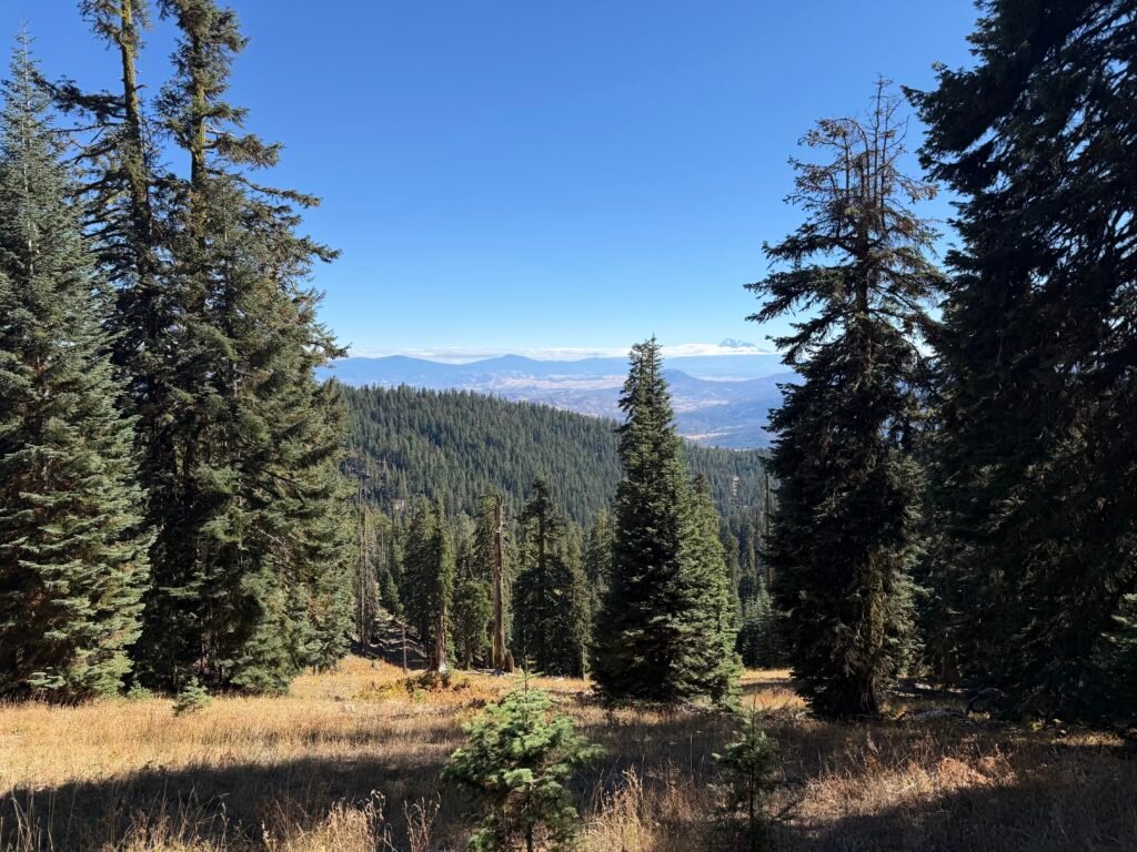
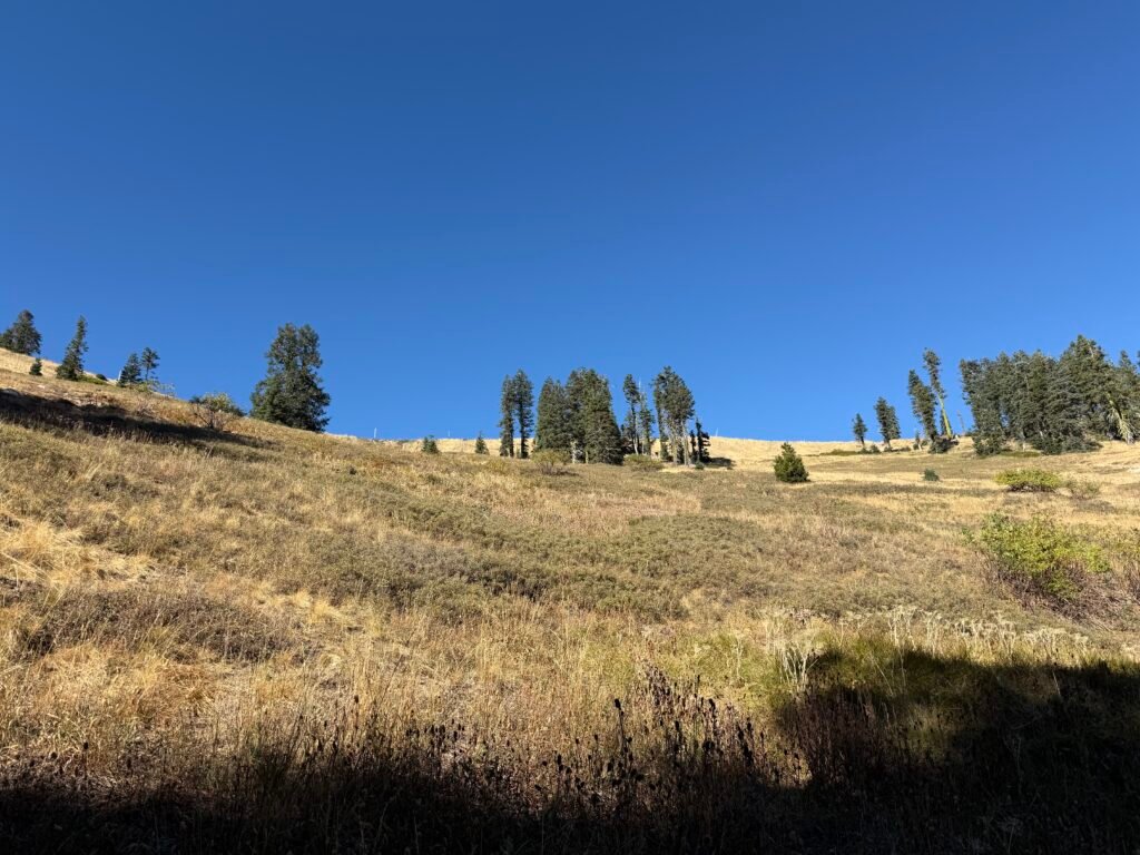
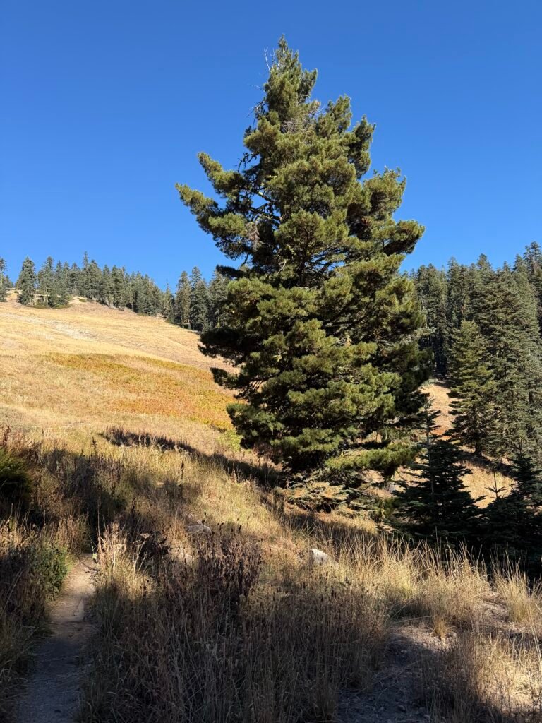
Getting a hitch from this major road crossing the trail was so… tempting.
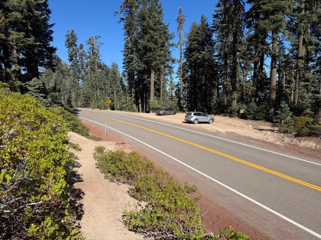
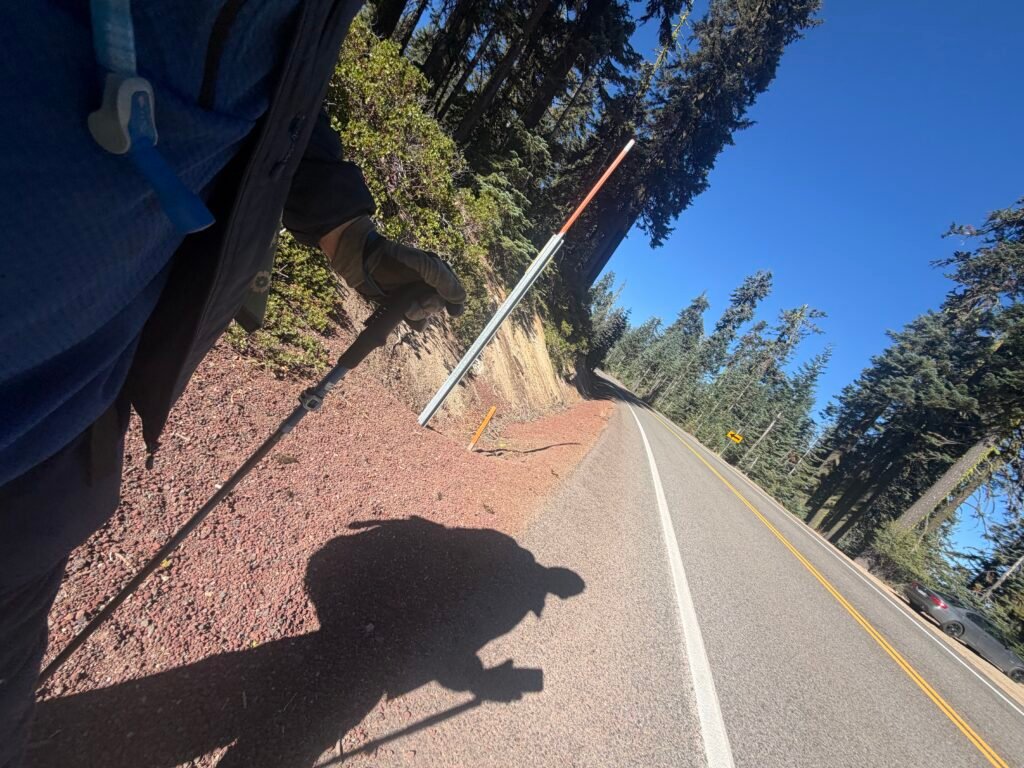
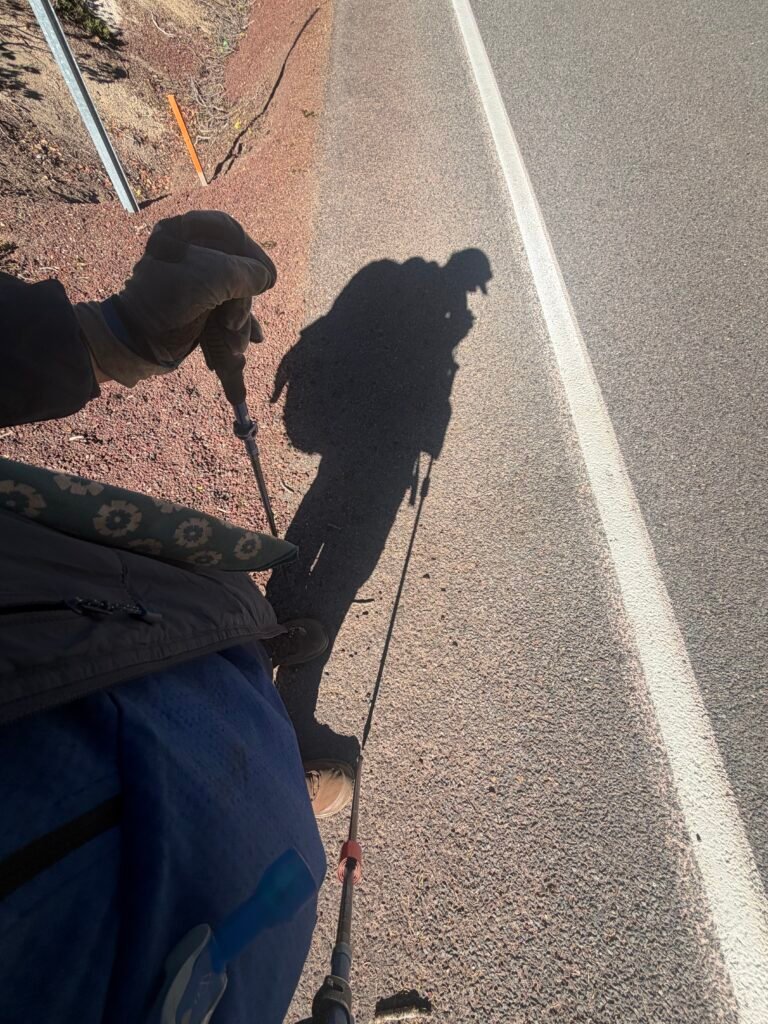
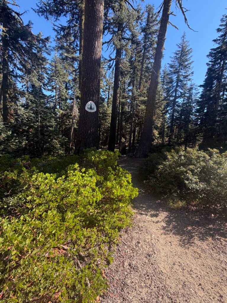
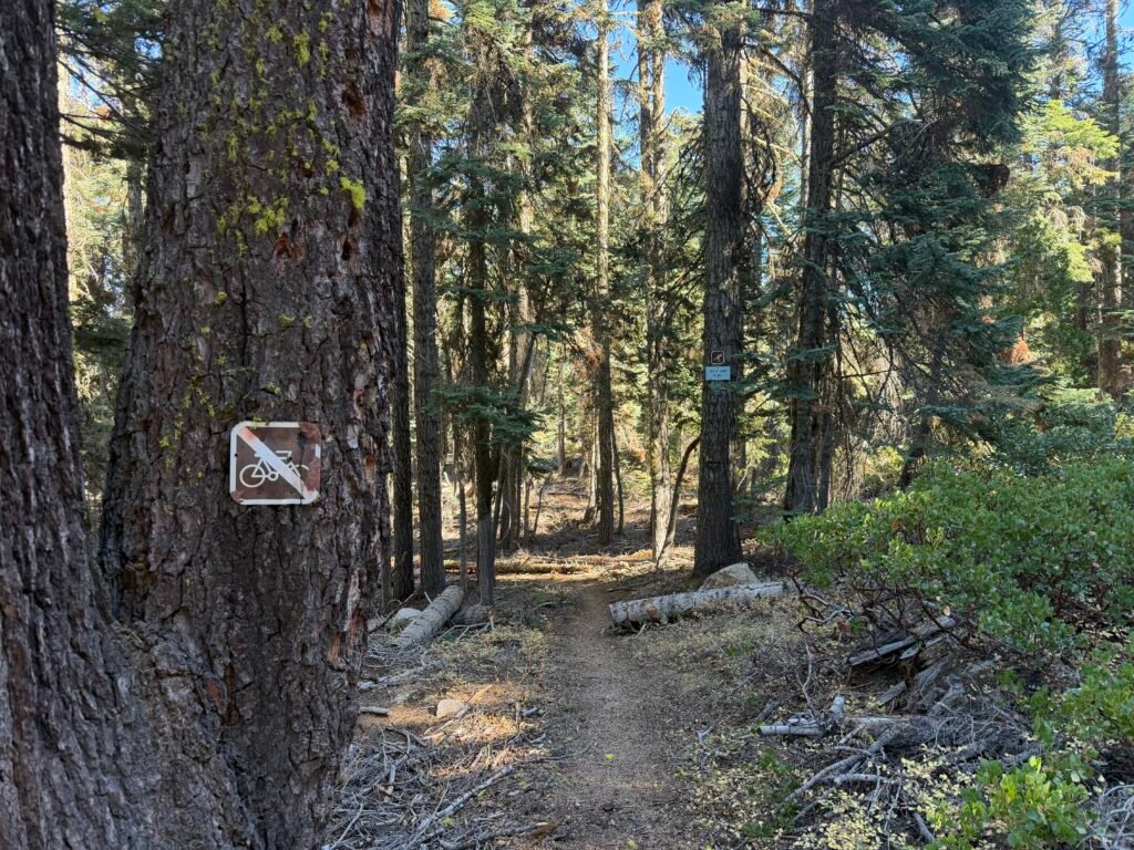
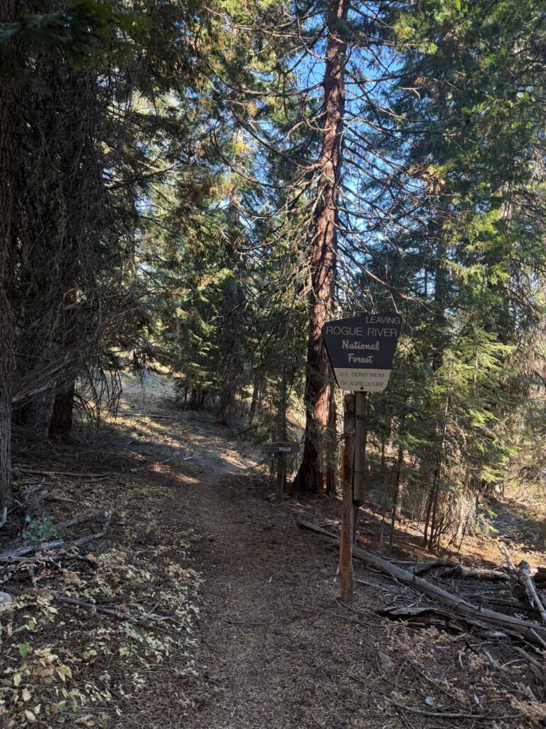
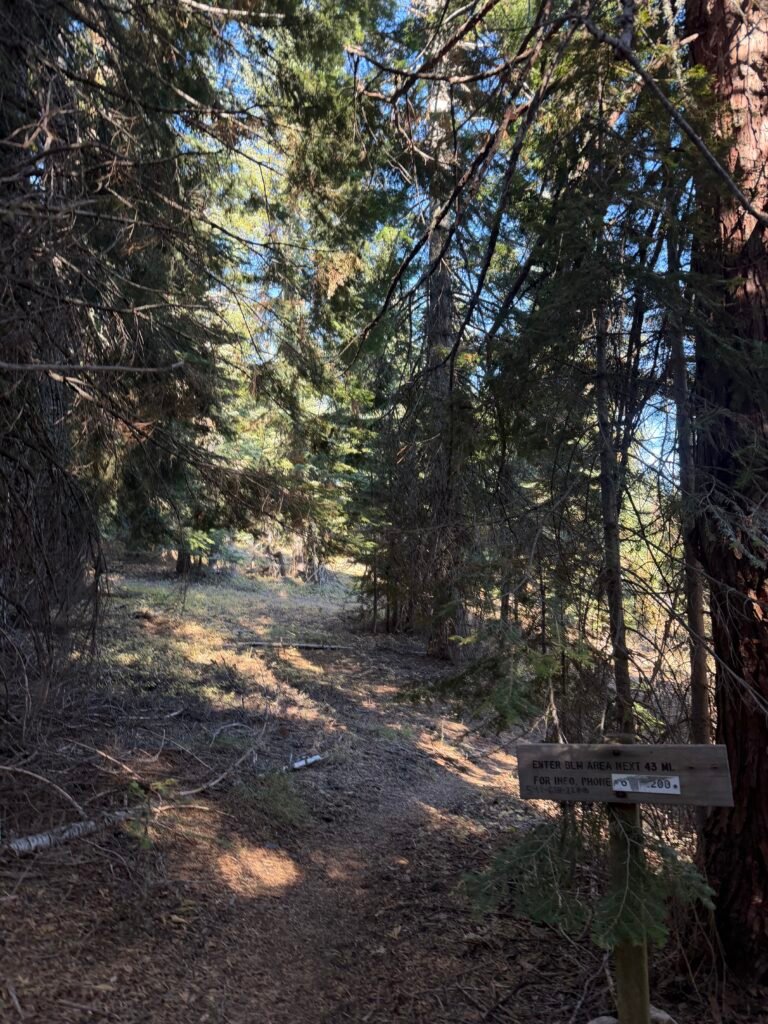
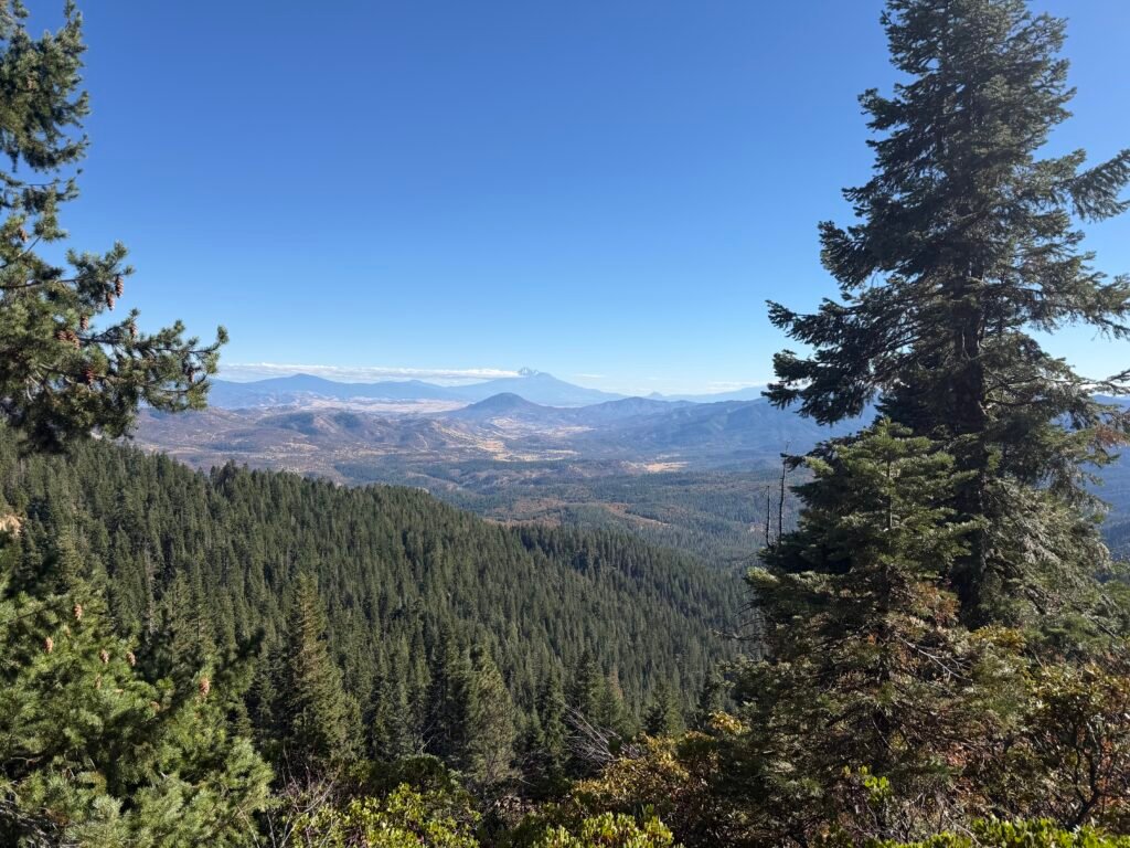
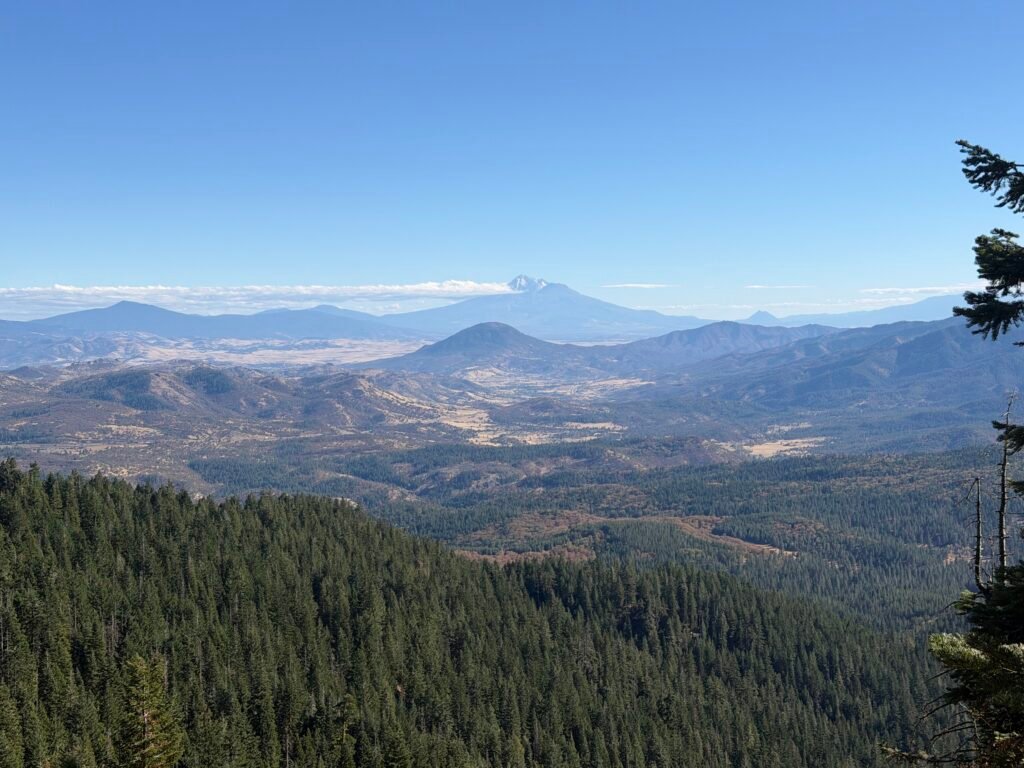
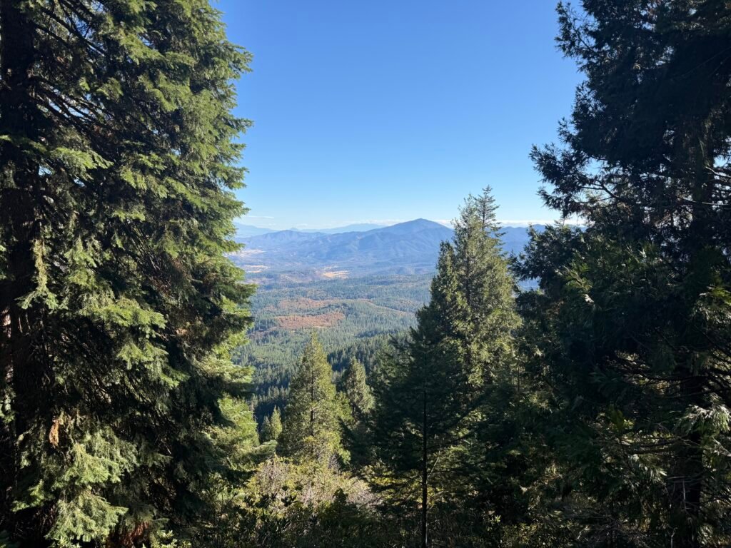
I passed a road crossing that had the last mention of trail campsites before the trail hit Interstate-5. Doesn’t mean there might not be any more before then, just that this was the last one documented on the Far Out app.
But when I looked at the time (about 4pm in the afternoon) and the remaining mileage (3.5 miles), I decided that I could finish the hike that day. It’d be close to sunset, but doable. The descent down the trail turned out to be a pretty easy hike and the elevation profile showed that the steepest parts of the trail were behind me.
As a bonus, I could get a hotel room at the Callahan Mountain Lodge to celebrate my completing this grand trek of California (and a bit of Oregon).
So, I kept going on the trail.
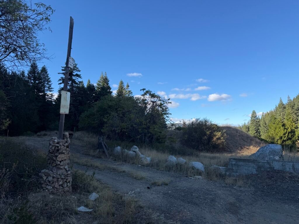
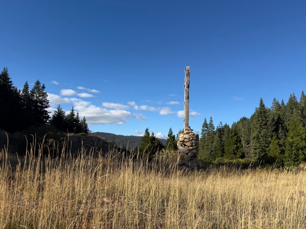
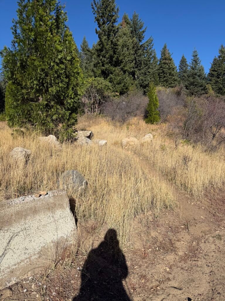
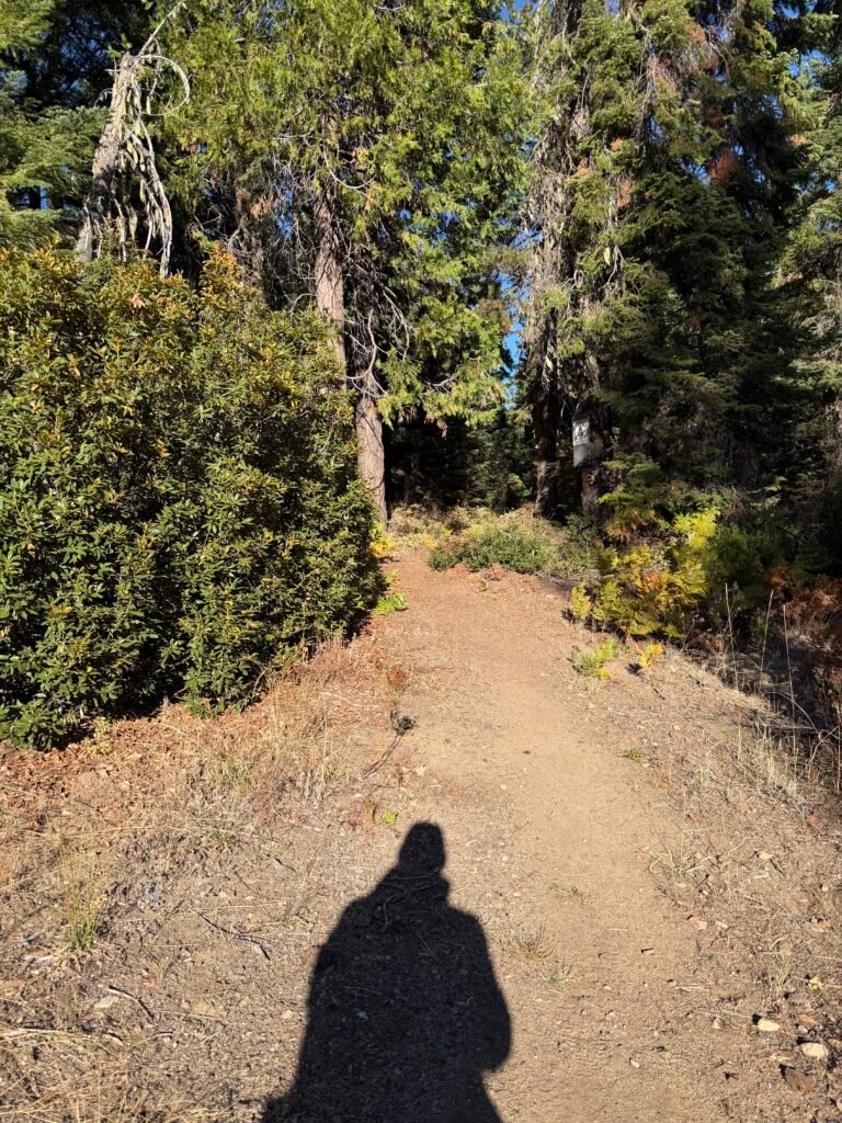
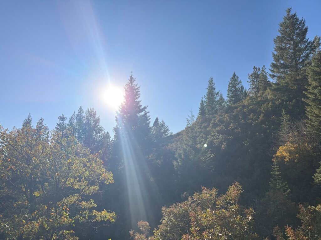
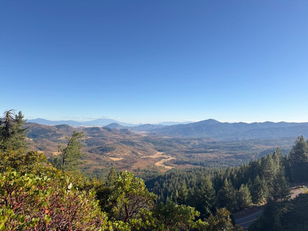
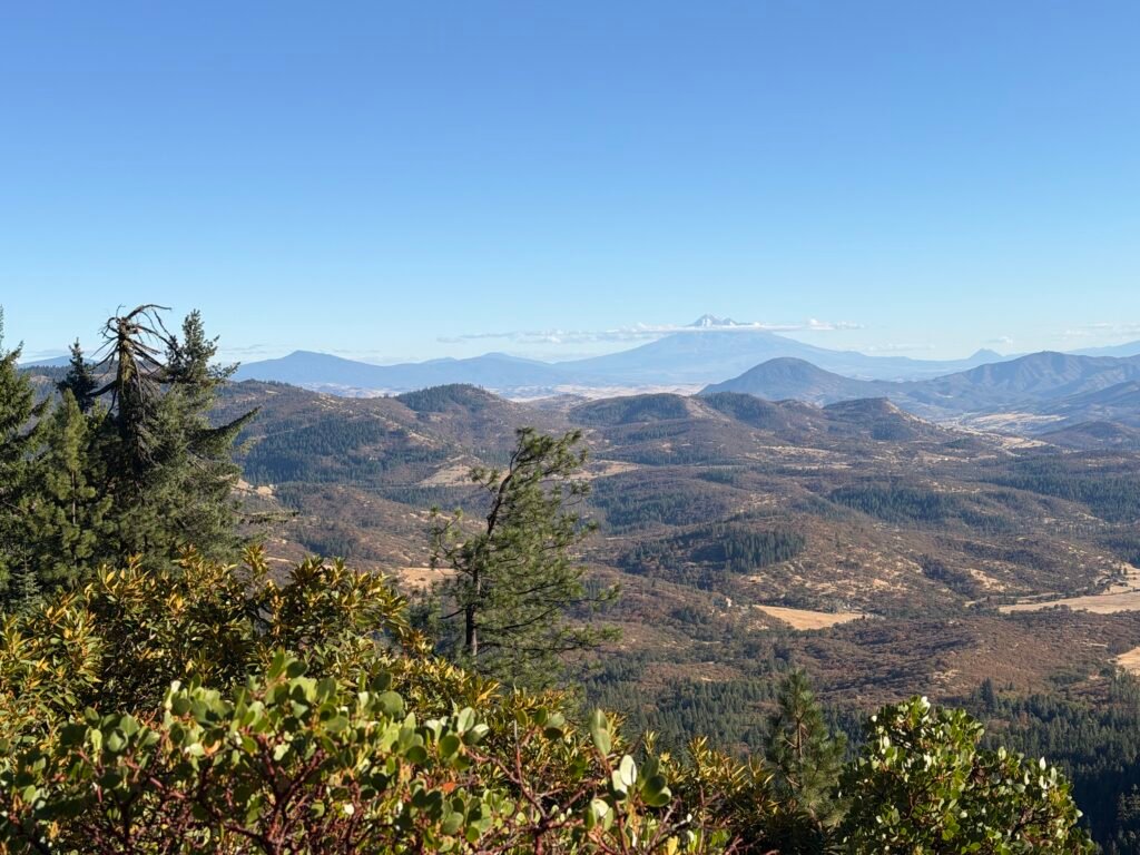
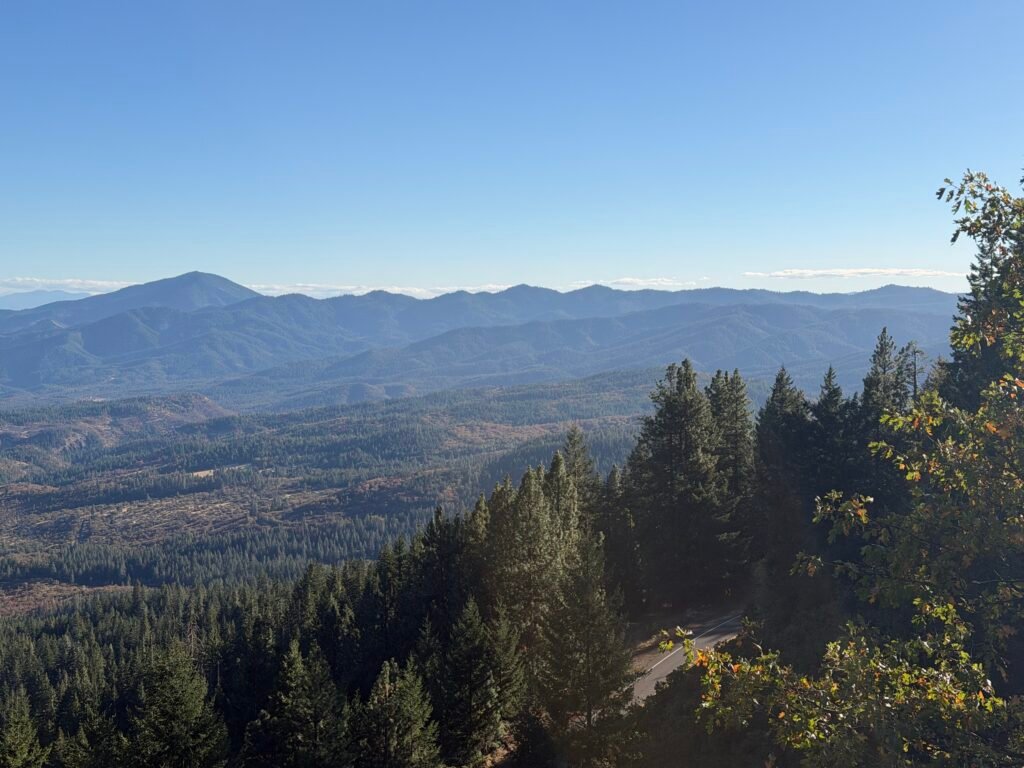
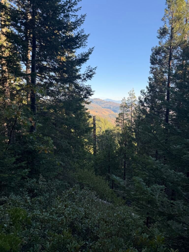
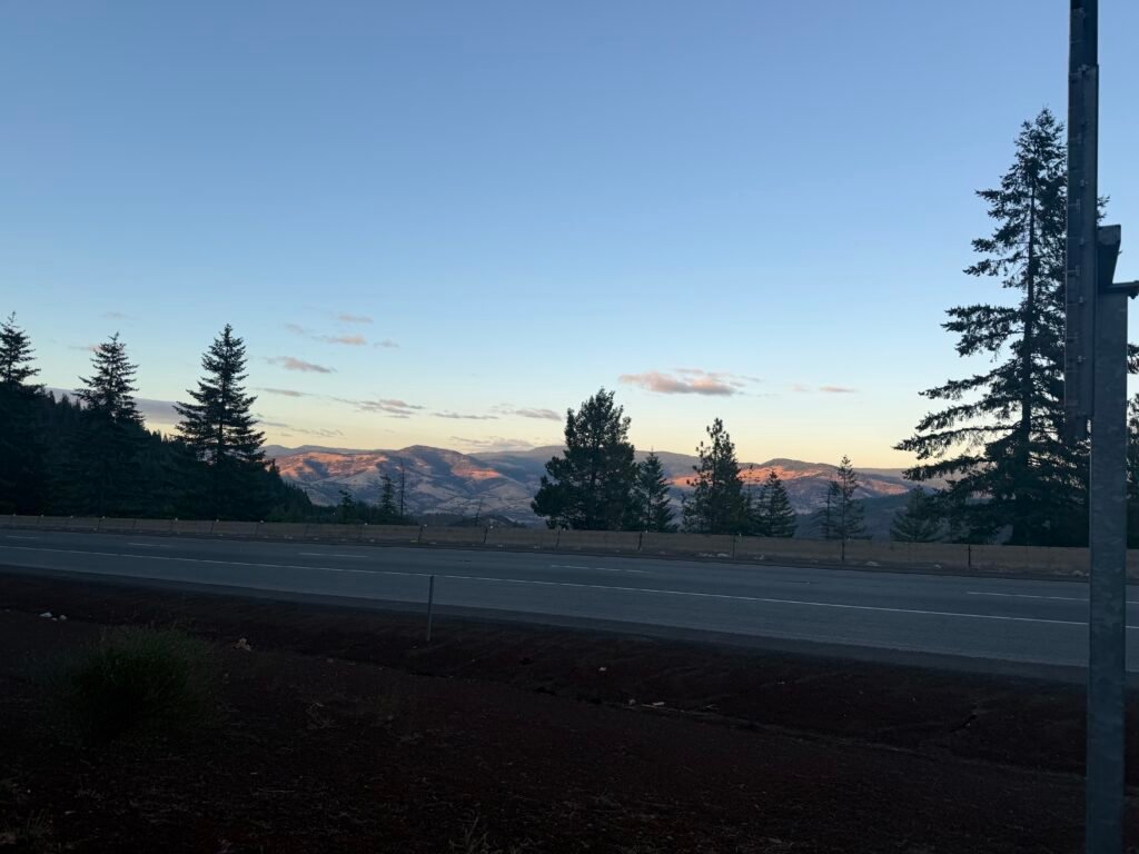
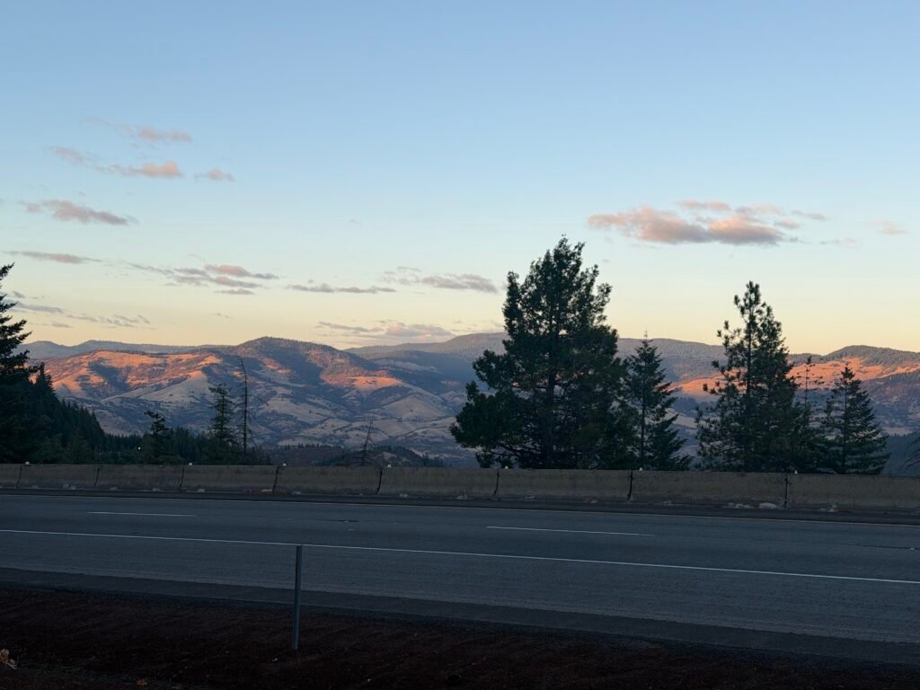
I heard the freeway long before I could see it from the trail.
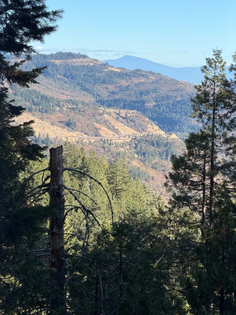
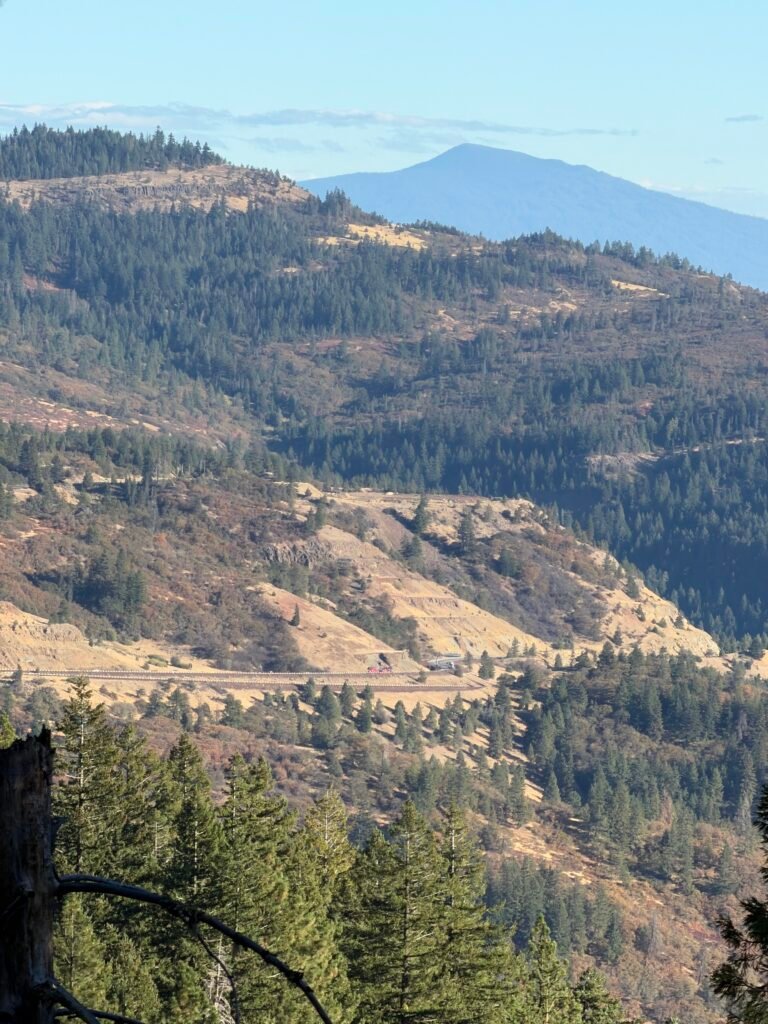
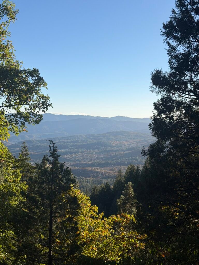
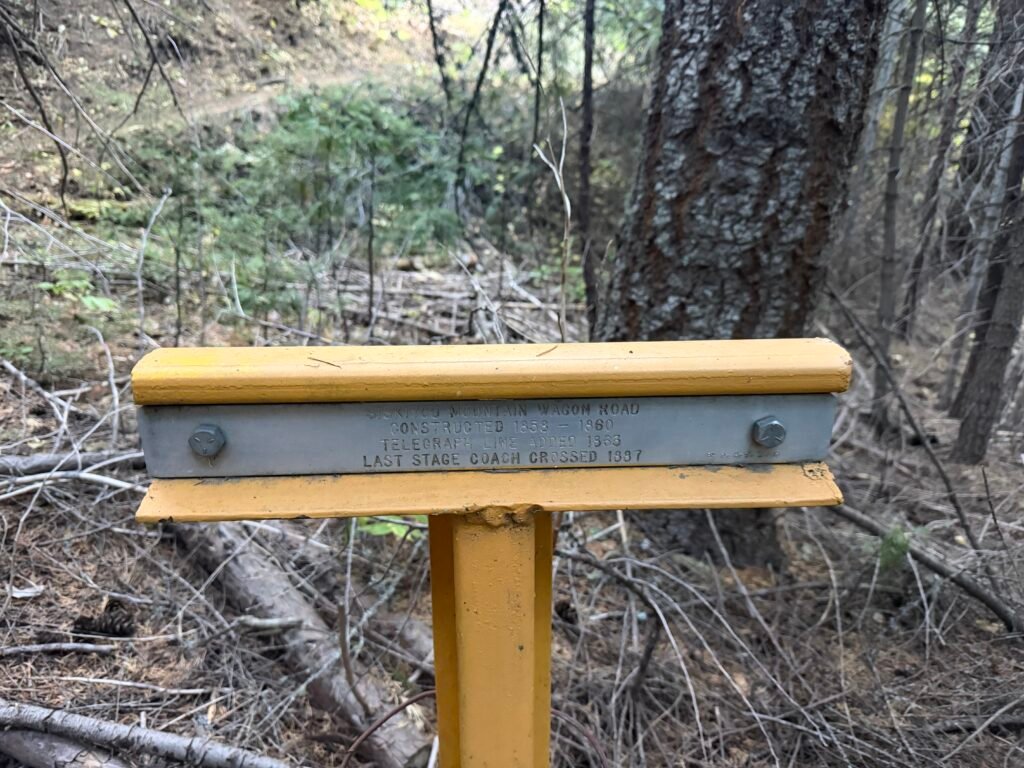
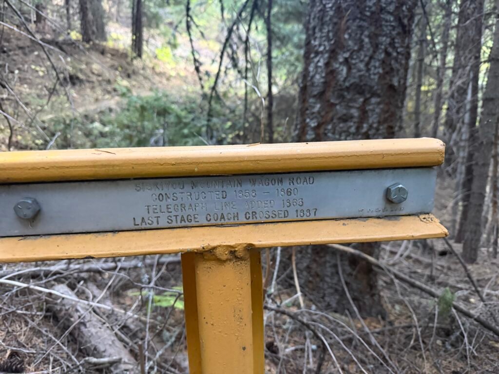
The strong winds had scattered some of the Fall leaves.
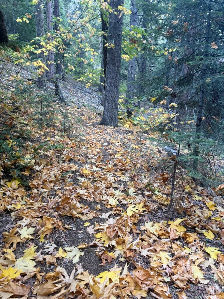
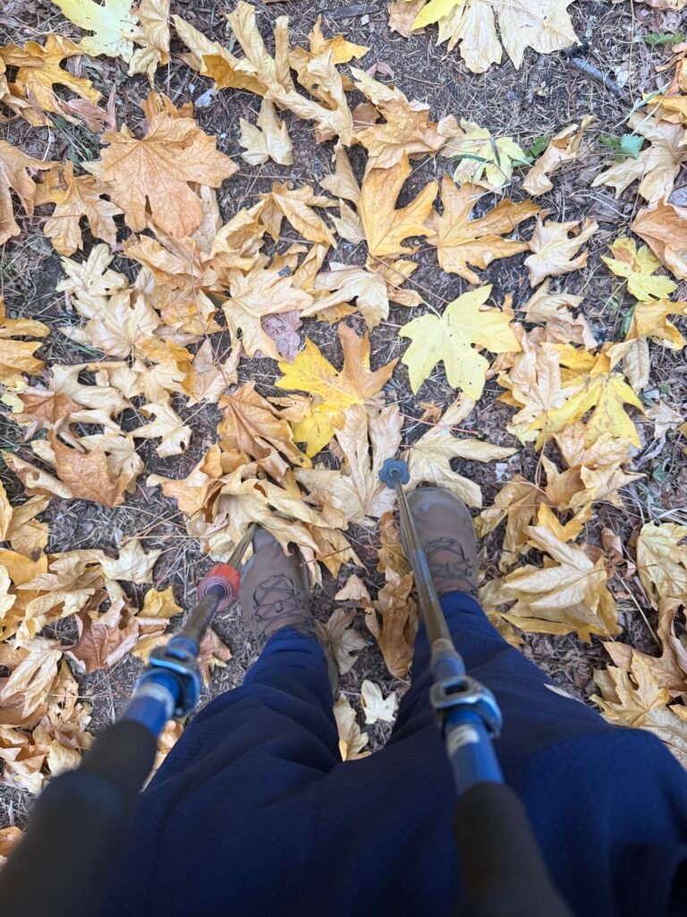
Even at the end of the day I was still wearing my two layers of pants to keep warm, although I had taken my puffy jacket off and was just wearing my wind jacket over my fleece shirt. This had been the day with the coldest weather all year.
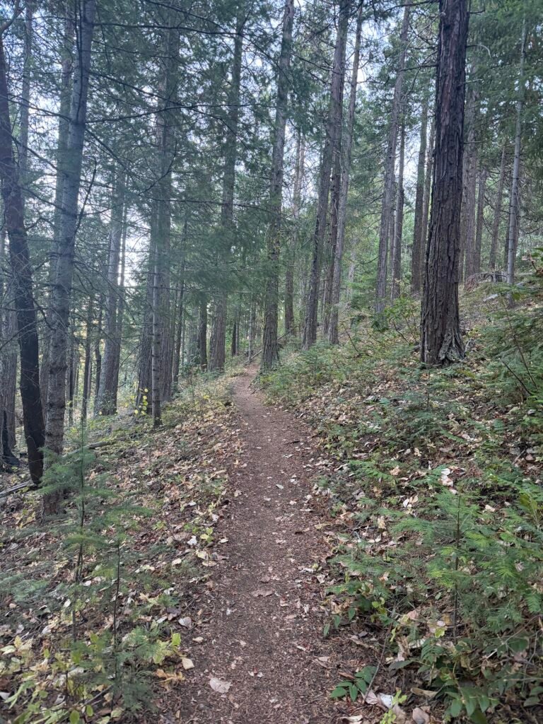
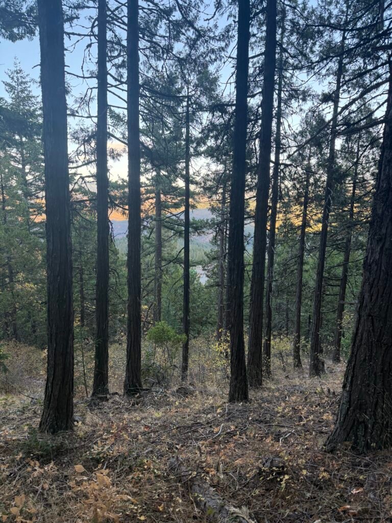
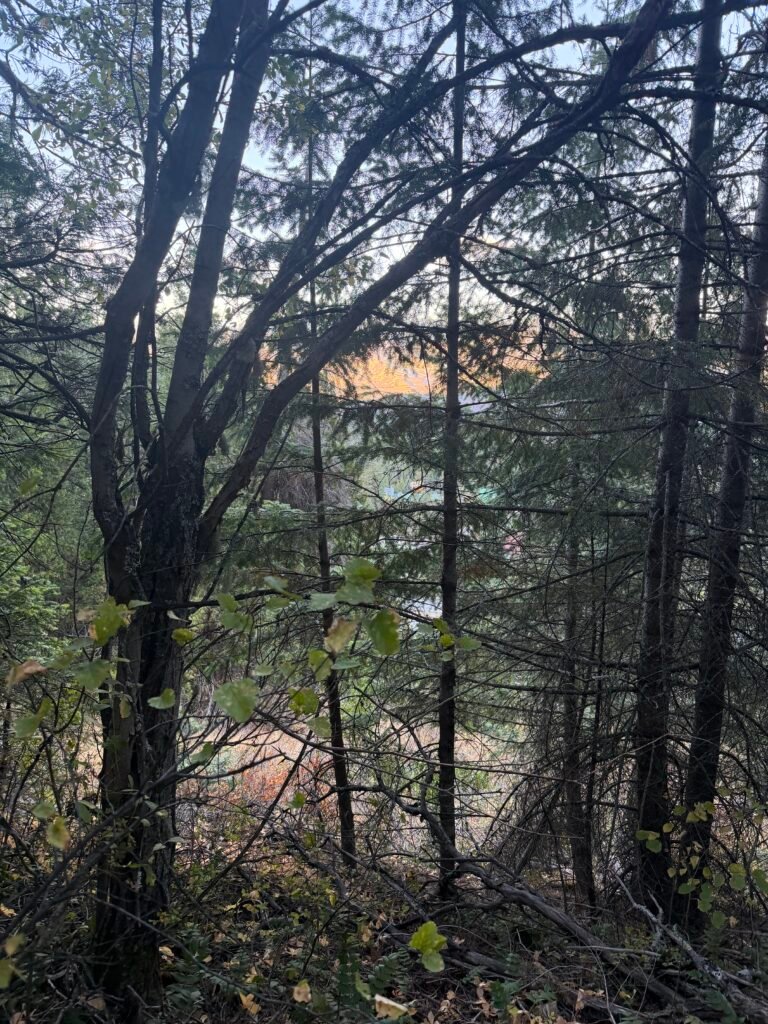
I spotted Callahan’s through the trees, but it would have to wait.
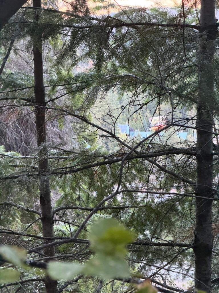
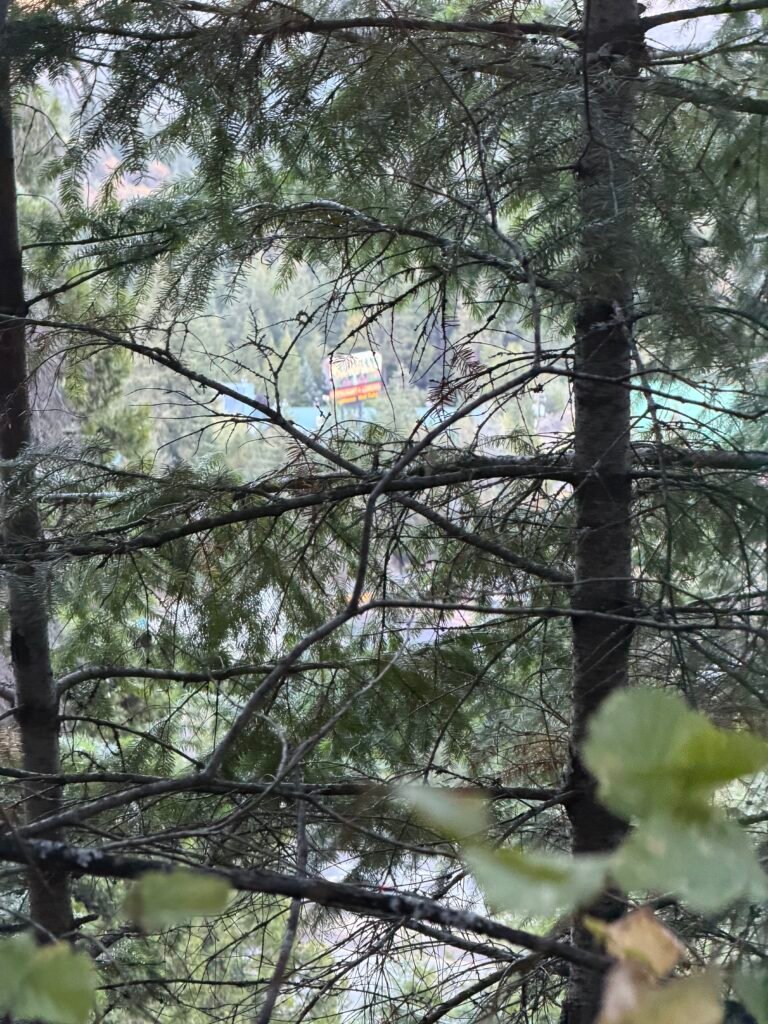
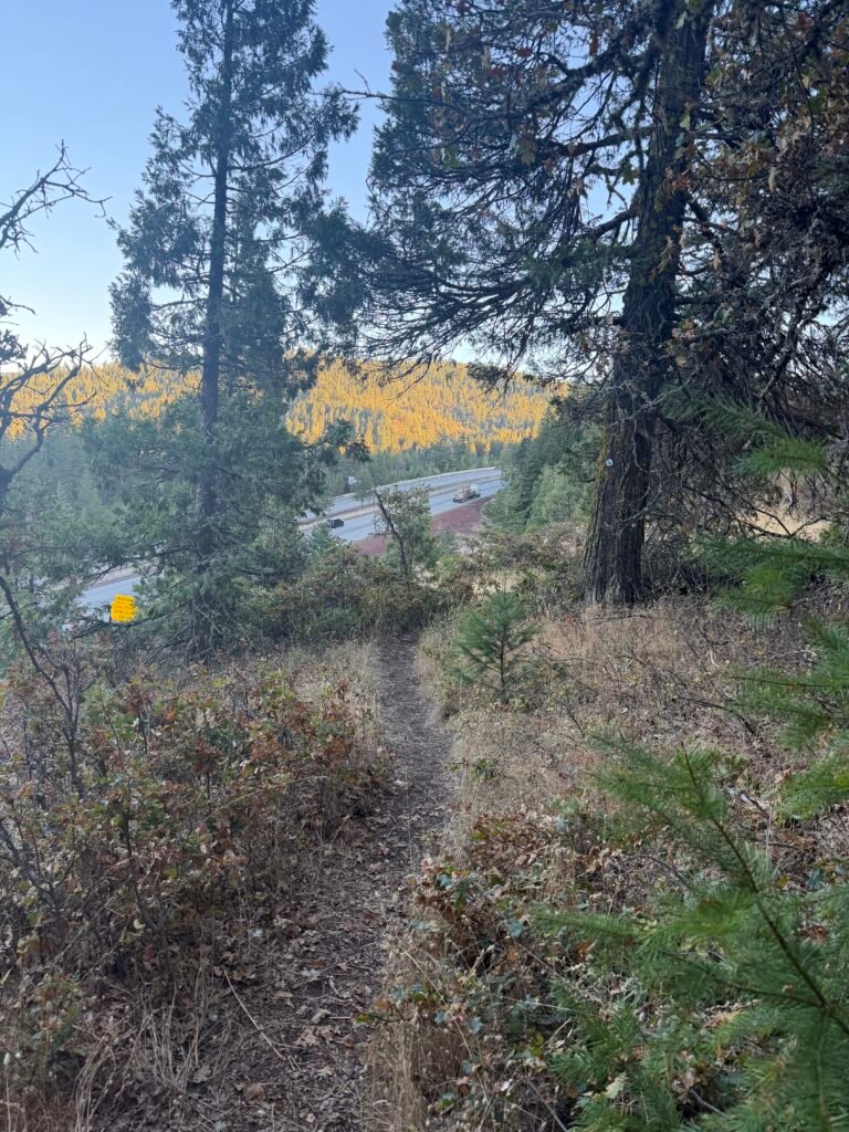
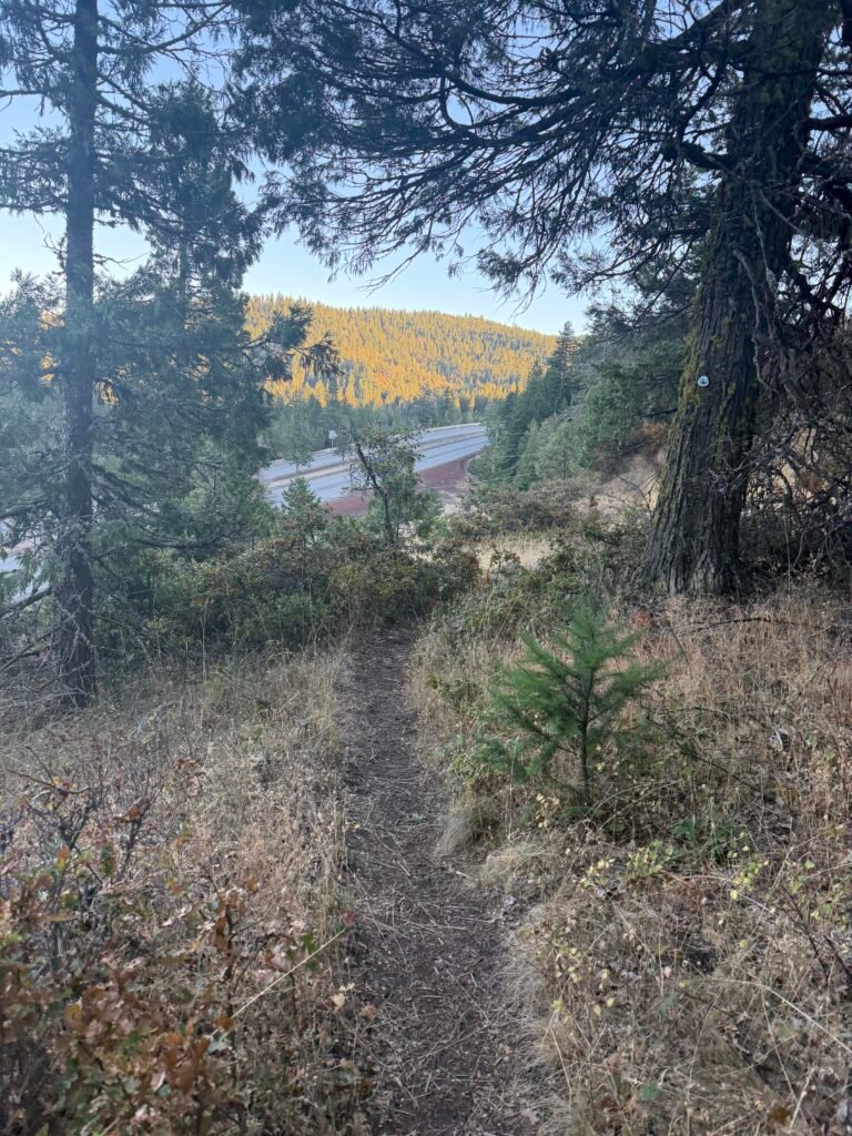
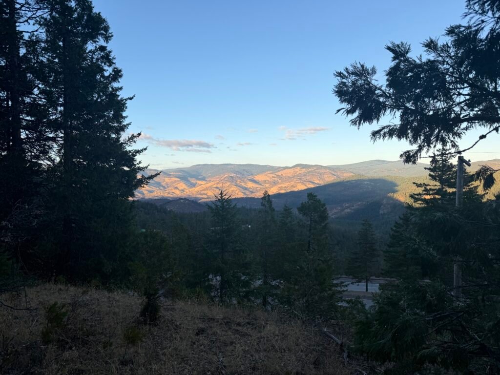
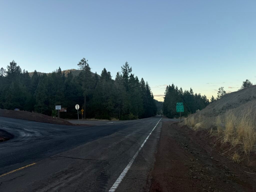
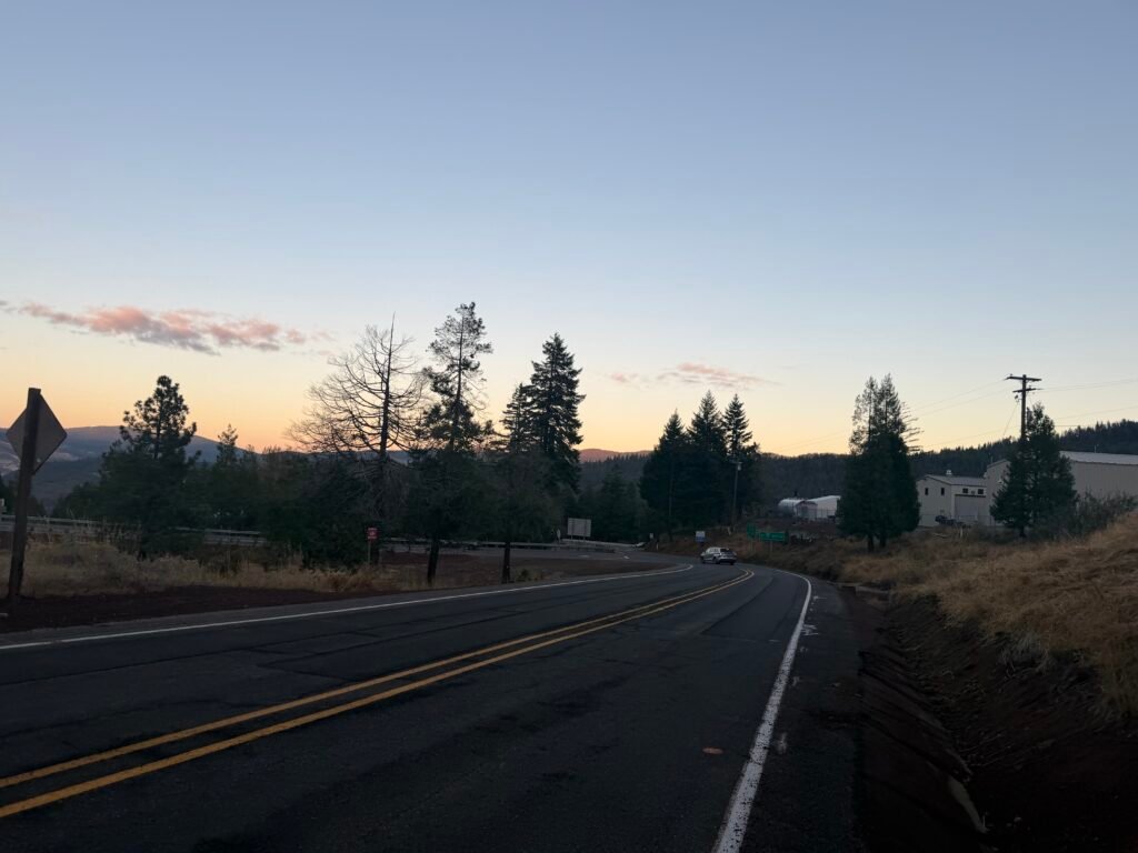
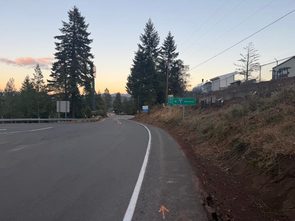
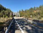
The freeway and the ‘old’ highway 99 came into view. The end was near.
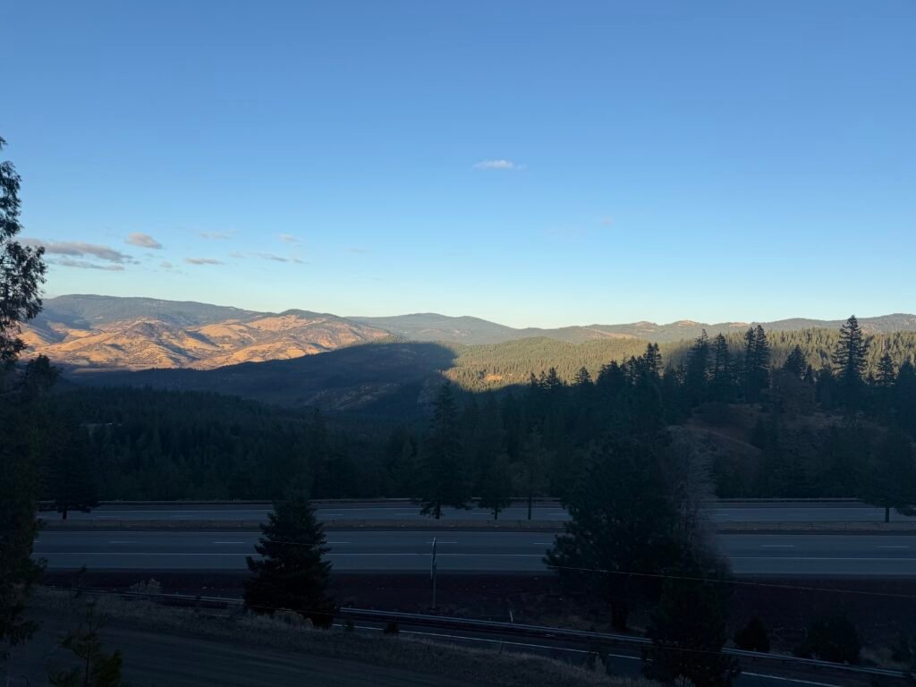
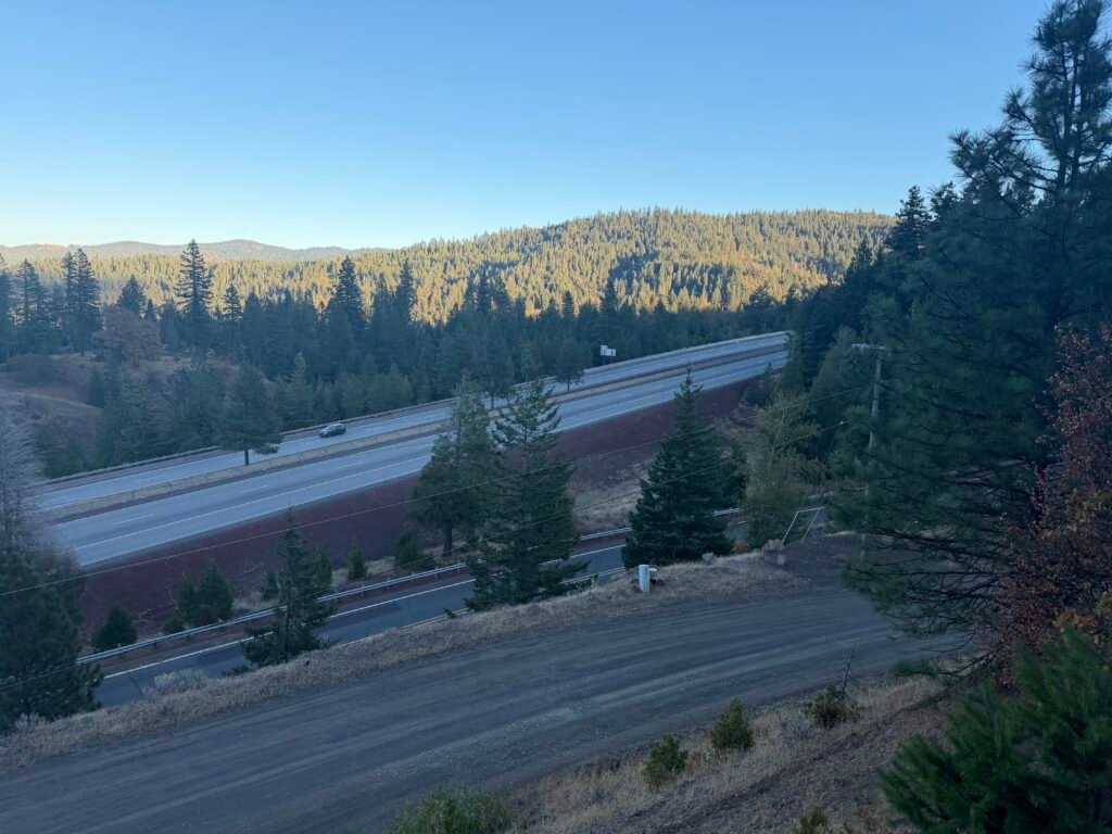
So, which way should I go?
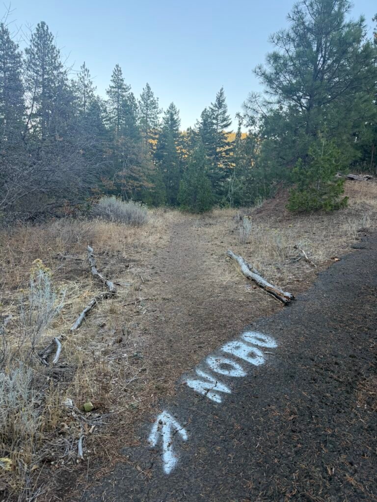
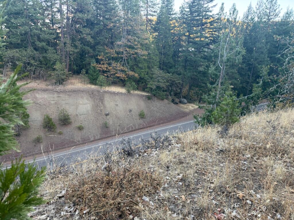
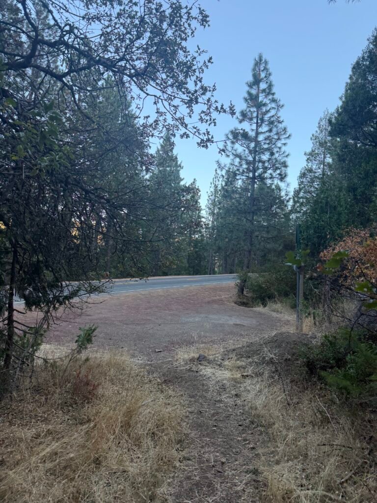
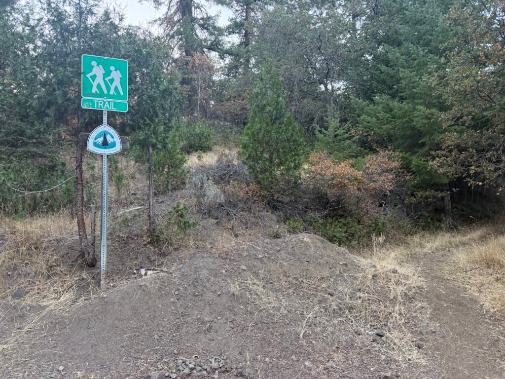
The I-5 underpass came into view.
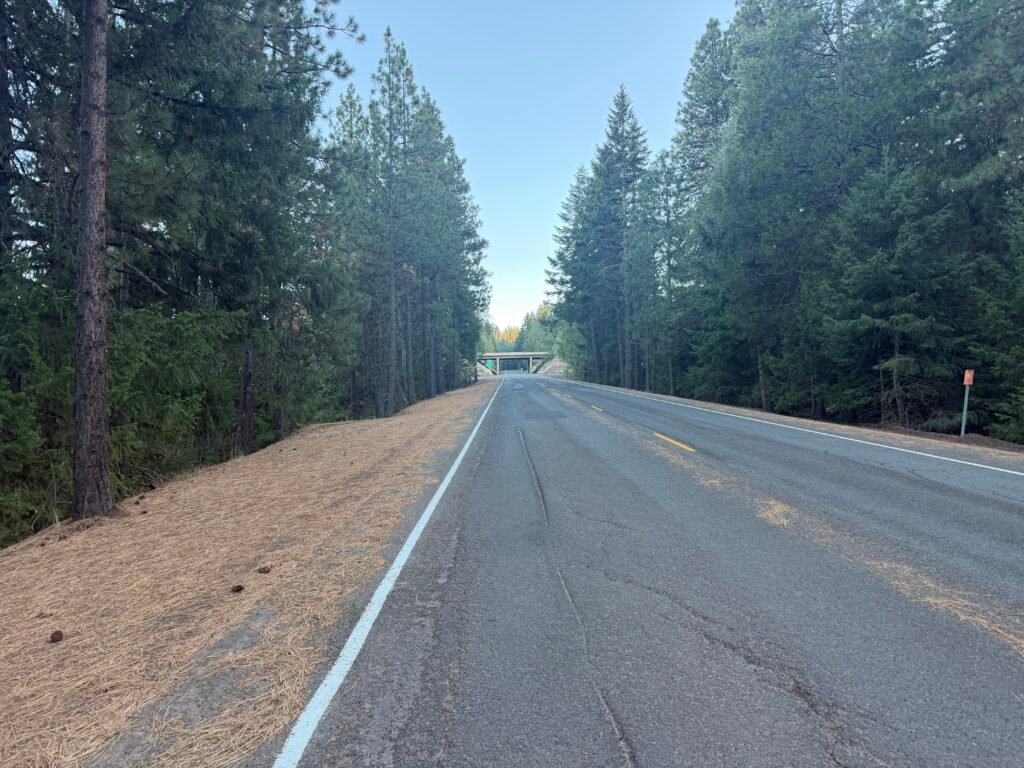
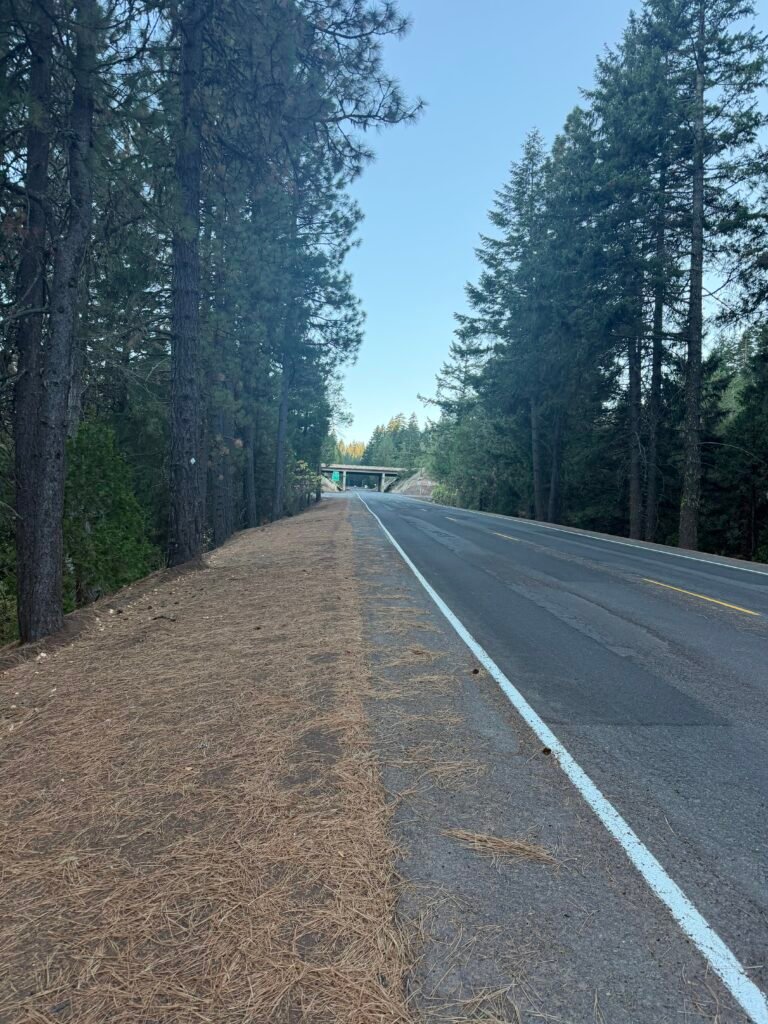
Getting closer.
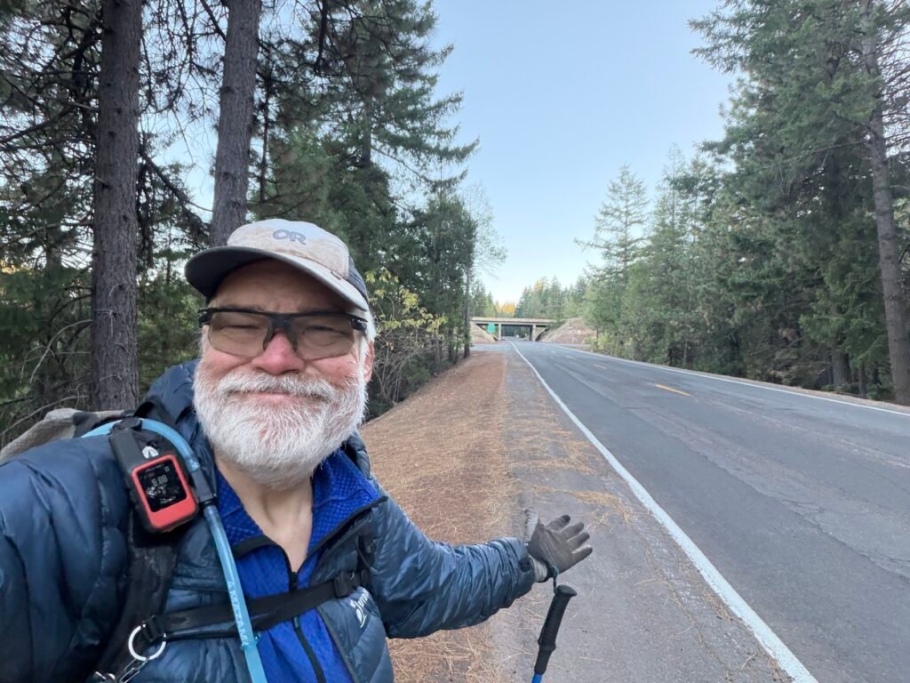
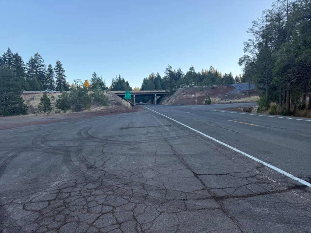
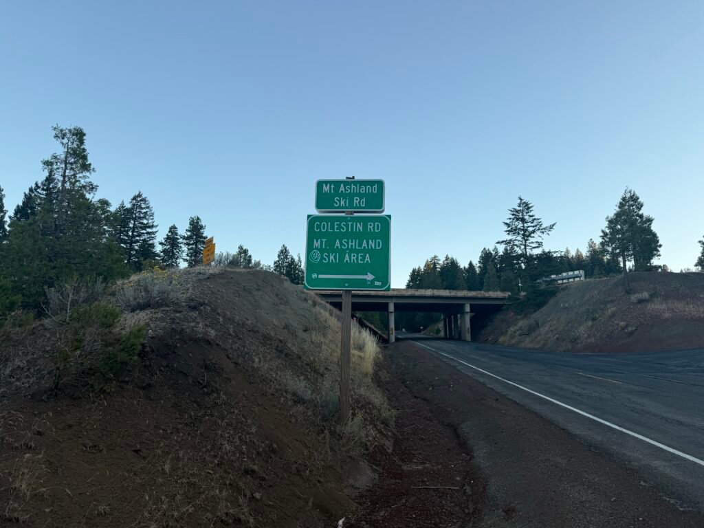
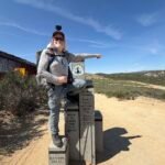
I took a picture in from of the Mt Ashland Sky Rd sign to prove where I was (the freeway underpass was pretty much like every other underpass 😀 ).
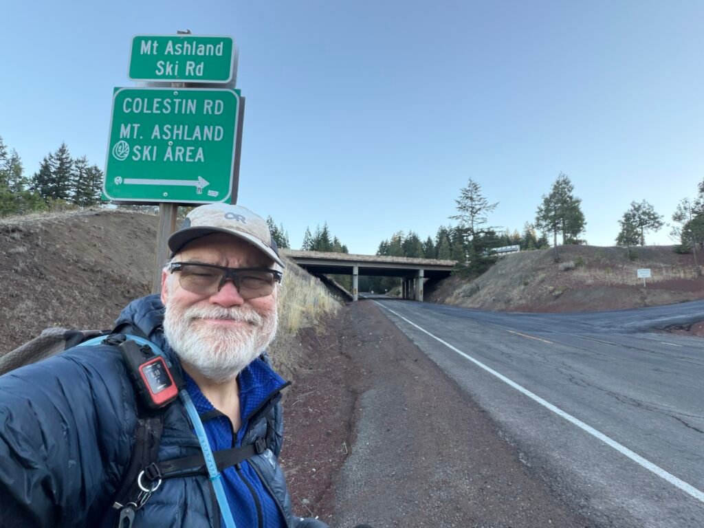
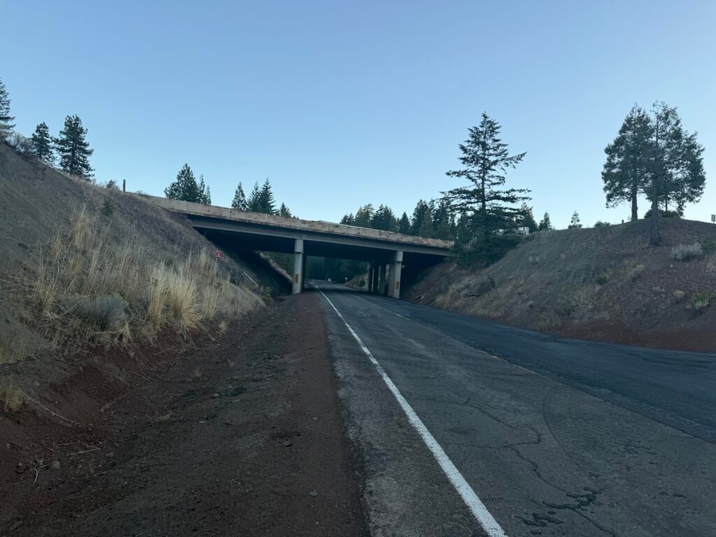
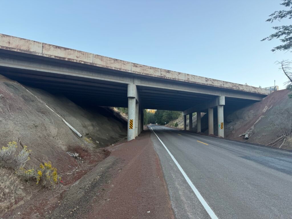
And… GOAL!!!
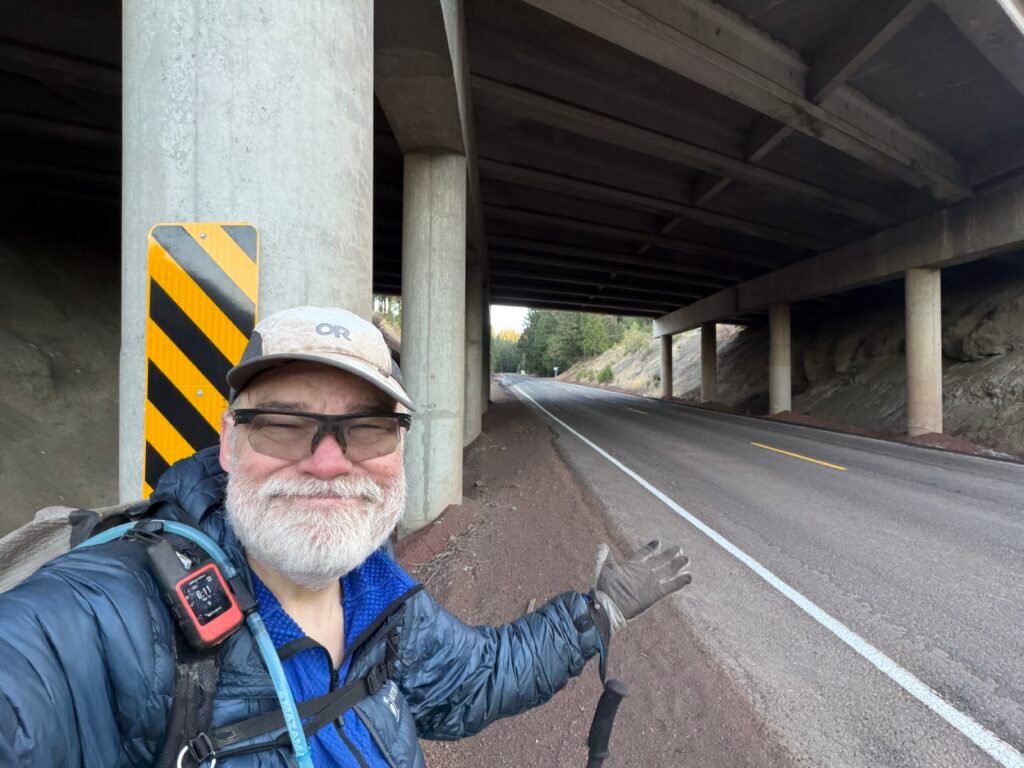
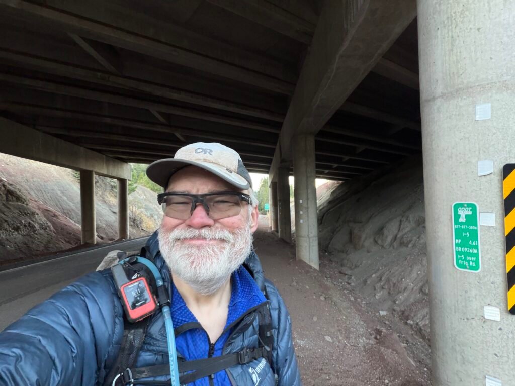
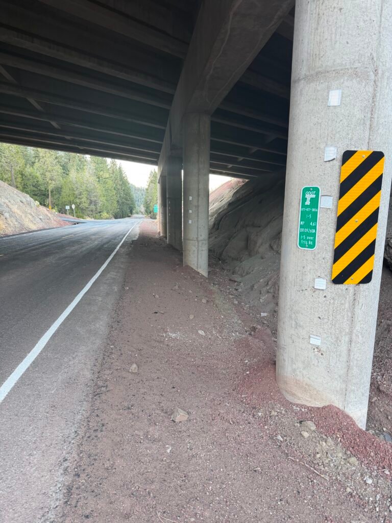
PCT Northbound Mile 1720.4!!! I had completed hiking the entire length of Californian on the PCT this YEAR!
The end of PCT California section R / Oregon section A was a great finish to the end of my hiking this year. While I still wish I could have made it to Canada, 1,720 miles in a single year was WAY beyond anything I ever did before and an experience that I will be proud of for the rest of my life.
Life changing is an understatement.
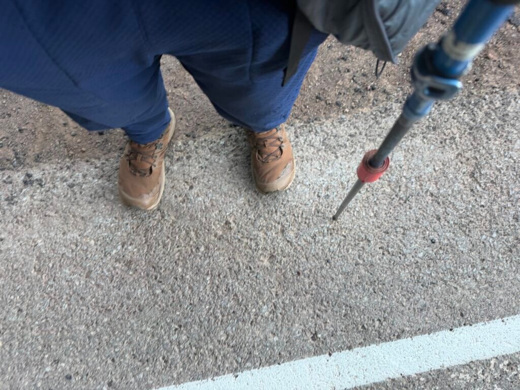
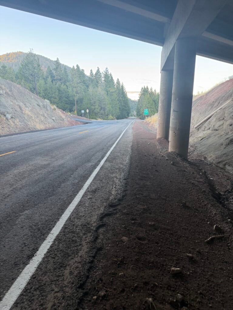
After a brief rest under the overpass to soak in my achievement, I turned around and headed back along the Old Highway 99.
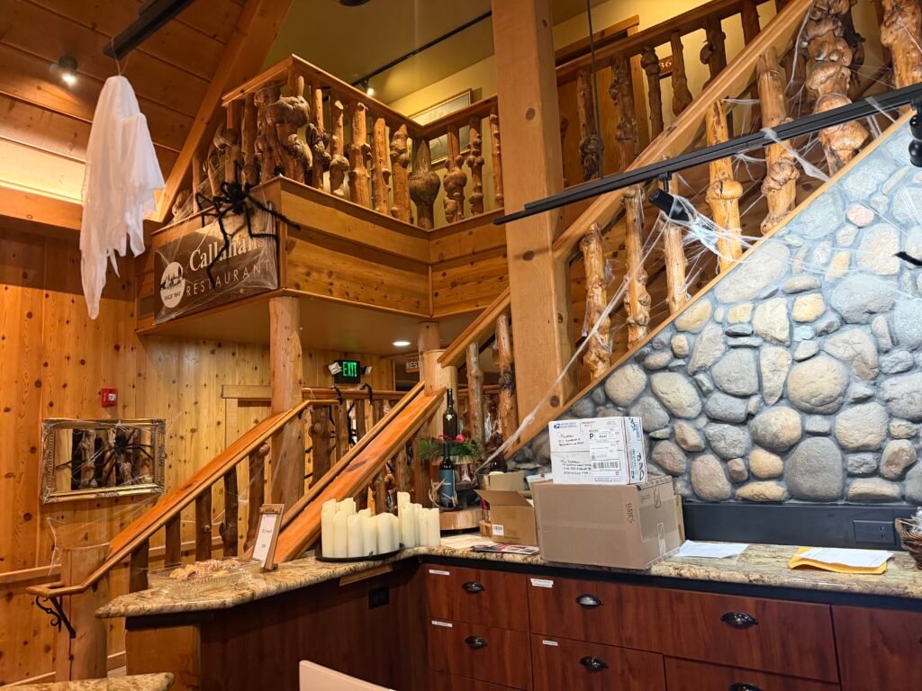
Shower, Diet Coke, Dinner, and a real bed to sleep in. And central heating.
Ah…
Despite some questions if I would continue to Crater Lake this year, that option had been abandoned ever since I aborted at Mount Shasta. Too late in the year, too cold, and too much of a chance of rain/snow to continue any further. I had lucked out on weather until Oregon, so no reason to push it for this year.
I did throw out some of my remaining food and trash and repack my gear before getting a ride down to my Jeep near Mount Shasta, but I didn’t do any repairs and cleaning of the gear. That really helped drive home that I was done for the year.
Even the thought that I had had two weeks earlier to drive up to Washington and do the 4-5 days to pop up from Harts Pass to the Canadian border was only a very short passing thought at this point.
I was done for the year.
But we’ll see how I feel in 1-2 weeks back in the real world. 😀
And now to start planning my Oregon and Washington PCT hike to the Canadian border next year.
Mile 1702.3 to 1720.4 – 18.1 miles total hiked on PCT + 1 mile to hike to Callahans
FINAL MODIFIED 2026 GOAL ARCHIVED!!!

Comments by WanderingJim
PCT Mile 1528 and then…
"Yes, got home safe, but got trail sick and wanted to get..."
PCT DAY 85 – CA Section H
"No cell service in many parts of the PCT. Not dead yet."
PCT or BUST!
"Yes, I’ll be going through there by early August"
JMT 2020 Day 3
"I'm afraid I have no idea. Not really a fisherman, so don't..."
JMT 2020 Trek Day by Day
"Yeah, but with 9,000 pictures, it's hard to label each one..."