
Tuesday, April 21st, 2026
So this day started off at where I ended two days ago at the Interstate 10 underpass.
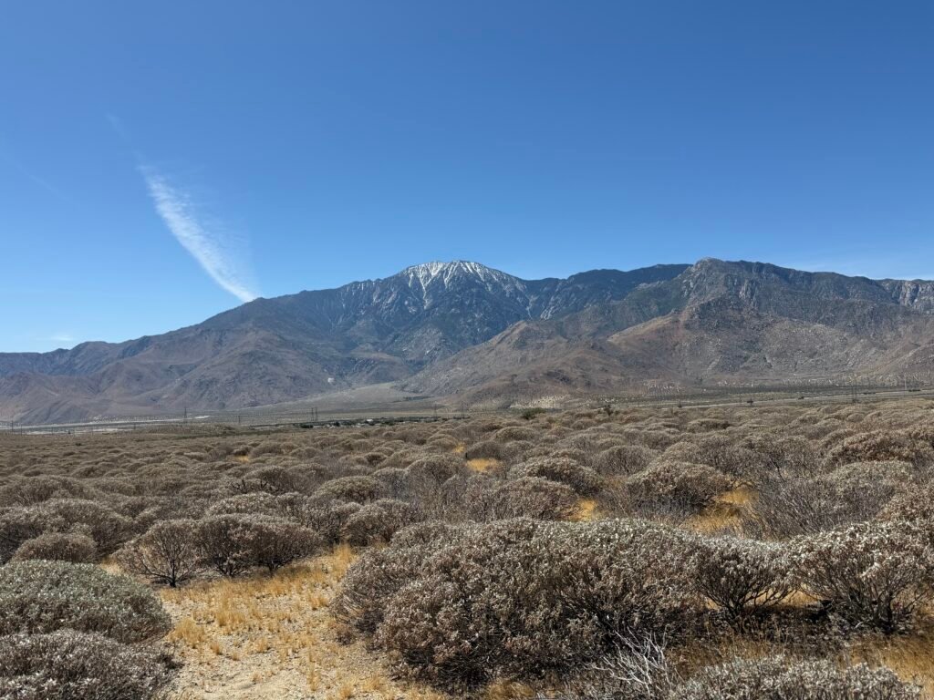
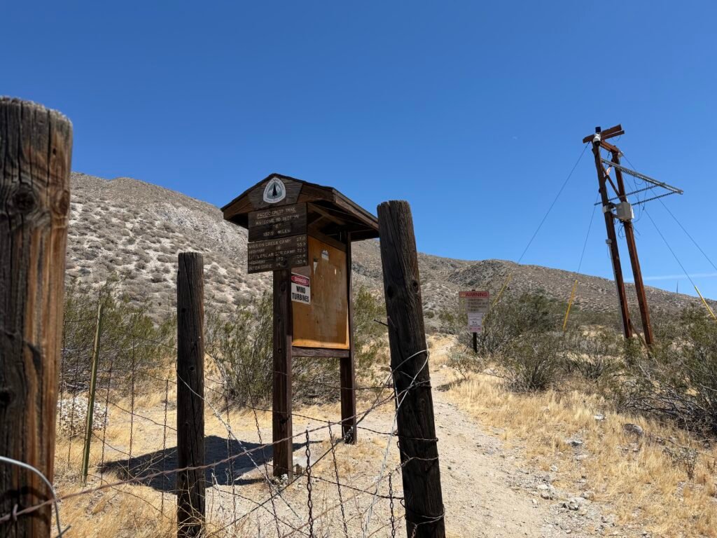
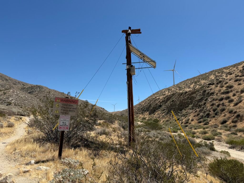
I then headed north and alongside a wind farm for quite a while.
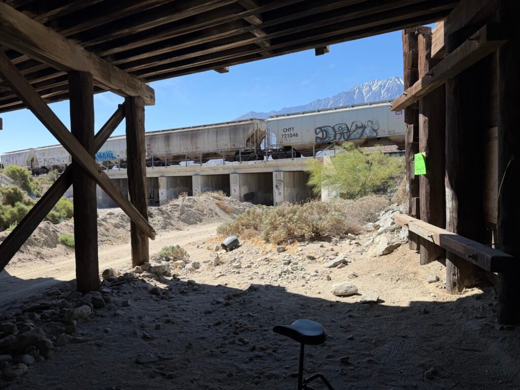
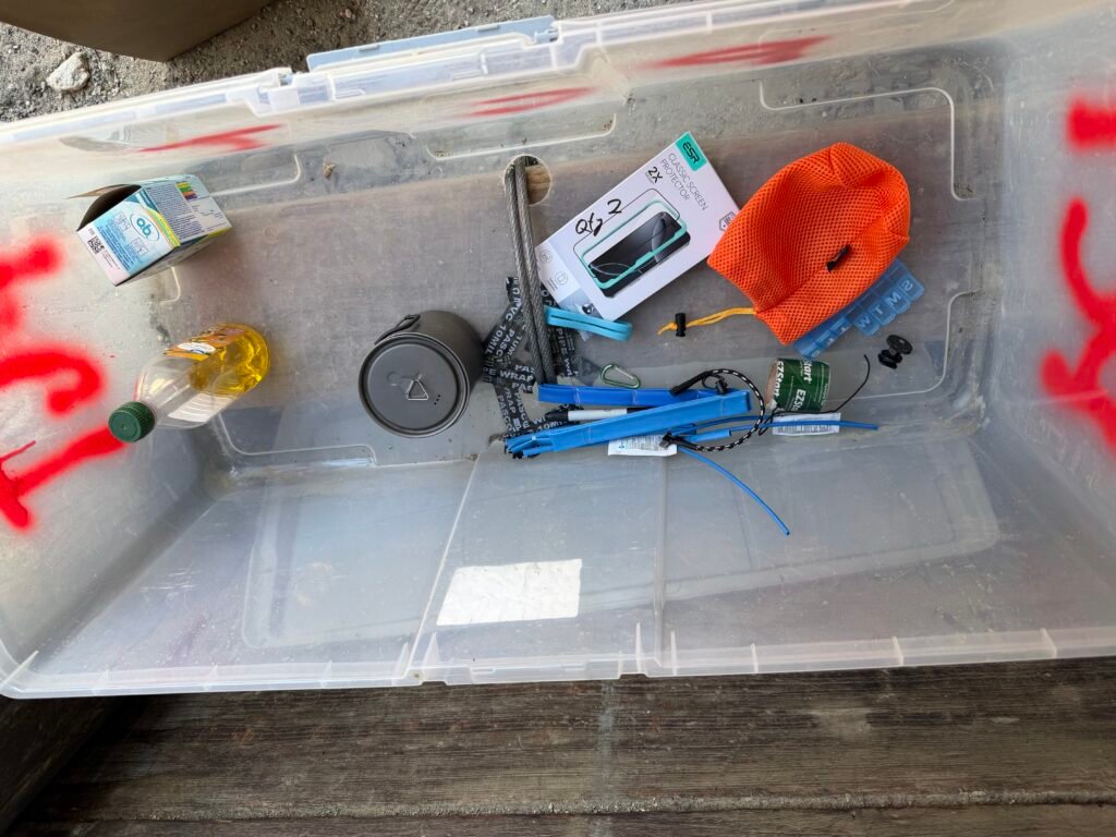
After upgrading to a larger cooking cup to keep my ramen from overflowing the cup and replacing the screen protector on my iPhone that had broken somewhere in the past 200 miles, I left some unneeded items in the hiker box under the freeway. Hopefully they will be useful to other hikers.
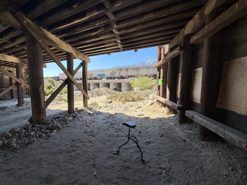
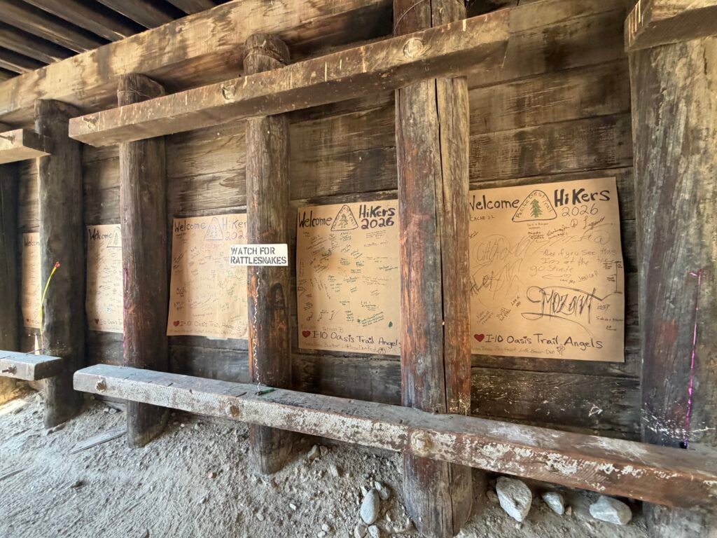
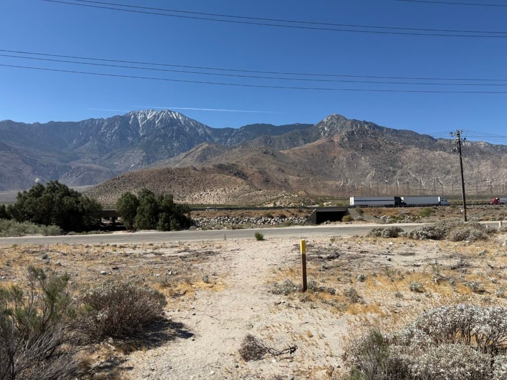
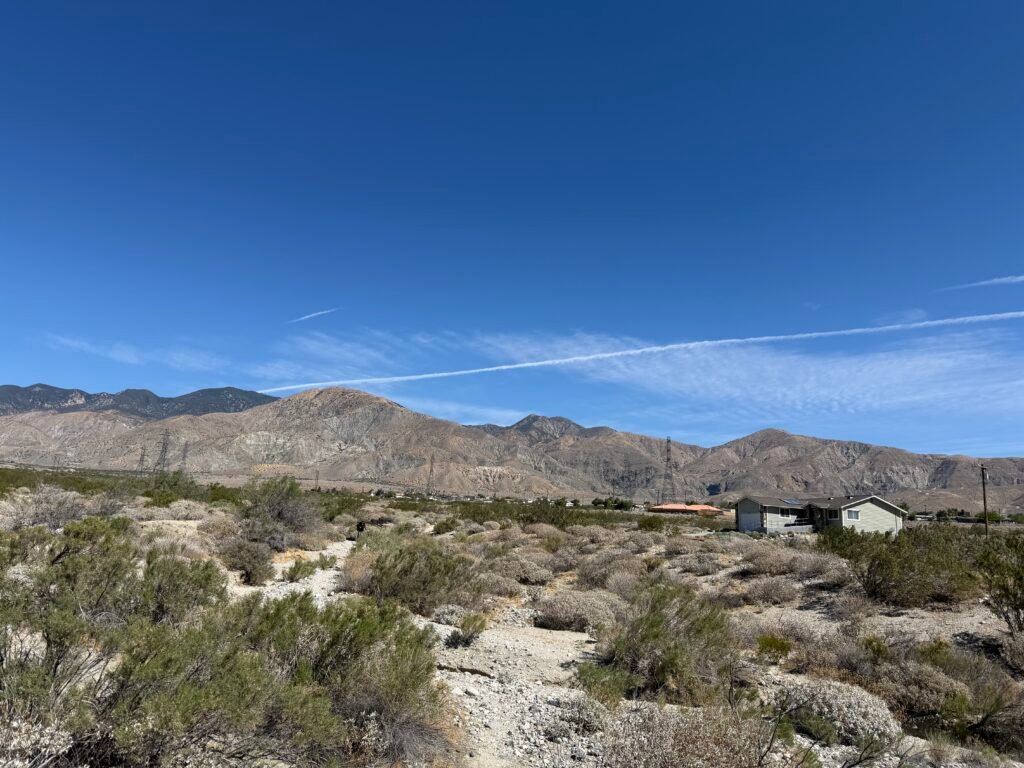
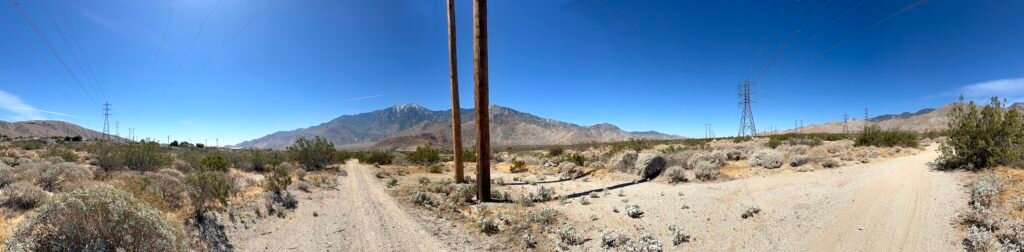
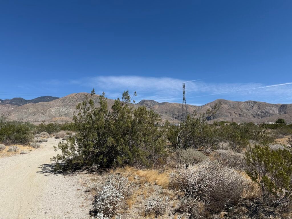
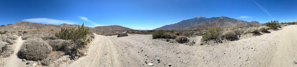
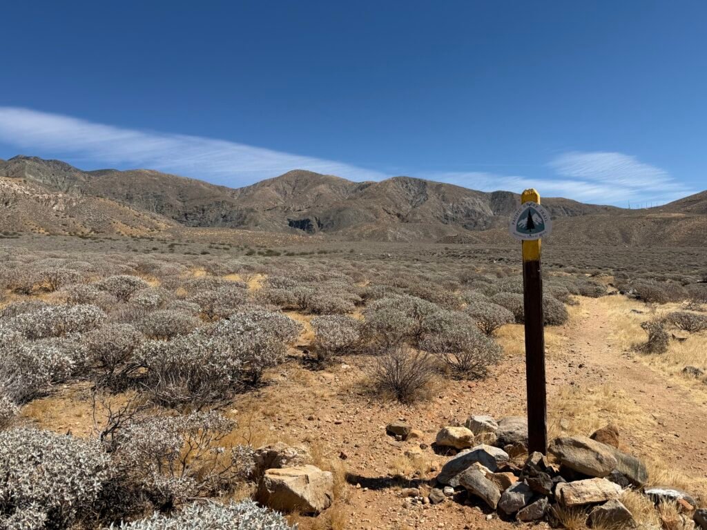
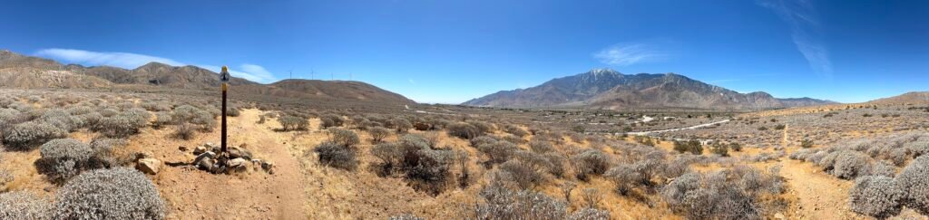
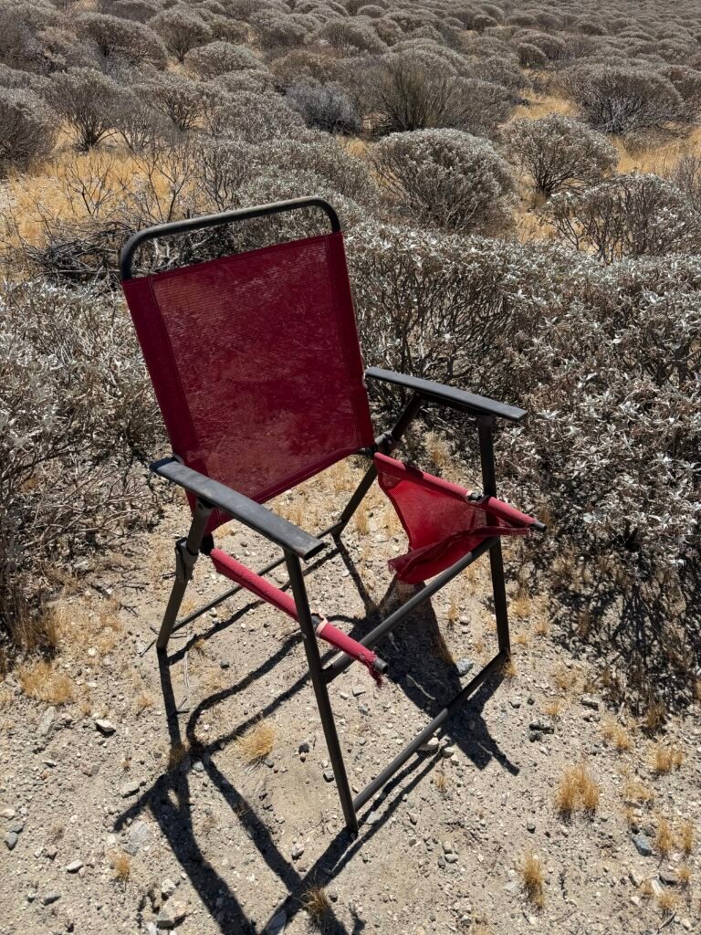
After a miler or two, I took the chance to sit down and rest on a nice…
Oh, nevermind. 😀
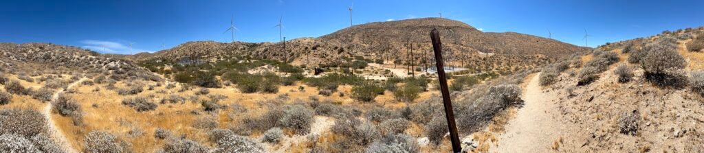
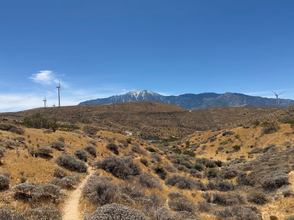
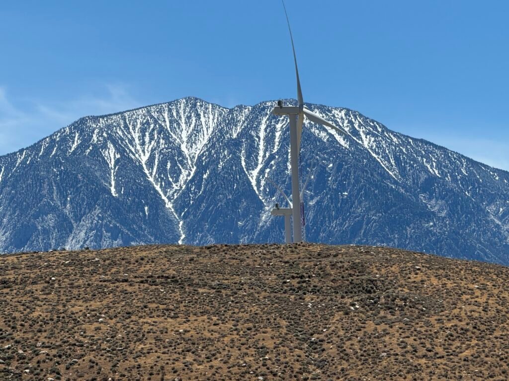
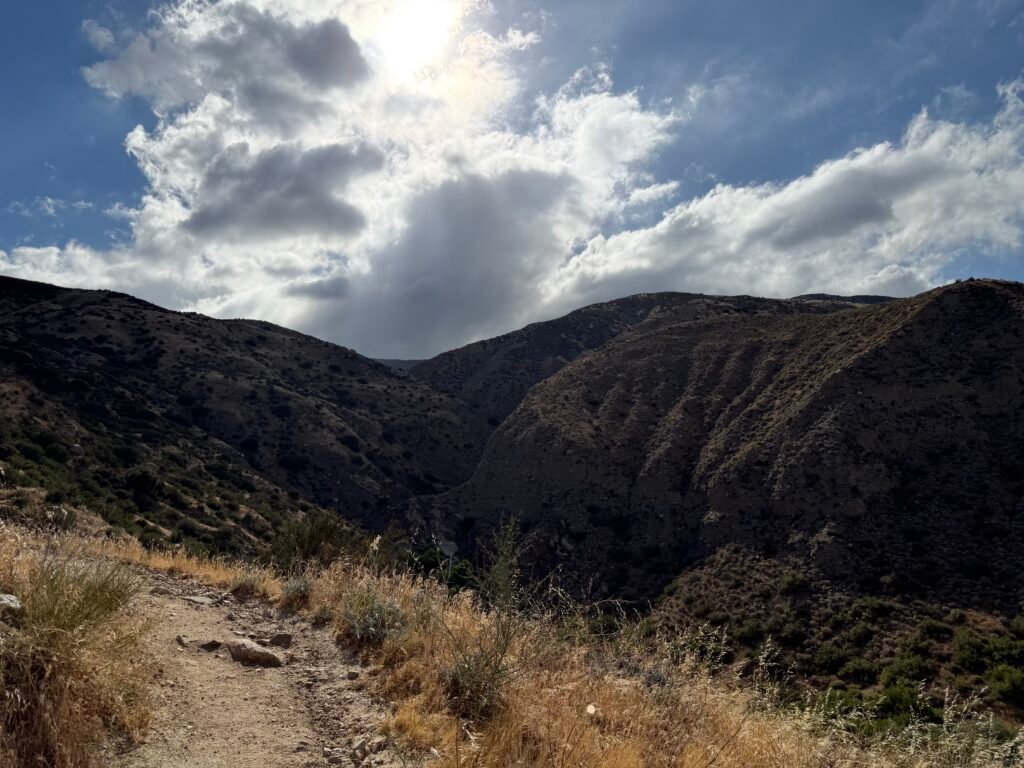
Then I hiked through one of three box canyons I would be negotiating this day. Box canyons are those dead end valleys that you see in the old Westerns. No way out once you get to the end.
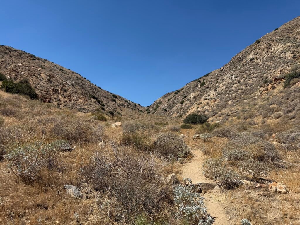
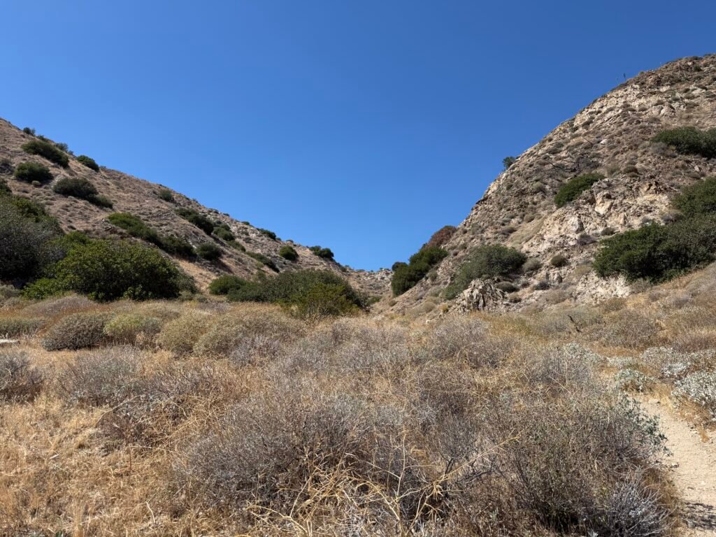
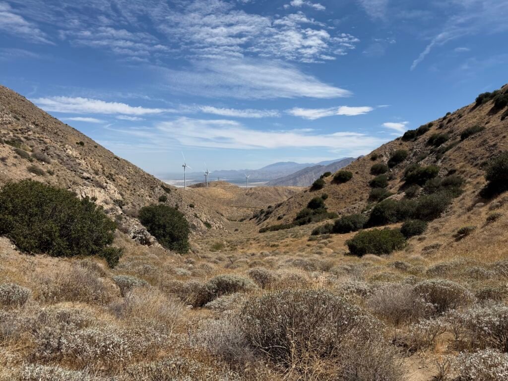
Except to climb endless switchbacks until you reach the top of the ridge and then you go down again (usually).
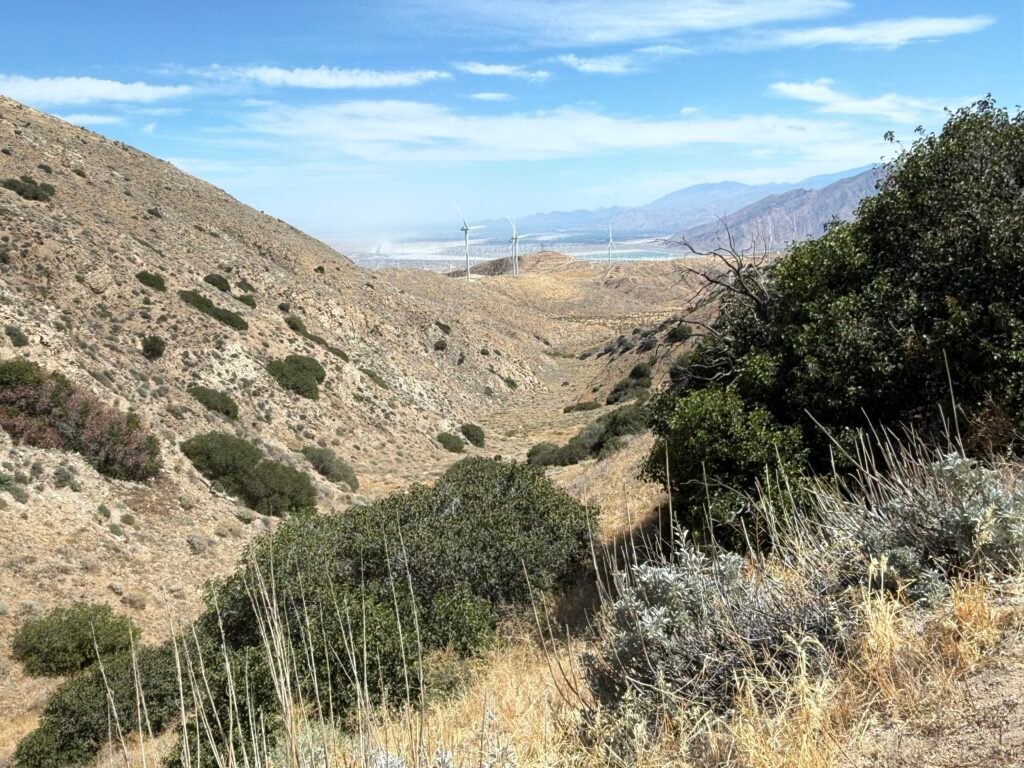
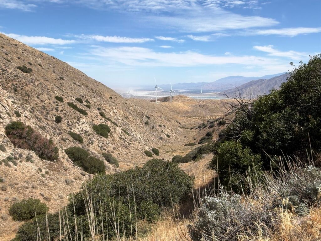
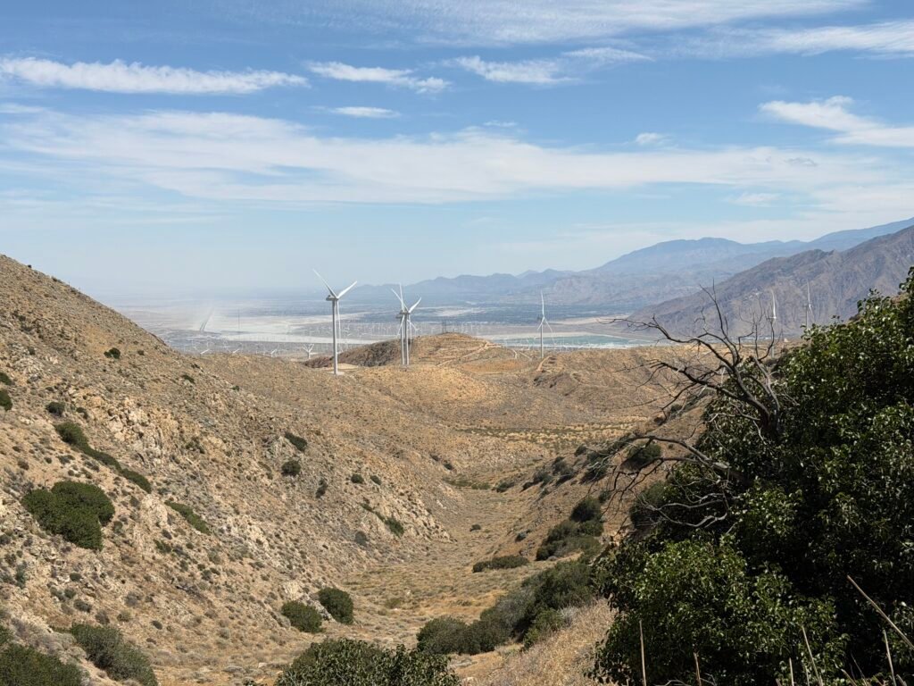
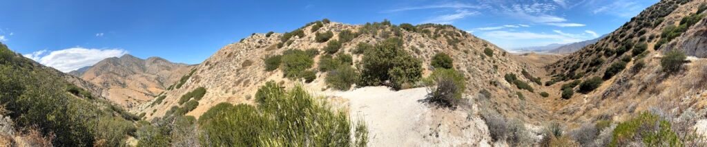
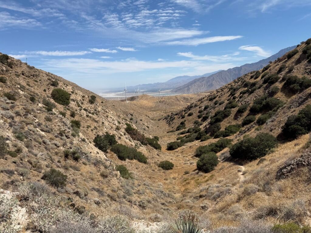
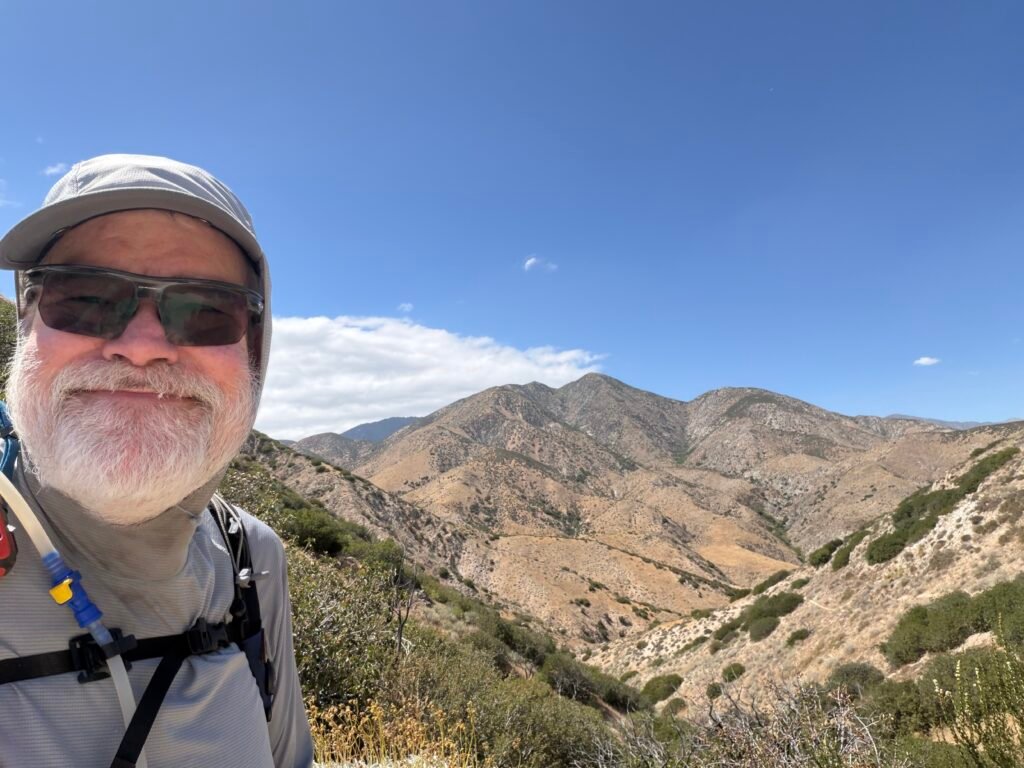
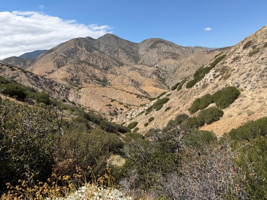
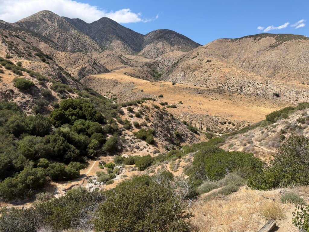
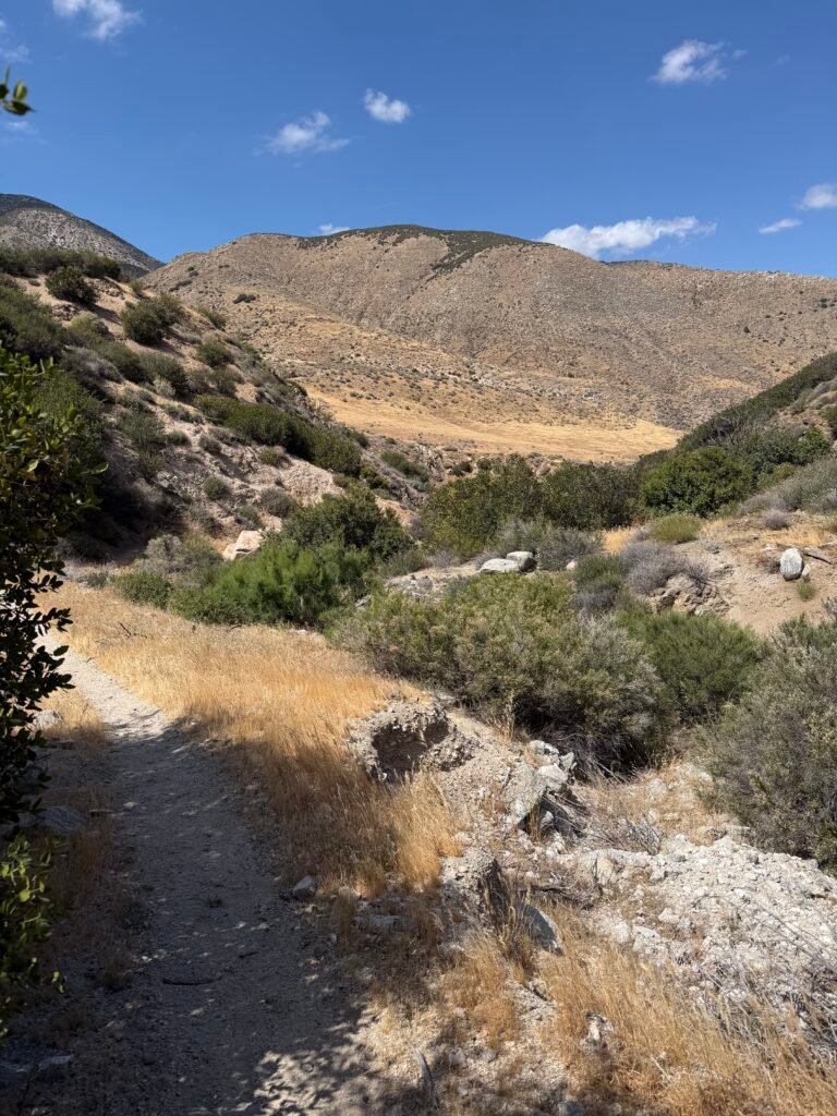
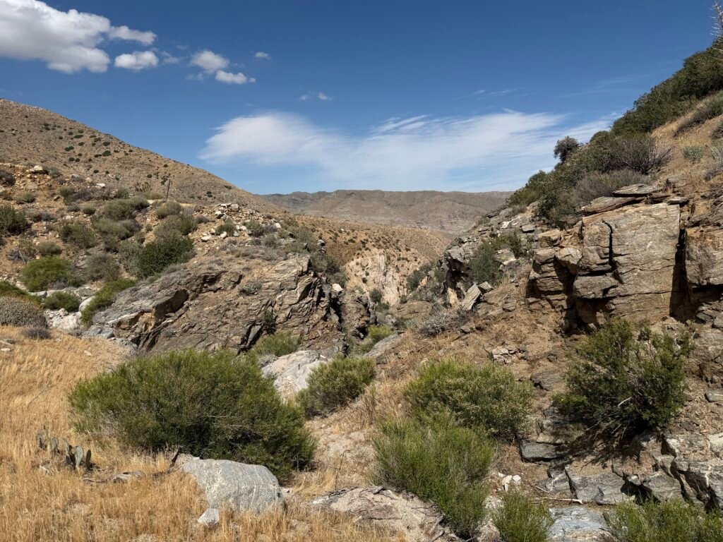
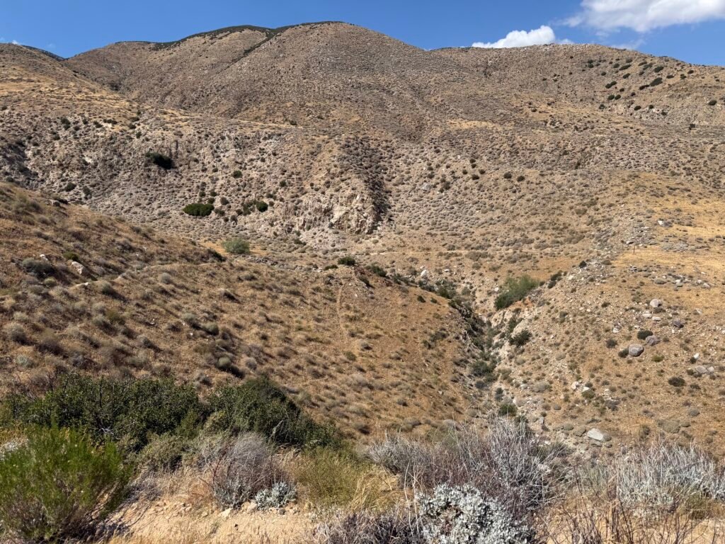
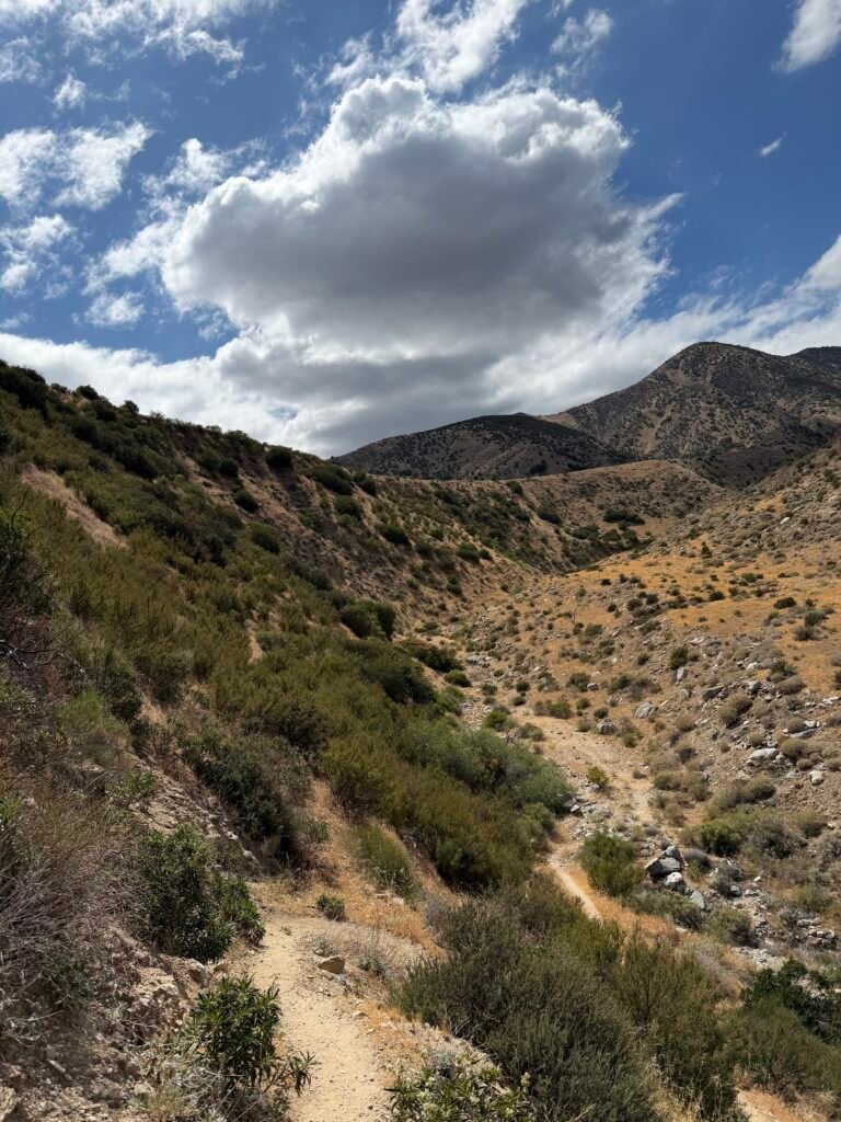


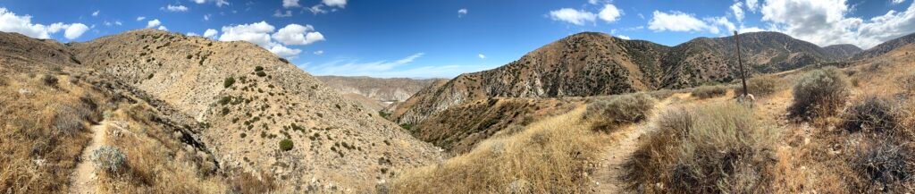
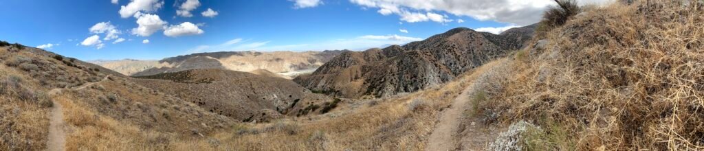
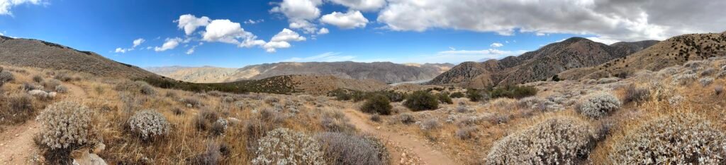
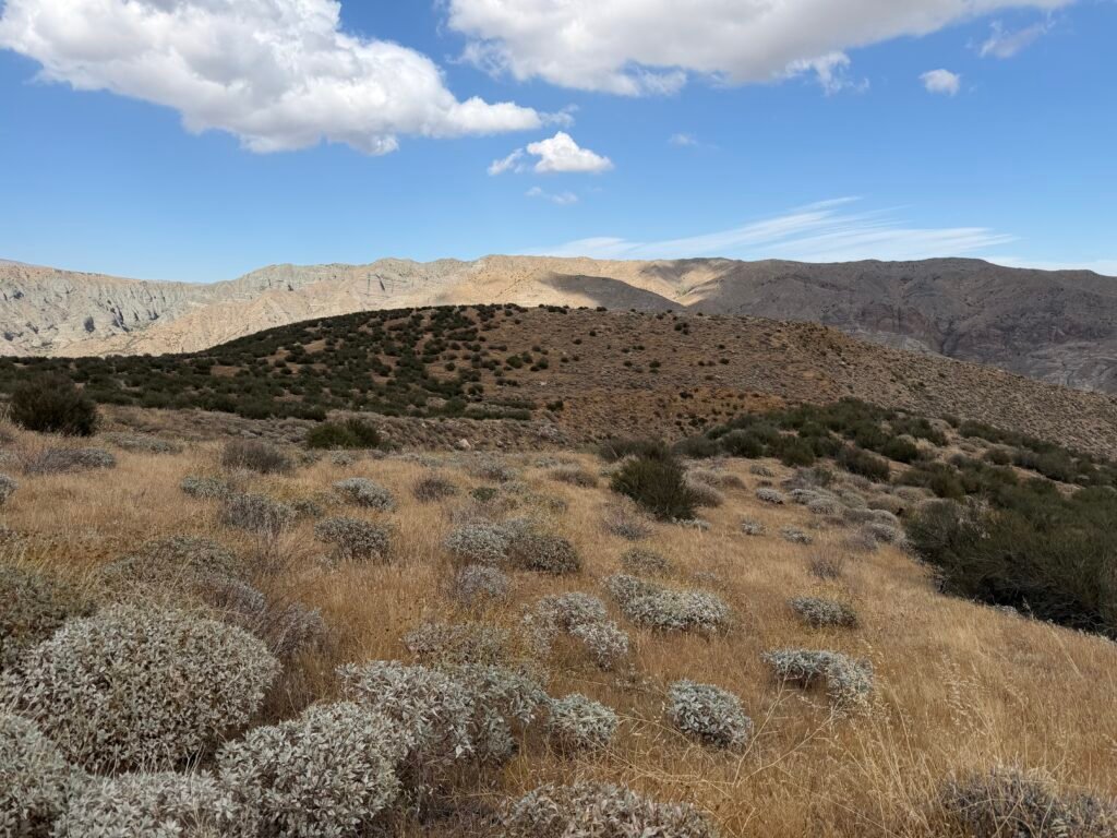
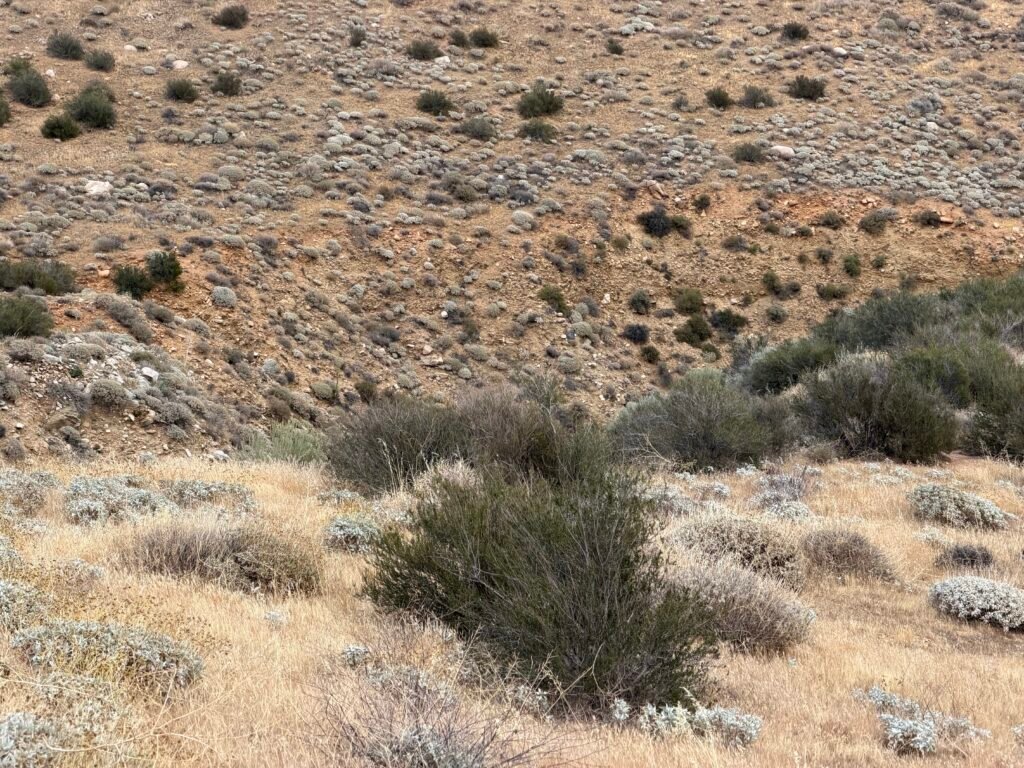
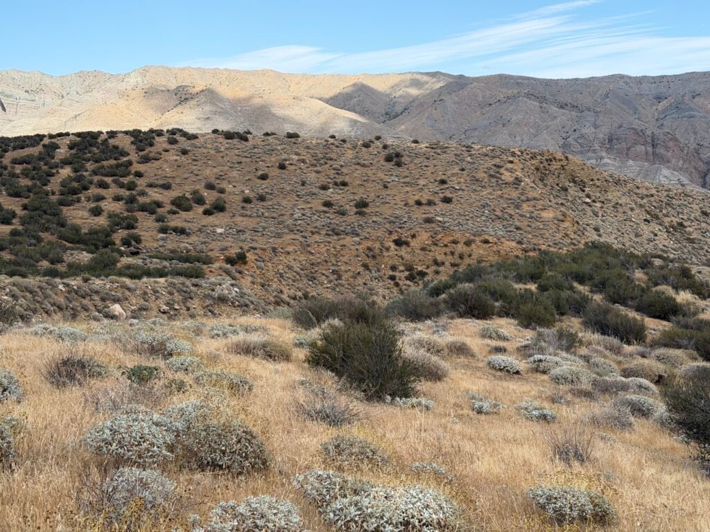
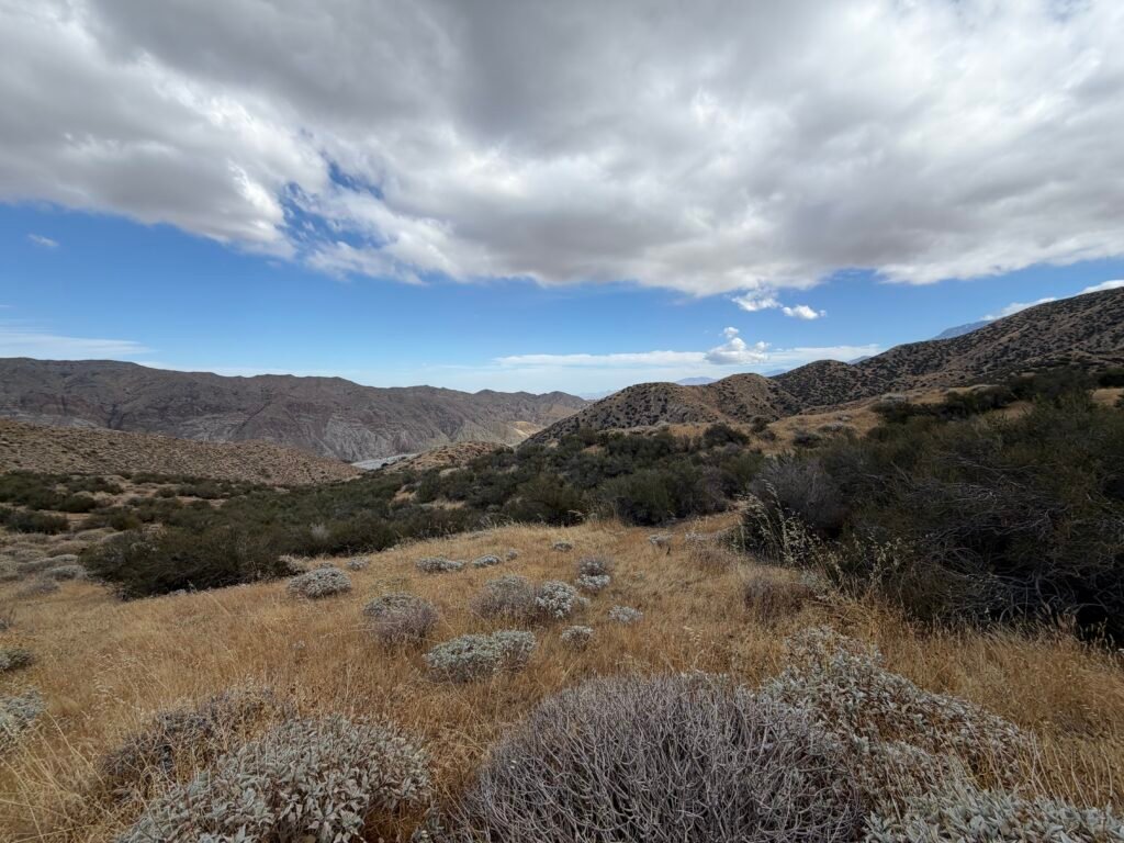
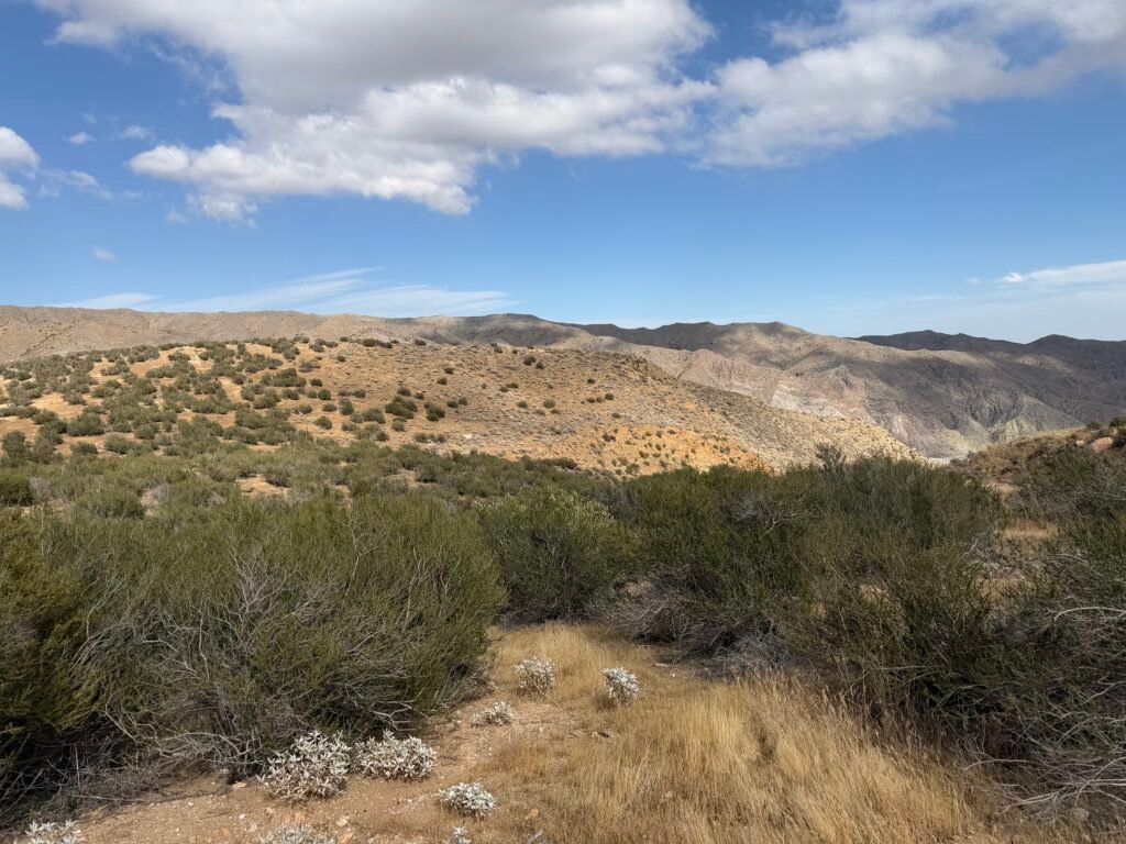
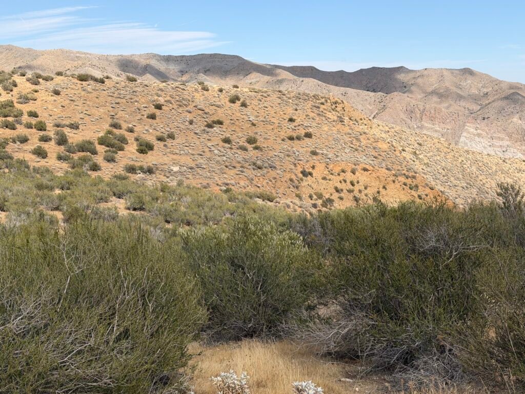
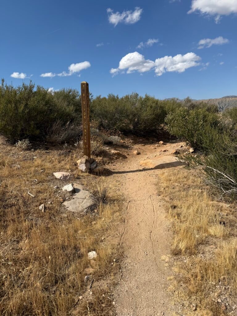
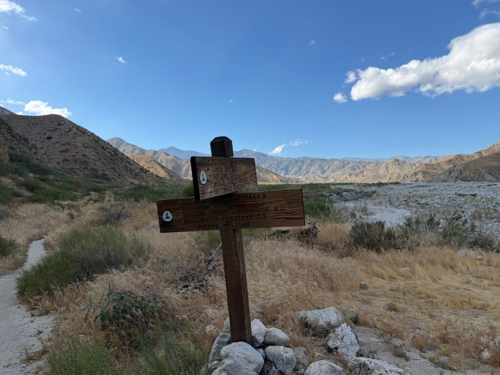
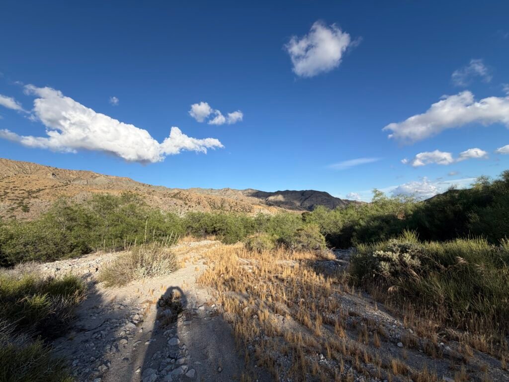
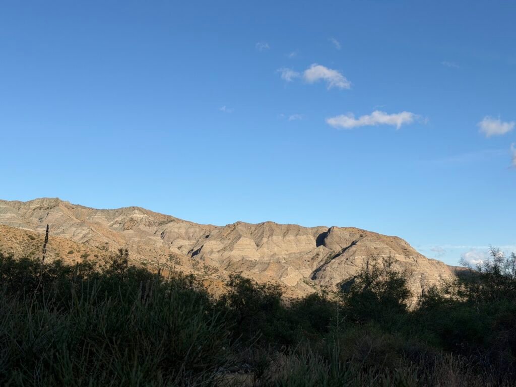
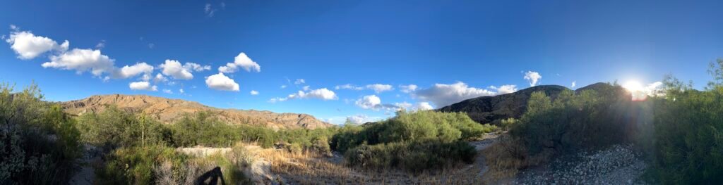
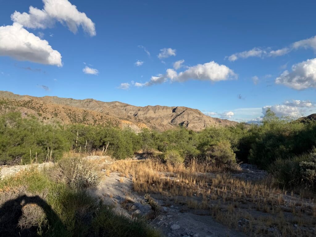
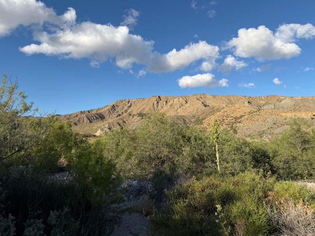
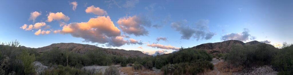
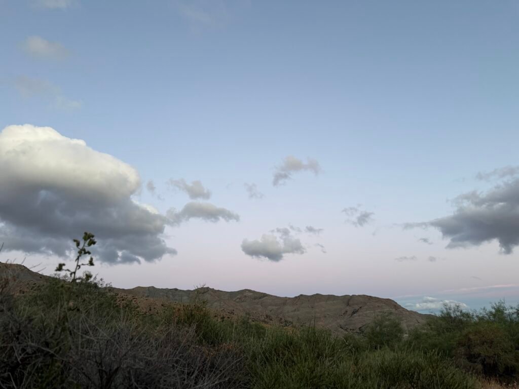
Reaching the high point for the day, I passed the trail to the Whitewater Preserve. Nothing there for me at this time, so I continued North into the Whitewater River basin. It was a huge flood plane in the early spring when the mountain snow was melting. Fortunately, there was only a few streams that should be easily navigated when I went through.
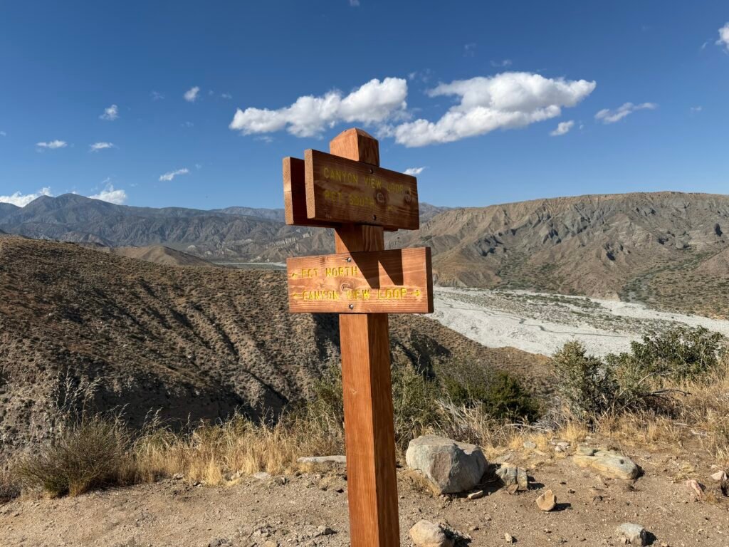
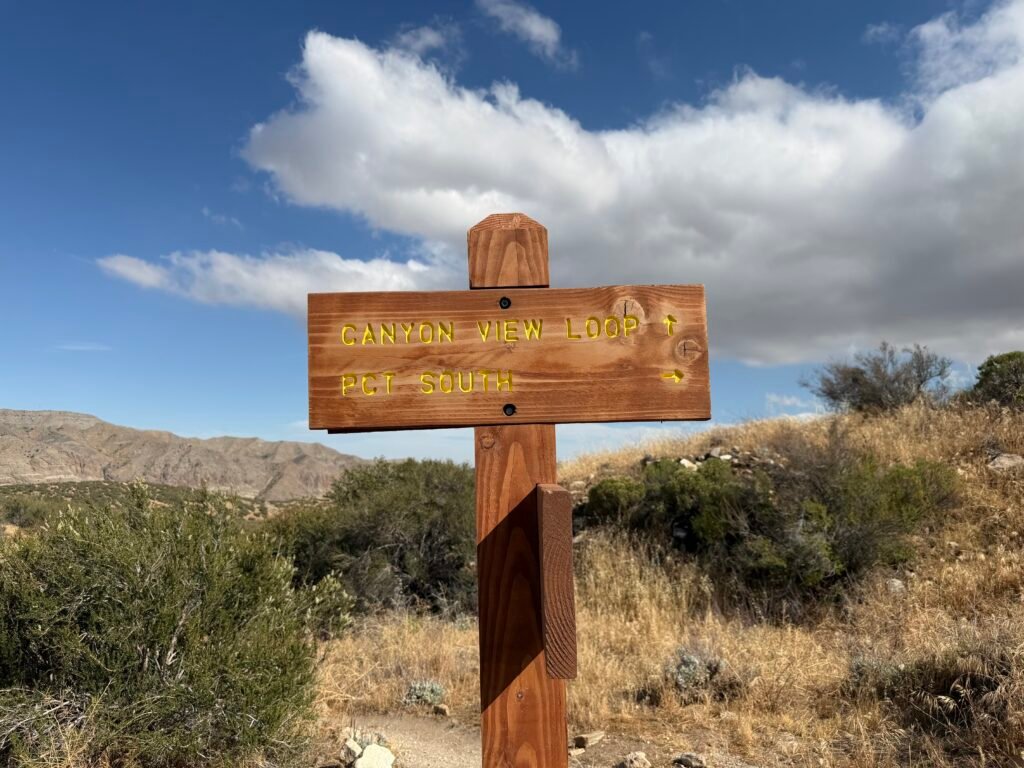
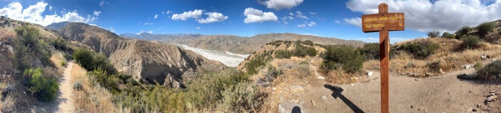
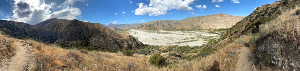
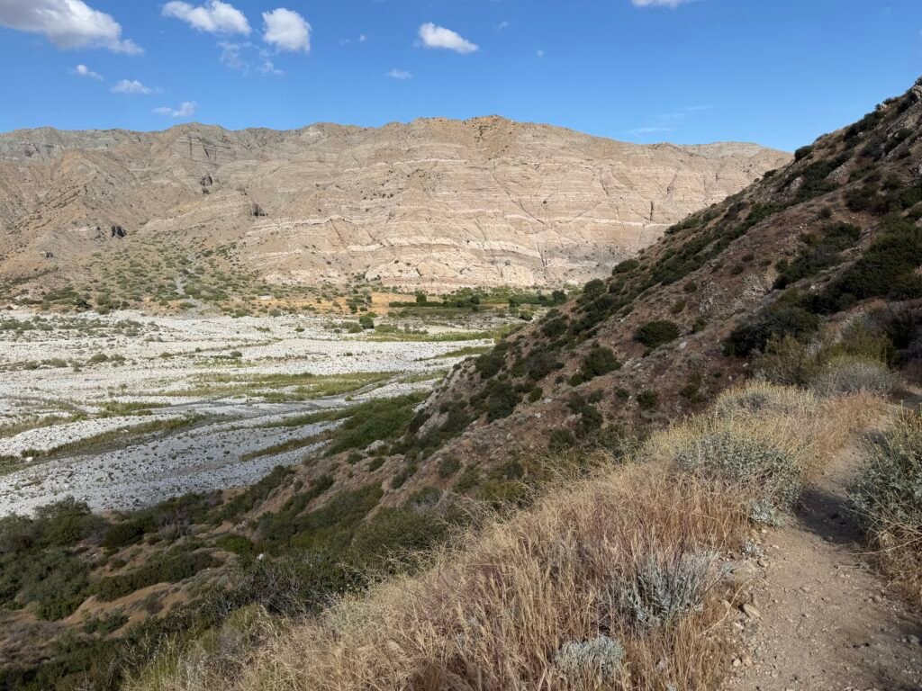
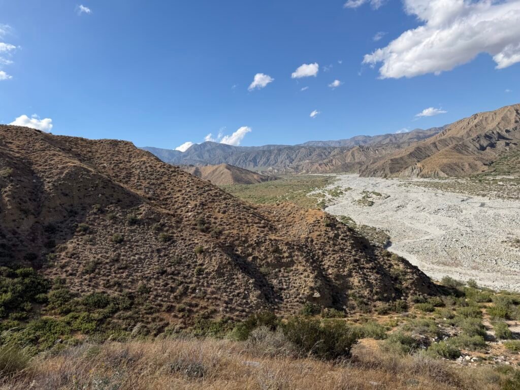
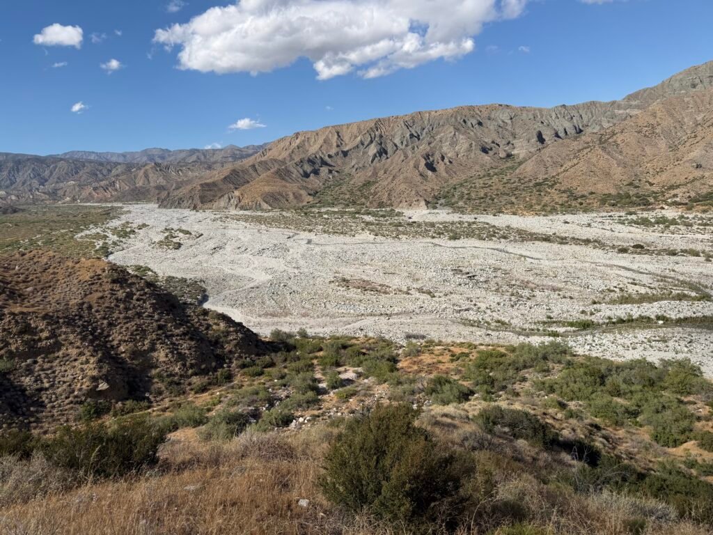

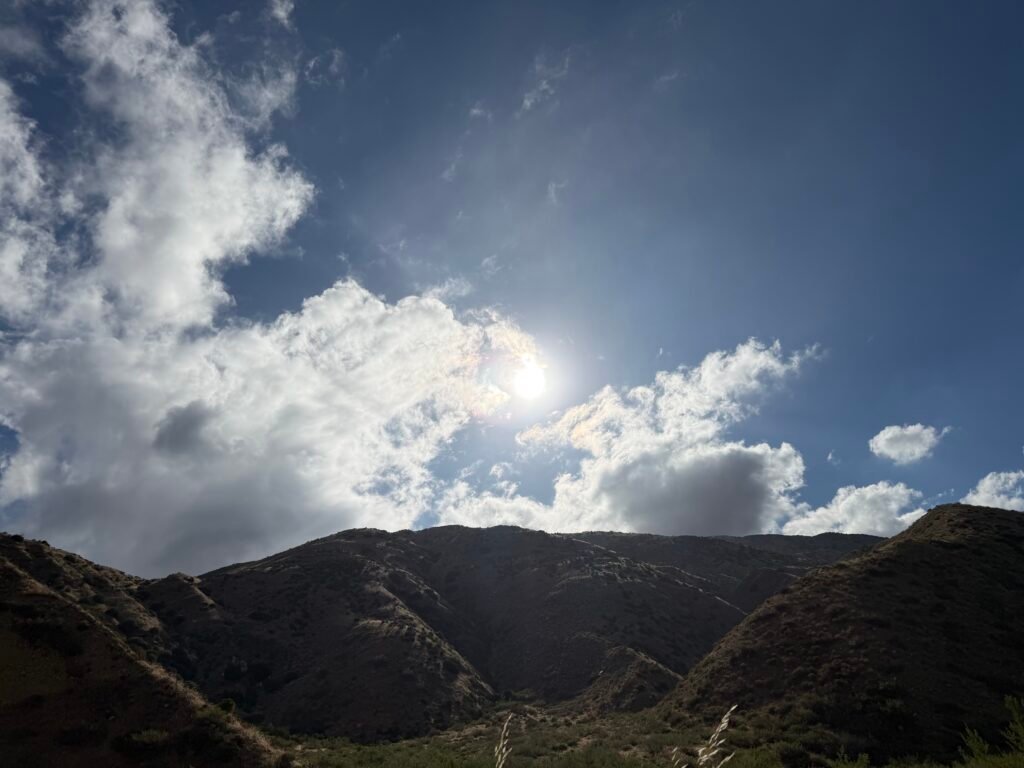
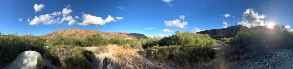
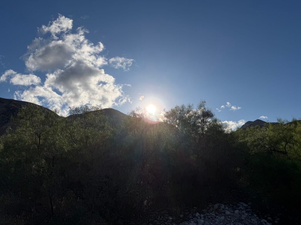
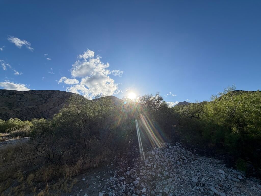
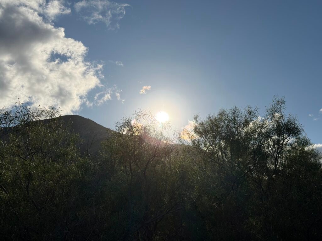
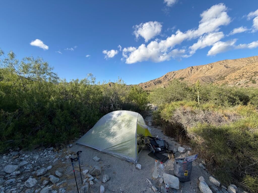
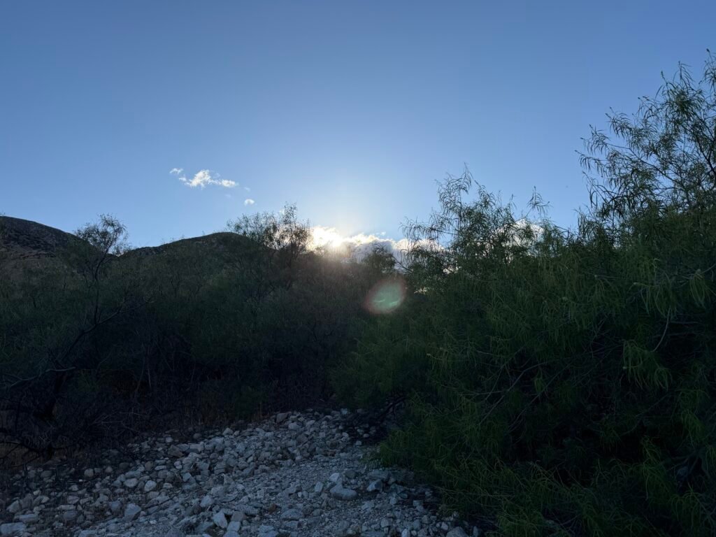
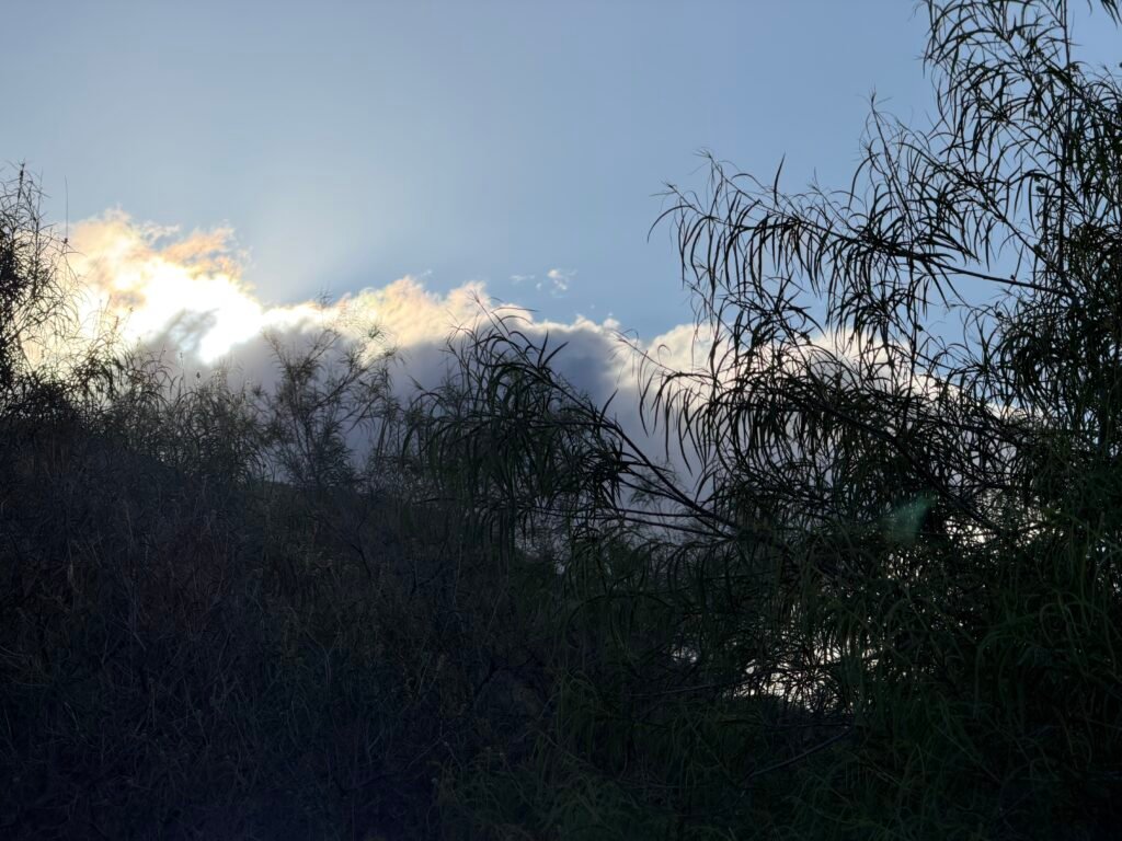
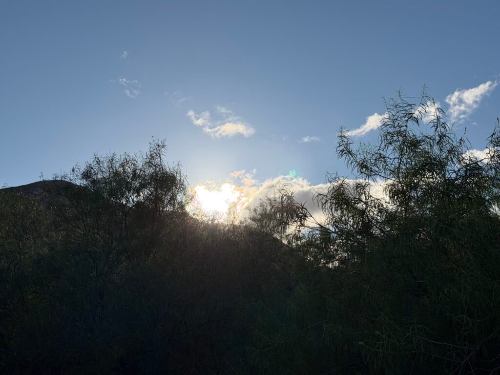
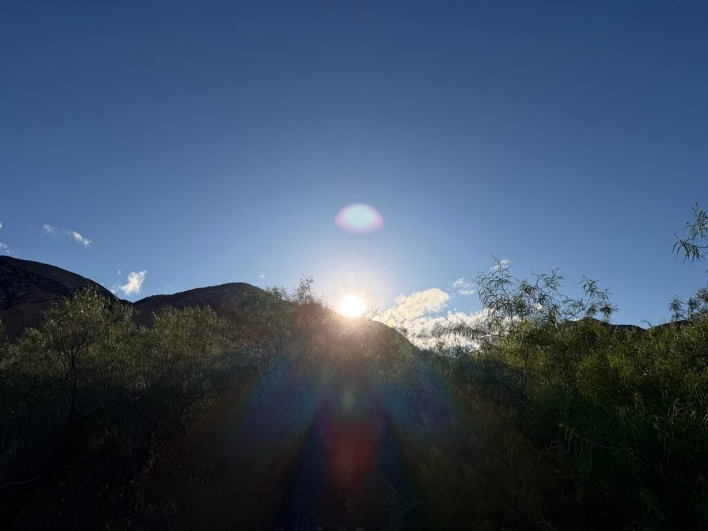
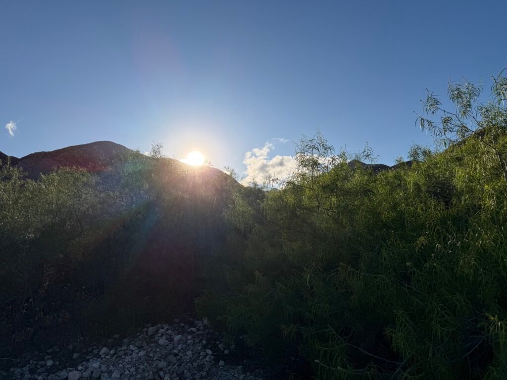
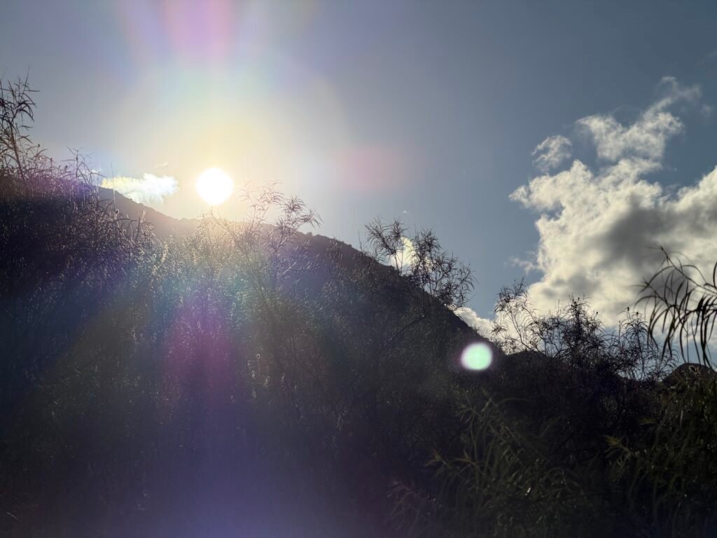
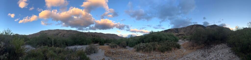
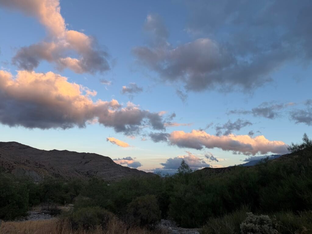
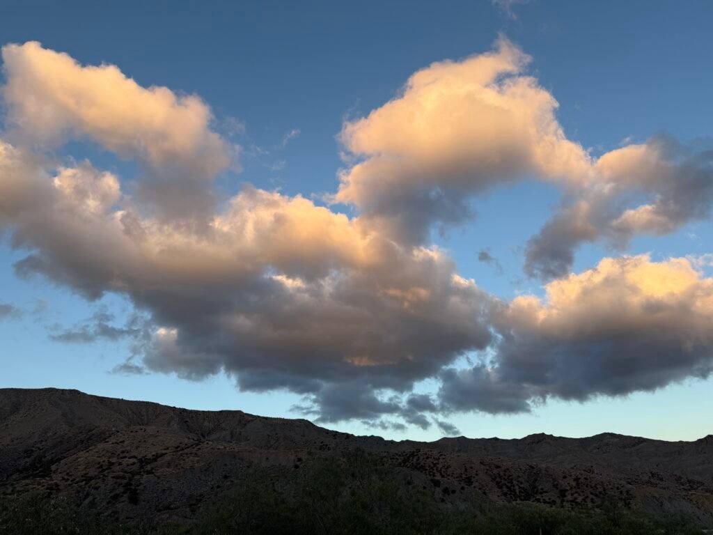
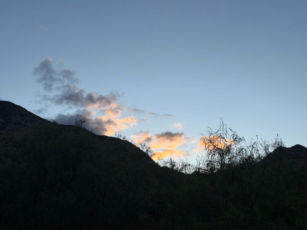
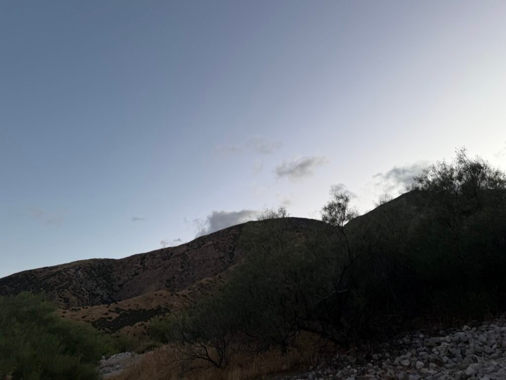
It was getting late as I descended into the basin, so I was looking for a good place to camp. I found one tucked into some bushes that would shield me from the strong wind blowing down the basin.
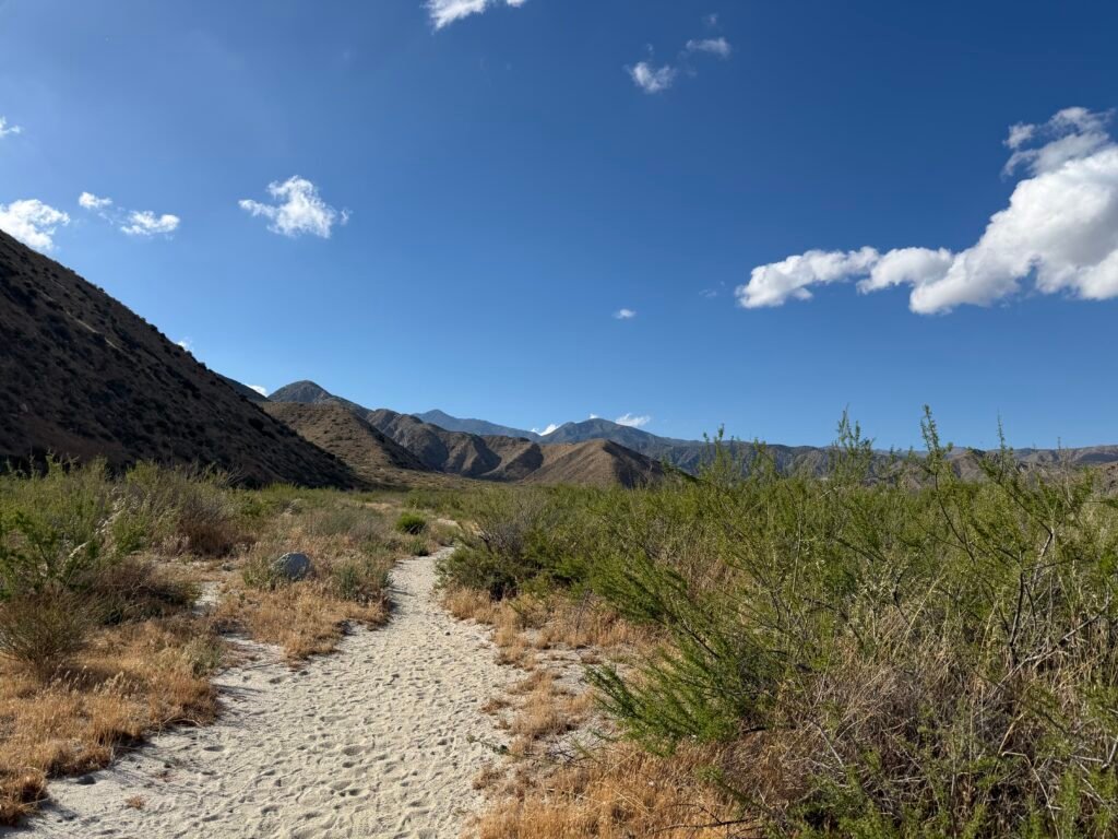
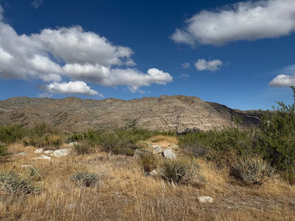

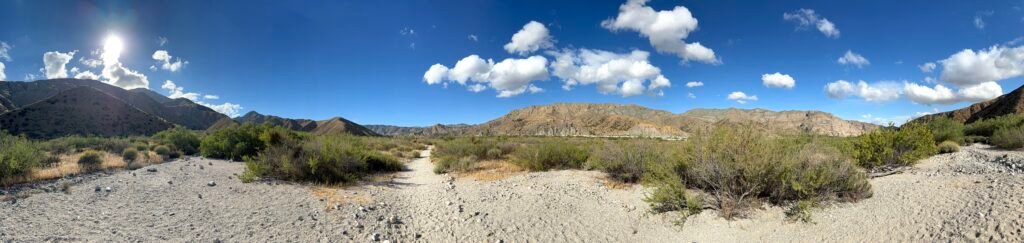
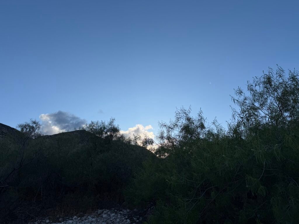
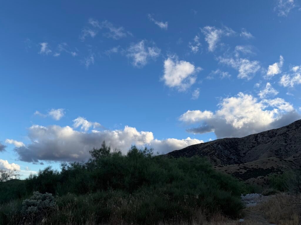
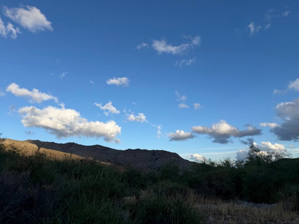
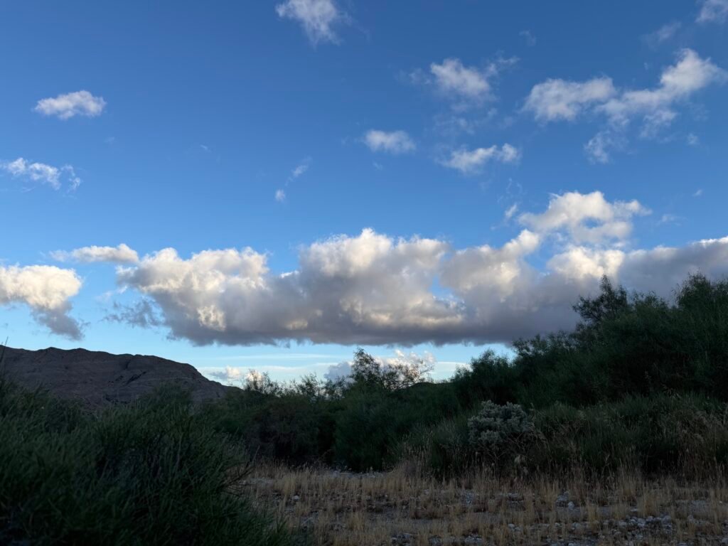
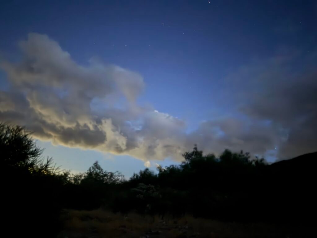
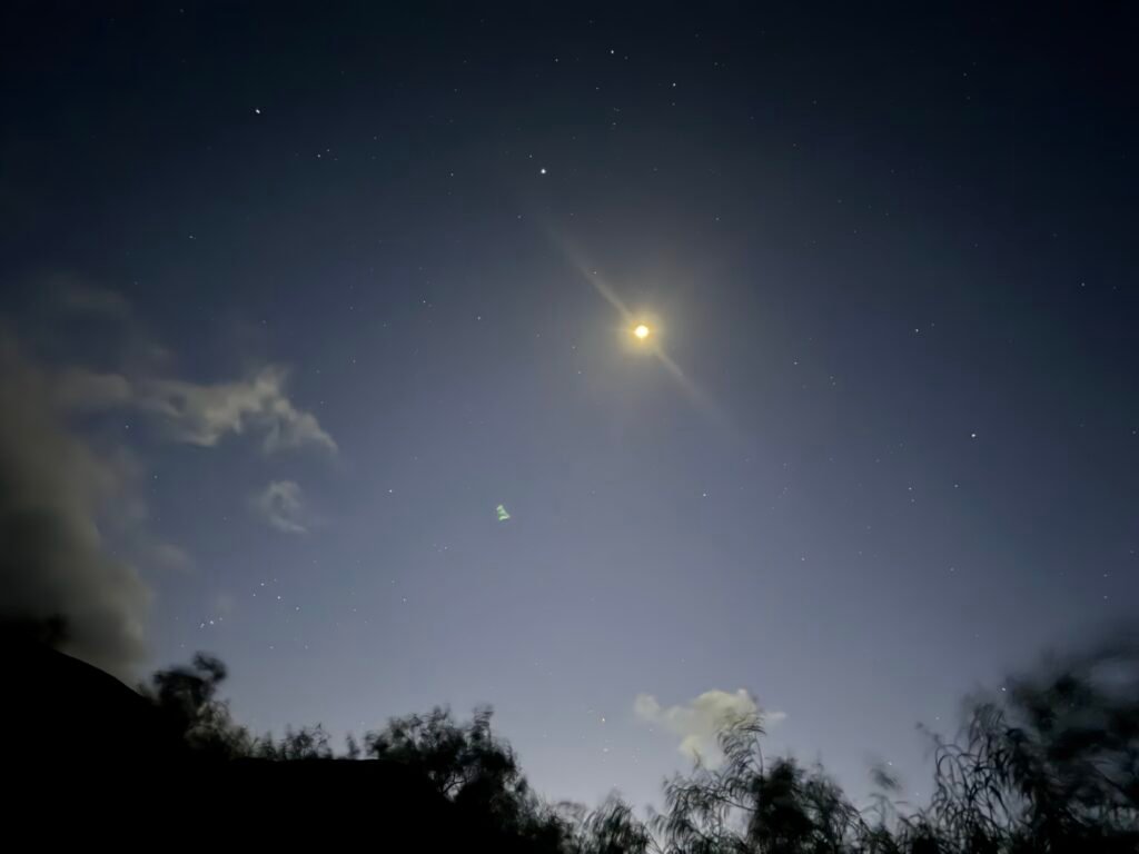
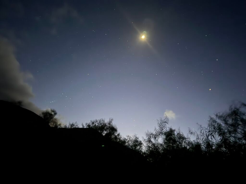
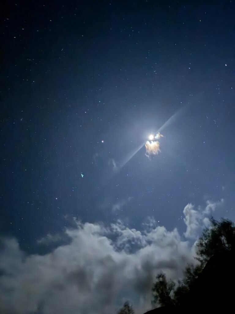
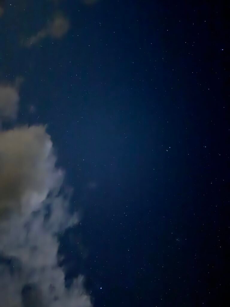
Tomorrow would bring the Mission Creek drainage area that was destroyed heavily in 2024. It would be quite a challenge to get through that area in one piece.

Mile 209.5 to 219.5 – 10 miles total hiked on the PCT
PCT 2026 Day 21 Photos and Movies

Flickr collection of all PCT 2026 Photos and Movies, Organized by Trail Day: https://www.flickr.com/photos/wanderingjim/collections/72157727360883240



Comments by WanderingJim
PCT Mile 1528 and then…
"Yes, got home safe, but got trail sick and wanted to get..."
PCT DAY 85 – CA Section H
"No cell service in many parts of the PCT. Not dead yet."
PCT or BUST!
"Yes, I’ll be going through there by early August"
JMT 2020 Day 3
"I'm afraid I have no idea. Not really a fisherman, so don't..."
JMT 2020 Trek Day by Day
"Yeah, but with 9,000 pictures, it's hard to label each one..."