
Thursday, April 23, 2026
The goal for this day was pretty much the same as the day before:
Navigate my way trough the destroyed section of Mission Creek.
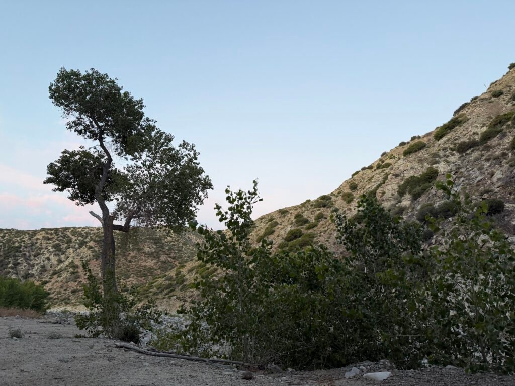
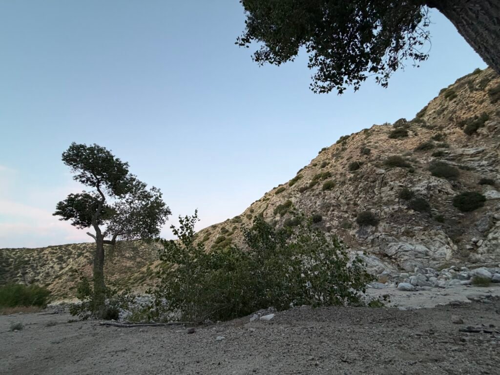
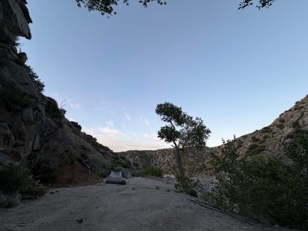
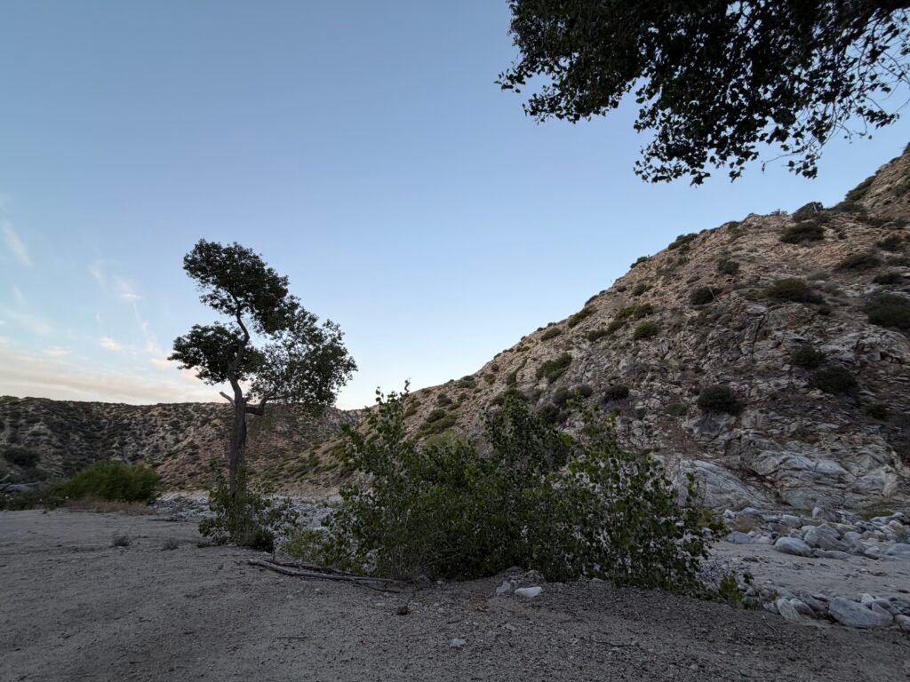

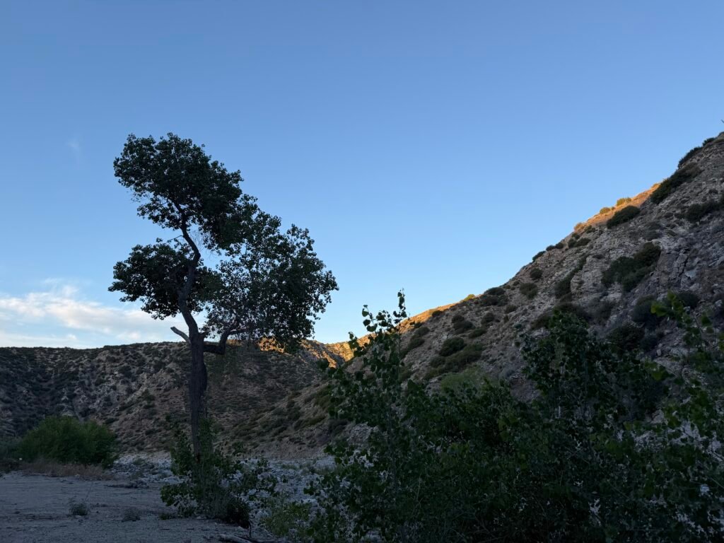
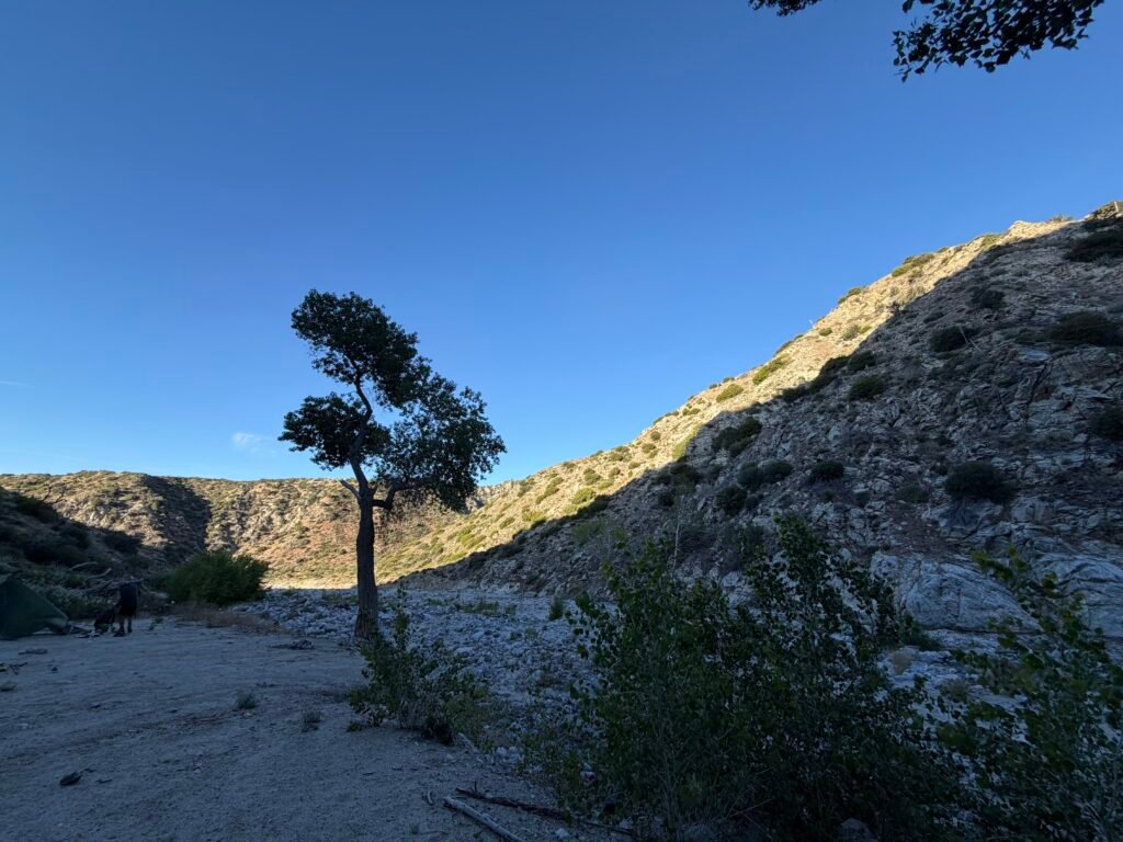
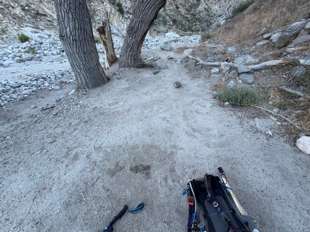
The day started with not much of a path to follow, so I relied on my downloaded track, information from other hikers, and wits.

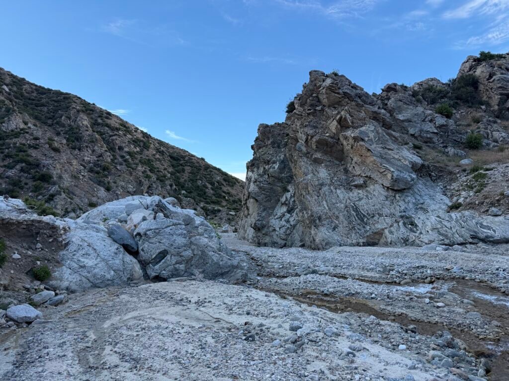
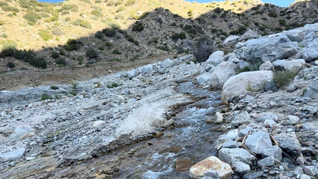
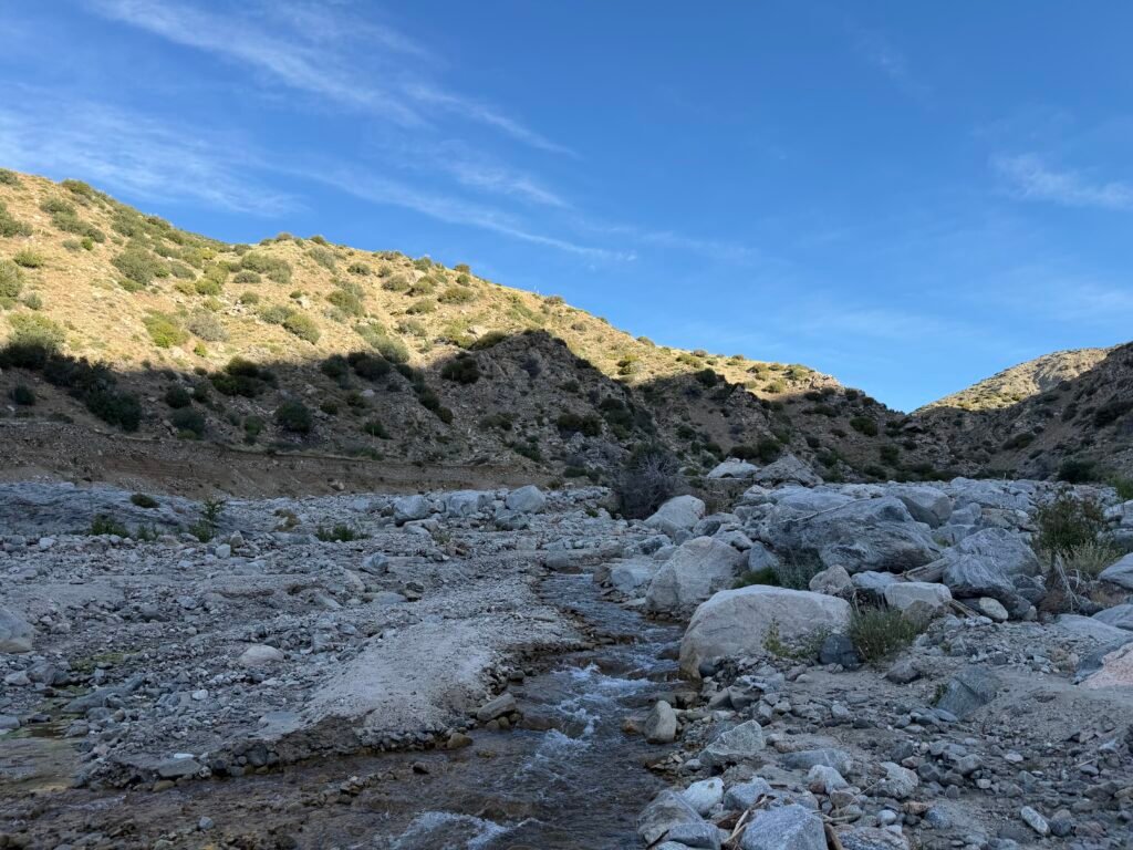
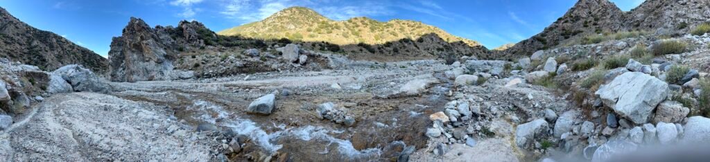

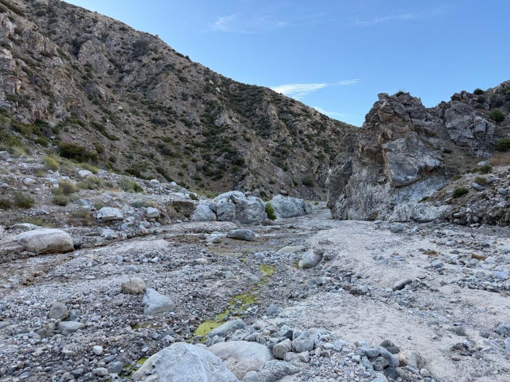

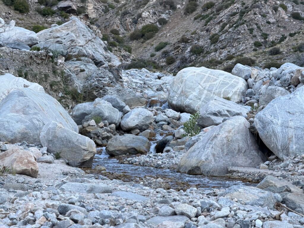
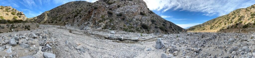

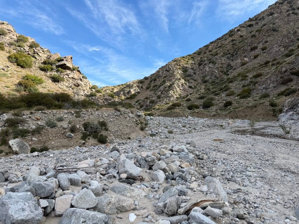
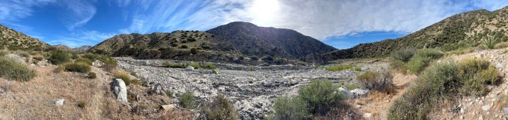
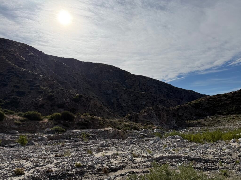
Even when there was a path to follow it sometimes ended suddenly or turned out to be the wrong trail.
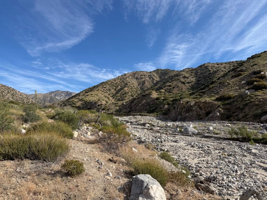
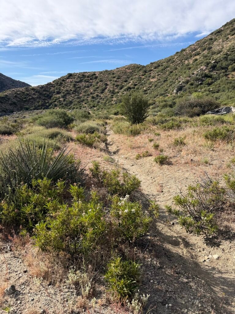
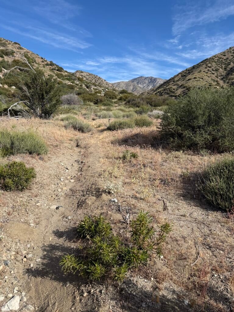
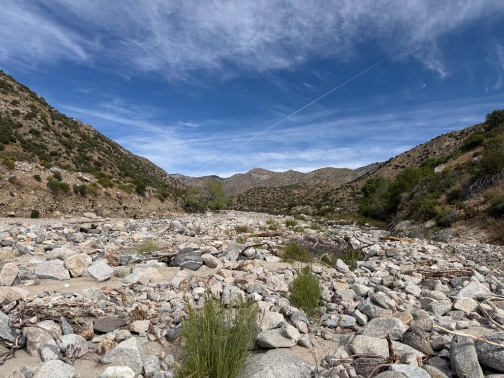
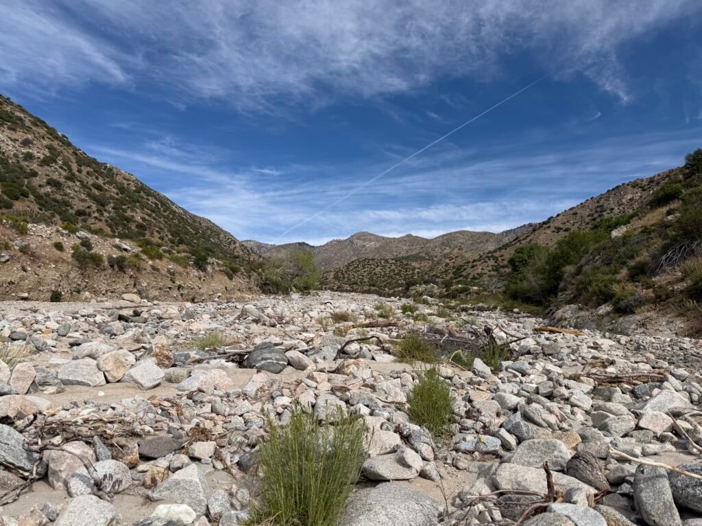
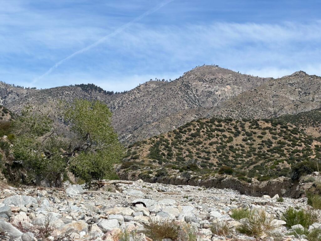

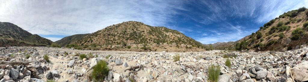
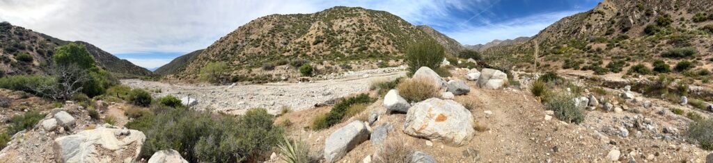
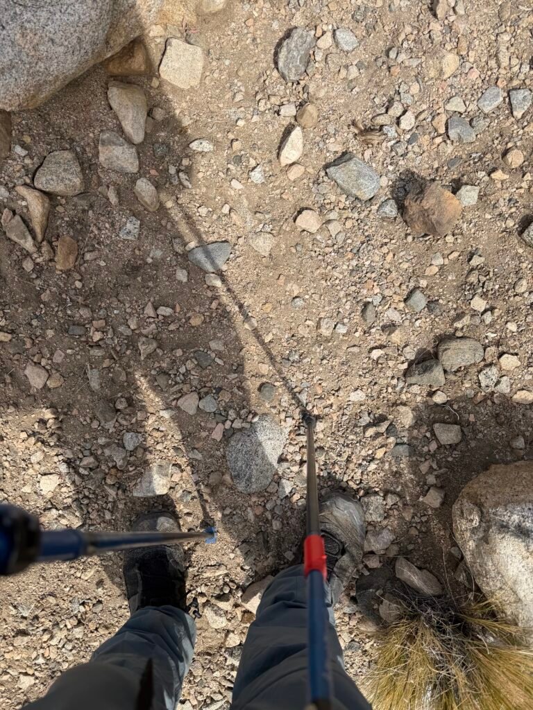
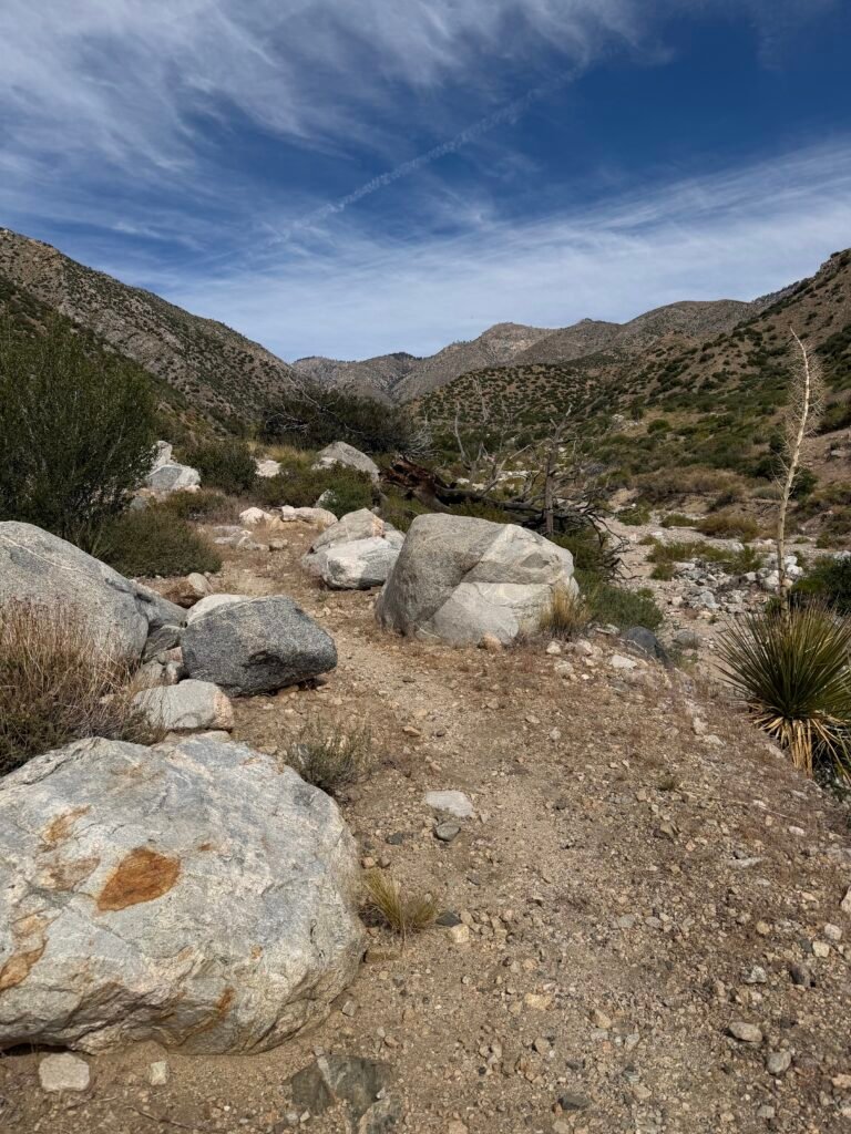
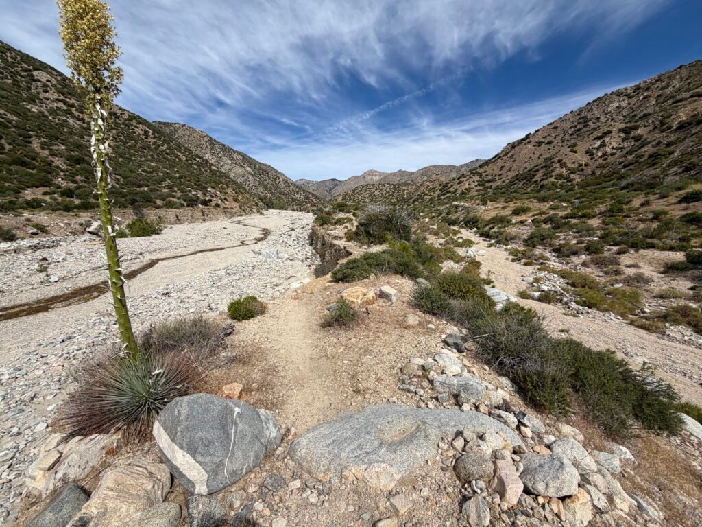
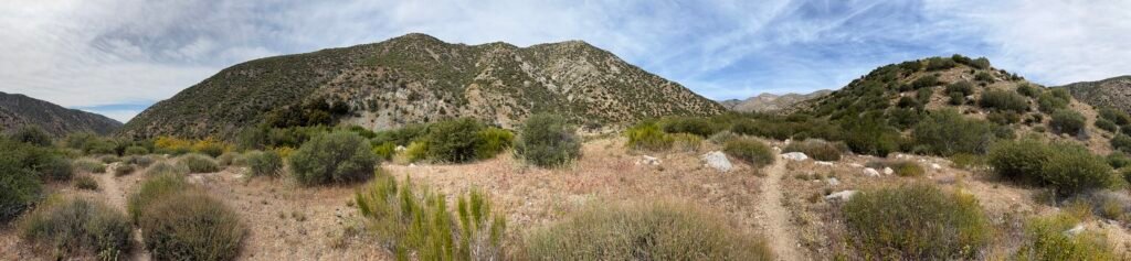
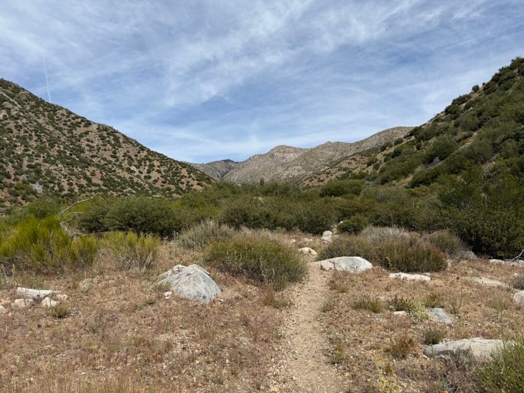


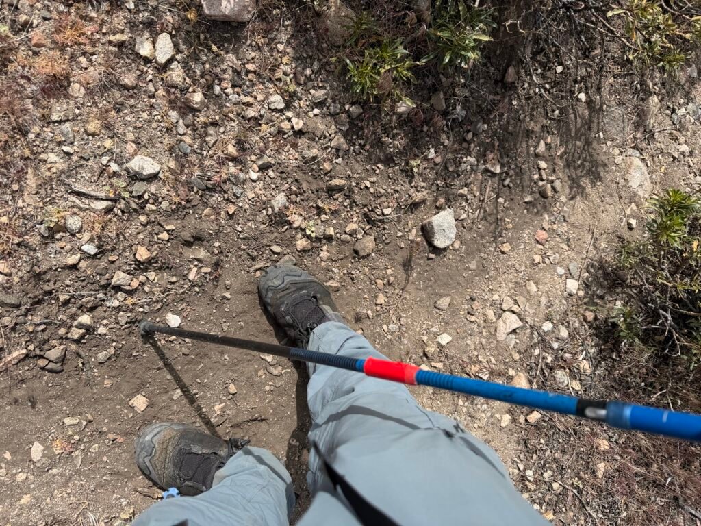

Eventually, I got to a very long section of the original PCT that still existed, but there were still some occasional trail repairs or detours to get around small areas that were destroyed.
But the info I had showed there would be another long destroyed area that I would have to navigate before I reached my camp for the night.
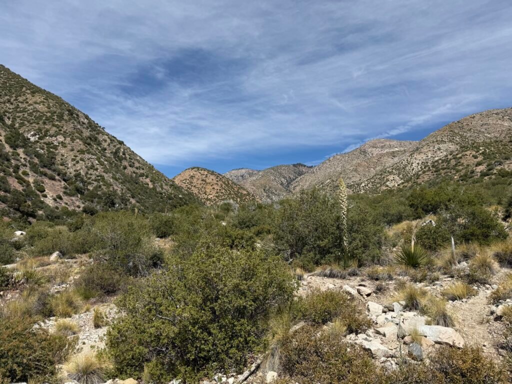
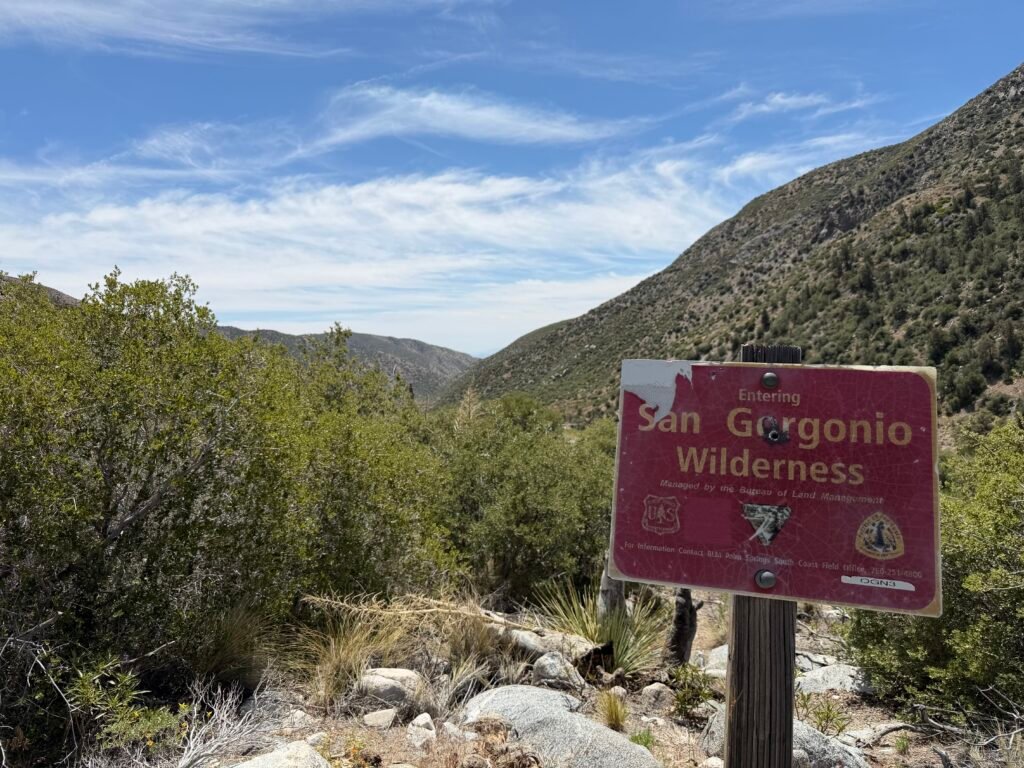
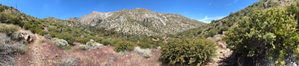
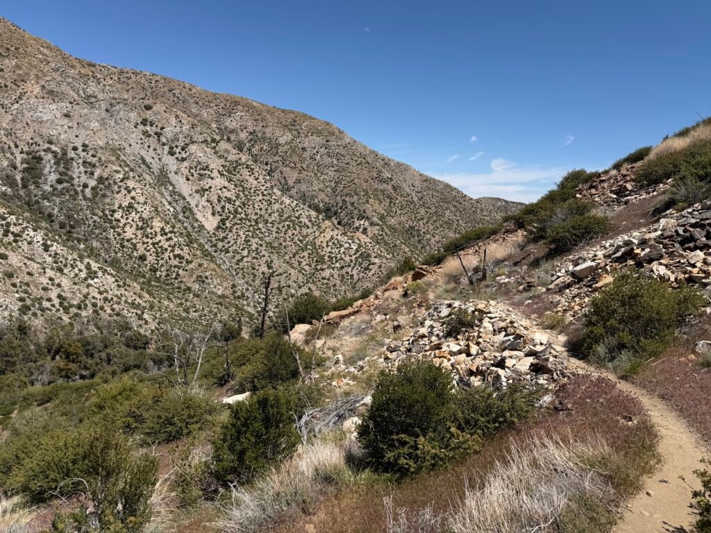


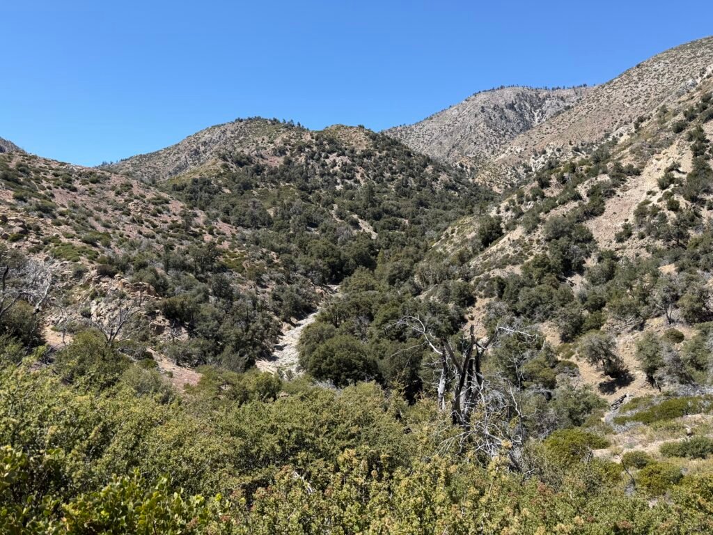
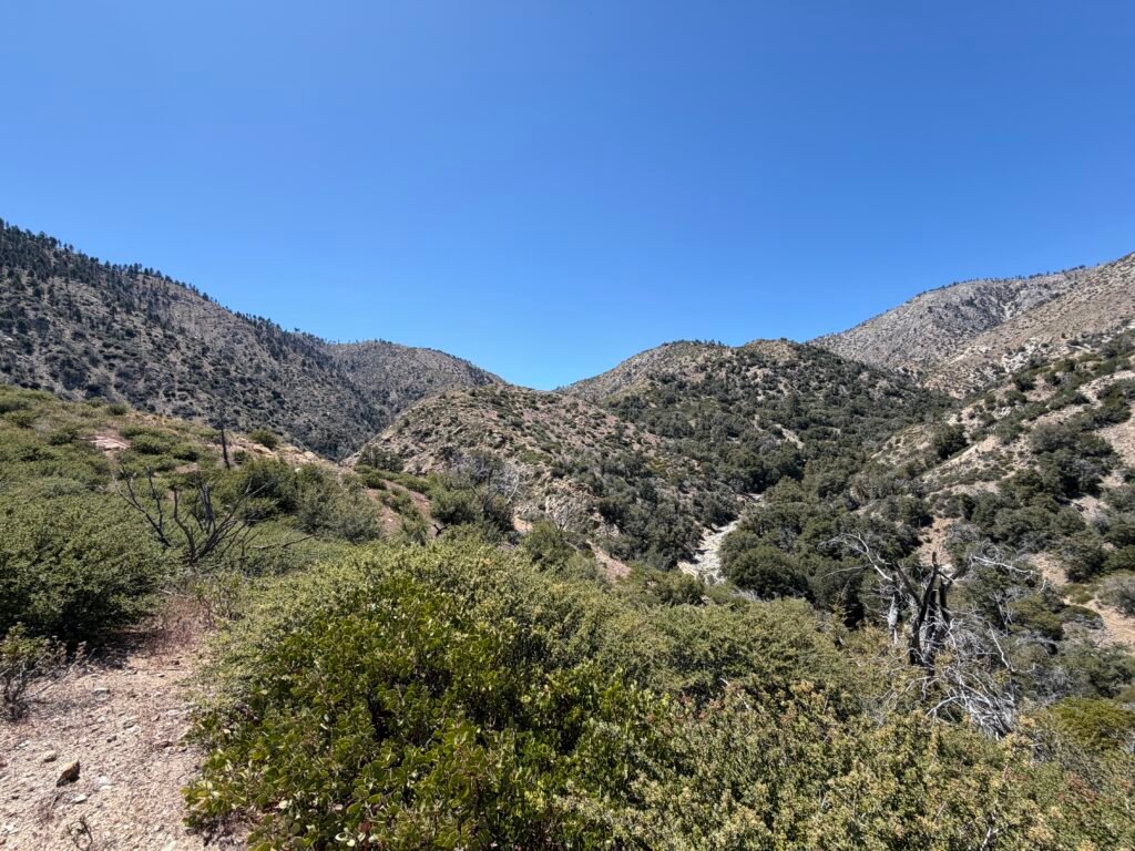
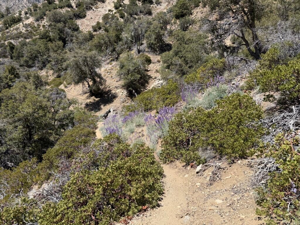
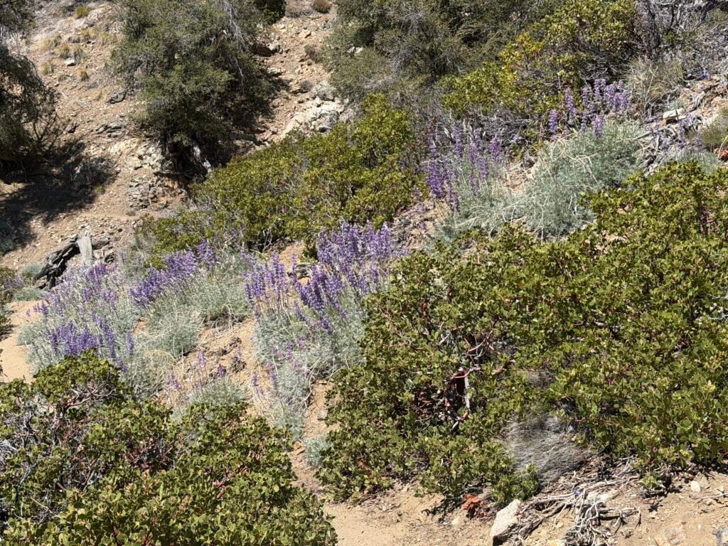

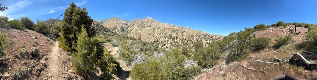
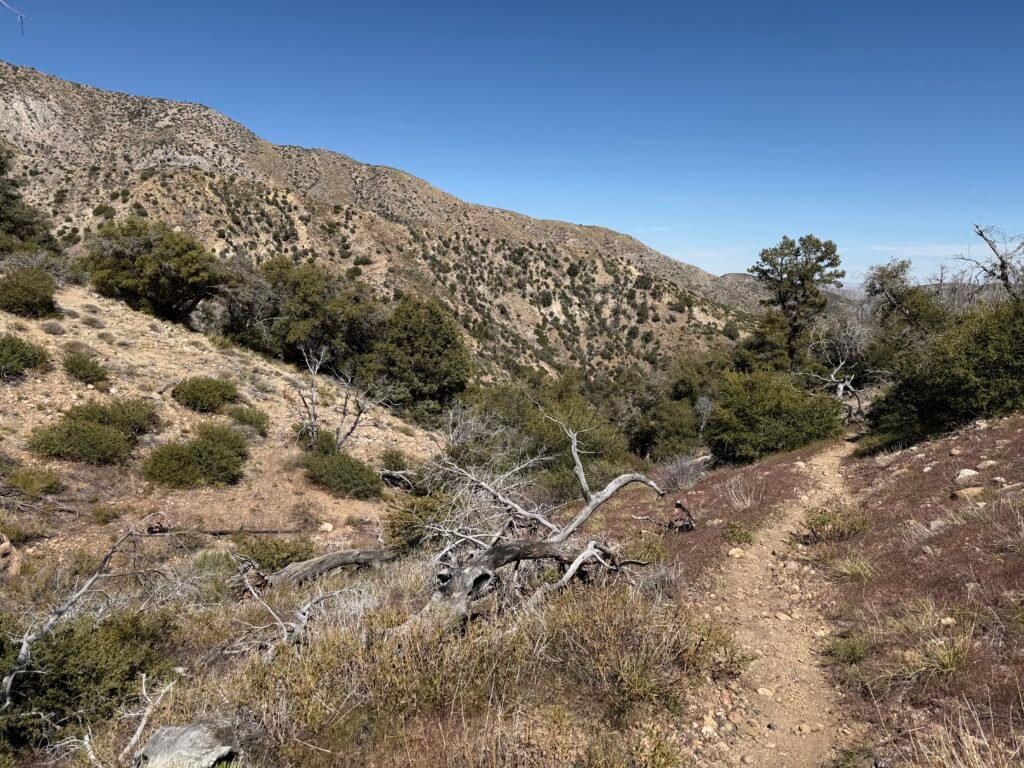
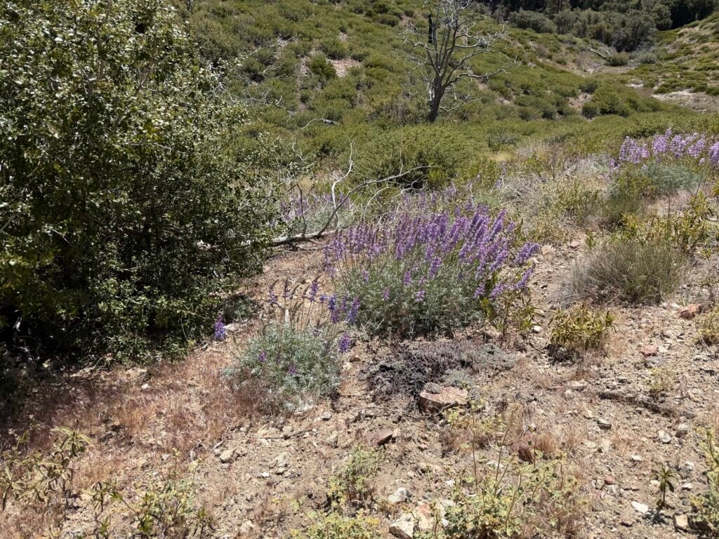
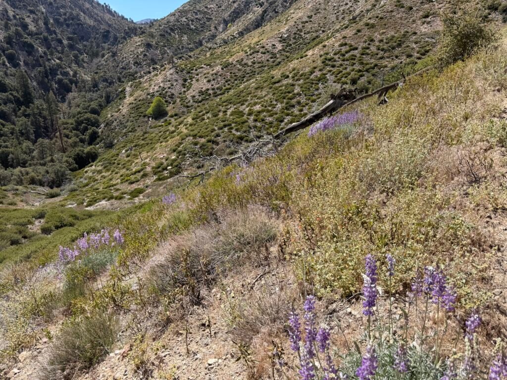
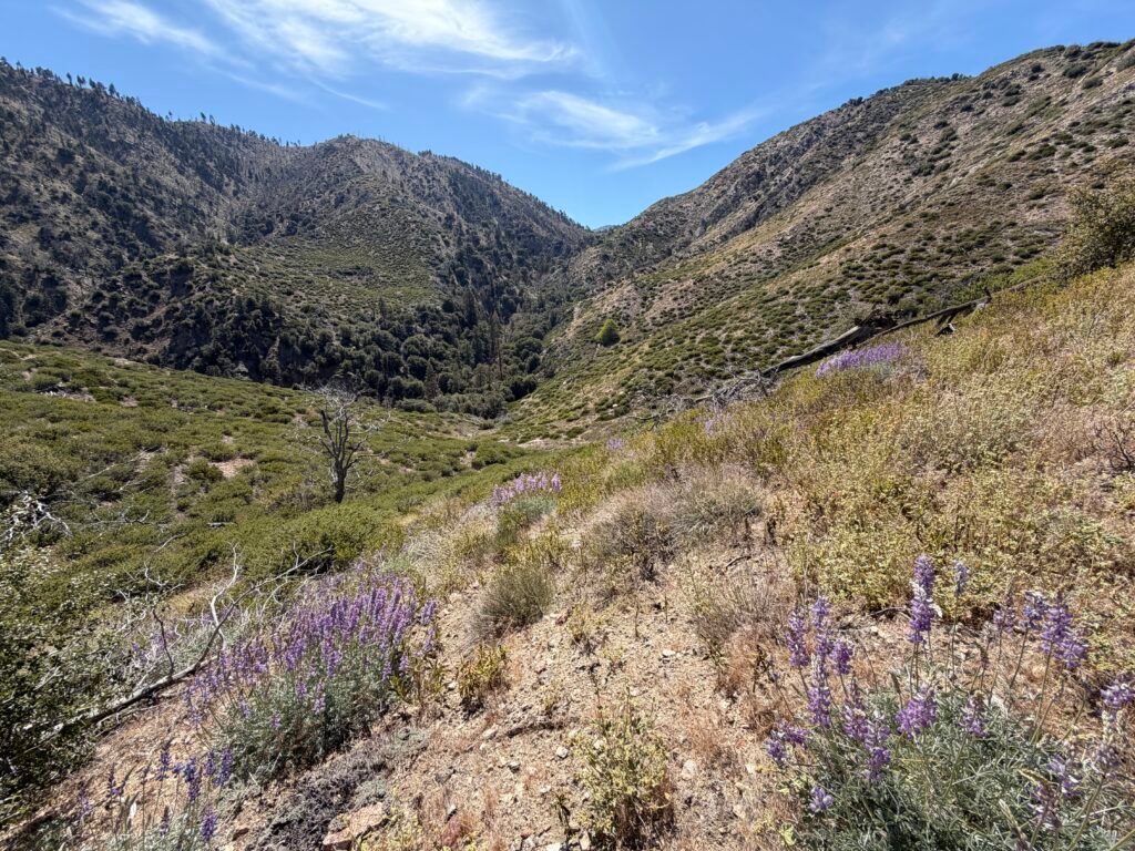

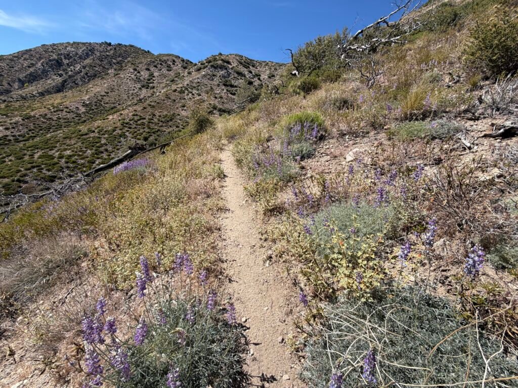
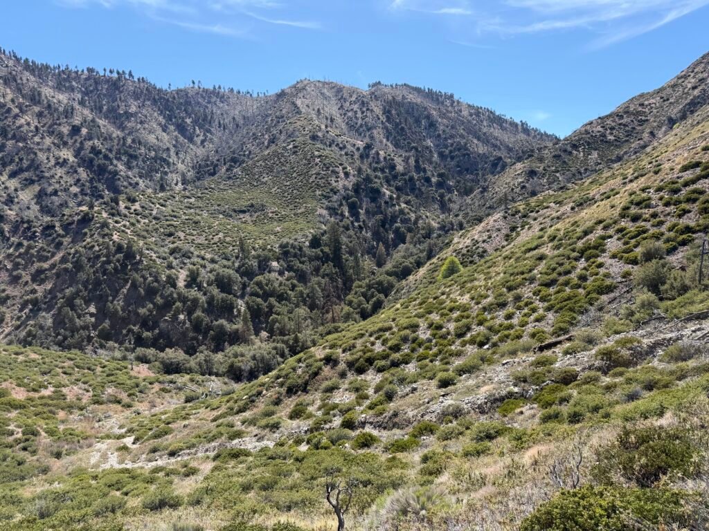


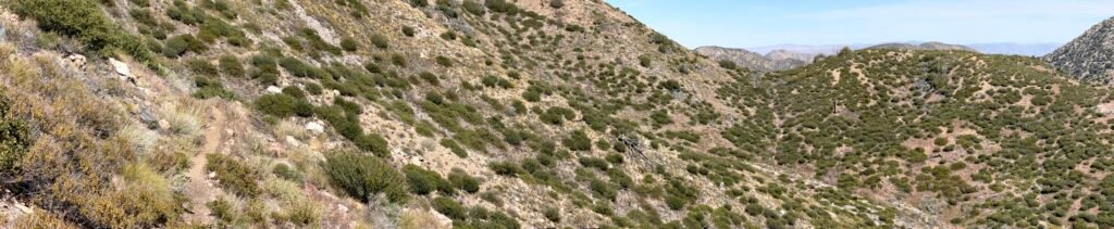
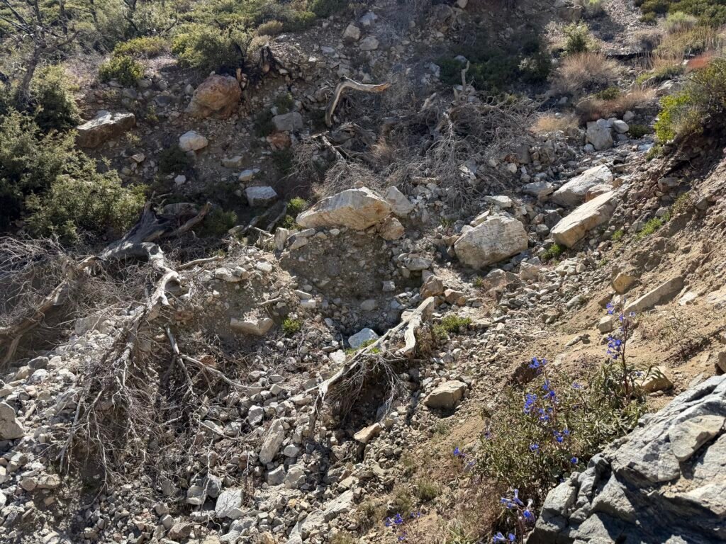
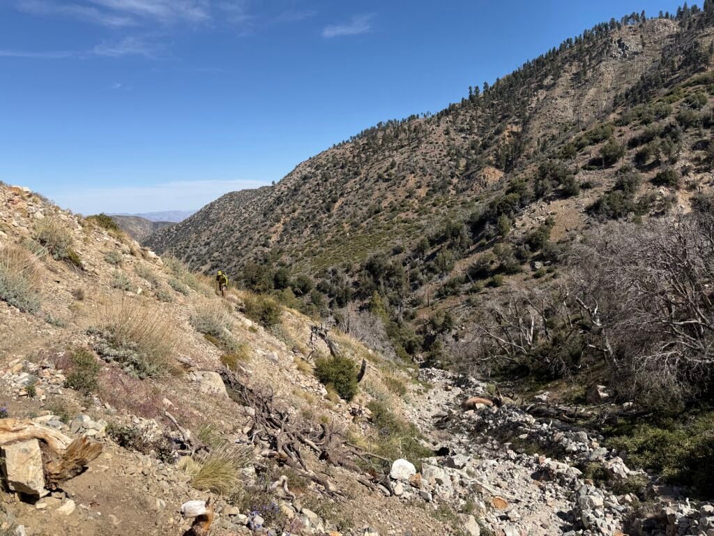
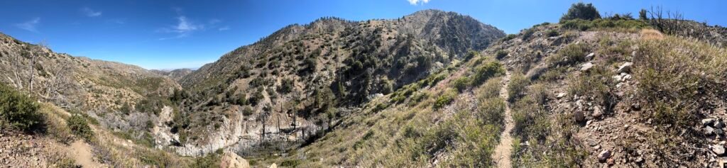
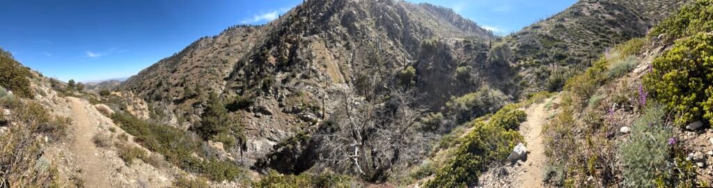
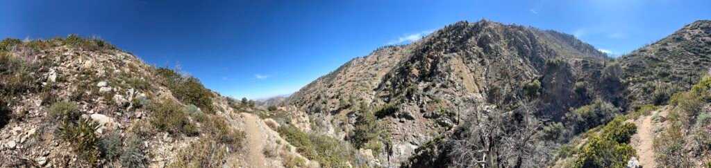
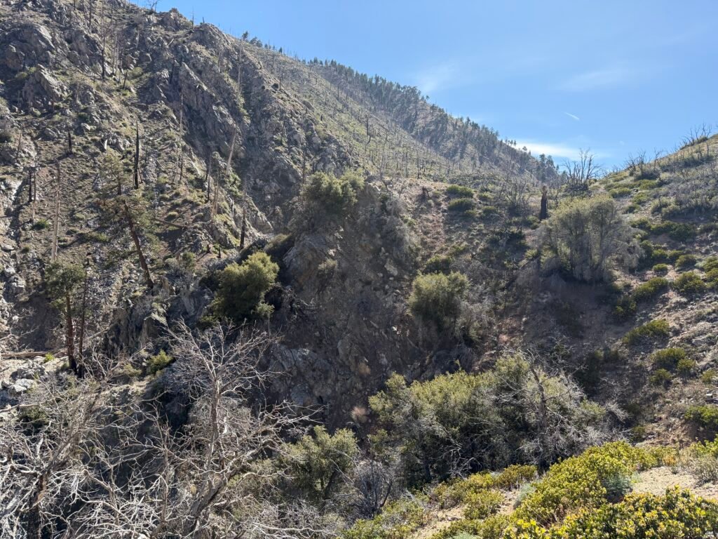

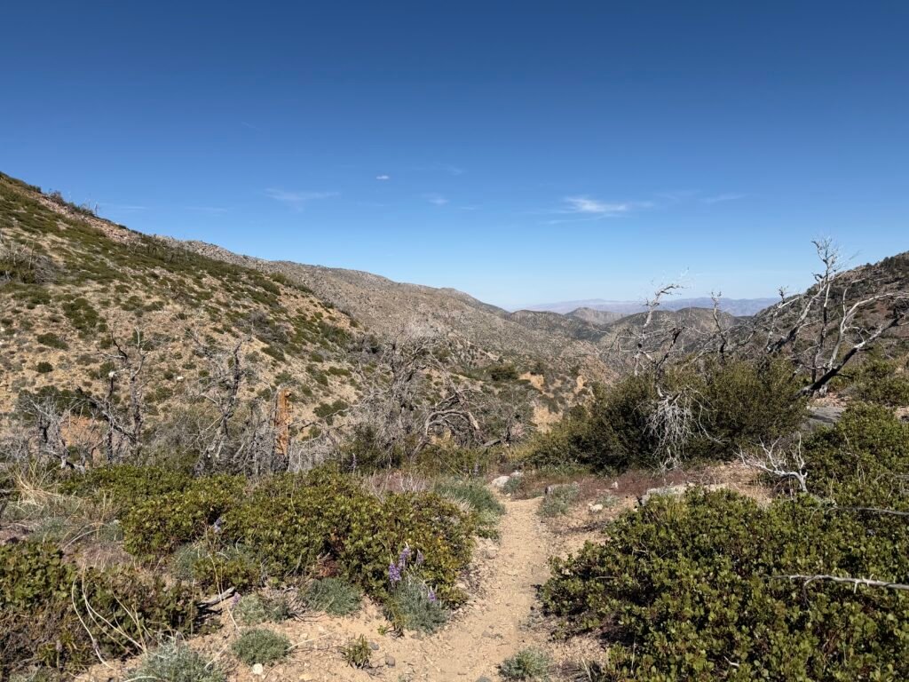
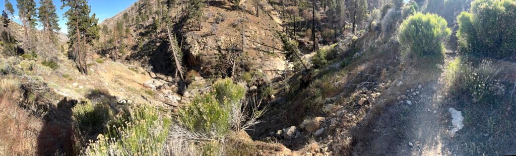
As the pictures below show, it was quite a sight from above and wasn’t any better when I had to descend into the chaos and find my way through it.
I actually couldn’t follow the track I had been following two closely this time. Things must’ve changed since it was made since some of the track didn’t line up with the features that were there.
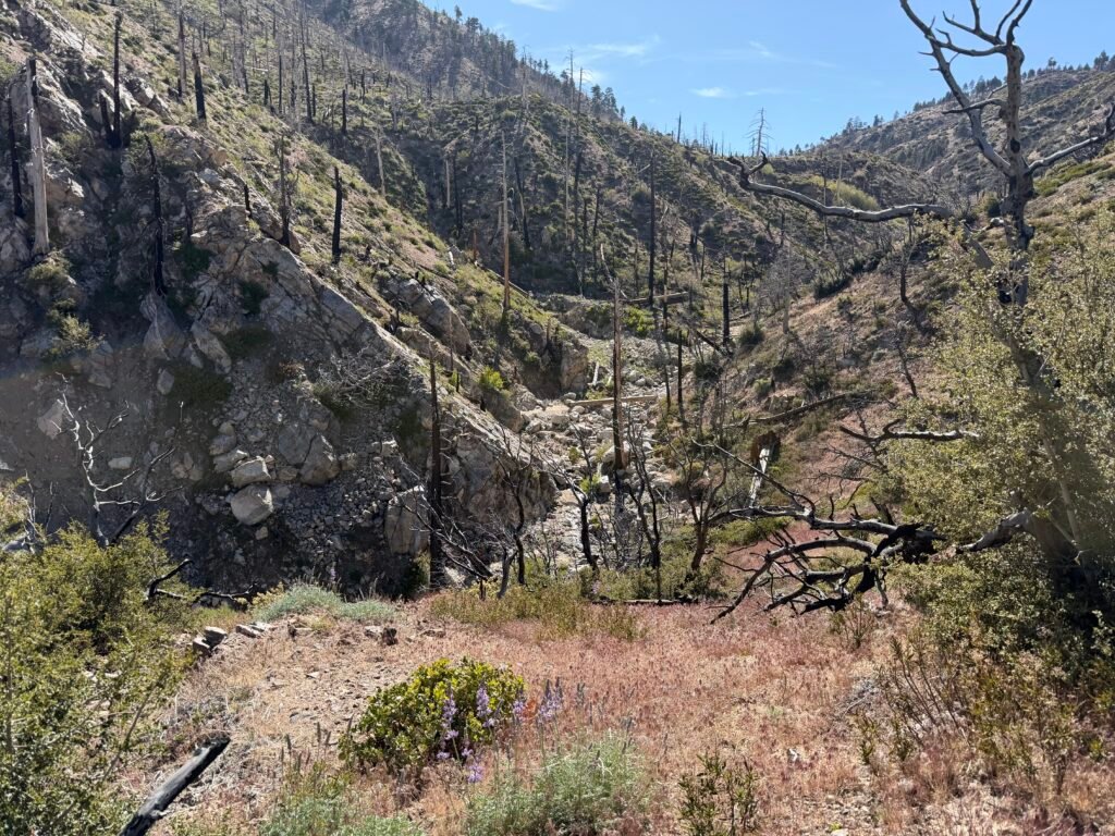
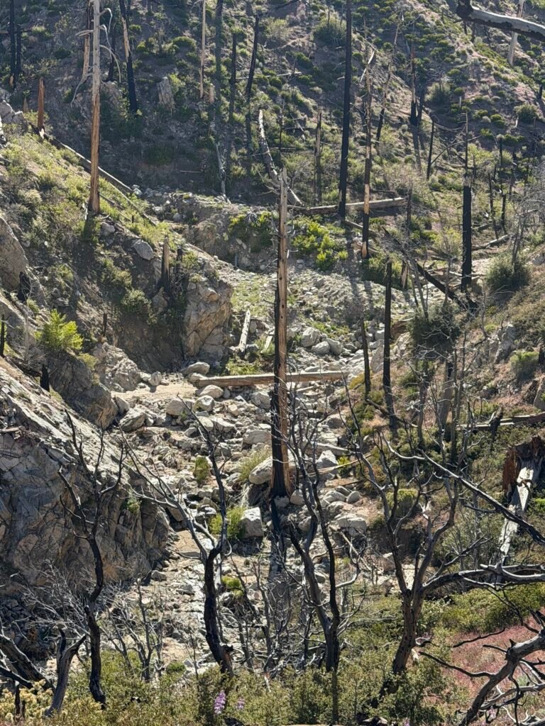
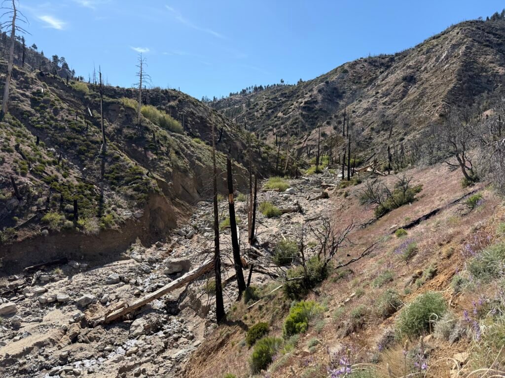

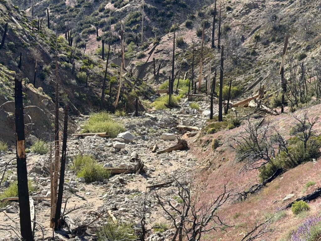
I finally left the jumble of rocks, sand, dirt, and various trees in any number of conditions and orientation. I felt relief and satisfaction that I had managed to make my way through this very complicated maze over the last two days.

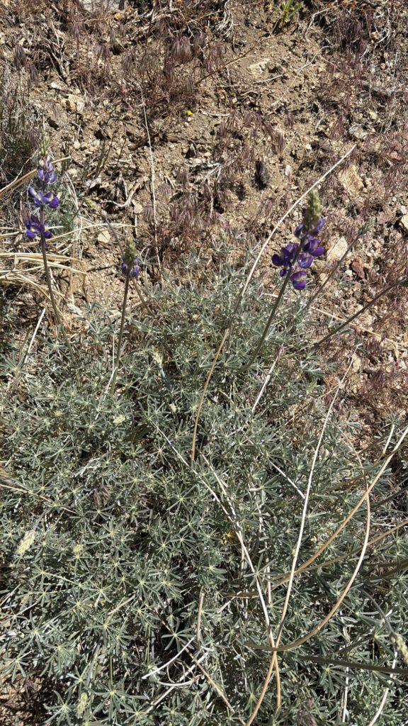
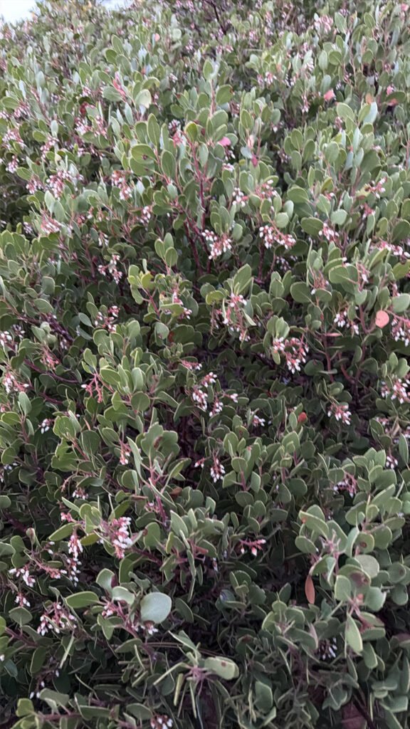


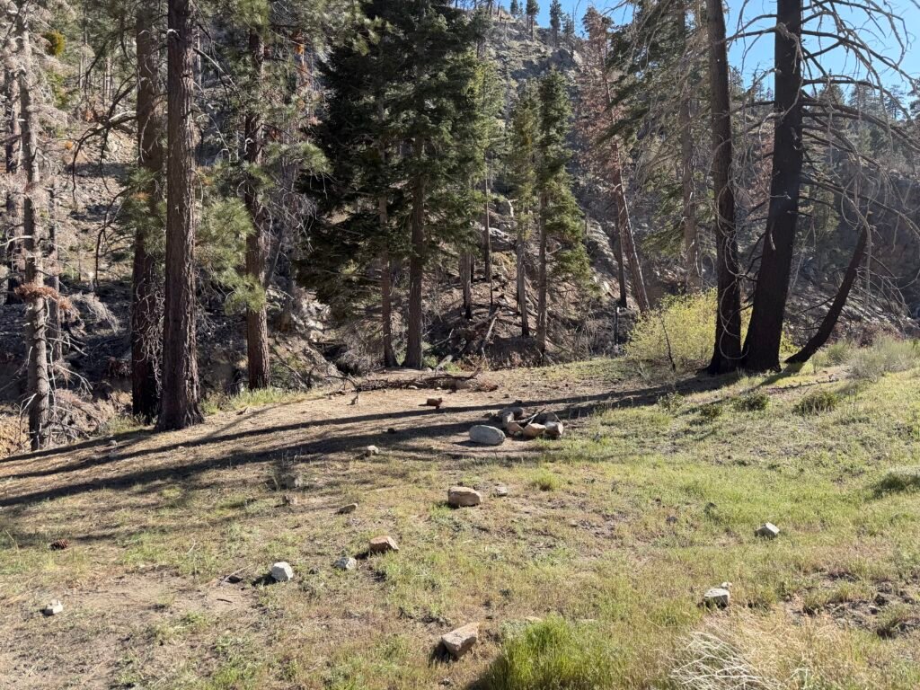


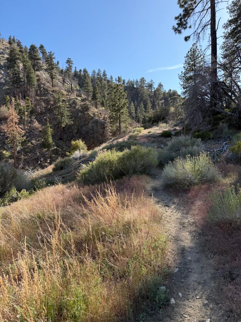
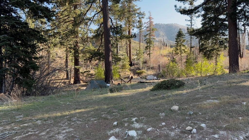
I ended up camping at Mission Creek campground. At that point it gave me what I needed: A place to sleep, to eat, and to get water. The next water source on the trail was 16 miles. Quite the change from the last two days when I had a creek running through my improvised trail.
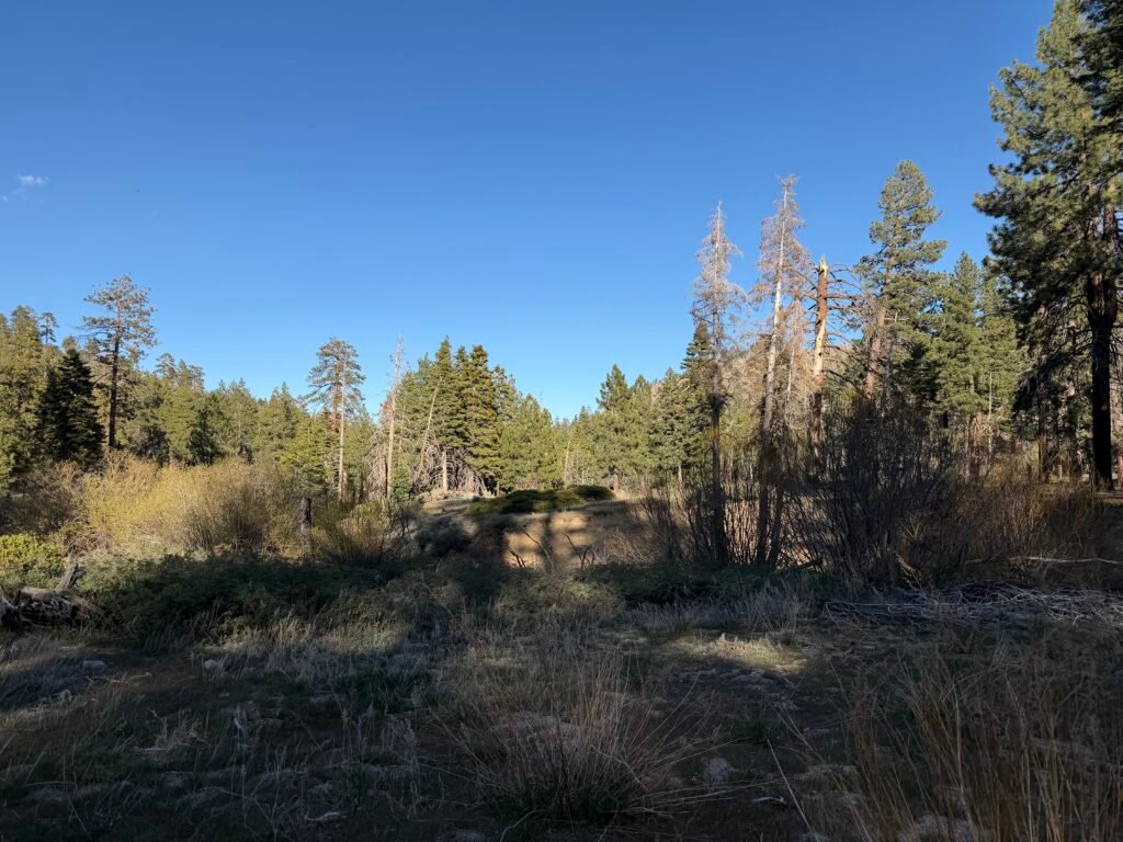


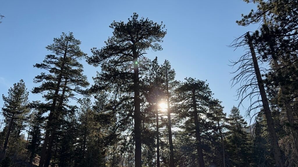


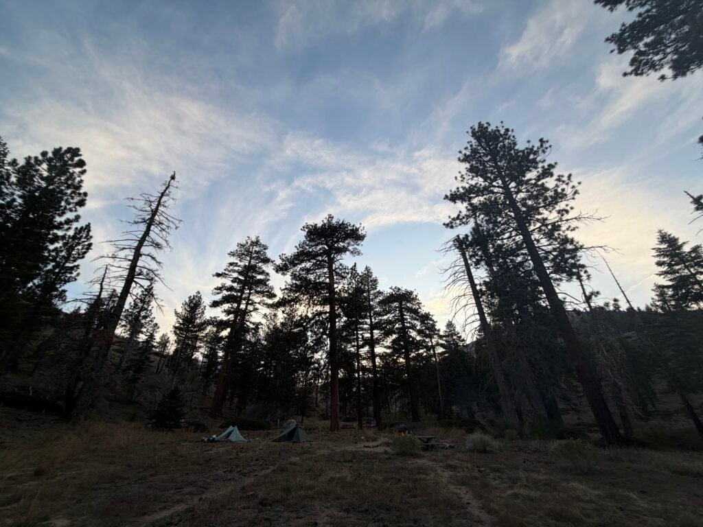
Below you will find screenshots of the map I navigated. The satellite images are from BEFORE the destruction.
BLUE is the original path of the PCT trail.
RED is the track of the person who had navigated this area in March and was my primary reference for making it through this area. Naturally, I skipped the dead ends and other false trails that hiker found by trial and error.
GREEN is the track that I actually took during my hike.
Of course, I had my own trial and errors as I made my way through here.
For those interested there are the GPX files for these two days of navigating the Mission Creek area:


Mile 230.2 to 239.9 – 9.7 miles total hiked on the PCT
PCT 2026 Day 23 Photos and Movies

Flickr collection of all PCT 2026 Photos and Movies, Organized by Trail Day: https://www.flickr.com/photos/wanderingjim/collections/72157727360883240


Comments by WanderingJim
PCT Mile 1528 and then…
"Yes, got home safe, but got trail sick and wanted to get..."
PCT DAY 85 – CA Section H
"No cell service in many parts of the PCT. Not dead yet."
PCT or BUST!
"Yes, I’ll be going through there by early August"
JMT 2020 Day 3
"I'm afraid I have no idea. Not really a fisherman, so don't..."
JMT 2020 Trek Day by Day
"Yeah, but with 9,000 pictures, it's hard to label each one..."