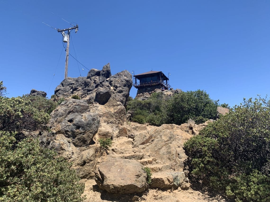
Having finished hiking all the trails at Mt Diablo the previous weekend and with some of the stay at home restrictions loosing up, I decided I needed a change of view so headed over to Stinson Beach to tackle Mt Tamalpais for the first time this year.
I started from the town and hiked up the Matt Davis Trail. A pleasant hike through a forest, with the occasional glimpses of the nearby Pacific Ocean. The only bad thing about this part of the hike is the 2,000 foot climb up to the Rock Springs area. Since the East Peak of Mt Tamalpais is only 2,571 feet high, this is the brunt of the climb when you go from sea level to the East Peak.
Its also not quite half of the 7 mile distance, so while it’s a grueling climb, at least it feels good to get over the hardest part. But this does make the remaining hike seem a bit long. I did a route over the Mountain Top Trail and the Middle Peak Trail to reach the East peak in just under 4 hours.
I’ve done this hike many times before, but it was a special treat to get to the coast and see some different scenery for the first time in 4 months (except for my Mt Shasta attempt).
After relaxing at the top for a quick lunch, I started down. I decided to take the Old Railroad Grade Road down to the West Point Inn instead of the Fern Creek Trail as I usually do. Not only was it not as steep, it also was wider so I could keep my distance from the other hikers.
After hitting Pantoll, I descended via the Steep Ravine Trail. Unfortunately, there were quite a few people descending and climbing this trail so I had to wear my mask a lot and step aside often. Maybe I should have gone down the Lower Old Mine Road to the Dipsea Trail instead to avoid the crowds, but nothing I could do about that decision now.
Back at my Jeep, I celebrated my 14 mile hike as I drove home.
A nice warmup for my Yosemite trek over the 4th for July weekend: Clouds Rest, Half Dome, Echo Creek, and Sunrise Lakes. Again, first trip of the year to Yosemite. Onward and upward!


Comments by WanderingJim
JMT 2020 Day 3
"I'm afraid I have no idea. Not really a fisherman, so don't..."
JMT 2020 Trek Day by Day
"Yeah, but with 9,000 pictures, it's hard to label each one..."
Kilimanjaro – October 2019
"Everest Base camp is on my list too. Mostly since I know..."
Kilimanjaro
"You started hiking with Kilimanjaro first? Even I worked my..."