In a sense, a lot of the planning for this possible trek was already done. I had tried to do the PCT Section G last year, but failed. I also already had info and first foot knowledge of the continuation from the north end of section G (Mt Whitney and the JMT that makes up most of PCT Section H).
So, all I really had to do was fix my mistakes and move forward.
First, I’d start in late June to avoid the high heat of August. That late start in 2023 was only due to the extreme winter we had that year which led to snow blocking the higher elevation trails well into August (and beyond). 2024 was a mostly normal snow year, so starting earlier shouldn’t be an issue (but you never know).
For my water issues, I decided I had to take more water and decided on 7 liters (vs the 4 from last year). I’d also have to watch closer for any signs of leaks.
I had been going back and forth between a pre-dawn start from Walker Pass or a late afternoon start to avoid the mid-day heat. I ended up deciding on the late afternoon start. That’d allow me to make the first day a short one and would be easier to arrange a ride to the trailhead (BLM wouldn’t let me keep my Jeep at Walker Pass Campground more than 2 weeks).
So, then I had to figure out how to carry 7 liters of water. 1 liter of water is a little over 2 pounds. 7 liters would be 15 and a half pounds. That’s a lot of weight to carry 12 miles to the first water source on section G of the PCT. There would also be two other 10 mile water-less stretches to deal with.
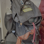
So, I had to cut down the weight of the rest of my pack. I had already gotten a 1 pound air mattress to replace my old leaky 2 pound one. I also decided to get a new lighter sleeping bag. I looked for a lighter tent (since my old, well-used Big Agnes Fly Creek HV UL2 had become unreliable), but Iactually settled on a Big Agnes Tiger Wall UL2 that was a few ounces heavier.
Why? Well, it had side doors and vestibules that would be easier to get in and out of (the Fly Creek has a single door on the end of the tent that was harder and harder to crawl into as I aged). The dual doors would also let me see out on both sides of the tent for when I have more than a single good view (which were not so surprisingly common during my hikes).
I’d take just the bare necessities for clothing and food for this first part from Walker Pass to Kennedy Meadows. And I’d count every ounce for everything left. Some, (but not all) of my changes:
- Not taking my Osprey Exos 58 ‘brain’ attachment (-3 oz)
- Not taking my solar charger on the first leg (-2.5 lbs) and relying on backup batteries only (approx +1.25 lbs)
- Whittling down my first aid and gear repair packs to the bear minimum and putting them in zip lock bags instead of heavier dry bags (-2.5oz)
- Getting lightweight squeeze bags for my sun screen to avoid carrying the heavier plastic bottles it comes in (-3oz and I got to take a little more sun lotion as part of the deal)
- Instead of four 1 liter water bottles (that also proved to be a bit prone to leaks during my preparations), got one durable 4 liter flexible water bottle (-3oz)
- Since a bear canister was not required from Walker Pass to Kennedy Meadows, I included that in my resupply shipped to Kennedy Meadows. I’d jsut have to keep my food close to me at all times.
- Getting a more durable ‘kitchen sink’ container I coudl use for washing myself and clothes. This replaced a slightly heavier 5 gallon ziplock bag I used on long treks since my JMT trek in 2020 and should last longer than the ziplock bags did. (-2 oz)
- Taking the foam covering the legs of my tripod (-2 oz)
- I even reduced the number and length of my charging cables (-2oz)
- Dropping my 3 spare AAA batteries that were only in my repair kit in case my headlamp rechargeable battery failed or ran out at the worse time. (-2 oz)
- Etc… every ounce was subject to re-evaluation.
Yeah, some of them were pretty slim savings, but they do add up.
I did decide to take my 12 oz water/camp shoes. I used them to avoid having to put my boots on at camp. That gave my feet some breathing room at the end of the day and for the occasional bush watering visits during the night. One of the few luxury items I kept.
In the end I got the loaded backpack down to about 33 pounds without water (pretty good for 6-7 days of food). With water, 48 pounds. While a lot to start with, it at least would gradually get lighter as I used water and food. It was about the same starting weight as the year before, but with more water.
I’d add the solar charger back using my Kennedy Meadows resupply bucket along with all the additional food, supplies, and other bits I’d need there to make it to Horseshoe Meadows for my next resupply.
Since I had decided to go all the way to Onion Valley for this trek, I’d need some extra food, supplies, Golden Oreos, and Diet Cokes to keep me going from there. Horseshoe meadows is only 2 miles off the PCT, so is a relatively easy resupply spot. I’d just have to drop the bucket off before I started my hike. Resupplying at Whitney Portal had permit issues and was about 16 miles round trip to get down and back to the JMT/Whitney Trail junction, so that wasn’t that good of a choice (I’d also be more likely to decide to end the trek there if I did use that option… temptations of civilization).
Since I kept threatening my legs and feet that I’d just keep going north on the PCT/JMT instead of stopping at Kearsarge Pass, I also sent a resupply bucket to Muir Trail Ranch and put together a bucket for resupplying at Kearsarge Pass/Onion Valley. At one point I was going to leave it with Berners Pack Station at Onion Valley so I could either resupply at Onion Valley or have them pack it out with a mule team. But in the end I decided I’d need a Zero Day at that point and just left it with a hotel in Lone Pine.
I’d leave my Jeep at Onion Valley and get a shuttle ride from there to Walker Pass to start. Having my Jeep there would be very handy when I came out of the wilderness and would also provide me with some motivation to keep going until that part of the trail. Inyo National Forest was okay with me leaving it there for 3 weeks as long as I had my permit in the window.
For a Reds Meadow resupply, I decided to just buy what I needed at the very well stocked store there. I’d also leave a couple days resupply at Tuolumne Meadows in Yosemite (the TM store is closed for repairs until at least August 12th). That would get me all the way to Happy Isles in Yosemite Valley if my body and spirit were willing and able to go the distance.
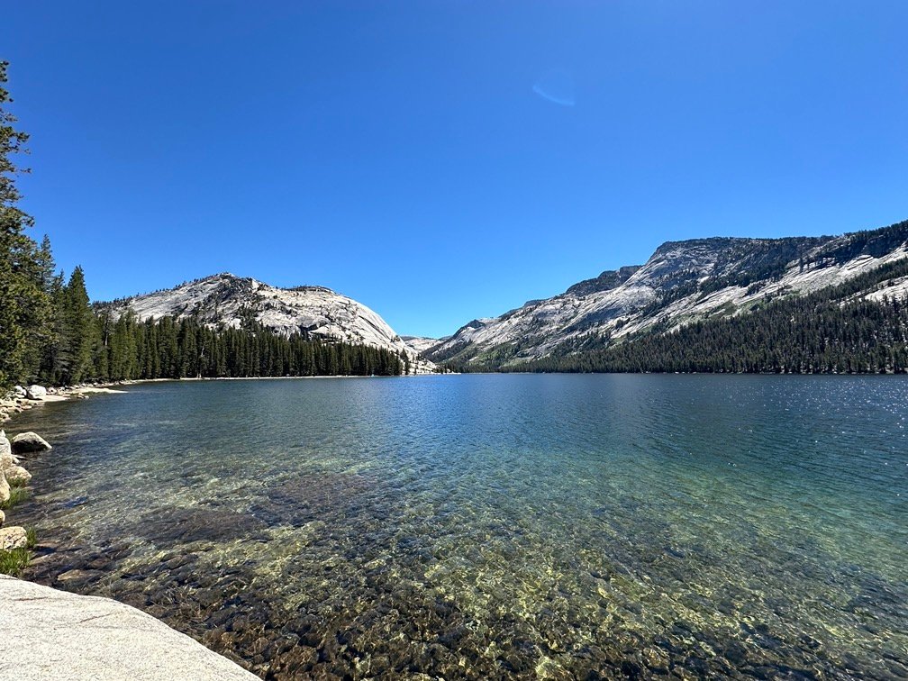
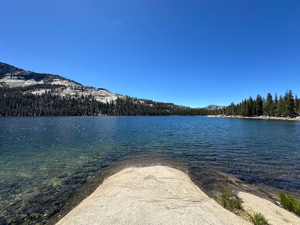
With all the planning and preparation done, in late June I set out in my Jeep. I started with a nice drive through Yosemite on Tioga Road. Some nice views from Olmsted Point and Tioga Lake along the way.

After dropping my small resupply bucket off at in a bear box at the Tuolumne Meadows Wilderness Center, I continued down Tioga Pass and then down highway 395. In addition to running down the entire east side of the Sierra Nevada Mountain range with a fantastic view all the way, this highway ALSO runs almost all the way from Canada to Mexico like the PCT does (the highway ends around Los Angeles). Surprisingly, the highway is 1,300 miles long, but the PCT is 2,650 miles long. The PCT definitely takes some detours and scenic routes that the people who made the highway didn’t need or want to take.
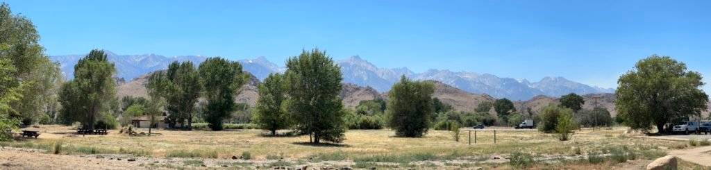
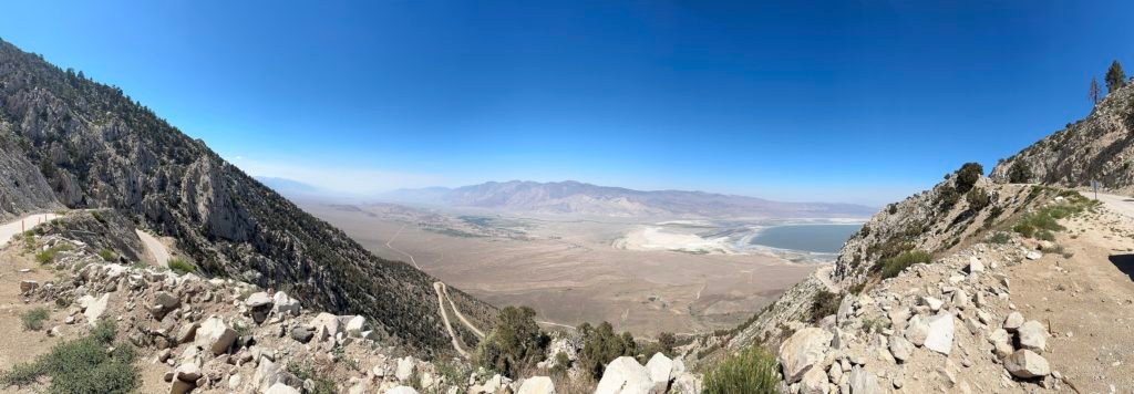
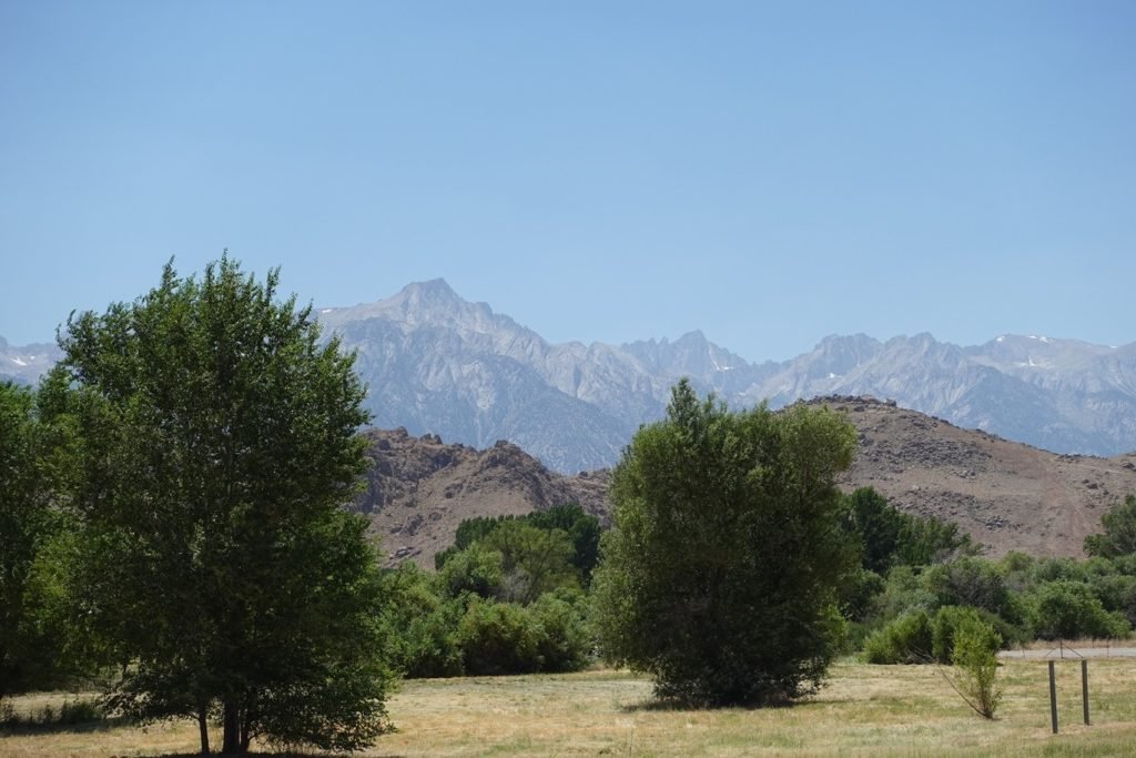
Unlike the west side of the Sierra Nevada Mountain range that is covered in rolling, green foothills that hide a lot of the grandeur of the mountains from view, the east side is a result of the massive uplift that created the range. It’s highly visible wherever you go in Owens Valley.
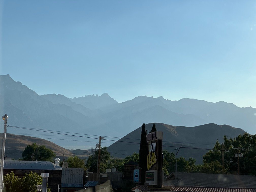
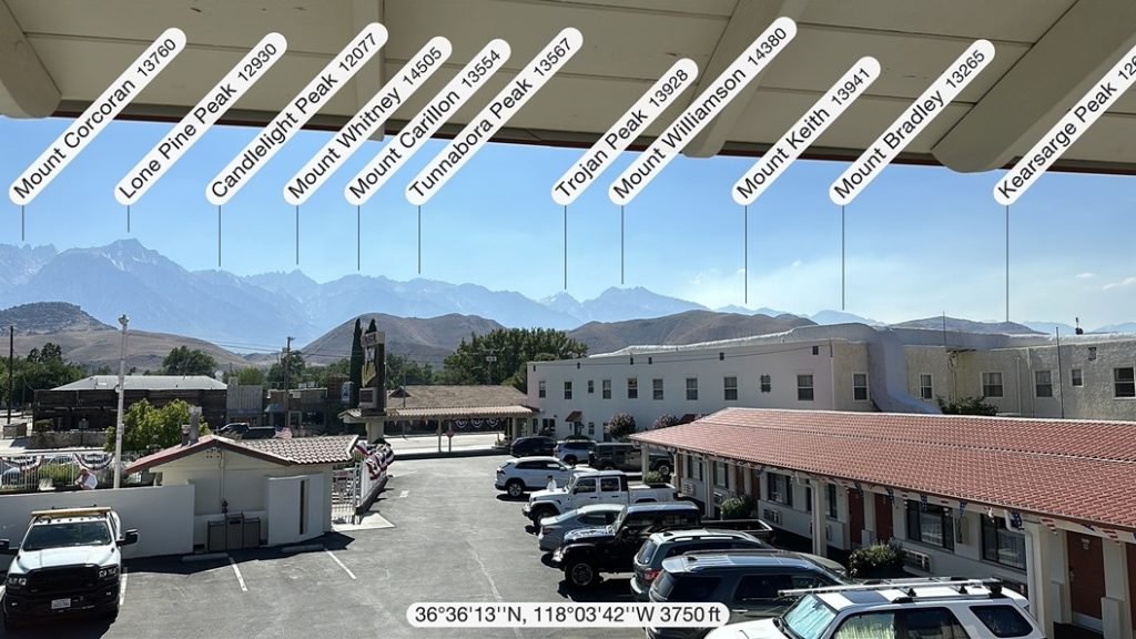
What doesn’t stand out is Mount Whitney. You’d think as the highest point (14,505 feet) in the lower 48 states it’d be front and center and obvious for miles and miles away. Think how Kilimanjaro, Mt Fuji, and Mt Shasta all stick out from everything around them.
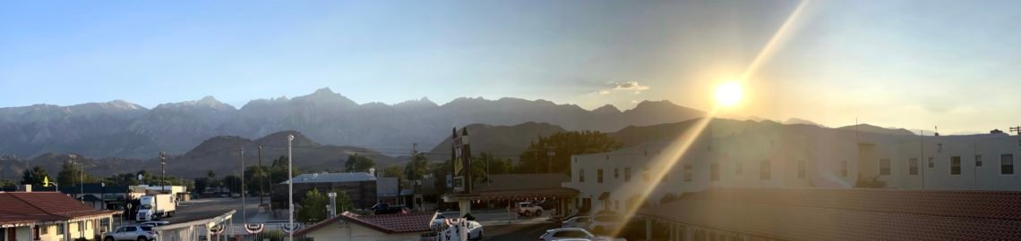
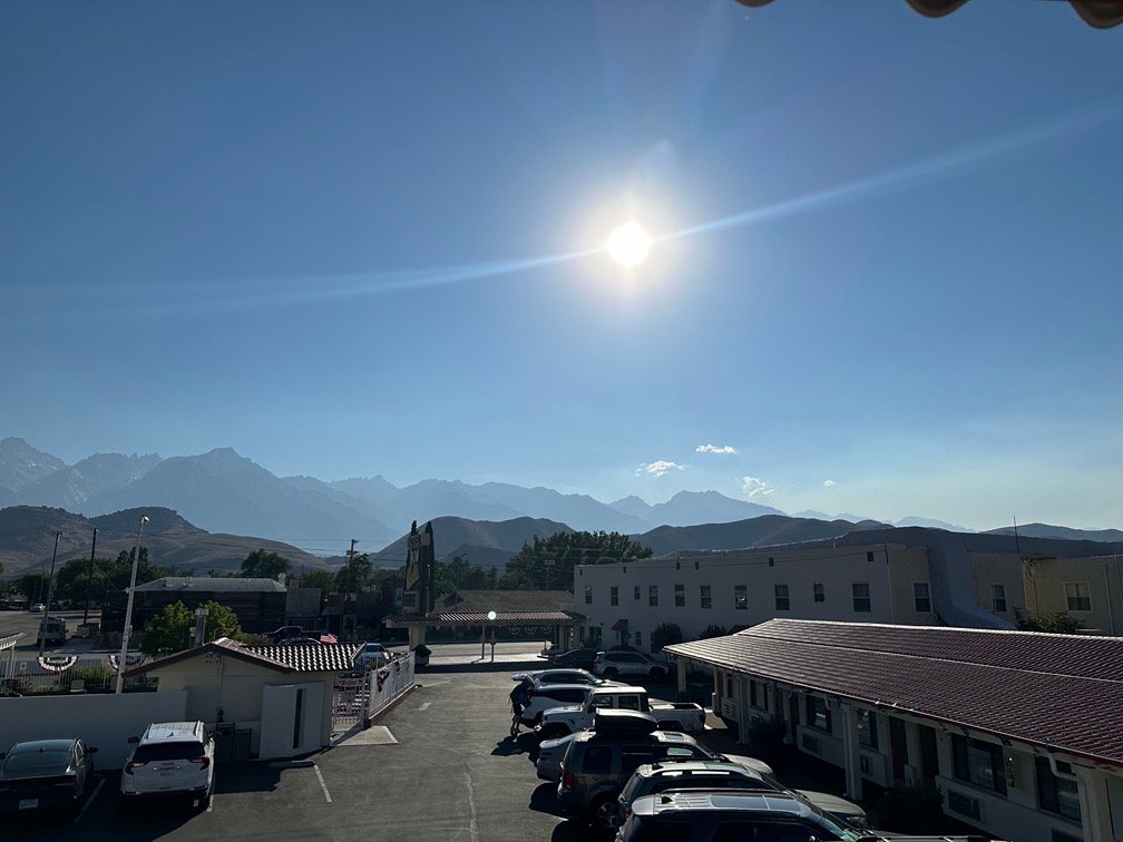
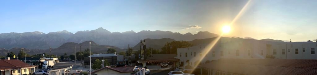
BUT Mount Whitney has FIVE other 14ers (mountains over 14,000 feet) and other high peaks clustered all around it. So, perspective makes it vanish into the background of the closer mountains. Lone Pine Peak has often been mistaken for Mt Whitney, since from Long Pine it looks the tallest. But that peak is only a ‘mere’ 12,949 feet high. Mt Whitney is tucked behind it and several other closer peaks. Can you find Mt Whitney in the picture below from my hotel in Lone Pine?
Scroll down to the bottom of this page for a Peak Finder image showing the location. Didn’t expect a test when you started reading this report, did you? 😀
After picking up my permit at the visitor center, I drove up the switchbacks leading to Horseshoe Meadows and left my pre-Whitney resupply there. It was a nice drive and I enjoyed the view of Owens Valley, the Alabama Jills, and Lone Pine on the way up and way down.
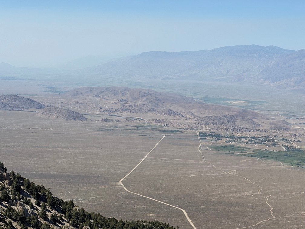
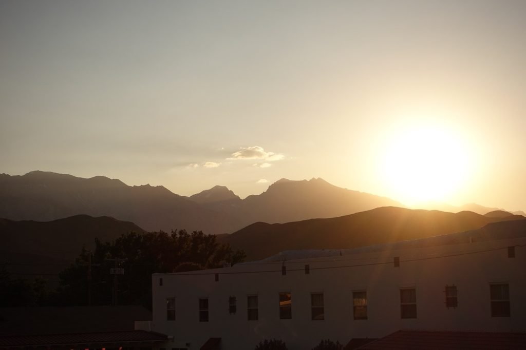
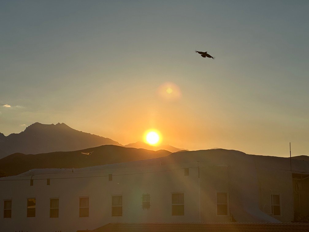
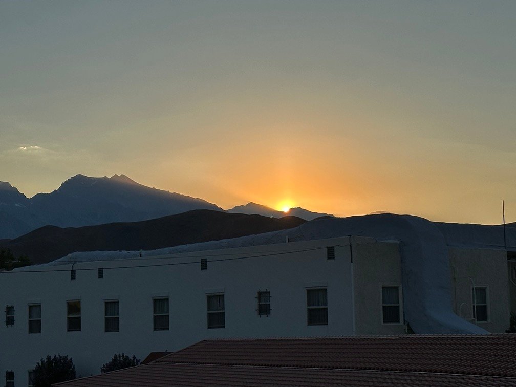
One downside to using Lone Pine as a base camp for exploring the Sierra Nevada Mountains is that it’s only at 4,203 feet, so in the summer can get quite hot. And the weather report showed the valley was at the start of a heat wave (that ended up affecting a very large area of the south-western United States). So, while Tuolumne Meadows and Horseshoe Meadows were comfortable 70s or 80s, Lone Pine was 100 degrees plus. So, it was a bit of a shock to my system when I had to be outside in Lone Pine. While it may not that hot when I start my trek from Walker Pass, I knew I’d have to deal with 80s and 90s on that first part of PCT section G.
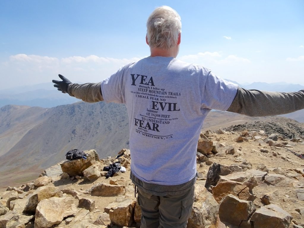
I checked into my hotel (that had AIR CONDITIONING 😀 ), bought some T-shirts at the Lone Pine Rock & Gift shop, and had dinner. I link to that shop in particular, since it’s the only place I’ve been able to find to buy my favorite Mt Whitney T-shirt. I bought two more in different colors because the first two I had bought over the years have worn out a bit since my first accent of Mt Whitney in 2015. Ironically, while I did wear it on Mt Elbert in Colorado (pic below), I’ve never worn it on Mt Whitney itself. I tend to stick to moisture wicking, quick-drying, lightweight T-shirts on the long trail hikes (like this trek will be).
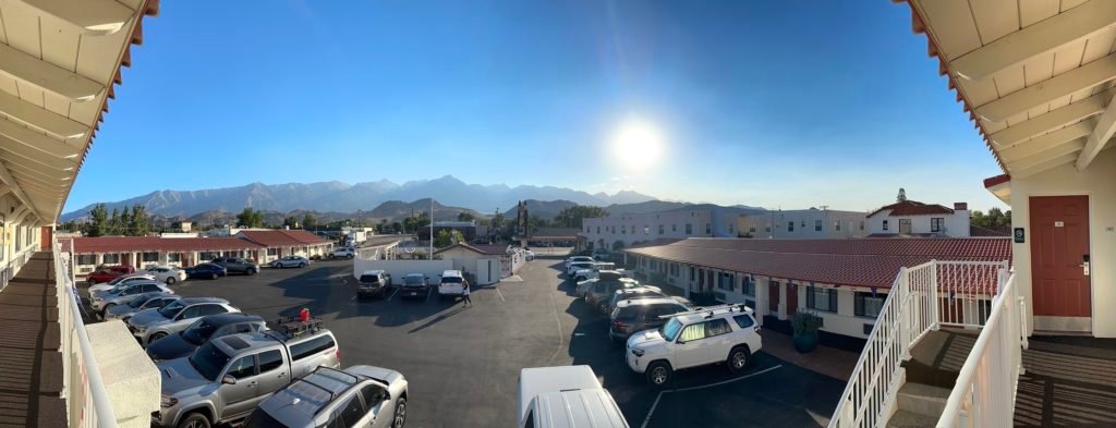
I had chosen my hotel based on that they would hold my resupply bucket for free (can’t leave food in my Jeep when I park it at Onion Valley), that they had a pool and hot tub, and they had a spectacular view for sunset and sunrise (from some rooms, a walkway along the motel balcony, and even from the pool and hot tub).
What’s not to love?


1 Pingback