Goal for the day: Go as far north as I can get
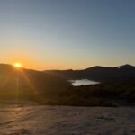
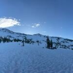
I wasn’t expecting much light from the sunrise, but I was pleasantly surprised that the sun did light up the ridge lines around me as I had breakfast, packed my tent, and started back up the PCT.
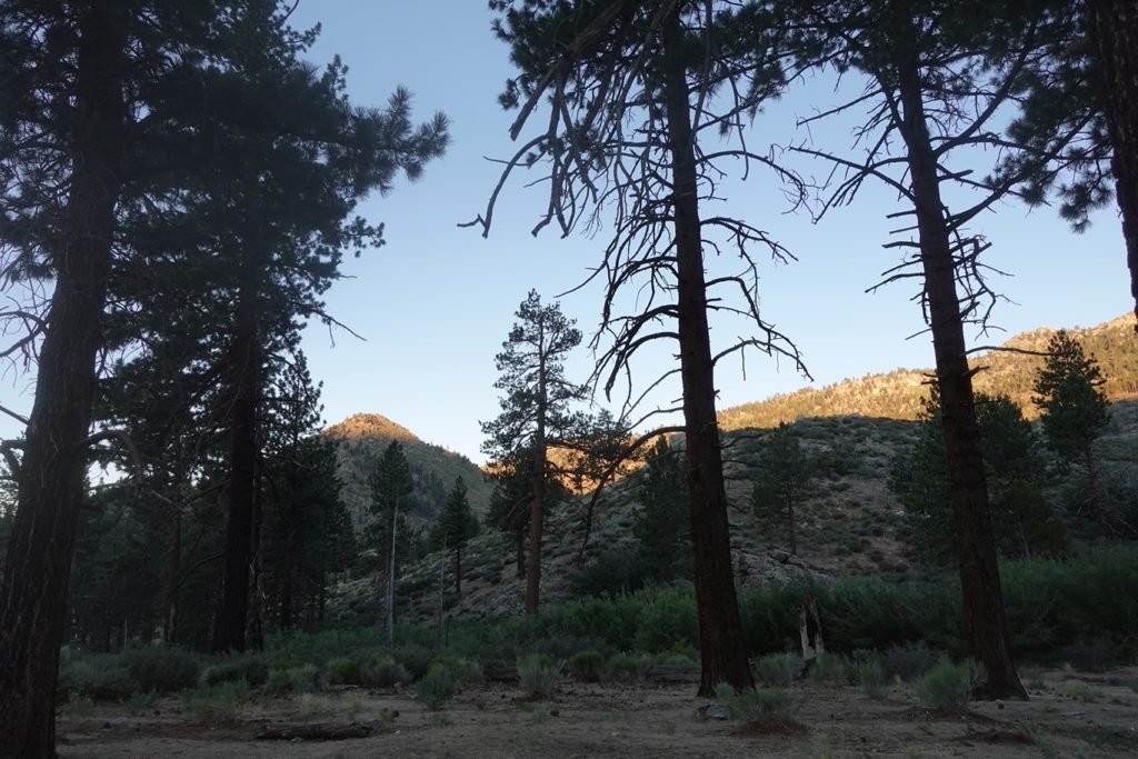
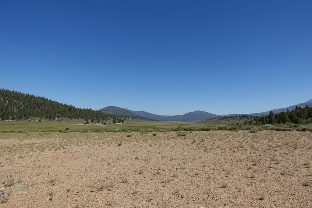
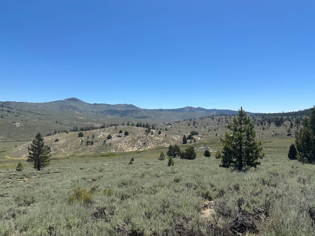
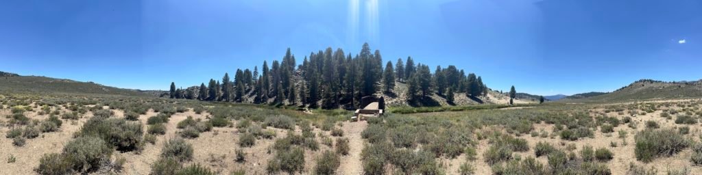
As expected, the tree cover vanished almost as soon as I set foot back on the trail. There were signs of an old fire and only shrubbery having regrown between the bare tree trunks.
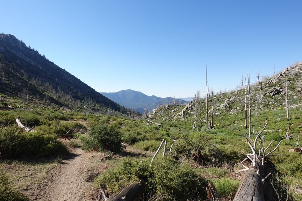
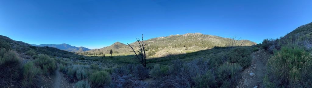
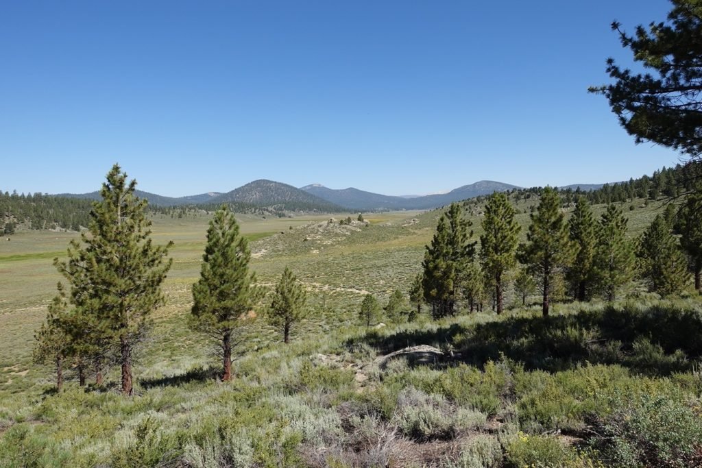
Further up the trail more trees appeared, even as the creek dried up while I climbed higher. I was glad I didn’t try to continue up the trail the afternoon before, since it was pretty hot even well before noon.
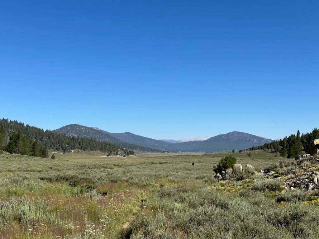

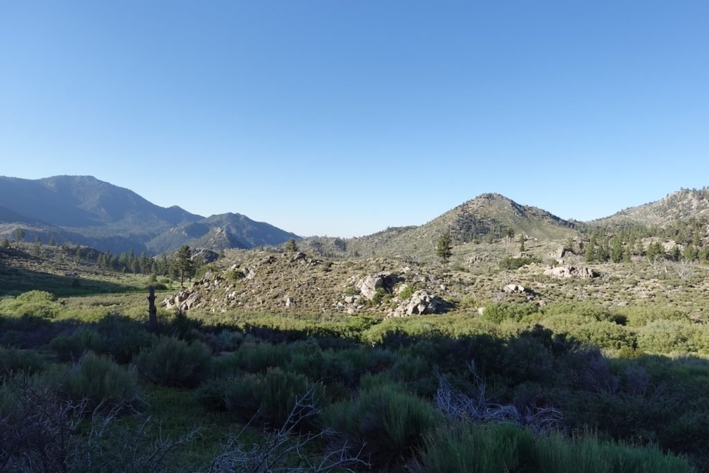
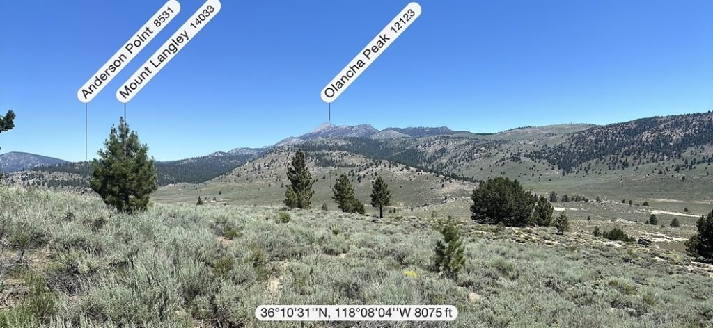
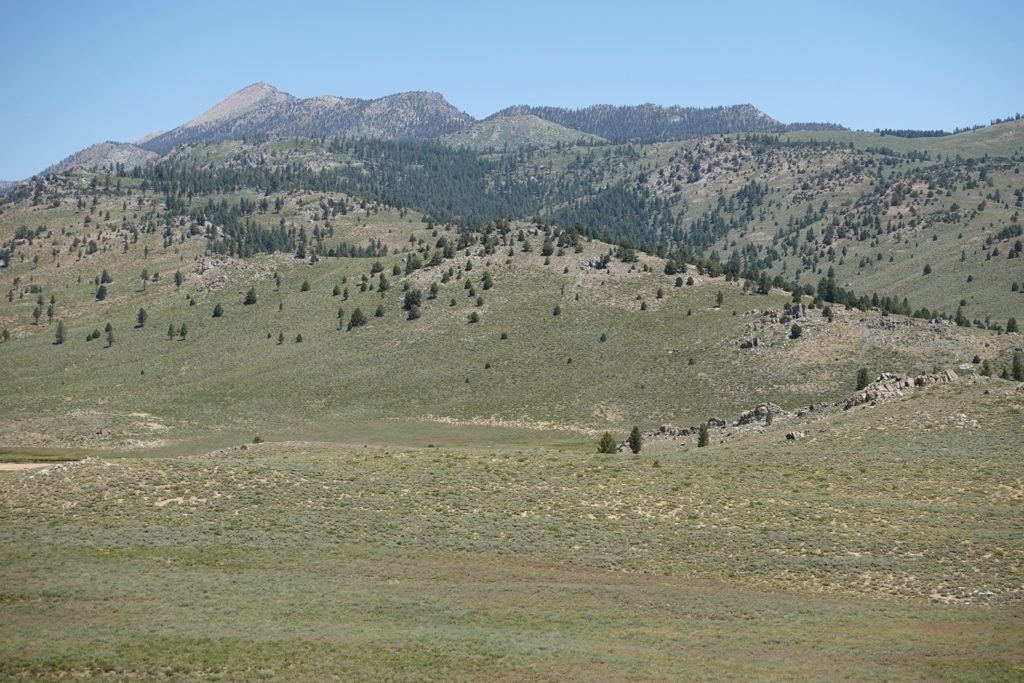
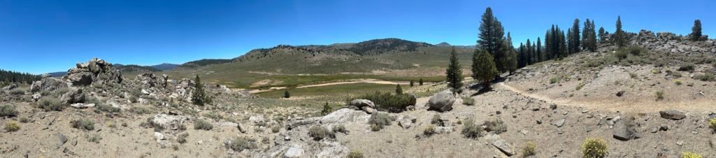
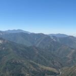
I got my first look at Olancha Peak. I wouldn’t be climbing it, but for the next several days I would be hiking across the ridge line beside this prominent peak. Made for a good landmark to keep my bearings. My GPS app on my phone and the clear trail in front of me helped too.
As I neared the probable halfway point for the day, I caught sight of a mound that stood between me and Heaven. No, I wasn’t dying (although I felt like I may be dying from the heat)…

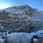
I was nearing the South Fork of the Kern River!
Yes, again.
This was was the last time the PCT crossed the South Fork, and after a very hot and tiring morning, I was very much looking forward to it.
Heaven!!
After the long climb under the hot sun that morning, I gleefully dropped my backpack and was in the river very quickly.
Ahhh…
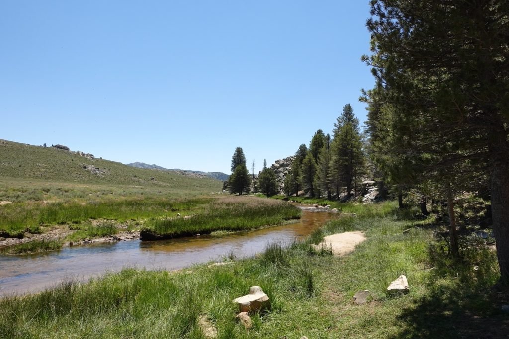
It wasn’t very deep here, but there were some pools of deeper areas that I could sit in and soak up to my neck. I could even lay flat on the water and float down the river a little bit.
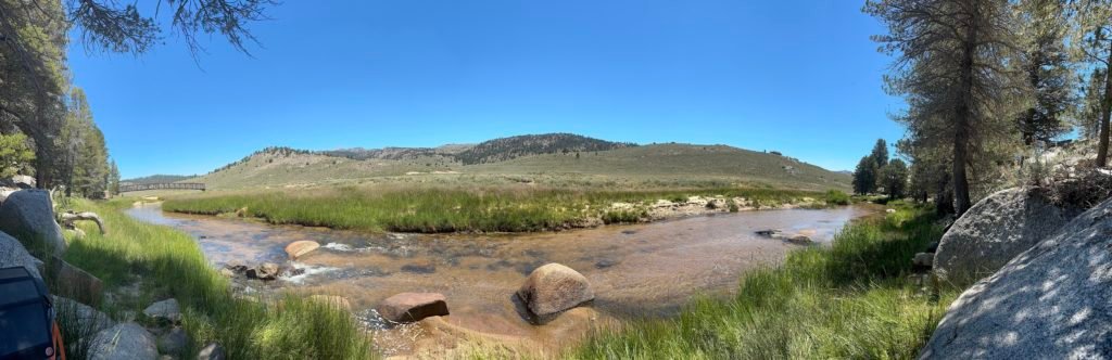
I ended up spending over an hour in the water, even eating a couple trail snacks while sill soaking in the cold water. Like the first time I reached the South Fork of the Kern River on Day 6, it was Heaven on Earth. Or Heaven in the river.
I was tempted to spend the rest of the day and night there (there were some campsites around that were far enough from the water’s edge). I knew the next part of the trail was also a long stretch without tree cover, so that made the temptation more.
But I didn’t want to stop that early and knew that the next part wasn’t that steep, so hiking across the meadow area without shade hopefully wouldn’t be as bad as that morning had been.
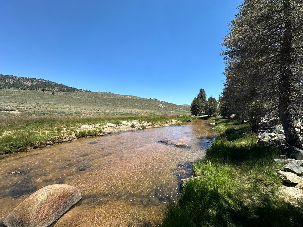
I did have to filter some water before returning to the trail. The next water on the trail was 3 miles further, so I would have to have about 2 liters to reach it.
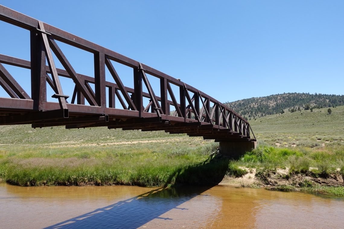
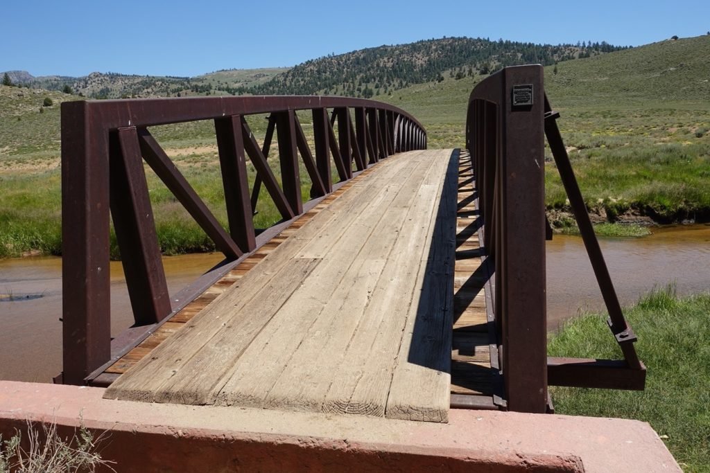
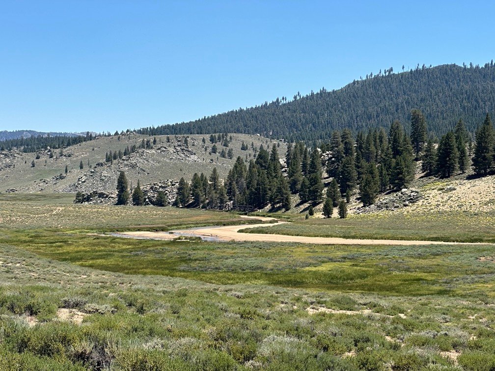
The river is spanned by a very long arched bridge. Right now, the river was low enough to make crossing it easy without the bridge. It kind of made it look silly to be there. But in the spring with all the melting snow pouring into the creeks and streams that create the river, I’m sure the bridge is needed for PCT thru hikers to get over the river earlier in the year.
One unique aspect of the bridge is that swallows have made it a favorite place for nesting and raising their babies. As such, there were swallows darting in and out from under the bridge constantly. It was quite the sight. See the Flicker albums for a movie of it.
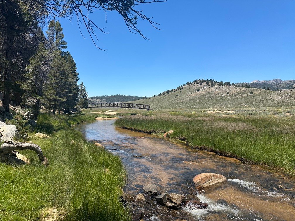

I crossed over the bridge as I continued my hike.
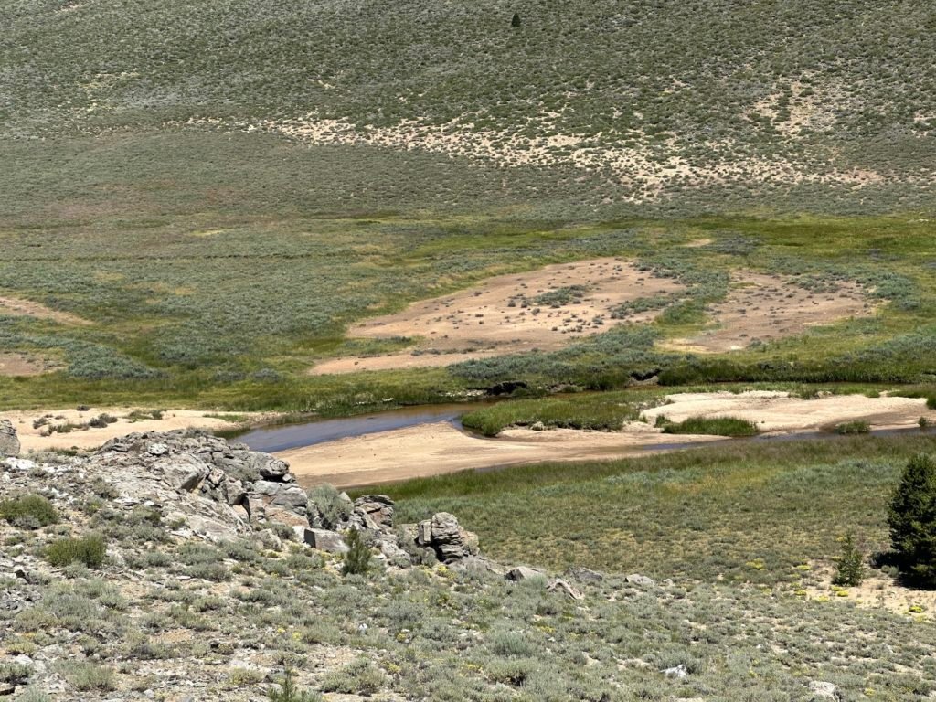
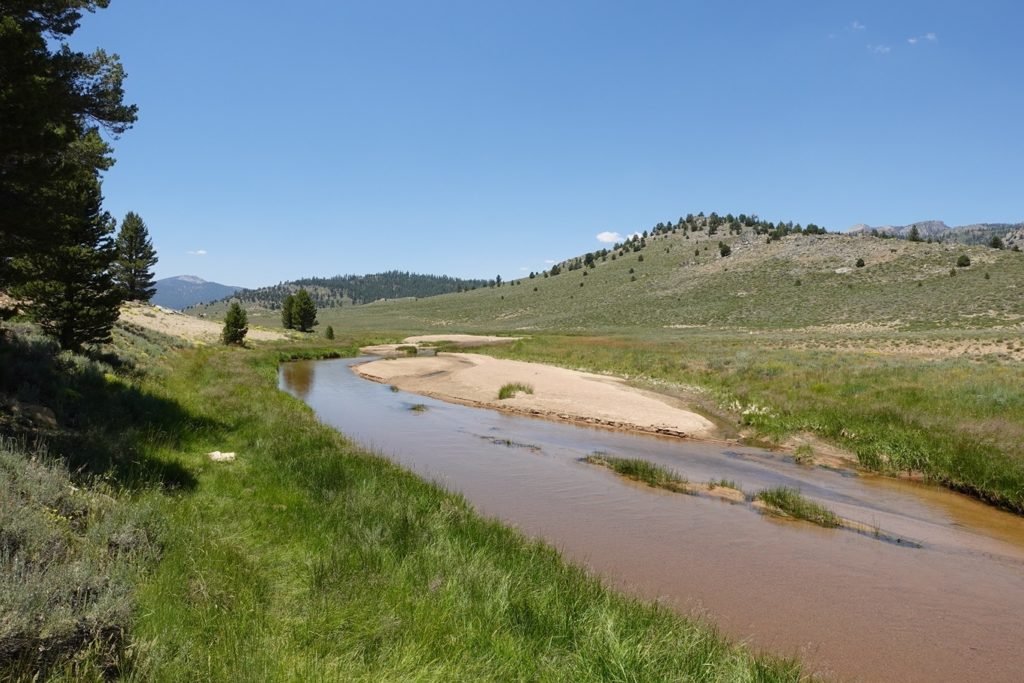
Looking back, I was a little surprised that the river didn’t have more trees and vegetation surrounding it as it had on day 6. I imagine the wet season for this area was short during spring and after the snow had all melted out the water flowed down the river quickly.
As to why the PCT turned away from the river to go up the dry gulch like it did, the map seems to show the part of the river between bridges goes through a VERY narrow canyon that might not have made a trail running along the river practical.
Or the trail makers are sadists. There are times on trails when I do think they may be… 😀
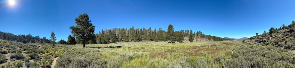
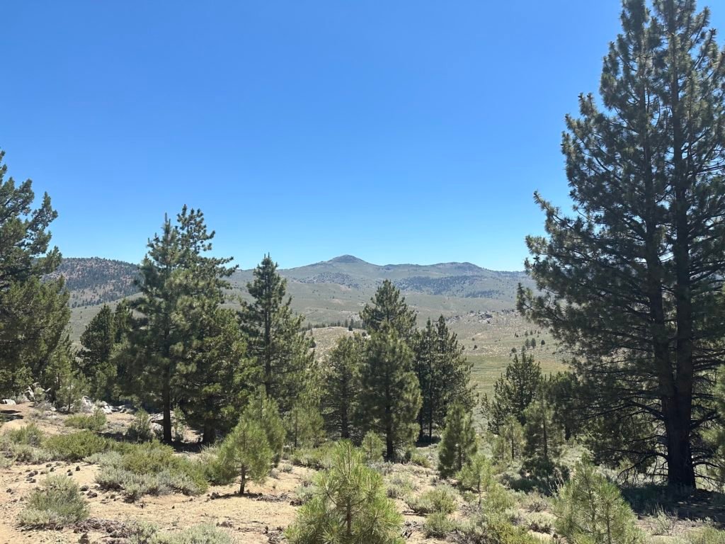
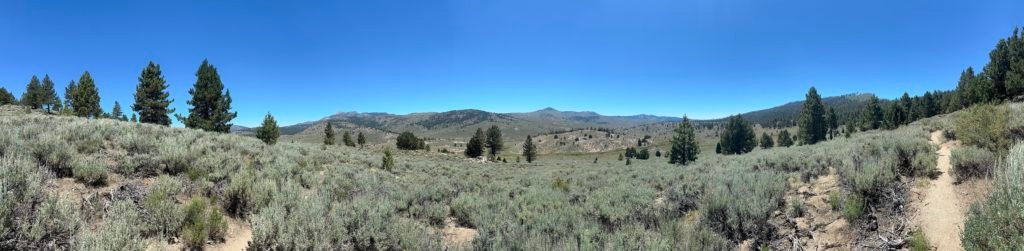
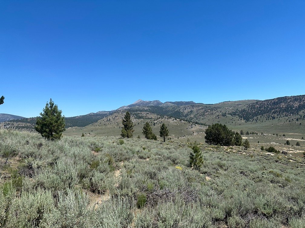
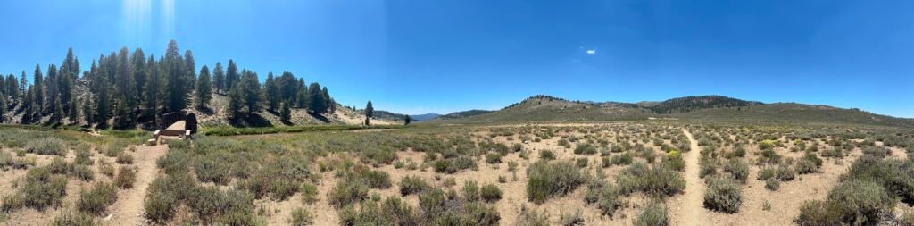
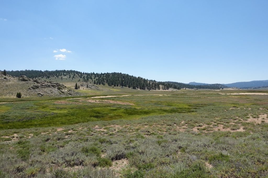
Then it was a long hike through the meadow, although it was more like the dry desert I had hiked through before reaching the river on day 6. The small shrubs could survive the dry summer months without any direct water.
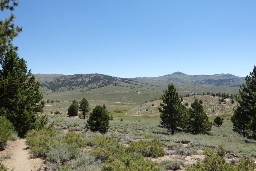
So, while it was a hot afternoon without shade, the hike wasn’t that hard and I reached the small creek that lead into the trees.
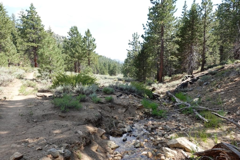
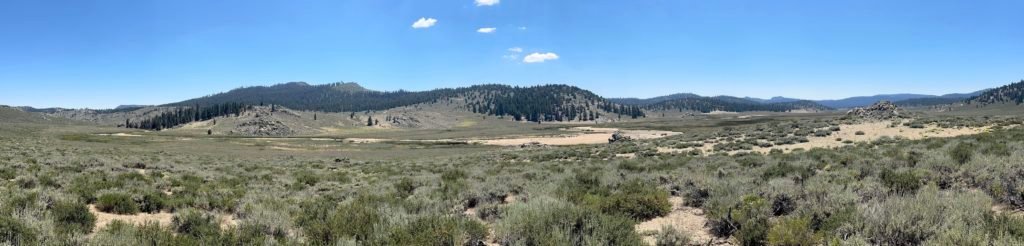
While I had some hope to reach the Olancha Pass area that had a lot of camping options, I stopped about a half mile short when I found a nice area with campsites by the creek.
It wasn’t a long day on the trail, but the lack of shade made it seem very long. The dip in the river was the highlight of the day, of course.
Goal for the day: Success!
Day 8 – 10.5 miles – 9 hours 10 minutes
PCT section G – 67.1 trail miles out of 115 total miles

(mileage and time approximate and based on GPS tracks which may not be exact and include diversions from the trail)


1 Pingback