Goal for the day: As close to Trail Pass as possible
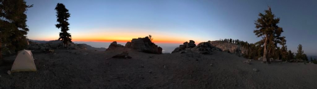
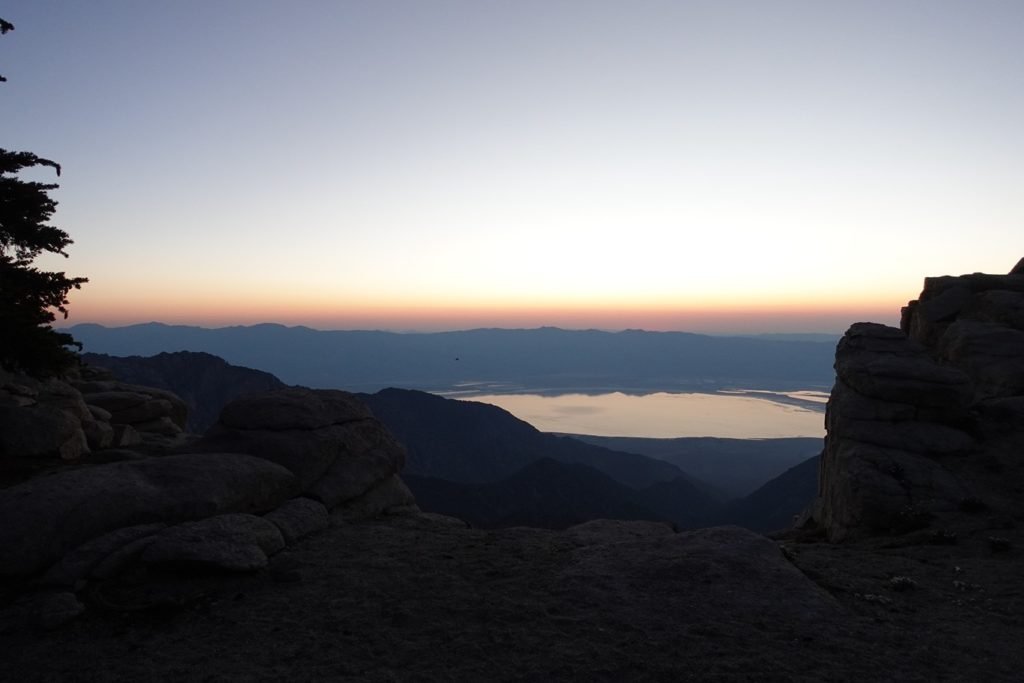
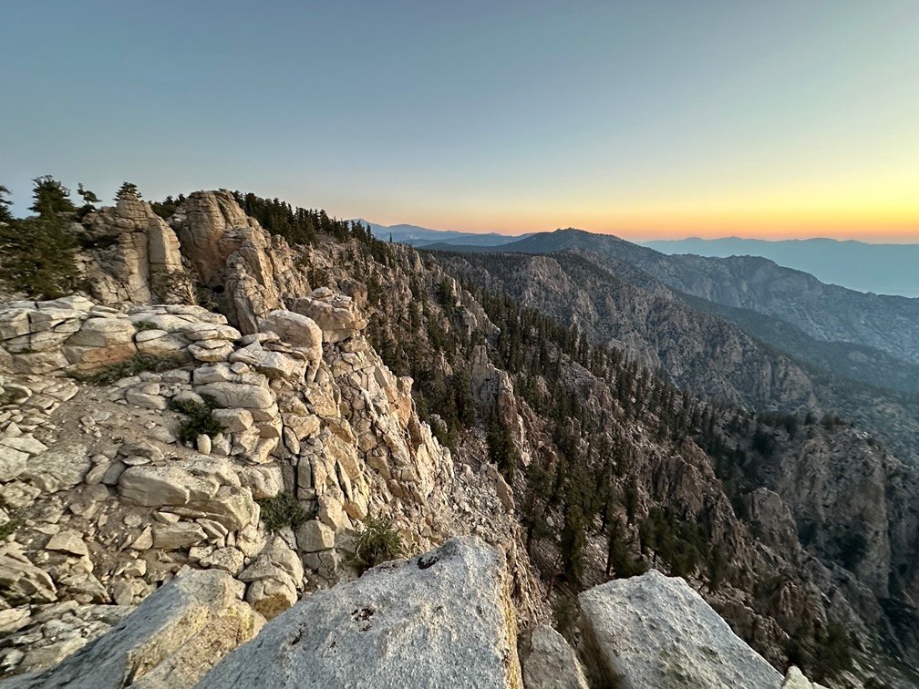
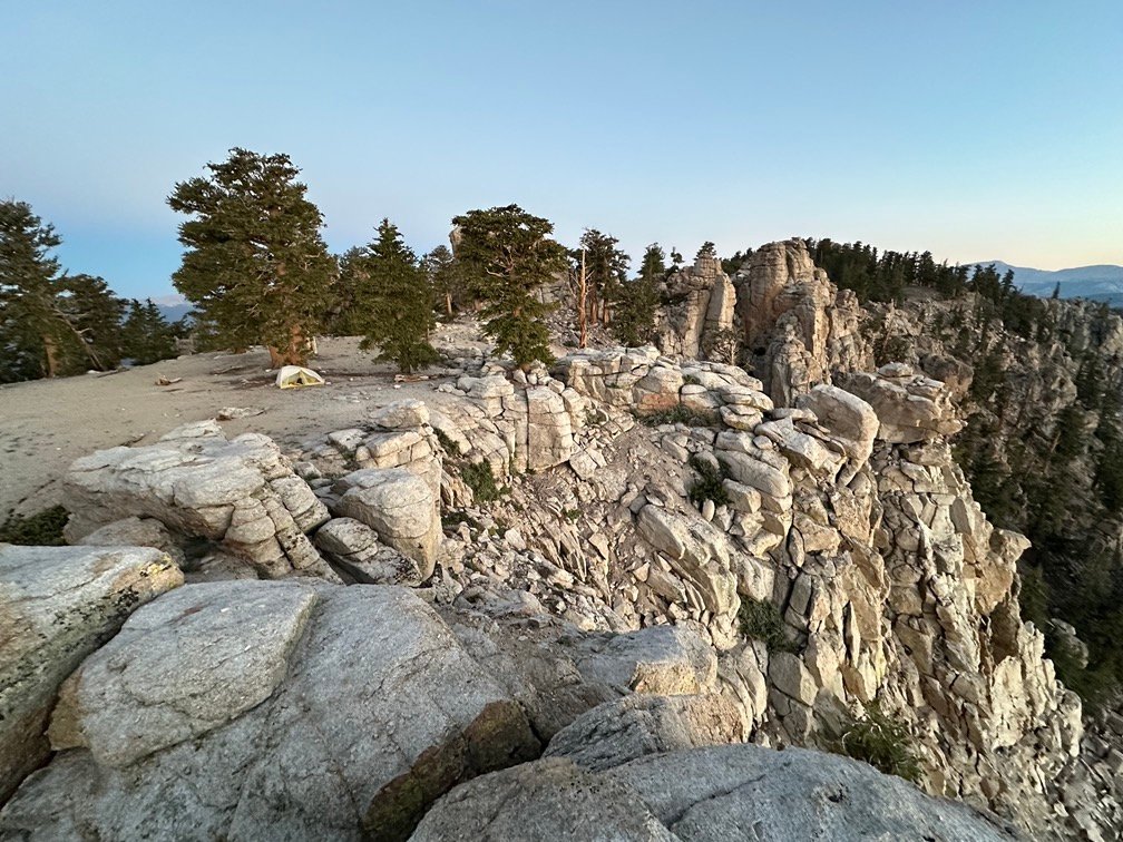
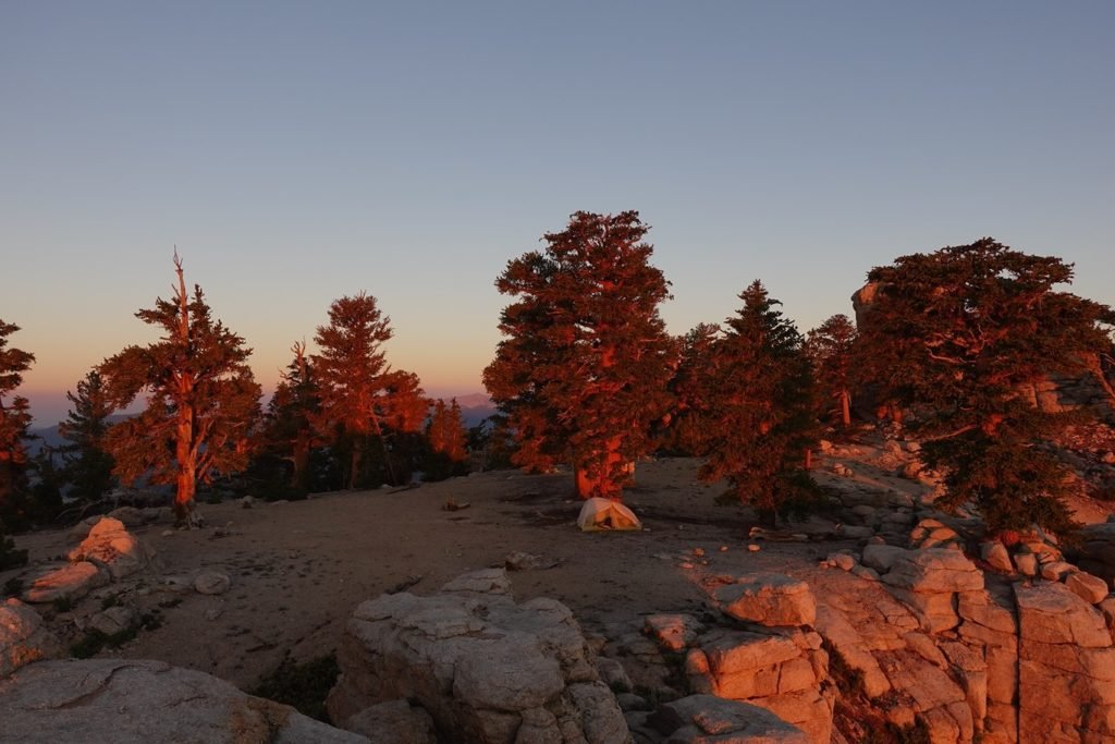
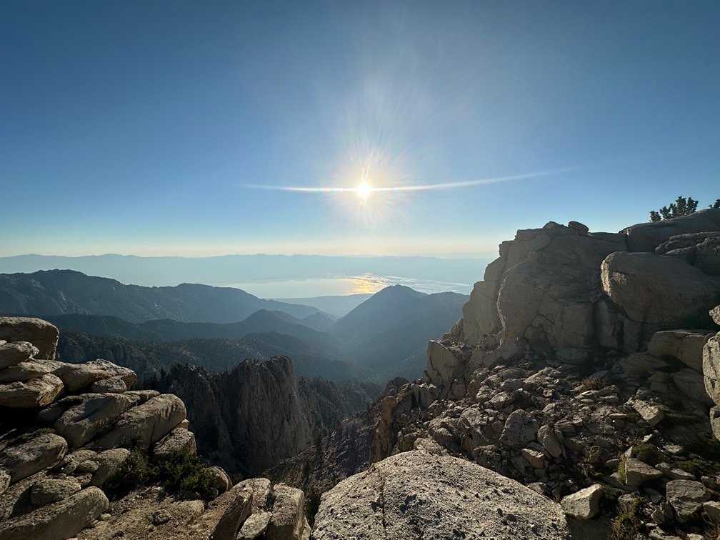
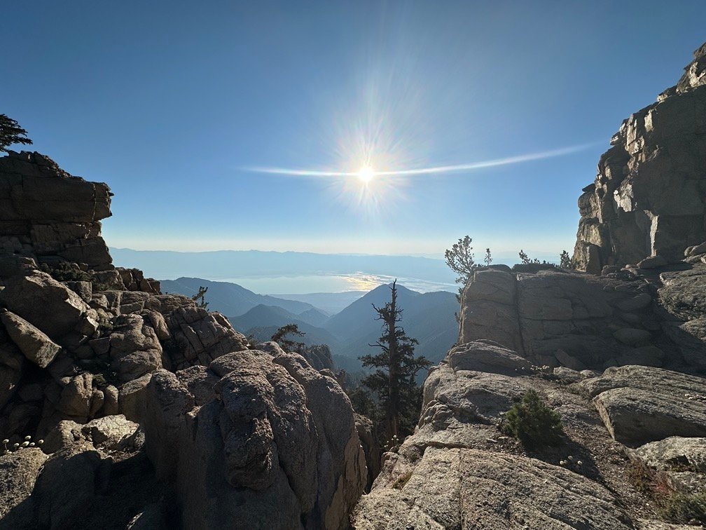
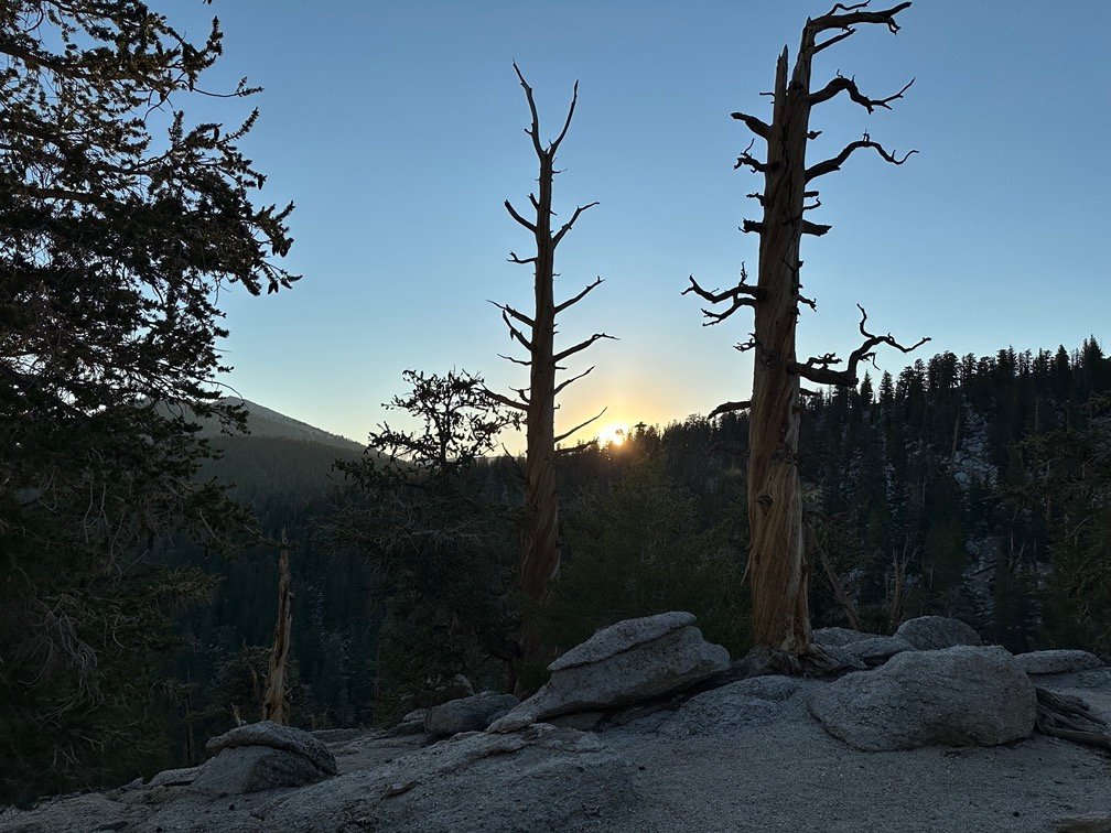
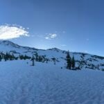
The area I had camped in had a wide open view of most of the area. Maybe I should have left the rain fly off my tent this night, but being at 10,600 feet it tended to get cold at night. The rain fly does help contain heat and minimize how much warmth was lost to the cool breeze that was very present that night.
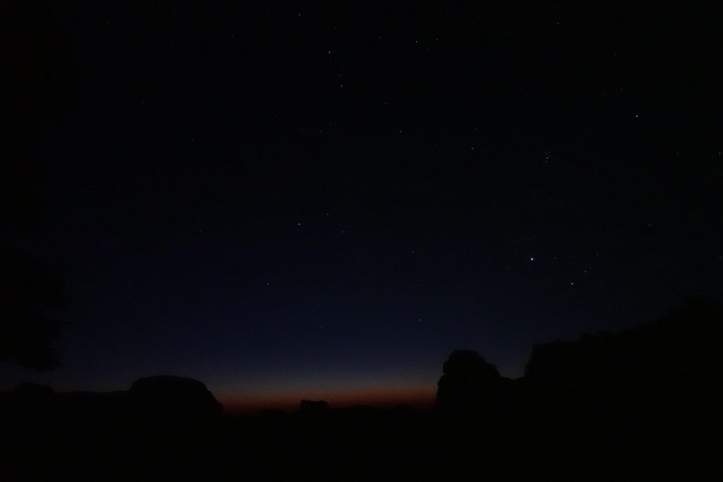
Regardless, I had more than enough opportunities to see the night sky overnight.
And it was a spectacular night for stargazing.


Even just poking my camera our of the tent could capture some of the grandeur of the Universe…

And the Milky way!

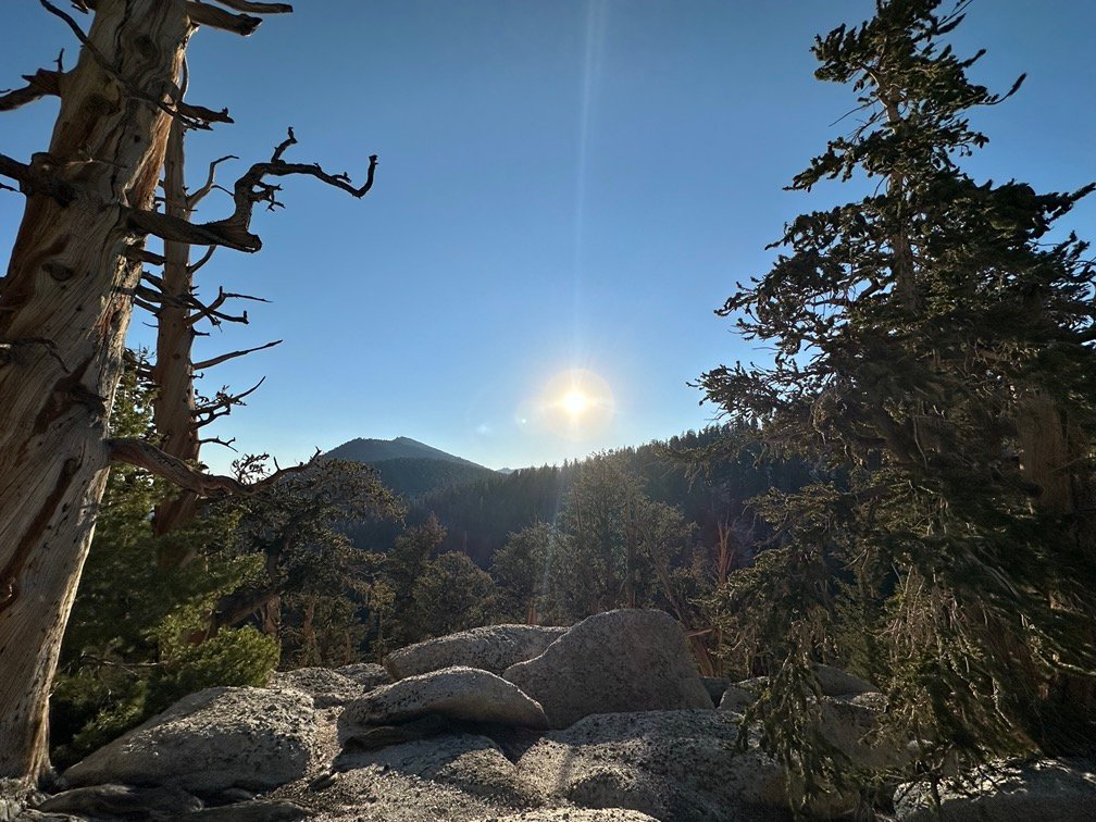
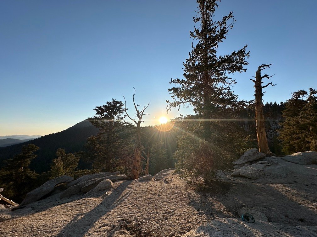
And let’s not forget what the pre-dawn light can look like when you have a unobstructed view of the eastern horizon…

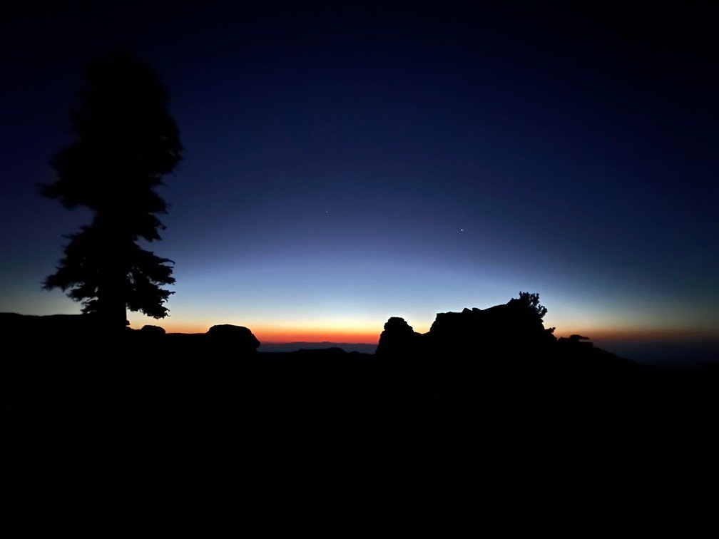
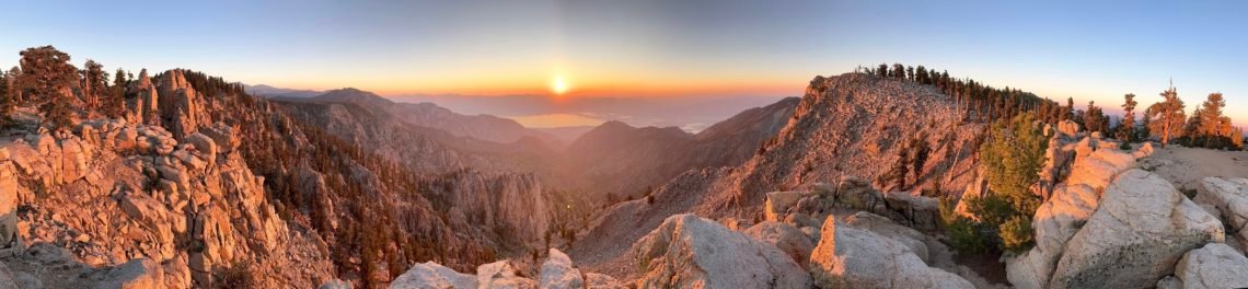
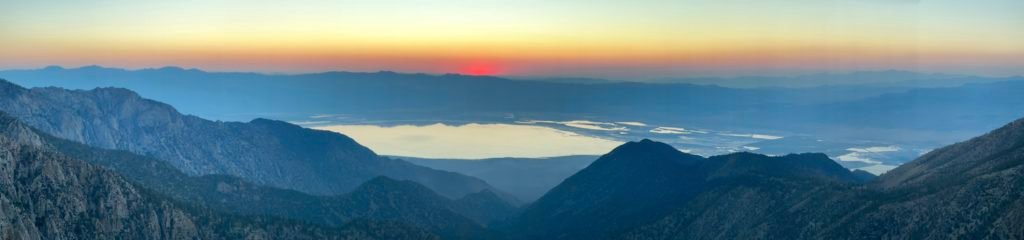
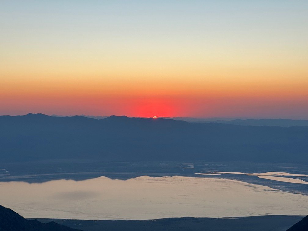
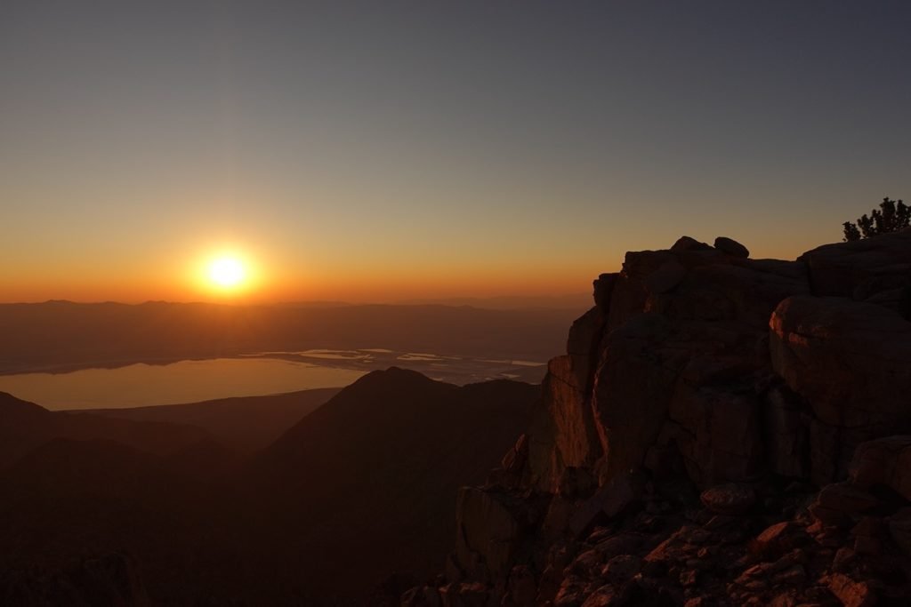
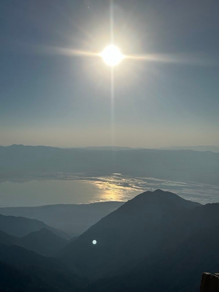
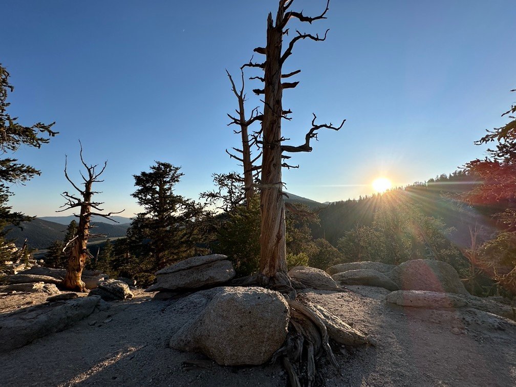
While the sunset had been great, the sunrise looked like it would be beyond spectacular. Almost to the point that I couldn’t really describe it to accurately reflect how I felt. You had to be there, but you can get some of the feeling from the pictures.
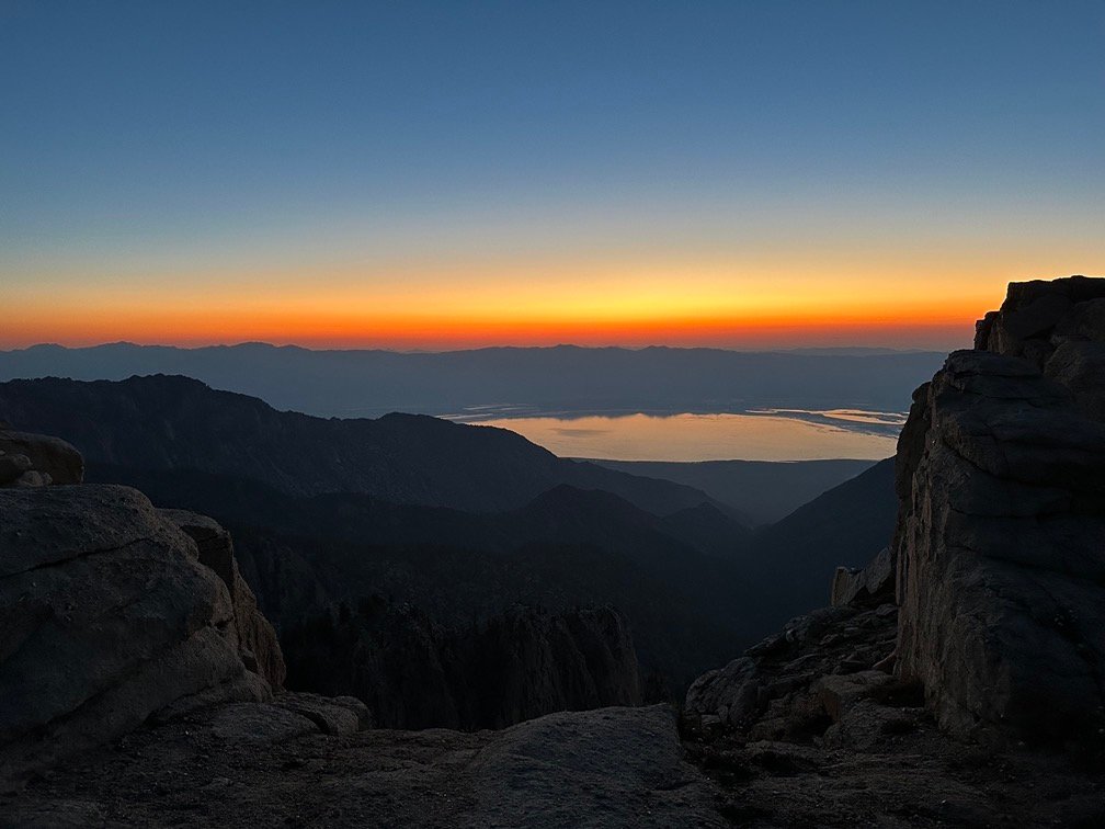


I was a little worried when the red glow from the rising Sun didn’t light up the cliff sides like I expected. I wondered if some of the smoke I had seen above the eastern mountain range across Owens Valley might have been dulling some of the light’s effects.
Still was a fantastic sight to behold.


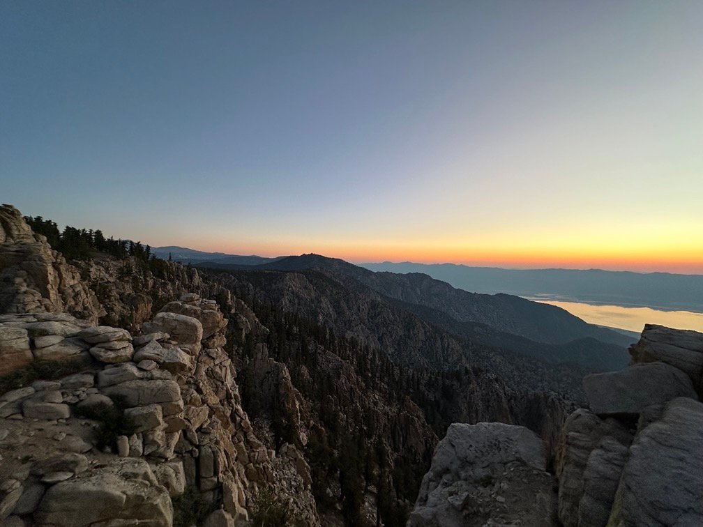

And all that was BEFORE the Sun even thought about rising above the mountains.


Wait… what?
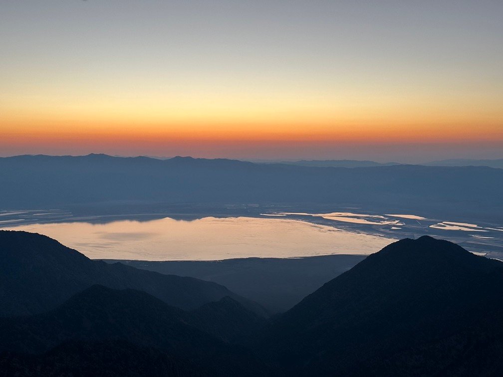
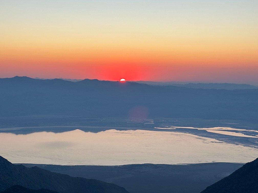
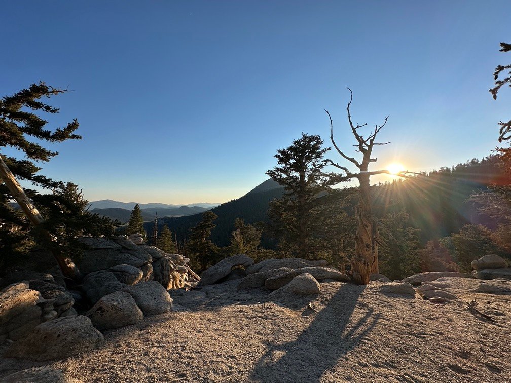
Once the sun cleared the first band of red that traced the tops of the eastern mountains, some color started to appear on the sides of the cliffs and mountains along the west side of Owens Valley.
It was very much like the color you saw from Lone Pine, but more up front and personal.


And it shifted through many shades of red.

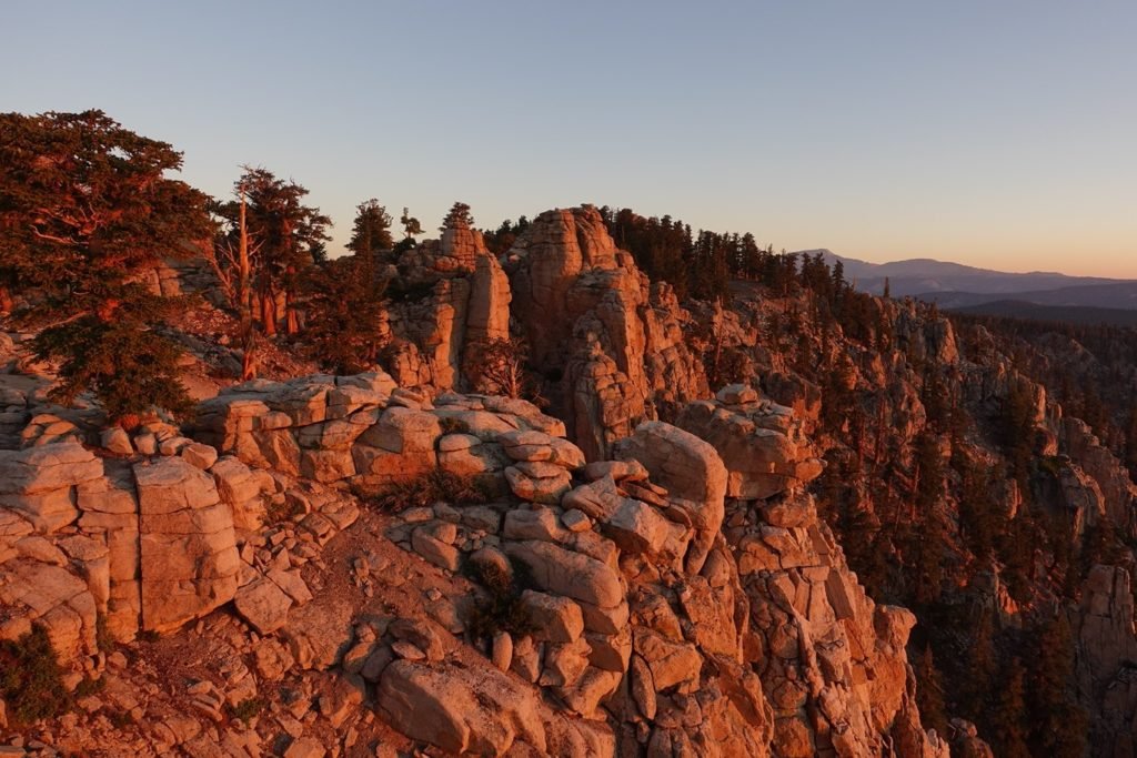
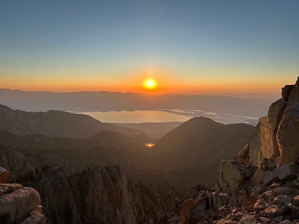
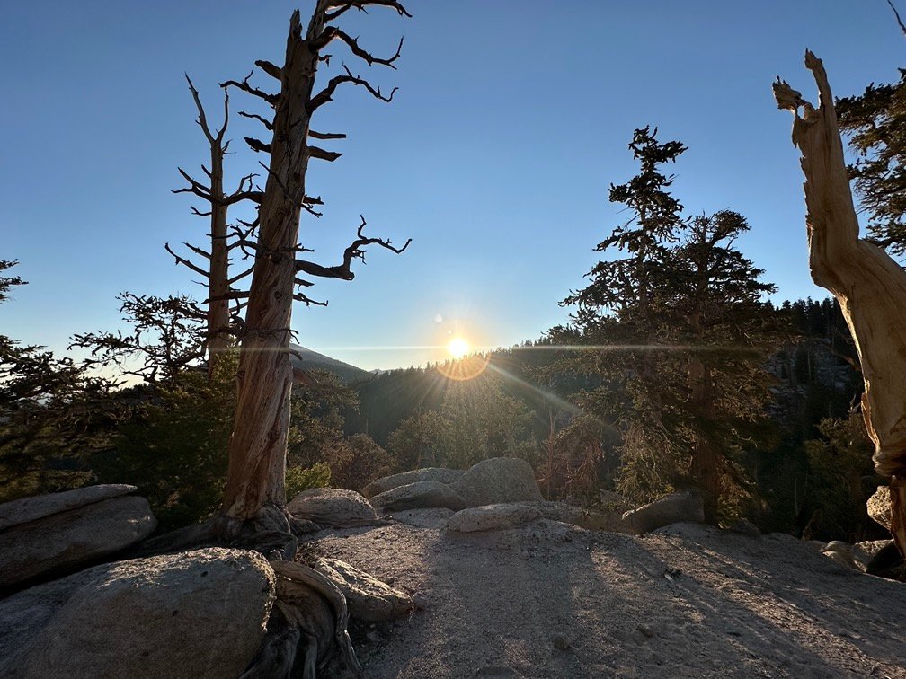
My God, it’s full of reds!

I officially can’t think of anything more to say about that sunrise. It left me speechless.
So, I’ll talk about my goals for the day and the rest of the trip.
The problems with the sole of my boot were becoming a big problem. The duct tape had worked to keep the open gap from spreading too much. I’ve seen soles completely separate from the rest of the shoe or boot if left alone. That would end my trip pretty quickly.
Also, if I made it that far, climbing up the trail to the top of Mt Whitney with a flaky boot was not likely to end well.
Then I had to add a pain I was starting to get in the side of my chest. It started as a slight twitch a couple days earlier and was now more of a sharp rush of pain in one area. If I bent the wrong way it was pretty bad, so I had slowly learned how NOT to bend to avoid the pain. No bruising on the outside of my chest (except for some slight groves and bruising I always saw from my backpack on long treks like this) and I didn’t have any problems breathing. Although, I could also minimize the pain if I held a breath when bending over. Ibruprofin and Aleve helped, but not completely. I also had to be worried about it progressing to a serious health issue.
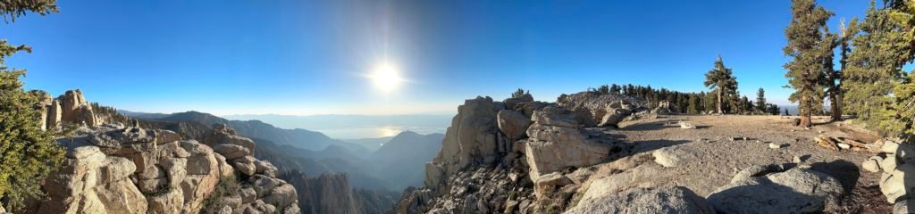
And the wide open view of Owens Valley from my campsite also allowed me to get cell service for the first time… ever on this trek. Even in Kennedy Meadows I had nothing, so relied on the resort’s WIFI.
That allowed me to check if the world still existed. Yup!
My cats were all okay back at home, no new fires that may affect my hike (the Fresno fires were too far north), my boss hadn’t sent anything urgent (although I had helped with an issue on arriving in Lone Pine before I even started my hike), and the news was a bit routine. The weather for the mountains on the other hand…
Was not looking good after the next day or two. There was what looked to be a stretch of 3-4 days with very unsettled weather coming.
And it would pretty much hit RIGHT when I planned to be climbing up the west side of Mt Whitney to the summit. That was the worst possible timing.
So, I made a decision: I would turn my resupply at Horseshoe Meadows into a full Zero day down in Lone Pine.
At that point I didn’t have much of a choice. If the boot got worse, I might have to abort before reaching Whitney. If the weather was bad, I would likely not be able to make my Summit attempt on Mt Whitney (or fail in the attempt). And if my pain turned out to be more serious, I could die or… worse… I could have to use my Inreach satellite communicator to send a SOS and get evacuated from the trail.
How embarrassing that would be. 😱
From where I was, I could probably make it to Trail Pass, then descend into Horseshoe Meadows. There, I could get my resupply, drink one of my Diet Cokes ( 😀 ), and try to catch a ride to Lone Pine from someone or get a shuttle ride. The only problem is that it would be quite late in the day by the time I could get there (past 8pm, probably). That would drastically reduce the chances of catching a ride from a vehicle returning from Horseshoe Meadows to Lone Pine and shuttles tend not to schedule rides that late. I’d rather not have to camp at the walk in campground at Horseshoe Meadows if I didn’t have to, so that left one option:
Stay another night on the trail near Trail Pass and go down the Trail Pass trail to Horseshoe Meadows and get a ride down to Lone Pine in the morning.
I was a day early getting to Kennedy Meadows and I would still be on my original schedule for my arrival at Horseshoe Meadows for my resupply if I had another night on the trail. In fact, the plan would be to camp near Trail Pass, the next day I would leave my tent and some of my gear there to save weight, and then go down to Horseshoe Meadows for the resupply.
If I went down to Lone Pine for a Zero Day, I’d have to carry all my gear down (and back up).
So, with this decided, I set my goal for the day as a campsite near Trail Pass and packed my tent and gear. And enjoyed the view, of course.
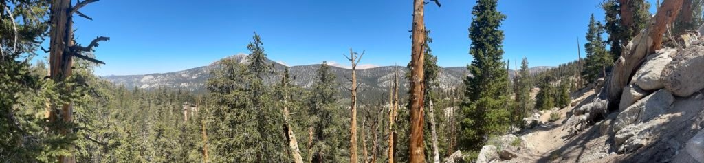
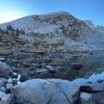
The trail wound along the the ridge and then started to descend towards the next water on the trail. I did confirm that I had chosen the right campsite the prior afternoon.


After the descent, I saw that the same people who left the high tech ‘700’ before Kennedy Meadows also left a way to find water.

After 4-5 days on the trail, I would have normally washed my dirty trail hair and clothing using the water there. To do this, I carry water in a bucket 100 feet from the water source and wash myself and clothing using biodegradable soap. Then I make sure to pour it out well away from the water source.
But since I was now planning on getting a Zero Day in Lone Pine, full washing of myself and clothing could wait. I did get some water and do a quick soak and rinse of one particular piece of clothing away from the water. My smelly short sleeve T-shirt was starting to bother even me. 😀
I got about 1.5 liters of water at that first water source for the day of hiking and then saw this further down the trail.
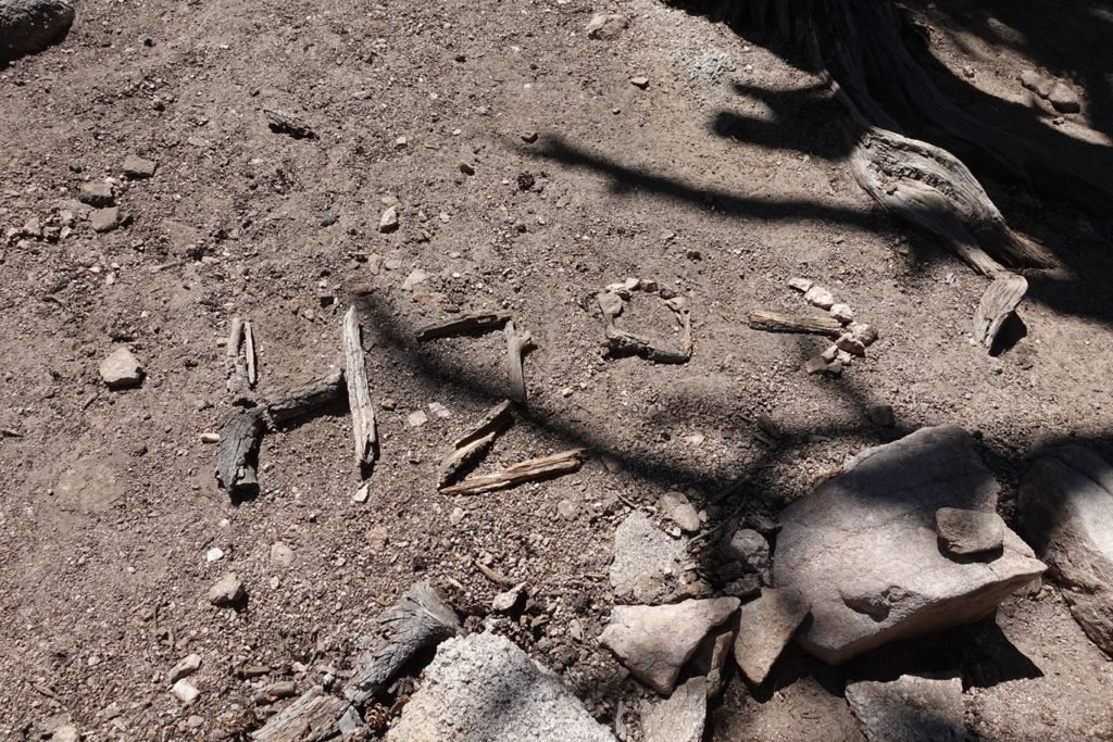
This stretch of trail was mostly horizontal that that point and had three water sources indicated on my map. Each were about 1/4 to 3/4 of a mile from the trail on small side trails. Hence why the ‘signs’ were needed. Other water sources up until then could usually be seen from the trail or even flowed ACROSS the trail.
So, to avoid people missing the water, these indicators were left behind by previous hikers (and other hikers before them, and before them, and…), ancient aliens, or just randomly settled in these patterns by a completely amazing coincidence after the snow melted!!
I’m inclined to believe it was the first possibility. 😀
I did notice signs of stock grazing along these three spur trails (assorted cow pies nearer the springs and then ‘no grazing’ signs in areas on the other side of the PCT trail), so possibly that was their original purpose. From my JMT 2020 hike, I knew that the various agencies did allow some well managed grazing in these wilderness areas.
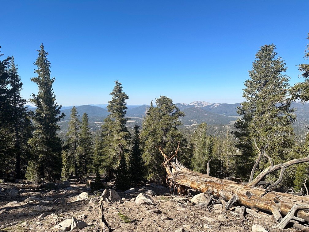
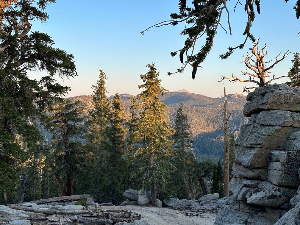
I continued along the trail, making fairly good time due to the trail being pretty level at that point.
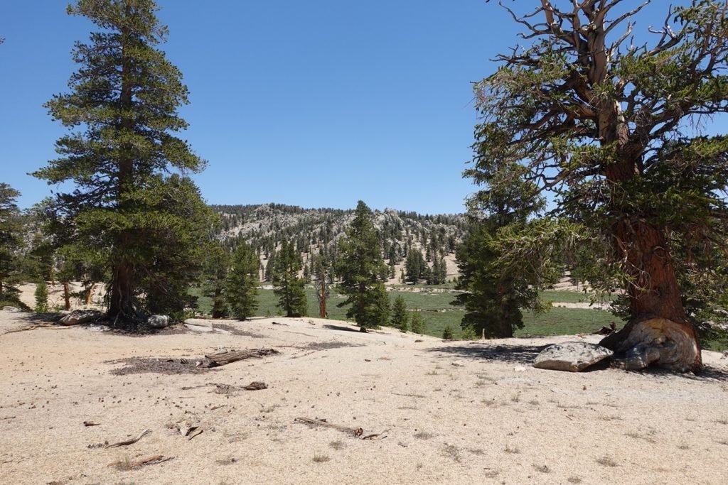
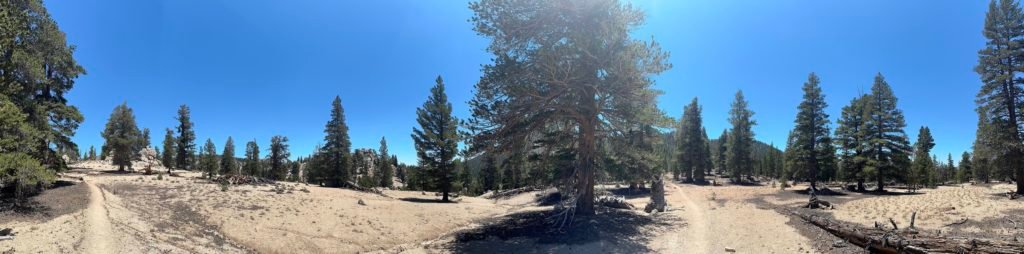
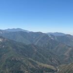
I loaded up on 5 liters of water at the third water source for the night’s camping and the mornings descent to Horseshoe Meadows before starting a modest climb up towards Trail Pass. I could see Mulkey meadows down the slope to the west of the PCT trail.

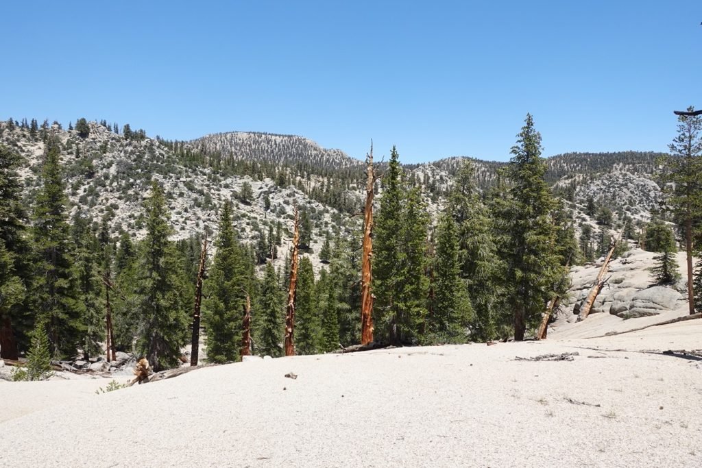
Less than a mile from Trail Pass and the trail that would take me down to Horseshoe Meadows, I found a nice camping area that had a view to the west. While I was prepared to go further to some other campsites nearer to Trail Pass that were indicated in my trail reports, I decided this would be a great spot to stop for the day.
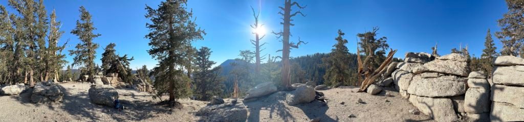
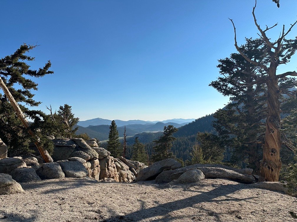


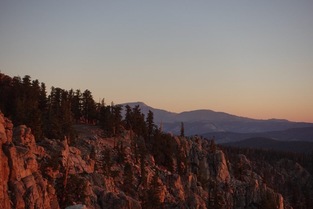
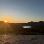
As expected, the light from the sunset was a great end to the day.


Couldn’t beat the previous night’s sunset, but it was a nice ending to the day.
Goal for the day: Success and a good sunset view as a bonus!
Day 11 – 9.75 miles – 8 hours 45 minutes
PCT section G – 91.8 trail miles out of 115 total miles

(mileage and time approximate and based on GPS tracks which may not be exact and include diversions from the trail)


1 Pingback