Goal for the day: No where in particular, just as far as I could go
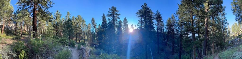
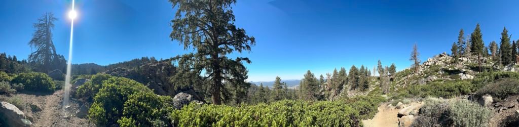
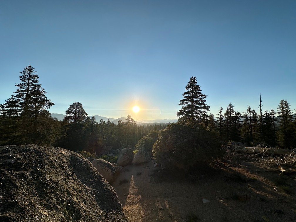
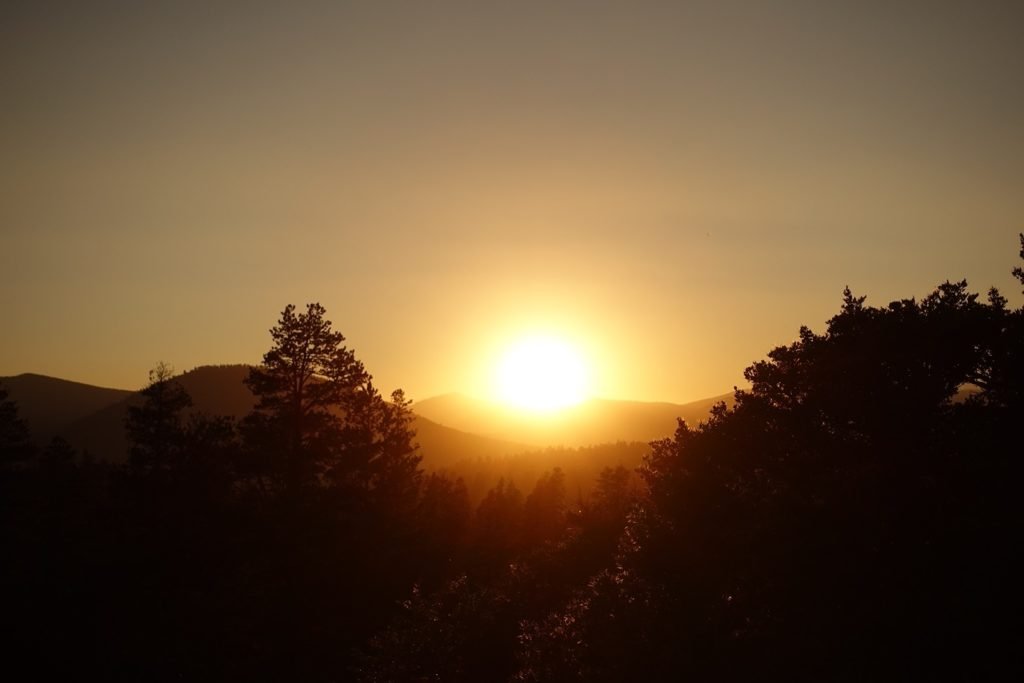
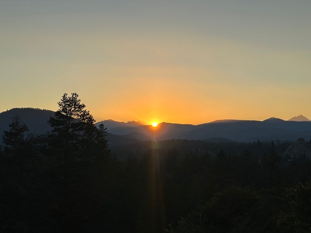
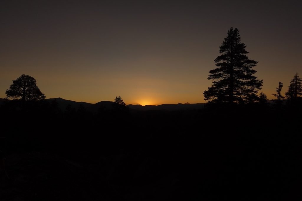
After a nice night’s sleep, I packed and headed back onto the trail. Got some glimpses of the rising sun as I climbed higher from the forest that I had camped in.

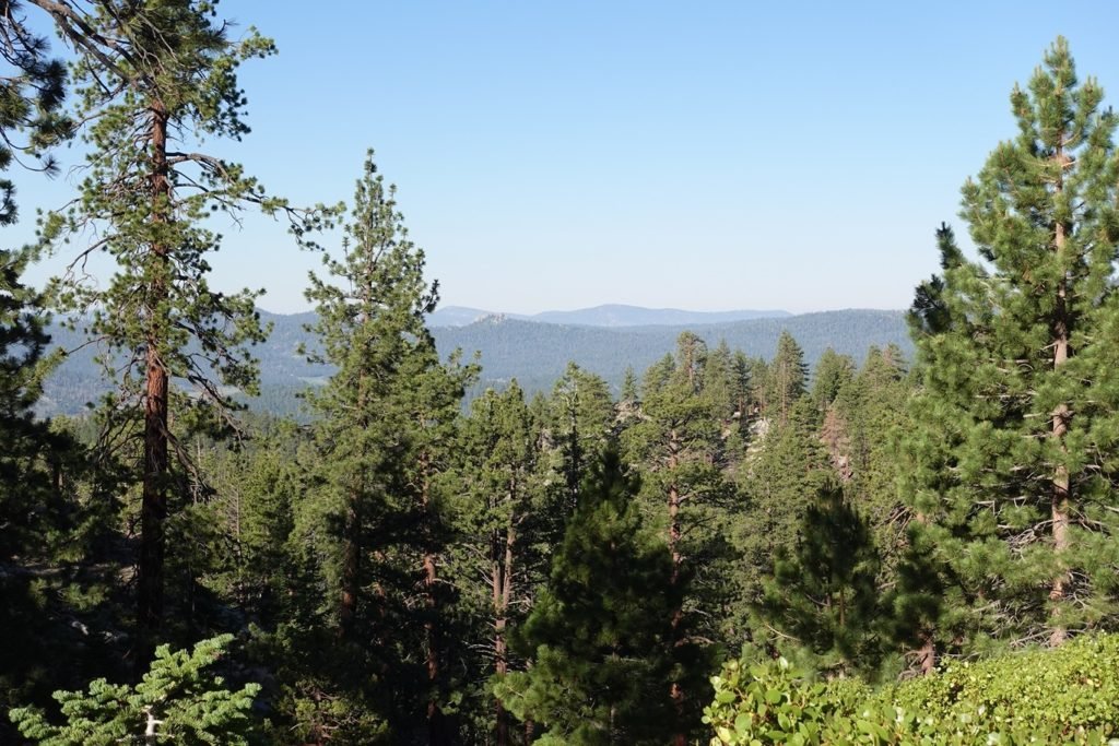
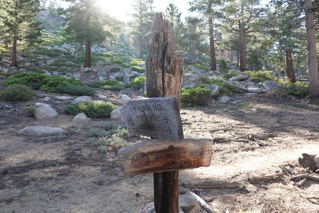
I was right to camp where I did. there wasn’t much of a view around the trail junctions leading to Olancha Pass. I would have had to push myself at least 2 more miles to get out of the trees.
I did pass some day hikers that were coming from the pass. How did I know they were day hikers? They were not dirty, tired, and had bright eyes instead of the vacant eyes of a long distance hiker. For reference, see any of my selfies from the trail.
They also had small day packs. 😀 🎒
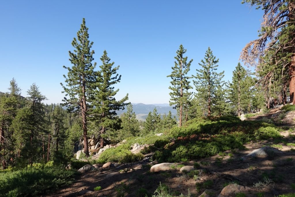

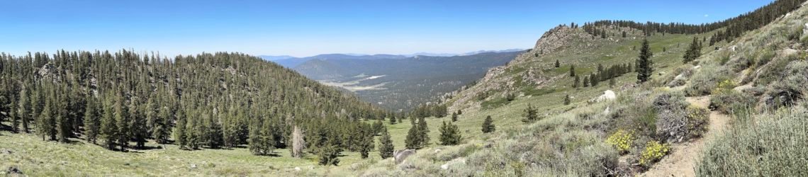
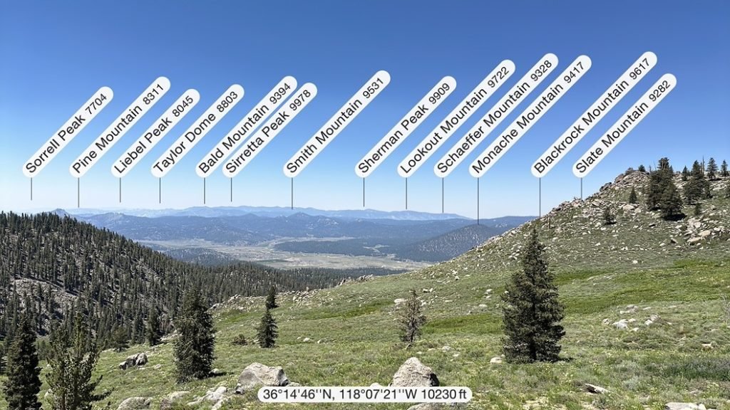
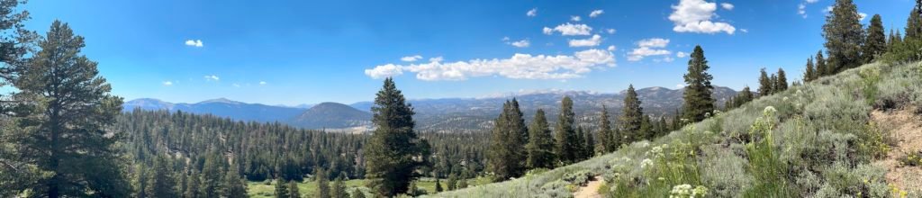
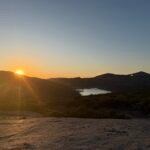
The forest opened up as I emerged onto a wide ridge line and got a good look at the western mountains. I have to admit that I didn’t really know any of the names before I looked them up on Peak Finder, but they were pretty nonetheless.


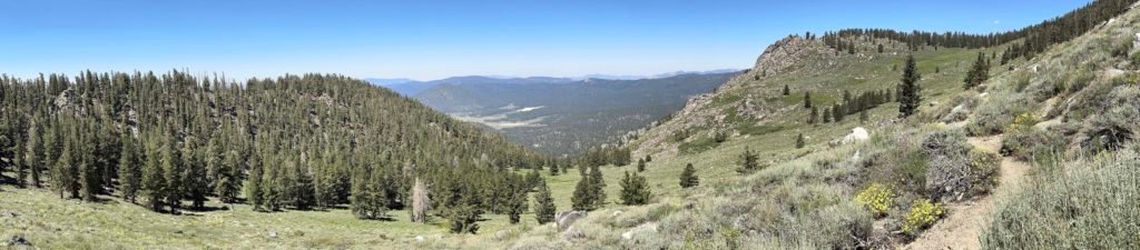
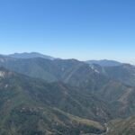
The first half of the day was dominated by a climb up to 10,000 feet, although it wasn’t that steep, it still took a lot out of me.
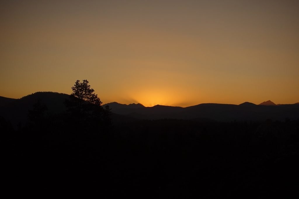
But as the day wore on, I spotted some mountains I did recognize. Mt Langley (the second 14er that I had climbed), Cirque Peak, and Trail Peak (my target to reach before I could resupply at Horseshoe Meadows).

Even as the trail had started to descend, I was starting to worry about how far I could manage to go that day. The up was hard, but sometimes the down was harder on legs already tired from the climb up. It didn’t help that my left boot was being held together by duct tape due to the super glue not managing to hold the sole and boot together very well.
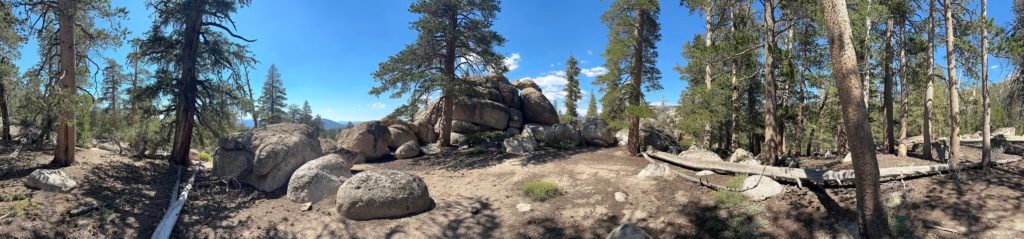
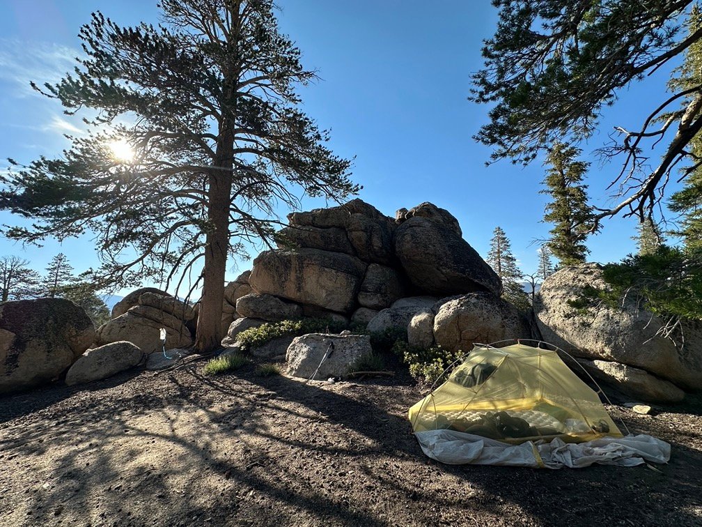
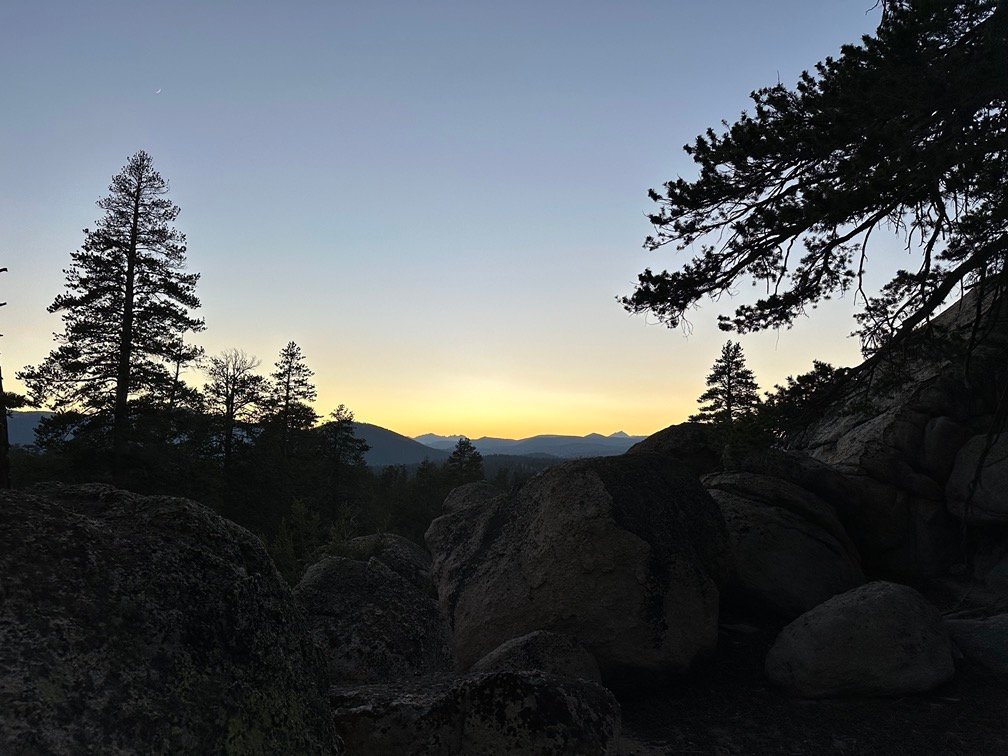
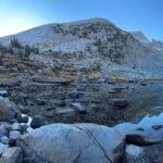
Once I started to slow down drastically, I scanned my trail info and found a campsite tucked into some rock outcroppings not too far ahead of me. It had some nice flat areas and easy access to water from a creek running below it.
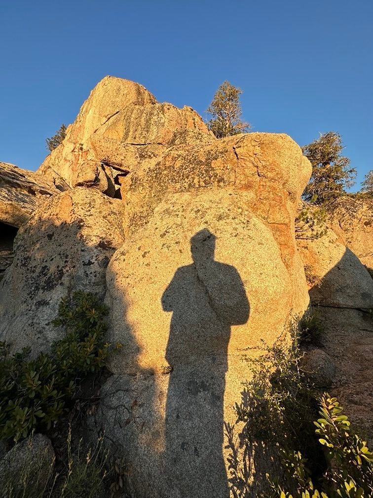
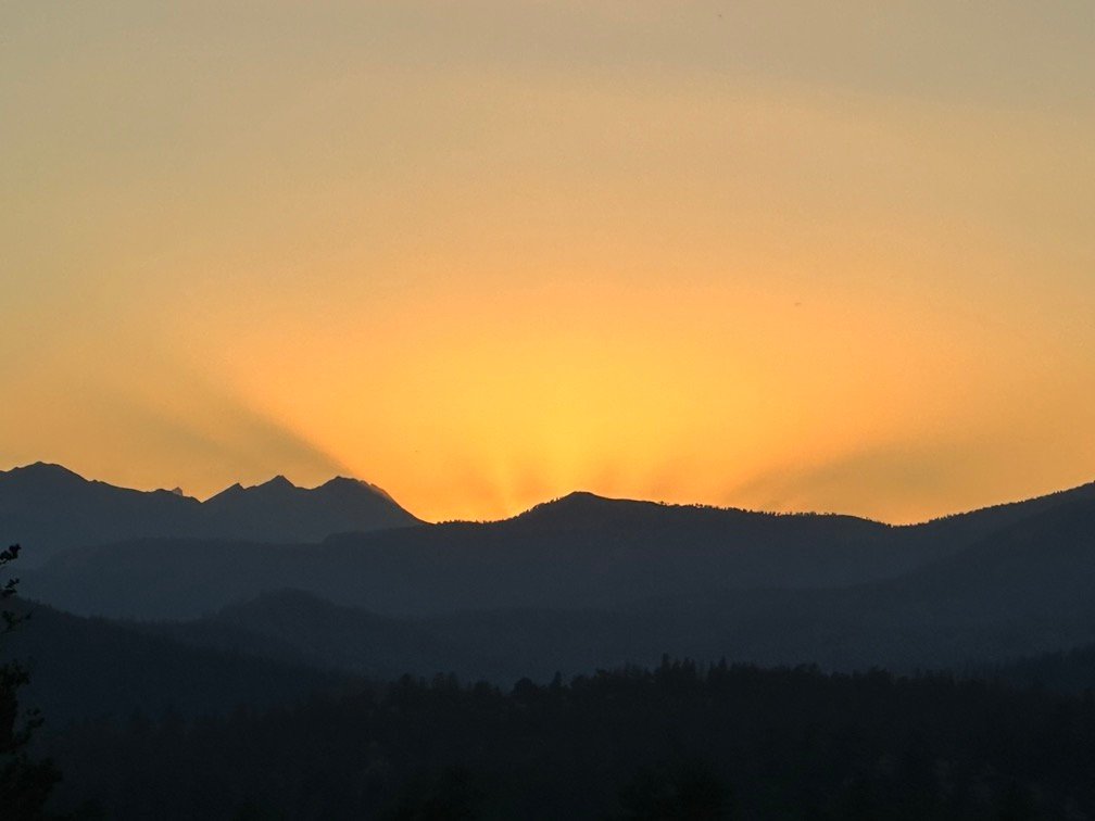
While the rocks hid the sunset location, I had planned to climb up the boulders and see it from higher up. BUT, I didn’t do any recon for that climb and found that there wasn’t any good routes up that I could see. So, when the time came to see the sunset, I had to scramble and saw it from the other side of the boulders.
Still spectacular, though.
So, I decided to take advantage of the golden glow of the sunset to take a selfie.
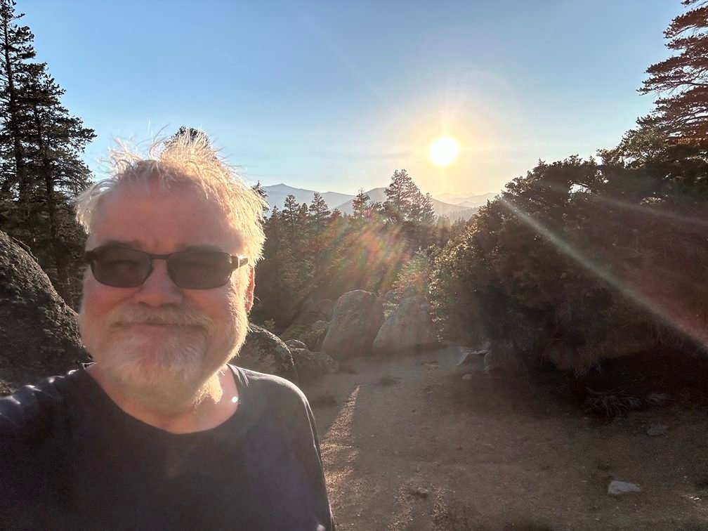
Or a more traditional selfie (with my classic ‘Trail Hairdo’):
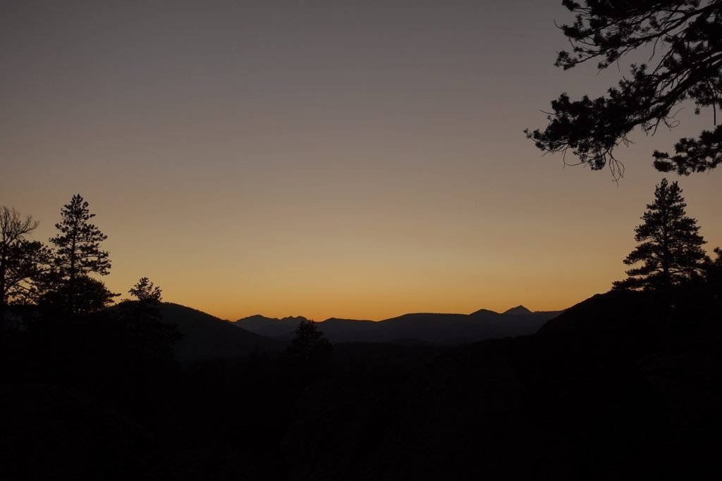
Since there was no chance of rain that night (hopefully), I decided to try putting up just my tent without the rain fly. It kept the bugs away from me (they weren’t even that bad there anyway), but allowed me a clear view of the sky all night long.
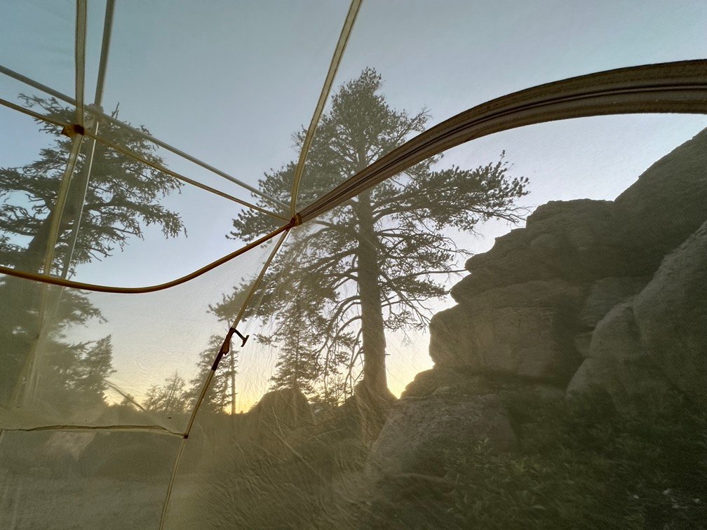
It did help me get a nice view of the Moon that I might have missed before going to sleep and there were some nice views when I woke up a couple times overnight.
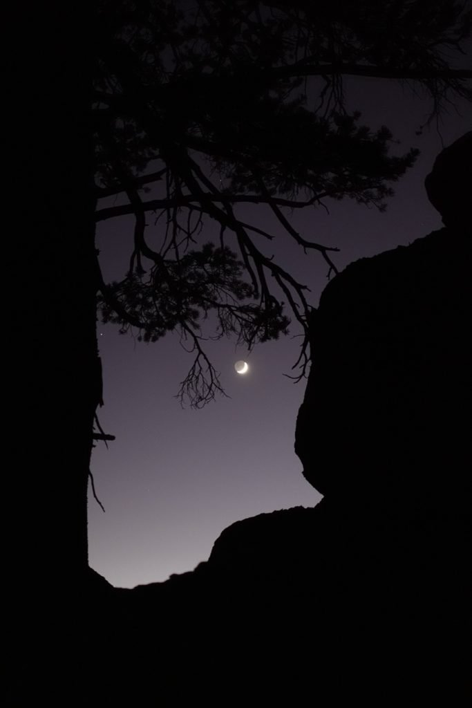
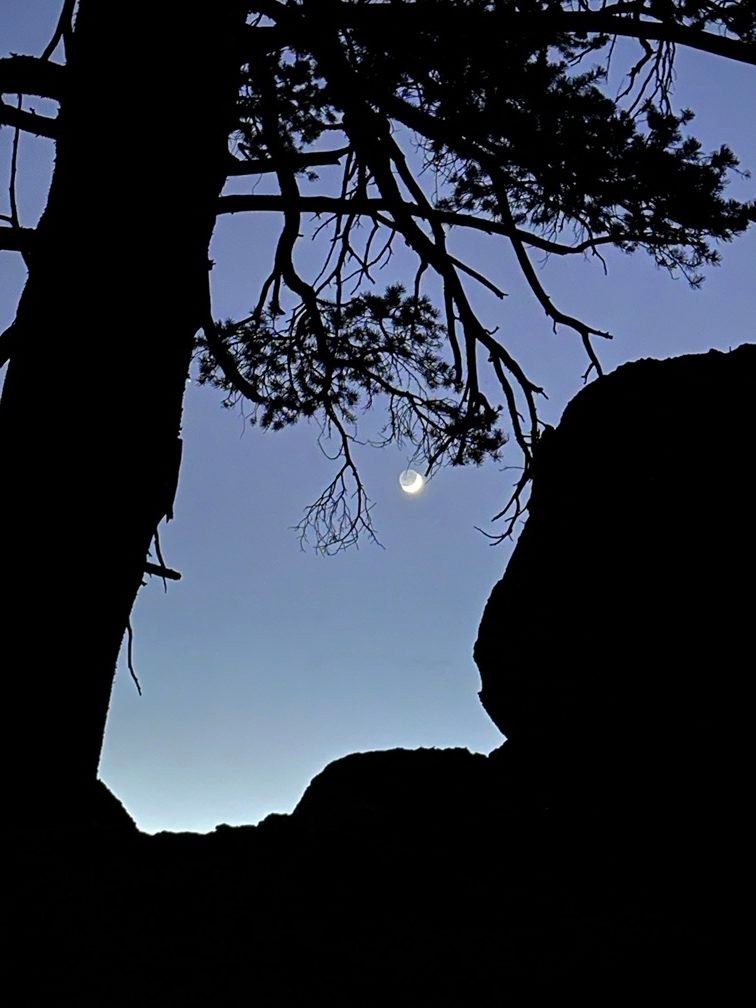
Sadly, no good pictures of the stars. The netting messed up the pictures I tried to take from inside my tent. Next time I’ll preview the view from inside, but take the pictures outside of the tent. One of the better ones: 😀

Goal for the day: Pretty easy to succeed when you don’t have a particular goal in mind 😀
Day 9 – 9.5 miles – 9 hours
PCT section G – 75.8 trail miles out of 115 total miles
(mileage and time approximate and based on GPS tracks which may not be exact and include diversions from the trail)


1 Pingback