
Goal for the day: Little Chicken Spring Lake or beyond
My ride up to Horseshoe Meadows wasn’t until 8 am, so I would have time to get a real breakfast, shower, and see the sunrise.
Slept through the sunrise, but that’s okay in this case. Every little bit of rest before returning to the trail helps.
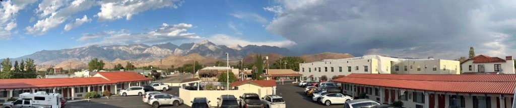
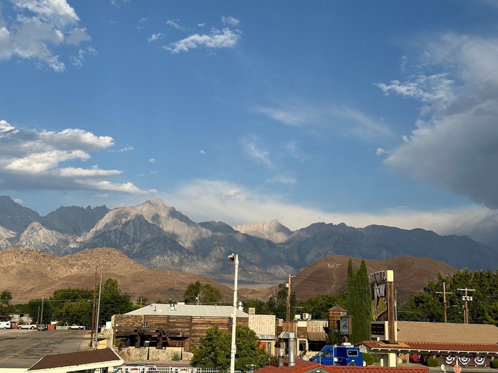
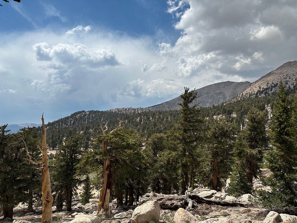
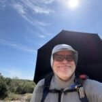
I was worried about the dark clouds over the mountains and the weather report did have potential showers for the next two days, but even that was okay. Part of the reason I took the Zero Day was to avoid bad weather once I reached Mt Whitney. If I hadn’t come down to Lone Pine, I’d be reaching Guitar Lake this day and climbing Mt Whitney the next day. Hopefully the clear weather forecast for the days after these two days would hold true.
I resupplied expecting 6-7 nights on the trail and water was more plentiful along the rest of the trail, so only started with 1.5 liters, my 20oz Gatorade bottle, and a couple of 16oz cans of Diet Coke. The pack was light enough that I could afford the luxury of the two cans. Once I drank them, the cans were very light (plastic bottles would be heavier for the rest of the trip). I was still well under my 48 pound Walker Pass starting weight, so it shouldn’t be a problem.
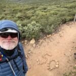
As I started from Horseshoe Meadows, I headed away from the trail head and noticed a familiar pair of hikers up far head on the trail. I never expected to see them again, but I did a double take when I saw Double Take and Grunge Bunny ahead of me.
I called out, but they were too far ahead to hear me. The light rain pelting the area might have also been encouraging them to quickly get out of the open area and into the trees.

Before long, they were out of sight. I assumed they were probably returning to the PCT via the Cottonwood Pass trail, while I had to turn south from the trail head to climb up to Trail Pass to restart the PCT from where I left it. The climb up to Trail Pass was not as steep and was shorter than Cottonwood Pass, which is why I had decided to descend from there for my resupply turned Zero Day.
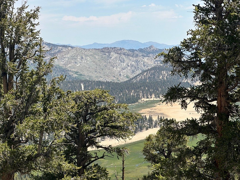
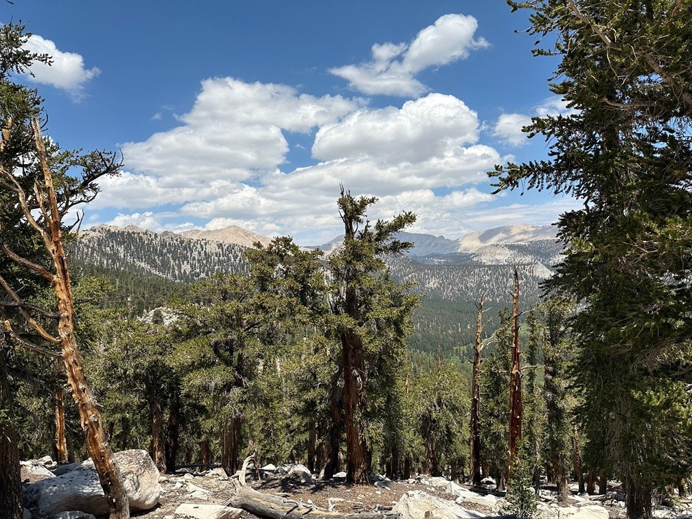
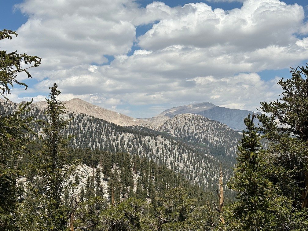
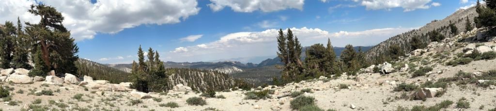
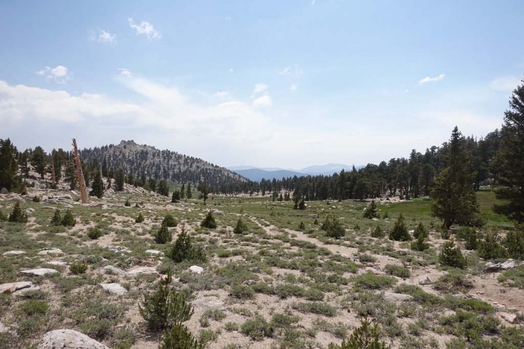
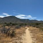
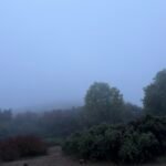
Fortunately, the light rain and drizzle pretty much ended and the clouds were breaking up by the time I had reached Trail Pass and rejoined the PCT and headed north. The trail did have to climb about 1,500 feet up as I made my way across the ridge, but it was a pretty gradual climb, so wasn’t hard. I just had to enjoy the mountains and meadows as the trail snaked along the ridge line.
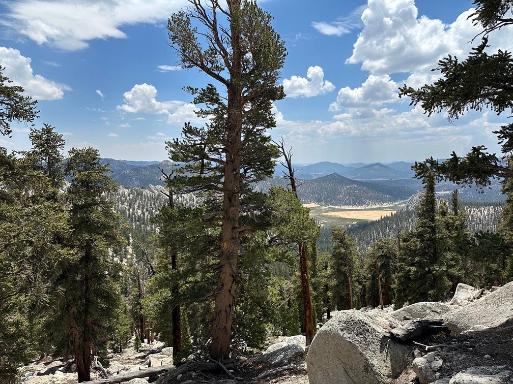
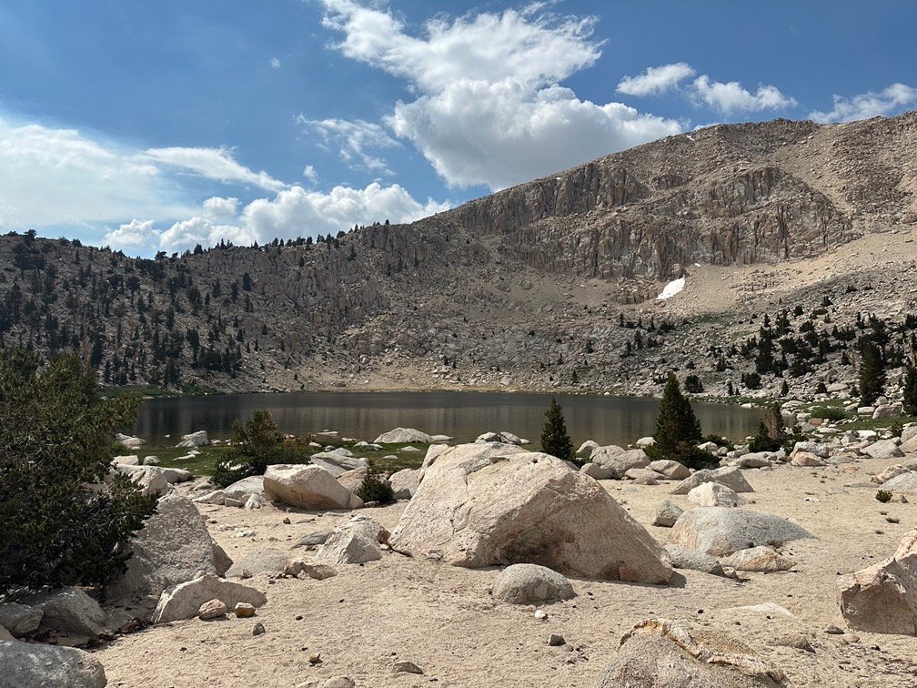
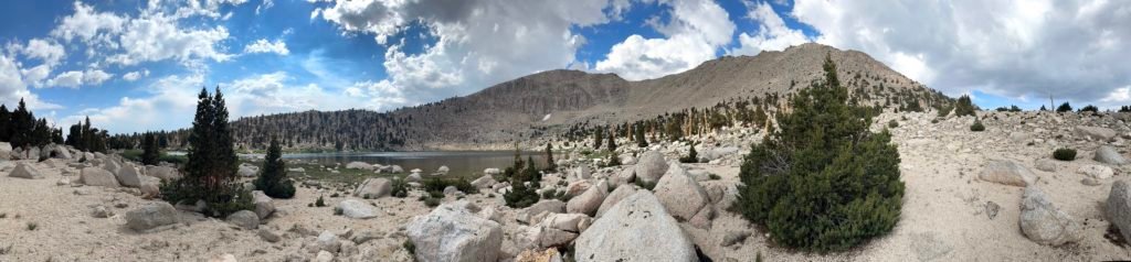
By the time I reached the Cottonwood Pass trail junction, I was pretty sure that I would end the day at Little Chicken Spring Lake. The late start and the lack of good water and campsites between the lake and where the PCT reached Rock Creek really made continuing further not that attractive.
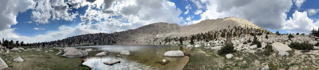
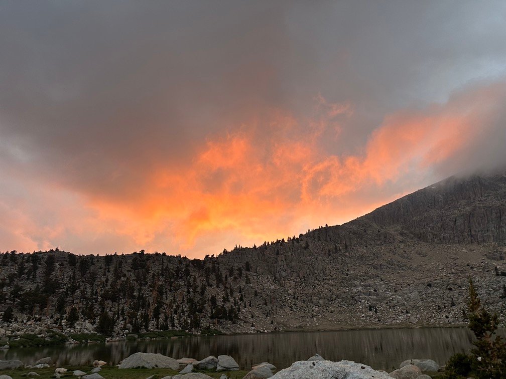
Plus this was my first proper ‘lake’ for this trek, so would be nice place to stop and take a dip in the cool water and enjoy the views around the lake.
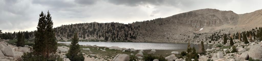
Being so close to Horseshoe Meadows and being a weekend, there were a lot of campers already around the lake. I kept going along the east side of the lake until I found an area with a good spot for my tent and seemed to be the last of the legal campsites around that area. Unfortunately, as I setup my tent the clouds started to darken and fill in the blue gaps that had been there all day.
I did manage to get a short swim in during a brief period when the sun peaked through the clouds. Granted, I had plenty of time in the pool, hot tub, and shower during my Zero Day, but there’s something magical about swimming in Sierra lakes… as long as the sun was out and they weren’t too cold. 🙂
I enjoyed one of my Diet Cokes along the lake.
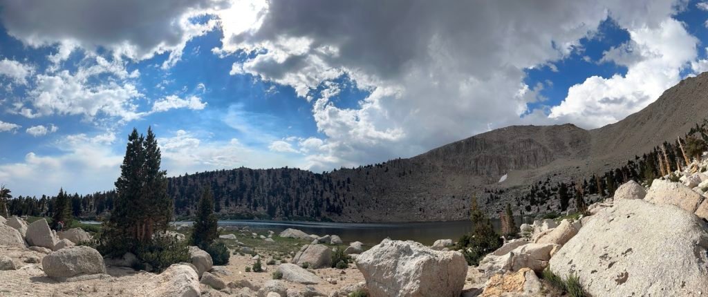

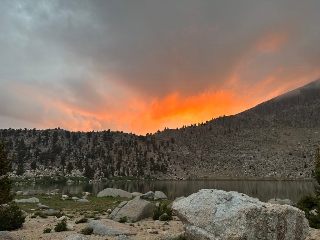
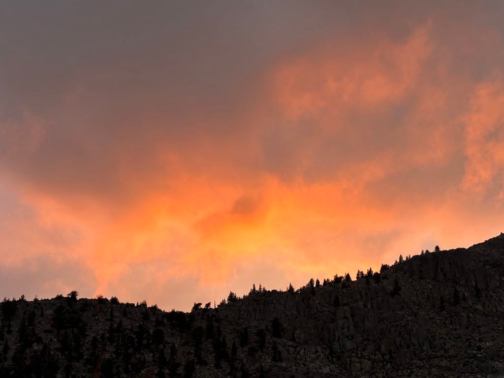
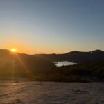
I did have to spend a little time in my tent when some rain showers passed over the area, but I did get some nice light to end the day. Better here than near Mt Whitney.
And as to the answer to my riddle: Why did Chicken Little cross the mountain pass?
To get to Little Chicken Spring Lake, of course.
(this bad riddle brought to you due to me constantly having ‘Chicken Little’ on my mind all day as I hiked towards Little Chicken Spring Lake)

Goal for the day: Success!
Day 13 – 9.5 miles – 7 hours
PCT section G – 98.7 trail miles out of 115 total miles

(mileage and time approximate and based on GPS tracks which may not be exact and include diversions from the trail)


1 Pingback