Goal for the day: Rock Creek or beyond
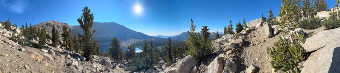
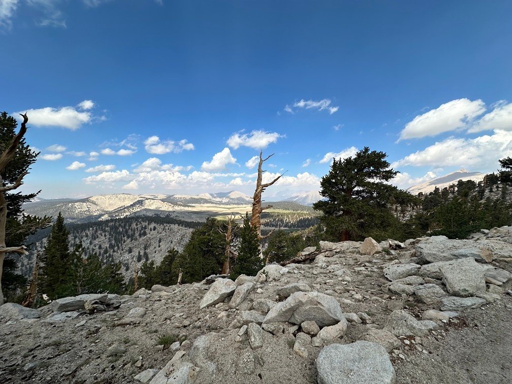
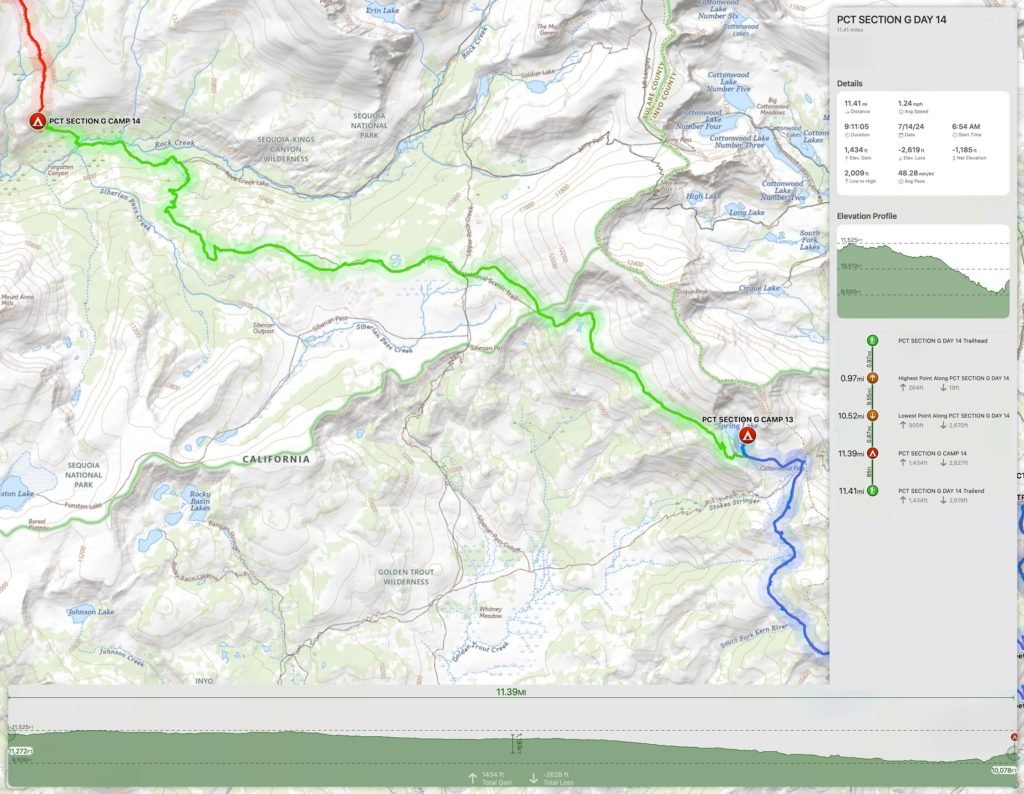
The skies were crystal clear when I woke up and I enjoyed some light playing across the ridge lines around Little Chicken Spring Lake as I had breakfast and packed up my gear.


As I left the lake, I noticed a very large group at the south end of the lake. Large tarp for cooking, plus a lot of tents, and a bunch of lawn chairs.
Had to be either a group just coming from Horseshoe Meadows for a single night or a pack train trip.
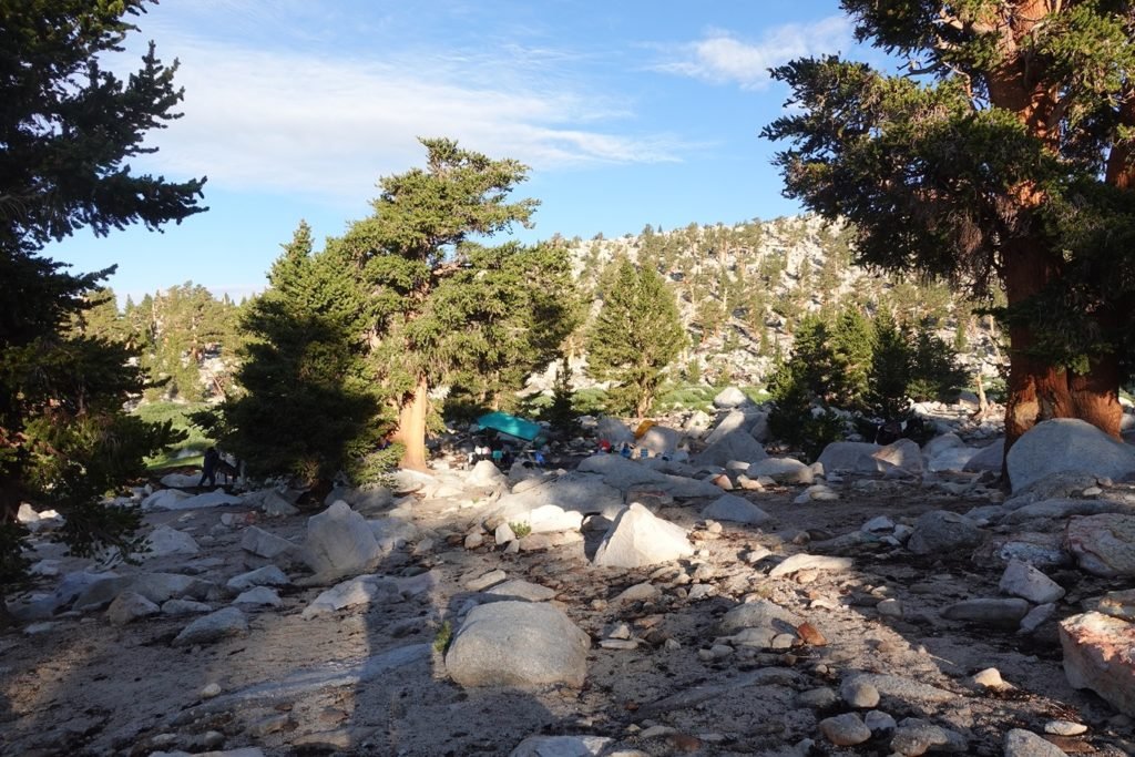
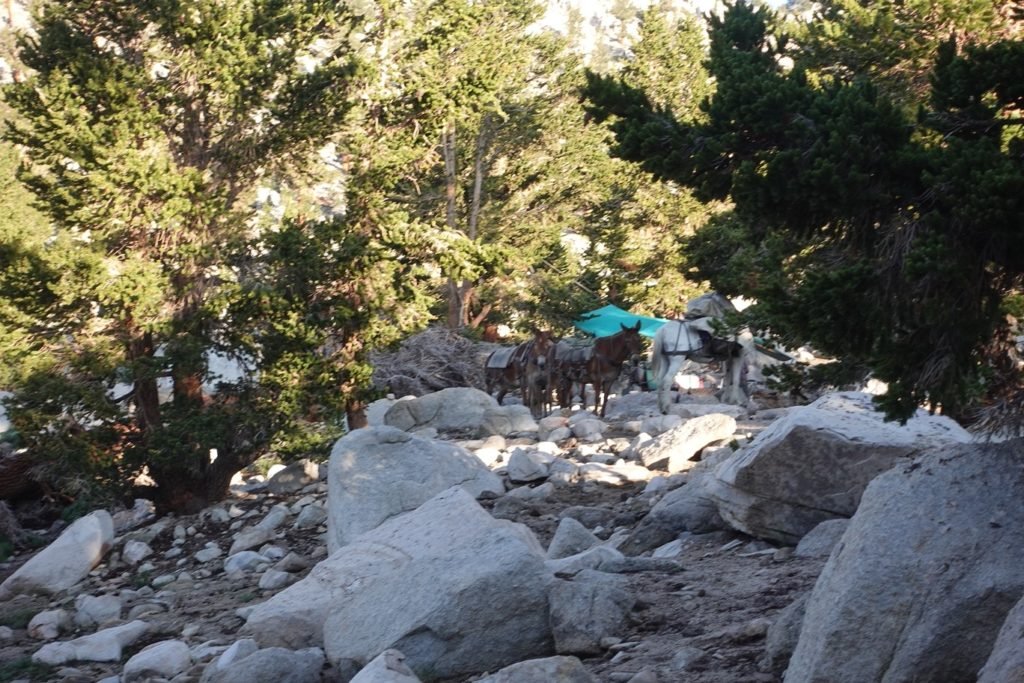
Yup, mule pack train to carry the lawn chairs and heavy gear.
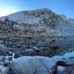
Once back on the PCT, I had some nice views of the sun rising over the lake as I continued west.
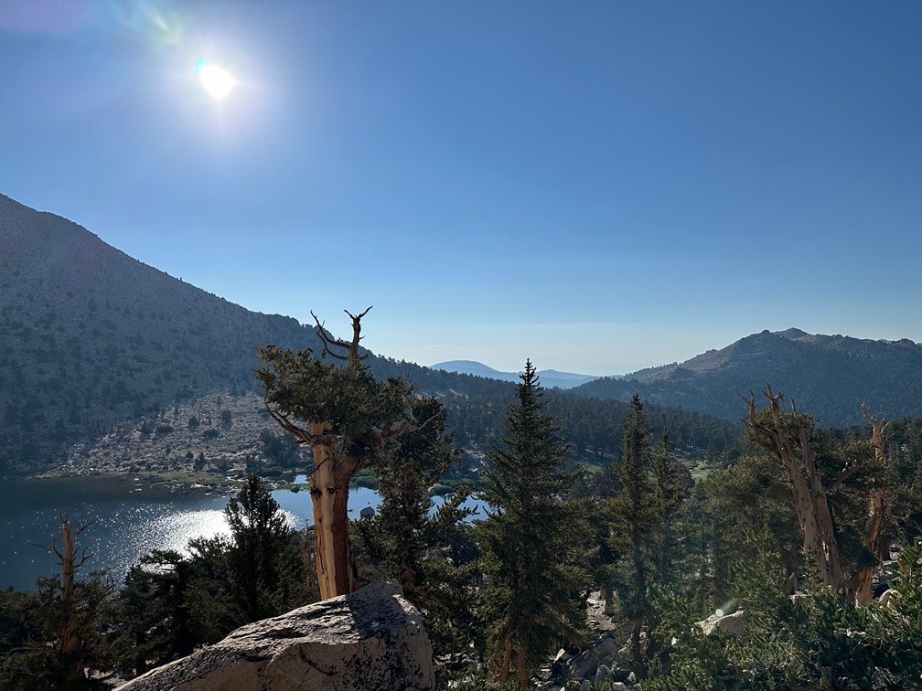

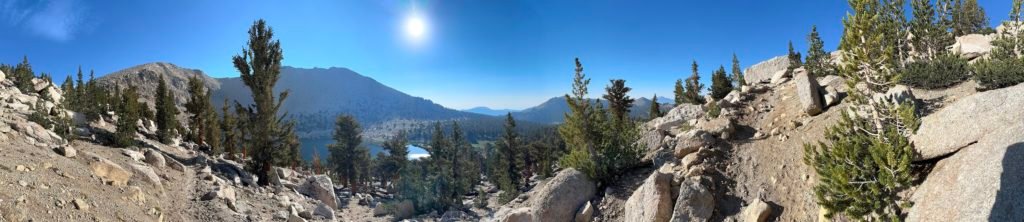
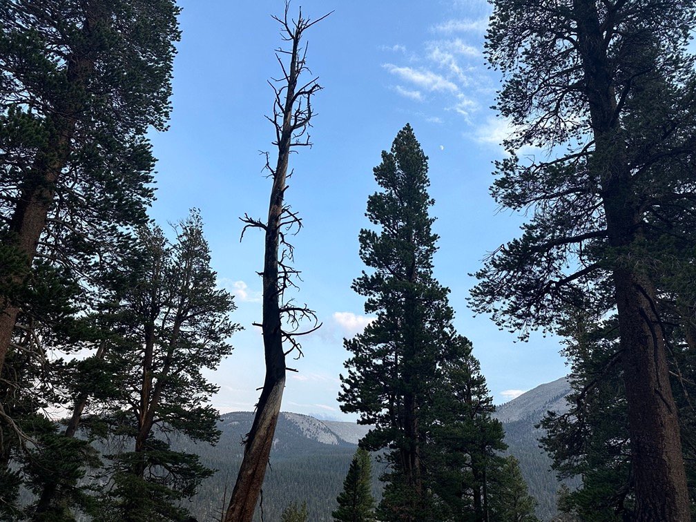
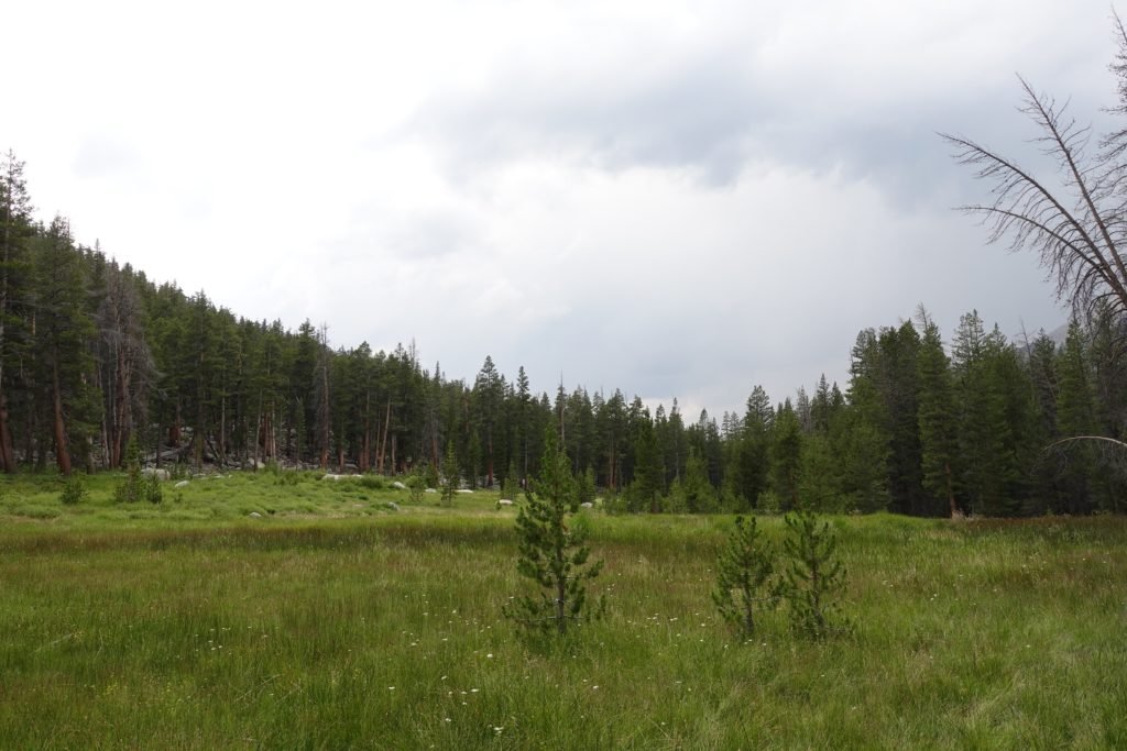
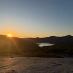
The trail ran along a ridge line before starting down into an area with several meadows. One of them was called ‘Siberian Pass Meadow’, which may have been named during the winter months since it looked pretty welcoming in comparison to the real Siberia.
Along this part of the trail, I ran into some day hikers. Or what looked like some day hikers.
Turns out they were part of the big group I had seen at the lake. They were headed towards Mt Whitney after starting from Cottonwood Pass. Due to wilderness permits from Whitney Portal being hard to get, many people used Cottonwood Pass to climb Mt Whitney from the west side. And organized trips using pack trains also apparently used this route as well.
Like my Kilimanjaro trek, sometimes not having to carry your gear and food makes treks easier or even possible.
But a part of me still liked the challenge of having to carry everything myself… most of the time.
Didn’t stop me from being a little jealous of their light day packs. 😀
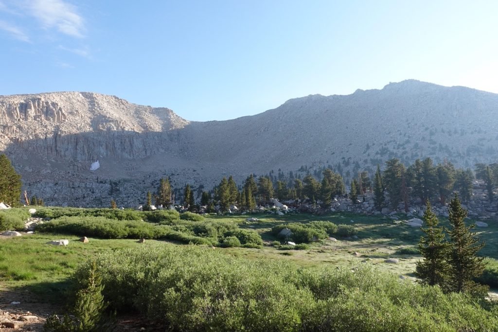
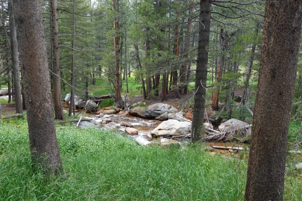
As I neared Rock Creek, I was starting to worry about the clouds that were starting to drift in above the area. I hoped that wouldn’t lead to rain while I was on the trail.
The skies were still dry as I reached the Rock Creek crossing.
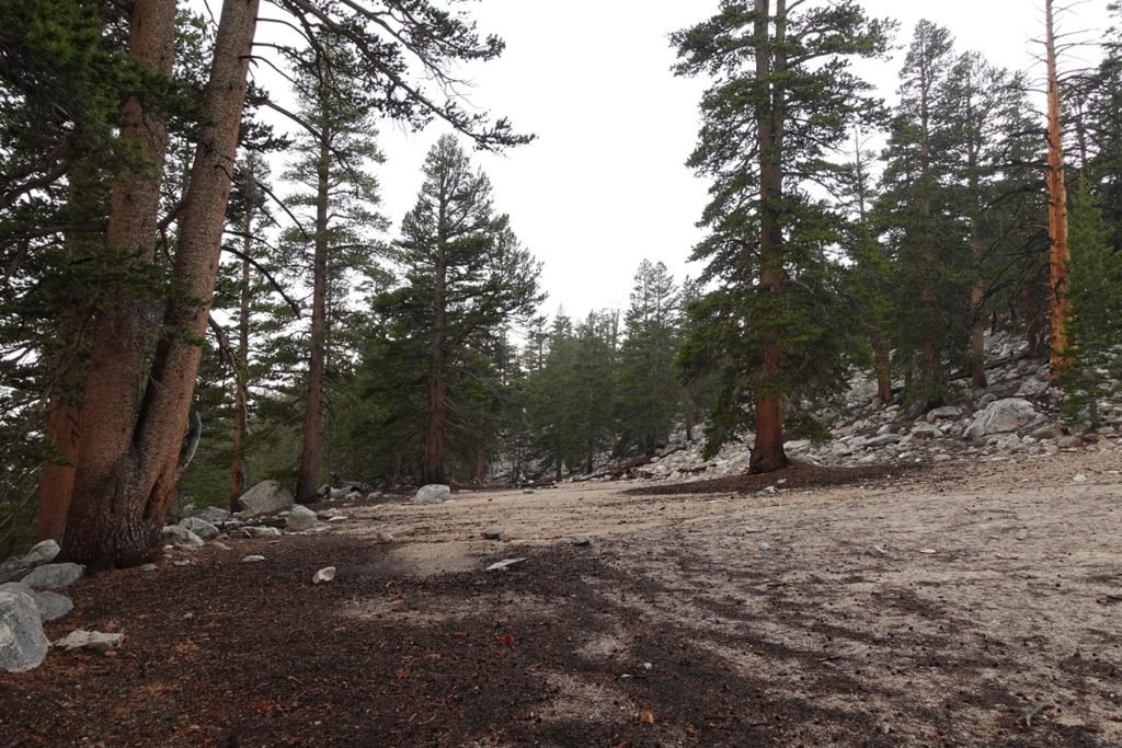
Instead of stopping and using one of the many campsites in the trees around the area, I decided to head higher to get a campsite along the ridge that the trail climbed up. Partly since it was still a little early, but also due to me preferring a view over camping in the forest.
That turned out to be a bad choice.
I was about a half hour from the first possible campsite when the skies opened up. And it wasn’t a light rain.
It was a downpour.
And it wasn’t a short downpour. It continued as I tried my best to climb that last half mile.
I reached the area that I had been targeting, but with the downpour I had to cower under the trees hoping for a gap in the rain long enough to setup my tent.
It was a long wait.
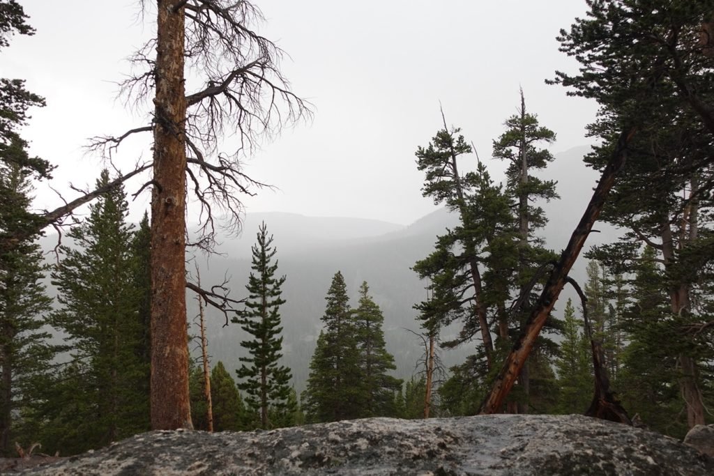
I saw many other hikers passing by on the PCT, heading further up. I was tempted to follow them since once the trail crested the ridge, there was a wide area with plenty of flat areas to camp as the trail snaked towards Guyot Pass.
Granted, there were flat areas around me, but as the rain poured down, I started to realize that the area around me was mostly drainage for the ridge line the trail was climbing. The pools of water forming were going to limit where I could put my tent.
In the end, I stuck to my mostly dry spot under the biggest tree and managed to get my tent up near that tree during a brief time where the rain wasn’t coming down as hard and I could use the tree partly to get the rain fly over the tent without getting the inside of the tent soaked.
I waited out the rain and when it finally ended, I decided to move my tent to a more open area.
Why? Being under the tree, I was still getting a lot of water splashing on top of the tent as it dripped off the large tree above me.
Better to move it to a spot that didn’t have a pool of water and wouldn’t drip water on me all night while I could.
Goal for the day: Success (albeit soggy success)!
Day 14 – 11.5 miles – 9 hours 15 minutes
PCT section G – 109 trail miles out of 115 total miles
(mileage and time approximate and based on GPS tracks which may not be exact and include diversions from the trail)


1 Pingback