Goal for the day: Forester Pass and beyond
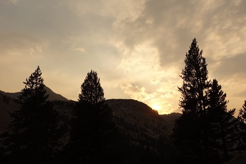
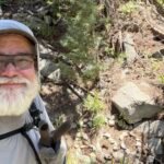
I awoke to scattered clouds, but did get to see some blue skies and light from the rising Sun as I packed and set off North on the PCT once again.


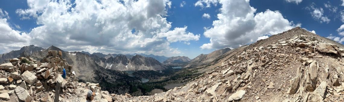
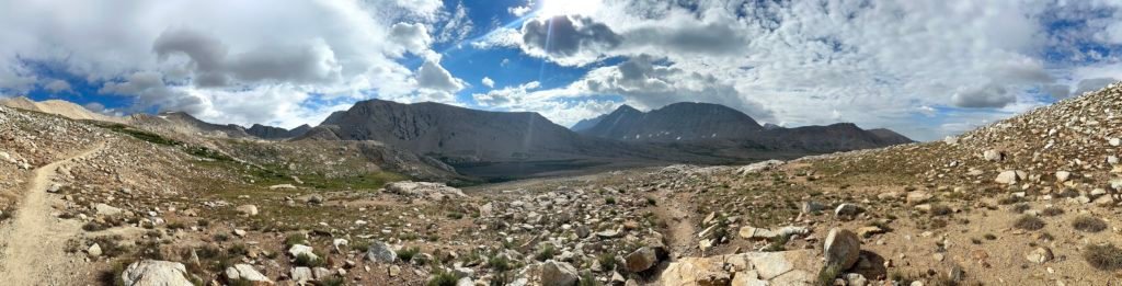
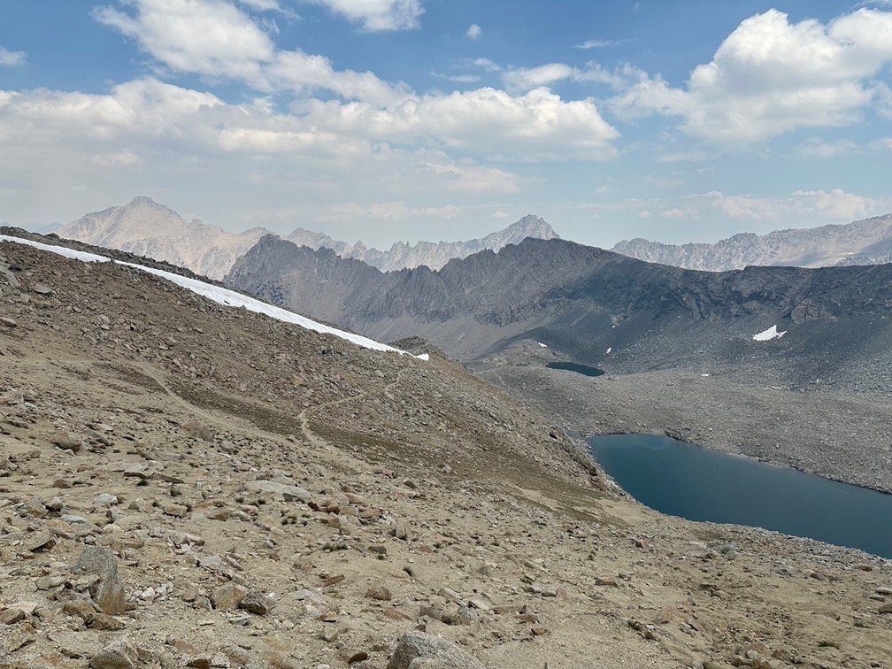
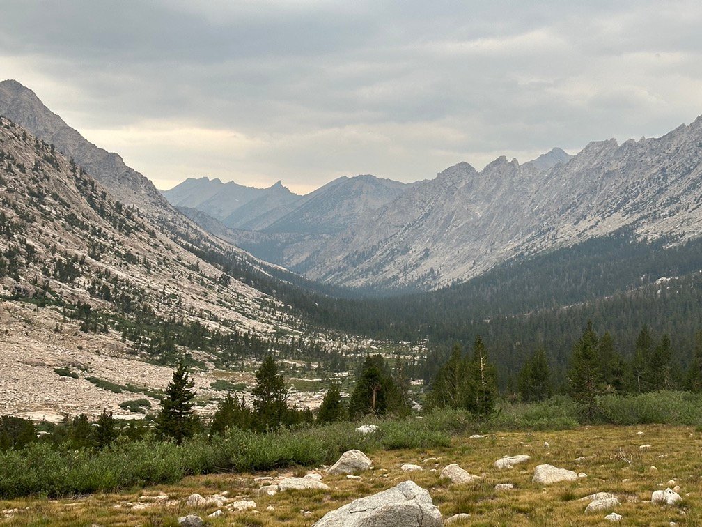
After crossing Tyndall Creek and seeing a lot of tents all around, I emerged into a large plateau that led to Shepherd Pass to the East and Forester Pass to the North.
It was always a spectacular sight. I had climbed the long Shepherd Pass when I climbed Mt Tyndall and tried to climb Mt Williamson. I had skipped Mt Williamson since I had dislocated one of my fingers and didn’t trust it to climb the class 3 chimney on that 14er. During planning, I did entertain the idea of ending this long trek by climbing those two 14ers to make up for missing out on Williamson all those years ago.
But I had decided that would be very hard after a long trek from Walker Pass and set my goal for Onion Valley. I still technically had the option to go East and try it, but I didn’t have any recent info on conditions. It was always pretty far down the options list.
Of course, during planning I also gave myself the option of going further North on the PCT than the trail to Kearsarge Pass. I had even left a resupply bucket in Lone Pine and shipped one to Muir Trail Ranch (about 8-9 days in front of me) just in case I decided to extend my trek.
At the moment, the choice I had to make was to go East or North.
I kept going North towards my nemesis: Forester Pass
Two times before I had climbed this 13,153 foot monster. Both times I found it a never-ending grind up the North slope that led to the actual pass.
Besides the Summit of Mt Whitney, it was the highest point on the John Muir trail. It was also the highest point on the Pacific Crest Trail. And seemed like a good end to this long trek if I didn’t continue over Glen Pass the next day.


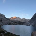
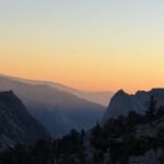
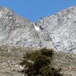
Looking behind me, I did get another peek at Mt Whitney as it poked itself along the ridge that ran West from Mt Tyndall.


I even managed to catch a glimpse of the ragged peak of Mt Williamson to the left of My Tyndall.

Mt Tyndall marked by the blue arrow and Mt Williamson by the red arrow.

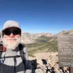
It wasn’t long before I could finally make out Forester Pass in the distance.

Yup. Clear as day.

Partly to reassure myself, I even took a photo with me pointing out Forester Pass.

Didn’t look that bad yet, so I kept heading towards it instead of running away screaming.


Hmmm… the sharp drop off below the pass started to look a bit more steep than I remembered from my previous two descents from the North side. But I attribute that to the horribly long slog of climbing up the long slope from Vidette Meadow to Forrester Pass from the North side exhausting my body and mind to the point that I was a zombie while descending the other side.
Surely the South approach would be better. Right?
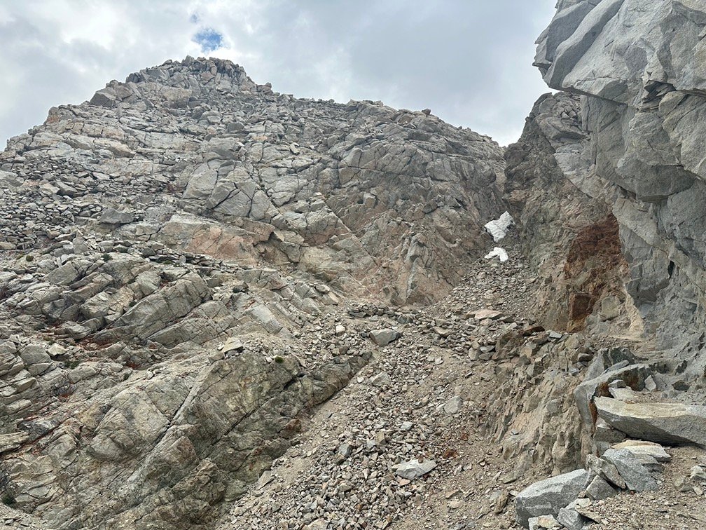
I knew the South side of the pass was a very rocky series of switchbacks, but never really paid them too much attention after conquering the pass from the North.
Maybe it was since I never saw them from this angle.

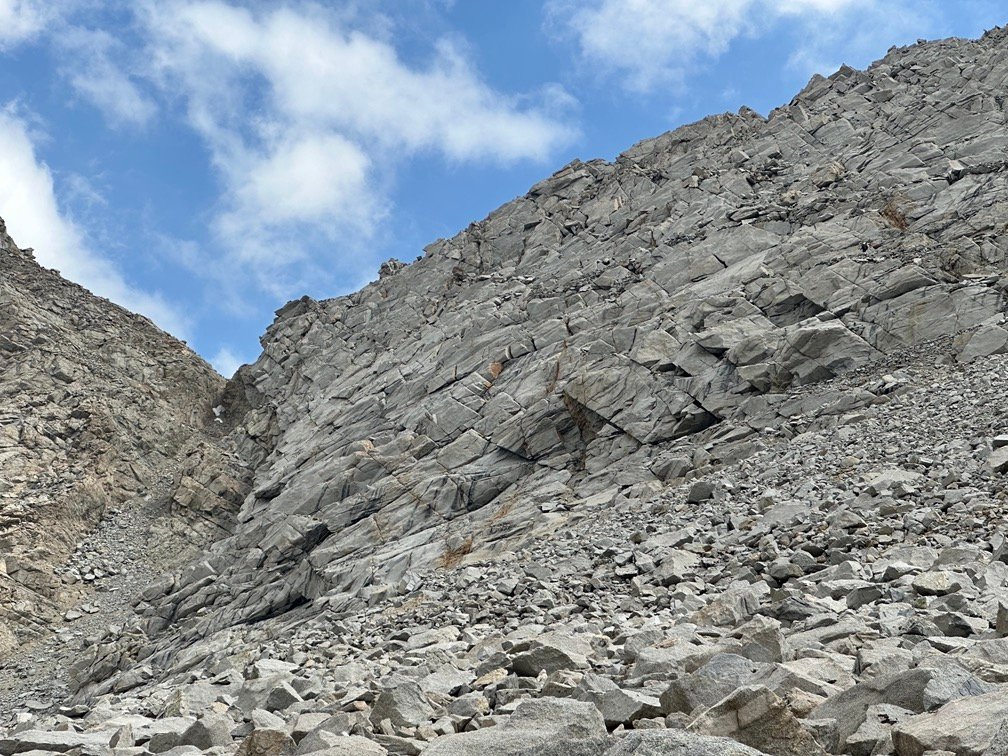
Well, as usual, it wasn’t easy to pick out the trail and switchbacks among all the rocks and solid granite that made up the ridge.
I tried to trace the entire set of switchbacks in the photo below, but couldn’t quite make out the entire path of the trail and switchbacks So, I settled for arrows on the bits I could find.

Getting closer helped, but was still a little scary looking from below.

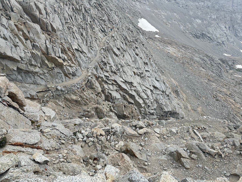
I was able to see a person at the top of the pass, so at the very least I knew I was headed in the right direction. The last time I climbed over Forester Pass, I had been fixated on a false pass that looked similar to what I remembered. So, seeing a person up there made me confident I was at least headed towards the right destination even if it wasn’t a straight trail to that destination.
It usually never is on the JMT or PCT.
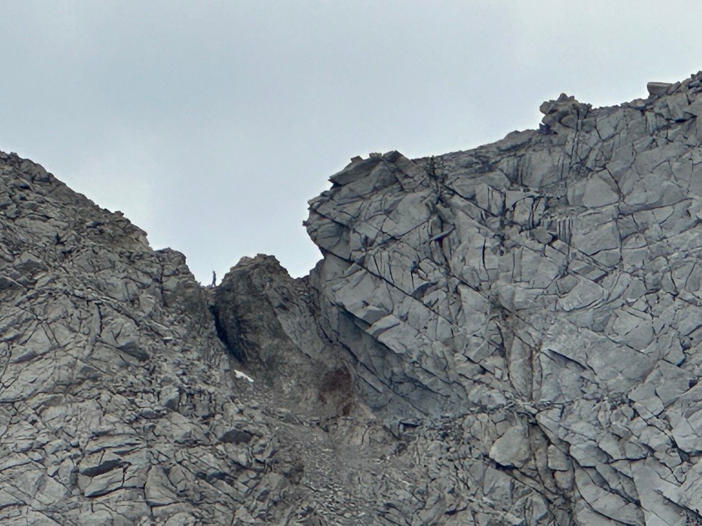
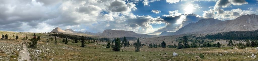
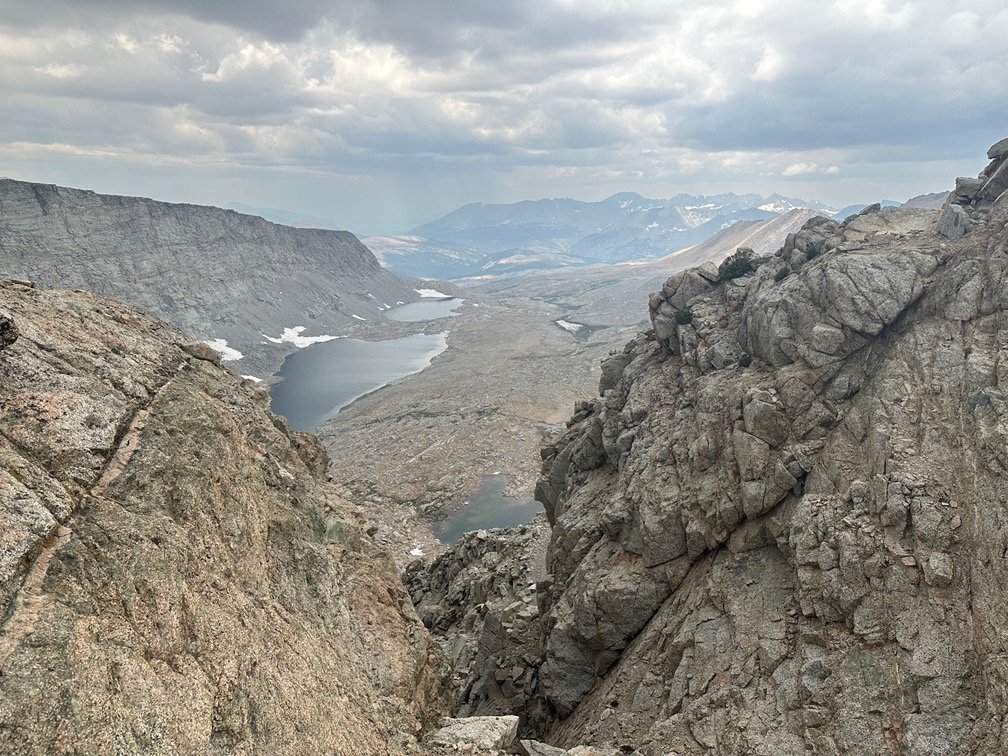
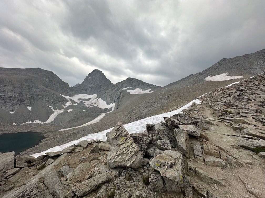
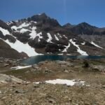
As I neared the bottom of the switchbacks (or the start of them from this direction), I had a chance to scan the area all around me and it was a gorgeous sight.


But I had to start up the dreaded switchbacks. As I climbed, I made sure to take breaks to take in the scenery and take some pictures. Granted, I seemed to do it every time I needed to catch my breath and get a quick rest. Just a coincidence… really. 😀

It took time, but I could see the progress as I climbed the switchbacks.

And the goal seemed to be in reach.
Of course, then another corner appeared and I had to go in the opposite direction as the top of the pass. Finally, I reached a very long section of the switchbacks that at the very least let me know I was nearing the end.
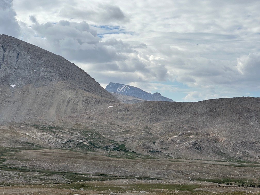
Still looked scary looking in either direction.

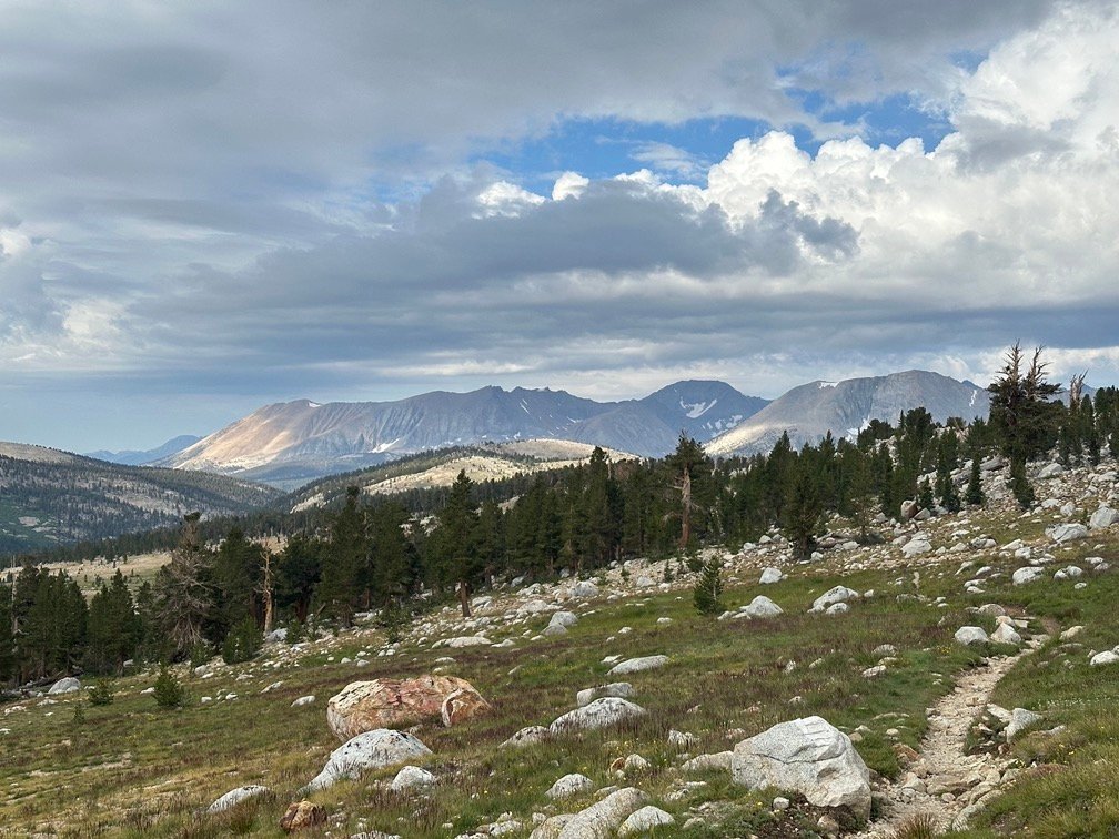
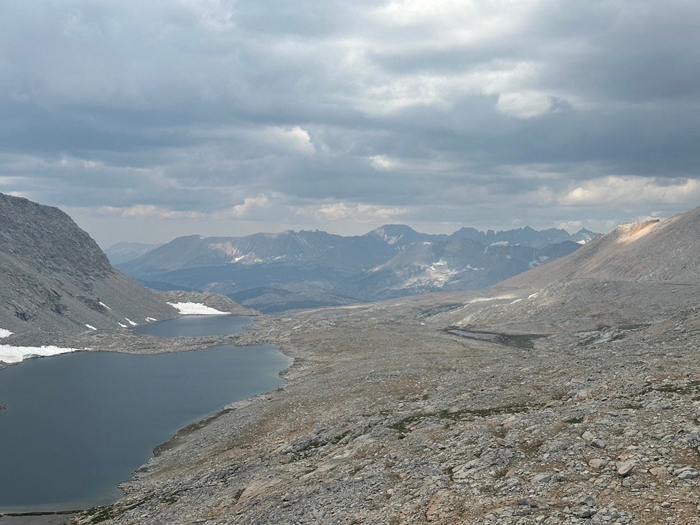
Still some great views, though.


The pass drew closer.
And it still looked scary looking down from there.

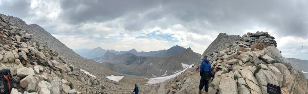
Then I saw the sign!!
No, not a sign from the Heavens.
The sign that marked the top of Forester Pass!!
Goal in sight! Maybe it was a sign from Heaven after all. 😀

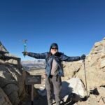
Feet on the top!

Obligatory photo at the top taken by a fellow hiker.

Then I put down my pack and sat on a nearby rock and exhaled, exhausted.
But looking back at the climb and comparing it to the last two times I climbed it from the North side I came to the conclusion that climbing it from the South side…
Wasn’t that bad… Really.
Yeah, surprised me when I realized that.
It could have been the great view all around me that was soothing my tired body and soul. That was one of the factors, but in the end the approach from Tyndall Creek wasn’t as long or steep as the approach from Vidette Meadow.
So, while the switchbacks looked daunting from the bottom, at the top of the pass I realized that they weren’t that hard to climb and navigate. Sometimes it’s the mental image you have of something that is the most scary and the hardest challenge you face.
Sometimes, it’s both the mental and physical side of a hike that exhausts you before, during, and after a climb.
But conquering both is part of the challenge and enjoyment I get from hiking.
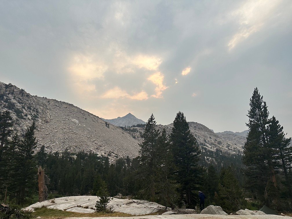
Then the skies had to open up and throw some cold water on my excitement of getting to the top of the pass..

Or some small frozen bits of water…
As I recuperated at the top, it started to hail on everyone there.

But small pellets of hail was better than a downpour of endless hard rain coming down.

I put up with the light hail for a little while before I eventually decided it was time to start down the North side of the pass. How far I got would depend entirely on how I felt and how the weather developed on the way down.
There was one place about half way down towards the bottom of Vidette Meadow that I had seen and thought would be a great place to camp, but that was still a long descent away.
There were switchbacks on this side, but just a handful and easy to descend down. I actually didn’t know they were there the first time I climbed up from the North side since they had been covered by a large snowfield left by a heavy snow year in 2017.


Speaking of snowfields, there was one part of the trail that I had to cross a snowfield.

It seemed to be more of a glacier since it had been there the first two times I had climbed up this trail. There was even a well worn detour trail that dipped below it, that further made me think it was always there. I still crossed the snow since it wasn’t a difficult crossing over the well packed down snow and I hated people who created shortcuts or cut switchbacks.
I did find the path the trail took to get down the cliff side interesting, since it seemed to go out of it’s way to make itself longer and more annoying. Maybe that was one of the things that pissed me off when climbing up this trail.
It wasn’t that bad going down, it just took time.


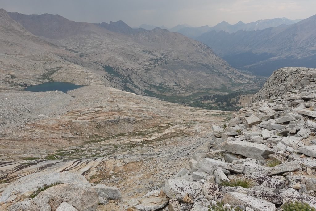
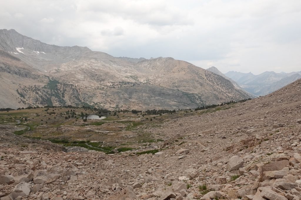
As I reached the area that I had seen on my previous two climbs up to Forester Pass that would be a great place to camp, I wasn’t sure it was worth stopping. I made a difficult decision to continue down towards Vidette Meadow.
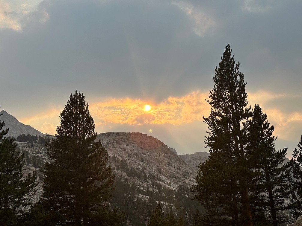
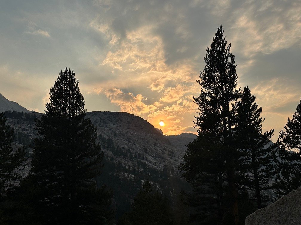
Mostly since the weather made it unlikely to allow the Sunset to be much to look at. But also it was still mid afternoon and I was feeling the desire to get close enough to Kearsarge Pass to be able to exit to Onion Valley the next day. So, that (and gravity) kept me going downward.

Some sprinkles of rain also made me want to keep going downward towards a lower elevation with more tree cover.


But maybe not too far.
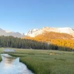
I ended up at a camping area used by a lot of PCT hikers near Bubbs Creek. It had water nearby, lots of flat areas to camp on (so wasn’t that crowded), and even some nice views if the clouds played nice that evening. It helped that going any lower into the meadow would end up putting me under the trees and preclude any sort of view for the night. Hope springs eternal.
My tired body also helped in the decision to stop there for the night.
And while it would be a long day’s hike the next day, I should be able to reach Onion Valley before nightfall… hopefully.

Even with the clouds, it did turn out to be a pretty nice view as I drifted off to sleep.


Kind of wished I had stopped at the higher campsite I had been eyeing since maybe the colors would have been spectacular higher up after all.
But that would have meant at least one more night on the trail before reaching Onion Valley and I was definitely feeling the need to get a rest back in civilization. At least a Zero Day, but I was wondering if that would be enough to get me in any condition to return to the trail.
Not the first time I’ve ever felt that way on the trail.
Scorecard for Forester Pass (13,153 feet) after 3 times to the top:
| Climbing North side of pass | Very hard (2x) |
| Descending South side of pass | Not too bad (2x) |
| Climbing South side of pass | Not too bad (1x) |
| Descending North side of pass | Easy (1x) |
Goal for the day: Success!
Day 2 – 11.13 miles – 10 hours 40 minutes
PCT section H – 17.3 trail miles out of 175.5 total miles
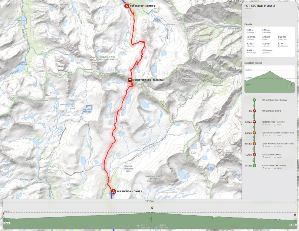
(mileage and time approximate and based on GPS tracks which may not be exact and include diversions from the trail)


1 Pingback