Goal for the day: Somewhere beyond Woods Creek Trail Junction
Normally, my best picture of stars on the trail are taken with my Sony ZV1 due to it’s long shutter being able to do up to a 30 second shutter. But once and a while my iPhone 14 Pro Max gets the right conditions and lighting to grab a good clear picture of the stars over the surrounding scenery.
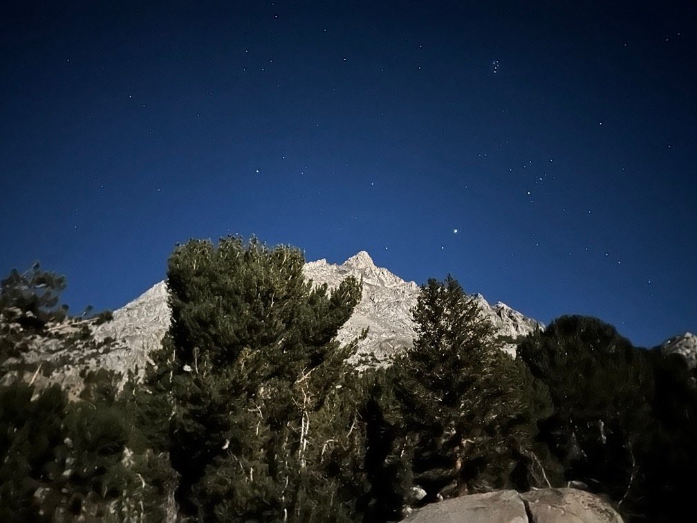
As the morning light started to rise to the East, the mountains to the West started to light up. As always, it’s a great way to start the day. I’m sometimes surprised to hear that some backpackers like to sleep in late in the morning. I can’t imagine missing the morning light and getting an early start to the day during the cool morning hours.

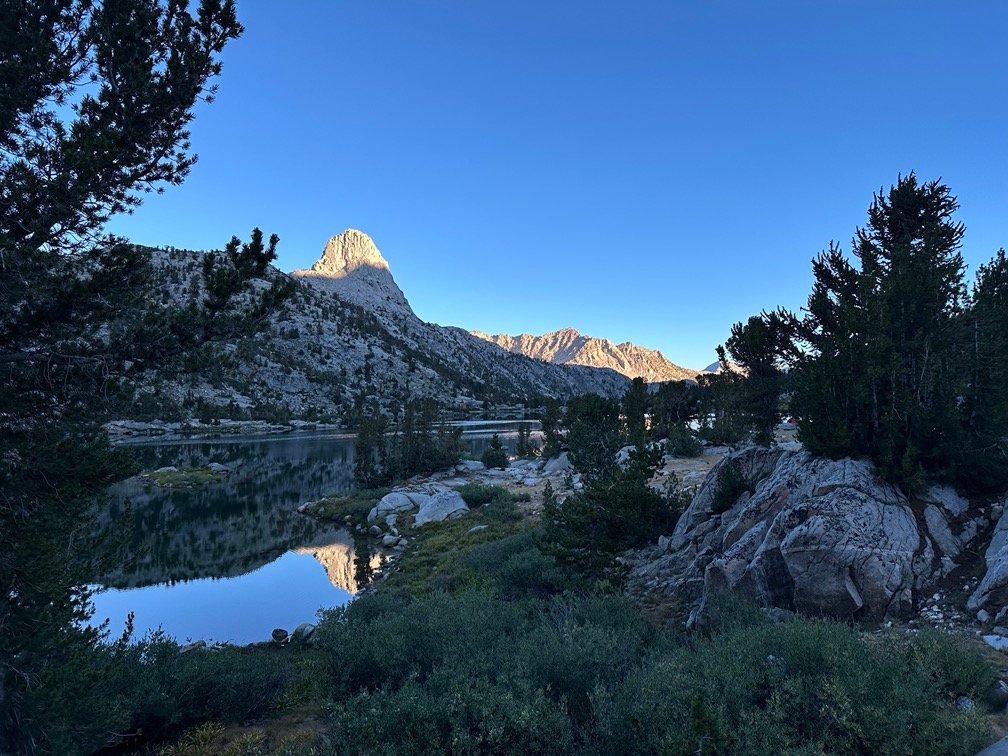

I packed up and headed South along the East shore of Middle Rae Lake, enjoying the view as I went.

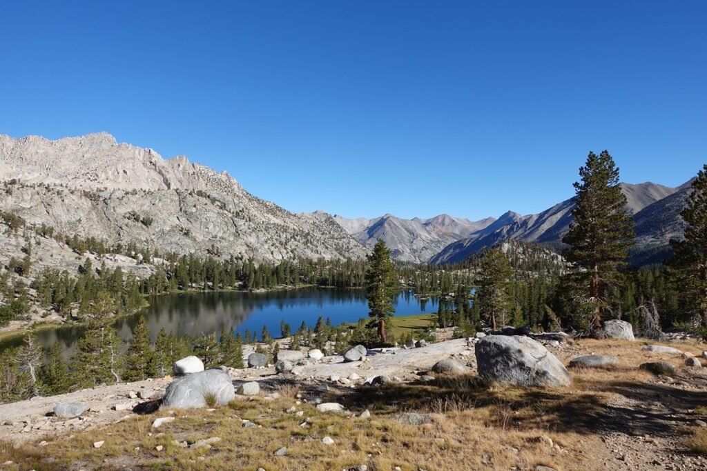
Of course, I also spotted a couple possible camping sites as I traced the curve of the lake. But that happens from time to time and I had camped at a good spot anyway. I try my best not to dwell on missed possible campsites… too much. 😀

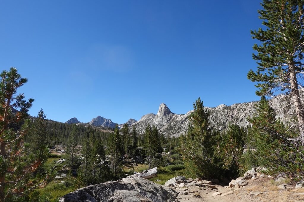
I passed Arrowhead and Dollar Lakes, which may have been good stopping points if I had gotten to Rae Lakes earlier the previous day.

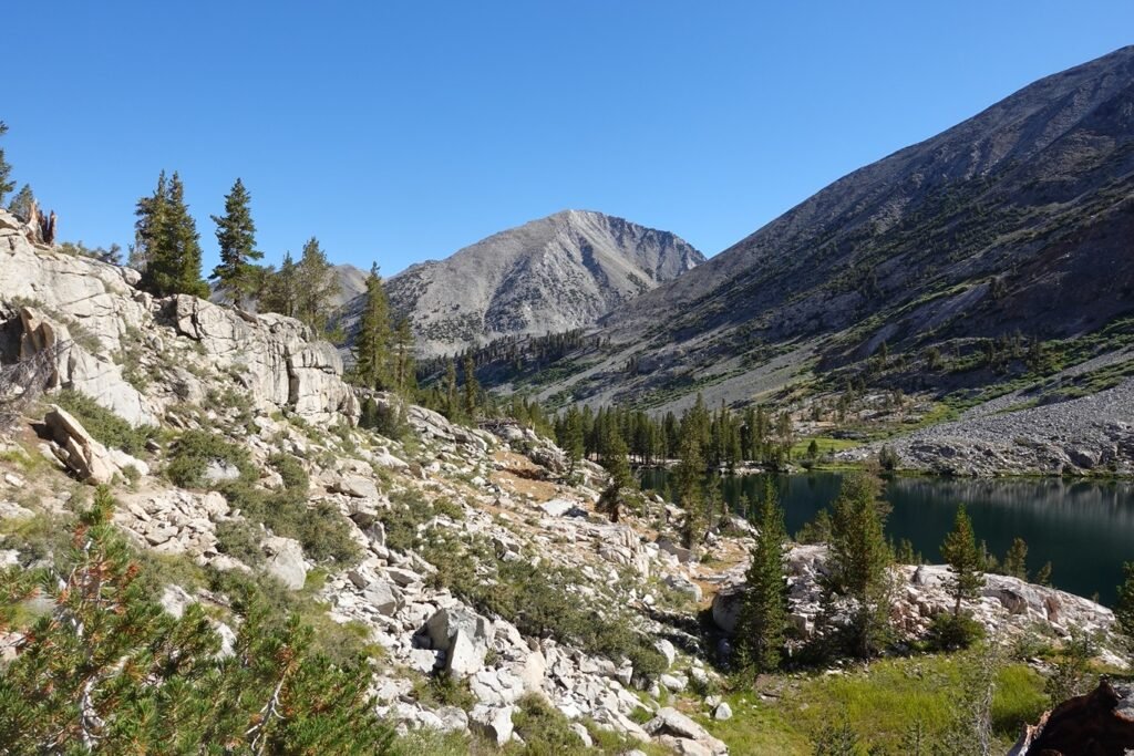
When I had climbed up from Woods Creek in 2020 towards Rae Lakes, I had to climb through skies that quickly thickened with dense smoke the further I climbed. It had been so thick that I had thought there was a forest fire nearby and I had checked for possible abort routes.
But this time, the skies were clear and I had a nice easy descent into the forested area until…

…the trail started to thicken with tree trucks and stumps.
The PCT trail reports I checked didn’t mention any blockage of the trail by downed trees, but I found myself having to dodge many trees that had fallen across the trail. Just an isolated tree or two at first, but then I came across an area where I couldn’t see the trail continue past the large stand of fallen tress ahead of me.
And there were use trails leading to the left and right of the fallen trees with no clue as to which detour would be best to take. Usually, it was fairly easy to find a way around large fallen trees, but the area was filled with fallen trees, bushes, and other view blocking obstacles that I just had to guess which way to go. The area to the right had a little more open sky visible, so I took the right use trail.
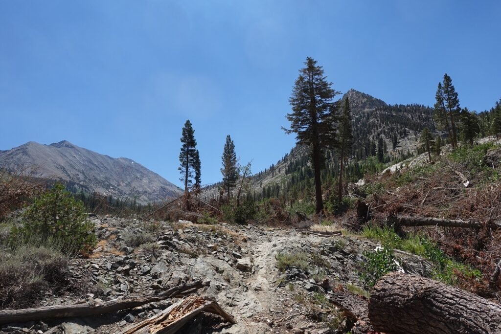
And had to keep taking it for a couple minutes and had to swing out even further to get around all the fallen trees. Must have been quite the storm that had knocked over all these trees. The trees were a mix of burned trees and dead trees, so looked like they had been there for a while. The well used use trails also kind of suggested it hadn’t been a recent storm that knocked the trees over.
I was ready to turn around and try the other path when I saw some people near where I thought the trail should be. A couple steps towards them made it clear that wasn’t the right way to go. I called out to them to see if they knew the best route around.
It turned out they were NPS workers there to cut the trunks of the fallen trees to try and clear the trail. Wish they had been there to do that the day before. 😀
They did point me in the direction of a area where the trees stopped and a gravelly area would allow me to get back to the trail. Before I reached that area, I did make a bad step and slipped and banged my legs into a fallen tree truck. Ouch.
I pulled myself away from that trunk and managed to stumble into the clearing and finally reached the trail again. I checked my leg that I had banged hard against the trunk and just found a little scrape on my shin. Didn’t feel any pain when I walked on the leg, so nothing to concern me.
I had been thinking about why they had waited until the day I was going though the area to clear it, but I know the JMT and PCT were very long trails with a lot of possible maintenance to do during the very short Summer months when the snow didn’t block the trails. So, I thanked the NPS workers for their hard work and continued North along the trail once again.
It wasn’t long before I reached the Woods Creek Trail Junction where I had camped in 2020. It was still early enough that I only took a lunch break there and watched several hikers cross the bouncy bridge spanning Woods Creek. Think ‘bouncy castle’ that was turned into a bridge.
The creek wasn’t that big when I crossed, but the wide rocky creek bed showed that it must get VERY big and wide during the spring snow melt. Which explained the long suspension bridge built to cross it.
I’m not sure why the bridge was so extremely bouncy when anyone crossed it. Having crossed it 4 years earlier, I knew first hand that it did it’s best to throw hikers off if they went too fast or assumed it was an easy crossing and let their guard down.
So, that’s why I called it the ‘bouncy bridge’. Even with only one person crossing at a time (as indicated by a sign on both ends), it was a little amusing to watch people try to hang on for dear life when they neared the middle.
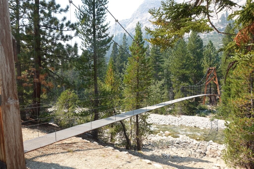
It wasn’t as funny when it came time for ME to cross. With a 40 pound backpack, you had to be careful that your center of gravity didn’t shift and cause you to slip off the side. At the same time, you had to make sure you kept your hands on the cable handrails as much as possible. Like the Half Dome Cables, you did occasionally have to lift your hands at each vertical bar holding the handrail cable.
Fortunately, I made it across safely and then turned East to start up the steep canyon that Woods Creek thundered down. I did have to wonder why this was just a ‘creek’ since it was always flowing heavy with water the two times I went through this area.
Sadly, some of the smoke from the West side of the mountains had made it’s way up Woods Creek and started to fill the skies as I climbed up the canyon. Not too thick, but still could be seen and smelled.
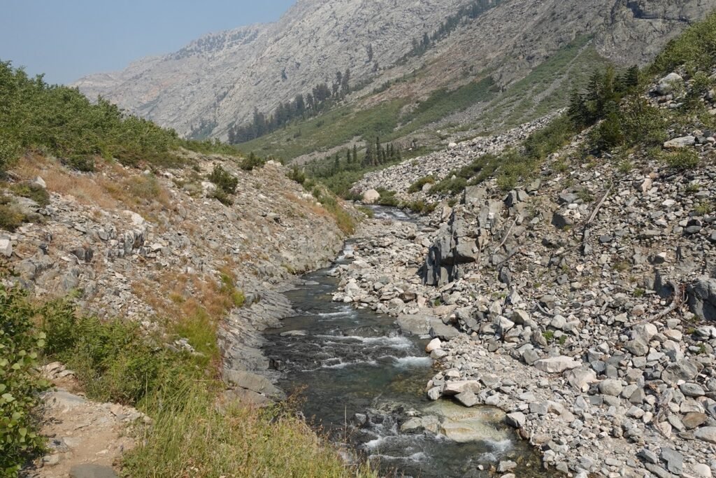
I ended up making it about 2 miles up the canyon before deciding to stop for the day. I found a nice campsite that had access to water and had a pretty nice view down the canyon.

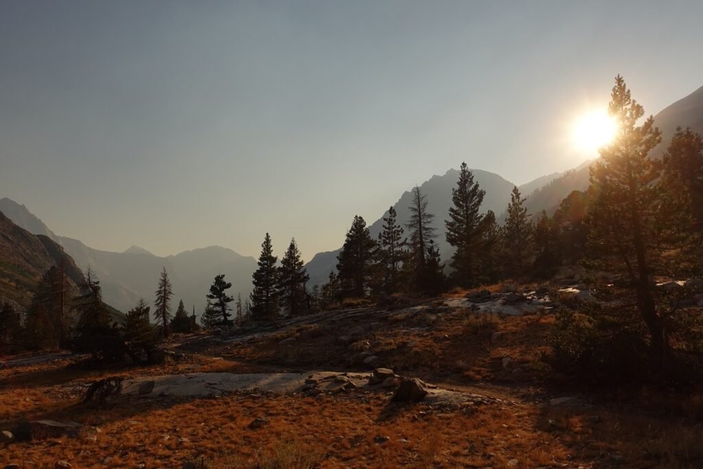

Despite the hard bang on my shin that I got traversing the maze of tree trunks, the third day back on the trail was a very good day overall. Fortunately, my shin wasn’t hurt and only was a little tender.
I went to bed, knowing that it would be a long day’s climb up to Pinchot Pass the next day.
Goal for the day: A painful success
Day 6 – 9.4 miles – 8 hours 20 minutes
PCT section H – 34.5 trail miles out of 175.5 total miles
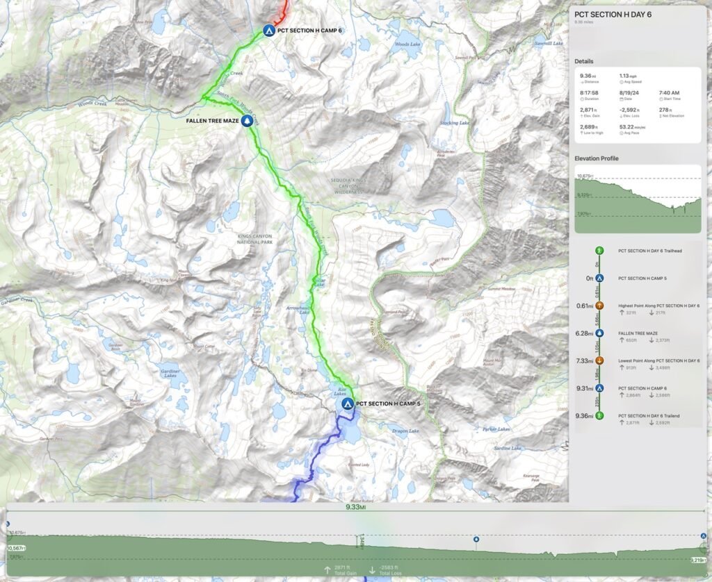
(mileage and time approximate and based on GPS tracks which may not be exact and include diversions from the trail)




Comments by WanderingJim
JMT 2020 Day 3
"I'm afraid I have no idea. Not really a fisherman, so don't..."
JMT 2020 Trek Day by Day
"Yeah, but with 9,000 pictures, it's hard to label each one..."
Kilimanjaro – October 2019
"Everest Base camp is on my list too. Mostly since I know..."
Kilimanjaro
"You started hiking with Kilimanjaro first? Even I worked my..."