Goal for the day: Muir Pass
Sadly, there wasn’t much of a view from my campsite near Bishop Pass Trail Junction. Happily, my bruise didn’t look any worse and there still wasn’t any pain walking on it. So, aborting to Bishop wasn’t needed.

Sadly, there were some nice open campsites in Big Peat Meadow just a mile or so up the trail. I should have continued North a little further the prior day. Darn.

The Moon guided my way again, but was much more elusive this day.
As expected it was a long hard climb up through Le Conte Canyon. And that was only the first thousand feet of the three thousand feet I would have to climb this day.
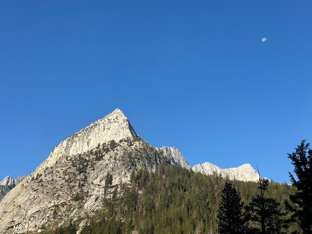

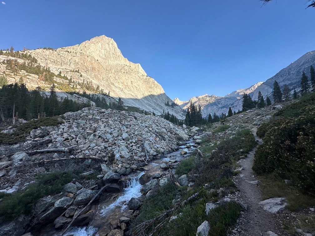
One thing you have to be careful about in Le Conte Canyon is the monster that lurks in the canyon that eats hikers who get too close.
It hides in the trees and foliage…
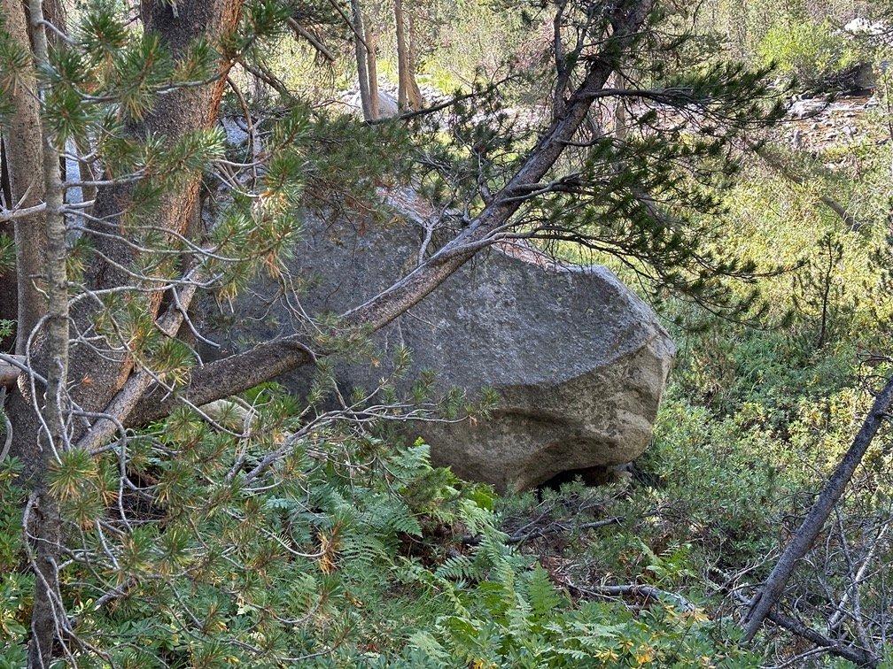
Until it bears it’s teeth and strikes!!

There were actually two monsters in the canyon. One had become hidden in the foliage, but I had seen it clearly in old black and white pictures of the trail. So, was sure the first one above was the monster.
But further North, was another monster closer to the trail right next to a camping area. Not sure I could sleep with those sharp teeth so close. 😀
After escaping the monsters, the hard part of the day hike began. The trail was still along the Middle Fork of the Kings River, but there were a lot of falls and cascades along the very crooked path the water took.
Which meant a lot of climbing and scrambling up a trail that I would have LOVED some switchbacks to navigate.


It was hard to describe the rough trail I had to climb. Flashing back 4 years, I really didn’t have too much trouble descending along this trail, but going UP it was very tough. I wasn’t even half way towards Muir Pass when I started to worry that I wouldn’t make it to the pass that day.
The Black Giant was the highest peak in the area and stood between me and Muir Pass. Fortunately, the trail turned East away from it. I don’t think there was a way to climb up near it based on how… GIANT it was.


Fortunately, it was still mid-day when I passed a tempting camping area along a rare flat area.

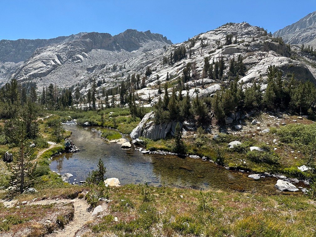
I did get a little water, but didn’t dawdle long and put it behind me before I could loose my will to continue. The Black Giant was still looming over me, just a little further to the West now.
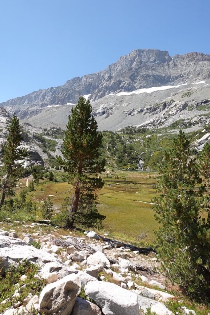

I was rewarded when I saw the first small pond along the way. It wasn’t even called a pond on the map, it was still called part of the Middle Fork of the Kings River (although I would call it more of a creek at that point).

After the first pond, I hit my first snow field that I had to cross since Forester pass. But it was not a problem.
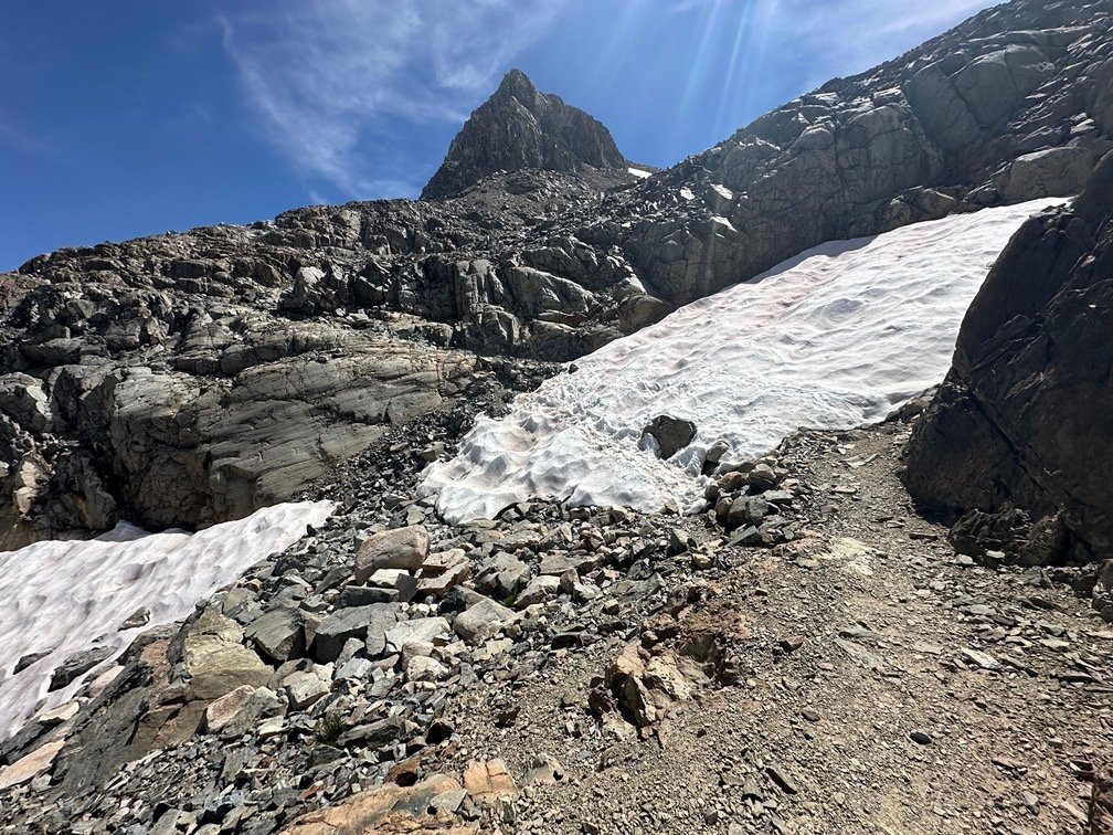
The rocky climb on either side, on the other hand, was grueling.

But I finally reached Helen Lake…
NOT!
It was pretty big, but was yet another large pond along the rocky climb. I was starting to remember this part of the trail as being a very rough descent from Muir Pass. Funny how I seemed to have blocked it out… Maybe that is the only reason people go back and climb trails like these a second time: The brain protects you from the trauma by forgetting about how bad it was.

The final climb up to Helen Lake was only difficult since it was late in a day of hard climbing, but seeing the water of Helen Lake was very encouraging. I made sure to triple check the map to make sure it was Helen Lake.

It was.
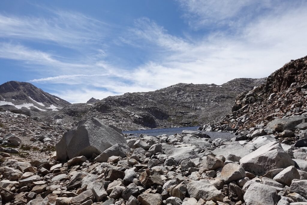

Odd thing was, I was more impressed with it this year than the first time I went by it. It seemed like a small sheltered lake that didn’t have much of a view. But maybe the exhaustion of the climb made me glad to reach the lake, which was just below Muir Pass.
The goal was in reach!
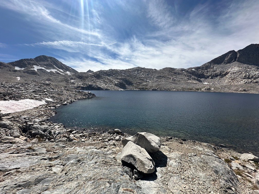
But there was still a climb ahead of me, so I took a nice long break along Helen Lake.
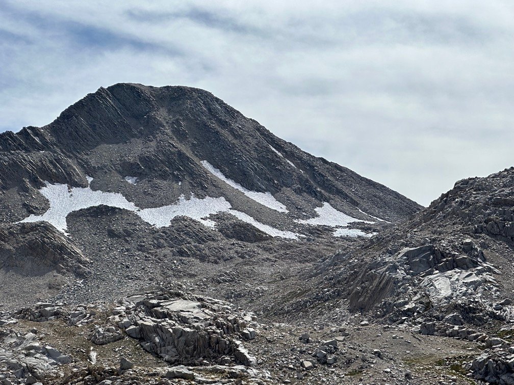

I had noticed that the clouds had started to float in overhead, but were nice and white. So, I wasn’t too worried about a storm rolling in and causing me to have to spend another night in my tent near Muir Pass with several lighting storms buffeting my tent. The night I spent at Wanda Lake in 2020 was quite an ordeal. Making it to Helen Lake at least gave me some place to camp if the weather turned that bad again.
But after a nice rest at the lake, I started the final climb up to Muir Pass.

Although the trail seemed a bit longer than the descent had (nothing new there), it wasn’t long until I saw the Muir Hut that stood at the top of the Muir Pass.
Unlike a lot of passes that were a small bit of dirt and rocks at the top of a steep ridge line, Muir Pass was the high point of a wide ridge between Mount Solomons and Mount Warlow. This meant that it was a very wide and expansive pass.
On the side of the pass that I had just climbed that day, was the canyon created by the snow melt that created Lake Helen and the West Fork of the Kings River. On the other side lay a string of lakes along Evolution Basin (the first being Wanda Lake), with Evolution Creek connecting them together. That would be the challenge for the next day.


The hut was made out of the easiest material to find at the pass: Granite rock
That’s pretty much because that was ALL that was up at the pass. A little sand, but that was probably mostly granite that had been crushed by other granite banged around by the huge snow fields that must form every winter.
Granite slopes on the mountains, leading to granite boulders, leading to granite rocks. and finally granite sand.
In short, a whole lot of granite surrounded me.
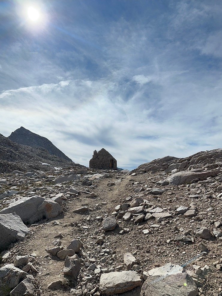
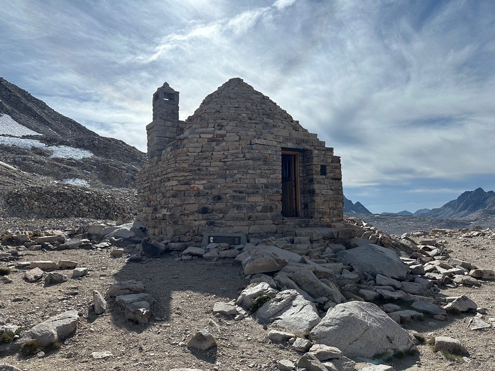
The 360 degree views all around the hut took my breath away and I dropped my backpack and took in the views as I took a lot of pictures.

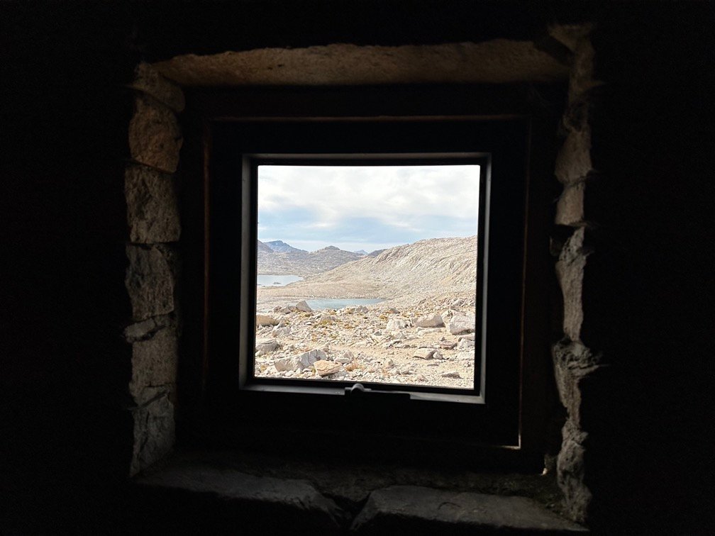
I did go inside and took in the sights through the window in the hut as well as looking around inside.


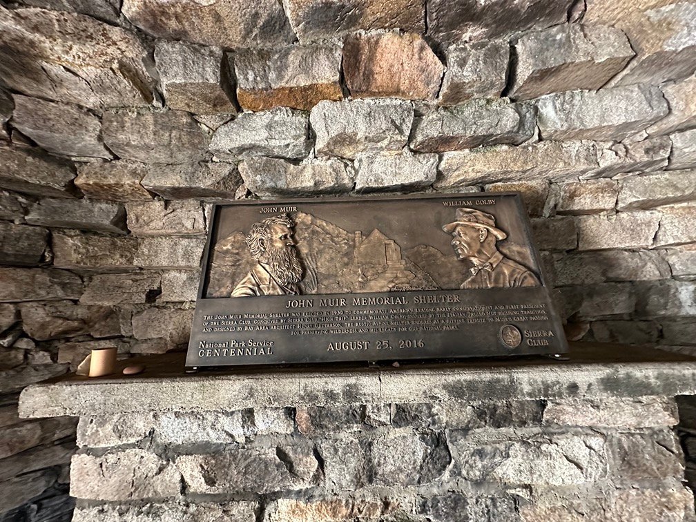
Outside, a passing hiker got a picture of me in front of the hut.

Unfortunately, during this time, a strong wind had been blowing and thicker clouds had started to fill in the blue cracks in the sky. Given my experience at Wanda Lake 4 years earlier, I was starting to get worried that staying at the open, unprotected pass might not be a good idea.
I didn’t see any sign of falling rains in the clouds nearby or even far off (unlike in 2020). My Inreach’s weather report had indicated clear skies, but it had indicated that strong winds were likely.
At that point, it would be a pretty long hike to get down to Wanda Lake that had some (but not a lot) of wind breaks that could shelter me from the wind. Helen Lake also didn’t have much protection from the wind either (maybe a little more than Wanda).
The Muir Hut wasn’t meant to camp in, except for emergencies (although much like the Mount Whitney Survey Hut, it’s safety in a lighting storm was questionable). But if the wind did get significantly worse, I could use it as a shelter.
So, I stuck to my original plan and setup my tent in a small cleared spot next to the hut. The hut, some boulders, and a depression behind the hut would provide some protection from the wind.
Some.


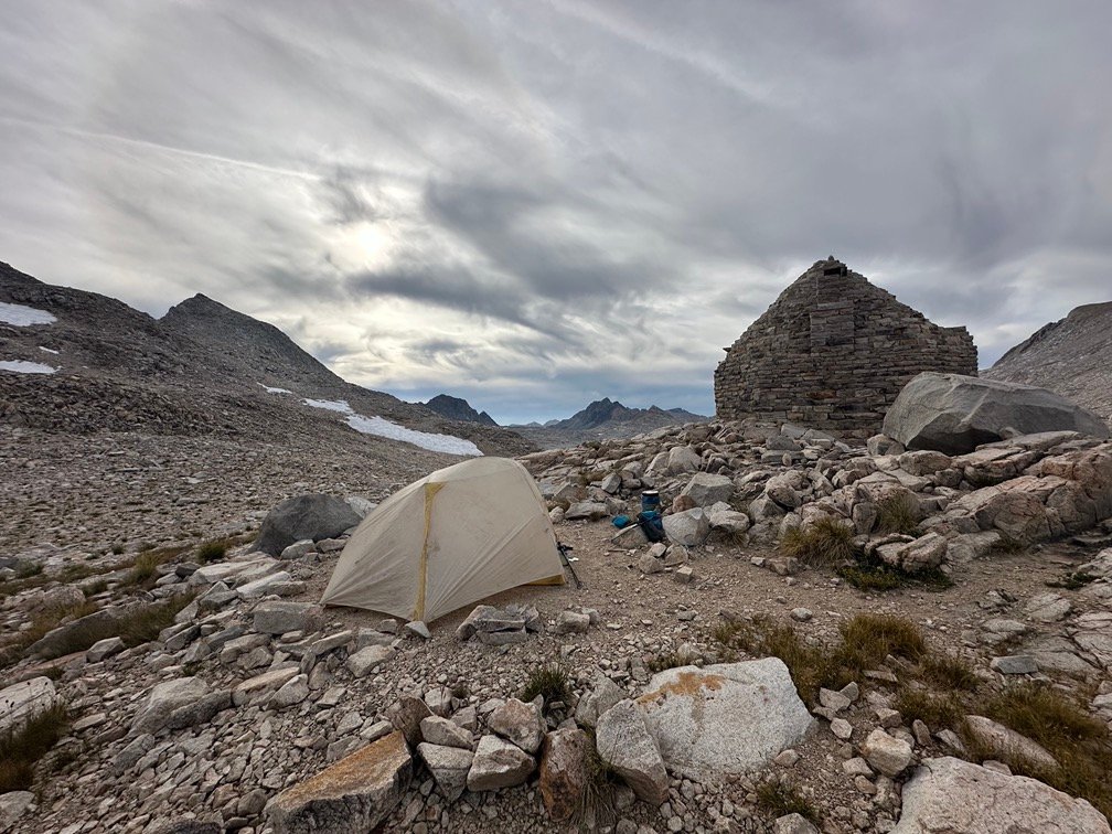

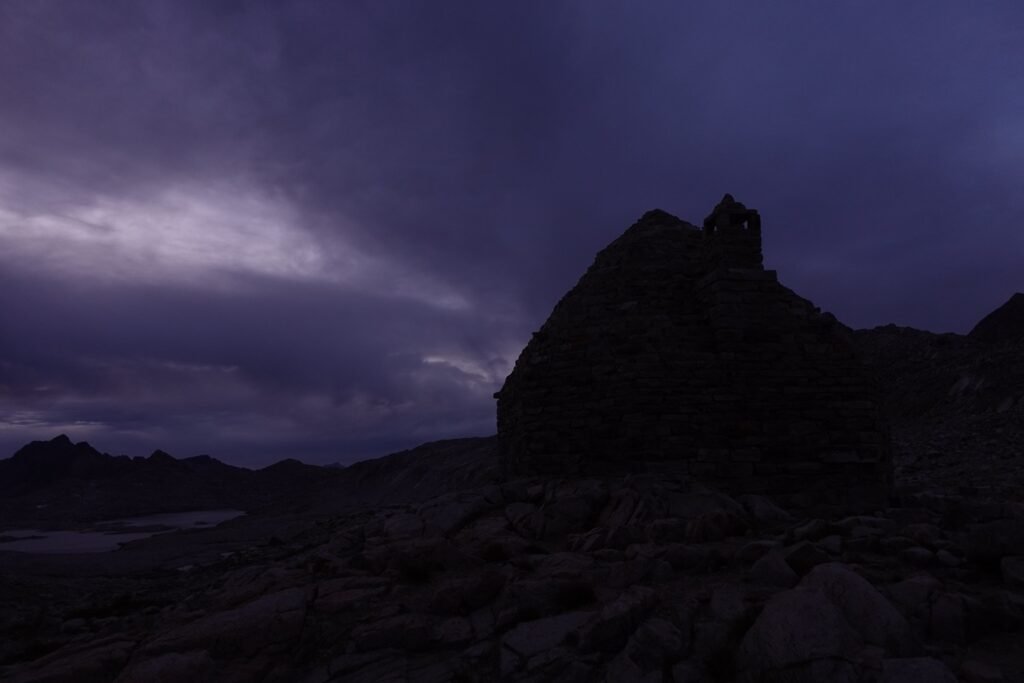
The skies stayed dry, but still looked a bit menacing as the evening went on.
Some fabulous views, that I wouldn’t mind being my last views on Earth should the worse happen. 😀
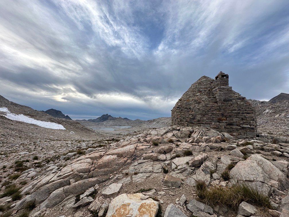

The thick clouds did, unfortunately, block some of the light from the Sunset that I had hoped to enjoy that evening, but still gave me a nice show as I rested my sore body with my head poking out of my tent most of the time.
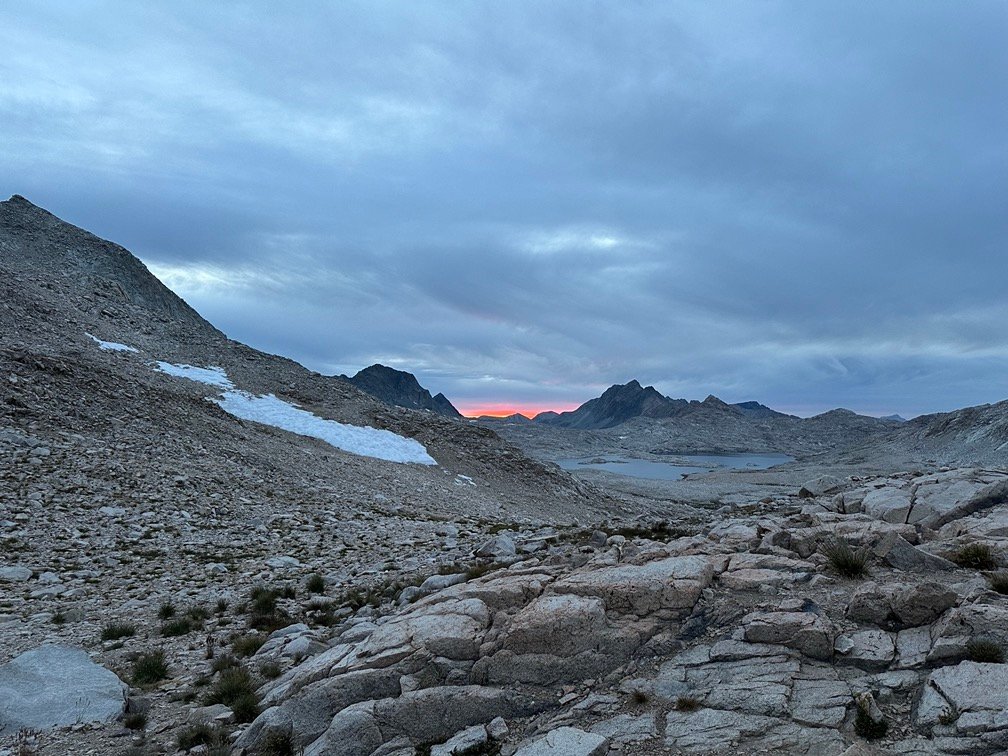

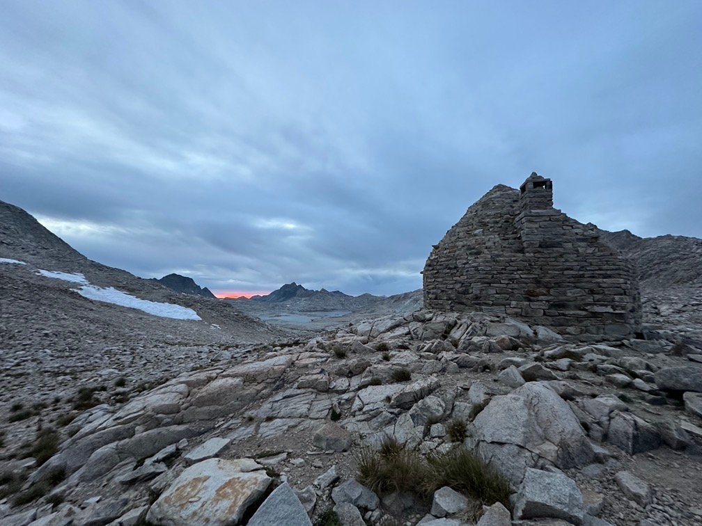
The band of red-orange to the West was VERY similar to the band of red-purple that I had seen during the prior visit to this area. Must be some combination of the angle of the Sun and terrain that caused that spot to glow like that.
Or it was just the clouds causing it these two particular times.
Either way, it was a nice present for my legs and feet to make up for the hard climb.


The wind has actually calmed down by the time I went to bed, so it looks like choosing to camp at the pass was a good one.


Scorecard for Muir Pass (11,955 ft) after 2 times to the top:
| Climbing North side of pass | Hard (1x) |
| Descending South side of pass | Not too bad (1x) |
| Climbing South side of pass | Very Hard (1x) |
| Descending North side of pass | ? |
Goal for the day: A colorful success!
Day 10 – 9.4 miles – 9 hours 15 minutes
PCT section H – 71.6 trail miles out of 175.5 total miles

(mileage and time approximate and based on GPS tracks which may not be exact and include diversions from the trail)




Comments by WanderingJim
JMT 2020 Day 3
"I'm afraid I have no idea. Not really a fisherman, so don't..."
JMT 2020 Trek Day by Day
"Yeah, but with 9,000 pictures, it's hard to label each one..."
Kilimanjaro – October 2019
"Everest Base camp is on my list too. Mostly since I know..."
Kilimanjaro
"You started hiking with Kilimanjaro first? Even I worked my..."