Goal for the day: McClure Meadows
Right after completing the John Muir Trail Southbound from Yosemite to Mt Whitney, I had put together a itinerary for doing the JMT Northbound. Having managed to camp at Rae Lakes, Lower Palisade Lake, and Muir Pass, I was headed down to McClure Meadows as my goal for this day. The sunset and views from the meadow was not to be missed.
Since I had managed to climb up from McClure Meadow to Wanda Lake in a single day (only missing reaching Muir Pass due to the thunderstorms that made me take early shelter in 2020), I didn’t have much concern about descending from Muir Pass and reaching McClure Meadow in one day.
I managed to catch some great views of the skies over the cold night at Muir Pass.
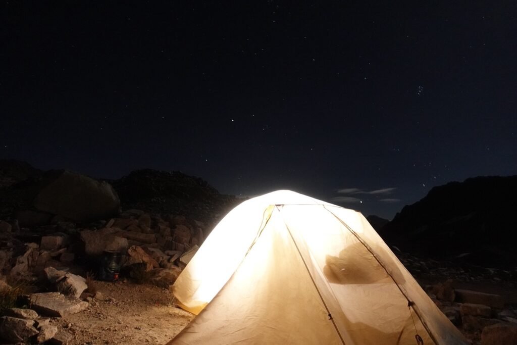
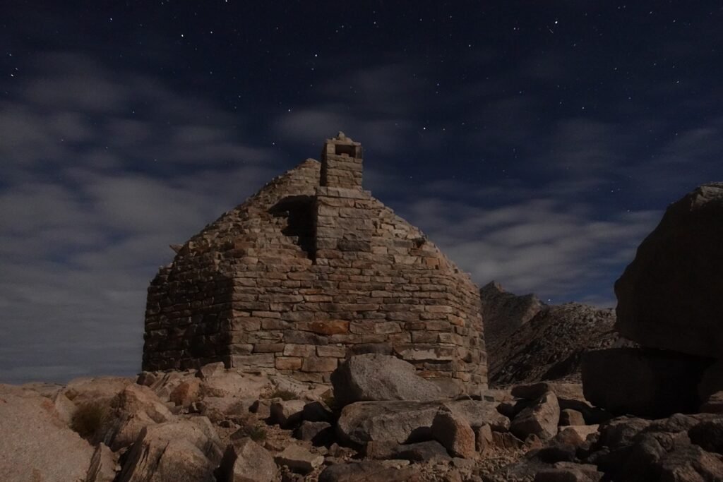
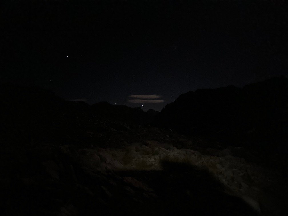
The weather was a concern and I woke up several times overnight to what sounded like raindrops on my tent, but every time I reached out my hand I felt nothing falling and no sign of a wet rain fly. I eventually decided I must have imagined the sounds. The strong wind from the previous day had also calmed down.
It had grown noticeably colder over the night, but I had expected that, so just added more layers when I felt cold.
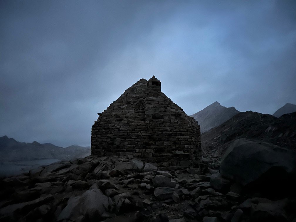
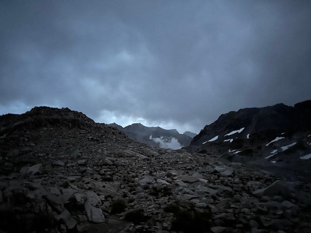
The first light of the day helped calm my fears as it obviously wasn’t raining and a morning mist was hovering over the area, but at 11,955 feet it could also just be that you were inside low hanging clouds.
It wasn’t long before I found the reason it was spo cold and why the mist was rising from the ground. Instead of enjoying the expansive 360 degree view all around me, I looked at the ground…

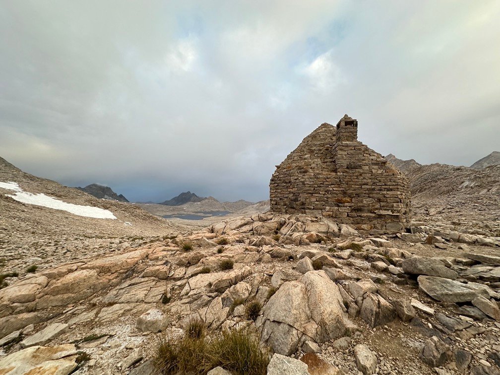
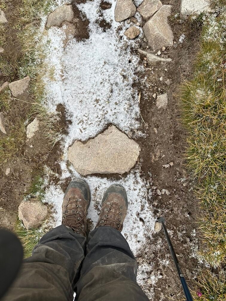
…and saw a very light layer of snow and small bits of hail covering the rocks and ground all of me.

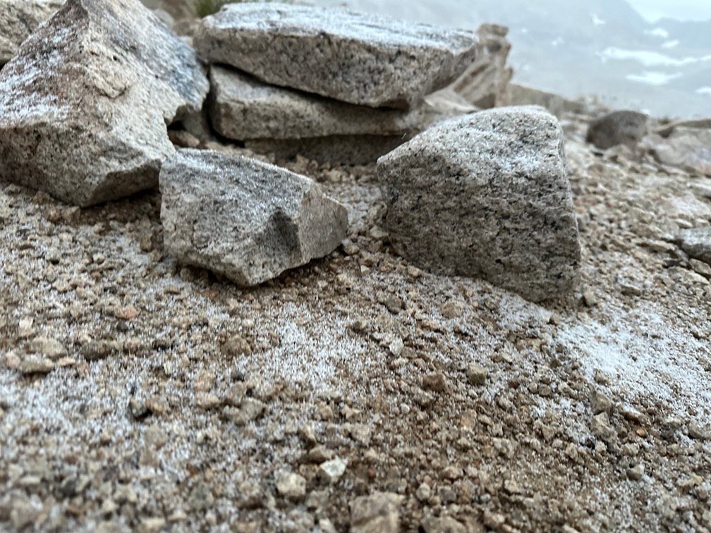
It wasn’t a thick layer of snow and hail, but it explained the freezing cold and the occasional phantom rain drops I heard and didn’t feel. So, I didn’t get a heavy downfall of rain or snow, but just light snow and frozen hail that was not much bigger than the snow flakes.
Didn’t quite expect it to get that cold in the middle of August, but I had enough layers and never felt cold enough to take shelter in the Muir Hut. I knew it would warm up as I descended down to McClure Meadow at 9,600 feet.
I did decide to bring my clothing and gear into the hut and change my clothes (very quickly), then pack my tent and gear inside where it was a little less freezing. A little.
So, I put on my warm knit hat, two layers of thermal shirts, and my puffy jacket and took in the grandeur of Muir Pass one last time and started descending towards Evolution Basin.
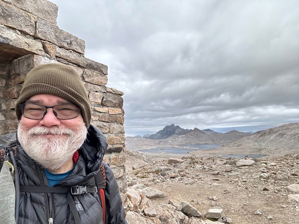


The first lake in a long string of lakes, was the small Lake McDermand. In Spring, it would feed water into the lake where I had taken shelter the last time I was near Muir Pass: Wanda Lake
I had felt pretty close to Muir Pass when I stopped at Wanda Lake in 2020, but I was surprised at how long of a hike it seemed to be to get down to the Southern side of the lake of the lake and then try to find where I had camped that stormy evening.
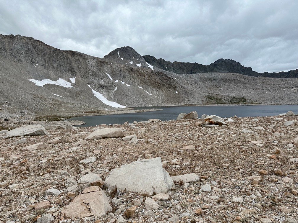

I also saw that the snow and hail had floated down over this area as well, being very obvious along the trail. First foot prints on the trail that morning. I was all alone.
Once I reached the middle of the lake where the trail got closer to the lake’s shoreline, I finally saw the large boulder that I had taken shelter next to in 2020. The small pile of stones on the right side of the boulder was still there to provide a little bit of a wind break. That had come in handy four years earlier.
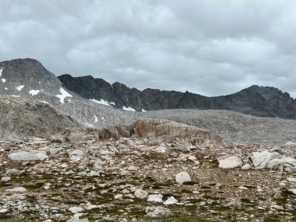
I hiked along the beginning of Evolution Creek that would be my guide for the entire day. After a last glance behind me at Wanda Lake, I crested the small ridge that separated me from Evolution Basin.
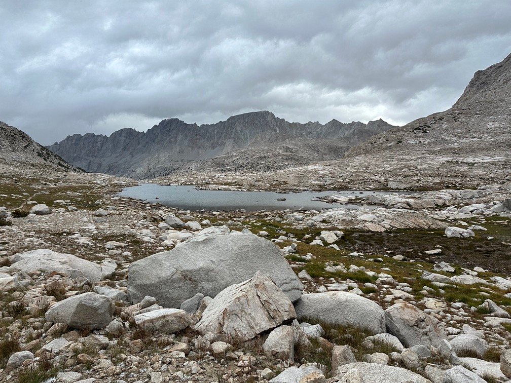
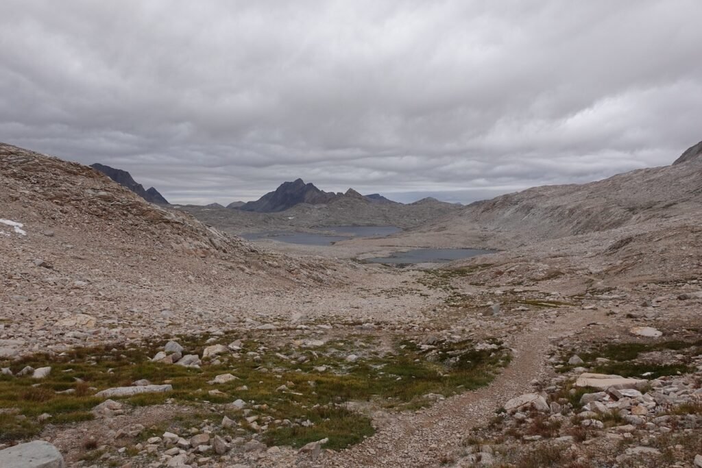
The next lake in the string was Huxley Lake.

Followed by Sapphire Lake. I had remembered it being very sapphire colored in 2020, but the thick clouds unfortunately dulled the color this time. Again, I found evidence that the snow and hail had reached down to this lake at 11,000 feet.
To push home that evidence, the skies decided to start snowing and hailing on top of me as I made my way past Sapphire Lake. It wasn’t heavy and the hail stones weren’t much bigger than the tiny pin-head sized spheres I had first seen at Muir Pass that morning.
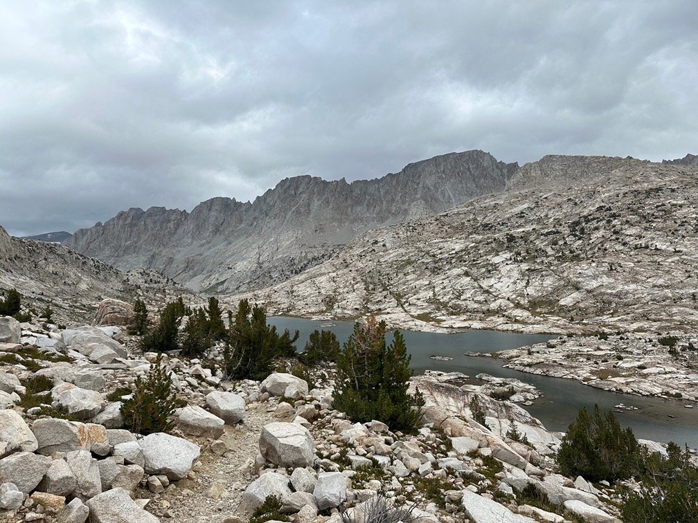
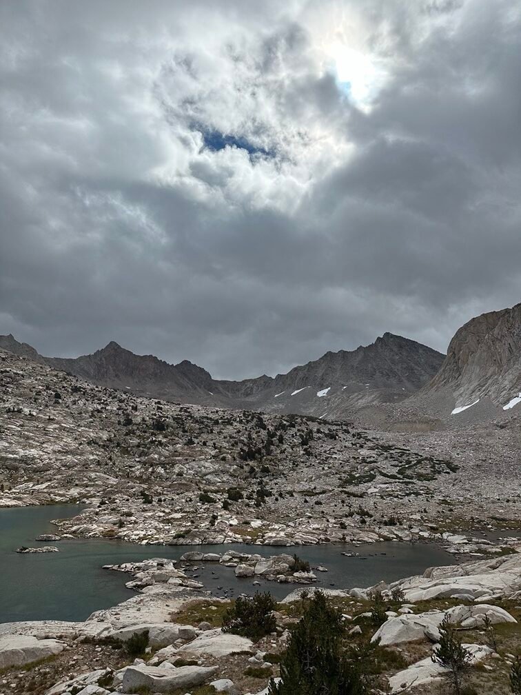
I reached Evolution Lake, last of the large lakes along Evolution Creek. The snow had stopped by this point, but word from passing hikers indicated that it had been cold and snowed for quite a distance down the canyons that Evolution Creek had created over the centuries.
I was surprised at the extent of the cold and snow, pleasantly amazed that it hadn’t been heavier up at the higher pass. Since it was mid-day as I made my way along the East side of Evolution Lake, the snow and hail on the ground was no longer there and only damp dirt showed any evidence of the frozen precipitation that had fallen overnight and that morning.
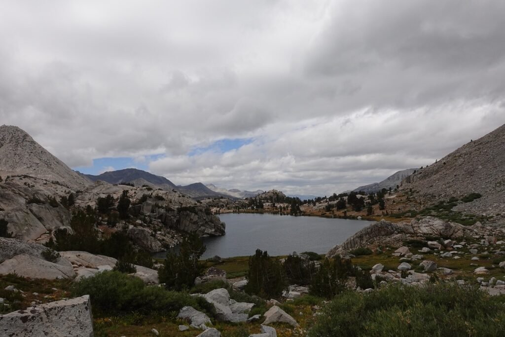

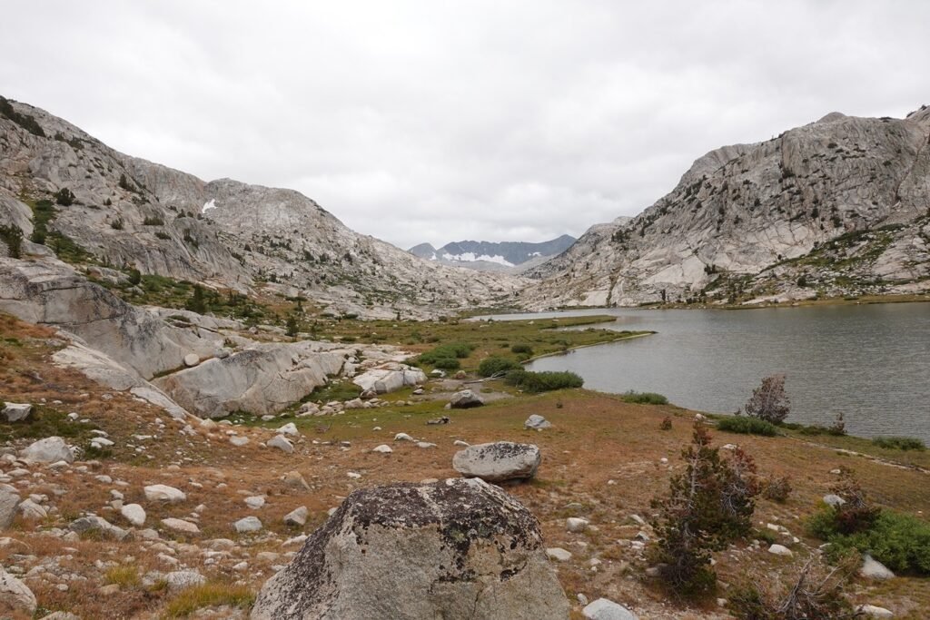
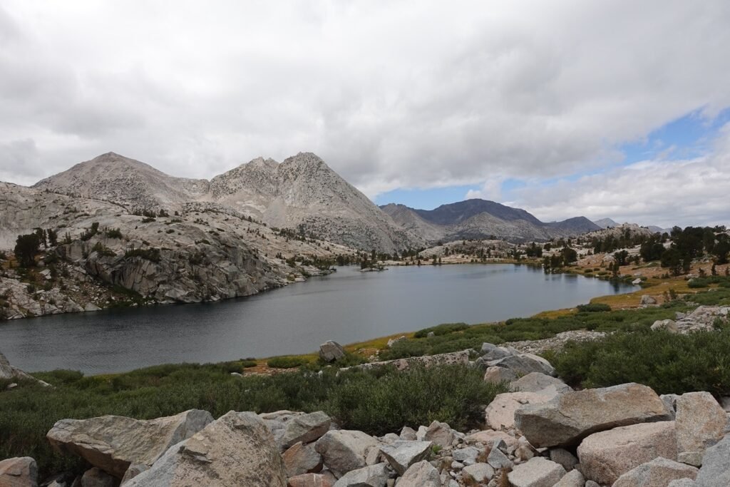
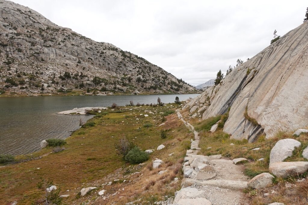
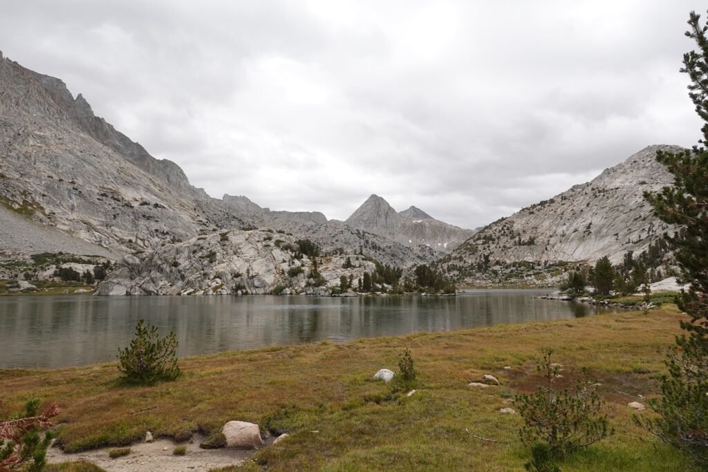
As I left the lakes behind and got my first view of McGee canyon that held Colby and McClure Meadows, I was happy to see the clouds starting to part and letting the blue skies be seen.
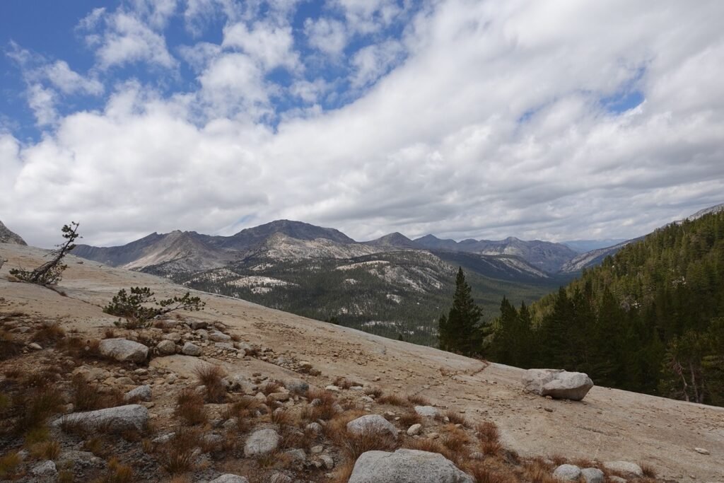
The descent into the meadows was actually the steepest part of the day’s trails, but with the goal so close and the skies looking better and better, it wasn’t a problem descending.
Overall, the day was long, but most of the way was an easy stroll downwards, with only the occasional steep part to navigate. Much better than the climb up from the South side of Muir Pass and a clearly easier than the climb up this North side four years earlier.
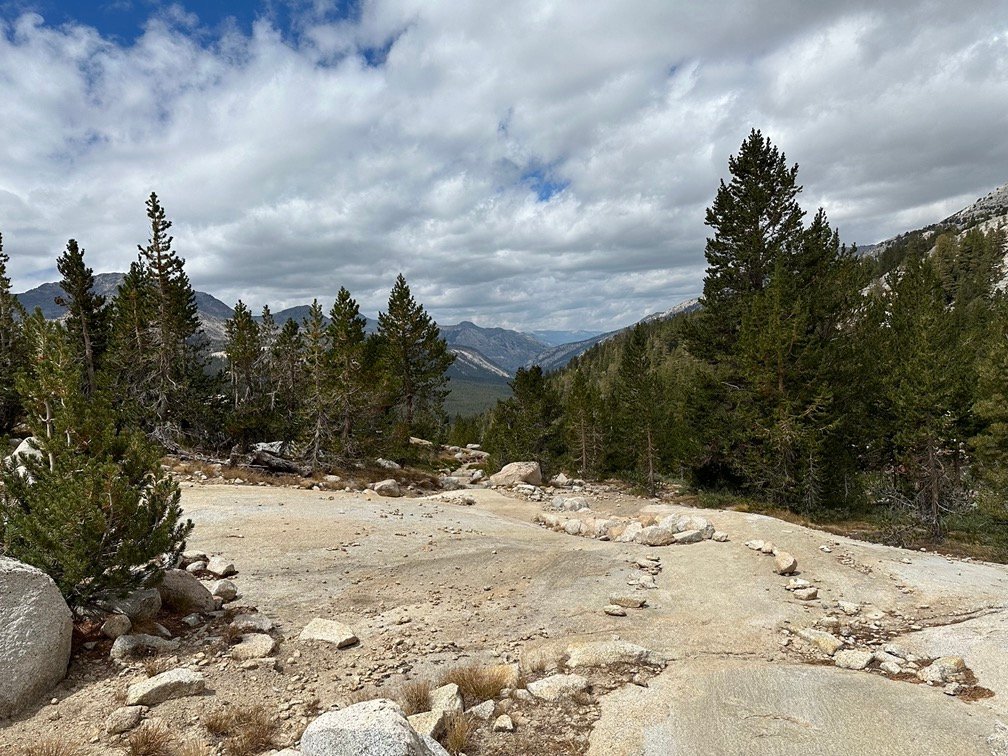

After passing through the smaller Colby meadow, I reached the start of McClure Meadow and kept my eyes out for a good campsite with a view that would rival my view in 2020. Then, I had chosen based on rain showers that were threatening to soak me and to keep my distance from the other campers in the middle of a pandemic.
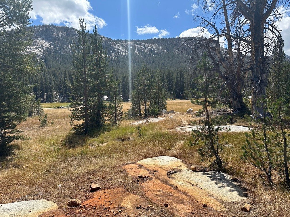
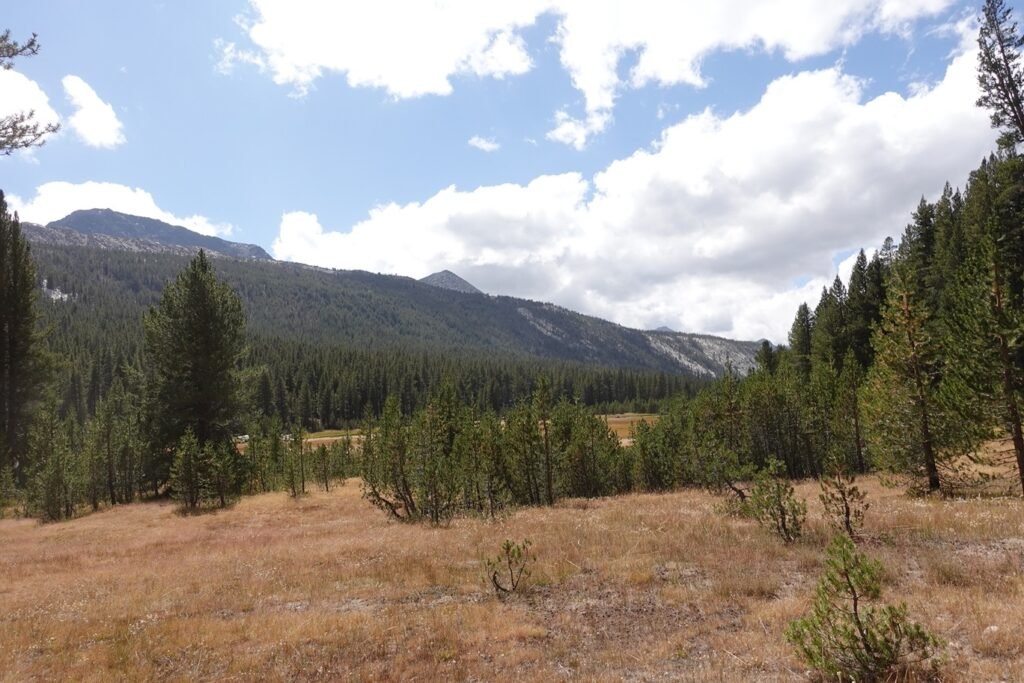
I reached an area that had several tent sites, had a nice view, and many spots available. I didn’t think the view was quite as good as in 2020. Plus they had put a ‘No camping beyond this sign’ sign up in front of the view that I would have had from my tent if I camped at the tent site that had the widest view of the valley.
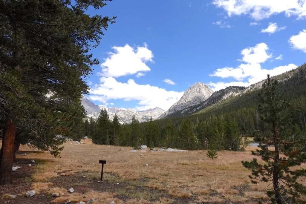
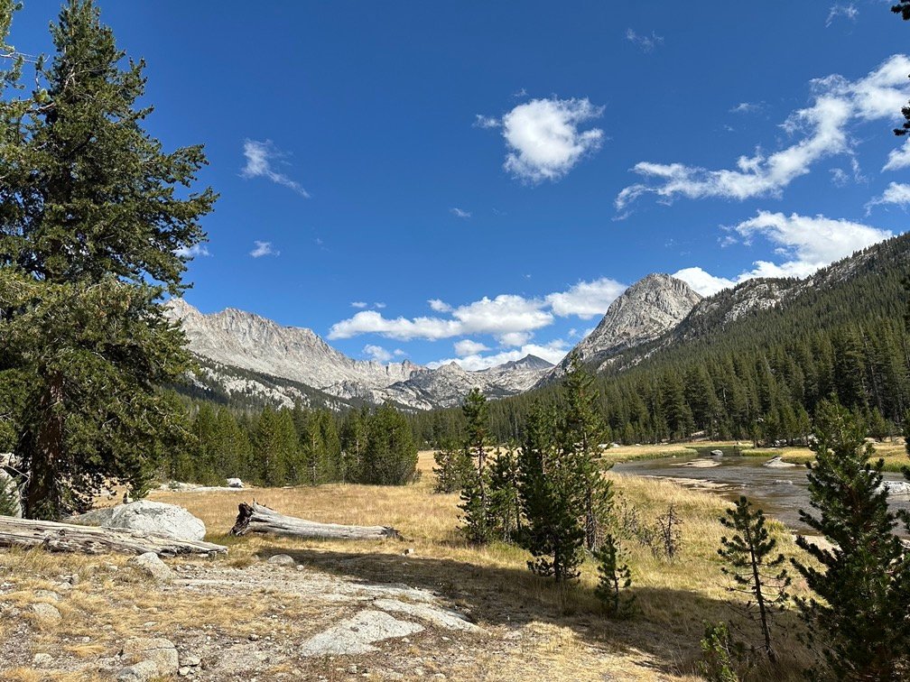
So, after failing to find a better campsite than I had camped at in 2020, I decided why mess with perfection and ended up in the same spot that only had the one space for a single tent.
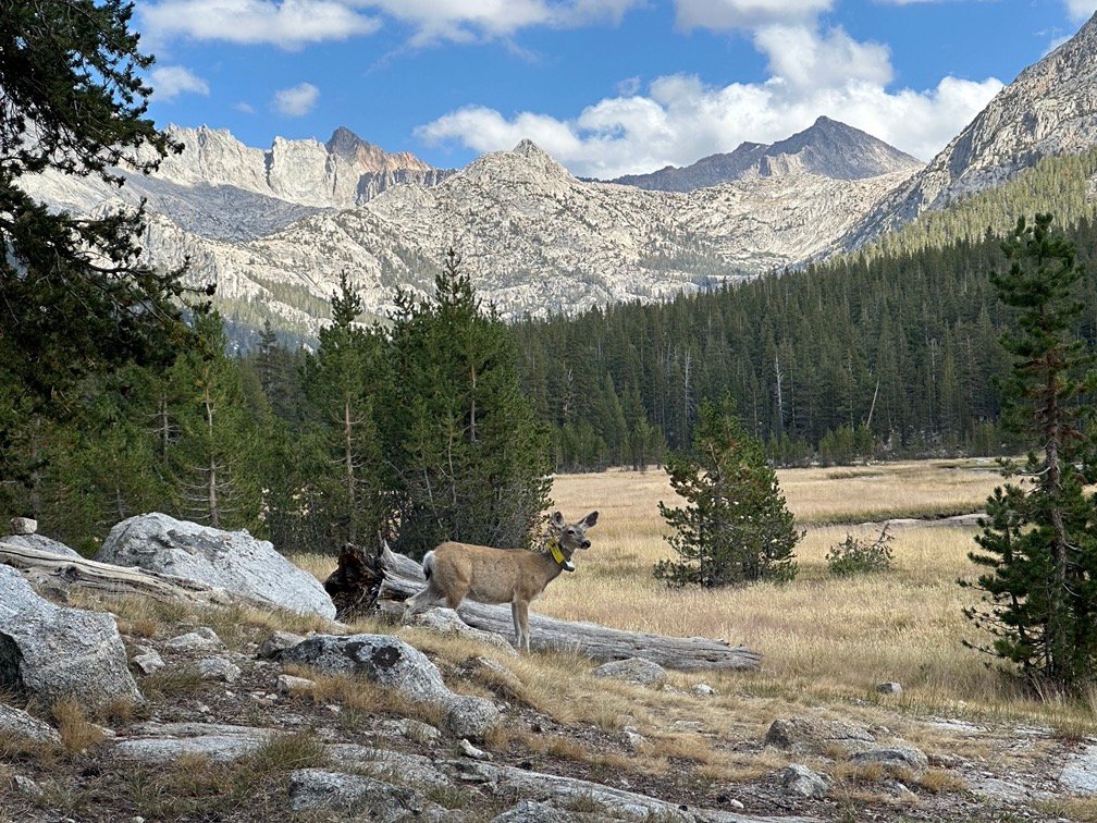
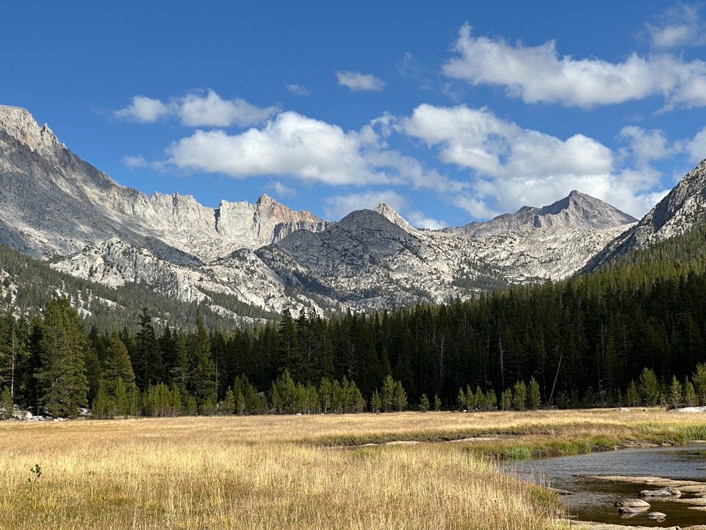
It had an easy walk to the creek and was out of the way of the other sites, so I would hopefully have some peace and quiet as I took in the amazing views all around me.

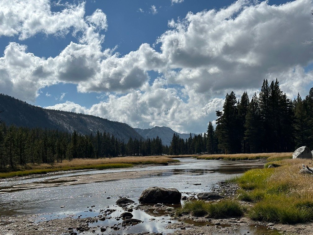
Before sunset, I made a point to do a quick hair and face wash, plus cleaned some of my clothing. The stench from my clothes and myself was starting to really get to me, which meant it was probably very noticeable to people I passed on the trail. I didn’t have enough of the afternoon left, so I only washed my underwear and hiking shirts that usually were the dirtiest, smelliest, and dried quickly enough even after Sunset.
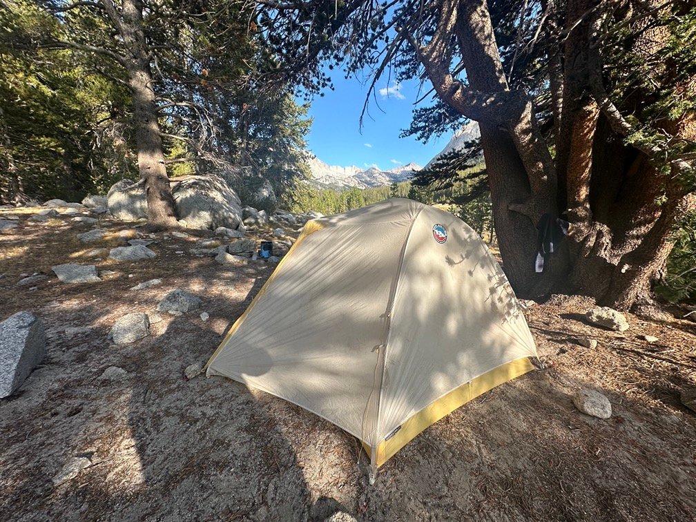
And after dinner, I had nice partly cloudy skies to enjoy that Sunset. So, what if it was pretty much the same view as four years earlier? Sometimes, you can’t beat perfection on the trail.
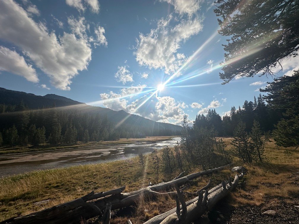

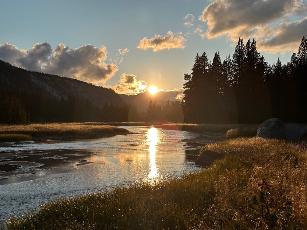


Then the golden time began and painted the whole meadow with golden color.
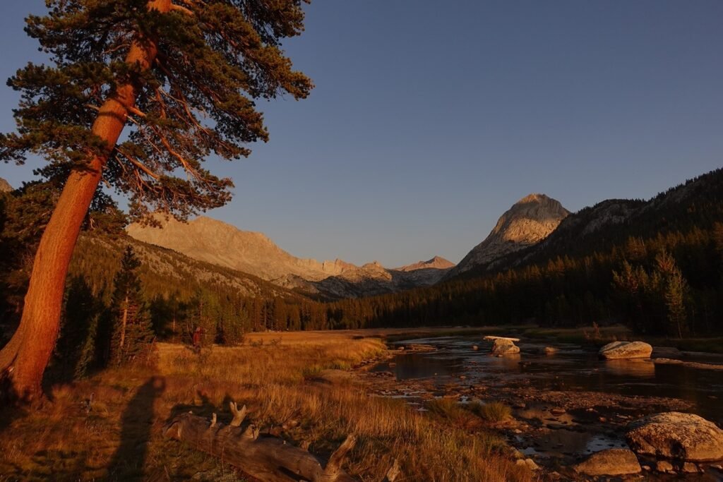
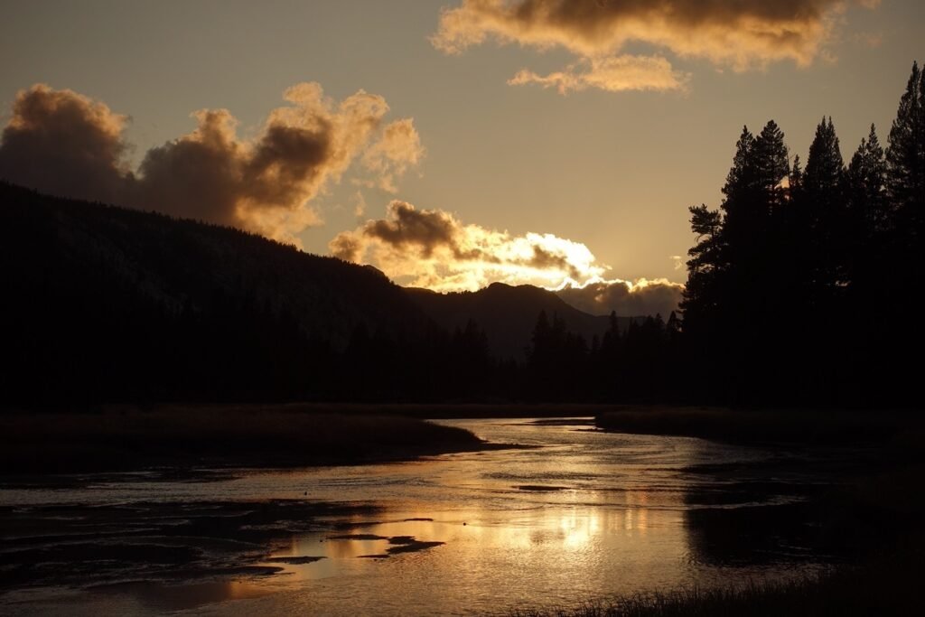
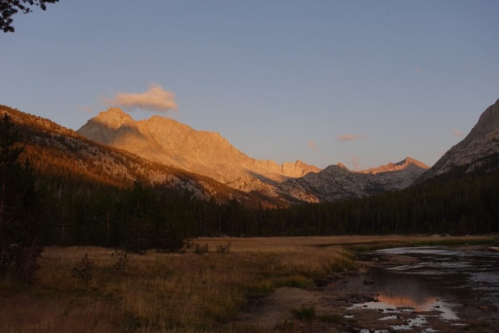
And even after sliding into my tent, I had a great view of the last light of the very great day that started out with cold cloudy skies and ended with golden skies.
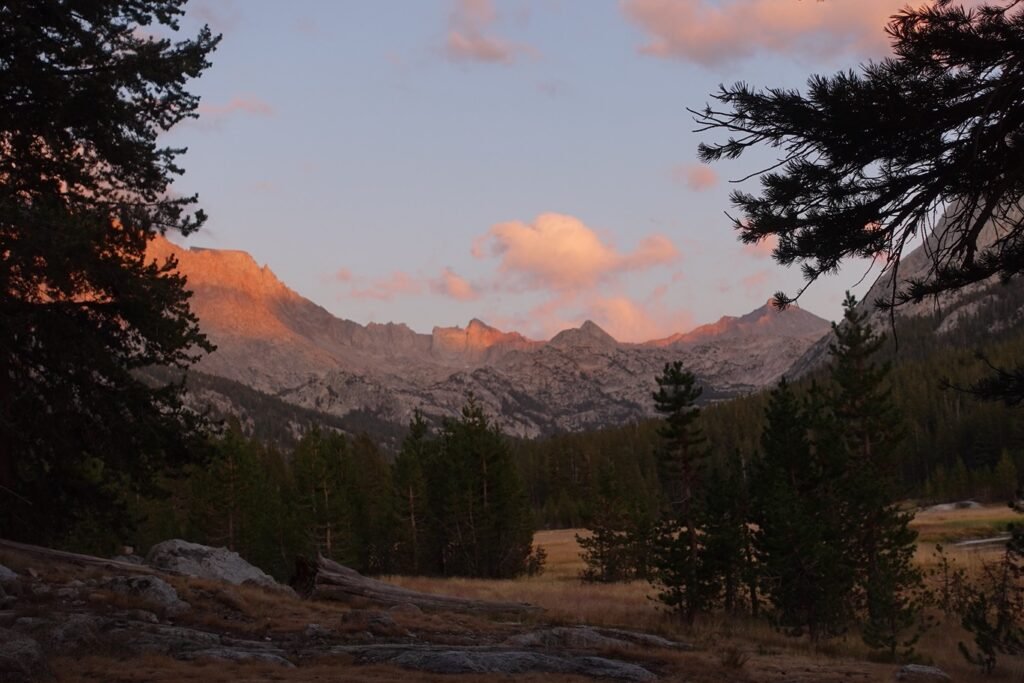
Still was a bit cold, though. 😀
Scorecard for Muir Pass (11,955 ft) after 2 times to the top:
| Climbing North side of pass | Hard (1x) |
| Descending South side of pass | Not too bad (1x) |
| Climbing South side of pass | Very Hard (1x) |
| Descending North side of pass | Not too bad (1x) |
Goal for the day: Success and then some!!!
Day 11 – 10 miles – 7 hours 35 minutes
PCT section H – 71.6 trail miles out of 175.5 total miles
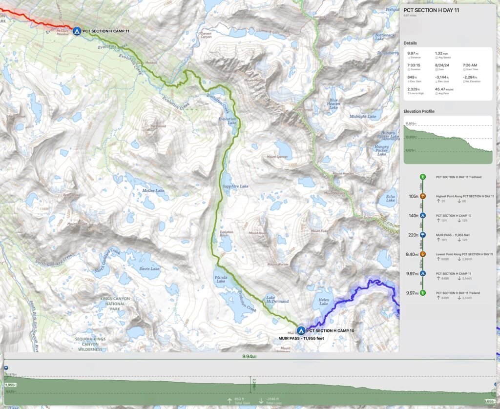
(mileage and time approximate and based on GPS tracks which may not be exact and include diversions from the trail)




Comments by WanderingJim
JMT 2020 Day 3
"I'm afraid I have no idea. Not really a fisherman, so don't..."
JMT 2020 Trek Day by Day
"Yeah, but with 9,000 pictures, it's hard to label each one..."
Kilimanjaro – October 2019
"Everest Base camp is on my list too. Mostly since I know..."
Kilimanjaro
"You started hiking with Kilimanjaro first? Even I worked my..."