Goal for the day: Silver Pass or beyond
After waking up and crossing Mono Creek, it was mostly a hike through the forest and along the creek towards Silver Pass.
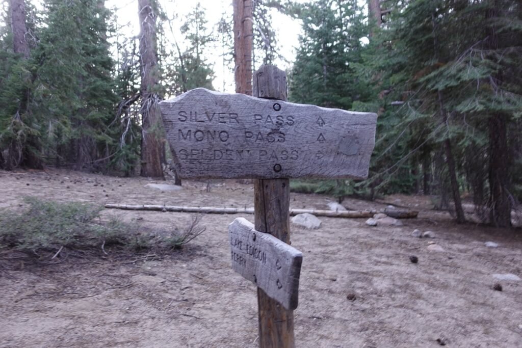
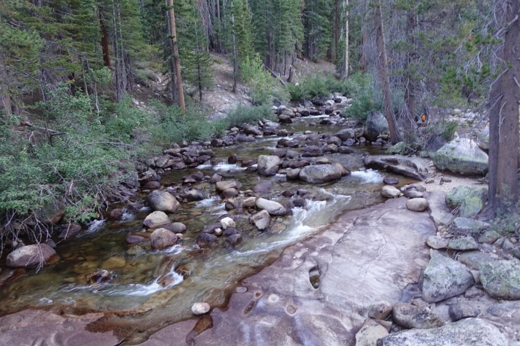
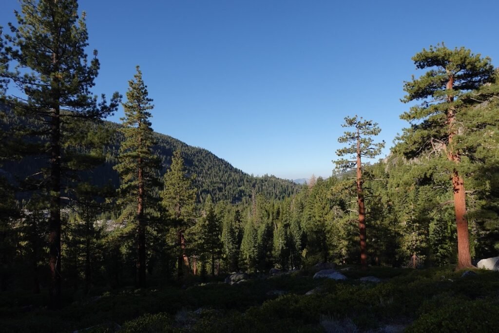
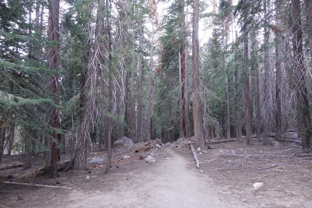

There wasn’t much to see (amazingly I took very few pictures for the first couple of hours that morning) until I turned left and started up from Mono Pass Trail Junction where the creek forked into two creeks. The trail gradually climbed up along the North Fork of Mono Creek, even giving me some nice light as I went.


It wasn’t long before I passed the beautiful Silver Pass Cascades. Amazing isn’t it?
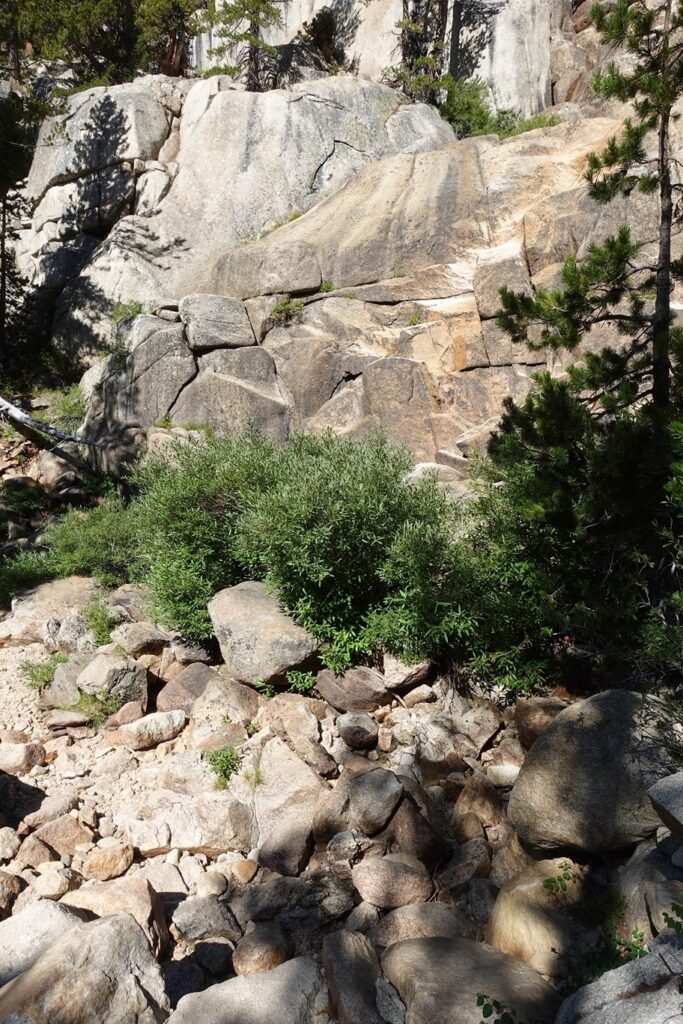
Being late August and just by the look of the rock, the creek and the cascades had obviously been dry for quite some time. I am glad I anticipated that water sources along this stretch would be dry and had enough water to reach Silver Pass Lake.
It had been dry as well back in 2020, so nothing new here to see. I continued North where some switchbacks awaited me, but they were pretty routine as switchbacks go.

After the switchbacks, some nice meadows awaited me and I strolled through them, slowly climbing towards Silver Pass.

And it was slow, taking a good chunk of the morning and a bit of the afternoon. That’s despite not being that steep or particularly long.


It was only when the trees thinned out around 10,000 feet that I started to be able to have an idea of where Silver Pass was.
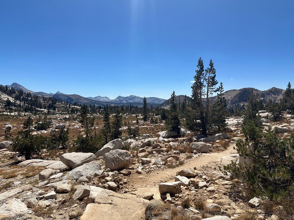
In the middle of the photo below is the primary target for the day: Silver Pass
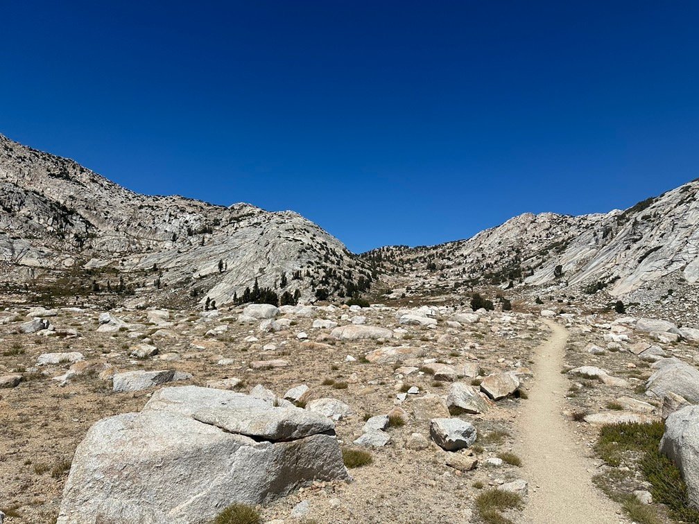
At the top of the far ridge? Unseen to the left behind the near ridge? Nope… wait for it.

Finally, Silver Pass Lake came into view.

I had enough water, so didn’t need to stop.
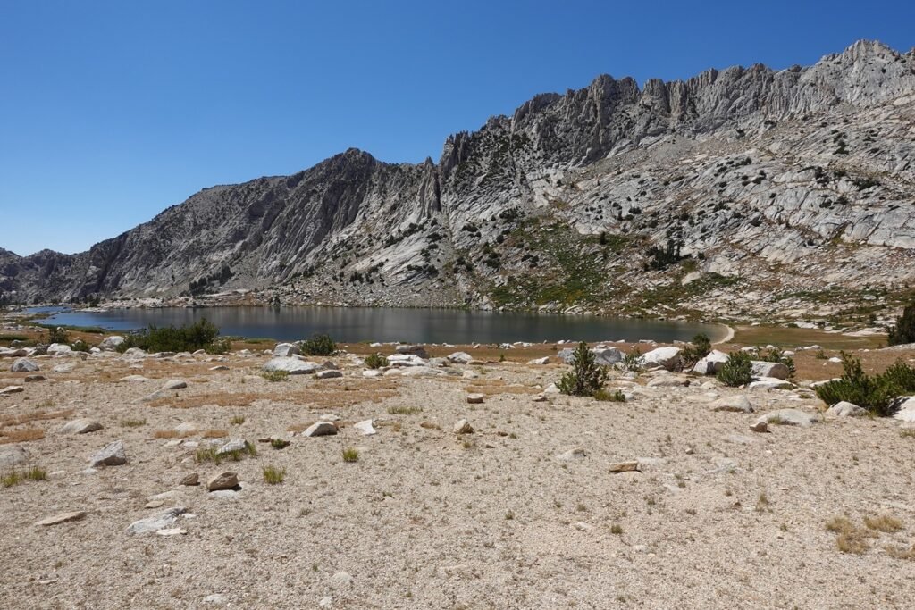
But I did see the ‘beach’ on the North shore of the lake where I had refilled my water, rested, and got a suntan at in 2020. Well, the first two at least.
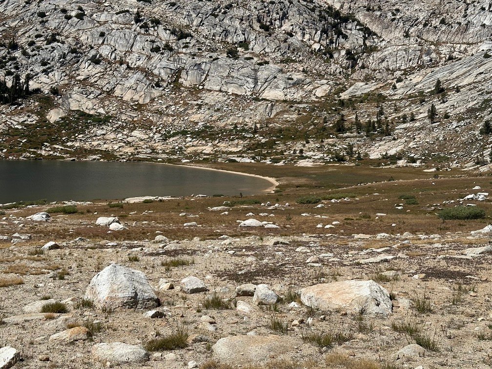
Being a climb up to a pass, you’d think it’d be a horrible long slog. But it wasn’t. Not too much to navigate as it gently rose to the pass.
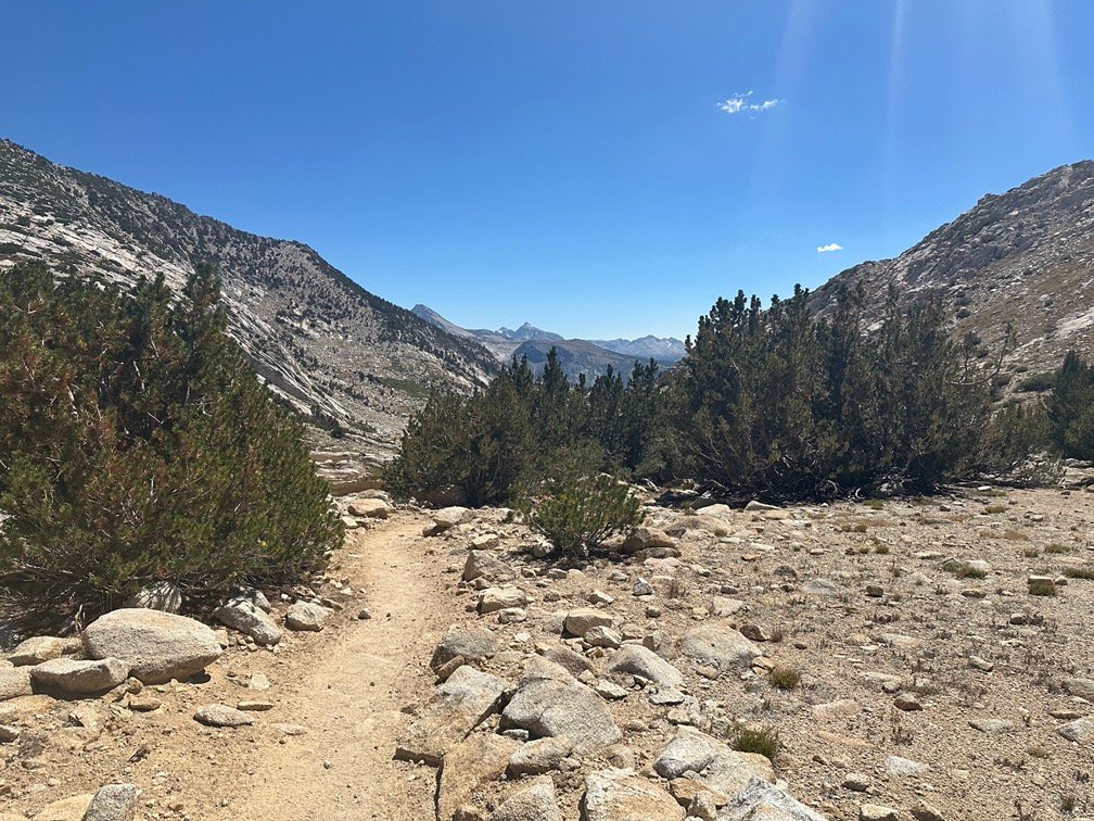

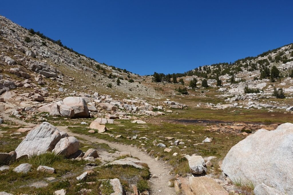
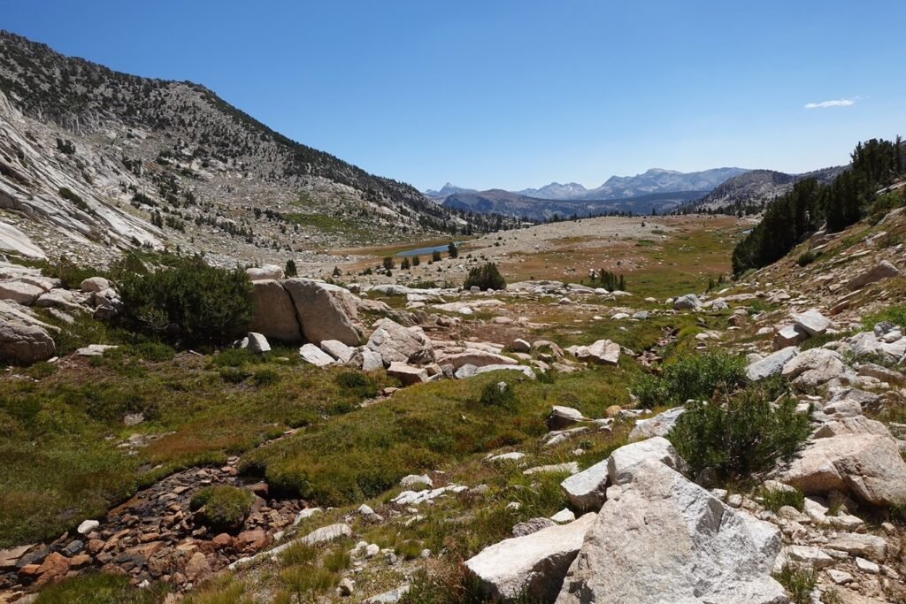

Ah, still a long way to go, right?
Nope. The picture below is from Silver Pass!! A ‘mere’ 10,384 feet. No wonder most of the day was pretty non-horrible and non-mind numbing.

And if it wasn’t the pass, I wouldn’t taken a pass selfie, right?

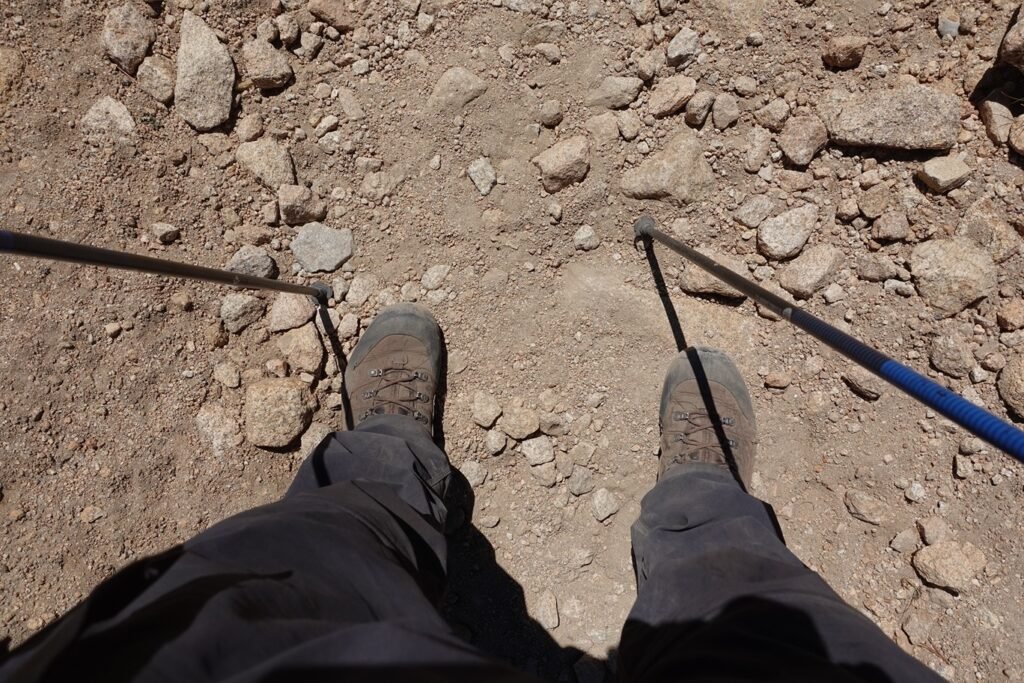
And if this was the pass, then this must be the way to descend down to Chief Lake (you can’t see it in this picture). Right?
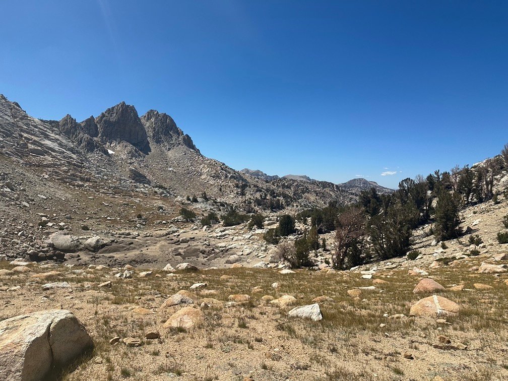
Nope!
Well, not going back from where I came from…
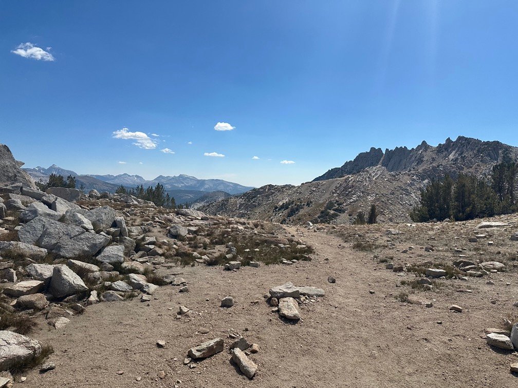
This way? Are you freaking kidding me?

This? Not quite…

Here’s the way forward! Why wasn’t this high point called Silver Pass instead of where I stood?
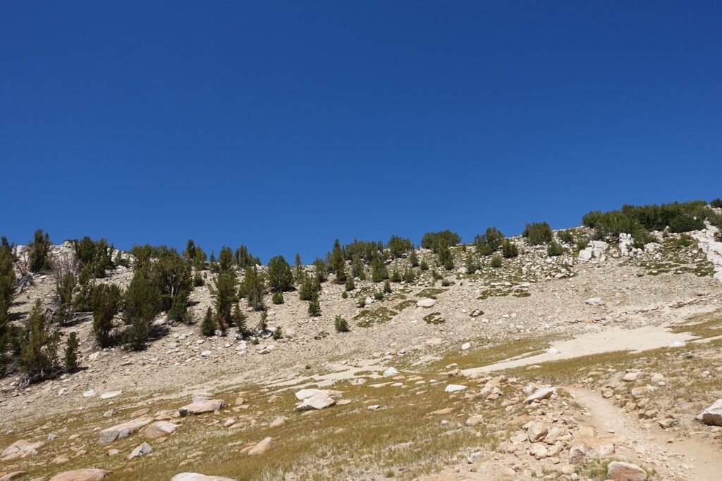
Because it wasn’t a pass. It was a ridge line between Silver Pass and a group of lakes named after Native American terms. The ‘Pass’ was between Silver Pass Lake and Chief Lake. The PCT continued North over this ridge, probably due to it being an easier route in the long run than descending towards Chief Lake would be.
It did look a little scary on the map and satellite view. So, more climbing.
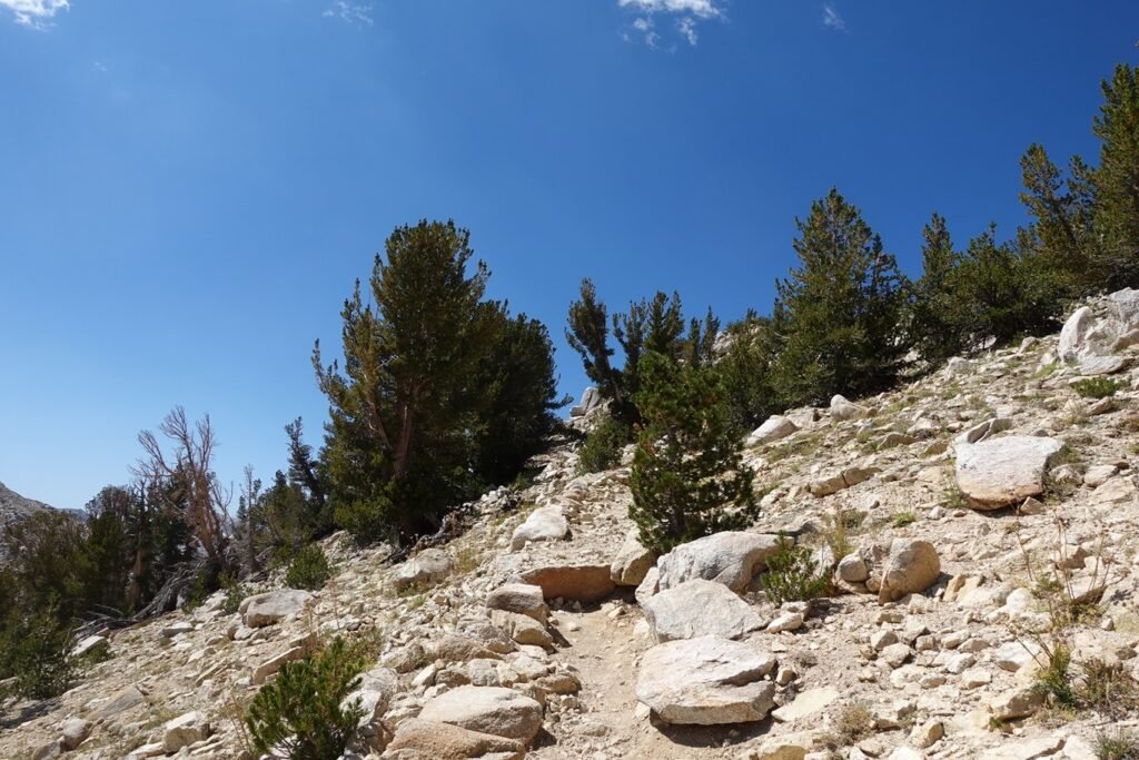
But not too much and with a last look behind me towards Silver Pass and Silver Pass Lake…

I looked towards the North… Dang, those look like switchbacks with Chief Lake to the left and Warrior Lake near the center.

There actually was a great spot to camp before the descent towards the lakes that tempted me to stop. Even if it wasn’t officially a ‘pass’, it had a great view and I took a ‘pass selfie’ just because I was there and it was a great view.
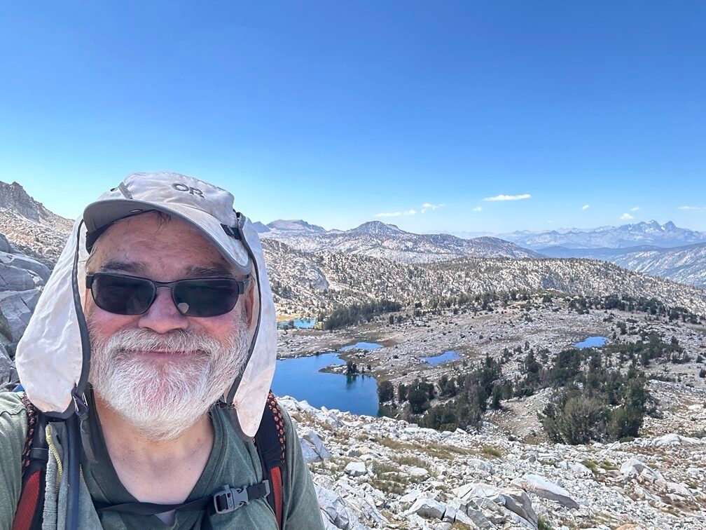
The climb up to Silver Pass from the lake and then to this high point was very easy, so didn’t take much time and it was only mid-afternoon. Plus, I had thought I had enough water when I passed by Silver Pass Lake without refilling, but I hadn’t physically checked so… I was almost out of water. Oops…😀
So, I continued down towards the lakes.
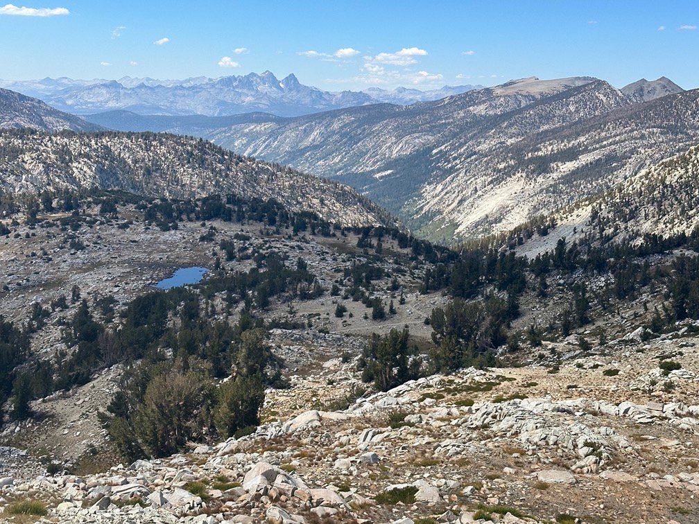

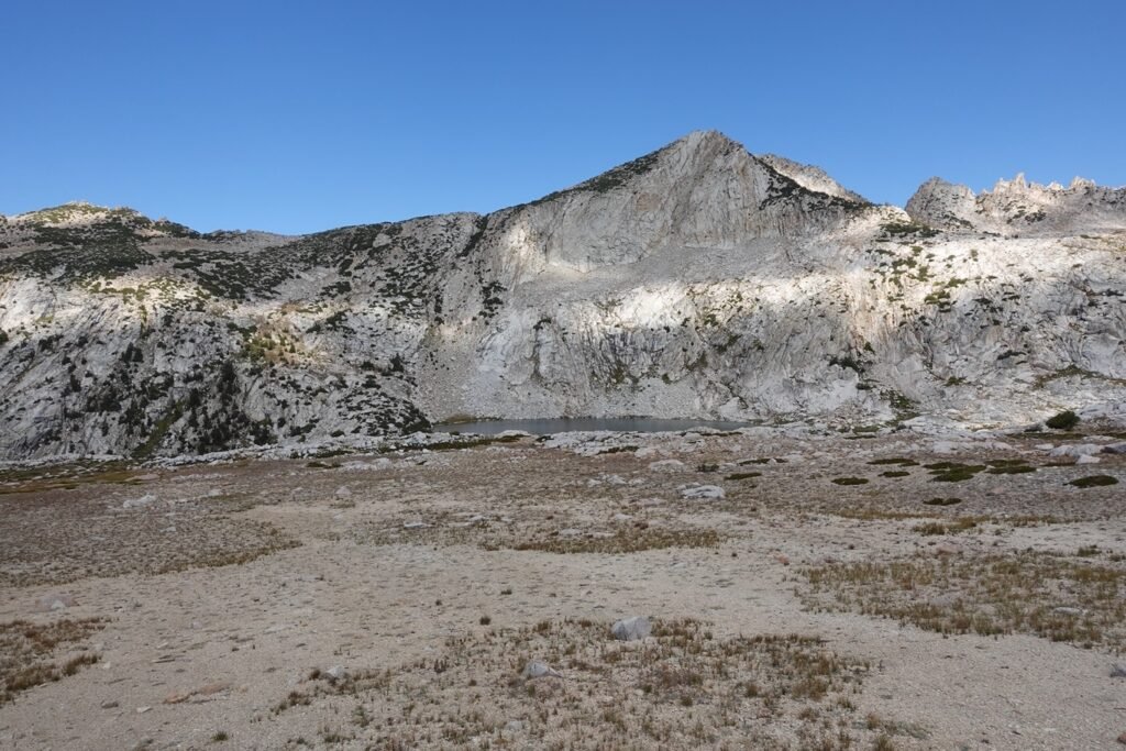
It was a lovely area with great views around. Chief Lake to the left below and just a tiny Papoose Lake in the distance.

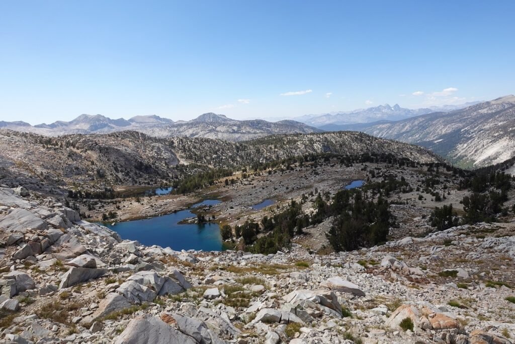
Past Warrior Lake…
Was the most useless sign post ever!!

Weathering had obliterated all it’s wording, so it was a pointer to… where exactly? Fortunately, my GPS app knew where I was at this intersection and I turned right and continued along the PCT.
The fact that taking a left would take me down to Papoose Lake and Indian Lake (below), was another good reason to turn right.
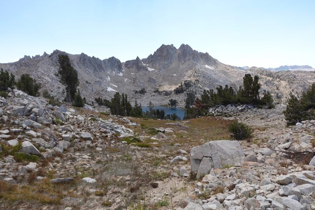

As I was descending, I caught sight of Squaw Lake… err… Nüümu Hu Hupi Lake.
Very nice sight as I descended further into the basins holding this group of lakes.

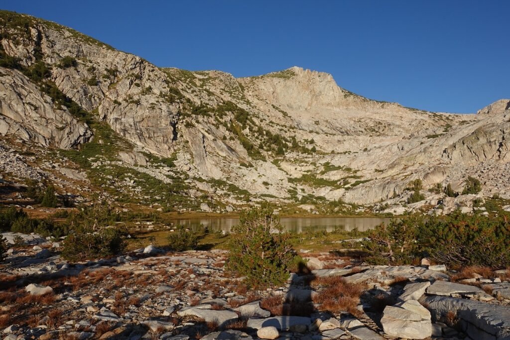
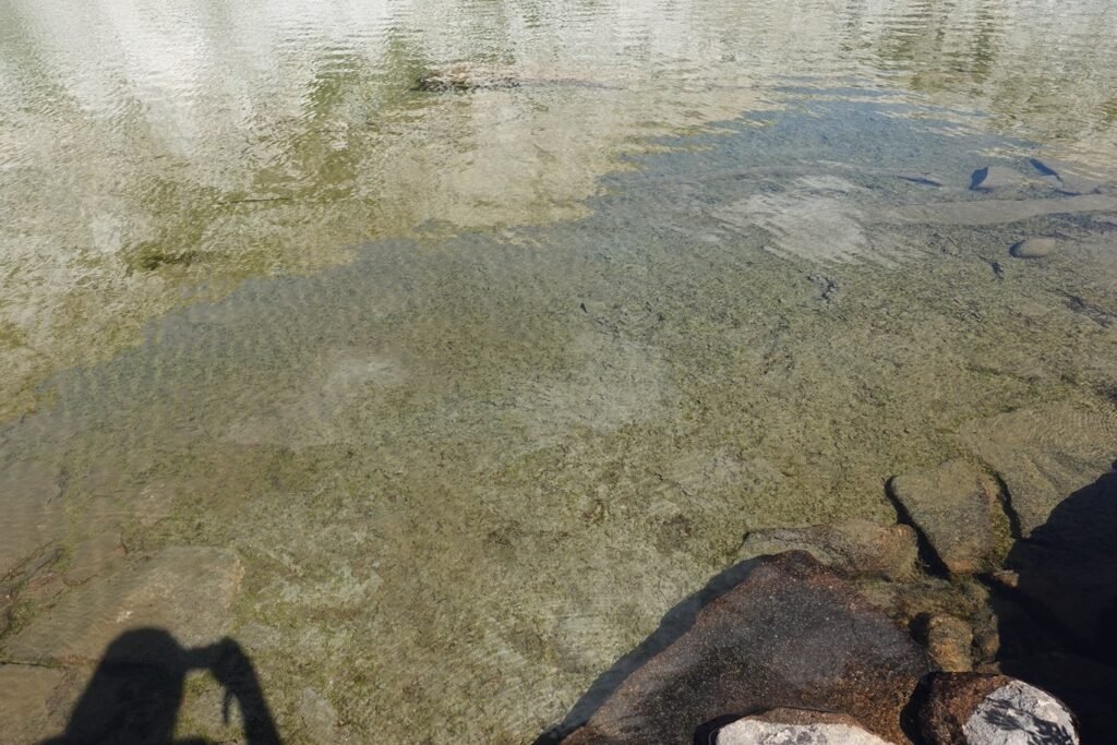
After reaching the lake around 4pm, I took a long break and took a nice swim.
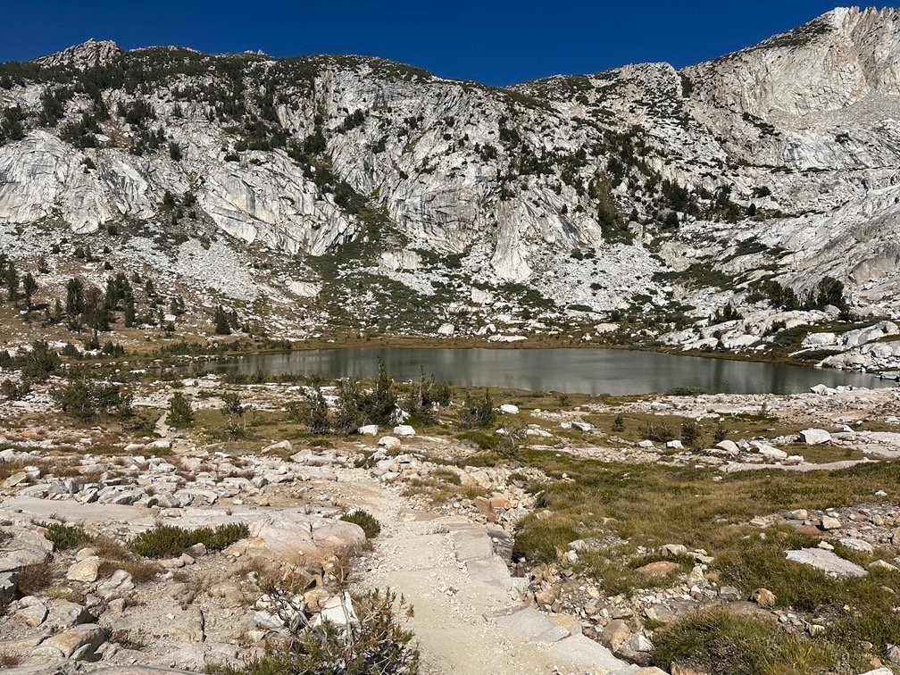
Nope. First, the water was too cold.
Second, it was a fairly shallow lake. But it was enjoyable place to rest and decide what to do.
Looking to the canyon ahead of (well… more DOWN) from me, I could tell it would be a very nice hike…


For the next day. 😀
I knew from my GPS map and my hike in 2020 that the next 3 to 4 miles was mostly through a forest along Fish Creek. Nice hike overall, but I didn’t feel like descending any further that day.

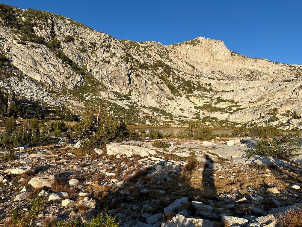
Besides, I had a great view from a campsite along the edge of the ridge that separated the lake from the canyon below.

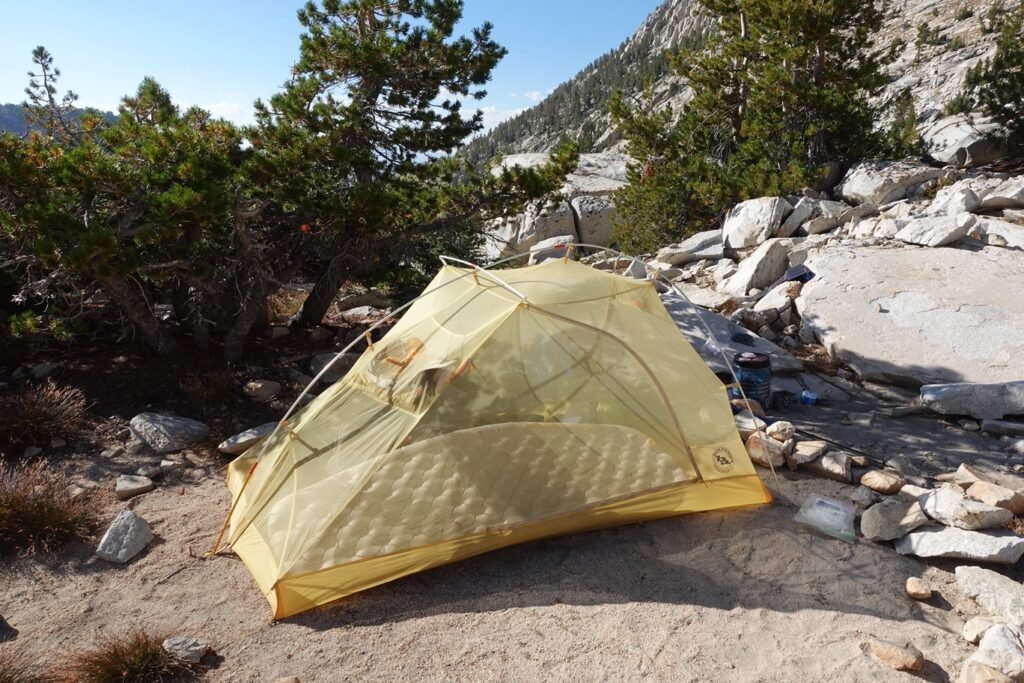
I just had to be careful where I stepped. The two photos below don’t quite capture how sheer of a drop off there is beyond the trees and rocks separating my tent from oblivion.
I’ll have to be careful where I go when I have to go during the night. 😀
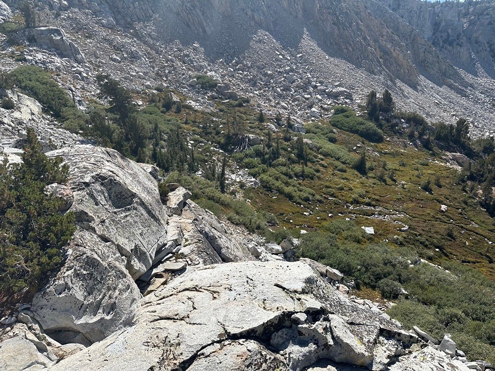
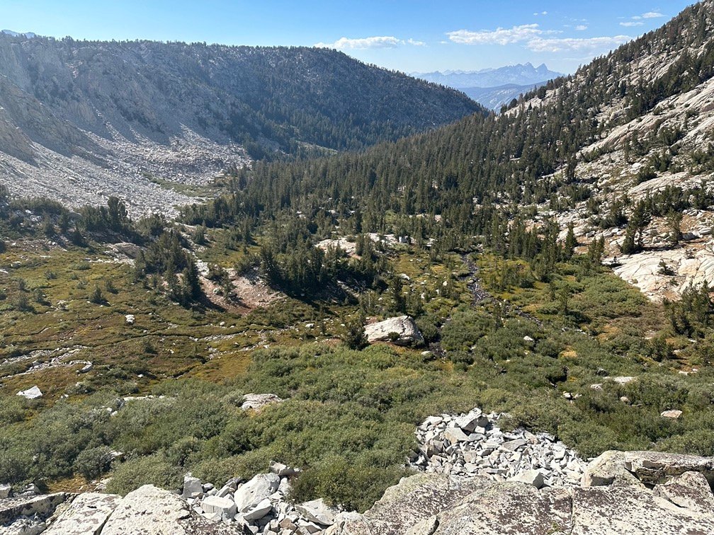
Besides that deadly step off, it was a perfect place to stop for the day.
As evidenced by the pictures below.
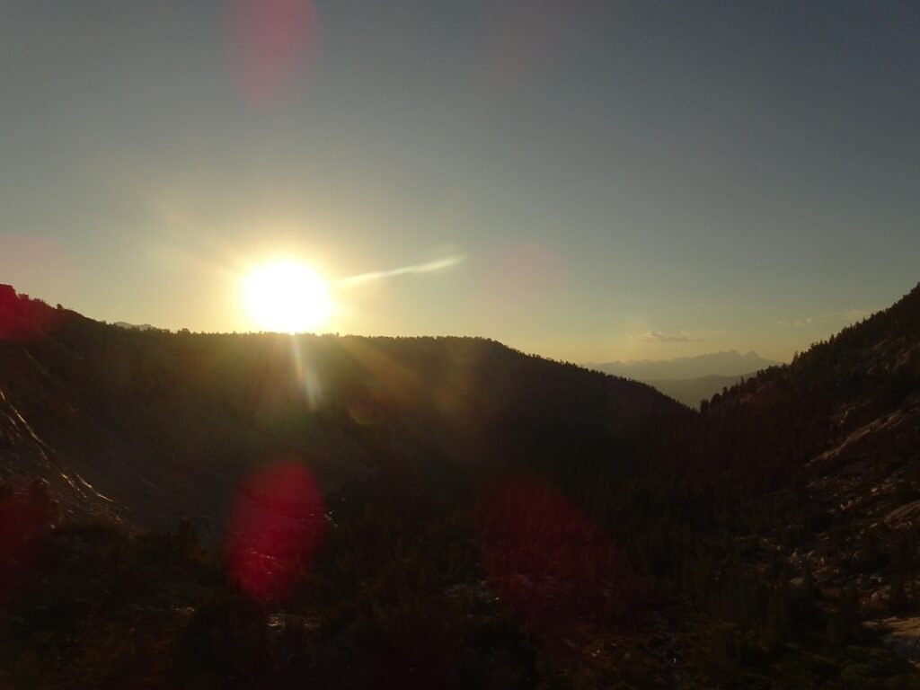
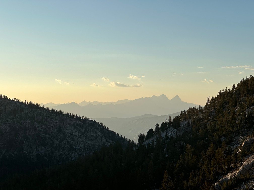


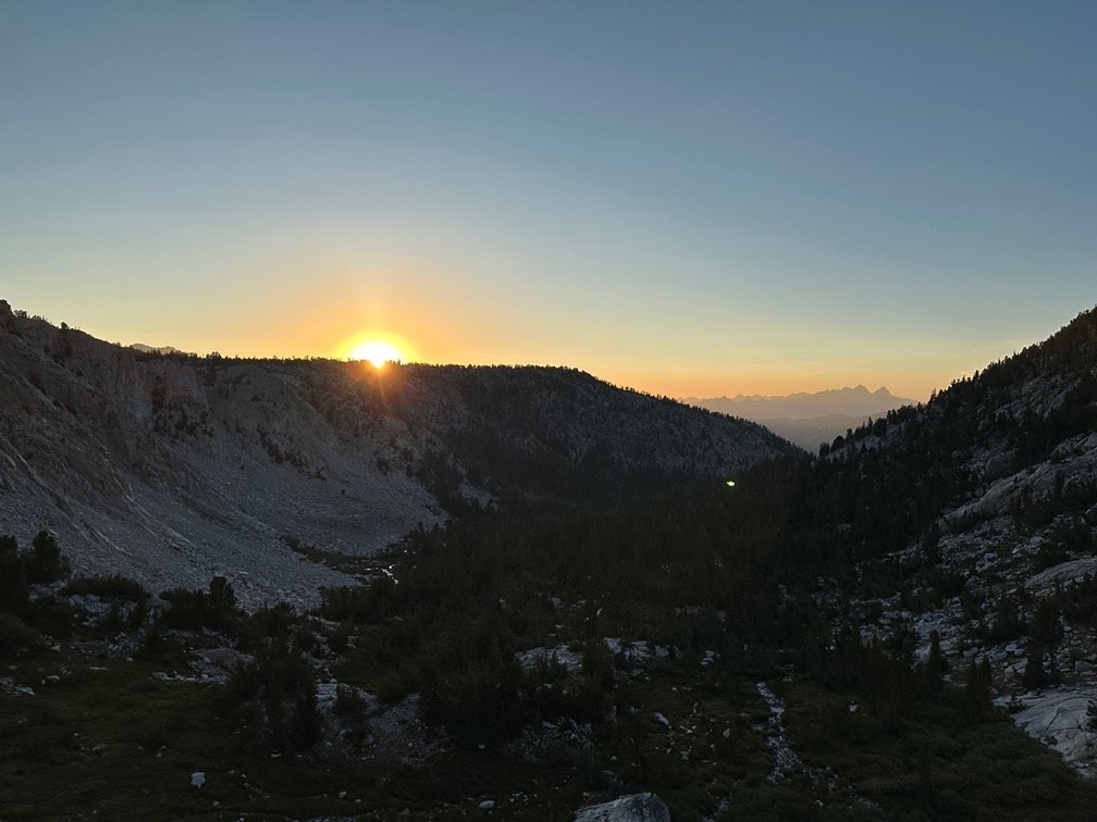
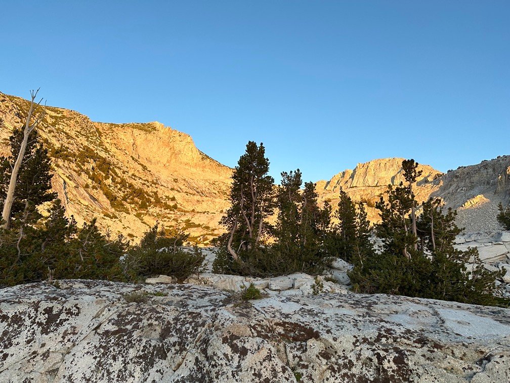
Even the last light of day was great from where I was.
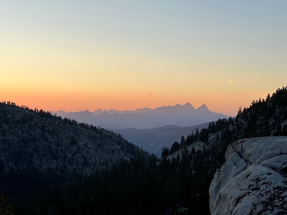
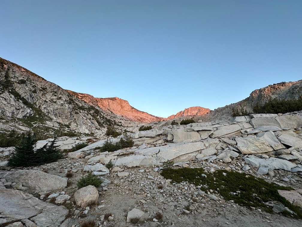
Goal for the day: Success!
Day 15 – 9.1 miles – 8 hours 55 minutes
PCT section H – 119.5 trail miles out of 175.5 total miles

(mileage and time approximate and based on GPS tracks which may not be exact and include diversions from the trail)




Comments by WanderingJim
JMT 2020 Day 3
"I'm afraid I have no idea. Not really a fisherman, so don't..."
JMT 2020 Trek Day by Day
"Yeah, but with 9,000 pictures, it's hard to label each one..."
Kilimanjaro – October 2019
"Everest Base camp is on my list too. Mostly since I know..."
Kilimanjaro
"You started hiking with Kilimanjaro first? Even I worked my..."