Goal for the day: High Trail Ridge
I was late getting out of Reds Meadow.
It wasn’t that I over slept, was thinking of taking a Zero Day, or thinking of aborting to Mammoth Lakes. It was that I had to wait until 7am to get a real breakfast at the cafe. So, I woke up, prepped my gear, had a Diet Coke (caffeine), and had a nice big French Toast breakfast.
Ah…
Then I headed back to the PCT.
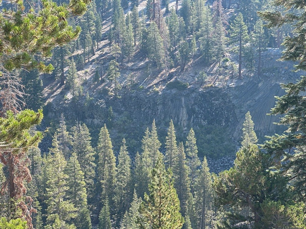
First, I just had to head North and get a look at Devils Postpile as I passed it along the combined JMT/PCT.


Then I reached the junction where the PCT split from the the JMT at PCT mile 910 and headed East towards Agnew Meadow.
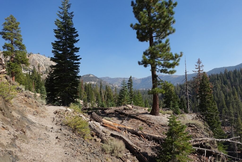
The biggest challenge was going to be the destroyed bridge over the Middle Fork of the San Joaquin River. Why the concern when the bridge looks easy to cross in the picture below? 😀

Not being a gymnast that could use the single remaining beam as a balance beam to cross, I surveyed the edge of the River based on trail reports. There was a log that crossed the river a couple hundred feet to the North. It looked do-able, but to get down to the log, it was a fairly dangerous slide down a steep dirt bank.
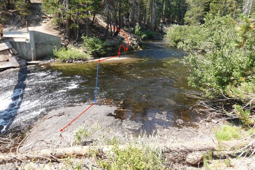
I decided to go back to what was left of the bridge. The water wasn’t flowing that fast and wasn’t that deep, so I carefully planned my path. A descent along a easy slope down to the edge of the river, hop over to a sand bank, then some ankle-deep water to walk through, and two final steps in slightly deeper water that got the tops of my boots and edge of my socks damp. A flat shelf of volcanic rock made the end of the crossing very easy.

Seemed pretty easy in retrospect. I’m sure earlier in the year, the river was running stronger and higher that would have made this harder. Since this bridge had easy road access for repairs, I have to wonder why they hadn’t repaired this bridge when the bridge deep in the wilderness had been replaced. Granted the bridge over the South Fork of the San Joaquin River was in a area that made fording the river difficult and dangerous in the wrong conditions. Crossing this bridge wasn’t as dangerous and had a marked detour (but that detour skipped so much of the PCT, that I didn’t even consider using it).
After crossing the river safely, it was an easy hike up to Agnew Meadows.

I had been a little worried that with the late start from Reds Meadow that I wouldn’t get to the High Trail that traced it’s way across the ridge overlooking Agnew Meadows that Day. But I got to the High Trail Trail Head mid-afternoon. Plenty of time to take a break to rest before climbing up to the ridge.


There were some switchbacks to climb, but they just took some time to navigate.
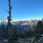
The view from the ridge was great and the rest of the day was mostly an easy horizontal scroll Northward.

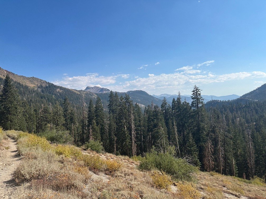
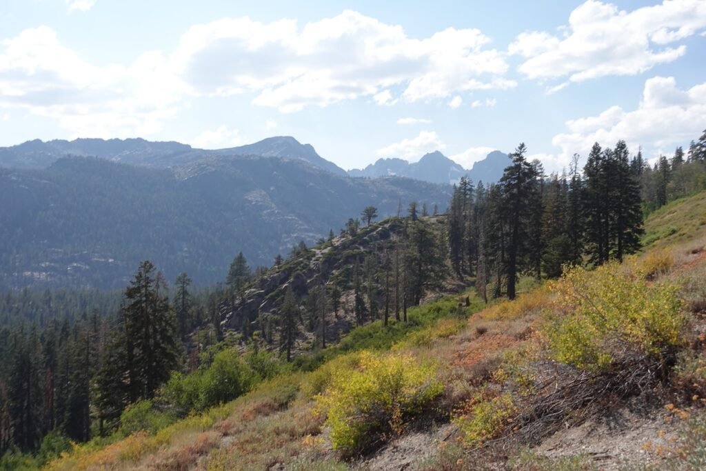
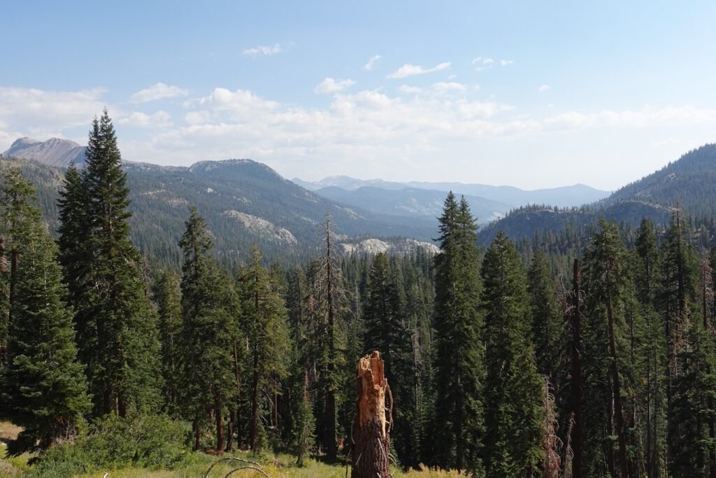
Maybe too easy.
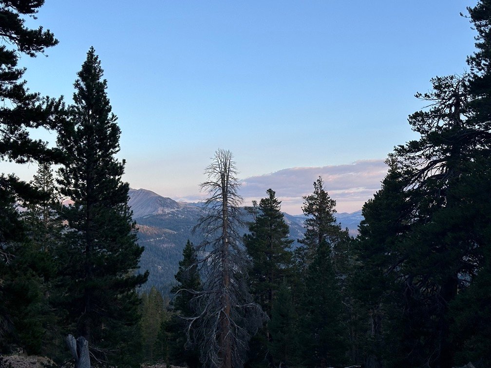
I decided to use one of the first campsites I came across. A nice campsite with some nice views, but I wish I had gone a bit further that day.

But, the main goal was in reach tomorrow: Finish the little 17.5 detour that the PCT took away from the JMT.
And at the same time: Complete hiking every mile of PCT Section H!
Goal for the day: Success!
Day 18 – 11.1 miles – 8 hours 10 minutes
PCT section H – 150 trail miles out of 175.5 total miles

(mileage and time approximate and based on GPS tracks which may not be exact and include diversions from the trail)




Comments by WanderingJim
JMT 2020 Day 3
"I'm afraid I have no idea. Not really a fisherman, so don't..."
JMT 2020 Trek Day by Day
"Yeah, but with 9,000 pictures, it's hard to label each one..."
Kilimanjaro – October 2019
"Everest Base camp is on my list too. Mostly since I know..."
Kilimanjaro
"You started hiking with Kilimanjaro first? Even I worked my..."