
Many of the 14ers I had identified to climb during this trip were named after famous colleges (Harvard, Yale, Princeton). They were all clustered in a group called the Collegiate Peaks. They also gave the Collegiate Loop it’s name since they are all enclosed within the loop.
The first two 14ers I wanted to climb were Mt Harvard (14,420 feet) and Mt Columbia (14,073 feet). While they are close together, doing both as a day hike is a very hard and long day.
I had identified a route that could take me from the Colorado Trail (CT), down Frenchman Creek and up to the summits of Harvard and Columbia using a traverse over the saddle that connects the two summits. While it seems simple on a map, the more I looked into it and asked about it I came to conclusion that it was out of my skill range. While some of it was a fairly clear class 2 route, the route up to the summit of Mt Columbia was a very rough route with almost no visible trail with parts being class 3. Just using that traverse once would likely be impossible for me, but to do Harvard and Columbia from the CT you basically had to do it twice in both directions to get from and back to Frenchman Creek. I doubt I could do it and it could end very badly for me if I tried.
So without being able to do it directly from the CT, the other option would be to go in through the North Cottonwood Trailhead, hike into Horn Fork Basin, and climb the two summits from there (probably on two separate days).
That would be quite the detour from the CT to do, so I decided to just do that part of the hike as a ‘warm up’ for the rest of my hiking and climbing.
Yes, climbing the third highest 14er in Colorado (Mt Harvard at 14,420 feet) was somehow a ‘warm up’ in my brain. But three years ago I did start my climb of the Colorado 14ers with the highest mountain in Colorado (Mt Elbert at 14,433 feet), so the soundness of my mental reasoning has always been in question. 🙂
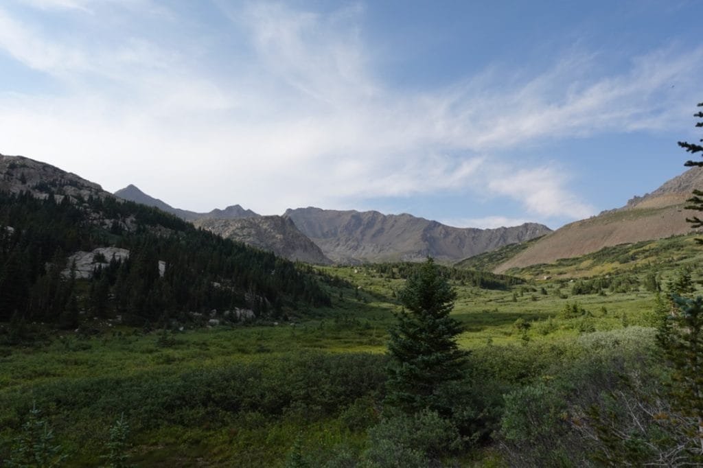
So, after dropping off a resupply package at Monarch Pass, I drove to the North Cottonwood Trailhead and backpacked into Horn Fork Basin on my first full day in Colorado. I had taken Diamox for 3 days and slept at 4,000 and 8,000 feet during the drive to Colorado in order to acclimatize. Camping that first night in Horn Fork Basin at 11,600 feet also helped get me used to the high altitude I’d be spending a lot time at during the next 2-3 weeks.
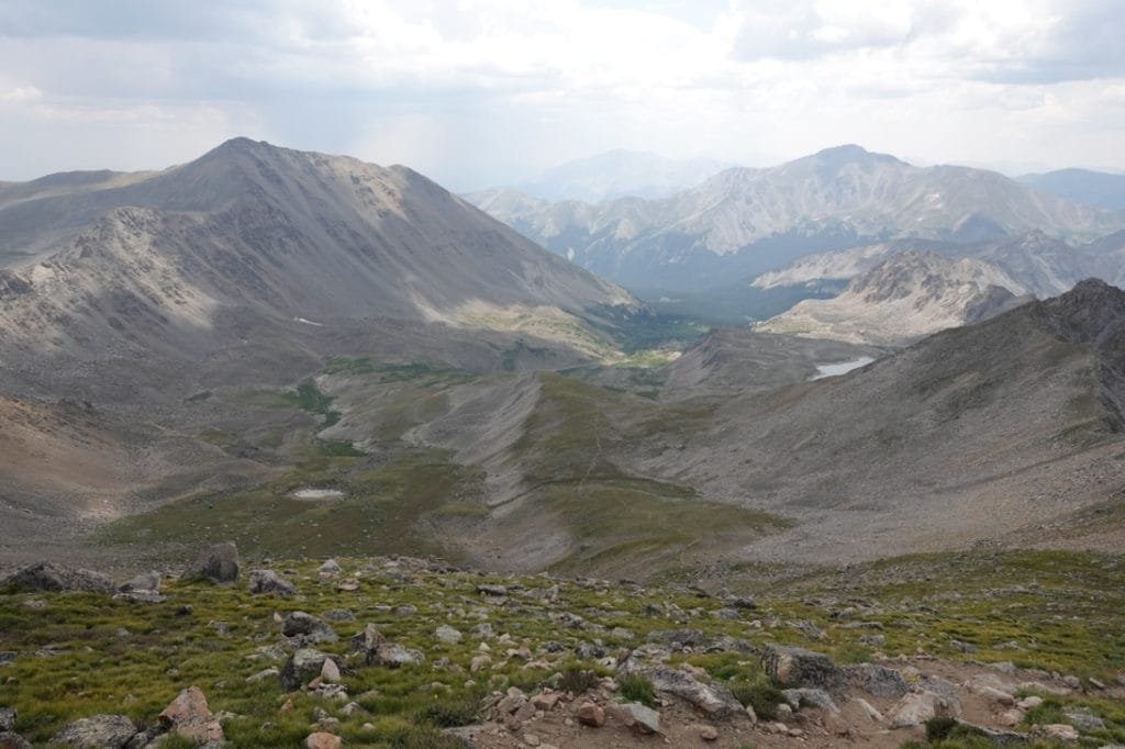
I had thought about going up to Bear Lake at 12,374 feet to get closer to Harvard and probably have a better view for Sunset and Sunrise, but decided against it since there wasn’t any tree cover up at the lake.

That turned out to be a good call since there was some rain and I heard some thunder that evening. Being out in the open at high elevations without any cover may have been a bad thing.
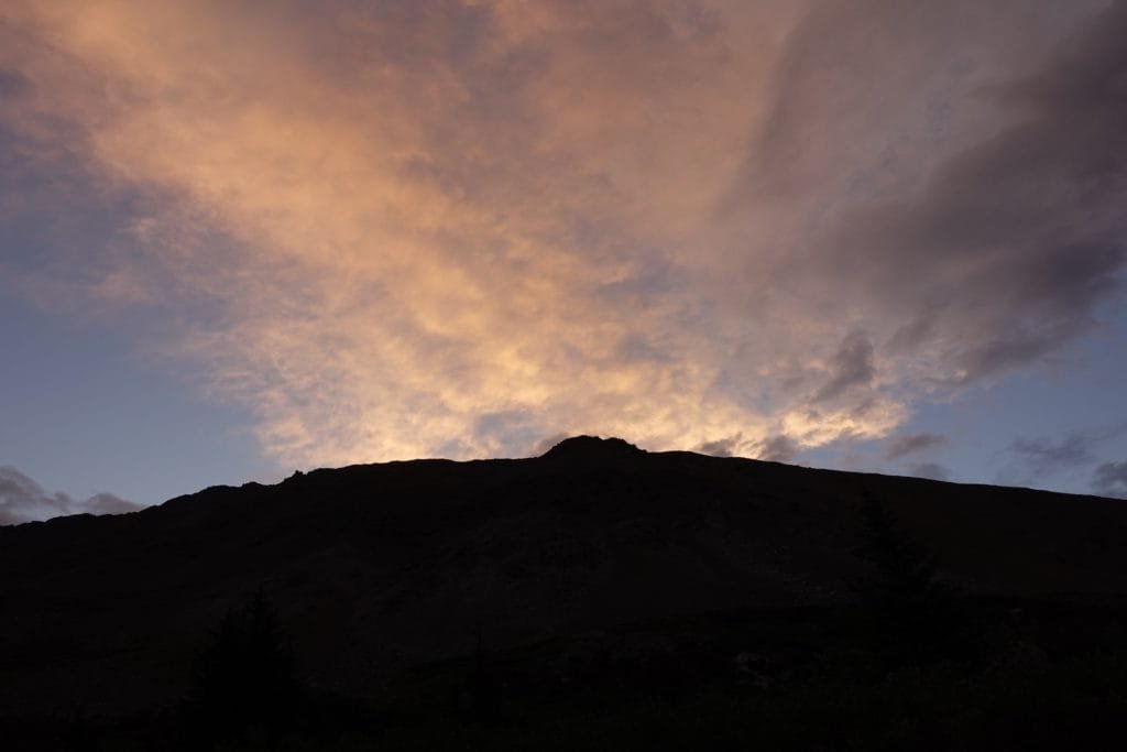
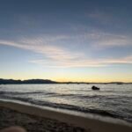
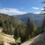
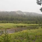
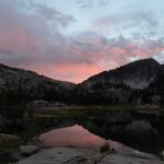
So, I camped on the edge of the tree line and if I walked a a couple dozen feet I had a few open views of the mountains surrounding me, including my targets for the next two days (Mt Harvard and Mt Columbia) and to the south I could see Mt Yale that I hoped to climb later in the trip. After enjoying what light I could see of the sunset, I settled into my tent for my first night on the trail.
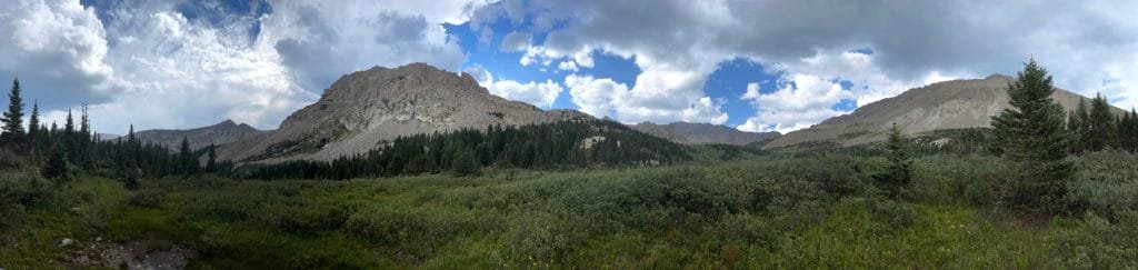
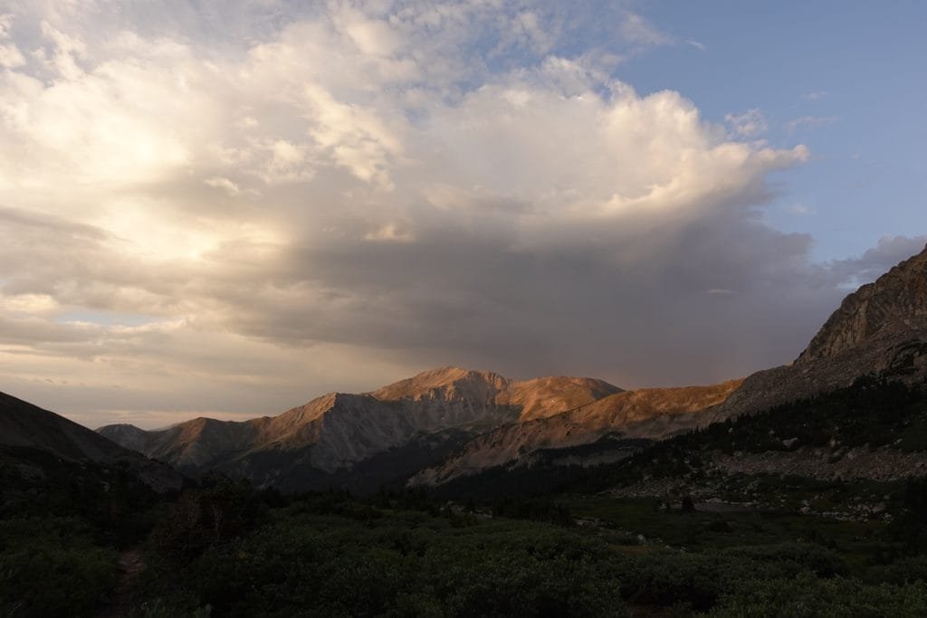
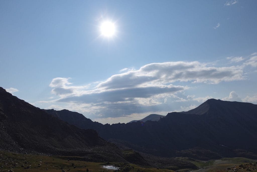
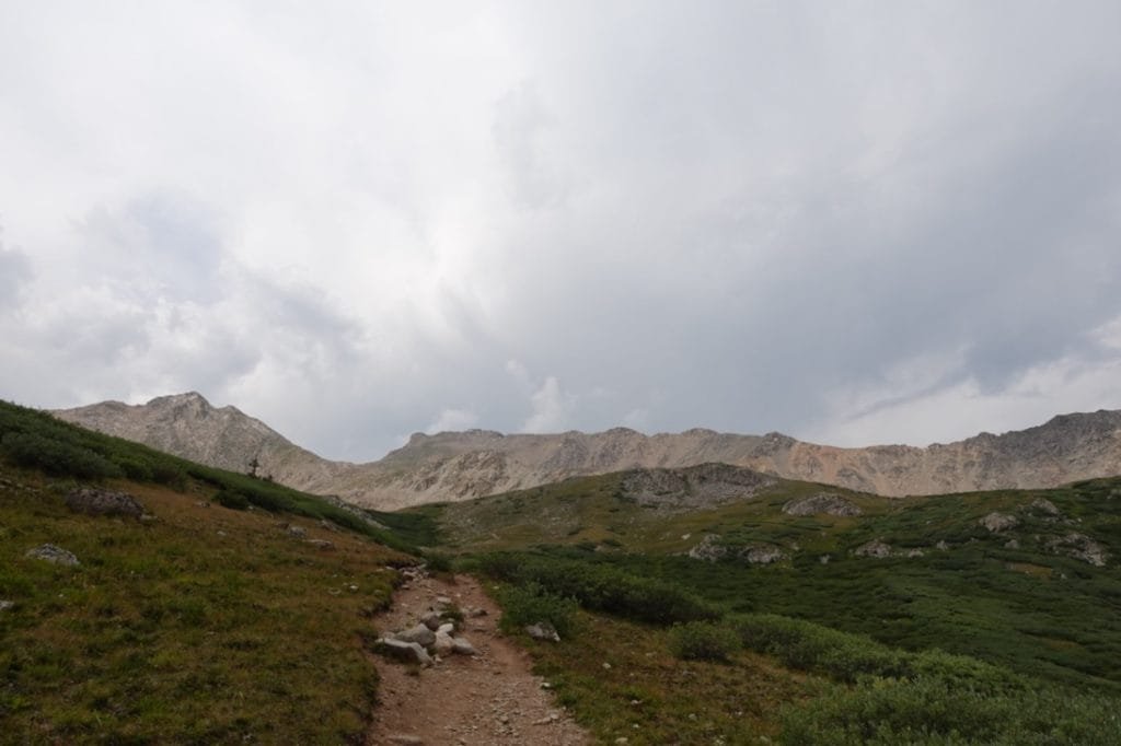
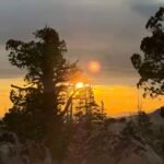
I was up early (as usual when I backpack), had breakfast, and started the long hike up to the summit of Mt Harvard. I got to see some nice light from the Sunrise on the way up. I was a little worried abut some of the dark clouds that were hanging in the sky that morning, but they started to clear up as I climbed up towards the summit.
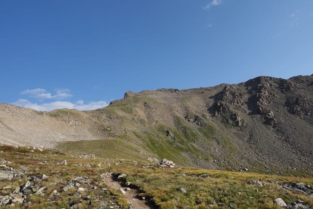
The first part was a pretty typical class 1 trail that wound gently up past Bear Lake. There, I verified that there was no cover near the lake, but the view would have been great.
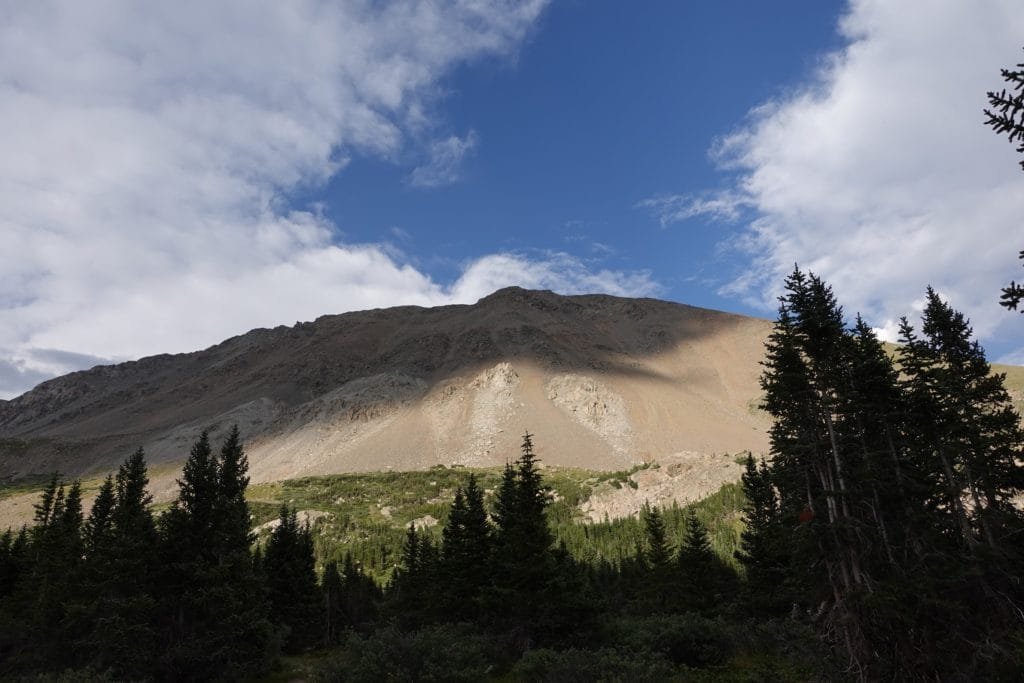
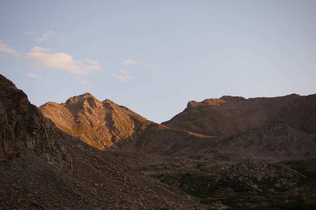
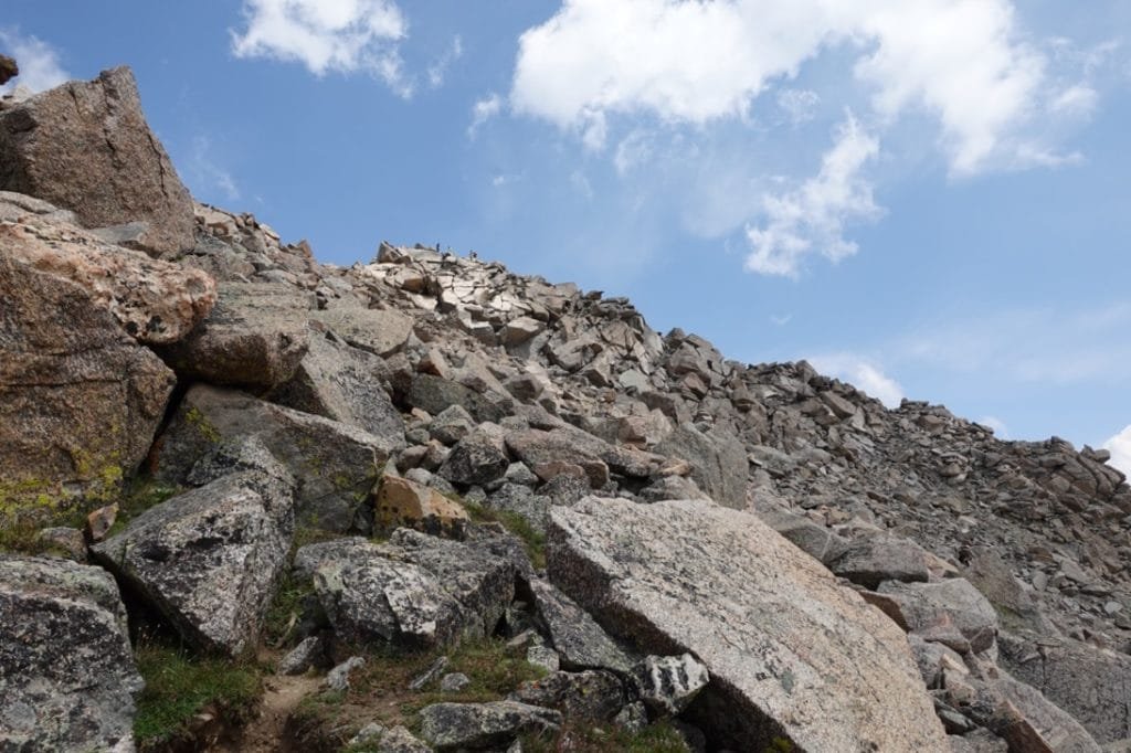
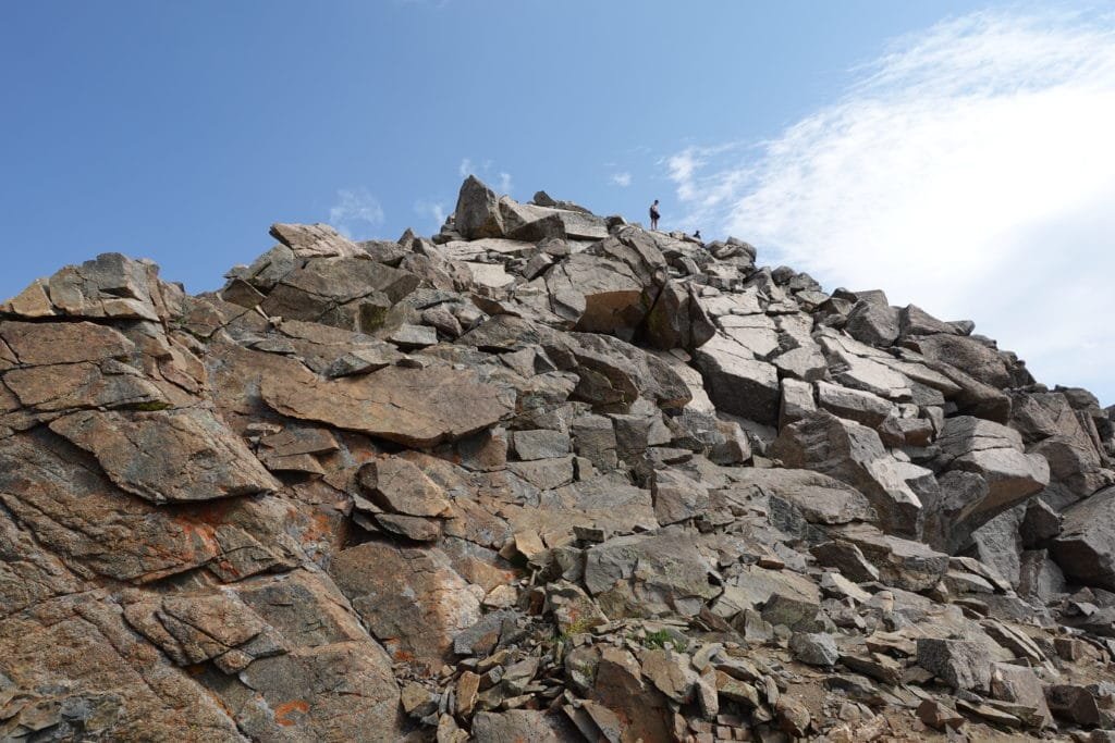
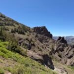
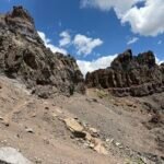
Then the harder steep class 2 section began as the trail snaked up the loose rocks and scree on some (mostly) well defined switchbacks. Just took time and energy to make the long slog up to the summit block.
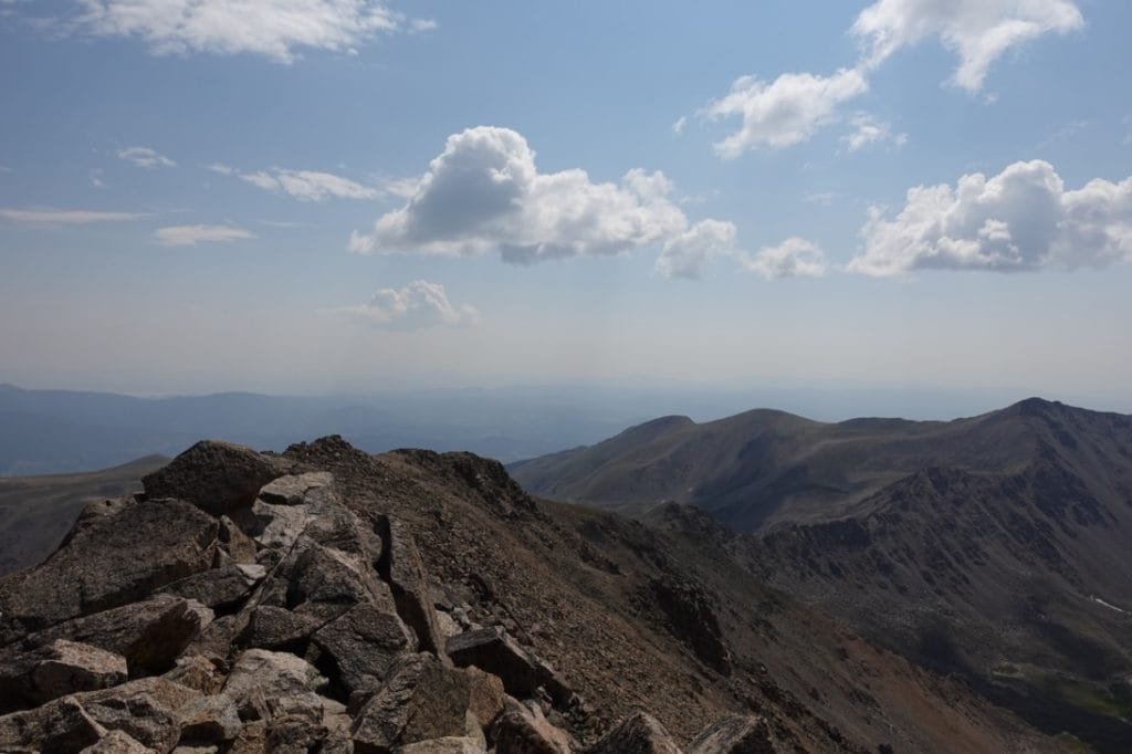
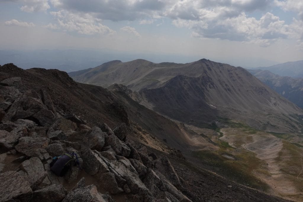
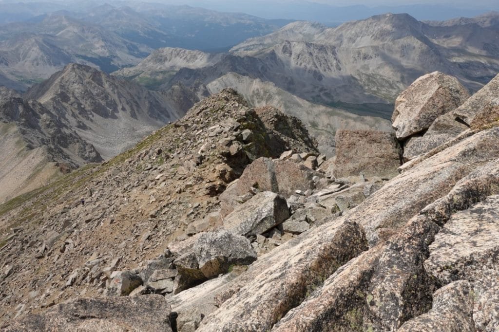
I’ve seen worse summit blocks, but I still had to pick and choose the best class 3 route up the last 100 feet of the mountain. One young couple started by trying to find the HARDEST route up to the top, but then settled on a more straightforward route to reach the summit. I followed close behind and made it to the summit!
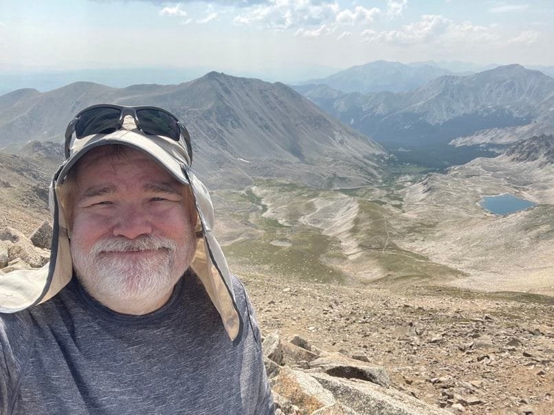
Mt Harvard 14,420 feet! My ninth Colorado 14er overall and first for this trip.
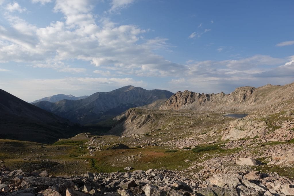
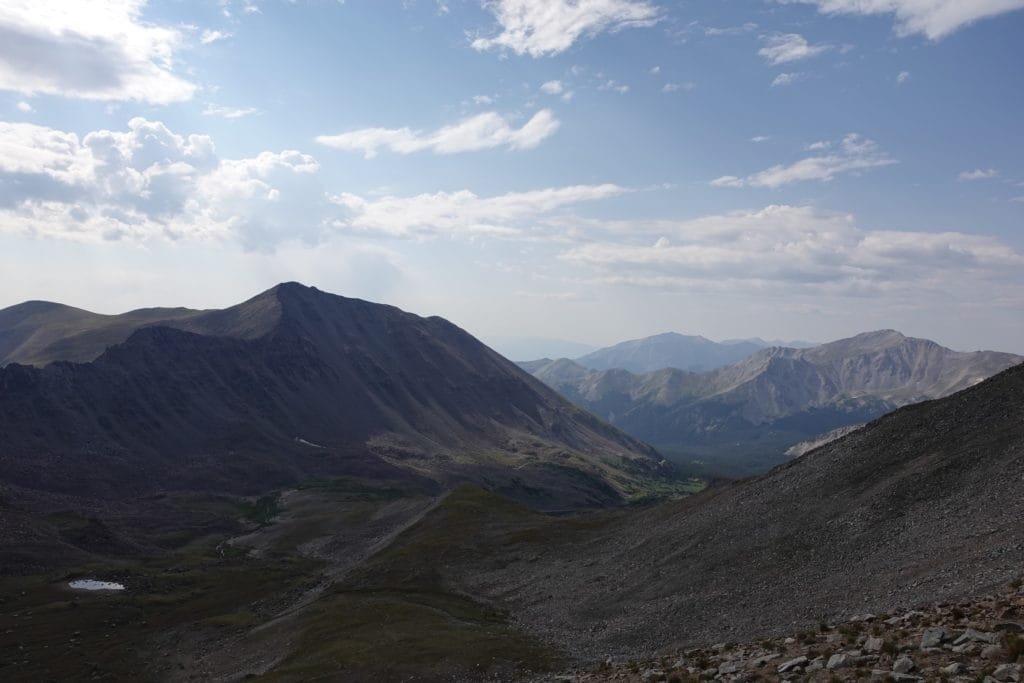
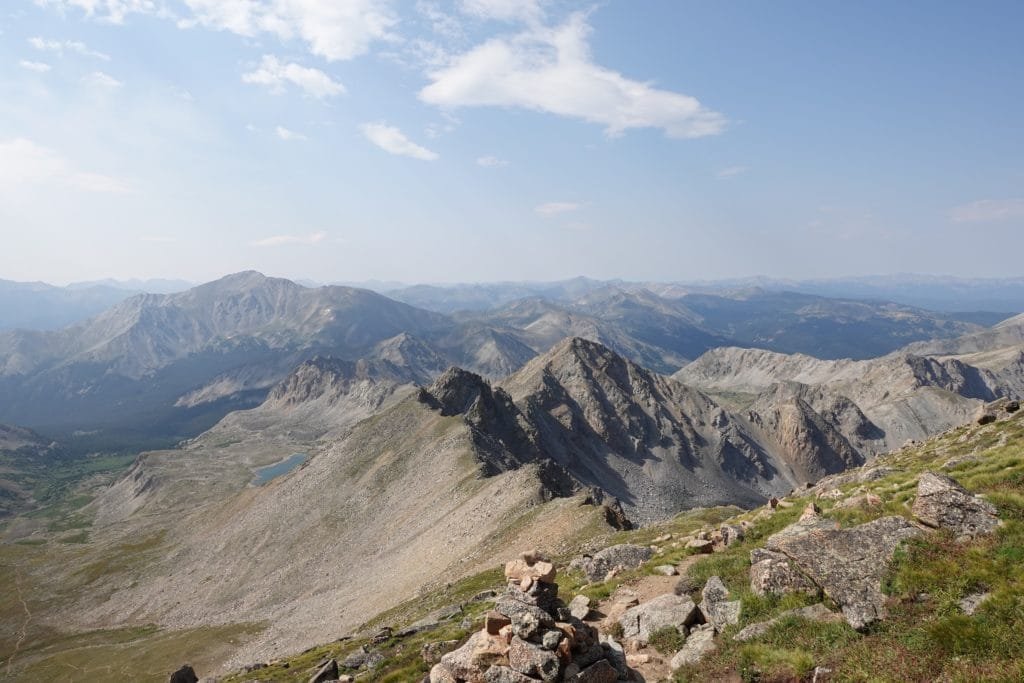
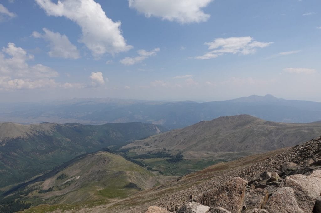
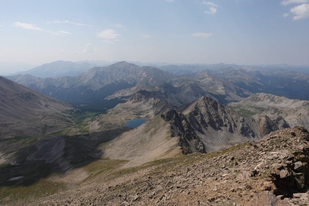
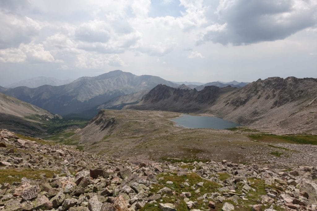
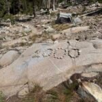
Spectacular views all all around! I took my usual series of photos and signed the summit register located in a small lock box. Then I took a much needed break and had a snack for lunch.
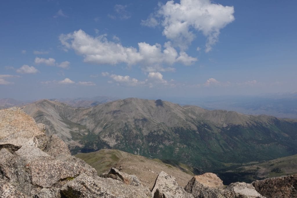
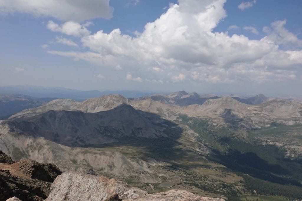
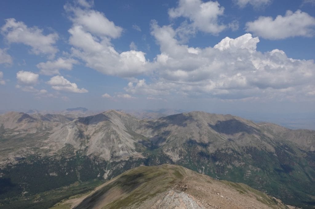
I also looked over at the traverse over the saddle to Mt Columbia and realized I made a wise decision not to attempt it. The young couple were planning on traversing over to the summit of Mt Columbia and then returning to the trailhead that same day. I wished them luck, but worried that they were leaving the summit of Mt Harvard pretty late to accomplish that full loop in a day.
Another older woman made it to the summit from the east. Turns out she had come from the CT using the route I had originally thought about doing. She had intended on doing both summits that day, but after the climb to Harvard’s summit was harder than she thought, she decided to skip Columbia. That helped confirm my decision to do the three day backpack to tackle these two summits was the correct choice for me.
I started down, dreading the upper part of the trail that had been the hardest part to climb. Going down was a little easier, but after the long slog up my body didn’t care.
As the easier part of the trail greeted my feet, the skies grew darker and I started to hear some thunder around me. The last part of the hike down was done under occasional light showers. Fortunately, my rain jacket kept most of me dry. I did think of the couple who had started across the traverse to Mt Columbia. The bad weather wasn’t going to make their climb any easier and the thunder could lead to more serious problems for them.
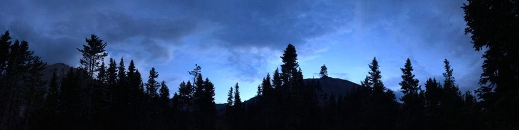
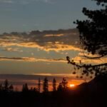
The skies did clear up a bit once I got back to my camp and had dinner, so I did get some nice light from the sunset.
Sore and exhausted, I went to bed and celebrated my first successful 14er for this trip!

Comments by WanderingJim
PCT DAY 85 – CA Section H
"No cell service in many parts of the PCT. Not dead yet."
PCT or BUST!
"Yes, I’ll be going through there by early August"
JMT 2020 Day 3
"I'm afraid I have no idea. Not really a fisherman, so don't..."
JMT 2020 Trek Day by Day
"Yeah, but with 9,000 pictures, it's hard to label each one..."
Kilimanjaro – October 2019
"Everest Base camp is on my list too. Mostly since I know..."