
I had originally planned on climbing Mt Elbert after La Plata Peak. It was a relatively short trail and I hoped I’d be warmed up enough to do the two peaks near Twin Lakes back to back.
But after the very long and tiring hike up to the summit of La Plata Peak, the rain and hail, and tweaking my right knee that plan was doubtful. Worse, I was worried the knee pain would limit my future hikes during this trip or cut the trip short altogether.
Fortunately, the knee felt okay in the morning when I’d walk around on it, so I was encouraged that it wouldn’t stop me from continuing to hike.
Unfortunately, the skies looked very menacing and the weather report didn’t look ny better.
So, I decided to take another zero day as I recuperated from the La Plata Peak climb and planned my next steps.
I didn’t want to wait in that area to do Mt Elbert that weekend since there were foot and bike races through those areas. That would lead to huge crowds and challenges on the trails, so I decided to skip Mt Elbert for the time being.
With Elbert off the table, I decided to start my Collegiate Loop trek. After being able to get a (very expensive) night at the Mt Princeton Hot Springs, I decided that starting the Collegiate Loop from that area (Chalk Creek Trailhead) was a good idea. That would also allow me to soak my sore body and especially my sore right knee in the hot springs to help soothe my body and prepare it for the hikes that would follow.
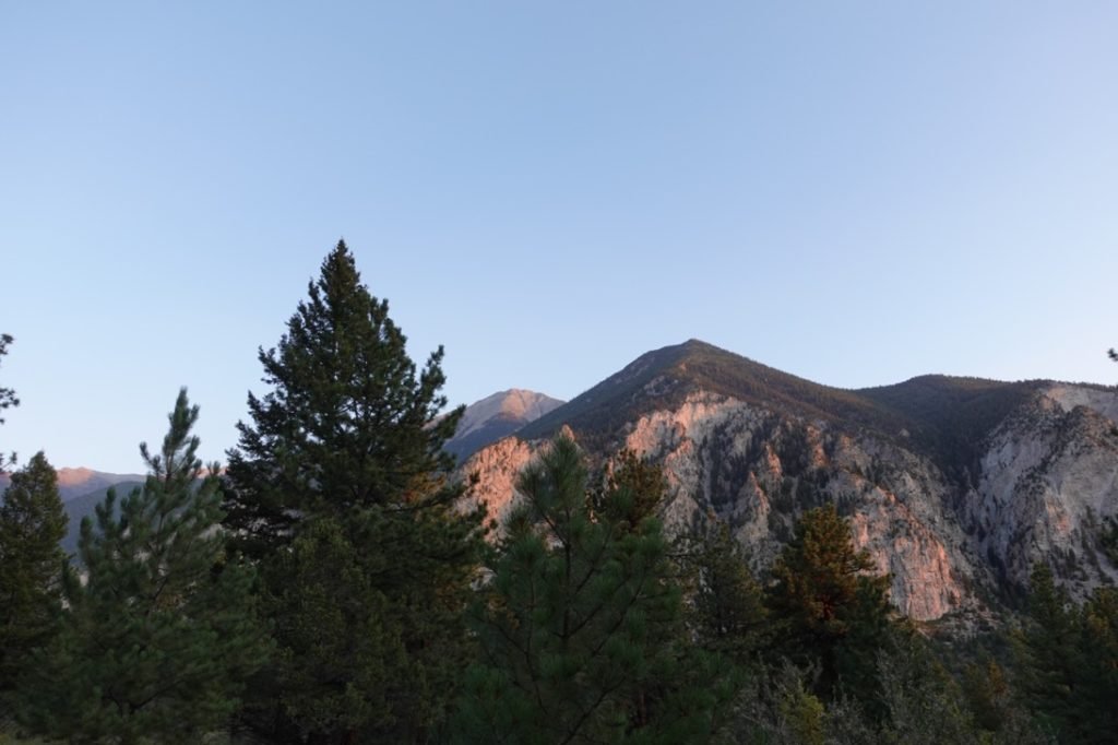
As I drove down to the Mt Princeton area, my worries about the weather proved to be correct. A lot of rain, dark clouds, and some thunder over the area for the entire morning. Fortunately, the weather cleared up in the afternoon to allow me to relax and soak in the hot springs.
I double checked all my equipment to make sure it was ready for the big trek. I packed 7 days of food (which could be stretched to 8 days if needed). I could probably go from Chalk Creek Trailhead to Monarch Pass in 4-5 days, but with the side day hikes up Mt Antero, Mt Shavano, and Tabeguaghe Peak it would take me longer for that section of the Colorado Trail.
Since the first segment of the CT I would have to hike was only a little over 6 miles to the junction with the Mt Antero trail, I didn’t have to rush in the morning. So I took one last shower, had a nice breakfast, and drove to the Chalk Creek Trailhead. I parked my Jeep in the overflow lot so it was a little out of sight.
This portion of trail was a little light on water sources, so I started with a full 3 liters of water. A little heavy, but this section wasn’t that long or steep.
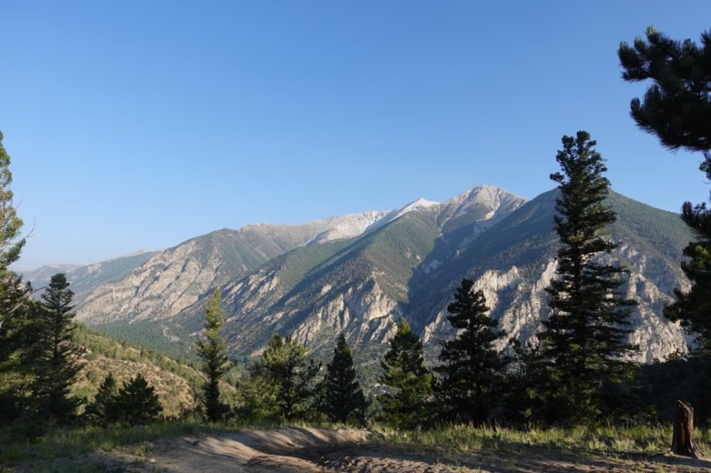
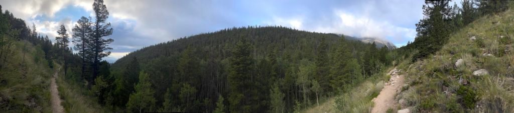
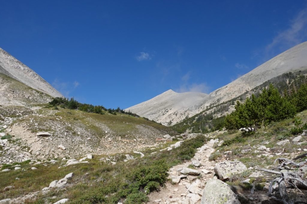
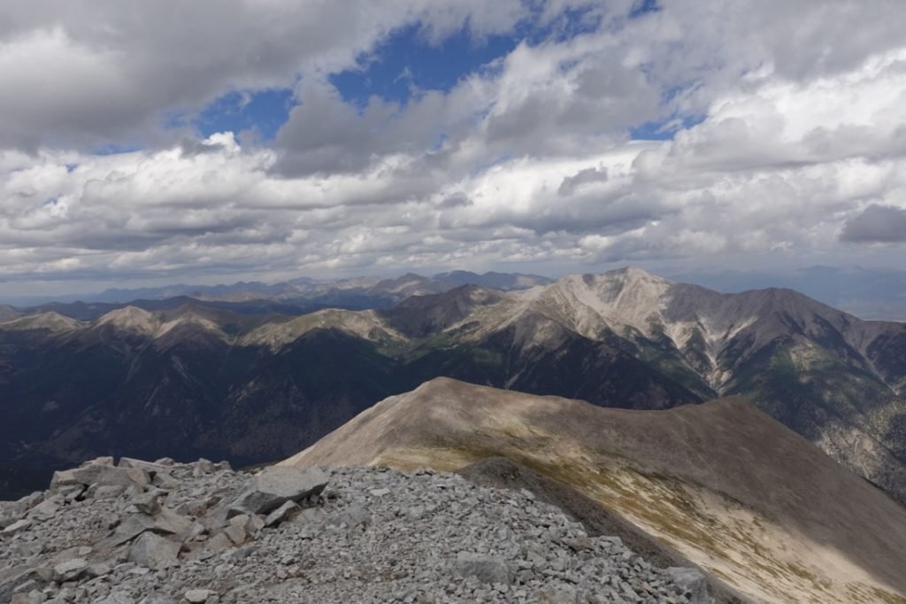
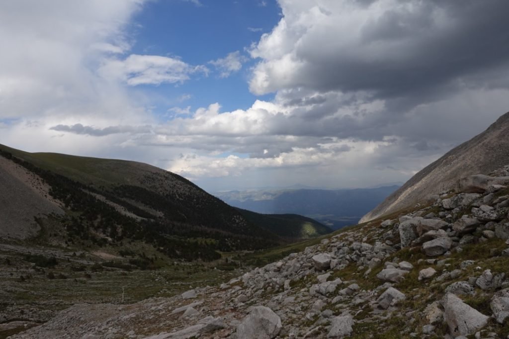
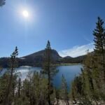
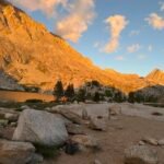
Or so I thought. The trail started by climbing almost 1,000 feet over the first mile before leveling off for the next 3 miles. Once that initial climb was over, I took a break, then continued. There were some nice views along the way and I took my time since I was in no rush.

When I reached the Little Browns Creek Trail that would lead to the summit for Mt Antero, I looked around for a good campsite. I could head up the trail towards Mt Antero to get a head start on the climb the next day, but that trail started with a climb up a canyon that I didn’t feel like climbing with a full pack.
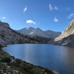
I ended finding up a little flat area about a quarter mile south on the Colorado Trail to setup my tent. I did have to go further south on the CT to get some water for cooking and for the next day, but it was only about a half mile round trip and I didn’t have to take my full pack.
After a nice re-hydrated dinner, I went to bed.
I got up, had breakfast, and packed my day pack before heading up the Little Browns Creek Trail towards Mt Antero. Based on the distance, I brought my water filter with me so I could resupply as needed on the trail.
On the way up the canyon I did see some nice sites to camp, so filled that information away for the future in case that I was crazy enough to try these hikes again sometime (I was).
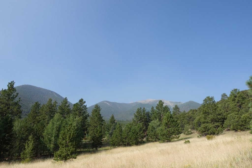
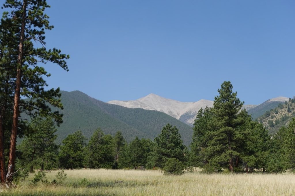
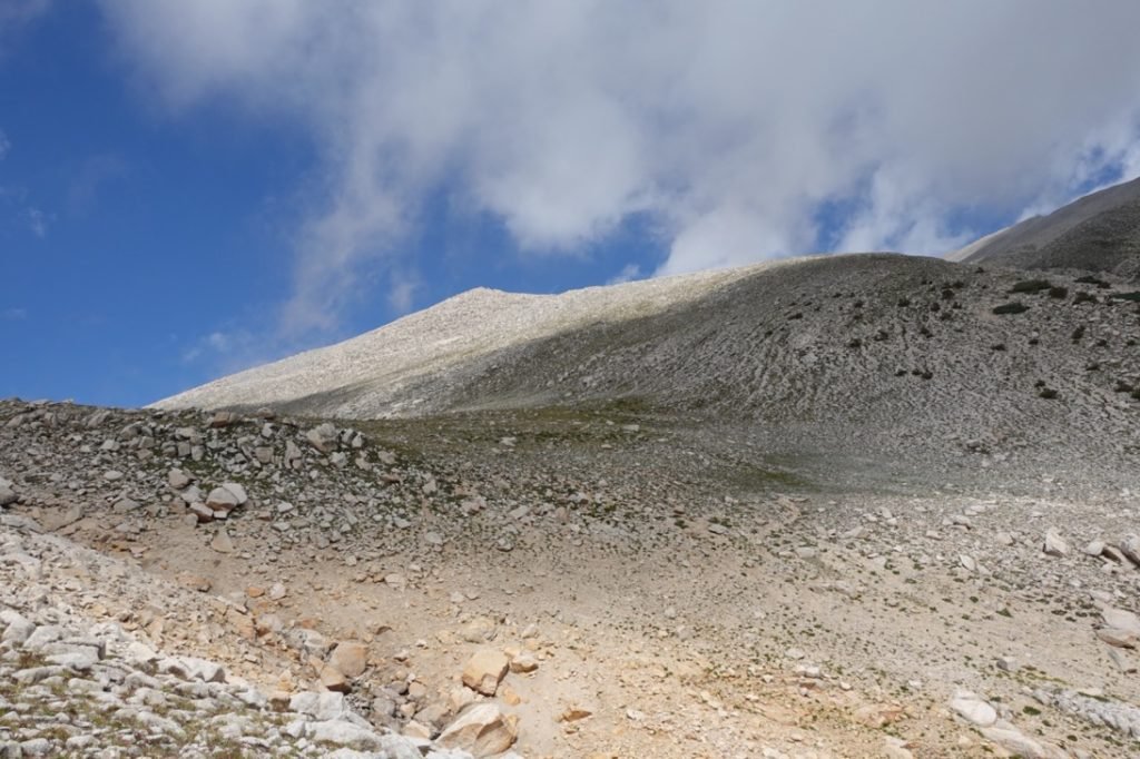
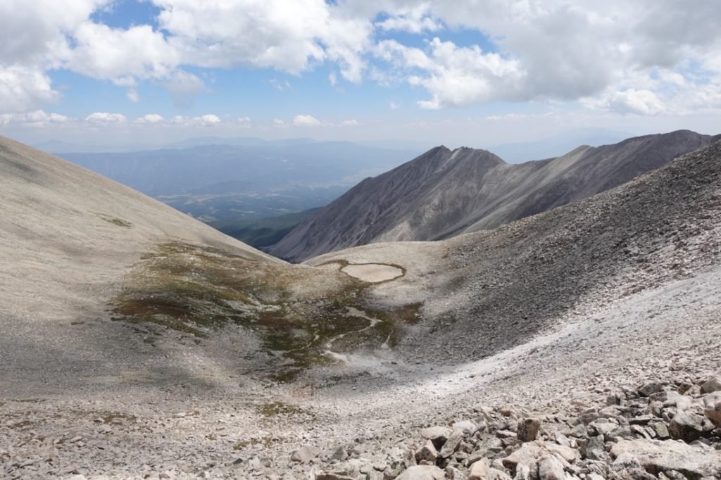
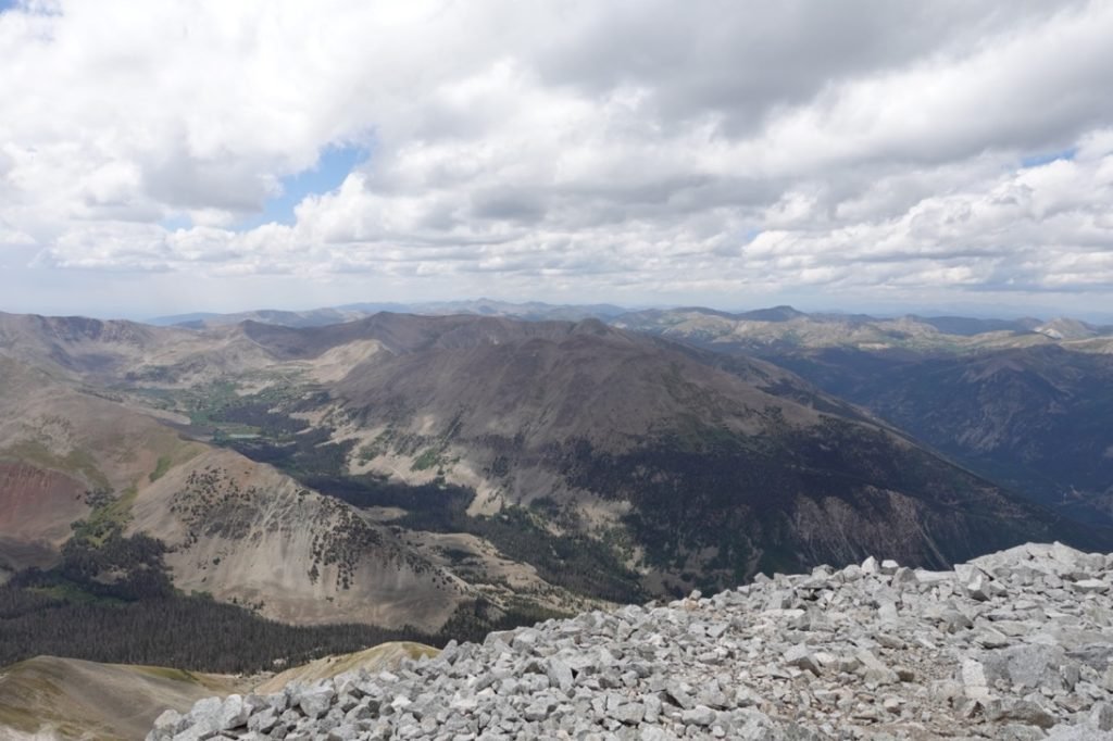
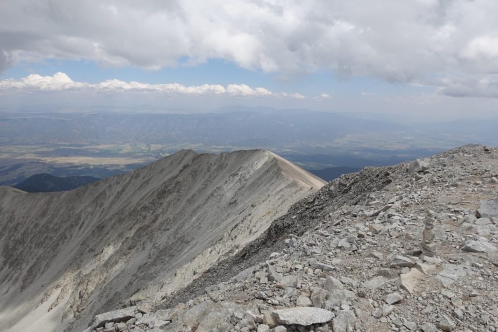
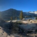
As I climbed higher the trees started to thin out and I could see where the trail was taking me. At first, I could only see Mt White to my left (a ranked 13er that some trail guides recommended climbing along with Mt Antero), but before long I started to see the southern slopes that lead up to Mt Antero’s summit.

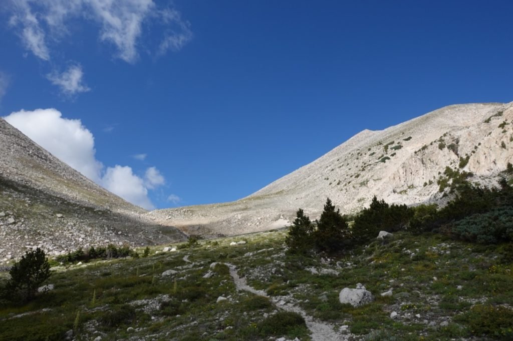
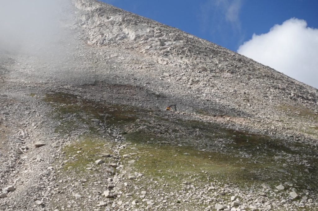
I couldn’t see the actual summit yet and in fact I wouldn’t see it until the very end of the hike. When I thought I heard thunder, I looked around and it turned out to be a excavator working up on the slopes of Mt White. This area had a lot of mining claims and activity.
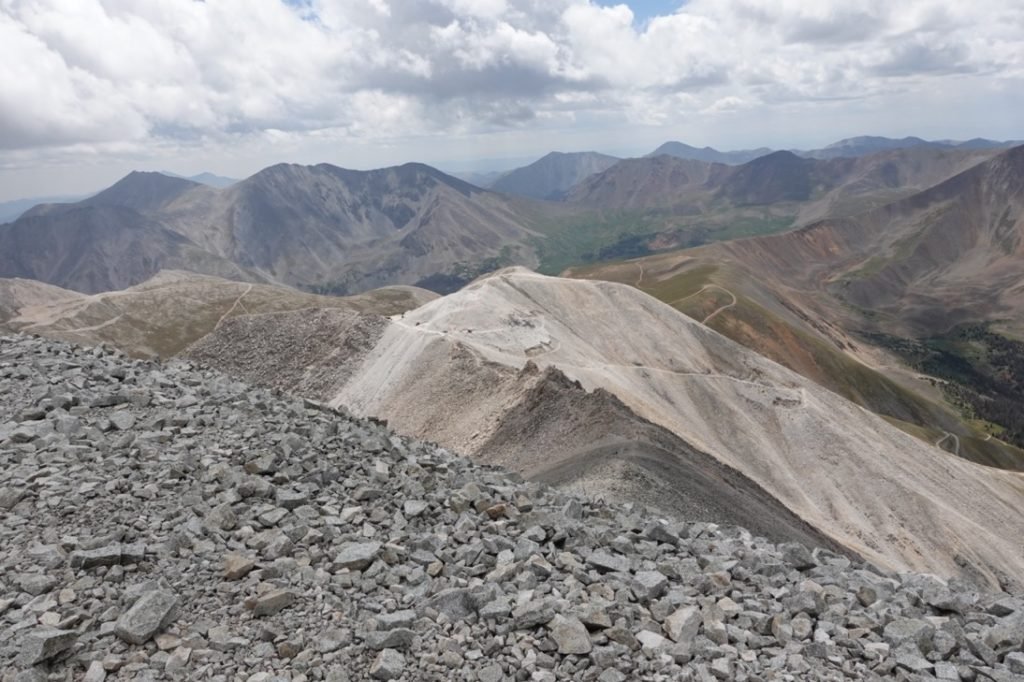
As I got nearer the saddle between Mt White and Mt Antero, I saw evidence of the 4WD roads that crisscrossed the north side of the mountain. They were mostly there for mining activities, past and current. One option when climbing Mt Antero is to drive a high clearance 4×4 vehicle (like my Jeep) up these 4WD roads and then climb over to the summit. But that kind of defeats the purpose of climbing 14ers myself.
If I drove my Jeep mostly to the top before hiking a short distance to the summit, I couldn’t honestly say I climbed that 14er. Like I listed Mt Evans and Pikes Peak as ‘conquered’ by my Jeep on paved roads to the summits in 2018, I couldn’t use these 4WD roads to take a shortcut to the top of Mt Antero and still say *I* conquered them.
My feet and legs would have been okay with the shortcut. 🙂

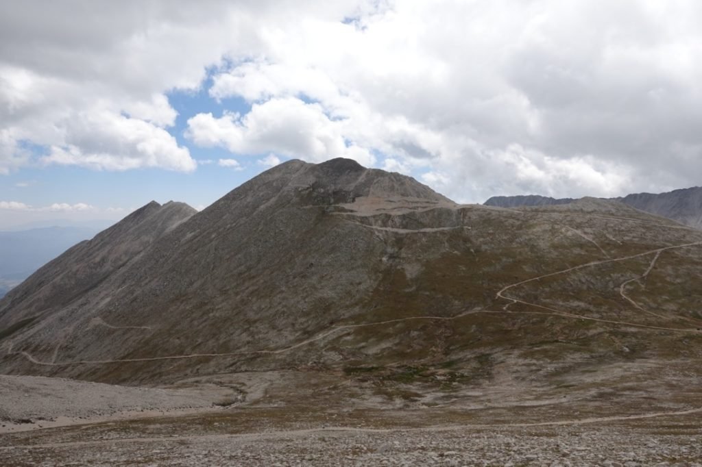

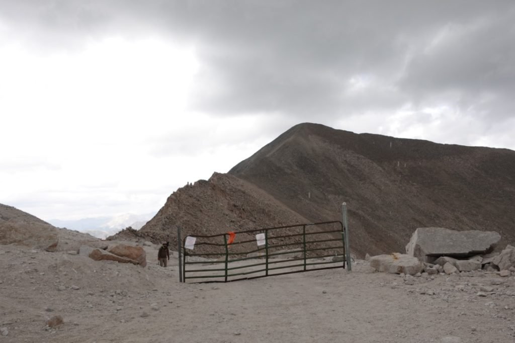
Putting those thoughts aside, I continued upward and upward. As I neared the last set of 4WD road switchbacks, the hiking trail merged with the road until it reached a gate. It kind of bugged me to be passed by 4×4 vehicles, but I knew I wanted to do this with my own two feet. Didn’t stop me from having the urge to put out my thumb to hitch a ride. 🙂


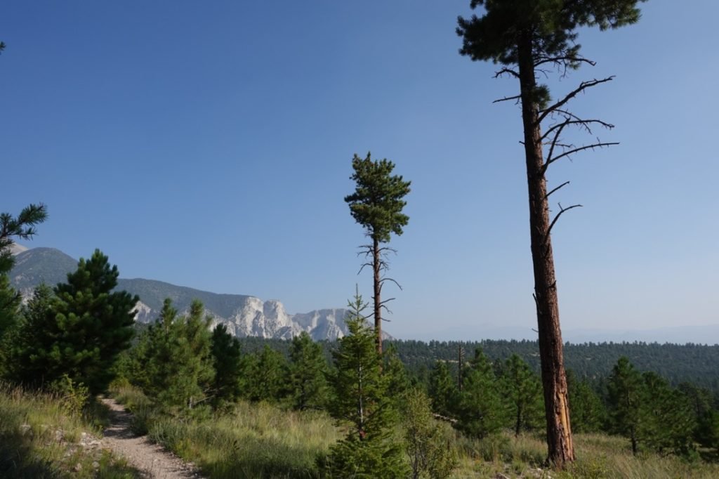
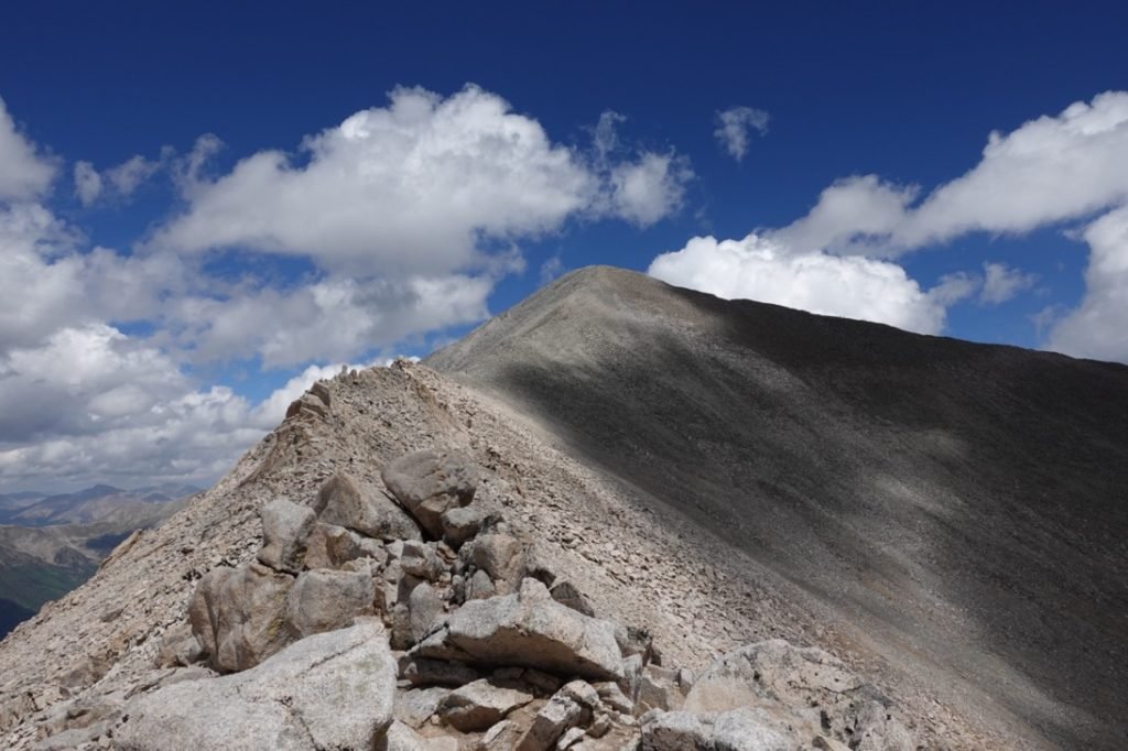
I resisted those urges and reached the gate that blocked the public 4WD road and trail from private mining roads. That’s when I first saw the summit of Mt Antero.
I ran though a bunch of swear words and my soul dropped out of my body.
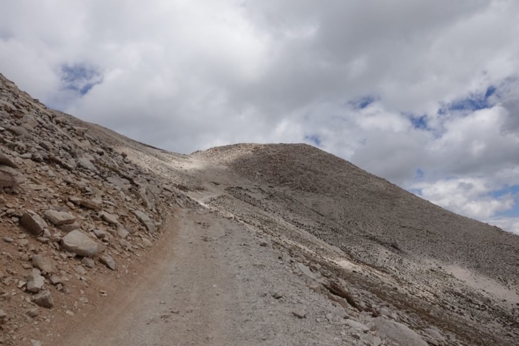
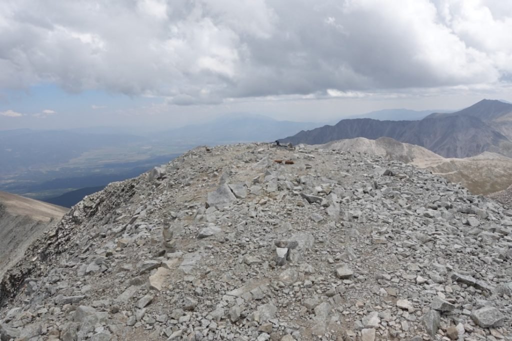
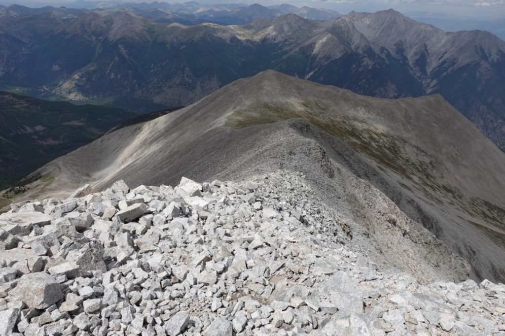
It wasn’t a lot of elevation to climb at that point, but it was definitely a nasty looking ridge that I’d have to traverse before hitting the summit dome that seemed to be nothing but loose rocks and scree.
Oh, what fun.

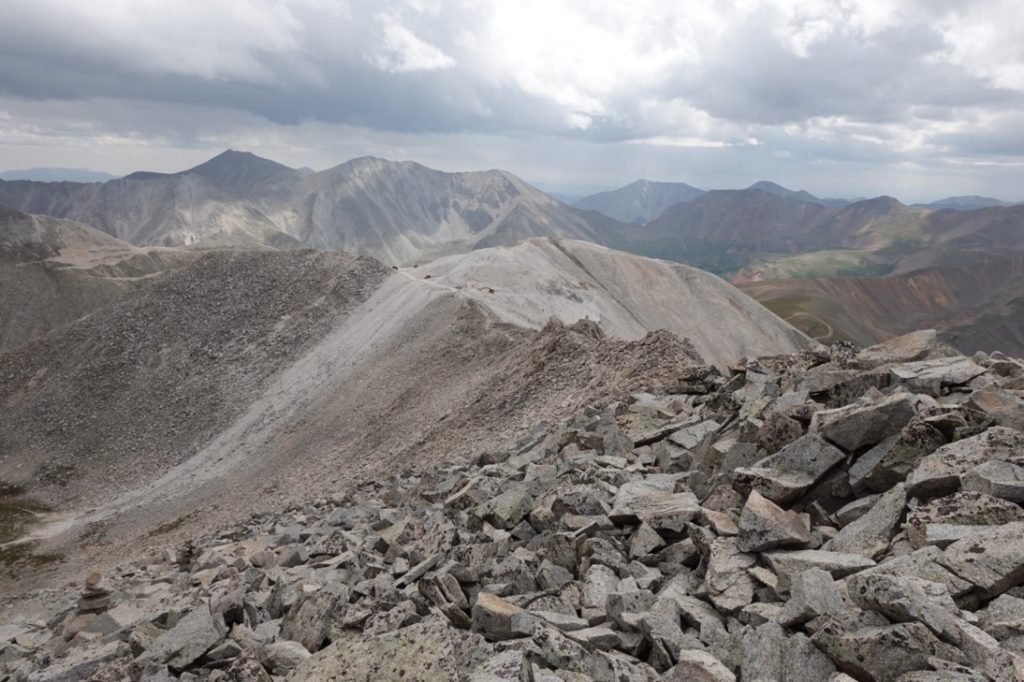
Fortunately, the gate wasn’t there to stop hikers, just vehicles. So, putting aside my exhaustion, I started across the ridge towards the summit. It was slow going with a lot of different routes that seemed to be the right one to take. Not all of them were. 🙂
You’d think after I finished crossing the rocky ridge I’d be happy, but the dome of loose rocks and scree that made up the summit did not look any more inviting up close.
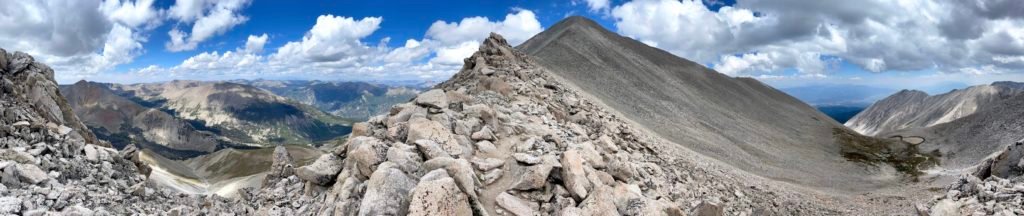
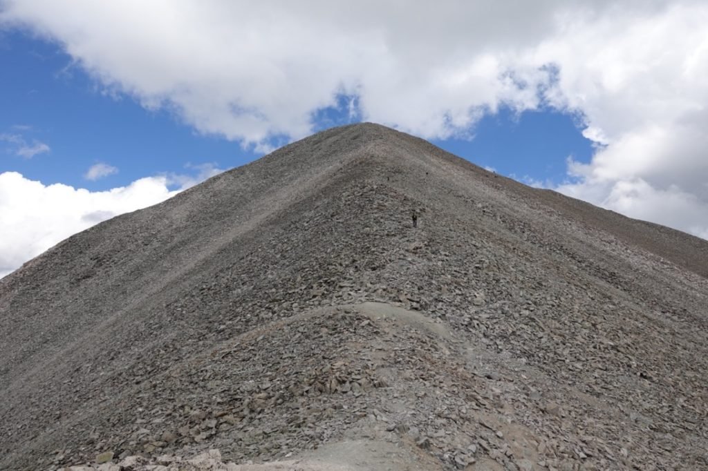
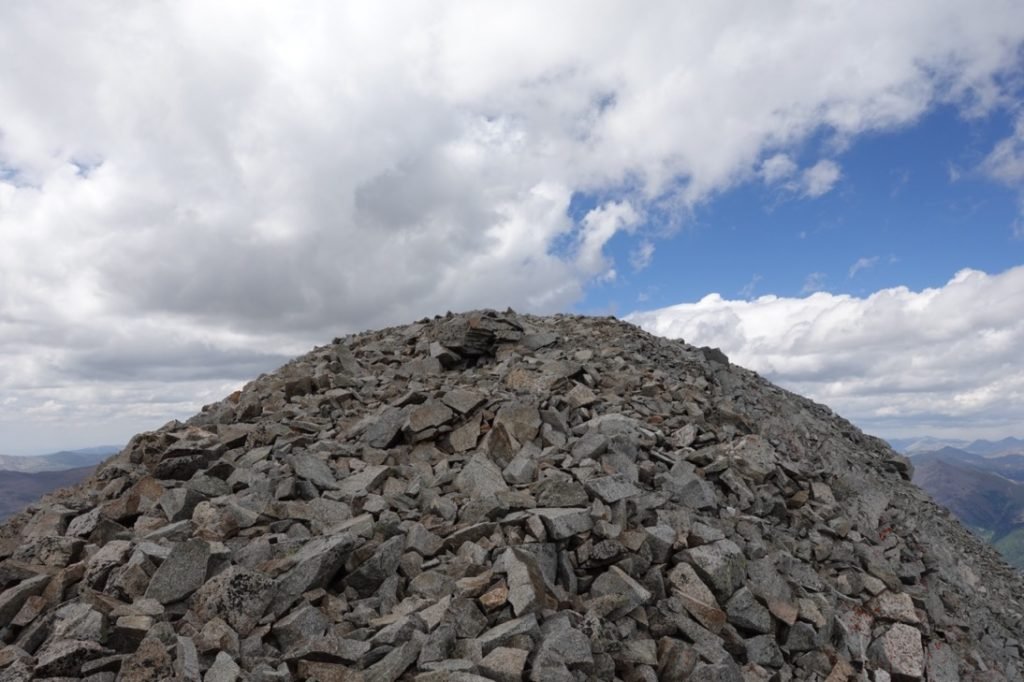
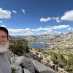
It took a long time to cross both the ridge and scramble to the top of the summit, but I reached it!!
Mt Antero 14,269 feet!! My twelfth Colorado 14er overall and fourth for this trip.

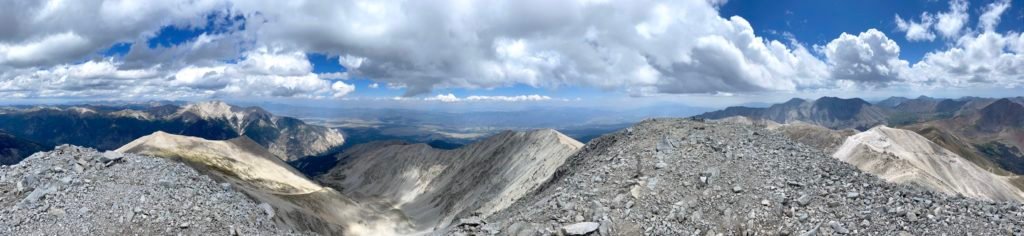
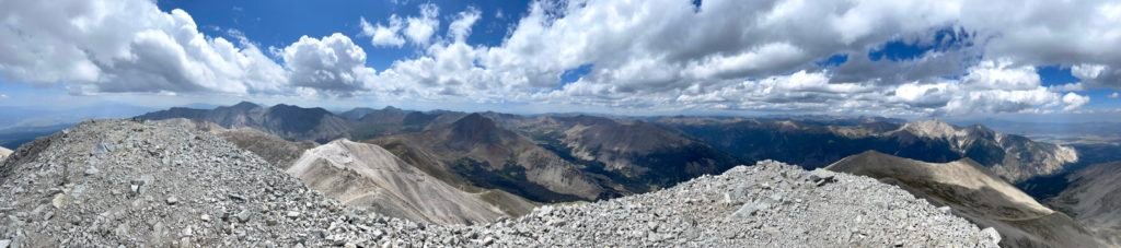
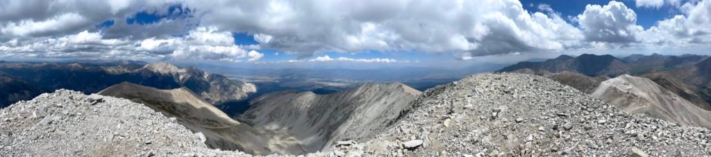
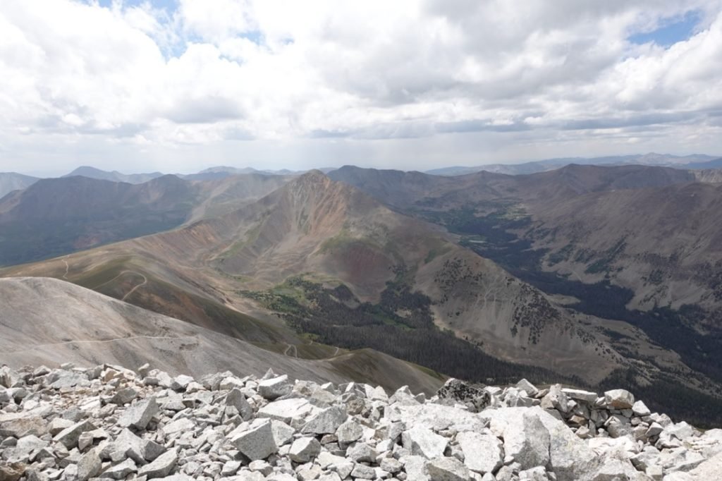
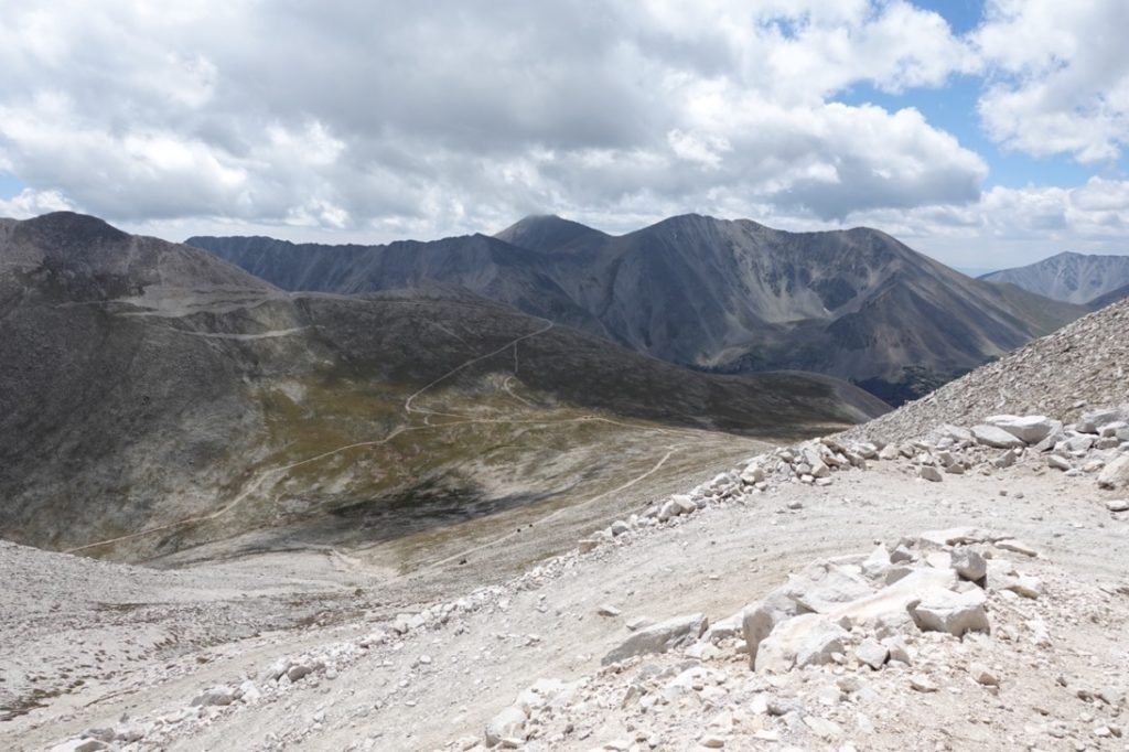
Exhausted, I collapsed on the top and took a long break and lunch while taking in the glorious views.
After the challenge of traversing that ridge and the final scramble up to the summit, I had a little more respect for the people who drove most of the way to the top only to be confronted at that horrible route to get the to summit.
I still felt a bigger accomplishment by hiking all the way from the Colorado Trail to the summit using my own two feet.
After resting a bit, I had to start back down. The traverse back to the gate wasn’t any better on the way back since it was pretty level, so was as bad in one direction as it was in the other direction.
As I finished that horrible section and passed the gate, it started to hail.
Yes, more hail at 14k. What fun. 🙂
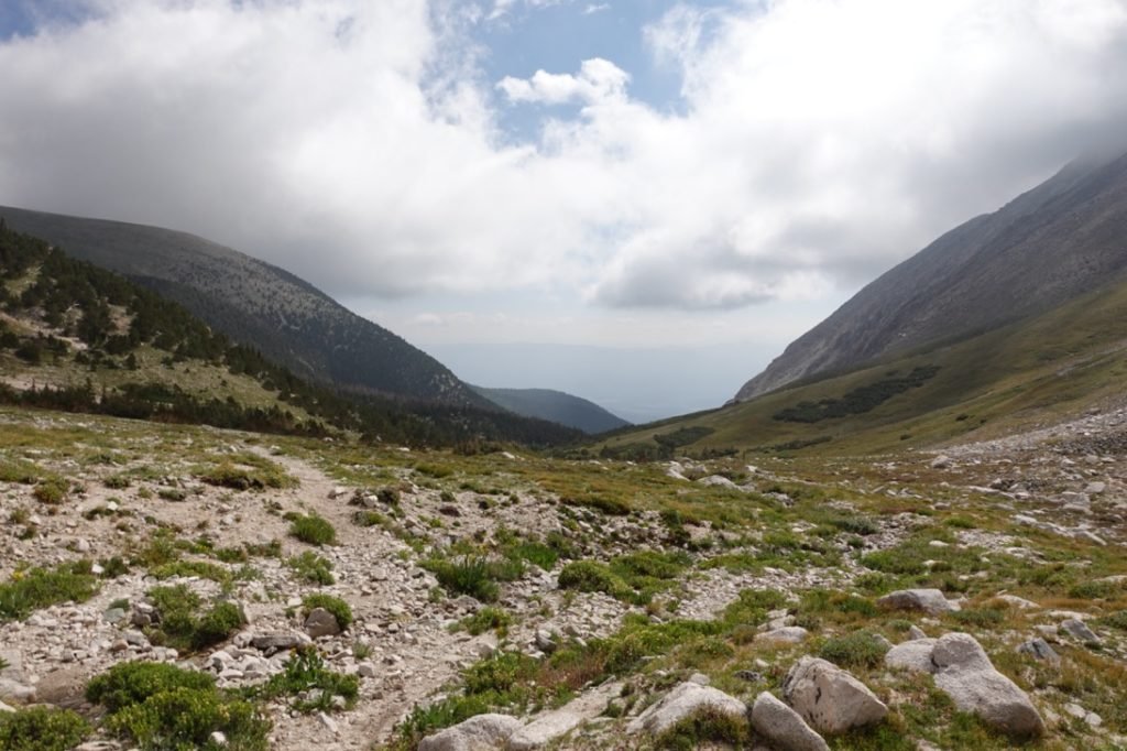
No thunder and the clouds weren’t that menacing, but I did make my way down with some urgency. Fortunately, the hail didn’t last long and I may have a had a few brief rain showers of no consequence on the rest of the way down, but it was still a long way back to my camp. I did make use of my water filter to top off my Camelbak on the way down. Not just for the last couple of miles of hiking, but also for cooking back at camp to save me having to do another water run when I got back to camp.
It ended up taking me a long time to make it back down and I didn’t get back to my tent until right around sunset. Since I didn’t have my headlamp with me I had thought I might have to use my iPhone light to find my way back, but there was just enough light to find my way back without it.
Exhausted and having eaten all of my snacks along the way, I didn’t even feel like cooking dinner that night so I crawled into bed and went to sleep as soon as I could. While I had thought I might be able to break camp and head down the CT if I finished Antero early enough, there was no way that was happening after the long day I had just had. I guess that was wishful thinking during the planning on this trek.
My right knee didn’t bother me during the climb up and down from the summit, but ironically it hurt a little when I crawled into my sleeping bag. Better that than on the trail.
With success comes great rewards and great pain…


1 Pingback