
Goal for the Day: Benson Lake or Beyond
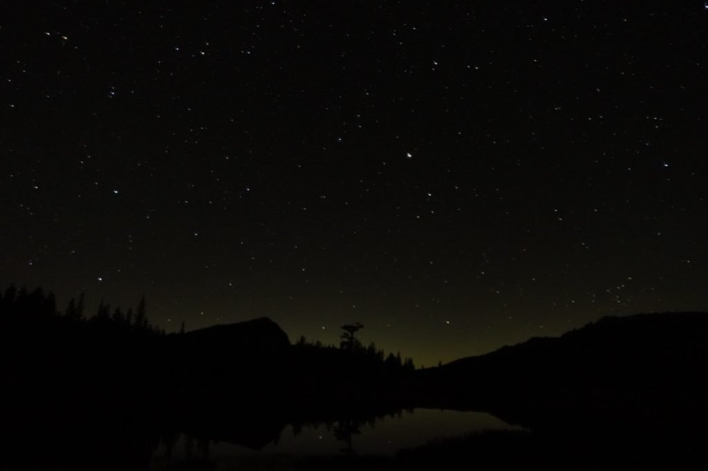
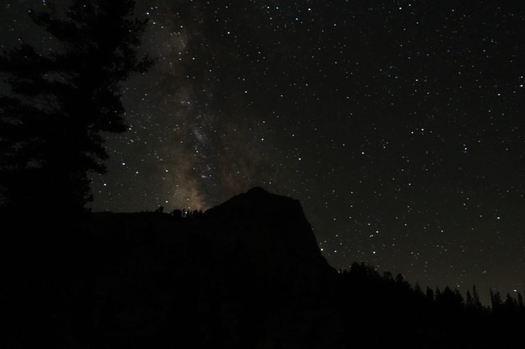
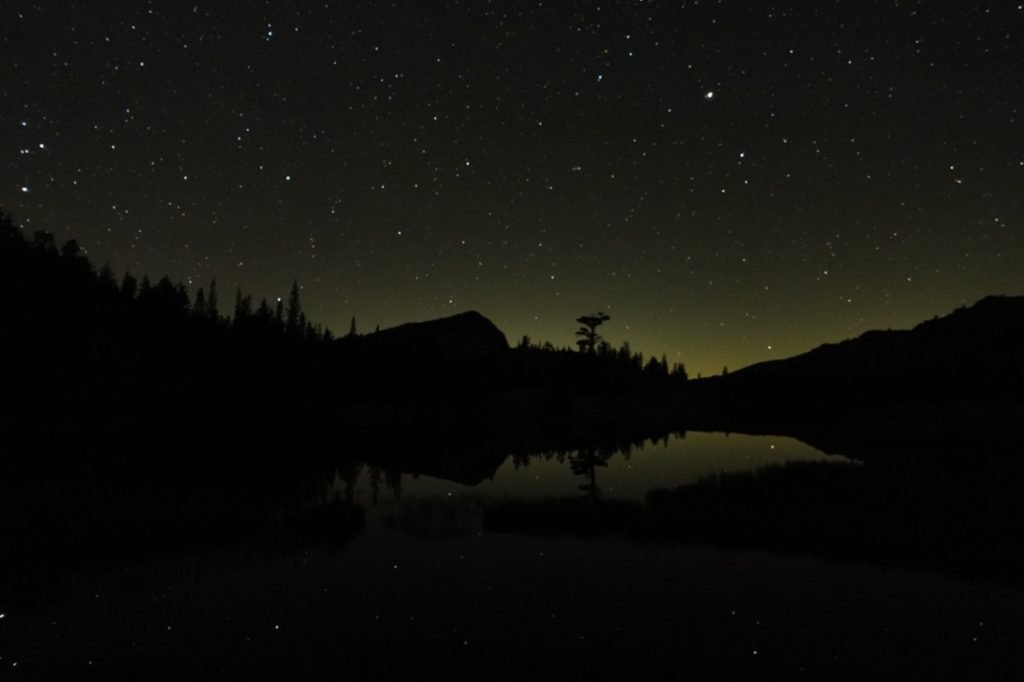
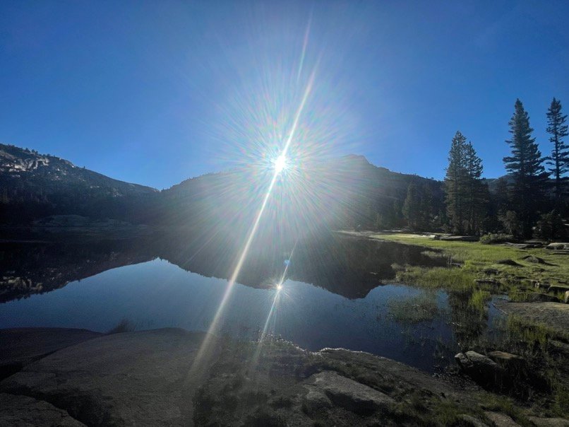
For me, the happiness of Day 5 started before the Sun even thought of rising to the east. I had a chance to take a bunch of long shutter photos of the stars and rock formations all around me. Very clear night for this and the Milky Way was particularly stunning that night.
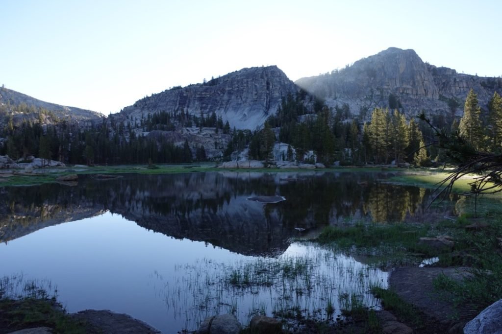
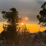
As sunrise approached, I enjoyed breakfast and started packing my gear. Then the light show started. Very nice show from where I had camped.
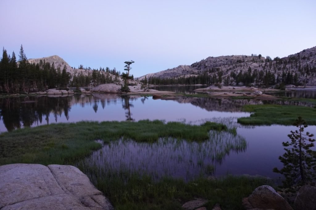

After that, I started heading west again, but the trail ran along the shore of the lake, so I had time to explore part of the lake I hadn’t seen the day before.
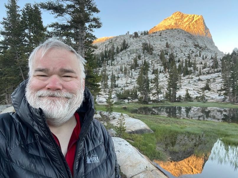
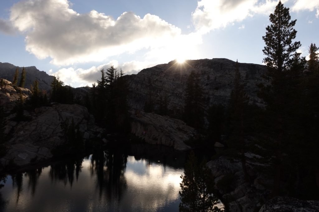
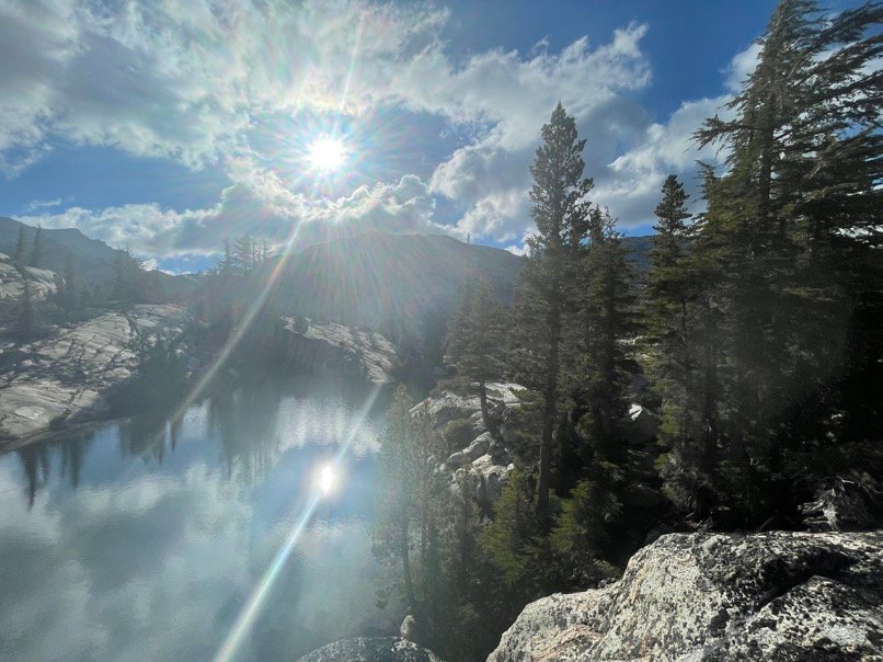
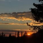
By chance, I glanced behind me and saw the Sun was about to peek out from behind one of the rock formations to the east.

Scrambling, I setup one of my cameras to catch a time lapse of the light show and enjoyed the unexpected entertainment. Sometimes, good things just happen on the trail.
As I left Smedberg Lake behind, I had to climb a little out of the basin the lake was in, then it was all downhill to Benson Lake…
I was right for the first part of the hike to Benson Lake. But just when I though it was all downhill, the trail started climbing upwards AND heading away from Benson Lake. I remembered the little jog in the trail from the maps, but somehow I never noticed that it started climbing instead of doing the sensible thing and descend somewhat straight down to Benson Lake. To make matters worse, I could see an obvious path down the rock formations that seemed to be a logical path for the trail.
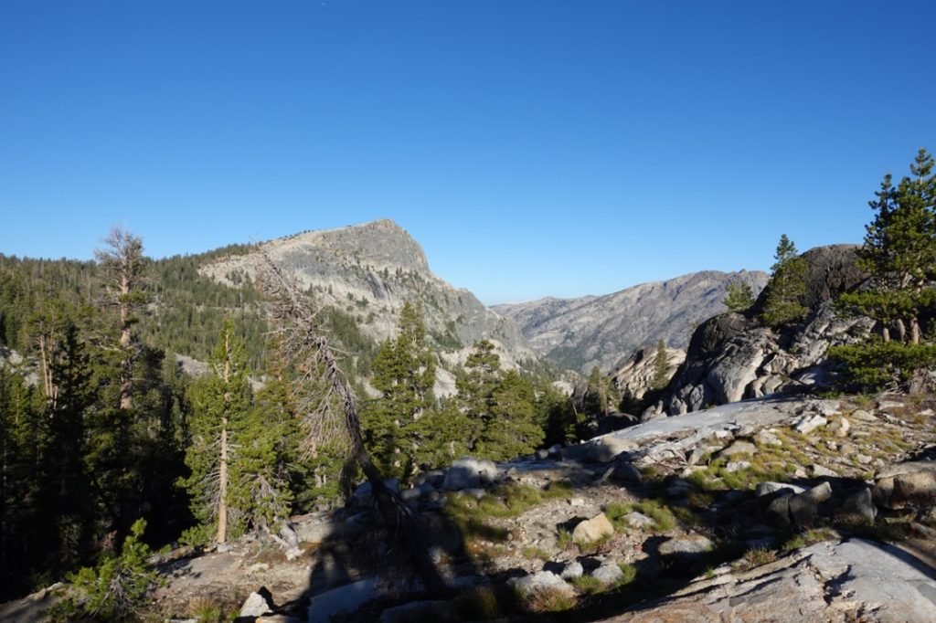
It’s possible the people who built the PCT wanted to use existing trails or the trail up to Rodgers Lake was done to make connections to two other trails in that area. That didn’t make me feel any better as I had to climb up that unexpected cliff side. The elevation profile shows it, but sometimes you miss seeing the little bumps and focus on the big bumps… like the big climb after Benson Lake.
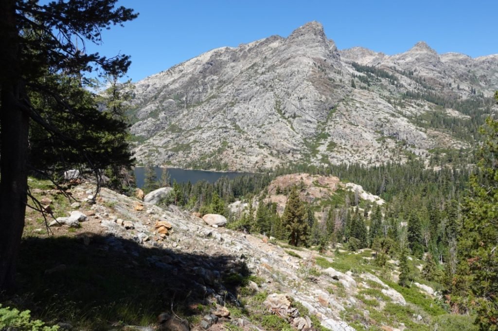
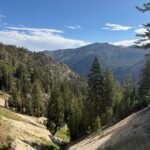
Having finished the climb, I passed the trails to Rodgers Lake and Canyon and finally began the real descent to Benson Lake. It was at this point when I knew I could have never gotten all the way down to Benson Lake the previous day. So stopping at Smedberg Lake was the right call.
As I descended, I started to see the reason the trail had to take the high detour. From this angle, it was fairly clear that the direct path down from Smedberg Lake ran into some very sheer cliffs and maybe impassible terrain. Sorry, trail makers, I guess you might have known what you were doing after all.

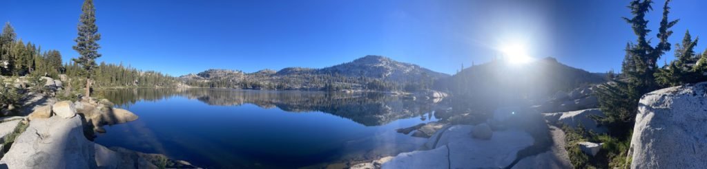
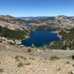
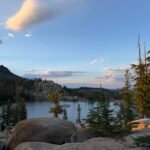
Benson Lake finally came into view. It was nestled at the junction of 4 canyons, with 3 of those funneling creeks into Benson Lake. Which explained it’s size. It’s one of the biggest lakes in Yosemite.

I stopped at a creek to fill up on some water and had to decide what to do. Part of me wanted to stop at Benson Lake and enjoy it, but it was barely past Noon. Stopping would put me a day behind my schedule and I knew I still had a long way to go. If I could get up and beyond Seavey Pass, I’d only be a half day behind.
But that was more climbing. 🙂
They said that this segment of the PCT (Tuolumne Meadows to Sonora Pass) was the hardest. Now I was starting to believe it. On paper, one section of the John Muir Trail/PCT that I hiked in 2020 looked harder (between Muir Pass and Glen Pass there were two more 12,000 foot passes and two big 2000 foot drops between them), but it was starting to look like this section of the PCT lived up to it’s reputation.
With the number of hikers and even two Yosemite rangers heading to Benson Lake for the night, I decided it might be too crowded at the lake. I even got passed by a mule pack train that was bringing the ranger’s gear to the lake.
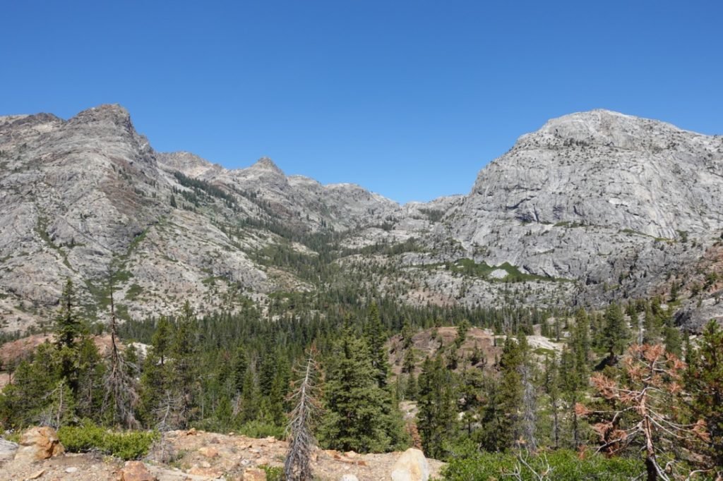
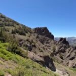
So, despite the steep climb up to Seavey Pass that I could clearly see snaking up a crevasse between two domes, I decided to continue.
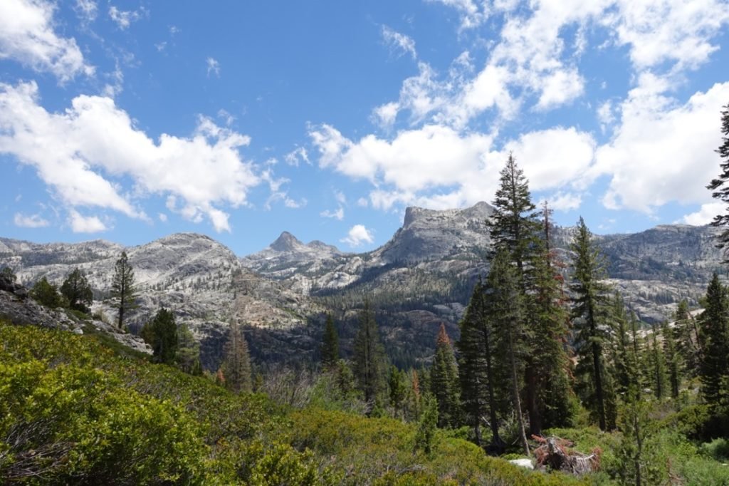
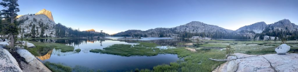
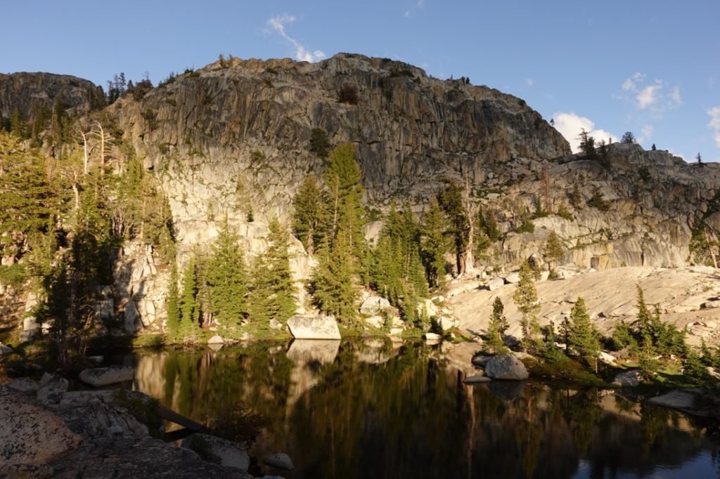
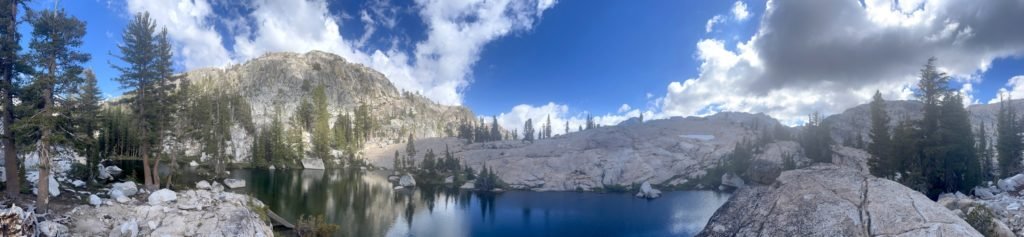
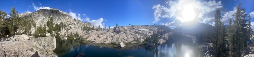
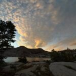
It took me a while, but as I reached the top of Seavey Pass I celebrated making it up. I ended up stopping at one of the small lakes around the top of the pass.
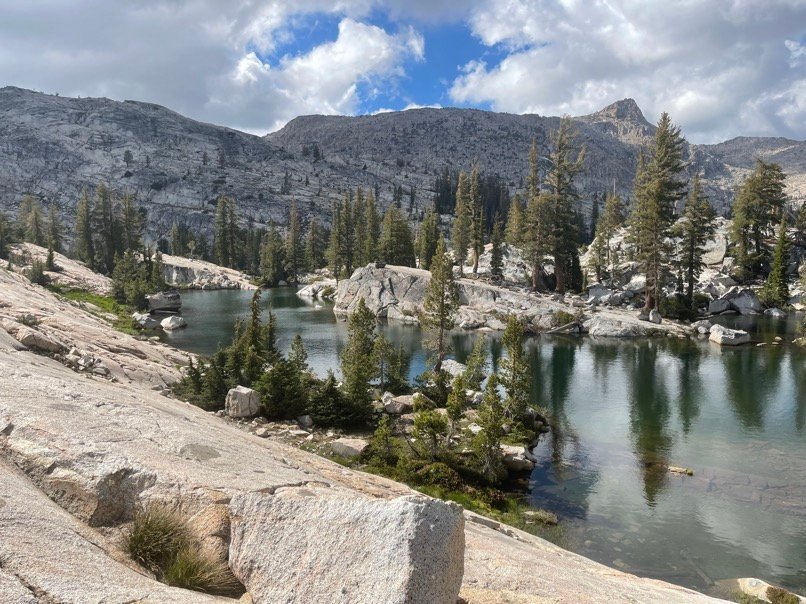
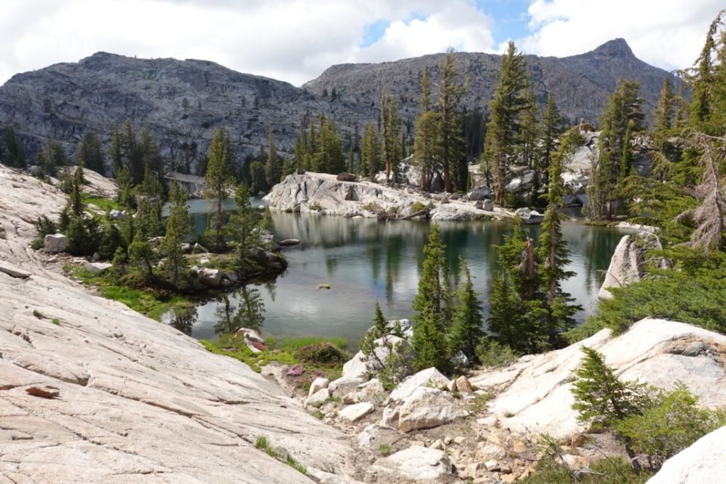
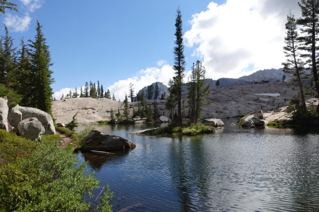
It might not be Benson Lake, but it seemed to have a great view around it and I found a rock outcropping on the far side of the lake that seemed to be a perfect camping spot for me. While I could see hikers passing the lake along the PCT on the far side, I ended up having the lake to myself all night.
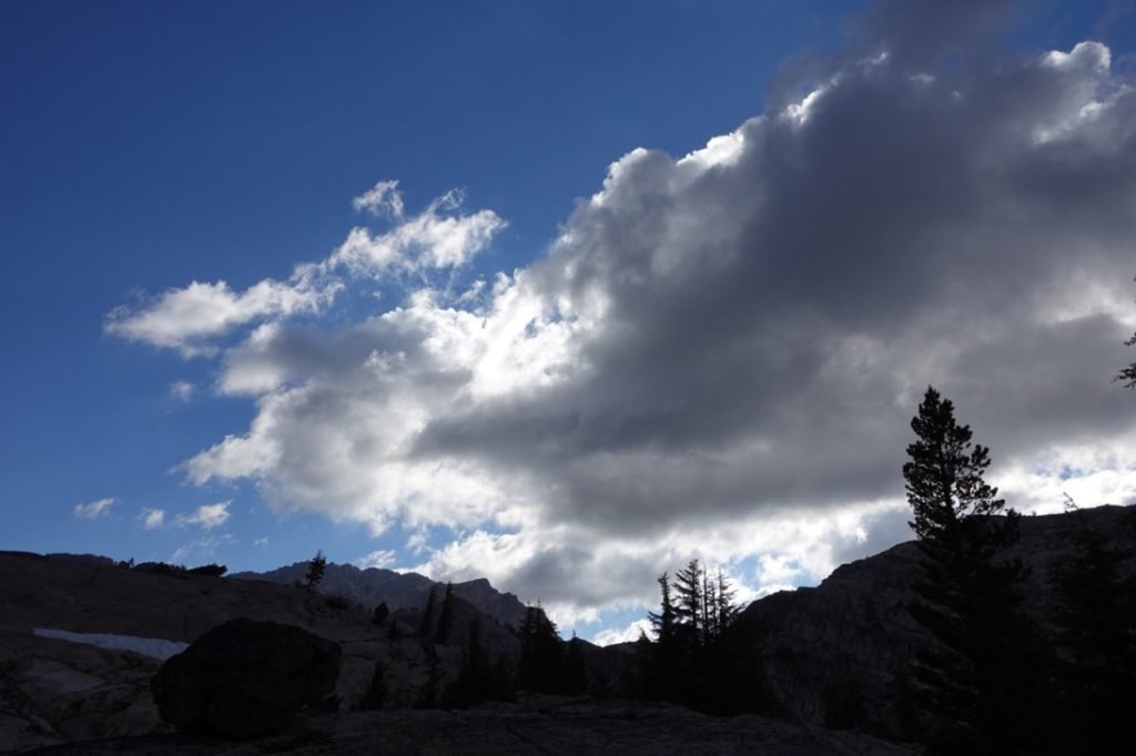
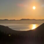
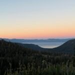
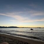
The sunset was pretty spectacular too.
It was a great way to cap off the hard day.
Goal achieved!!
8.5 miles
9.5 hours on trail
39 miles total for entire trek


1 Pingback