
Goal for the day: A creek before the Wet Meadows/Blue Lakes area
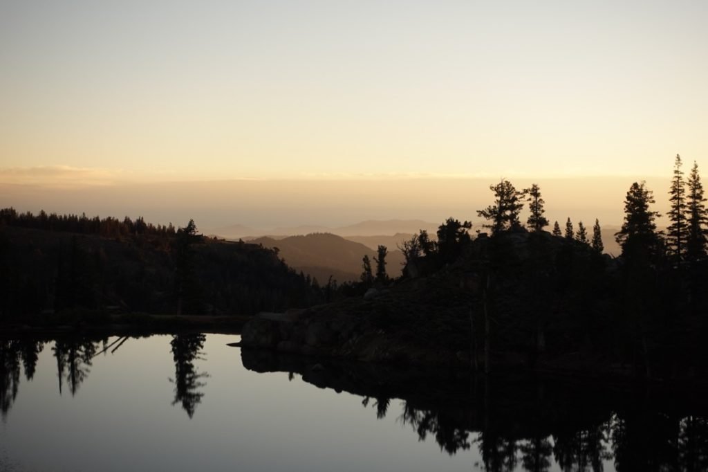
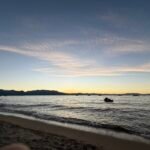
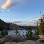
Fortunately, the rain trailed off before night took hold, so I had a pretty nice night. Even had the chance to take some long shutter pictures of the stars over the lake.


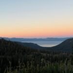
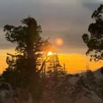
I ate breakfast as the sun came up and dazzled me with a light show. A great way to start the day.


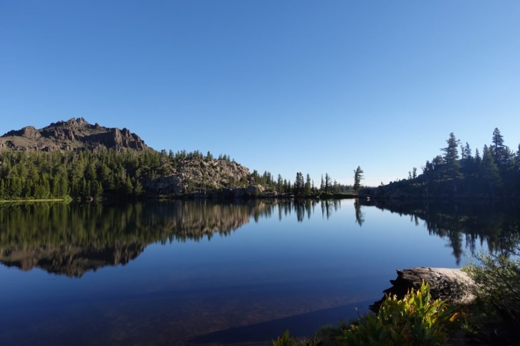
After packing my tent up, I had to get some water from the lake shore that the rain the previous evening had prevented me from doing. I didn’t expect much water along the trail until Pennsylvania Creek, so got about 2 liters before testing the water’s temperature.
At which point I resisted the temptation to take a swim, despite really needing a good washing. Sierra lakes are usually very cold, so morning swims tend to be very cold without the afternoon sun to warm you and the water up. Despite what Klay Thompson says, I don’t enjoy a freezing swim first thing in the morning.

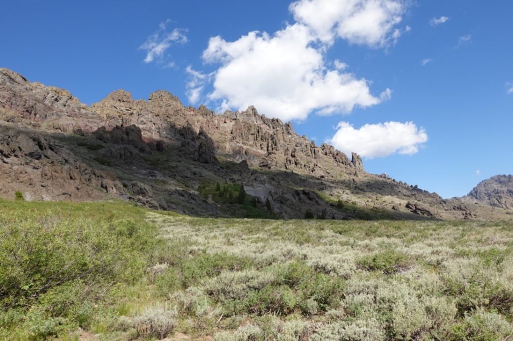
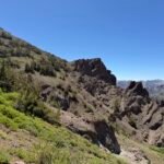
The terrain quickly turned into the rocky volcanic terrain that I had briefly crossed the prior day. Very unique and a nice change of pace from forests and the more typical gray and white granite you found a lot in the Sierra Nevadas.


As expected, there were no major sources of water until Pennsylvania creek besides a couple of very slow trickles. I refilled my Camelbak and continued onward. I cautioned a few southbound hikers that Pennsylvania Creek was the last major water source before Kinney Lakes.
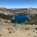
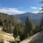
I passed the trail to Raymond Lake, but ignored it since I didn’t want the extra 1.5 mile round trip added to my trek and the 400 feet to climb up to the lake was also not very attractive. As I started down towards Raymond Creek, I started to doubt I could make it far beyond that point.
Part of that doubt was fueled by the sight of the large number of switchbacks tracing their way up the high cliff side on the other side of the canyon I was descending.
The switchbacks I was descending weren’t that bad, but by the look of the other switchbacks, I had a long way to descend before I had to start climbing back up those particular switchbacks.

I’m used to needing to descend and climb switchbacks during my hikes and had expected the switchbacks I was descending, but when I saw the other switchbacks across the canyon despair grew in my heart.
I pretty much knew I couldn’t continue up that tall set of switchbacks to the next creek crossing where I could camp, so expected to stop at Raymond Creek to camp at that point.
As I got closer to the creek, I checked and rechecked my maps and confirmed that the maps didn’t show those switchbacks on the other side. Just the ones I was descending.
When I saw the mostly horizontal trail on the other side leading from the creek, I finally realized that those switchbacks weren’t a part of the PCT trail. In fact, they weren’t shown on any map I checked. They were either an old route for the PCT or a connector trail that never was finished or was abandoned.
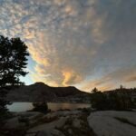
Although I was relieved at not having to descend further and the re-climbing up those annoying looking switchbacks, I reached the creek and still decided that I didn’t feel like continuing further. Partly it was because I was very tired and partly since the area had a bit of a view that would be nice to have for the night.
I found a campsite up between two creeks that merged below where the PCT crossed the creek. Having a bit of time left in the afternoon, I took the chance to bring some water from the creek to shampoo my hair and clean up. And wash my dirtiest clothing, of course. I hoped they would be dry before I woke up.
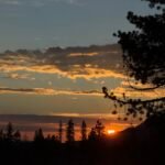
The sun set a bit early due to the tall cliffs on both side of me, but I did get some color before bedtime.


Came up a bit short of my original goal.
9 miles (8.5 miles on PCT)
9 hours on the trail
41.5 total miles hiked on this section of the PCT
33.5 miles to go until Echo Lake


1 Pingback