Goal for the Day: Somewhere before Carson Pass
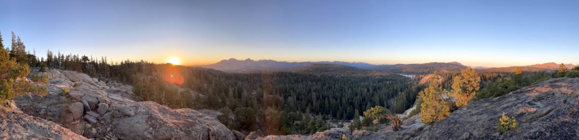
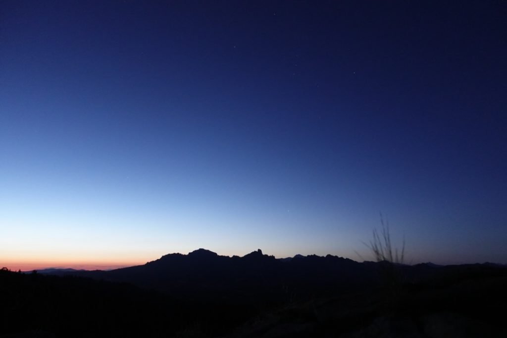
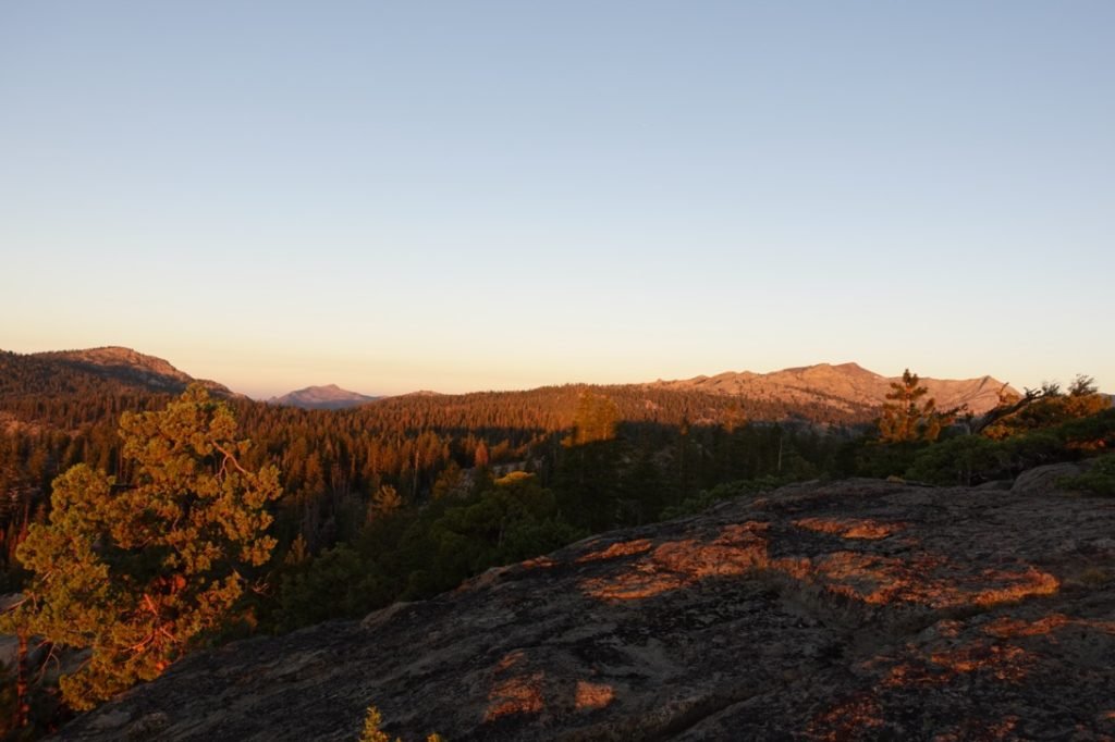
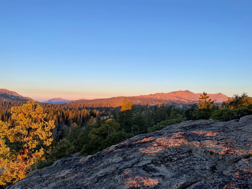
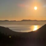
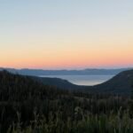
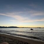
After a great night, I awoke to a great morning. From the initial glow of the sun peaking over the eastern mountains:

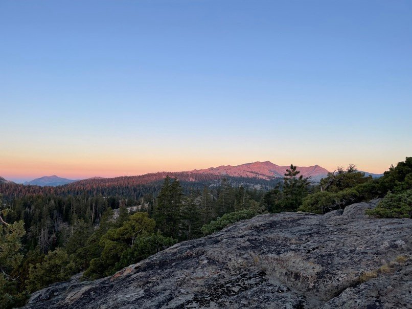
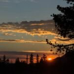
To the first splash of light against the mountains to the west:
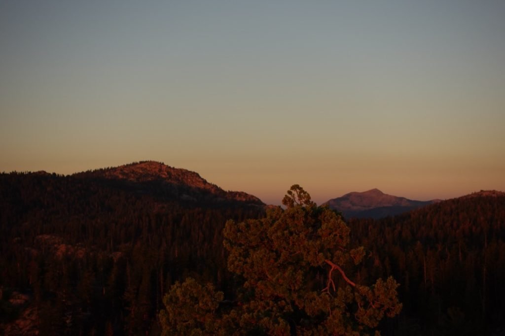
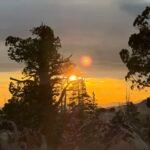
To the first glimpse of the sun:

The morning’s sunrise was a great way to start the day. I’m glad I didn’t make it to Lost Lakes now.

After sunrise, I packed my gear and then made my way back to the PCT and started heading north once again.
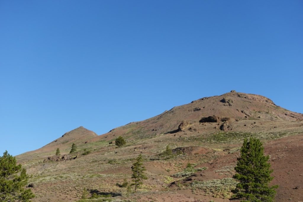
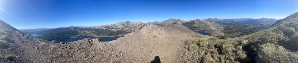
The maps showed that I’d be passing something called the ‘The Nipple’, but I never saw what they were referring to.

Really, I never saw a nipple on this part of the trail.
Honest.
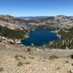
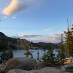
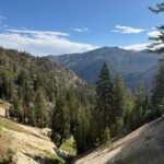
I got some more views of the Blue Lakes before finding the Lost Lakes tucked behind the mountain ridge I had been crossing that morning.
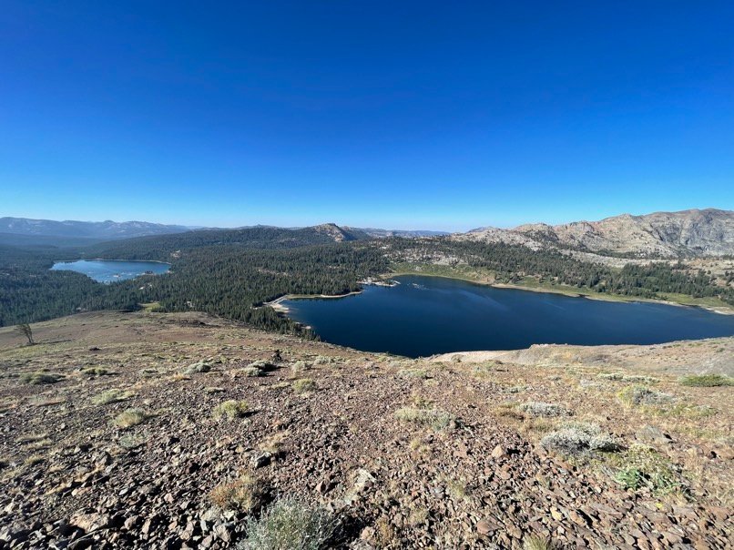
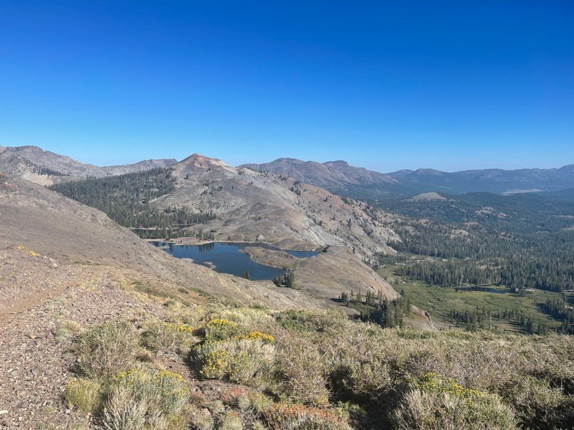
Lost Lakes was nice and may have been a good stopping point, but since it’s accessible from a Jeep trail, there were non-hikers around the lake and staying overnight might have been more of a party than an quiet evening.
I filled up my water first, then waded into the lake and took a nice long swim. It was very refreshing and enjoyable way to send some time in the middle of the day.
Since I now considered myself to be 2 days behind my original schedule, I knew I had to continue towards Carson Pass. I know I couldn’t make it to the pass and have enough daylight to hike up from the other side of the pass now, but I had to try to get as close as my legs would let me.
So, I headed back to the PCT and once again headed north. As I climbed up a gentle slopped trail, I was amazed at how quickly the environment changed from the wet, marshy area I had hiked through yesterday into the very arid terrain I now found myself in.
Not too soon after that, I realized I should have asked some of the car campers around the lake if they had any Diet Coke. 🙂
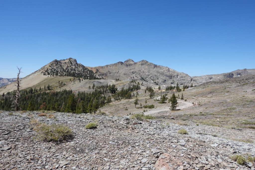
I crossed the Jeep trail near the crest of the PCT and thought to myself that I should try driving up this way in my Jeep sometime. There were a number of Jeep trails, including one that ran all the way north to highway 88. It might be worth a ride sometime.
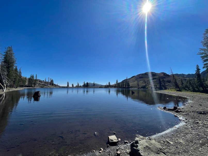
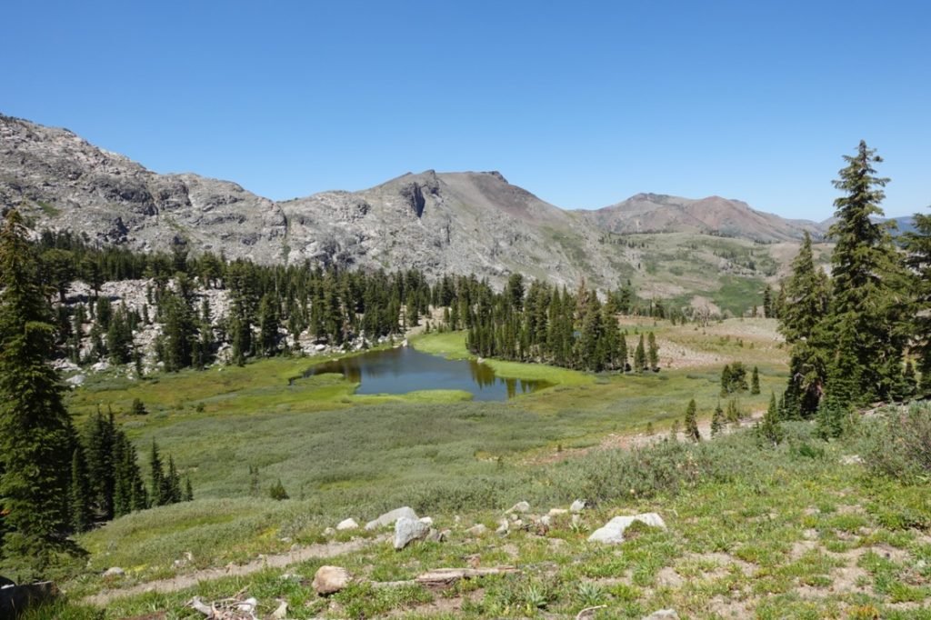
As I started a descent into another basin, I found it to be full of trees and other greenery. Several ponds and streams greeted me. I took time to refill my water to it’s full 3 liter capacity since I was uncertain where I’d be camping and what the water situation would be.
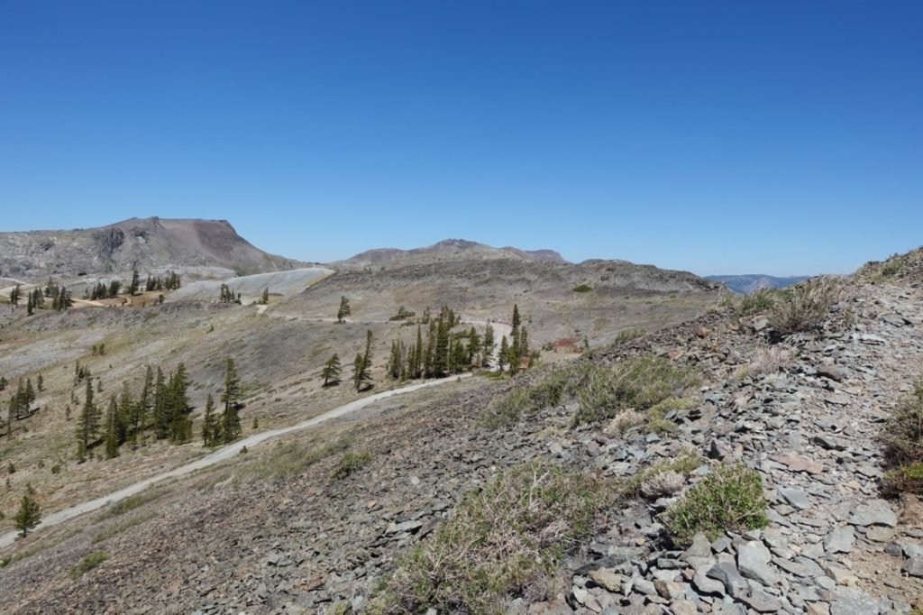
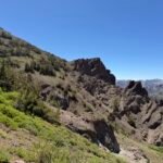
That’s when I saw what looked like switchbacks up a rock formation called ‘Elephants Back’. That didn’t look good. But as I got closer, I could see that the trail actually wound up a grass covered slope on the other side of the Elephants Back. That looked better. The ‘switchbacks’ I had seen were just a natural part of the rock formation.

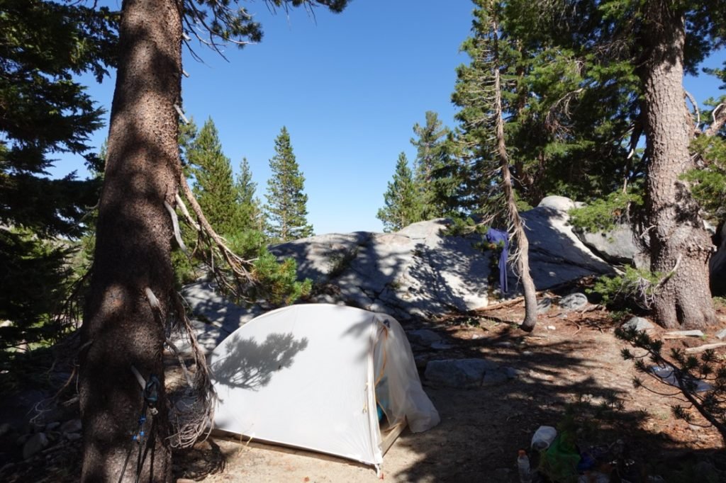
As I reached the last water source before the climb up, I surveyed the area and found a campsite. If I continued the climb up towards Carson Pass, there weren’t any campsites indicated on my maps before I reached a no camping zone that continued all the way down to the pass. I might find something, but my legs voted to stop for the day.
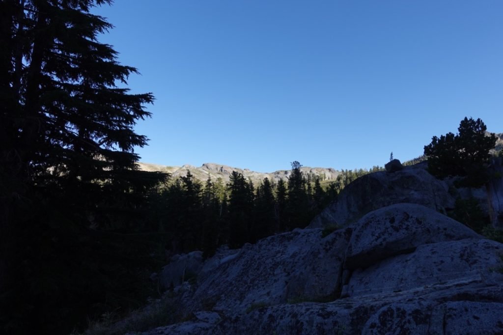
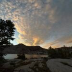
As I made that choice, I noticed a use trail behind the campsite near the trail. It lead to another small campsite with a big bolder that I could climb and get a good view of the area. That was a bonus, so I setup my tent, had dinner, and enjoyed some light at sunset. Although, I have to admit I was so tired I didn’t spend a lot of time that evening outside of the tent. I needed the rest.
Considering I was 2 days over my schedule and heading into the NINTH day of this particular trek, that was to be expected.
Goal achieved!! Granted, it was a pretty vague goal. 🙂
7 miles total hiked (6.5 miles on PCT)
7.5 hours on the trail
56 total miles hiked on this section of the PCT
19 miles to go until Echo Lake


1 Pingback