Goal for the day: Donner Pass and Summit
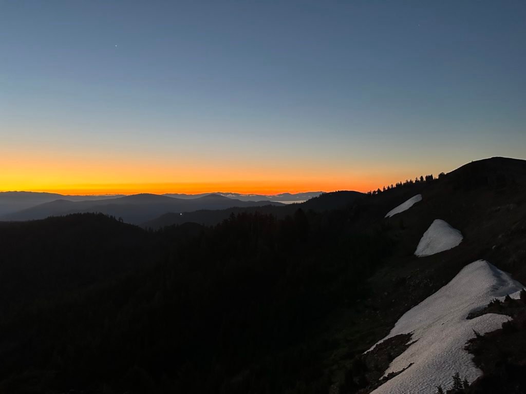
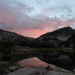
The skies were very clear overnight, so I had a good chance to take some pictures of the stars overnight. I would have taken more, but didn’t feel like getting out of the tent that much. 🙂


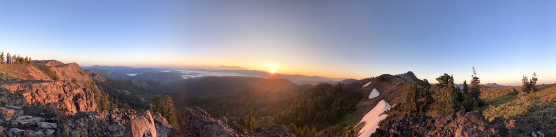
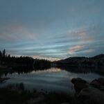
Since I couldn’t see the eastern sky from my tent site, I decided to take my baggie of granola and walk a hundred feet or so to the top of the ridge to see the sunrise from there while I had breakfast.
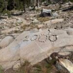
After taking a few pictures from the spot I’d chosen, there was enough light that I could see there was a little rock outcropping that would have an unobstructed view of the sunrise. So, I relocated and suddenly found a camping spot nearby that would have been a great spot to spend the night. Not quite as sheltered from the wind as the spot I had used, but may have been enough for what little wind there had been that night.
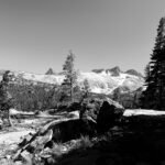
After scolding myself to look around a little more before settling on my campsites, I sat down and enjoyed the sunrise. It was easily the best sunrise of this hike.


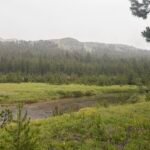
I couldn’t even see the town of Truckee below me, since the low lying valleys were covered by a think blanket of fog.


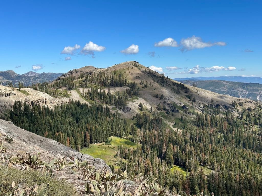
Then it was time to pack up my gear and head north. First, I had to circle around Anderson Peak. Nothing hard, just took time. As I passed the north side, I did get a peak at the Benson Hut tucked into the trees and also an antenna at the top.


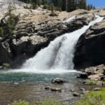
The rest of the hike had some great views, but enough ups and downs along the ridge that it seemed like I’d never reach civilization. I saw some of that as I passed by and then thru the Sugar Bowl ski area.
I also saw Roller Pass, which was the route that the Donner Party SHOULD have used. It was a place where they had to pull wagons up the side of a steep incline to get thru the Sierra Nevada mountains. I have to marvel at that being a route someone thought was a good way to go. It wouldn’t have been easy.
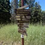
I continued and saw the goal in the far distance: Interstate 80 where it crosses Donner Summit.

But first I had to reach Donner Pass Road, which I did eventually and was very happy to take a break. I dumped my trash and anything else I didn’t need (extra food, gas canister, etc…) in a garbage can. I also had to decide what to do since there was still a three and a half mile section to go.
I could do a short hike along Donner Pass Road to get a real meal at a nearby ski lodge that still had it’s cafe open in the summer. There was also a newly refurbished ‘Donner Pass Information station’, which I checked out. I found it odd that this seemed like it was geared towards attracting tourists and people, but had no bathroom in the plans they displayed. Just a porta-potty. Even the (unfortunately not open) Summit Haus had porta-potties. Maybe the pass didn’t have sewer service.
Unfortunately, being that close to civilization has it’s temptations. I thought about getting an Uber or a taxi to a hotel to get a meal, shower, and spend the night before finishing up section K in the morning.
Then I decided to see if I could get an Uber back to my Jeep at Barker Pass, since I knew that would likely be tricky and just wanted to see if I could get lucky.
I did.
So, that kind of made up my mind. It was long drive, but I got back to Barker Pass and drove my Jeep to Truckee. I could still try to finish section K that day, but decided to take a night off the trail. Seemed silly with only 3.5 miles to go, but sometimes being too close to civilization can prove to be too much of a temptation after 4 days on a trail. I had no intention to abort my hike, but slipping in a rest night was very enjoyable.
That I got to use a hot tub at the hotel was just icing on the cake.
Miles hiked on PCT section K: 7
Goal: Partially successful.


1 Pingback