Goal for the day: Survive the shade-less heat until the next water on the trail in 10 miles.
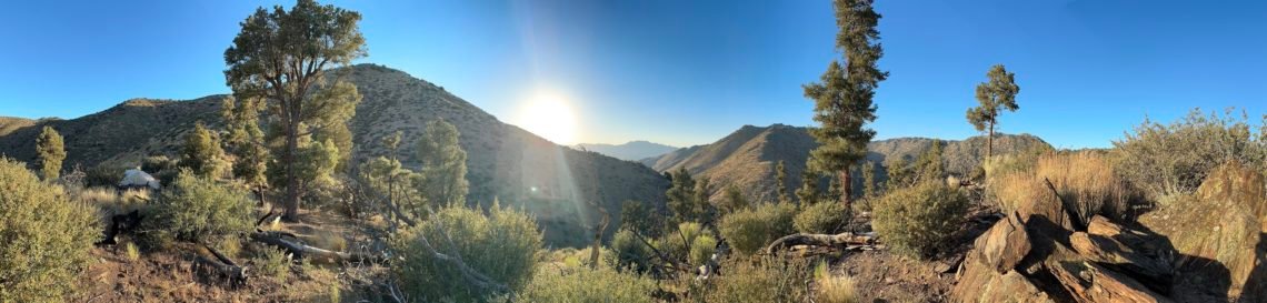
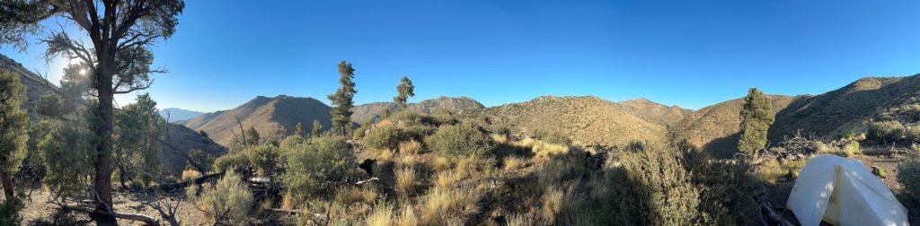
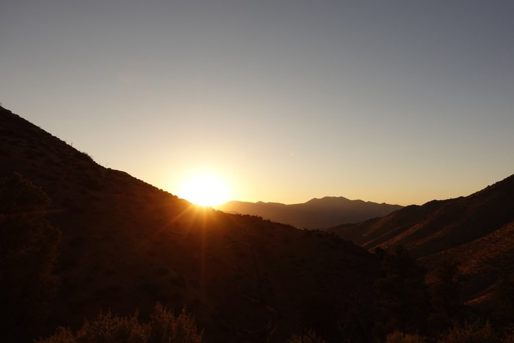
I woke up knowing that I had another 10 mile water-less hike ahead of me. The morning light helped distract me from that, but not for long.
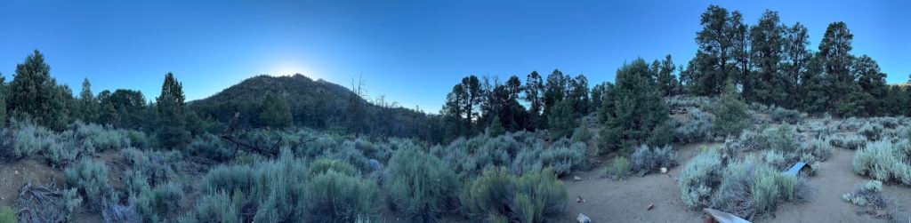
After breakfast and packing my gear, I went down to the spring.
It was dry as a bone.
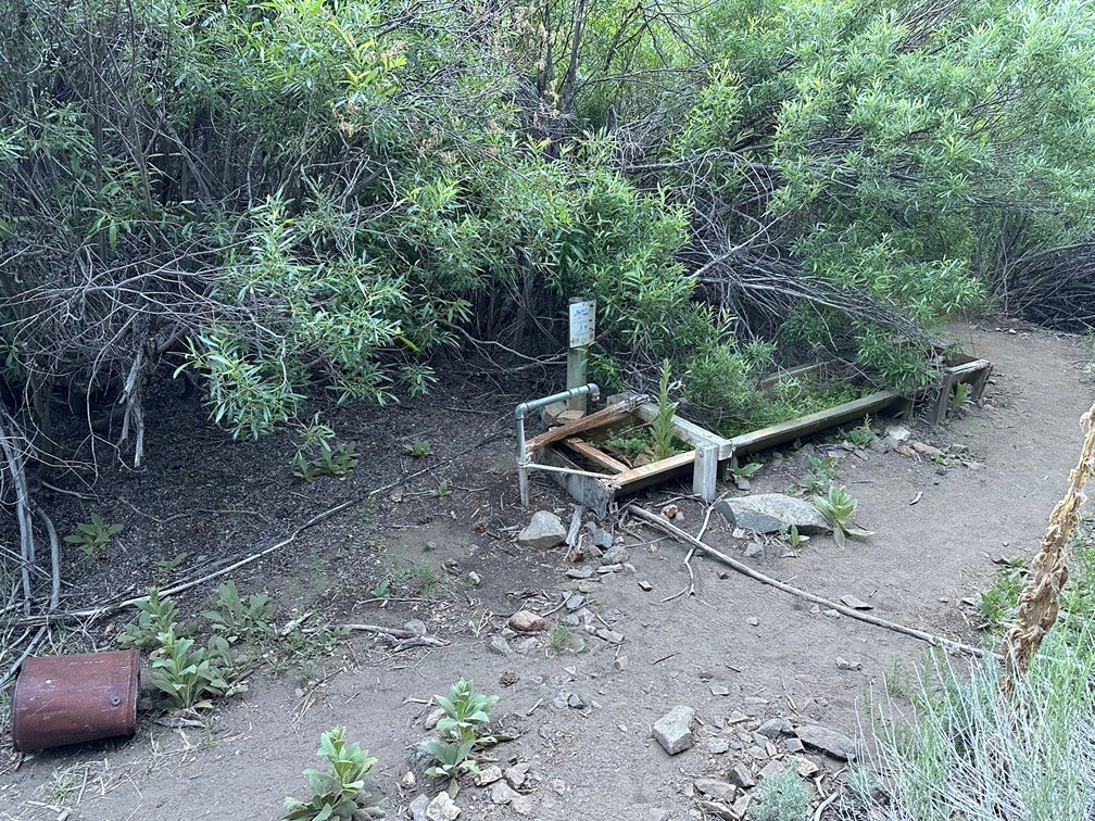
Fortunately, my trail info said there was a running creek nearby. My ears confirmed it was there before my eyes saw it. I filled up and filtered the whole 7 liters that I could carry. If I made it to the the next water source that day, there wouldn’t be time or the desire to stop to filter any water along the way. Why?
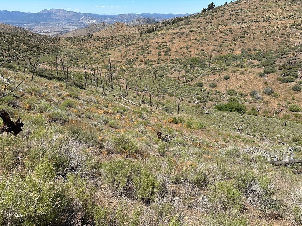
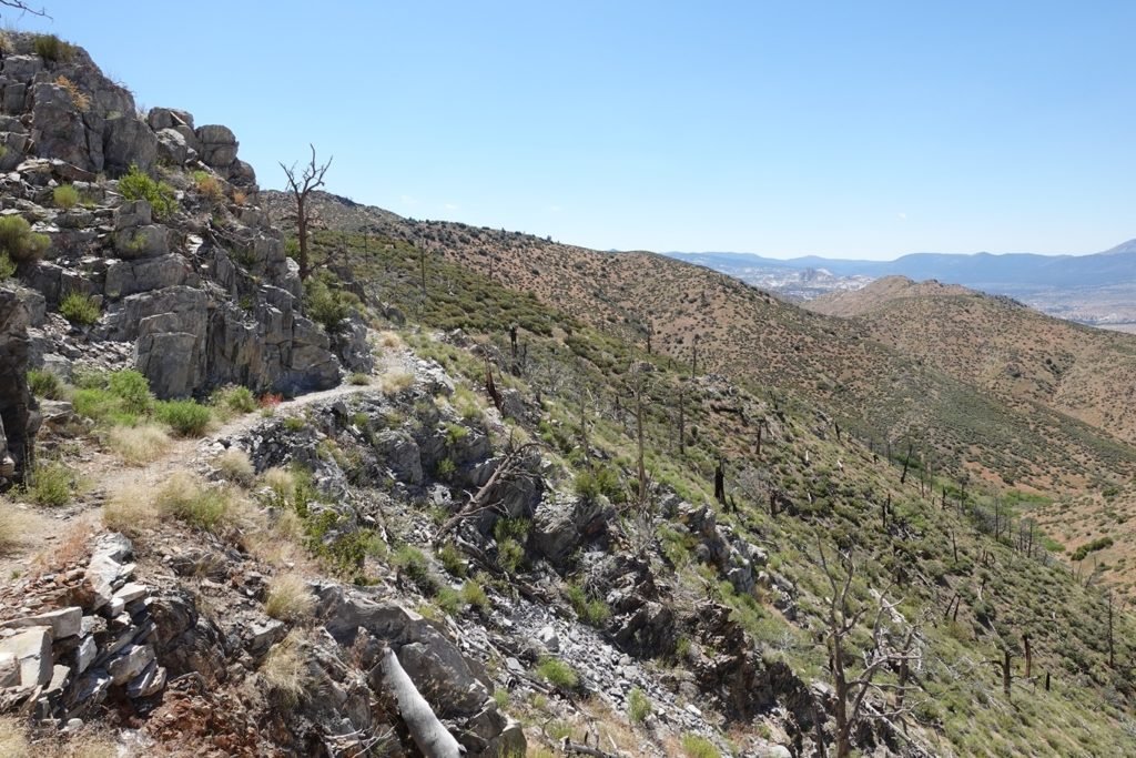
The next ten miles were both without any water sources and was a steep climb followed by a steep descent (very common along the JMT and PCT, unfortunately). On top of those, by the look of the map and the satellite photos there was very little shade along the way.
It would be a long, hot day.
After filling up on water, I headed out into the sun and up the steep slopes that I’d have to climb for the first part of the day. Getting to do that climb on fresh legs and in the cooler morning hours was about the only good thing about it.

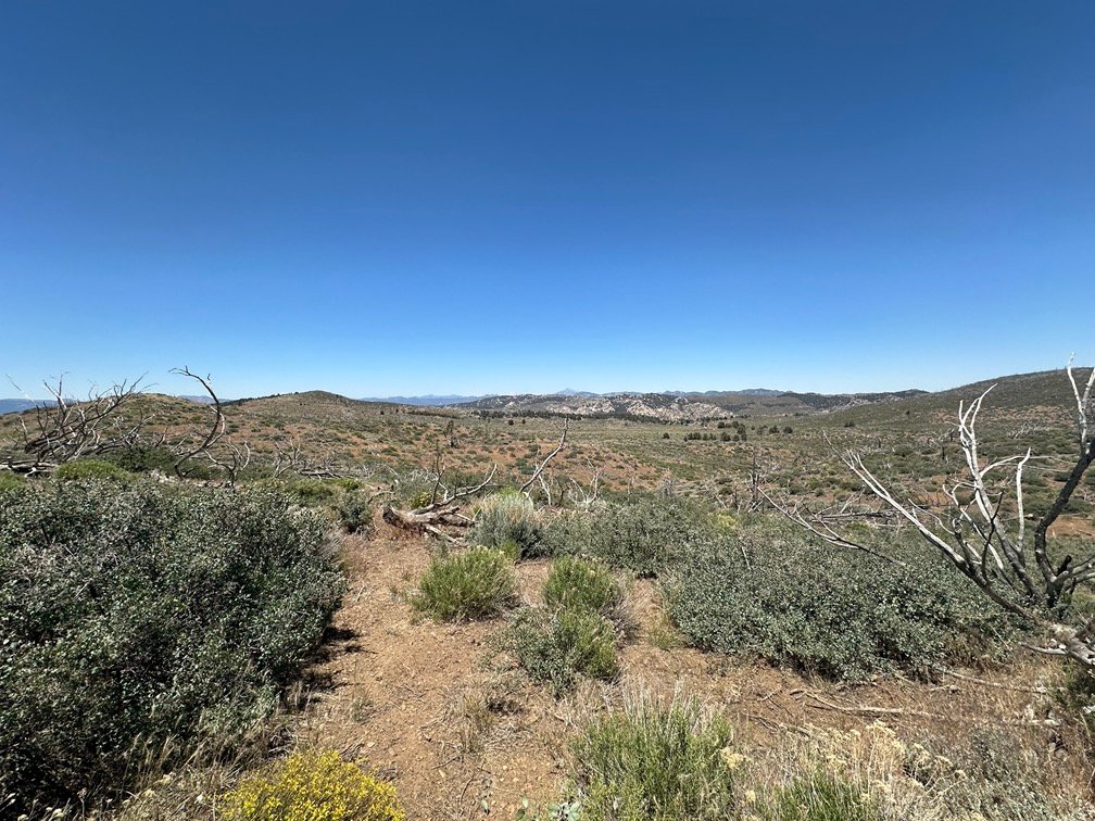
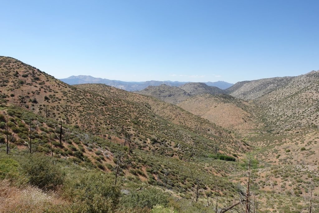
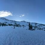
The climb was long and hard, with very little shade to rest in. But the views helped calm my soul… a little.
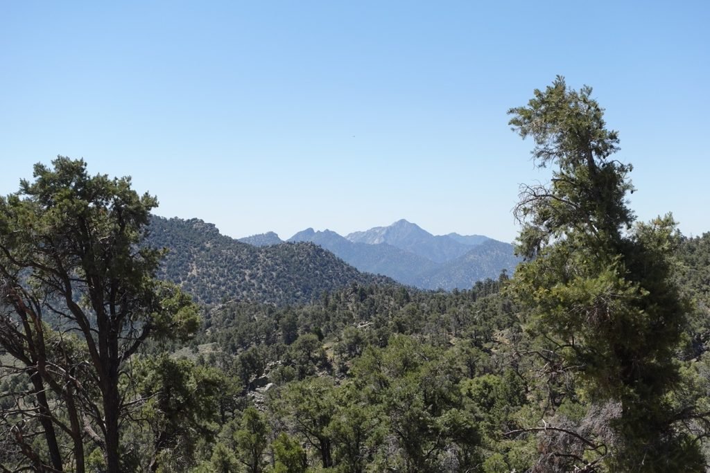
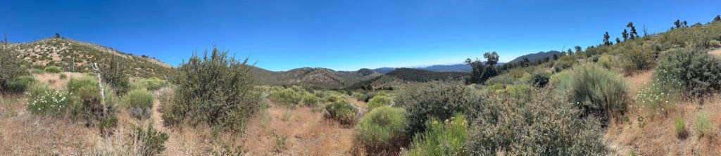
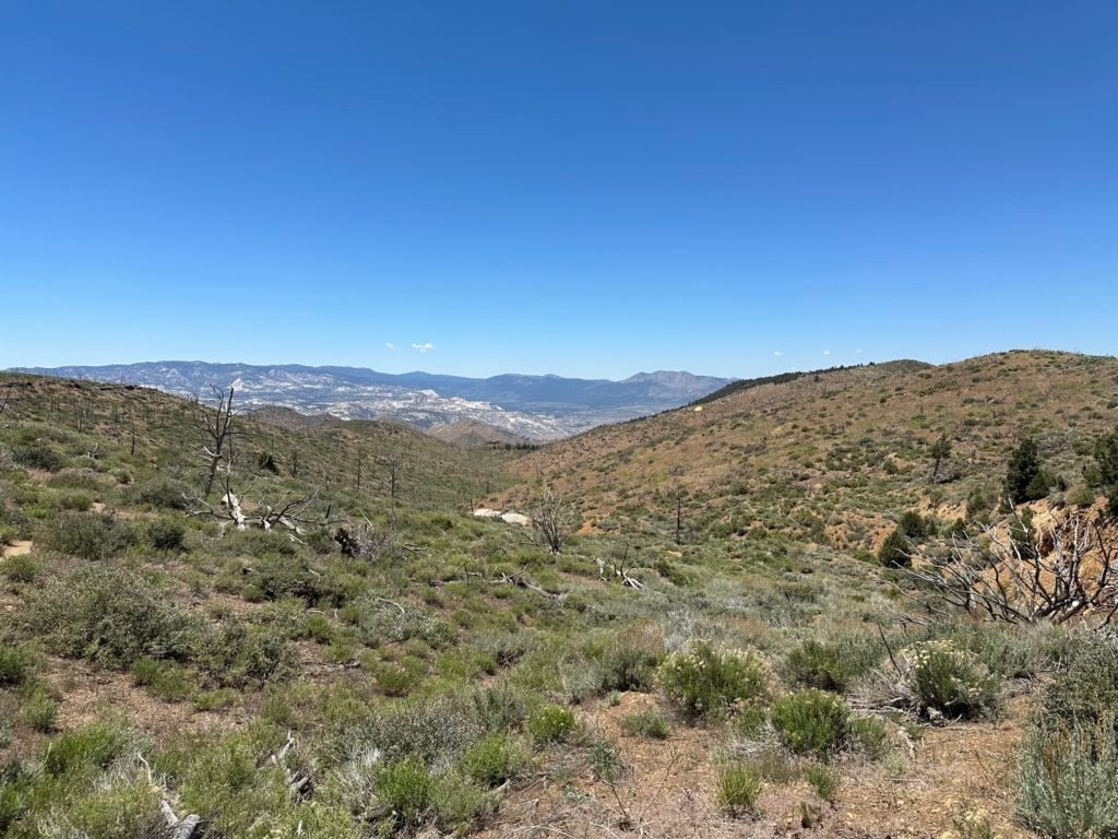
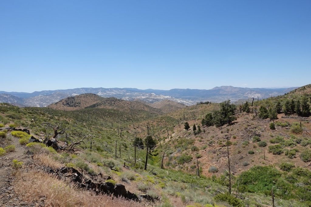
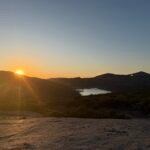
A peek at Owens Valley greeted me as I started the downward part of the day.
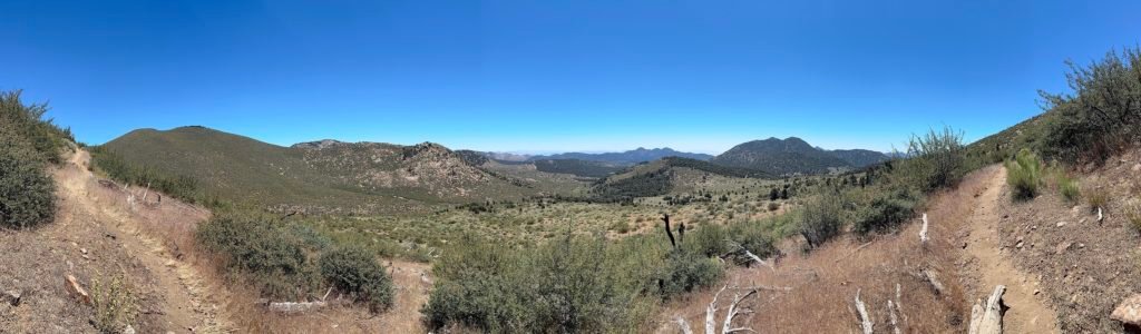
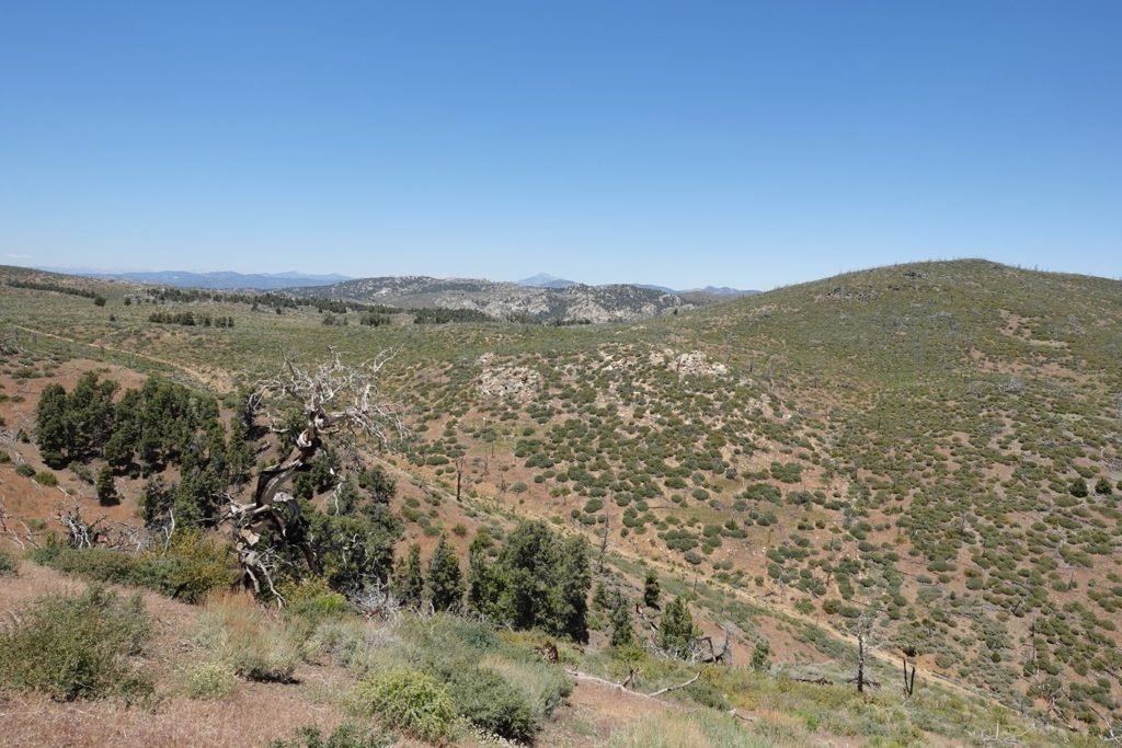
This stretch of the PCT ran parallel along a dirt road down below, most likely used for mining and quarries used in the past. Maybe today they were used by off road vehicles and Jeeps, but I don’t recall seeing any sign of motorized human activity that day. All the best to avoid the temptation to ask for a ride.
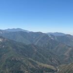
I took a break and scanned the new mountains around me with my Peak Finder app to get my bearings and just to be able to pick out any notable peaks or mountains.
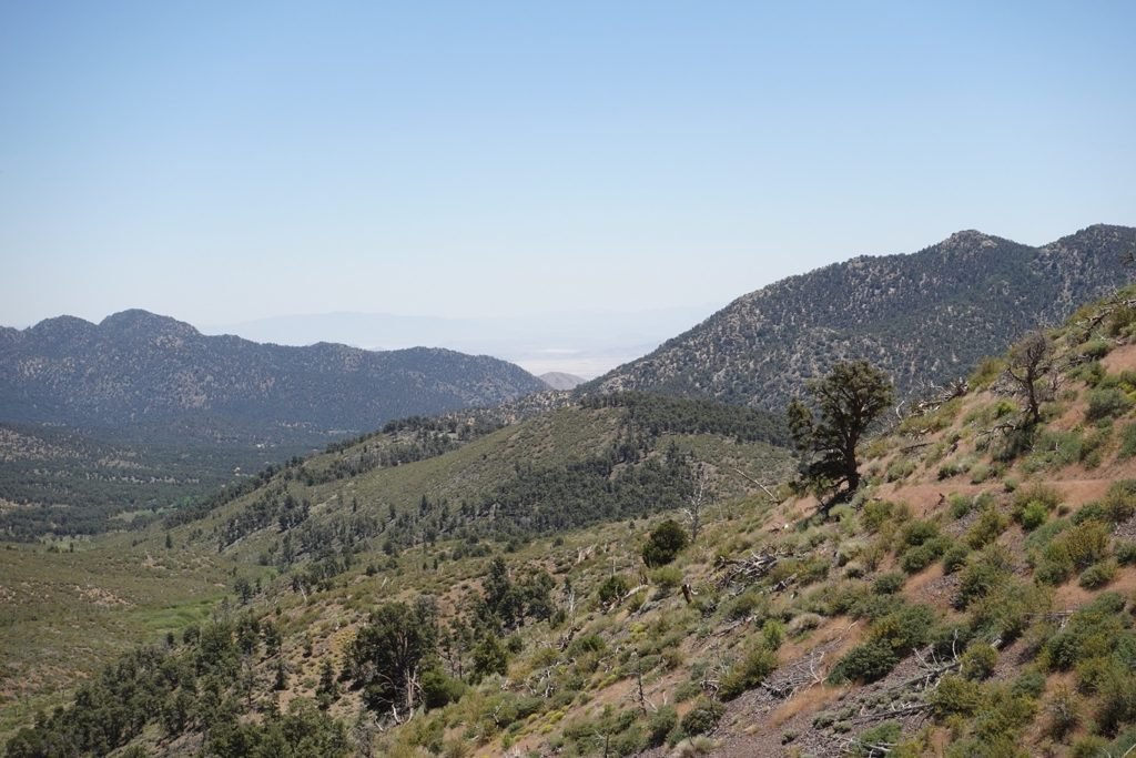
I got a surprise in the process.

I didn’t expect to see it this early in my trek, but it was a happy surprise.
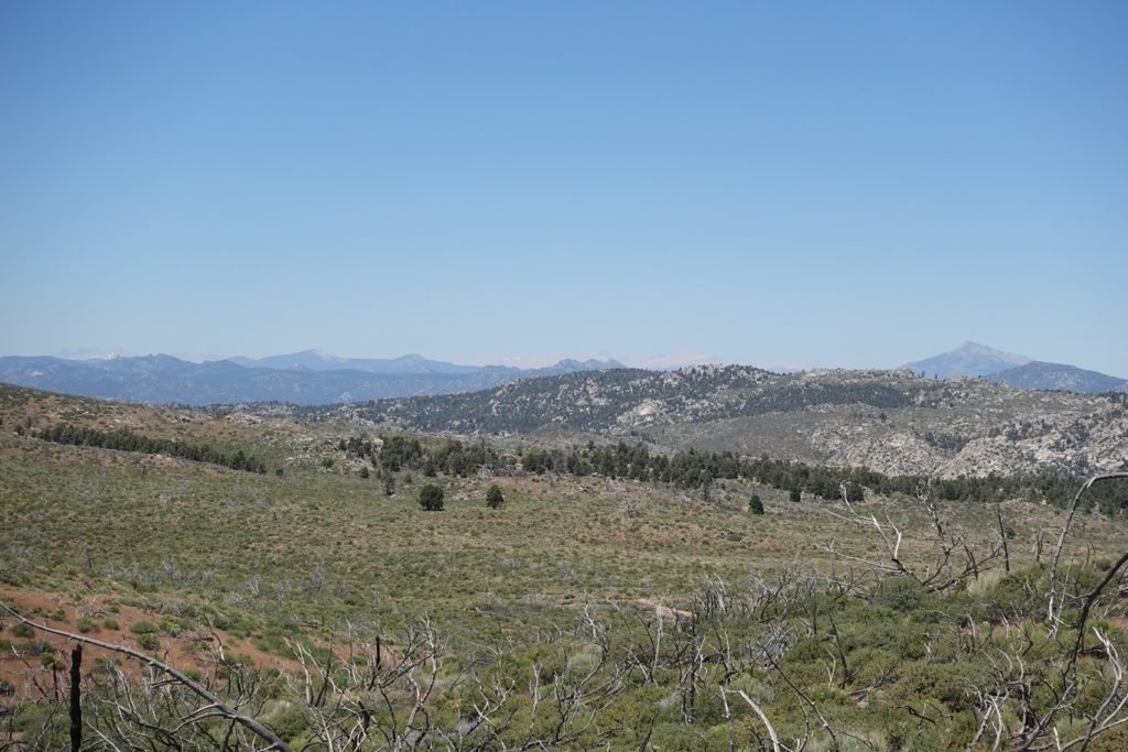
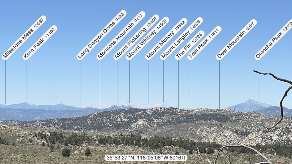


I could see Mt Whitney’s summit from where I was!!
And the summit of Mt Langley the the right of it. The first two 14ers I had climbed less than a decade prior.
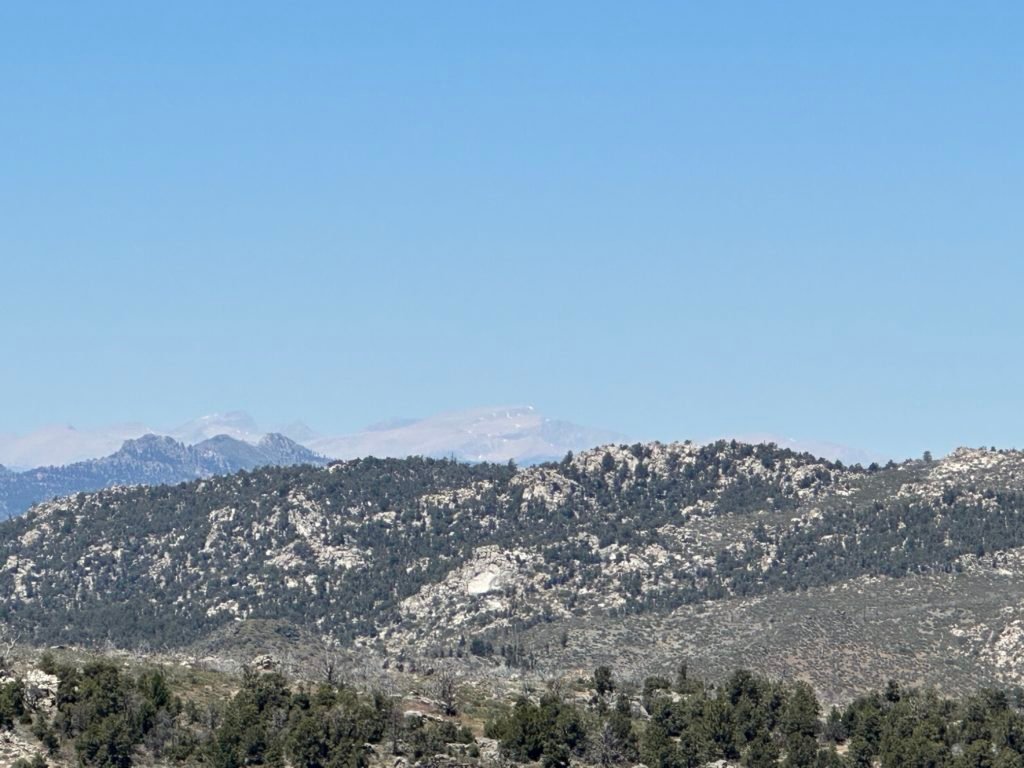
It was nice to see one of my goals for the trek with my own eyes. I had climbed Mt Whitney three times, but it never seems to be enough for me. Mt Whitney also marked the approximate end of my primary goal of this trek: The end of PCT Section G.
So, while I obviously couldn’t see the entire trail to that point, it was technically possible to see my goals laid out in front of me. Even Mt Langley was on my trek goals as ‘do a side hike to climb Mt Langley if time and willpower permits’.
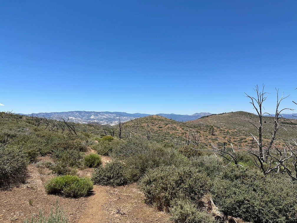
After enjoying the views of the mountains ahead of me for as long as I could stand the heat of the sun broiling my brain, I continued along the trail. It was downward, but still in the heat of the mid-day sun.
The lack of shade was starting to cause me to wish for any kind of shade. I even considered laying in a metal pipe near a junction of the trail and dirt roads that was a popular camping spot.
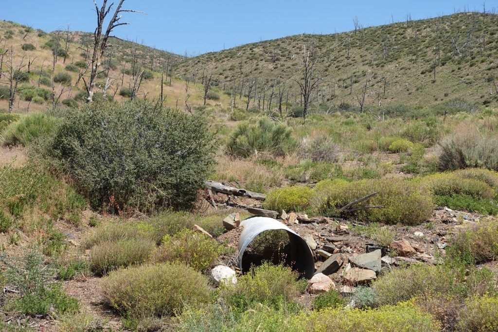
I decided I wasn’t that desperate for shade.
Further down the trail, I discovered that shade can be made by something other than trees, bushes, or metal pipes.
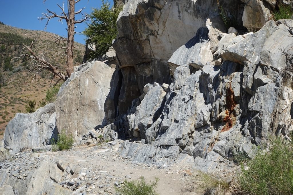
I took the opportunity to take a afternoon siesta to get a break from the sun. It was remarkably cooler with such a little sliver of shade provided by the rock outcropping. The little nook was literally only big enough for one person to sit in to escape the sun.
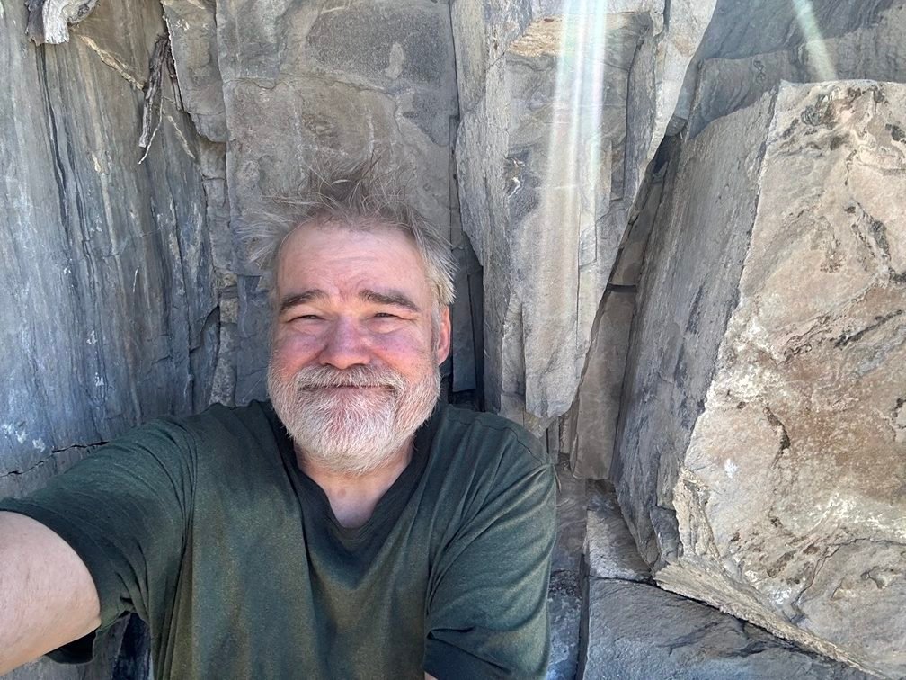
If there was room, I’d put up my tent and stay there for the rest of my life. But without that, I eventually pushed myself out of the shade and back onto the trail. That dry, dusty trail…
After that, there were only partial shade opportunities and I almost stopped at a corner that had a flat area big enough to setup my tent. But the area was not in the shade, so I only paused for a brief break.
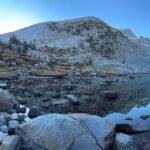
I was still 2 miles from the water source, but still had plenty of water. Stamina and the will to continue on were in short supply at that point. My hopes of reaching the water source that day were pretty much zero at that point.
My trail info did have a campsite listed about a half mile further. Crossing my fingers that it had flat areas in the shade was the only thing moving me forward.
Salvation!!
Several tent pads were in the area and some even had some shade! I setup my tent in a spot with half shade and smiled as the sun lowered enough to get it completely into the shade after a half hour. I collapsed into the tent onto my air mattress. Getting the weight off my legs and feet was always a great way to end a day’s hike.

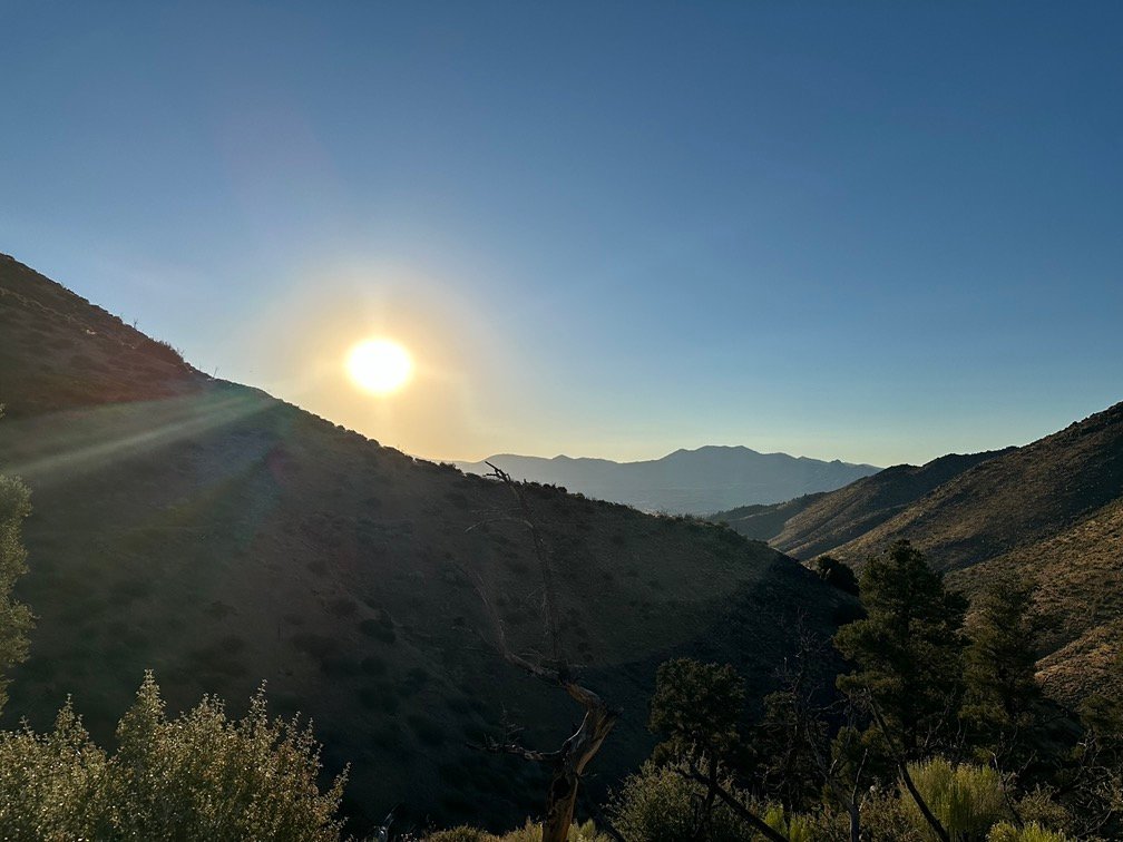
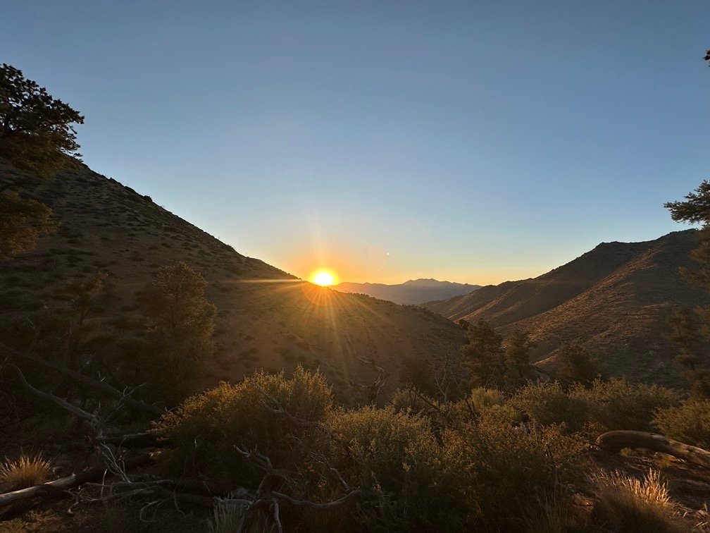
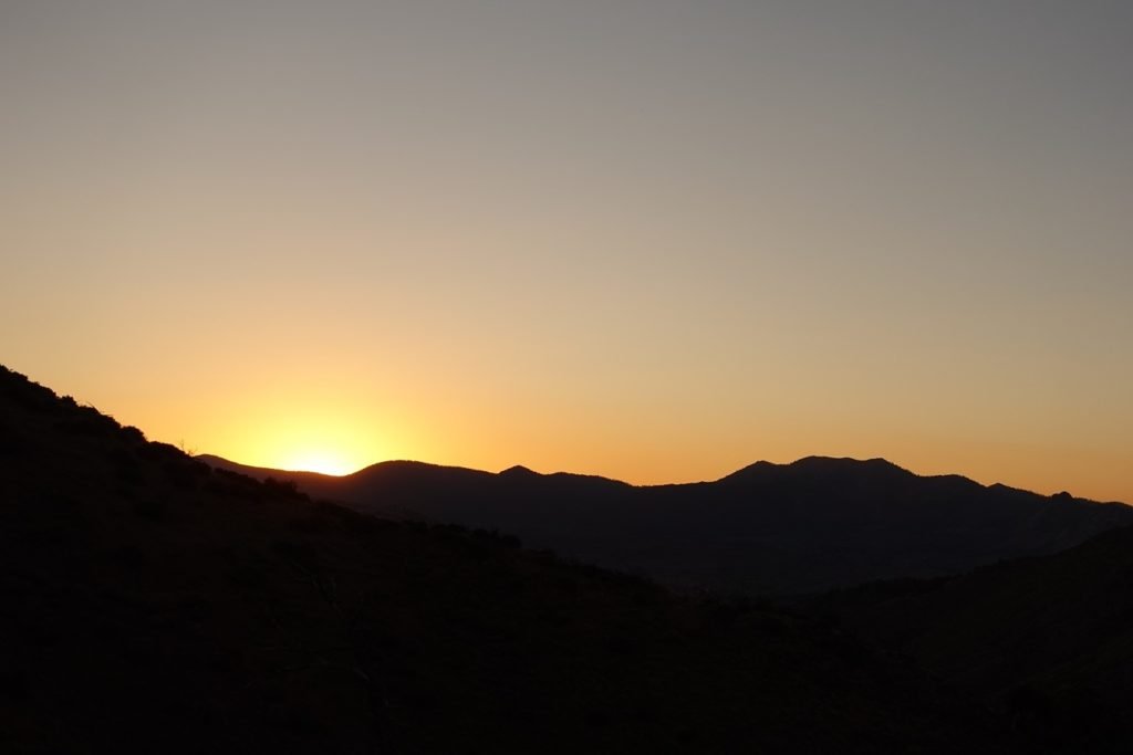
As a bonus, the little area I had found also had a good angle on the setting sun. Dinner and a light show. The best way to end a hard day on the trail!


I had come up a little under 2 miles short of the next water source, but I still had enough water for dinner, breakfast, and to get to the water source. Good enough.
And best of all, less than ten miles to Sheldon Pass Road and my first chance for a Diet Coke! Maybe a single day’s hike that would put me into Kennedy Meadows a day early! A very welcome surprise that I wouldn’t have imagined possible until then.
Goal for the day: Survived – Check! Reached next water on the trail – Failed.
Day 5 – 9.5 miles – 10 hours 20 minutes
PCT section G – 39.5 trail miles out of 115 total miles

(mileage and time approximate and based on GPS tracks which may not be exact and include diversions from the trail)


1 Pingback