
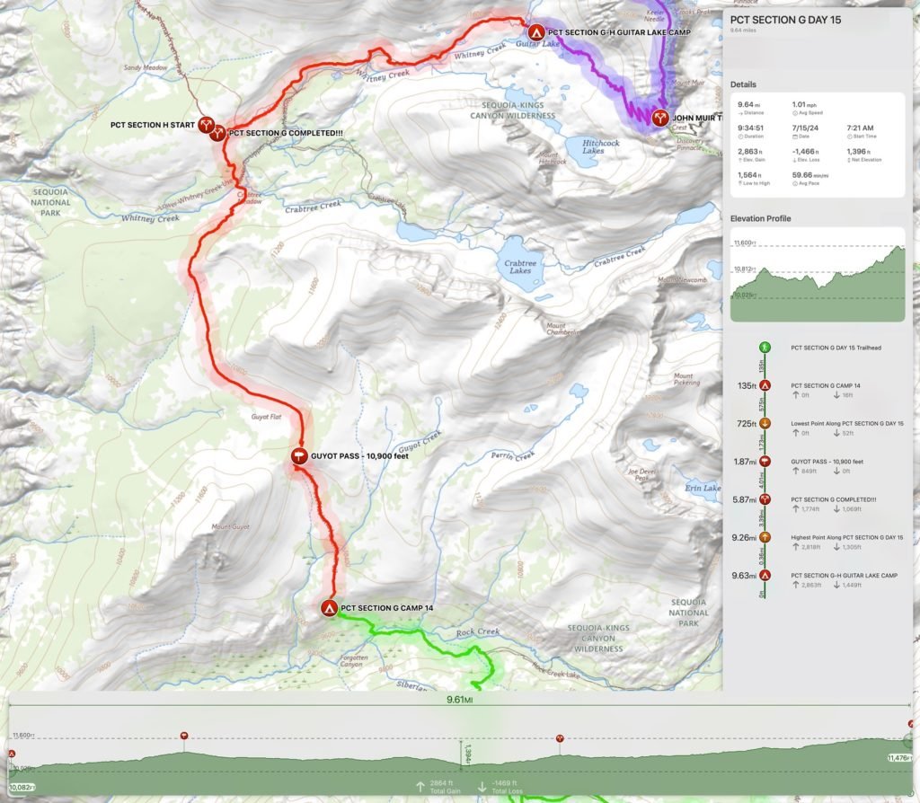
Goal for the day: End of PCT Section G
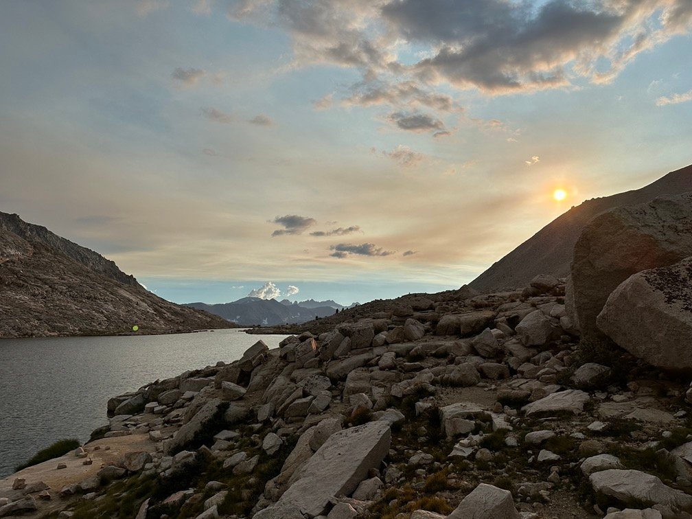
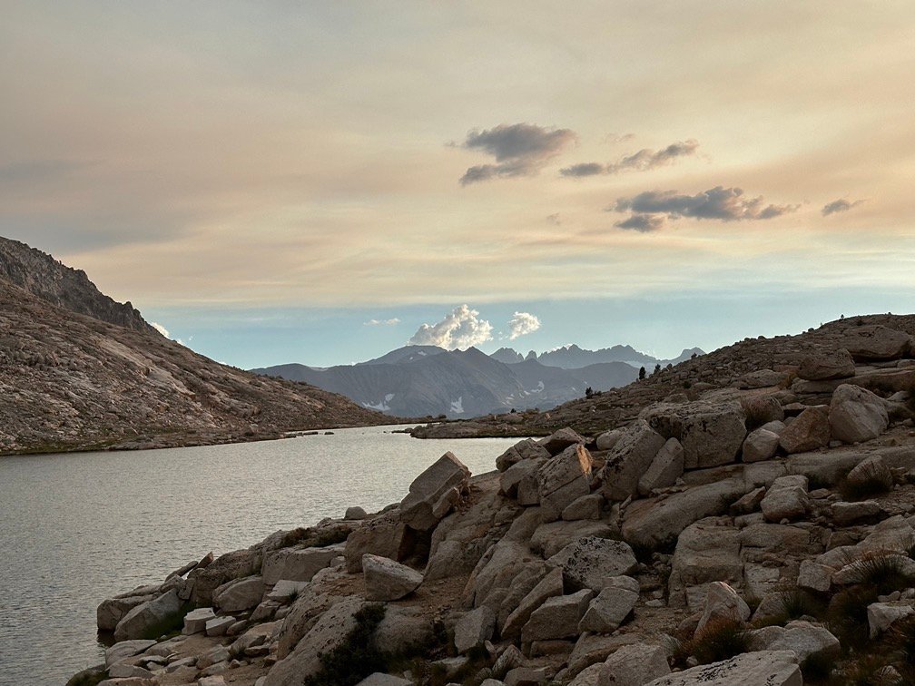
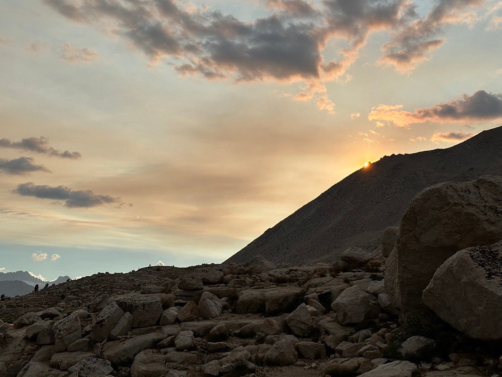
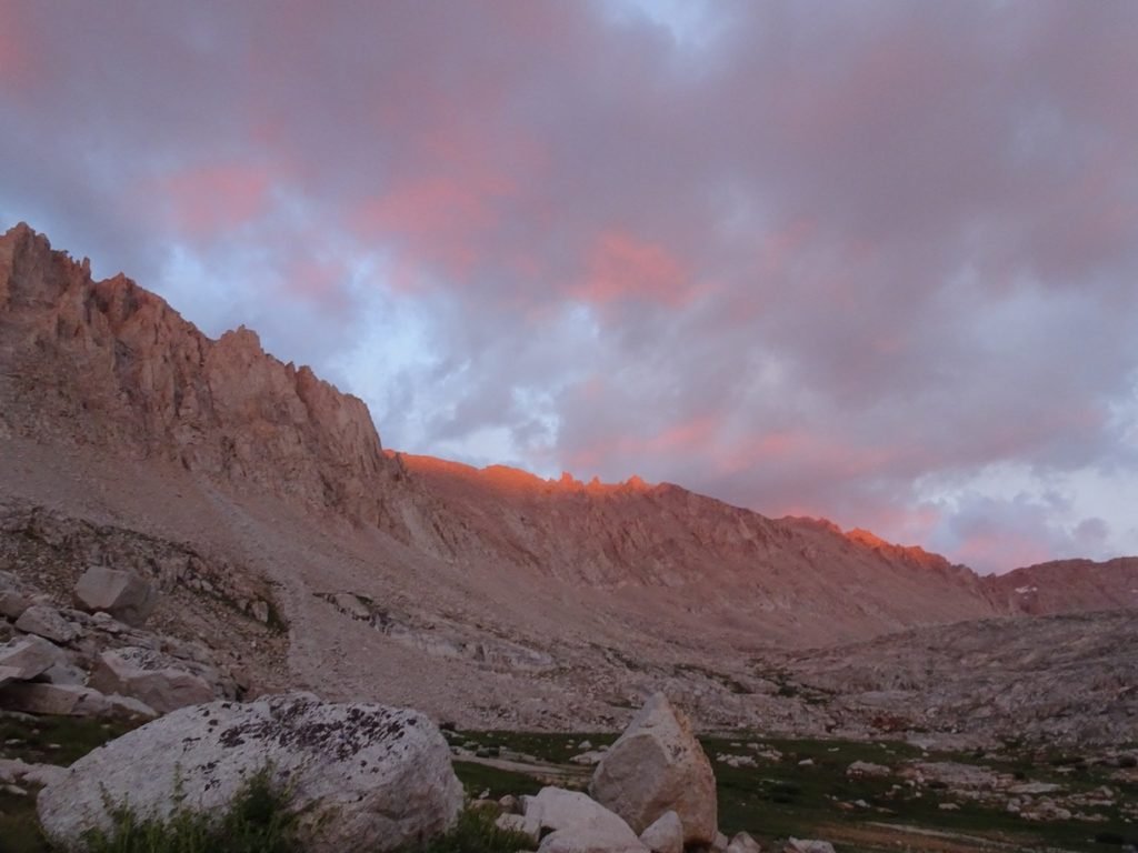
In the morning, the puddles of water were dried up, so there wasn’t much sign of the previous evening’s monsoon. Except for my wet rain fly, that is.
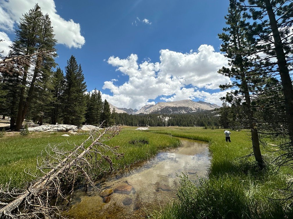
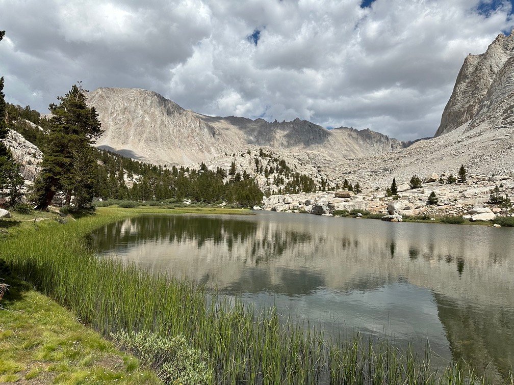
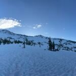
I also got to see some of the ‘view’ that I had hoped to see the previous night when I pushed myself to climb up the ridge to find a campsite with a view. Better late than never.
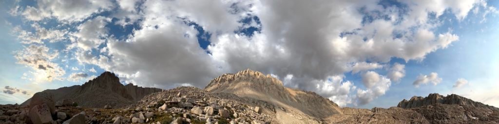
The blue skies and sparse fluffy clouds were also encouraging.
6 miles to the Crabtree Meadow Trail junction, the end of PCT Section G! The first and primary goal for this trek was within a half day’s hike.
I put my wet tent into a garbage bag and then packed it into my bag. There was rarely time in the morning to let my tent dry when backpacking, so I usually just put it in a bag to avoid soaking the inside of my backpack. I also kept the wet rain fly and body of the tent separated that morning to help keep the inside of the tent dry.
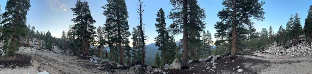
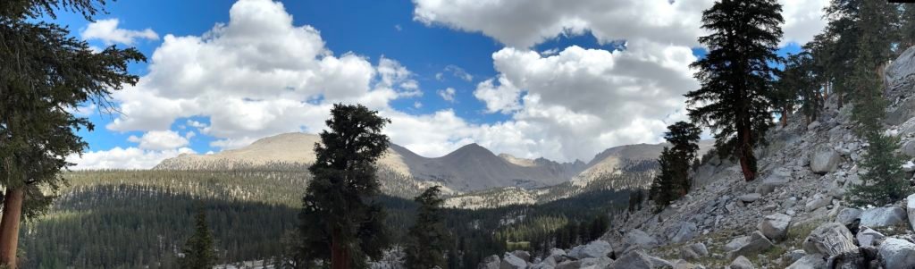
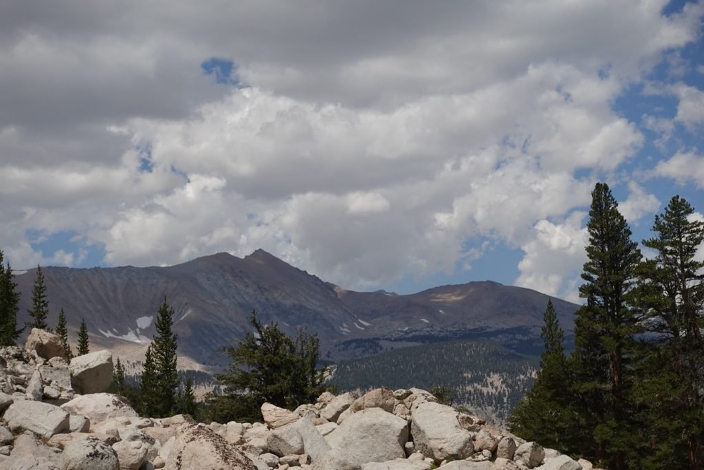
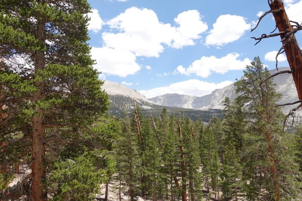
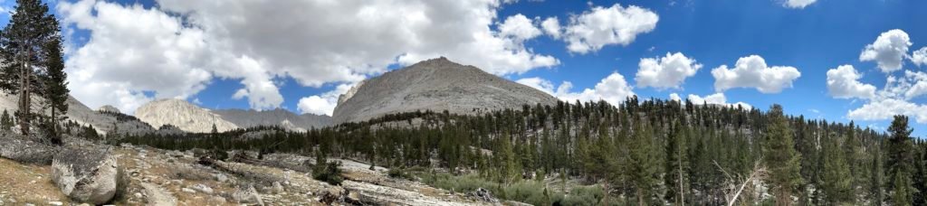
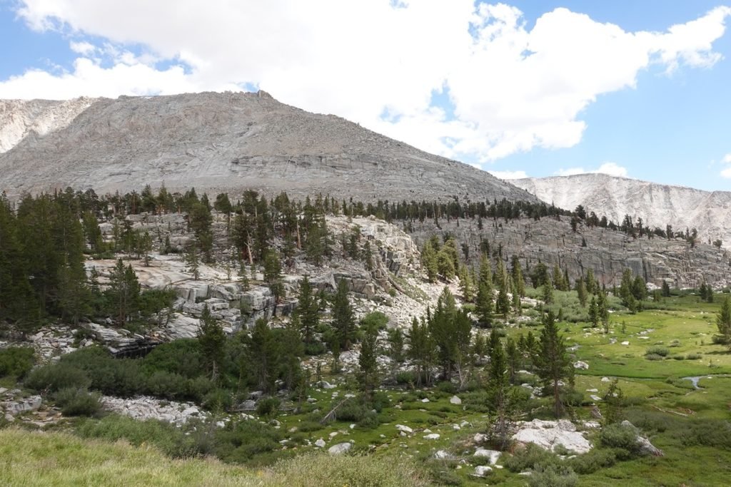
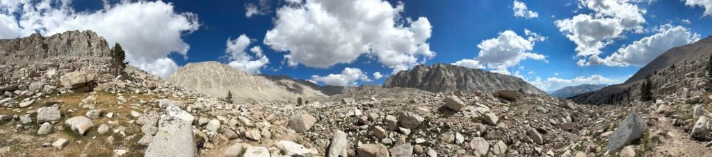
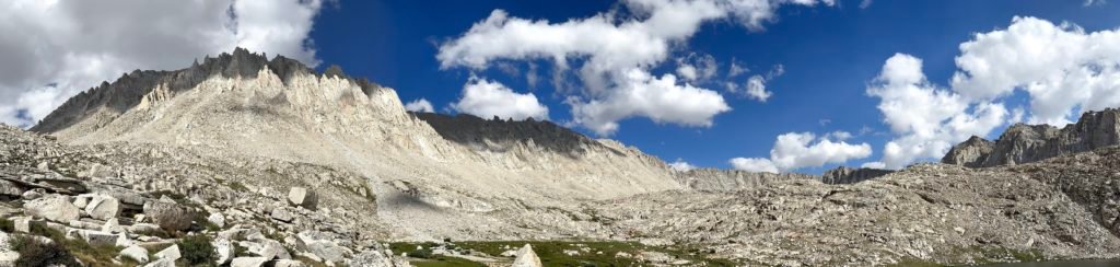
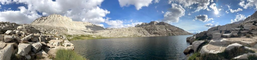
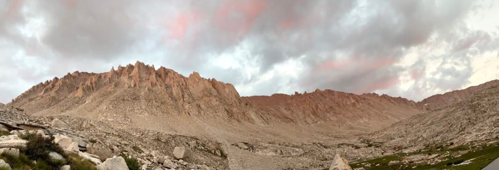
Once over the ridge, it was a simple hike up to Guyot Pass (10,930 feet). Unlike a lot of passes on the JMT or PCT, this pass was an easy hike from the south. The low point was only 600 feet lower than the actual pass and mostly a gentle slope up through a sparse forest of Giant Sequoias and only few small switchbacks to navigate on the way up.
Of course, unlike a lot of the other passes, this one didn’t have any huge drop offs on each side of the pass. Was still a nice view as I made my way towards my goal.

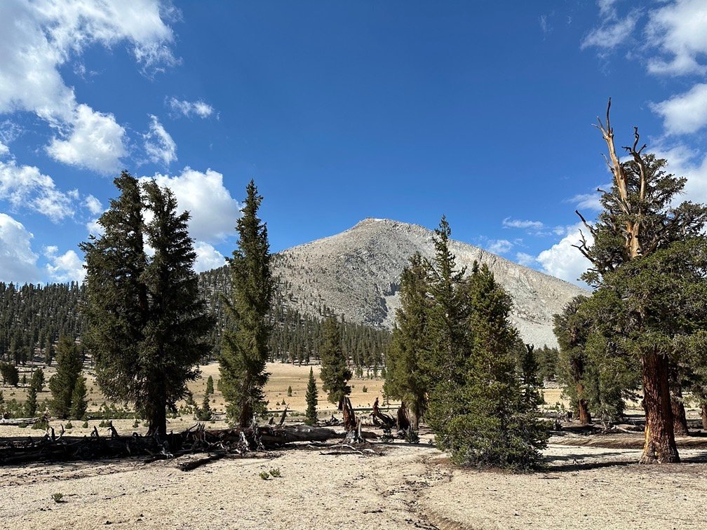
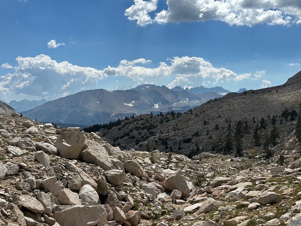
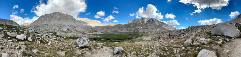
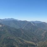
From that pass, the trail wound around a ridge line before turning eastward and descending down toward Crabtree Meadow.
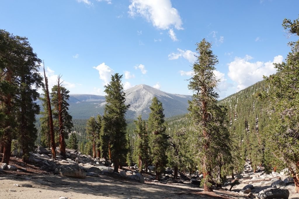
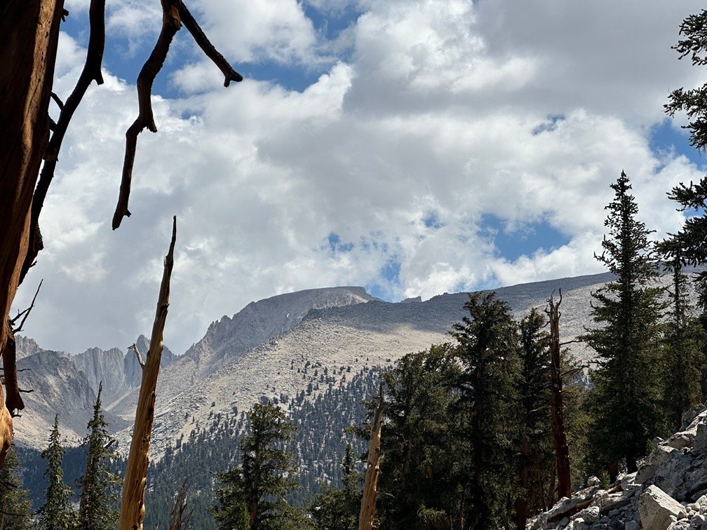
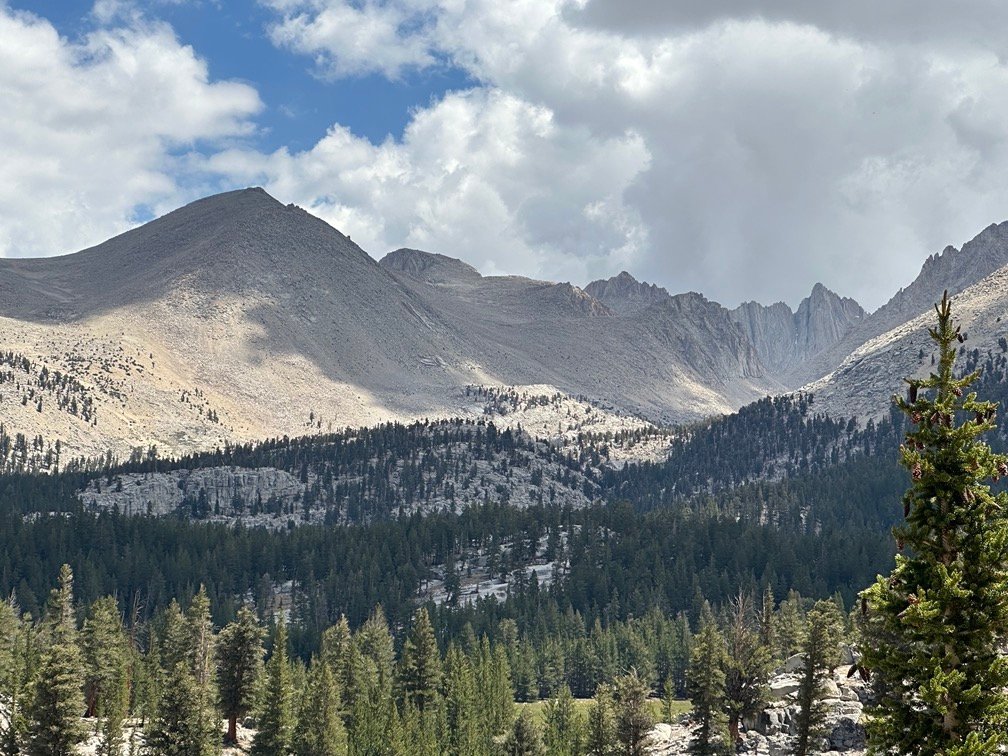
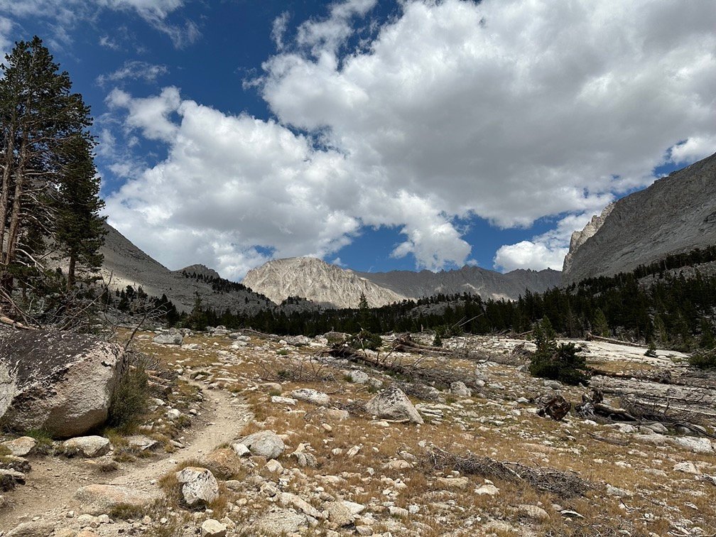
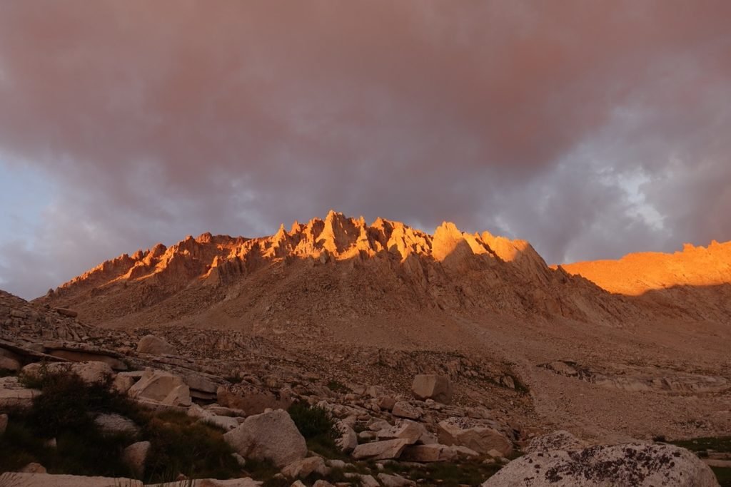
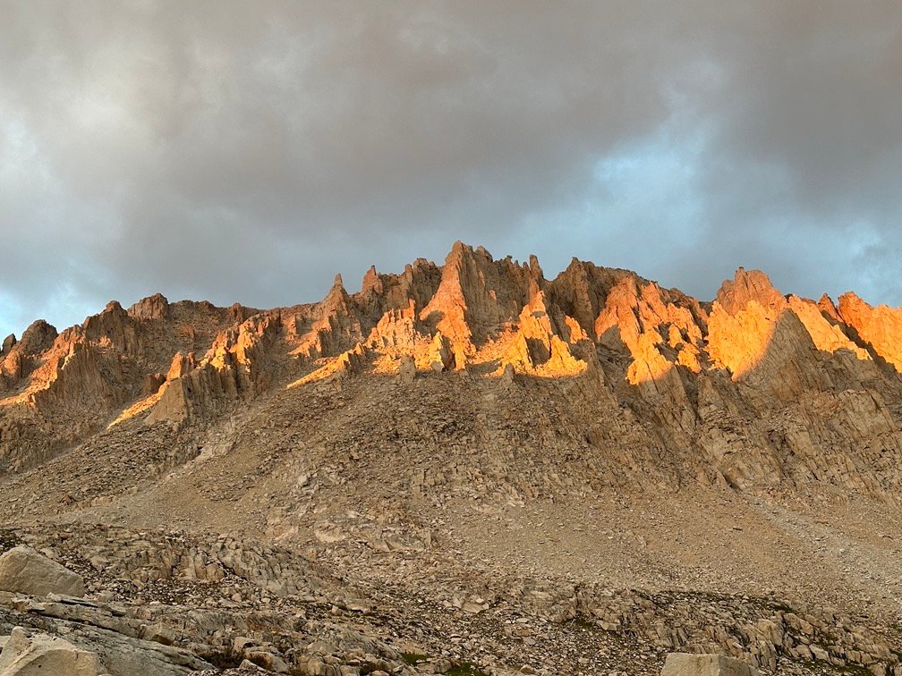
Oh, what’s that in the distance?
I had been expecting to see it at some point, but not quite as soon as I did.
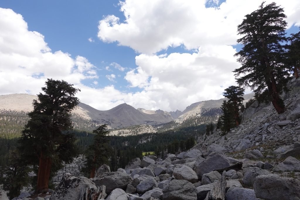
Poking up above the trees along the ridge and the nearby mountains that surrounded Crabtree Meadow was a familiar mountain crest.
Although I had never hiked from Cottonwood Pass to Mt Whitney before, I knew the familiar crest that leads up to the Summit. Even without verifying it with the Peak Finder app on my iPhone, I knew that it was the top of Mt Whitney.
It was actually the first sighting of it from the trail since the unexpected long distance view from south of Kennedy Meadows an eternity ago. Very welcome view at this part of the hike.
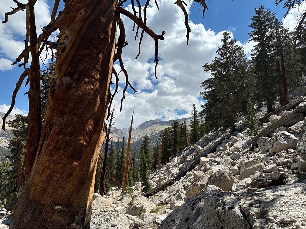
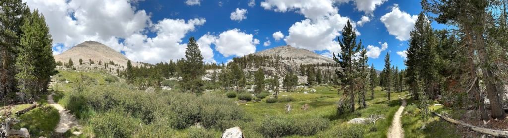
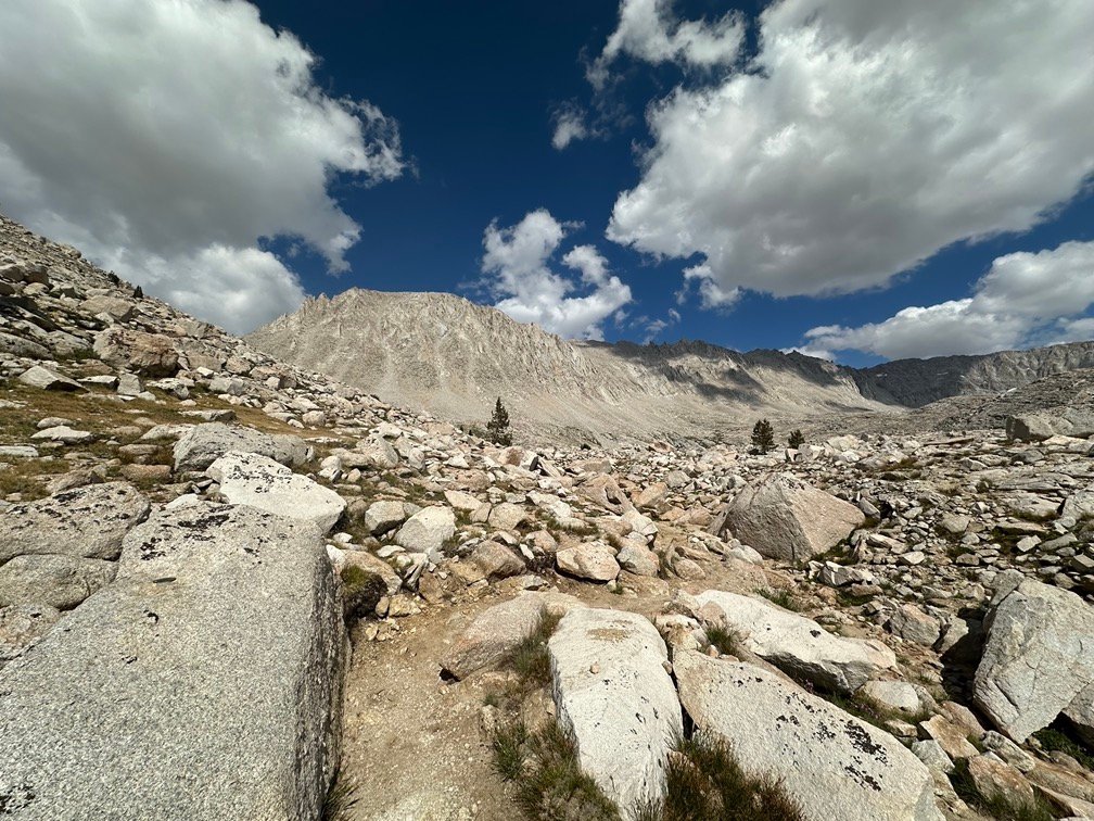
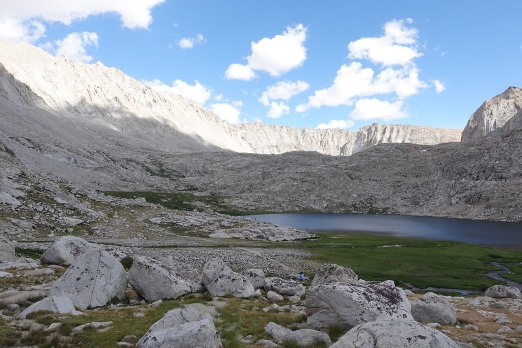
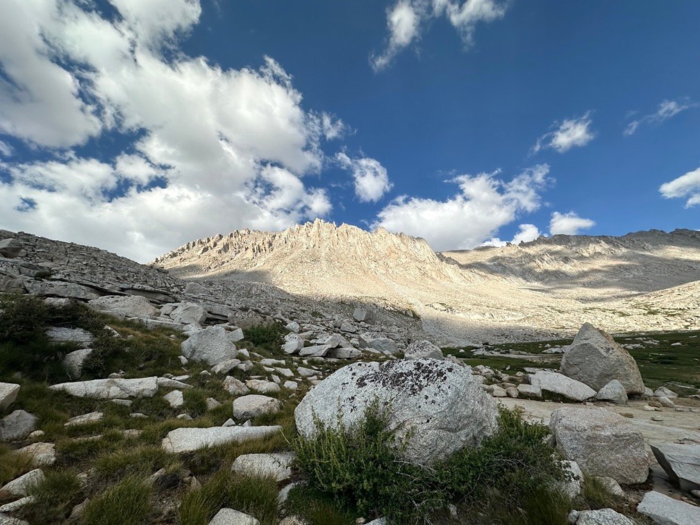
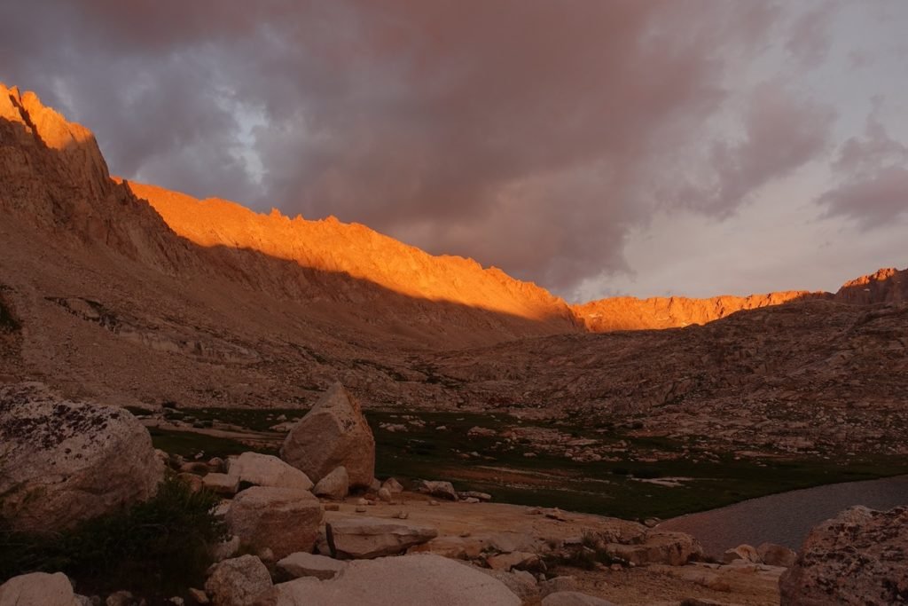
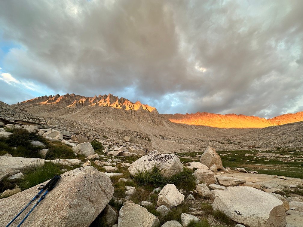
The descent down towards Crabtree Meadows was a rocky mix of trails and switchbacks, but nothing horrible.
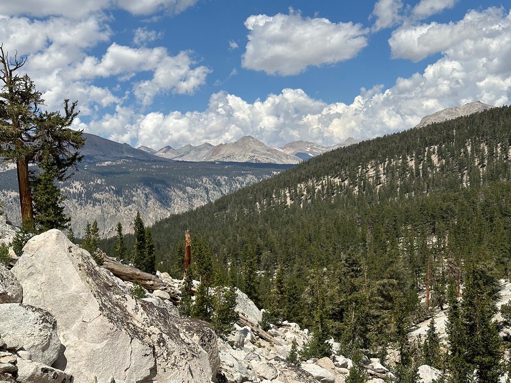
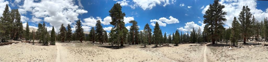
As I neared the meadow, the trail leveled off and slowly changed from rock to grass and dirt.
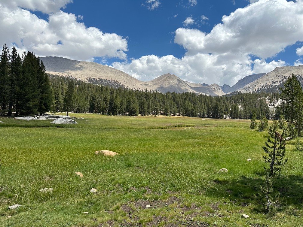
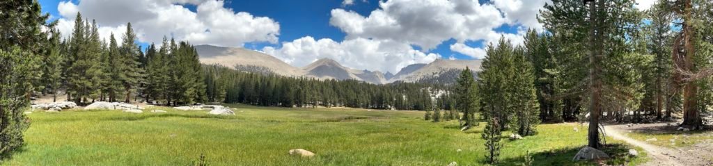
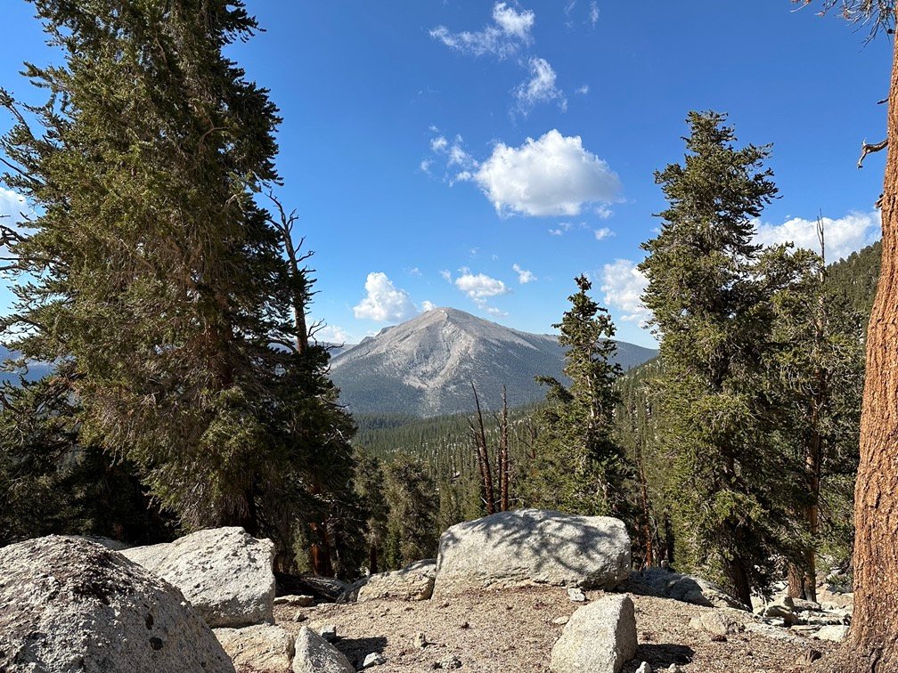
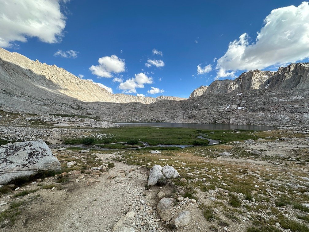
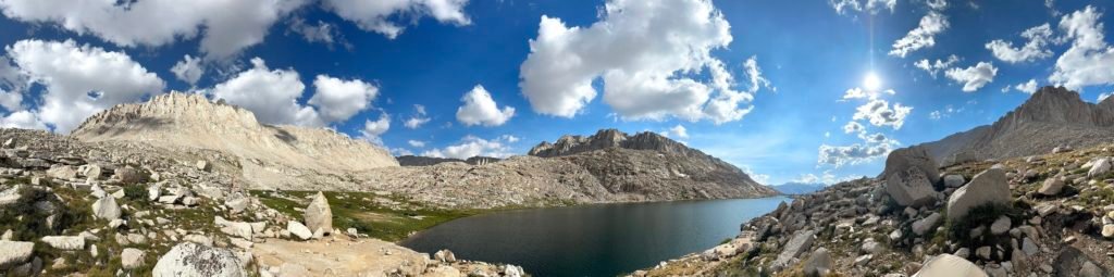
Having never approached Mt Whitney from this direction, I never realized how big and green Crabtree Meadow was. If it wasn’t for the monsoon the previous day and my old body being so slow, it would have been great if I had been able to make it this far and camp near the meadow. There were plenty of dirt campsites on the west side of the PCT trail nearby.
It was a nice place to stop and catch a breather with Mt Whitney in the distance.
But, it was still morning and the goal was less than a mile away and 500 feet up from the meadow.
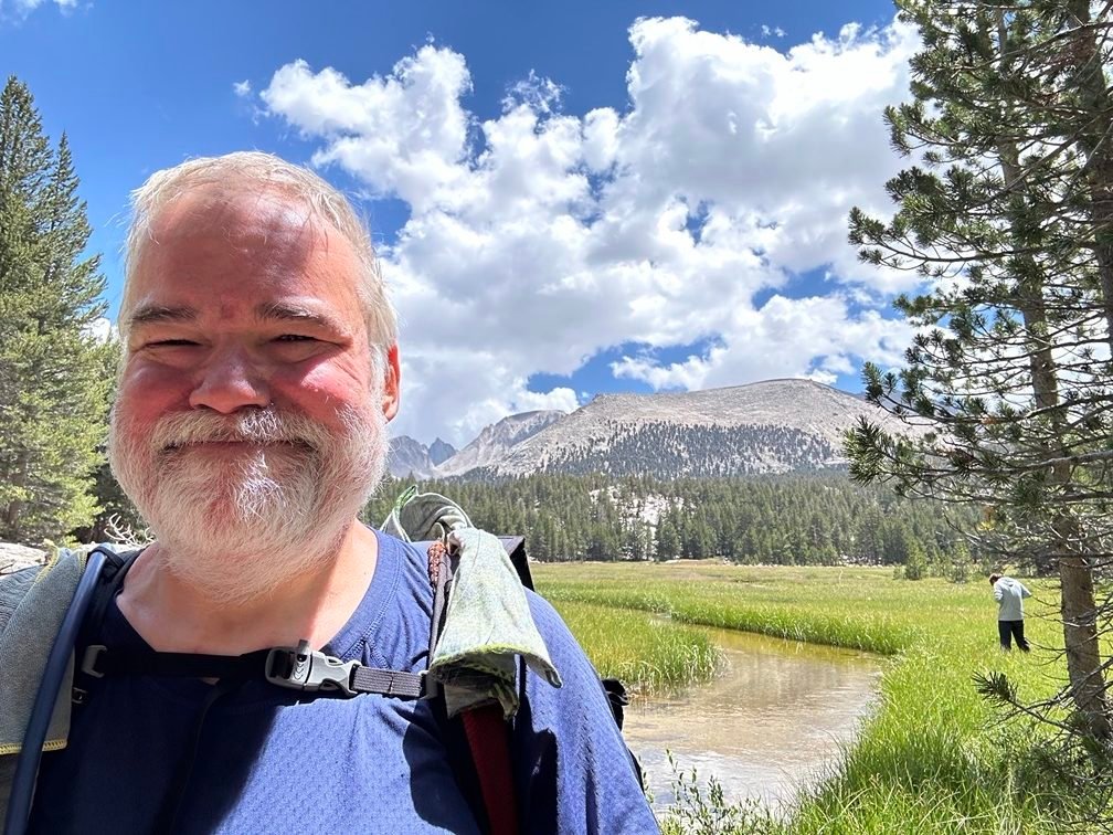
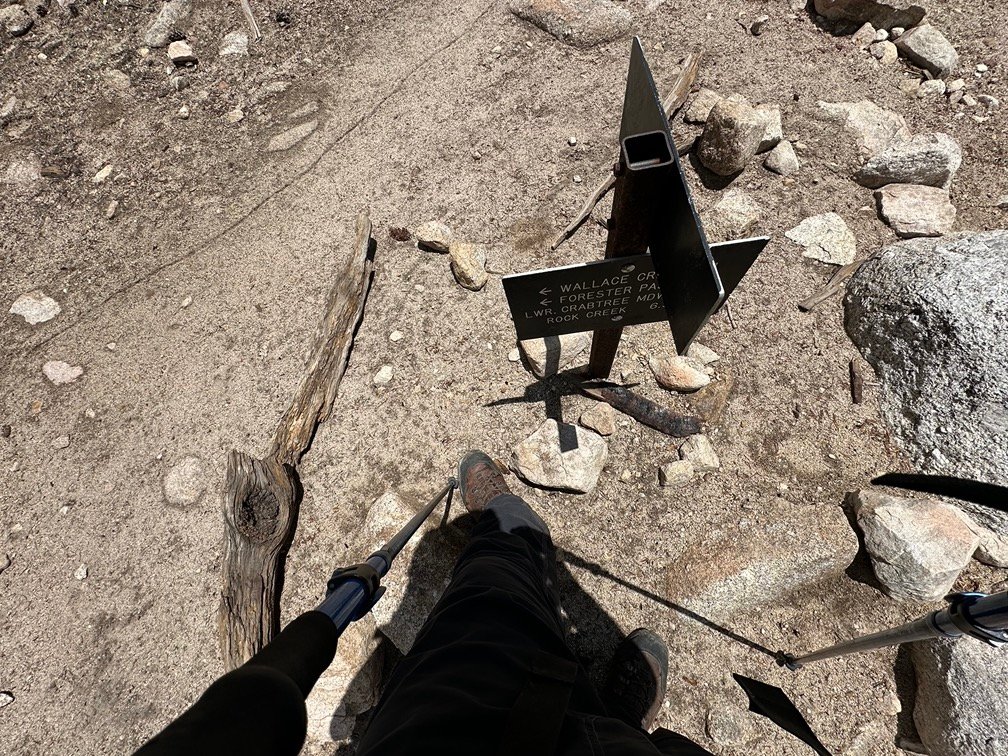
So, after getting a little additional water to last me until Guitar Lake, I started up the rocky ridge that lay before me.
And then…
I reached the trail junction where the PCT met the JMT. Although I had been there twice before when I climbed Mt Whitney for the 2nd and 3rd time, this was the first time I had reached this trail junction from the south.
That alone would be a nice accomplishment, but the big deal was…
I had just finished all 115 miles of PCT Section G!!!!
And still looked somewhat clean!
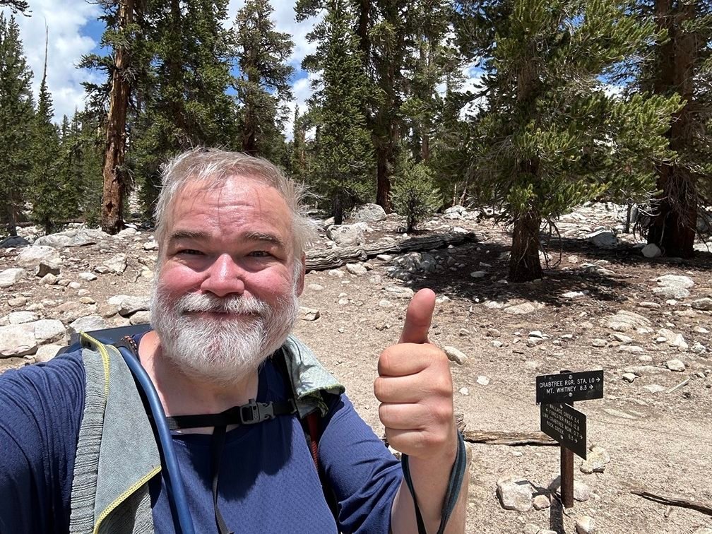
The first major goal of this trek was finally achived and I celebrated with pictures and a well deserved break.
VICTORY!
G is for GOAL!!!
Might as well end the trek right there and go home.
Only problem with that thought is that I still wanted to climb Mt Whitney again AND the nearest exit trailhead was the Whitney Portal 15 miles away over the 13,370 foot high Trail Crest.
So, after enjoying a brief rest to celebrate my finishing the last part of PCT Section G, I headed west away from the PCT on the JMT.
Towards Guitar lake and towards the Summit of Mt Whitney.
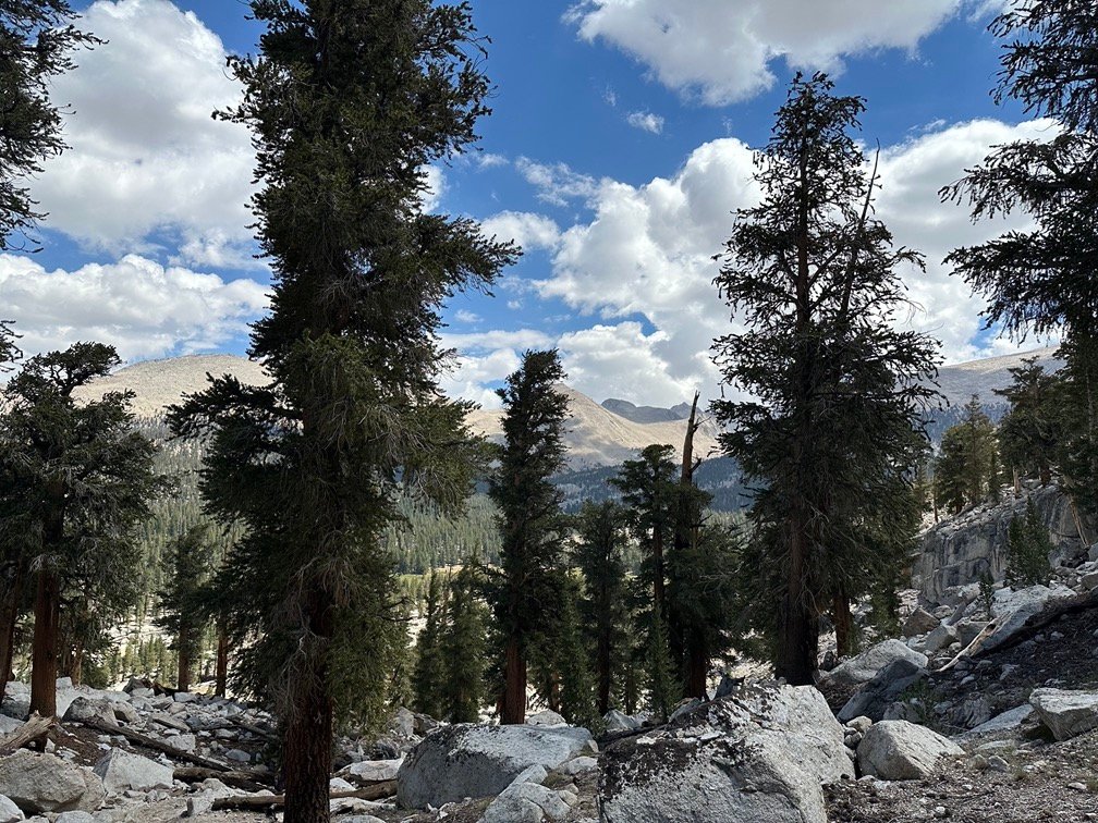
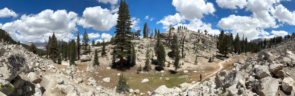
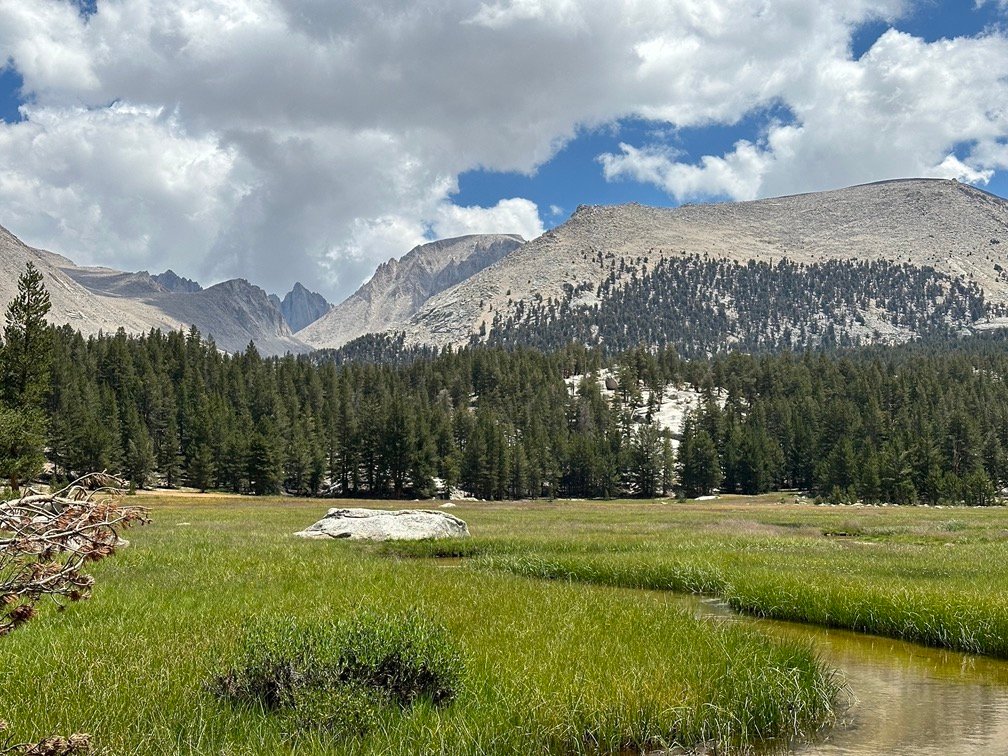
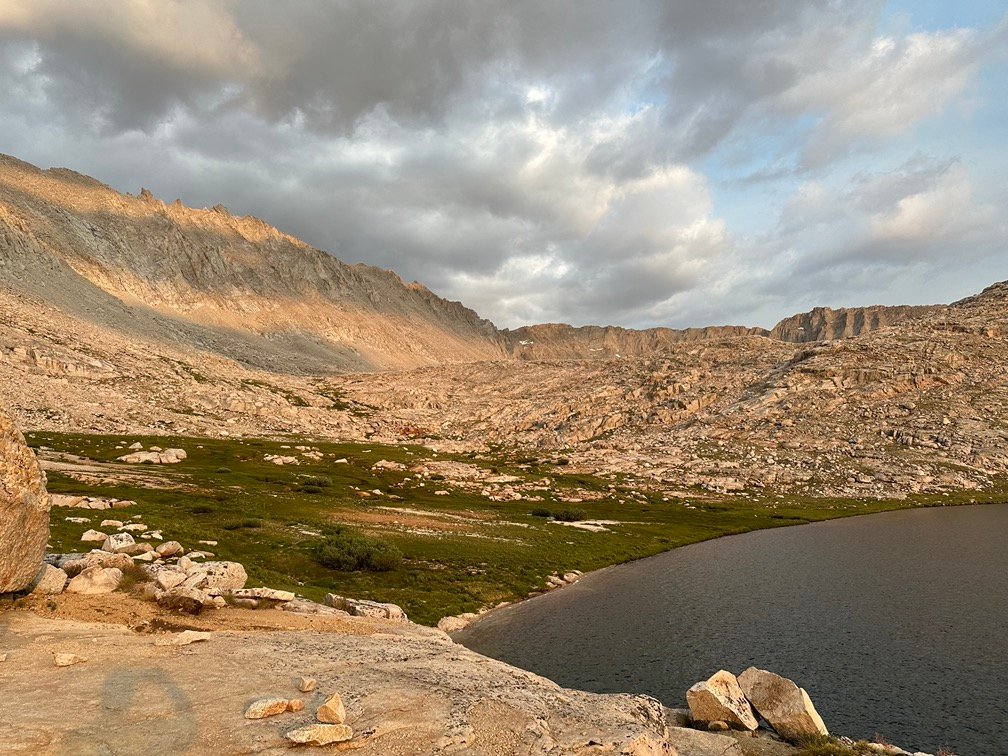
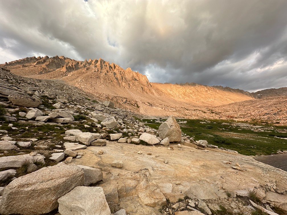
The trail wound through some rocky ridges, some small meadows, and alongside some small ponds and lakes.
The last time I had hiked along this trail at the end of my JMT hike 4 years earlier, I had been chased by a thunderstorm approaching from the west all the way to Guitar Lake.
I was glad that history didn’t repeat itself this time.
Since this was my third time approaching Whitney from the west, I was not fooled by any of the false ridges that had fooled me many times on my first trip. And a couple times on my second… somehow. 😀
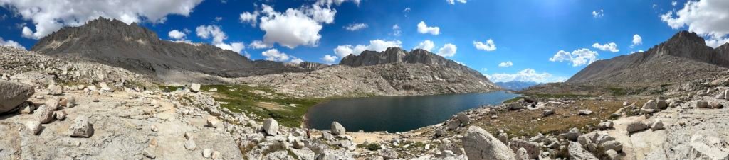
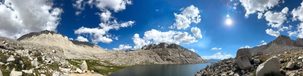
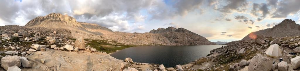
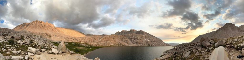
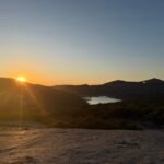
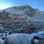
Guitar Lake finally came into view and stunned me with it’s beauty. And with Mt Whitney towering over the eastern sky above it, it was a spectacular sight.

Where is Mt Whitney, you ask?
Right here:

From the west and at this angle, you don’t see the gently sloping crest that leads up to the Summit. The west face of Whitney is a jagged mess of piles of rocky spires and needles that no sane person would try to climb (although some may have tried).
So, the trail and switchbacks going up the west side of Mt Whitney had to be built further south of the main Summit.
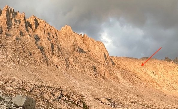
No…. that’s not quite right.
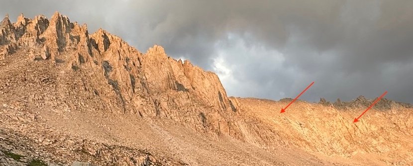
Nope… still not practical to build the trail there. Maybe here?
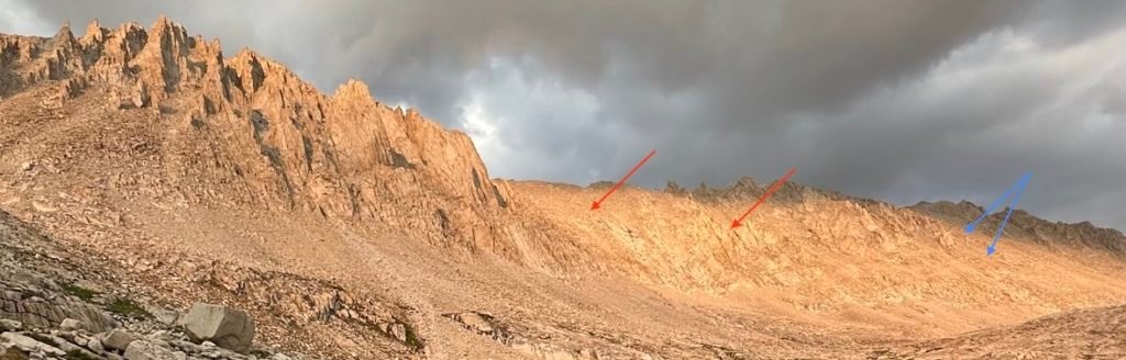
Yup, you have to go south for almost 2 miles to find the 10 switchbacks in the area indicated by the blue arrows that takes people starting from the west side up to the Whitney Trail that then takes people over to the main Summit.
The east approach isn’t any better. The 99 switchbacks on that side reach Trail Crest a quarter mile further south before the two trails meet at the JMT/Whitney Trail Junction and then both trace their path along the crest until eventually reaching the Summit.
It’s like the trail makers hated hikers. 😀
Or just had to do what they could with what Mother Nature gave them to work with.
Just put in an escalator already. 😀 🎢🏔️
While I had thought about carrying most of my gear to the Summit and camping at the top of Mt Whitney or at least at the bivy sites at the trail junction, it was pretty late in the day and I didn’t have time or the energy to continue further.
So, I guess G is also for GUITAR LAKE!
I may have gone a little further east of Guitar Lake if it was crowded, but unlike in 2017 when there were backpackers camped everywhere around the lake and 2020 when there were only half dozen groups there (that I could see), this year there were a manageable number of groups around the lake. That included the pack train group that had stopped in a large clearing to the west of the lake.
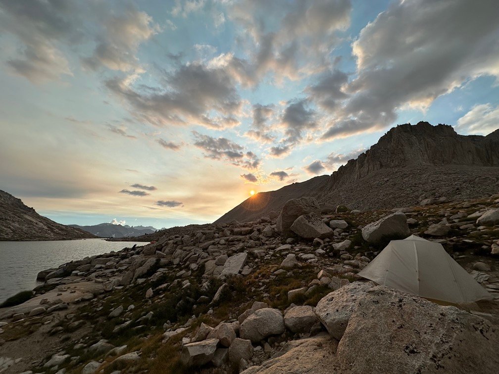
I ended up along the northeastern shore of the lake. Not alone, but not crowded.
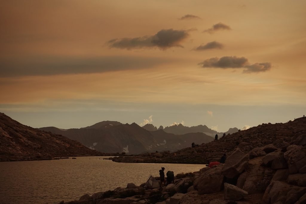
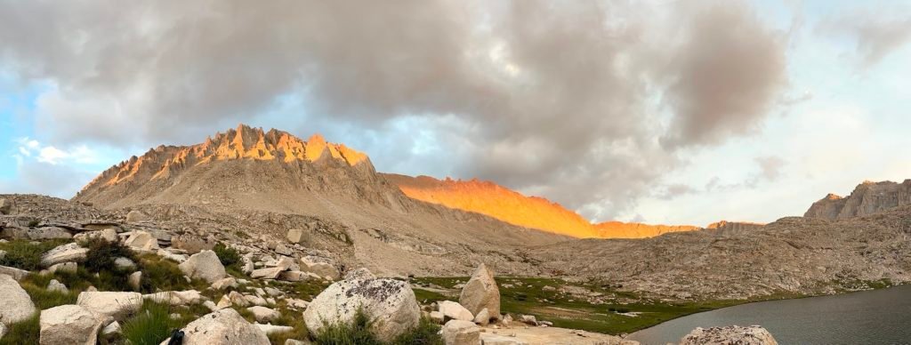
Great view, rocks to help dry my sweat stained hiking shirts, ramen for dinner, and a swim in a nice cool lake… err… too cold, so no swim this day. 😀
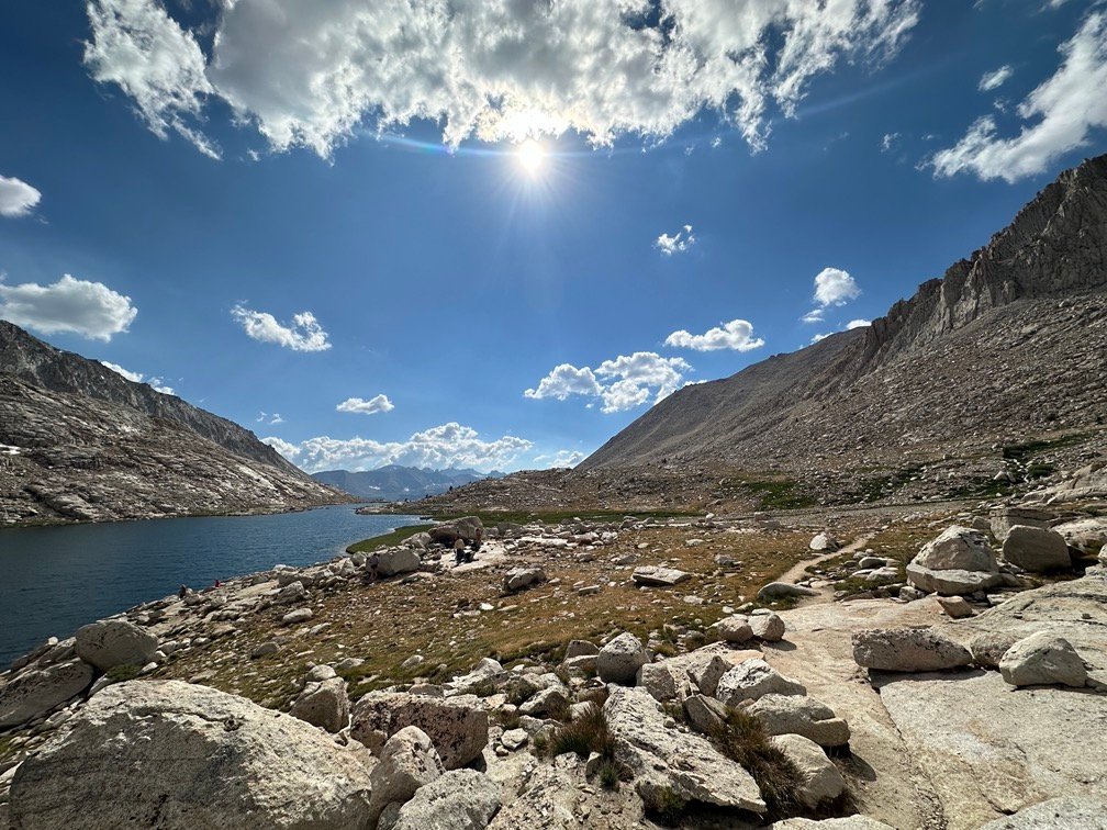
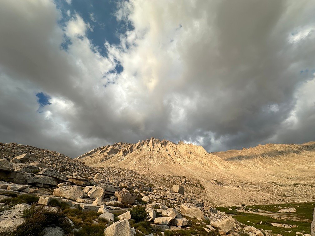
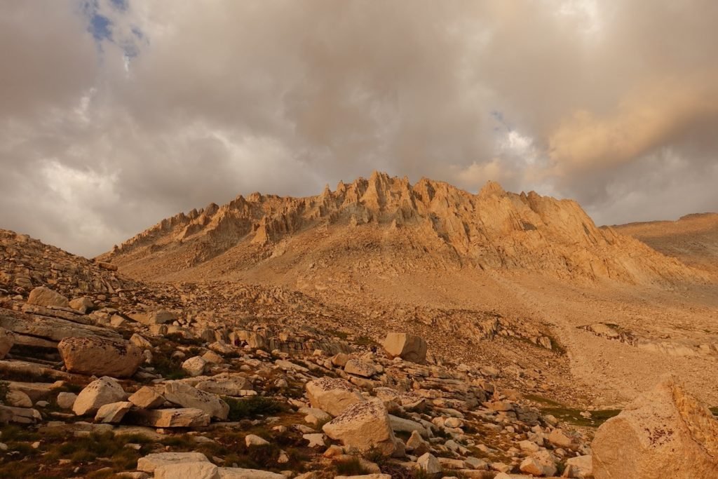
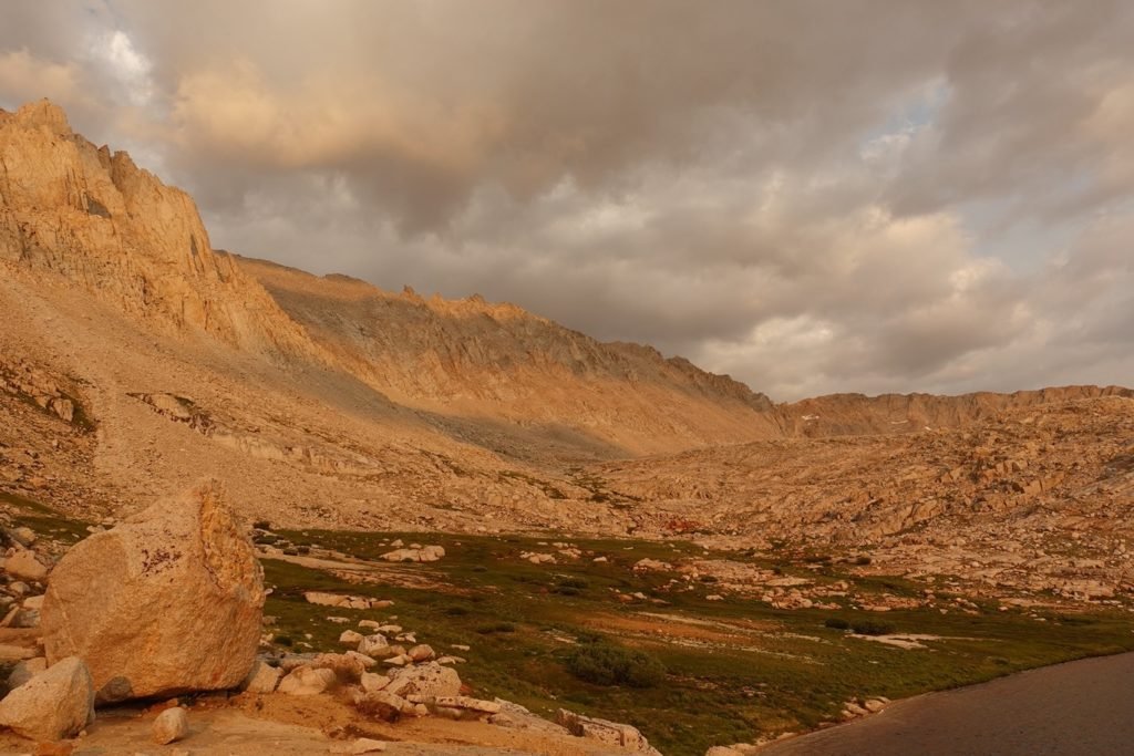
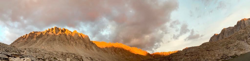
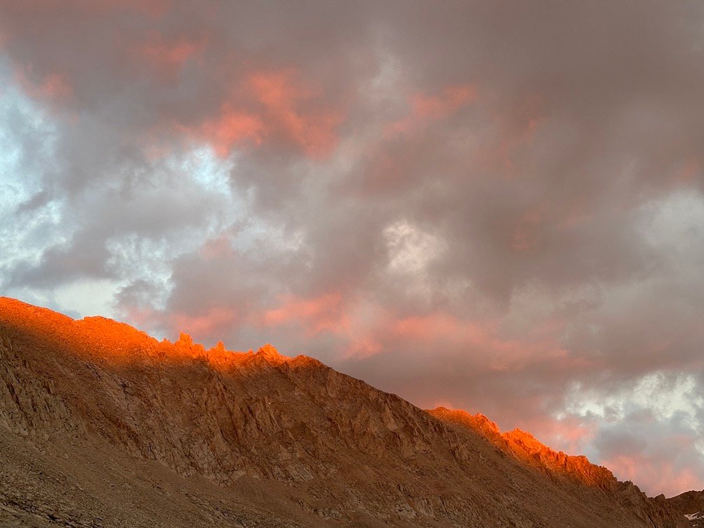
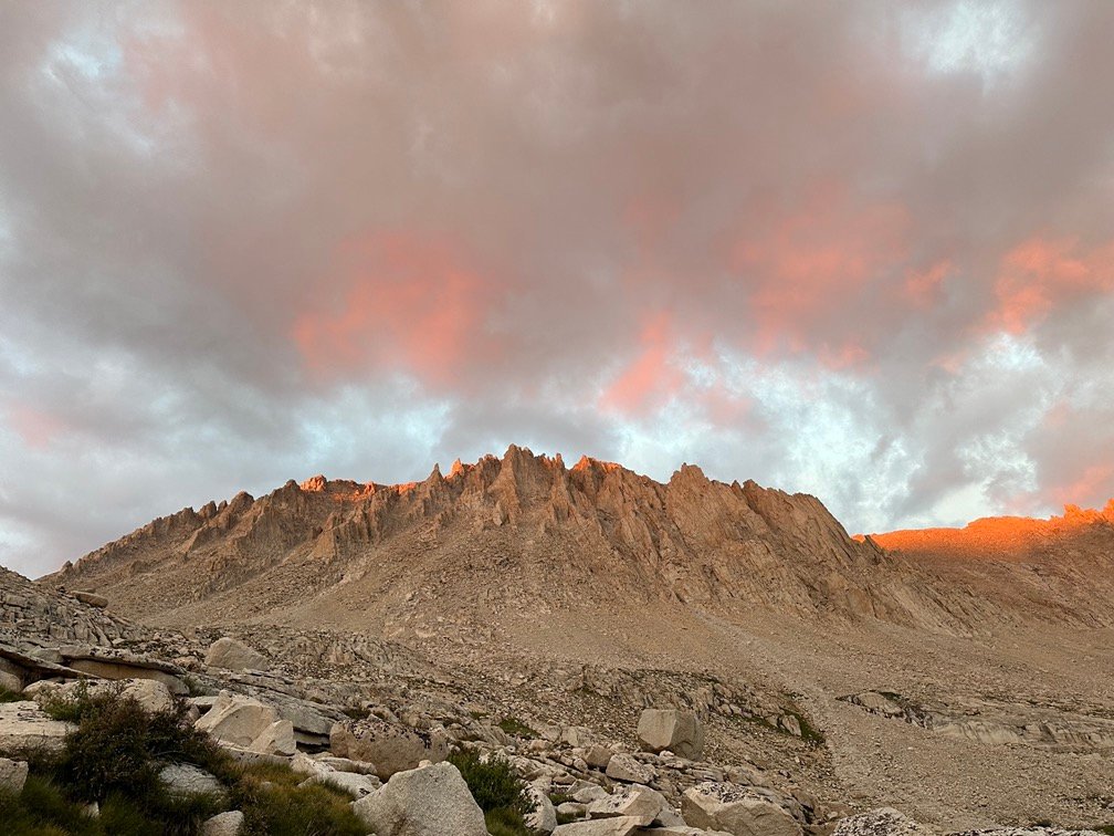
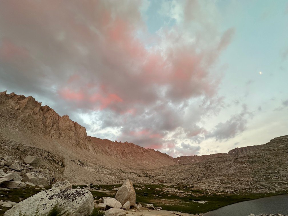
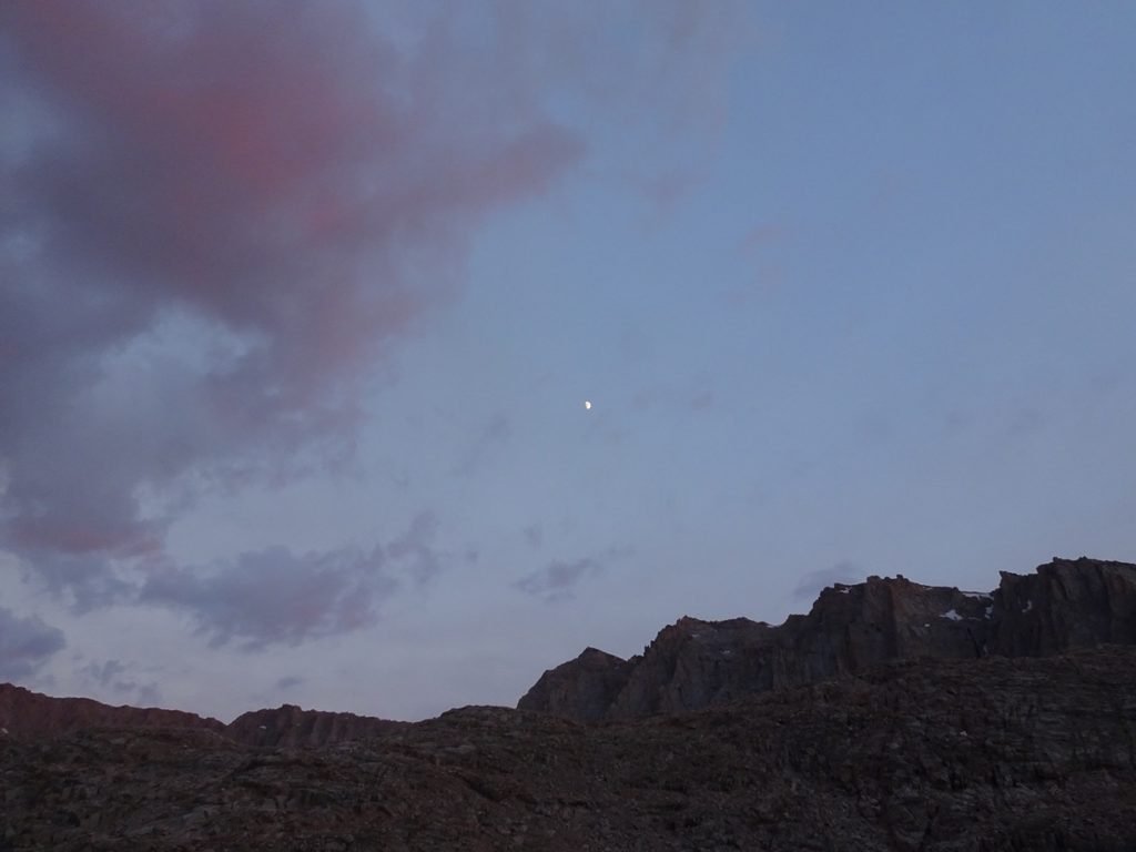
And best of all… the sunsets from Guitar Lake were spectacular and not to be missed!
It’s really impossible to properly describe them, so I’ll let a whole lot of pictures speak for me.

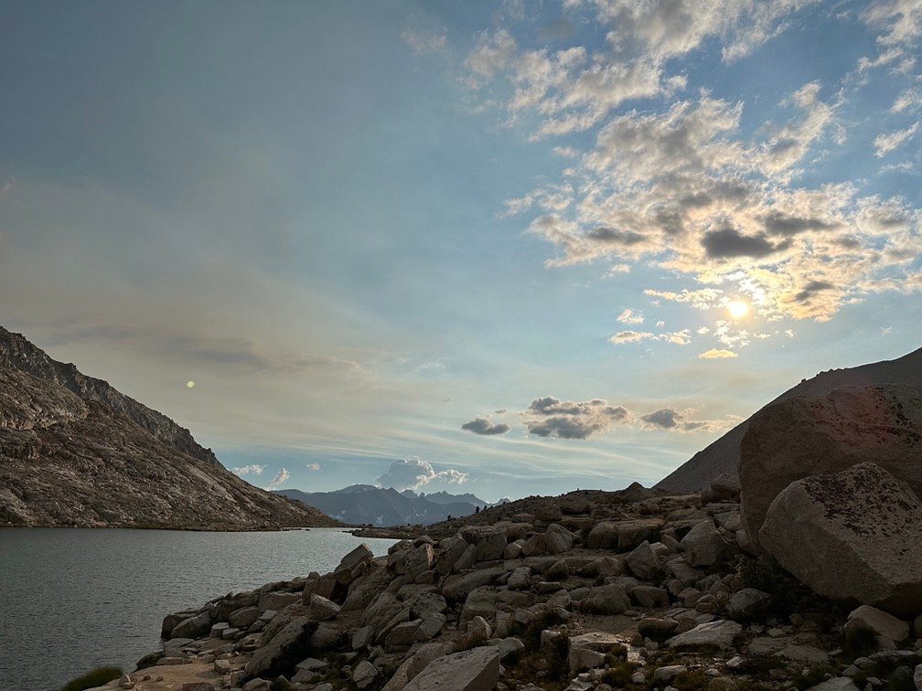
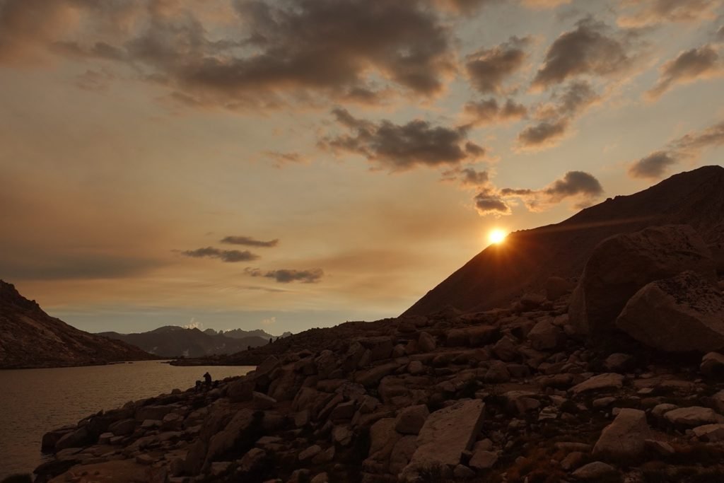
After the Sun set, I even got a glimpse of the rising moon from behind the ridge to the east.
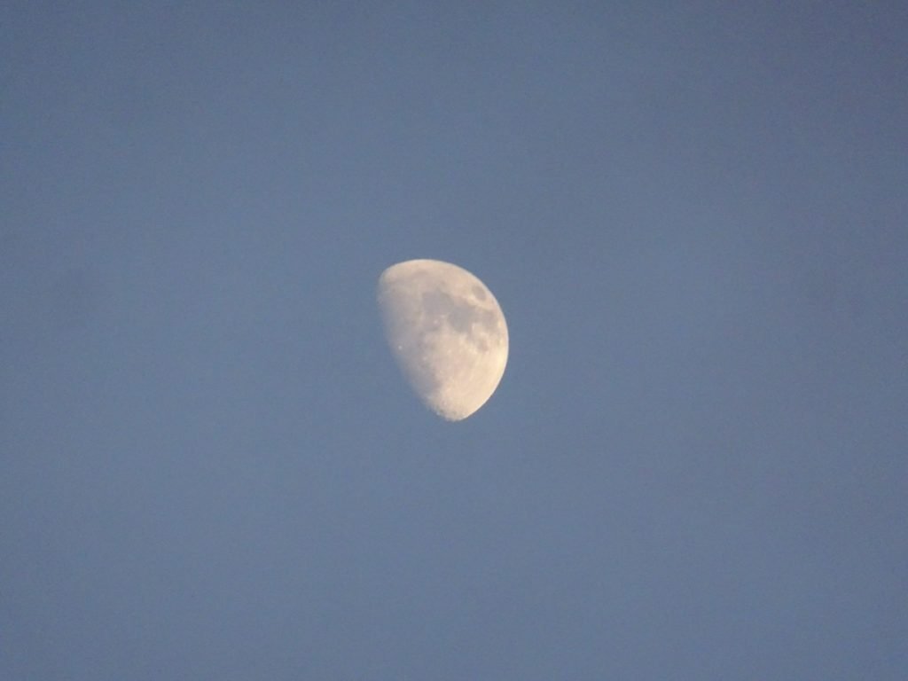
Since I was starting my climb to the Summit from Guitar Lake, I got to bed as early after the light show as I could. While I don’t think I could make it to the Summit for sunrise, unfortunately, I did want to get started upwards before 4 am to give me as much time as possible.
The next goal may be less than 5 miles away, but it was three thousand feet of climbing to reach the Summit of Mt Whitney from Guitar Lake.
Night night.
Goal for the day: Success!!!
Day 15 – 9.65 miles (6 miles on the PCT) – 9 hours 45 minutes
PCT section G – 115 trail miles out of 115 total miles! COMPLETED!!
(mileage and time approximate and based on GPS tracks which may not be exact and include diversions from the trail)


1 Pingback