Goal for the day: Tyndall Creek or beyond
After a great night’s sleep, I awoke and enjoyed the morning light as I ate breakfast and packed my gear.


My permit didn’t allow me to exit via the Whitney Portal, so the next nearest exits were:
- Cottonwood Pass – It’s two nights’ going backwards, but I would avoid the 13,153 foot Forester Pass and 11,709 foot Kearsarge Pass.
- Shepherd Pass – One night away, but a long descent and hard to get back to my Jeep.
- Onion Valley – My intended exit for resupply and a rest. 2 nights away and my Jeep was waiting at Onion Valley for me.
No real reason to change my plans (except to avoid the two high passes, but I felt pretty good at that point). So, I would continue North on the PCT, but had to go West almost 4 miles to get back to it.
As I headed West away from Guitar Lake I saw the pack train group packing up. I said ‘Hi’ and made sure the guide who was sick the day before was okay. He was. They were going to head South to exit from Cottonwood Pass, maybe even making it in a single night since they would be hiking only with day packs.
They were also devils trying to tempt me…
…with a real breakfast.
The inhuman savages. 😀
I did end up taking one sausage, but resisted getting a plate and feasting. It was an epic struggle of willpower over my stomach. If I hadn’t had the Zero Day three days earlier I might have been more tempted.
I said my goodbyes and headed West before the sausage reached my stomach. Best not to give it a chance to change my mind.

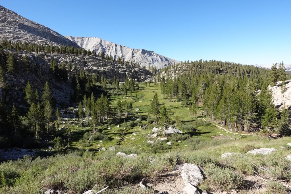
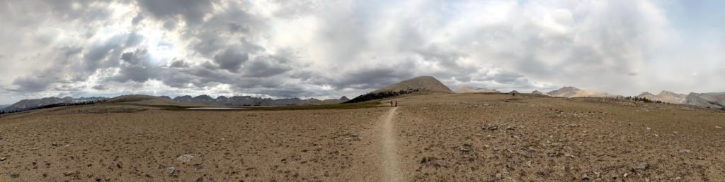
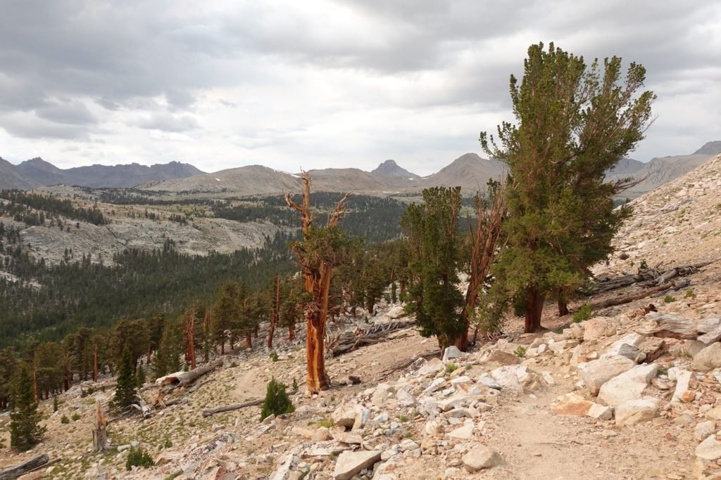
Once I reached the PCT junction, I turned North and started an epic trek along PCT Section “H”. It was a straightforward hike up along some ridges and meadows until the trail climbed up towards Bighorn Plateau.
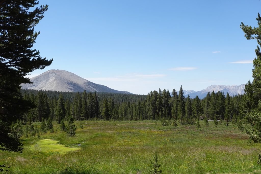
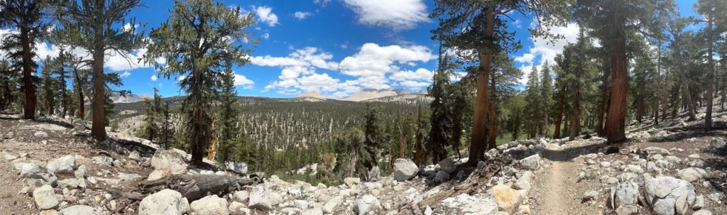
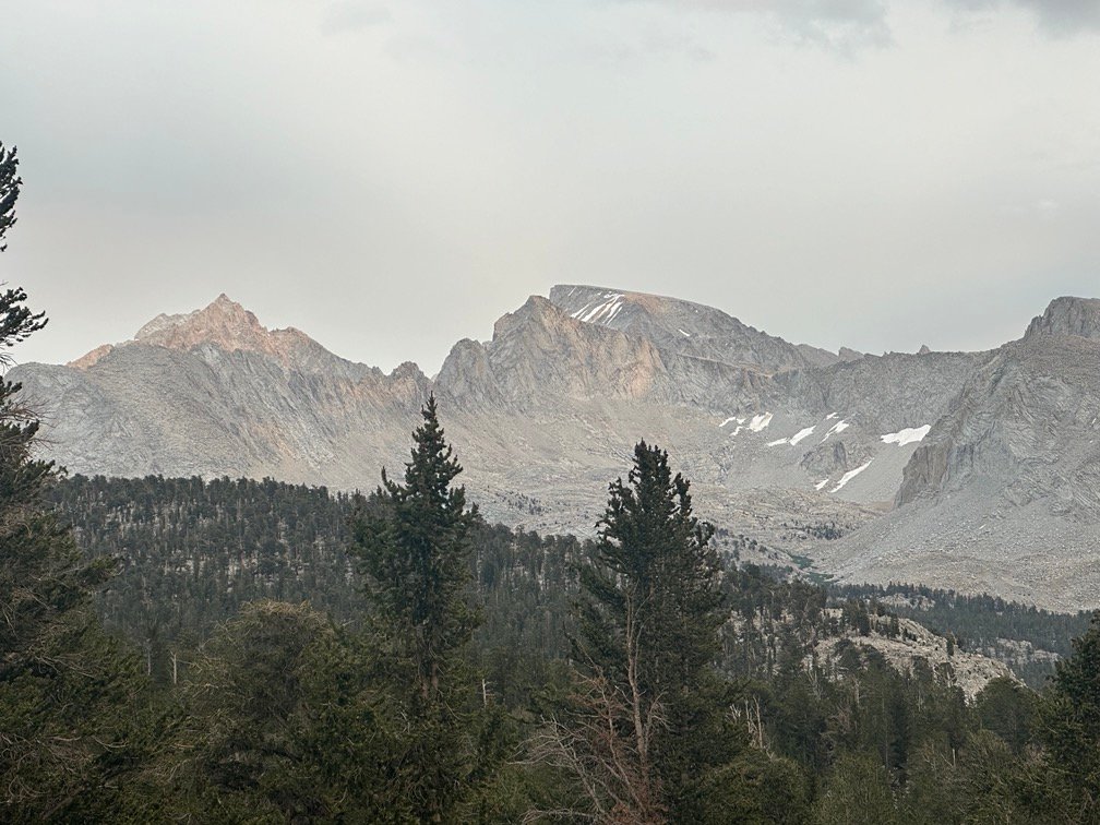
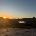
It was a pleasant morning hike and gave me several views back towards Mt Whitney.
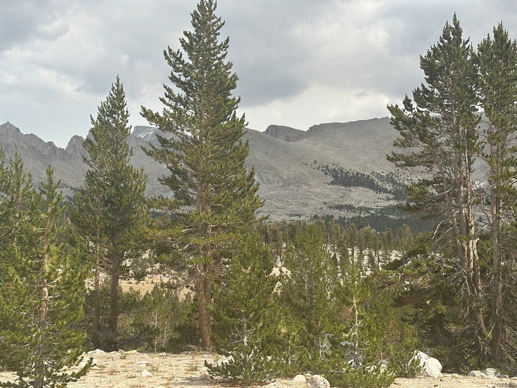


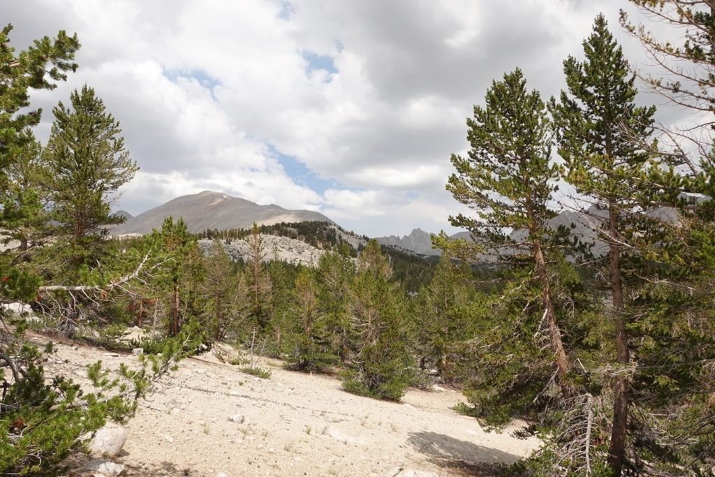
There wasn’t any rain, but the increase in clouds over the course of the morning did worry me. I kept going since there was no other option.
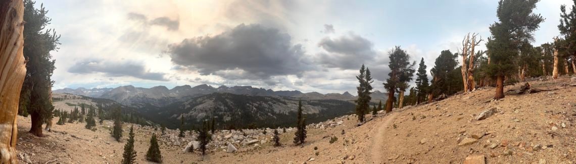
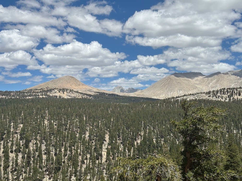
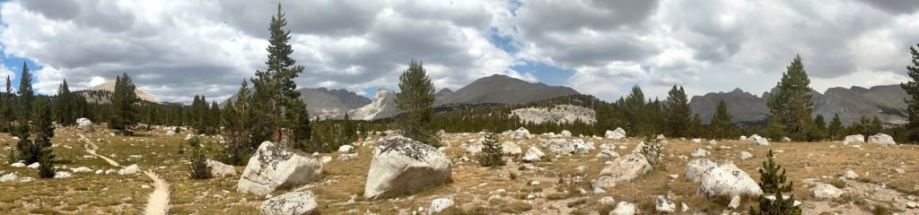
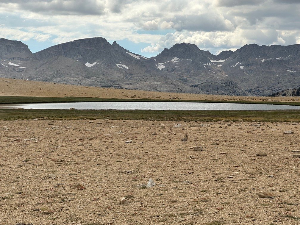
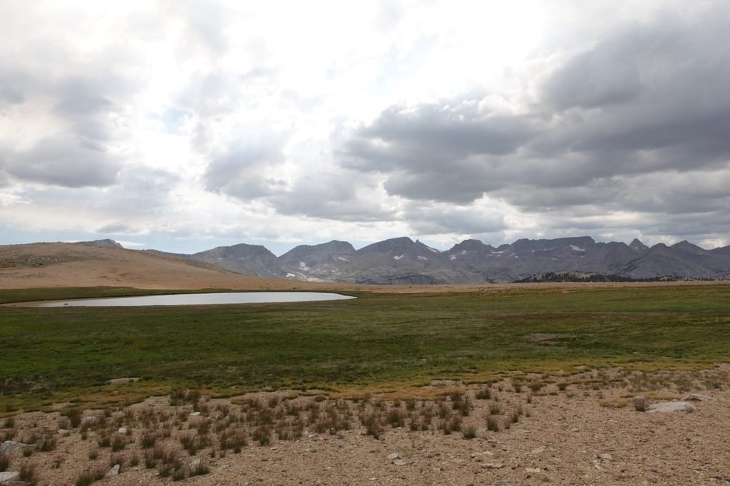
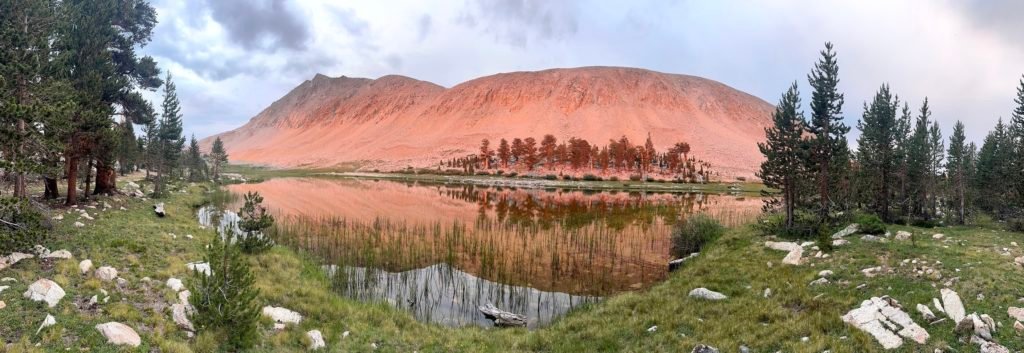
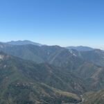
As I stepped onto Bighorn Plateau, the trees parted and gave me a wide view of the area. This was the third time I had crossed this plateau and it was still breathtaking to cross with the 360 degree view surrounding me.

I had considered camping here during planning, but starting from Guitar Lake this morning meant it was still mid-day. So, it would be a chance to do some level horizontal hiking while I enjoyed the views.
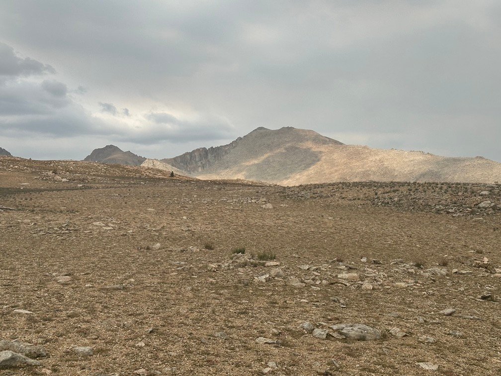
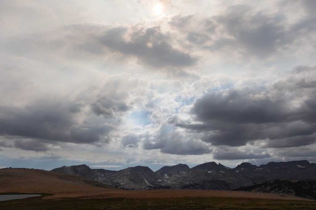

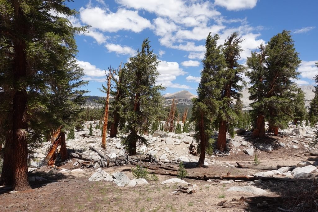
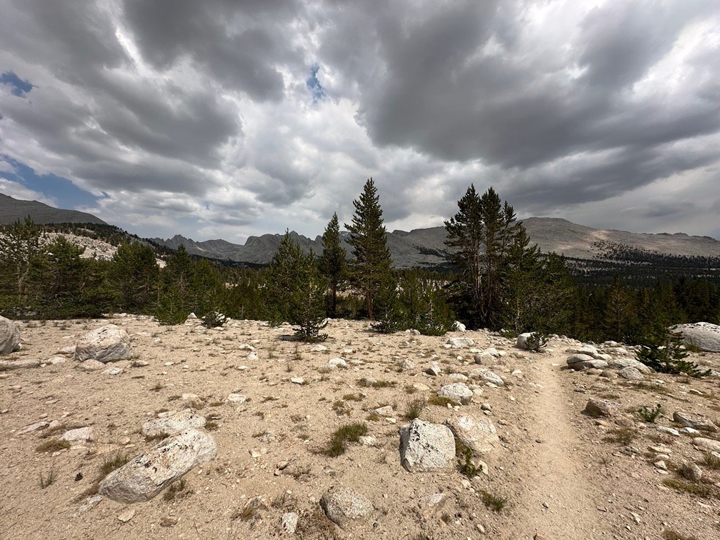
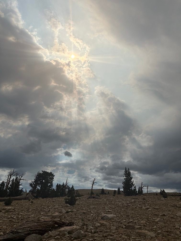
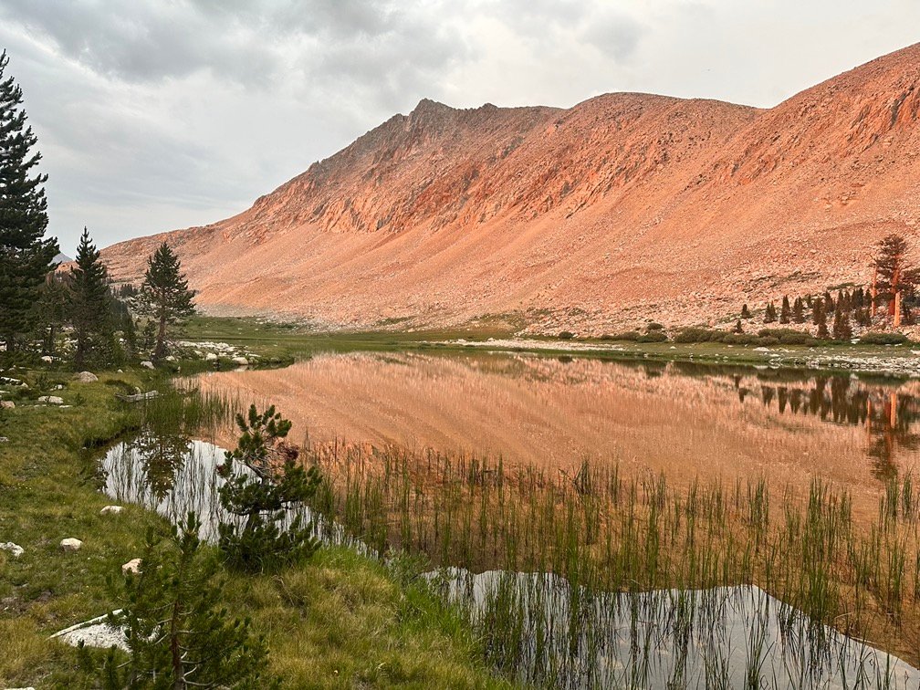
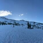
As the trail transitioned to follow the ridge along the side of Tawny Point there was still no rain, but the menacing clouds really were starting to worry me.
But they did make for some nice pictures.


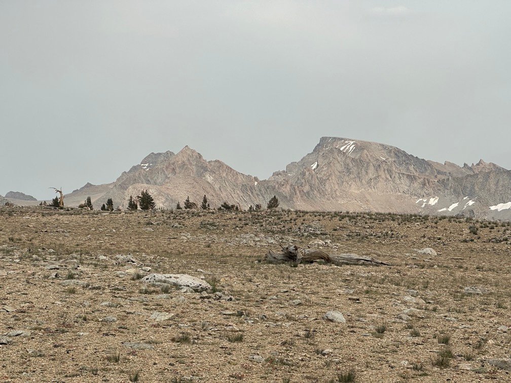
I had hoped to get beyond Tyndall Creek and as close to Forester Pass as possible.
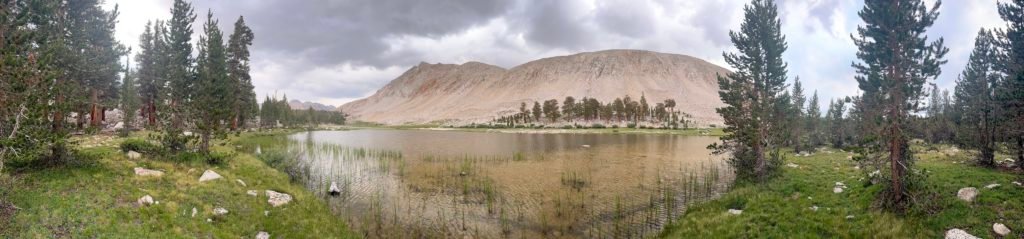
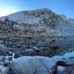
By the time I reached the Tyndall Frog Ponds it was starting to get late and I had felt a few sprinkles. I didn’t want to push my luck and I knew after the creek there wasn’t any kind of tree cover for the most part. So, although I had stopped at the ponds during my JMT Southbound trek in 2020, I decided that I should stop for the day.
The campsites near the trail where I had camped back then were occupied, so I went further from the trail where I knew there were more sites. The first group of sites was all exposed and didn’t have anything of a view, but I went a little further and found a nice site that was far enough from the pond and had an open view to the East.

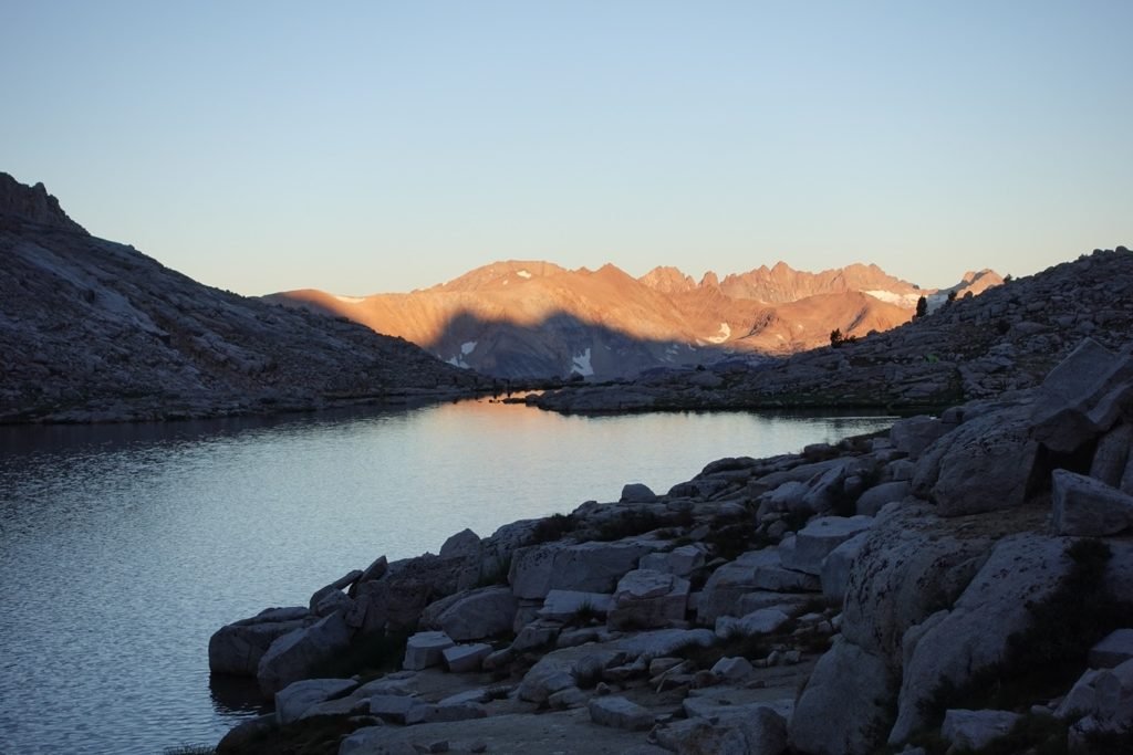
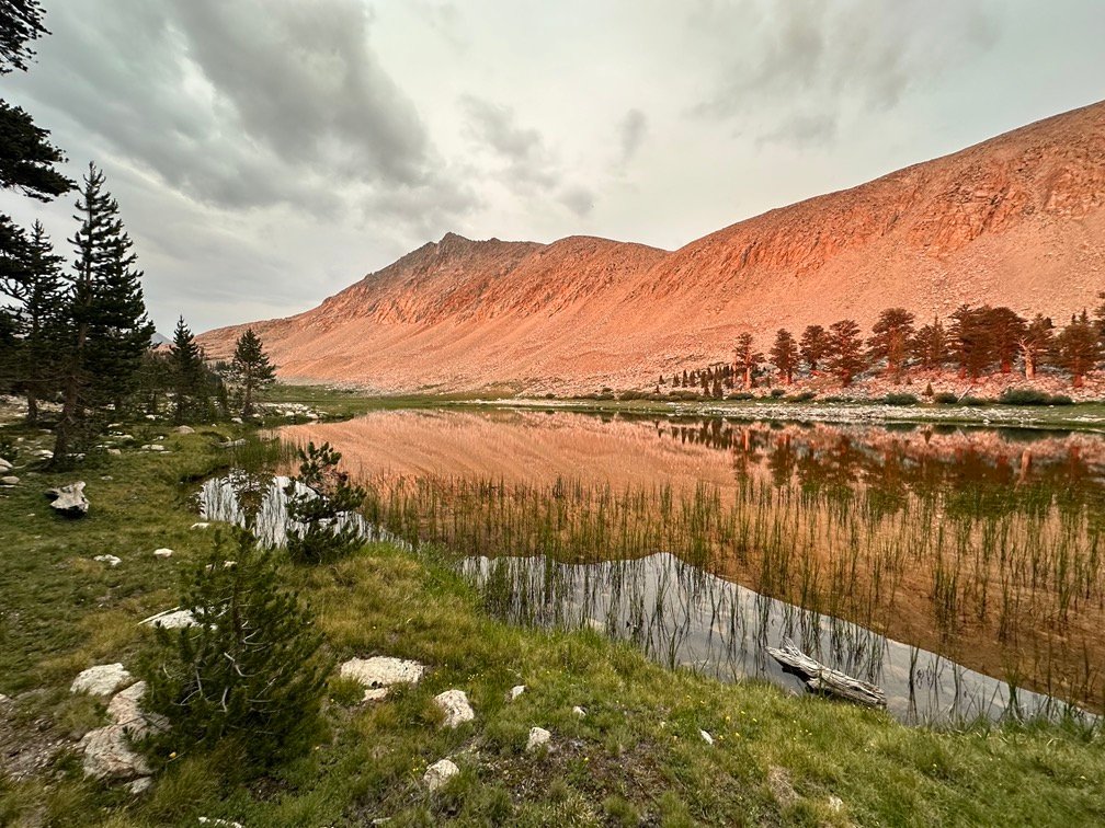
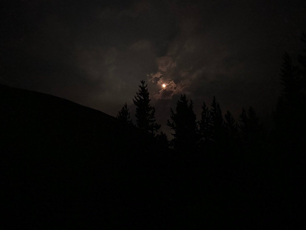
Despite the dark clouds everywhere, there wasn’t any rain that evening. The clouds even parted enough to give me some light at Sunset. I didn’t have much of a view of the setting sun, but the Sun’s last rays of light did give me a light show against the ridge to the East.

Inside my tent after dark, I was surprised when a golden glow returned. Poking my head out, I saw it was coming from the East. At first, it was covered by clouds, but then the Moon poked out of the clouds.
The color was still a bit odd, but I realized it’s location low in the sky and clouds contributed to its orange color. Kind of a nice way to end the day.

Goal for the day: A little short of Tyndall Creek, but close enough.
Day 1 – 12.09 miles – 10 hours 55 minutes
PCT section H – 7.1 trail miles out of 175.5 total miles

(mileage and time approximate and based on GPS tracks which may not be exact and include diversions from the trail)


1 Pingback