Goal for the day: Climb over Pinchot Pass
Before Sunrise, comes the Moonset…
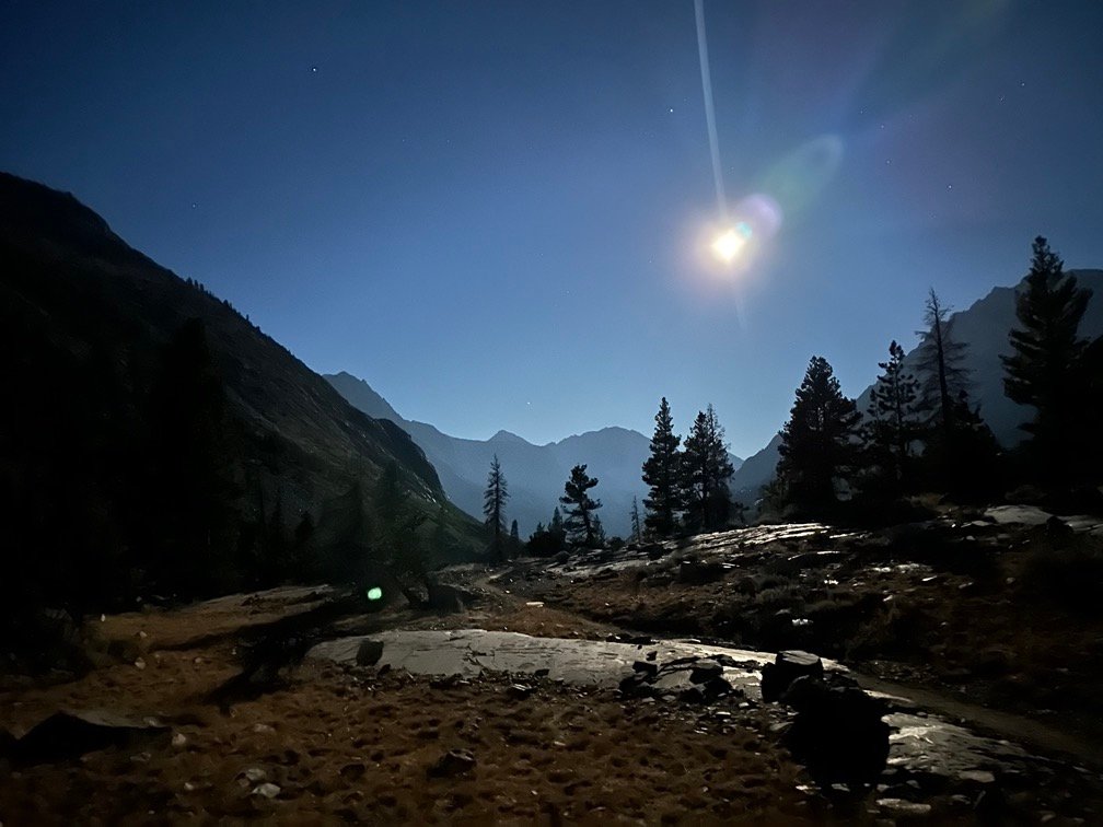

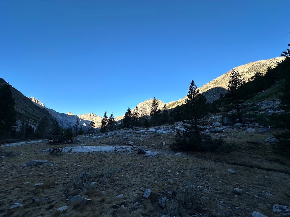
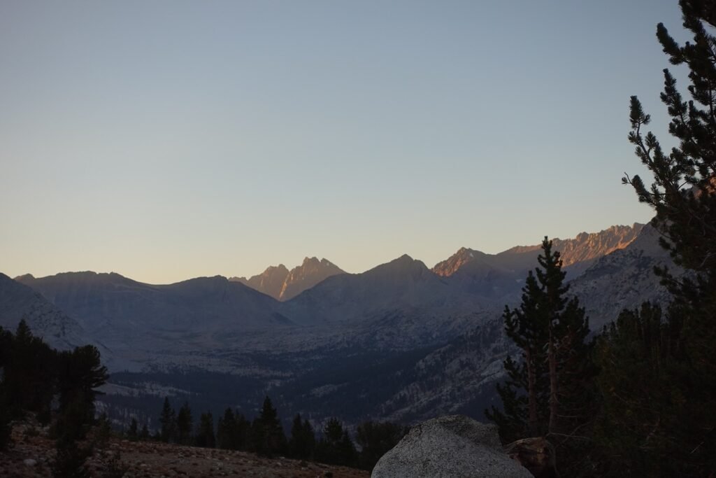
I was glad that my campsite turned out to have some nice views to see both.
Unfortunately, the steep canyon would mean a steep climb up towards the next pass: Pinchot Pass (12,090 feet)
This pass had been a pretty easy pass to climb when I went Southbound on the JMT in 2020, but I knew it was going to be a bit harder going Northbound. Between Glen Pass and Woods Creek Junction was a 3,500 foot descent. Easy.
But then it was another 3,500 foot re-climb up to Pinchot Pass, the first of TWO almost four thousand foot descents and re-climbs going Northbound on the JMT/PCT. The second one was a real four thousand foot descent and re-climb between Mather Pass and Muir Pass that was only a day and a half ahead of me. I’d read about people who could do the Glen-Pinchot-Mather-Muir pass hike in 2 days. I was not one of those people. I’d be lucky to cover that stretch in 4 days and that’s why I considered this section one of the hardest parts of the JMT (and maybe even the PCT).
Fortunately, I had climbed about 700 feet up the canyon the previous day, so it was ‘only’ about 2,800 feet that I had to climb this day to reach Pinchot pass. I had a craving for French Fries that morning for some reason. 😀
The first part of the climb along Woods Creek that morning was pretty steep, but had some nice waterfalls and other views to soothe my soul as I slowly–but steadily–made my way up.


The trail did grow less steep as it turned away from Woods Creek, but still had some very rough terrain to navigate.

One interesting change in this area was the more common gray Sierra granite color of the surrounding mountains was joined by an assortment of browns and blacks. Sometimes in the same ridge line.
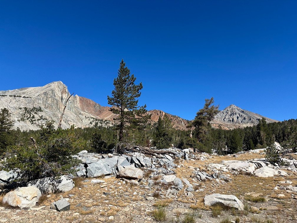
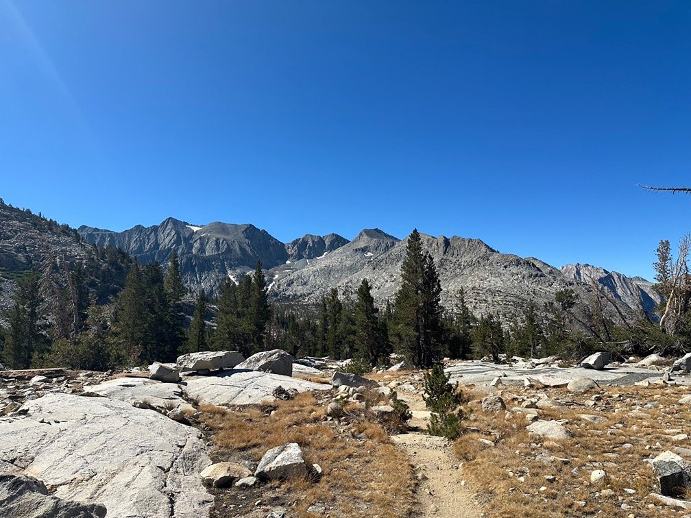
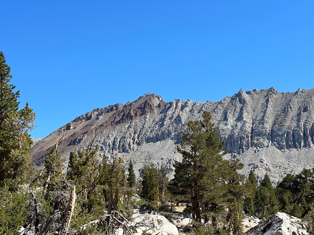

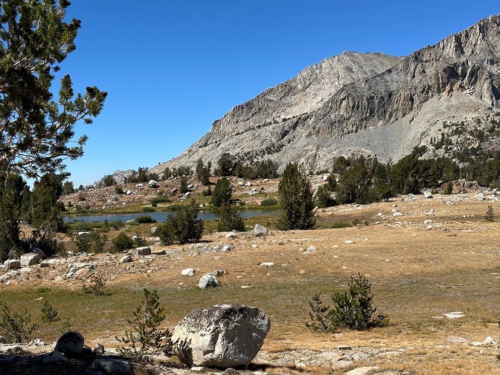
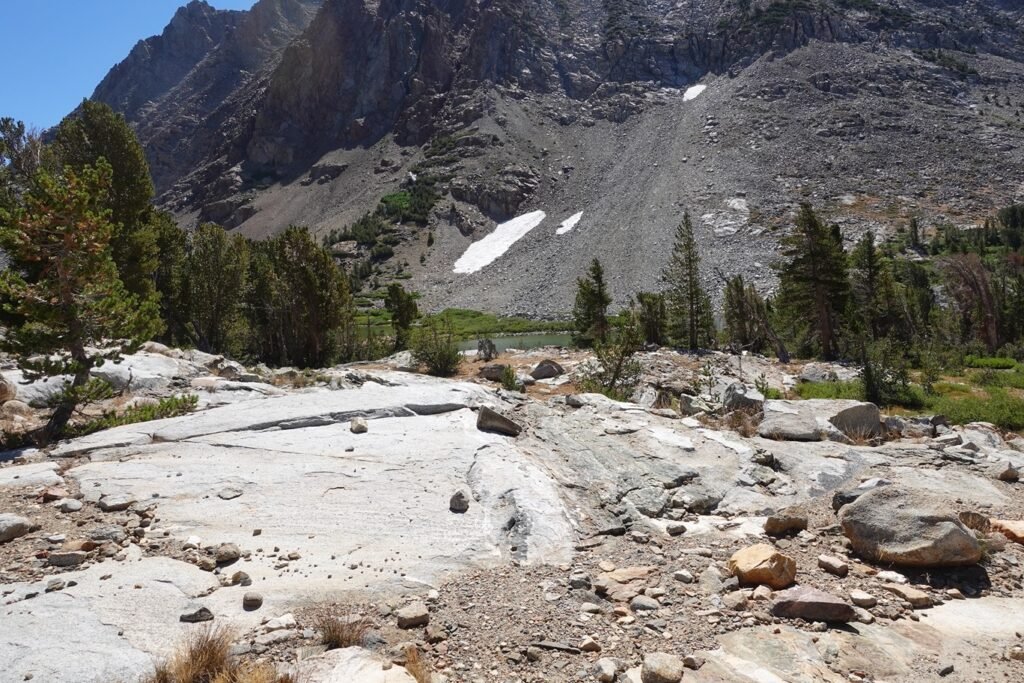
You’d think I’d be happy when the ridge holding Pinchot Pass came into view, but unfortunately I knew it was still going to be a long slog up to the actual pass from where I was. I hadn’t had too much trouble descending this area in 2020, but that was ‘down’. ‘Up’ can be much harder depending on the terrain and your physical condition. I was still feeling pretty good since it was only my third day back on the trail, but the terrain still took time to navigate and ascend.
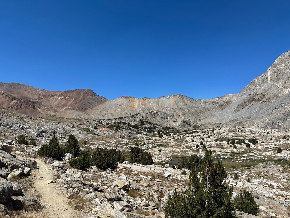

I was very happy when I reached the final approach to Pinchot Pass, only to be fooled by the two or three false passes you encounter climbing up from the South.
Never noticed those on the way down, but then that’s the way your eyes can fool you even if you pay close attention to the map’s contours.
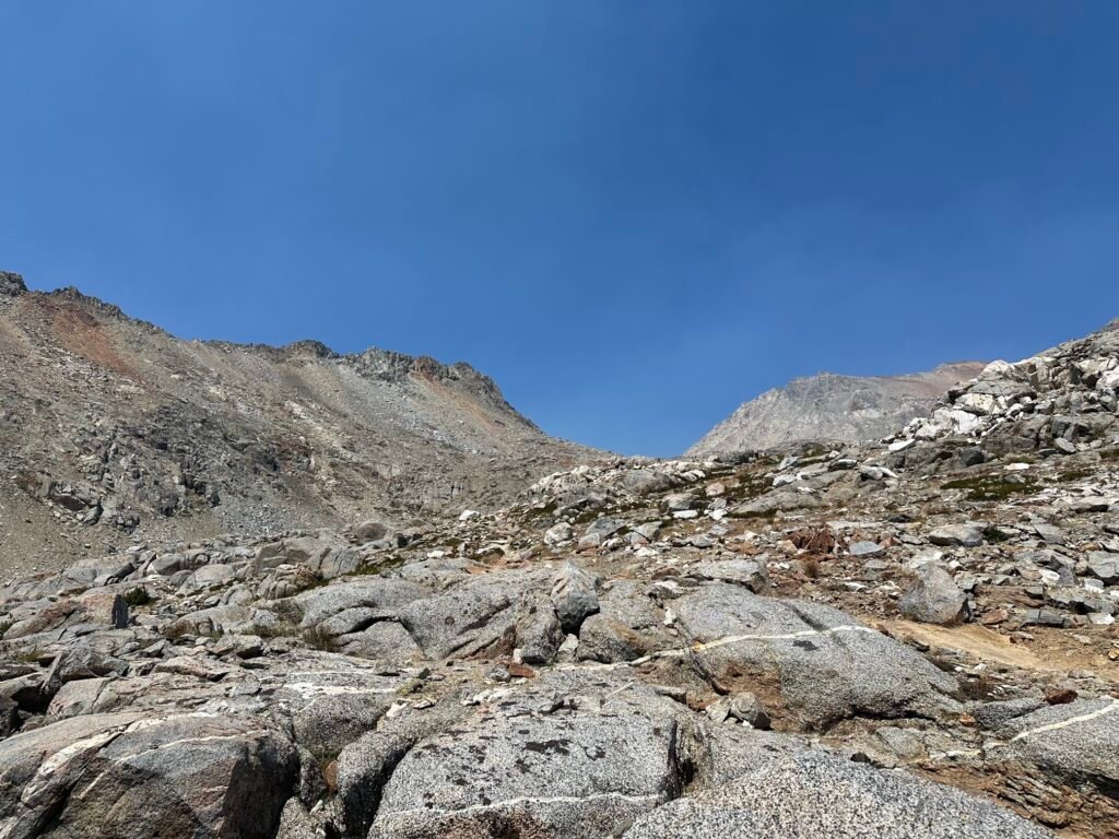
It was mid afternoon when I finally reached to top of Pinchot Peak!!
A long, hard victory for the day! I celebrated by taking some pictures and collapsing to the nearest rocks and getting a good long rest as I enjoyed the views on both sides of the pass.


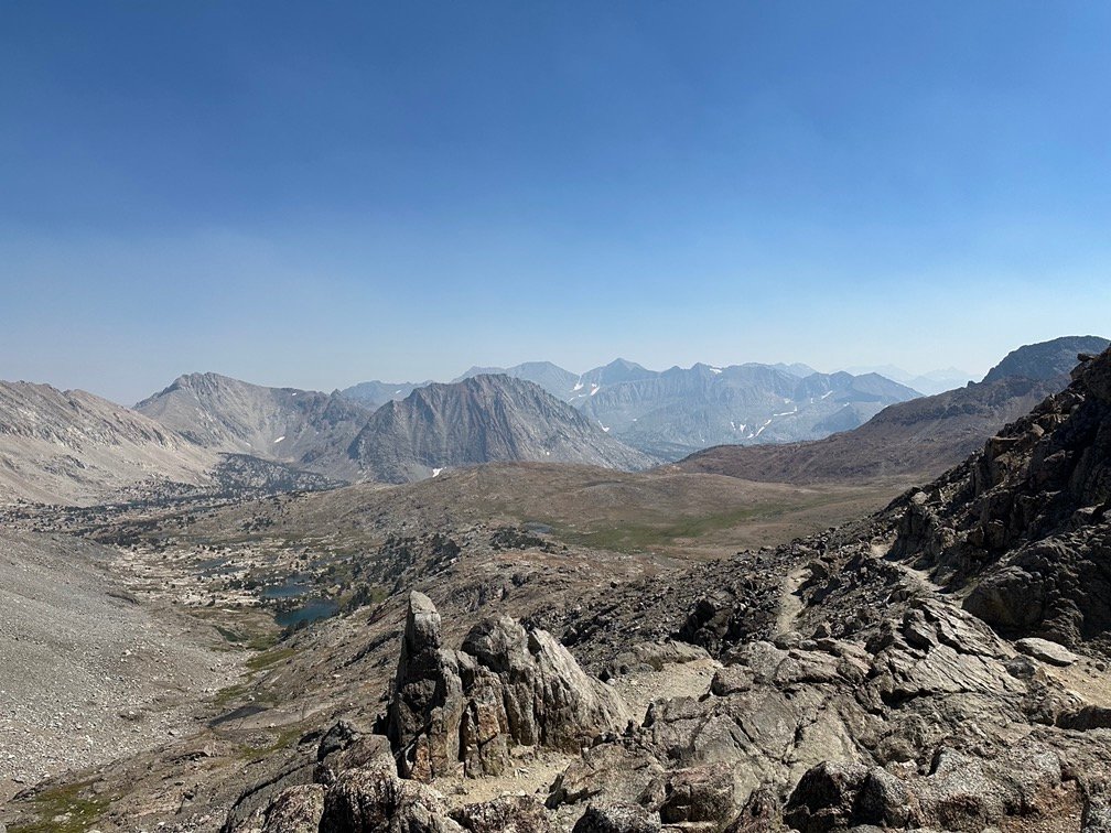
One of the interesting things about Pinchot Pass, is you could visually trace the route the JMT/PCT took from where you were across the large basin that connected it to the next pass along the trail: Mather Pass
While Mather Pass was not quite visible from this pass, you could pretty much compare the view to the North to your map and see where the trail descended along some beautiful alpine lakes, through some trees, and up through meadows towards the next pass. I had seen the same thing from Mather Pass four years earlier. The basin made the path to the next pass very obvious, even if the actual pass wasn’t directly in view.
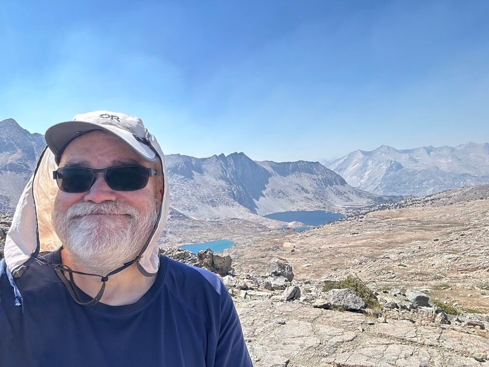

I had hopped to get very close to Mather Pass after reaching the top of Pinchot Pass, but the mid-afternoon arrival at the pass meant that I was unlikely to get much further than the Bench Lake Trail junction where I had been stopped by constant rainfall during my Southbound JMT trek. If not for the rain, I may have been able to handle climbing over BOTH Mather and Pinchoit Passes that time.
But I knew I wasn’t going to be able to do that this time when starting out that morning.
It would have been nice to get further through the basin, though, to get a different view of the basin at Sunset and Sunrise. I decided to just see how far I got before deciding where to camp.
The two big lakes closest to the pass would have been great places to camp for the evening, but I decided to get a little extra distance in when I passed them.
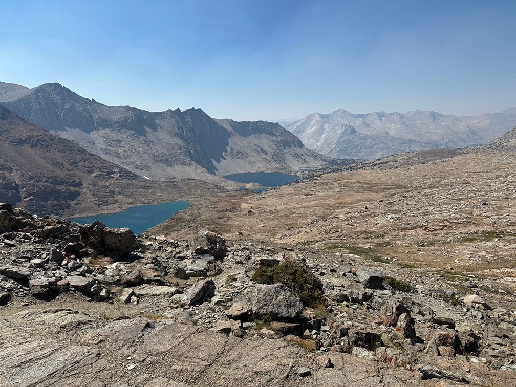
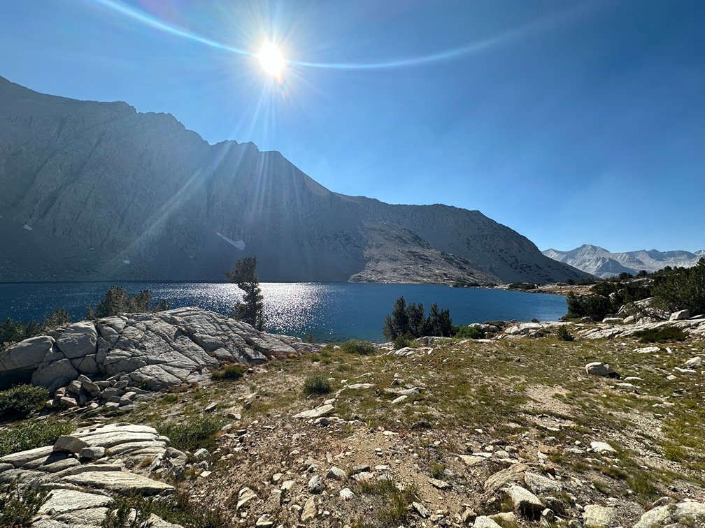
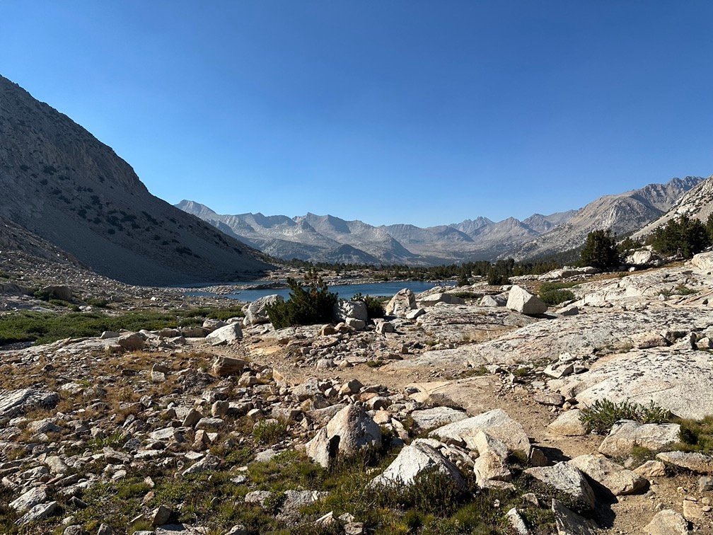
As chance would have it, I started to run out of steam close to where I had stopped during my JMT trek. I may have been able to go another mile or so, but that would put me down in the trees along a creek that crossed the basin.
I chose to stop at last in the string of lakes along the trail that had a pretty good view of the basin. Maybe only 500 feet from the place I had camped the previous time through this basin.
Similar, but a little more wide open of a view. But at least this time I didn’t have to choose this campsite in the middle of a downpour.
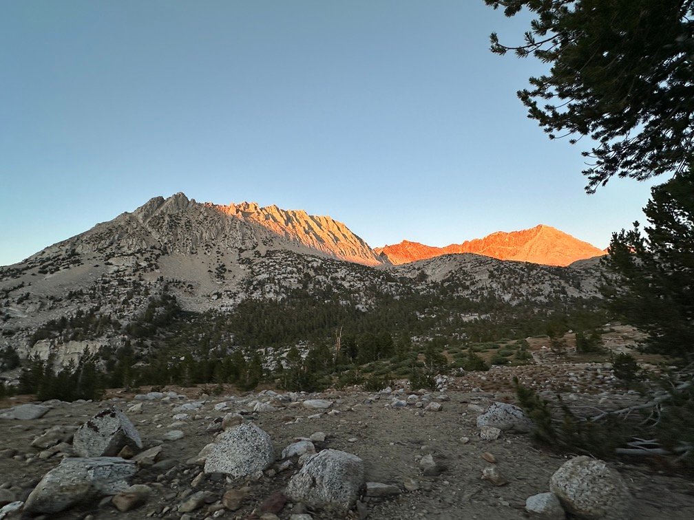
My sadness of camping in the same area was quickly erased by the great light from the Sunset that I enjoyed over dinner and a dry night around my tent.

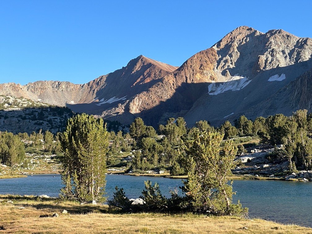


It was hard to be sad with views like these, after all.

Scorecard for Pinchot Pass (12,090 feet) after 2 times to the top:
| Climbing North side of pass | Easy (1x) |
| Descending South side of pass | Not too bad (1x) |
| Climbing South side of pass | Hard (1x) |
| Descending North side of pass | Easy (1x) |
Goal for the day: Success!
Day 7 – 8.9 miles – 10 hours 10 minutes
PCT section H – 42.7 trail miles out of 175.5 total miles
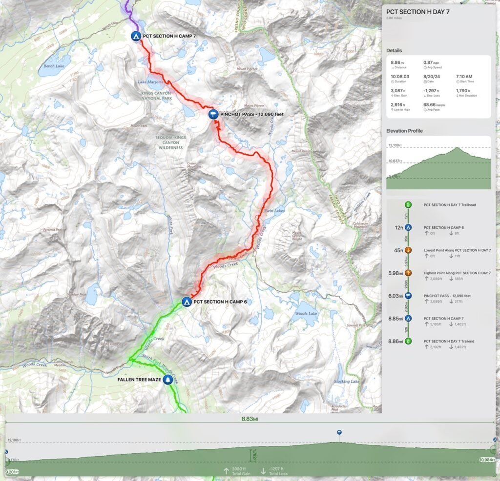
(mileage and time approximate and based on GPS tracks which may not be exact and include diversions from the trail)




Comments by WanderingJim
JMT 2020 Day 3
"I'm afraid I have no idea. Not really a fisherman, so don't..."
JMT 2020 Trek Day by Day
"Yeah, but with 9,000 pictures, it's hard to label each one..."
Kilimanjaro – October 2019
"Everest Base camp is on my list too. Mostly since I know..."
Kilimanjaro
"You started hiking with Kilimanjaro first? Even I worked my..."