Goal for the day: Get over Mather Pass and to Palisade Lakes
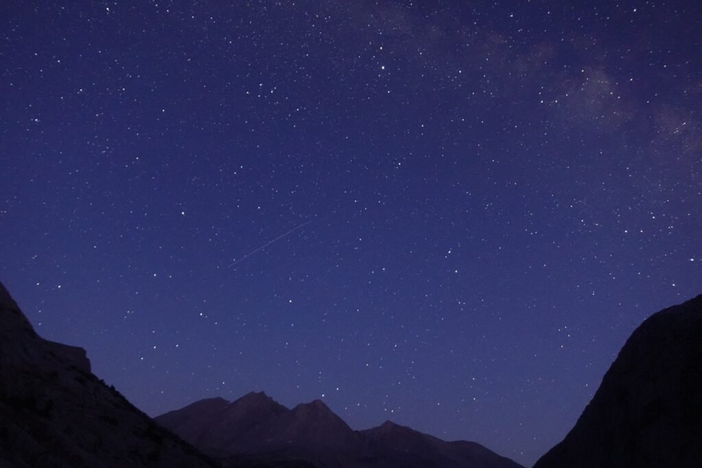
The almost-full Moon gave me some light through the night and even helped cast some light on the ridge lines to get some nice pictures of the ridges and stars together (sometimes you can only get one or the other, but when the lighting conditions are just right, magic ensues).


The Moon even stuck around for a bit during Sunrise.
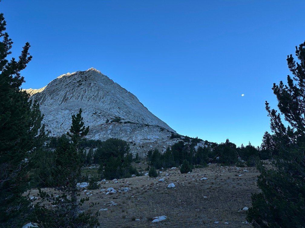
As usual, I enjoyed the light from the Sunrise and hit the trail. The basin between Pinchot and Mather Passes helped cast light on all sides of me as I started North towards Mather Pass.


As I descended into the trees surrounding the South Fork of the King River, I enjoyed the nice dry walk. It was a nice change from the downpours I had to hike through the last time.

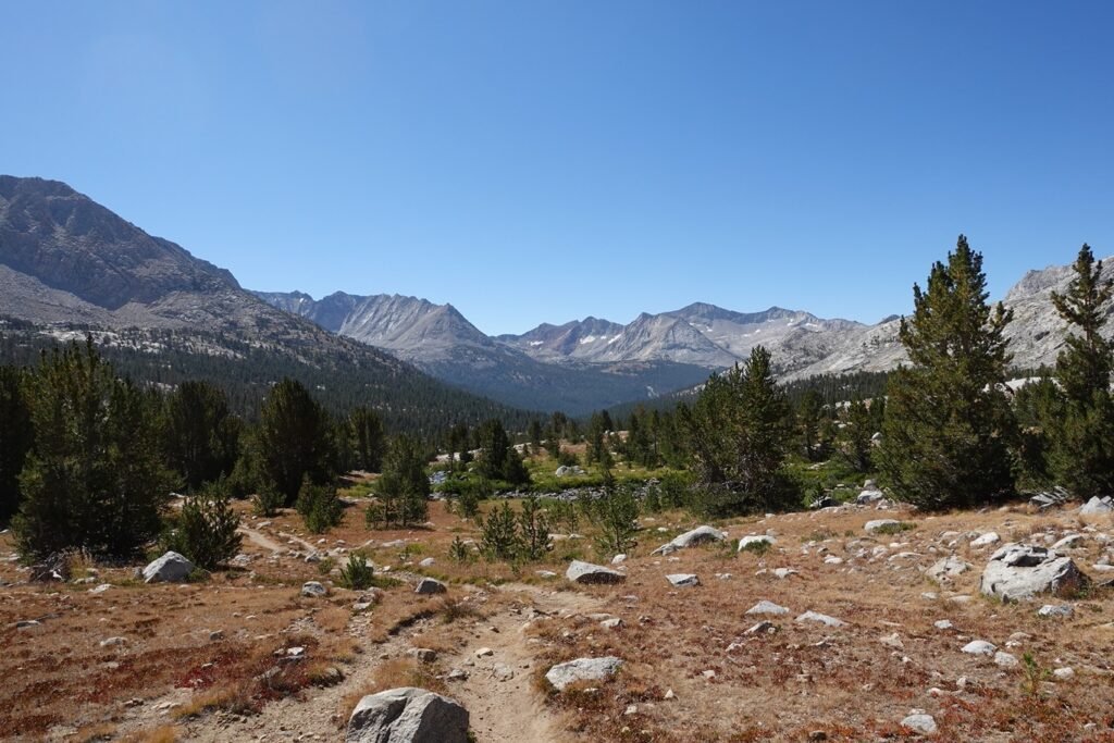
Since it was ‘only’ about a 2,000 foot drop between the two passes and 9 miles between the passes, the climb up to Mather Pass wasn’t hard, but just took some time.
The trees gave way to meadows, which eventually gave way to a rocky plateau leading to the pass.


Like many passes, the fist sight of the pass and actually reaching the pass was separated by a long stretch of trail. Fortunately, this one was mostly a gentle stroll up though the basin towards the base of the final switchbacks.
Like Forester Pass from the South, the switchbacks on the South side of Mather Pass took a sharp turn towards the right before heading left beneath the pass itself and zig-zagging up the left side until it reached the pass.
The pass is directly in the center of the photo below, but the trail first heads to the right (off the side of the photo), before crossing back far to the left about mid-way up the side of the cliff side. Trust me, it’s there if you look closely.
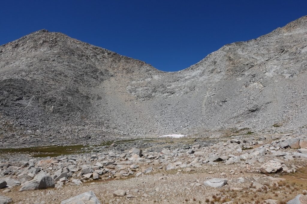
The long stretch in the middle follows along the blue line below. The other switchbacks… are not easy to make out in most of my pictures from below, so I won’t even try.

But once you are climbing them, you start to see the method to the switchback maker’s madness. If you didn’t, you’d go mad yourself. 😀
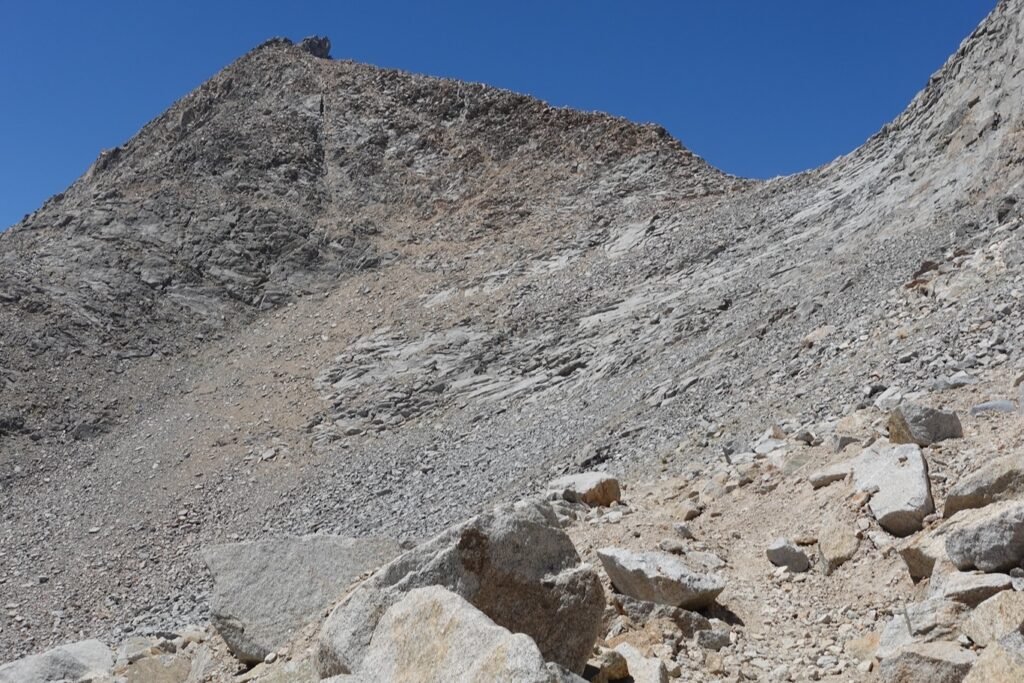

Of course, looking back once you’re nearing the top usually reveals the switchbacks in all their agonizing glory.
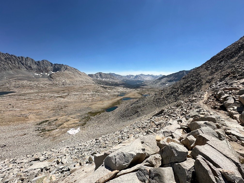


But, these switchbacks were very easy to climb and only made me swear a couple times, so overall a good day climbing.
Reaching the pass, I marveled at the view all around. I could see Palisade Lakes below me to the North, my goal for the day. Couldn’t be more happier to see them than I was at that time.

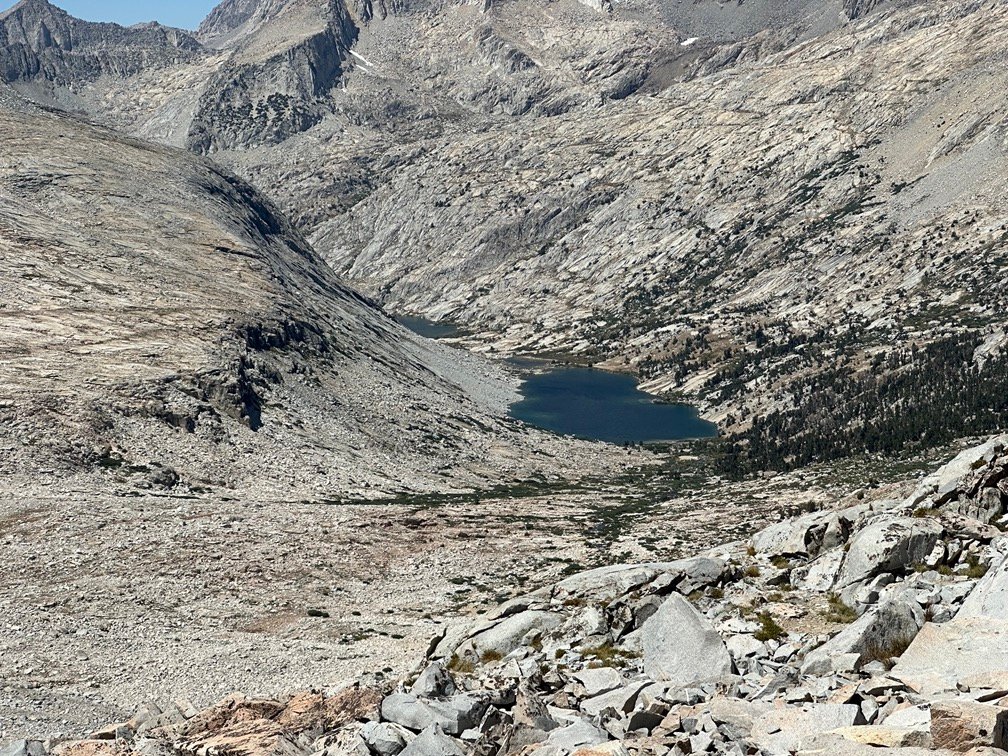
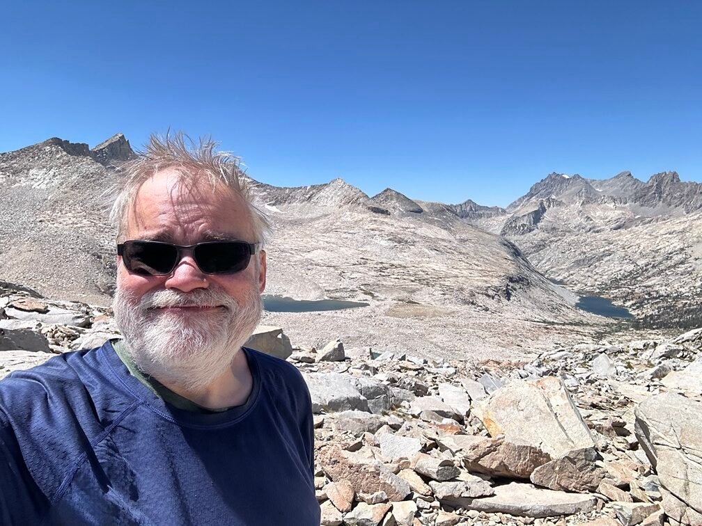

I don’t really think the Southbound climb from Palisade lakes up to the pass from the North side was that much different than the climb up to the pass from the South side. The length, steepness, and type of terrain to climb was pretty similar, so I’d have to give an equal grade to Mather Pass regardless of which side you climbed it from.
Granted, Palisade Lakes was only a third of the way down towards the low point between Mather and Muir Passes (Palisade Creek Junction), so the entire 4,000 foot climb from the low point to Mather Pass was much harder when taken together… especially with the horrible Golden Staircase switchbacks to climb (the thought of descending those the next day was enough to make me want to turn around 😀 ). Fortunately, I had taken that 4,000 foot climb over two days in 2020 and planned to do the same for the descent and re-climb this year.
As I made my way down, Upper Palisade Lake came into view.
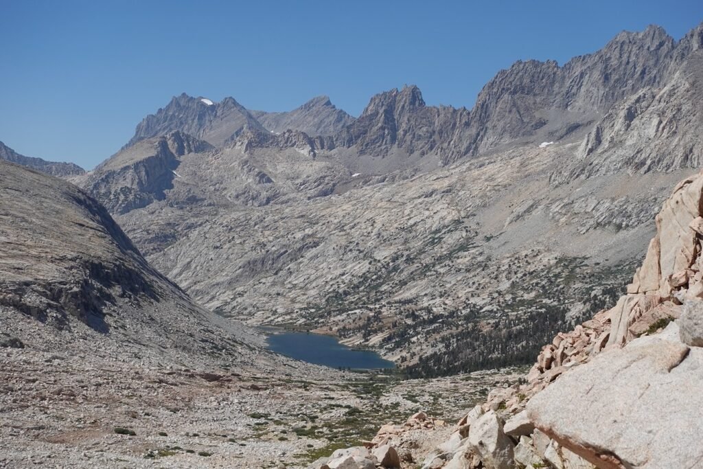

As I passed by the lake on the trail I did look for a good campsite, but most of the ones I saw had obscured views or required a long descent from the trail to be near the lake.

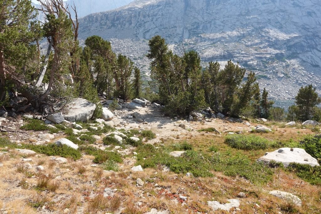
So, I decided to continue down to the lower lake. Even if it meant similar views to the last time I passed by this area in 2020, they were spectacular views.

As I neared the shore, I kept my eyes out for possible camping spots that would be a good place to stop. I did see a couple on the way down, but decided to continue to the campsite I had stopped at in 2020 to see if it was available.


At first, I didn’t see any sign of anyone up on the hillside where the campsite was, but as I climbed up towards it I saw someone sitting on the rocks. Sadly, the golden spot was taken. I said ‘hi’ as I passed him, only grumbling a little bit that he was in ‘my spot’. 😀
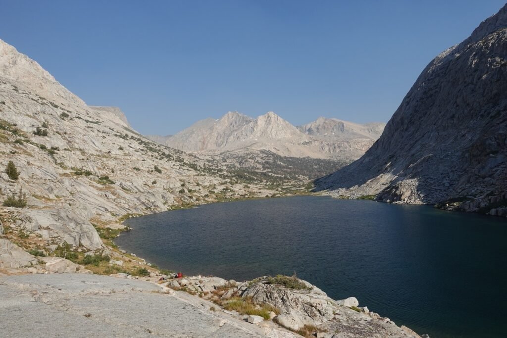
It climbed up further to look around to see if there was another spot with a good view up there. Sadly, nothing quite compared to ‘my spot’ up there. On the way back down to the shore of the lake, I did get the impression that the campsite was larger than I remembered it. I looked around hopefully to see if I had maybe missed seeing a smaller spot nearby, but decided that I must have just misremembered the size.
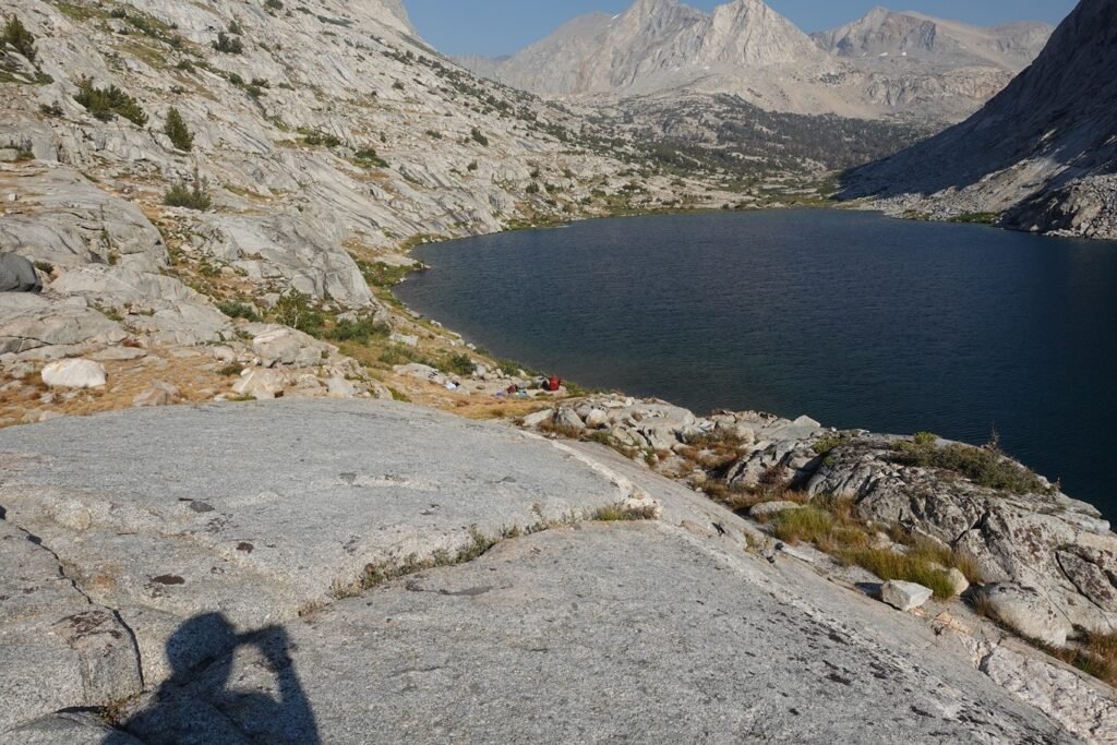
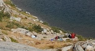
But when I compared pictures of the site to pictures of the site in 2020, I could see they were the same size with maybe some re-arranged rocks and it looked bigger since the other hiker hadn’t set up his tent yet.
2024 on top, 2020 below:

There were some nice spots to the North, but I decided to head back South and camp at one of the possible sites that I had seen on the way down to the lake.

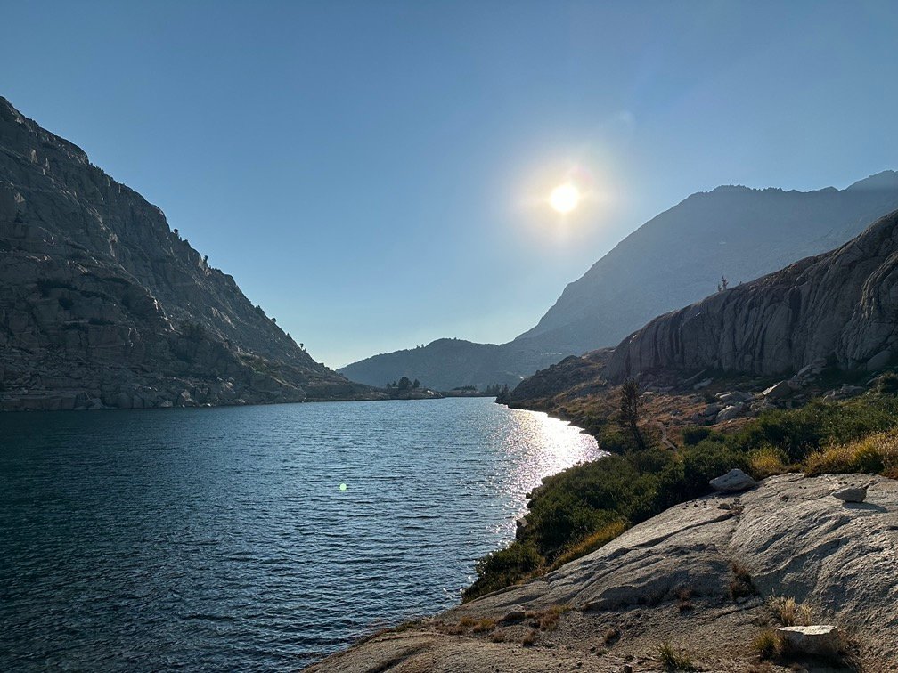
While I didn’t usually like to camp so close to a lake, this site was an established site 25 feet or more from the water’s edge (barely), so was legal in the Sequoia-Kings National Parks wilderness where the lakes were located.
While the view from my previous campsite provided a little more vertical depth to the view down to the lake, this spot had a similar 360 degree view of the entire area.
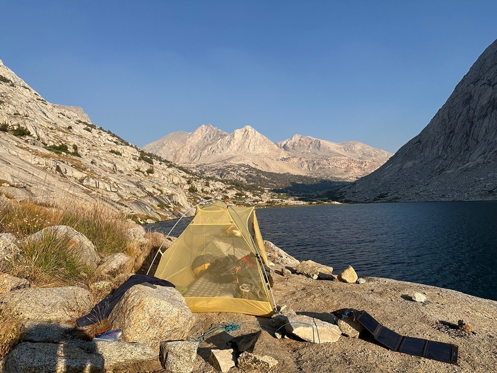
After setting up my tent (without the rain fly to be able to see the entire view from inside), I went down to the lake and had a nice swim. It was a bit cold, but I didn’t want to miss a nice swim in this great lake.
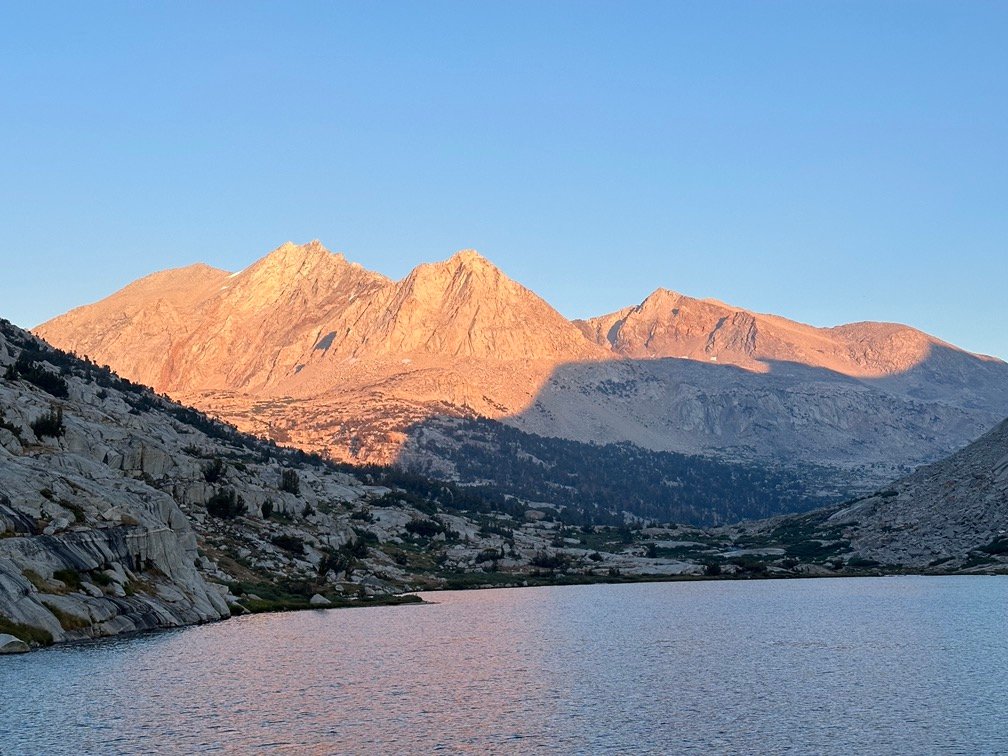
The previous time camping along Lower Palisade Lake, I had to deal with threatening clouds and a little rain at the lake, but this time the skies were clear and gave me just as spectacular views of the Sun setting to the Northwest and casting it’s golden glow along the mountains to the Southeast.
Actually, ‘spectacular’ doesn’t really do the sights I saw that evening justice, but it’s hard to put the feelings I had into words. Even the pictures only convey part of the spectacular sights I enjoyed along the lake.


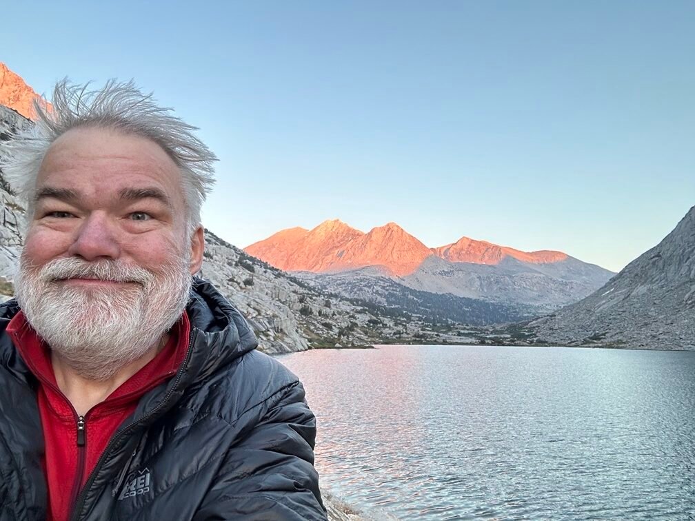
Even my hair stood on end at seeing the sights (although that could have been since it had been two days since I had washed it along Woods Creek). 😀

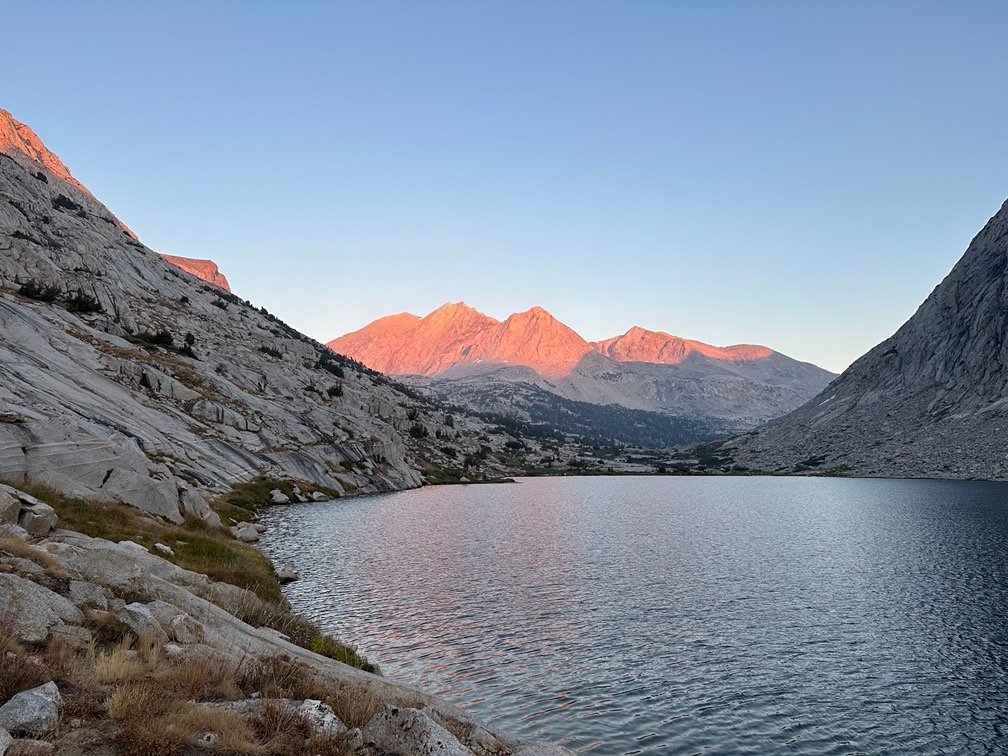

As I settled into to sleep, I did have to put the rain fly onto the tent. I’d have loved to be able to look up at the stars all night, but it was getting a bit chilly. It was close to the same elevation as Rae Lakes, but seemed like a cold wind was blowing through the canyon the lakes were in.

But that didn’t stop me from enjoying the stars all around me all night.


Scorecard for Mather Pass (12,068 feet) after 2 times to the top:
| Climbing North side of pass | Not too bad (1x) |
| Descending South side of pass | Easy (1x) |
| Climbing South side of pass | Not too bad (1x) |
| Descending North side of pass | Easy (1x) |
Goal for the day: Spectacular success!
Day 8 – 11.8 miles – 10 hours 20 minutes
PCT section H – 53.3 trail miles out of 175.5 total miles
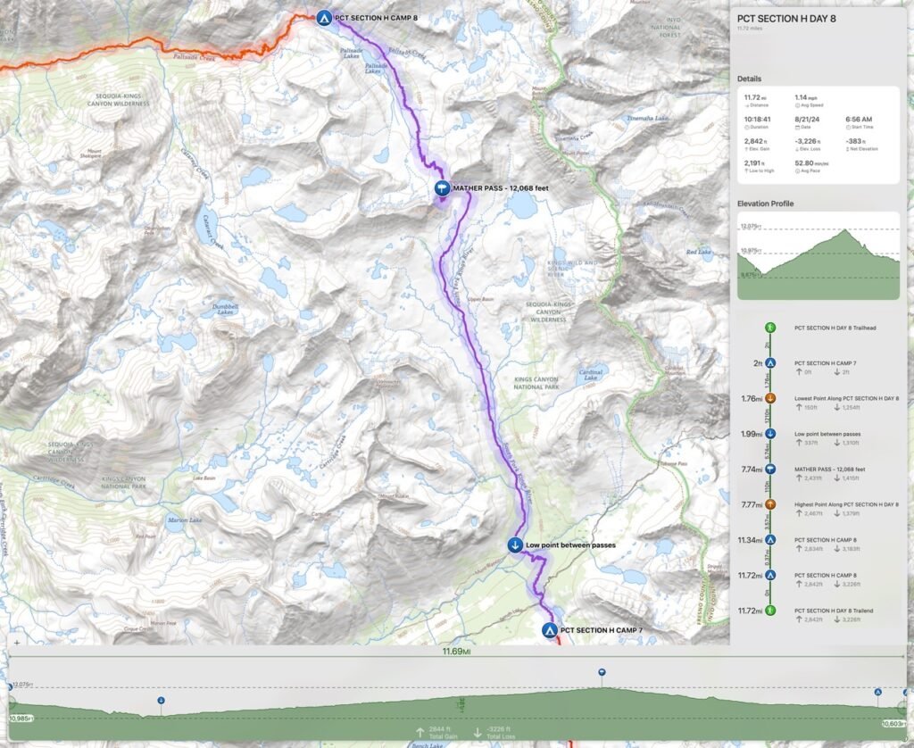
(mileage and time approximate and based on GPS tracks which may not be exact and include diversions from the trail)




Comments by WanderingJim
JMT 2020 Day 3
"I'm afraid I have no idea. Not really a fisherman, so don't..."
JMT 2020 Trek Day by Day
"Yeah, but with 9,000 pictures, it's hard to label each one..."
Kilimanjaro – October 2019
"Everest Base camp is on my list too. Mostly since I know..."
Kilimanjaro
"You started hiking with Kilimanjaro first? Even I worked my..."