Goal for the day: Half way towards Muir Pass
I didn’t even have to wait for Sunrise to enjoy the view outside of my tent… Moon rise was pretty nice, even if the reflected light from the Moon was hard to capture on camera with the mountains around me.

The stars also entertained me several times throughout the night.


And then the morning’s light put the stars to shame. This is why I love backpacking through the wilderness…
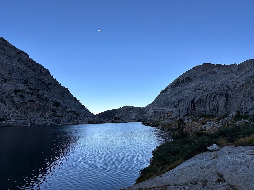
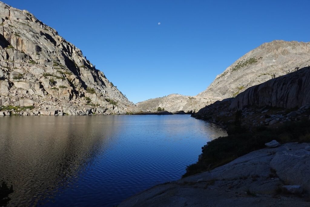

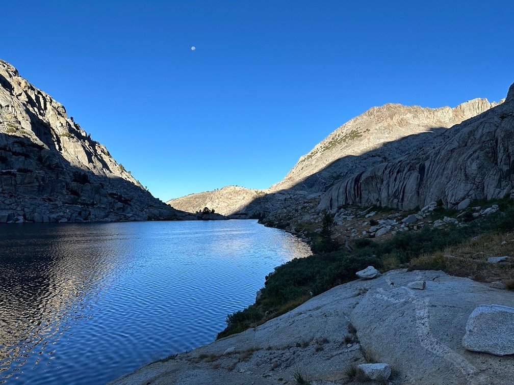
Always make sure to look all around you at Sunset and Sunrise in case the Sun is spreading light somewhere.


And when the Sun finally appears, gasp and cheer that you’ve made it out of the dark night safely.

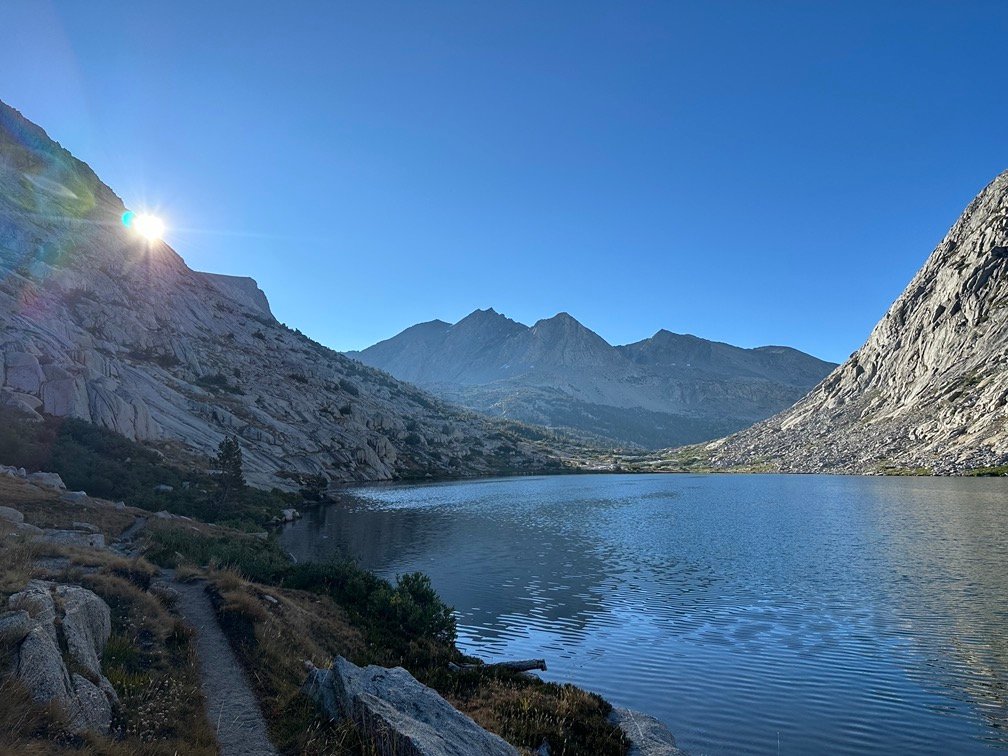
Hopefully.
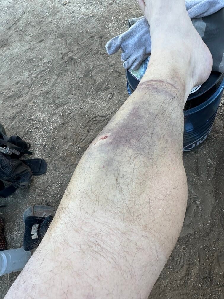
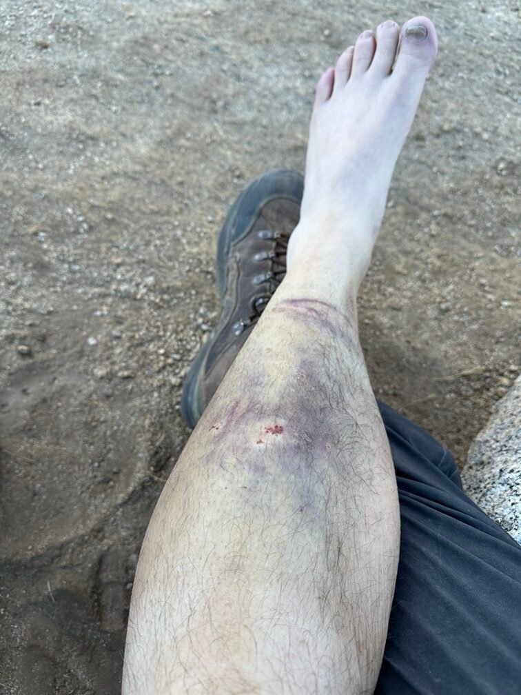
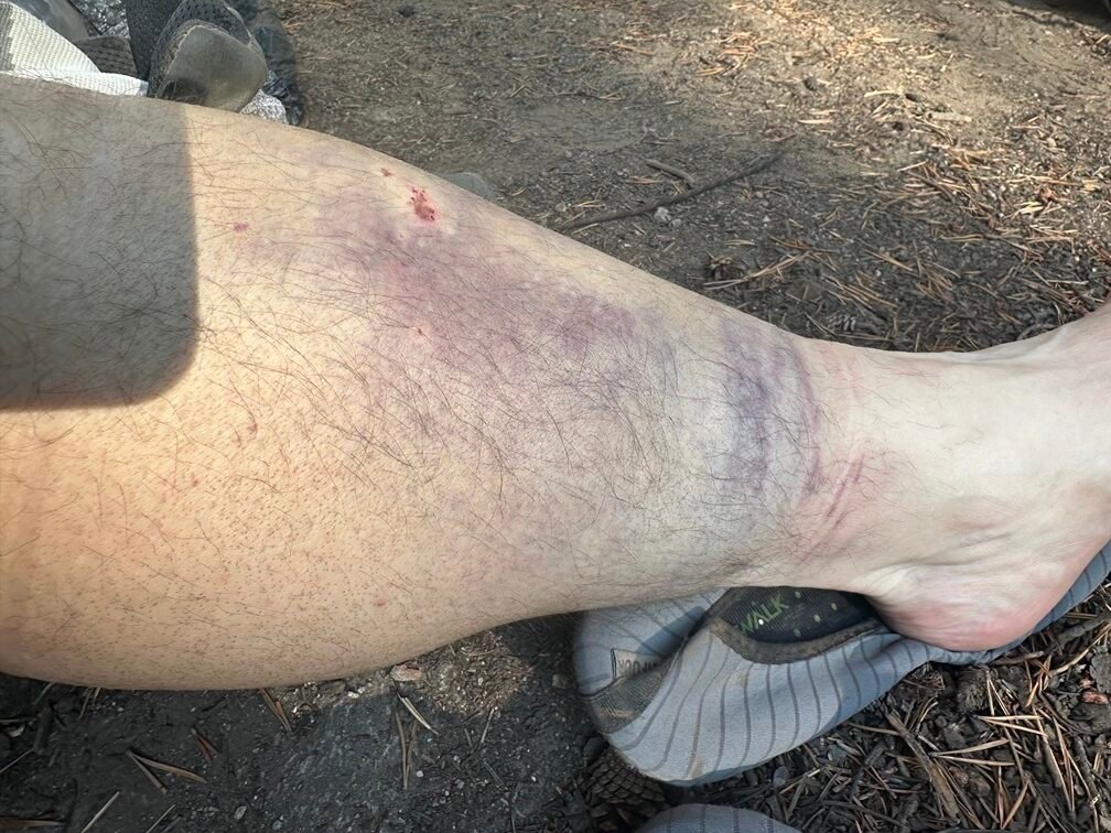
After my run in (literally) with a fallen tree trunk on day 6, I’ve been noticing some bruising on my shin getting darker. The scratches had scabbed over, but the bruise on my leg grew darker and wider over the past 3 days.
But there was no pain.
I definitely felt swelling around the impact area, but walking on the leg was painless. That–at least–made me pretty sure the leg wasn’t broken or fractured.
The big bruise and the slight yellow color of some of the surrounding skin made me worry about an infection. But there was no swelling or pain that I typically have felt with infections.
The horizontal rings of bruising came from my sock, which I had seen before when I tied my boots too tight so those didn’t worry me either.
I did have a passing thought that the two scabs looked like a snake bite, but if it had been a rattlesnake I’d be dead already.
Probably…
After packing my gear, I set off Northwards, dreading the Golden Staircase that lay ahead of me. It had been a horrible slog up Deer Meadow and then the switchbacks that inched up the Golden Staircase to reach Palisade Lakes four years earlier.
I hoped going down wouldn’t be as bad.
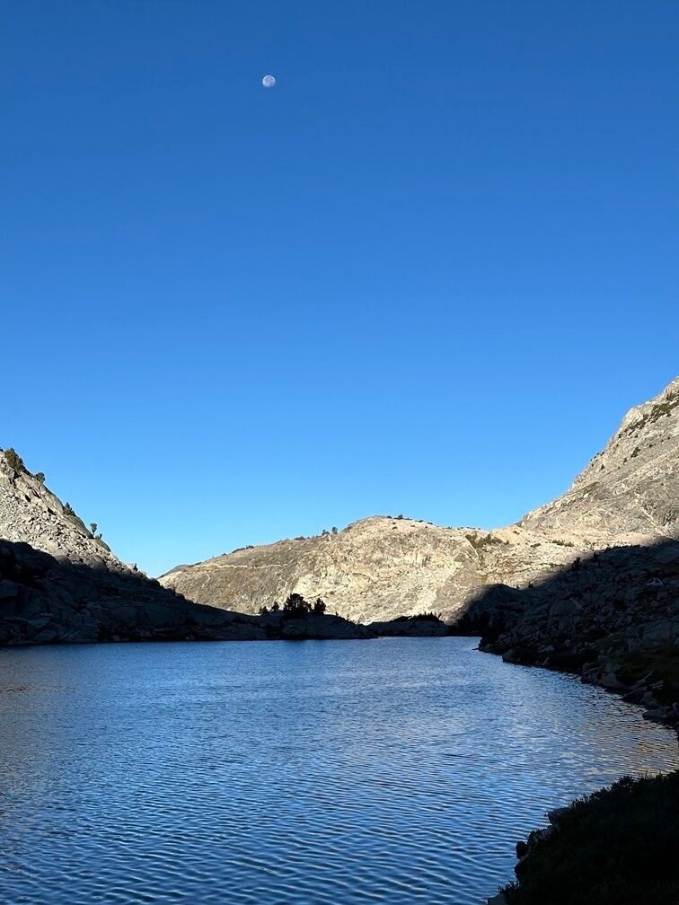
The moon seemed to stay directly in front of me as I headed North and the Moon ended up in a LOT of photos that I took. It really seemed like it should have set below the horizon a long time before it finally did.
It looked to be in the exact same position in the sky over the next hour that I hiked down towards the Golden Staircase. It was a nice optical illusion caused by me climbing downwards and the distant horizon being three separate ridge lines as I hiked.
Kind of like all the false summits and passes I’ve seen over the years. I wonder if the Moon was as pissed off as I got at those false ridge lines. 😀
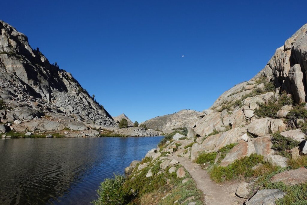
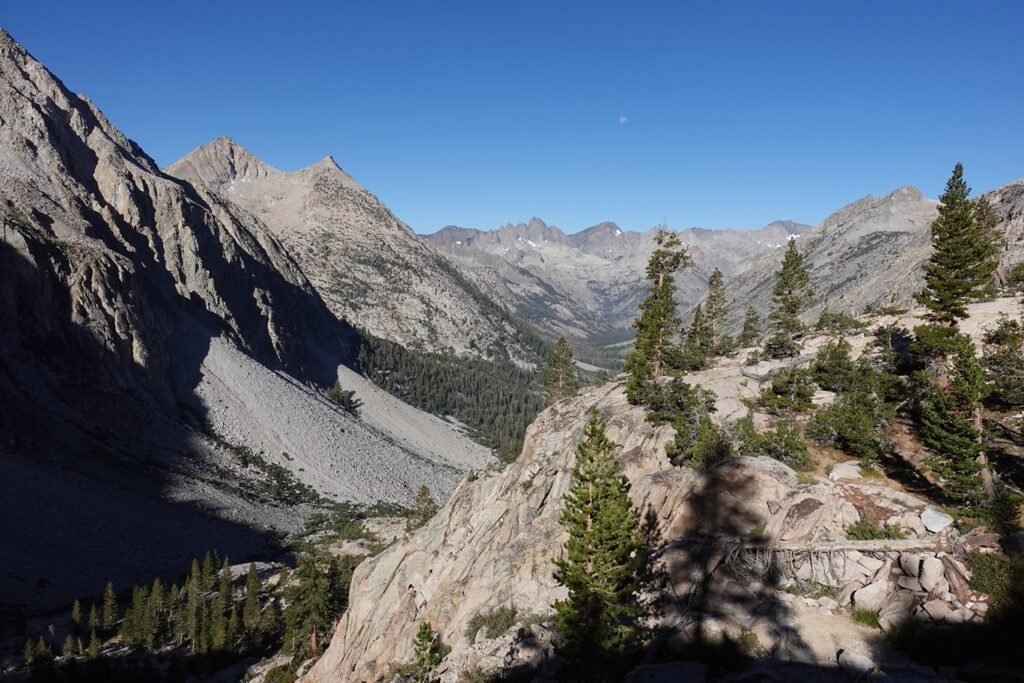

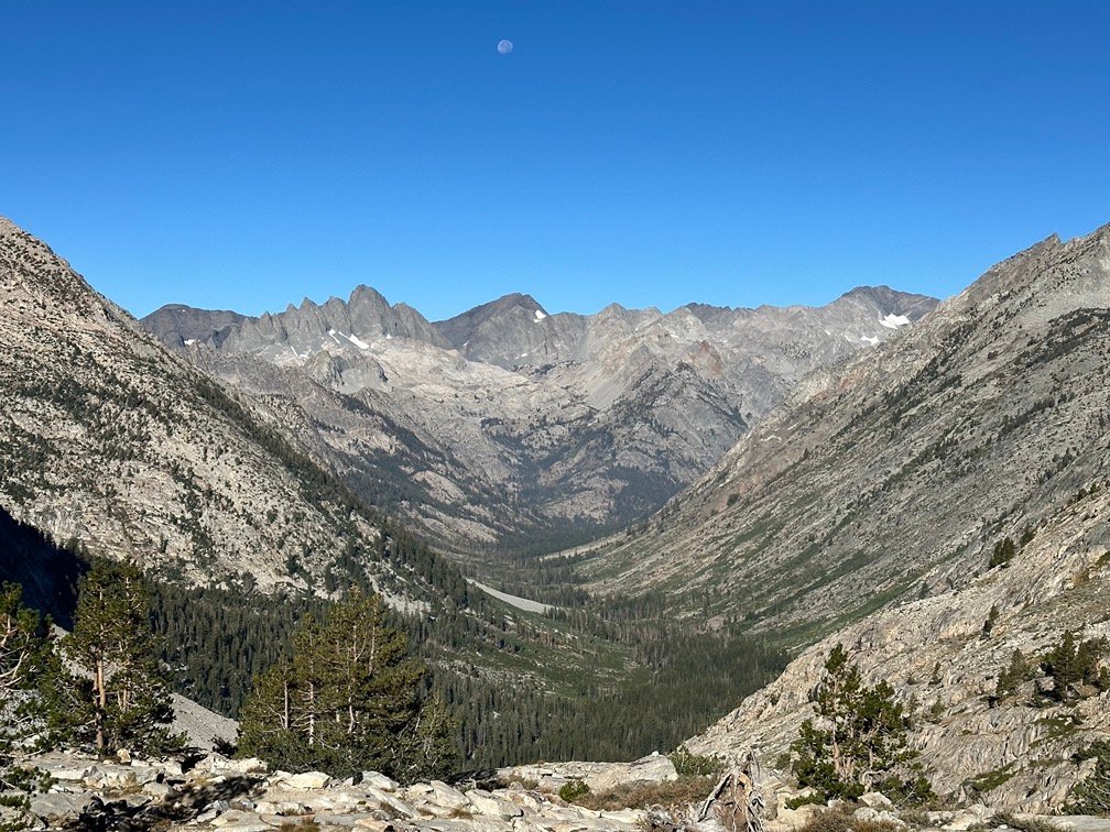
Then I reached the top of the Golden Staircase.
I’m sorry, where the heck are the stairs? That’s exactly what I thought both this time and when I first saw them from the bottom.
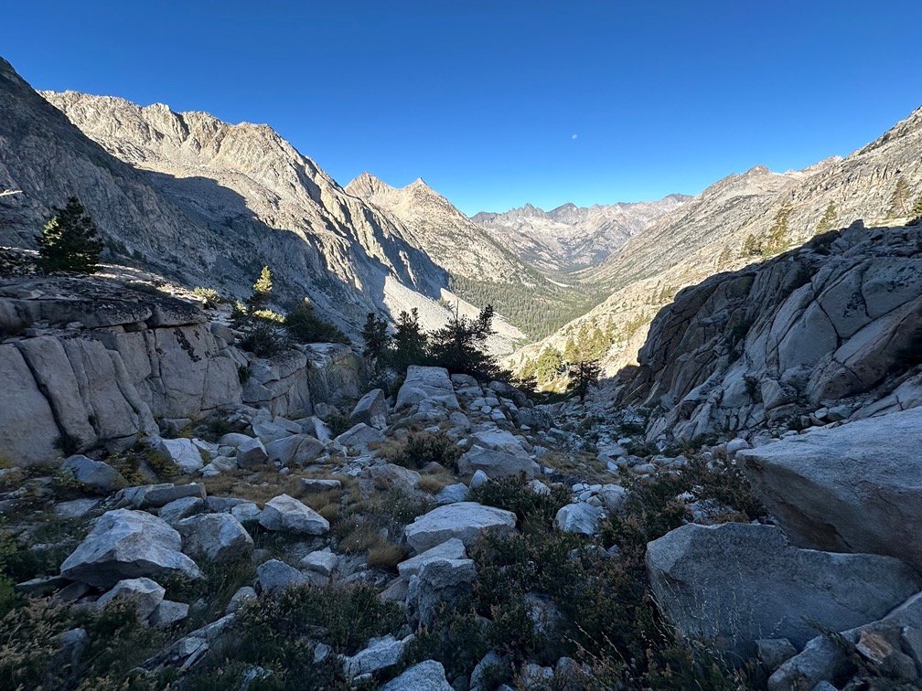
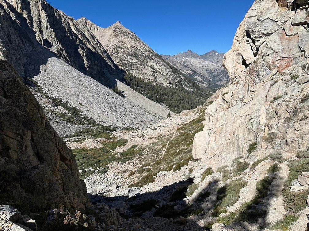

Fortunately, going down them was much easier than going up them. Looking back up, I did shudder at the memory of climbing them. No contest here, it sucks climbing up the Golden Staircase, but going down it was easy.
Reaching the edge of Deer Meadow, I again enjoyed descending this meadow.
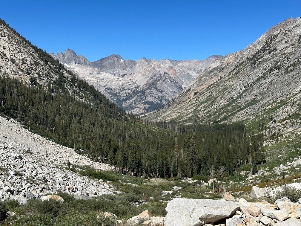
Until I ran into some more fallen trees. Fortunately, the detour around them was a bit easier this time.
Yet again, there was a NPS trail crew cutting through the tree limbs and trunks blocking the trail when I reached the north end of the fallen trees.
Not sure if it was the same crew, but I wished again that they’d have gotten there a day earlier.

Fortunately, no injuries this time.

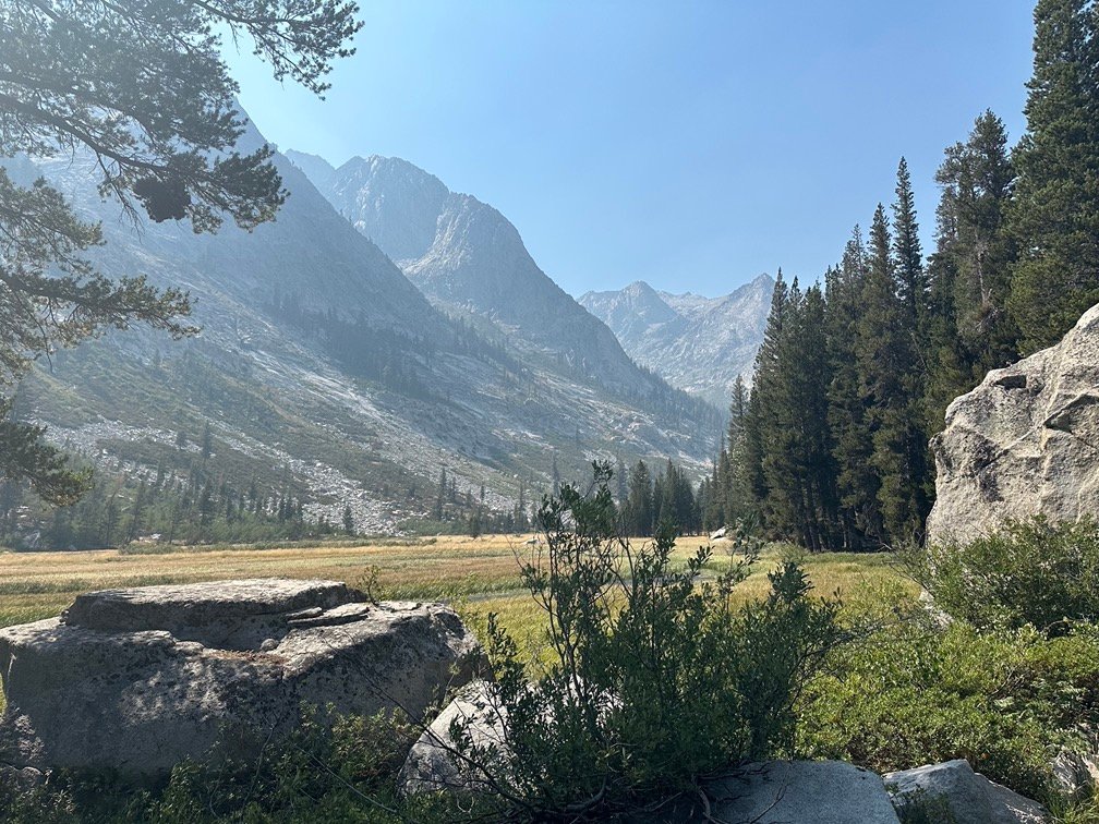
I did see evidence of their hard work over the next several miles of trail leading into Grouse Meadows. Trail reports indicated there were a lot of fallen tress and avalanche damage along the trail throughout Le Conte Canyon, recommending people stop and camp at the Middle Fork of the Kings River Trail Junction.
I decided to keep going since I knew I had a long day ahead of me climbing up to Muir Pass. Stopping at the junction would mean climbing the ENTIRE 4,000 feet in a single day if I wanted to camp at the top of Muir Pass (which I did) without collapsing along the way (which I didn’t).
I passed the spot in Grouse Meadow where I had camped in 2020, but kept going North. There was a little smoke filtering into the area, but nothing too thick or that I could even smell.

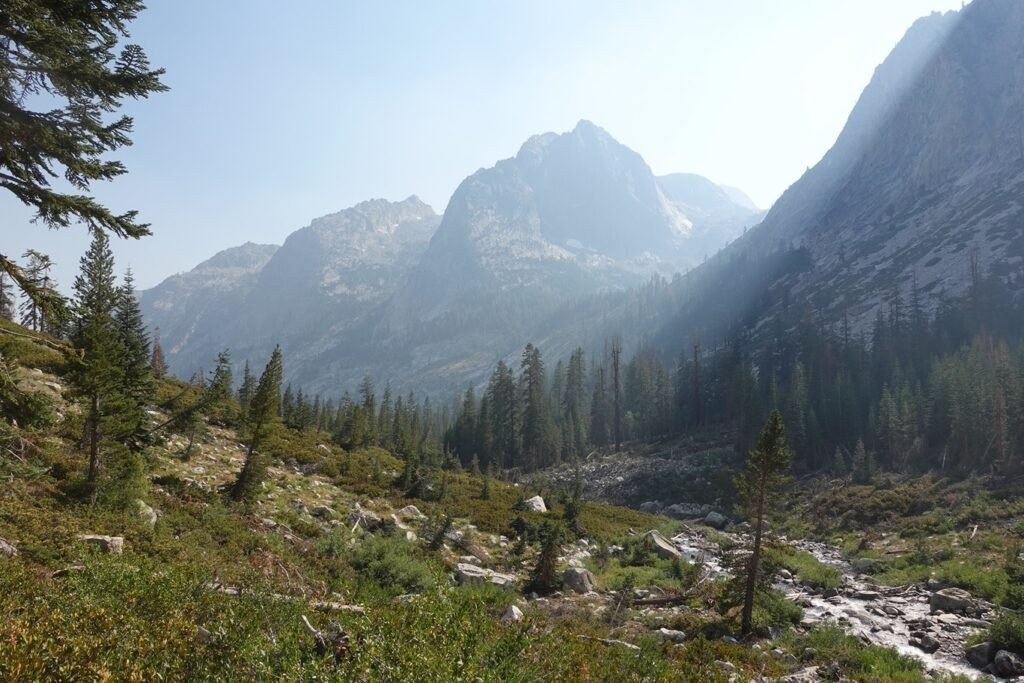
I did see one area that had been devastated by an avalanche and remnants of campsites and fire rings, but otherwise, there were plenty of spots to camp along the canyon.
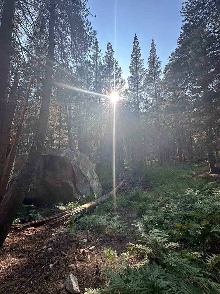
I finally had to find a campsite at the Bishop Pass Trail Junction due to being exhausted and it being past 6pm. I would have liked to go a little further, since the junction was a popular camping area due to a lot of hikers use Bishop Pass to go to Bishop to rest and resupply.
The bruising on my left leg was about the same as the morning, so I didn’t think I would have to use Bishop Pass to abort to get medical attention the next day.
Hopefully…
That was the other reason that I decided to stop at the junction.
Goal for the day: Success!
Day 9 – 12 miles – 9 hours 30 minutes
PCT section H – 64 trail miles out of 175.5 total miles
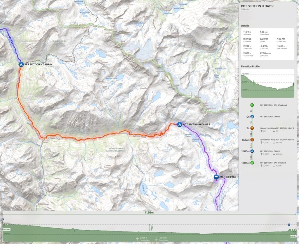
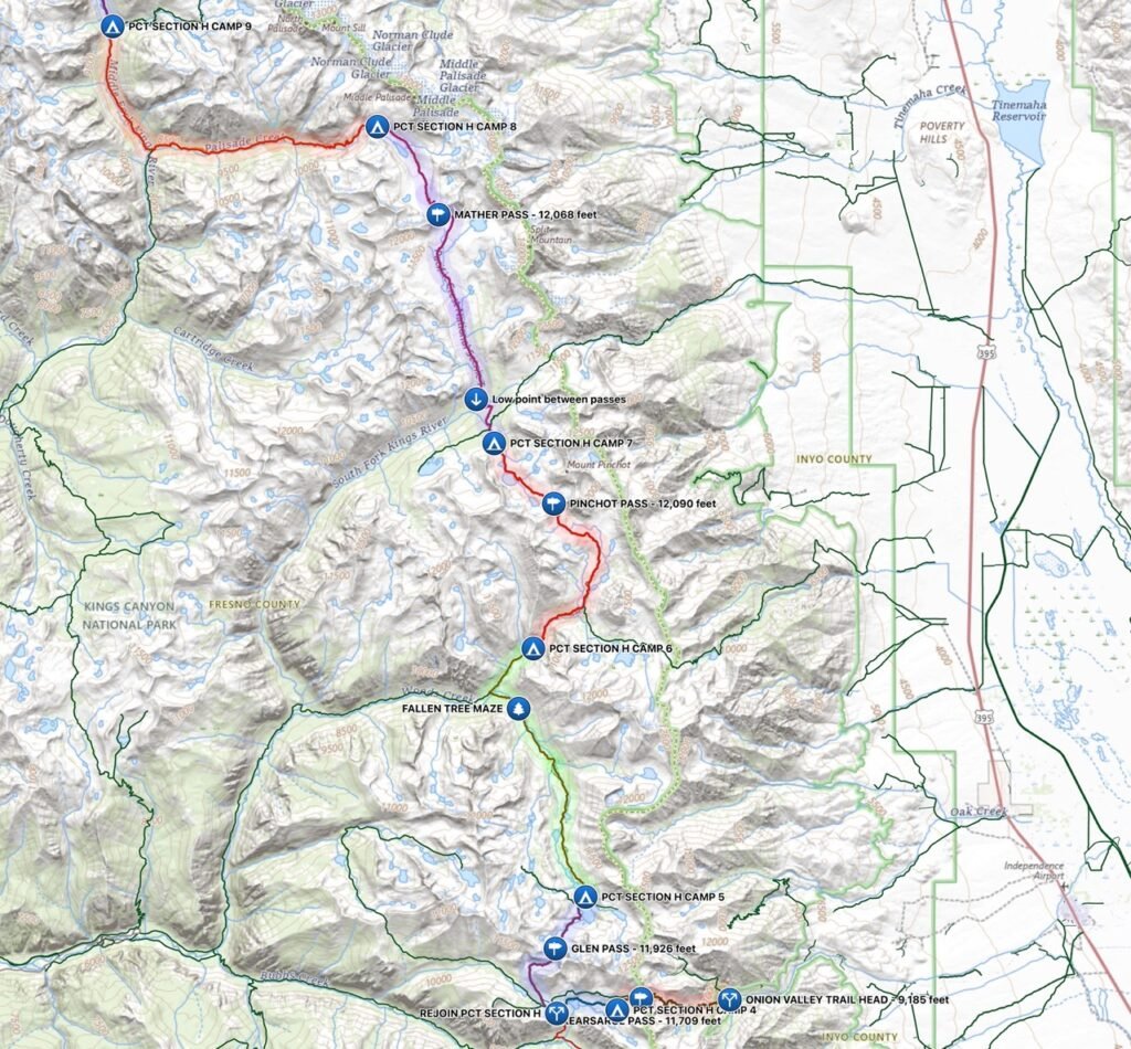
(mileage and time approximate and based on GPS tracks which may not be exact and include diversions from the trail)




Comments by WanderingJim
JMT 2020 Day 3
"I'm afraid I have no idea. Not really a fisherman, so don't..."
JMT 2020 Trek Day by Day
"Yeah, but with 9,000 pictures, it's hard to label each one..."
Kilimanjaro – October 2019
"Everest Base camp is on my list too. Mostly since I know..."
Kilimanjaro
"You started hiking with Kilimanjaro first? Even I worked my..."