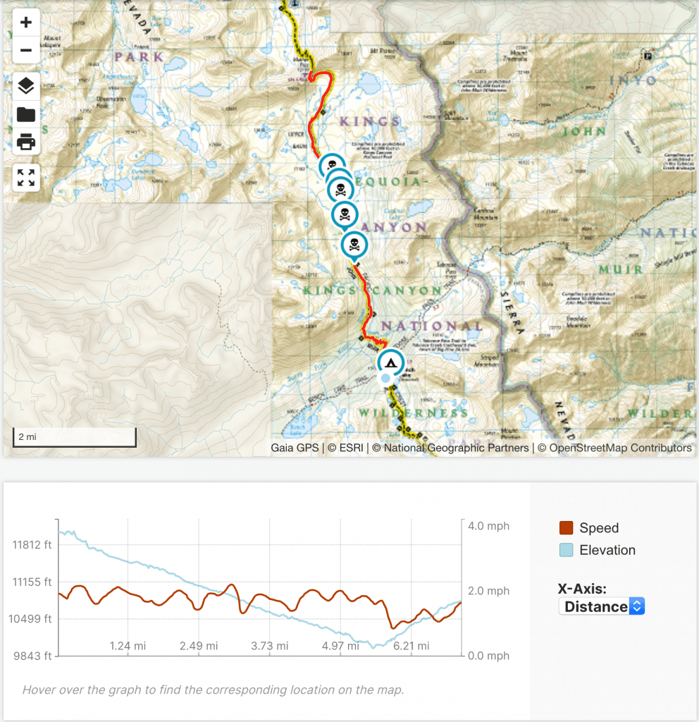
Goal for the day: Mather Pass (12,100 feet)
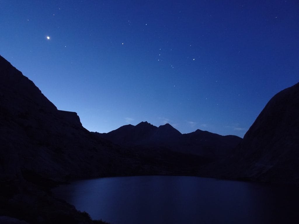
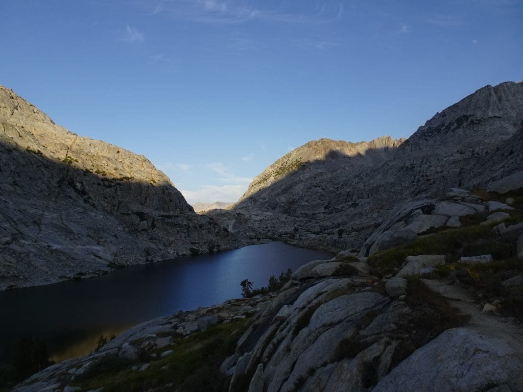
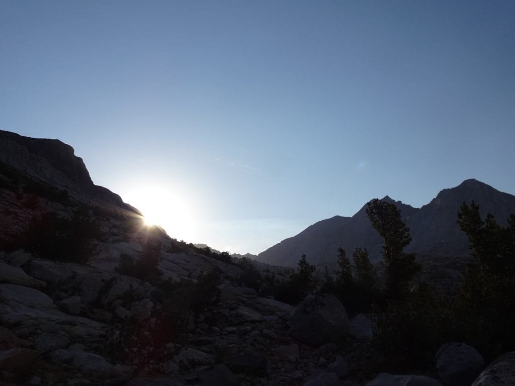
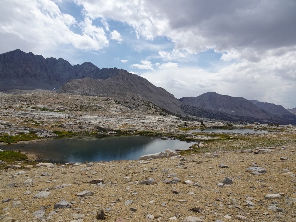
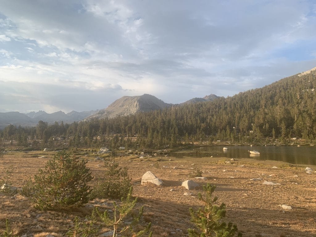
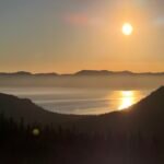
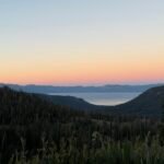
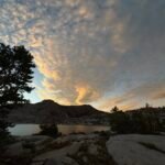
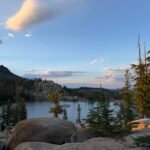
I woke up before dawn and was treated to a sky full of stars. I tried not to dawdle in the morning, but the colors and lighting effects from the sunrise were hard to hurry away from. So while I did eat breakfast and pack my gear early, I made sure to hang around Lower Palisade Lake and enjoy the sunrise for a bit.

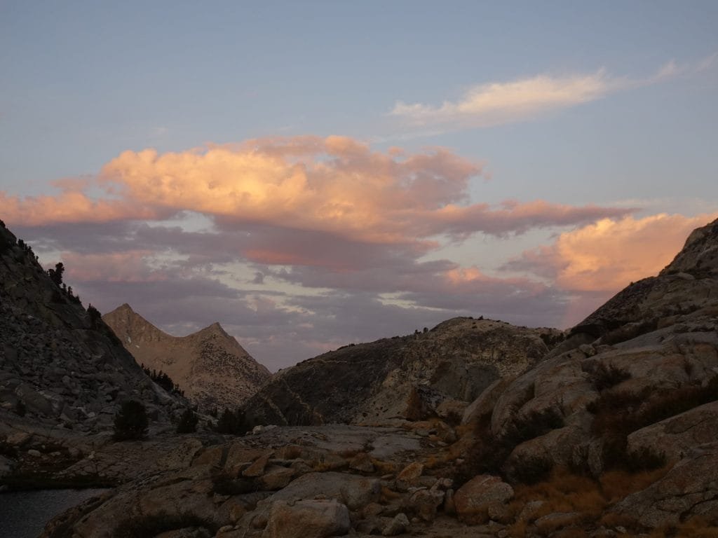
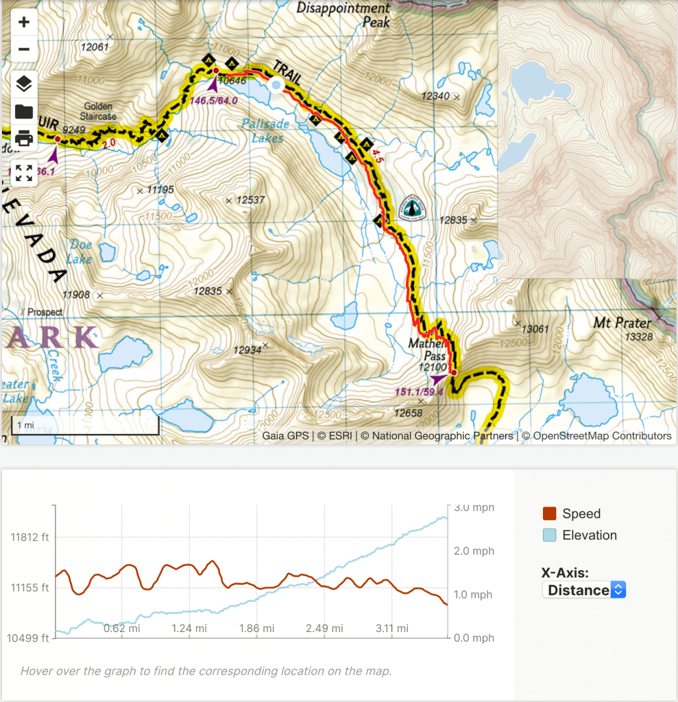
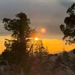
Even so, I was headed up to Mather Pass (12,100 feet) by 7am. I enjoyed some remaining sunrise colors on the way to Upper Palisade Lake. It took me an hour to get to the upper lake, so if I didn’t stop early the day before due to the threatening weather I could have been closer to the pass. But I think my spot at the lower lake had the better view, so nothing really lost.
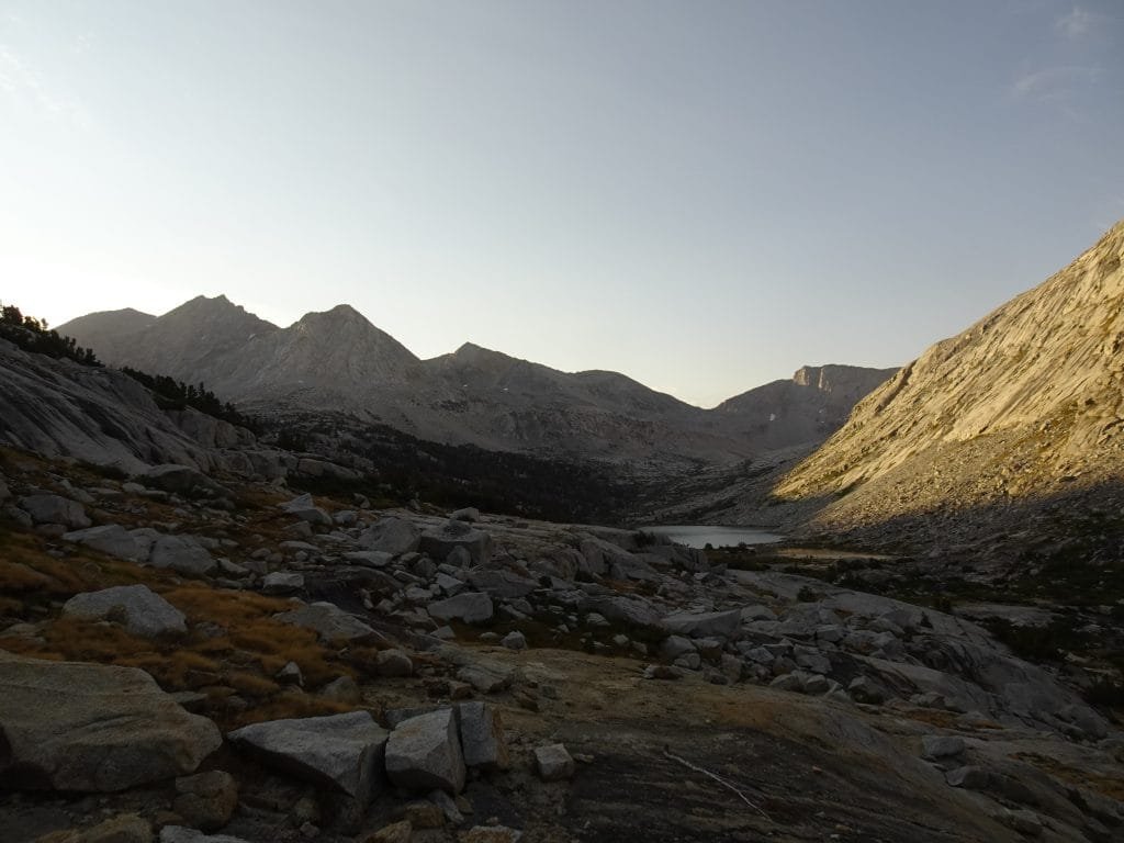


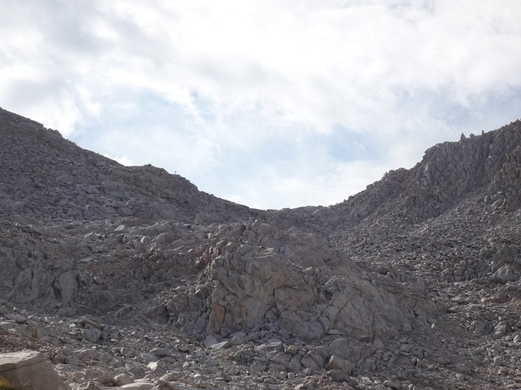
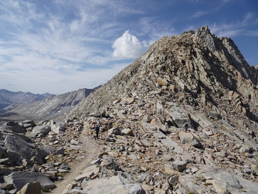
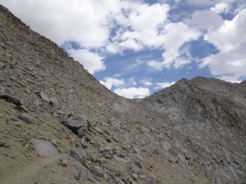
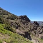
The final climb to Mather Pass haa (another) one of those ‘Oh shit’ moments when you weren’t sure where the trail went or was taking you.

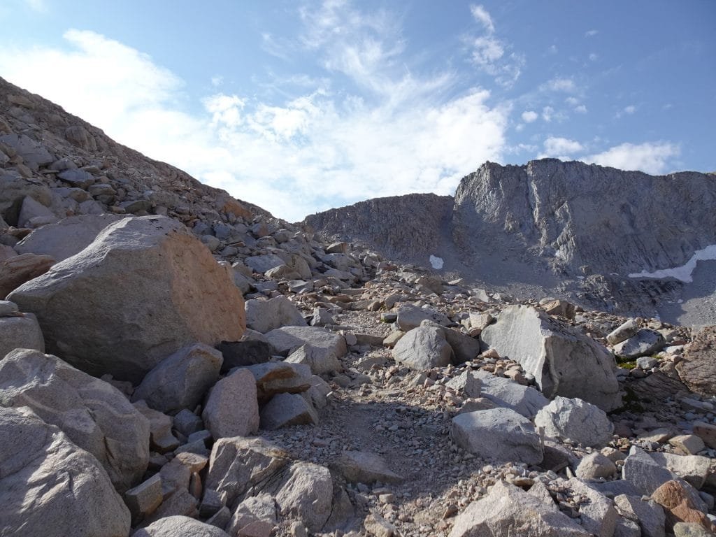
Even after I saw some hikers at the top of the pass, the trail took you up and then down to the pass. Must not have been a route directly under the pass, so the trail had to take a detour.
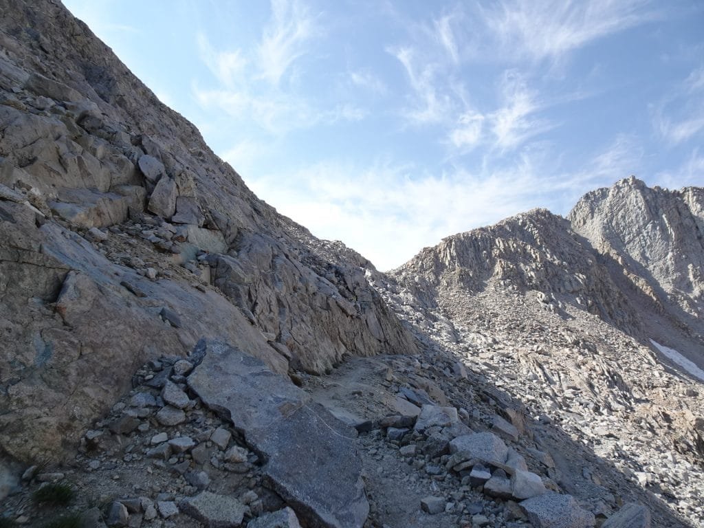
But in the end it was MUCH easier than the Golden Staircase switchbacks from the day before. Of course, I was on fresh legs which always helps me enjoy the hike more.
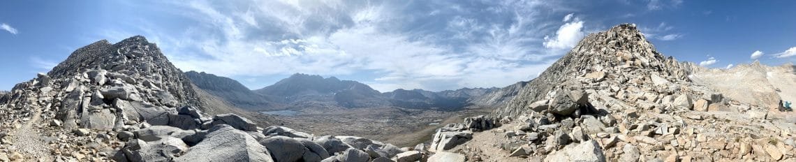
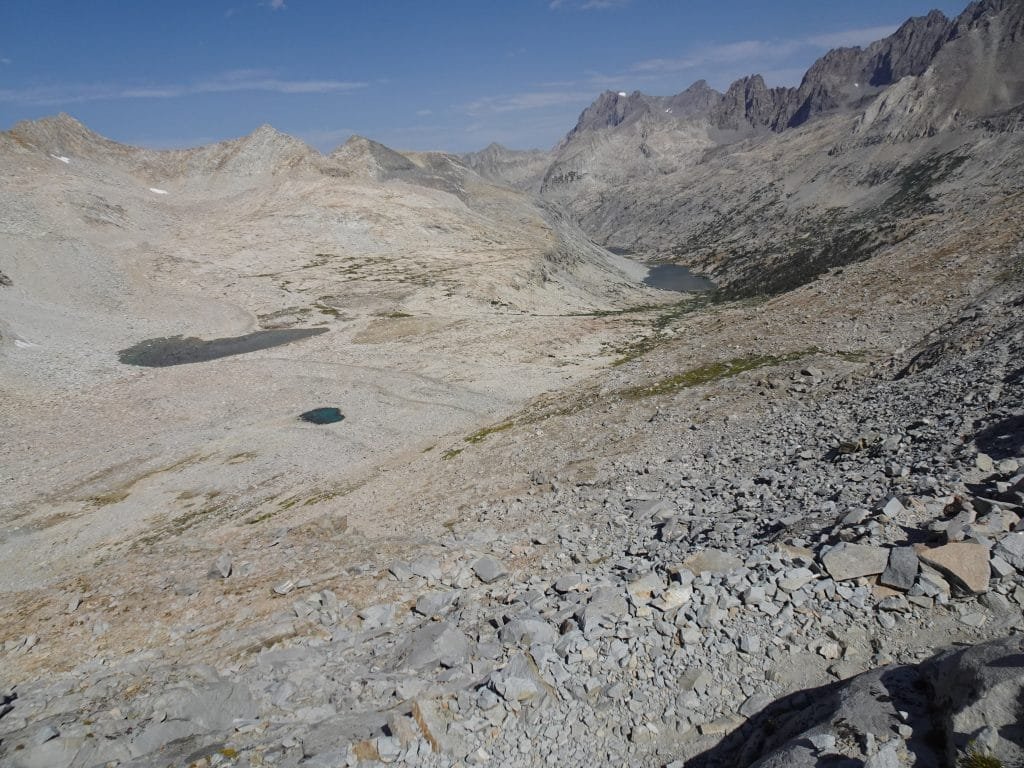
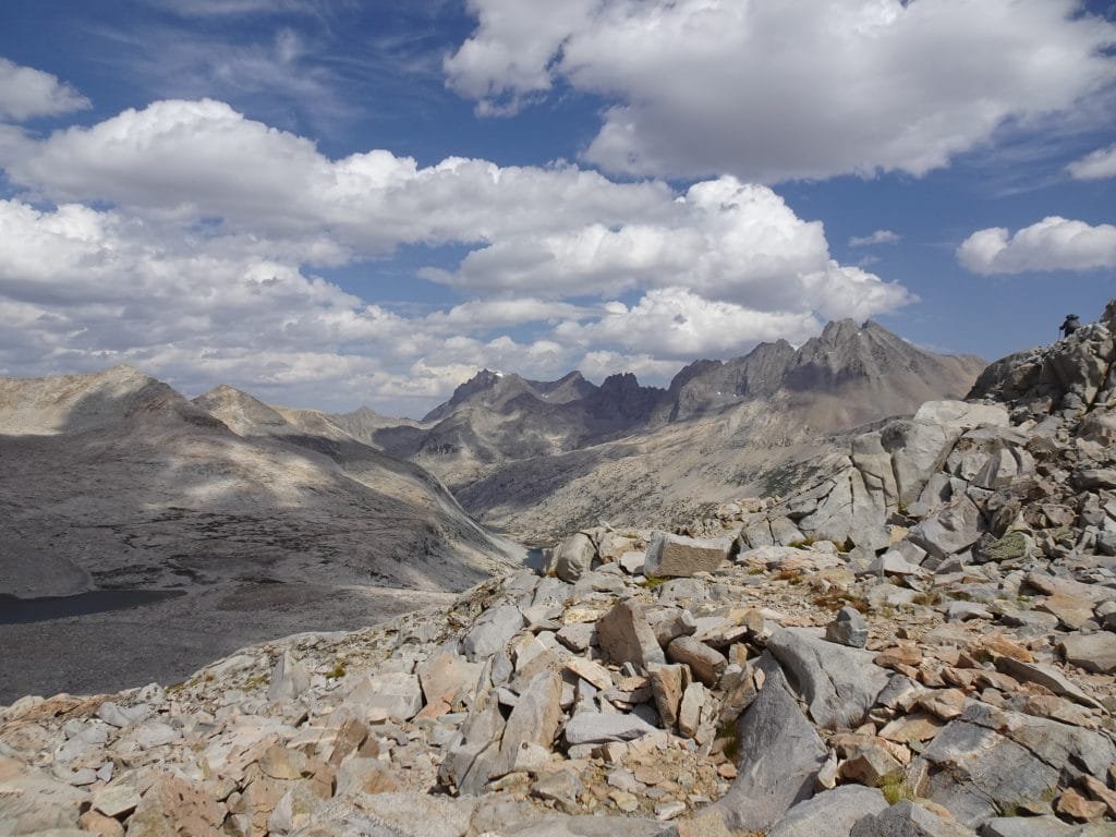
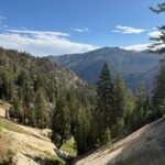
The view from the top of Mather Pass was spectacular! Yeah, I know I use that term a lot for the views from passes, but it’s true. There was a little haze to the far south, but otherwise the skies were clear and I felt that I could see forever.
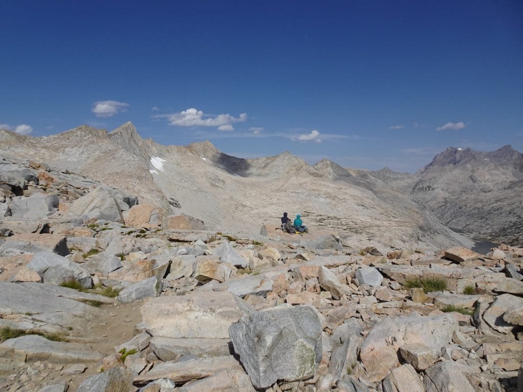
There was some info that you could get a cell signal from the top of Mather Pass, but I had no luck. Maybe if I climbed up one of the ridges along the pass I could have gotten a signal, but it wasn’t a big deal. I did want to confirm my resupply at Charlotte Lake on the 20th with Berners, so I used my Inreach instead. Everything seemed all set for the 20th.
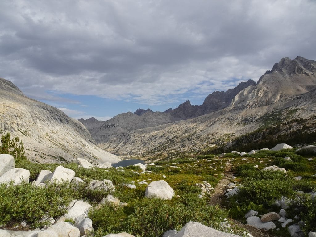
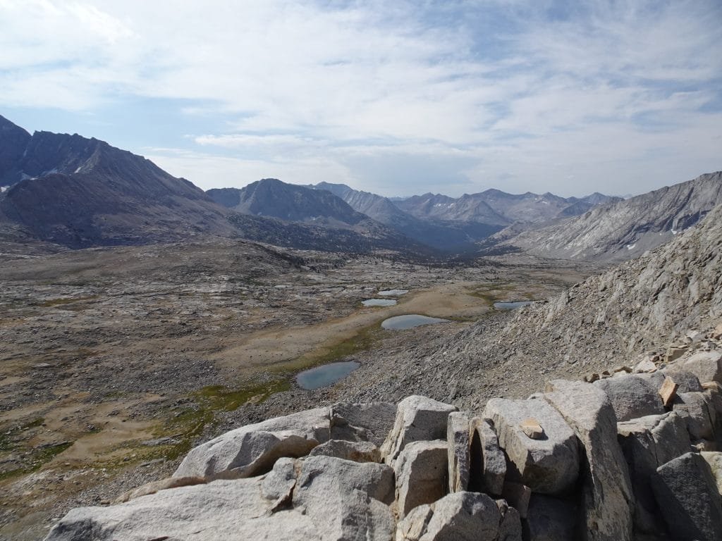
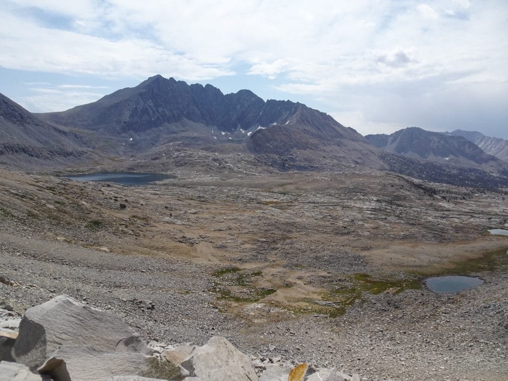
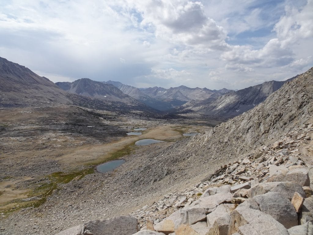
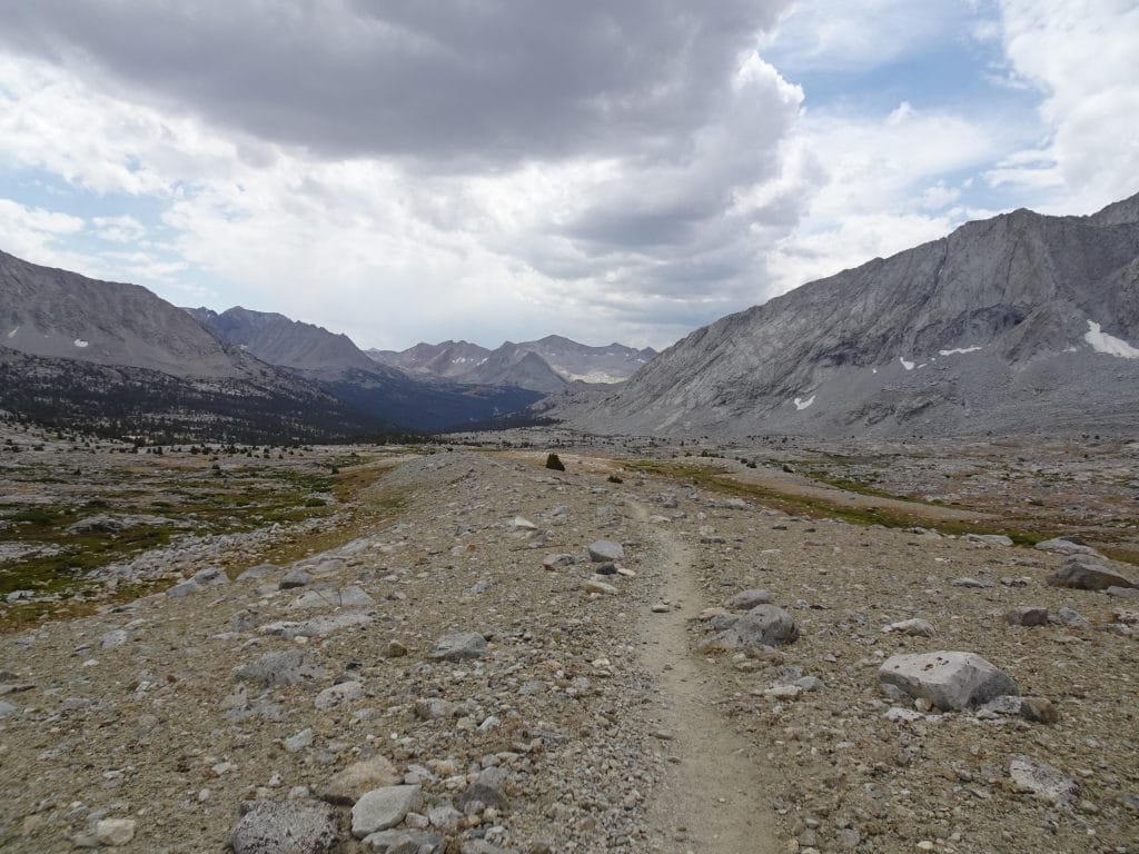
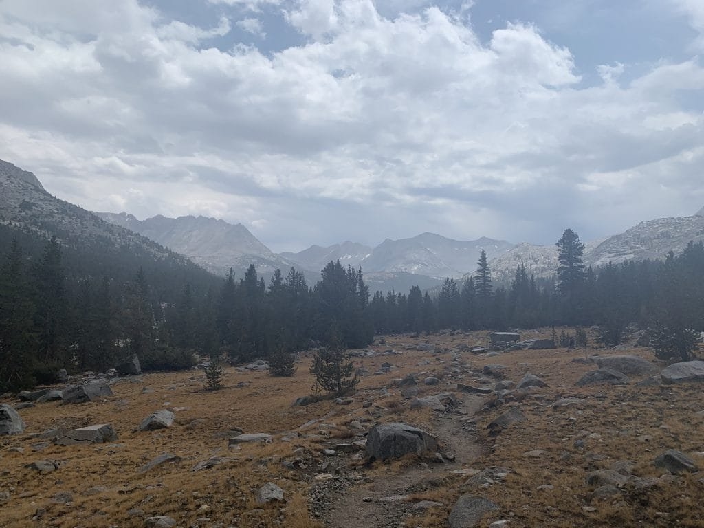
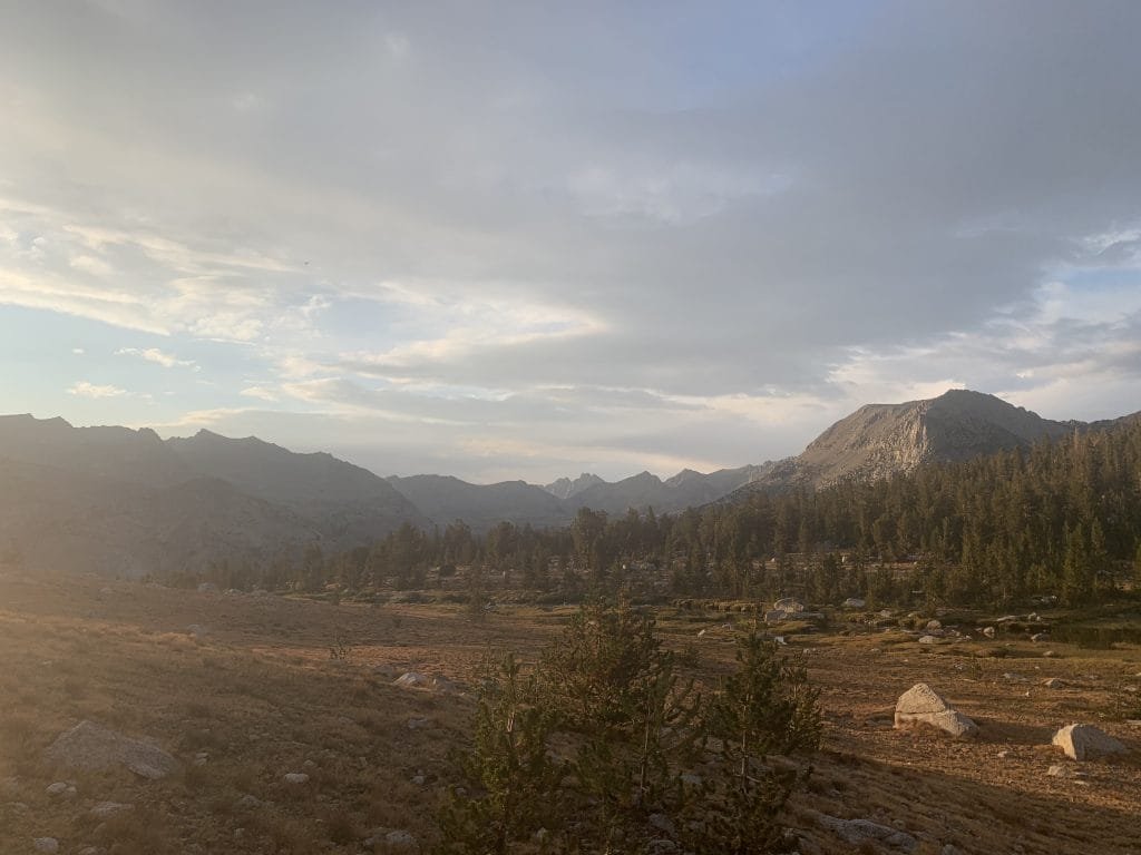
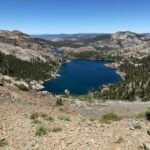
Looking south, I was amazed that I could see almost the entire route from Mather Pass to Pinchot Pass (12,050 feet). It wound down the south side of the pass, snaked through a meadow inside a large bowl created by all the surrounding mountains, and then climbed up a canyon to the far south. It didn’t look like the actual pass was visible, but most of the trail was laid out before me. Don’t recall any of the other passes having so much of the path forward spread out so clearly before me.
Of course, it was only about 9 miles to Pinchot Pass and ‘only’ a 2,000 foot drop to the meadows and 2,000 feet to re-climb on the other side. Much better than the 4,000 foot drop after Muir Pass and the 3,500 drop I’ll have to do after Pinchot right before I’ll have to climb 3,500 feet again to get to Glen Pass.
Whoever designed this planet is obviously trying to torment me with all these ups and downs along this part of the trail. 🙂
Coming down from the pass was nice and you could see a good deal of the large meadow and mountains as you hiked.
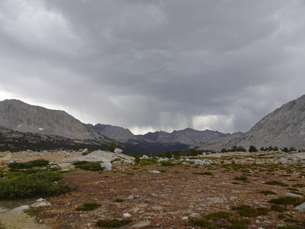
Unfortunately, at mid-day a large storm could be seen coming my way and before long it was dumping water on me. I took shelter under some trees for a little while to see if it would end, but it didn’t show any signs of letting up. It wasn’t even Noon, so it was too early to hunker down or setup my tent. I put my rain gear to the test, really wishing I still had my rain pants. This was the first time I would have really needed them.
If I didn’t get some miles under my legs that afternoon, it would set my schedule back even further. And I did have to keep the timing of my final resupply in mind.
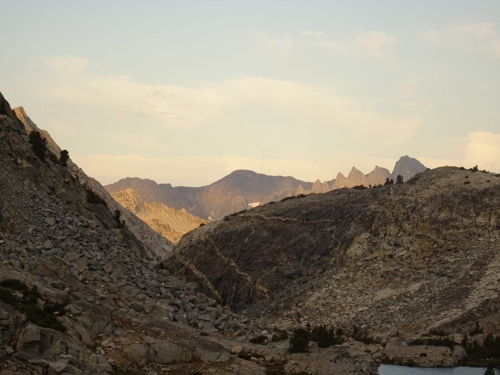
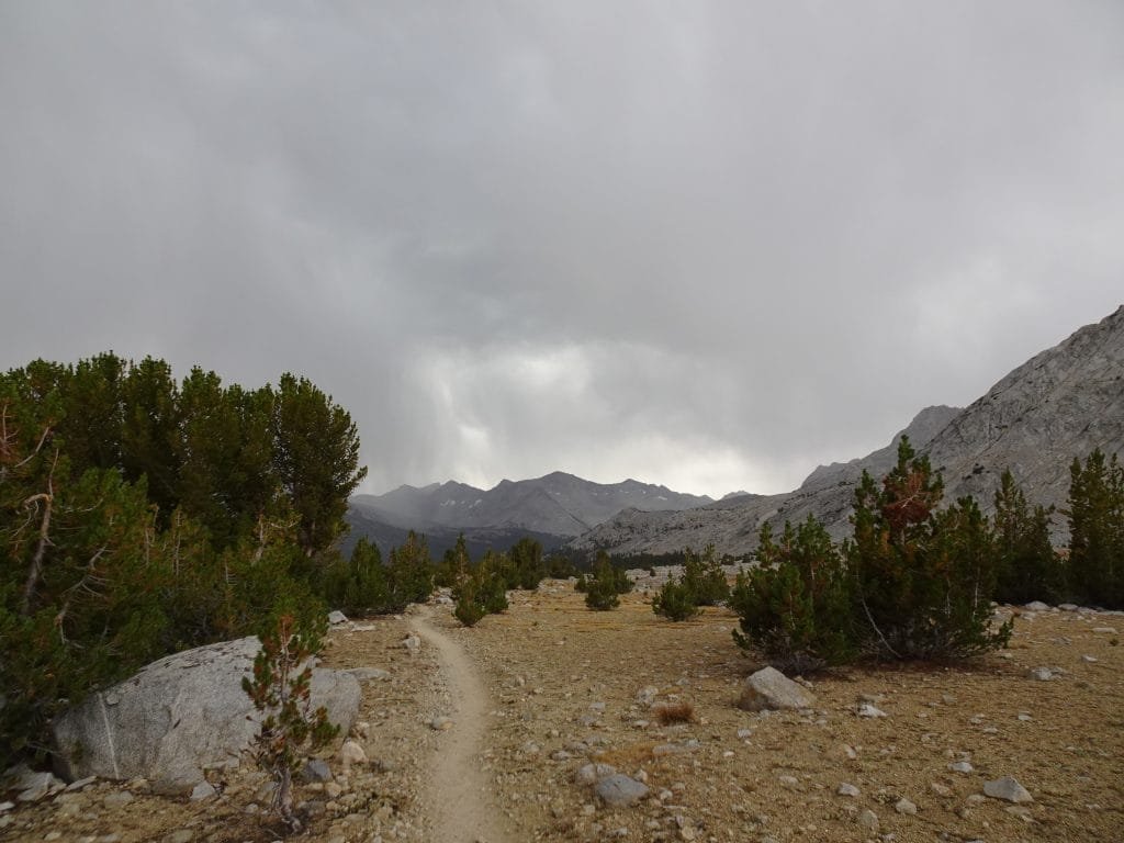
Despite the rain, I even pushed upward on the switchbacks leading up to the Bench Lake Trail junction and found a little campsite with somewhat of a view. They weren’t hard switchbacks, but being wet tends to make everything a little more irritating. 🙂
In between rain spatters, I got my tent up and my gear inside. My convertible hiking pants did get wet but not totally soaked, so should dry out by the next morning. This is why I had some lightweight sweat pants with me: I can change into them and let my hiking pants dry out if needed. They would also provide an extra layer of warmth, if needed during some of the colder nights on my treks.
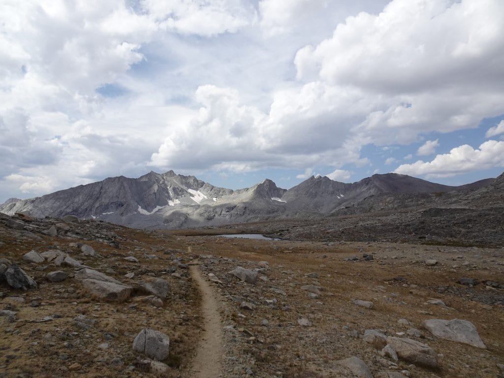
It looked like I only had about 1,200 feet to climb in a little under 3 miles the next morning to reach Pinchot Pass (12,050 feet).
But then comes a 3,500 foot descent followed by a 3,500 foot accent to Glen Pass. I wanted to do as much of that as I could the next day, but know I couldn’t do both passes in the same day from where I was.
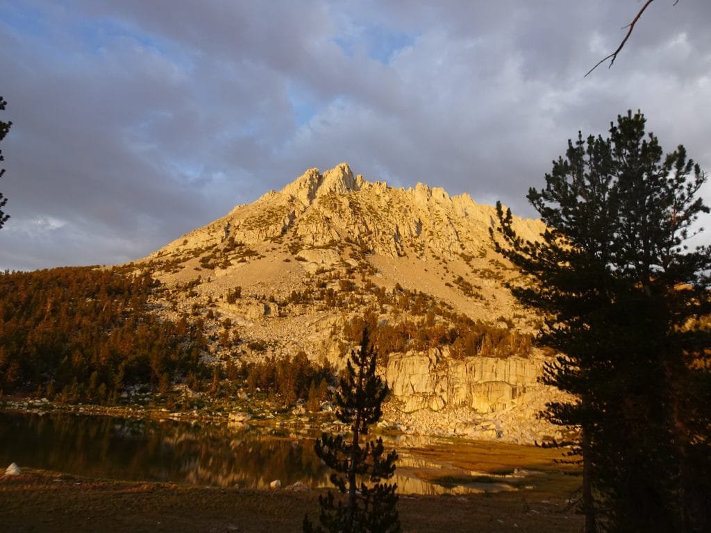
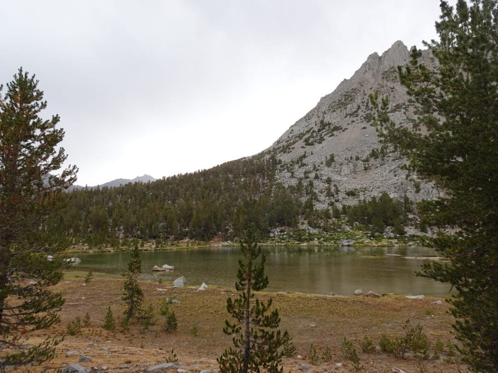
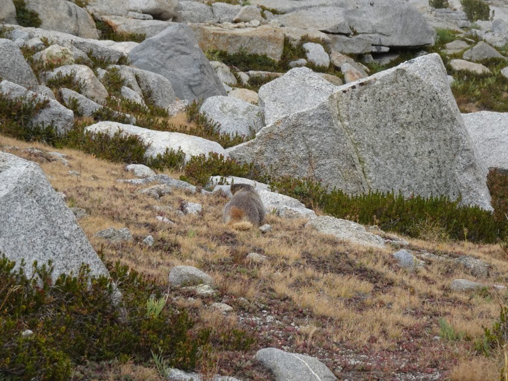
In between scattered showers, I had dinner and enjoyed a nice view of the mountains around me. And I saw my first marmot for the trek.
The best news from that day was that the intermittent pain I’d been feeling in my right hip ever since MTR on day 14 didn’t occur that day. I assume that’s because my pack was lighter by that point and wasn’t soem kind of injury. It’s a relief that the pain probably wouldn’t be with me for the rest of the trek or force me to abort early. My shifting of the balance of my pack for the past three days and the lower weight of my pack seemed to have gotten me through that health challenge.
10.75 miles hiked, 9:00 hours, 2,250 feet climbed
158 total miles hiked on the JMT
3/4th of the way to the top of Mt Whitney! Unfortunately, this is still the hardest part of the trail.
Highlights:
• Mather Pass – 12,100 feet (Pass #7 Conquered!)
• Impressive meadow in a large bowl surrounded by mountains on all sides
• First hike through the rain
• Daily Goal Achieved!


Comments by WanderingJim
PCT DAY 85 – CA Section H
"No cell service in many parts of the PCT. Not dead yet."
PCT or BUST!
"Yes, I’ll be going through there by early August"
JMT 2020 Day 3
"I'm afraid I have no idea. Not really a fisherman, so don't..."
JMT 2020 Trek Day by Day
"Yeah, but with 9,000 pictures, it's hard to label each one..."
Kilimanjaro – October 2019
"Everest Base camp is on my list too. Mostly since I know..."