
Goal for the day: Pinchot Pass (12,050 feet)
Despite my choosing the first campsite that I had found after climbing the switchbacks in the rain the day before, I had been pleasantly surprised at the pre-dawn stars and morning light. Even after I had started up the trail towards Pinchot Pass (12,050 feet), the morning sun kept highlighting the mountains around me. Nice way to start a day that will start easy and end with a long descent into hell. Well technically, it’s called Woods Creek on the map. 🙂


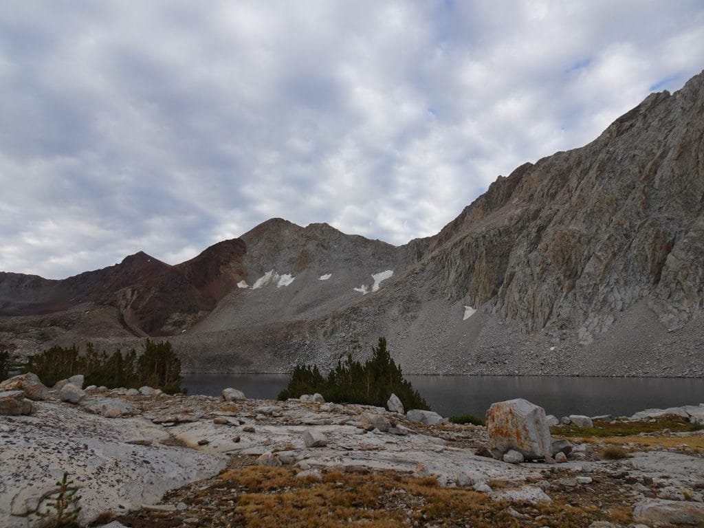
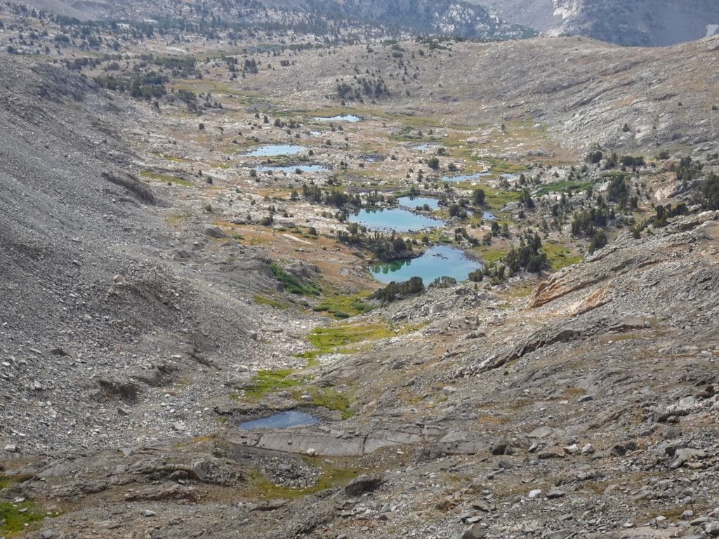
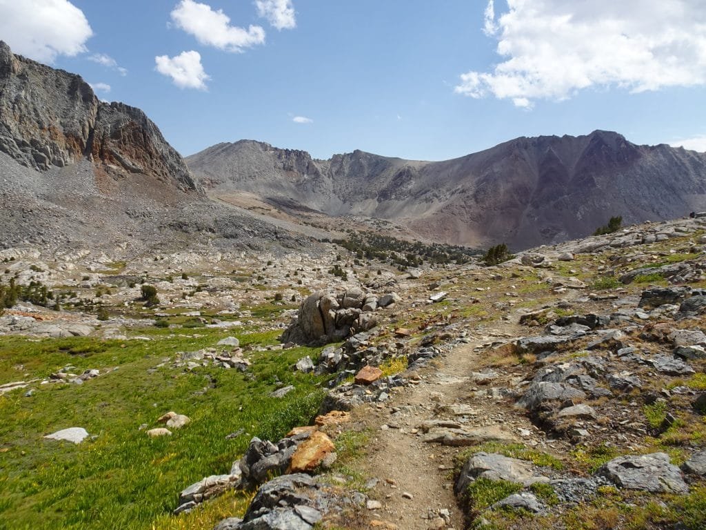
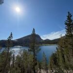
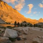
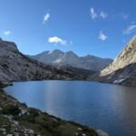
The climb up to Pinchot Pass was uneventful, but pretty. The trail climbed gradually through a basin past mountain lakes, the largest being Lake Marjorie.

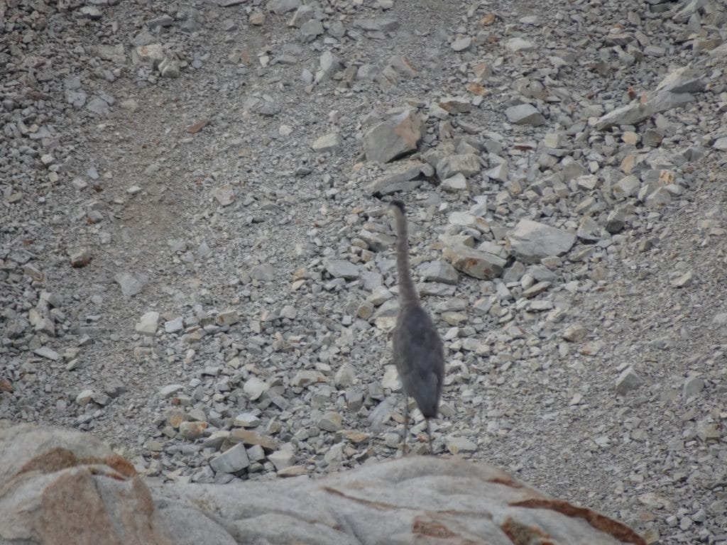
At the lake I saw what I believe was a Great Blue Heron, but I’m not much of a bird watcher so I could be wrong. It was pretty, at least. 🙂

The mountains had a nice variety of color. In addition to the standard Sierra Nevada granite gray that you see quite often, I saw some rust red, tan, dark gray, black, and other shades that day.


There were some switchbacks on approaching the pass, but nothing that was too steep or that had hidden tricks to drive you mad. They were almost civilized as far as switchbacks go.

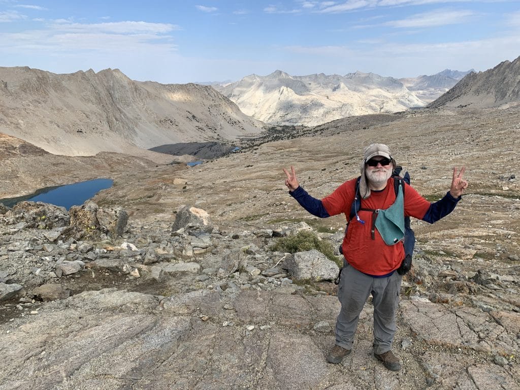
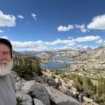
The final approach was obvious and I got to the top without any problems.


Since I keep repeating the same synonyms for spectacular whenever I reach each pass on this trek (this is pass #8 after all), please imagine your own favorite words to describe something so spectacular that you have trouble describing it. Or use this list: https://www.thesaurus.com/browse/spectacular
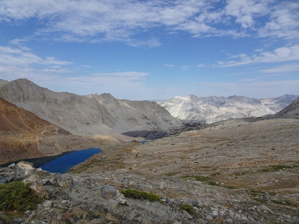
Looking back towards Mather Pass I did confirm that it was out of sight from this pass, but again I could see most of the way back to where I came from the day before.
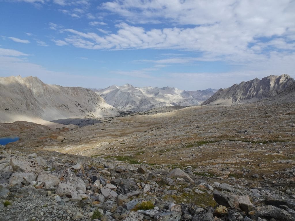
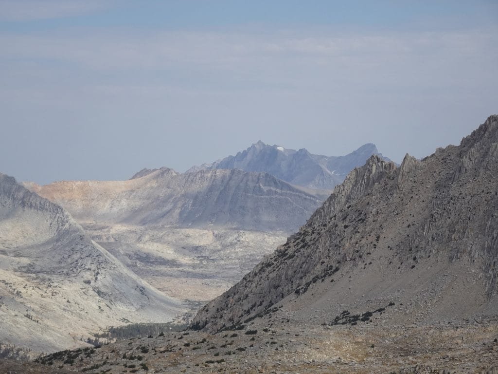
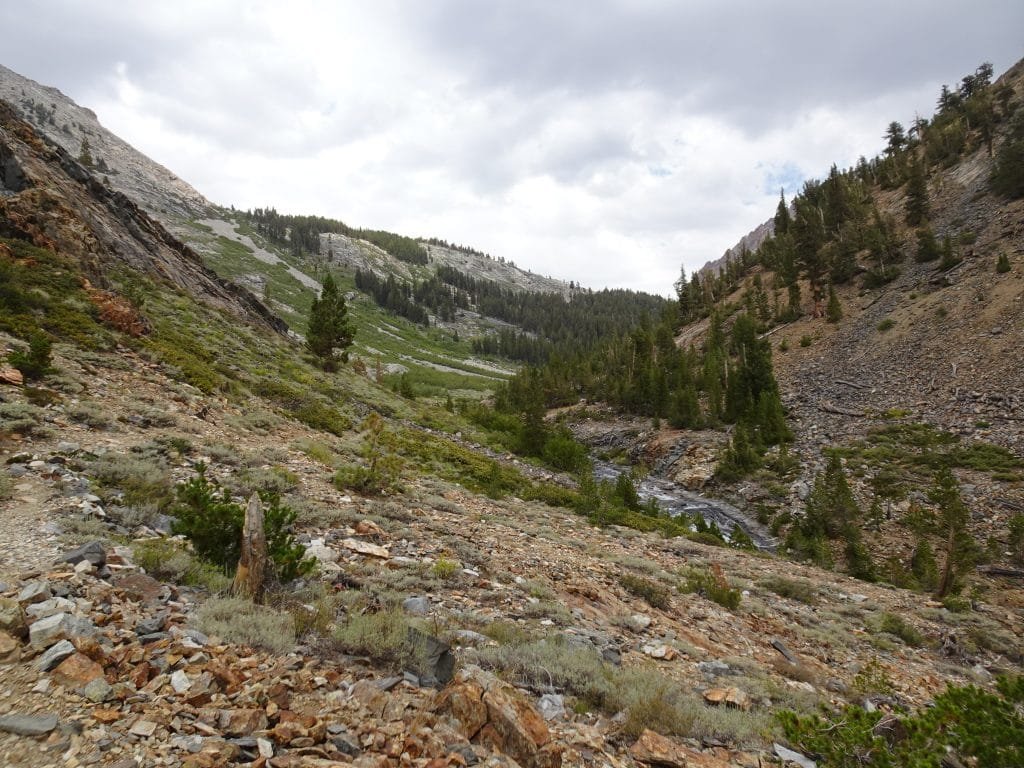
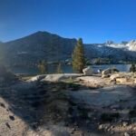
Looking to the south, there was another meadow below me followed by a long line of jagged mountains. I could see where the trail would take a sharp right turn to go down a long canyon with Woods Creek running down it, but beyond that, I was hiking into the unknown.
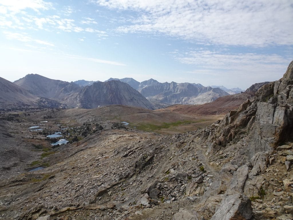

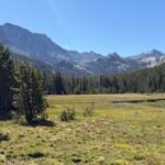
After enjoying the view from Pinchot Pass, I headed down the south side. The switchbacks on that side were also very straightforward and soon I was hiking through the meadows. Again, the mountains on this side were pretty colorful.


And then the rain started again. So that wasNINE days with some form of rainfall. Fortunately, for the first 7 days I had avoided having to hike through the rain, but it still was getting a bit annoying at that point. The rain was a bit intermittent at first, but most of the hike down along Woods Creek was in the rain.


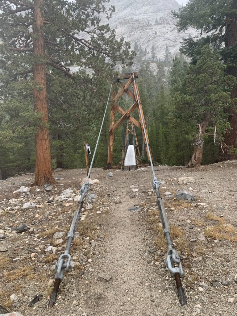
As I approached the Woods Creek Trail Trailhead, I was looking for the suspension bridge indicated on my map. When I saw a simple log bridge over the creek, I was a bit amazed at the grand name for… oh… the suspension bridge was just beyond it. 🙂
I was a nice bridge and looked good. As I watched the two hikers ahead of me go across before me (one at a time), I was pretty surprised at how much the bridge swung and bounced as they walked across it.
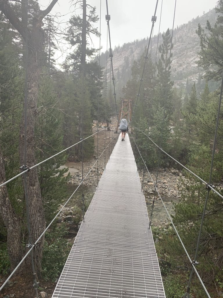
It looked a lot like a bouncy castle as they crossed. 🙂
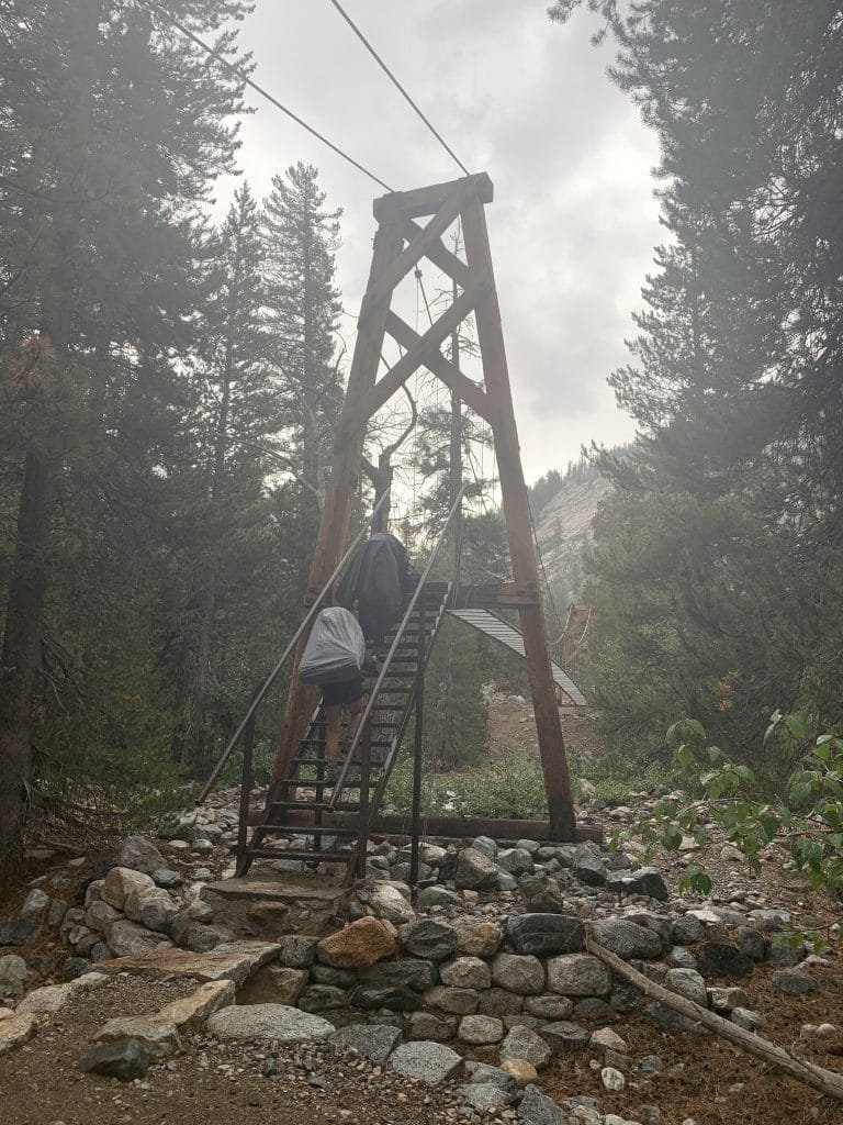
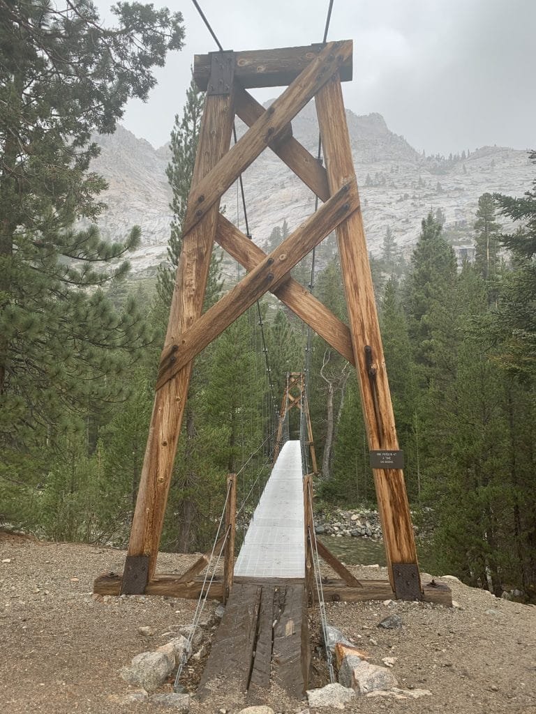
I can see why the sign on the bridge said ‘one person at a time’ since both of them had to hang on tightly to keep on the bridge when it bounced and swayed with every step they took. I wish I had thought to record a movie of it.
Then it was my turn. Maybe I should just ford the creek instead? 🙂
Putting that thought behind me, I grabbed the cables making up the handrails and stepped onto the metal platform that made up the floor of the bridge. I slowly made my way across and eventually made it to the end. Sighing with relief, I thought about my options.
It was still raining fairly heavily. The campsite info showed several spots about 2 miles up the trail towards Glen Pass with about 900 feet to climb.
Yeah, that wasn’t happening that day.
There were a lot of campsites around the suspension bridge, so I grabbed one that had a big tree providing a lot of cover from the rain. Without the rain, I might have searched around a bit more, but at that point I just needed to get out of the rain. There were a small group nearby (although they had a HUGE tarp strung between trees that gave them a nice dry area), but other than that no one else setup camp around that area that night.
Thanks to the tree covering me, I was able to setup my tent without waiting for the rain to stop. I even could put some of my wet clothes out on top a boulder since the tree covered it too. Not sure how much they’d dry, but it was better than putting them inside the tent.

Looking at the map for tomorrow, Glen Pass (11,926 feet) was a long way away (9 miles) and was over 3,500 feet to climb up to it.
Since my resupply at the Charlotte Lake Trial junction was between 11am and 1pm, there was no way I was going to make it another 4 miles past Glen Pass by 1pm.
I sent Berners an Inreach message saying that they shouldn’t wait at the junction for me and should take my resupply package right to the lake. Even getting all the way to the lake by the next night would be a challenge. They could leave it for up to 24 hours in the bear box there, but it would be nice to get there by the next night.
Going to bed a little early, I hoped to get started as early as possible tomorrow. 13 miles was not going to be a easy hike.
11 miles hiked, 9:00 hours, 1,300 feet climbed
169 total miles hiked on the JMT
Highlights:
• Pinchot Pass – 12,050 feet (Pass #8 Conquered!)
• Day nine of some kind of rain, day 2 of hiking through the rain
• Bouncy suspension bridge
• Daily Goal Achieved!


1 Pingback