I took another day off after Mt Yale. Partly to recover and partly since the weather report was a bit iffy for that day. Since I planned that Mt Princeton would be my final 14er for this trip, I didn’t want to chance bad weather spoiling the finale.
I did think about driving up the night before and camping at the trailhead, but decided a real bed and real food was the best choice for me at that point in the trip.
Mt Princeton was a relatively short hike, so there wasn’t a need to get a real early start for this final 14er anyway.
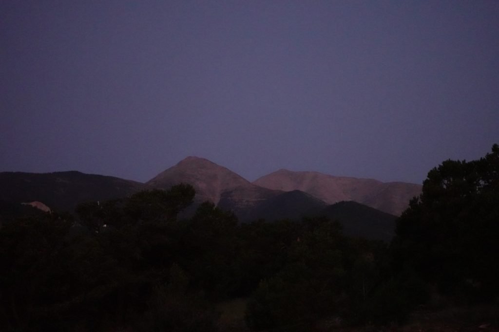
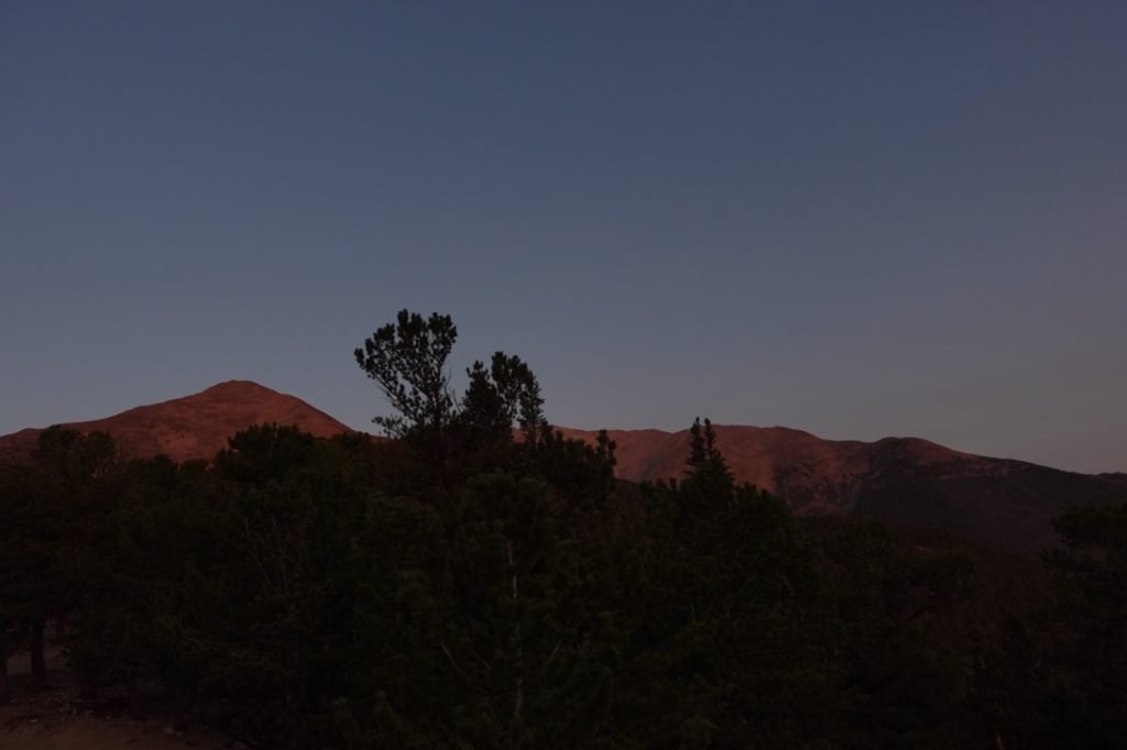
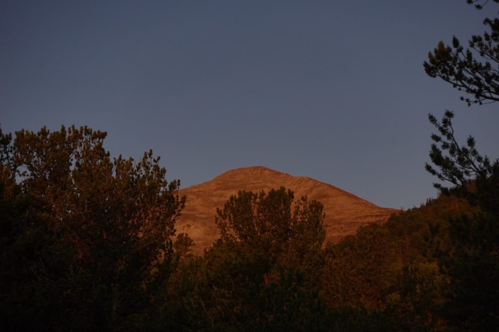
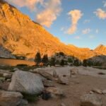
Even so, did still leave my hotel in Salida before sunrise and was rewarded with some nice colors along the drive to the Mt Princeton trailhead.


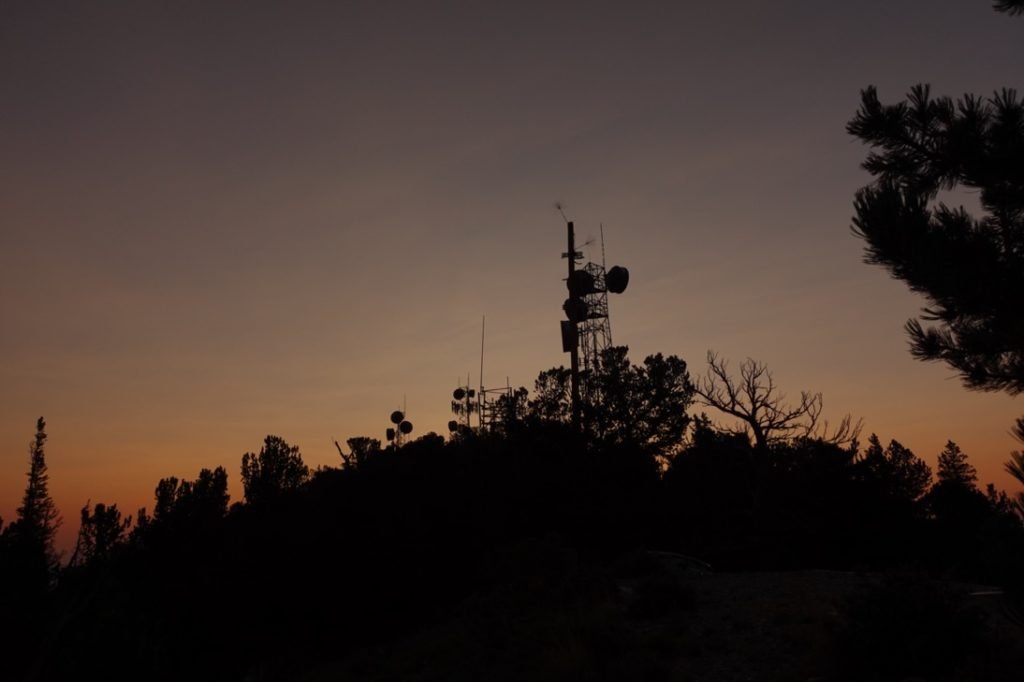
I passed the main trailhead and continued up the 4WD road to the upper 4WD trailhead near the radio towers. This would save me a LOT of hiking and is one of the traditional starting points for hikers of Mt Princeton.
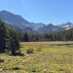
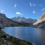
I passed the Colorado Trail on the way up and briefly thought of the Collegiate Loop that I was not able to do. It would have been nice, but in the end the desire to climb the 14ers was stronger.
I reached the radio towers and after a bad attempt to park on a steep bank, I just pulled in next to another car. Sometimes the first open spot you see is not the best one to use. 🙂

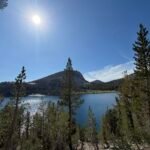
As I started my hike, I again had some nice color from the rising Sun to enjoy as I went.


The first part of the trail was along the 4WD road, so was pretty easy to hike. I could have driven up even further along the road before starting my hike, but I felt that the radio tower was the more traditional starting point.
After a few switchbacks on the road, the hiking trail branched up from the road and started the serious part of the march towards the the summit.

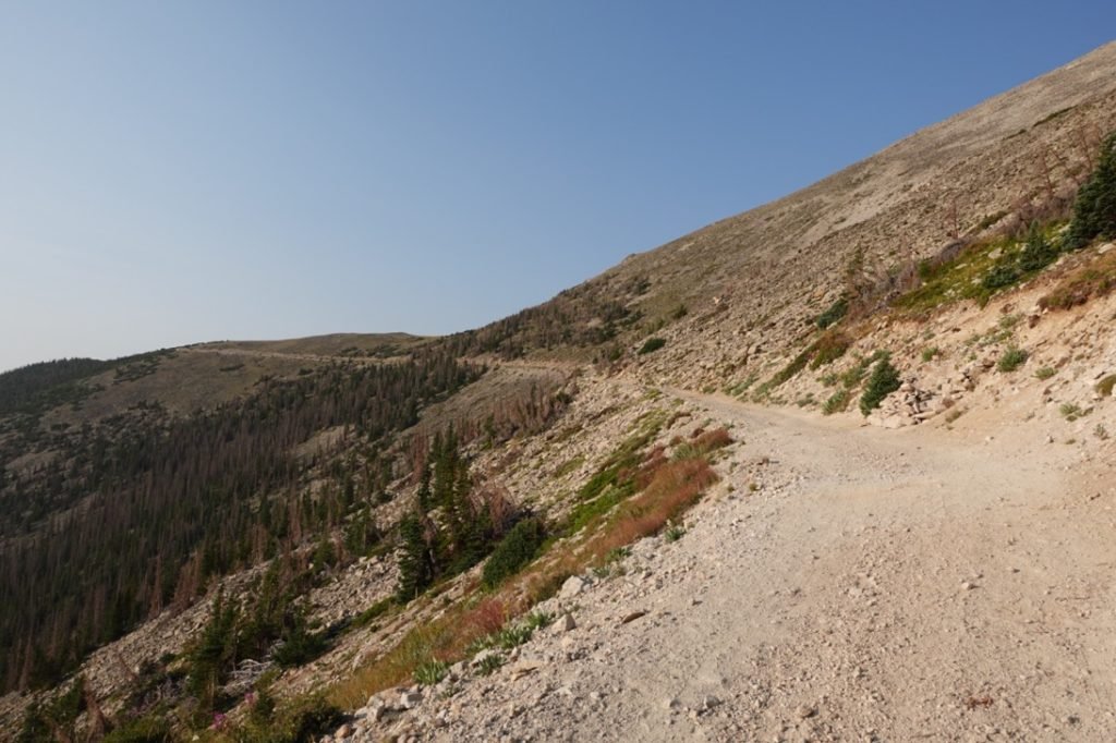
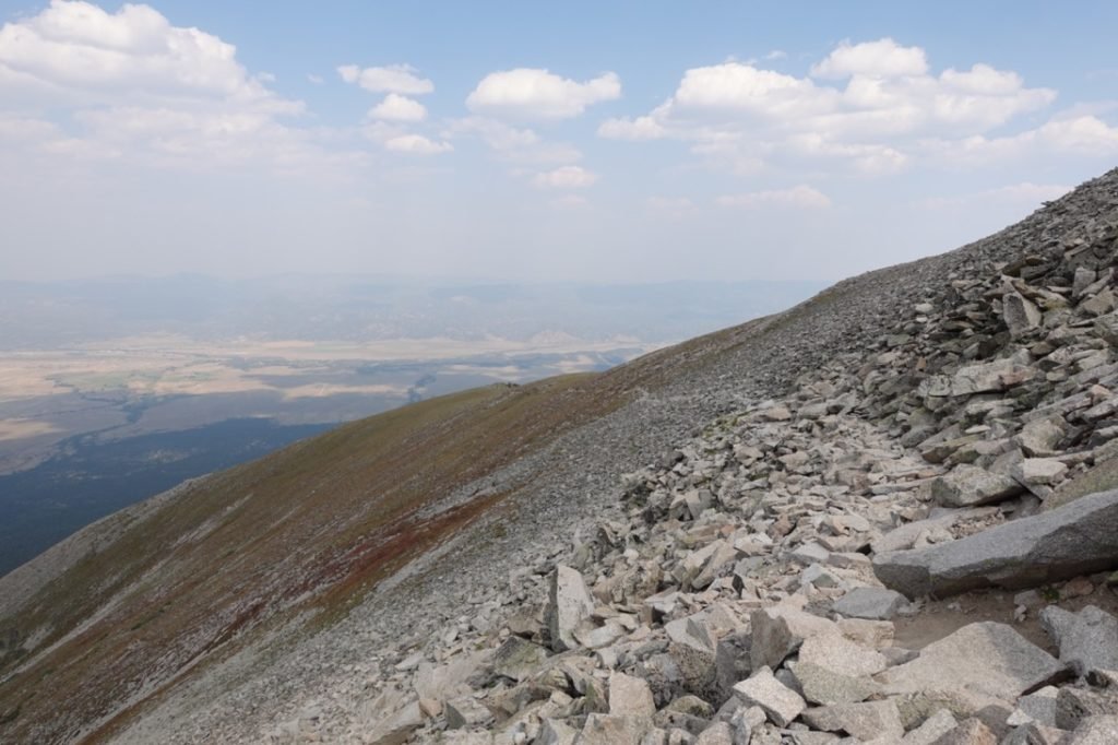
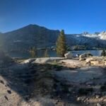
The first part was a easy dirt trail that snaked up along the last bit of vegetation on the mountain. Then the rocky part of the mountain began and the trail became a little more difficult to hike over. It wasn’t hard to follow, I just had a lot of rocks and random trail parts to navigate.


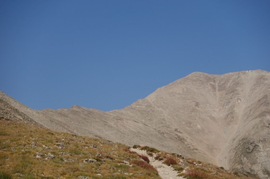

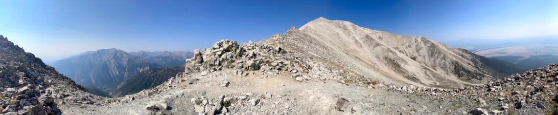
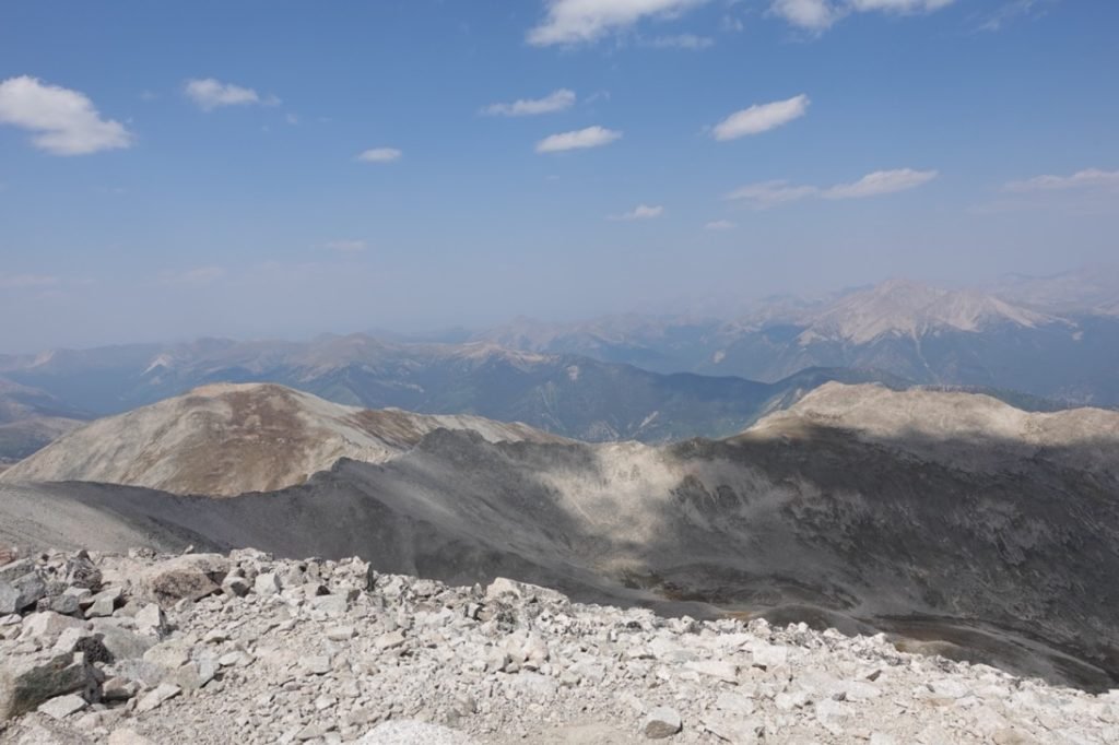
As the summit came into view, I could then see the entire trail that I would have to use to get to the summit. Well, I could see most of it. It went horizontal along the side of the ridge.

Then (according to the map) switchbacks would get you up to the top of the ridge that I’d have to climb up to and then cross that ridge to reach the summit. I couldn’t quite tell where the switchbacks were, but the horizontal trail went most of the way along the ridge.


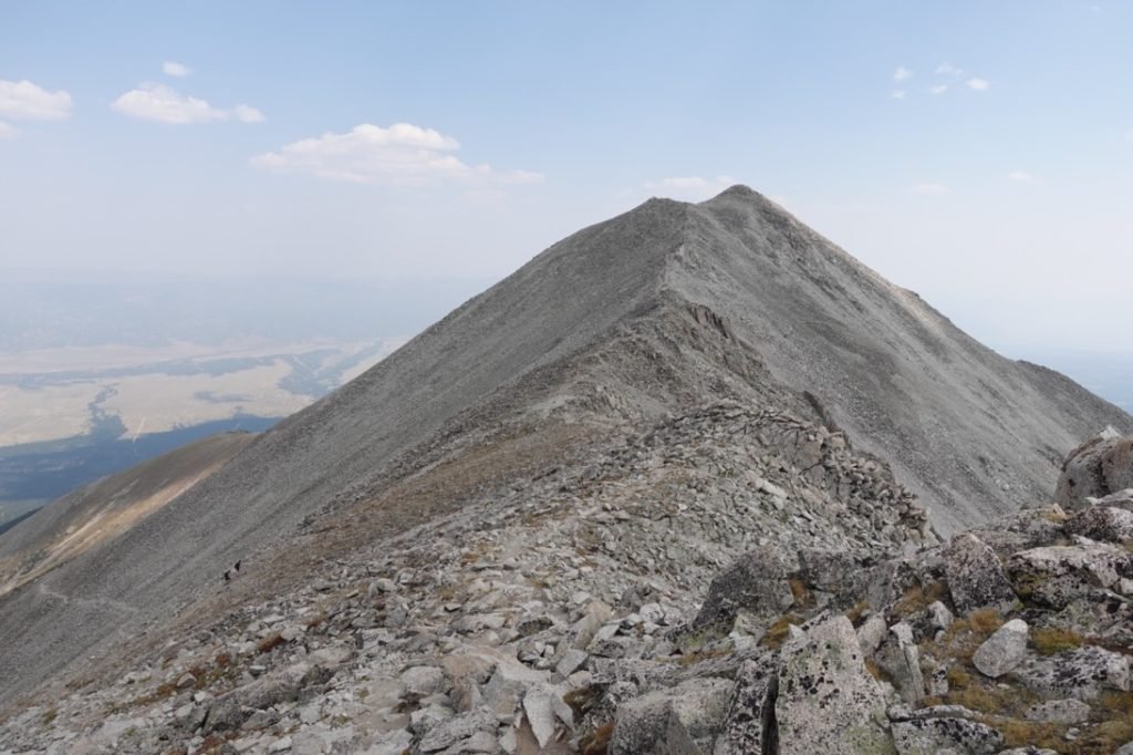
I was half way to where I thought the switchbacks would start when I hit the first switchback.It turns out the trail that continued was either an old trail or a use trail created by people cutting the switchbacks as a shortcut.
So, I climbed the switchbacks earlier than expected. As switchbacks go, they were very easy. Which was the last easy part of this trail. 🙂


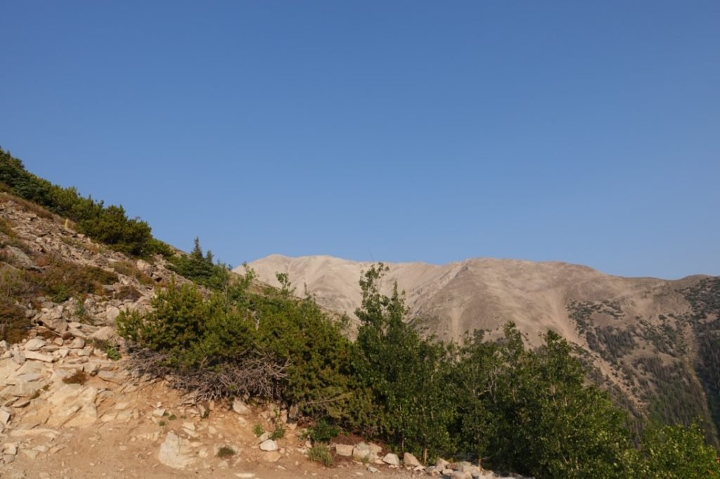
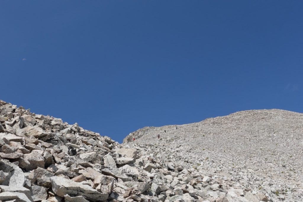
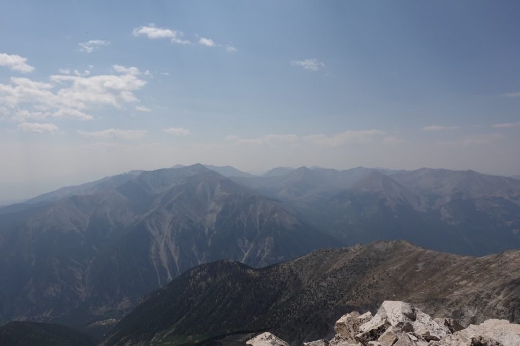
The trail snaked across the top of the ridge from that point. It wasn’t always a clear trail and there were several variations I used before I reached the steep part of the ridge.


While short, this last part took a long time to navigate. The steepness and the vague trail combined to make my last 14er quite a challenge at the end.
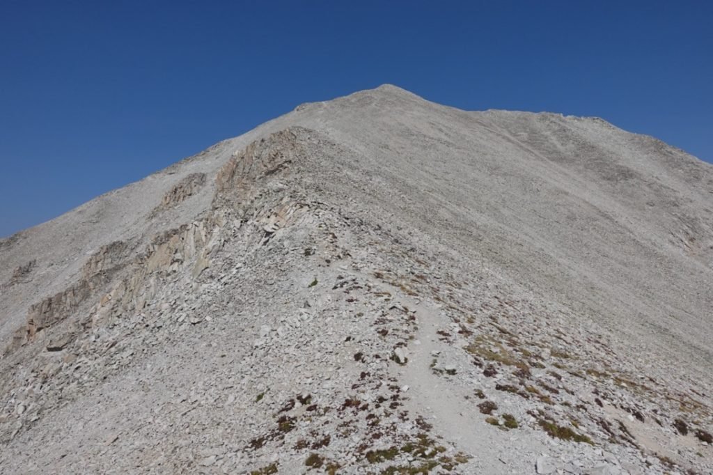

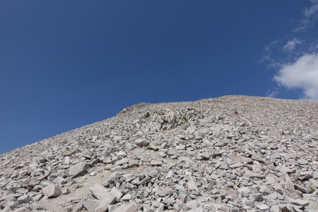


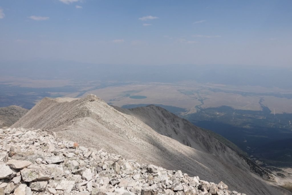
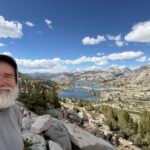
There were a couple false summits to ignore, but eventually the final summit came into view.
Mt Princeton 14,197 feet!!! My sixteenth Colorado 14er overall and ninth for this trip.


It was a rough last mile, but the views and satisfaction of completing my core list of 14ers was a fantastic feeling! Even if Mt Elbert was a duplicate of my first trip to Colorado to climb 14ers, doing nine 14ers altogether during this trip felt like a fantastic achievement to me.
My feet and legs still hated me. 🙂
One thing I was bummed about was that I had hoped to reach the summit of Mt Princeton before 12pm noon. Except for the climb up Mt Columbia that was a short hike since I started from Horn Fork Basin, I had not been able to reach any of the other 14er summits before noon during this trip. In fact, quite a few of them were very much later than noon.
It was a minor disappointment in the grand scheme of things, but it was about 5 minutes past noon when I finally reached Mt Princeton’s summit.
Regardless, I enjoyed the view and celebrated my final 14er for the trip. I wasn’t in a hurry, but did start back down after a half hour or so.


Not for the first time when descending mountains, I found it MUCH easier to follow the trail on my way down. Still took it slow so I didn’t injure myself. I’d hate to get injured on my final 14er.

After crossing the ridge and descending the switchbacks, I took a break and checked to see where I could stay for the night. I checked Mt Princeton Hot Springs, but there were no rooms. Not even ridiculously expensive ones.
I didn’t want to go to Salida or back to Buena Vista, so decided to start back to California on highway 50. Gunnison seemed like it was too far, so I checked with the ski lodge in Monarch. It had been on my list as a possible rest stop if I had done the Collegiate Loop. They had a room (turns out a LOT of rooms), so I booked it and continued down the trail towards my Jeep.


Reaching my Jeep, I had my typical celebratory Diet Coke and then drove slowly down the 4WD road until I hit pavement once again.
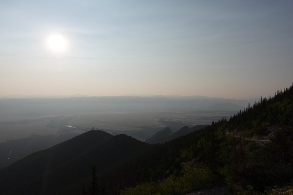
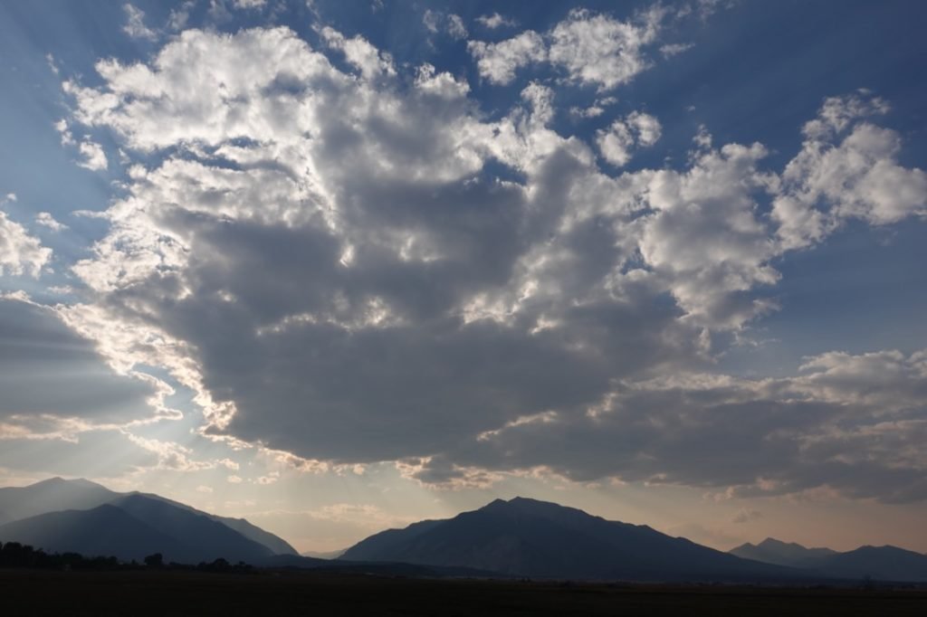
As I drove down to Monarch, I again had some opportunities to see the Sun casting some great light across the clouds and mountains.


At the Monarch hotel, I took a shower, had a big dinner, then soaked in the hot tub. Ahhhhhhh…


I found out that I was actually only one of three people staying at the hotel. It turns out they were basically closed due to staff shortages, but are allowing hikers to stay as needed. Very good of them. Of course, normally Winter is their big season because of the nearby ski area.
And with that I finished my 14er climbs for this trip. What a great few weeks.


1 Pingback