After my successful (if very slow) completion of the Sonora Pass to Echo Lakes (section J) of the Pacific Crest Trail (PCT), I did want to do other parts. For Labor Day weekend, I had started to think about doing the small part of the PCT I had missed when I aborted at Tilden Lake in July. I could start at Sonora Pass and go south until I reached Tilden Lake to finish section I. That would likely take 2-3 days. Of course, it’d have to get back to my Jeep. I could either retrace my steps, exit via Hetch Hetchy (but that would complicate getting back to my Jeep), or loop down through Kennedy Meadows (which would be a little easier and quicker way to get back to my Jeep).
As Labor Day approached, the fires in and around Yosemite made that area very smokey. So, I looked north to where I could do the third leg of the PCT section hike that I had tried to do in July: Echo Lakes to Donner Pass. Instead of taking a whole month rest like it did between sections I and J, this would only be about 1.5 weeks between section J and K. Ten zero days. 🙂
It would likely be 6-7 days to do this 65 mile section that runs along the mountain ridges to the west of Lake Tahoe.
The tricky part is that it would start in the Desolation Wilderness, which has permit requirements and was also popular (and would likely be crowded for Labor Day weekend). Fortunately, I could get a permit for hiking the PCT through the Desolation Wilderness somewhat easily and went up on Friday to handle that. I was a little surprised that I could only camp for 2 nights in the Desolation Wilderness on the way through it. That was what I planned and hoped to do (camping at Lake Aloha and Dicks Lake), but you can never be sure how fast you’ll go when you’re on the trail (for example, see my “7” day section J hike that ended up taking 10 days).
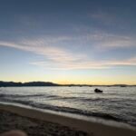
After getting the permit, I did a little sightseeing along Lake Tahoe’s shore. I didn’t get up there as much as you’d think, mostly since it tends to be pretty crowded. But it still has some great views and things to do.

I ended up winning around $300 at the casinos and then having all-you-can-eat Sushi for dinner. Only after finishing dinner, did I worry that eating raw fish before a big hike may be a bad idea. Fortunately, I didn’t have any ill effects during my hike.
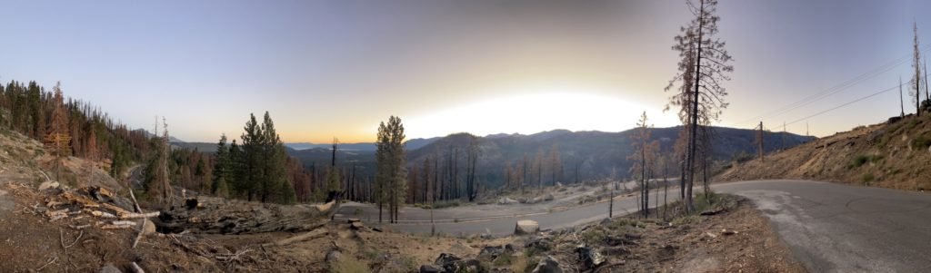
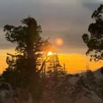
I stayed at a hotel that night and got up early to drive up to Echo Lakes along highway 50, getting a chance to see some morning light and then getting the LAST parking space available. Although two cars were parked lengthwise and taking up 8-10 spaces because of it. I thought they may be trying to save spaces for friends (one even had a roof tent up on top). If I hadn’t found the one spot I did, I would have asked them nicely to please re-park their cars properly.
Goal for the day: Reach Lake Aloha
I started where I had finished a week and a half earlier: Echo Lakes.

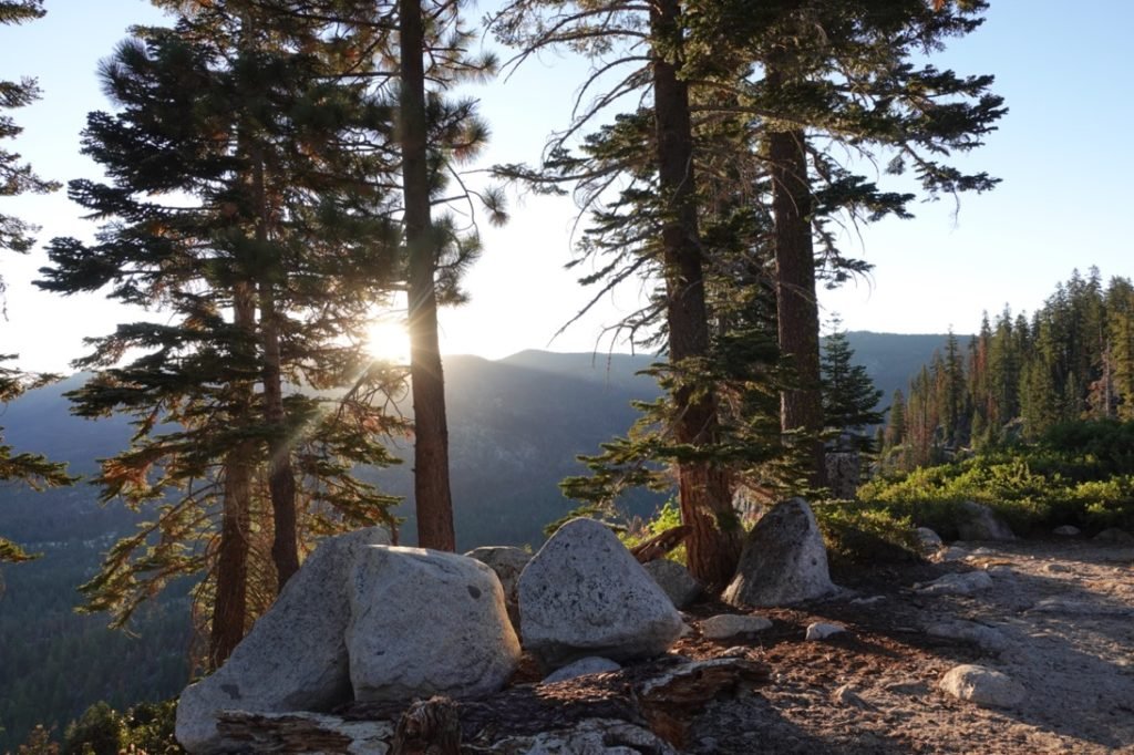
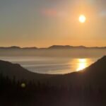
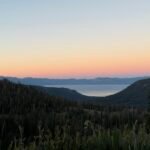
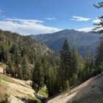
I saw some nice morning light as I started up the trail alongside Lower Echo Lake. It was a pretty gentle slope to climb up. Since most of this area was private property, small cabins dotted the lake shore.
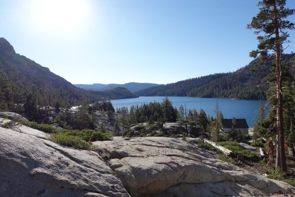

After Upper Echo lake, the trail became more steep and I wondered if I should stop at one of the smaller lakes before my primary target: Lake Aloha.

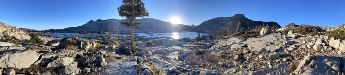
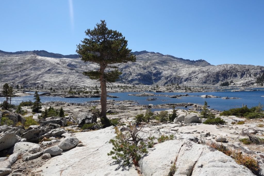
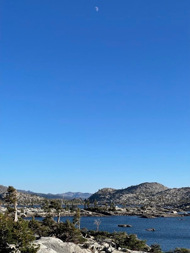
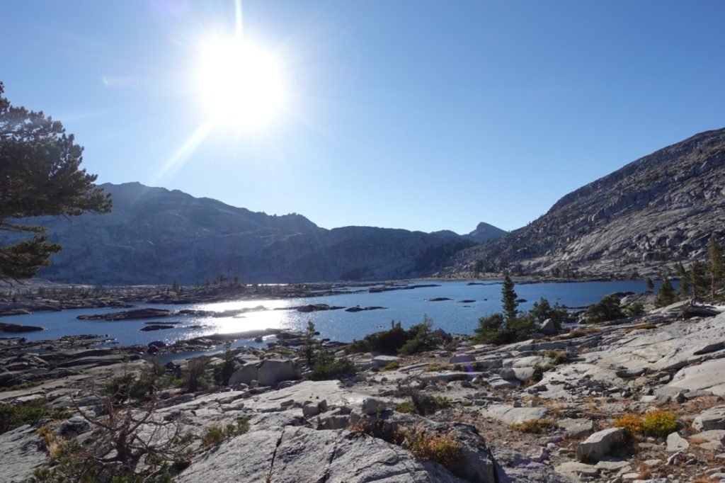
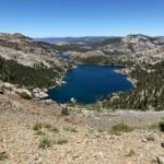
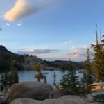
But after taking some short breaks whenever those thoughts entered my mind, I made it to Lake Aloha!

I enjoyed a break at the southern end of the lake and filled up my water. I also mixed up a bottle of Gatorade and somehow lost the little vial I used to hold the Gatorade mix I used on the trail. I could use small Ziploc bags, so not the end of the world.
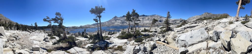
Since the southern side had a lot of camping spots and was likely to be more crowded since it was closer to Echo Lakes, I continued down the shore of the lake towards the northern side of the lake. After passing several people camping WAY too close to the lake shore (you needed to be at least 200 feet from all water sources), I found a nice spot on the other side of the trail from the lake. While a lot of people like to be near the shore to camp, this spot had access to the lake, but also had a panoramic view of the entire lake.
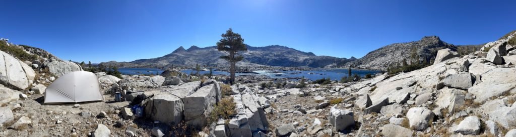
After setting up my tent, I made my way to the lake shore to get some water and then…
I jumped into the lake!
I spent a good half hour swimming and enjoying the lake. One of the reasons I had wanted to do a hike in the mountains was that California was having a heat wave and I wanted to get away from the 100 plus degree heat expected in the SF Bay Area. At 6,000 feet at Lake Tahoe’s shoreline it was still expected to be hotter than normal, so even at 8,000 feet it was still a bit toasty.
While it wasn’t that hot along the trail, it definitely was a very warm hike and those spots without shade quickly made me want to enjoy air conditioning. 🙂 A cool Sierra lake was the next best thing.
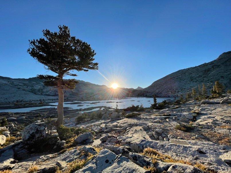
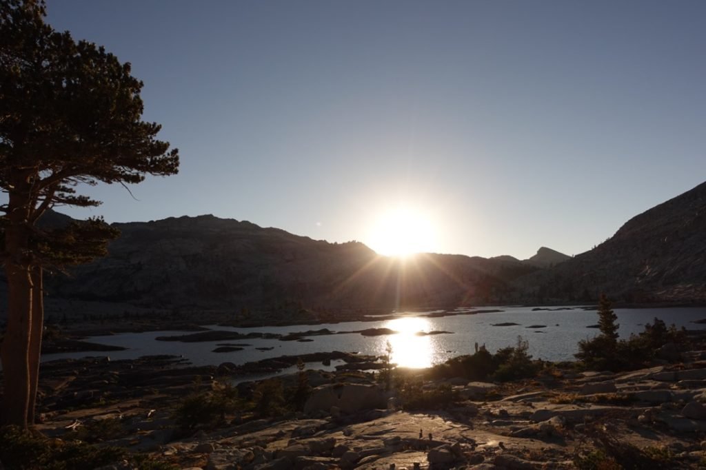
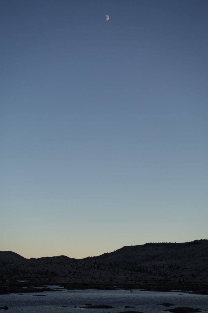
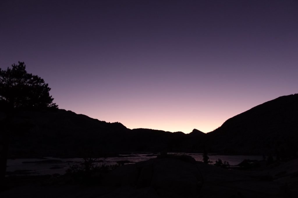
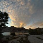
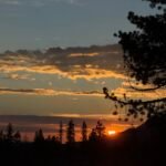
I had thought about watching the sunset from the lakeside, but decided the more panoramic view from near my camp was a better choice. I think I chose wisely.

Goal!! After my two very short days when I started north from Sonora Pass (4.5 and 6.5 miles), I was pleasantly surprised that I made it 7.5 miles on this first day.
7.5 miles (7.5 miles on PCT)
7 hours on the trail
7.5 total miles hiked on this section of the PCT
57.5 miles to go until Donner Pass


1 Pingback