Goal for the day: Dicks Lake or beyond
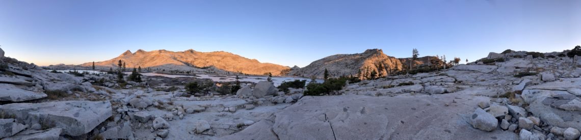
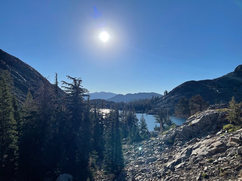
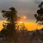
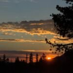
I awoke to some nice light across the lake from me that I enjoyed over breakfast.


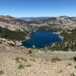
While the prior day was not that strenuous, this day would include climbing up to Dicks Pass (9,150 feet) from Lake Aloha. Unfortunately, to start I’d have to descend past Heather Lake and Suzie Lake. That would make the overall assent for the day almost 1,700 feet. What fun. 🙂


As I passed the lakes, I began the long climb up to Dicks Pass. It was a long, slow slog. As I neared the top, I passed a couple of small creeks crossing the trail. I should have stopped and checked how much water I still had, but thought I had more than enough for the hike up Dicks Pass and down to the lake.
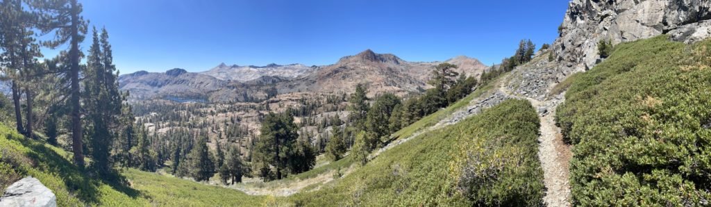
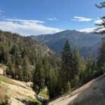
As I reached Dicks Pass, I celebrated by taking in the view of the area on both sides of the pass. What a wonderful view. Almost made the hard climb worth it. Almost… 🙂


When it was time to descend, I looked down the north side of Dicks Pass and… couldn’t see a trail. I couldn’t even see any possible way down the north side.
I saw some people coming down from Dicks Peak on a use trail, but that went up instead of down. There was a trail on the other side going up as well. I had to scour a couple different maps, but it turns out that the PCT still climbed up another 200 feet or so before reaching another Dicks Pass.
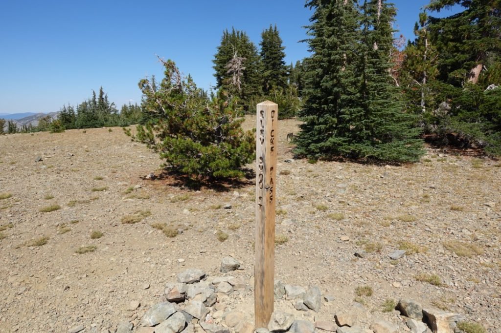
Yes, my main maps showed that I was at Dicks Pass at 9,150 feet, but it looks like there was a second Dicks Pass at 9,385 further along the ridge. I’m used to seeing false summits as I climb up to the real summits, but usually when a map says you’re on a particular pass, you’re actually on it.
Nothing else to do than continue up. Well, I did have a momentary thought about camping up there, but knew I’d have to go back and get some more water for cooking from the streams I had passed. It was also still pretty early in the day, so after a brief rest, I continued upward. Of course, I was cursing Dick the whole way. What a Dick.

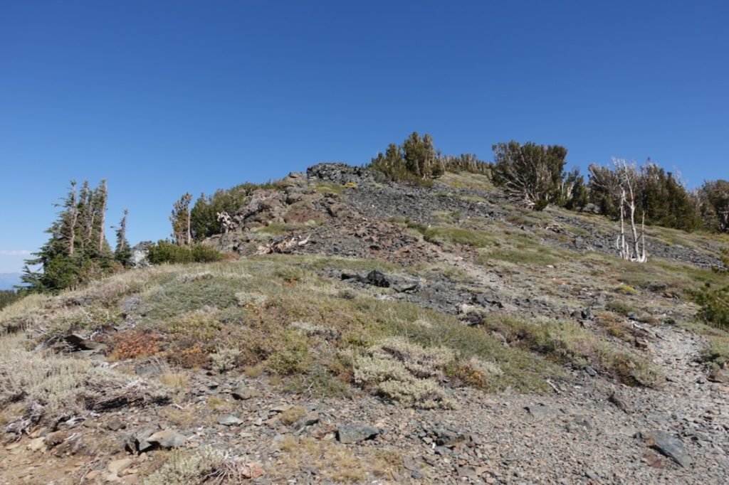
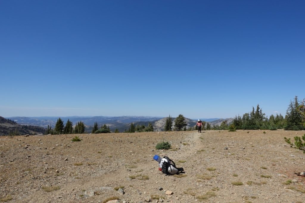
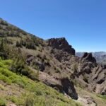
As I climbed, I looked back and realized why the PCT had to continue climbing up from Dicks Pass: There was nothing but loose scree running down the north side of where Dicks Pass was. I could not imagine how a trail could be built directly down from that point.
Obviously, the people who built the PCT also couldn’t image it either, so they had to build the trail up along the ridge some more before starting the descent to Dicks Lake. Even knowing that, it still sucked to be faked out by two Dicks Passes in one day. What a couple of Dicks.
Once I reached the second pass, I celebrated with a brief break and pictures. The PCT’s version of Dicks Pass was a more open area without any direct drop off to either side of the pass. I assume the first Dicks Pass was the original one discovered by someone named Dick, but the second one was needed to allow the PCT to safely get people over the pass(es).
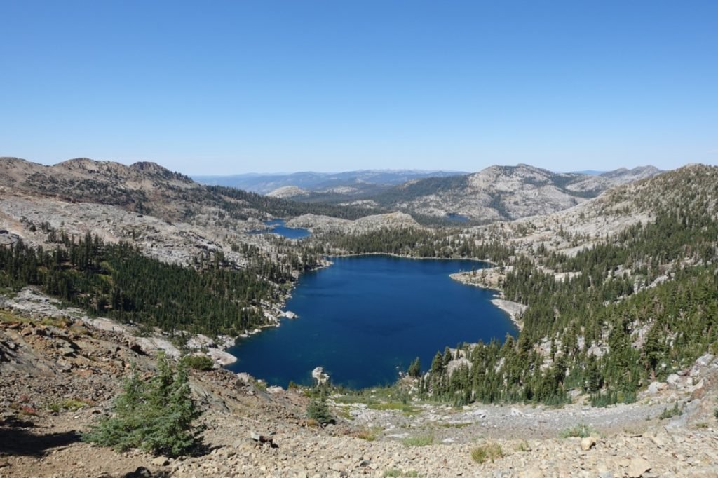
There were again some nice spots I could have camped, but I chose to continue down to Dicks Lake.

I started down the other side (finally) and headed towards Dicks Lake. While Dicks Lake was my main target, I also had the option of continuing to Fontanillis Lake or Middle Velma Lake.
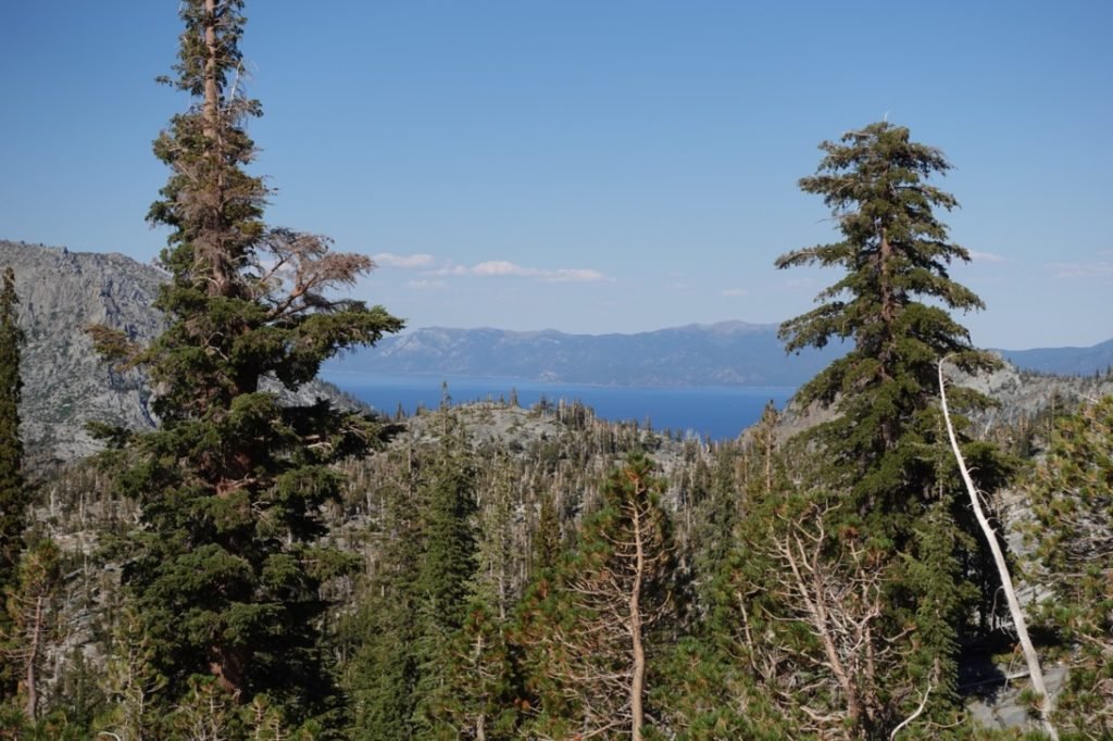
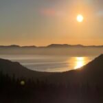
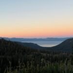
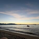
As I descended, I got my first view of Lake Tahoe from the trail. I was actually surprised at how rarely I had seen it during this hike.
On the way down, I must have stepped on a pointy rock or stepped on an angled boulder or something. My foot twisted and I felt a sharp pain in the middle of the ball of my left foot. Shaking it off, I continued down towards the lake. It wasn’t anything that hadn’t happened dozens of times before on my hikes, so didn’t really pay it any particular attention.

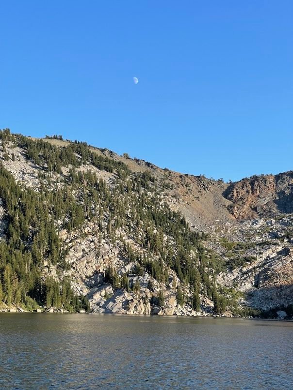
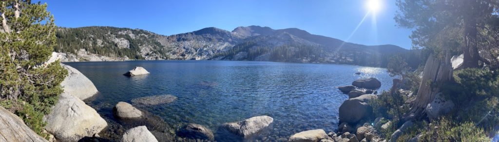
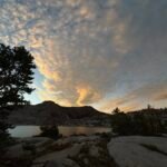
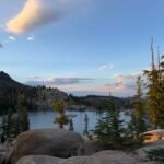
Reaching the lake just as I sucked the last of my water out of my water bladder ( I really should have added some water at the small creeks below Dicks Pass), I decided that I had no real desire or reason to continue to one of the other lakes. So, I started looking for a place to camp. The southern side of the lake had a lot of use trails leading to spots people had used for camping over the years. Being Labor Day weekend, there were a lot of people at the lake, but I finally found a site that I liked. I had almost put up my tent on a path near the water, but decided the slope of that trail was not ideal for sleeping.
It looked like regardless of where I choose to setup my tent, I’d have to do a little scrambling to get down to the shore of the lake. There were plenty of use trails to guide me down so I could refill my water and jump in the lake!!

Again, it was a fairly warm day and I welcomed the cool water to swim around in and get some of the trail dust off of my sore body.
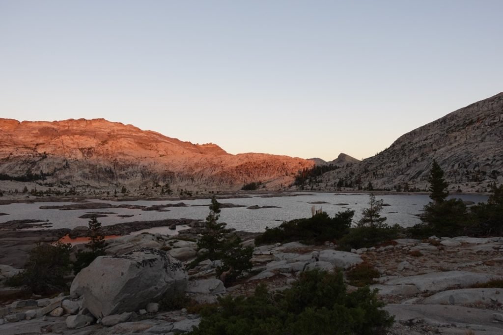
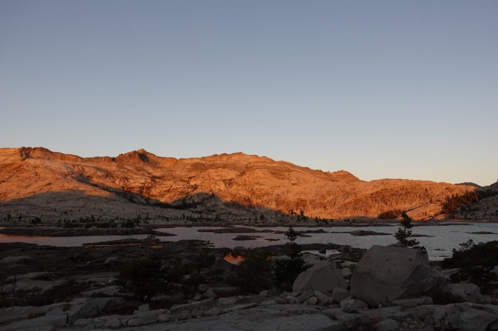
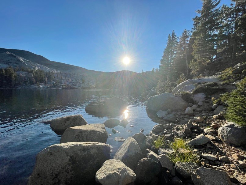
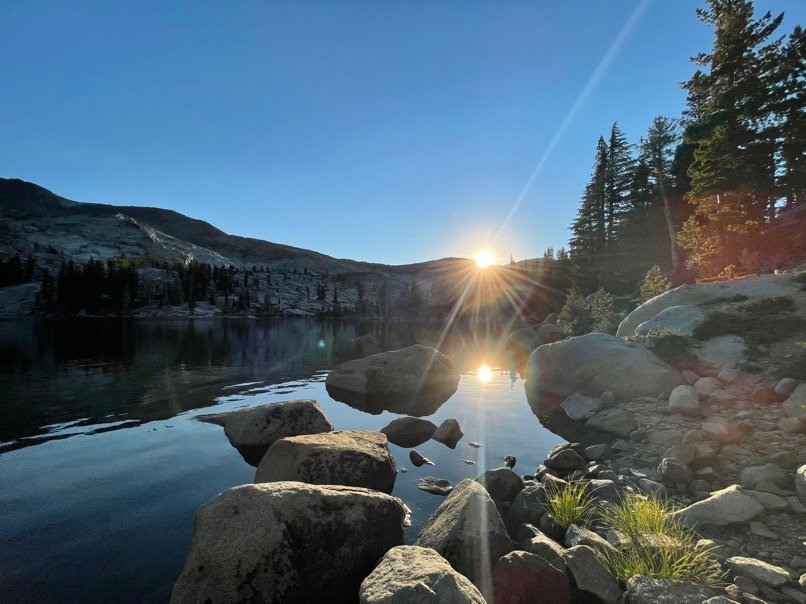
After setting up my tent, I went back down to the lake and had dinner by the seashore while I waited for sunset. As usual, it was well worth the hike and wait to get to see the sun dip below the cliffs and cast it’s light across the lake.

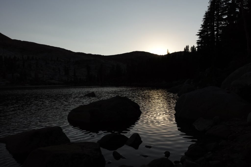
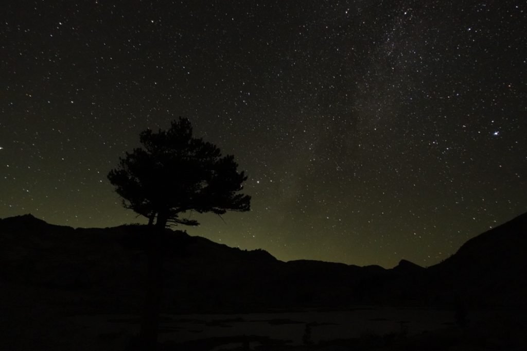
I retired to my tent feeling pretty good about my progress.
Goal!!
9 miles (8.5 miles on PCT)
9 hours on the trail
16 total miles hiked on this section of the PCT
49 miles to go until Donner Pass


1 Pingback