After aborting my thru hike and then playing tourist on Pikes Peak, I decided climbing Mt Elbert should be next. The weather report did have some bad weather moving in the next afternoon, so didn’t want to do Mt Yale or Mt Princeton, I also didn’t want to take another zero day off. Since this would be my second climb of Mt Elbert, I figured I’d take the chance on the bad weather and try climbing it.
The first time I climbed it three years ago, I used the standard Northeast Ridge route and found the final rocky switchbacks horrible to navigate. Not sure if they’ve done any repairs on that trail, but wanted to try a new route this time. Plus the main trailhead was closed due to road construction, which would add about an extra mile of hiking.
So, I decided on doing the East Ridge route from the South Mt Elbert trailhead. As a bonus, I could drive to the 4WD trailhead and save close to 1.8 miles of hiking on this route.
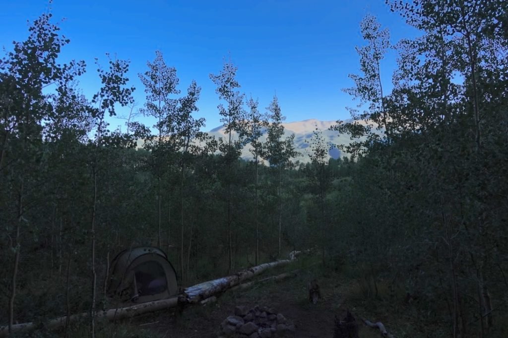
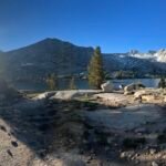
Because of the bad weather forecast for the next afternoon, I wanted to get an early start. So, after driving back from Pikes Peak, I drove to Twin Lakes and drove up to the 4WD trailhead. I stopped a little short of the trailhead at a turnout that looked like a good camping spot and setup my pop-up tent. That would allow me to get a real early start the next morning.
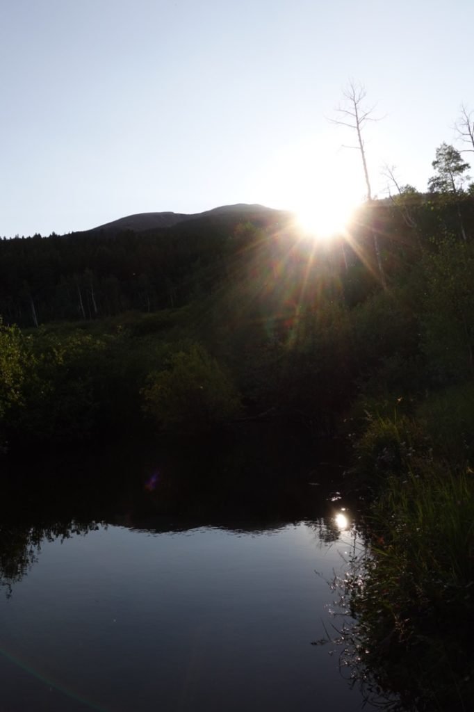
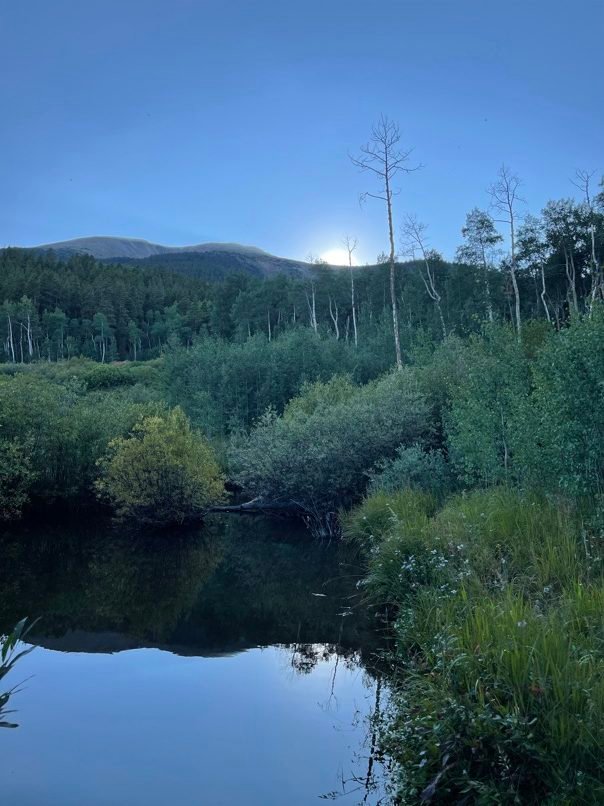
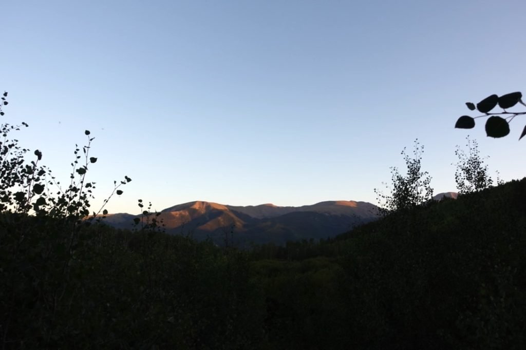
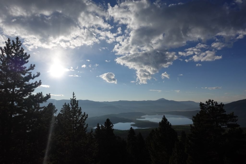
I was surrounded by trees, but I followed a little use trail and found a nice open area where I could see the sun drop behind a ridge. I ate a sub sandwich I had picked up in Buena Vista (instead of re-hydrating a backpacking meal) and watch the light from the setting Sun.
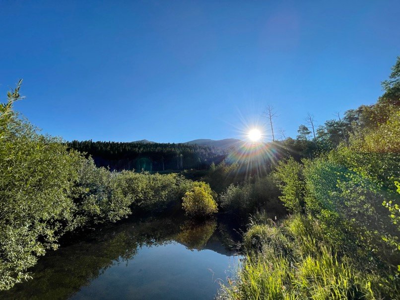
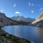
I even caught some reflections of the Sun in a pond that was nearby. Later, the orange glow from the sunset reflected off a mountain range to the south of me.
I went to sleep feeling pretty good.
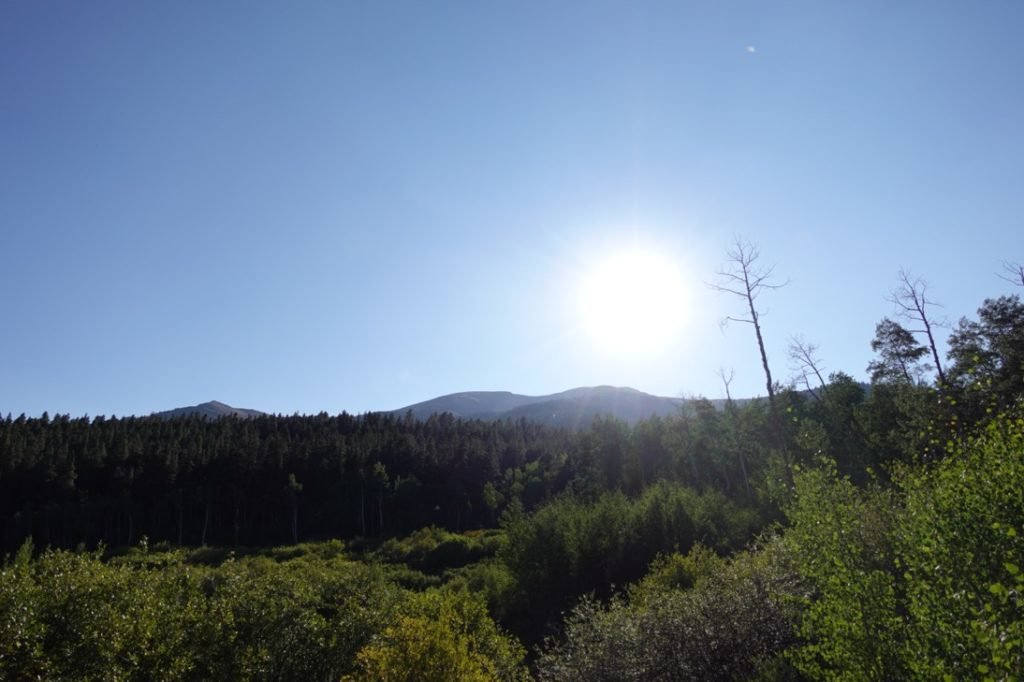
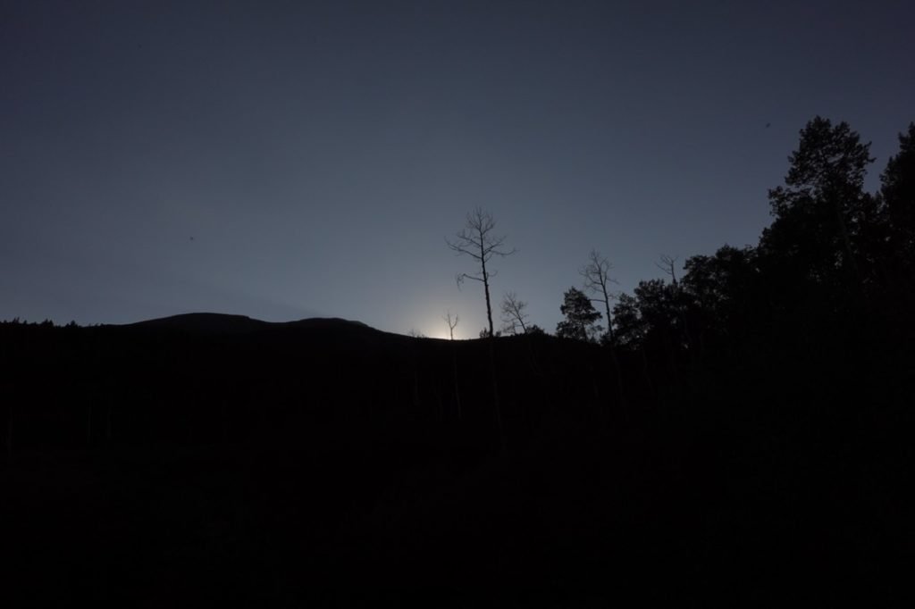
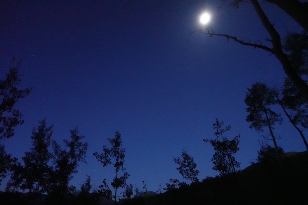
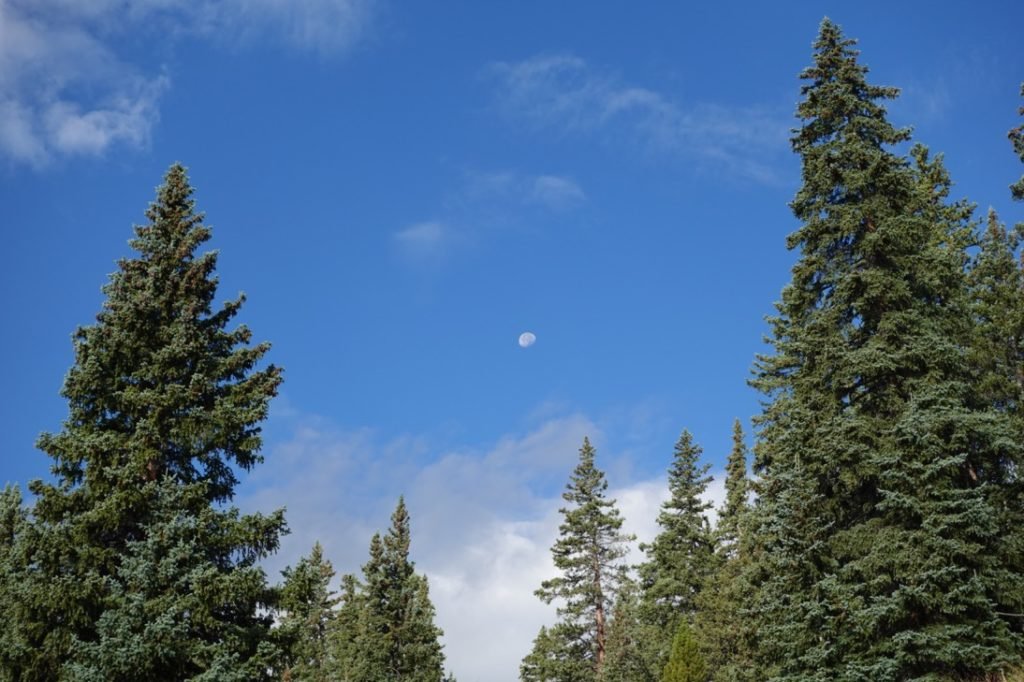
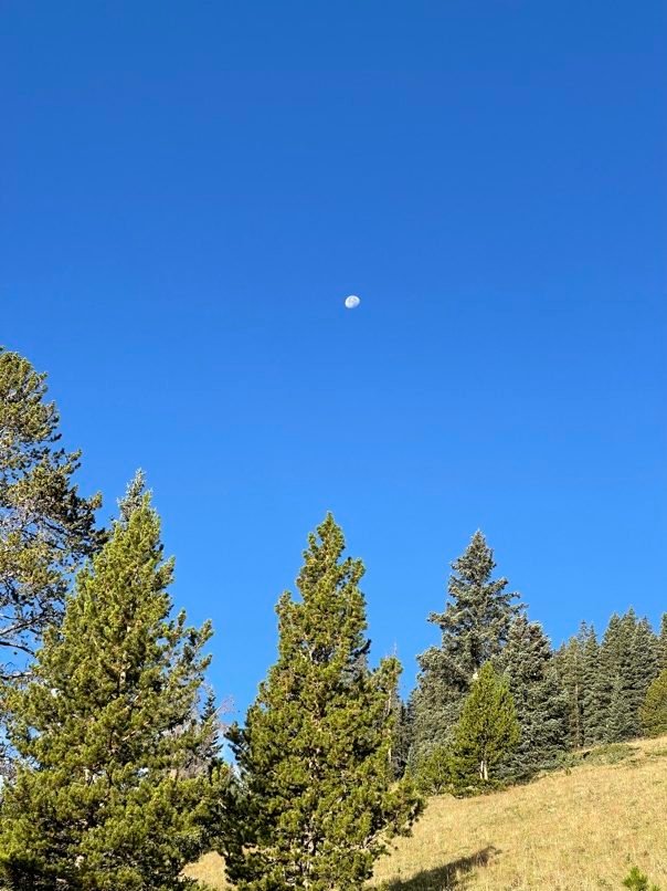
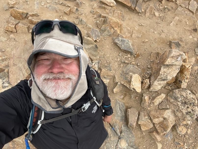
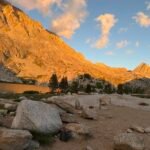
I woke up well before dawn and had a quick breakfast of cereal and donuts. I left my tent setup and Jeep parked there to save time. With a quick view of the moon and stars showing over the trees, I started up the third of a mile to the South Mt Elbert 4WD trailhead with my day pack and headlamp on. I decided NOT to take my water filter since there weren’t many water sources higher on the trail.
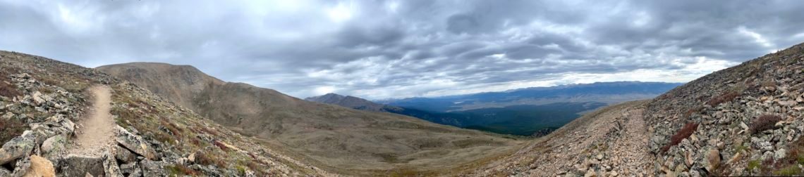
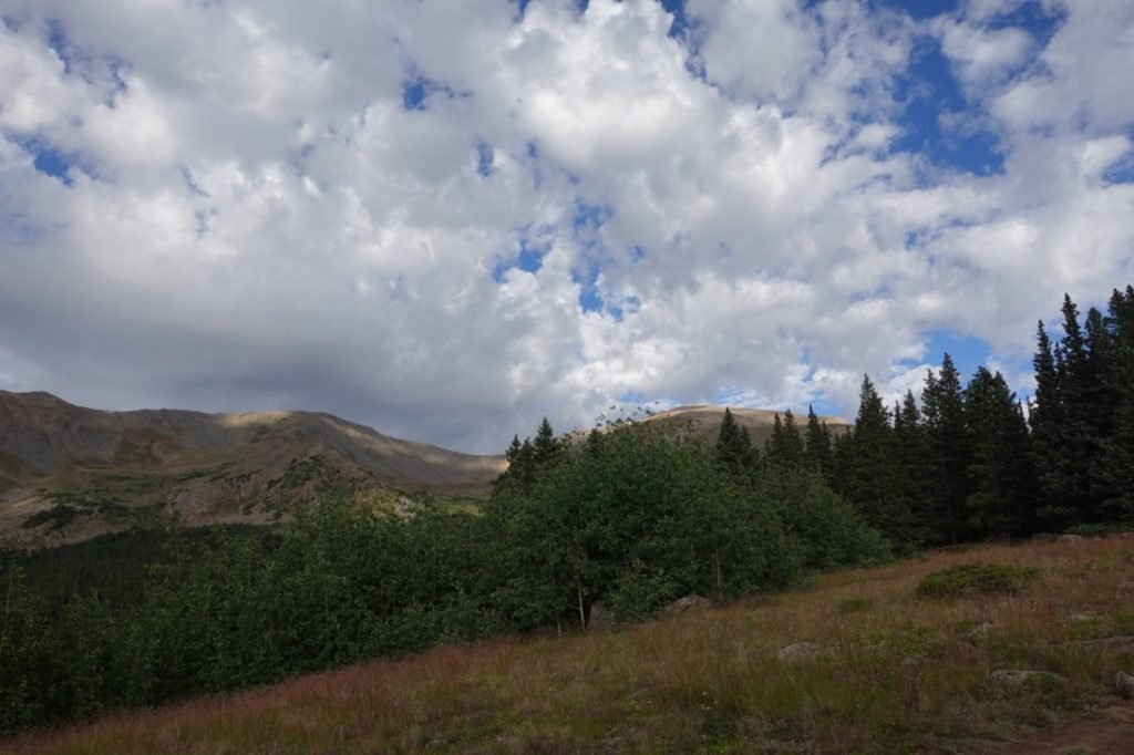
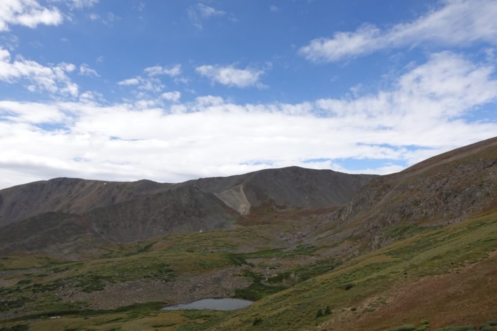
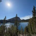
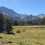
The first part of the trail is easy, but there are a few junctions with the Colorado Trail and other trails that meant I had to pay attention until I passed the nearby lily ponds and reached the East Ridge trail and headed up towards the summit.
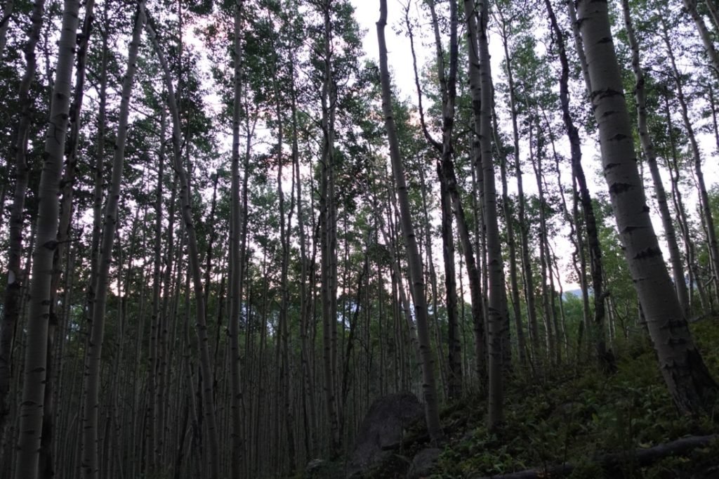
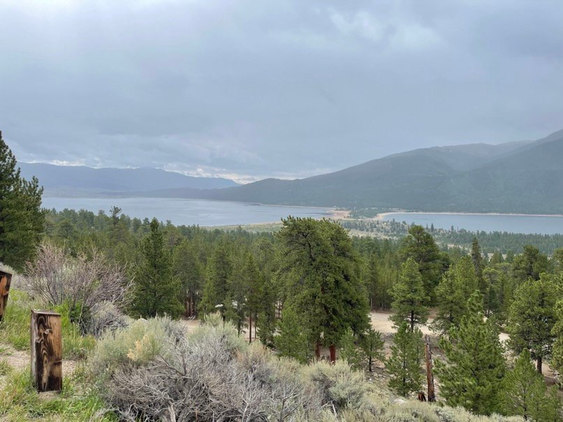
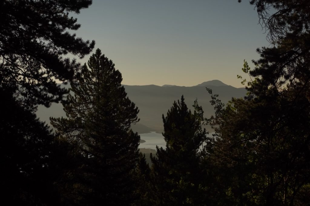
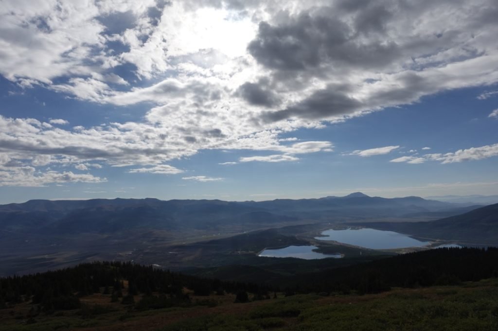
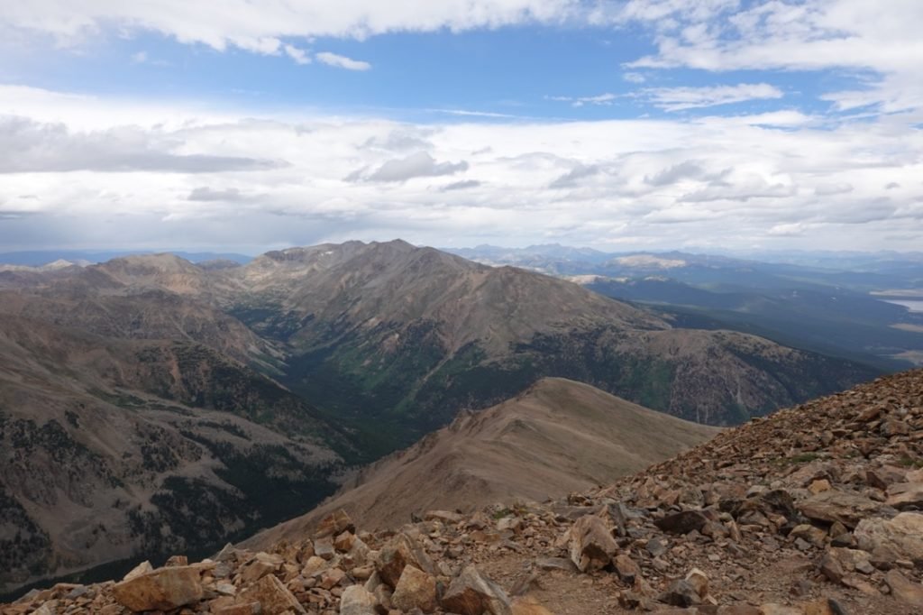
As I climbed, the light from the rising Sun lit up the area enough for me to put my headlamp away. I got some nice views of the Sun as I hiked towards the treeline. Once the Twin Lakes were in view, the trees had thinned out and I could enjoy the view and use it as an excuse to take some short pauses to catch my breath.
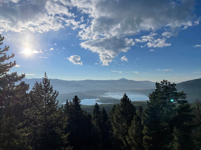


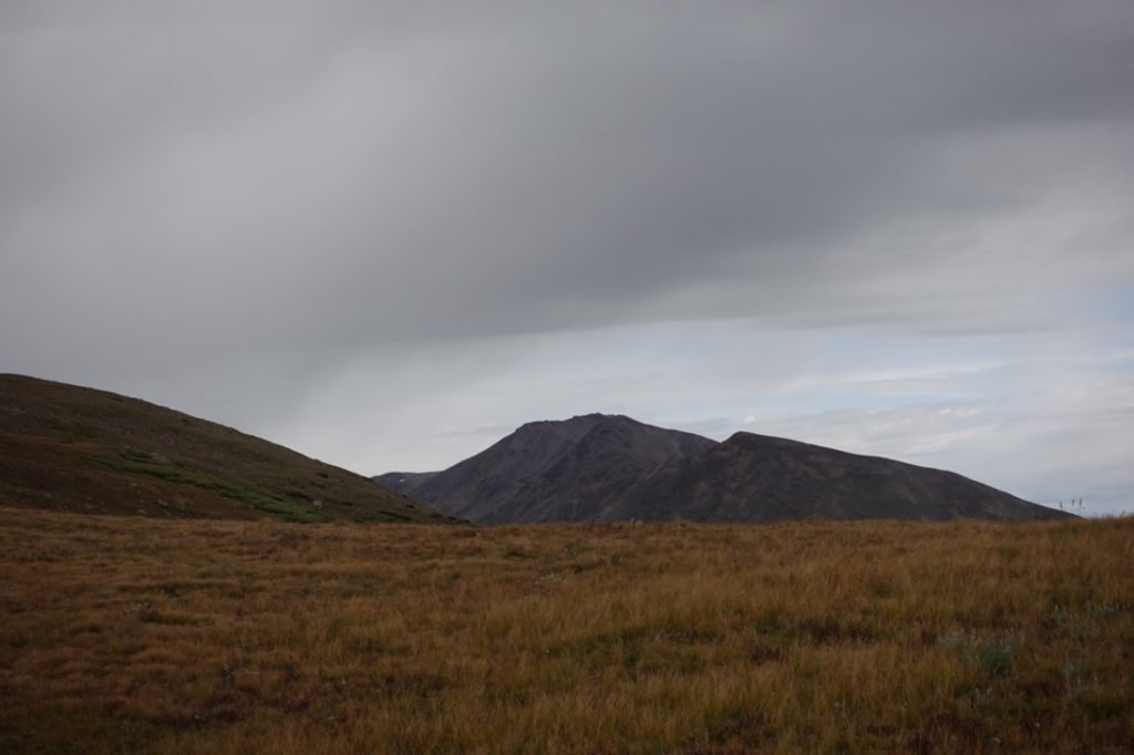
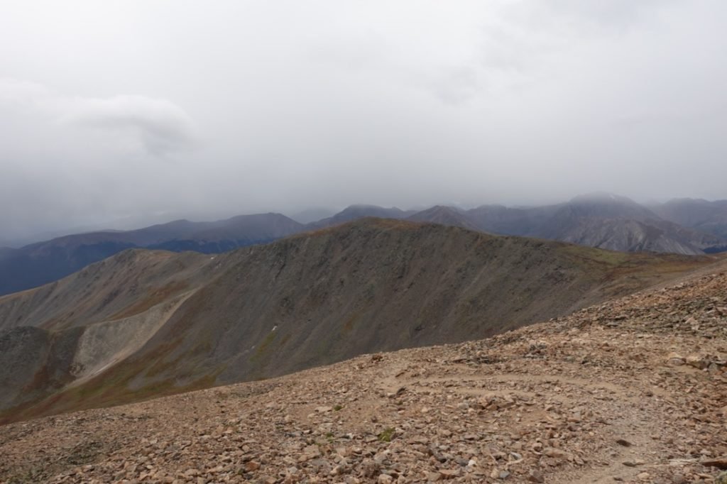
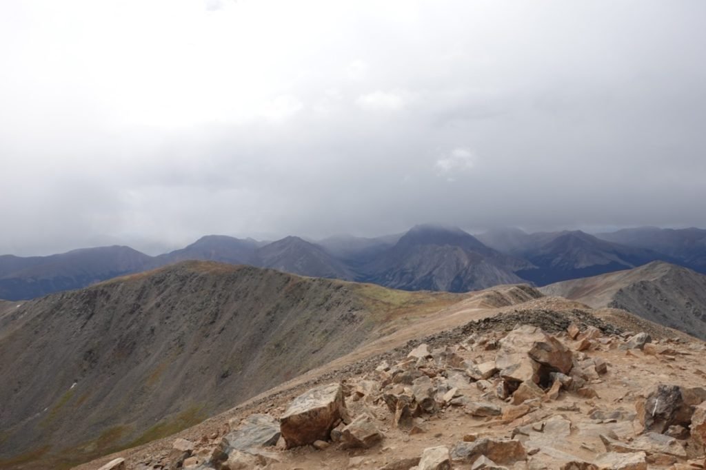
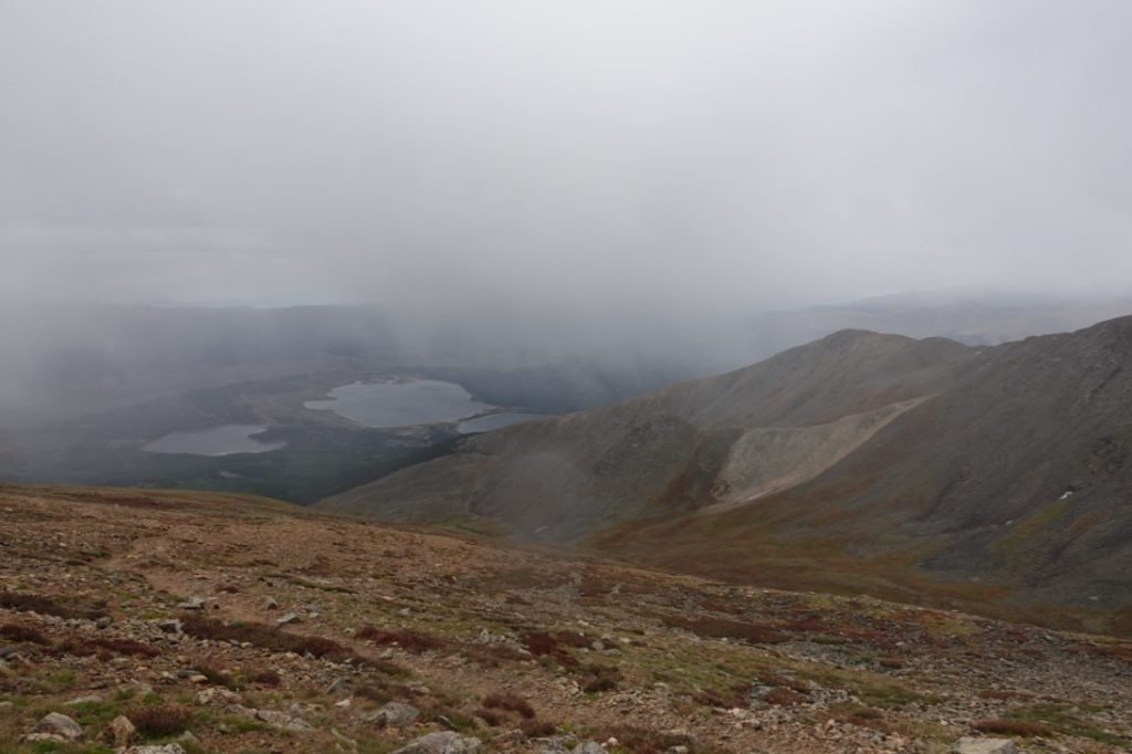
As I left the trees behind, I started to worry a little about some dark clouds that were starting to appear, but nothing too menacing yet.
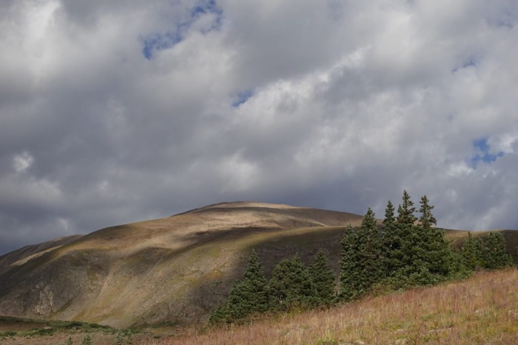
From there, there were a series of well constructed switchbacks that gently ran up the side of the ridge. A notice at the trailhead had indicated this trail had undergone a lot of recent reconstruction. It showed. There really were no hard parts of this trail, although it was a bit longer as a result of closing off sections that ran straight up the ridge line instead of the new switchback sections that allowed for a less steep climb of this ridge.

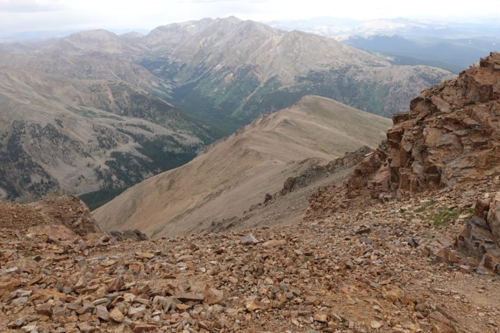
After one of the more pleasant set of switchbacks I’ve had the semi-pleasure of climbing, I hit the rocky portion of the ridge and slowed down a bit. The trail was still in great condition, so it was just more rocks and steps to navigate that slowed me down a tad. And the tiredness from climbing the bottom half of the trail, of course.

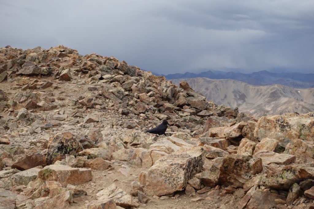
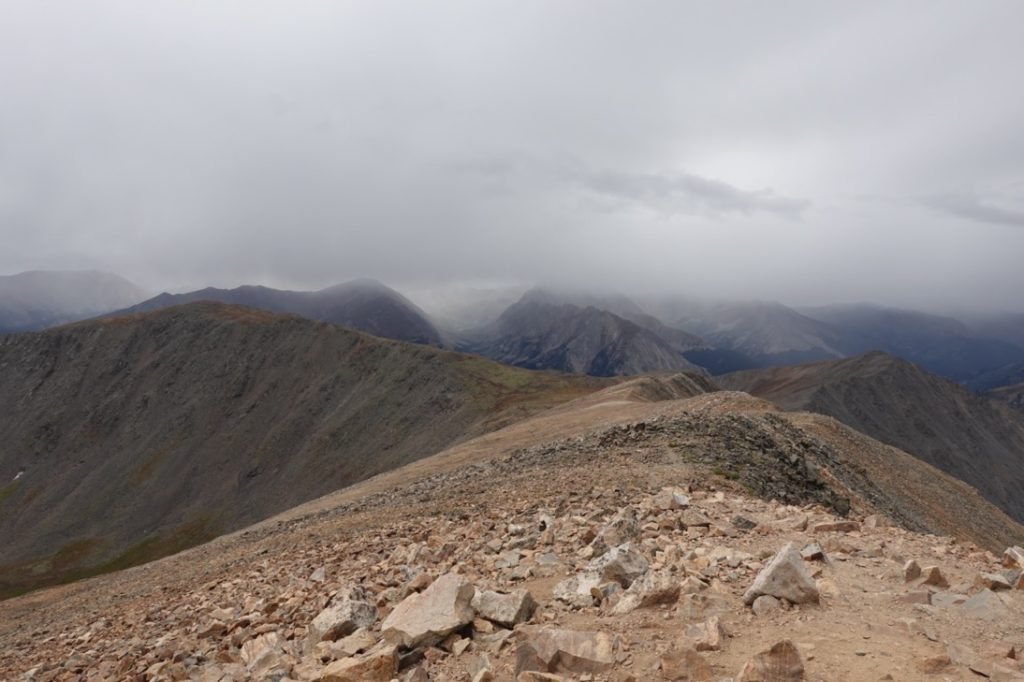
The clouds were really starting to worry me, but I kept heading up since there was no rain or thunder.
Then, I heard thunder.
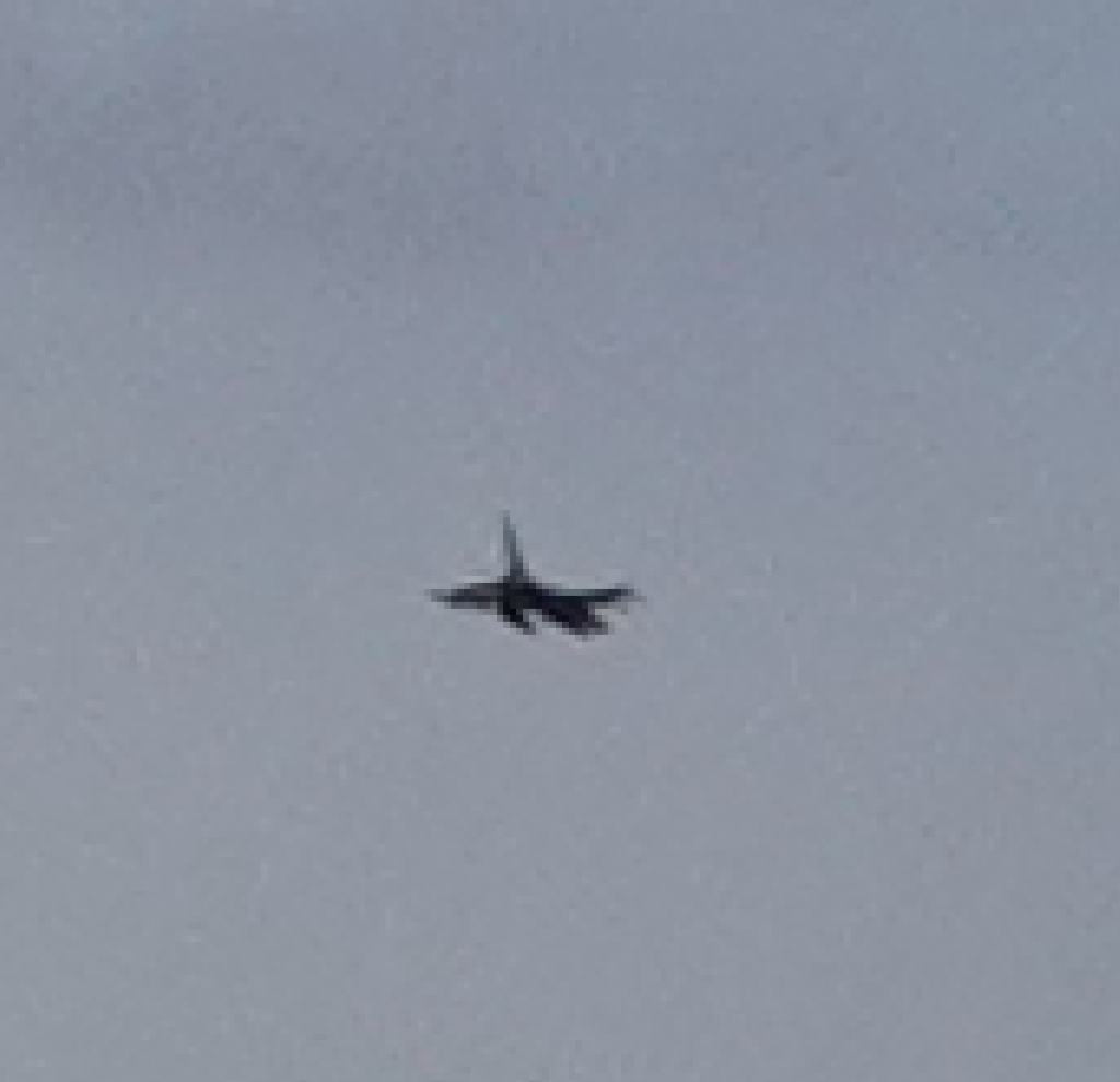
I was relieved when I saw a fighter jet swoop by me way closer than I’d think was sane (not sure if it was the fighter pilot’s or my sanity that was in question (or both)).
I managed to get a couple of pictures, but not until the jet had gotten pretty far away from me. I heard several more flybys, but they were obscured by the clouds. I wondered if it was a training exercise to see how well they could navigate at high altitude in the bad weather. I’ve heard similar military jets around Mt Whitney before too.
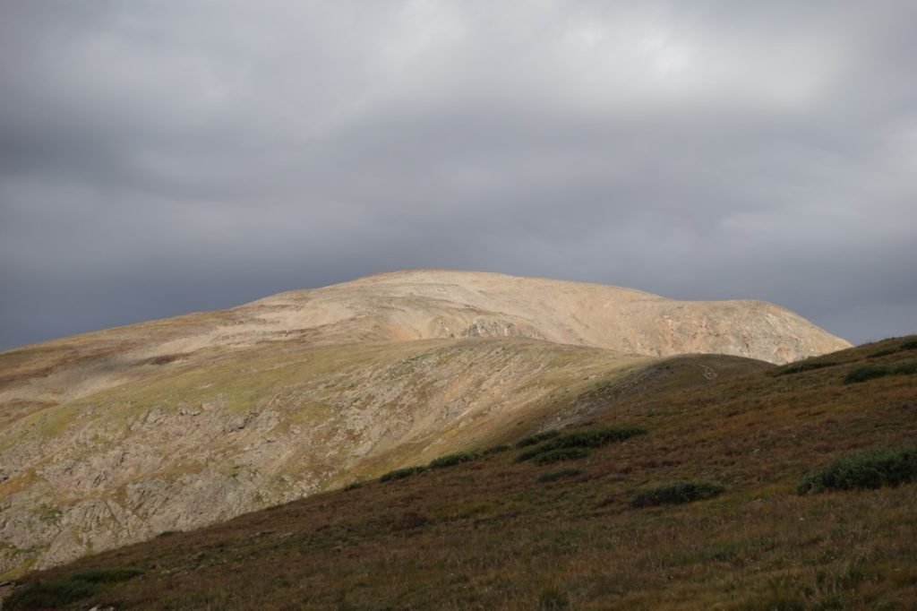
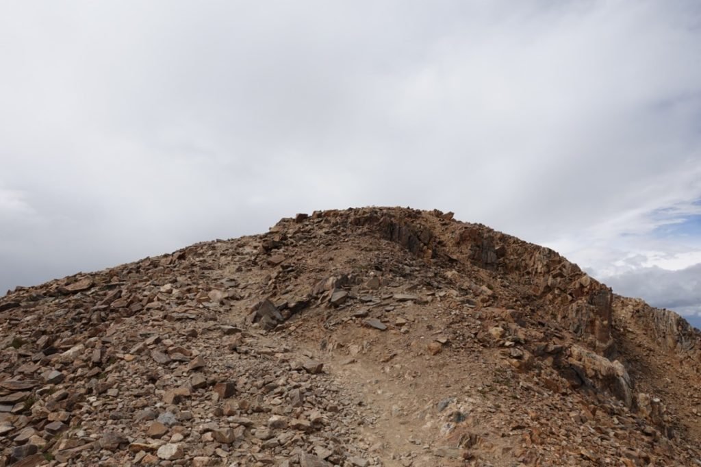
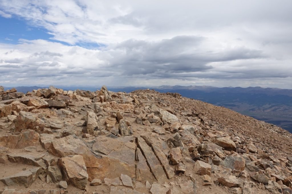
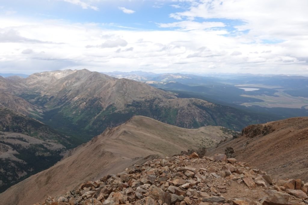
I couldn’t see the exact summit, but I know where it was based on my previous climb of Mt Elbert three years ago. On a new mountain that I had never climbed before I might have gotten discouraged by the seemingly endless climb up this rocky section, but I knew where my target was and knew it was close. The Northeastern Ridge route had a LOT of false summits that really pissed me off, so this route seemed to be less likely to piss me off. 🙂


As I neared the top, I saw a small sign and knew I was almost to the top. It wasn’t a sign for the summit, but a sign directing people down the Northeast Ridge to the main trailhead for Elbert. Based on how three trails all converged at the main summit, I assume that sign was put up after a lot of people took the wrong route back to the main trailhead and got badly lost in the process.
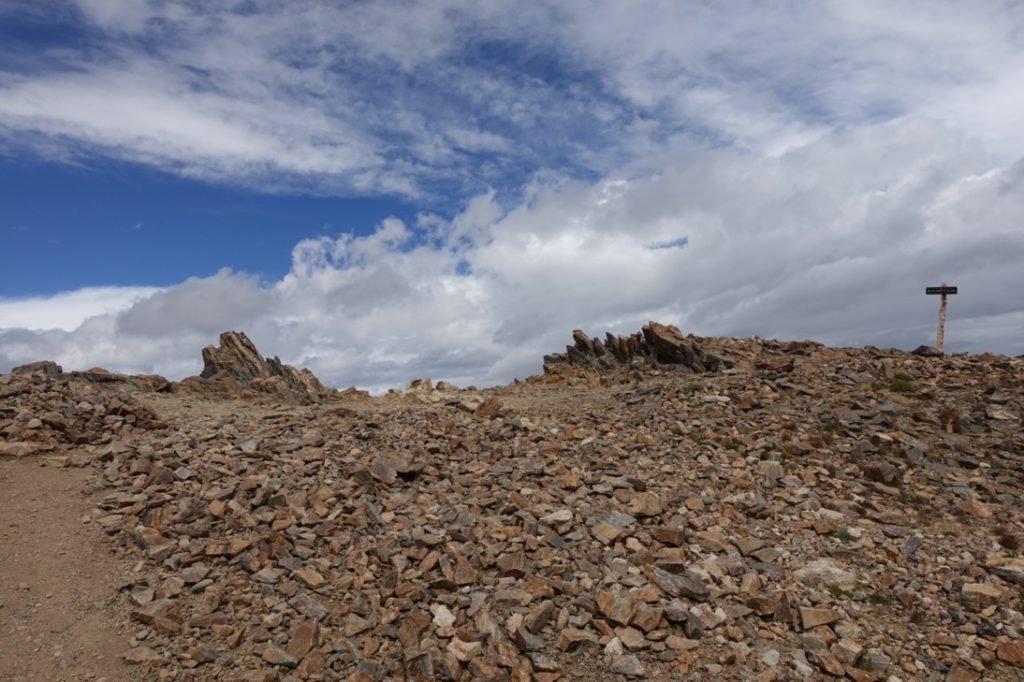
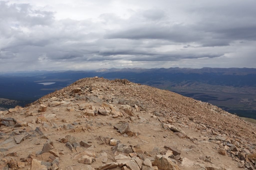
Hanging a hard left at the sign, I approached the main summit. Again, since this was my second time up, I easily focused on the spot I knew to be the real main summit. There were a few spots nearby that may seem like the summit to first timers (including one very large cairn that was well short of the actual summit and seemed out of place to me both times I’ve seen it).
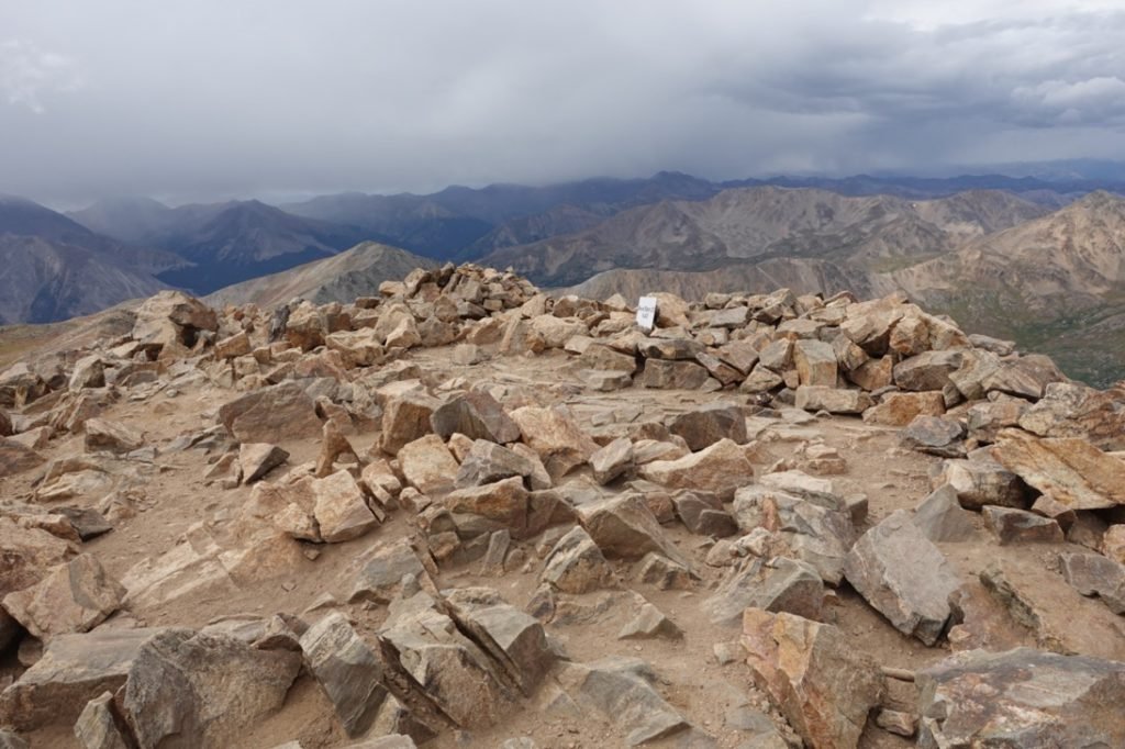
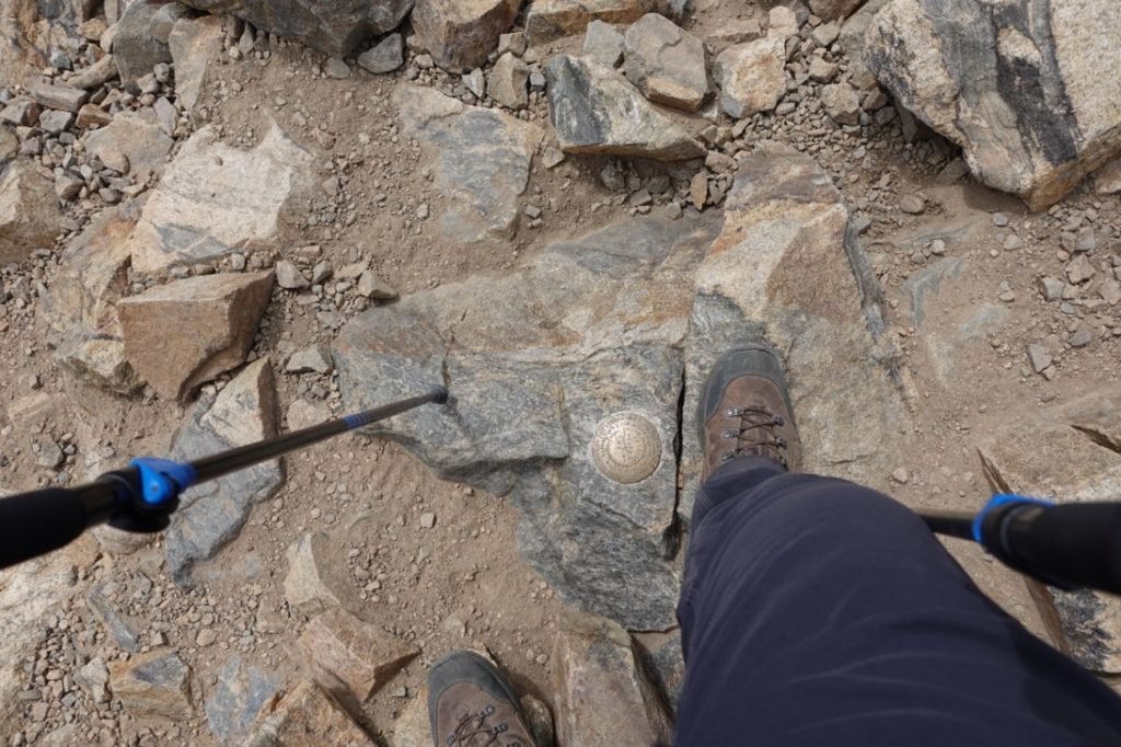
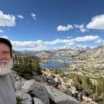
Finally, I stepped onto the main summit. The unofficial sign was sitting there on the rocks, but most importantly a benchmark indicating the summit was there. I haven’t seen a lot of benchmarks on Colorado 14ers, so it’s always nice to have an official indication of the summit beneath your feet.
Mt Elbert 124,433 feet!!! My seventh 14er for this trip. It would be my fifteenth overall Colorado 14er, but was the second time up Mt Elbert so doesn’t actually increase my overall count of 14er summits that I’ve conquered.
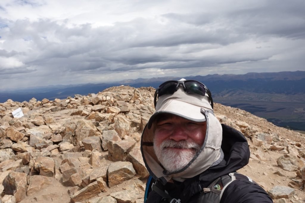

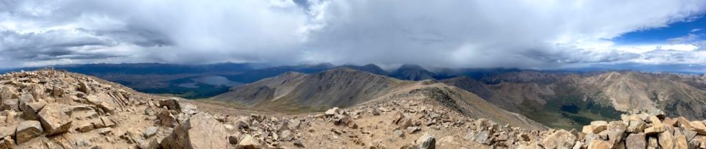

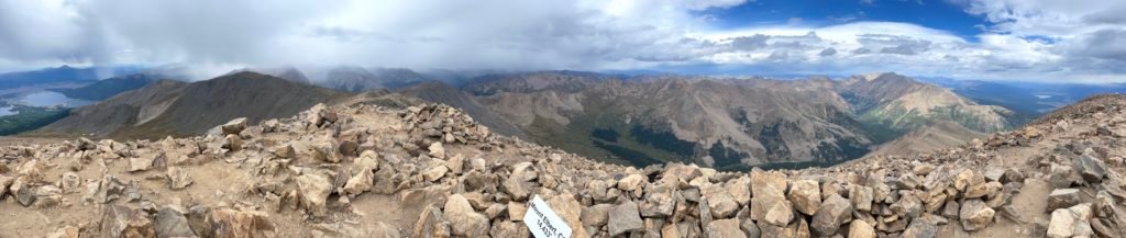

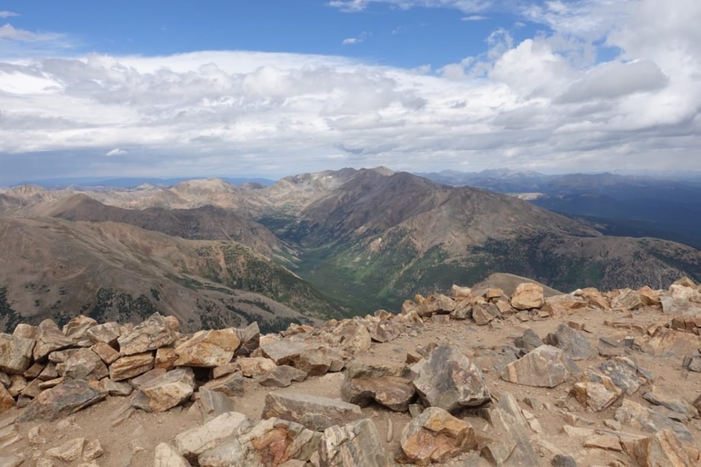
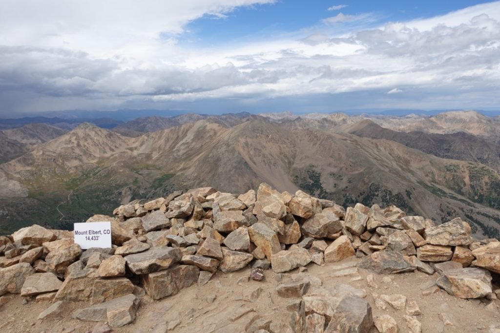
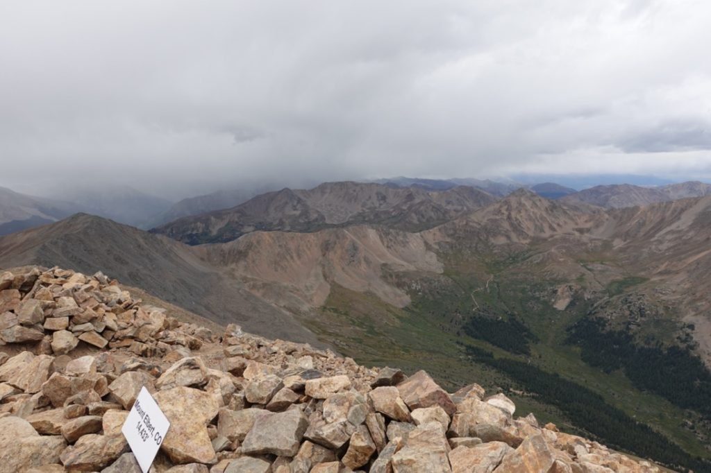
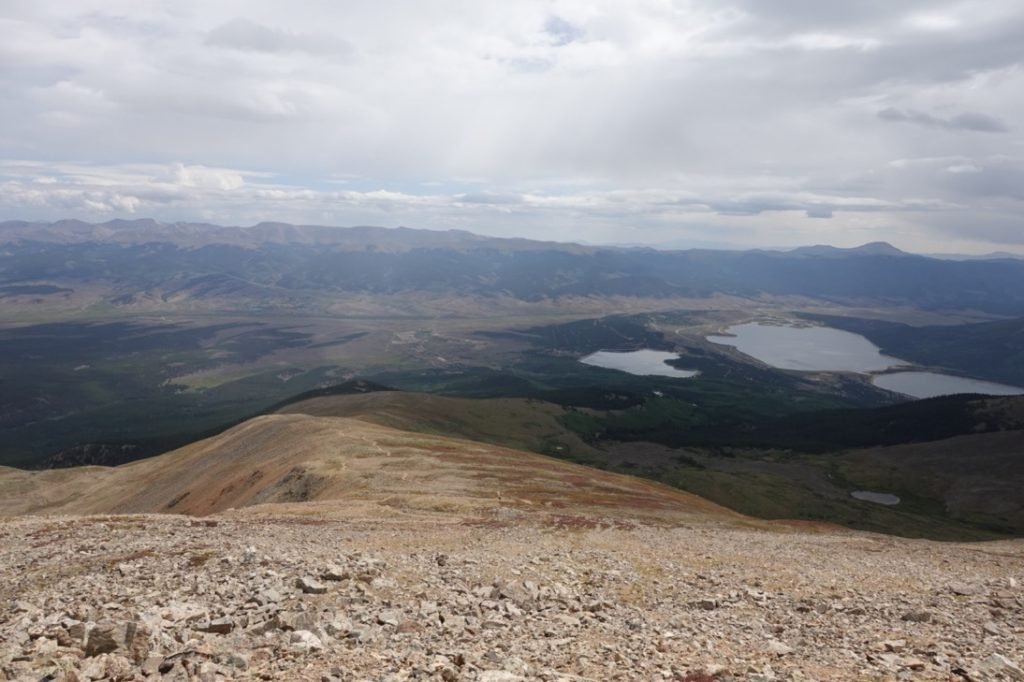
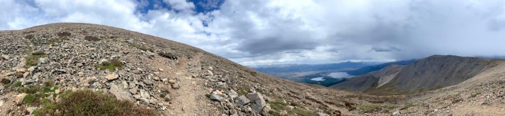
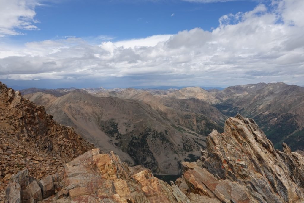
I took my usual series of pictures of my feet on the summit, my old face at the summit, and then much more interesting pictures of the scenery and surrounding mountains.

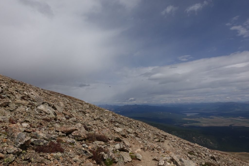
As much as I wanted to spend a lot of time up there, I ended up heading down fairly quickly. Why? The dark clouds were all around me and I could feel some rain drops on my skin.
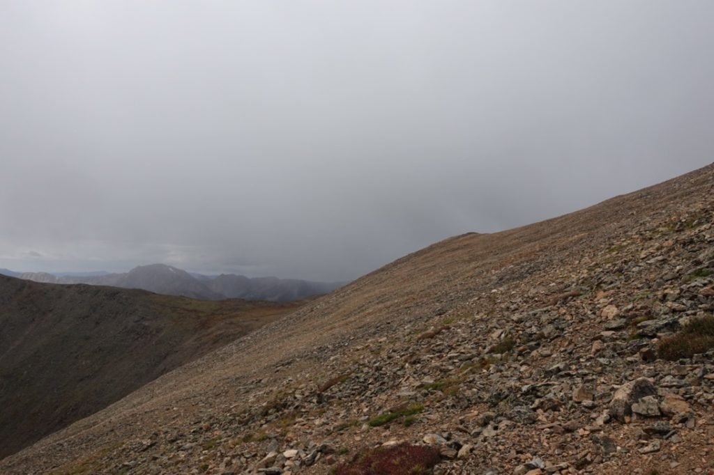
No thunder, but with my mission accomplished I started down the way I came. Pretty much just in time, since the SNOW started soon after I started my way down.
So, while the climb up was fortunately dry, the hike down was a bit damp and nasty. I had the fun of descending through snow, hail, sleet, and rain… not necessarily in that order. A little nastier than the weather on La Plata Peak. Once I reached the end of the rocky part of the mountain, I did hear some thunder behind me. I sped up my descent a little after that.

I reached the treeline and then the 4WD trailhead soon enough, just a little dehydrated since I had ran out of water about a mile before the trailhead.
But I reached my Jeep and enjoyed a nice cold Diet Coke. Ahhhhhhh…
I have to say, I liked this trail a LOT more than the Northeast Ridge trail. I don’t know if they may have done some repairs to that trail since I hiked it 3 years ago, but this trail was much easier to hike, navigate, and didn’t really have any surprises for me.
With only Mt Yale and Mt Princeton left on my list, I decided to get a hotel for 3 nights down in Salida to be nice and rested to finish my 14ers for this trip without having to change hotels between summits. Onward and upward!


Comments by WanderingJim
PCT or BUST!
"Yes, I’ll be going through there by early August"
JMT 2020 Day 3
"I'm afraid I have no idea. Not really a fisherman, so don't..."
JMT 2020 Trek Day by Day
"Yeah, but with 9,000 pictures, it's hard to label each one..."
Kilimanjaro – October 2019
"Everest Base camp is on my list too. Mostly since I know..."
Kilimanjaro
"You started hiking with Kilimanjaro first? Even I worked my..."