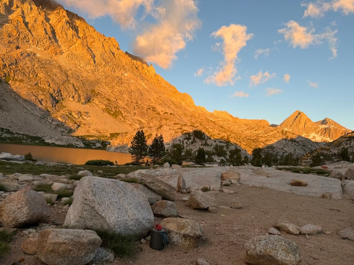
Mile 832.8 to 845.6 – 12.8 miles total hiked on PCT
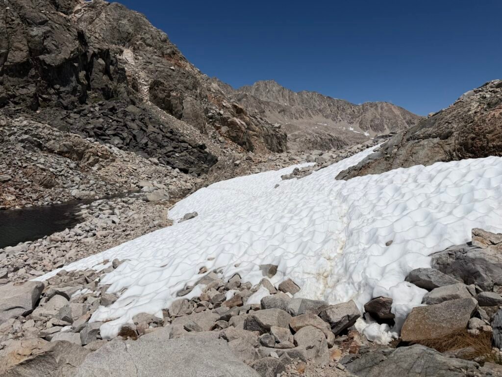
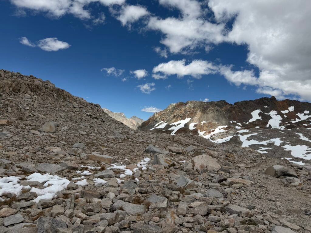
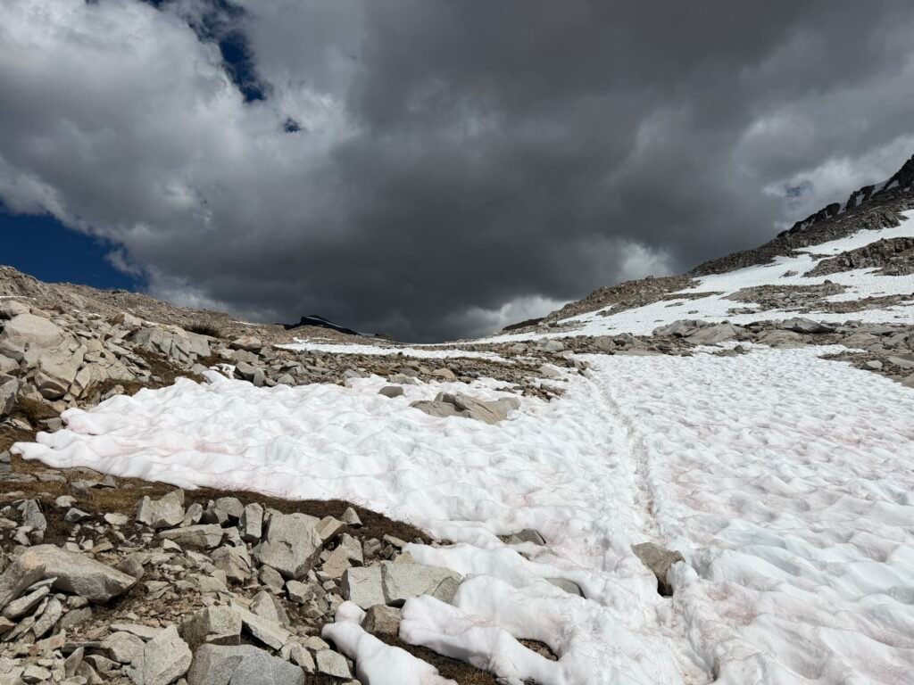
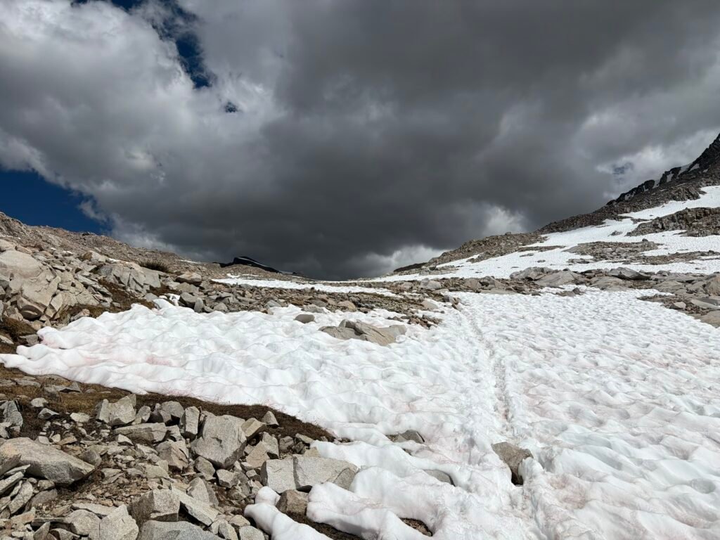
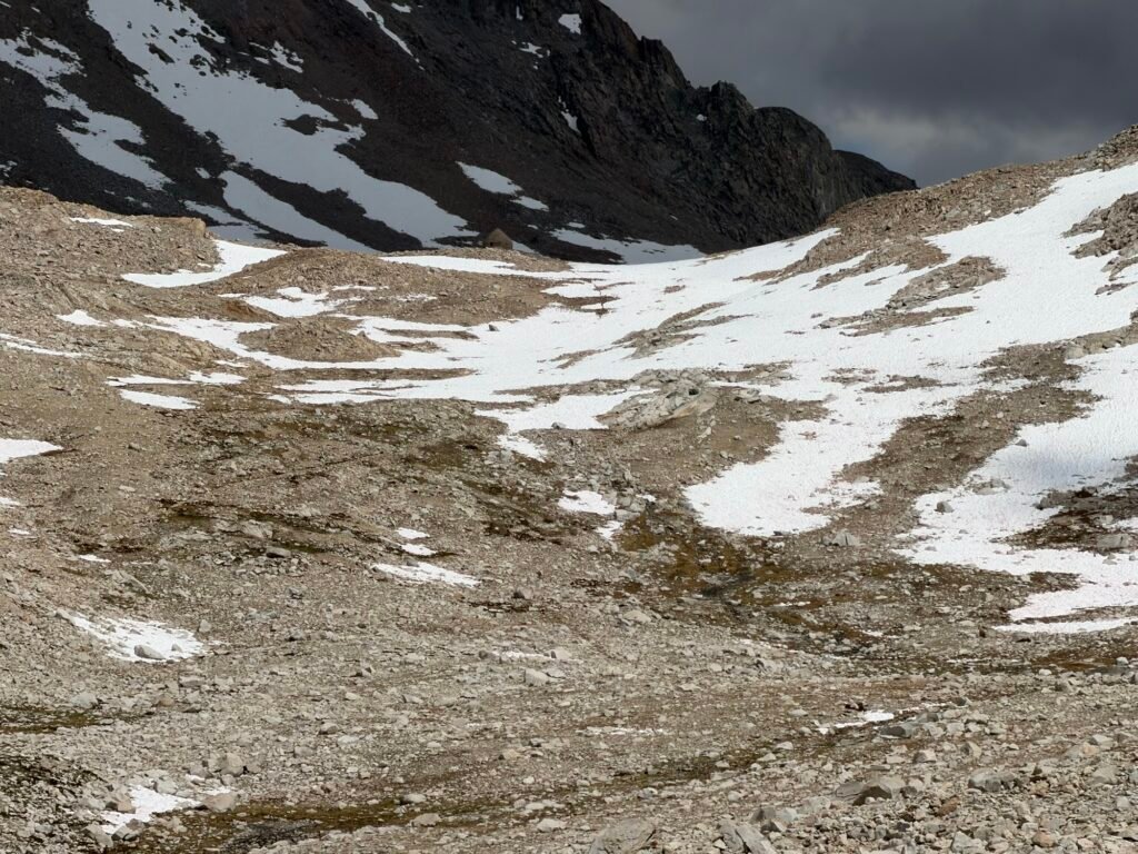
So, I knew Muir Pass had some snow fields I’d have negotiate on the way to the top of Muir Pass, but nothing too bad. I still had my ice Axe and micro spikes if I needed them.
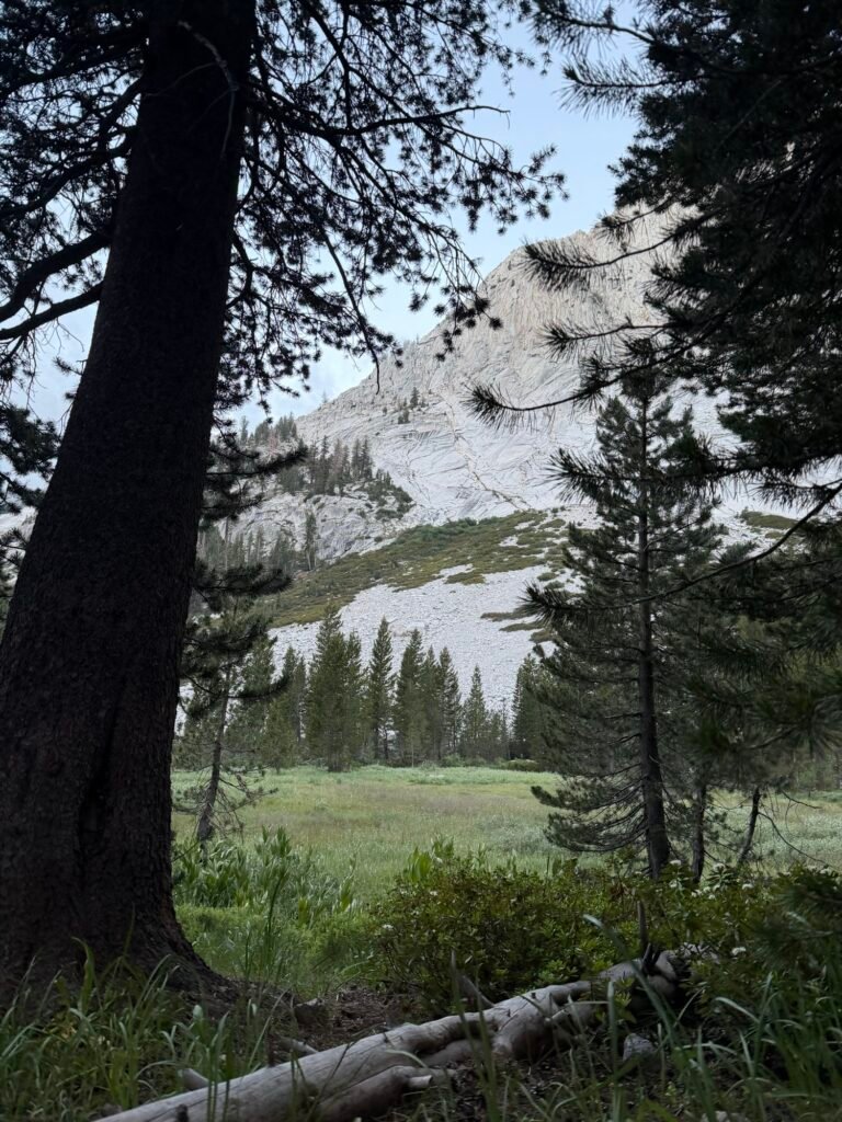
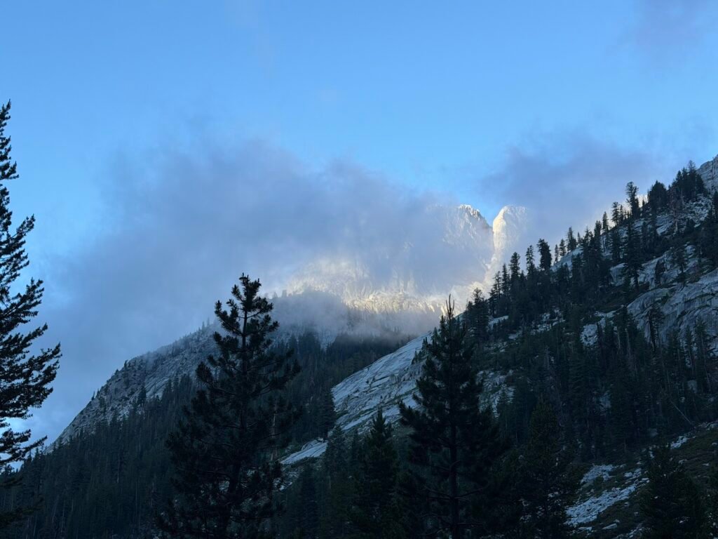
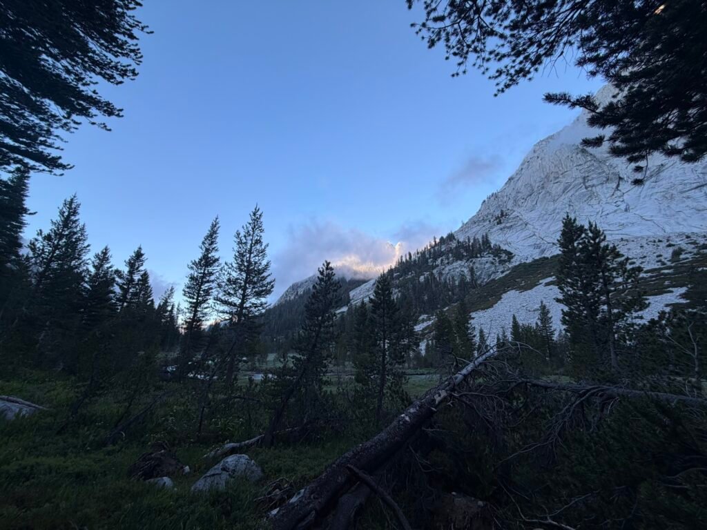
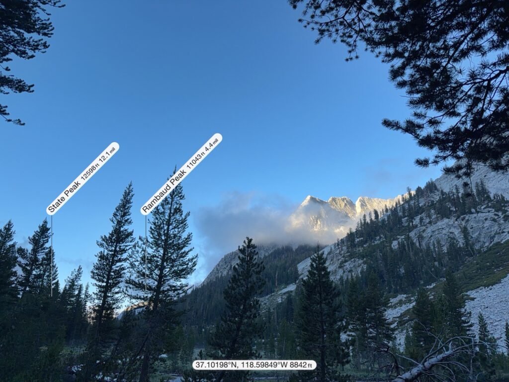
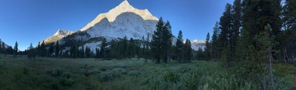
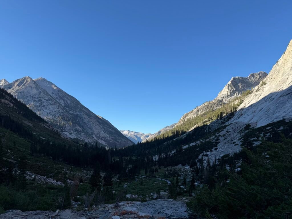
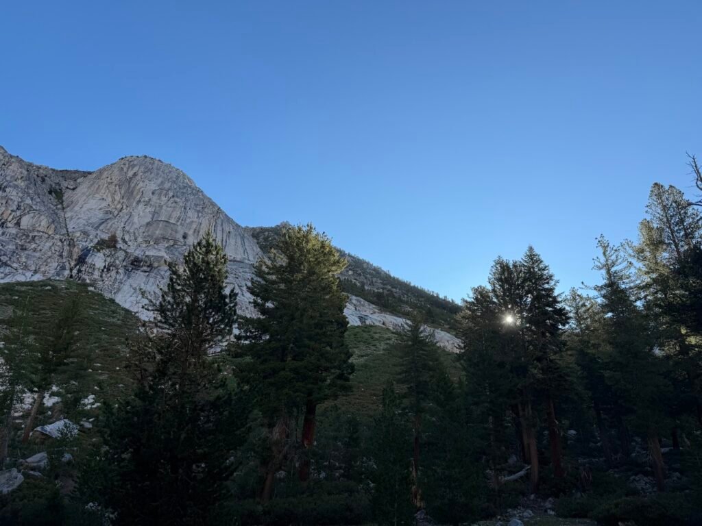
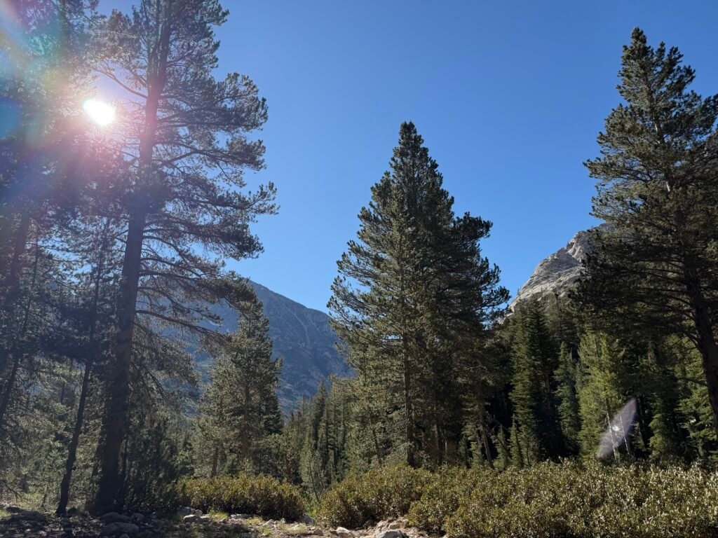
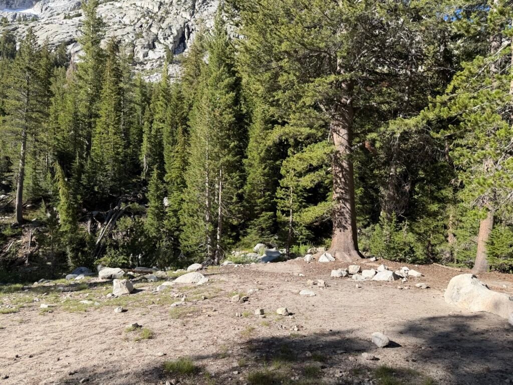
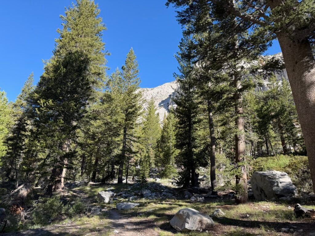
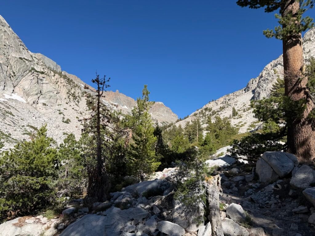
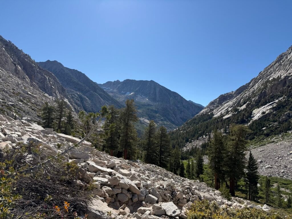
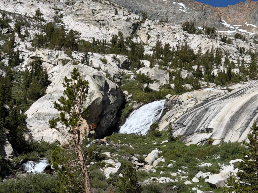
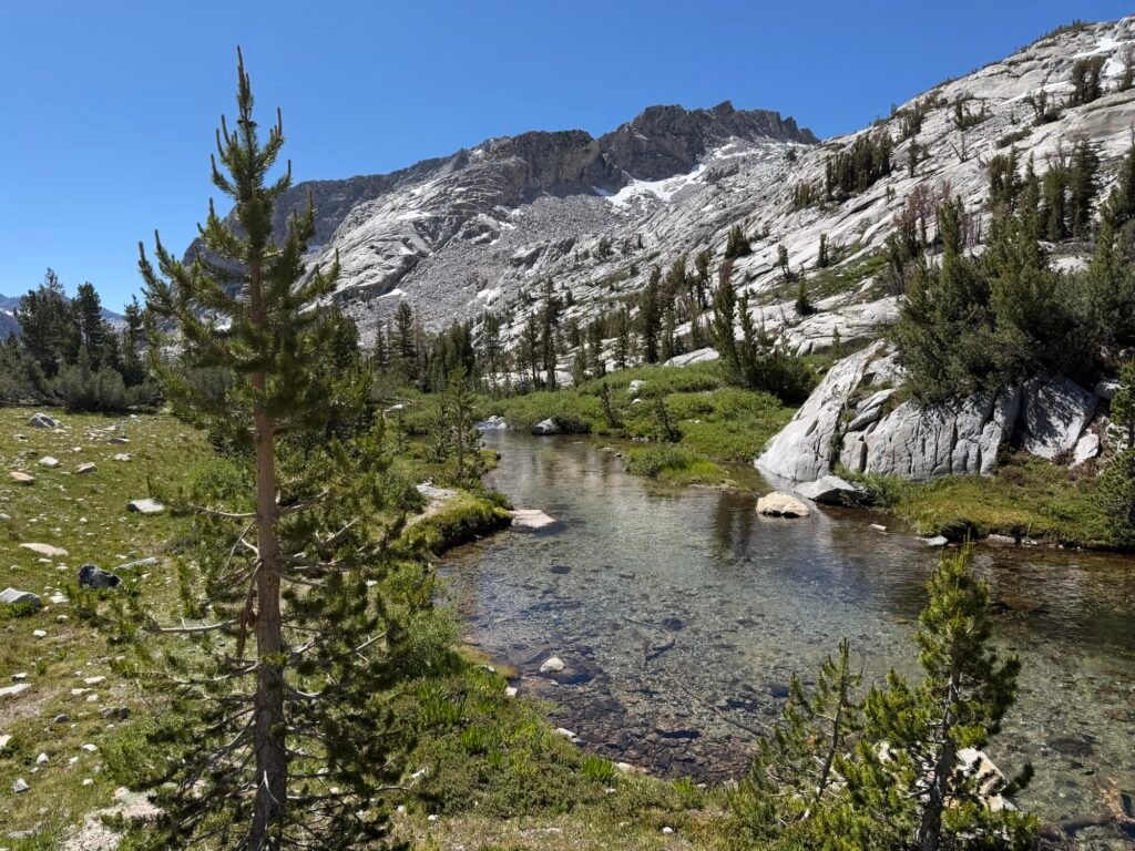
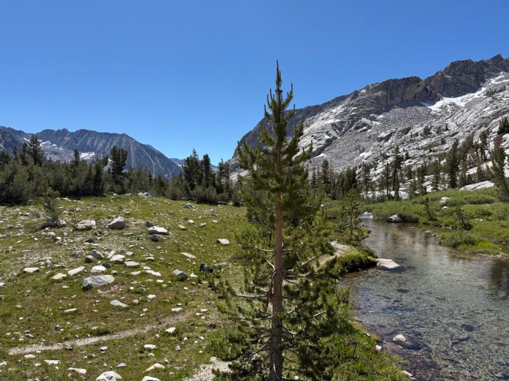
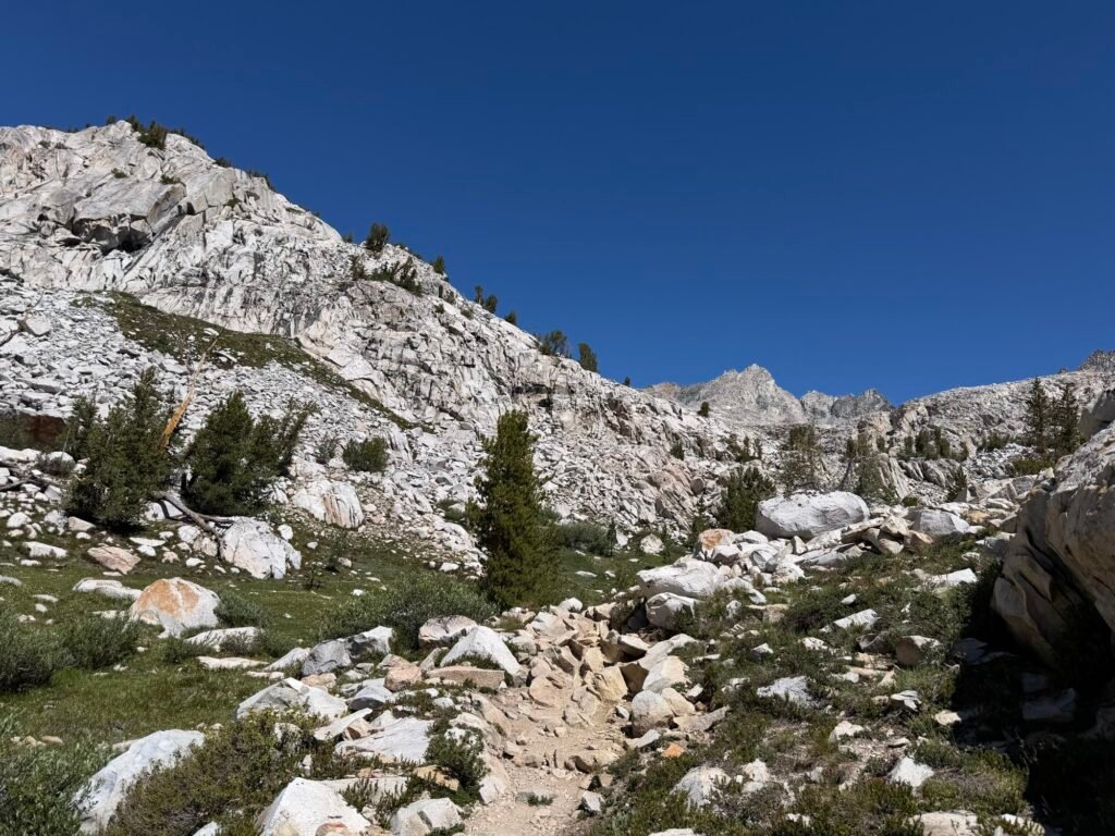
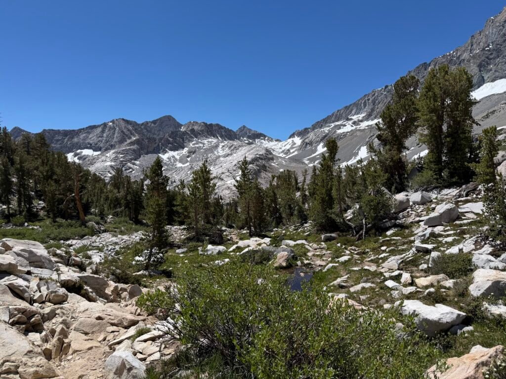
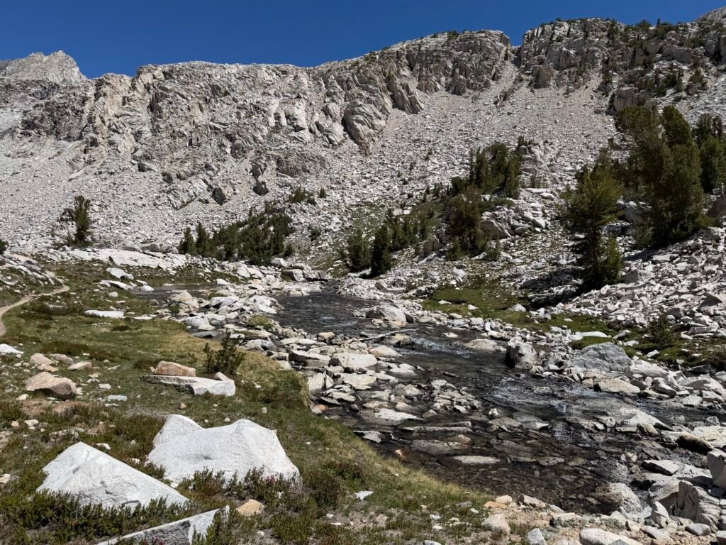
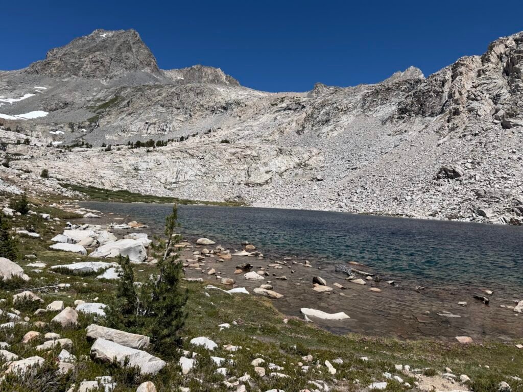
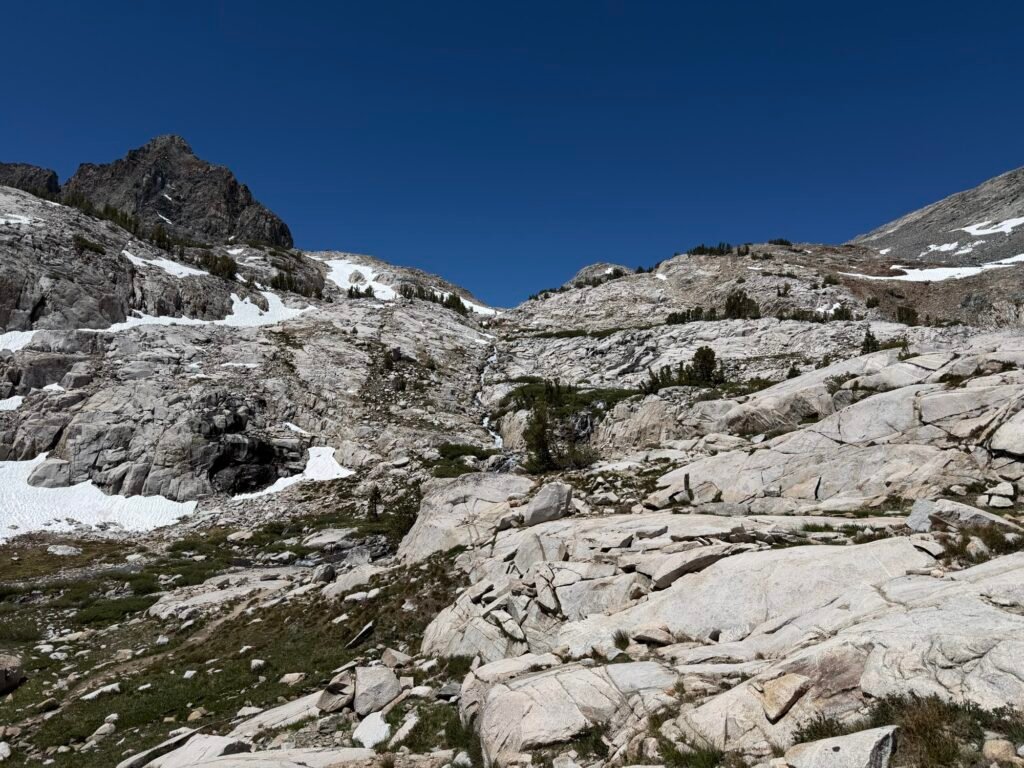
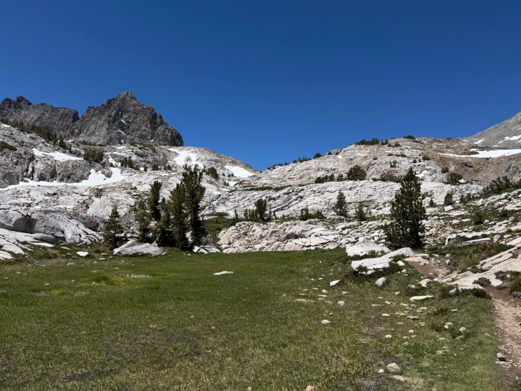
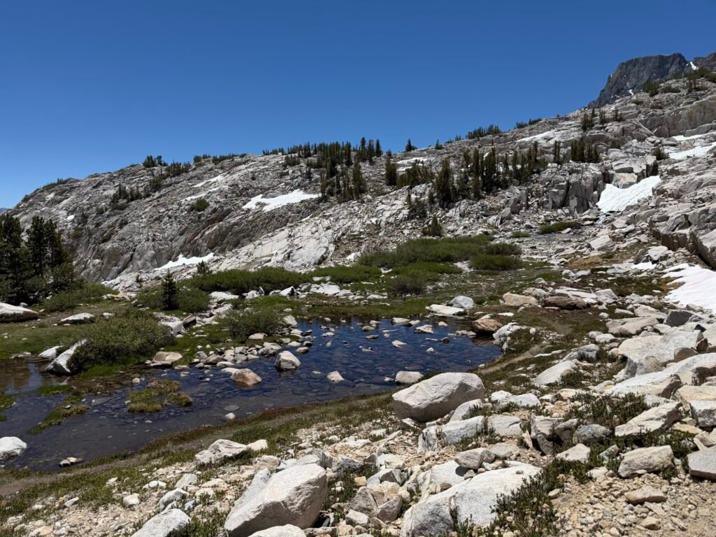
The reports of the many snow fields I’d have to cross were true. But they just took time to cross and didn’t pose any real danger or obstacle to my climb up to the pass.
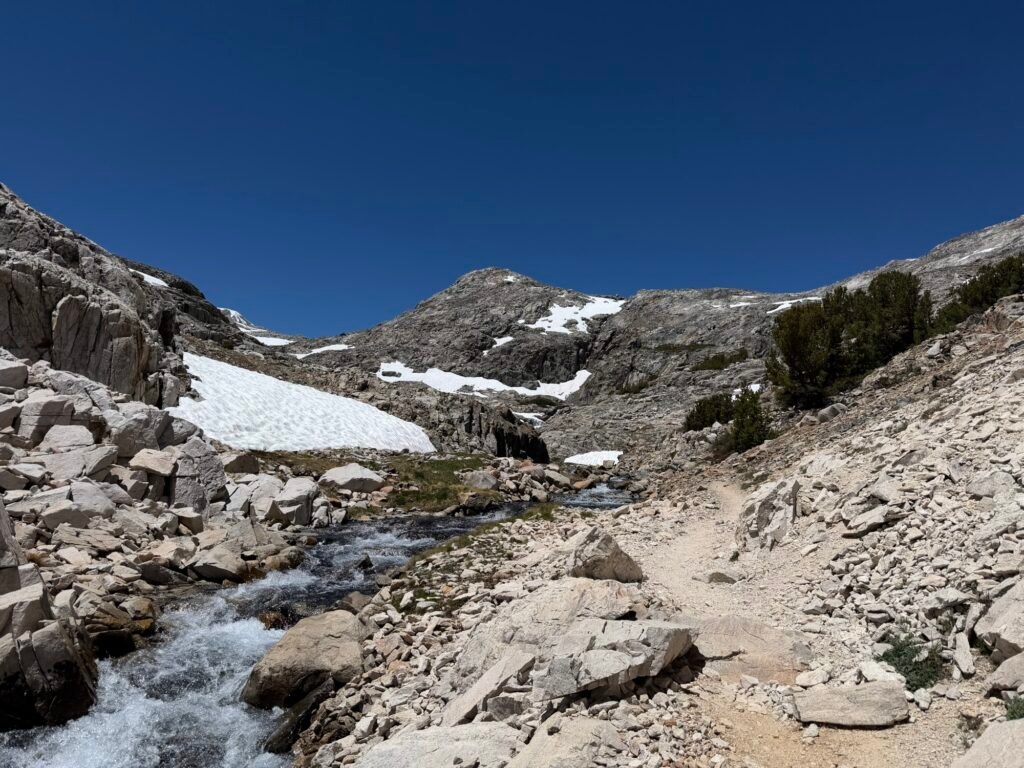
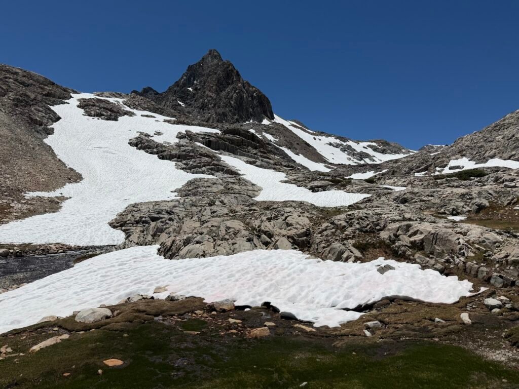
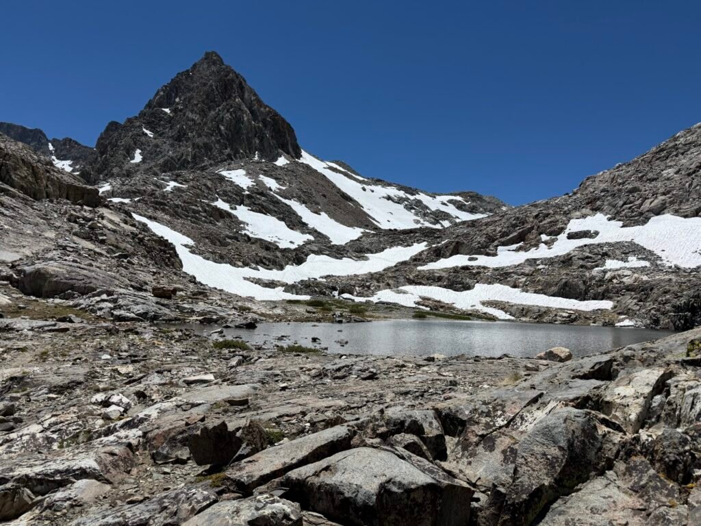
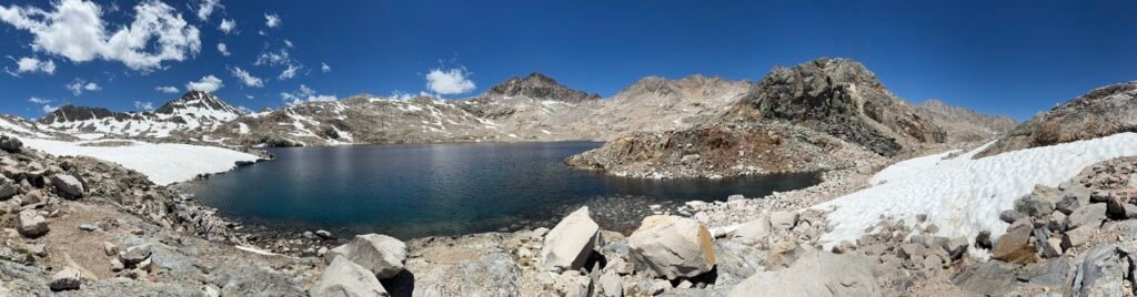
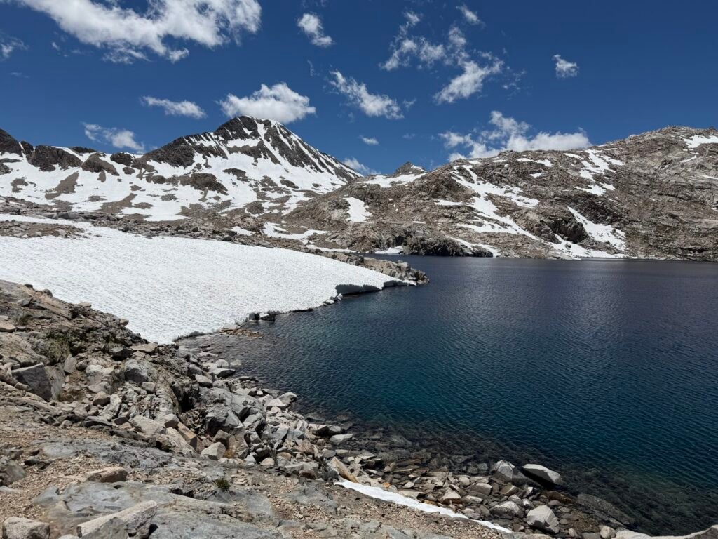
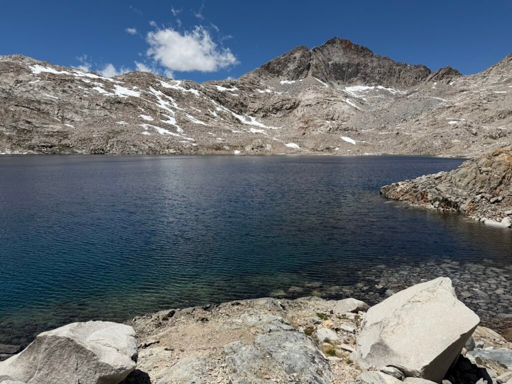
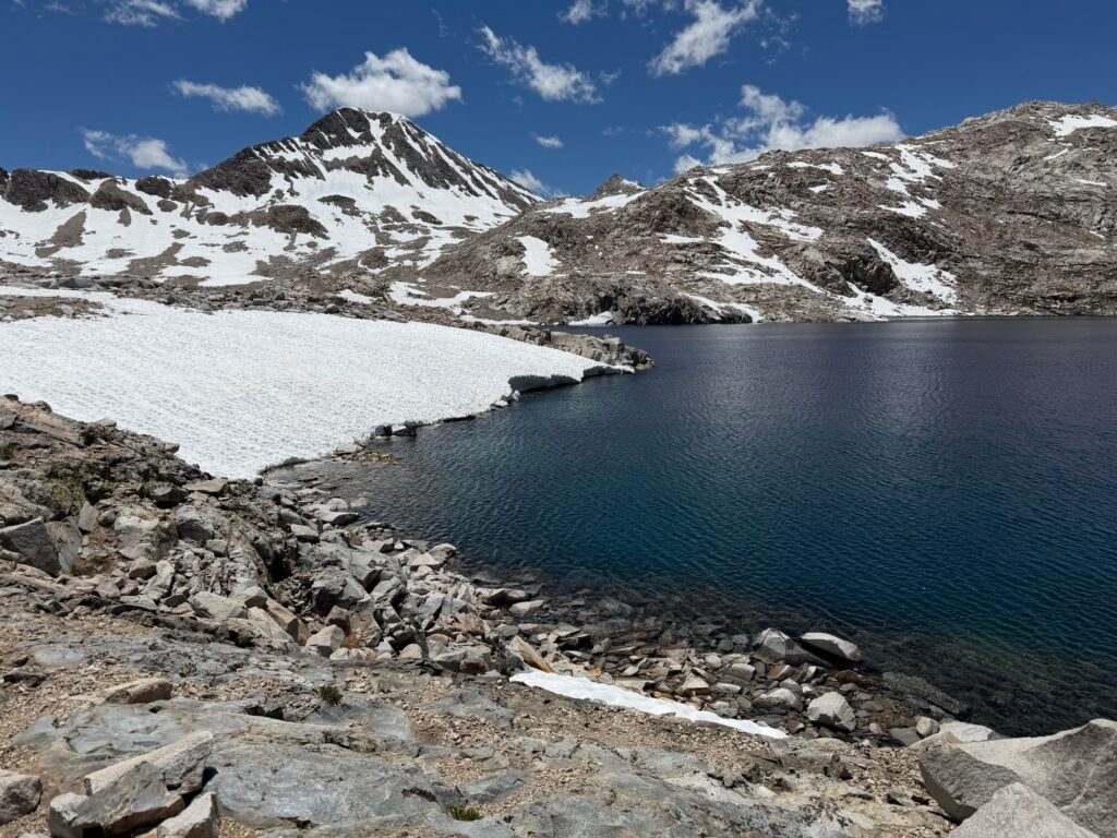
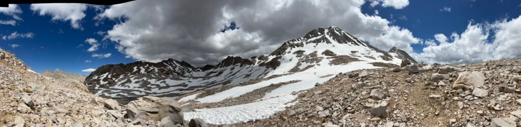
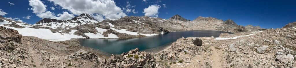
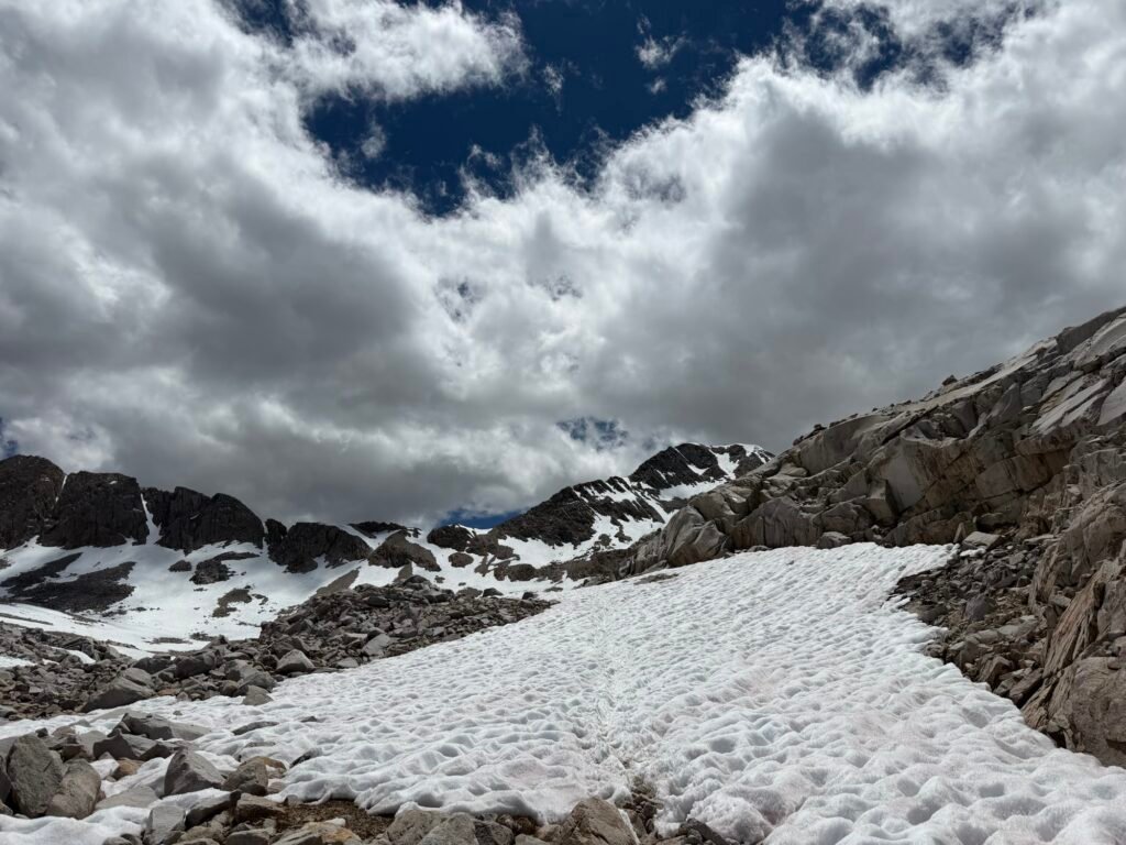
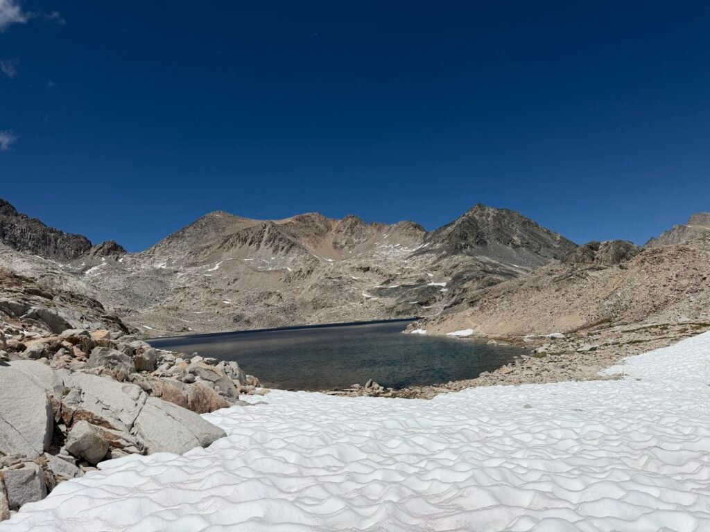
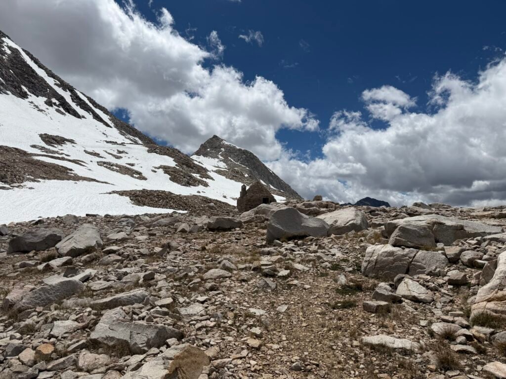
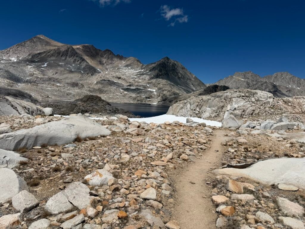
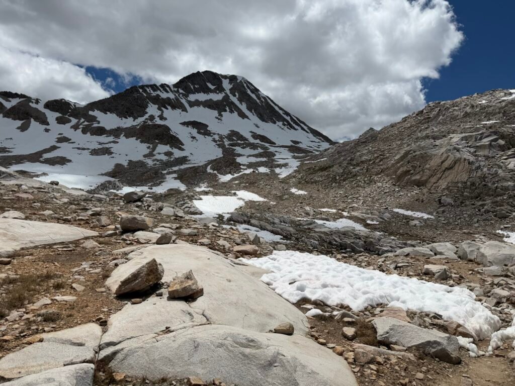
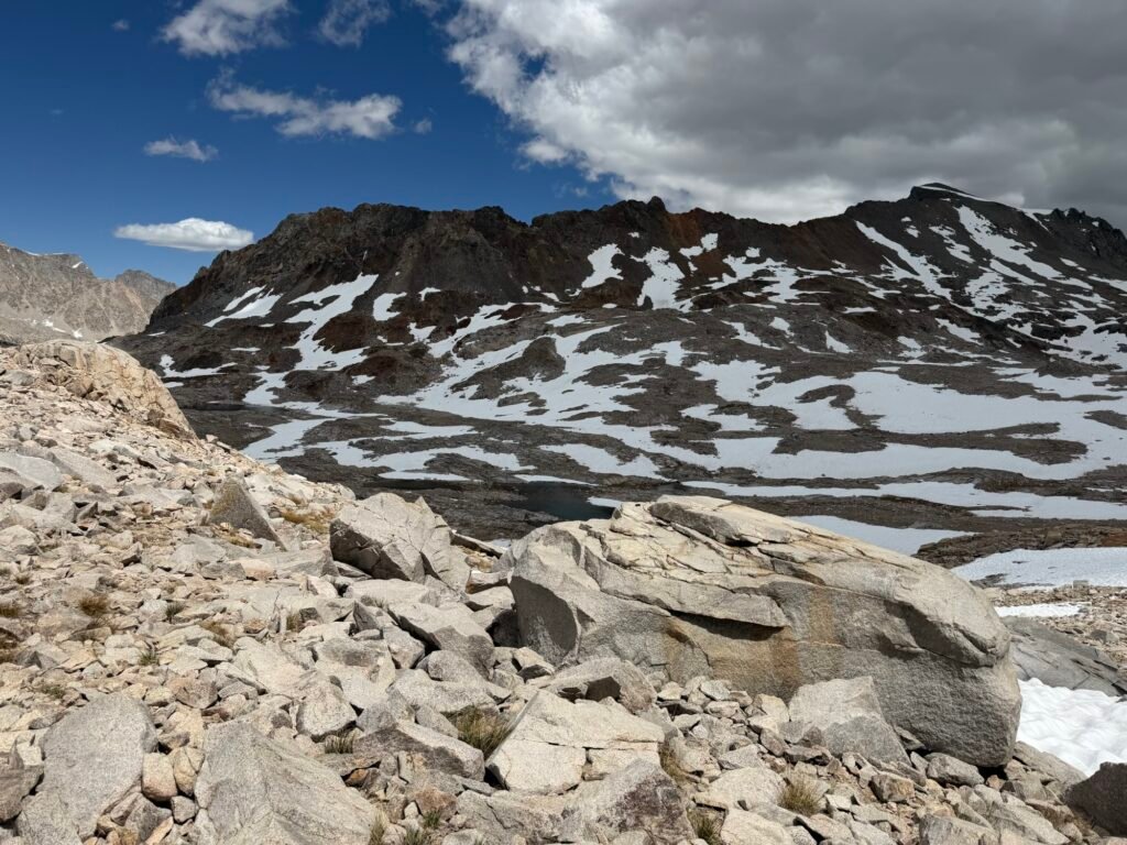
While it was a rough climb, finally seeing the Muir Hut leg me know I had reached my destination.
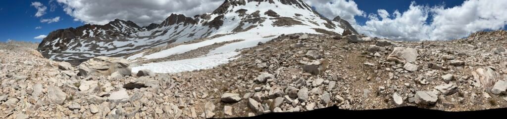
Muir Pass!!! 11,970 feet
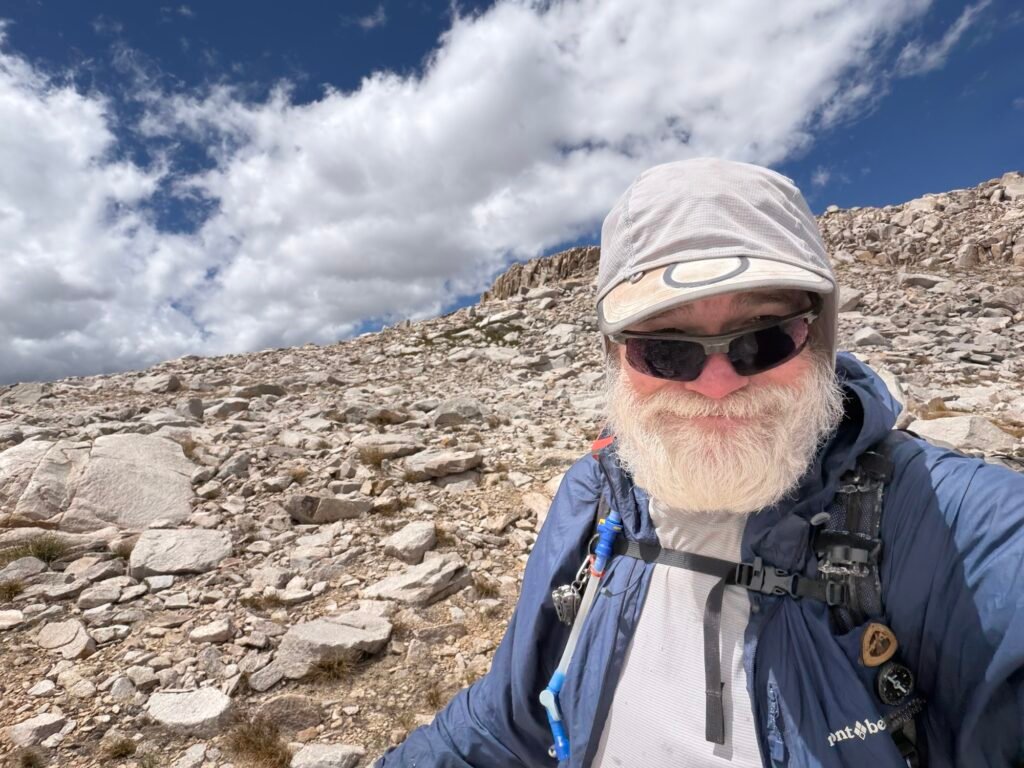
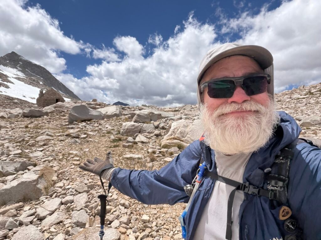
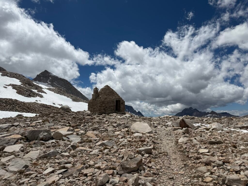
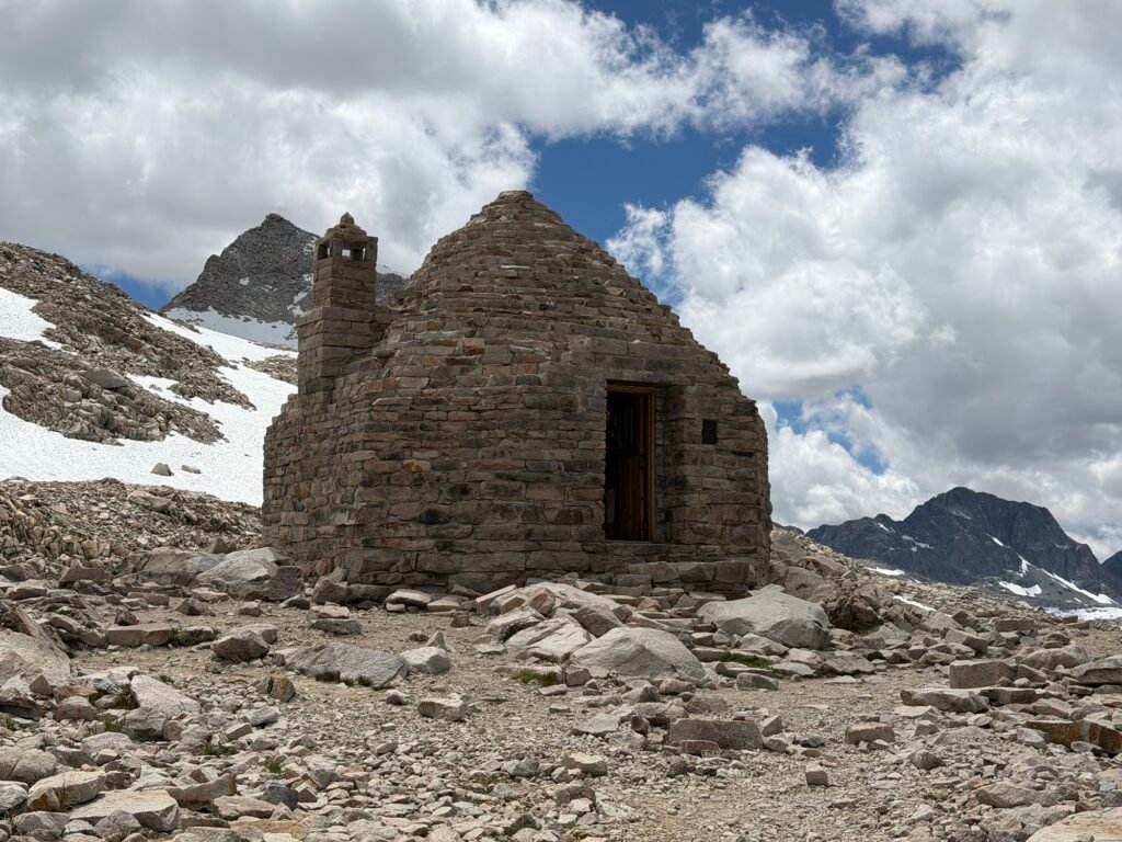
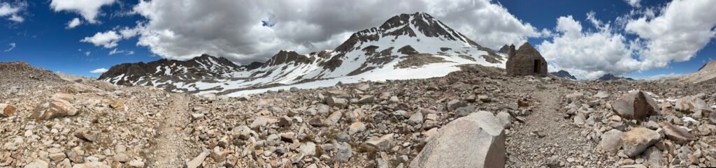
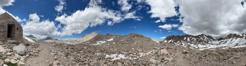
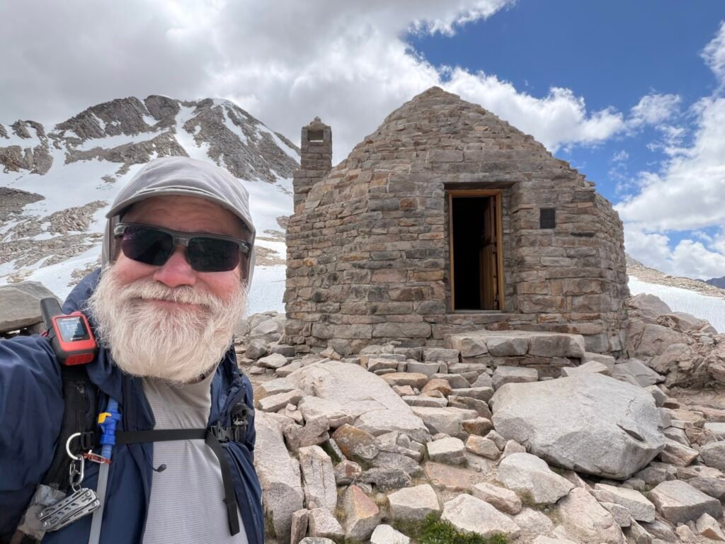
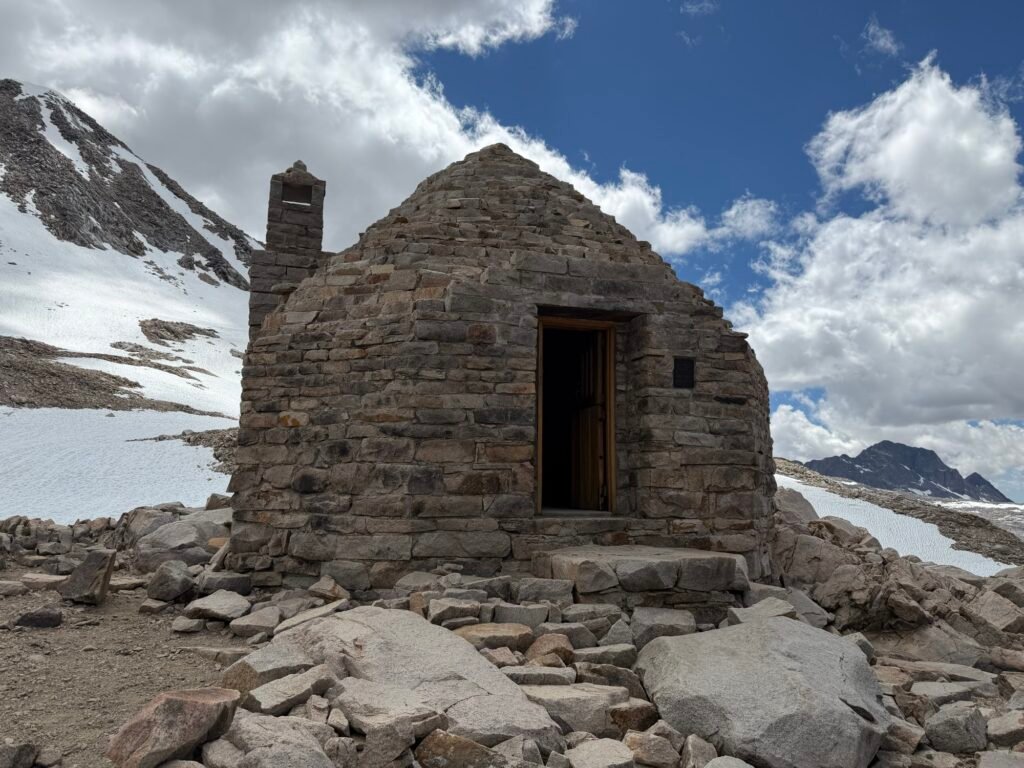
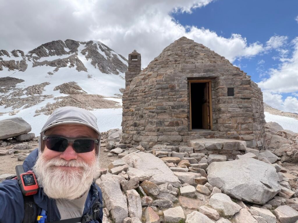
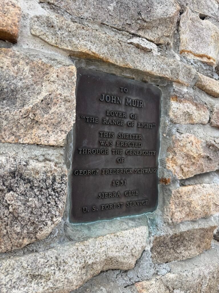
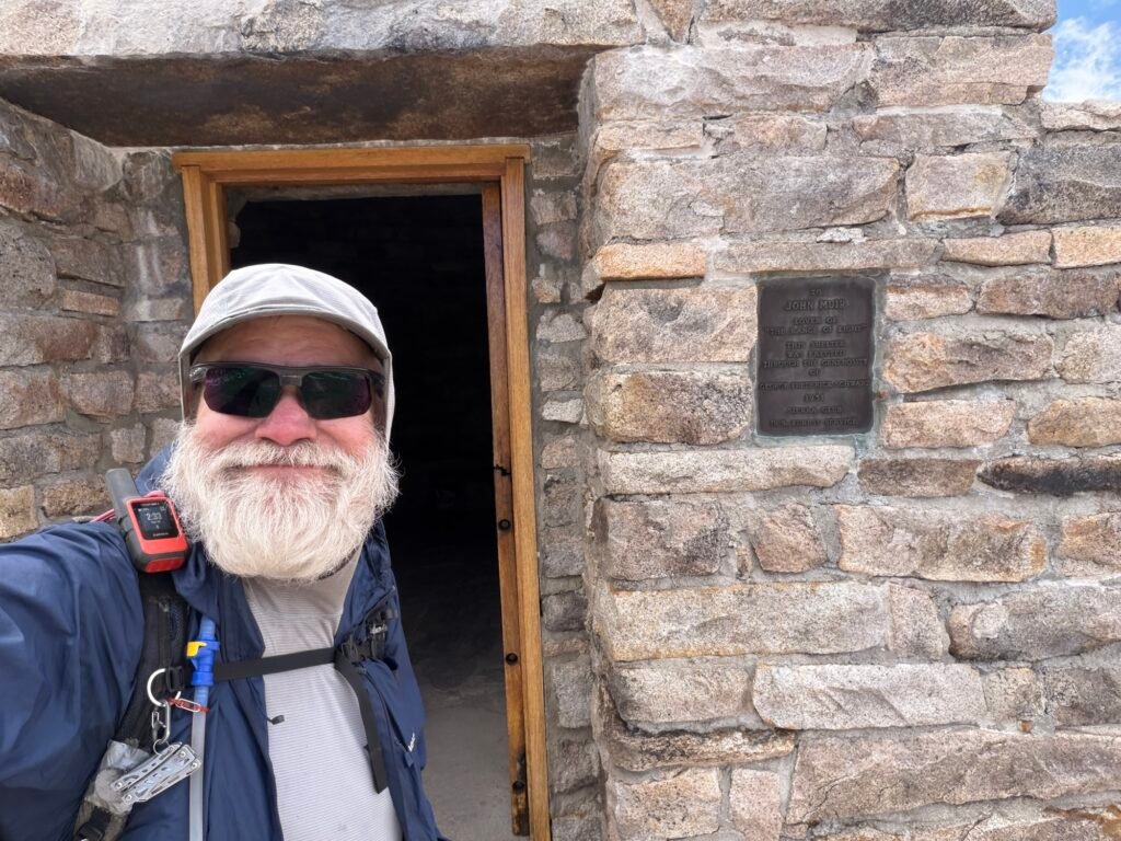
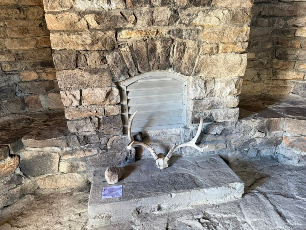
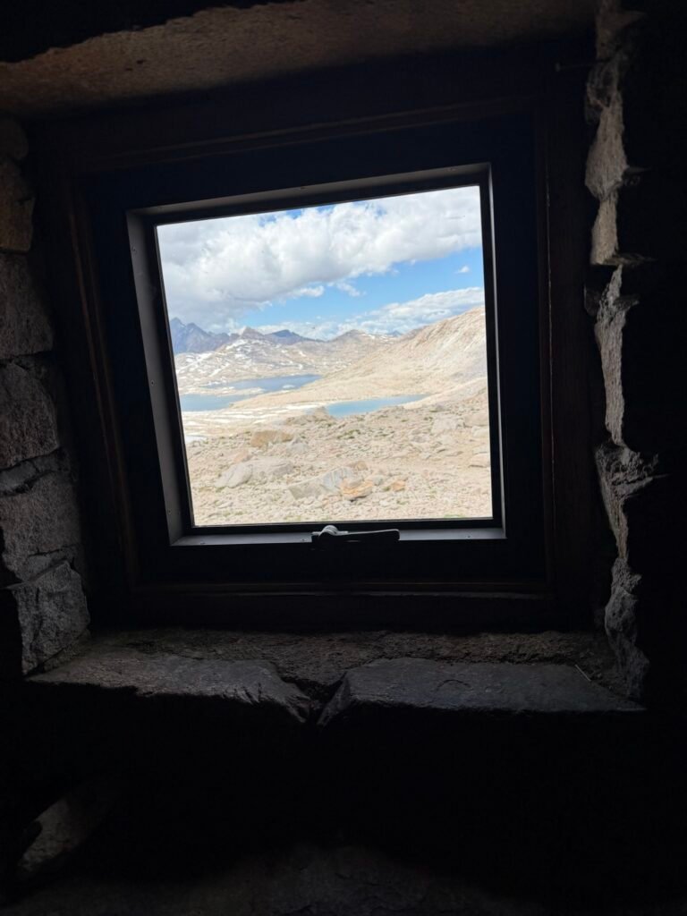
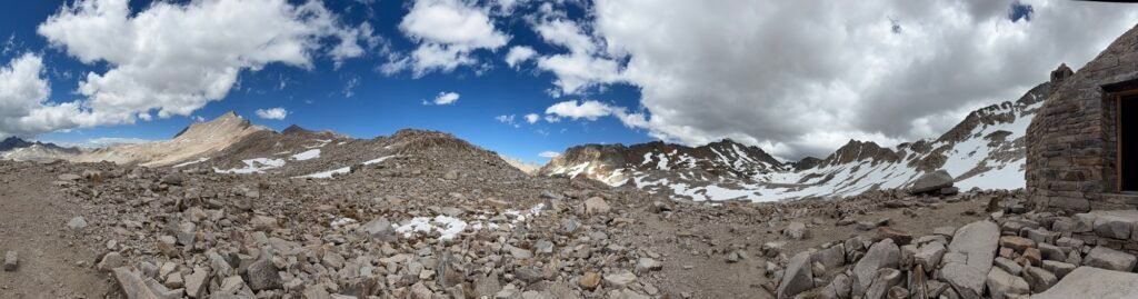
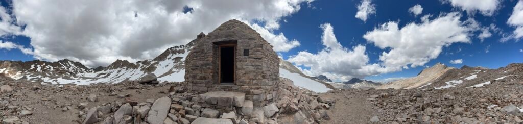
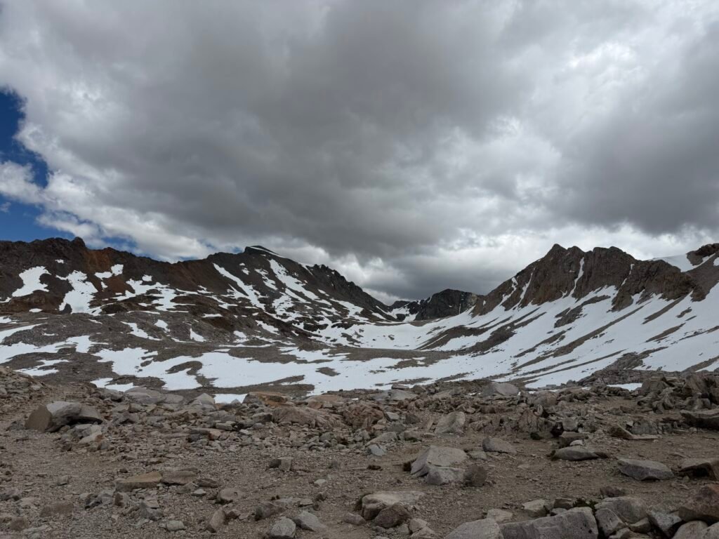
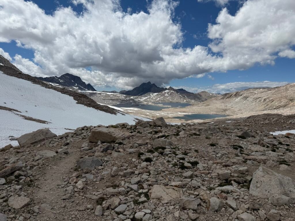
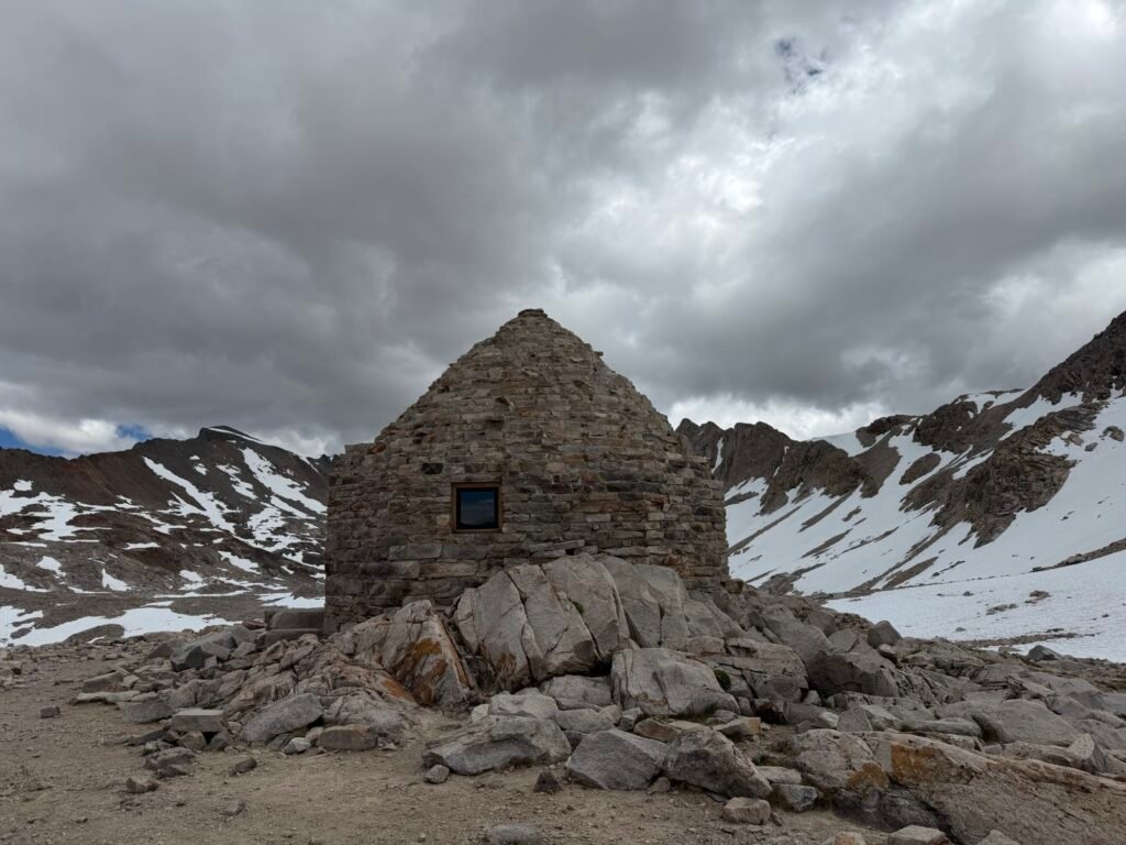
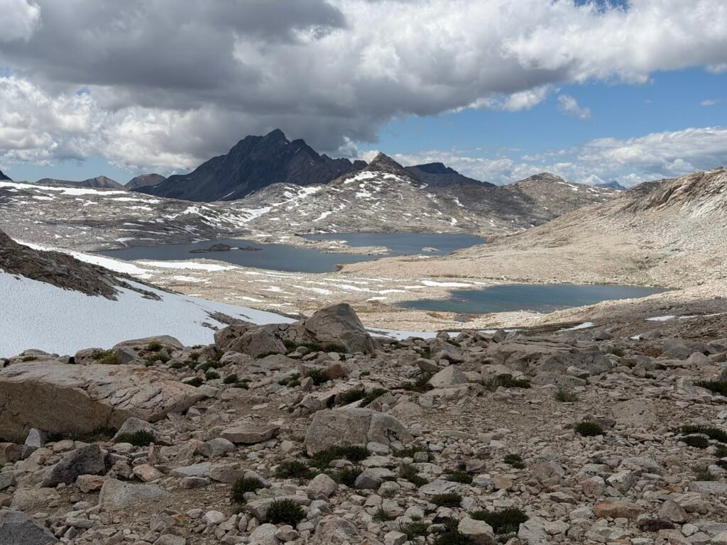
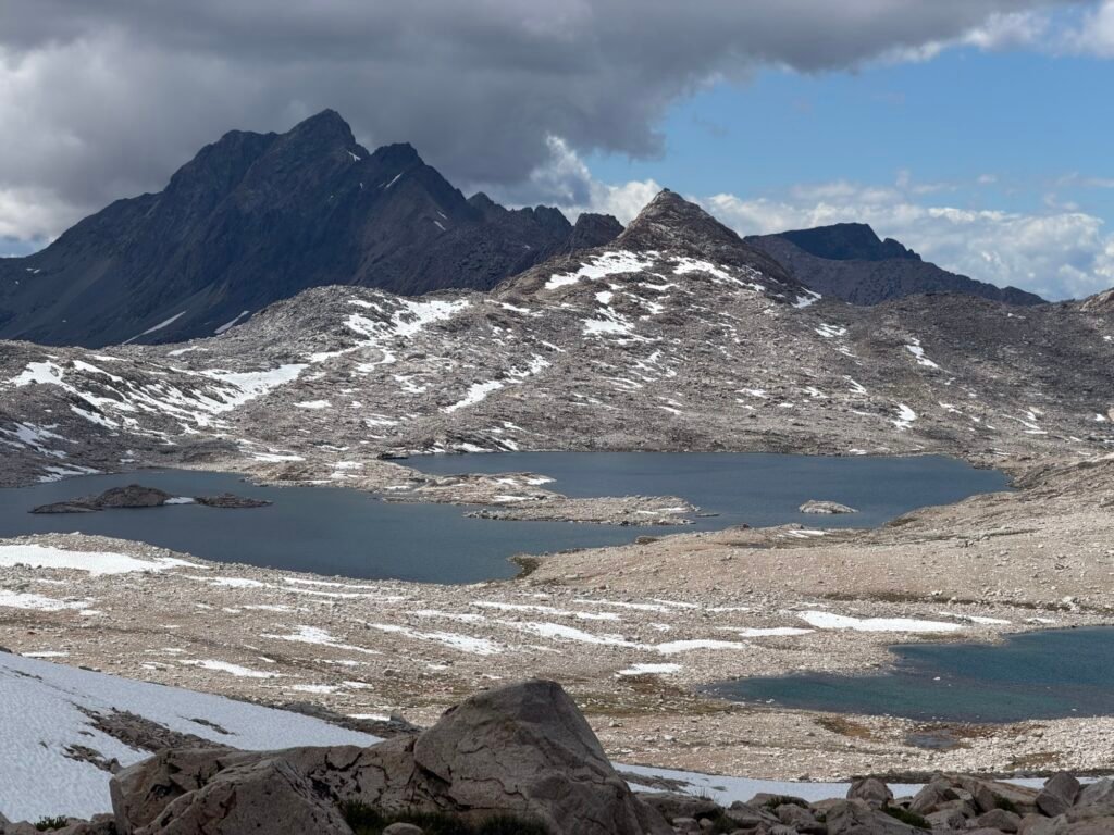
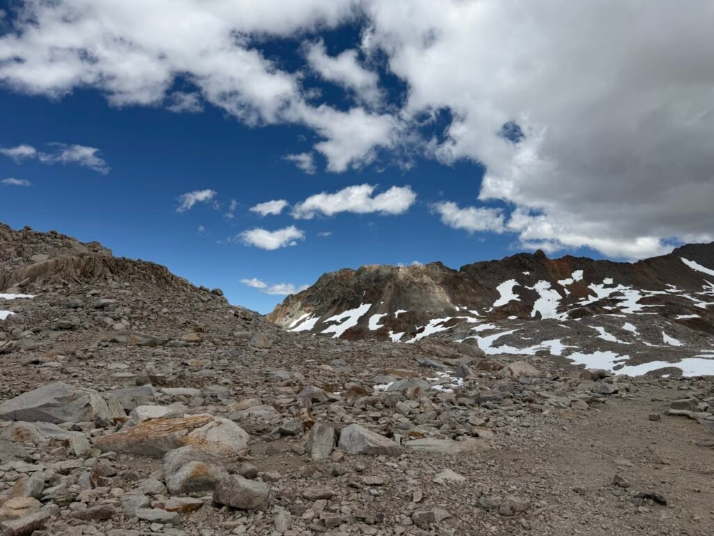
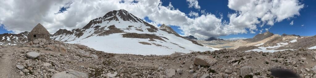
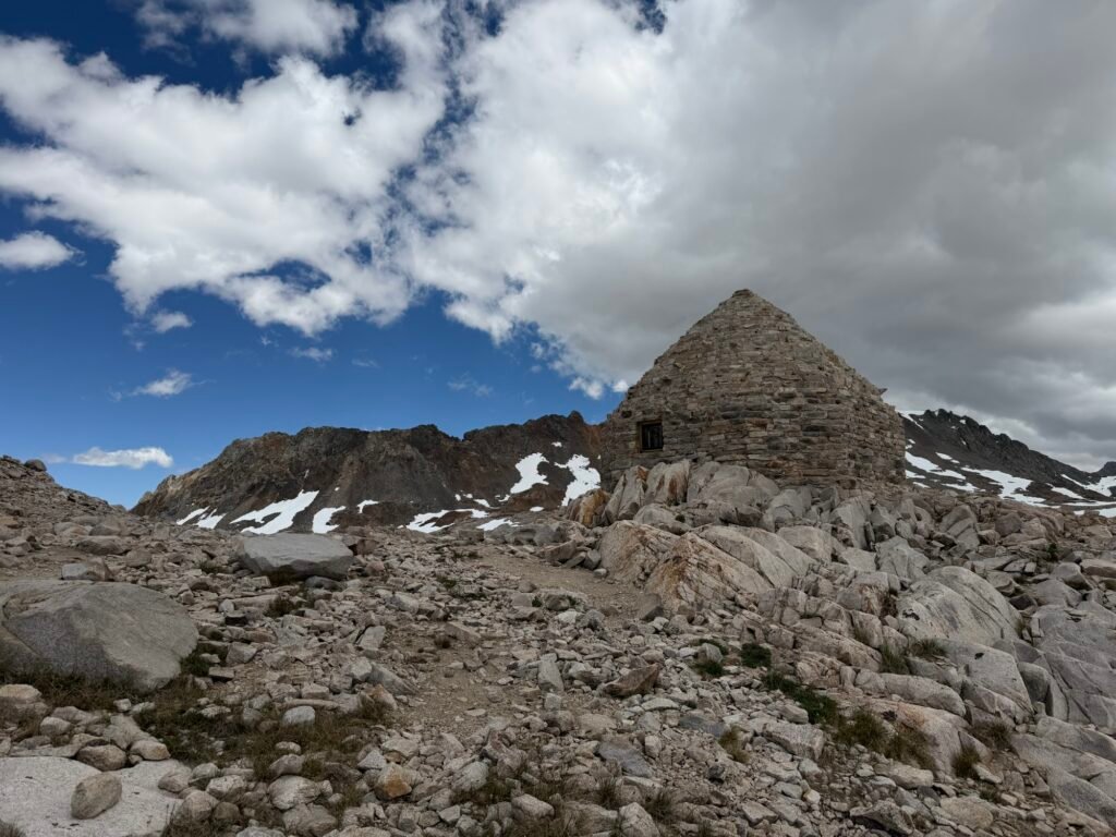
While I was elated to have reached Muir Pass, I didn’t spend a lot of time at the pass. The dark clouds that were rolling in worried me a little. Having spent a long stormy night at nearby Wilma Lake 6 years ago, I didn’t want to chance getting caught in a big storm near the top of Muir Pass again.
So, I started down the north side of the pass. Not as many snow fields to navigate as the south side, but a long stretch through one big field to start.
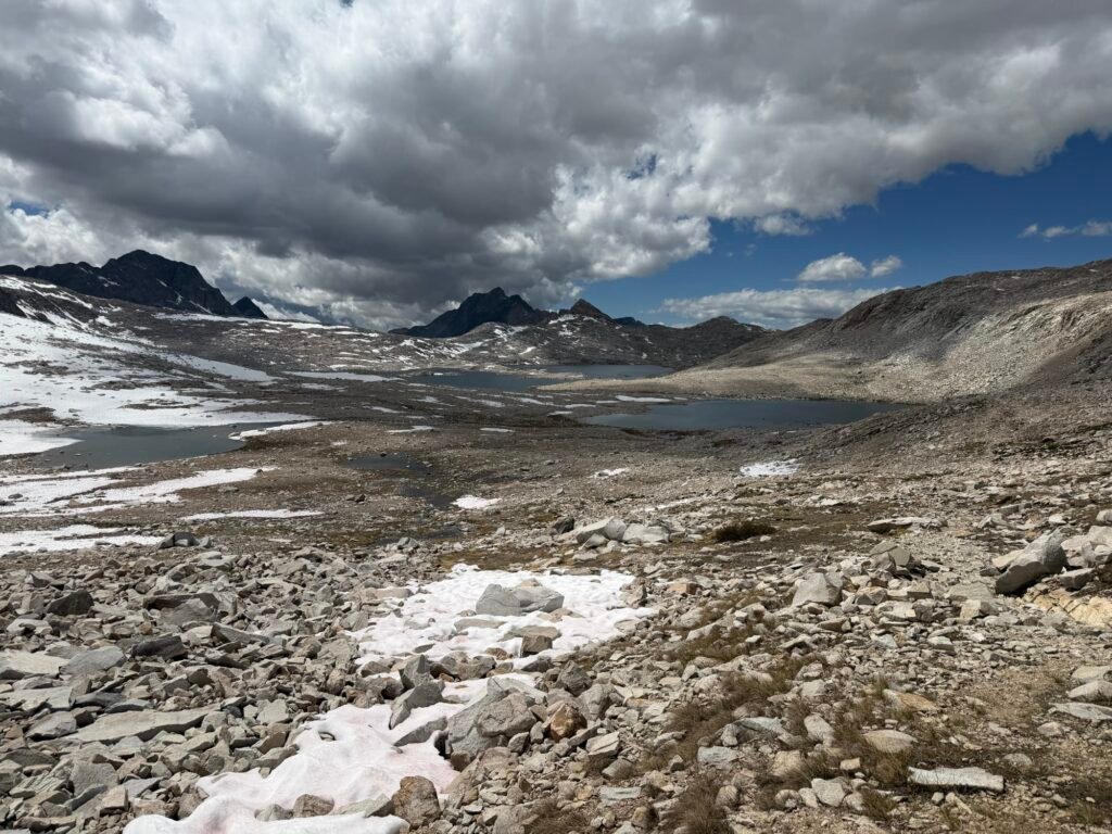
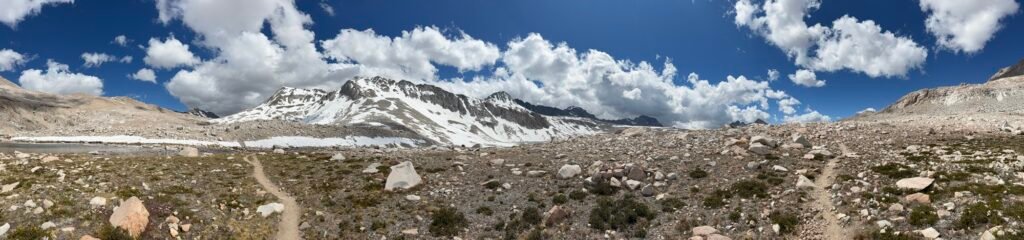
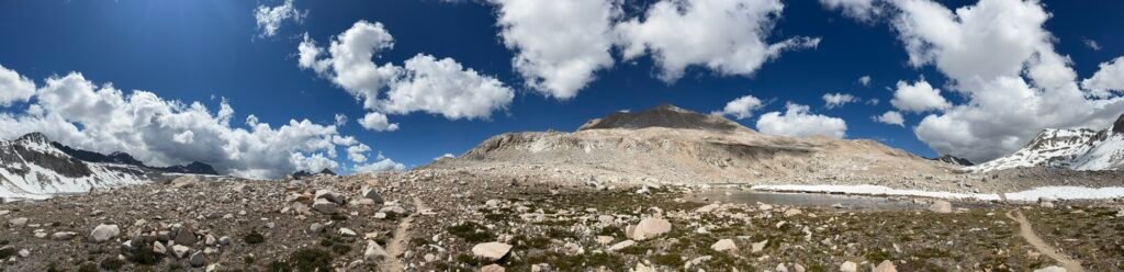
The hike along Wilma Lake was nice, but long. I kept my eyes on the clouds and sky for any signs or rain or thunder. Fortunately, nothing materialized to cause rain or other problems.
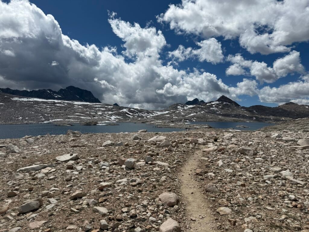
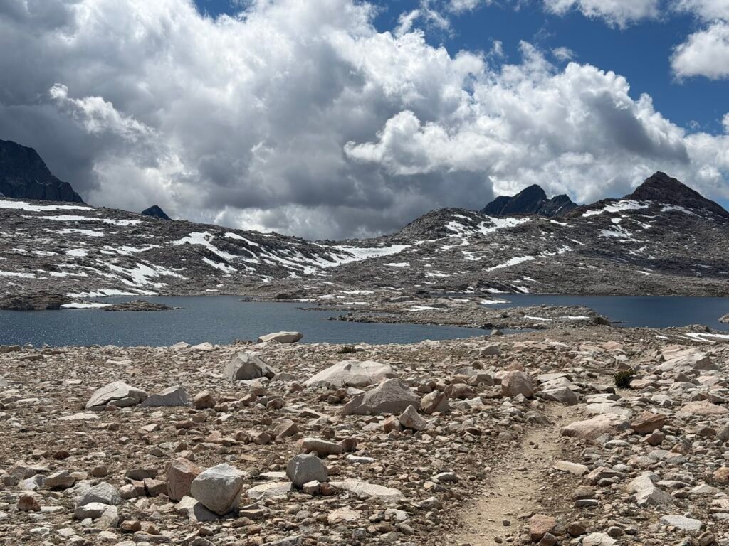
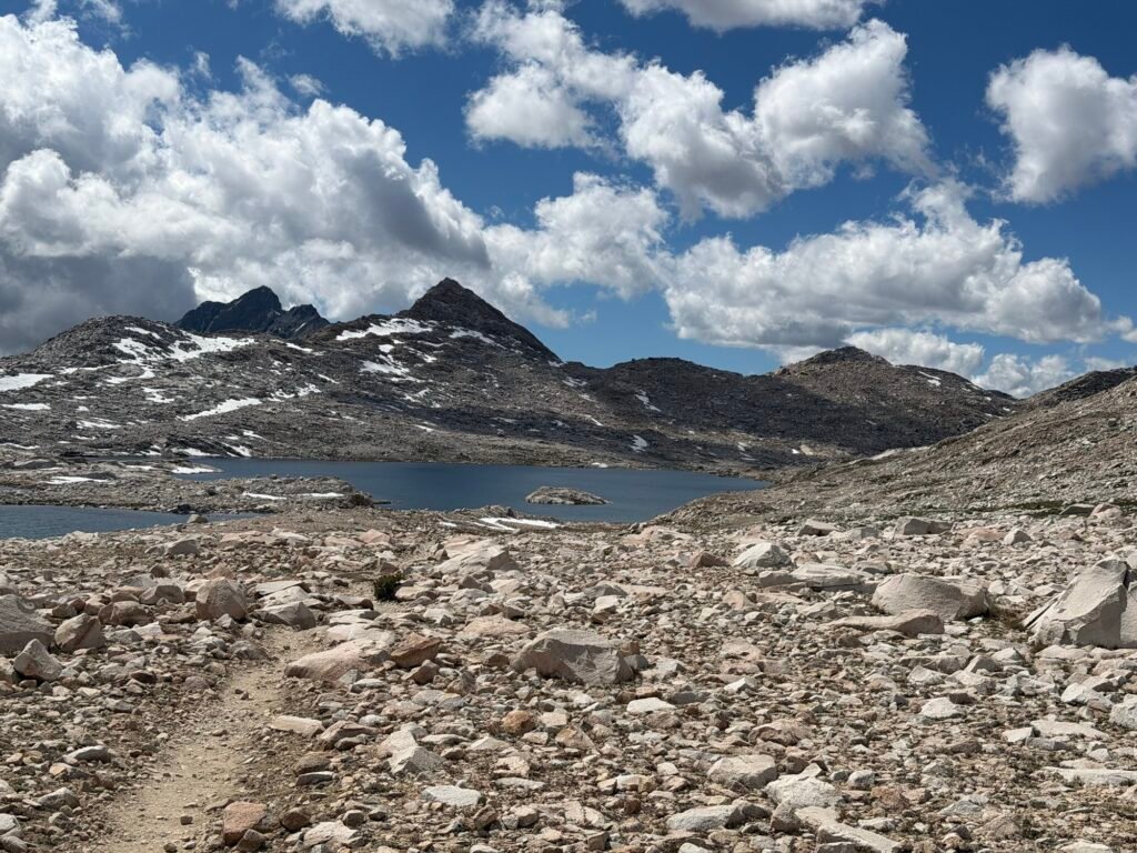
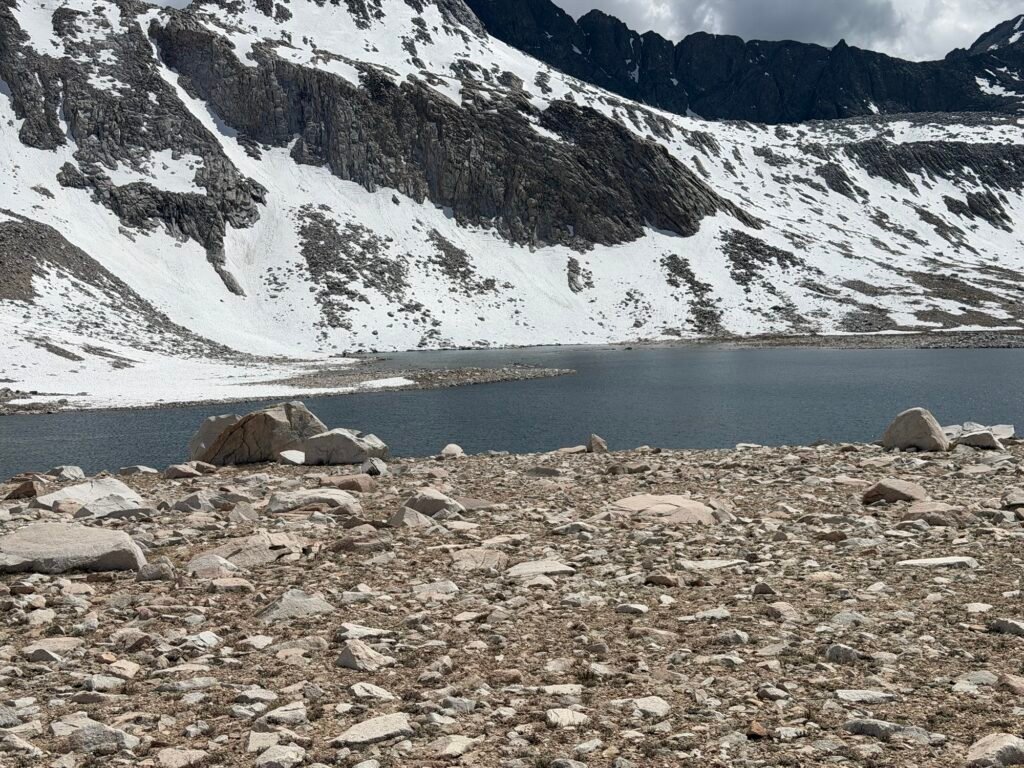
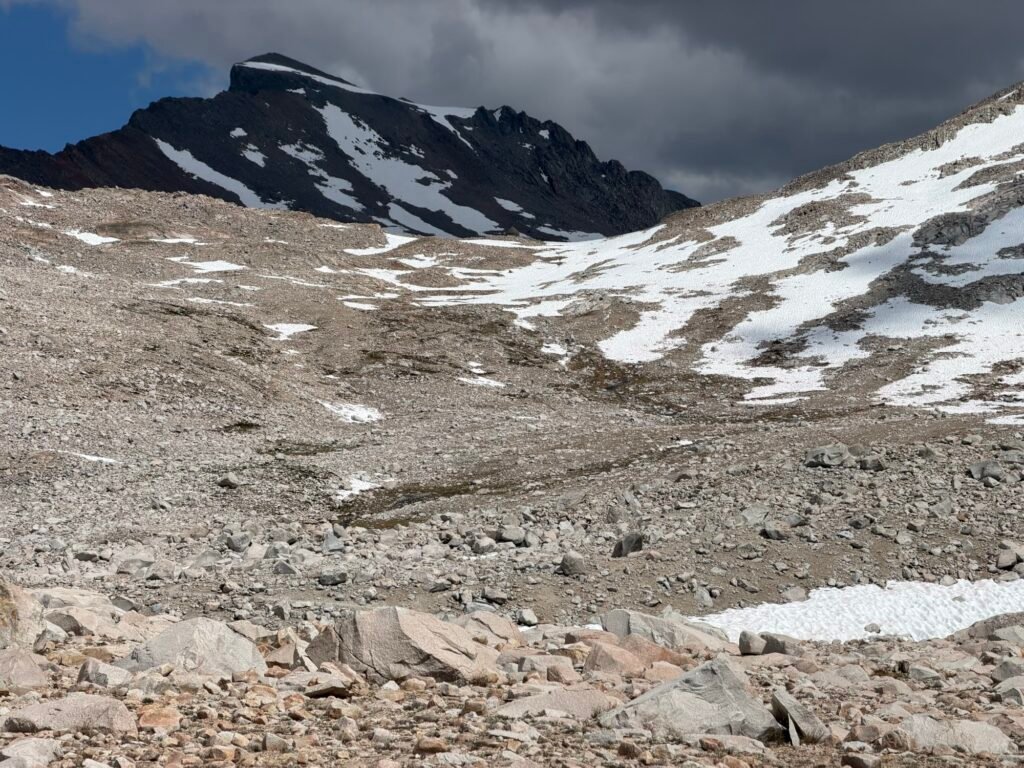
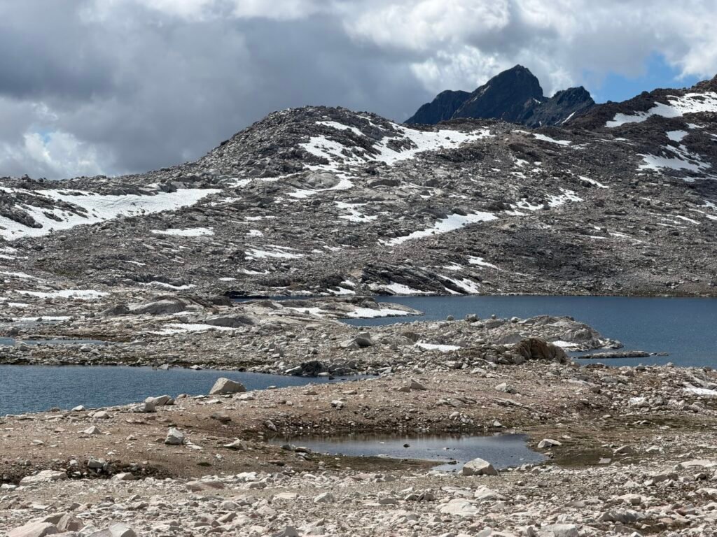
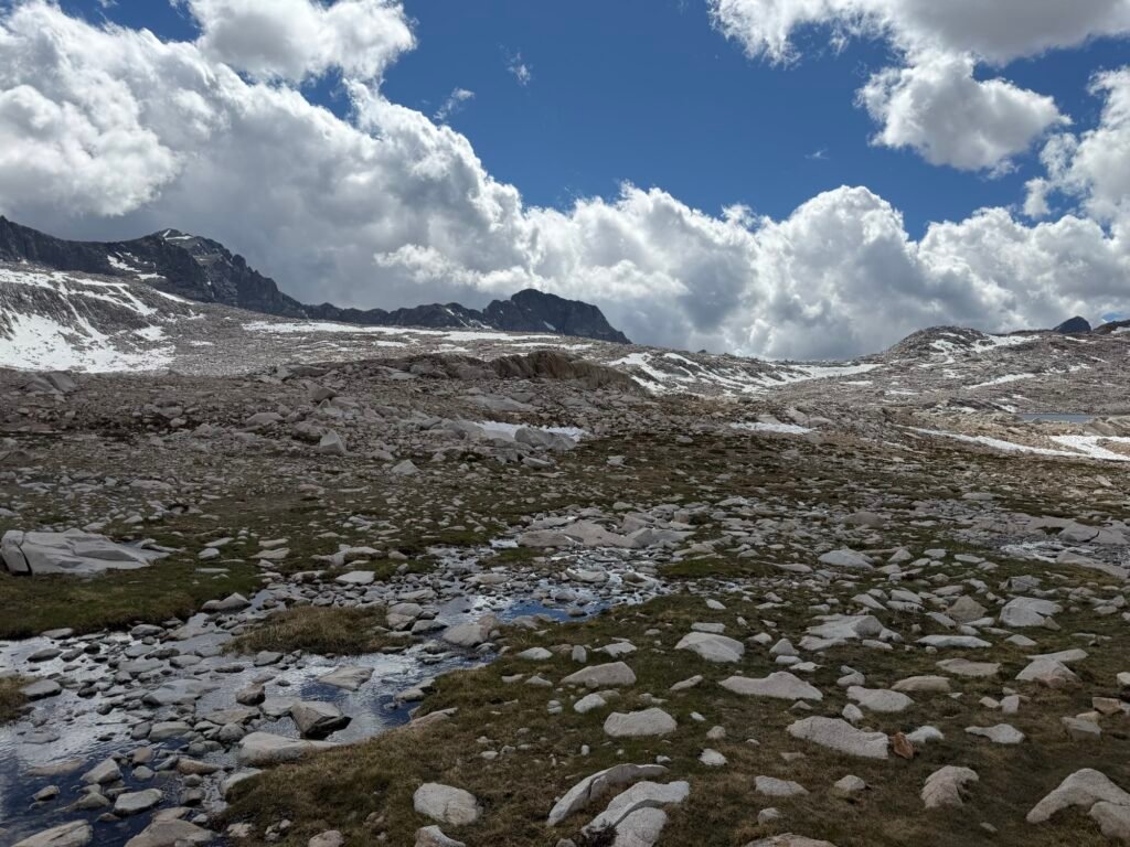
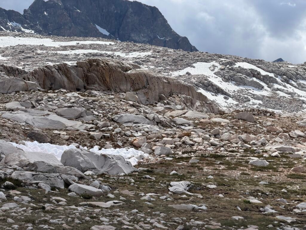
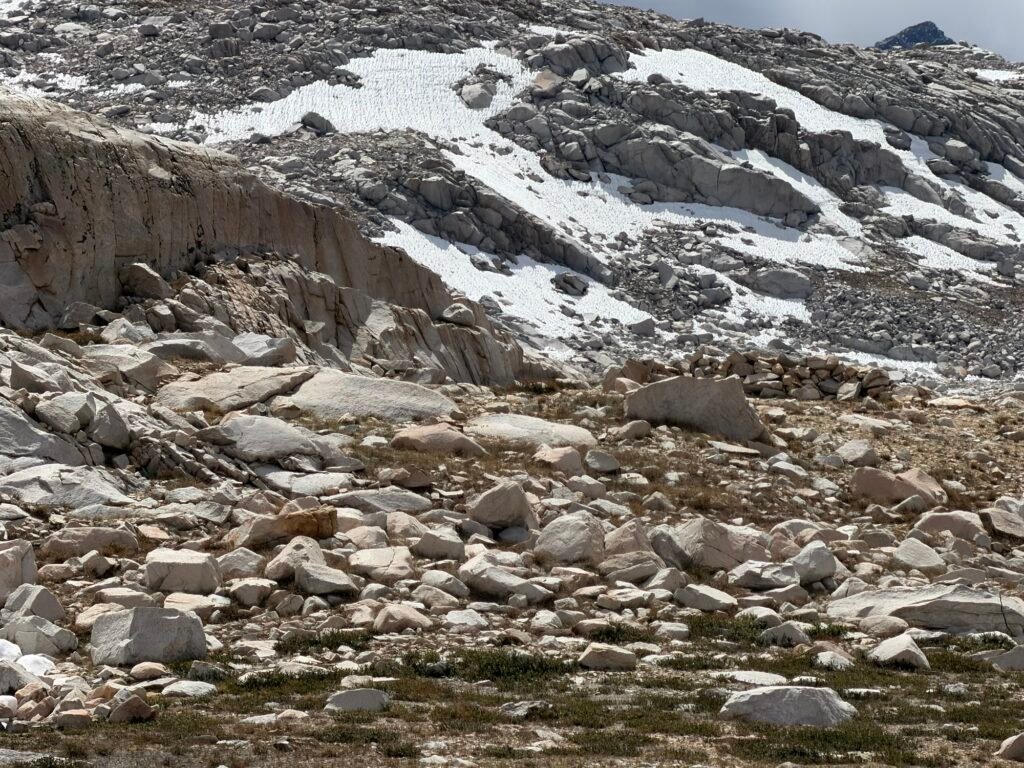
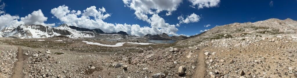
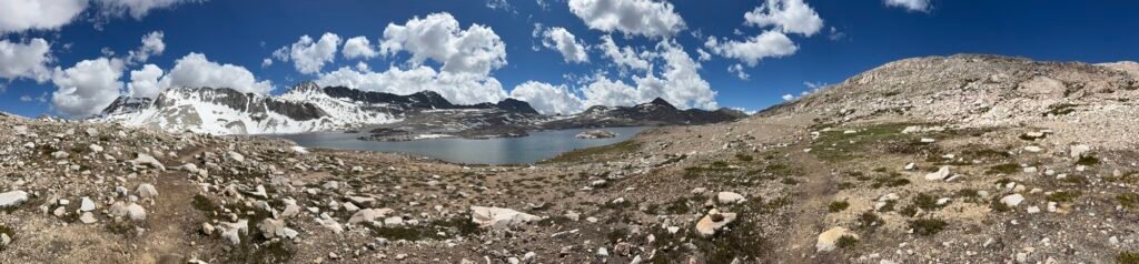
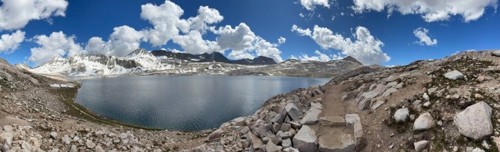
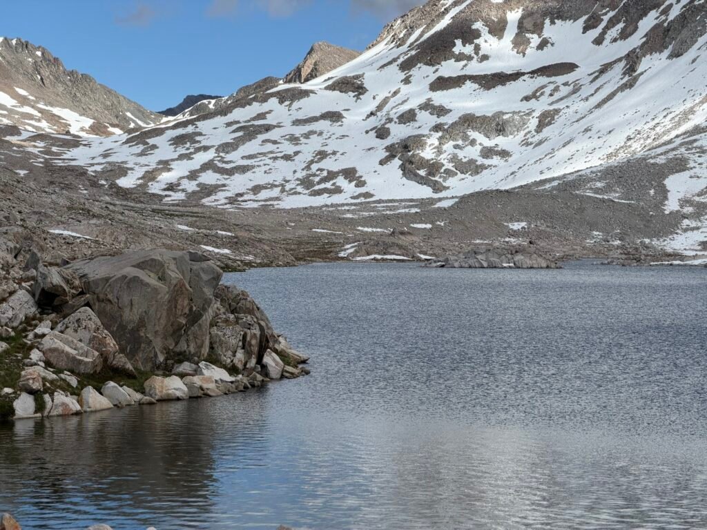
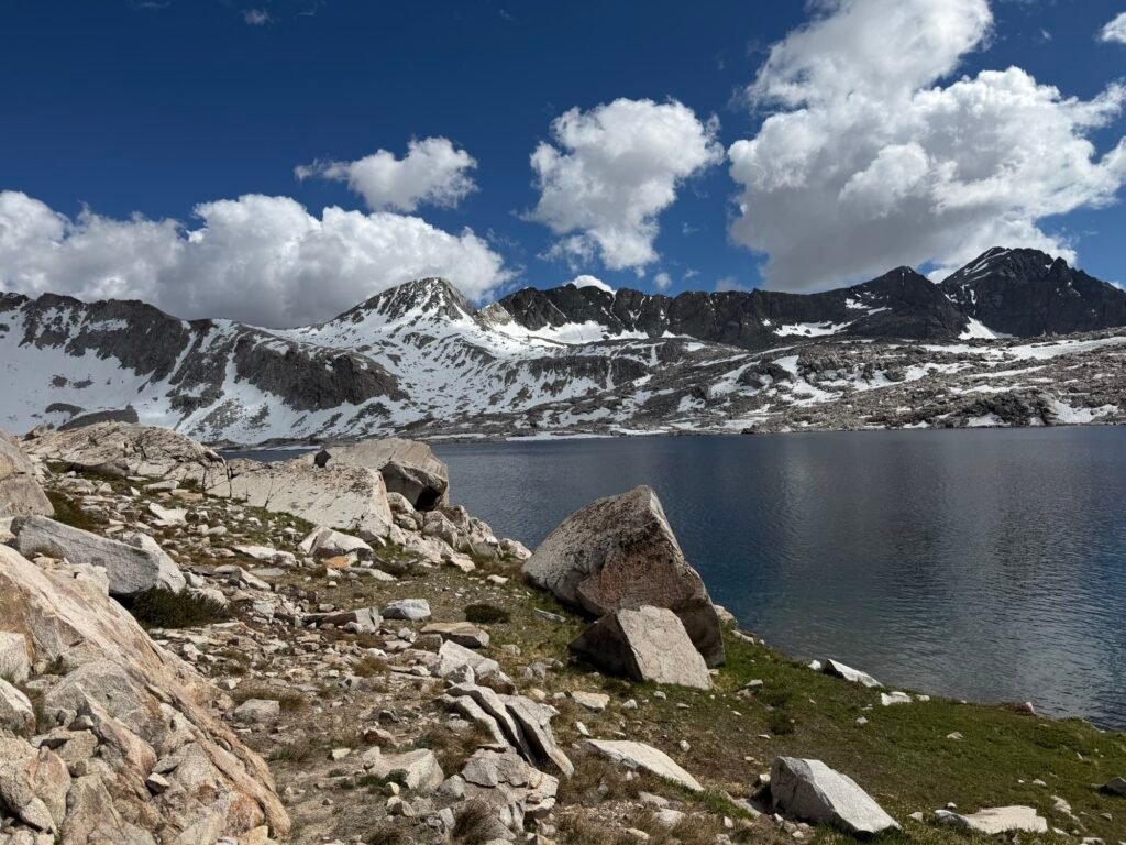
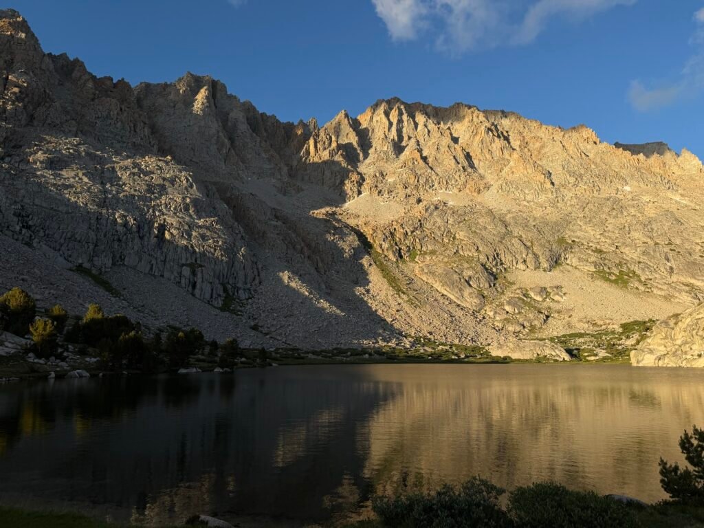
Once past Wilma Lake, I descended down into Evolution Basin I hiked down along several alpine lakes
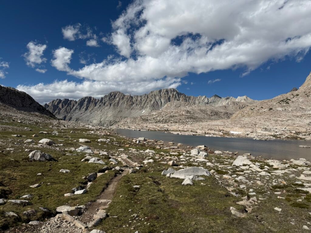
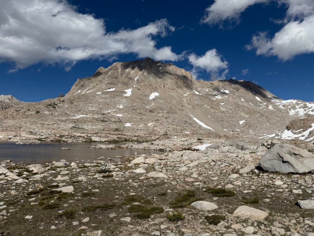
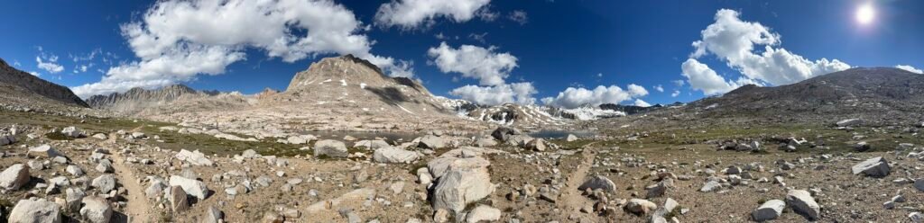
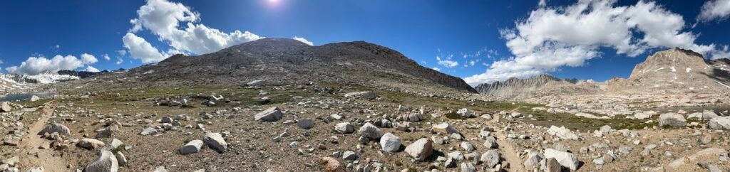
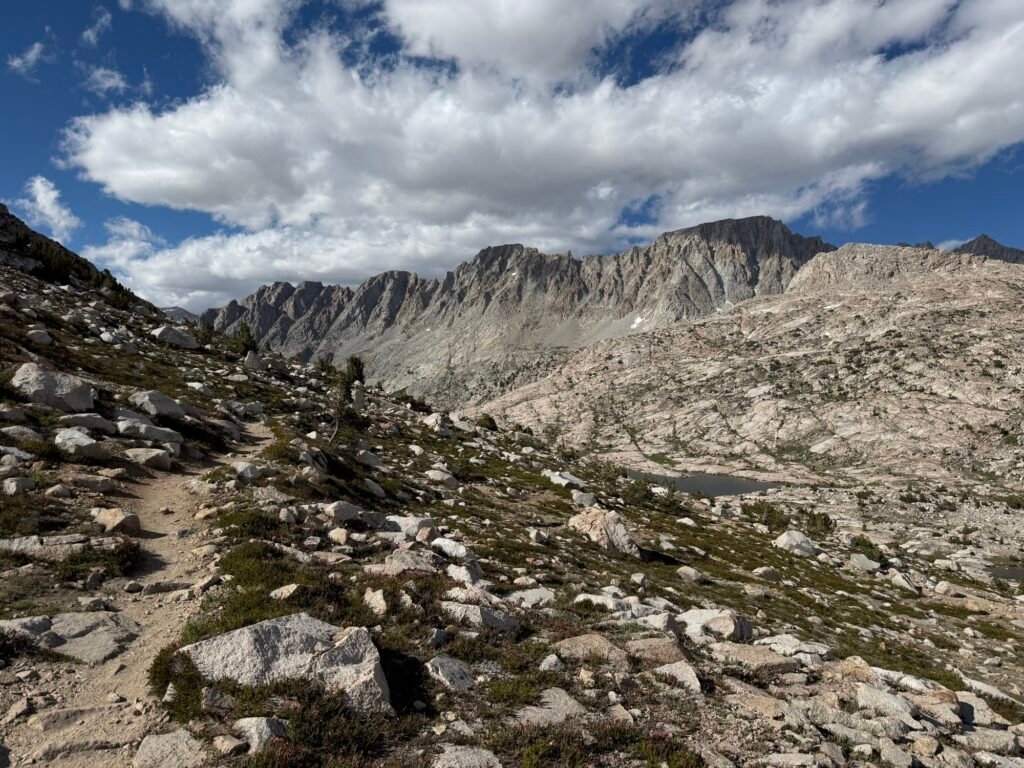
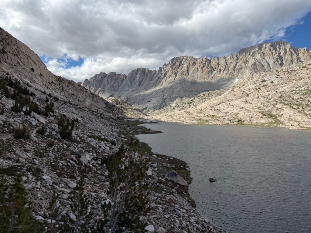
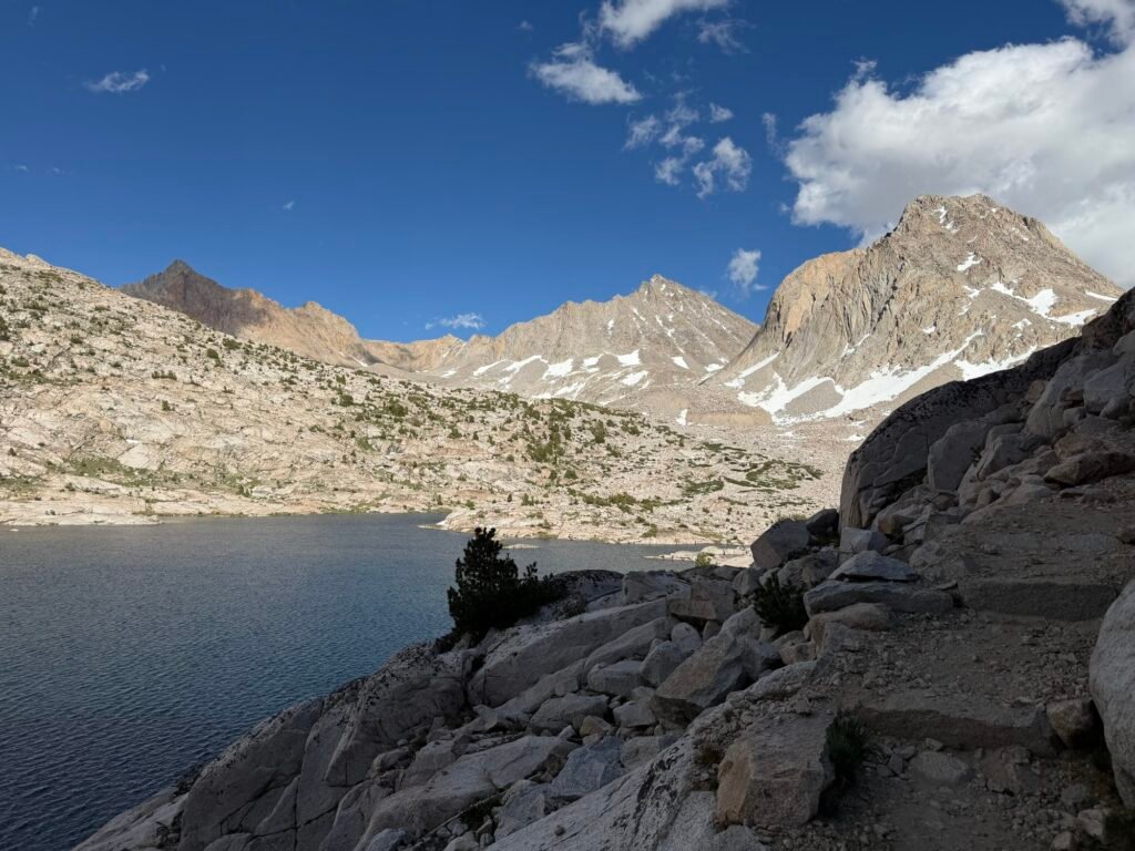
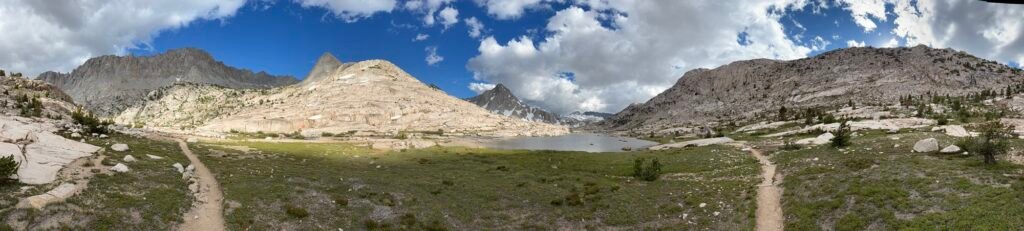
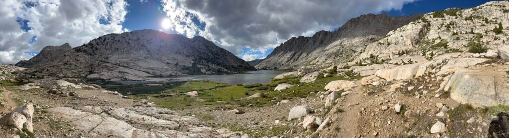
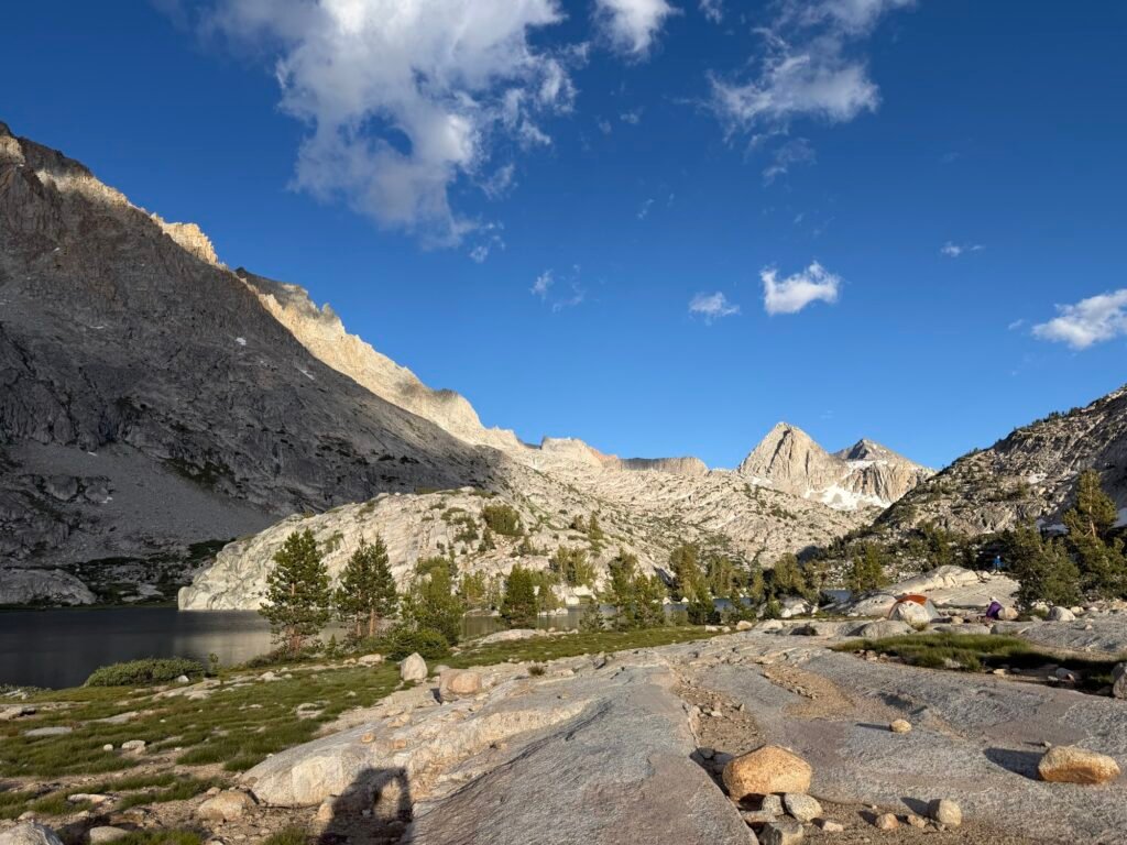
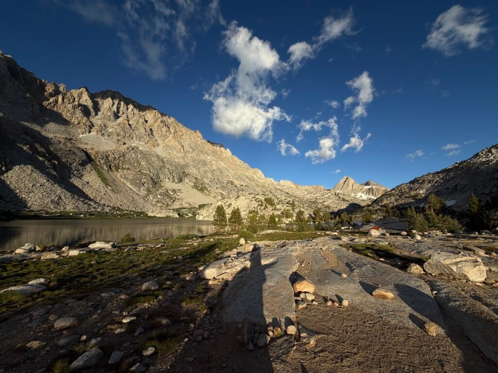
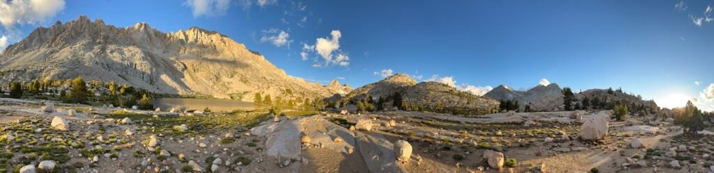
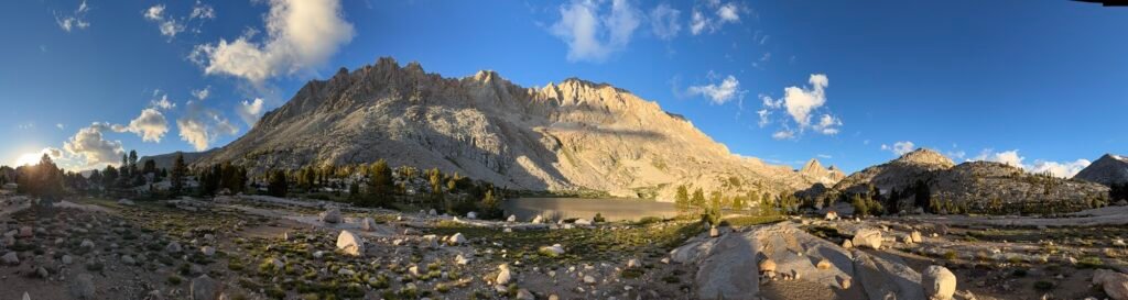
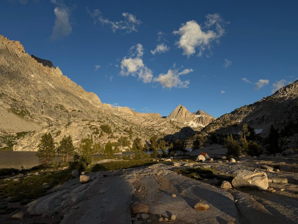
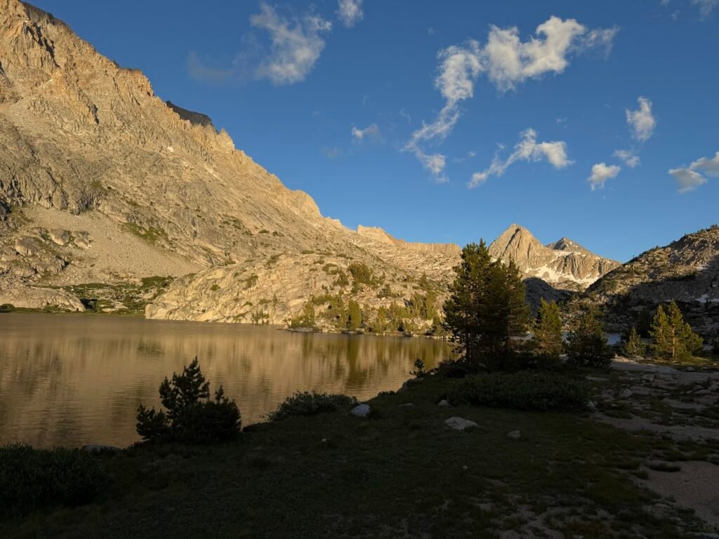
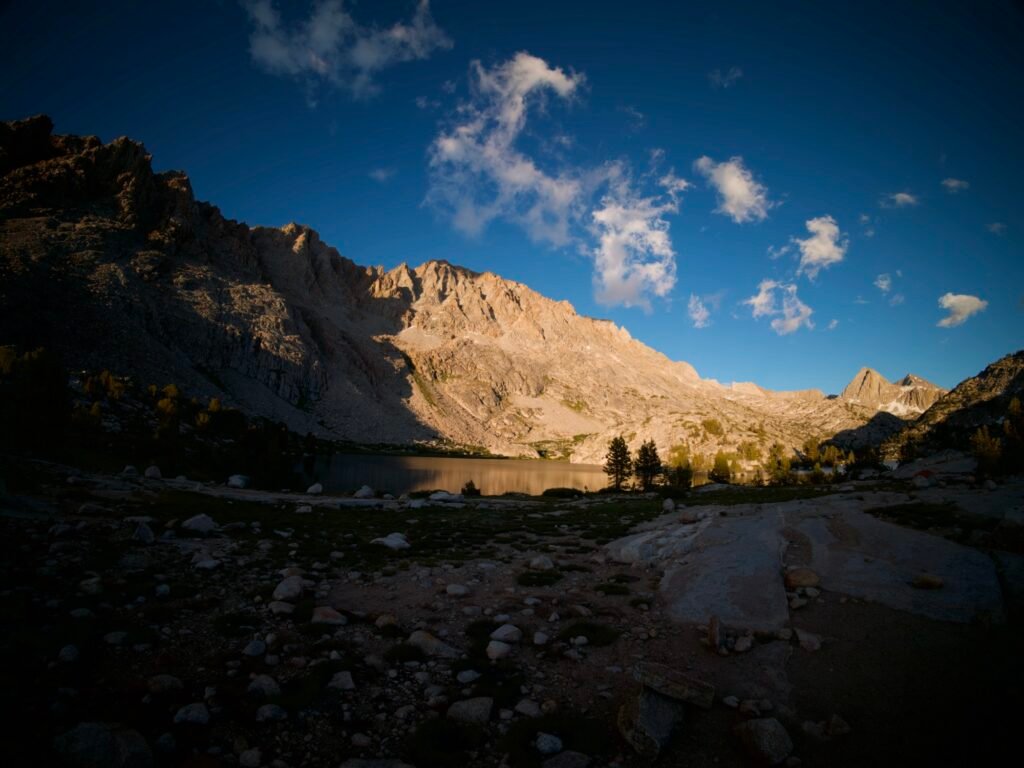
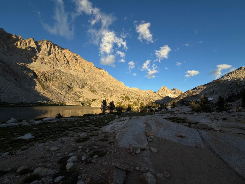
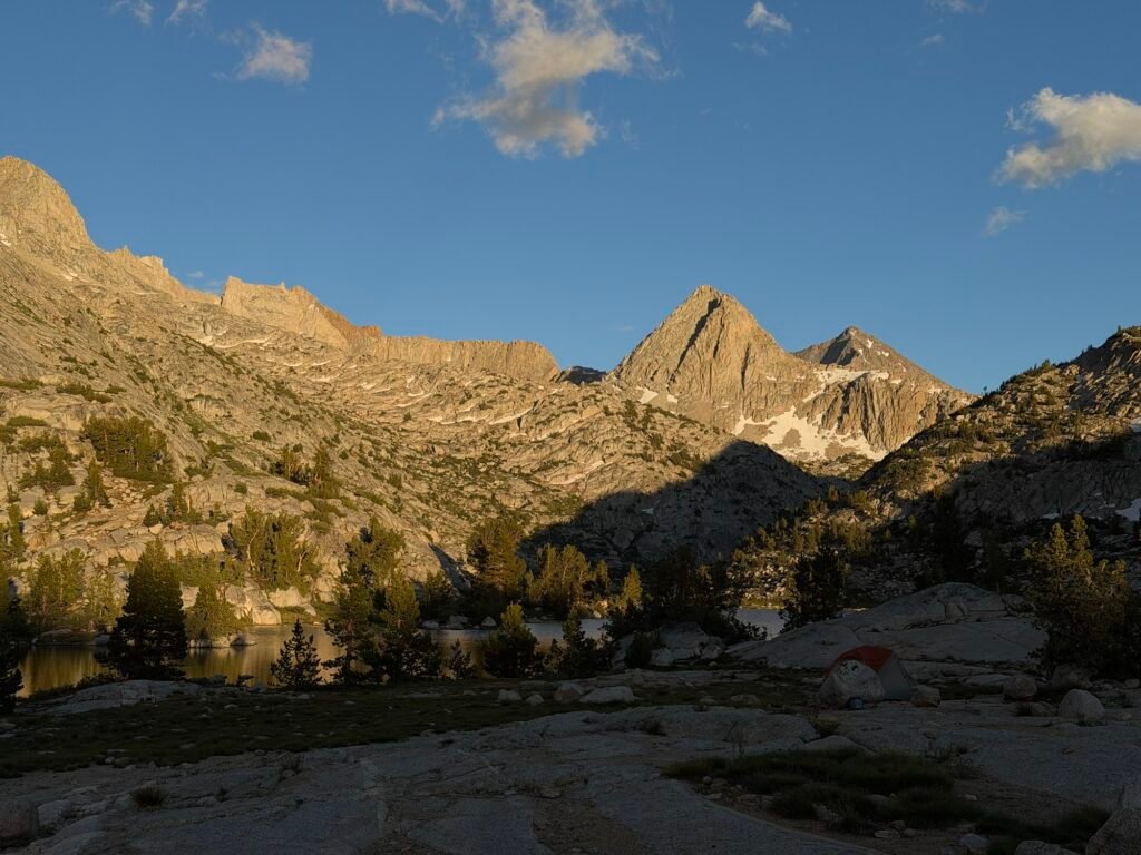
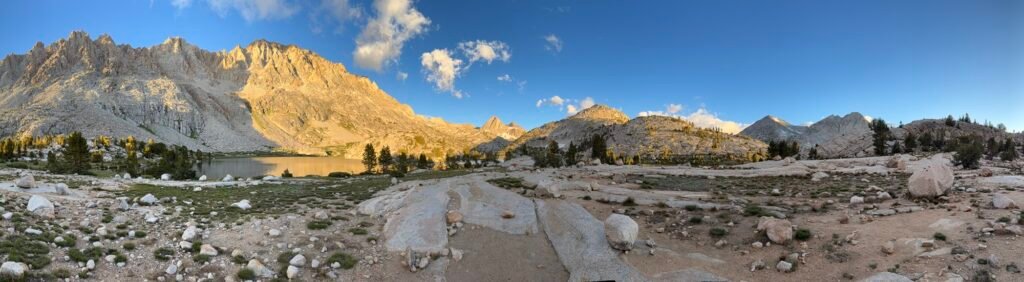
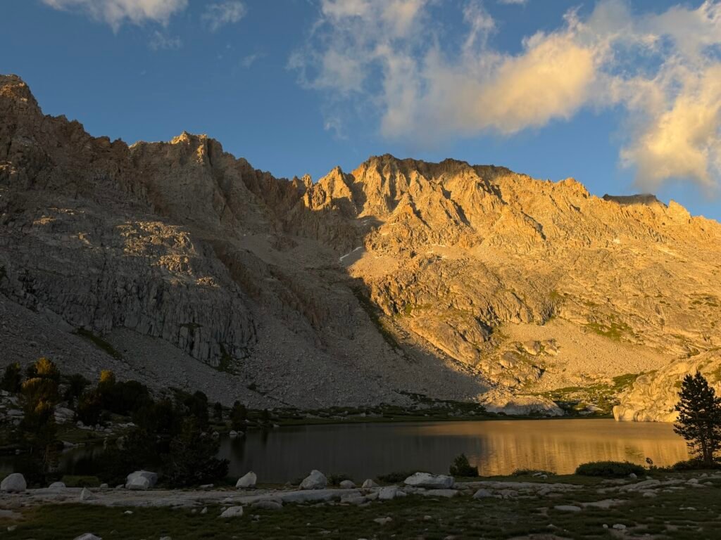
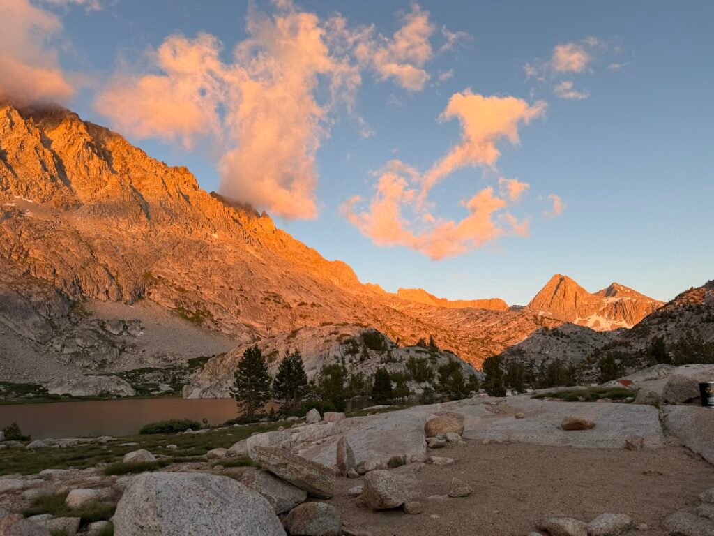
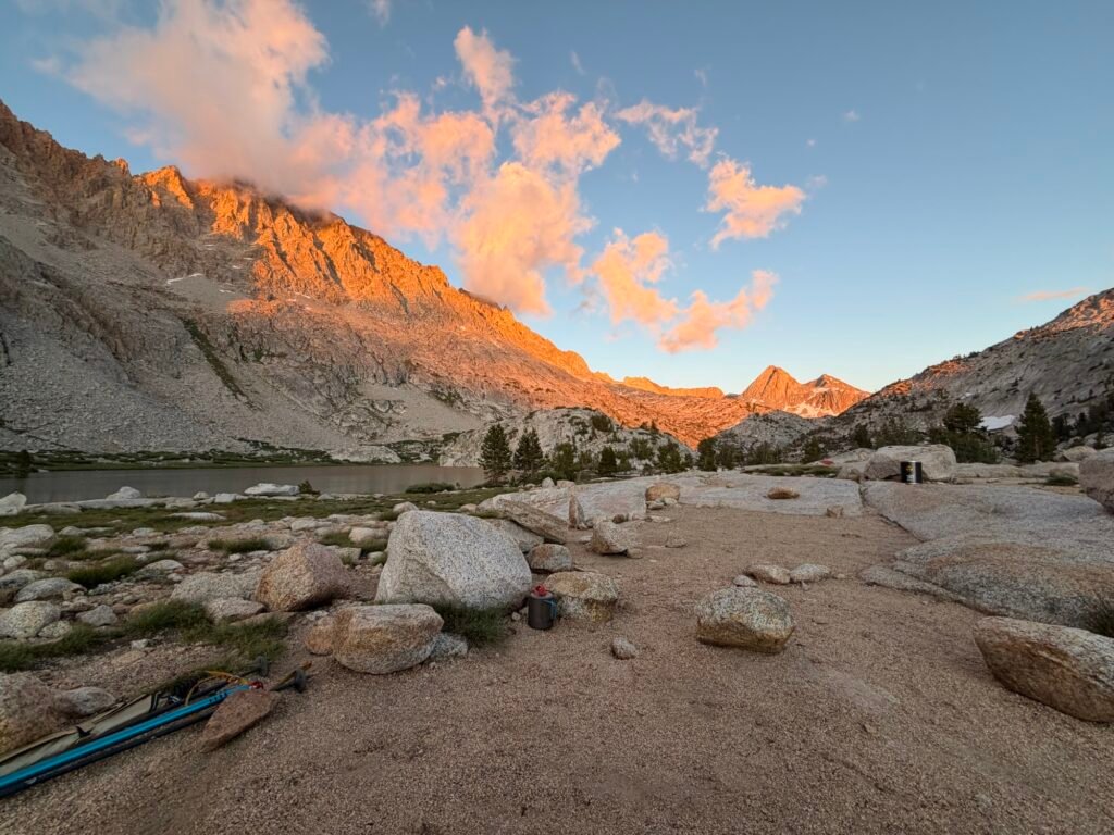
Once I reached Evolution Lake, I started looking for a campsite for the night.
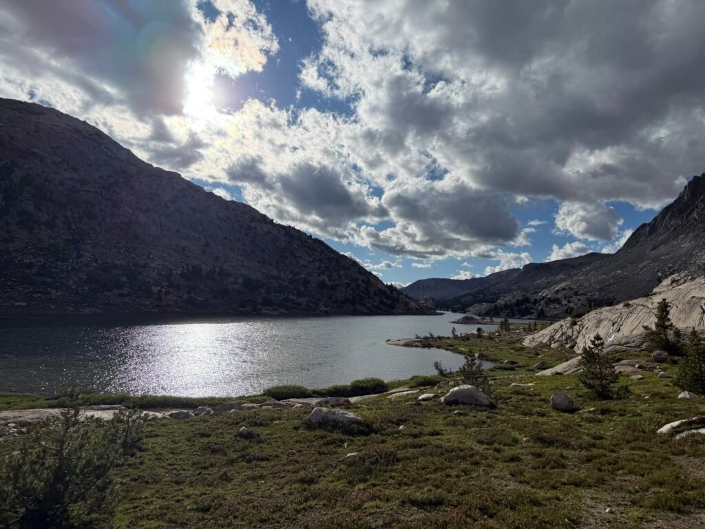
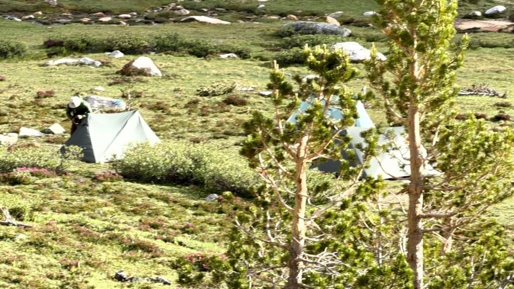
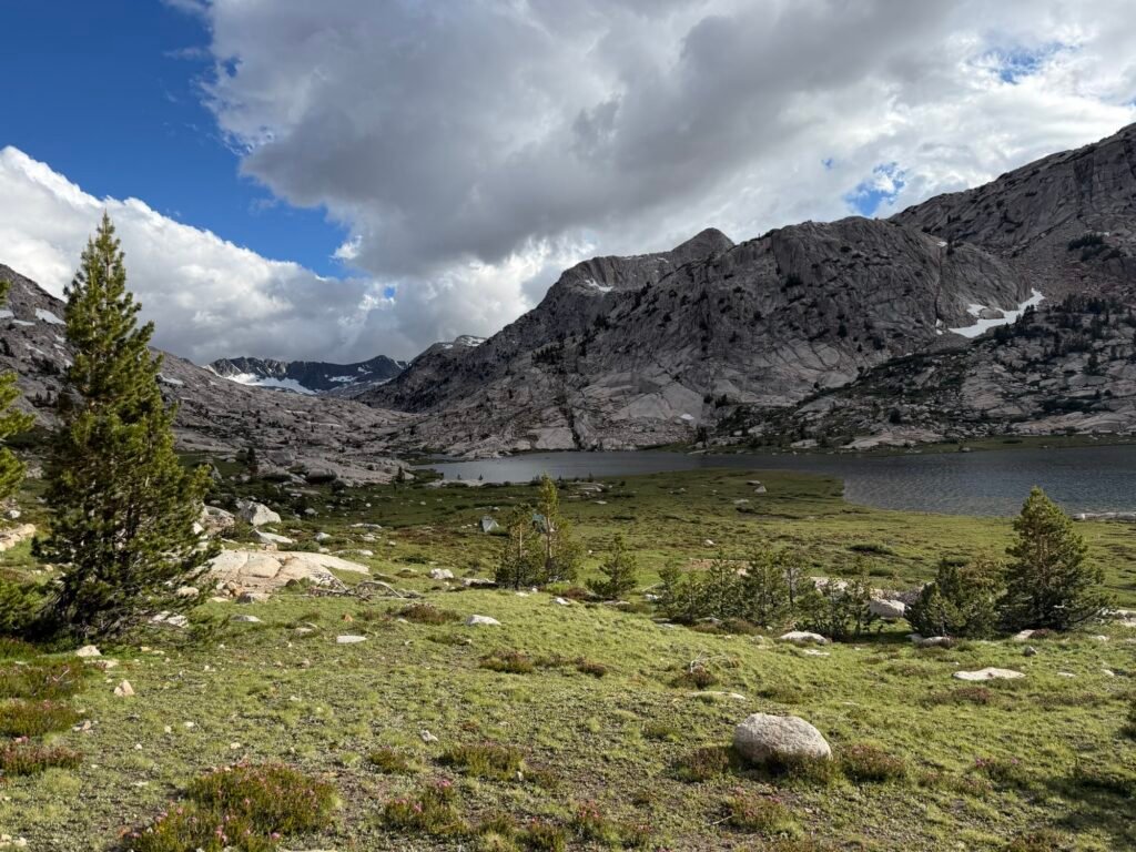
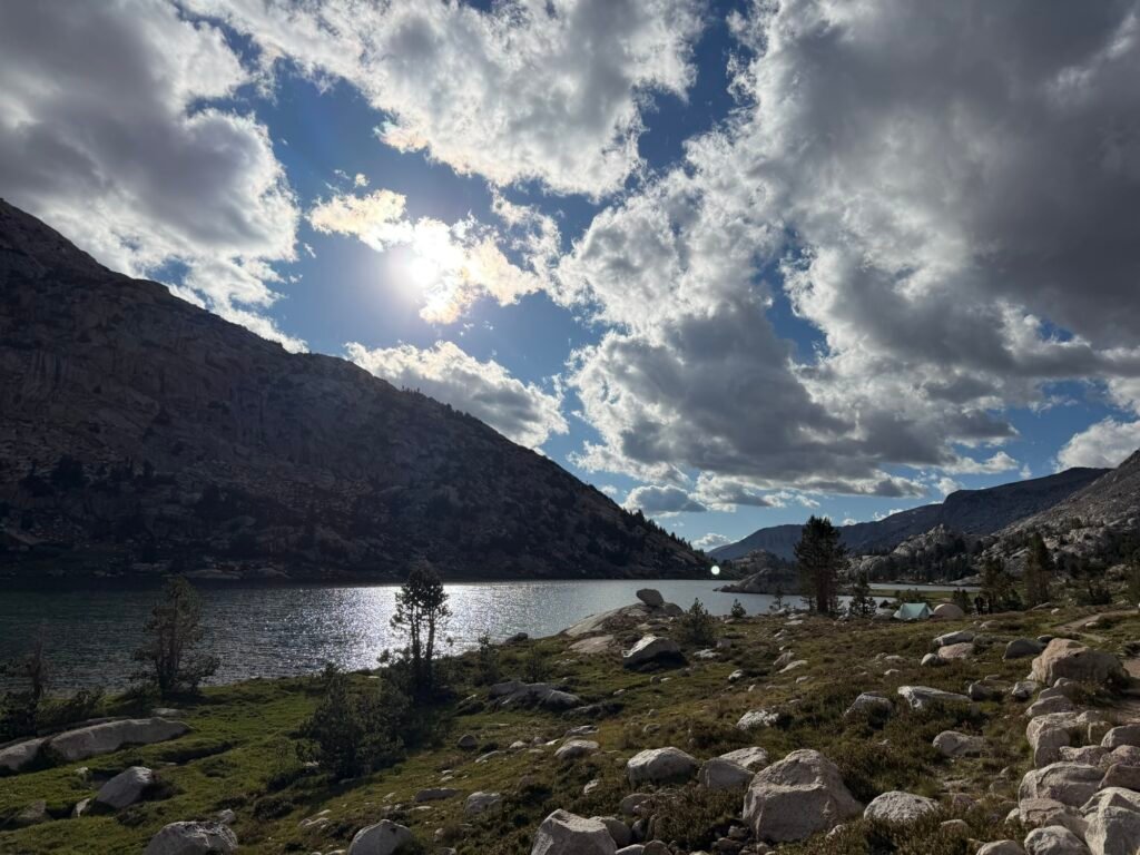
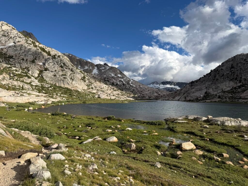
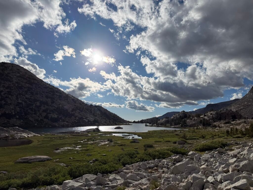
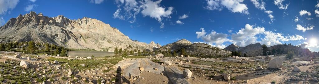
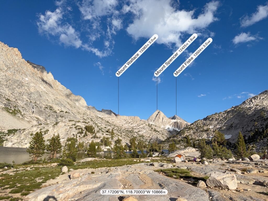
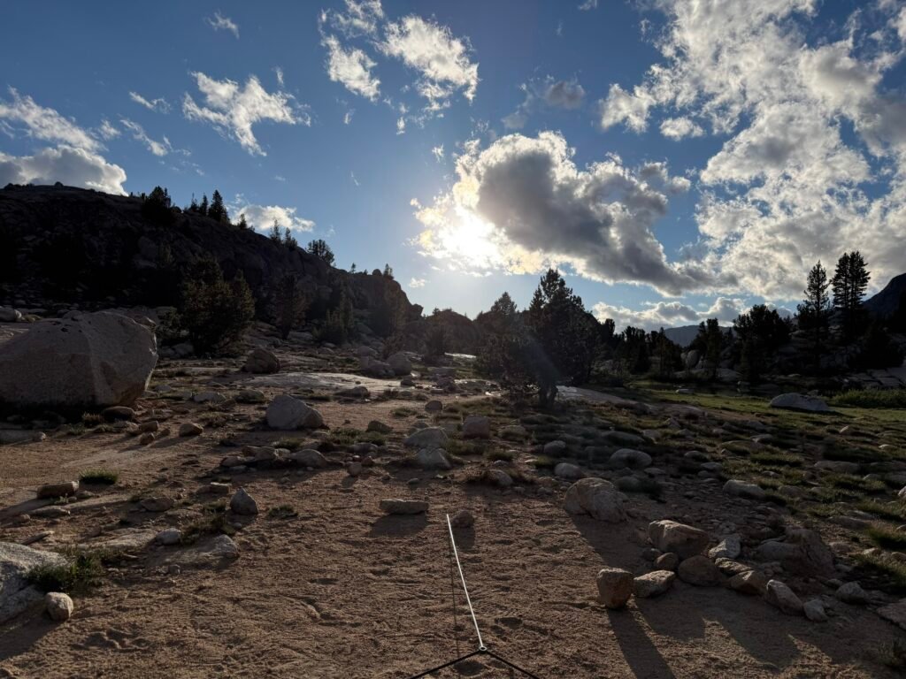
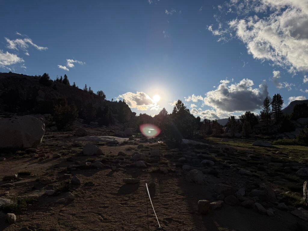
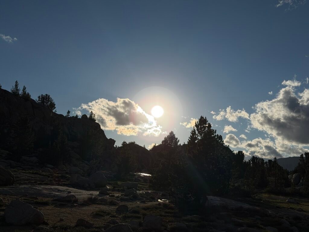
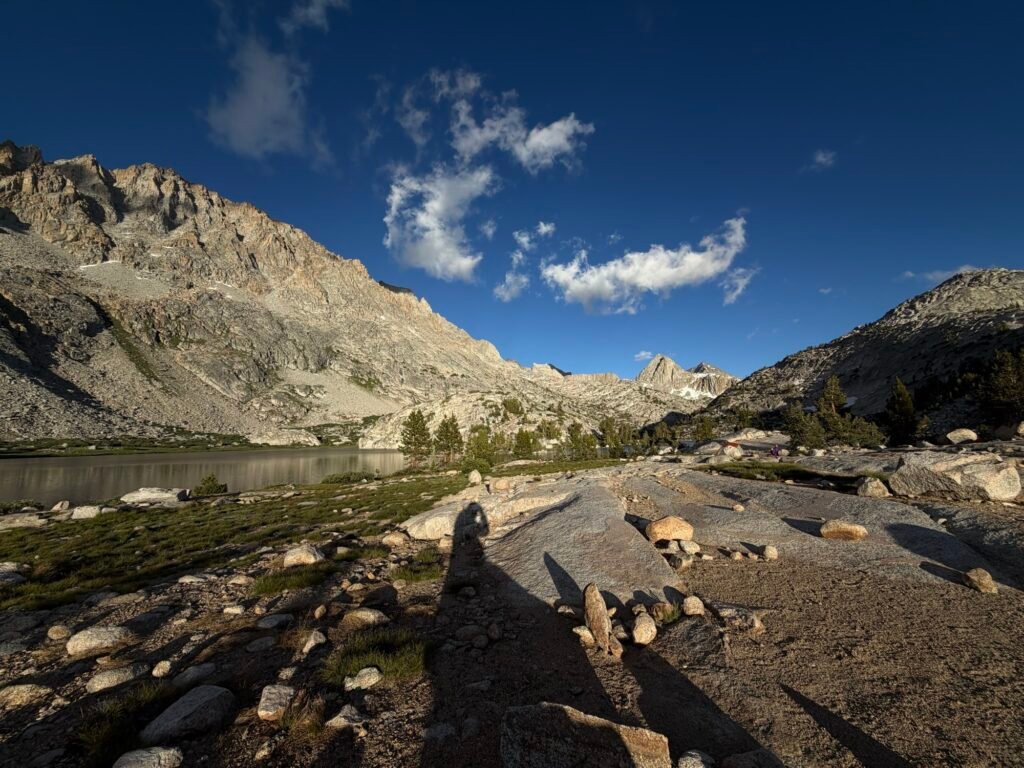
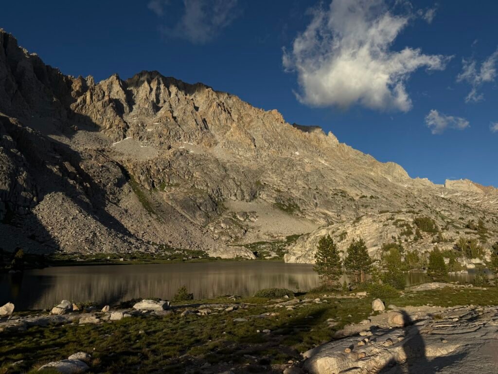
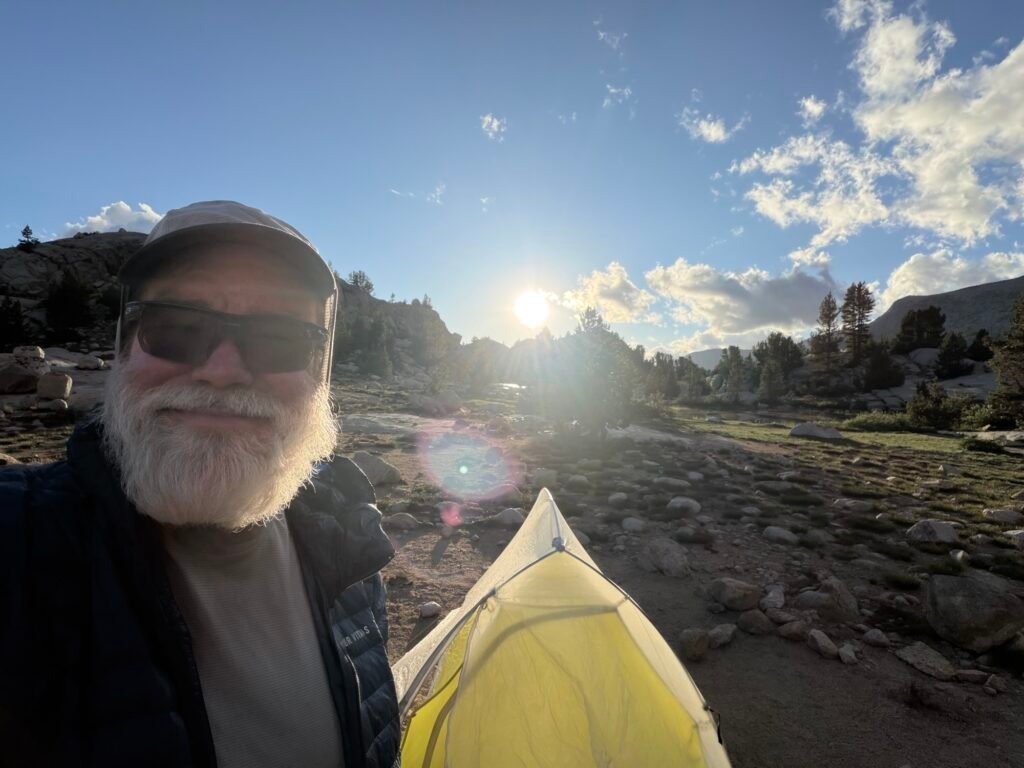
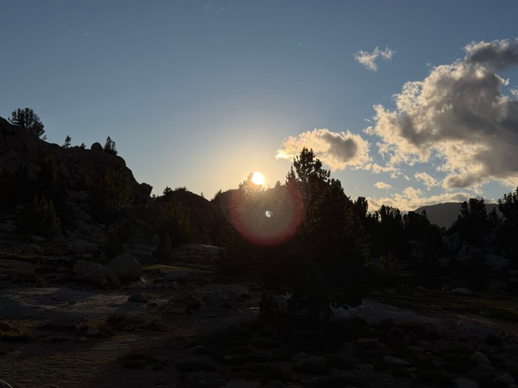
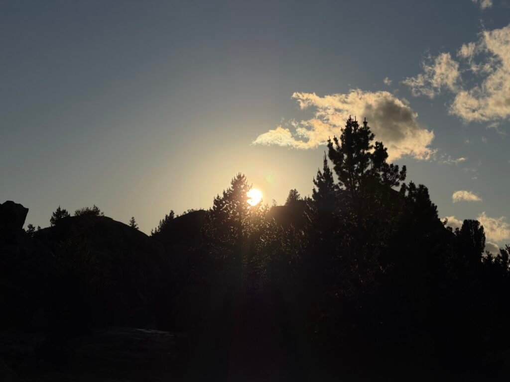
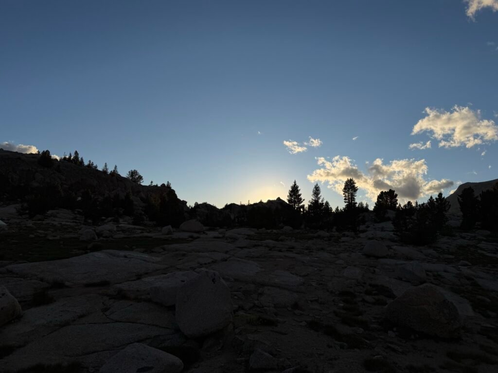
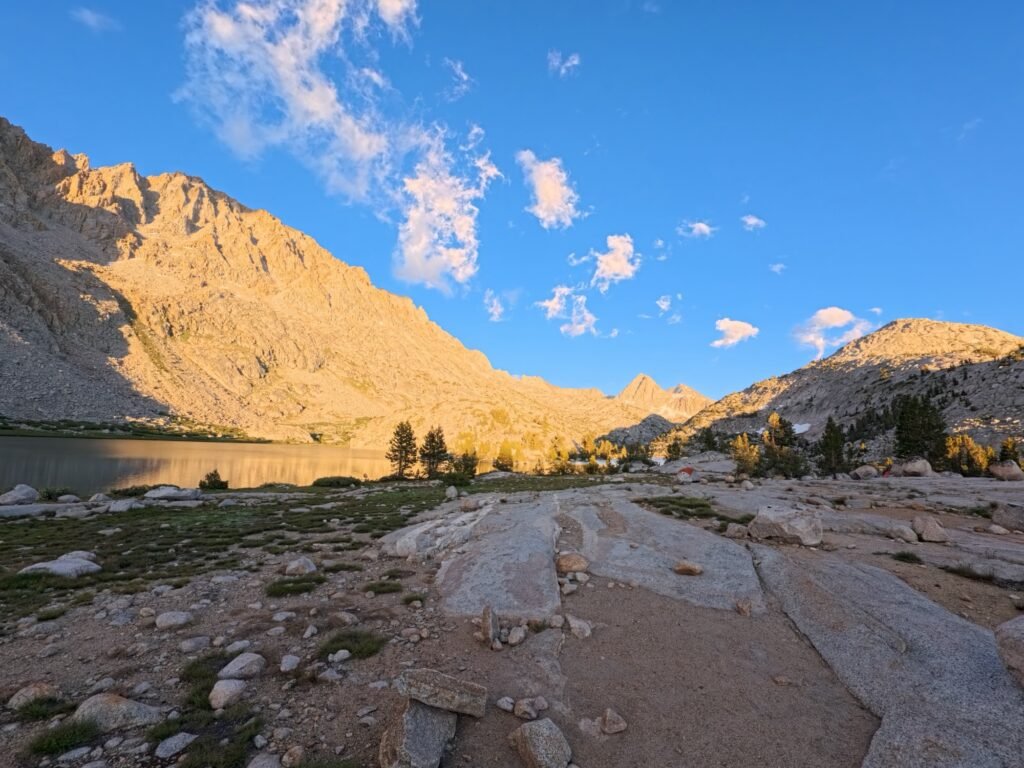
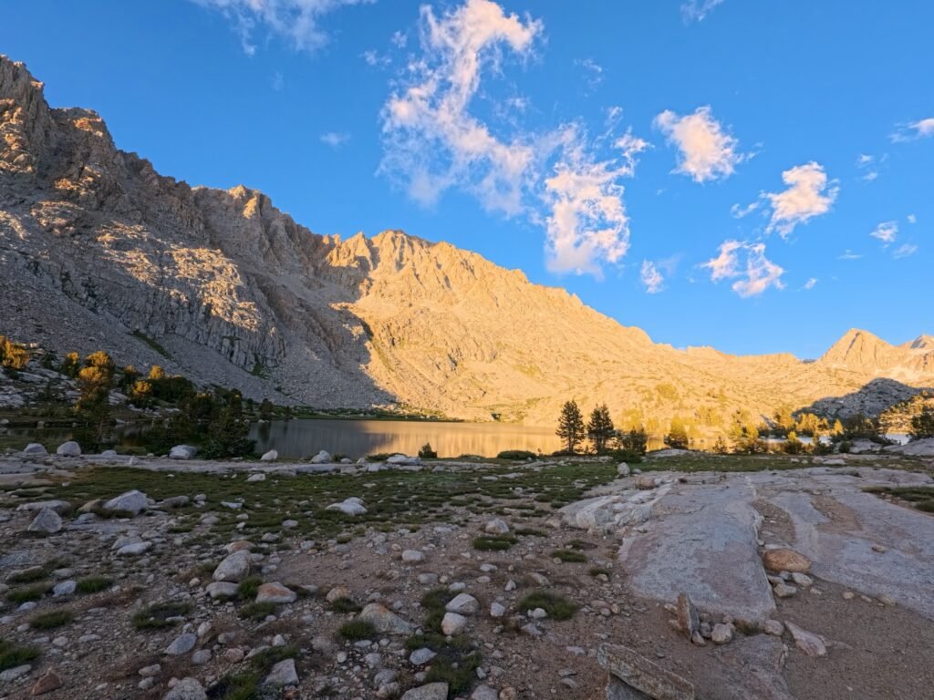
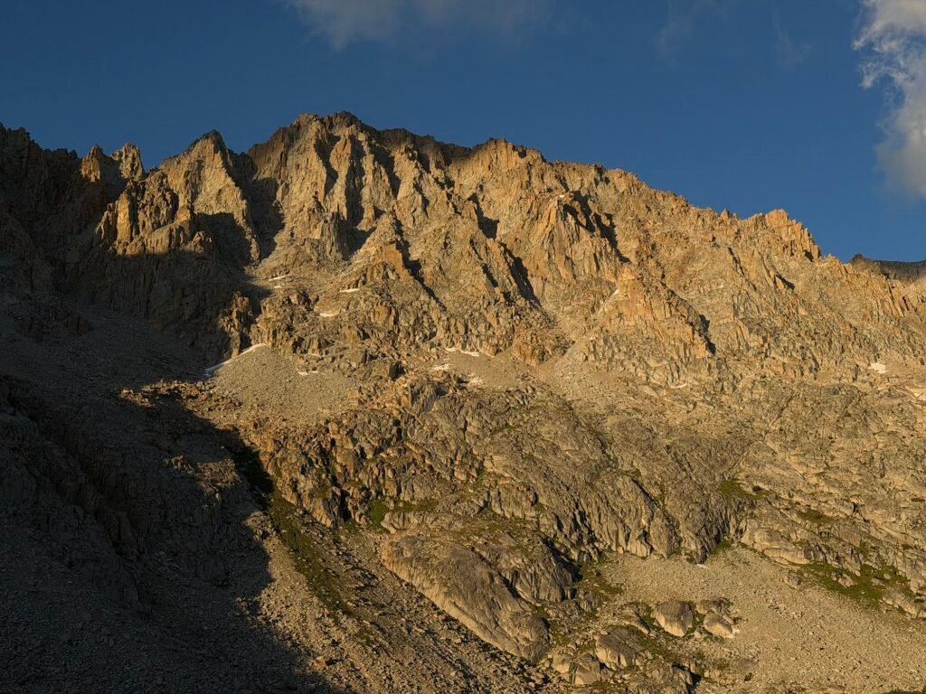
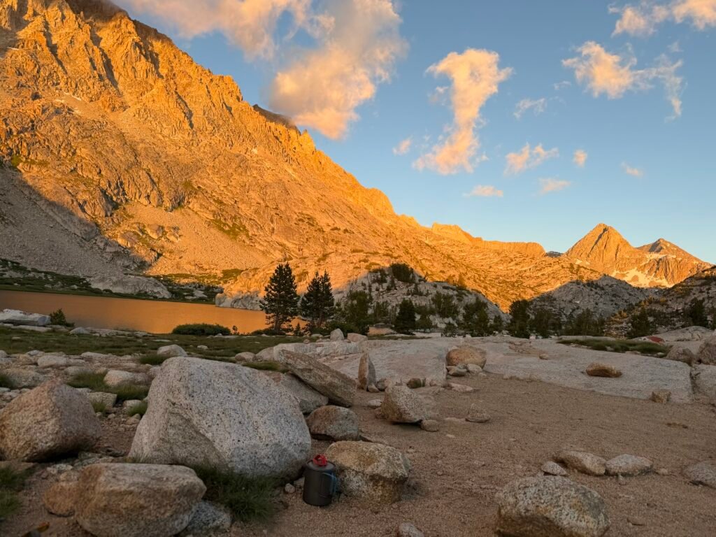
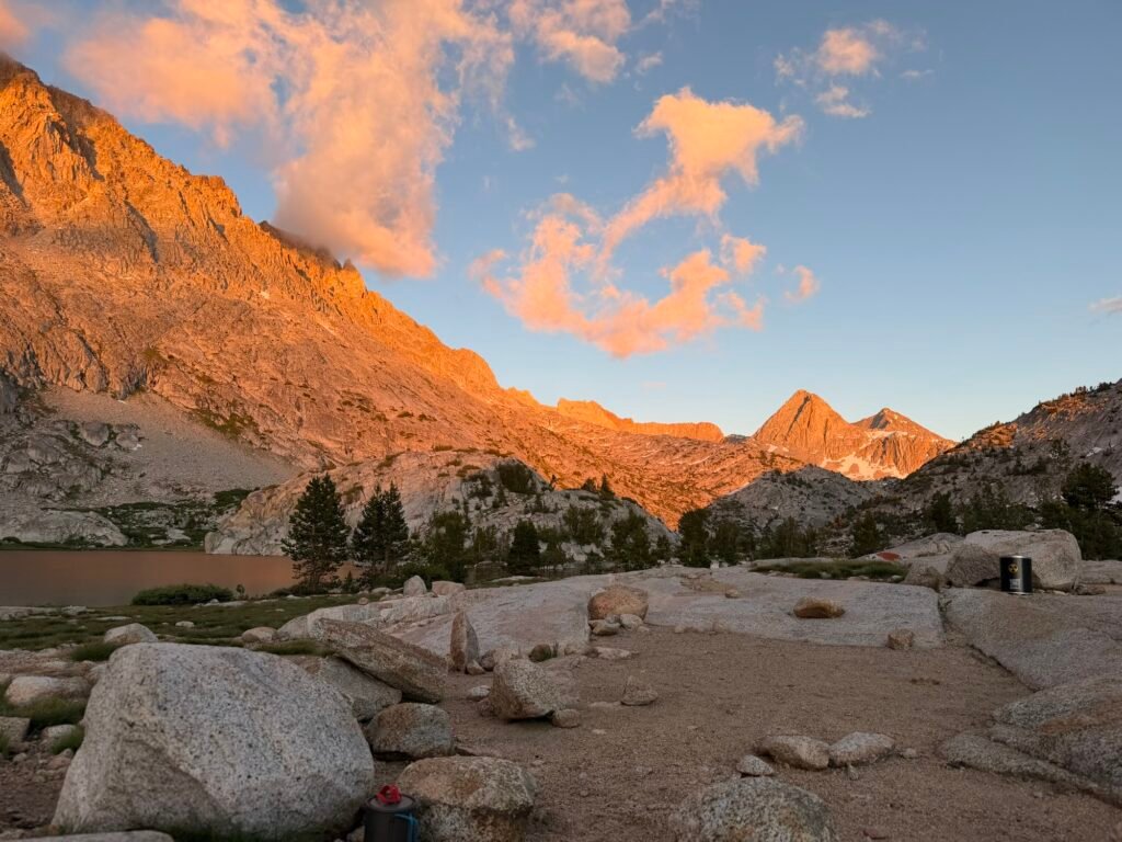
I found a nice camping area at the south side of the lake and settled in for a nice long rest.

Comments by WanderingJim
PCT DAY 85 – CA Section H
"No cell service in many parts of the PCT. Not dead yet."
PCT or BUST!
"Yes, I’ll be going through there by early August"
JMT 2020 Day 3
"I'm afraid I have no idea. Not really a fisherman, so don't..."
JMT 2020 Trek Day by Day
"Yeah, but with 9,000 pictures, it's hard to label each one..."
Kilimanjaro – October 2019
"Everest Base camp is on my list too. Mostly since I know..."